Embed Size (px)
Citation preview

Roadway Sign Data Collection
Video log image data collection
QA/QCDatabaseGIS spatial analysis and presentation, and mapping
GeoTranSolution (GTS) Automatic sign recognition
Reports
Image pattern recognition
Geometrical optics computation
Object Geo-referencing
Successive image superposition and validation
GIS data Integration
(Aerial photos; video log images;
geodatabase)

Image Processing Algorithm
Color Segmentation
ROI Extraction
Sign Detection
Sign Recognition
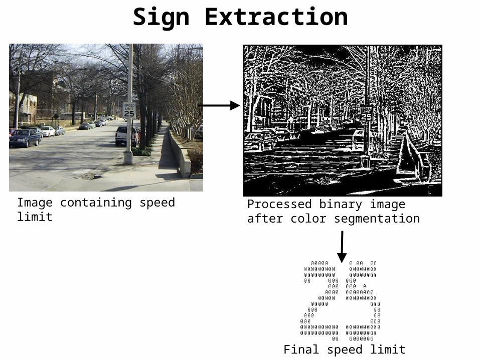
Sign Extraction
Image containing speed limit Processed binary image after color segmentation
Final speed limit extraction

Automatic Sign Extraction