Embed Size (px)
Citation preview
Remote Sensing & Geodesy
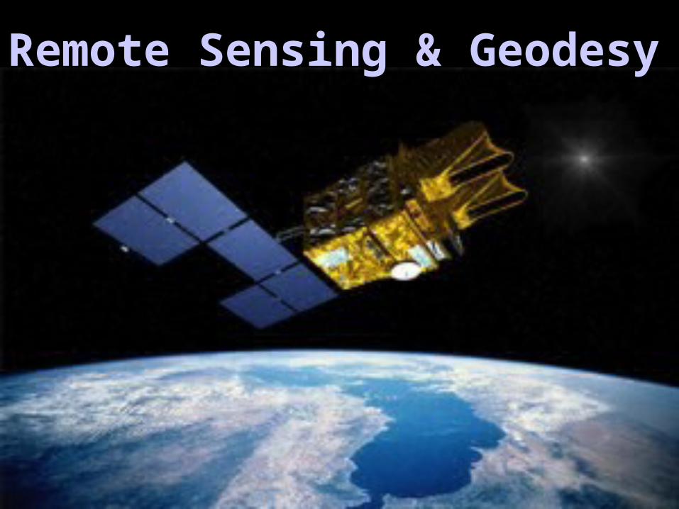
• What is remote sensing?
• History of satellite remote sensing
• Satellite orbits
• Geophysical Examples: Multispectral, GPS, Radar/INSAR, Satellite Gravity
• Geodesy
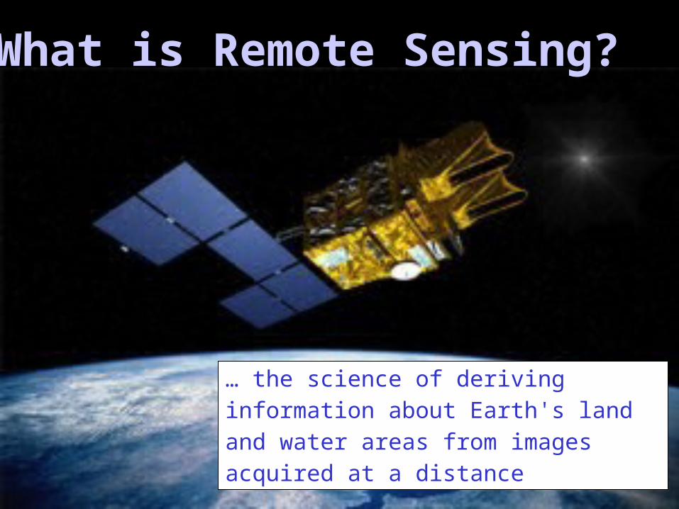
What is Remote Sensing?
… the science of deriving information about Earth's land and water areas from images acquired at a distance
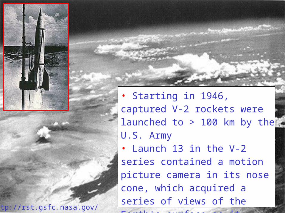
• Starting in 1946, captured V-2 rockets were launched to > 100 km by the U.S. Army • Launch 13 in the V-2 series contained a motion picture camera in its nose cone, which acquired a series of views of the Earth's surface as it proceeded to a 134 km altitude.
http://rst.gsfc.nasa.gov/
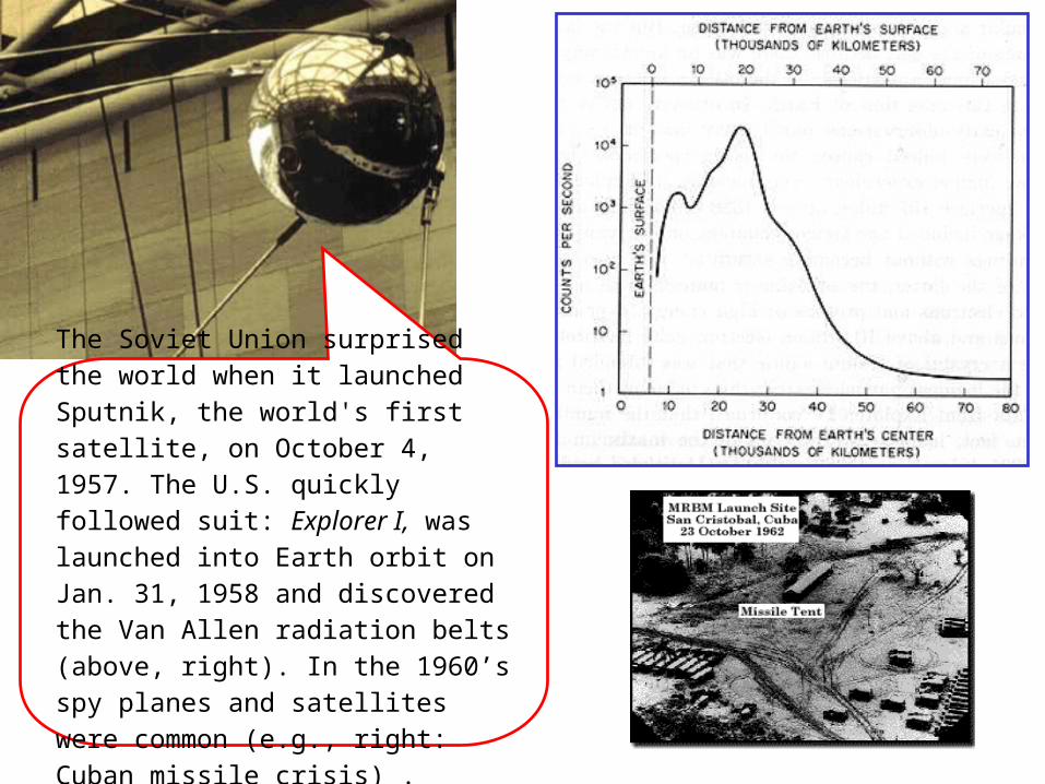
The Soviet Union surprised the world when it launched Sputnik, the world's first satellite, on October 4, 1957. The U.S. quickly followed suit: Explorer I, was launched into Earth orbit on Jan. 31, 1958 and discovered the Van Allen radiation belts (above, right). In the 1960’s spy planes and satellites were common (e.g., right: Cuban missile crisis) .
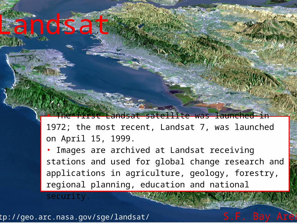
http://geo.arc.nasa.gov/sge/landsat/
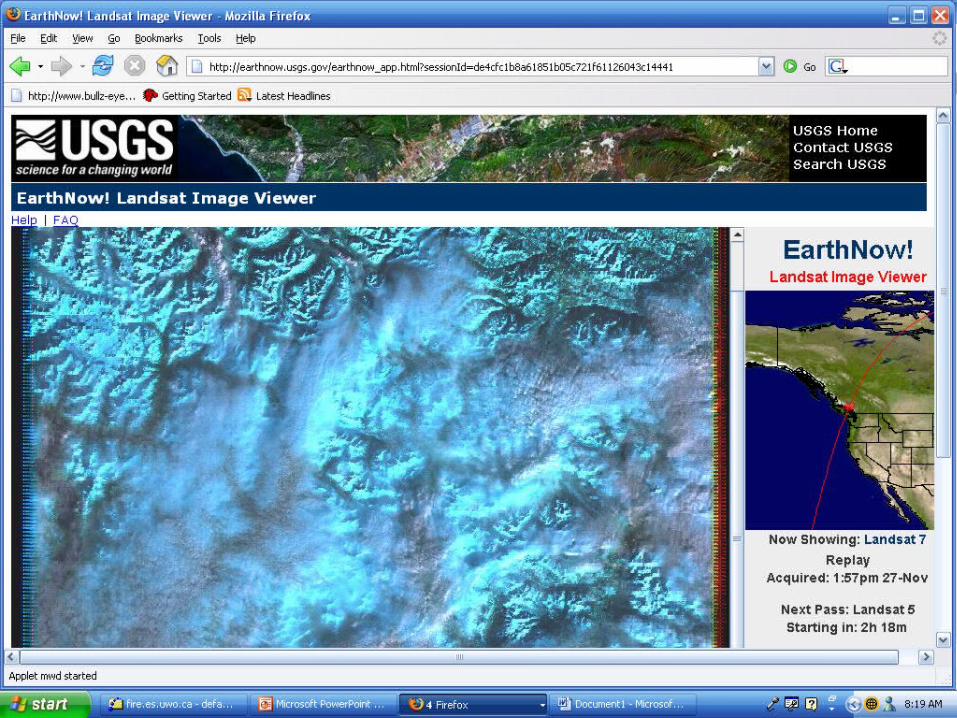
• The first Landsat satellite was launched in 1972; the most recent, Landsat 7, was launched on April 15, 1999. • Images are archived at Landsat receiving stations and used for global change research and applications in agriculture, geology, forestry, regional planning, education and national security.
Landsat
S.F. Bay Area
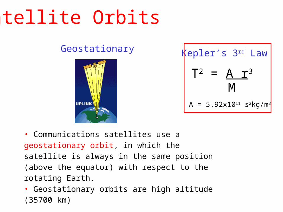
• Communications satellites use a geostationary orbit, in which the satellite is always in the same position (above the equator) with respect to the rotating Earth. • Geostationary orbits are high altitude (35700 km)
Geostationary
T2 = A r3
MA = 5.92x10¹¹ s2kg/m3
Kepler’s 3rd Law
Satellite Orbits
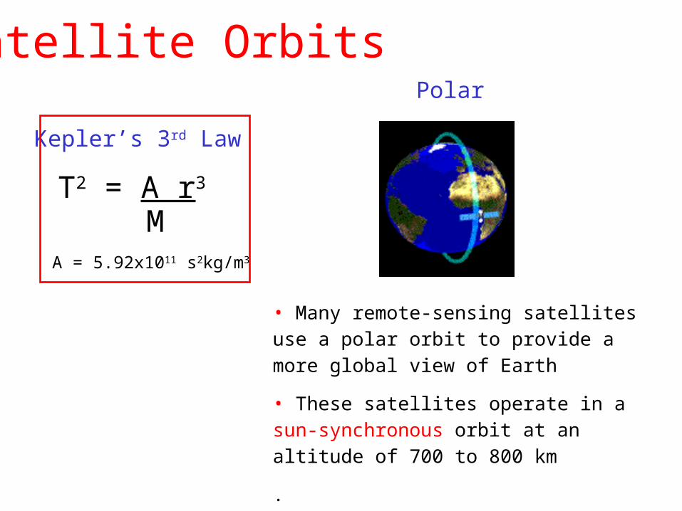
• Many remote-sensing satellites use a polar orbit to provide a more global view of Earth
• These satellites operate in a sun-synchronous orbit at an altitude of 700 to 800 km
.
Polar
T2 = A r3
MA = 5.92x10¹¹ s2kg/m3
Kepler’s 3rd Law
Satellite Orbits
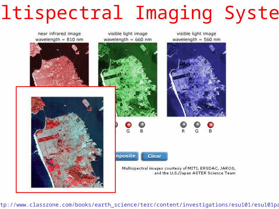
• MSI systems are passive devices that measure electromagnetic waves (e.g. light, infrared) at different wavelengths, then combine the results• Example: Landsat Thematic Mapper (TM) images are produced using 7 different spectral bands
http://www.classzone.com/books/earth_science/terc/content/investigations/esu101/esu101page07.cfm
Multispectral Imaging Systems
http://www.classzone.com/books/earth_science/terc/content/investigations/esu101/esu101page07.cfm
Multispectral Imaging Systems
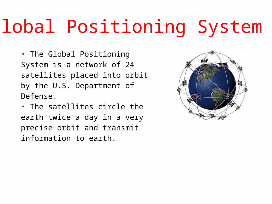
Global Positioning System• The Global Positioning System is a network of 24 satellites placed into orbit by the U.S. Department of Defense. • The satellites circle the earth twice a day in a very precise orbit and transmit information to earth.
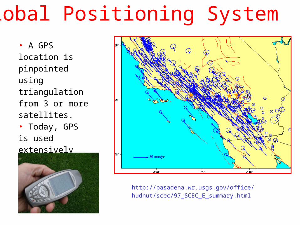
Global Positioning System• A GPS location is pinpointed using triangulation from 3 or more satellites.• Today, GPS is used extensively for navigation and geodetic studies.
http://pasadena.wr.usgs.gov/office/hudnut/scec/97_SCEC_E_summary.html
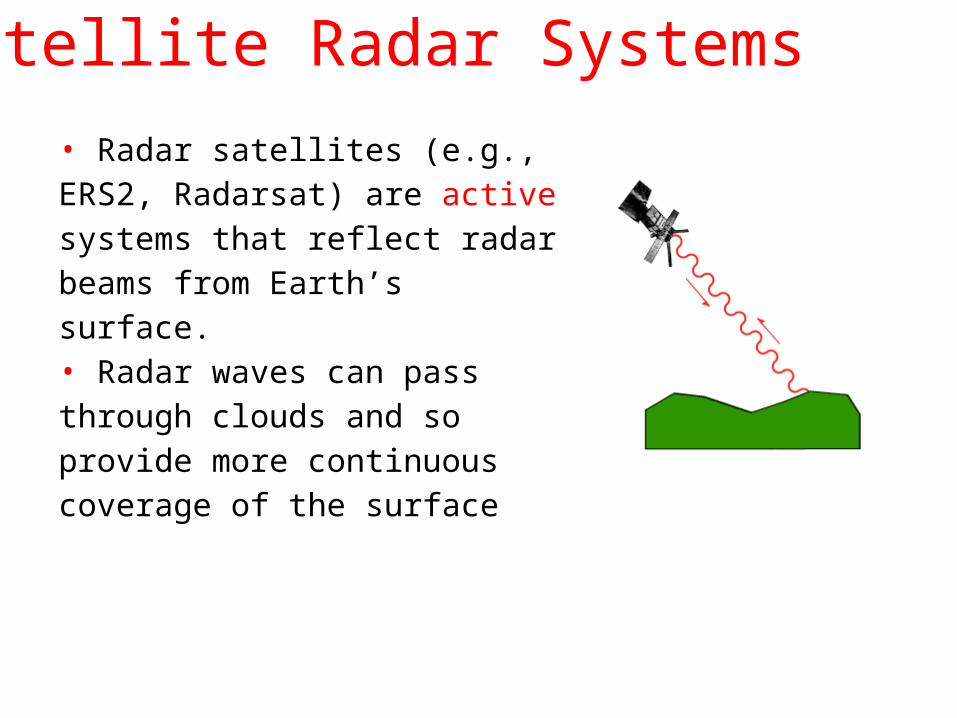
Satellite Radar Systems
• Radar satellites (e.g., ERS2, Radarsat) are active systems that reflect radar beams from Earth’s surface.• Radar waves can pass through clouds and so provide more continuous coverage of the surface
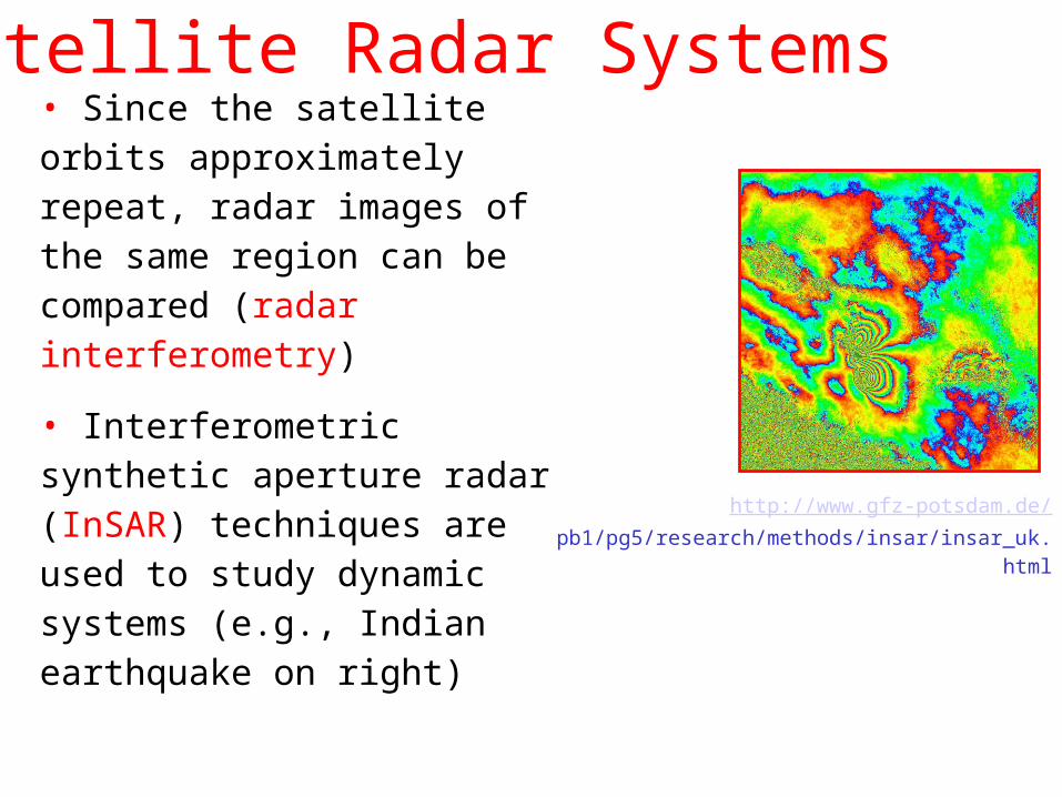
Satellite Radar Systems• Since the satellite orbits approximately repeat, radar images of the same region can be compared (radar interferometry)
• Interferometric synthetic aperture radar (InSAR) techniques are used to study dynamic systems (e.g., Indian earthquake on right)
http://www.gfz-potsdam.de/ pb1/pg5/research/methods/insar/insar_uk.html
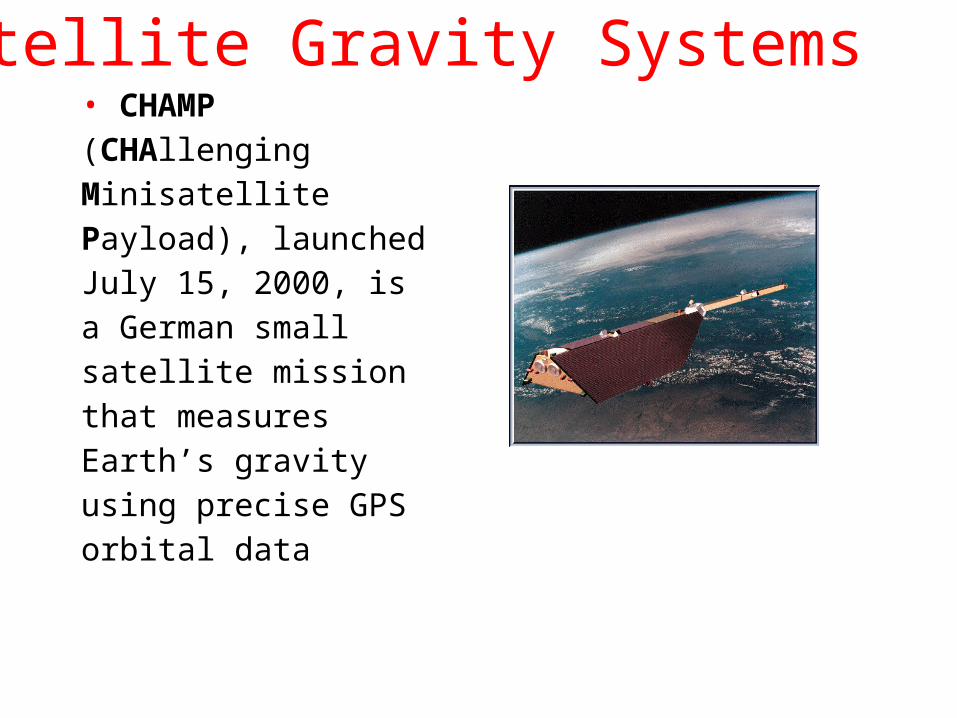
Satellite Gravity Systems• CHAMP (CHAllenging Minisatellite Payload), launched July 15, 2000, is a German small satellite mission that measures Earth’s gravity using precise GPS orbital data
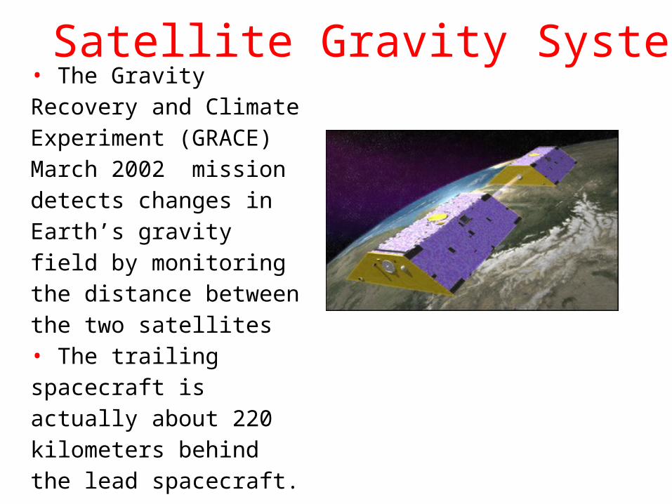
Satellite Gravity Systems• The Gravity Recovery and Climate Experiment (GRACE) March 2002 mission detects changes in Earth’s gravity field by monitoring the distance between the two satellites • The trailing spacecraft is actually about 220 kilometers behind the lead spacecraft.
Satellite Gravity Data
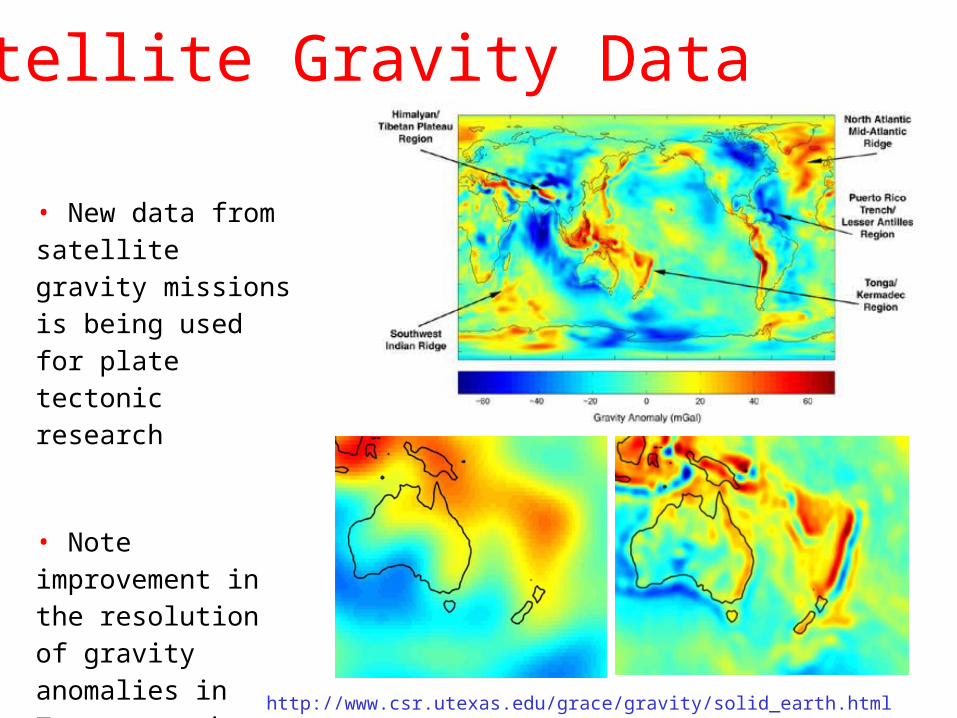
http://www.csr.utexas.edu/grace/gravity/solid_earth.html
• New data from satellite gravity missions is being used for plate tectonic research
• Note improvement in the resolution of gravity anomalies in Tonga trench region
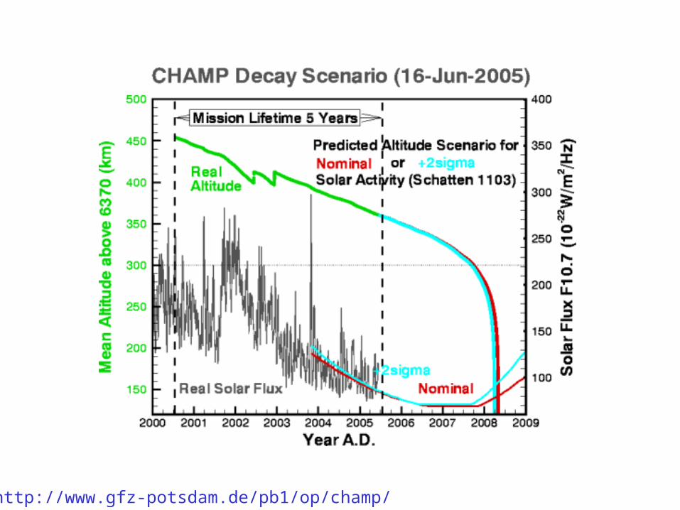
http://www.gfz-potsdam.de/pb1/op/champ/
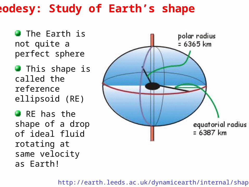
Geodesy: Study of Earth’s shape
The Earth is not quite a perfect sphere
This shape is called the reference ellipsoid (RE)
RE has the shape of a drop of ideal fluid rotating at same velocity as Earth!
http://earth.leeds.ac.uk/dynamicearth/internal/shape.htm
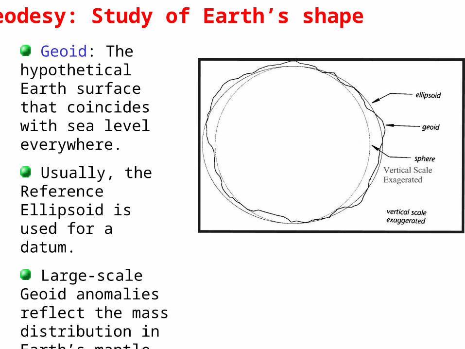
Geodesy: Study of Earth’s shape
Geoid: The hypothetical Earth surface that coincides with sea level everywhere.
Usually, the Reference Ellipsoid is used for a datum.
Large-scale Geoid anomalies reflect the mass distribution in Earth’s mantle.
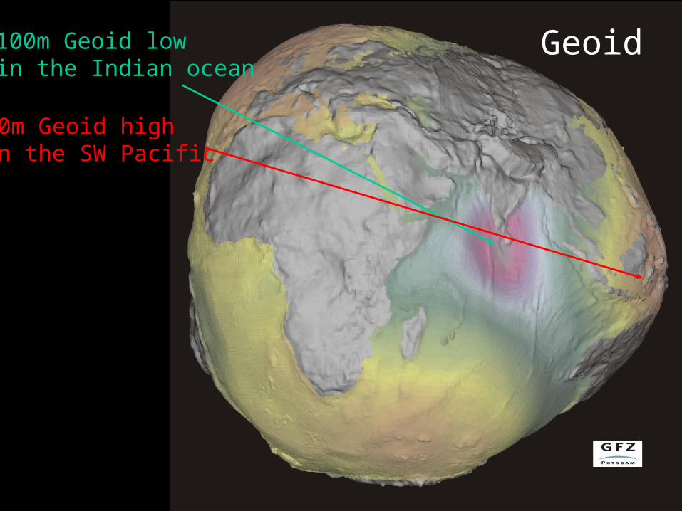
Geoid100m Geoid lowin the Indian ocean
70m Geoid highin the SW Pacific