Embed Size (px)
Citation preview
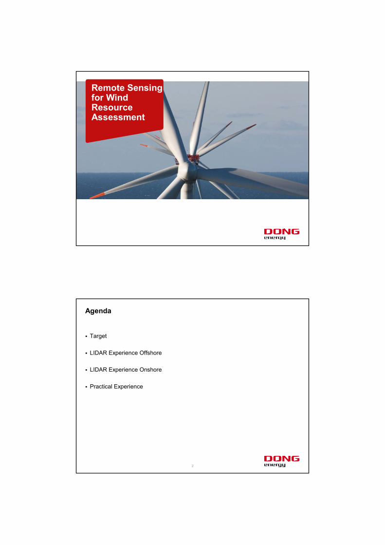
Remote Sensingfor Wind Resource Assessment
� Target
� LIDAR Experience Offshore
� LIDAR Experience Onshore
� Practical Experience
2
Agenda
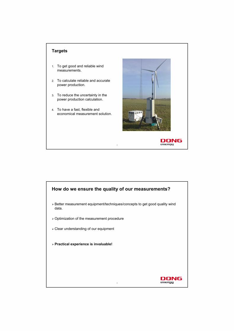
1. To get good and reliable wind measurements.
2. To calculate reliable and accurate power production.
3. To reduce the uncertainty in the power production calculation.
4. To have a fast, flexible and economical measurement solution.
3
Targets
� Better measurement equipment/techniques/concepts to get good quality wind data.
� Optimization of the measurement procedure
� Clear understanding of our equipment
� Practical experience is invaluable!
4
How do we ensure the quality of our measurements?
5
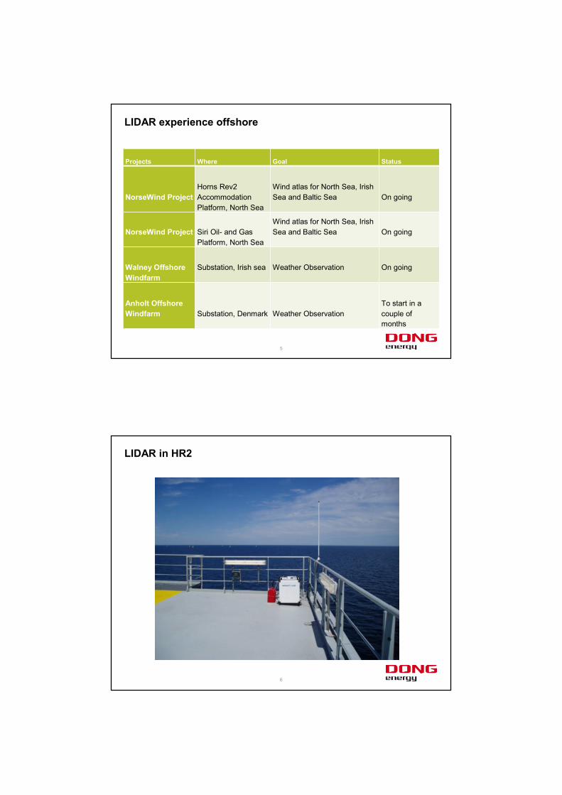
LIDAR experience offshore
Projects Where Goal Status
NorseWind ProjectHorns Rev2 Accommodation Platform, North Sea
Wind atlas for North Sea, Irish Sea and Baltic Sea On going
NorseWind Project Siri Oil- and Gas Platform, North Sea
Wind atlas for North Sea, Irish Sea and Baltic Sea On going
Walney Offshore Windfarm
Substation, Irish sea Weather Observation On going
Anholt Offshore Windfarm Substation, Denmark Weather Observation
To start in a couple of months
6
LIDAR in HR2
7
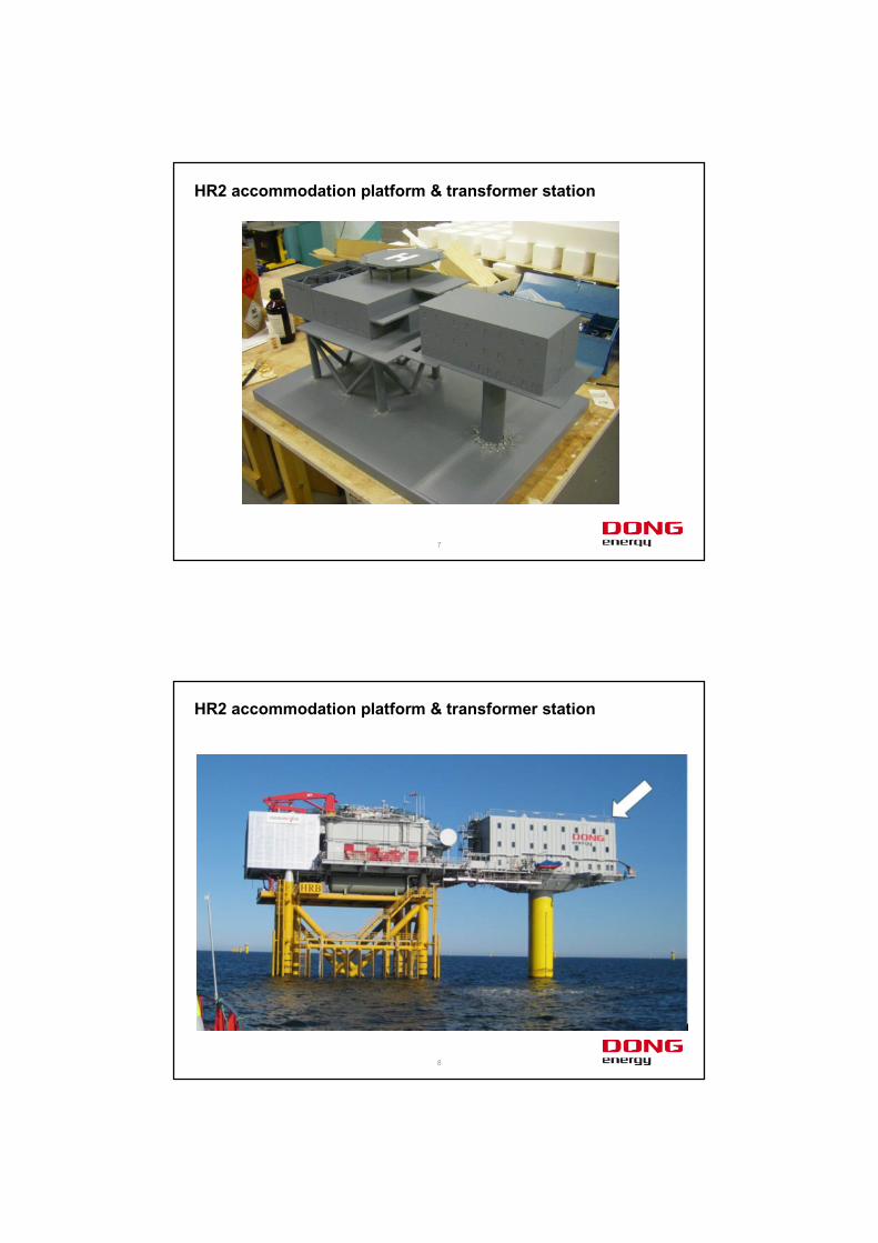
HR2 accommodation platform & transformer station
8
HR2 accommodation platform & transformer station
9
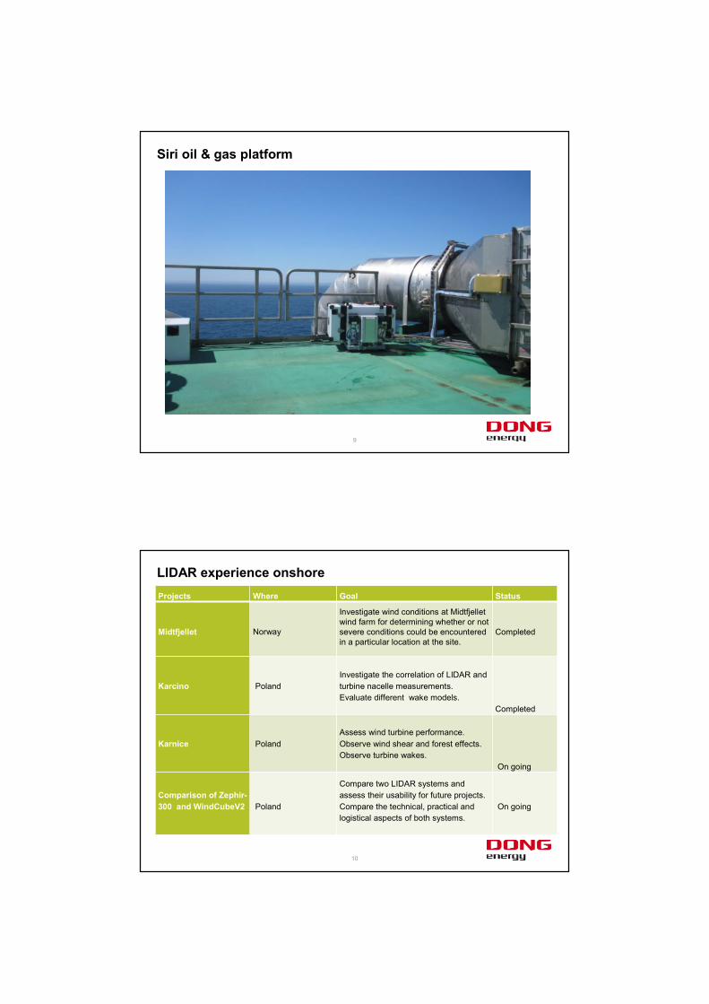
Siri oil & gas platform
10
LIDAR experience onshoreProjects Where Goal Status
Midtfjellet Norway
Investigate wind conditions at Midtfjelletwind farm for determining whether or not severe conditions could be encountered in a particular location at the site.
Completed
Karcino PolandInvestigate the correlation of LIDAR and turbine nacelle measurements.Evaluate different wake models.
Completed
Karnice PolandAssess wind turbine performance.Observe wind shear and forest effects.Observe turbine wakes.
On going
Comparison of Zephir-300 and WindCubeV2 Poland
Compare two LIDAR systems and assess their usability for future projects.Compare the technical, practical and logistical aspects of both systems.
On going
11
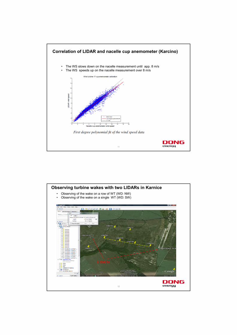
Correlation of LIDAR and nacelle cup anemometer (Karcino)
• The WS slows down on the nacelle measurement until app. 8 m/s• The WS speeds up on the nacelle measurement over 8 m/s
12
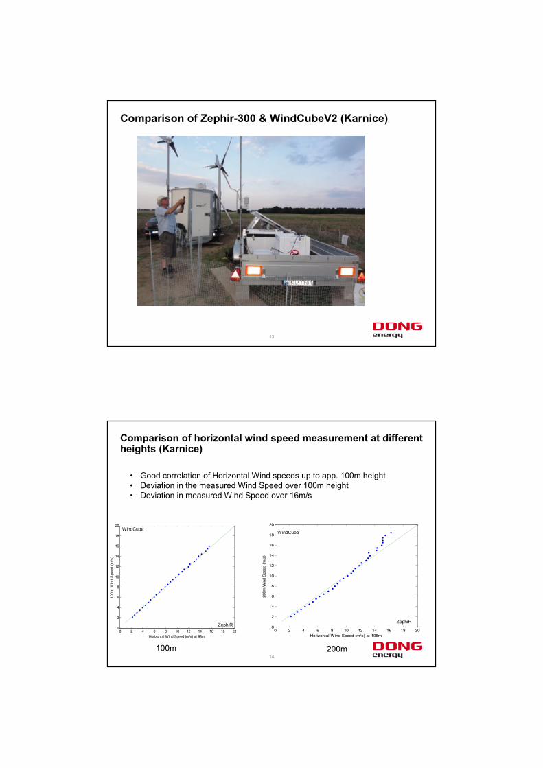
Observing turbine wakes with two LIDARs in Karnice• Observing of the wake on a row of WT (WD: NW) • Observing of the wake on a single WT (WD: SW)
LIDARs
13
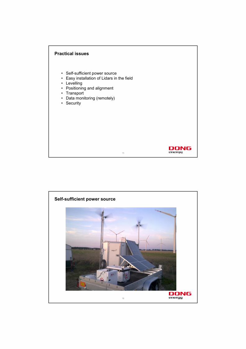
Comparison of Zephir-300 & WindCubeV2 (Karnice)
14
Comparison of horizontal wind speed measurement at different heights (Karnice)
0 2 4 6 8 10 12 14 16 18 200
2
4
6
8
10
12
14
16
18
20
Horizontal Wind Speed (m/s) at 98m
100m
Win
dS
peed
(m/s
)
0 2 4 6 8 10 12 14 16 18 200
2
4
6
8
10
12
14
16
18
20
Horizontal Wind Speed (m/s) at 198m
200m
Win
dS
peed
(m/s
)
ZephiR
WindCube
100m 200m
WindCube
ZephiR
• Good correlation of Horizontal Wind speeds up to app. 100m height• Deviation in the measured Wind Speed over 100m height• Deviation in measured Wind Speed over 16m/s
15
Practical issues
• Self-sufficient power source• Easy installation of Lidars in the field• Levelling• Positioning and alignment• Transport • Data monitoring (remotely)• Security
16
Self-sufficient power source
17
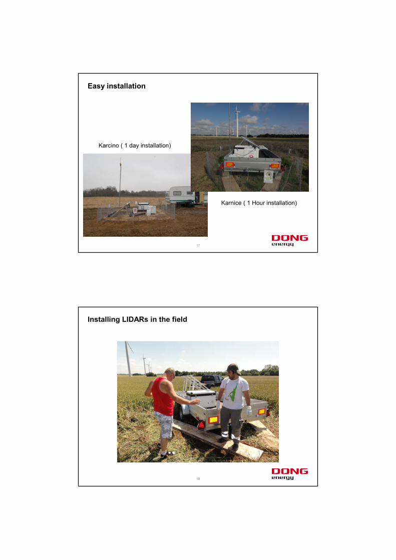
Easy installation
Karcino ( 1 day installation)
Karnice ( 1 Hour installation)
18
Installing LIDARs in the field
19
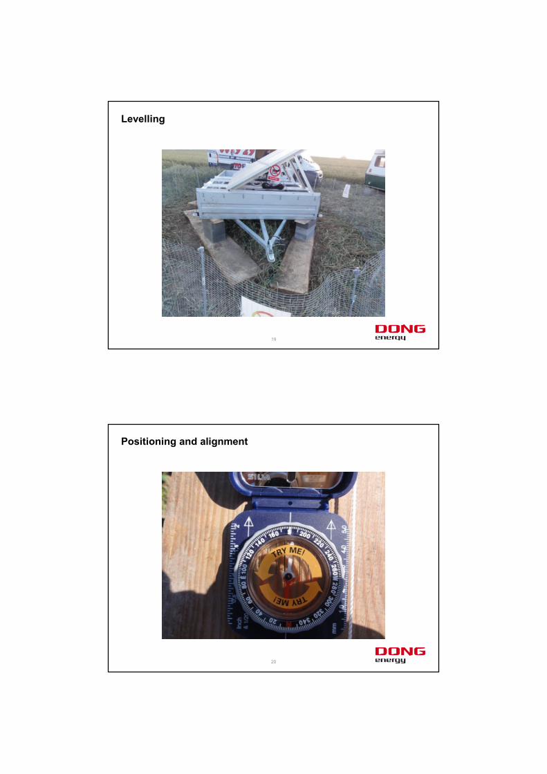
Levelling
20
Positioning and alignment
21
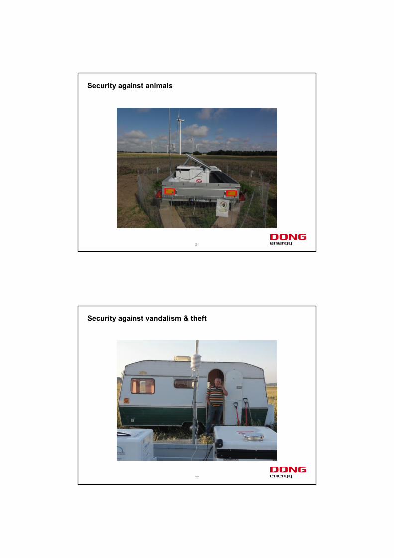
Security against animals
22
Security against vandalism & theft
23
Thank you!