2
Public School District Attendance Areas and Educational Facility Locations Map 1 of 1 n n $ n n n $ $ # $ " c # $ " Family Center Fairview Day TC Pathways To Change South Center Manor Sunrise Township Amador Township Lent Township Chisago Lake Township Shafer Township Franconia Township Wyoming Township New Scandia Township North Branch Franconia Forest Lake CHISAGO LAKES CHISAGO LAKES PRIMARY & LAKESIDE TAYLORS FALLS " ! ) 52 " ! ) 3 " ! ) 17 " ! ) 12 " ! ) 21 " ! ) 31 " ! ) 25 " ! ) 67 " ! ) 34 " ! ) 83 " ! ) 15 " ! ) 77 " ! ) 20 " ! ) 36 " ! ) 15A " ! ) 26 " ! ) 72 " ! ) 75 " ! ) 73 " ! ) 80 " ! ) 23 " ! ) 30 " ! ) 1 " ! ) 24 " ! ) 88 " ! ) 22 " ! ) 2 " ! ) 74 " ! ) 19 " ! ) S " ! ) 18 " ! ) 81 " ! ) 71 " ! ) 37 " ! ) M " ! ) 9 " ! ) 14 " ! ) 85 " ! ) 70 " ! ) 79 " ! ) 16 " ! ) 84 " ! ) X " ! ) 86 " ! ) 82 " ! ) 76 " ) 87 " ) 35 " ) 95 " ) 97 " ) 243 £ ¤ 61 £ ¤ 8 TRIO Wolf Creek TRIO Wolf Creek Chisago Lakes Baptist Valley Christian School Chisago Lakes High Chisago Lakes Middle Chisago Lakes Primary Lakeside Elem Taylors Falls Elem North Branch Stacy Lindstrom Chisago City Taylors Falls Shafer Forest Lake Center City 1 Public School Attendance Areas Elementary School Attendance Area Middle School Attendance Area High School Attendance Area ELEM MIDD HIGH Other Features Interstate Highway U.S. Highway State Highway County Highway Road/Street Railroad Lake/Pond Stream Minor Civil Division (Cities, Townships and Unorganized areas) Public Land Survey Township / Range Public Land Survey Section 3 3 4 2 2 2 2 2 3 5 5 § ¨ ¦ 94 Æ ÿ 200 Æ · 18 ( / 61 Main Street Public School Districts School District Adjacent School District 1 INSET - SEE MAP 2 OF 2 (if applicable) Chisago Lakes 2144 Lake of the Woods Kittson Roseau Koochiching St. Louis Marshall Beltrami Cook Polk Pennington Lake Clearwater Red Lake Itasca Norman Mahnomen Cass Hubbard Clay Becker Aitkin Wadena Crow Wing Carlton Otter Tail Wilkin Pine Todd Morrison Mille Lacs Kanabec Grant Douglas Traverse Benton Stevens Pope Stearns Isanti Chisago Big Stone Sherburne Swift Kandiyohi Wright Anoka Meeker Lac Qui Parle Washington Hennepin Chippewa Ramsey McLeod Carver Yellow Medicine Dakota Renville Scott Sibley Redwood Goodhue Lincoln Lyon Le Sueur Rice Brown Nicollet Wabasha Blue Earth Pipestone Murray Cottonwood Winona Waseca Steele Dodge Olmsted Watonwan Rock Nobles Jackson Martin Houston Faribault Fillmore Freeborn Mower School District Location in Minnesota Public Educational Facilities or Programs 1 Elementary school Middle / Junior high school High / Secondary school School District Office n n n c " # Non-Public school Public Charter school $ Other School Program (examples) - Area Learning Center (ALC) - Area Learning Program (ALP) - Targeted Services - College/University - Correctional - Secondary Education Legend School District County Boundary Data Sources: 1. Minnesota Department of Education, IT Division, 2010 2. Metropolitan Council, 2010, Minnesota Department of Transportation, 2004 3. Minnesota Geographic Information Office 4. U.S. Bureau of the Census, Minnesota Legislative GIS Office (modified to include annexations files with Municipal Board through May 2003) 5. Minnesota Department of Natural Resources Special Note: The school district boundary appearing on this map do not necessarily represent the legal boundary of the district. It is a generalization of boundaries drawn on maps in the late 1980's by county official's and modified by the U.S. Bureau of the Census, most recently for Census 2000. Since 2005, district boundary's have been modified by the Dept. of Education based on completed County Parcel information. Please contact your county auditor or assessor to obtain an accurate legal description of the boundary. Liability Statement: The Minnesota Department of Education does not warranty the results you may obtain by using this map. This map is provided without express or implied warranties, including warranties of merchantability and fitness. In no event will MDE be liable for any consequential, incidental or special damages, including any lost profits or lost savings, even if an MDE representative has been advised of the possibility of such damages or any other claim by any third party. 1 : 33,600 μ For further assistance with this map, contact: Jake Stark [email protected] MN Department of Education Division of Information Technology 1500 Highway 36 West Roseville, MN 55113 Go to List of Educational Facilities

Public School District Attendance Areas and Educational

  • Upload
    others

  • View
    1

  • Download
    0

Embed Size (px)

Citation preview

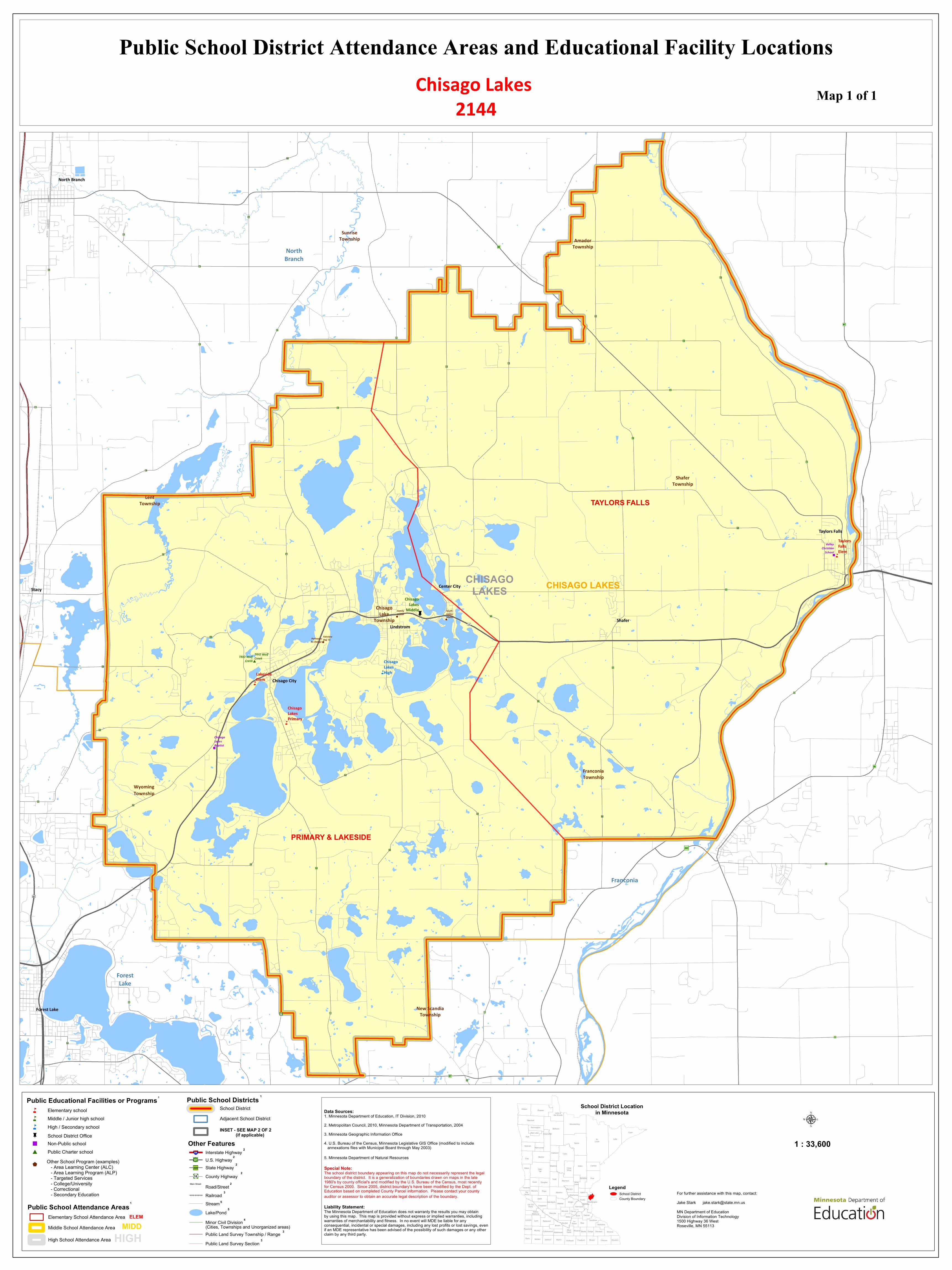
Public School District Attendance Areas and Educational Facility LocationsMap 1 of 1

n

n

$n

n

n

$$

$

#

$

"

c

#

$

"

FamilyCenter

FairviewDay TCPathways

To Change

SouthCenterManor

SunriseTownship Amador

Township

LentTownship

ChisagoLake

Township

ShaferTownship

FranconiaTownship

WyomingTownship

New ScandiaTownship

NorthBranch

Franconia

ForestLake

CHISAGOLAKES CHISAGO LAKES

PRIMARY & LAKESIDE

TAYLORS FALLS

"!)52

"!)3

"!)17

"!)12

"!)21

"!)31

"!)25

"!)67

"!)34

"!)83

"!)15

"!)77

"!)20

"!)36

"!)15A

"!)26

"!)72

"!)75

"!)73

"!)80

"!)23

"!)30

"!)1

"!)24

"!)88

"!)22

"!)2

"!)74

"!)19

"!)S

"!)18

"!)81

"!)71

"!)37

"!)M

"!)9

"!)14

"!)85

"!)70

"!)79

"!)16

"!)84

"!)X

"!)86

"!)82

"!)76

")87

")35

")95

")97

")243

£¤61

£¤8

TRIO WolfCreekTRIO Wolf

Creek

ChisagoLakesBaptist

ValleyChristian

School

ChisagoLakesHigh

ChisagoLakes

Middle

ChisagoLakesPrimary

LakesideElem

TaylorsFallsElem

North Branch

Stacy

Lindstrom

Chisago City

Taylors Falls

Shafer

Forest Lake

Center City

1Public School Attendance AreasElementary School Attendance AreaMiddle School Attendance Area

High School Attendance Area

ELEMMIDD

HIGH

Other FeaturesInterstate HighwayU.S. HighwayState HighwayCounty HighwayRoad/StreetRailroad

Lake/PondStream

Minor Civil Division(Cities, Townships and Unorganized areas)Public Land Survey Township / RangePublic Land Survey Section

3

3

4

2

2

2

2

2

3

5

5

§̈¦94

Æÿ200

Æ·18

(/61

Main Street

Public School DistrictsSchool DistrictAdjacent School District

1

INSET - SEE MAP 2 OF 2 (if applicable)

Chisago Lakes 2144

Lake ofthe Woods

Kittson Roseau

Koochiching

St.Louis

Marshall

BeltramiCook

Polk

Pennington

Lake

ClearwaterRed Lake

ItascaNorman Mahnomen

CassHubbard

Clay Becker

AitkinWadenaCrowWing

CarltonOtterTail

Wilkin

PineTodd Morrison MilleLacs

KanabecGrant Douglas

Traverse BentonStevens Pope Stearns Isanti

ChisagoBig

Stone SherburneSwift

Kandiyohi WrightAnoka

MeekerLac QuiParle

Washington

HennepinChippewa Ramsey

McLeod CarverYellowMedicine Dakota

RenvilleScottSibley

Redwood GoodhueLincoln Lyon LeSueur Rice

BrownNicollet Wabasha

BlueEarth

Pipestone Murray Cottonwood WinonaWaseca Steele Dodge OlmstedWatonwan

Rock Nobles Jackson Martin HoustonFaribault FillmoreFreeborn Mower

School District Locationin Minnesota

Public Educational Facilities or Programs 1

Elementary schoolMiddle / Junior high schoolHigh / Secondary schoolSchool District Office

n

n

n

c"

#

Non-Public schoolPublic Charter school

$Other School Program (examples) - Area Learning Center (ALC) - Area Learning Program (ALP) - Targeted Services - College/University - Correctional - Secondary Education

LegendSchool DistrictCounty Boundary

Data Sources:1. Minnesota Department of Education, IT Division, 20102. Metropolitan Council, 2010, Minnesota Department of Transportation, 20043. Minnesota Geographic Information Office4. U.S. Bureau of the Census, Minnesota Legislative GIS Office (modified to include annexations files with Municipal Board through May 2003)

5. Minnesota Department of Natural Resources

Special Note:The school district boundary appearing on this map do not necessarily represent the legal boundary of the district. It is a generalization of boundaries drawn on maps in the late 1980's by county official's and modified by the U.S. Bureau of the Census, most recently for Census 2000. Since 2005, district boundary's have been modified by the Dept. of Education based on completed County Parcel information. Please contact your county auditor or assessor to obtain an accurate legal description of the boundary.

Liability Statement:The Minnesota Department of Education does not warranty the results you may obtainby using this map. This map is provided without express or implied warranties, including warranties of merchantability and fitness. In no event will MDE be liable for any consequential, incidental or special damages, including any lost profits or lost savings, even if an MDE representative has been advised of the possibility of such damages or any other claim by any third party.

1 : 33,600

µ

For further assistance with this map, contact:Jake Stark [email protected] Department of EducationDivision of Information Technology1500 Highway 36 WestRoseville, MN 55113

Go to List of Educational Facilities

Chisago Lakes

Public Schools

Chisago Lakes High

Chisago Lakes Middle

Chisago Lakes Primary

Lakeside Elem

Taylors Falls Elem

TRIO Wolf Creek

Other School Programs

Chisago Lakes ESY

Fairview Day TC

Family Center

Pathways To Change

South Center Manor

Nonpublic Schools

Chisago Lakes Baptist

Valley Christian School