Embed Size (px)
Citation preview
Providing Info & Maps to Non-GIS
Users & Tips, Tricks in ArcGIS
with Gary Moody
Session Topics
• ArcPublisher• ArcReader• ArcCatalog• Table of Contents• Map Navigation• Editing in ArcMap• Layer Files
Publisher
• Easily provide interactive maps to your clients.• Protect your maps, including cartography and data, from
inappropriate use.• Control how your published maps are used and who uses
them.• Create rich interactive maps that meet your clients' needs.• Provide efficient and controlled access to your enterprise
GIS data.• Easily package the required data and maps for distribution.• Build custom map viewers for your maps.
ArcGIS Publisher is an extension to the ArcGIS Desktop that lets you easily share and distribute your GIS maps and data with anyone.
Use it to create Published Map Files (PMFs) that can be viewed, explored, or printed by anyone with the free ArcReader application.
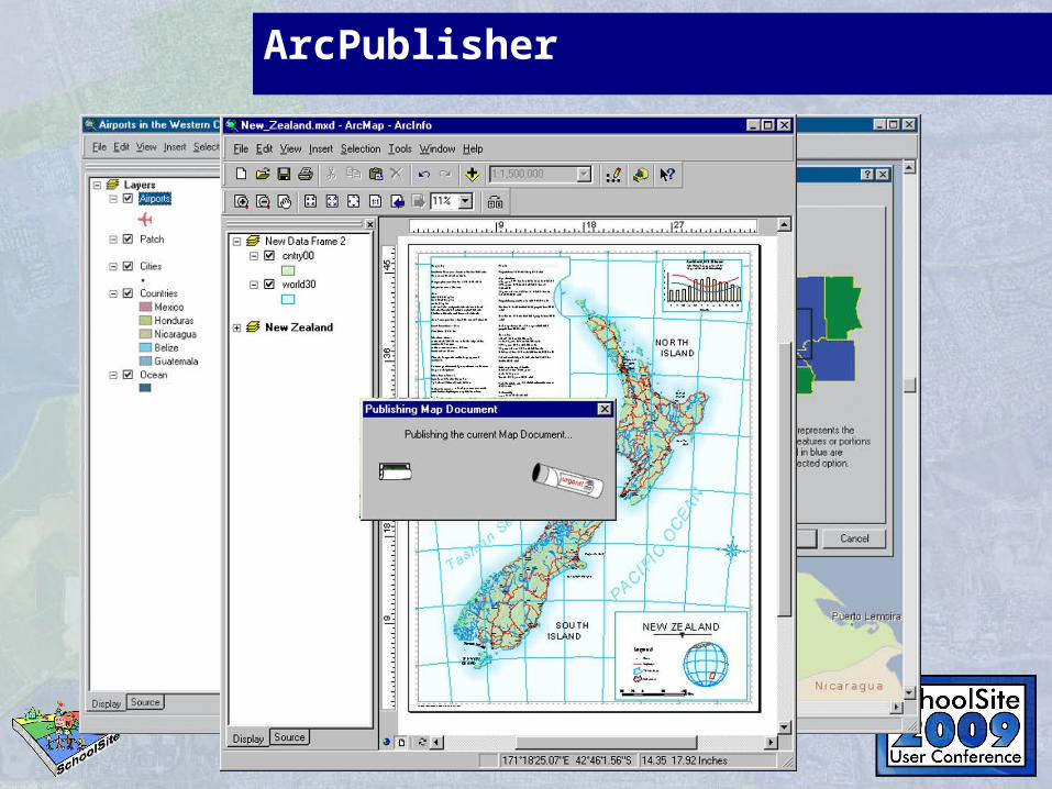
ArcPublisher
ArcReader
• View, navigate, and print published ArcGIS maps using ArcReader (.pmf files).
• Deploy your GIS data to novices and professionals alike.• Zoom, pan, and switch between map and page layout
view.• Communicate more efficiently with the ability to
graphically mark up maps.• Print published map and globe documents including all
layer symbology and cartographic map elements on any supported printer.
• Create custom ArcReader applications and embed ArcReader capabilities into existing applications.
ArcReader is a free, easy-to-use desktop mapping application that allows users to view, explore, and print maps and globes. Anyone with ArcReader can view high-quality interactive maps authored by a higher-level ArcGIS Desktop product and published with the ArcGIS Publisher extension.With ArcReader you can
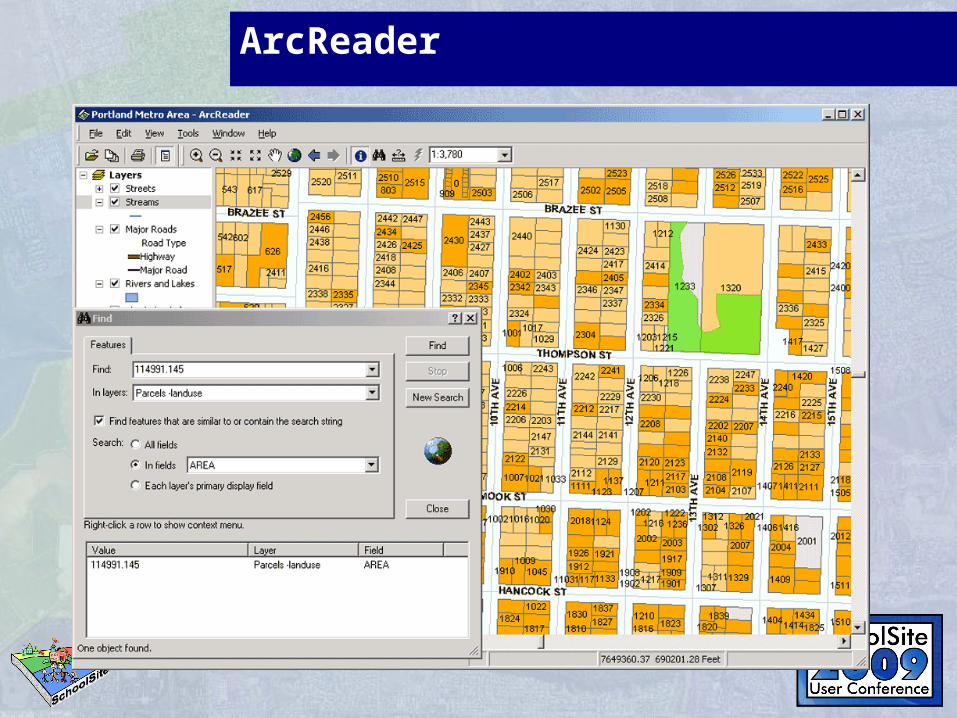
ArcReader
ArcCatalog Tips
• Options• Turn off unused file types• Custom tool bars
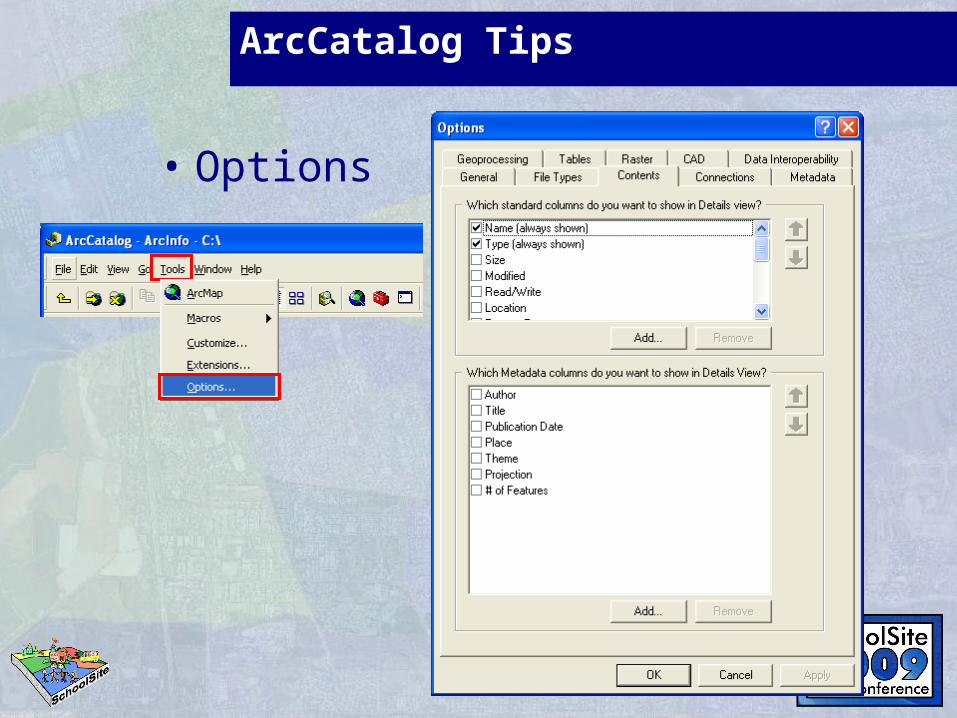
ArcCatalog Tips
• Options
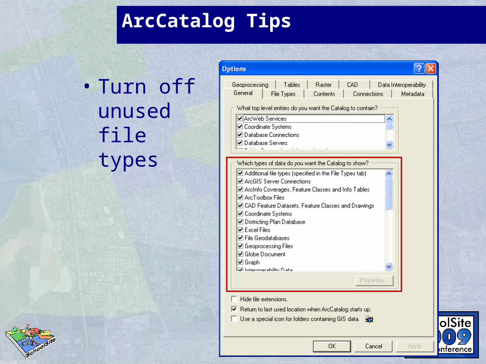
ArcCatalog Tips
• Turn off unused file types
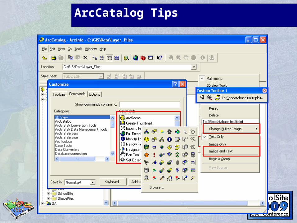
ArcCatalog Tips
• Custom Toolbars
ArcCatalog Tips
EXERCISESEXERCISES
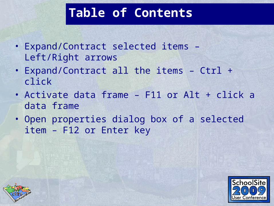
Table of Contents
• Expand/Contract selected items – Left/Right arrows• Expand/Contract all the items – Ctrl + click• Activate data frame – F11 or Alt + click a data
frame• Open properties dialog box of a selected item –
F12 or Enter key
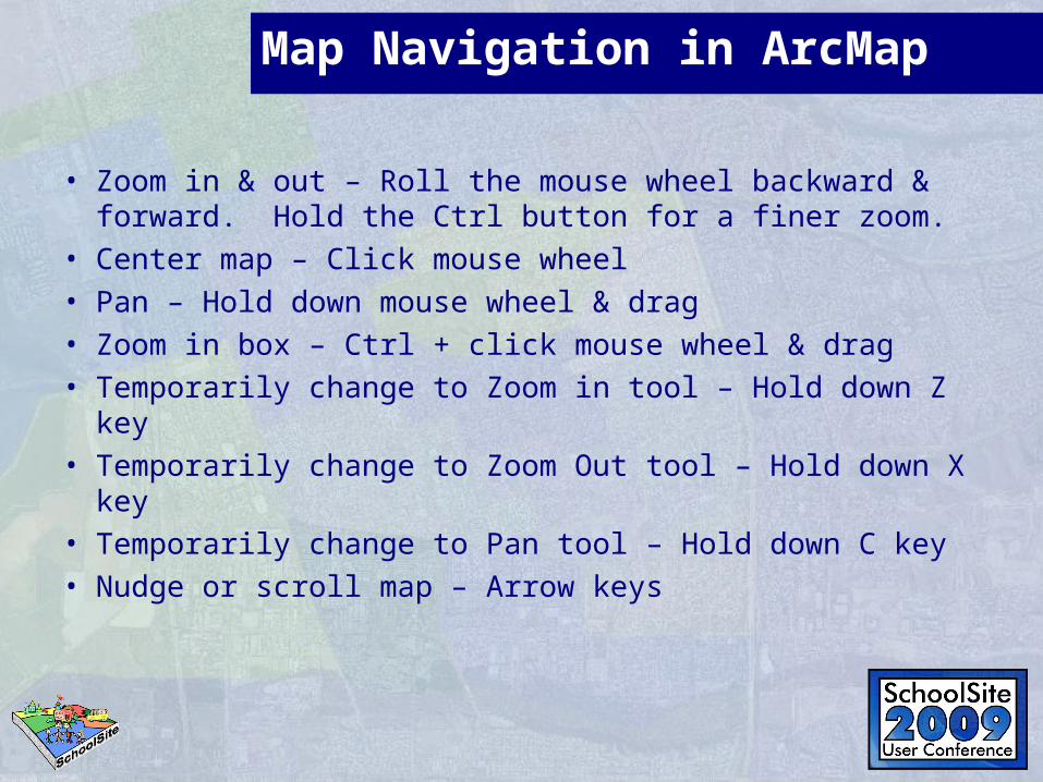
Map Navigation in ArcMap
• Zoom in & out – Roll the mouse wheel backward & forward. Hold the Ctrl button for a finer zoom.
• Center map – Click mouse wheel• Pan – Hold down mouse wheel & drag• Zoom in box – Ctrl + click mouse wheel & drag• Temporarily change to Zoom in tool – Hold down Z key• Temporarily change to Zoom Out tool – Hold down X
key• Temporarily change to Pan tool – Hold down C key• Nudge or scroll map – Arrow keys
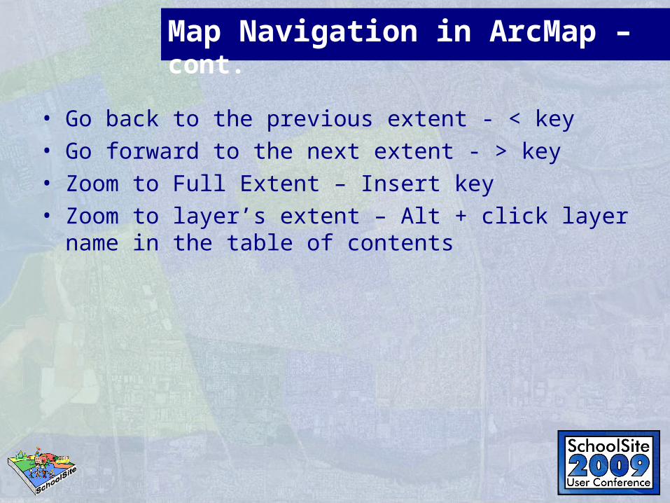
Map Navigation in ArcMap – cont.
• Go back to the previous extent - < key• Go forward to the next extent - > key• Zoom to Full Extent – Insert key• Zoom to layer’s extent – Alt + click layer name in
the table of contents
Map Navigation in ArcMap – cont.
EXERCISESEXERCISES
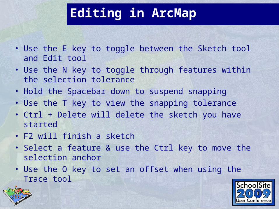
Editing in ArcMap
• Use the E key to toggle between the Sketch tool and Edit tool
• Use the N key to toggle through features within the selection tolerance
• Hold the Spacebar down to suspend snapping• Use the T key to view the snapping tolerance• Ctrl + Delete will delete the sketch you have started• F2 will finish a sketch• Select a feature & use the Ctrl key to move the
selection anchor• Use the O key to set an offset when using the Trace
tool
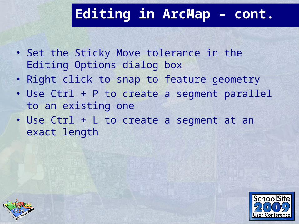
Editing in ArcMap – cont.
• Set the Sticky Move tolerance in the Editing Options dialog box
• Right click to snap to feature geometry• Use Ctrl + P to create a segment parallel to an
existing one• Use Ctrl + L to create a segment at an exact
length
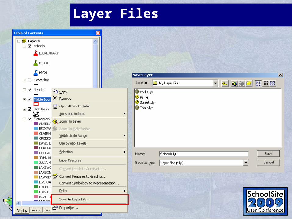
Layer Files
• Layer Files reference geographic data stored on a disk. You can think of them as a cartographic view of your geographic data.
• They are separate files on a disk and have a .lyr extension.
• Layer a reference to a data source such as a coverage, geodatabase feature class, raster and so on.
• In ArcGIS 9, layers can be used as inputs to geoprocessing tools. Layers can be stored in map documents (.mxd) or saved individually as layer files (.lyr).
Layer Files
Layer Files/Editing
EXERCISESEXERCISES