Embed Size (px)
Citation preview
Political GeographyPolitical Geography
Where are states located?Where are states located?
Why do boundaries between states Why do boundaries between states cause problems?cause problems?
Ch 8 thesis statementCh 8 thesis statement
““Political geographers study how people Political geographers study how people have…have…
organized Earth’s land surface into organized Earth’s land surface into countries and alliances, countries and alliances,
reasons underlying the observed reasons underlying the observed arrangements, arrangements,
and the conflicts that result from the and the conflicts that result from the organization.” –p. 254organization.” –p. 254
Political Conflict: Then Political Conflict: Then and Nowand Now
Then:Then: Past 20Past 20thth century conflict centered around century conflict centered around
nation-states and Cold War alliances. nation-states and Cold War alliances. WWI and WWII, Korea, Vietnam, etc.WWI and WWII, Korea, Vietnam, etc. Ethnic and religious conflicts existed but Ethnic and religious conflicts existed but
were subordinate to Cold War.were subordinate to Cold War.
Political Conflict: Then Political Conflict: Then and Nowand Now
Now:Now: Today threats are from extremist/ terrorist Today threats are from extremist/ terrorist
NGOs, and civilians are targets of war.NGOs, and civilians are targets of war. Terrorism transcends political Terrorism transcends political
boundaries, but causes of terrorism boundaries, but causes of terrorism relate to political geographyrelate to political geography
What’s changedWhat’s changed
The global political landscape- the world The global political landscape- the world used to be divided into two regions, one used to be divided into two regions, one allied w/ USA, one w/ USSRallied w/ USA, one w/ USSR
The familiar division of the world into The familiar division of the world into countries is crumblingcountries is crumbling

Globalization vs. local Globalization vs. local diversitydiversity GlobalizationGlobalization means more connections means more connections between states, as individual countries transfer between states, as individual countries transfer political, economic, and military authority to political, economic, and military authority to global organizations (UN, World Bank, NATO, global organizations (UN, World Bank, NATO, NAFTA, EU, etc.)NAFTA, EU, etc.)
Paradoxically, Paradoxically, local diversitylocal diversity has increased in has increased in political affairs as individual ethnic groups political affairs as individual ethnic groups demand more control over the territory they demand more control over the territory they inhabit (breakup of countries)inhabit (breakup of countries)

Defining StatesDefining States
StateState- area organized into a political unit - area organized into a political unit and ruled by a government that controls and ruled by a government that controls internal/foreign affairs.internal/foreign affairs.
SovereigntySovereignty- independence from control - independence from control of internal affairs by another state.of internal affairs by another state.
What’s not a state?What’s not a state?
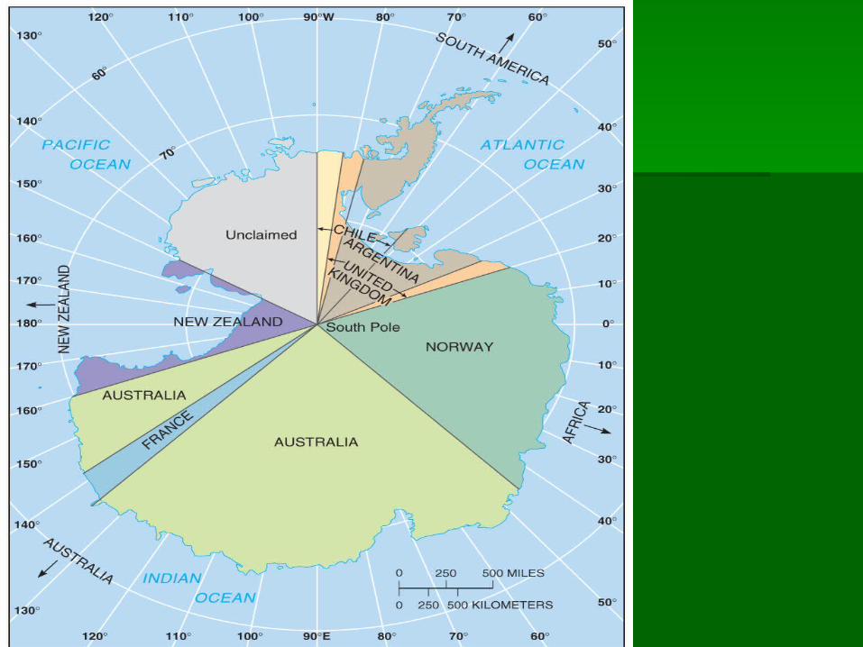
Antarctica is the only large landmass not Antarctica is the only large landmass not part of a state. Several countries claim part of a state. Several countries claim portionsportions
Treaty of Antarctica (’59, ’91) only allows Treaty of Antarctica (’59, ’91) only allows scientific, no military or economic activity.scientific, no military or economic activity.
No one knows the exact number of statesNo one knows the exact number of states
Korea: One state or two?Korea: One state or two?
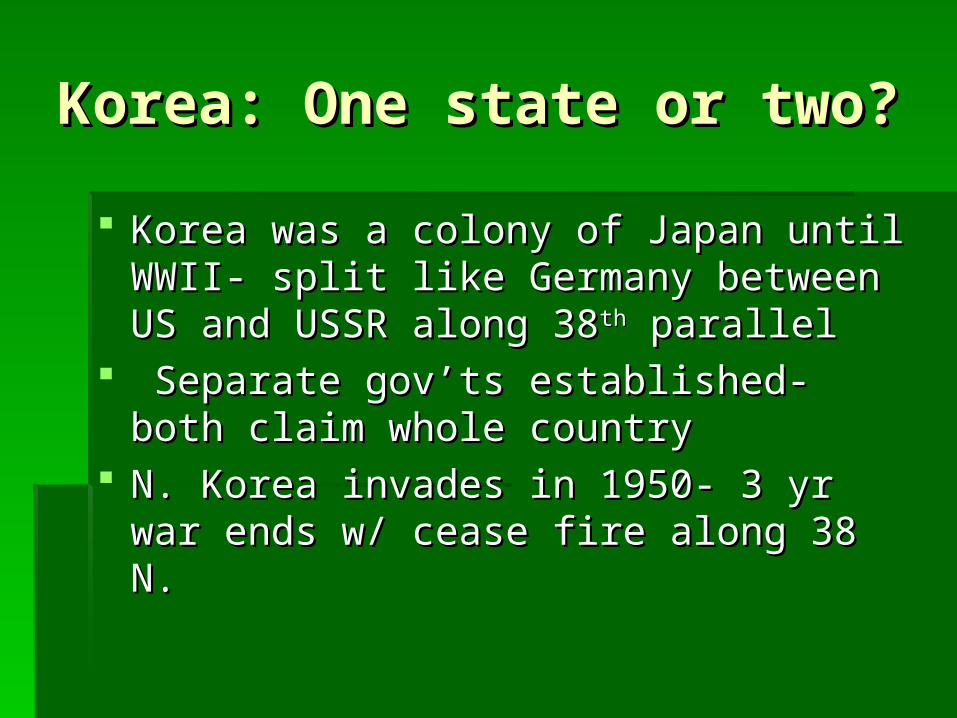
Korea was a colony of Japan until WWII- Korea was a colony of Japan until WWII- split like Germany between US and split like Germany between US and USSR along 38USSR along 38thth parallel parallel
Separate gov’ts established- both claim Separate gov’ts established- both claim whole countrywhole country
N. Korea invades in 1950- 3 yr war ends N. Korea invades in 1950- 3 yr war ends w/ cease fire along 38 N.w/ cease fire along 38 N.
Korea: One state or two?Korea: One state or two?
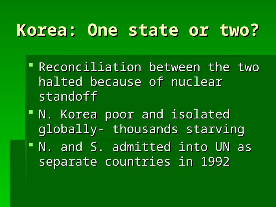
Reconciliation between the two halted Reconciliation between the two halted because of nuclear standoffbecause of nuclear standoff
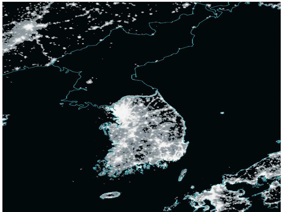
N. Korea poor and isolated globally- N. Korea poor and isolated globally- thousands starvingthousands starving
N. and S. admitted into UN as separate N. and S. admitted into UN as separate countries in 1992countries in 1992
China: one state or two?China: one state or two?
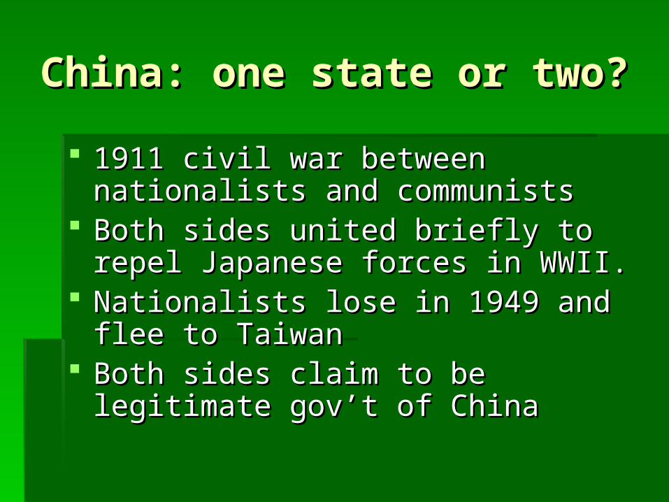
1911 civil war between nationalists and 1911 civil war between nationalists and communistscommunists
Both sides united briefly to repel Both sides united briefly to repel Japanese forces in WWII.Japanese forces in WWII.
Nationalists lose in 1949 and flee to Nationalists lose in 1949 and flee to TaiwanTaiwan
Both sides claim to be legitimate gov’t of Both sides claim to be legitimate gov’t of ChinaChina
China: one state or two?China: one state or two?
In 1971 the US officially recognized the In 1971 the US officially recognized the communist gov’t of China but backed communist gov’t of China but backed Taiwan- communists got UN seatTaiwan- communists got UN seat
In 1999 Taiwan claimed sovereignty, a In 1999 Taiwan claimed sovereignty, a move that almost caused warmove that almost caused war

Western SaharaWestern Sahara
A colony of Spain until 1976A colony of Spain until 1976 Polisario front declared independence, Polisario front declared independence,
recognized by most African statesrecognized by most African states Annexed by MoroccoAnnexed by Morocco UN cease fire in 1991, referendum UN cease fire in 1991, referendum
delayeddelayed Morocco- two cities Spanish territory- Morocco- two cities Spanish territory-
Ceuta and MelillaCeuta and Melilla
Size of statesSize of states
Largest- Russia: 17.1 million miLargest- Russia: 17.1 million mi², 11% ², 11% Earth’s land, 4300 miles E-WEarth’s land, 4300 miles E-W
Followed by China, Canada, USA, Brazil, Followed by China, Canada, USA, Brazil, AustraliaAustralia
Smallest microstate in UN is Monaco, .6 Smallest microstate in UN is Monaco, .6 mi²mi²
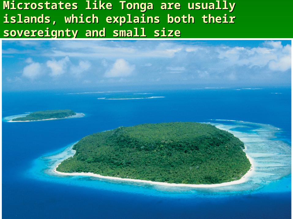
Microstates like Tonga are usually islands, Microstates like Tonga are usually islands, which explains both their sovereignty and which explains both their sovereignty and small sizesmall size
Concept of a StateConcept of a State
Before the 1800s, Earth’s surface was Before the 1800s, Earth’s surface was organized in other ways, like city-states, organized in other ways, like city-states, empires, and tribes.empires, and tribes.
First city-states evolved in Mesopotamia, First city-states evolved in Mesopotamia, which is part of the Fertile Crescentwhich is part of the Fertile Crescent
Crossroads of communication between Crossroads of communication between Europe, Asia, and AfricaEurope, Asia, and Africa

Concept of a StateConcept of a State
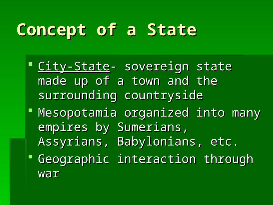
City-StateCity-State- sovereign state made up of a - sovereign state made up of a town and the surrounding countrysidetown and the surrounding countryside
Mesopotamia organized into many Mesopotamia organized into many empires by Sumerians, Assyrians, empires by Sumerians, Assyrians, Babylonians, etc.Babylonians, etc.
Geographic interaction through warGeographic interaction through war
Concept of a StateConcept of a State
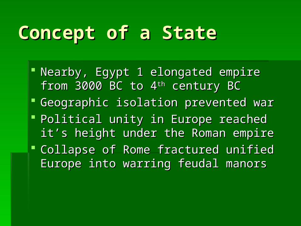
Nearby, Egypt 1 elongated empire from Nearby, Egypt 1 elongated empire from 3000 BC to 43000 BC to 4thth century BC century BC
Geographic isolation prevented warGeographic isolation prevented war Political unity in Europe reached it’s Political unity in Europe reached it’s
height under the Roman empireheight under the Roman empire Collapse of Rome fractured unified Collapse of Rome fractured unified
Europe into warring feudal manorsEurope into warring feudal manors
Concept of a StateConcept of a State
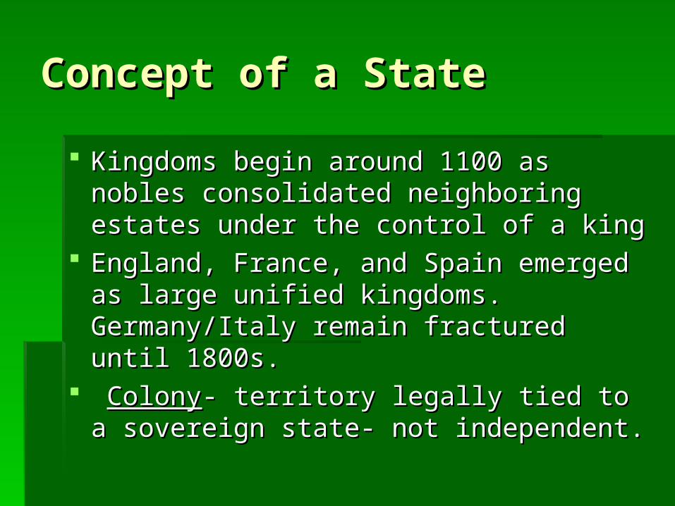
Kingdoms begin around 1100 as nobles Kingdoms begin around 1100 as nobles consolidated neighboring estates under consolidated neighboring estates under the control of a kingthe control of a king
England, France, and Spain emerged as England, France, and Spain emerged as large unified kingdoms. Germany/Italy large unified kingdoms. Germany/Italy remain fractured until 1800s.remain fractured until 1800s.
ColonyColony- territory legally tied to a - territory legally tied to a sovereign state- not independent.sovereign state- not independent.

ColonialismColonialism ColonialismColonialism- a country establishes a settlement - a country establishes a settlement
and imposes its political, economic, and cultural and imposes its political, economic, and cultural principles.principles.
Motives:Motives: Gold- colonies provided resources for Industrial Gold- colonies provided resources for Industrial
revolution cheaplyrevolution cheaply Glory- Europeans considered number of Glory- Europeans considered number of
colonies as a mark of power- nationalismcolonies as a mark of power- nationalism God- Missionaries promoted ChristianityGod- Missionaries promoted Christianity
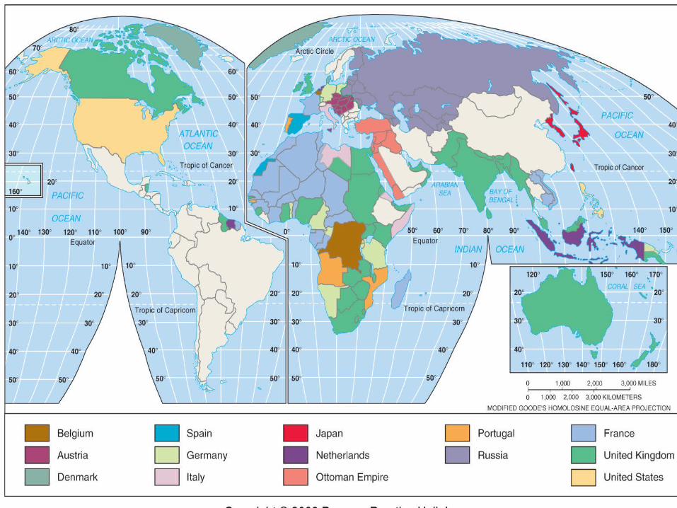
Colonialism / ImperialismColonialism / Imperialism Began in the 1400sBegan in the 1400s After N/S America became independent, After N/S America became independent,
Europeans colonized Africa/AsiaEuropeans colonized Africa/Asia ImperialismImperialism is control of territory already is control of territory already
occupied/organized by an indigenous society, occupied/organized by an indigenous society, while while colonialismcolonialism is control of is control of uninhabited/sparsely inhabited territoryuninhabited/sparsely inhabited territory
African/Asian colonies independent after WWIIAfrican/Asian colonies independent after WWII
ColonialismColonialism
Most remaining colonies are islands in Most remaining colonies are islands in Pacific or CaribbeanPacific or Caribbean
Puerto Rico is most populous colony Puerto Rico is most populous colony today at 4 milliontoday at 4 million
Pitcarin island has smallest population at Pitcarin island has smallest population at 47. Mutiny on the 47. Mutiny on the Bounty.Bounty.
Shapes of StatesShapes of States
BoundaryBoundary- invisible line marking the - invisible line marking the extent of a state’s territory.extent of a state’s territory.
Boundaries result from natural physical Boundaries result from natural physical features and cultural features (language, features and cultural features (language, religion)religion)
Boundary locations create conflictBoundary locations create conflict
5 Basic shapes of States5 Basic shapes of States Compact statesCompact states (efficient)- distance from the (efficient)- distance from the
center to any boundary does not vary center to any boundary does not vary significantly. Ideal is a circle. Ex: Rwanda, significantly. Ideal is a circle. Ex: Rwanda, Burundi, Kenya, UgandaBurundi, Kenya, Uganda
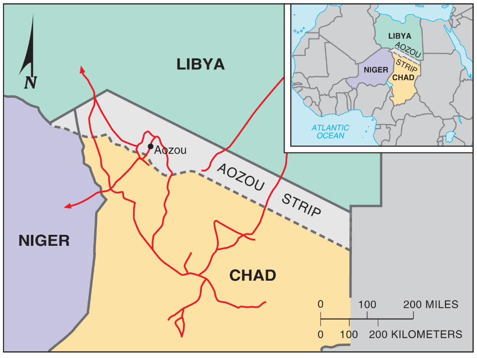
Prorupted statesProrupted states (access or disruption)- (access or disruption)- otherwise compact with a large projecting otherwise compact with a large projecting extension. Created for 1. accessing a extension. Created for 1. accessing a resource or 2. seperating 2 states that would resource or 2. seperating 2 states that would otherwise share a boundary. Ex: Namibia, otherwise share a boundary. Ex: Namibia, AfghanistanAfghanistan
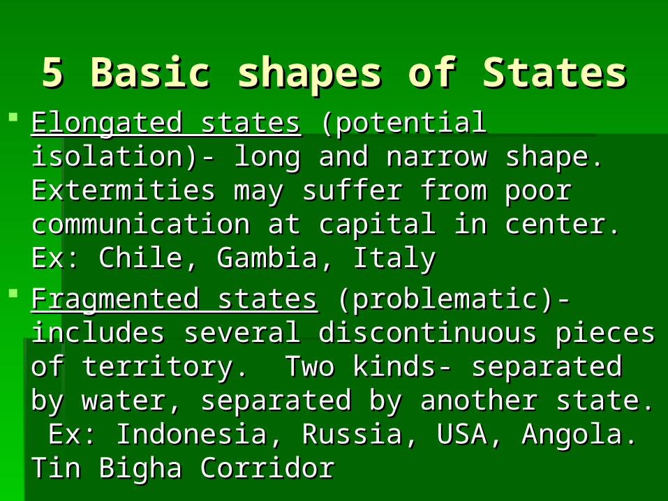
5 Basic shapes of States5 Basic shapes of States Elongated statesElongated states (potential isolation)- long and (potential isolation)- long and
narrow shape. Extermities may suffer from narrow shape. Extermities may suffer from poor communication at capital in center. Ex: poor communication at capital in center. Ex: Chile, Gambia, ItalyChile, Gambia, Italy
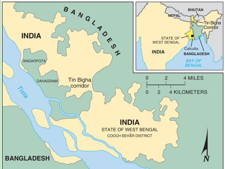
Fragmented statesFragmented states (problematic)- includes (problematic)- includes several discontinuous pieces of territory. Two several discontinuous pieces of territory. Two kinds- separated by water, separated by kinds- separated by water, separated by another state. Ex: Indonesia, Russia, USA, another state. Ex: Indonesia, Russia, USA, Angola. Tin Bigha CorridorAngola. Tin Bigha Corridor
5 Basic shapes of States5 Basic shapes of States
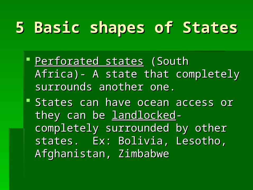
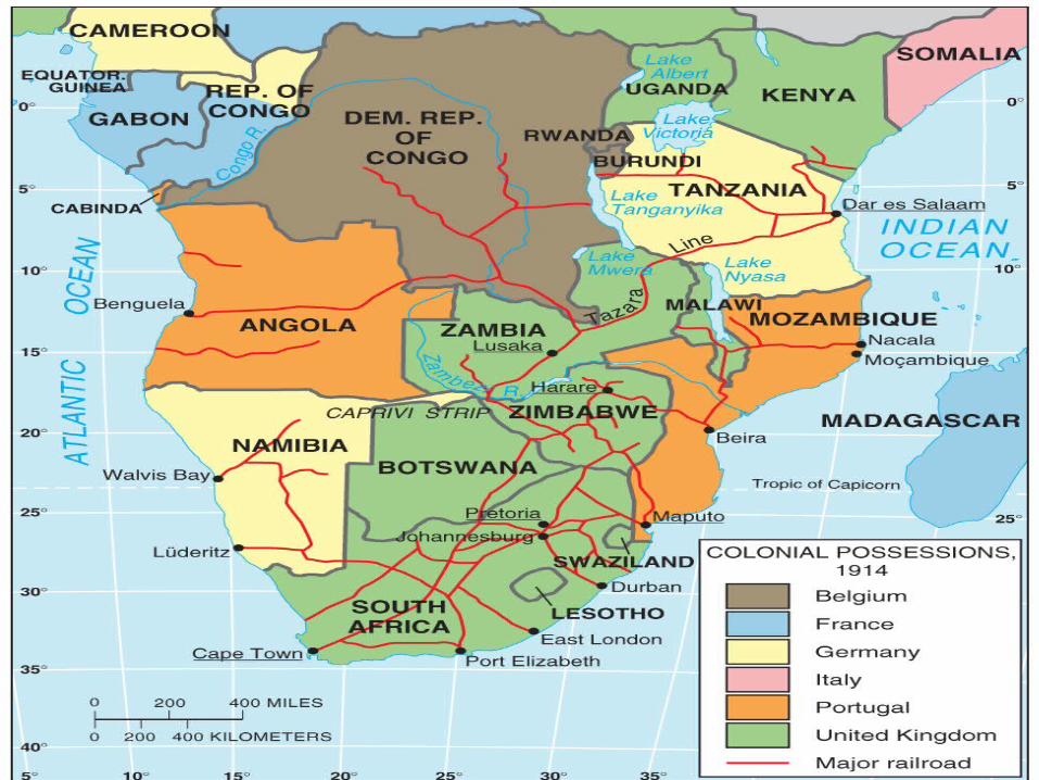
Perforated statesPerforated states (South Africa)- A state (South Africa)- A state that completely surrounds another one.that completely surrounds another one.
States can have ocean access or they States can have ocean access or they can be can be landlockedlandlocked- completely - completely surrounded by other states. Ex: Bolivia, surrounded by other states. Ex: Bolivia, Lesotho, Afghanistan, ZimbabweLesotho, Afghanistan, Zimbabwe

Types of BoundariesTypes of Boundaries Landlocked states are economically Landlocked states are economically
dependent on good relations with their dependent on good relations with their neighbors. Zimbabwe is a good example.neighbors. Zimbabwe is a good example.
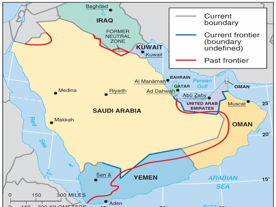
Historically states were separated by Historically states were separated by frontiersfrontiers- - a zone where no state exercises complete a zone where no state exercises complete political control.political control.
Frontiers are buffer zones, but borders are Frontiers are buffer zones, but borders are infinitely thin and bring states into direct infinitely thin and bring states into direct contactcontact

Types of boundariesTypes of boundaries Only frontiers left include Arabian peninsula Only frontiers left include Arabian peninsula
and Antarcticaand Antarctica 2 types of boundaries: physical and cultural2 types of boundaries: physical and cultural Physical boundaries include mountains, Physical boundaries include mountains,
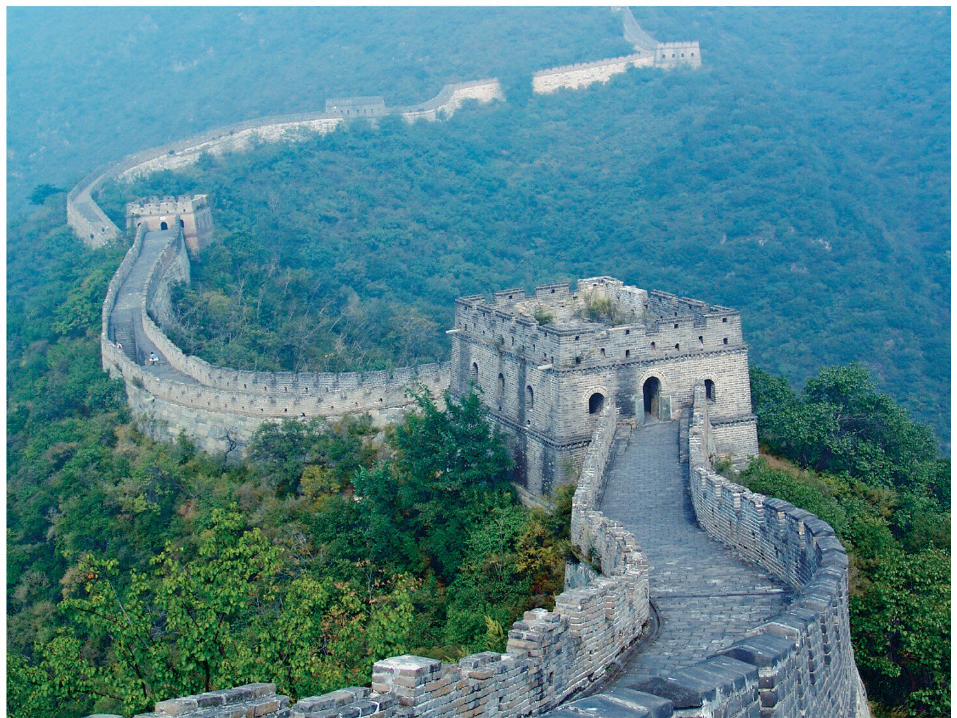
deserts, and waterdeserts, and water Mountains are good boundaries because they Mountains are good boundaries because they
are hard to cross, communication between are hard to cross, communication between sides is limited, they are sparsely inhabited, sides is limited, they are sparsely inhabited, and they’re permanent.and they’re permanent.

Types of boundariesTypes of boundaries
Chile and Argentina almost went to war Chile and Argentina almost went to war over their mountain boundaryover their mountain boundary
Deserts- good because they’re sparsely Deserts- good because they’re sparsely inhabited and hard to cross. Common in inhabited and hard to cross. Common in Africa and AsiaAfrica and Asia
Water- Oceans, rivers, lakes. Good Water- Oceans, rivers, lakes. Good because they’re relatively unchanging because they’re relatively unchanging and highly visible. Common in E. Africaand highly visible. Common in E. Africa
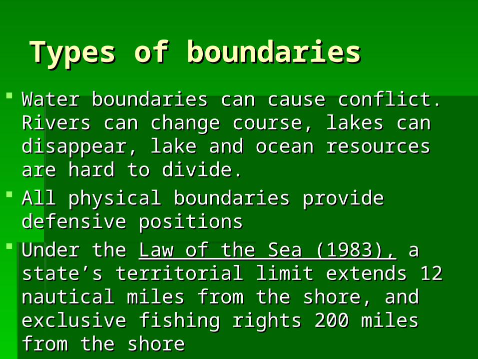
Types of boundariesTypes of boundaries Water boundaries can cause conflict. Rivers Water boundaries can cause conflict. Rivers
can change course, lakes can disappear, lake can change course, lakes can disappear, lake and ocean resources are hard to divide.and ocean resources are hard to divide.
All physical boundaries provide defensive All physical boundaries provide defensive positionspositions
Under the Under the Law of the Sea (1983),Law of the Sea (1983), a state’s a state’s territorial limit extends 12 nautical miles from territorial limit extends 12 nautical miles from the shore, and exclusive fishing rights 200 the shore, and exclusive fishing rights 200 miles from the shoremiles from the shore
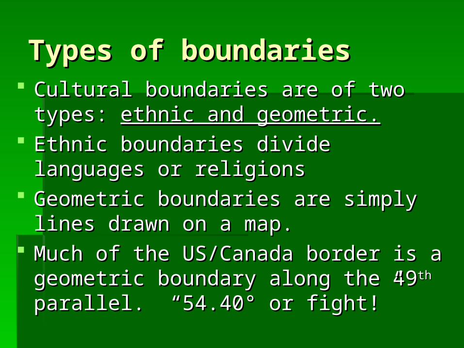
Types of boundariesTypes of boundaries Cultural boundaries are of two types: Cultural boundaries are of two types: ethnic ethnic
and geometric.and geometric. Ethnic boundaries divide languages or Ethnic boundaries divide languages or
religionsreligions Geometric boundaries are simply lines drawn Geometric boundaries are simply lines drawn
on a map.on a map. Much of the US/Canada border is a Much of the US/Canada border is a
geometric boundary along the 49geometric boundary along the 49thth parallel. parallel. “54.40“54.40°° or fight!” or fight!”
Types of boundariesTypes of boundaries Religious boundariesReligious boundaries often coincide with national often coincide with national
ones, but rarely has religion been the factor for ones, but rarely has religion been the factor for deciding a boundarydeciding a boundary
Examples include India/Pakistan, and N. IrelandExamples include India/Pakistan, and N. Ireland Language boundariesLanguage boundaries are important in Europe. are important in Europe.
England, France, Portugal, Spain, Germany, and England, France, Portugal, Spain, Germany, and Italy all developed around language. Borders Italy all developed around language. Borders were redrawn according to language after WW1. were redrawn according to language after WW1. Europe continues to crumble along language Europe continues to crumble along language boundaries.boundaries.
Nation-StatesNation-States
A A nation-statenation-state exists when the exists when the boundaries of a state match the boundaries of a state match the boundaries of an ethnic group. Problems boundaries of an ethnic group. Problems exist when the boundaries do not match.exist when the boundaries do not match.
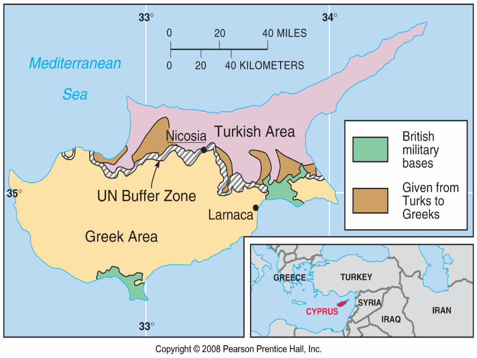
The UN buffer zone on Cyprus is a The UN buffer zone on Cyprus is a cultural boundary. Cyprus has not yet cultural boundary. Cyprus has not yet reunified.reunified.
Boundaries inside statesBoundaries inside states Internal boundaries are sometimes drawn to Internal boundaries are sometimes drawn to
separate different nationalities/ethnicities. separate different nationalities/ethnicities. Sometimes they are drawn to provide an Sometimes they are drawn to provide an advantage to a political party.advantage to a political party.
Unitary states-Unitary states- place most power in the hands place most power in the hands of central government.of central government.
Federal states-Federal states- allocates strong power to units allocates strong power to units of local government within the state.of local government within the state.

Boundaries inside statesBoundaries inside states
Unitary system works best for ethnically Unitary system works best for ethnically homogenous, small states with a strong homogenous, small states with a strong sense of national unity. Common in sense of national unity. Common in EuropeEurope
Multinational states have adopted unitary Multinational states have adopted unitary system to impose the values of one system to impose the values of one nationality on the others. Ex: Rwanda, E. nationality on the others. Ex: Rwanda, E. European countries under communismEuropean countries under communism
Boundaries inside statesBoundaries inside states Federal system works best in very large, Federal system works best in very large,
multiethnic states. Internal boundaries can be multiethnic states. Internal boundaries can be redrawn to correspond to ethnicityredrawn to correspond to ethnicity
Ex: Russia, Brazil, USA, Canada, IndiaEx: Russia, Brazil, USA, Canada, India Federal system increasingly dominates as Federal system increasingly dominates as
ethnic groups demand more autonomyethnic groups demand more autonomy Exceptions- China is unitary to impose values Exceptions- China is unitary to impose values
of communist party, Belgium is federal to of communist party, Belgium is federal to accommodate two cultural groups.accommodate two cultural groups.
Electoral GerrymanderingElectoral Gerrymandering
After the census legislative districts are After the census legislative districts are redrawn to ensure each district has the redrawn to ensure each district has the same population. Migration results in same population. Migration results in some districts gaining people while some some districts gaining people while some lose population.lose population.
In Europe independent commissions try In Europe independent commissions try to create compact, homogenous districts to create compact, homogenous districts w/o regard to voting preferences or w/o regard to voting preferences or incumbents. incumbents.

Electoral GerrymanderingElectoral Gerrymandering In the US, the job is left to the state In the US, the job is left to the state
legislature.legislature. The party in power tries to redraw lines to The party in power tries to redraw lines to
improve chances of that party winning more improve chances of that party winning more seatsseats
GerrymanderingGerrymandering is the process of redrawing is the process of redrawing lines to benefit the party in power. Illegal. lines to benefit the party in power. Illegal. Named after MA gov. Elbridge GerryNamed after MA gov. Elbridge Gerry

The The original original Gerry-Gerry-mandermander
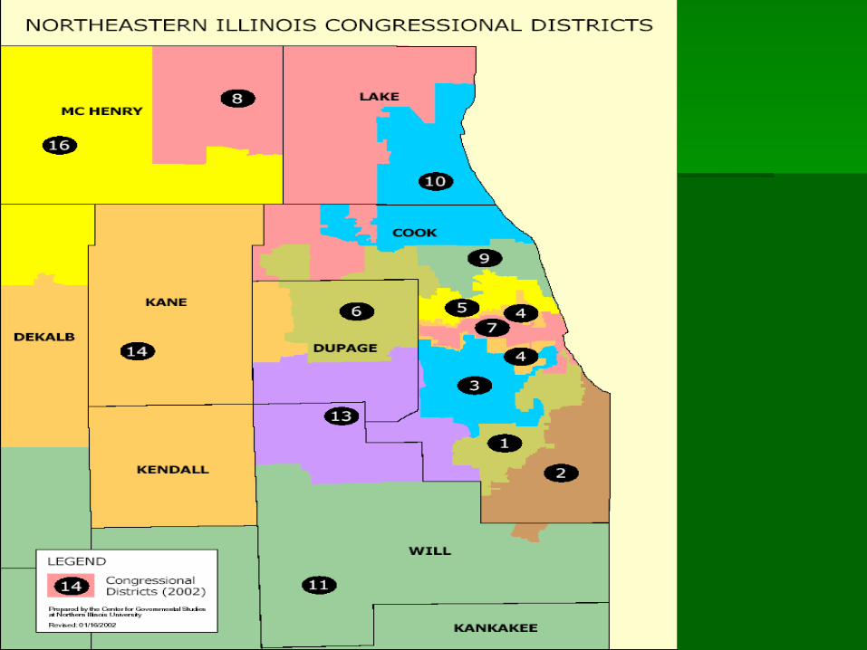
Electoral GerrymanderingElectoral Gerrymandering Article Four, Section Three of the 1970 Illinois Article Four, Section Three of the 1970 Illinois
Constitution, "Legislative Districts shall be compact Constitution, "Legislative Districts shall be compact and contiguous and substantially equal in population."and contiguous and substantially equal in population."
a district court found that the compactness a district court found that the compactness requirement of requirement of Thornburg v. Gingles the ear muff Thornburg v. Gingles the ear muff shape was necessary in order to provide Hispanics shape was necessary in order to provide Hispanics with the representation that their population warranted with the representation that their population warranted without causing retrogression in African American without causing retrogression in African American representation. It held that the Fourth District survived representation. It held that the Fourth District survived strict scrutiny.strict scrutiny.
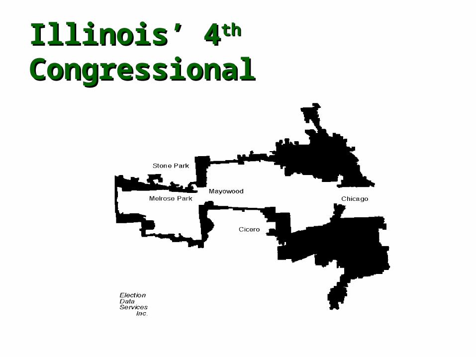
Illinois’ 4Illinois’ 4thth Congressional Congressional

““Crab” Crab” DistrictDistrict
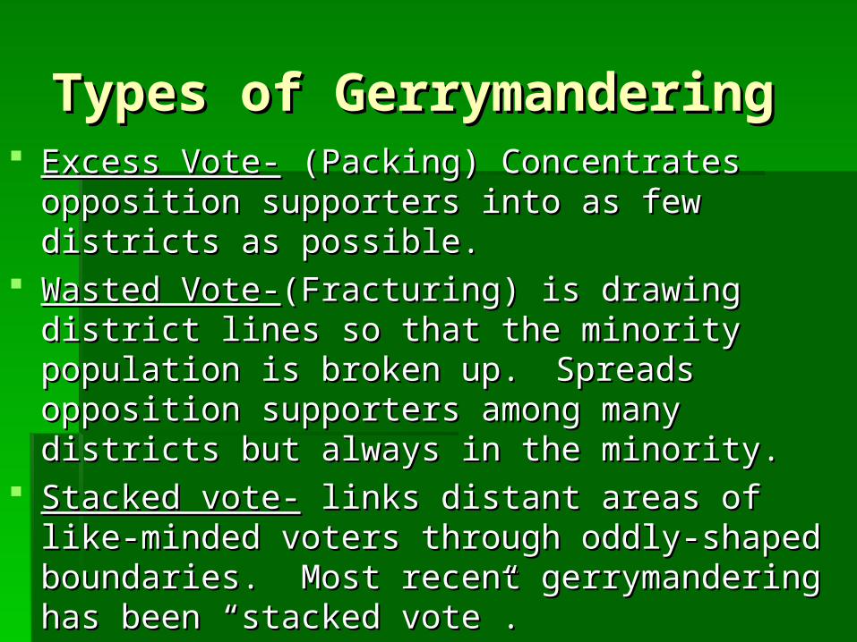
Types of GerrymanderingTypes of Gerrymandering Excess Vote-Excess Vote- (Packing) Concentrates opposition (Packing) Concentrates opposition
supporters into as few districts as possible.supporters into as few districts as possible. Wasted Vote-Wasted Vote-(Fracturing) is drawing district lines so (Fracturing) is drawing district lines so
that the minority population is broken up.that the minority population is broken up. Spreads Spreads opposition supporters among many districts but opposition supporters among many districts but always in the minority.always in the minority.
Stacked vote-Stacked vote- links distant areas of like-minded voters links distant areas of like-minded voters through oddly-shaped boundaries. Most recent through oddly-shaped boundaries. Most recent gerrymandering has been “stacked vote”. gerrymandering has been “stacked vote”.

Congressional District 29
1992 1996
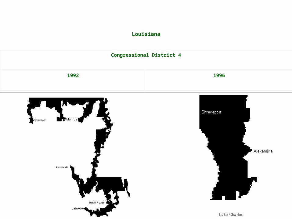
Louisiana
Congressional District 4
1992 1996
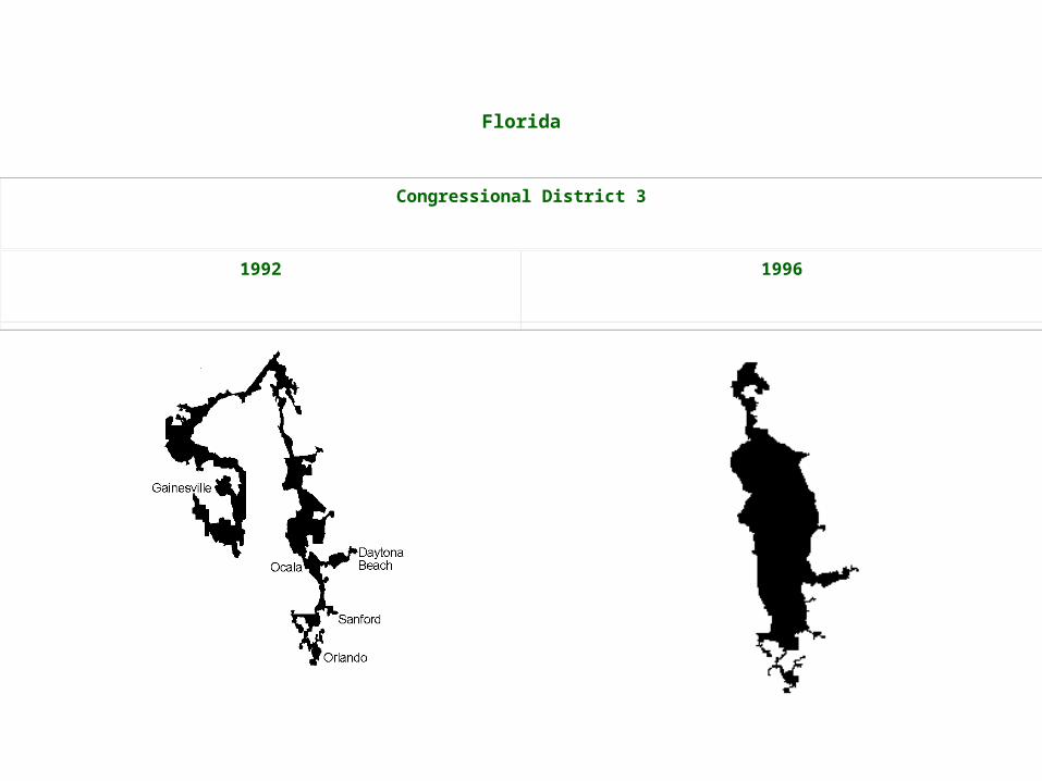
Florida
Congressional District 3
1992 1996

North Carolina
Congressional District 12
1992 1998

GerrymanderingGerrymandering
Gerrymandering ruled illegal in 1985 but Gerrymandering ruled illegal in 1985 but not required to dismantle existing oddly-not required to dismantle existing oddly-shaped districtsshaped districts
Because of Gerrymandering, only about Because of Gerrymandering, only about 1/101/10thth of Congressional seats are of Congressional seats are competitive, making a shift of more than competitive, making a shift of more than a few seats unlikely except in unusual a few seats unlikely except in unusual circumstances circumstances
IMAGINE a state with five congressional seats and only 25 voters in each. That makes 125 voters. Sixty-five are Republicans, 60 are Democrats. You might think a fair election in such a state would produce, say, three Republican representatives and two Democrats.
Now imagine you can draw the district boundaries any way you like. The only condition is that you must keep 25 voters in each one. If you were a Republican, you could carve up the state so there were 13 Republicans and 12 Democrats per district. Your party would win every seat narrowly. Republicans, five-nil.
Now imagine you were a Democrat. If you put 15 Republicans in one district, you could then divide the rest of the state so that each district had 13 Democrats and 12 Republicans. Democrats, four-one. Same state, same number of districts, same party affiliation: completely different results.