Embed Size (px)
Citation preview

1
Steps in a GIS Project
– Identify you objectives
– Create a project database
– Analyze the data
– Present the result
Planning a GIS Project
Identify Your Objectives
• Problem statement
– Greenvalley is growing and needs a new wastewater
treatment and recycling plant…
• Identify the spatial components in the problem
statement
– Siting or routing
– Location-allocation
– Spatial modeling (prediction)
– System control and data acquisition (SCADA)
– AM/FM
2
Regional Equity Atlas Project (http://www.clfuture.org/projects/atlas/index_html)
• How fair is our regional development approach? How can we make it more fair?
– Can workers in every community afford to live near their jobs?
– Which communities have ample access to parks and natural areas?
– What neighborhoods in our region lack access to grocery stores?
– Which cities have sufficient resources to provide public services to residents?
What information do you need?
• Decision criteria
• Scenarios
• Assumptions/estimates
• Intended audience/users

3
Create a Project Database
• Designing
• Automating
• Managing
Hooray!

4
GIS Analysis
• Visualization
• Querying
– Attribute querying
– Location (spatial) querying
• Distance (Proximity)
• Overlay
• Modeling
GIS Tools (ArcGIS)

5
GIS Tools (ArcGIS)
GIS Tools (Others)
• Landscape pattern analysis - FRAGSTATS
• Network analysis
– ArcGIS Network Analyst Extension (http://www.esri.com/software/arcgis/extensions/networkanalyst/)
• Spatial statistical modeling
– Spatial Statistics Toolbox for Matlab (http://www.spatial-statistics.com/software_index.htm)
– S-Plus (http://lib.stat.cmu.edu/S/)
– R (http://sal.agecon.uiuc.edu/csiss/Rgeo/)
– Geoda (https://www.geoda.uiuc.edu/)
• Agent-based modeling
– ArcGIS Agent Analyst Extension
– Netlogo (http://ccl.northwestern.edu/netlogo/)

6
GIS Tools (Others)
• Optimization (?)
– Multi-objective decision-making (IDRISI – MOLA)
• Data mining (?)
• Geovisualization (?)
• Coupling with other models (?)
Where to get help? – ArcGIS Online Help
(I:\Students\Data\GIS\ArcGIS Documentation\ArcGIS9.1_documentation\ESRI_Library)
– ArcScripts (http://arcscripts.esri.com/)
– ESRI Developer Network (http://edn.esri.com/)
Software Installation
• Send requests to Geography Lab
Manager, David Banis ([email protected])
• Provide a copy of or a link to the software
• Indicate which computers to have the
software

7
ArcToolBox: Analysis
ArcToolBox
ArctoolBox is available from both ArcCatalog and ArcMap.
8
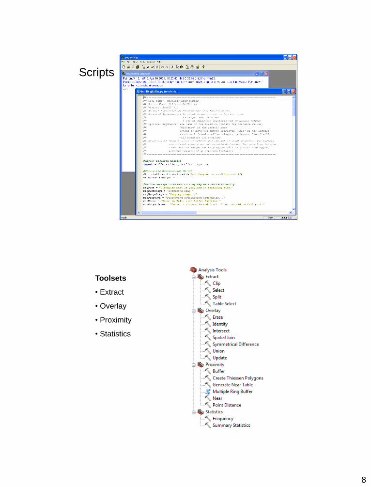
Scripts
Toolsets
• Extract
• Overlay
• Proximity
• Statistics

9
Extract - clip
• Clip features must
have polygon
geometry.
• When using ArcMap
layers as input, only
the currently selected
features are used in
the CLIP operation.
Extract - split
• Split features must be
polygons.
• The Split Field
datatype must be
character.

10
Extract - select
Extract - table select

11
Overlay Procedures
(for all but spatial join tool)
• Determine the spatial reference for processing. All the input feature classes are projected (on the fly) into this spatial reference.
• Crack and cluster the features.
• Discover geometric relationships (overlap) between the input features and the overlap features.
• Assign attributes based on the type of overlay.
• Remove features based on the combinations of attributes and overlay types.
Overlay - erase
• Erase features must
be polygons.

12
Overlay - identity
• Identity features must
be polygons.
Overlay - update
• Update features
must be polygons
• The Input Features
and Update
Features field
names must match

13
Overlay - union
• Input features
must be polygons
Overlay - intersect

14
Overlay – symmetrical difference
• Input and update
features must be
polygons
Overlay – Spatial Join

15
Proximity - buffer
Proximity – multiple ring buffer

16
Proximity – create Thiessen polygons
Proximity – near
- generate near table

17
Proximity – point distance
• Both input and near
features (layers) must
have point geometry.
Statistics – frequency

18
Statistics – summary statistics