Embed Size (px)
Citation preview
Piloting and Documentation ofInnovative Employment of GPS units in MICS4
Surveys in ESA Region Countries
Mikel MaronGroundTruth Initiative
OpenStreetMap
Let's figure outthe cool stuffwe can do with
GPSin the survey
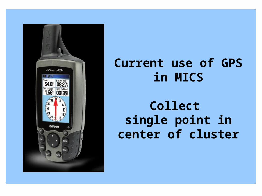
Current use of GPS in MICS
Collect single point in
center of cluster
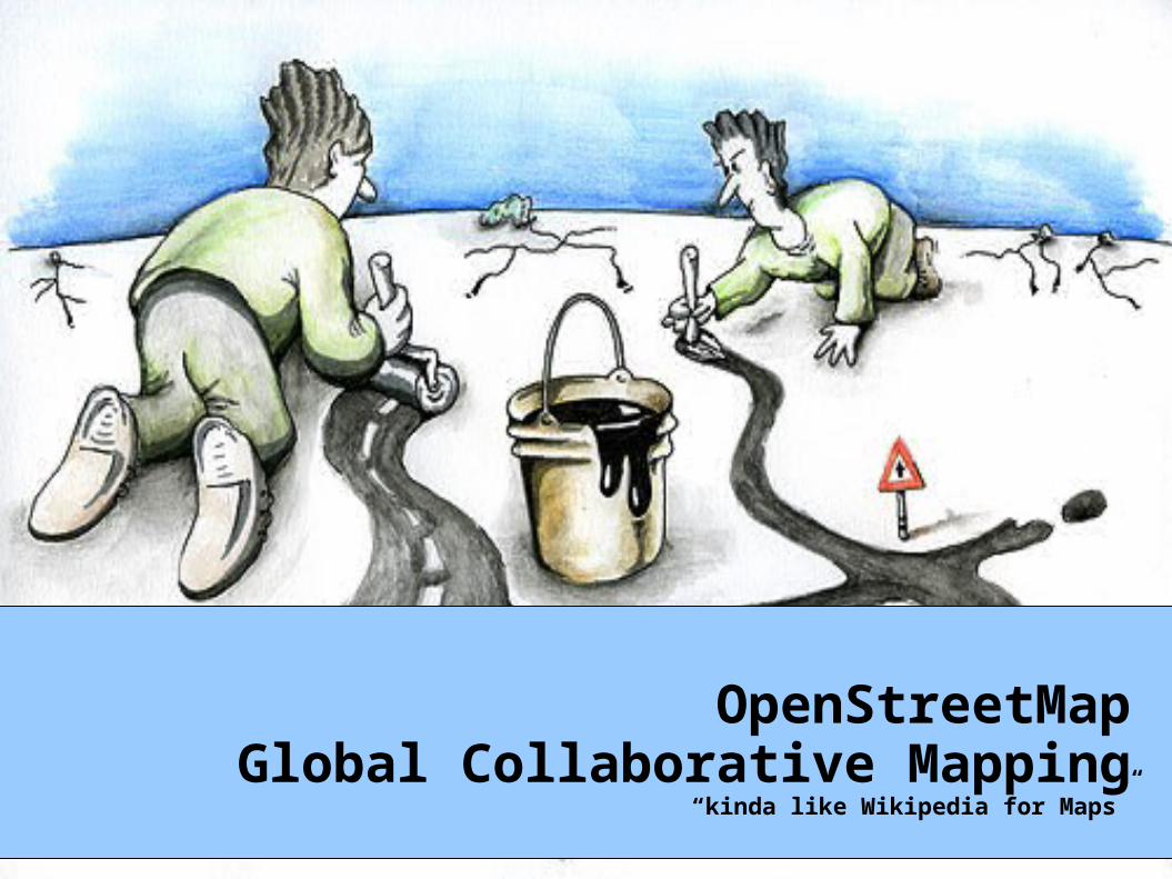
OpenStreetMapGlobal Collaborative Mapping
“kinda like Wikipedia for Maps”

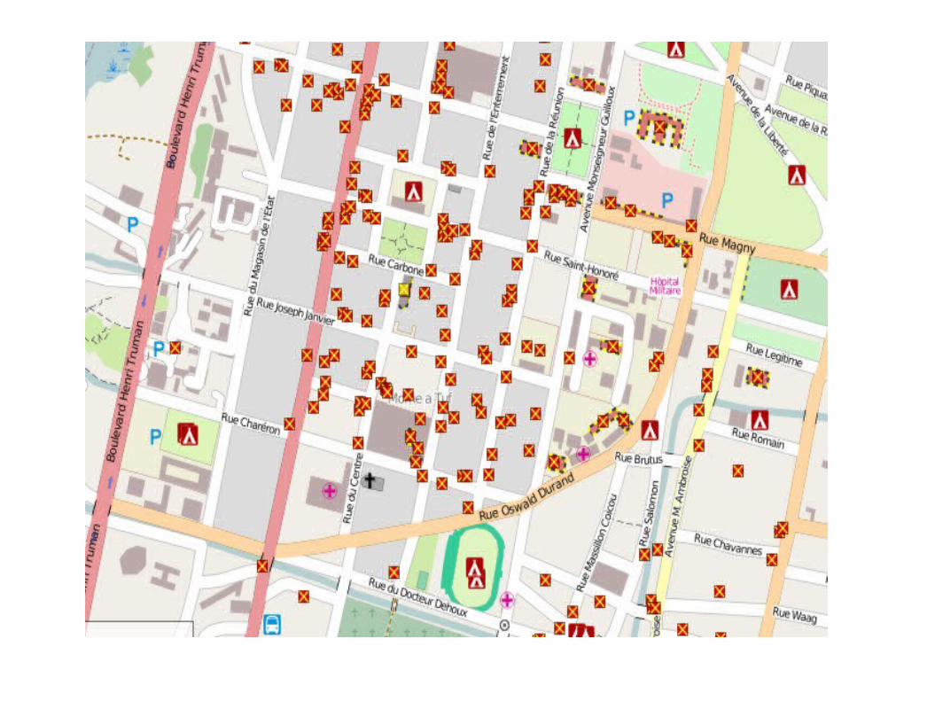
Haiti
http://news.bbc.co.uk/2/hi/uk_news/magazine/8517057.stm
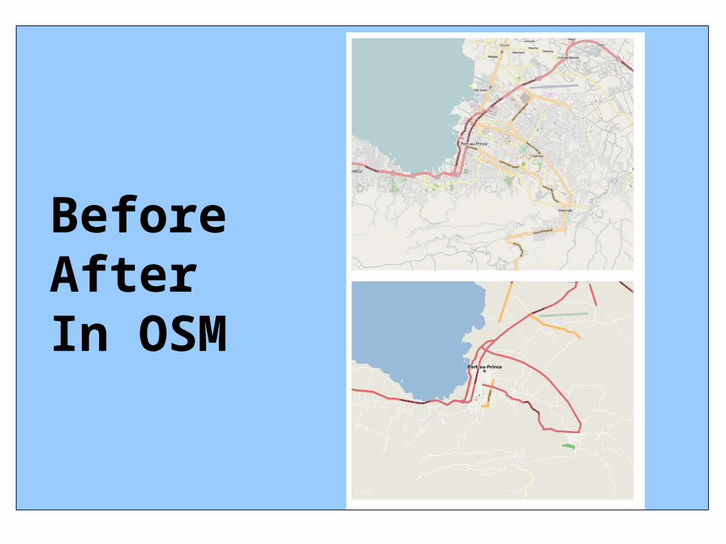
BeforeAfterIn OSM
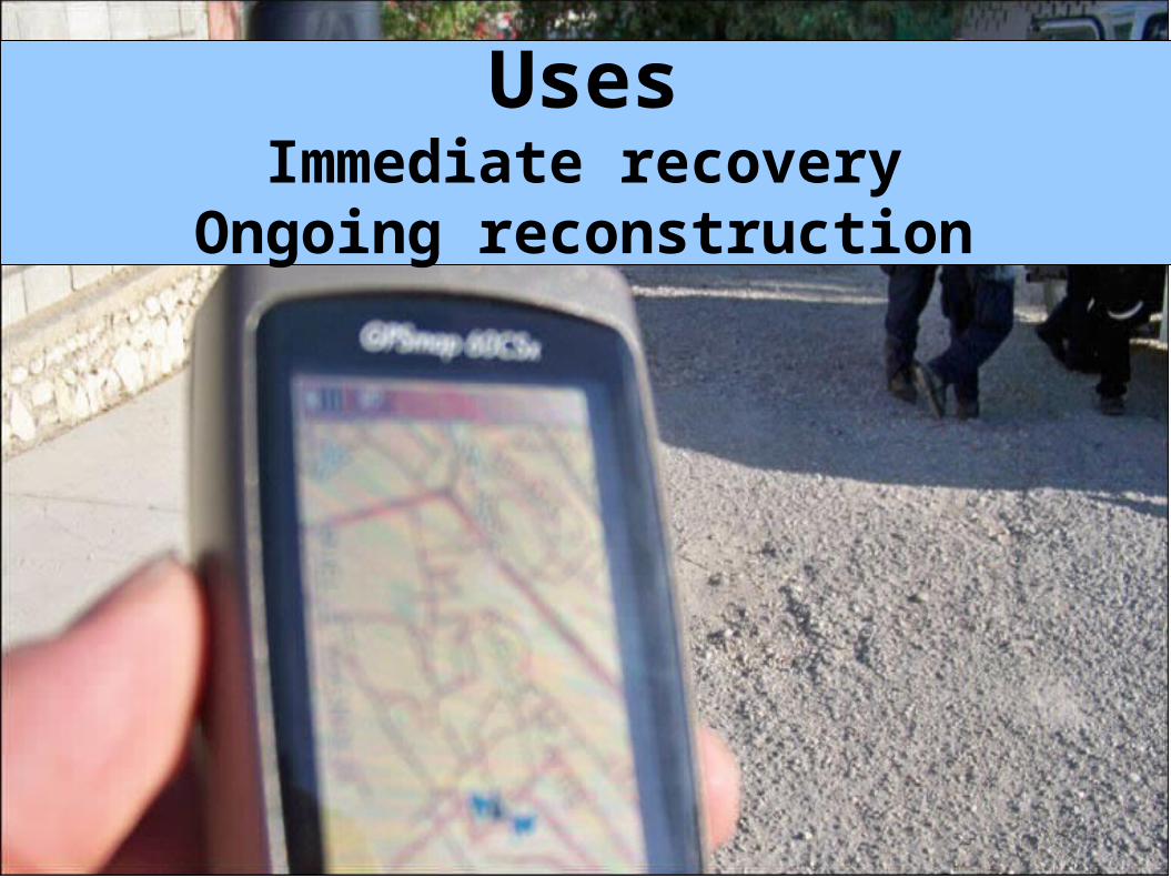
UsesImmediate recovery
Ongoing reconstruction
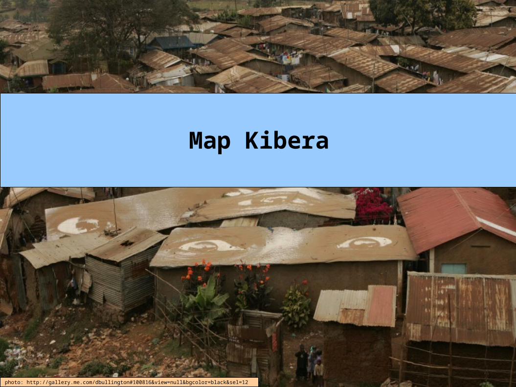
Map Kibera
photo: http://gallery.me.com/dbullington#100816&view=null&bgcolor=black&sel=12
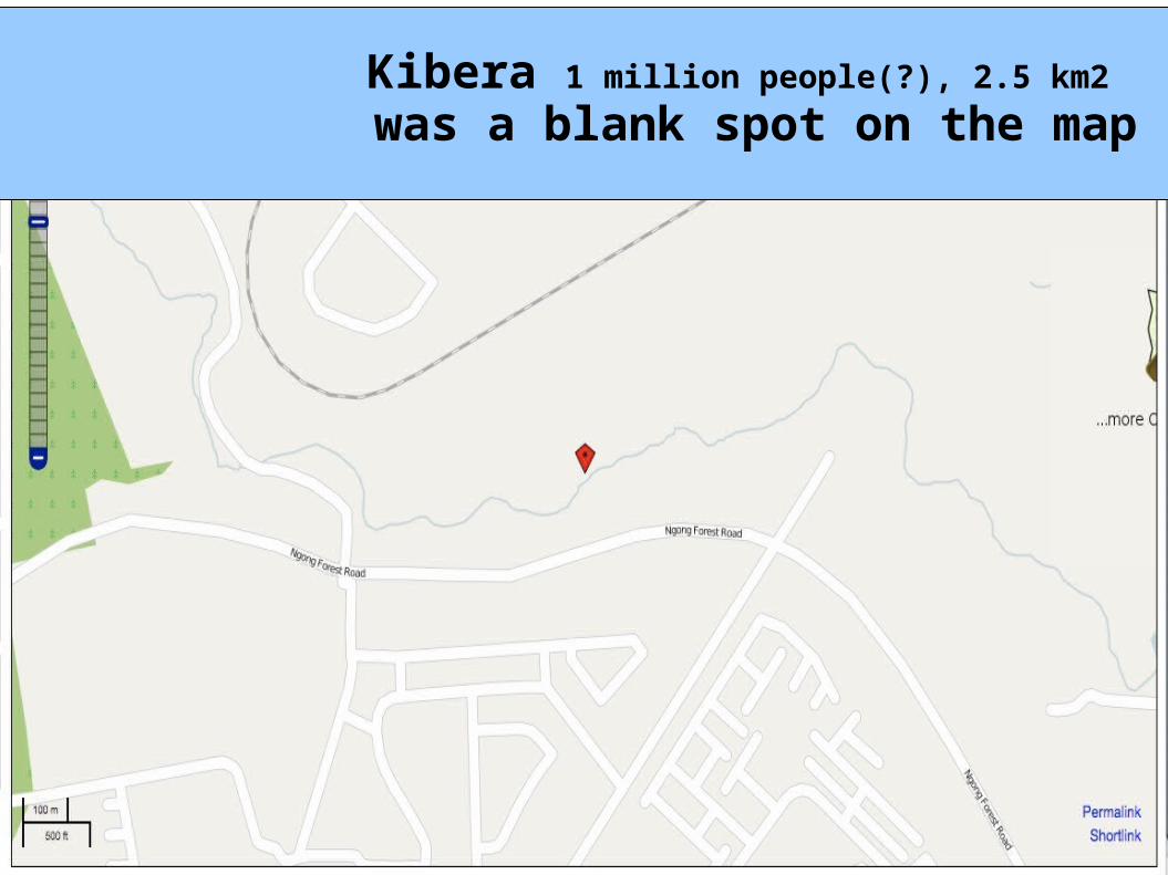
Kibera 1 million people(?), 2.5 km2 was a blank spot on the map
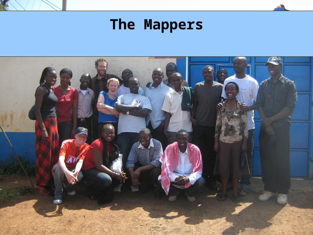
* The MappersThe Mappers
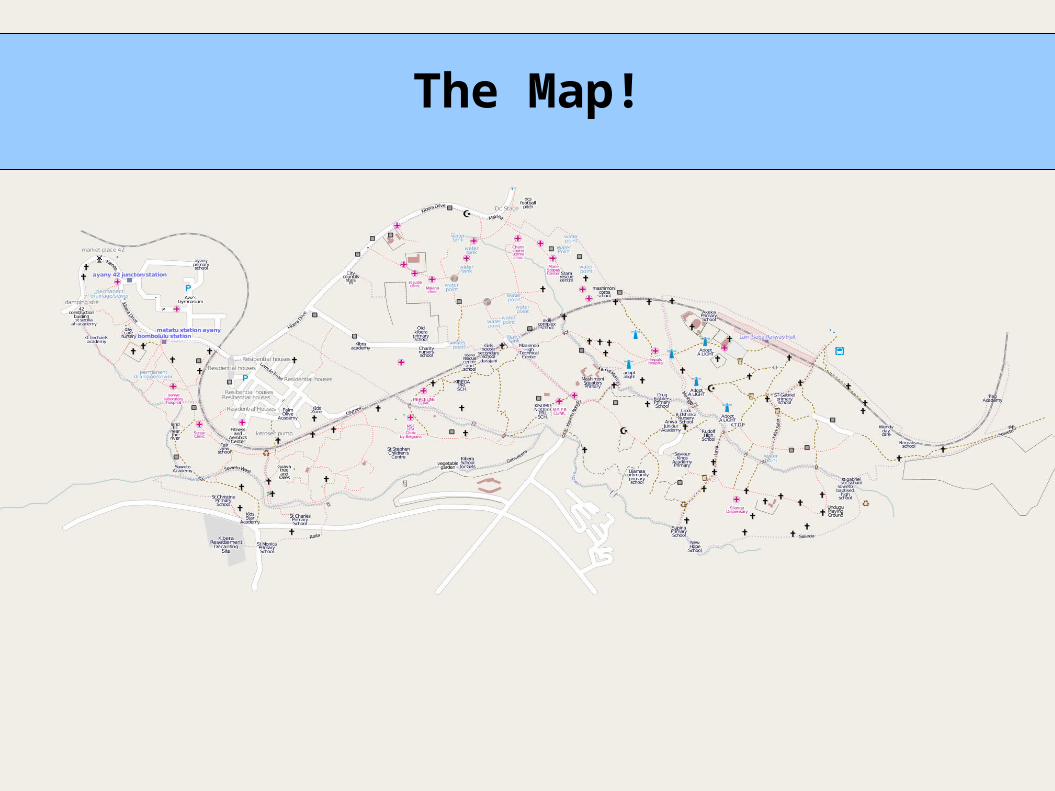
The Map!
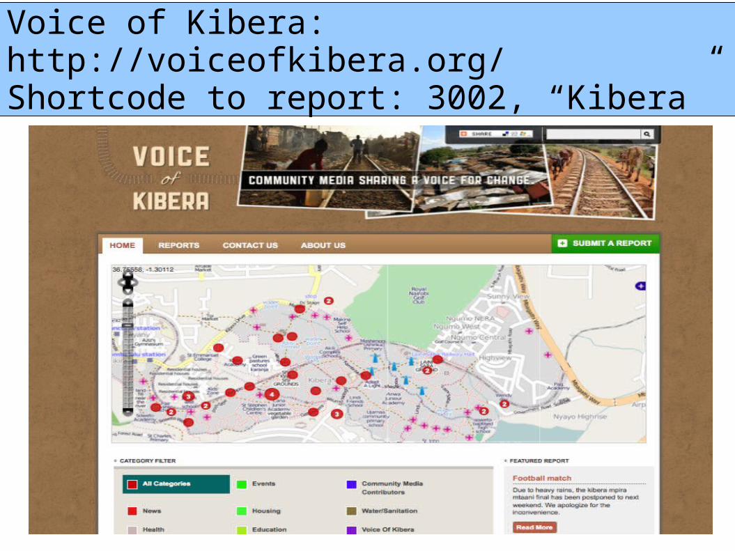
Voice of Kibera:http://voiceofkibera.org/Shortcode to report: 3002, “Kibera”
MICS4Swaziland

PreperationConversionGarmin GPS Maps
Shapefiles
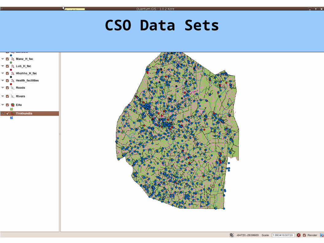
CSO Data Sets
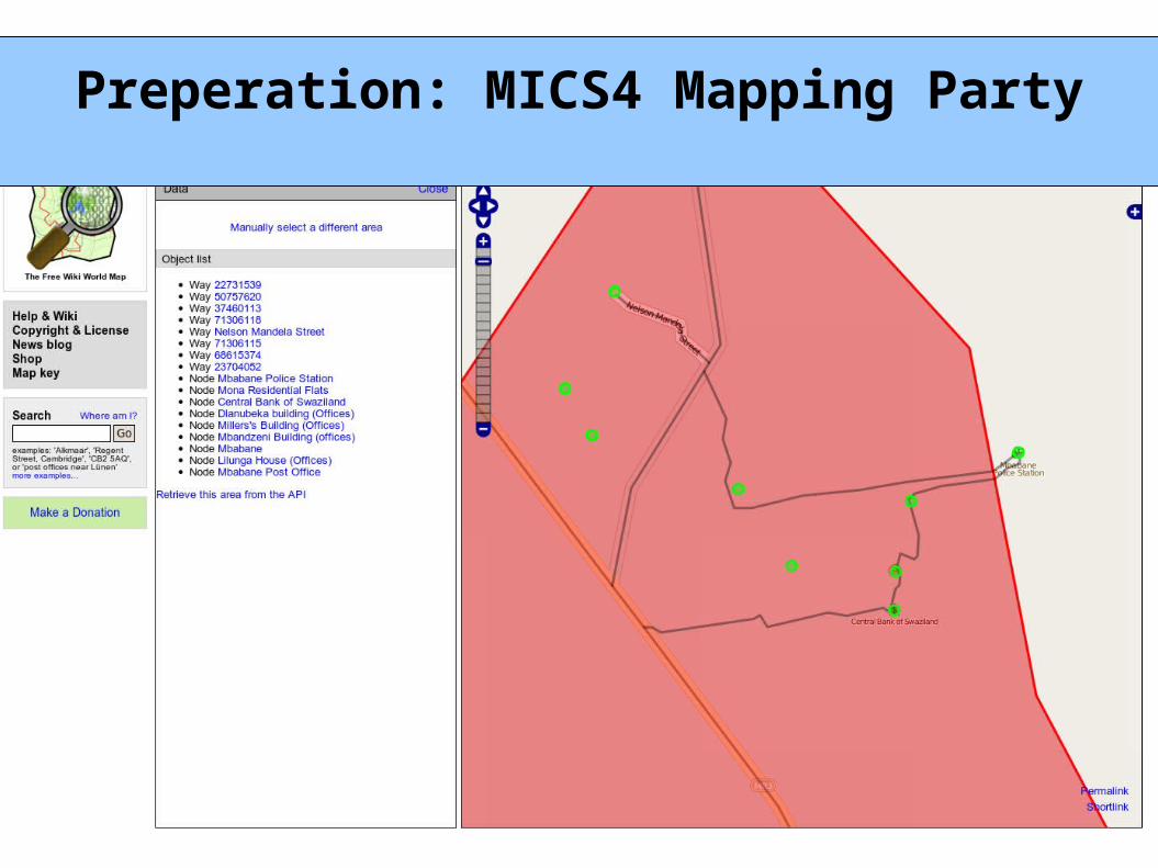
Preperation: MICS4 Mapping Party
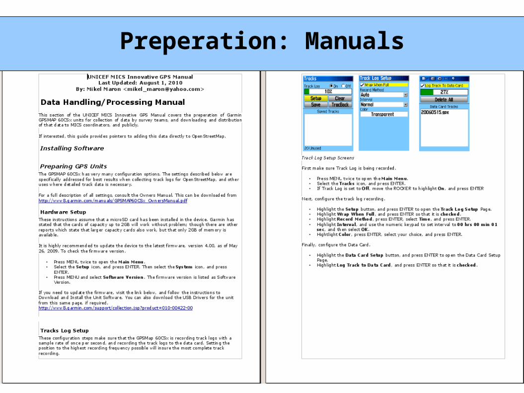
Preperation: Manuals
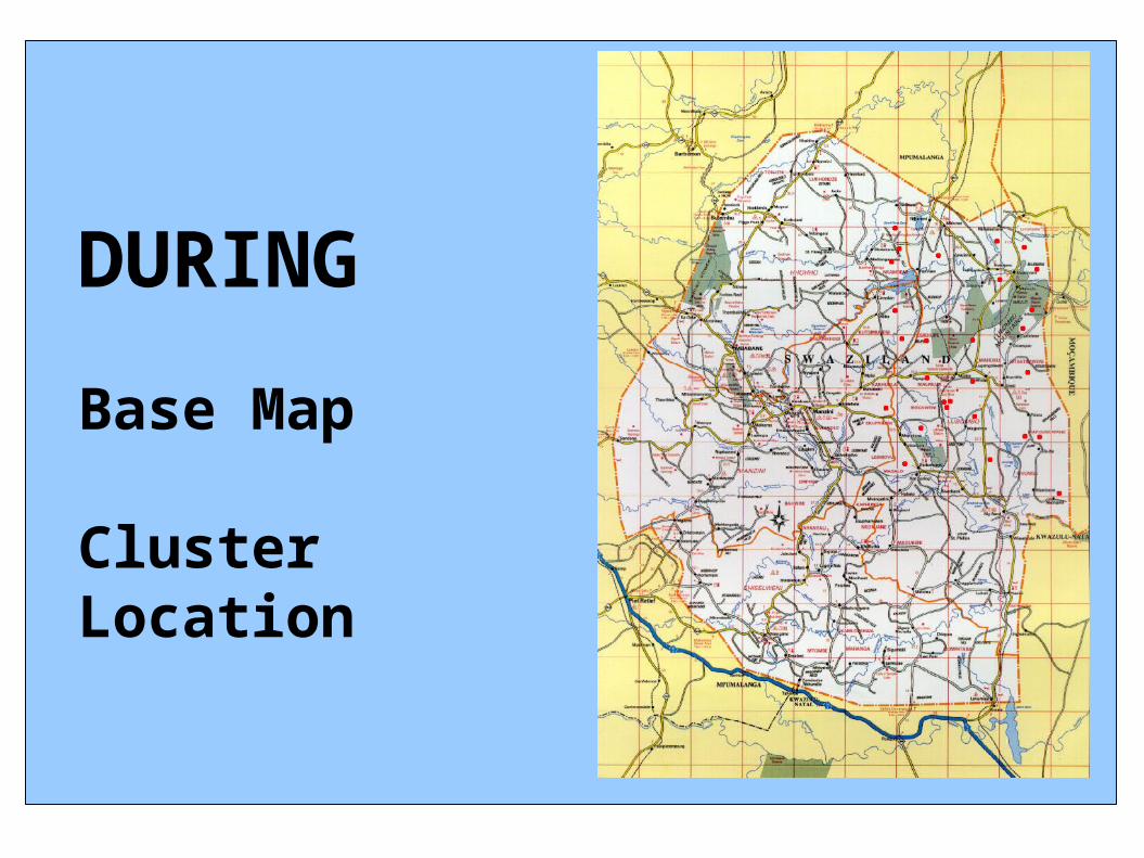
DURING
Base Map
ClusterLocation
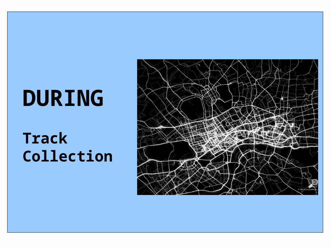
DURING
TrackCollection
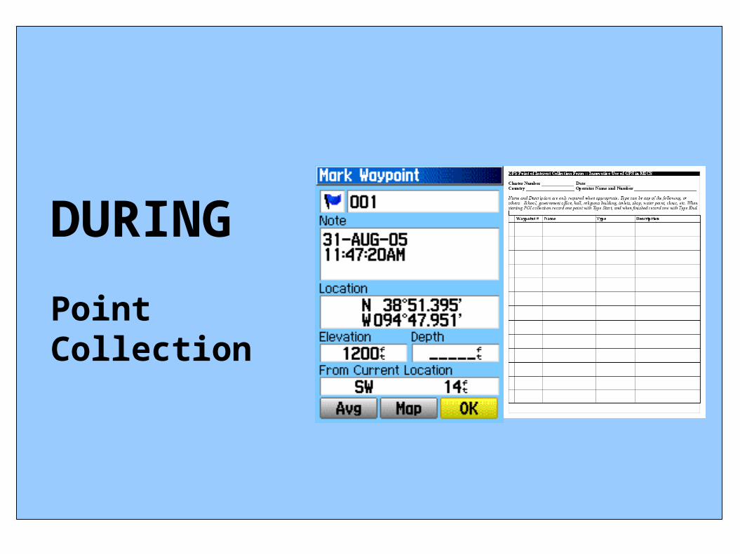
DURING
PointCollection
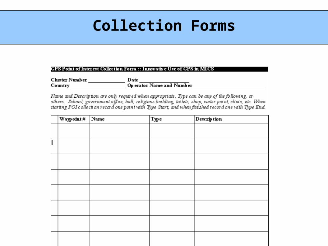
Collection Forms
What cool stuffdid we do with
GPSin the survey
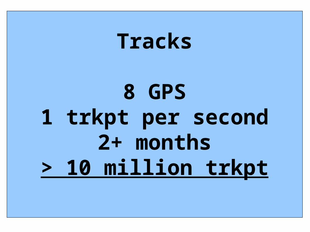
Tracks
8 GPS1 trkpt per second
2+ months> 10 million trkpt
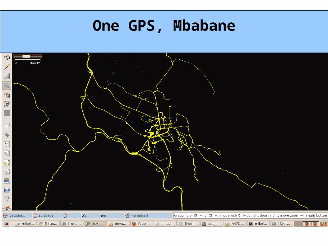
One GPS, Mbabane
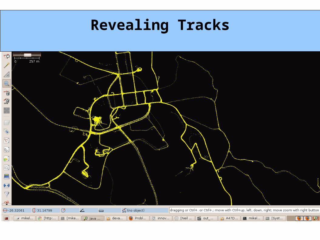
Revealing Tracks
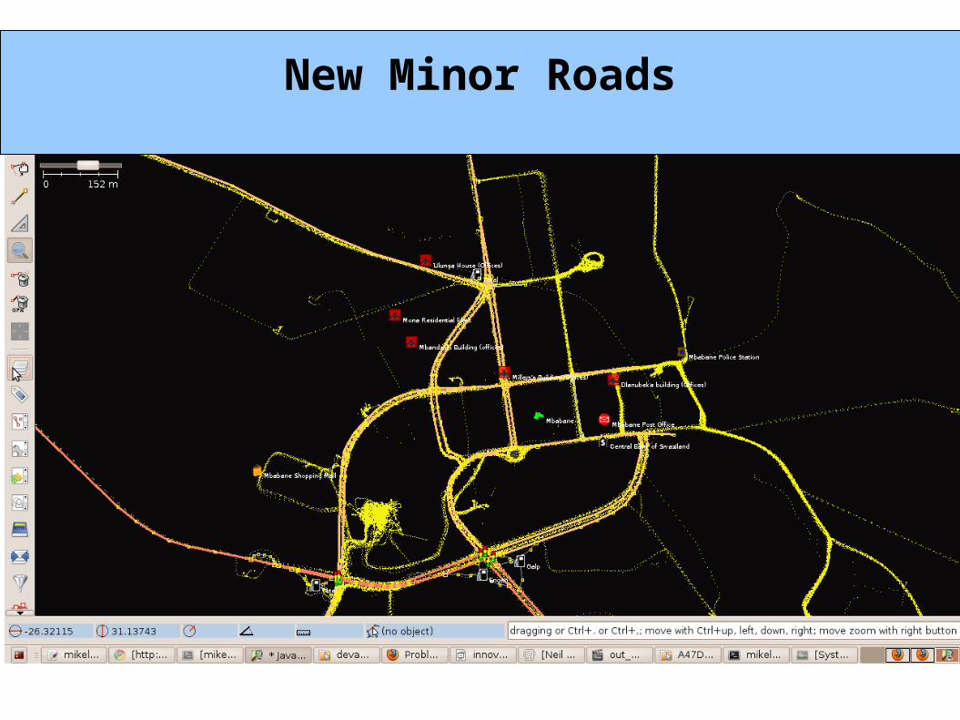
New Minor Roads
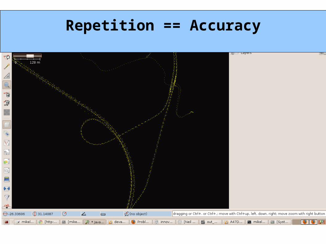
Repetition == Accuracy

Track AnimationWeek 1
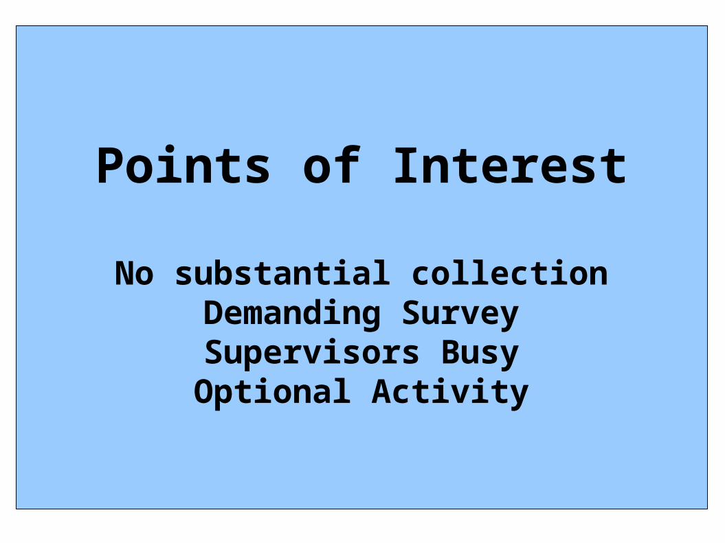
Points of Interest
No substantial collectionDemanding SurveySupervisors BusyOptional Activity
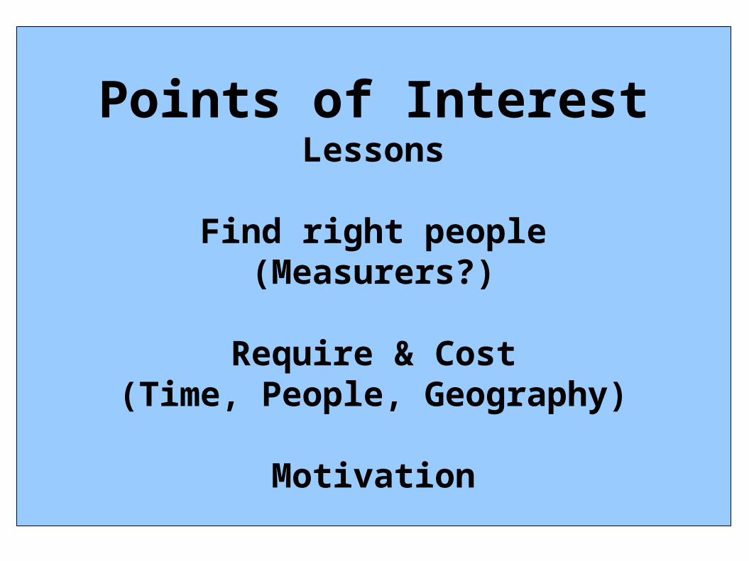
Points of InterestLessons
Find right people(Measurers?)
Require & Cost(Time, People, Geography)
Motivation
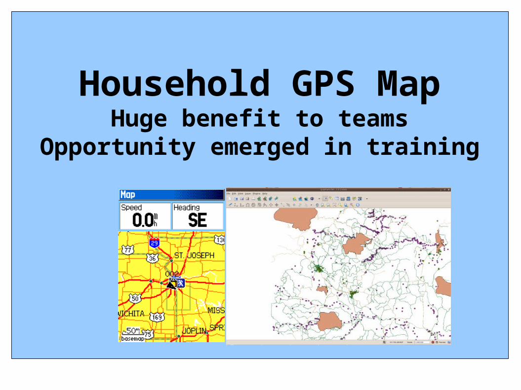
Household GPS MapHuge benefit to teams
Opportunity emerged in training
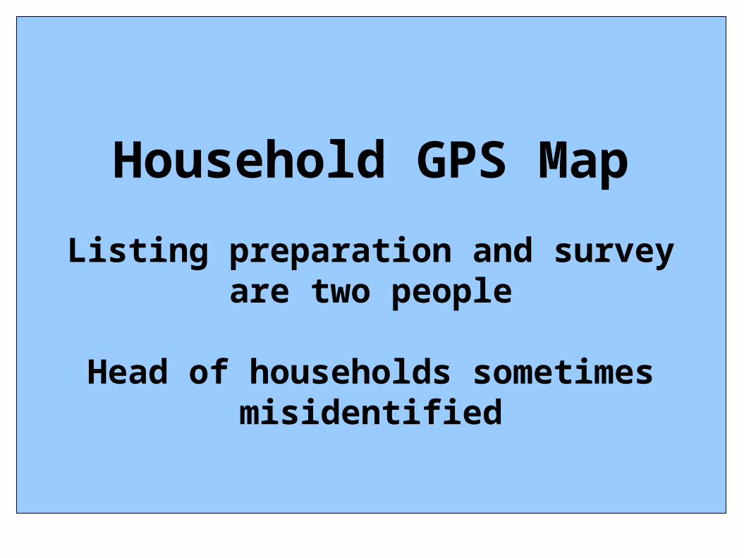
Household GPS Map
Listing preparation and survey are two people
Head of households sometimes misidentified
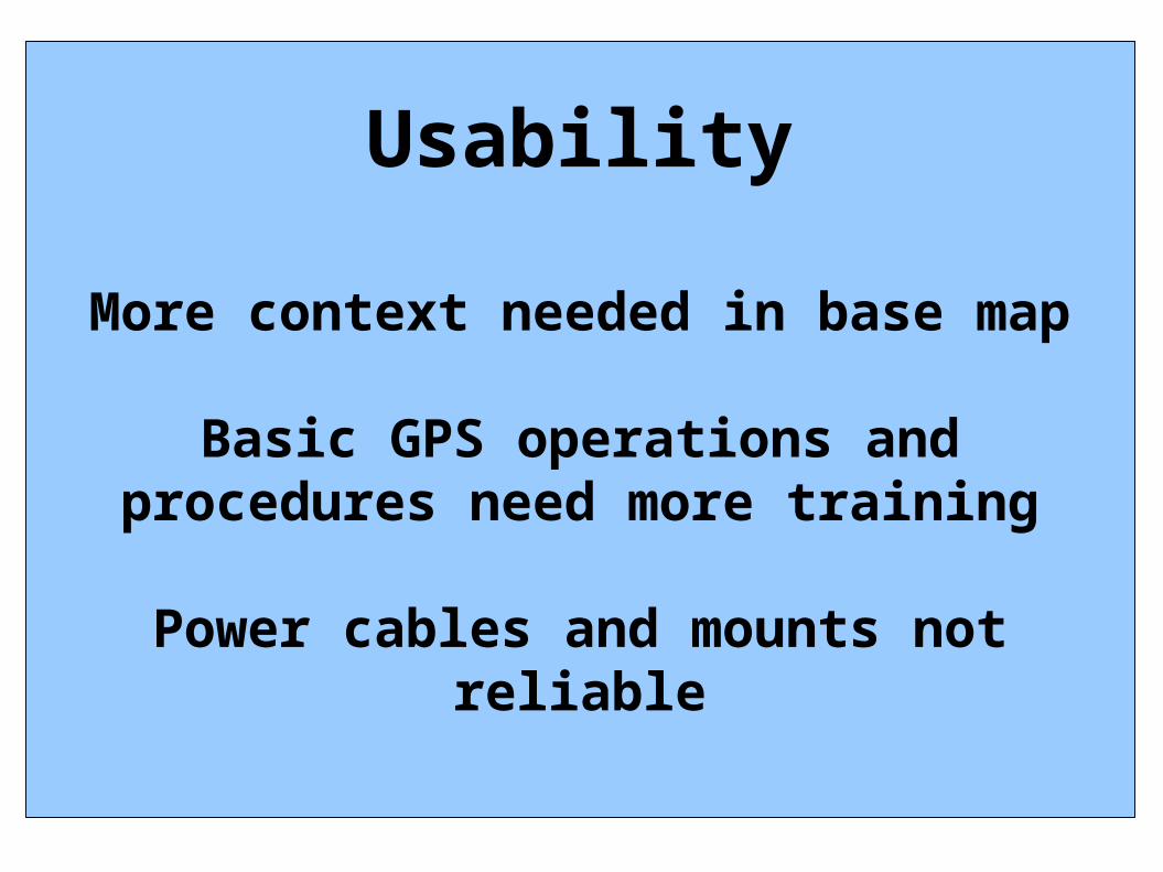
Usability
More context needed in base map
Basic GPS operations and procedures need more training
Power cables and mounts not reliable
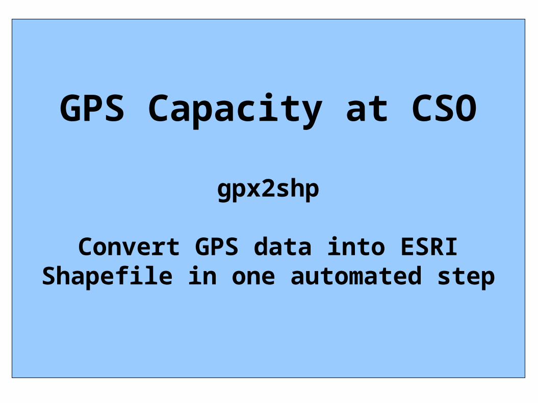
GPS Capacity at CSO
gpx2shp
Convert GPS data into ESRI Shapefile in one automated step
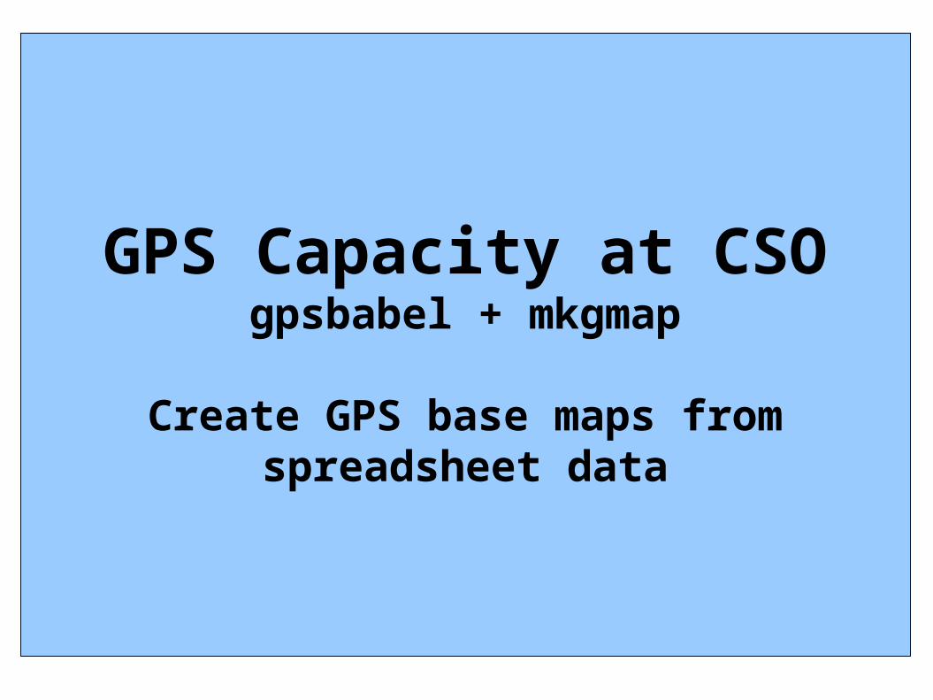
GPS Capacity at CSOgpsbabel + mkgmap
Create GPS base maps from spreadsheet data
What cool stuffdo we do next with
GPSin the survey
Final Collection
Tracks, Waypoints, Formsfollowing conclusion of survey
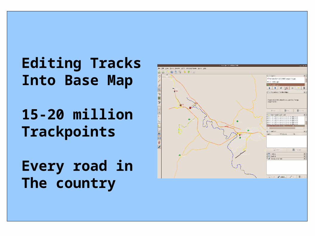
Editing TracksInto Base Map
15-20 millionTrackpoints
Every road inThe country
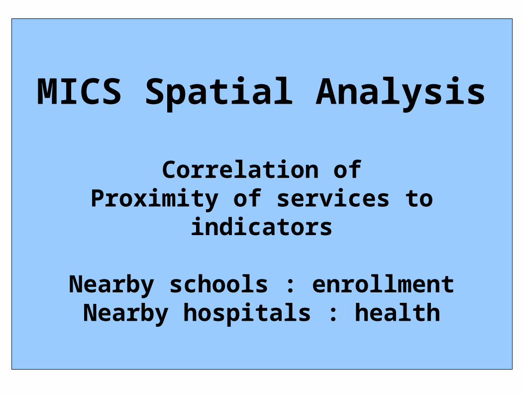
MICS Spatial Analysis
Correlation ofProximity of services to
indicators
Nearby schools : enrollmentNearby hospitals : health
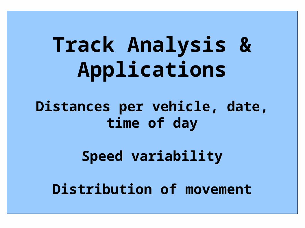
Track Analysis &Applications
Distances per vehicle, date, time of day
Speed variability
Distribution of movement
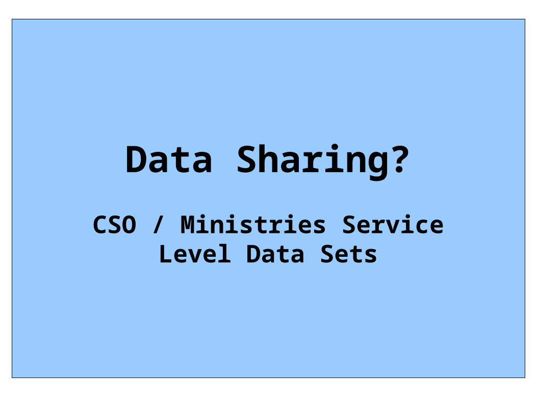
Data Sharing?
CSO / Ministries ServiceLevel Data Sets
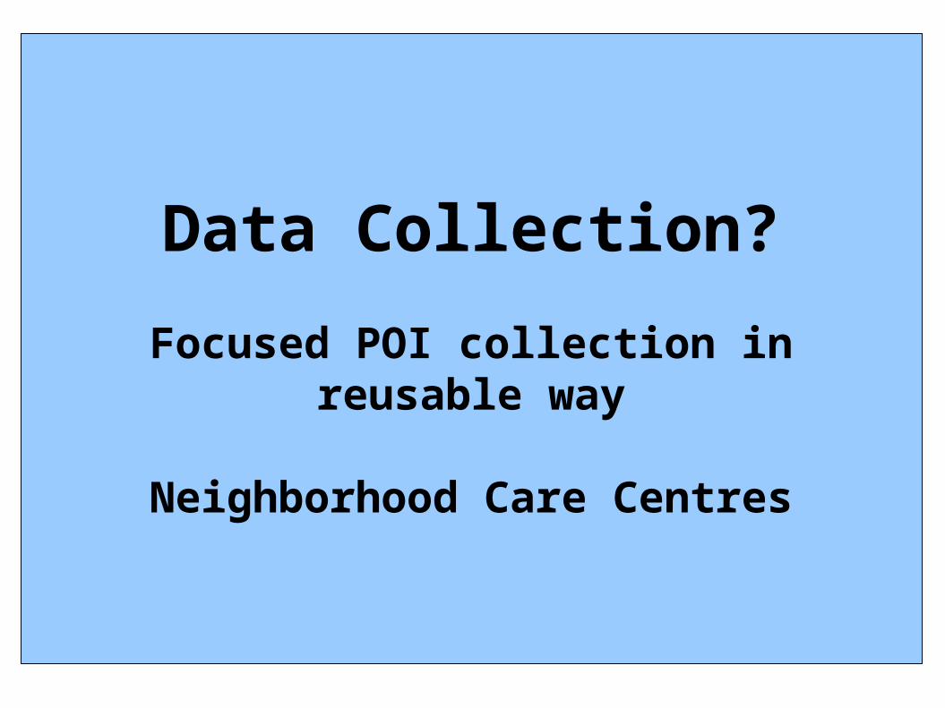
Data Collection?
Focused POI collection in reusable way
Neighborhood Care Centres