Embed Size (px)
DESCRIPTION
Pictorial Maps & Webs. Mytia Darden- Salley Shanead Daniel Samantha Greaves Lanie Williford. What is a pictorial map?. Uses pictures along with words Shows interrelationships among words or concepts Uses illustrations to convey information about geographic locations. - PowerPoint PPT Presentation
Citation preview
Pictorial Maps & Webs
Mytia Darden-Salley
Shanead Daniel
Samantha Greaves
Lanie Williford
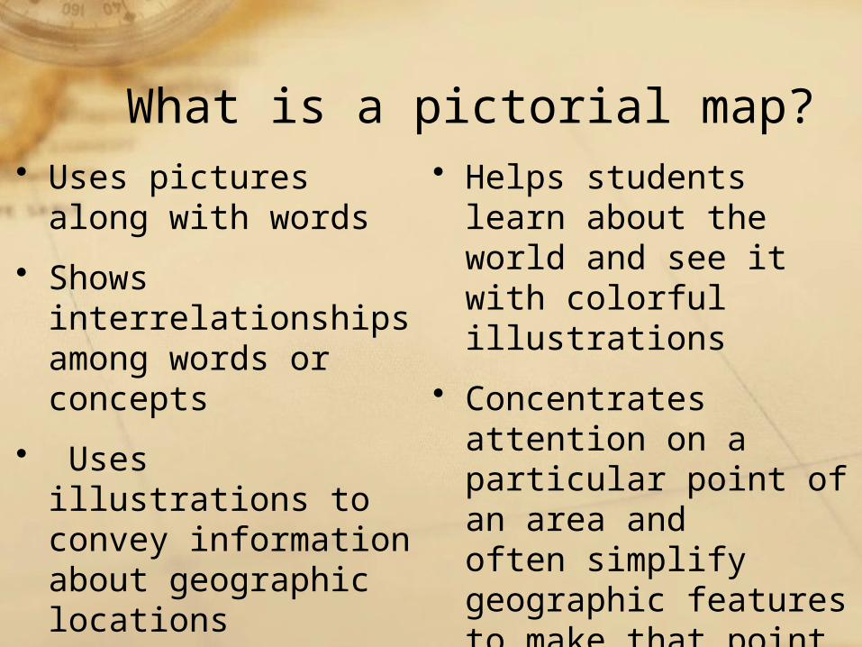
What is a pictorial map?• Uses pictures along
with words
• Shows interrelationships among words or concepts
• Uses illustrations to convey information about geographic locations
• Helps students learn about the world and see it with colorful illustrations
• Concentrates attention on a particular point of an area and often simplify geographic features to make that point.
• Helps students see the world as a collection of different cultures and geographies
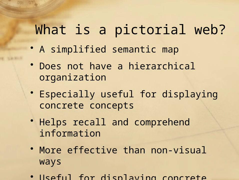
What is a pictorial web?• A simplified semantic map
• Does not have a hierarchical organization
• Especially useful for displaying concrete concepts
• Helps recall and comprehend information
• More effective than non-visual ways
• Useful for displaying concrete concepts
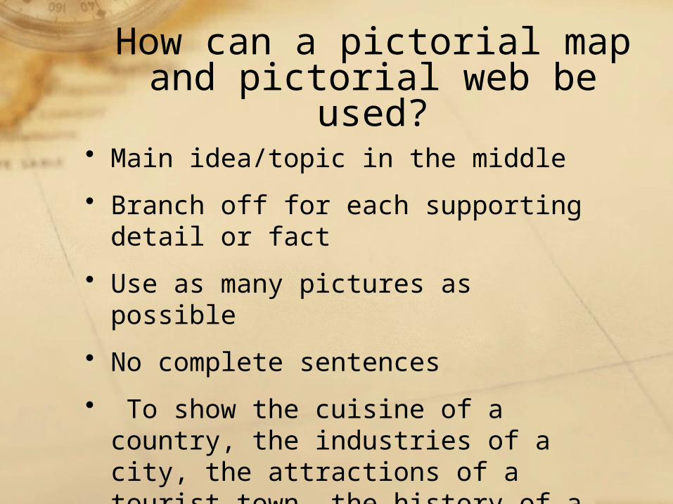
How can a pictorial map and pictorial web be used?
• Main idea/topic in the middle
• Branch off for each supporting detail or fact
• Use as many pictures as possible
• No complete sentences
• To show the cuisine of a country, the industries of a city, the attractions of a tourist town, the history of a region or its holy shrines
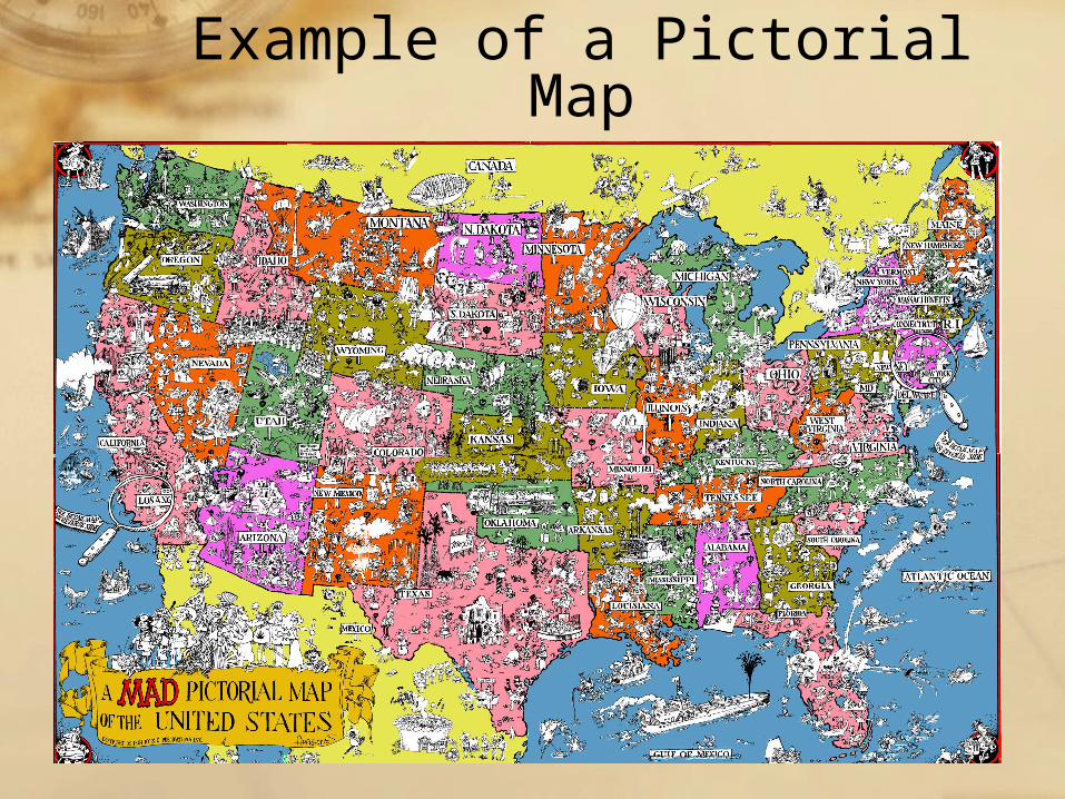
Example of a Pictorial Map
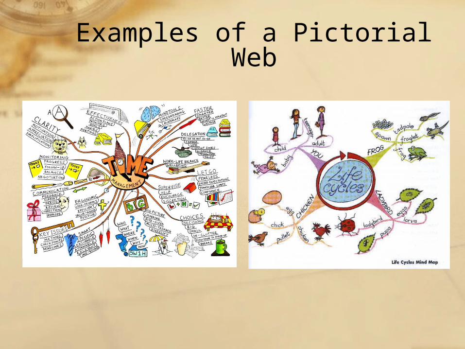
Examples of a Pictorial Web
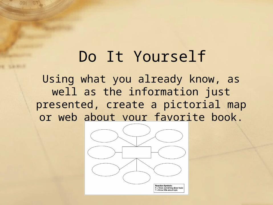
Do It YourselfUsing what you already know, as well
as the information just presented, create a pictorial map or web about
your favorite book.