Embed Size (px)
Citation preview
Permanent Service for Mean Sea Level (PSMSL)
Philip L. Woodworth
Director, PSMSL
19-21 February 2007, Oxnard, CA www.pol.ac.uk/psmsl

Contents of Talk
• PSMSL brief background
• Answers to questions that Hans-Peter Plag asked Services to
address at the Oxnard retreat
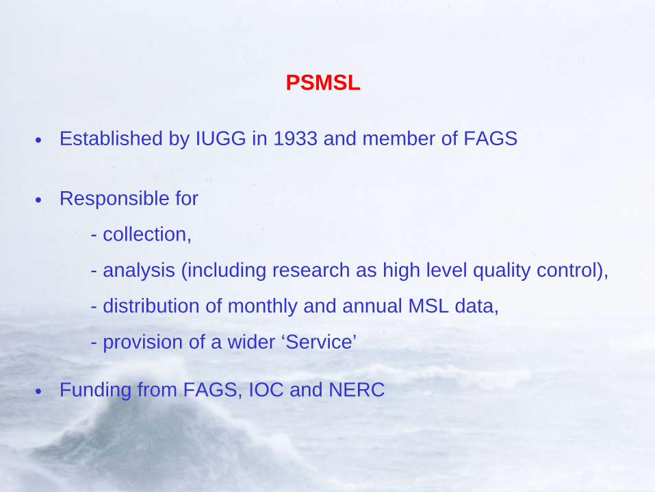
PSMSL
• Established by IUGG in 1933 and member of FAGS
• Responsible for
- collection,
- analysis (including research as high level quality control),
- distribution of monthly and annual MSL data,
- provision of a wider ‘Service’
• Funding from FAGS, IOC and NERC
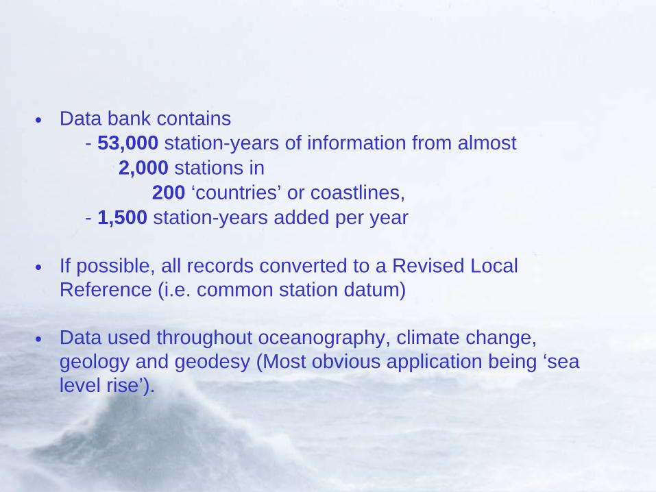
• Data bank contains - 53,000 station-years of information from almost 2,000 stations in 200 ‘countries’ or coastlines, - 1,500 station-years added per year
• If possible, all records converted to a Revised Local Reference (i.e. common station datum)
• Data used throughout oceanography, climate change, geology and geodesy (Most obvious application being ‘sea level rise’).


Global Sea Level Change:
Long records from each continent from PSMSL data bank.
Most records show evidence for rising sea levels during the past century
IPCC TAR concluded that there has been a global rise of approx. 10-20 cm in past 100 years
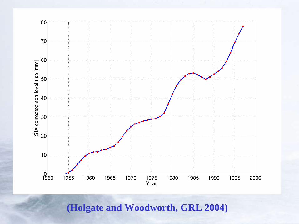
(Holgate and Woodworth, GRL 2004)
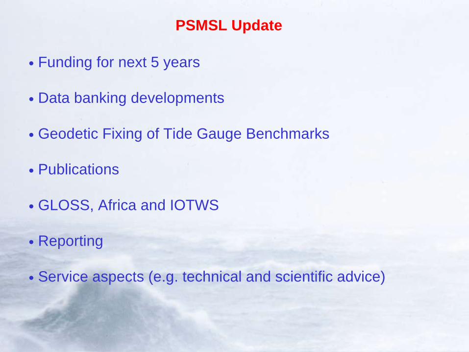
PSMSL Update
• Funding for next 5 years
• Data banking developments
• Geodetic Fixing of Tide Gauge Benchmarks
• Publications
• GLOSS, Africa and IOTWS
• Reporting
• Service aspects (e.g. technical and scientific advice)

PSMSL Funding Next 5 Years
• In 2006 all components of all UK marine centres submitted proposals for continued funding for next 5 years in a process called OCEANS2025 (cf. GGOS 2020).
• PSMSL was graded as alpha-5 (maximum) and funding approved for all that was requested

Data Banking Developments
• Proposal based on a merger of the traditional PSMSL collection of MSL means from about 2000 sites
with
• Delayed mode collection of raw data from 300 sites in GLOSS network (formerly performed by BODC)
• Objective is to develop a focus for all delayed mode sea level data to be used for science (cf. real time data to be responsibility of University of Hawaii)
• Proposal also endorsed by PSMSL Advisory Group and FAGS
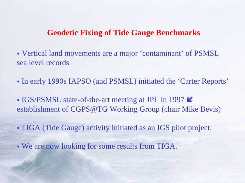
Geodetic Fixing of Tide Gauge Benchmarks
• Vertical land movements are a major ‘contaminant’ of PSMSL sea level records
• In early 1990s IAPSO (and PSMSL) initiated the ‘Carter Reports’
• IGS/PSMSL state-of-the-art meeting at JPL in 1997 establishment of CGPS@TG Working Group (chair Mike Bevis)
• TIGA (Tide Gauge) activity initiated as an IGS pilot project.
• We are now looking for some results from TIGA.
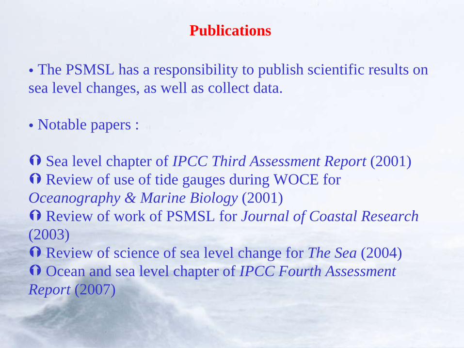
Publications
• The PSMSL has a responsibility to publish scientific results on sea level changes, as well as collect data.
• Notable papers :
Sea level chapter of IPCC Third Assessment Report (2001) Review of use of tide gauges during WOCE for Oceanography & Marine Biology (2001) Review of work of PSMSL for Journal of Coastal Research (2003) Review of science of sea level change for The Sea (2004) Ocean and sea level chapter of IPCC Fourth Assessment Report (2007)
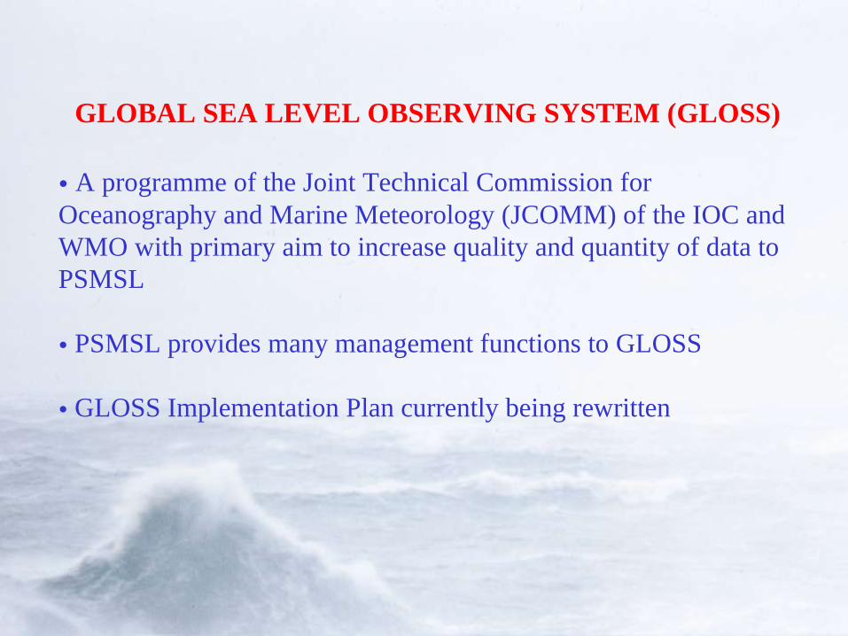
GLOBAL SEA LEVEL OBSERVING SYSTEM (GLOSS)
• A programme of the Joint Technical Commission for Oceanography and Marine Meteorology (JCOMM) of the IOC and WMO with primary aim to increase quality and quantity of data to PSMSL
• PSMSL provides many management functions to GLOSS
• GLOSS Implementation Plan currently being rewritten
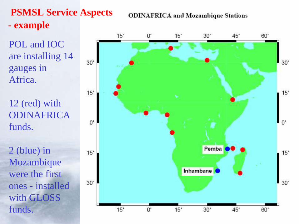
POL and IOC are installing 14 gauges in Africa.
12 (red) withODINAFRICA funds.
2 (blue) in Mozambique were the first ones - installed with GLOSS funds.
PSMSL Service Aspects- example
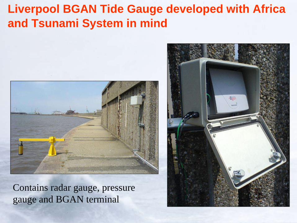
Liverpool BGAN Tide Gauge developed with Africa and Tsunami System in mind
Contains radar gauge, pressure gauge and BGAN terminal

Reporting
• The PSMSL reports formally to the IAPSO Commission on MSL and Tides
• Also reports to FAGS Council (next meeting April 2007)
• PSMSL also has an Advisory Group:
Dr. David Pugh, President IOCDr. Ruth Neilan, Director IGS Central Bureau, JPL, USAProf. Gary Mitchum, University of South Florida, USAProf. Bruce Douglas, Maryland, USADr. John Church, CSIRO, AustraliaDr. Per Knudsen, Danish National Space CentreDr. Thorkild Aarup, IOCDr. Juan Fierro, SHOA, ChileDr. Richard Bingley, Nottingham University, UK
• End of PSMSL Introduction
• On to Hans-Peter’s Questions

What role should PSMSL play in GGOS?
• PSMSL thinks GGOS is a ‘good thing’ e.g. paper by Woodworth, Rummel and Aarup (J. of Geodynamics, 2005)
• General link to ocean community (GOOS, GCOS)
• Particular link to IGS (GPS at gauges)
• Capacity building
• Cooperation at new stations (e.g. Tilo Schoene, Rui Fernandez)
What relations does PSMSL want outside of GGOS?
• Just about everything (90/10)
• Most PSMSL links are to IUGG/IAPSO/FAGS for scientific organisation and to IOC/GLOSS for network implementation or data banking
Would PSMSL implement and adhere to GGOS standards ?
• Depends what they are. If they are sensible we will implement them.
• Main common standards presumably enter into (e.g.) handling ties, metadata etc.
• Ocean activities have IODE to advise on standards
What does PSMSL see as added value of a GGOS ?
• Obvious for IGS, IVS etc.
• Eventual best products for land movements etc.
• Other benefits in terms of public perception etc.
• Sea level (PSMSL) slightly off to one side in all of this (but note IAS). But no objection in principle and can see benefits of a sea level association with a GGOS e.g. see conclusions WCRP Sea Level Conference June 2006 (EOS, January 23, 2007).
What does PSMSL expect from GGOS and what new functions would PSMSL like GGOS to fill?
• Chapters 8 and 9 refer to tide gauges only in 8.4.5 and only then in passing.
• PSMSL not referred to in whole document
• Figure 28 (for example) doesn’t accommodate tide gauges or PSMSL (IGFS ?)
• HPP - Which of these components would the PSMSL contribute to? Does it find itself appropriately represented?!!
What would be the appropriate level of standardisation for a GGOS data portal ?
• Suggest GGOS talks to IODE• A common portal difficult. Normal web links could
work of course, but what will the web look like in a few years?
• Metadata could certainly be standardised and made available via a common portal in a standard way.
• HPP -Would PSMSL comply with GGOS metadata standards? Ok, if compatible with other standards.
• HPP – Common layout of web pages? Difficult in short term. (FAGS intends some standardisation of web pages).
Conclusions
• Be assured that PSMSL does consider GGOS development important
• But it does see some difficulty fitting in with the groupings of the other (functionally rather similar) Services
• But if GGOS requires PSMSL participation it can no doubt find a way to accommodate it (other organisational problems not considered in document e.g. FAGS)
• From April 2007 PSMSL will:
Have a new Director (Dr. Lesley Rickards) – main task the merger of the MSL and delayed mode raw data collections
New geodesist staff member with GGOS explicitly in job description