Embed Size (px)
Citation preview
NORTHEAST
YORKSHIRE &E HUMBER
WEST MIDLANDS
Arnside &Arnside & Arnside & SilverdaleSilverdaleSilverdale
lwayCoastCoastCoast
Forest of Forest of Forest of BowlandBowlandBowland
SolwaySolwaySolwayCoastCoastCoast
ForestForestForest
Red Rose ForestRed Rose ForestRed Rose Forest
The Mersey ForestThe Mersey ForestThe Mersey Forest
LAKE DISTRICTLAKE DISTRICT
HeadSt BeesSt Bees St Bees
Head
North PenninesNorth Pennines
YTHE HEY
EAST MIDLANDS
PennineBridlewayPennine Bridleway
PennineBridlewayPennine Bridleway
nninePenninenninePennPenninePennnnPenninennWayWayWayWWayW
PePenninePeWay
PennineWay
Hadrian'sWall PathHadrian's Wall Path
Hadrian'sWall PathHadrian'sWall Path
DALESYORKSHIREYORKSHIRE YORKSHIRE DALES
PEAKPEAK PEAK DISTRICTDISTRICTDISTRICT
NORTHUMBERLANDNORTHUMBERLANDNORTHUMBERLAND
Matlock
Middleton Top
Hartington Station
Buxton
HayfieldHay
Glossop
Uppermill
Hebden Bridge
Whitworth
Burnley
Barnoldswick
Settle
Appleby
Haltwhistle
Byrness
Kirkby Stephen
Keighley
Penistone
Bolton
Bellingham
Mary Towneley Loop
CUMBRIA
Carlisle
Allerdale
Eden
South Lakeland
Copeland
BOLTON
LANCASHIRE
CHESHIRE
Lancaster
Ribble ValleyWyre
Pendle
Burnley
Rossendale
Chorley
South Ribble
PrestonFylde
West Lancashire
MacclesfieldVale Royal
Chester
Crewe & Nantwich
CongletonEllesmere
Port & Neston
Barrow-in-Furness
Hindburn
OLDHAM
TAMESIDE
STOCKPORT
ROCHDALE
BURY
MA
NCH
ESTE
R
TRAFFORDSALFORDWIGAN
ST HELENS
KNO
WSLEY
SEFTON
LIVERPOO
LWIRRALWARRINGTON
HALTON
BLACKBU
RN
BLACKPOOL
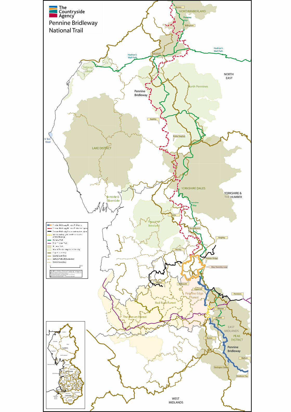
Pennine Bridleway National Trail
This map is repr om OrOr oller of Her Majesty’s Stationery Offices Stationery Office Crown copyright. Unauthorised reproduction infringes Crown copyright and may lead to prosecution or civil proceedings.The Countryside Agency, John Dower House, Crescent Place,Cheltenham, Gloucestershire GL50 3RA The Countryside Agency 2004 Licence No. 100018881 c
c
Pennine Bridleway National Trail open
Pennine Bridleway National Trail not yet open
Pennine Bridleway feeder route not yet open
Interim walker, cyclist and horse routesaround Glossop
National Trail
Trans Pennine Trail
National Park
Area of Outstanding Natural Beauty
Region boundary
County boundary
Unitary Authority boundary
District boundary
0 20km