Embed Size (px)
Citation preview
NATIONAL STATES GEOGRAPHIC INFORMATION COUNCIL
NATIONAL STATES GEOGRAPHIC INFORMATION COUNCIL
2105 Laurel Bush Rd. Suite 200
Bel Air, MD 21015
443-640-1075 www.nsgic.org
NSGIC New Member OrientationNSGIC New Member OrientationKeystone, Colorado September 7, 2008

NATIONAL STATES GEOGRAPHIC INFORMATION COUNCIL
A Welcome From the Past PrezA Welcome From the Past Prez
NATIONAL STATES GEOGRAPHIC INFORMATION COUNCIL
What is NSGIC ?What is NSGIC ?
• People
• Conferences – Caucus
• Information
• Committees
• Hot Topics
• Action

NATIONAL STATES GEOGRAPHIC INFORMATION COUNCIL
What is NSGIC ?What is NSGIC ?
• Small 501 (c) 6 nonprofit organization (~623 members with steady growth)
• Formed in 1991• Promote statewide GIS coordination councils • Serve as the voice of States for geospatial issues• Actively engaged with many Federal organizations
– especially focused on the FGDC and the NSDI
• Promote effective and efficient government through the prudent adoption of geospatial technologies
• Each State has A single VOTE!– Caucus membership in each state

NATIONAL STATES GEOGRAPHIC INFORMATION COUNCIL
Membership (2008)Membership (2008)
• State Gov75
• Institutional 24• Bus/Corporate
84• State Council (6) 137• Federal Partner (6) 303
Total 623
(457 in 2006)
NATIONAL STATES GEOGRAPHIC INFORMATION COUNCIL
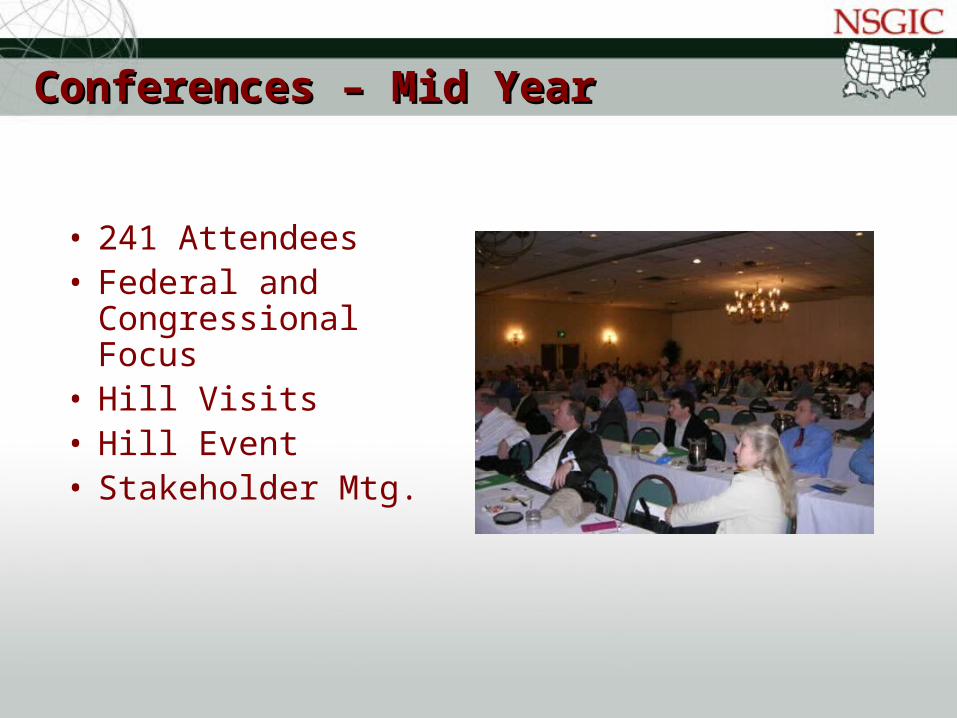
Conferences – Mid YearConferences – Mid Year
• 241 Attendees• Federal and
Congressional Focus
• Hill Visits• Hill Event• Stakeholder Mtg.
NATIONAL STATES GEOGRAPHIC INFORMATION COUNCIL
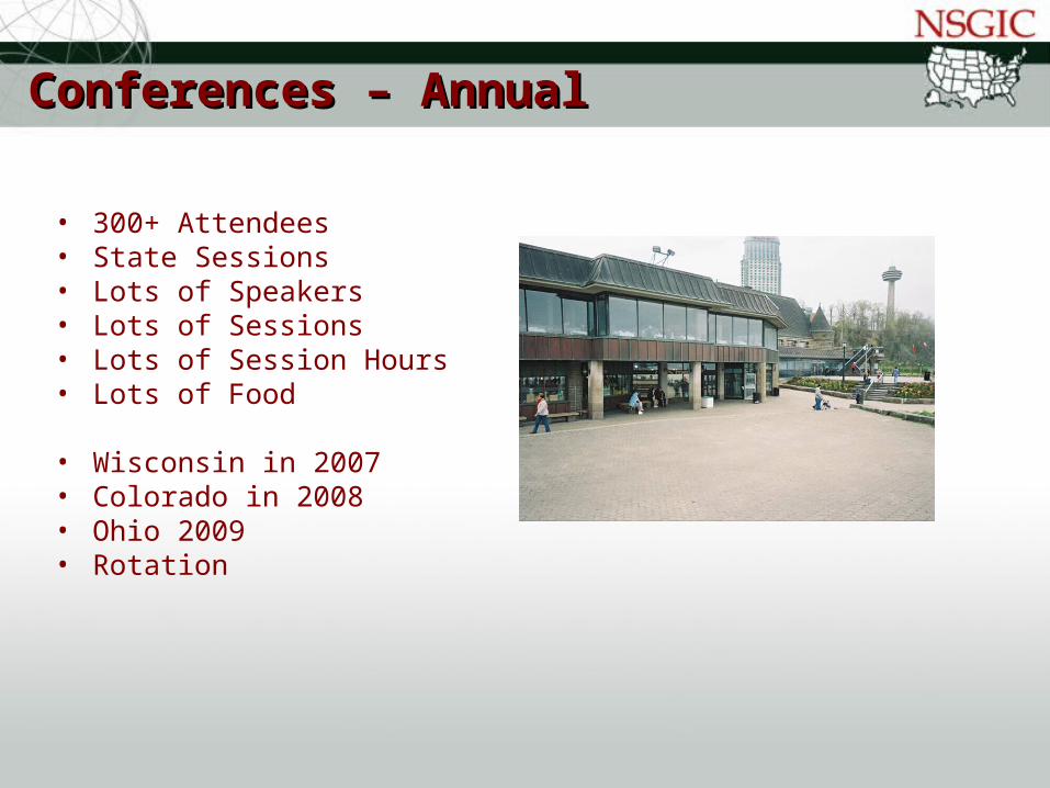
Conferences – AnnualConferences – Annual
• 300+ Attendees• State Sessions• Lots of Speakers• Lots of Sessions• Lots of Session Hours• Lots of Food • Wisconsin in 2007• Colorado in 2008• Ohio 2009• Rotation

NATIONAL STATES GEOGRAPHIC INFORMATION COUNCIL
Conference AttendanceConference Attendance

NATIONAL STATES GEOGRAPHIC INFORMATION COUNCIL
Conference AttendanceConference Attendance

NATIONAL STATES GEOGRAPHIC INFORMATION COUNCIL
Conference AttendanceConference Attendance

NATIONAL STATES GEOGRAPHIC INFORMATION COUNCIL
Platinum Sponsor

NATIONAL STATES GEOGRAPHIC INFORMATION COUNCIL
Gold Sponsor

NATIONAL STATES GEOGRAPHIC INFORMATION COUNCIL
Silver Sponsor
NATIONAL STATES GEOGRAPHIC INFORMATION COUNCIL
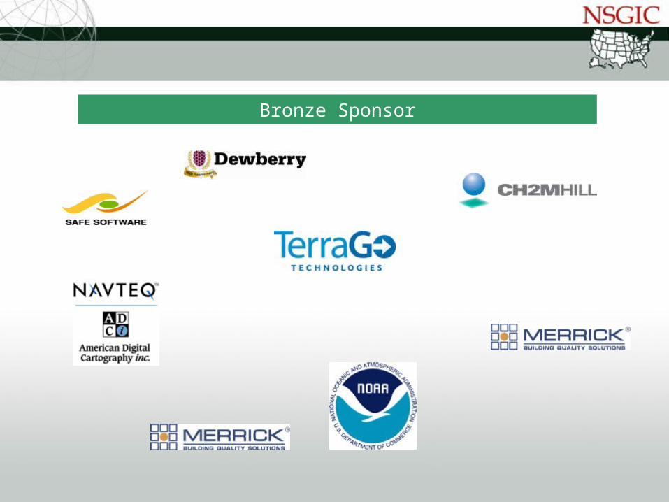
Bronze Sponsor
NATIONAL STATES GEOGRAPHIC INFORMATION COUNCIL
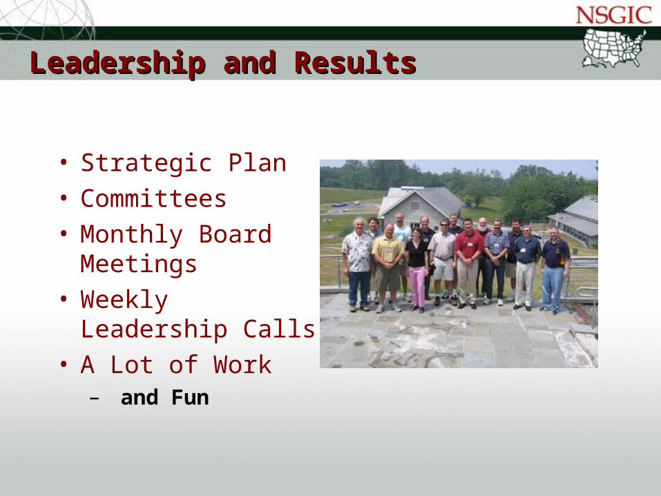
Leadership and ResultsLeadership and Results
• Strategic Plan• Committees• Monthly Board
Meetings• Weekly Leadership
Calls • A Lot of Work
– and Fun

NATIONAL STATES GEOGRAPHIC INFORMATION COUNCIL
Leadership with PurposeLeadership with Purpose
• Long Term Purpose and Role in NSDI
• Financial Bottom Line and Forecast
• Alignment with Organizations
• Member Services• Short Term Focus• Managing Our Work

NATIONAL STATES GEOGRAPHIC INFORMATION COUNCIL
Organizational Structure of NSGICOrganizational Structure of NSGIC
• President (1 year term)
• President-Elect (elected 1 year term)
• Past President (1 year term)
• 6 Board of Directors (elect 3 every 2 yrs)– Secretary (Appointed)– Treasurer (Appointed) – Committee/Work Group Chairs– Washington Liaison

NATIONAL STATES GEOGRAPHIC INFORMATION COUNCIL
Committees & Work Groups (WG)Committees & Work Groups (WG)
• Communication– In Reach
• Conference– Awards – Conference Sponsorship
• Sponsorship• Outreach
– Federal Coordination Factors– 50 States Initiative– Imagery for the Nation– Legislative Issues– Manage Liasions for other Associations

NATIONAL STATES GEOGRAPHIC INFORMATION COUNCIL
Committees and Work Groups… continuedCommittees and Work Groups… continued
• Technical Issues– Addresses for the Nation– Transportation for the Nation– Enterprise Architecture – Ramona
• Geospatial Preparedness• Each Committee/WG:
– Charters– Strategic Plan Assignments– Rosters– Annual Report Responsibilities

NATIONAL STATES GEOGRAPHIC INFORMATION COUNCIL
Washington LiaisonWashington Liaison
• Bill Burgess
• Our established voice and advocate in DC

NATIONAL STATES GEOGRAPHIC INFORMATION COUNCIL
Working DCWorking DC
Outreach and Legislative IssuesOutreach and Legislative Issues
NATIONAL STATES GEOGRAPHIC INFORMATION COUNCIL
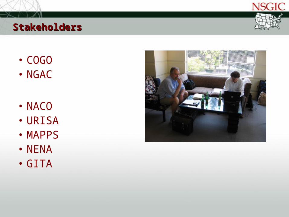
StakeholdersStakeholders
• COGO• NGAC
• NACO• URISA• MAPPS• NENA• GITA

NATIONAL STATES GEOGRAPHIC INFORMATION COUNCIL
NSGIC HQ - ManagementNSGIC HQ - Management
• KingStringfellow Group, Inc
• Bel Air, Maryland• Fred• Diane• Other support staff

NATIONAL STATES GEOGRAPHIC INFORMATION COUNCIL
Web PresenceWeb Presence

NATIONAL STATES GEOGRAPHIC INFORMATION COUNCIL
NSGIC’s Current PrioritiesNSGIC’s Current Priorities
• Imagery for the Nation (Updated from 2007-2008)
• Cadastral (Parcel) Mapping • CAP Grants and Partnership Funds (Updated
from 2007-2008)• Transportation for the Nation (New for 2008-
2009) • Technology for the 21st Century (New for
2008-2009)

NATIONAL STATES GEOGRAPHIC INFORMATION COUNCIL
Imagery for the NationImagery for the Nation
• Support, authorization and funding (new funds) from Congress to implement a sustained national program for the collection, maintenance, distribution and archive of aerial imagery that meets on-going local, state, and federal program requirements.
• Support the FGDC in its efforts to design a national imagery. The Council will seek authorization and recurring appropriations for the program designed by the FGDC if it meets the business needs of state and local governments.
• The Council will inform and support the States to ensure their compliance with the business planning processes of the proposed Imagery for the Nation program.
NATIONAL STATES GEOGRAPHIC INFORMATION COUNCIL
Cadastral (Parcel) Mapping Cadastral (Parcel) Mapping
• The Council will seek, support, and advocate for federal activities and legislation that will work to implement key recommendations of the National Academy’s report entitled “National Land Parcel Data: A Vision for the Future.”
NATIONAL STATES GEOGRAPHIC INFORMATION COUNCIL
Cadastral (Parcel) Mapping Cadastral (Parcel) Mapping
• The NGAC should review OMB Circular A16 and make recommendations to optimize federal involvement. NGAC should also make recommendations on the roles and responsibilities of state and local government.
• The FGDC should support the standardization of local parcel data through CAP Grants to support the Fifty States Initiative.
• Congress should pass the FLAIR act to create a unified database of federal land holdings and provide cost sharing for local parcel data development.
• Congress should revise Title 13 to allow the Census Bureau to share its property address and coordinate data with state and local government.

NATIONAL STATES GEOGRAPHIC INFORMATION COUNCIL
Transportation for the NationTransportation for the Nation
• Support and advocate for a coordinated, standards-driven approach to the development of a nationwide roadway transportation network that meets the majority of the needs.
• Support and advocate new and existing efforts that leverage funding and labor resource economies of scale to integrate multiple stakeholder needs related to the creation, maintenance, management, and usability of transportation GIS data.
• Support and advocate partnerships with nationwide transportation organizations that advocate and support roadway transportation geospatial needs and solutions
NATIONAL STATES GEOGRAPHIC INFORMATION COUNCIL
Technology for the 21Technology for the 21stst Century Century
• This year, two primary technology issues facing the nation are national broadband infrastructure and federal eGovernment implementation.
• NSGIC will advocate with the Federal Communications Commission to support detailed reporting by carriers and broad public access to data related to public access to high-speed Internet services.
• NSGIC will seek, support and advocate for the E-Government Reauthorization Act of 2007

NATIONAL STATES GEOGRAPHIC INFORMATION COUNCIL
Working With NSGICWorking With NSGIC

NATIONAL STATES GEOGRAPHIC INFORMATION COUNCIL
QuestionsQuestions
Stu Davis, 2007 Past President
Tony Spicci, 2006 Past President
National States Geographic Information Council (NSGIC)
Ohio (614) 644-3923
Missouri (573) 882-9909
http://www.nsgic.org