Embed Size (px)
DESCRIPTION
Mapping Central and South America. Lake Titicaca. At 12,500 ft above sea level in the Andes Mountains Part of the Peru-Bolivia Border Legendary birthplace of the Inca. Sierra Madre Oriental. Eastern part of main mountain range of Mexico. - PowerPoint PPT Presentation
Citation preview
Mapping Central and South America
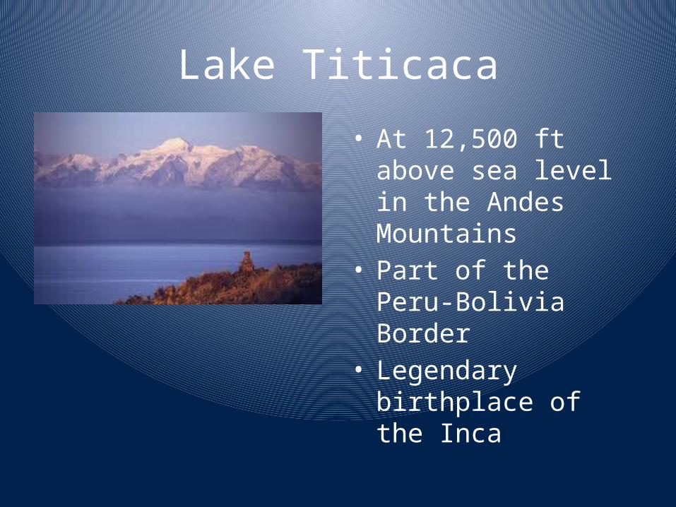
Lake Titicaca
• At 12,500 ft above sea level in the Andes Mountains
• Part of the Peru-Bolivia Border
• Legendary birthplace of the Inca
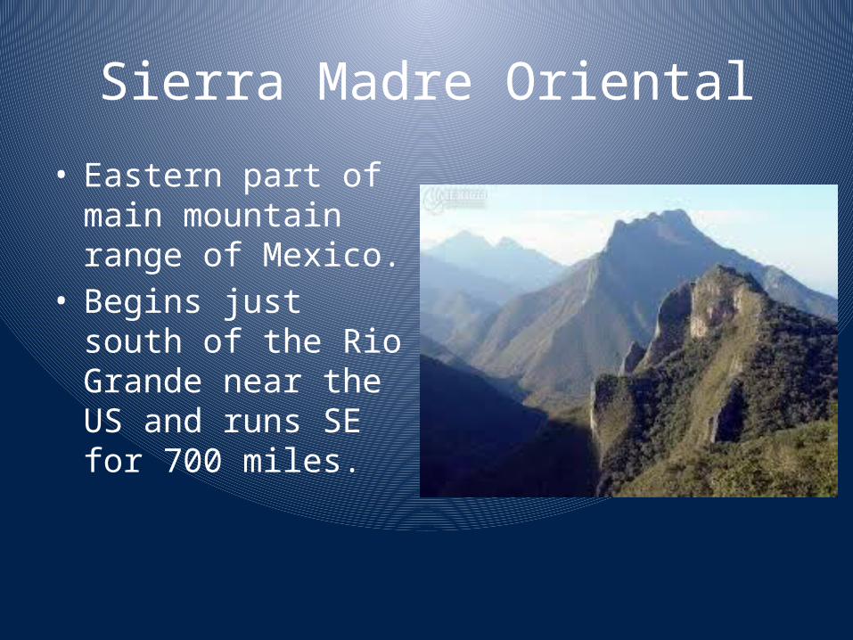
Sierra Madre Oriental
• Eastern part of main mountain range of Mexico.
• Begins just south of the Rio Grande near the US and runs SE for 700 miles.
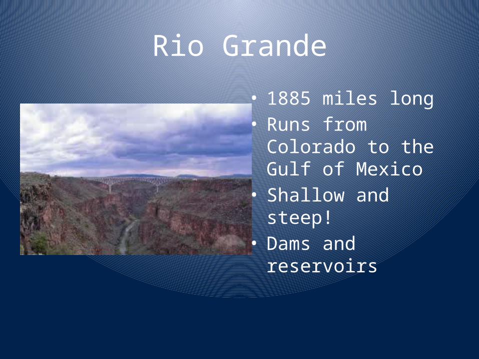
Rio Grande
• 1885 miles long• Runs from Colorado to
the Gulf of Mexico• Shallow and steep!• Dams and reservoirs
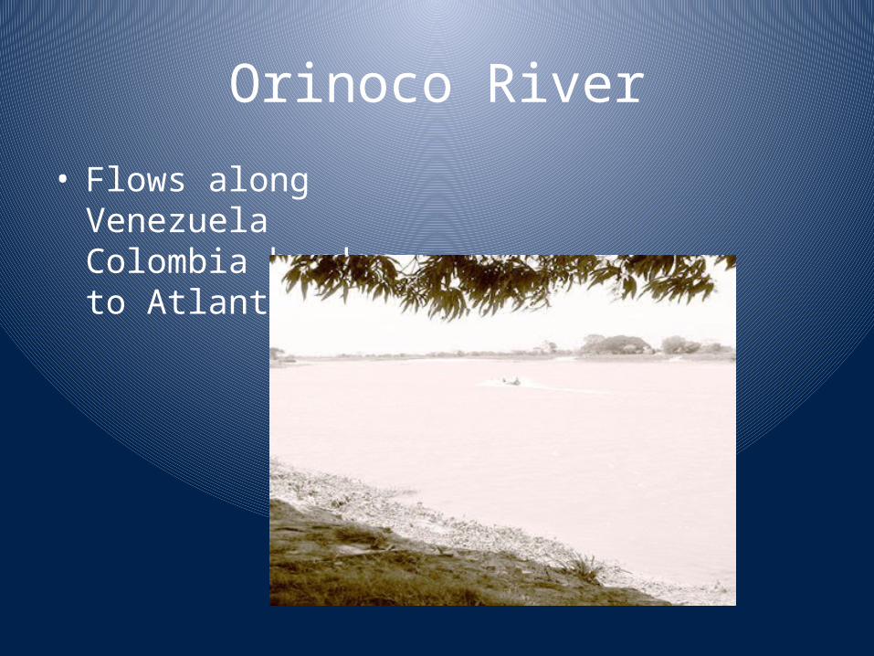
Orinoco River
• Flows along Venezuela Colombia border to Atlantic
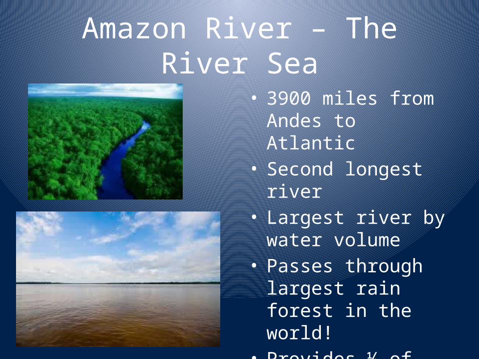
Amazon River – The River Sea
• 3900 miles from Andes to Atlantic
• Second longest river• Largest river by water
volume• Passes through largest
rain forest in the world!• Provides ½ of world’s
oxygen!
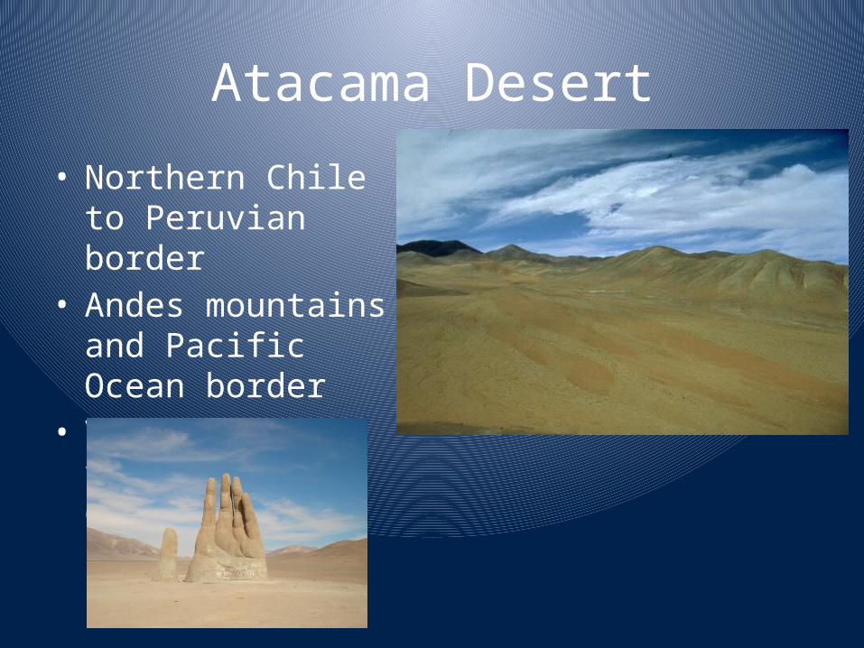
Atacama Desert
• Northern Chile to Peruvian border
• Andes mountains and Pacific Ocean border
• Virtually no vegetation for 600miles!
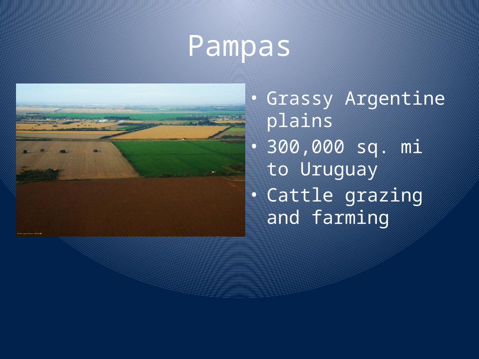
Pampas
• Grassy Argentine plains• 300,000 sq. mi to
Uruguay• Cattle grazing and
farming
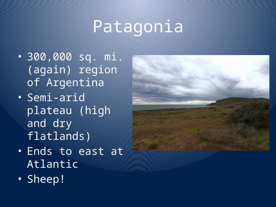
Patagonia
• 300,000 sq. mi. (again) region of Argentina
• Semi-arid plateau (high and dry flatlands)
• Ends to east at Atlantic• Sheep!
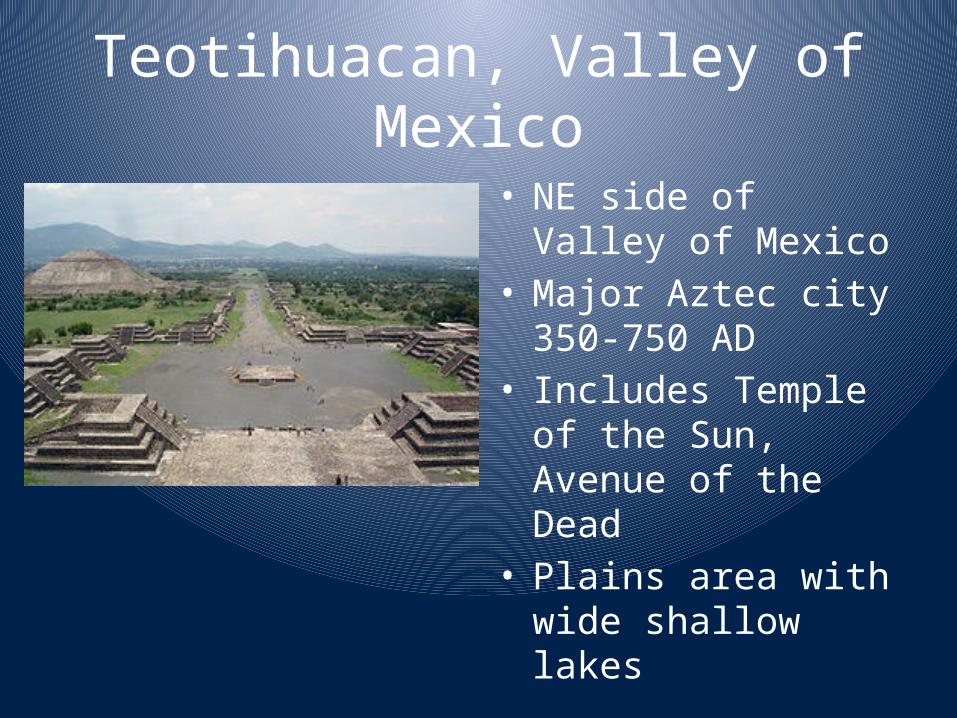
Teotihuacan, Valley of Mexico
• NE side of Valley of Mexico
• Major Aztec city 350-750 AD
• Includes Temple of the Sun, Avenue of the Dead
• Plains area with wide shallow lakes
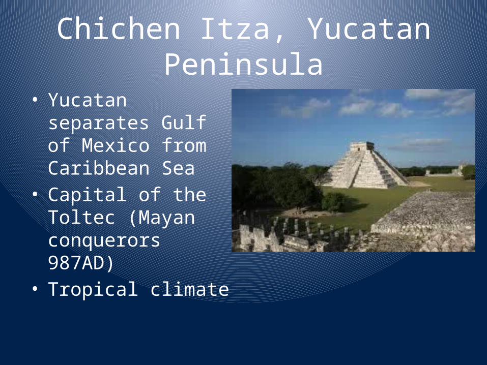
Chichen Itza, Yucatan Peninsula
• Yucatan separates Gulf of Mexico from Caribbean Sea
• Capital of the Toltec (Mayan conquerors 987AD)
• Tropical climate
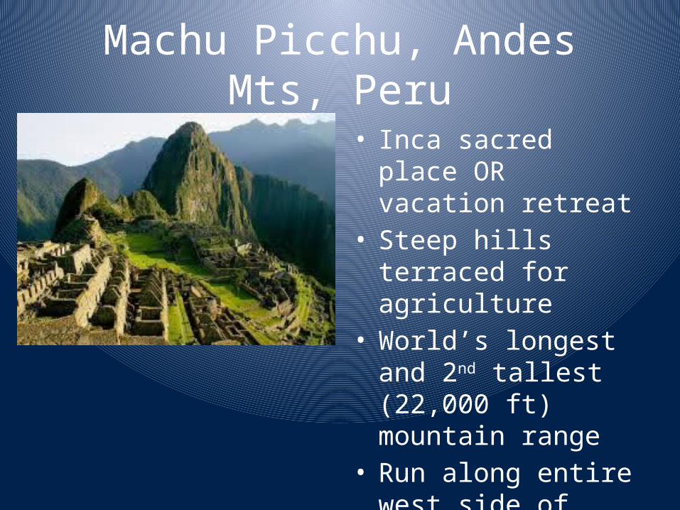
Machu Picchu, Andes Mts, Peru
• Inca sacred place OR vacation retreat
• Steep hills terraced for agriculture
• World’s longest and 2nd tallest (22,000 ft) mountain range
• Run along entire west side of continent