Embed Size (px)
Citation preview

1
Maintaining Ontologies forGeographical Information Retrieval
on the Web
Chris Jones, Alia Abdelmoty and Gaihua Fu
School of Computer ScienceCardiff University
http://www.geo-spirit.com
Spatially-aware Information Retrieval on the Internet

2
Overview
• What is a geographical ontology
• Role of geo-ontology in spatial search engine
• Design considerations
• Design of SPIRIT geo-ontology
• Implementation of SPIRIT geo-ontology
• Future Work

3
What is a Geographical Ontology?
Encodes knowledge of the terminology andstructure of geographic space
• Place names• Place types• Spatial footprints (geometric extent)• Spatial relationships between places
A global geo-ontology would representknowledge of all places on Earth
4
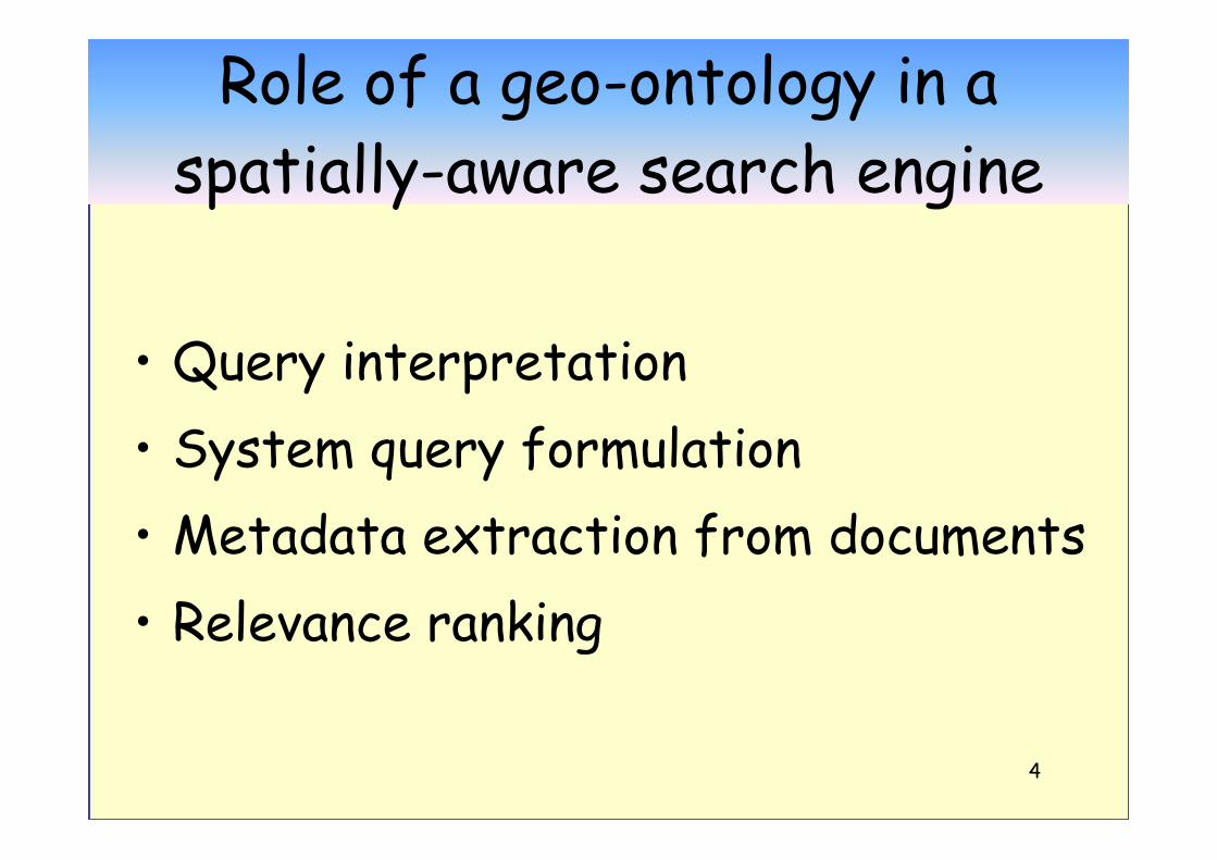
Role of a geo-ontology in aspatially-aware search engine
• Query interpretation• System query formulation• Metadata extraction from documents• Relevance ranking

5
Query interpretationAssume query of form:
Something Related-to SomewhereRelated-to = spatial relationship
e.g. in, near, north, X km from,…..
• Disambiguation of somewhere
• Feedback on spatial extent of SomewhereBased on analysis ofrelated-to Somewhere
• Recognition of geo-termsin free text query

6
System Query Formulation
• Generate query footprint– from related-to + somewhere
or• Generate expanded set of geographical
query terms– Alternative names– Parent places, contained places from
hierarchy– Neighbouring places

7
Document analysis / annotation
• Recognise place names and spatialrelationships in documents
• Generate document footprint(s) fromanalysis of geographical terminology
(for purposes of spatial indexing)• Generate geographical metadata for
document

8
Geographical relevance ranking• Determine “distance” between geographical query
expression (related-to somewhere) andgeographical context of document.
• Compare query footprint with document footprint geometric distance/degree of overlap
Gets complicated with direction relations.
• Combine geographical relevance with thematicrelevance.
DQ

9
SPIRIT architecture

10
Design considerations
• Components of geo-ontology• Granularity of footprints• Integrity / consistency maintenance
11
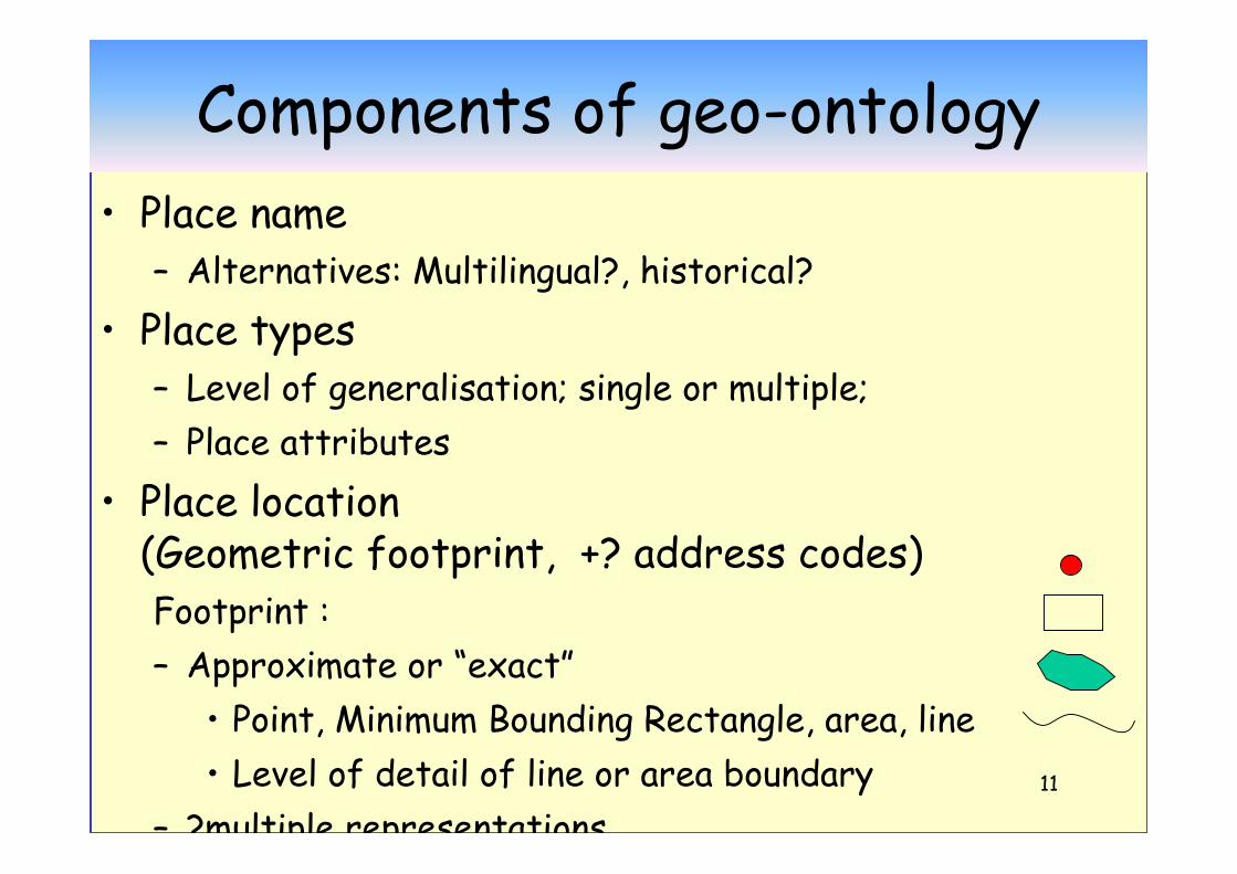
Components of geo-ontology• Place name
– Alternatives: Multilingual?, historical?• Place types
– Level of generalisation; single or multiple;– Place attributes
• Place location(Geometric footprint, +? address codes)Footprint :– Approximate or “exact”
• Point, Minimum Bounding Rectangle, area, line• Level of detail of line or area boundary
– ?multiple representations
12
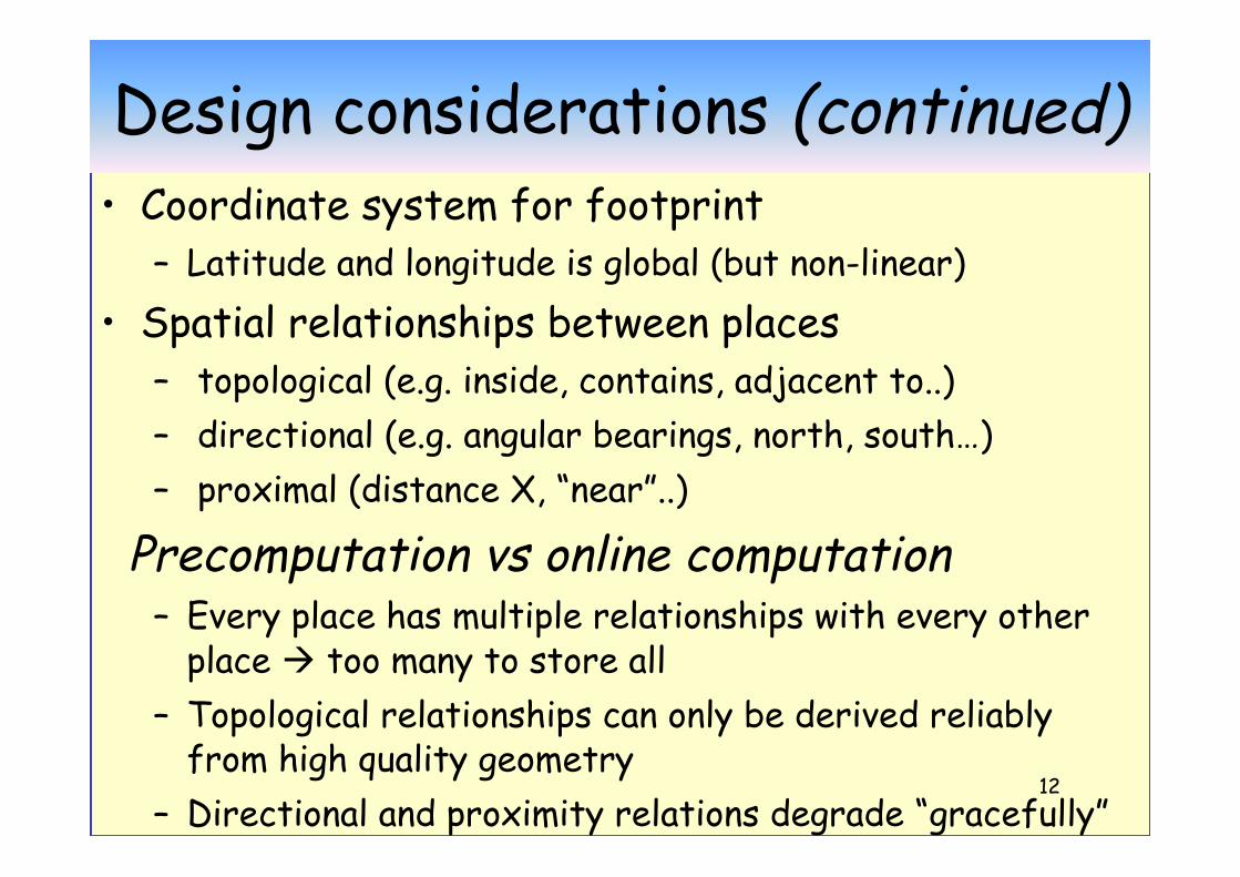
Design considerations (continued)• Coordinate system for footprint
– Latitude and longitude is global (but non-linear)• Spatial relationships between places
– topological (e.g. inside, contains, adjacent to..)– directional (e.g. angular bearings, north, south…)– proximal (distance X, “near”..)
Precomputation vs online computation– Every place has multiple relationships with every other
place too many to store all– Topological relationships can only be derived reliably
from high quality geometry– Directional and proximity relations degrade “gracefully”
with decreasing quality geometry

13
The SPIRIT Geographical Ontology
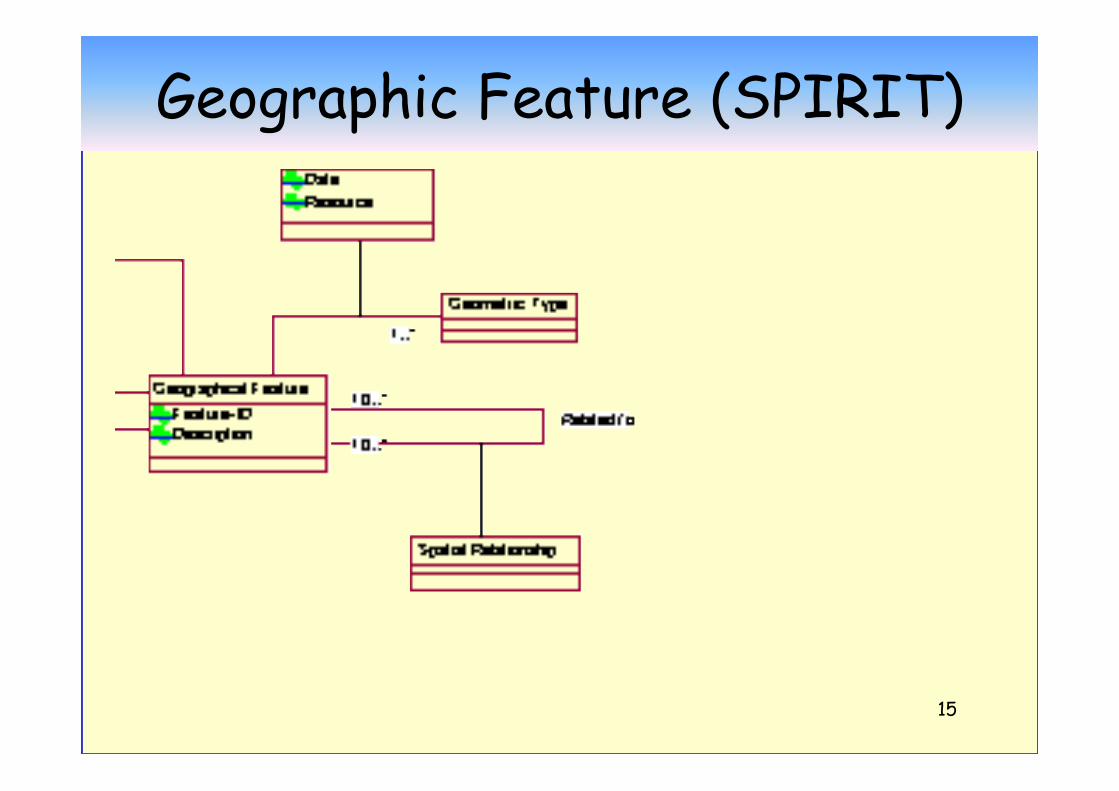
Geographical FeatureGeographical Feature Type Spatial Relationship
Geographical Feature OntologyGeographical Feature Type Ontology
Geographical Ontology
Spatial Relationship Ontology
14
Geographic Feature Types
15
Geographic Feature (SPIRIT)

16
Spatial Relationships between Features

17
Integrity / consistency control
Type / instance level:E.g• Valid type• Mandatory properties present;• Value range constraints;• Cardinality constraints; etc
can use DAML-OIL validator

18
Spatial consistency rule examplesIF Place A is inside Place B [spatial relationship]
then MBR(A) inside MBR(B) [geometric test][MBR = minimum bounding
rectangle for footprint ]
IF (A inside B)then not (A adjacent-to B) and not (A overlaps B)
IF (A inside B) and (B inside C) then (A inside C)
IF (A bigger-than B) then not (A inside B)

19
Instance Database Management
• Queries to a search engine geo-ontologyneed to support spatial queries and spatialoperators
e.g. Inside, crossing, north-of, within-distance, area, length
Currently using Oracle Spatial which hasspatial indexing and some spatial querysupport
20
Populating / building the geo-ontologySources of geo-data:• Gazetteers• Geographic thesauri (TGN)• Digital Maps
Footprints and Spatial relationships can be derivedfrom detailed digital map data;
--Containment relations derivable from someaddress and gazetteer data.
Problems of different feature type classifications,levels of detail, error, coordinate systems….

21
Future work on SPIRIT geo-ontology
• What is appropriate level of geometric detail offootprints?– ? Multiresolution storage/access methods
• What is the best set of spatial relationships tostore (vs online computation) ?
• Validation of consistency of spatial relationships• Representation of imprecise places (e.g. “Midlands”,
“Borders”, “south of France”…..)• Data integration and distributed architectures for
global geo-ontologies