Embed Size (px)
Citation preview
Learning The Learning The Fifty StatesFifty States
By Michael FryeBy Michael Frye
Analyze LearnersAnalyze Learners
This is a fifth grade lesson plan. The This is a fifth grade lesson plan. The majority of students involved should majority of students involved should be ten or eleven years old. be ten or eleven years old.
It is a general lesson plan for a It is a general lesson plan for a general, diverse class that will cover general, diverse class that will cover lessons in geography, history, and lessons in geography, history, and also features some computer also features some computer elements. elements.
State ObjectivesState Objectives SS.5.4.4 SS.5.4.4 Locate, identify and contrast the Locate, identify and contrast the
major rivers, landforms, natural resources, major rivers, landforms, natural resources, climate regions, major soil regions and climate regions, major soil regions and deserts of the United States. deserts of the United States.
SS.5.4.3 SS.5.4.3 Use a map to locate a country by Use a map to locate a country by hemisphere and its proximity to the equator. hemisphere and its proximity to the equator.
SS.5.4.6SS.5.4.6 Discuss and define the various Discuss and define the various regions of the United States. regions of the United States.
SS.5.4.7SS.5.4.7 Identify and locate each of the fifty Identify and locate each of the fifty United States within their regions. United States within their regions.
TEC.5.3.3 TEC.5.3.3 Begin to use presentation Begin to use presentation software; use design template to create a software; use design template to create a minimum of 3 slides.minimum of 3 slides.
Select Media and Select Media and MaterialMaterial
Blank US Maps http://images.google.com/images?Blank US Maps http://images.google.com/images?q=blank+us+maps&hl=en&safe=off&client=firefox-q=blank+us+maps&hl=en&safe=off&client=firefox-a&channel=s&rls=org.mozilla:en-a&channel=s&rls=org.mozilla:en-US:official&hs=9XD&sa=X&oi=images&ct=titleUS:official&hs=9XD&sa=X&oi=images&ct=title
““Fifty Nifty United States” song and lyric handoutsFifty Nifty United States” song and lyric handouts http://www.teridanielsbooks.com/fiftyniftysong.htmhttp://www.teridanielsbooks.com/fiftyniftysong.htm
A Globe and maps for reference and latitude/longitudeA Globe and maps for reference and latitude/longitude Resource sites for states and state histories Resource sites for states and state histories
http://dir.yahoo.com/Arts/Humanities/History/By_Regihttp://dir.yahoo.com/Arts/Humanities/History/By_Region/U_S__States/ and on/U_S__States/ and http://www.americaslibrary.gov/cgi-bin/page.cgi/eshttp://www.americaslibrary.gov/cgi-bin/page.cgi/es
United States Facts and StatisticsUnited States Facts and Statistics ((
http://www.teachervision.fen.com/usa/demography/23http://www.teachervision.fen.com/usa/demography/2383.html83.html) )
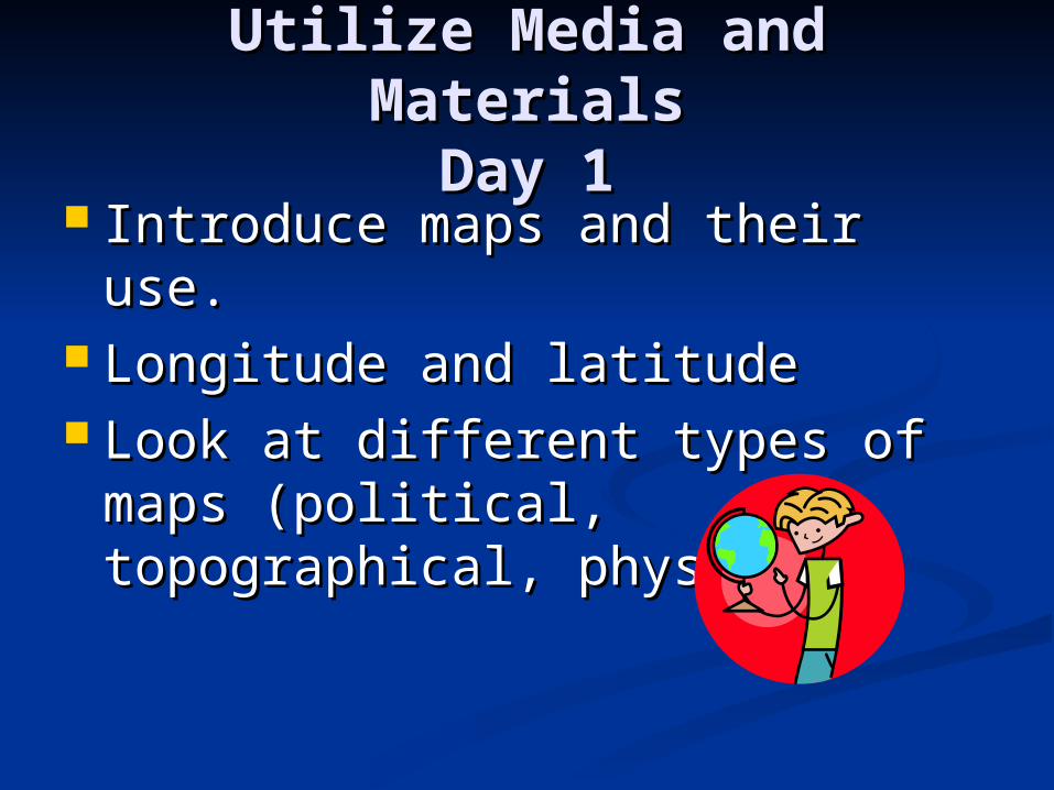
Utilize Media and MaterialsUtilize Media and MaterialsDay 1Day 1
Introduce maps and their use.Introduce maps and their use. Longitude and latitudeLongitude and latitude Look at different types of maps Look at different types of maps
(political, topographical, (political, topographical, physical)physical)
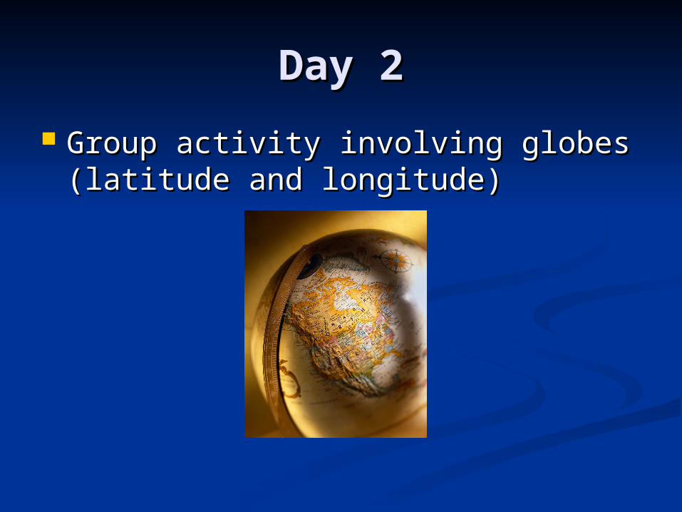
Day 2Day 2
Group activity involving globes Group activity involving globes (latitude and longitude)(latitude and longitude)
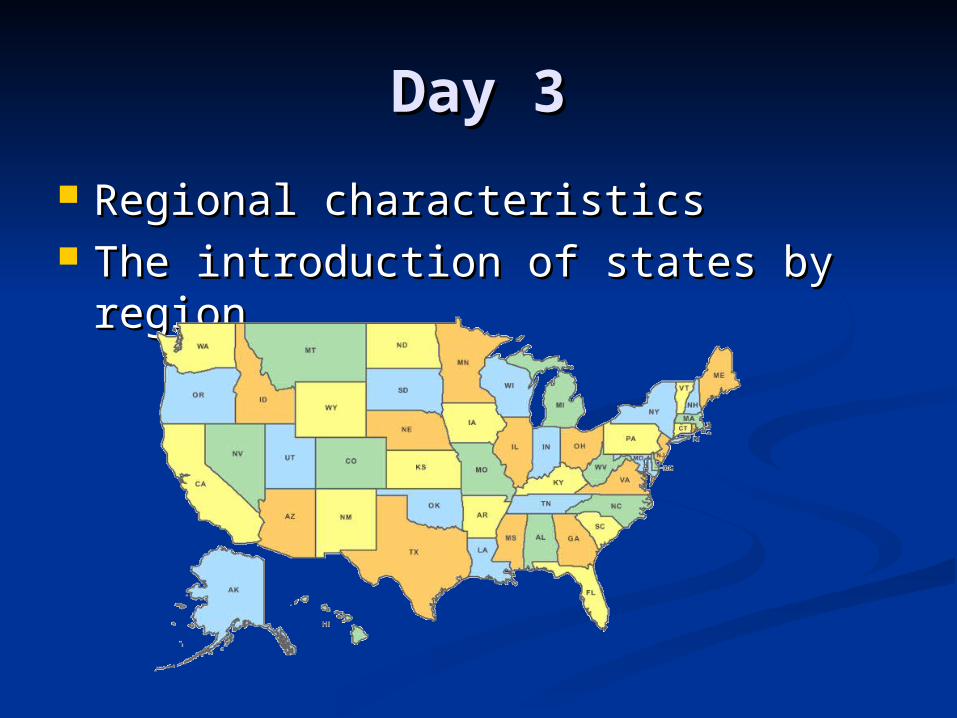
Day 3Day 3
Regional characteristicsRegional characteristics The introduction of states by regionThe introduction of states by region
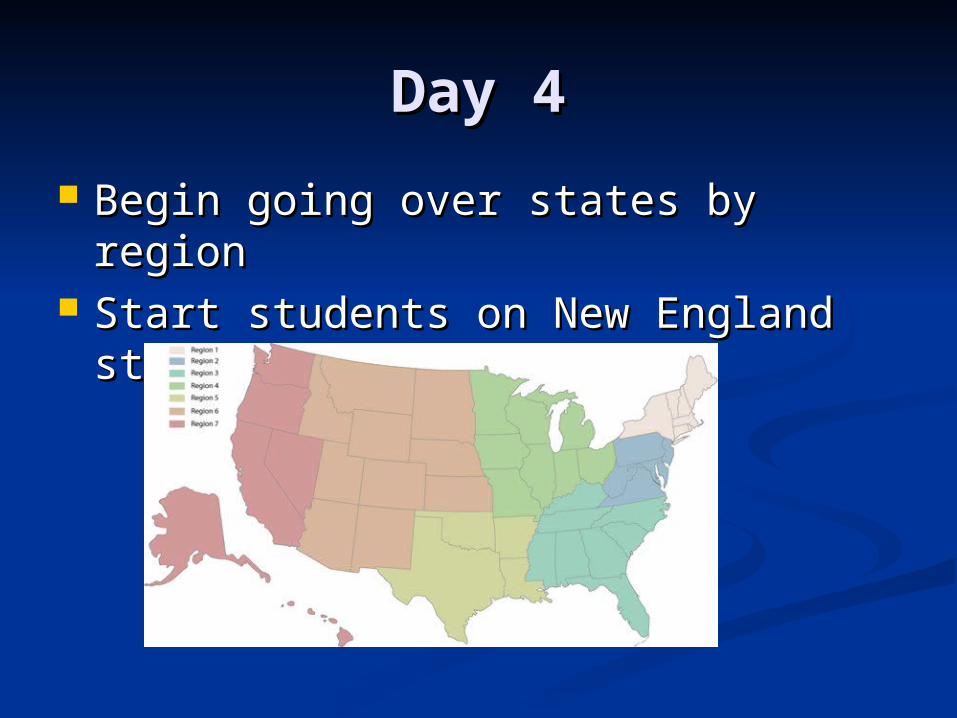
Day 4Day 4
Begin going over states by regionBegin going over states by region Start students on New England Start students on New England
statesstates
Day 5Day 5
Play the “Fifty Nifty United States” Play the “Fifty Nifty United States” song as regions are still reviewed for song as regions are still reviewed for a “state bee” to be conducted on the a “state bee” to be conducted on the next day.next day.
Play Song
Day 6Day 6
The “State Bee” is conductedThe “State Bee” is conducted Ten bonus points are given to the Ten bonus points are given to the
winnerwinner
Day 7Day 7
Introduction of three slide minimum Introduction of three slide minimum PowerPoint projectPowerPoint project
Introduce and help students with Introduce and help students with PowerPoint as they get acquainted PowerPoint as they get acquainted with it.with it.
Day 8Day 8
Dedicate class time for students to Dedicate class time for students to work on their PowerPoints.work on their PowerPoints.
Offer guidance, suggestions, and Offer guidance, suggestions, and provided resource links to help them provided resource links to help them get info for their state.get info for their state.
Day 9Day 9
Devote more time for students to Devote more time for students to finish their PowerPoints.finish their PowerPoints.
Help any students struggling or Help any students struggling or finishing latefinishing late
Perhaps take volunteers for who Perhaps take volunteers for who wants to present firstwants to present first
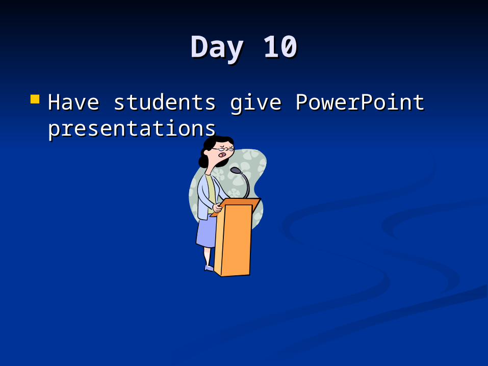
Day 10Day 10
Have students give PowerPoint Have students give PowerPoint presentationspresentations
Require Learner Require Learner ParticipationParticipation
Using competitive games to help Using competitive games to help with map/globe usewith map/globe use
Have fun, computer oriented Have fun, computer oriented projects and song to help with state projects and song to help with state memorizationmemorization
Incorporate presentations to also Incorporate presentations to also give the students a chance to have give the students a chance to have their own inputtheir own input
Evaluate and ReviseEvaluate and Revise
Map introduction, locationMap introduction, location Latitude and longitude exerciseLatitude and longitude exercise Region characteristics and Region characteristics and
states by region (states by region (“state bee” “state bee” assessment)assessment)
State location through map useState location through map use PowerPoint projectsPowerPoint projects
(presentation assessment)(presentation assessment)