Embed Size (px)
DESCRIPTION
LAI Intercomparison workshop III Missoula Montana 16 August 2004 Jeff Morisette [email protected], (301) 614-6676. Acknowledgements. Jaime Nickeson and Youngee Cho for meeting preparation and planning - PowerPoint PPT Presentation
Citation preview
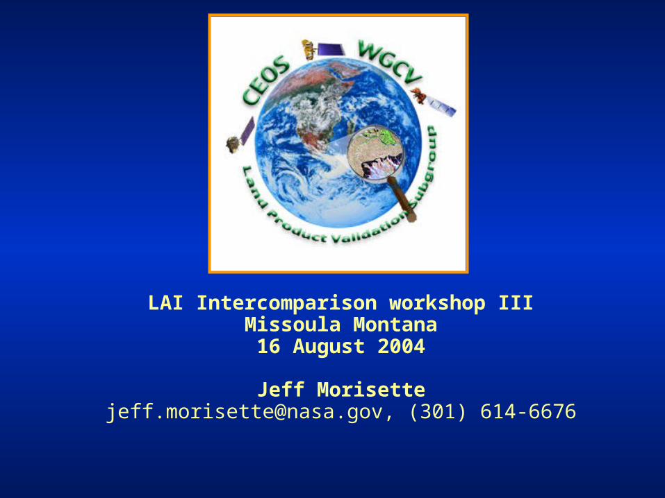
LAI Intercomparison workshop IIIMissoula Montana
16 August 2004
Jeff [email protected], (301) 614-6676
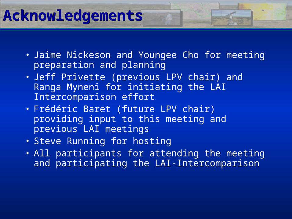
AcknowledgementsAcknowledgements
• Jaime Nickeson and Youngee Cho for meeting preparation and planning
• Jeff Privette (previous LPV chair) and Ranga Myneni for initiating the LAI Intercomparison effort
• Frédéric Baret (future LPV chair) providing input to this meeting and previous LAI meetings
• Steve Running for hosting• All participants for attending the meeting and
participating the LAI-Intercomparison
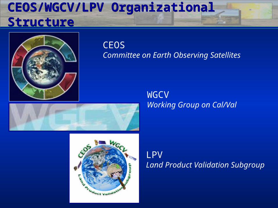
CEOS/WGCV/LPV Organizational StructureCEOS/WGCV/LPV Organizational Structure
CEOSCommittee on Earth Observing Satellites
WGCVWorking Group on Cal/Val
LPVLand Product Validation Subgroup
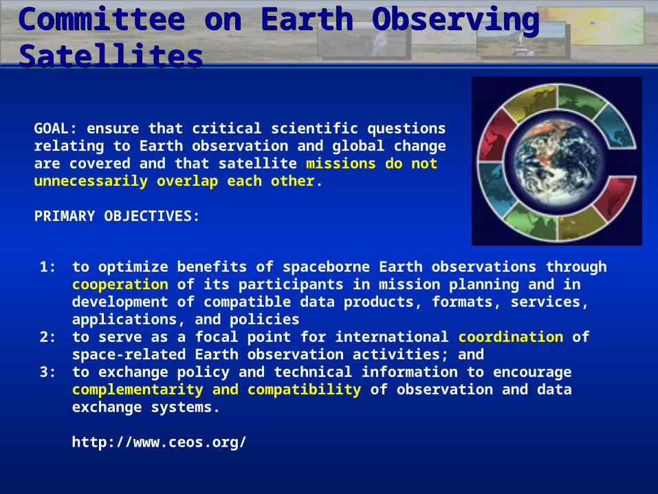
GOAL: ensure that critical scientific questions relating to Earth observation and global change are covered and that satellite missions do not unnecessarily overlap each other.
PRIMARY OBJECTIVES:
Committee on Earth Observing SatellitesCommittee on Earth Observing Satellites
1: to optimize benefits of spaceborne Earth observations through cooperation of its participants in mission planning and in development of compatible data products, formats, services, applications, and policies
2: to serve as a focal point for international coordination of space-related Earth observation activities; and
3: to exchange policy and technical information to encourage complementarity and compatibility of observation and data exchange systems.
http://www.ceos.org/
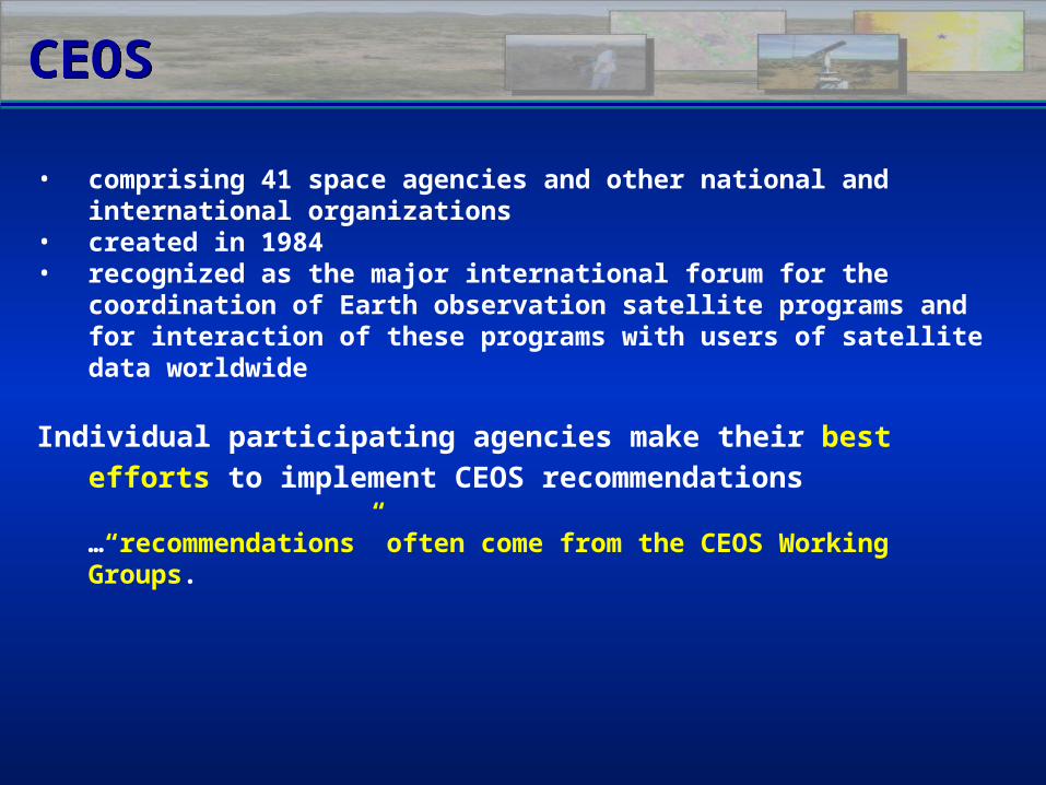
CEOSCEOS
• comprising 41 space agencies and other national and international organizations
• created in 1984• recognized as the major international forum for the
coordination of Earth observation satellite programs and for interaction of these programs with users of satellite data worldwide
Individual participating agencies make their best efforts to implement CEOS recommendations
…“recommendations” often come from the CEOS Working Groups.
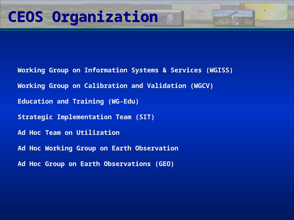
Working Group on Information Systems & Services (WGISS)
Working Group on Calibration and Validation (WGCV)
Education and Training (WG-Edu)
Strategic Implementation Team (SIT)
Ad Hoc Team on Utilization
Ad Hoc Working Group on Earth Observation
Ad Hoc Group on Earth Observations (GEO)
CEOS OrganizationCEOS Organization
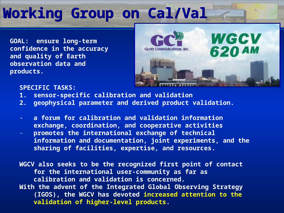
Working Group on Cal/ValWorking Group on Cal/Val
GOAL: ensure long-term confidence in the accuracy and quality of Earth observation data and products.
SPECIFIC TASKS:1. sensor-specific calibration and validation2. geophysical parameter and derived product validation. - a forum for calibration and validation information exchange,
coordination, and cooperative activities- promotes the international exchange of technical
information and documentation, joint experiments, and the sharing of facilities, expertise, and resources.
WGCV also seeks to be the recognized first point of contact for the international user-community as far as calibration and validation is concerned.
With the advent of the Integrated Global Observing Strategy (IGOS), the WGCV has devoted increased attention to the validation of higher-level products.
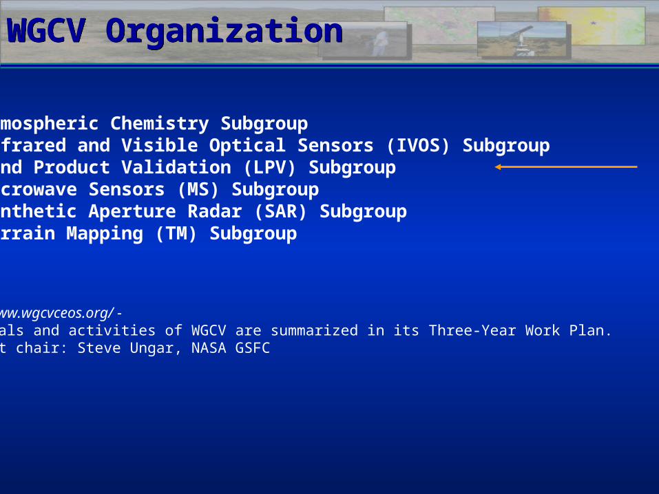
WGCV OrganizationWGCV Organization
• Atmospheric Chemistry Subgroup • Infrared and Visible Optical Sensors (IVOS) Subgroup • Land Product Validation (LPV) Subgroup• Microwave Sensors (MS) Subgroup• Synthetic Aperture Radar (SAR) Subgroup• Terrain Mapping (TM) Subgroup
http://www.wgcvceos.org/ - The goals and activities of WGCV are summarized in its Three-Year Work Plan. Current chair: Steve Ungar, NASA GSFC
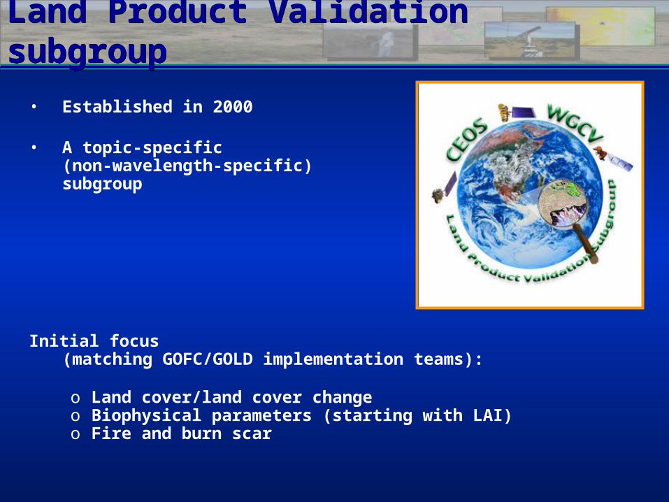
Land Product Validation subgroupLand Product Validation subgroup
Initial focus (matching GOFC/GOLD implementation teams):
o Land cover/land cover changeo Biophysical parameters (starting with LAI)o Fire and burn scar
• Established in 2000
• A topic-specific (non-wavelength-specific) subgroup
Big PictureBig Picture
LPV provides a validation service to the Integrated Global Observation Strategy (IGOS)
– Global Terrestrial Observation System• Terrestrial Observation Panel for Climate (TOPC)• Global Observation of Forest Cover/Land Dynamics
– Global Carbon Observing System
Implications:– Focus Products: Biophysical, Land Cover, Fire Disturbance, & Albedo– Working in conjunction with GOFC/GOLD’s regional networks– Opportunity/Need to integrate with
TEMS, GT-Net, & UN’s GLC-net
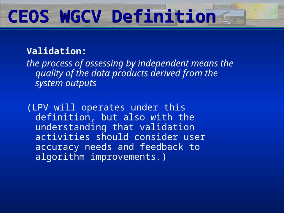
Validation:the process of assessing by independent
means the quality of the data products derived from the system outputs
(LPV will operates under this definition, but also with the understanding that validation activities should consider user accuracy needs and feedback to algorithm improvements.)
CEOS WGCV DefinitionCEOS WGCV Definition
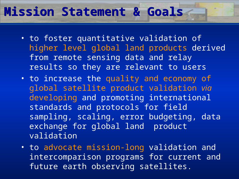
Mission Statement & GoalsMission Statement & Goals
• to foster quantitative validation of higher level global land products derived from remote sensing data and relay results so they are relevant to users
• to increase the quality and economy of global satellite product validation via developing and promoting international standards and protocols for field sampling, scaling, error budgeting, data exchange for global land product validation
• to advocate mission-long validation and intercomparison programs for current and future earth observing satellites.
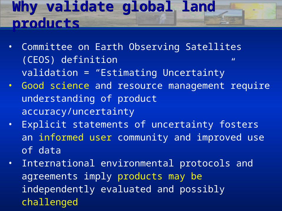
Why validate global land productsWhy validate global land products
• Committee on Earth Observing Satellites (CEOS) definition validation = “Estimating Uncertainty”
• Good science and resource management require understanding of product accuracy/uncertainty
• Explicit statements of uncertainty fosters an informed user community and improved use of data
• International environmental protocols and agreements imply products may be independently evaluated and possibly challenged
• As more, and similar, global products are produced by NASA & other CEOS members, inter-use will require characterization of each product’s uncertainty
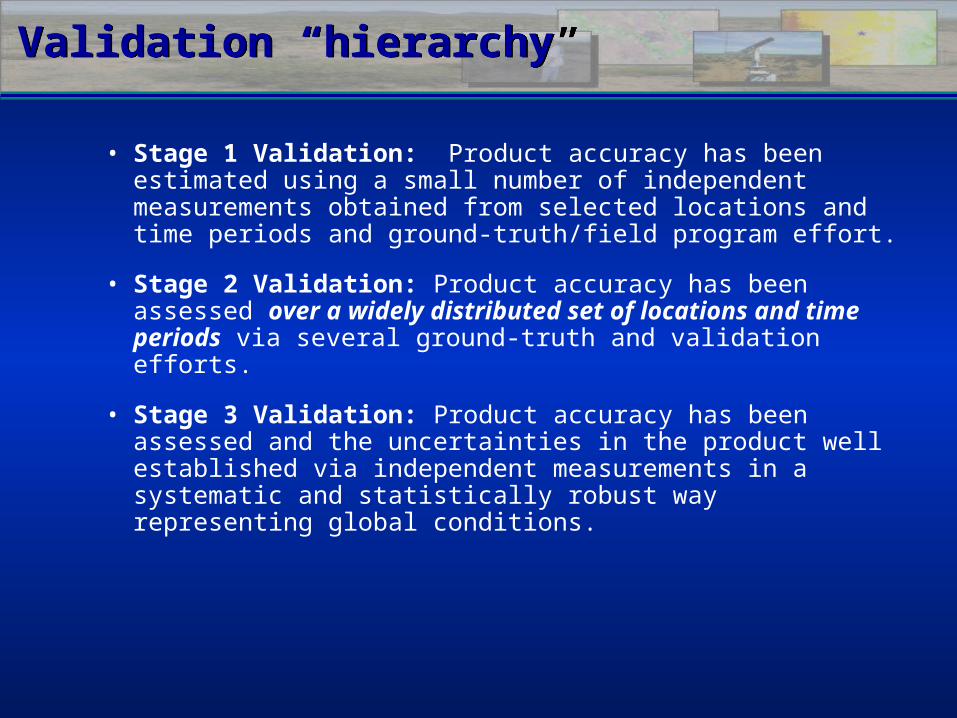
Validation “hierarchy”Validation “hierarchy”
• Stage 1 Validation: Product accuracy has been estimated using a small number of independent measurements obtained from selected locations and time periods and ground-truth/field program effort.
• Stage 2 Validation: Product accuracy has been assessed over a widely distributed set of locations and time periods via several ground-truth and validation efforts.
• Stage 3 Validation: Product accuracy has been assessed and the uncertainties in the product well established via independent measurements in a systematic and statistically robust way representing global conditions.
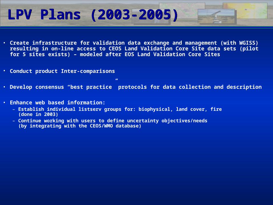
LPV Plans (2003-2005)LPV Plans (2003-2005)
• Create infrastructure for validation data exchange and management (with WGISS) resulting in on-line access to CEOS Land Validation Core Site data sets (pilot for 5 sites exists) – modeled after EOS Land Validation Core Sites
• Conduct product Inter-comparisons
• Develop consensus “best practice” protocols for data collection and description
• Enhance web based information:– Establish individual listserv groups for: biophysical, land cover, fire
(done in 2003)– Continue working with users to define uncertainty objectives/needs
(by integrating with the CEOS/WMO database)
LPV Plans (2003-2005)LPV Plans (2003-2005)
• Create infrastructure for validation data exchange and management (with WGISS) resulting in Create infrastructure for validation data exchange and management (with WGISS) resulting in on-line access to CEOS Land Validation Core Site data sets (pilot for 5 sites exists) – on-line access to CEOS Land Validation Core Site data sets (pilot for 5 sites exists) – modeled after EOS Land Validation Core Sitesmodeled after EOS Land Validation Core Sites
• Conduct product Inter-comparisons
• Develop consensus “best practice” protocols for data collection and descriptionDevelop consensus “best practice” protocols for data collection and description
• Enhance web based information:Enhance web based information:– Establish individual listserv groups for: biophysical, land cover, fire Establish individual listserv groups for: biophysical, land cover, fire
(done in 2003)(done in 2003)– Continue working with users to define uncertainty objectives/needsContinue working with users to define uncertainty objectives/needs
(by integrating with the CEOS/WMO database)(by integrating with the CEOS/WMO database)
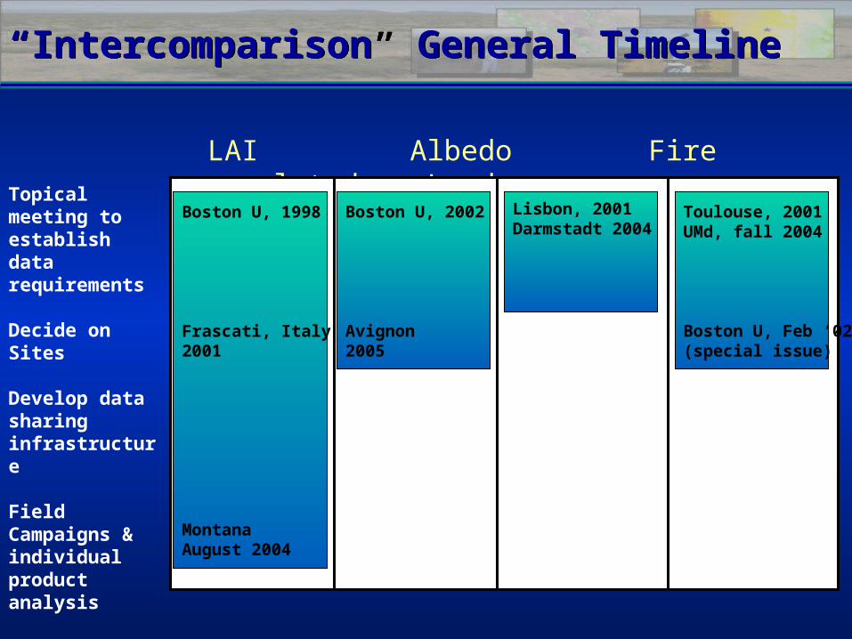
“Intercomparison” General Timeline“Intercomparison” General Timeline
LAI Albedo Fire related Land coverTopical meeting
to establish data requirements
Decide on Sites
Develop data sharing infrastructure
Field Campaigns & individual product analysis
Synthesis of results
Boston U, 1998
Frascati, Italy2001
MontanaAugust 2004
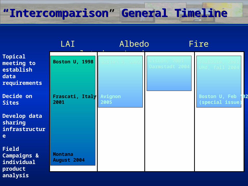
Boston U, 2002
Avignon2005
Lisbon, 2001Darmstadt 2004
Toulouse, 2001UMd, fall 2004
Boston U, Feb ‘02(special issue)
“Intercomparison” General Timeline“Intercomparison” General Timeline
LAI Albedo Fire related Land coverTopical meeting
to establish data requirements
Decide on Sites
Develop data sharing infrastructure
Field Campaigns & individual product analysis
Synthesis of results
Boston U, 1998
Frascati, Italy2001
MontanaAugust 2004
Boston U, 2002 Boston U, 2002
AvignonAvignon20052005
Lisbon, 2001Lisbon, 2001Darmstadt 2004 Darmstadt 2004
Toulouse, 2001Toulouse, 2001UMd, fall 2004UMd, fall 2004
Boston U, Feb ‘02Boston U, Feb ‘02(special issue)(special issue)
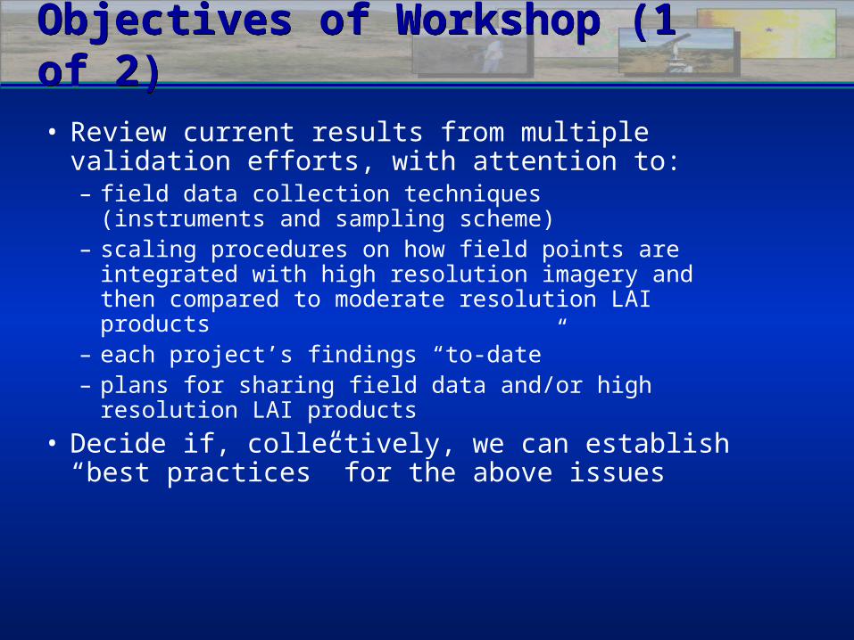
Objectives of Workshop (1 of 2)Objectives of Workshop (1 of 2)
• Review current results from multiple validation efforts, with attention to:– field data collection techniques
(instruments and sampling scheme)– scaling procedures on how field points are integrated
with high resolution imagery and then compared to moderate resolution LAI products
– each project’s findings “to-date”– plans for sharing field data and/or high resolution LAI
products
• Decide if, collectively, we can establish “best practices” for the above issues
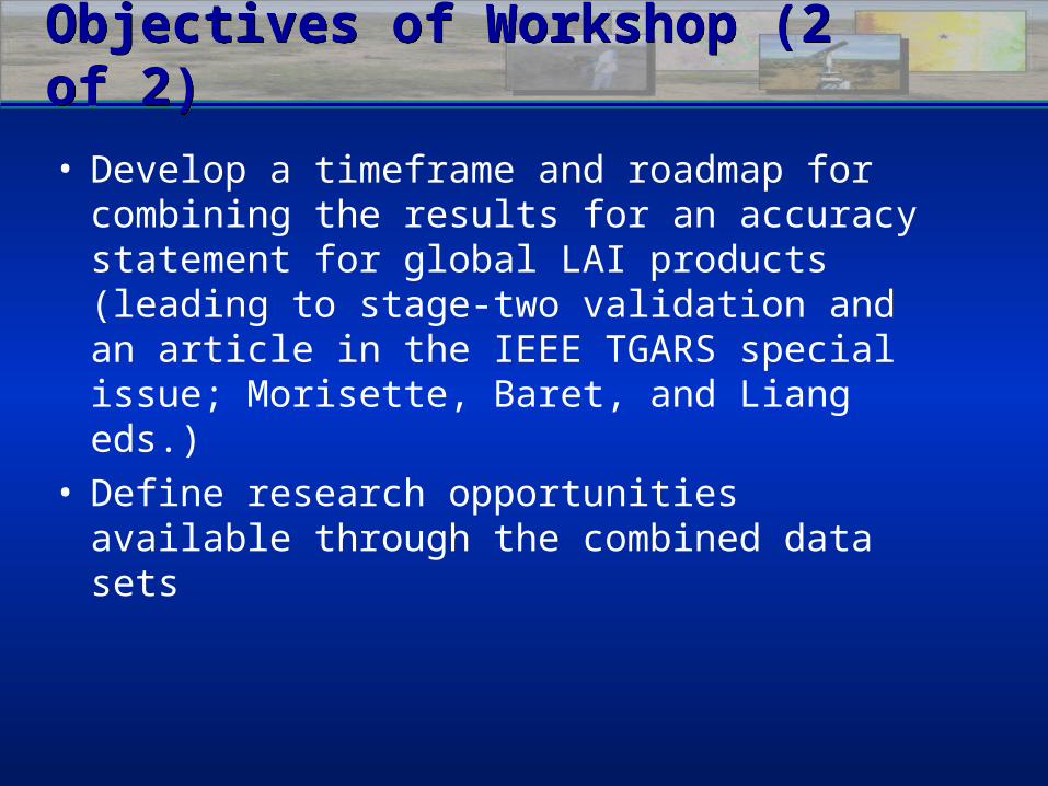
Objectives of Workshop (2 of 2)Objectives of Workshop (2 of 2)
• Develop a timeframe and roadmap for combining the results for an accuracy statement for global LAI products (leading to stage-two validation and an article in the IEEE TGARS special issue; Morisette, Baret, and Liang eds.)
• Define research opportunities available through the combined data sets
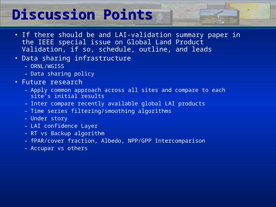
Discussion PointsDiscussion Points• If there should be and LAI-validation summary paper in the IEEE
special issue on Global Land Product Validation, if so, schedule, outline, and leads
• Data sharing infrastructure– ORNL/WGISS– Data sharing policy
• Future research– Apply common approach across all sites and compare to each site’s initial results– Inter compare recently available global LAI products– Time series filtering/smoothing algorithms– Under story– LAI confidence Layer– RT vs Backup algorithm– fPAR/cover fraction, Albedo, NPP/GPP Intercomparison– Accupar vs others
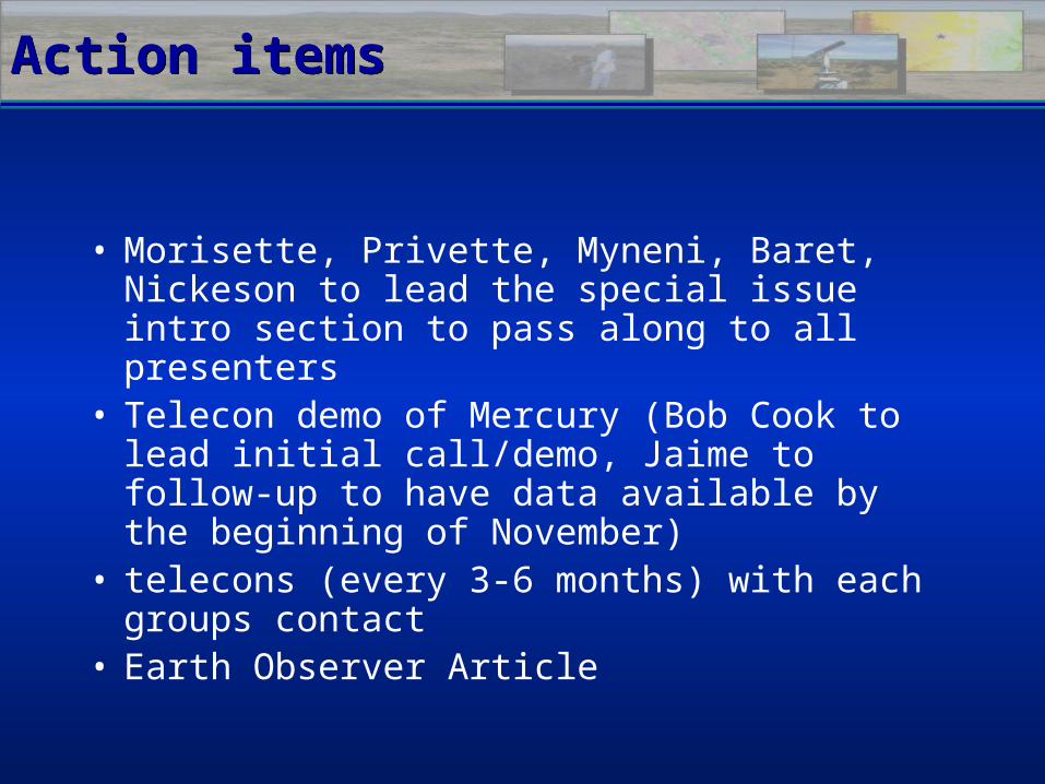
Action itemsAction items
• Morisette, Privette, Myneni, Baret, Nickeson to lead the special issue intro section to pass along to all presenters
• Telecon demo of Mercury (Bob Cook to lead initial call/demo, Jaime to follow-up to have data available by the beginning of November)
• telecons (every 3-6 months) with each groups contact
• Earth Observer Article
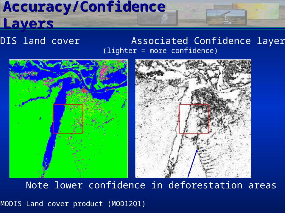
Accuracy/Confidence LayersAccuracy/Confidence Layers
MODIS Land cover product (MOD12Q1)
MODIS land cover Associated Confidence layer(lighter = more confidence)
Note lower confidence in deforestation areas
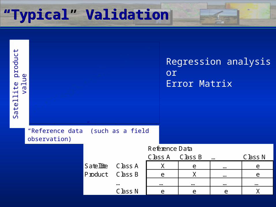
“Typical” Validation“Typical” Validation
60 70 80 90 100 110 120
b1
20
40
60
80
100
120
b3
“Reference data” (such as a field observation)
Sat
ellit
e pr
oduc
t va
lue
Reference DataClass A Class B … Class N
Satellite Class A X e … eProduct Class B e X … e
… … … … …Class N e e e X
Regression analysisorError Matrix
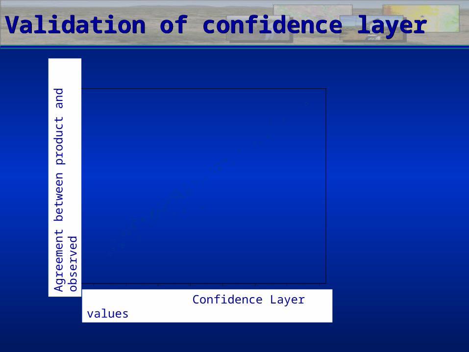
Validation of confidence layerValidation of confidence layer
40 50 60 70 80 90 100 110
b2
20
40
60
80
100
120
b3
Confidence Layer values
Agr
eem
ent
betw
een
prod
uct
and
obse
rved


![Alanis Morisette - That I Would Be Good [Transcription]](https://img.pdfslide.us/doc/110x75/577ce47d1a28abf1038e7753/alanis-morisette-that-i-would-be-good-transcription.jpg)