Embed Size (px)
Citation preview
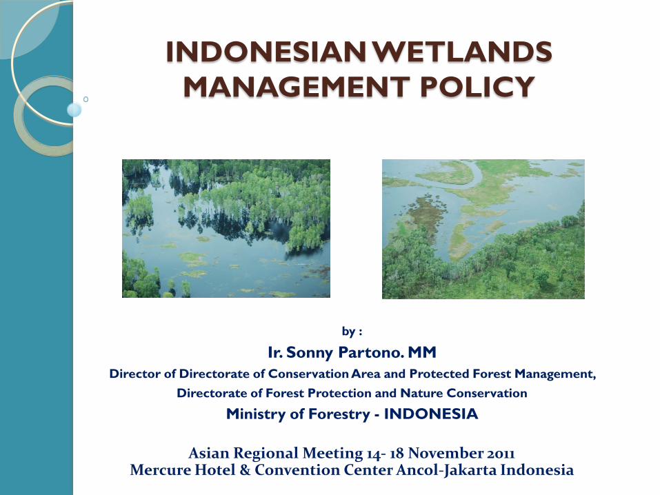
INDONESIAN WETLANDS MANAGEMENT POLICY
by :
Ir. Sonny Partono. MMDirector of Directorate of Conservation Area and Protected Forest Management,
Directorate of Forest Protection and Nature Conservation
Ministry of Forestry - INDONESIA
Asian Regional Meeting 14- 18 November 2011Mercure Hotel & Convention Center Ancol-Jakarta Indonesia
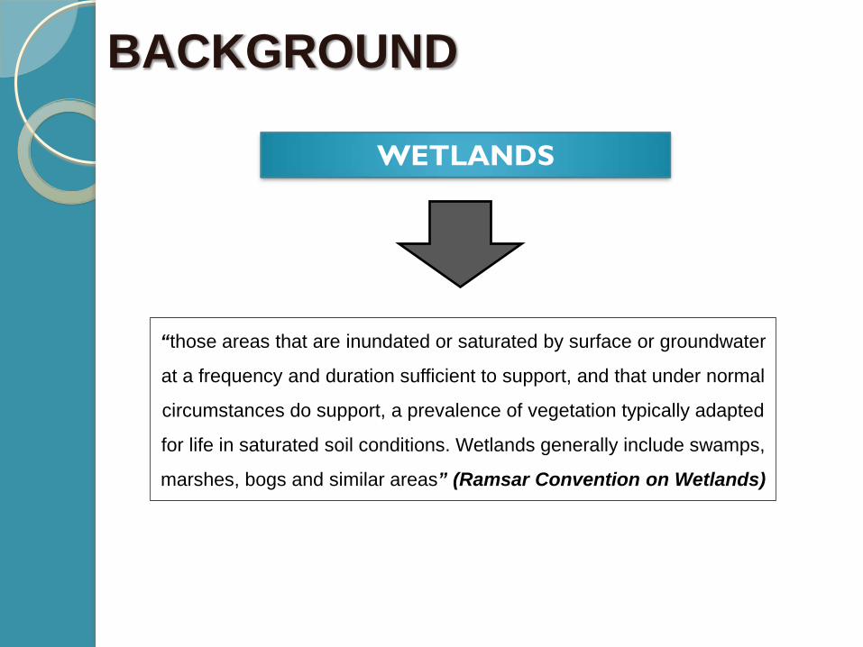
WETLANDS
“those areas that are inundated or saturated by surface or groundwater
at a frequency and duration sufficient to support, and that under normal
circumstances do support, a prevalence of vegetation typically adapted
for life in saturated soil conditions. Wetlands generally include swamps,
marshes, bogs and similar areas” (Ramsar Convention on Wetlands)
BACKGROUND
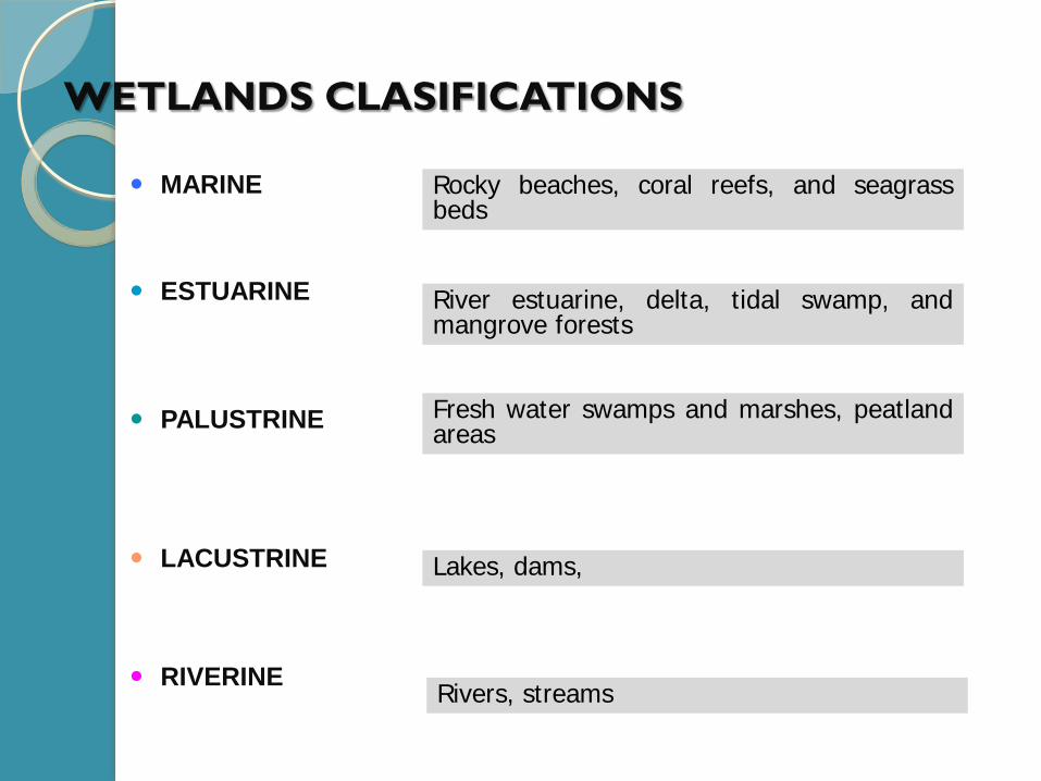
WETLANDS CLASIFICATIONS
MARINE Rocky beaches, coral reefs, and seagrassbeds
ESTUARINE River estuarine, delta, tidal swamp, andmangrove forests
PALUSTRINE Fresh water swamps and marshes, peatlandareas
LACUSTRINE Lakes, dams,
RIVERINERivers, streams
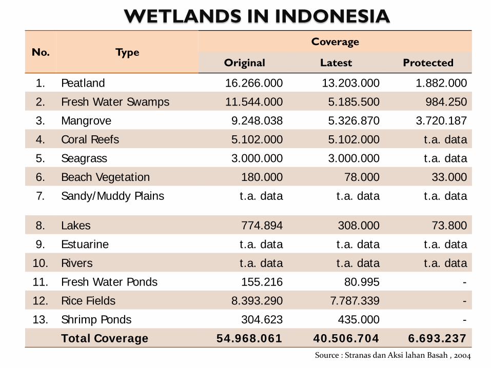
WETLANDS IN INDONESIA
No. TypeCoverage
Original Latest Protected
1. Peatland 16.266.000 13.203.000 1.882.000
2. Fresh Water Swamps 11.544.000 5.185.500 984.250
3. Mangrove 9.248.038 5.326.870 3.720.187
4. Coral Reefs 5.102.000 5.102.000 t.a. data
5. Seagrass 3.000.000 3.000.000 t.a. data
6. Beach Vegetation 180.000 78.000 33.000
7. Sandy/Muddy Plains t.a. data t.a. data t.a. data
8. Lakes 774.894 308.000 73.800
9. Estuarine t.a. data t.a. data t.a. data
10. Rivers t.a. data t.a. data t.a. data
11. Fresh Water Ponds 155.216 80.995 -
12. Rice Fields 8.393.290 7.787.339 -
13. Shrimp Ponds 304.623 435.000 -
Total Coverage 54.968.061 40.506.704 6.693.237Source : Stranas dan Aksi lahan Basah , 2004
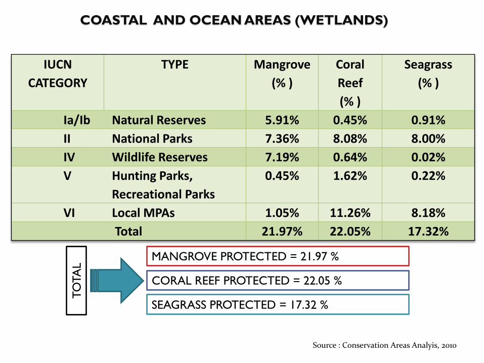
COASTAL AND OCEAN AREAS (WETLANDS)
IUCN CATEGORY
TYPE Mangrove(% )
Coral Reef(% )
Seagrass(% )
Ia/Ib Natural Reserves 5.91% 0.45% 0.91%II National Parks 7.36% 8.08% 8.00%IV Wildlife Reserves 7.19% 0.64% 0.02%V Hunting Parks,
Recreational Parks0.45% 1.62% 0.22%
VI Local MPAs 1.05% 11.26% 8.18%Total 21.97% 22.05% 17.32%
MANGROVE PROTECTED = 21.97 %
CORAL REEF PROTECTED = 22.05 %
SEAGRASS PROTECTED = 17.32 %
TOTA
L
Source : Conservation Areas Analyis, 2010
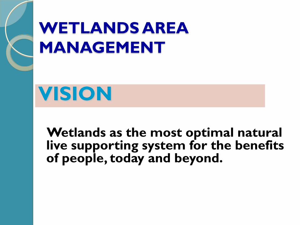
WETLANDS AREA MANAGEMENT
Wetlands as the most optimal natural live supporting system for the benefits of people, today and beyond.
VISION
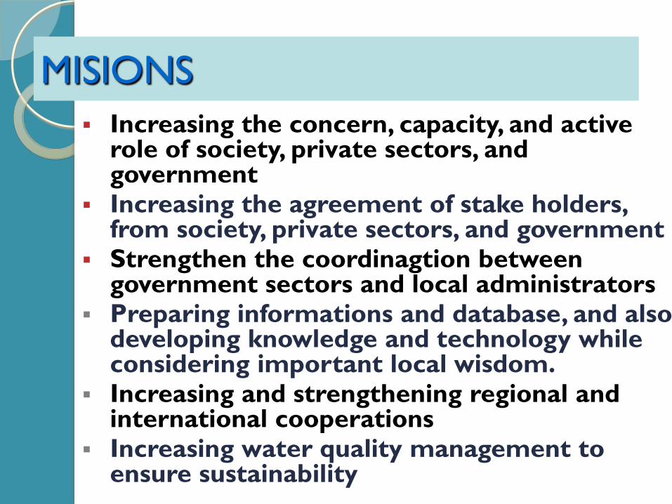
MISIONS Increasing the concern, capacity, and active
role of society, private sectors, and government
Increasing the agreement of stake holders, from society, private sectors, and government
Strengthen the coordinagtion between government sectors and local administrators
Preparing informations and database, and also developing knowledge and technology while considering important local wisdom.
Increasing and strengthening regional and international cooperations
Increasing water quality management to ensure sustainability
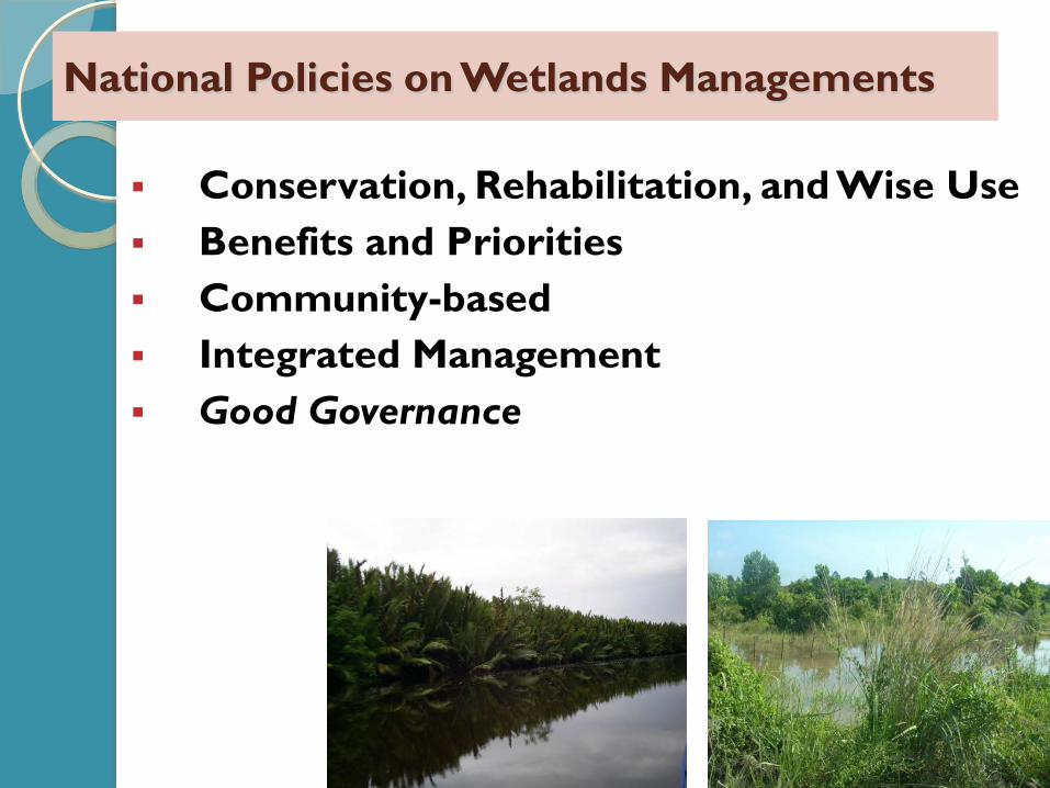
National Policies on Wetlands Managements
Conservation, Rehabilitation, and Wise Use Benefits and Priorities Community-based Integrated Management Good Governance
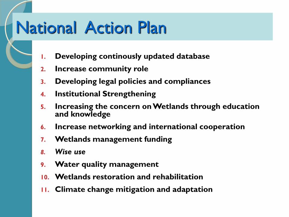
1. Developing continously updated database2. Increase community role3. Developing legal policies and compliances4. Institutional Strengthening5. Increasing the concern on Wetlands through education
and knowledge6. Increase networking and international cooperation7. Wetlands management funding8. Wise use
9. Water quality management10. Wetlands restoration and rehabilitation11. Climate change mitigation and adaptation
National Action Plan
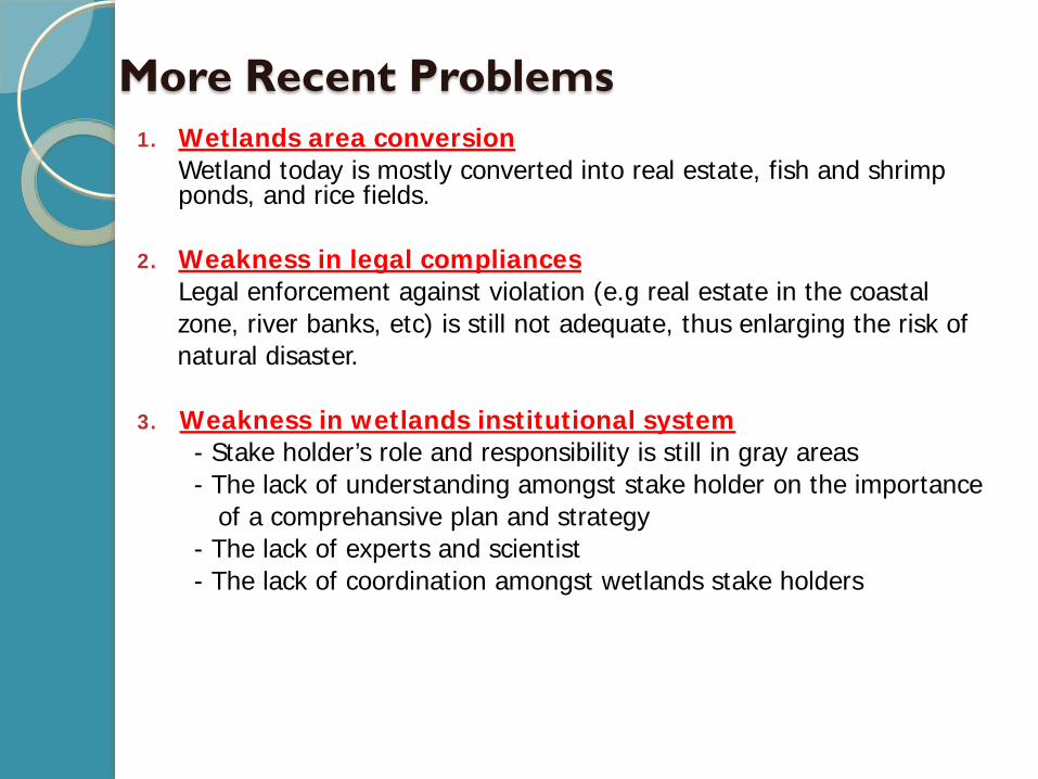
More Recent Problems1. Wetlands area conversion
Wetland today is mostly converted into real estate, fish and shrimp ponds, and rice fields.
2. Weakness in legal compliancesLegal enforcement against violation (e.g real estate in the coastal zone, river banks, etc) is still not adequate, thus enlarging the risk of natural disaster.
3. Weakness in wetlands institutional system- Stake holder’s role and responsibility is still in gray areas- The lack of understanding amongst stake holder on the importance
of a comprehansive plan and strategy- The lack of experts and scientist- The lack of coordination amongst wetlands stake holders
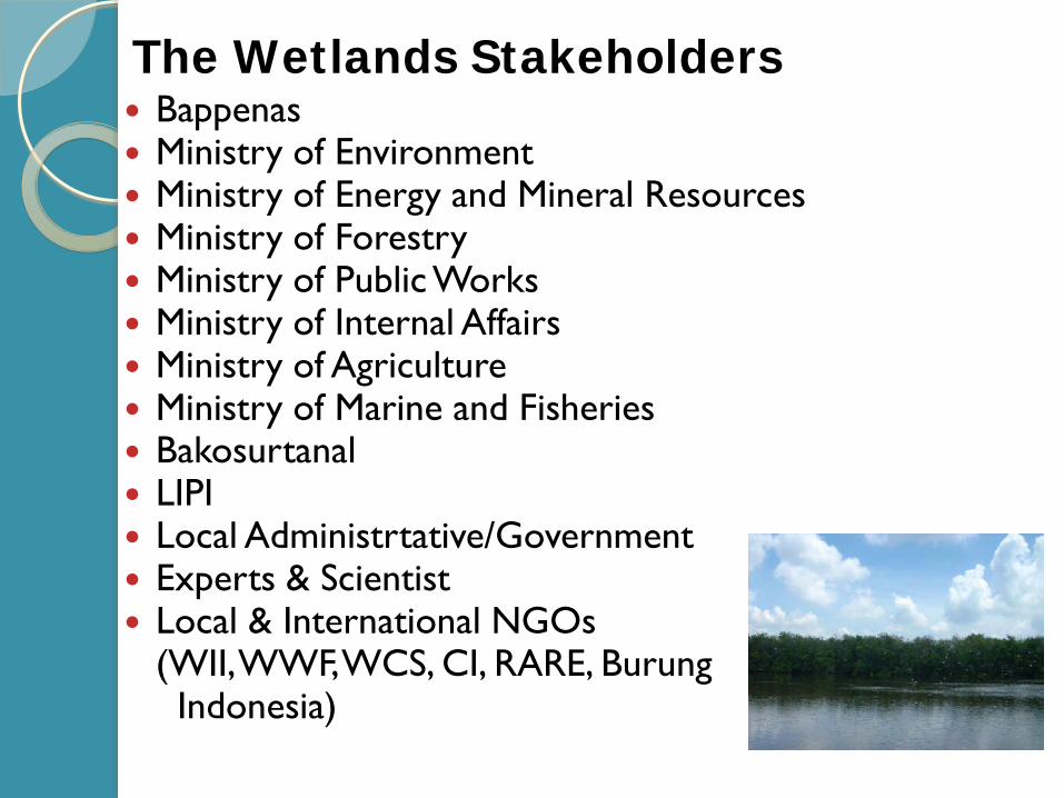
Bappenas Ministry of Environment Ministry of Energy and Mineral Resources Ministry of Forestry Ministry of Public Works Ministry of Internal Affairs Ministry of Agriculture Ministry of Marine and Fisheries Bakosurtanal LIPI Local Administrtative/Government Experts & Scientist Local & International NGOs
(WII, WWF, WCS, CI, RARE, BurungIndonesia)
The Wetlands Stakeholders
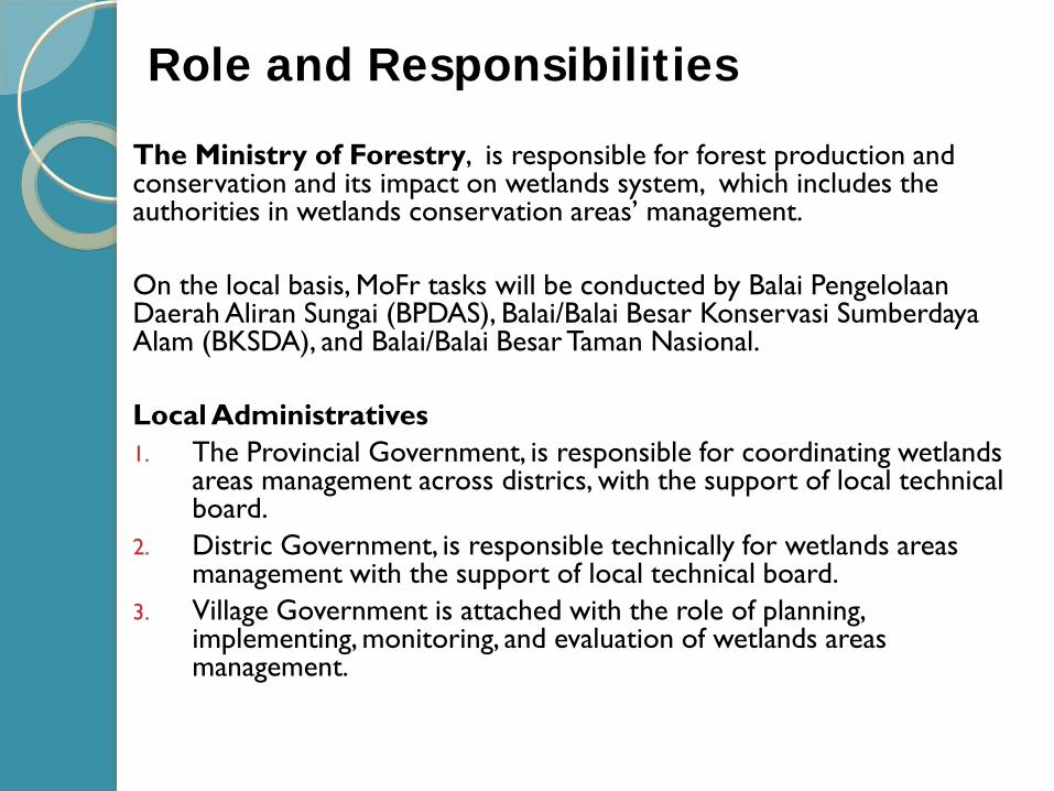
The Ministry of Forestry, is responsible for forest production and conservation and its impact on wetlands system, which includes the authorities in wetlands conservation areas’ management.
On the local basis, MoFr tasks will be conducted by Balai Pengelolaan Daerah Aliran Sungai (BPDAS), Balai/Balai Besar Konservasi Sumberdaya Alam (BKSDA), and Balai/Balai Besar Taman Nasional.
Local Administratives1. The Provincial Government, is responsible for coordinating wetlands
areas management across districs, with the support of local technical board.
2. Distric Government, is responsible technically for wetlands areas management with the support of local technical board.
3. Village Government is attached with the role of planning, implementing, monitoring, and evaluation of wetlands areas management.
Role and Responsibilities
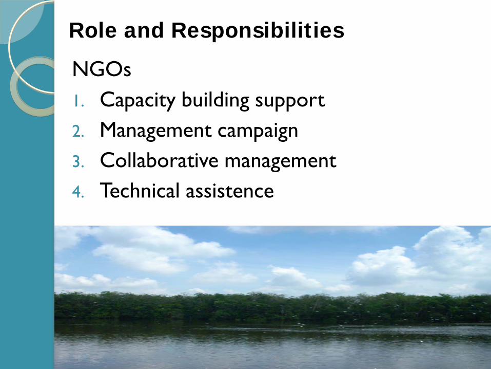
NGOs1. Capacity building support2. Management campaign3. Collaborative management4. Technical assistence
Role and Responsibilities
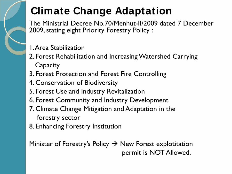
The Ministrial Decree No.70/Menhut-II/2009 dated 7 December 2009, stating eight Priority Forestry Policy :
1. Area Stabilization2. Forest Rehabilitation and Increasing Watershed Carrying
Capacity3. Forest Protection and Forest Fire Controlling4. Conservation of Biodiversity5. Forest Use and Industry Revitalization6. Forest Community and Industry Development7. Climate Change Mitigation and Adaptation in the
forestry sector8. Enhancing Forestry Institution
Minister of Forestry’s Policy New Forest explotitation permit is NOT Allowed.
Climate Change Adaptation

INDONESIAN RAMSAR SITES
LOCATIONS :
Danau Sentarum NP,Kalimantan Barat, 80.000 ha, 1994Berbak NP, Jambi, 162.700 ha , 1992Wasur NP,Papua, 413.810 ha, 2006Sembilang NP, Sumatera Selatan, 202.896 Ha, 6-3-2011Rawa Aopa Watumohai NP, Sulawesi Tenggara, 105.194 ha, 6-3-2011Pulau Rambut Wildlife Reserve, DKI Jakarta, 90 Ha
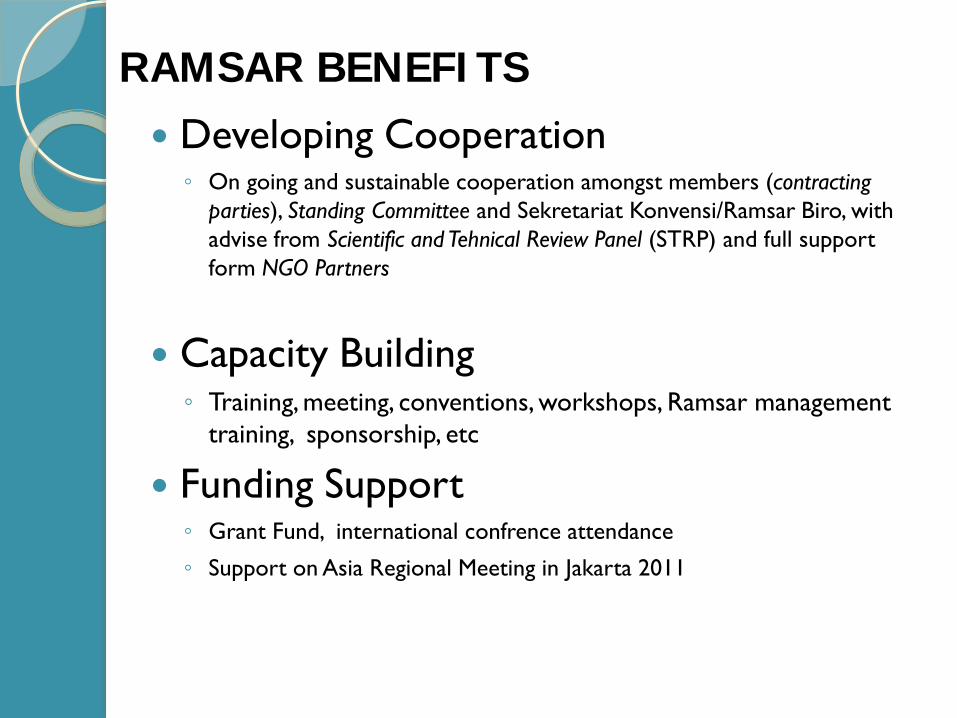
Developing Cooperation◦ On going and sustainable cooperation amongst members (contracting
parties), Standing Committee and Sekretariat Konvensi/Ramsar Biro, with advise from Scientific and Tehnical Review Panel (STRP) and full support form NGO Partners
Capacity Building◦ Training, meeting, conventions, workshops, Ramsar management
training, sponsorship, etc
Funding Support◦ Grant Fund, international confrence attendance
◦ Support on Asia Regional Meeting in Jakarta 2011
RAMSAR BENEFITS
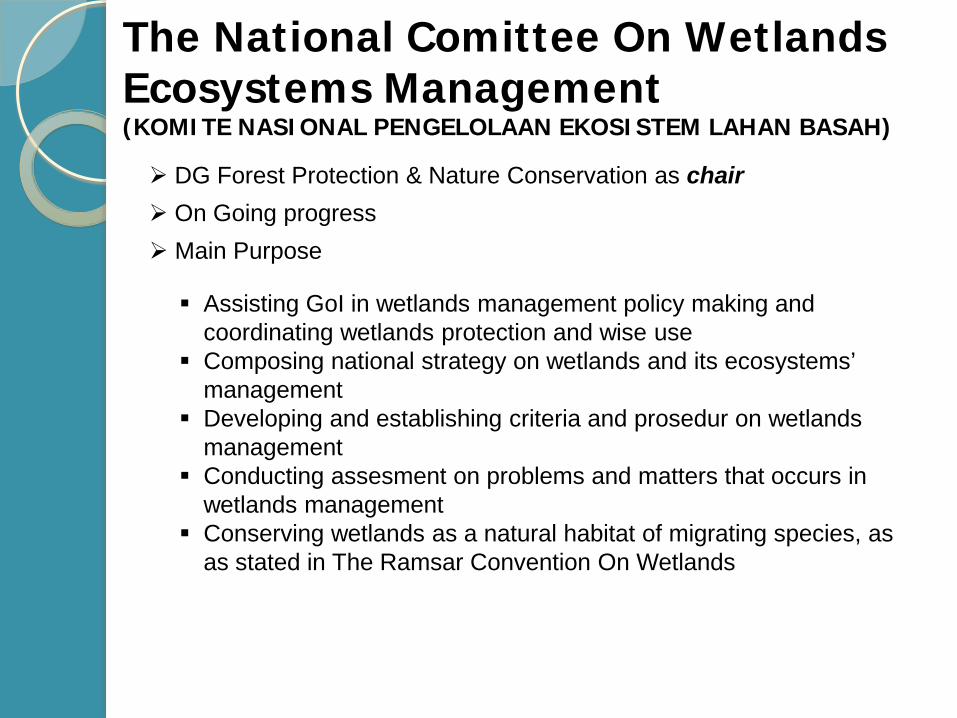
The National Comittee On Wetlands Ecosystems Management (KOMITE NASIONAL PENGELOLAAN EKOSISTEM LAHAN BASAH)
On Going progress
Assisting GoI in wetlands management policy making and coordinating wetlands protection and wise use
Composing national strategy on wetlands and its ecosystems’ management
Developing and establishing criteria and prosedur on wetlands management
Conducting assesment on problems and matters that occurs in wetlands management
Conserving wetlands as a natural habitat of migrating species, as as stated in The Ramsar Convention On Wetlands
Main Purpose
DG Forest Protection & Nature Conservation as chair
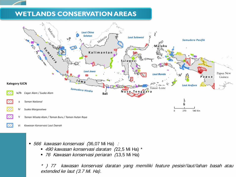
WETLANDS CONSERVATION AREAS
566 kawasan konservasi (36,07 Mi Ha) : 490 kawasan konservasi daratan (22,5 Mi Ha) * 76 Kawasan konservasi periaran (13,5 Mi Ha)
* ) 77 kawasan konservasi daratan yang memiliki feature pesisir/laut/lahan basah atauextended ke laut (3.7 Mi. Ha).
Terima Kasih