Embed Size (px)
DESCRIPTION
ISPLS State Conference January 18, 2013 (12:45 pm – 3:30 pm). Indiana GIS Local Resolution NHD Applications for Surveyors. Agenda. Topics Indiana’s National Hydrography Data Accessing NHD Data Software Demonstrations Uses of NHD Data Future Applications Using NHD - PowerPoint PPT Presentation
Citation preview

Indiana GIS Local Resolution NHD Applications for
Surveyors
ISPLS State ConferenceJanuary 18, 2013
(12:45 pm – 3:30 pm)
Coordination of Indiana GIS through dissemination of data and data products, education and outreach, adoption of standards, and building partnerships
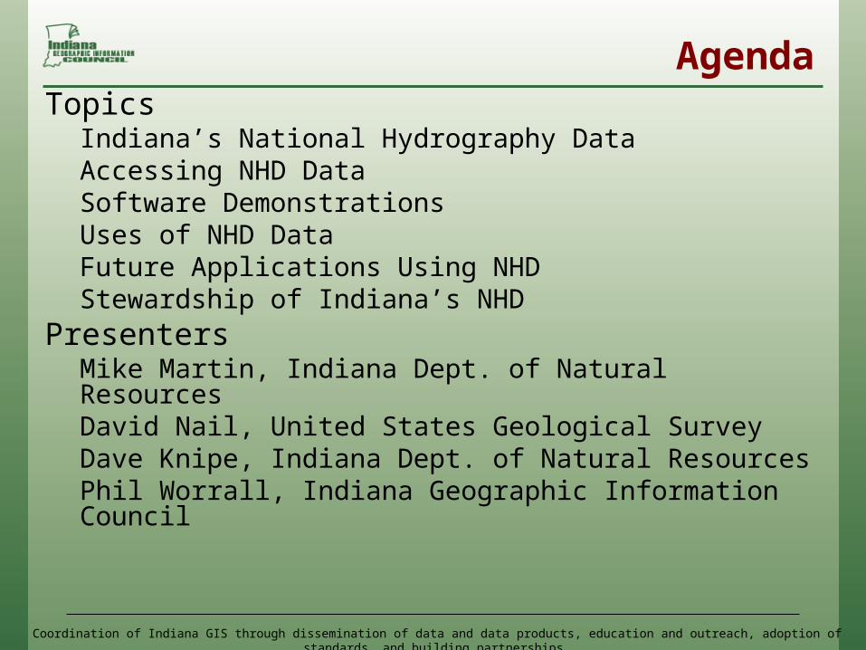
AgendaTopics
Indiana’s National Hydrography DataAccessing NHD DataSoftware DemonstrationsUses of NHD Data Future Applications Using NHDStewardship of Indiana’s NHD
PresentersMike Martin, Indiana Dept. of Natural ResourcesDavid Nail, United States Geological SurveyDave Knipe, Indiana Dept. of Natural ResourcesPhil Worrall, Indiana Geographic Information Council
Coordination of Indiana GIS through dissemination of data and data products, education and outreach, adoption of standards, and building partnerships
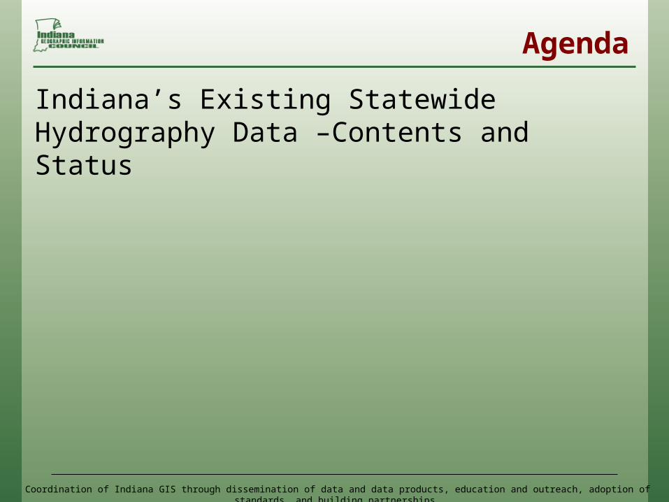
Agenda
Indiana’s Existing Statewide Hydrography Data –Contents and Status
Coordination of Indiana GIS through dissemination of data and data products, education and outreach, adoption of standards, and building partnerships
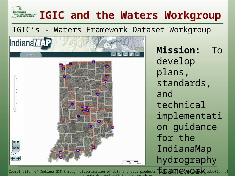
IGIC and the Waters WorkgroupIGIC’s - Waters Framework Dataset Workgroup
Mission: To develop plans, standards, and technical implementation guidance for the IndianaMap hydrography framework data layers.
Coordination of Indiana GIS through dissemination of data and data products, education and outreach, adoption of standards, and building partnerships
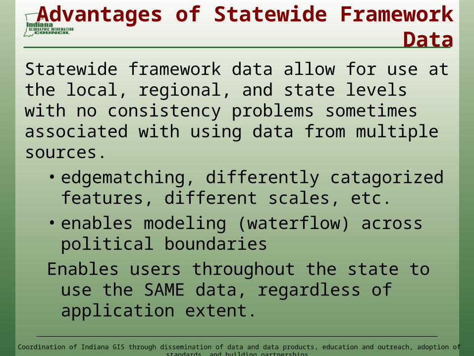
Advantages of Statewide Framework Data
Statewide framework data allow for use at the local, regional, and state levels with no consistency problems sometimes associated with using data from multiple sources.• edgematching, differently catagorized
features, different scales, etc.• enables modeling (waterflow) across
political boundariesEnables users throughout the state to use
the SAME data, regardless of application extent.

Coordination of Indiana GIS through dissemination of data and data products, education and outreach, adoption of standards, and building partnerships
Surface Waters Framework Dataset
IGIC’s - Waters Framework Dataset WorkgroupEstablished National Hydrography Dataset (NHD) as the statewide framework dataset for surface waters

Coordination of Indiana GIS through dissemination of data and data products, education and outreach, adoption of standards, and building partnerships
National Hydrography Dataset
• Surface water component of the National Map
National Hydrography Dataset
Coordination of Indiana GIS through dissemination of data and data products, education and outreach, adoption of standards, and building partnerships
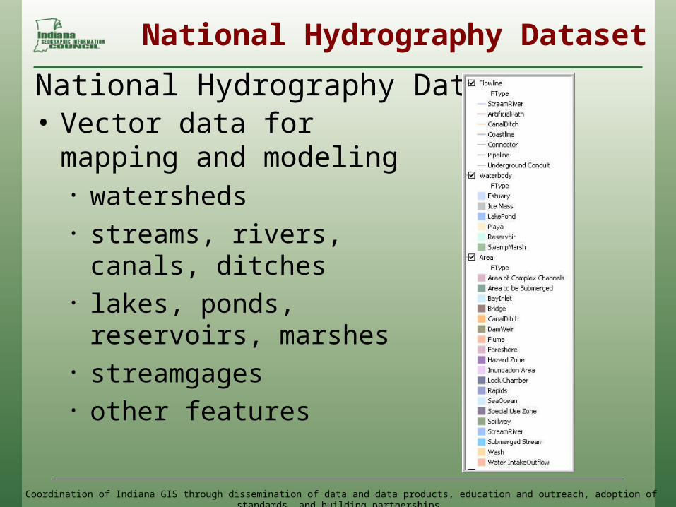
National Hydrography Dataset
• Vector data for mapping and modeling • watersheds• streams, rivers, canals,
ditches • lakes, ponds, reservoirs,
marshes • streamgages• other features
National Hydrography Dataset
Coordination of Indiana GIS through dissemination of data and data products, education and outreach, adoption of standards, and building partnerships
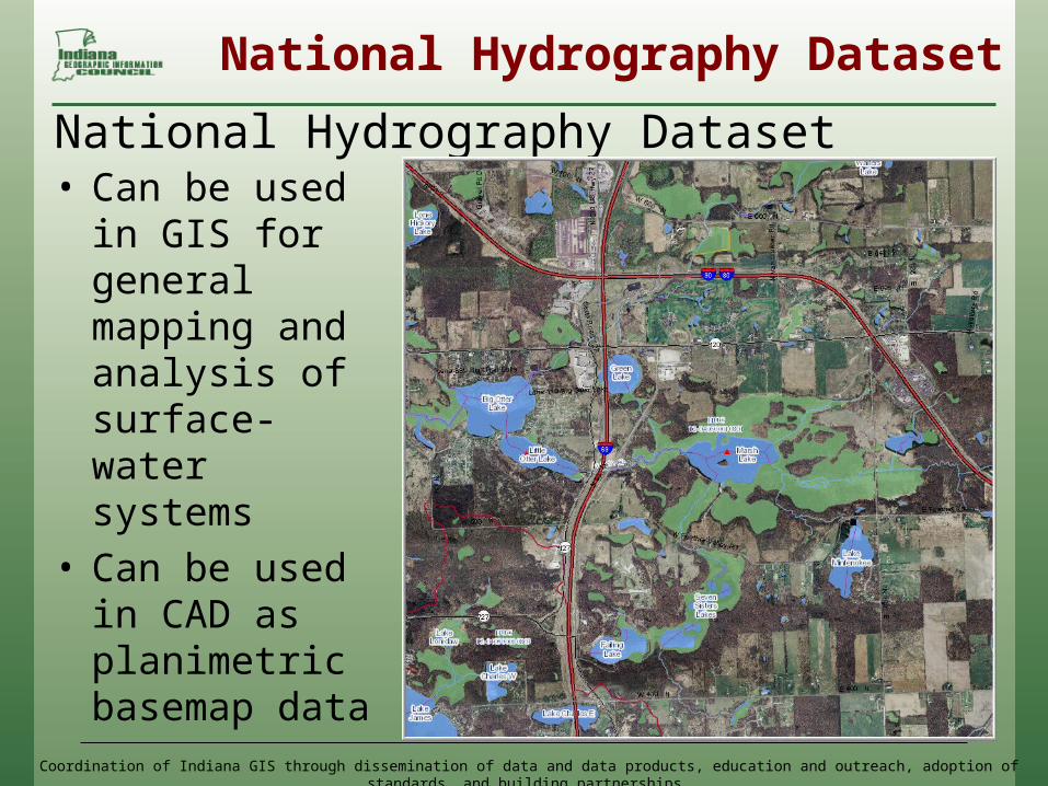
National Hydrography Dataset
• Can be used in GIS for general mapping and analysis of surface-water systems
• Can be used in CAD as planimetric basemap data
National Hydrography Dataset
Coordination of Indiana GIS through dissemination of data and data products, education and outreach, adoption of standards, and building partnerships
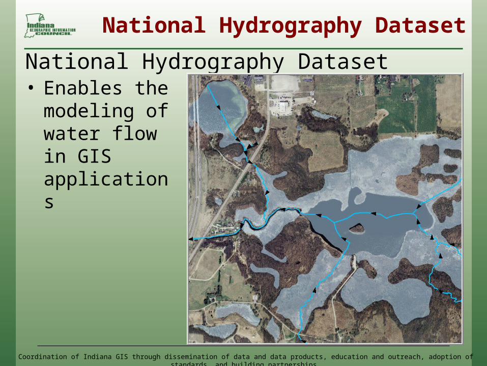
National Hydrography Dataset
• Enables the modeling of water flow in GIS applications
National Hydrography Dataset
Coordination of Indiana GIS through dissemination of data and data products, education and outreach, adoption of standards, and building partnerships
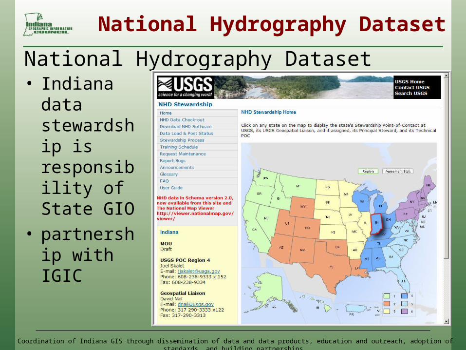
National Hydrography Dataset
• Indiana data stewardship is responsibility of State GIO
• partnership with IGIC
National Hydrography Dataset
Coordination of Indiana GIS through dissemination of data and data products, education and outreach, adoption of standards, and building partnerships
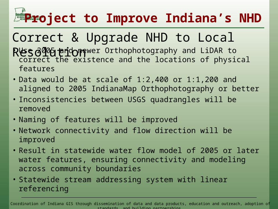
Project to Improve Indiana’s NHD
• Use 2005 and newer Orthophotography and LiDAR to correct the existence and the locations of physical features
• Data would be at scale of 1:2,400 or 1:1,200 and aligned to 2005 IndianaMap Orthophotography or better
• Inconsistencies between USGS quadrangles will be removed
• Naming of features will be improved• Network connectivity and flow direction will be improved• Result in statewide water flow model of 2005 or later
water features, ensuring connectivity and modeling across community boundaries
• Statewide stream addressing system with linear referencing
Correct & Upgrade NHD to Local Resolution

Coordination of Indiana GIS through dissemination of data and data products, education and outreach, adoption of standards, and building partnerships
Improving Indiana’s NHD
1. Correct GNIS name errors in High-Resolution NHD (2011)
2. Create local resolution NHD 3. Load local resolution data into the
national database, includes network topology for modeling
4. Load flowlines and waterbodies datasets into the IndianaMap for use and download
Strategy to Correct Errors and Upgrade the NHD
Coordination of Indiana GIS through dissemination of data and data products, education and outreach, adoption of standards, and building partnerships
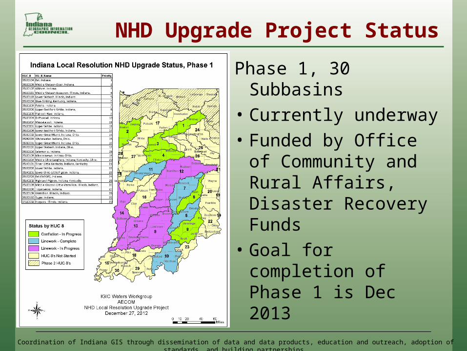
NHD Upgrade Project Status
Phase 1, 30 Subbasins• Currently underway• Funded by Office of
Community and Rural Affairs, Disaster Recovery Funds
• Goal for completion of Phase 1 is Dec 2013
Coordination of Indiana GIS through dissemination of data and data products, education and outreach, adoption of standards, and building partnerships
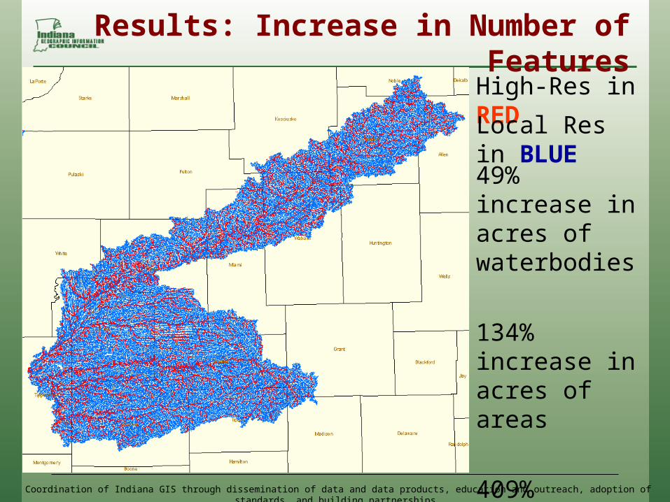
Results: Increase in Number of FeaturesHigh-Res in REDLocal Res in BLUE49% increase in acres of waterbodies
134% increase in acres of areas
409% increase in miles of flowlines
Coordination of Indiana GIS through dissemination of data and data products, education and outreach, adoption of standards, and building partnerships
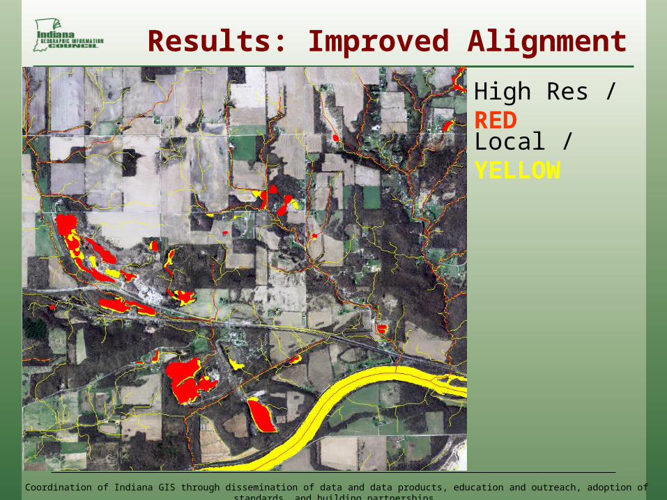
Results: Improved Alignment
High Res / REDLocal / YELLOW
Coordination of Indiana GIS through dissemination of data and data products, education and outreach, adoption of standards, and building partnerships
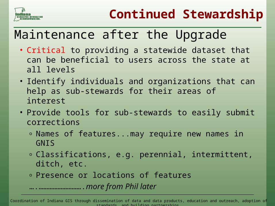
Continued Stewardship
• Critical to providing a statewide dataset that can be beneficial to users across the state at all levels
• Identify individuals and organizations that can help as sub-stewards for their areas of interest
• Provide tools for sub-stewards to easily submit correctionso Names of features...may require new names in
GNISo Classifications, e.g. perennial, intermittent, ditch,
etc.o Presence or locations of features….……………………….more from Phil later
Maintenance after the Upgrade
Coordination of Indiana GIS through dissemination of data and data products, education and outreach, adoption of standards, and building partnerships
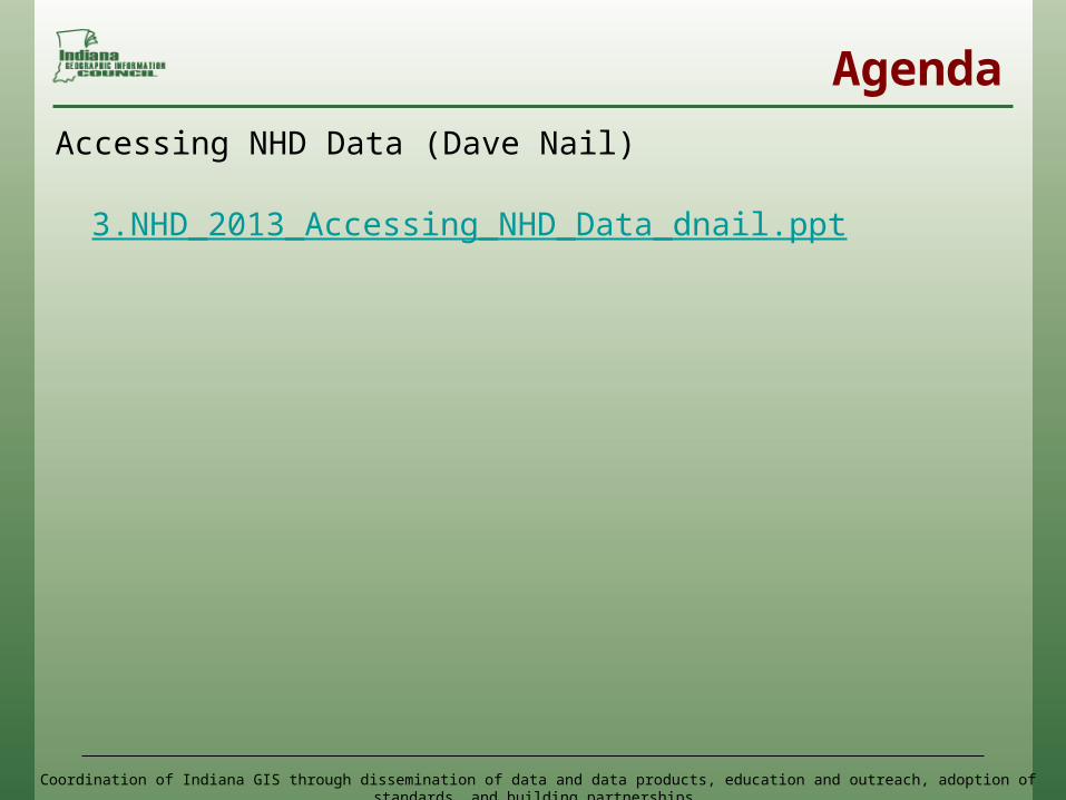
Agenda
Accessing NHD Data (Dave Nail)
3.NHD_2013_Accessing_NHD_Data_dnail.ppt
Coordination of Indiana GIS through dissemination of data and data products, education and outreach, adoption of standards, and building partnerships
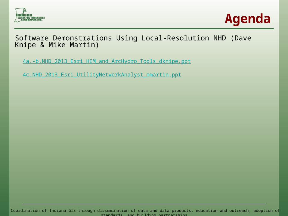
AgendaSoftware Demonstrations Using Local-Resolution NHD (Dave Knipe & Mike Martin)
4a.-b.NHD_2013_Esri_HEM_and_ArcHydro_Tools_dknipe.ppt
4c.NHD_2013_Esri_UtilityNetworkAnalyst_mmartin.ppt

Coordination of Indiana GIS through dissemination of data and data products, education and outreach, adoption of standards, and building partnerships
Agenda
15 Minute Break....Start up at 2:00
Coordination of Indiana GIS through dissemination of data and data products, education and outreach, adoption of standards, and building partnerships
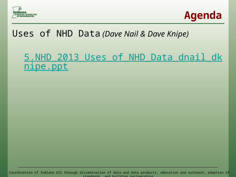
Agenda
Uses of NHD Data (Dave Nail & Dave Knipe)
5.NHD_2013_Uses_of_NHD_Data_dnail_dknipe.ppt
Coordination of Indiana GIS through dissemination of data and data products, education and outreach, adoption of standards, and building partnerships
Agenda
Future Applications of NHD Data (Dave Knipe)
6.NHD_2013_Future_Applications_of_NHD_dknipe.ppt
Coordination of Indiana GIS through dissemination of data and data products, education and outreach, adoption of standards, and building partnerships
Agenda
NHD Stewardship and Potential Next Steps(Phil Worrall)
7.NHD_2013_Stewardship_and_Potential_Next_Steps_pworrall.ppt
Coordination of Indiana GIS through dissemination of data and data products, education and outreach, adoption of standards, and building partnerships
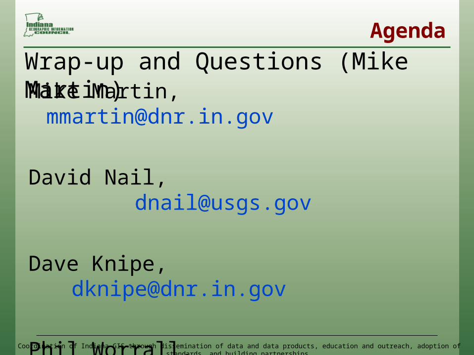
Mike Martin, [email protected]
David Nail, [email protected]
Dave Knipe, [email protected]
Phil Worrall, [email protected]
All presentation and reference materials can be found at: http://www.igic.org/projects/NHD/
Wrap-up and Questions (Mike Martin)
Agenda