Embed Size (px)
Citation preview
Habitats Regulations Screening Report
To Accompany the Open Space Supplementary Planning Document
April 2011
Habitats Regulations Screening Report for the Open Space Supplementary Planning Document
2
Contents 1. Introduction ? 2. Background information - environmental features of Natura 2000 ? sites in and around Waveney 3. Open Space SPD ? 4. Other key plans and strategies ? 5. Assessment of likely effect of the Open Space SPD on Natura 2000 sites ? 6. Summary and conclusions ? List of abbreviations ?
Habitats Regulations Screening Report for the Open Space Supplementary Planning Document
1
1. Introduction This report presents the results of a screening process to determine whether the Open Space Supplementary Document is likely to have a significant effect on any site in the Natura 2000 network, and therefore whether full Appropriate Assessment will be required. This assessment has been undertaken in consultation with Natural England. The Natura 2000 network provides protection for sites that are of exceptional importance in respect of rare, endangered or vulnerable natural habitats and species within the European Union. The network consists of Special Areas of Conservation (SACs) and Special Protection Areas (SPAs). SACs are sites of European importance for nature conservation designated under the Conservation of Natural Habitats and Wild Flora and Fauna Directive (92/43/EEC). SPAs are sites of European importance for nature conservation designated under the Conservation of Wild Birds Directive (70/409/EEC). Both types can also be referred to as European Sites. In accordance with Planning Policy Statement 9 – Biodiversity and Geological Conservation, Ramsar sites, or internationally important wetland habitats, have also been included in this Appropriate Assessment screening report. The requirement to carry out Appropriate Assessment of land use plans is outlined in the Habitats Directive (92/43/EEC), and was transposed into English law in an amendment to the Habitats Regulations (SI No. 2716) in 2006. There are three stages to the Appropriate Assessment process. Task 1: Determining whether a plan is likely to have a significant effect on a
European site. This needs to take account of the likely impacts in combination with other relevant plans and projects. This assessment should be made using the precautionary principle.
Task 2: Carrying out Appropriate Assessment and ascertaining the effect on
site integrity. The effects of the plan on the conservation objectives of sites should be assessed, to ascertain whether the plan has an adverse effect on the integrity of a European site.
Task 3: Identifying mitigation measures and alternative solutions. The aim of
this task is to find ways of avoiding or significantly reducing adverse impacts, so that site integrity is no longer at risk. If there are still likely to be negative impacts, the option should be dropped, unless exceptionally it can be justified by imperative reasons of overriding public interest.
This screening report contains the results of task 1 in relation to the Open Space SPD. Tasks 2 and 3 are only required if the screening stage (task 1) concludes that there is likely to be a significant impact on a European site. Sites included in this assessment are listed in Table 1. This includes sites wholly or partly within the District and selected sites close to its boundaries. The River Waveney flows through Waveney District and into the estuary at Breydon Water, so it is possible that any impact on water quality and flow rates could affect this site. Other sites outside the District have been included as they may be vulnerable to possible changes to groundwater, for example, or impacts on the water cycle in general.
Habitats Regulations Screening Report for the Open Space Supplementary Planning Document
2
Table 1. Natura 2000 sites covered by this screening report SAC name SPA name Ramsar name Area (ha) Location 1 Benacre to Easton
Bavents Lagoons 366.93 Wholly within Waveney, on the coast.
2 Benacre to Easton Bavents
516.83 Wholly within Waveney, on the coast.
3 The Broads 5865.6 Partially within Waveney. Mostly in Norfolk, but extending into northern parts of the District.
4 Broadland 5462.4 Partially within Waveney. Mostly in Norfolk, but extending into northern parts of the District.
5 Broadland 5488.61 Partially within Waveney. Mostly in Norfolk, but extending into northern parts of the District.
6 Minsmere to Walberswick Heaths and Marshes
1265.52 Partially within Waveney. Mostly in Suffolk Coastal, but extending into southern, coastal parts of the District.
7 Minsmere to Walberswick
2018.92 Partially within Waveney. Mostly in Suffolk Coastal, but extending into southern, coastal parts of the District.
8 Minsmere to Walberswick
2018.92 Partially within Waveney. Mostly in Suffolk Coastal, but extending into southern, coastal parts of the District.
9 Dew’s Ponds 6.74 Outside Waveney, in Suffolk Coastal District. 10 Waveney and Little Ouse
Valley Fens 193.18 Outside Waveney, in Norfolk and Suffolk.
11 Redgrave and South Lopham Fens
127.09 Outside Waveney, in Norfolk and Suffolk.
12 Norfolk Valley Fens 616.21 Outside Waveney, in Norfolk. 13 Breydon Water 1202.94 Outside Waveney, in Norfolk. 14 Breydon Water 1202.94 Outside Waveney, in Norfolk. 15 Outer Thames
Estuary 39,3734.18 Coastal and Offshore – North Kent to Norfolk
Habitats Regulations Screening Report for the Open Space Supplementary Planning Document
3
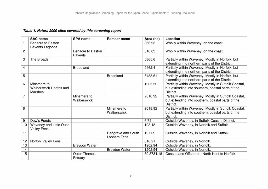
2. Background information - environmental features of Natura 2000 sites in and around Waveney
2.1. Benacre to Easton Bavents Lagoons SAC
Qualifying features (habitats/species)
• Coastal lagoons – one of the best areas in the UK. Priority features
• Coastal lagoons
• Alluvial forests with Alnus glutinosa and Fraxinus excelsior (Alno-Padion, Alnion incanae, Salicion albae)
Key environmental features that support site integrity A series of percolation lagoons with a wide range of salinities, separated from the sea by shingle barriers. The site supports a number of specialist lagoonal species. Vulnerability of site The lagoons at the Denes were created through shingle extraction. Salinity is maintained through percolation and overtopping of the shingle barrier. No management input is required to maintain these lagoons. The lagoons at Benacre, Covehithe and Easton are natural and result from ponded streams behind shingle barriers. Seawater enters the lagoons through overtopping of the barriers during high tides. Natural sea level rise will lead to more frequent saltwater inundation – beneficial for some habitats but causing loss of others. Saline lagoons will migrate landward as the coastline erodes, so their existence should not be compromised in short to medium term. Management actions to reduce the rate of erosion are being addressed through the Shoreline Management Plan, and new lagoons have been created further from the coastline.
Habitats Regulations Screening Report for the Open Space Supplementary Planning Document
4
Conservation Objectives
• Subject to natural change, to maintain, in favourable condition, the lagoons.
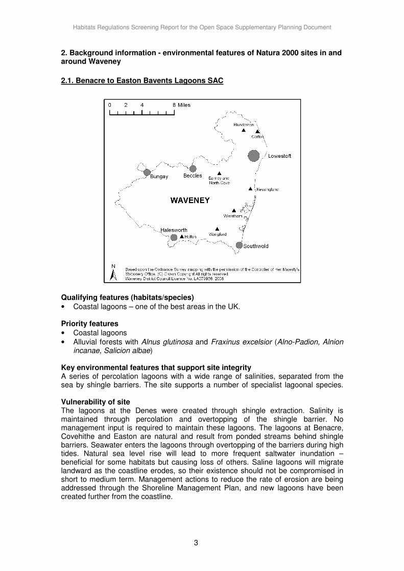
2.2. Benacre to Easton Bavents SPA
Qualifying features (habitats/species)
• During the breeding season:
- Bittern, Botaurus stellaris (5% of GB breeding population)
- Marsh harrier, Circus aeruginosus (5.1% of GB breeding population)
- Little tern, Sterna albifrons (0.9% of GB breeding population) Key environmental features that support site integrity Shingle barriers provide nesting habitat for Little tern; reed beds and grazing marsh provide breeding habitat for Bittern and Marsh harrier. Vulnerability of site As above. Conservation Objectives
• Subject to natural change, to maintain, in favourable condition, the lagoons.
• To maintain, in favourable condition, the habitats for the populations of Annex 1 species (bittern, little tern and marsh harrier) of European importance, with particular reference to:
· shingle; · shallow coastal waters; · standing water; · swamp; and · marginal and inundation communities.
Habitats Regulations Screening Report for the Open Space Supplementary Planning Document
5
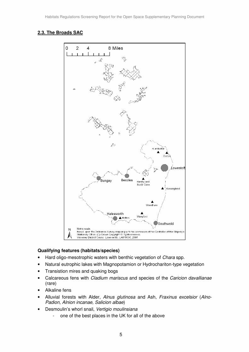
2.3. The Broads SAC
Qualifying features (habitats/species)
• Hard oligo-mesotrophic waters with benthic vegetation of Chara spp.
• Natural eutrophic lakes with Magnopotamion or Hydrochariton-type vegetation
• Transistion mires and quaking bogs
• Calcareous fens with Cladium mariscus and species of the Caricion davallianae (rare)
• Alkaline fens
• Alluvial forests with Alder, Alnus glutinosa and Ash, Fraxinus excelsior (Alno-Padion, Alnion incanae, Salicion albae)
• Desmoulin’s whorl snail, Vertigio moulinsiana
- one of the best places in the UK for all of the above
Habitats Regulations Screening Report for the Open Space Supplementary Planning Document
6
• Fen orchid, Liparis loeselii
- one of only 3 outstanding localities in the UK.
Priority features
• Alluvial forests with Alder, Alnus glutinosa and Ash, Fraxinus excelsior (Alno-Padion, Alnion incanae, Salicion albae)
• Calcareous fens with Cladium mariscus and species of the Caricion davallianae (rare)
Key environmental features that support site integrity
A mosaic of important and rare habitats, including open water, reedbeds, fens, grazing marshes and carr woodlands. These support a wide range of rare and local species of flora and fauna. The Demoulin’s whorl snail is associated with flowing and standing water and ditch systems, while the fen orchid is found on calcareous and alkaline fens. Vulnerability of site The adverse effects of management neglect and natural succession during the 20th century are slowly being reversed through conservation and other management works undertaken by a number of bodies. Sea-level rise and reduced summer flows in the northern rivers (e.g. Bure) brought about by abstraction are resulting in increasing saline intrusion into the site and generally drier summer conditions. The site also suffers from eutrophication, primarily from sewage outfalls and to a lesser degree, agriculture. Some of the sewage works in the northern rivers are now phosphorus stripping and there is a programme of mud-pumping to remove enriched material from lakes, followed by biomanipulation. Pressure from tourism and recreation is now being considered by the Broads Authority. Water Level Management Plans and the Environmentally Sensitive Area scheme are starting to raise water levels, revert arable areas back to grass and encourage sensitive management particularly of the ditches, to address problems brought about by drainage in the past. Appropriate standards of flood defence are necessary for the wetland, and works are currently proceeding under the Environment Agency Broads Strategy. Conservation Objectives
• To maintain, in favourable condition, the: · natural eutrophic lakes with Magnopotamion or Hydrocharition-type
vegetation; · alluvial forests with Alnus glutinosa and Fraxinus excelsior; · calcareous fens with Cladium mariscus and species of the Carex
davallianae (Davall’s sedge); · Molinia meadows on calcareous, peaty or clayey-silt-laden soils (Molinion
caeruleae); · hard oligo-mesotrophic waters with benthic vegetation of Chara spp.; · transition mires and quaking bogs; and · alkaline fens.
• To maintain, in favourable condition, the habitats for the population of: · Desmoulin’s whorl snail; · otter; and · Liparis loeselii (Fen orchid).
Habitats Regulations Screening Report for the Open Space Supplementary Planning Document
7
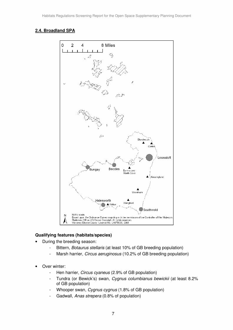
2.4. Broadland SPA
Qualifying features (habitats/species)
• During the breeding season:
- Bittern, Botaurus stellaris (at least 10% of GB breeding population)
- Marsh harrier, Circus aeruginosus (10.2% of GB breeding population)
• Over winter:
- Hen harrier, Circus cyaneus (2.9% of GB population)
- Tundra (or Bewick’s) swan, Cygnus columbianus bewickii (at least 8.2% of GB population)
- Whooper swan, Cygnus cygnus (1.8% of GB population)
- Gadwall, Anas strepera (0.8% of population)
Habitats Regulations Screening Report for the Open Space Supplementary Planning Document
8
Key environmental features that support site integrity A mosaic of important and rare habitats, including open water, reedbeds, fens, grazing marshes and carr woodlands. These support a wide range of rare and local species of flora and fauna, and support breeding and over-wintering populations of a number of protected bird species. Vulnerability of site As above. Conservation Objectives
• To maintain, in favourable condition, the habitats for the populations of Annex 1 bird species (bittern, marsh harrier, hen harrier, Bewick’s swan, whooper swan, ruff, avocet, golden plover and common tern) of European importance with particular reference to:
· open water; · swamp; · fen and fen meadow; · reedbed; · lowland wet grassland with ditches and water bodies; · fen meadow with ditches and water bodies; and · saltmarsh.
• To maintain, in favourable condition, the habitats for the populations of migratory bird species (pink-footed goose, shoveler and gadwall) of European importance with particular reference to:
· open water; · swamp; · fen; · fen meadow with ditches and water bodies; and · lowland wet grassland with ditches and water bodies.
• To maintain, in favourable condition, the habitats of the populations of waterfowl that contribute to the wintering waterfowl assemblage of the European importance with particular reference to:
· open water; · swamp; · fen; · fen meadow with ditches and water bodies; · lowland wet grassland with ditches and water bodies; · wet woodland; and · water bodies.
Habitats Regulations Screening Report for the Open Space Supplementary Planning Document
9
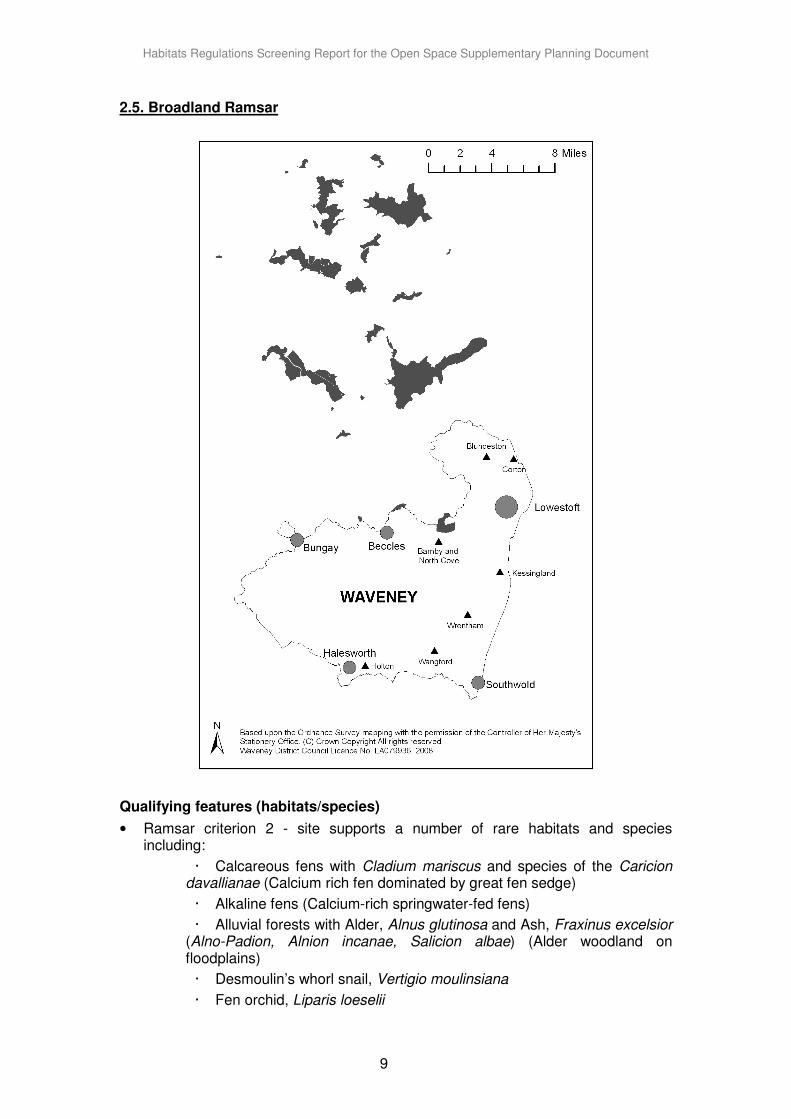
2.5. Broadland Ramsar
Qualifying features (habitats/species)
• Ramsar criterion 2 - site supports a number of rare habitats and species including:
· Calcareous fens with Cladium mariscus and species of the Caricion davallianae (Calcium rich fen dominated by great fen sedge)
· Alkaline fens (Calcium-rich springwater-fed fens)
· Alluvial forests with Alder, Alnus glutinosa and Ash, Fraxinus excelsior (Alno-Padion, Alnion incanae, Salicion albae) (Alder woodland on floodplains)
· Desmoulin’s whorl snail, Vertigio moulinsiana
· Fen orchid, Liparis loeselii
Habitats Regulations Screening Report for the Open Space Supplementary Planning Document
10
· Otter, Lutra lutra
· Outstanding assemblages of rare plants and invertebrates
• Ramsar criterion 6 - species/ populations occurring at international levels of importance: Tundra (or Bewick’s) swan, Cygnus columbianus bewickii
· Eurasian widgeon, Anas penelope
· Gadwall, Anas strepera strepera
· Northern Shoveler, Anas clypeata
· Pink-footed goose, Anser brachyrhynchus
· Greylag goose, Anser anser anser
Key environmental features that support site integrity A mosaic of important and rare habitats, including open water, reedbeds, fens, grazing marshes and carr woodlands. These support a wide range of rare habitats and species, including internationally important breeding and over-wintering populations of a number of bird species. Vulnerability of site As above. The site is not subject to adverse ecological change.
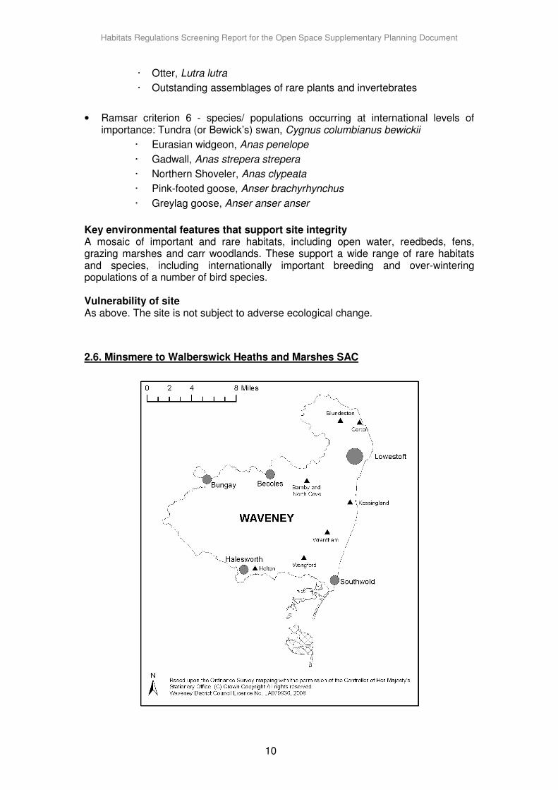
2.6. Minsmere to Walberswick Heaths and Marshes SAC
Habitats Regulations Screening Report for the Open Space Supplementary Planning Document
11
Qualifying features (habitats/species)
• Annual vegetation of drift lines (rare)
- one of only 4 outstanding localities in the UK.
• European dry heaths
- one of the best places in the UK
Priority features
• Coastal lagoons
Key environmental features that support site integrity
Deposits of shingle lying at or above mean high-water spring tides, with ephemeral vegetation cover consisting of annual or short-lived perennial species. Open, dry heathland occurs on freely-draining, acidic to circumneutral soils with generally low nutrient content. Ericaceous dwarf-shrubs dominate the vegetation.
Vulnerability of site Dry heaths were formed through, and are dependent upon, active management. Without grazing or cutting of heather, scrub and tree invasion onto the heaths is rapid and can be extensive. Bracken can also dominate large areas if suitable management has not been undertaken over the past decade. The heathland at Minsmere forms part of a RSPB reserve. The site management plan includes actions to ensure that open heathland is maintained and areas of scrub and bracken are cleared from former heath. Part is managed as Westleton Heath Nature Reserve. Annual vegetation of drift lines is maintained through the action of natural coastal processes upon the shoreline. The requirement for management is limited and is restricted to ensuring that significant human disturbance of the vegetated shore zone does not occur. This is addressed through the RSPB visitor management plan. Conservation Objectives
• To maintain, in favourable condition, the: - annual vegetation of drift lines; - perennial vegetation of stony banks; and - European dry heaths.
Habitats Regulations Screening Report for the Open Space Supplementary Planning Document
12
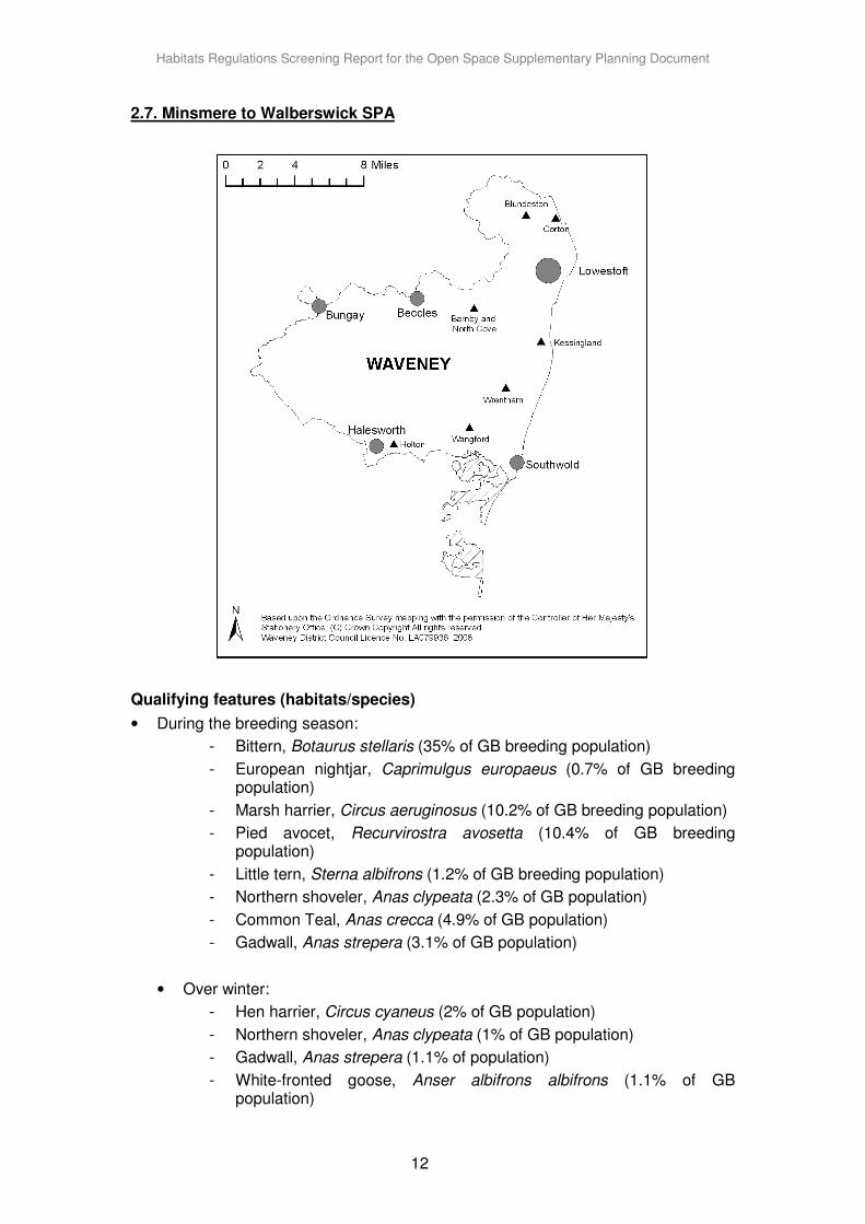
2.7. Minsmere to Walberswick SPA
Qualifying features (habitats/species)
• During the breeding season:
- Bittern, Botaurus stellaris (35% of GB breeding population)
- European nightjar, Caprimulgus europaeus (0.7% of GB breeding population)
- Marsh harrier, Circus aeruginosus (10.2% of GB breeding population)
- Pied avocet, Recurvirostra avosetta (10.4% of GB breeding population)
- Little tern, Sterna albifrons (1.2% of GB breeding population)
- Northern shoveler, Anas clypeata (2.3% of GB population)
- Common Teal, Anas crecca (4.9% of GB population)
- Gadwall, Anas strepera (3.1% of GB population)
• Over winter:
- Hen harrier, Circus cyaneus (2% of GB population)
- Northern shoveler, Anas clypeata (1% of GB population)
- Gadwall, Anas strepera (1.1% of population)
- White-fronted goose, Anser albifrons albifrons (1.1% of GB population)
Habitats Regulations Screening Report for the Open Space Supplementary Planning Document
13
Key environmental features that support site integrity A complex mosaic of habitats including marsh with dykes, reedbeds, mudflats, lagoons, shingle, woodland and lowland heath. These support breeding and over-wintering populations of a number of protected bird species. Vulnerability of site As above. The coastline will be pushed back by natural processes, and this is being addressed in the Shoreline Management Plan. Alternative sites for reedbed creation are being sought to help offset possible future natural losses. Conservation Objectives
• To maintain, in favourable condition, the habitats for the populations of Annex 1 species (bittern, nightjar and marsh harrier, avocet, little tern, shoveler, teal, and gadwall) and hen harrier.
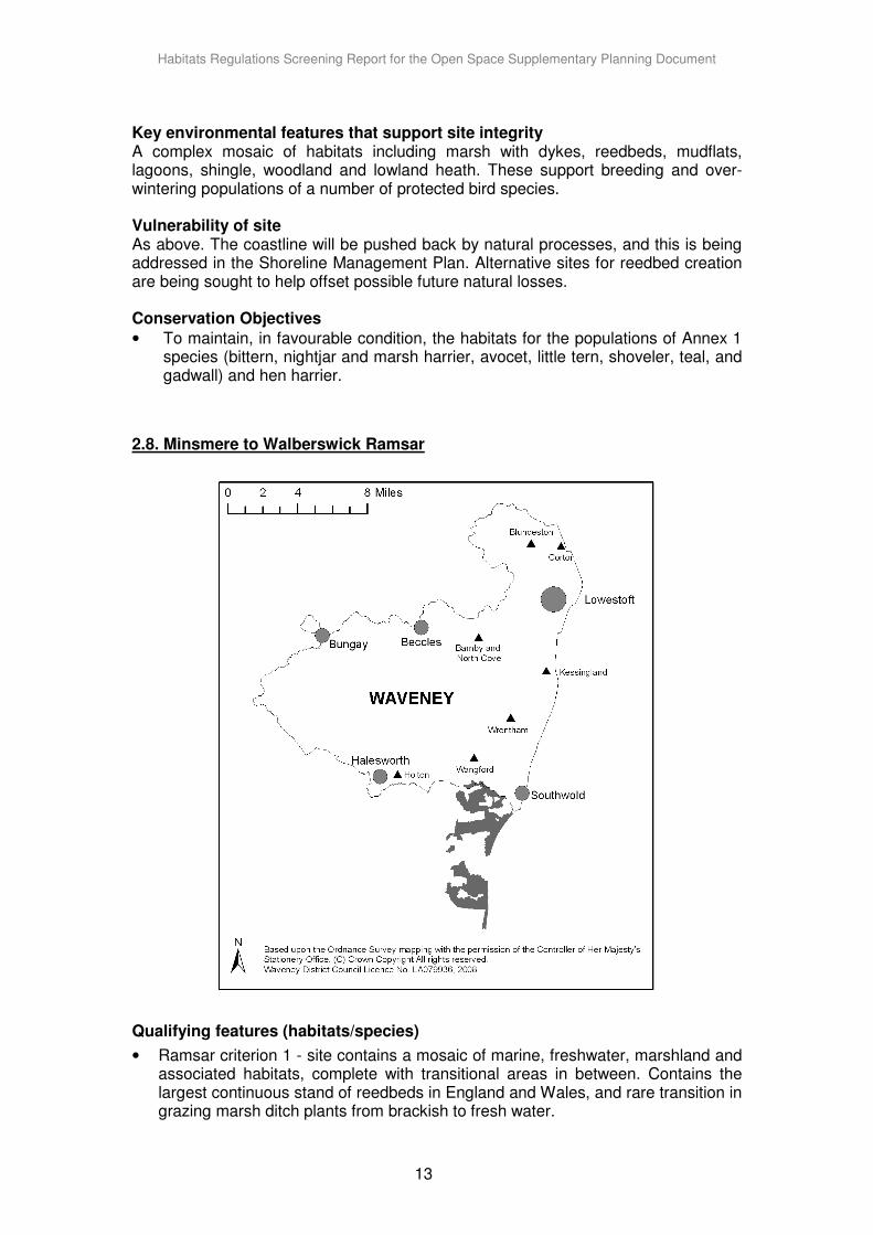
2.8. Minsmere to Walberswick Ramsar
Qualifying features (habitats/species)
• Ramsar criterion 1 - site contains a mosaic of marine, freshwater, marshland and associated habitats, complete with transitional areas in between. Contains the largest continuous stand of reedbeds in England and Wales, and rare transition in grazing marsh ditch plants from brackish to fresh water.
Habitats Regulations Screening Report for the Open Space Supplementary Planning Document
14
• Ramsar criterion 2 - site supports a number of rare habitats and species including:
- Nationally scarce plants and invertebrates.
- A population of the mollusc Vertigo angustior (Narrow-mouthed whorl snail) on the Blyth estuary river walls.
- An important assemblage of rare breeding birds associated with marshland and reedbeds, including:
- Bittern, Botaurus stellaris
- Gadwall, Anas strepera Common Teal, Anas crecca
- Northern shoveler, Anas clypeata
- Marsh harrier, Circus aeruginosus
- Pied avocet, Recurvirostra avosetta
- Bearded tit, Panurus biarmicus
Key environmental features that support site integrity
A complex mosaic of habitats including marsh with dykes, extensive reedbeds, mudflats, lagoons, shingle, woodland and lowland heath. These support breeding and over-wintering populations of a number of rare and protected bird species.
Vulnerability of site
As above. Factors affecting the site’s ecological character include erosion and coastal squeeze within the Blyth Estuary and recreational/tourism disturbance, including trampling damage to vegetated shingle and driftline communities, and disturbance of little tern nesting habitat. To mitigate erosion issues, Natural England provides advice in relation to flood and coastal protection management, which will inform the development of Estuary Strategies and second generation Shoreline Management Plans. To address recreational/tourism disturbance, Natural England will work with owners/occupiers and regulatory authorities to develop a strategy to manage visitor pressure on Suffolk vegetated shingle. These measures are likely to include temporary fencing and provision of boardwalks as well as measures to increase visitor awareness of the sensitivity of the shingle habitat (e.g. interpretation, wardening).
Habitats Regulations Screening Report for the Open Space Supplementary Planning Document
15
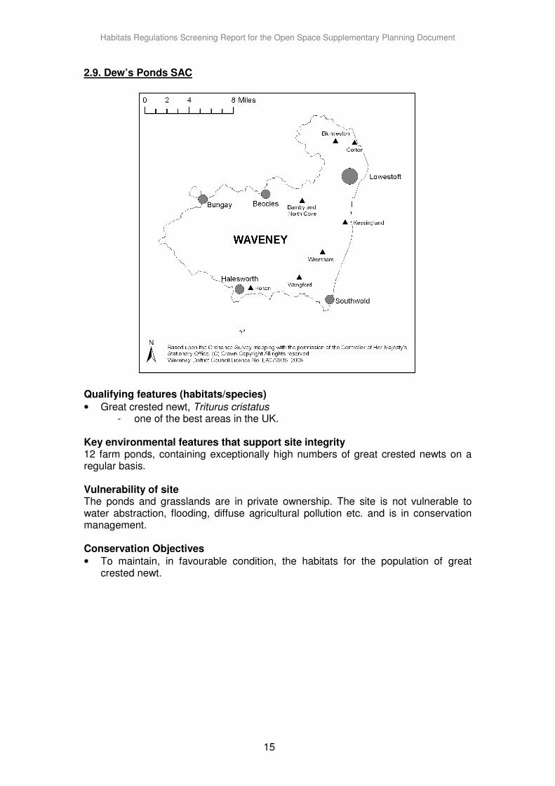
2.9. Dew’s Ponds SAC
Qualifying features (habitats/species)
• Great crested newt, Triturus cristatus - one of the best areas in the UK.
Key environmental features that support site integrity 12 farm ponds, containing exceptionally high numbers of great crested newts on a regular basis. Vulnerability of site The ponds and grasslands are in private ownership. The site is not vulnerable to water abstraction, flooding, diffuse agricultural pollution etc. and is in conservation management. Conservation Objectives
• To maintain, in favourable condition, the habitats for the population of great crested newt.
Habitats Regulations Screening Report for the Open Space Supplementary Planning Document
16
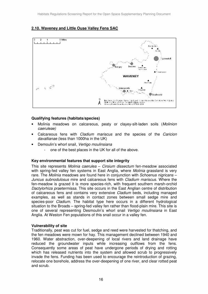
2.10. Waveney and Little Ouse Valley Fens SAC
Qualifying features (habitats/species)
• Molinia meadows on calcareous, peaty or clayey-silt-laden soils (Molinion caeruleae)
• Calcareous fens with Cladium mariscus and the species of the Caricion davallianae (less than 1000ha in the UK)
• Demoulin’s whorl snail, Vertigo moulinsiana
- one of the best places in the UK for all of the above.
Key environmental features that support site integrity
This site represents Molinia caerulea – Cirsium dissectum fen-meadow associated with spring-fed valley fen systems in East Anglia, where Molinia grassland is very rare. The Molinia meadows are found here in conjunction with Schoenus nigricans – Juncus subnodulosus mire and calcareous fens with Cladium mariscus. Where the fen-meadow is grazed it is more species-rich, with frequent southern marsh-orchid Dactylorhiza praetermissa. This site occurs in the East Anglian centre of distribution of calcareous fens and contains very extensive Cladium beds, including managed examples, as well as stands in contact zones between small sedge mire and species-poor Cladium. The habitat type here occurs in a different hydrological situation to the Broads – spring-fed valley fen rather than flood-plain mire. This site is one of several representing Desmoulin’s whorl snail Vertigo moulinsiana in East Anglia. At Weston Fen populations of this snail occur in a valley fen.
Vulnerability of site Traditionally, peat was cut for fuel, sedge and reed were harvested for thatching, and the fen meadows were mown for hay. This management declined between 1940 and 1960. Water abstraction, over-deepening of local rivers and land drainage have reduced the groundwater inputs while increasing outflows from the fens. Consequently some areas of peat have undergone periods of drying and rotting which has released nutrients into the system and allowed scrub to progressively invade the fens. Funding has been used to encourage the reintroduction of grazing, relocate one borehole, address the over-deepening of one river, and clear rotted peat and scrub.

Habitats Regulations Screening Report for the Open Space Supplementary Planning Document
17
Conservation Objectives
• To maintain, in favourable condition, the: - Calcareous fens with Cladium mariscus and the species of the Caricion
davallianae; - Molinia meadows on chalk, peat, clay or silt silt-laden soils (Molinion
caeruleae);
2.11. Redgrave and South Lopham Valley Fens Ramsar
Qualifying features (habitats/species)
• Ramsar criterion 1 - The site is an extensive example of spring-fed lowland base-rich valley, remarkable for its lack of fragmentation.
• Ramsar criterion 2 - The site supports many rare and scarce invertebrates, including a population of the fen raft spider Dolomedes plantarius.
• Ramsar criterion 3 - The site supports many rare and scarce invertebrates, including a population of the fen raft spider Dolomedes plantarius. The diversity of the site is due to the lateral and longitudinal zonation of the vegetation types characteristic of valley mires.
Key environmental features that support site integrity
Redgrave and Lopham Fen is an extensive area of spring-fed valley fen in the headwaters of the River Waveney. It is the largest fen in lowland England. The site is remarkable for its lack of fragmentation. The diversity of the site is due to the lateral and longitudinal zonation of the vegetation types characteristic of valley mires, such as dry birch woodland, scrub and carr, floristically-rich fen grassland, mixed fen, wet heath and areas of reed and saw sedge. The site supports many rare and scarce invertebrates, including a population of the fen raft spider Dolomedes plantarius.

Habitats Regulations Screening Report for the Open Space Supplementary Planning Document
18
Vulnerability of site
The site has been affected by dredging, eutrophication, and pollution from agricultural pesticides and fertilisers. It is hoped that catchment nutrient-loading will be investigated to address eutrophication and fertiliser pollution. However, the site is not reportedly subject to adverse ecological change.
2.12. Norfolk Valley Fens SAC
Qualifying features (habitats/species)
• Alkaline Fens
• Narrow-mouthed whorl snail, Vertigo angustior
• Demoulin’s whorl snail, Vertigo moulinsiana
- one of the best places in the UK for all of the above.
Key environmental features that support site integrity
A variety of valley-head spring-fed fens – very rare in the lowlands. Very ancient wetlands around pingos support a rich assemblage of rare species including Demoulin’s whorl snail. A strong population of Narrow-mouthed whorl snail at Flordon Common occurs with yellow iris, which is maintained by light grazing.
Vulnerability of site These alkaline fens are generally small in area and surrounded by intensively-farmed land. They are very vulnerable to reductions on the water table and a decrease in the volume of spring flows arising from groundwater abstraction. In recent decades scrub
Habitats Regulations Screening Report for the Open Space Supplementary Planning Document
19
and woodland has spread due to the cessation of traditional cutting and grazing management and the drying-out of the fens. These sites are now largely isolated from the rural/agricultural economy of which they were once a part, and in many instances this traditional management has become uneconomic. Management agreements and payments including through Countryside Stewardship and Environmentally Sensitive Areas, help towards the reintroduction or promotion of the continued use of traditional management. Improved understanding of the water needs of these wetlands is required and is the subject of work by the Environment Agency and Natural England. Any effects of groundwater abstraction which are identified will be addressed through appropriate licensing regimes, and the Environment Agency Review of Consents and Asset Management Plans. Conservation Objectives
• To maintain, in favourable condition, the: - alkaline fens; - Molinia meadows on chalk, peat, clay or silt silt-laden soils - (Molinion caeruleae); - European dry heaths; - Northern Atlantic wet heaths with Erica tetralix; - calcareous fens with Cladium mariscus and species of the Caricion - davallianae; - alluvial forests with Alnus glutinosa and Fraxinus excelsior (Alno-Padion,
Alnion incanae, Salicion alvae); and semi-natural dry grasslands and scrubland facies: on calcareous substrates (Festuco-Brometalia).
• To maintain, in favourable condition, the habitats for the population of: - Desmoulin’s whorl snail; and - narrow-mouthed whorl snail.
Habitats Regulations Screening Report for the Open Space Supplementary Planning Document
20
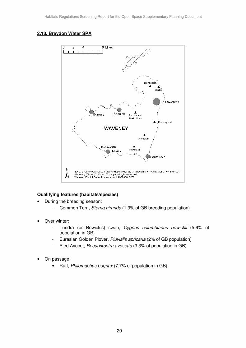
2.13. Breydon Water SPA
Qualifying features (habitats/species)
• During the breeding season:
- Common Tern, Sterna hirundo (1.3% of GB breeding population)
• Over winter:
- Tundra (or Bewick’s) swan, Cygnus columbianus bewickii (5.6% of population in GB)
- Eurasian Golden Plover, Pluvialis apricaria (2% of GB population)
- Pied Avocet, Recurvirostra avosetta (3.3% of population in GB)
• On passage:
• Ruff, Philomachus pugnax (7.7% of population in GB)
Habitats Regulations Screening Report for the Open Space Supplementary Planning Document
21
Key environmental features that support site integrity
An inland tidal estuary with extensive areas of mudflats exposed at high tide – the only tidal flats on the east coast of Norfolk. Extensive areas of floodplain grassland adjacent to the tidal areas. Smaller areas of saltmarsh. These habitats support internationally important assemblages of over-wintering wildfowl.
Vulnerability of site
The Breydon Water estuary is a robust ecosystem, the most sensitive feature being the high tide roost at its northern end. However efficient drainage, recent droughts and poor water management systems have adversely affected the wet grassland part of the site (Halvergate Marshes). A Water Level Management Plan and a feasibility study to overcome the water resource problems have been completed, and it is hoped that a scheme will commence to address this. The Environmentally Sensitive Area scheme has helped to raise water levels and encouraged sensitive management, particularly of the ditches. Appropriate standards of flood defence are required for the wet grassland part of the site, works are currently underway via the
Environment Agency Broads Strategy. Breydon Water and its hinterland lie within the Broads, one of the family of National Parks. As such, it is largely free from development pressures. Future pressure for development may arise around the site, associated with Great Yarmouth, but regulation of such plans is covered by the Habitats Regulations 1994. Conservation Objectives
• To maintain, in favourable condition, the habitats for the populations of Annex 1 bird species (Bewick’s swan, Avocet, Golden plover, Common tern and ruff) of European importance with particular reference to:
· intertidal mudflats and estuary; · salt marsh; and · lowland wet grassland with ditches and water bodies.
• To maintain, in favourable condition, the habitats for the populations of migratory bird species (Lapwing) of European importance with particular reference to:
· intertidal mudflats and estuary; · salt marsh; and · lowland wet grassland with ditches and water bodies.
• To maintain, in favourable condition, the habitats of the populations of waterfowl that contribute to the wintering waterfowl assemblage of European importance, with particular reference to:
· intertidal mudflats and estuary; · salt marsh; and · lowland wet grassland with ditches and water bodies.
Habitats Regulations Screening Report for the Open Space Supplementary Planning Document
22
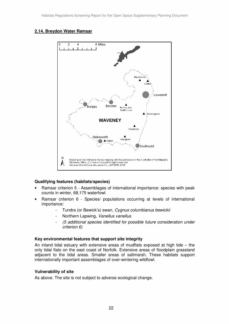
2.14. Breydon Water Ramsar
Qualifying features (habitats/species)
• Ramsar criterion 5 - Assemblages of international importance: species with peak counts in winter, 68,175 waterfowl.
• Ramsar criterion 6 - Species/ populations occurring at levels of international importance:
- Tundra (or Bewick’s) swan, Cygnus columbianus bewickii
- Northern Lapwing, Vanellus vanellus
- (5 additional species identified for possible future consideration under criterion 6)
Key environmental features that support site integrity
An inland tidal estuary with extensive areas of mudflats exposed at high tide – the only tidal flats on the east coast of Norfolk. Extensive areas of floodplain grassland adjacent to the tidal areas. Smaller areas of saltmarsh. These habitats support internationally important assemblages of over-wintering wildfowl.
Vulnerability of site
As above. The site is not subject to adverse ecological change.
Habitats Regulations Screening Report for the Open Space Supplementary Planning Document
23
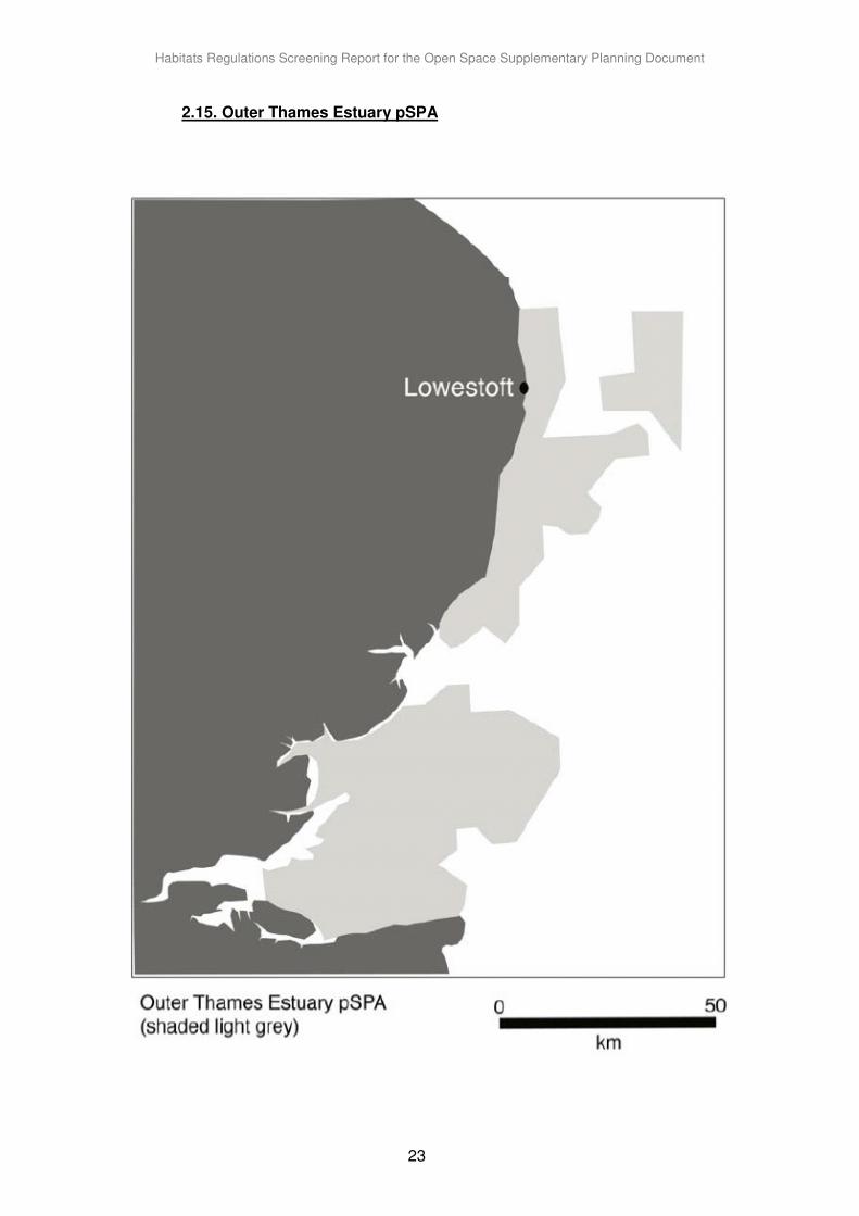
2.15. Outer Thames Estuary pSPA
Habitats Regulations Screening Report for the Open Space Supplementary Planning Document
24
Qualifying features (habitats/species)
Over wintering:
Red-throated Diver Gavia Stellata (maximum count 6,486 individuals)
Key environmental features that support site integrity
The SPA is comprised of shallow coastal waters and areas in the vicinity of sub-tidal sandbanks that support red-throated diver prey, which includes small fish such as gadoids, sprat, herring and sand eel.
Vulnerability of site
The coastal waters and the habitats that support red-throated diver may be affected by the following activities:
• Physical loss of or damage to supporting habitat or habitat feature, including dredging or smothering with soil, siltation or abrasion.
• Visual or noise disturbance.
• Toxic contamination with pesticides, TBT, PCBs, heavy metals, hydrocarbons or radionuclides.
• Non-toxic contamination with nutrients, warmer water, sediments or changes in salinity.
• Introduction of pathogens or non native species.
• Accidental turbine strike, entanglement or bycatch.
• Extraction and removal of prey species (by commercial and recreational fishing).
Conservation objective
Subject to natural change, to maintain in favourable condition, the internationally important populations of the regularly occurring Birds Directive Annex I Species:
• Red-throated diver Gavia Stellata and its supporting habitats and prey species.
Habitats Regulations Screening Report for the Open Space Supplementary Planning Document
25
3. Open Space Supplementary Document
4. Other key plans and strategies
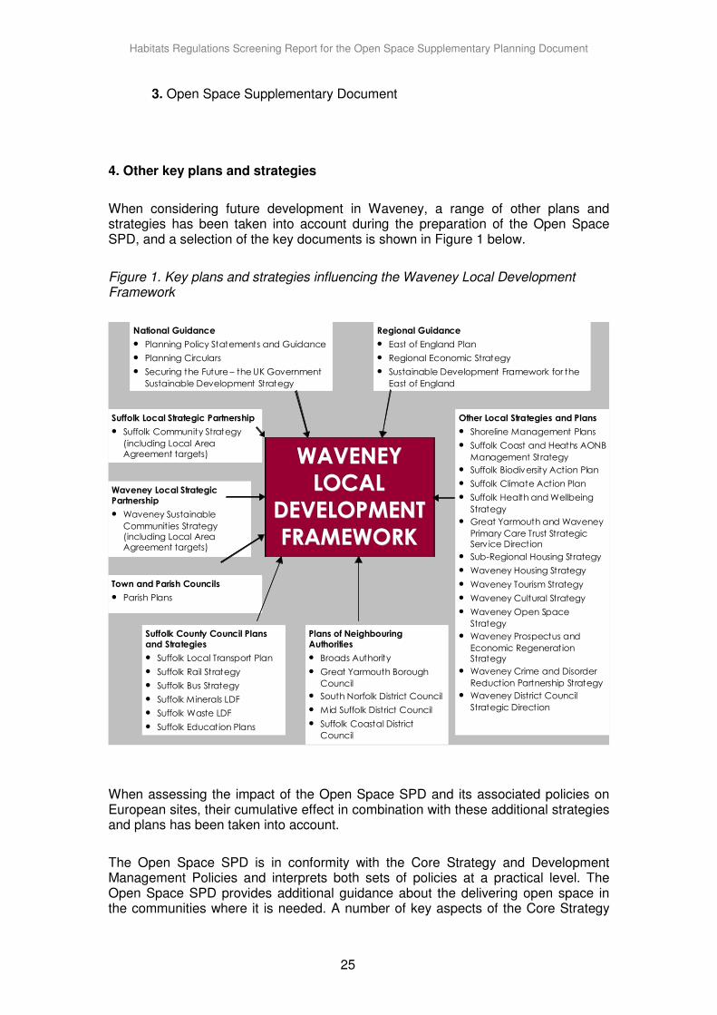
When considering future development in Waveney, a range of other plans and strategies has been taken into account during the preparation of the Open Space SPD, and a selection of the key documents is shown in Figure 1 below.
Figure 1. Key plans and strategies influencing the Waveney Local Development Framework
National Guidance
• Planning Policy Statements and Guidance
• Planning Circulars
• Securing the Future – the UK Government
Sustainable Development Strategy
Regional Guidance
• East of England Plan
• Regional Economic Strategy
• Sustainable Development Framework for the
East of England
Plans of Neighbouring Authorities
• Broads Authority
• Great Yarmouth Borough
Council
• South Norfolk District Council
• Mid Suffolk District Council
• Suffolk Coastal District
Council
Other Local Strategies and Plans
• Shoreline Management Plans
• Suffolk Coast and Heaths AONB
Management Strategy
• Suffolk Biodiversity Action Plan
• Suffolk Climate Action Plan
• Suffolk Health and Wellbeing
Strategy
• Great Yarmouth and Waveney
Primary Care Trust Strategic Serv ice Direction
• Sub-Regional Housing Strategy
• Waveney Housing Strategy
• Waveney Tourism Strategy
• Waveney Cultural Strategy
• Waveney Open Space
Strategy
• Waveney Prospectus and
Economic Regeneration Strategy
• Waveney Crime and Disorder
Reduction Partnership Strategy
• Waveney District Council
Strategic Direction
Suffolk Local Strategic Partnership
• Suffolk Community Strategy
(including Local Area Agreement targets)
Waveney Local Strategic Partnership
• Waveney Sustainable
Communities Strategy (including Local Area Agreement targets)
Town and Parish Councils
• Parish Plans
WAVENEYWAVENEYWAVENEY LOCALLOCALLOCAL
DEVELOPMENTDEVELOPMENTDEVELOPMENT FRAMEWORKFRAMEWORKFRAMEWORK
Suffolk County Council Plans and Strategies
• Suffolk Local Transport Plan
• Suffolk Rail Strategy
• Suffolk Bus Strategy
• Suffolk Minerals LDF
• Suffolk Waste LDF
• Suffolk Education Plans
When assessing the impact of the Open Space SPD and its associated policies on European sites, their cumulative effect in combination with these additional strategies and plans has been taken into account.
The Open Space SPD is in conformity with the Core Strategy and Development Management Policies and interprets both sets of policies at a practical level. The Open Space SPD provides additional guidance about the delivering open space in the communities where it is needed. A number of key aspects of the Core Strategy
Habitats Regulations Screening Report for the Open Space Supplementary Planning Document
26
and the originated from the East of England Plan and have already been assessed as having no impact on European sites. Therefore no significant effects are considered to result from the Open Space SPD in combination with the Core Strategy, Development Management policies and Site Specific Allocations.
Plans of other local authorities also need to be taken into account. Most of Waveney’s towns serve rural hinterlands outside the District, and there are no large centres of population adjacent to the boundaries where development could have a significant impact on European sites within Waveney. The nearby town of Great Yarmouth shares an urban regeneration company (1st East) with Lowestoft. Plans in Great Yarmouth are the Area Action Plan for the 1st East area and the Borough Core Strategy. Similarly to Lowestoft, Great Yarmouth will be a focus for regeneration, housing, employment and retail growth in future, with development particularly directed to brownfield, waterfront sites. The neighbouring district of Mid Suffolk adopted its Core Strategy in September 2008. Suffolk Coastal District Council has adopted their Core Strategy as Interim Planning Policy. South Norfolk’s Joint Core Strategy with Broadland District Council and Norwich City Council was adopted in 2011.
Oulton Broad is a part of the wider Broads ecosystem. The Broads area is managed by the Broads Authority, and includes parts of six local authority areas in Norfolk and Suffolk. The Broads Authority is preparing the Local Development Framework for the Broads area, and the Broads Authority Core Strategy was adopted in September 2007.
The Open Space SPD has been informed by national planning policy, the Waveney Core Strategy and Development Management Policies in combination with the plans and strategies of other local authorities as detailed above. The cumulative impact of these has been assessed.
In conclusion, it is not considered that the Open Space Supplementary Planning Document will have an impact on any European site in combination with the plans and strategies of other authorities.
Habitats Regulations Screening Report for the Open Space Supplementary Planning Document
27
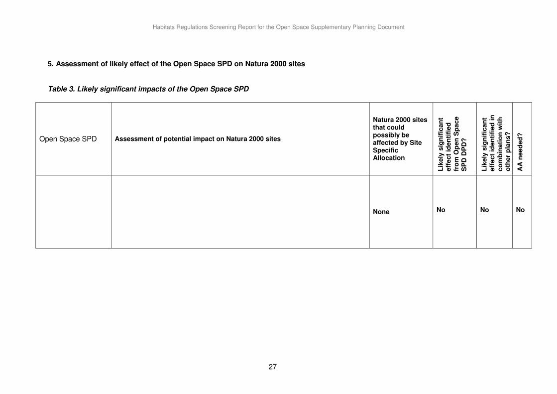
5. Assessment of likely effect of the Open Space SPD on Natura 2000 sites Table 3. Likely significant impacts of the Open Space SPD
Open Space SPD Assessment of potential impact on Natura 2000 sites
Natura 2000 sites that could possibly be affected by Site Specific Allocation
Lik
ely
sig
nif
ican
t eff
ect
iden
tifi
ed
fr
om
Op
en
Sp
ace
SP
D D
PD
?
Lik
ely
sig
nif
ican
t eff
ect
iden
tifi
ed
in
co
mb
inati
on
wit
h
oth
er
pla
ns?
AA
need
ed
?
None
No
No
No
Habitats Regulations Screening Report for the Open Space Supplementary Planning Document
28
6. Summary and conclusions The Open Space SPD provides guidance to implement Policy DM25 of the Development Management Policies and the strategic objectives of the Waveney Core Strategy within the District. This is part of an overall to create and enhance our local communities. Creating new open space and protecting and enhancing existing ones is should complement the objectives of the Natura 2000 sites by protecting existing wildlife habitats which in turn will encourage greater biodiversity. The Development Management Policies DPD, which forms part of the Local Development Framework, together with the policies in the Core Strategy will inform the determination of applications within the District and the Open Space SPD will provide guidance as part of the decision making process. These together will reinforce the need to consider the natural environment and the impacts development proposals may have on sensitive habitats. The condition of Sites of Special Scientific Interest (SSSIs - which include all European Sites, amongst others) in the District is included in the monitoring framework for the Core Strategy. This will allow any adverse impacts on SSSIs to be monitored and policies reviewed if necessary. The Open Space Supplementary Planning Document conforms with both the Core Strategy and Development Management Policies which have already been judged to have no significant impacts on Natura 2000 sites. All policies within the Core Strategy and the Development Management Policies DPDs have also been the subject of a Sustainability Appraisal to help identify the preferred policies for use in making decisions on planning applications. In conclusion, the guidance set out in the Open Space SPD is not considered to have any significant impact on European sites, either alone or in combination with other plans and strategies. Therefore it will not be necessary to carry out a full Appropriate Assessment of the guidance in the document.
Habitats Regulations Screening Report for the Open Space Supplementary Planning Document
29
List of abbreviations GB Great Britain RSPB Royal Society for the Protection of Birds SAC Special Area of Conservation SPA Special Protection Area SSSI Site of Special Scientific Interest Sources of background information
- Natura 2000 Standard Data Forms and Information Sheets on Ramsar Wetlands, at www.jncc.gov.uk - Details of protected sites.
- East of England Regional Spatial Strategy Habitats Directive Assessment Report, December 2006, ERM Ltd, at www.gos.gov.uk/goee/docs/193657/193668/Part2 - Conservation objectives for protected sites.