Embed Size (px)
Citation preview
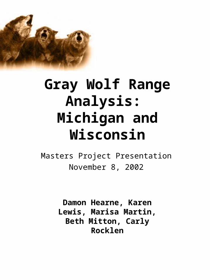
Gray Wolf Range Analysis: Michigan and Wisconsin
Masters Project Presentation
November 8, 2002
Damon Hearne, Karen Lewis, Marisa Martin, Beth Mitton,
Carly Rocklen
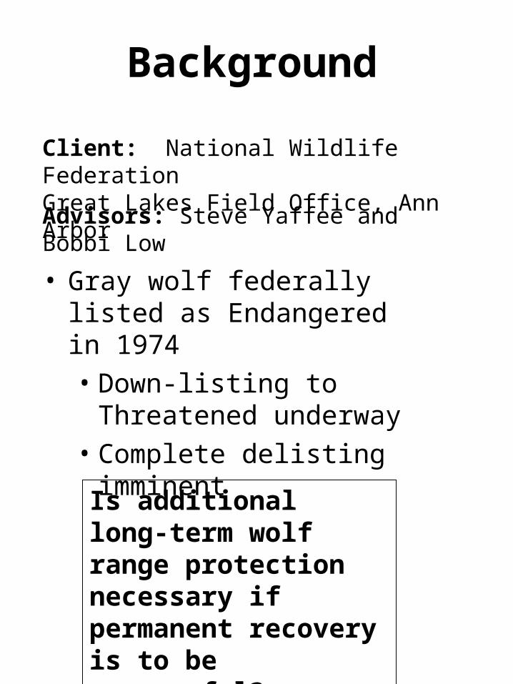
Background
• Gray wolf federally listed as Endangered in 1974• Down-listing to Threatened
underway• Complete delisting imminent
Client: National Wildlife Federation Great Lakes Field Office, Ann Arbor
Advisors: Steve Yaffee and Bobbi Low
Is additional long-term wolf range protection necessary if permanent recovery is to be successful?
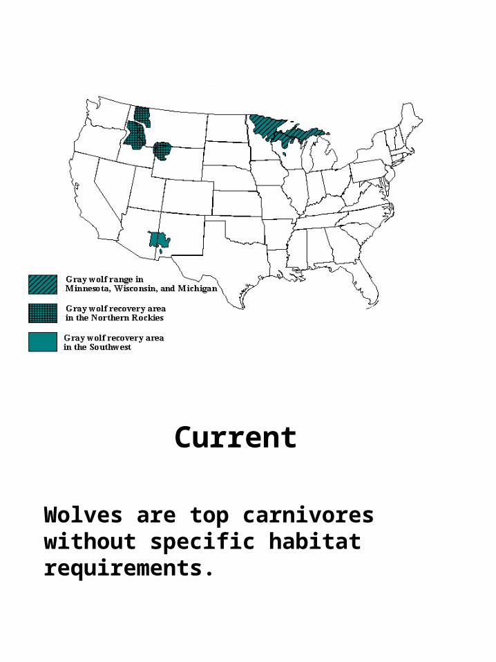
Historic1974Current
Wolves are top carnivores without specific habitat requirements.
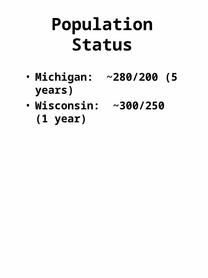
Population Status
• Michigan: ~280/200 (5 years)• Wisconsin: ~300/250 (1 year)
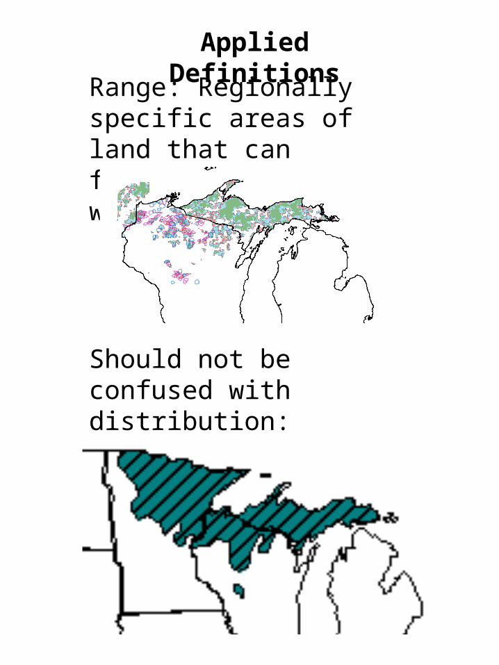
Range: Regionally specific areas of land that can function as gray wolf territory
Should not be confused with distribution:
Applied Definitions
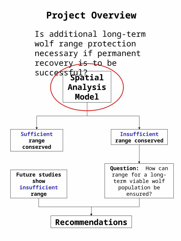
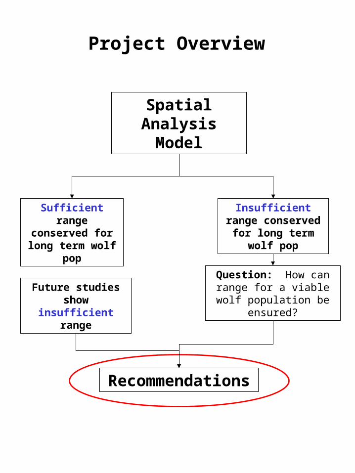
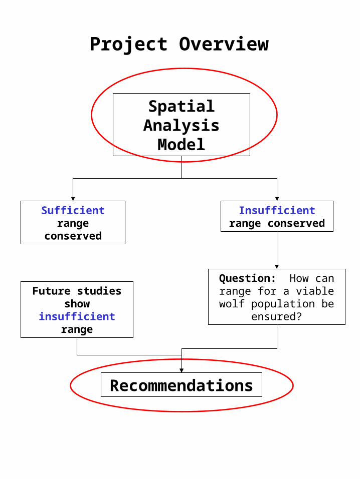
Spatial Analysis Model
Project Overview
Sufficient range conserved
Insufficient range conserved
Question: How can range for a long-term viable wolf
population be ensured?
Recommendations
Future studies show insufficient range
Is additional long-term wolf range protection necessary if permanent recovery is to be successful?
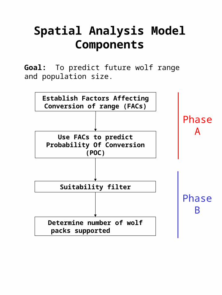
Spatial Analysis Model Components
Goal: To predict future wolf range and population size.
Establish Factors Affecting Conversion of range (FACs)
Use FACs to predict Probability Of Conversion (POC)
Determine number of wolf packs supported
Suitability filter
Phase A
Phase B
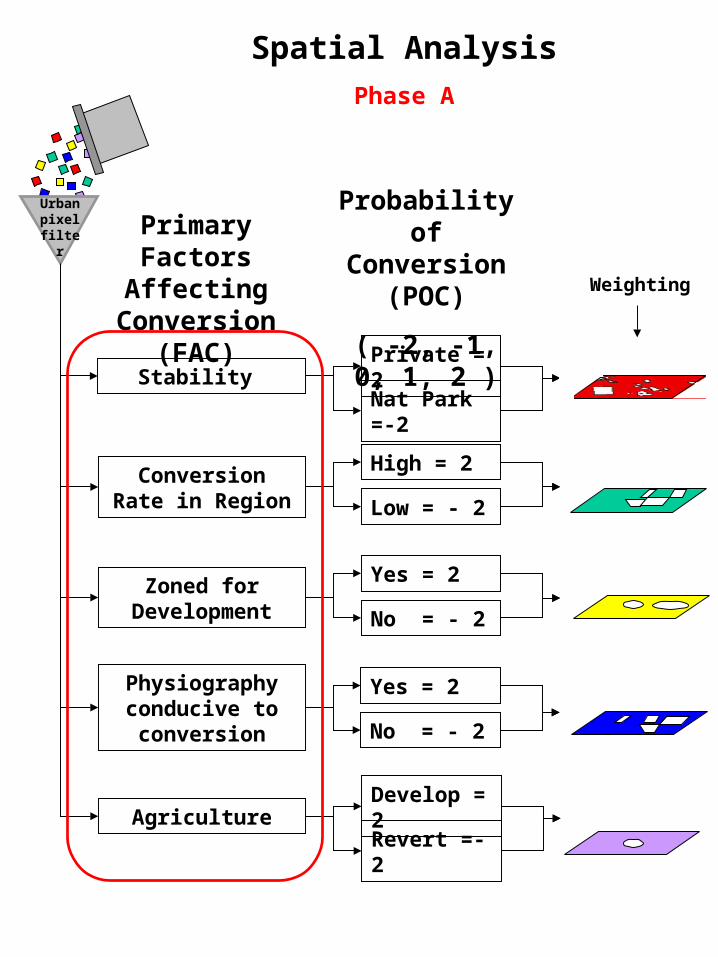
Primary Factors Affecting
Conversion (FAC)
Stability
Conversion Rate in Region
Nat Park =-2
Private = 2
Low = - 2
High = 2
Zoned for Development No = - 2
Yes = 2
Physiography conducive to conversion No = - 2
Yes = 2
Urban pixel filter
Probability of Conversion
(POC)
( -2, -1, 0, 1, 2 )
Spatial Analysis
Phase A
Weighting
AgricultureRevert =-2
Develop = 2
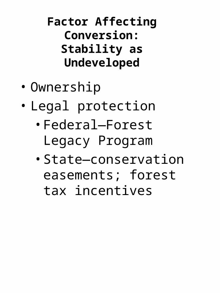
• Ownership
• Legal protection
• Federal—Forest Legacy Program
• State—conservation easements; forest tax incentives
Factor Affecting Conversion:
Stability as Undeveloped
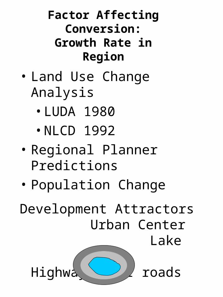
• Land Use Change Analysis
• LUDA 1980
• NLCD 1992
• Regional Planner Predictions
• Population Change
Development Attractors Urban Center Lake Highway/major roads
Factor Affecting Conversion:
Growth Rate in Region
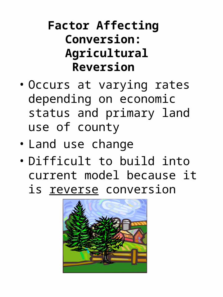
Factor Affecting Conversion:
Agricultural Reversion
• Occurs at varying rates depending on economic status and primary land use of county
• Land use change
• Difficult to build into current model because it is reverse conversion
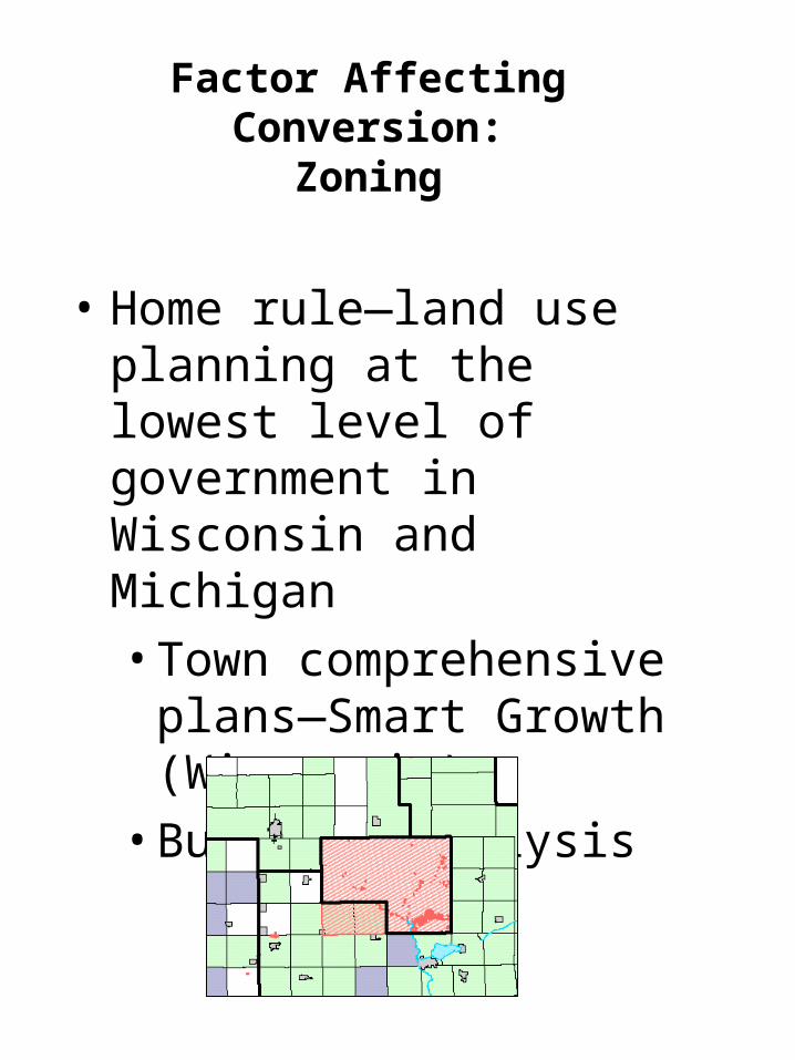
• Home rule—land use planning at the lowest level of government in Wisconsin and Michigan
• Town comprehensive plans—Smart Growth (Wisconsin)
• Buildout analysis
Factor Affecting Conversion:
Zoning
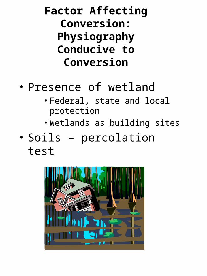
Factor Affecting Conversion:
Physiography Conducive to Conversion
• Presence of wetland • Federal, state and local protection
• Wetlands as building sites
• Soils – percolation test
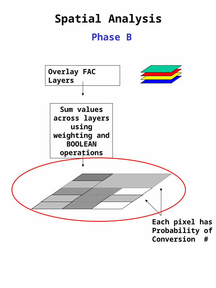
Overlay FAC Layers
Sum values across layers using
weighting and BOOLEAN operations
Each pixel has Probability of Conversion #
Spatial Analysis
Phase B
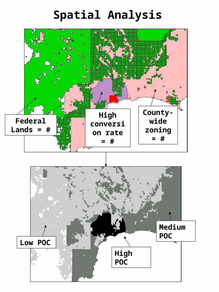
County- wide
zoning = #Federal Lands
= #
High conversion
rate = #
Low POC
High POC
Medium POC
Spatial Analysis
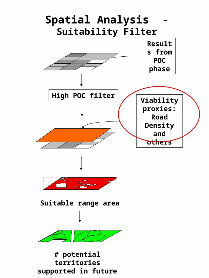
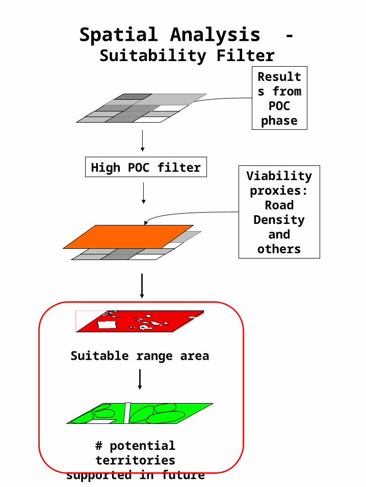
Spatial Analysis - Suitability Filter
Suitable range area
# potential territories supported in future
Viability proxies:
Road Density and others
Results from POC phase
High POC filter
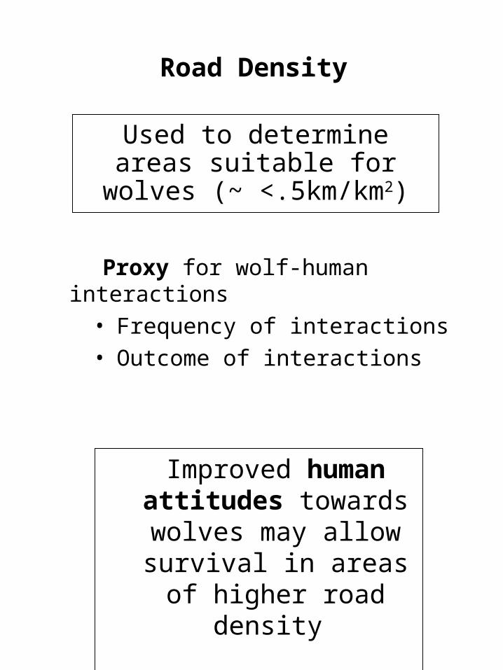
Road Density
Proxy for wolf-human interactions• Frequency of interactions• Outcome of interactions
Used to determine areas suitable for wolves (~ <.5km/km2)
Improved human attitudes towards wolves
may allow survival in areas of higher road
density
Spatial Analysis - Suitability Filter
Suitable range area
# potential territories supported in future
Viability proxies:
Road Density and others
Results from POC phase
High POC filter
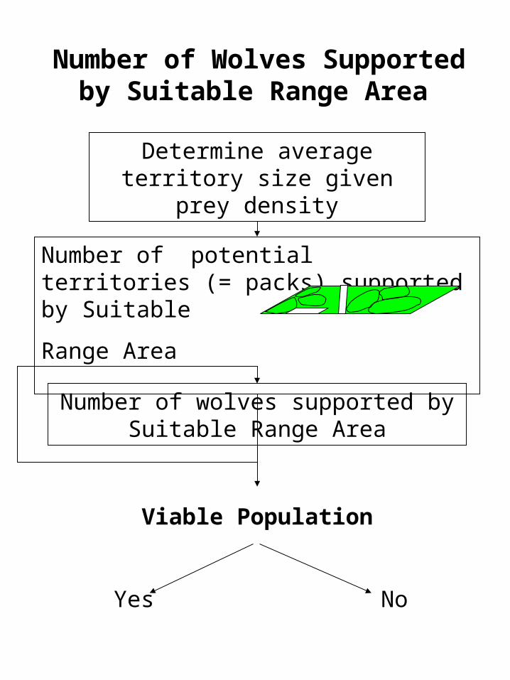
Number of potential territories (= packs) supported by Suitable
Range Area
Number of Wolves Supported by Suitable Range Area
Determine average territory size given prey density
Number of wolves supported by Suitable Range Area
Viable Population
Yes No
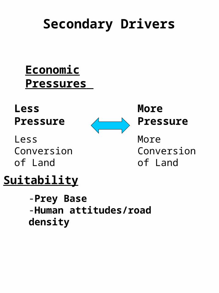
Less Pressure
Less Conversion of Land
More Pressure
More Conversion of Land
Secondary Drivers
Economic Pressures
-Prey Base-Human attitudes/road density
Suitability
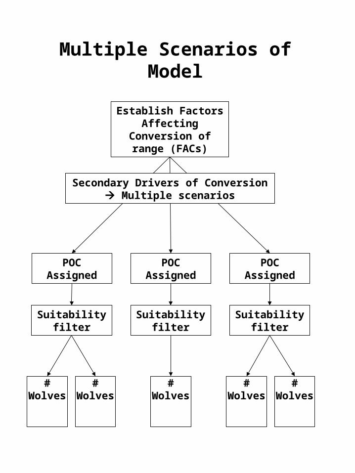
Multiple Scenarios of Model
Establish Factors Affecting Conversion of
range (FACs)
POC Assigned
# Wolves
Suitability filter
POC Assigned
Suitability filter
POC Assigned
Suitability filter
Secondary Drivers of Conversion Multiple scenarios
# Wolves
# Wolves
# Wolves
# Wolves
Spatial Analysis Model
Sufficient range conserved for long
term wolf pop
Insufficient range conserved for long
term wolf pop
Question: How can range for a viable wolf population
be ensured?
Recommendations
Future studies show insufficient range
Project Overview
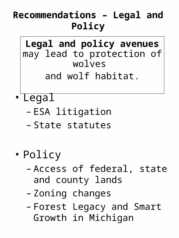
• Legal– ESA litigation– State statutes
• Policy– Access of federal, state and county
lands– Zoning changes– Forest Legacy and Smart Growth in
Michigan
Recommendations – Legal and Policy
Legal and policy avenues may lead to protection of wolves
and wolf habitat.
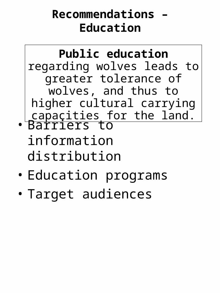
Recommendations – Education
• Barriers to information distribution
• Education programs
• Target audiences
Public education regarding wolves leads to greater tolerance of wolves, and thus to higher cultural carrying
capacities for the land.
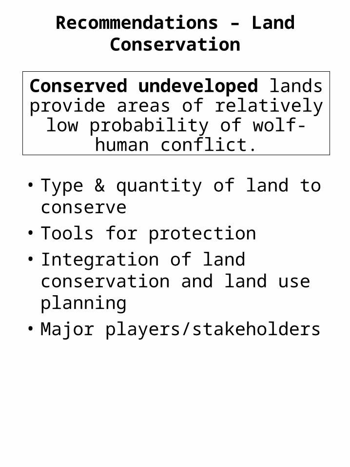
Recommendations – Land Conservation
• Type & quantity of land to conserve
• Tools for protection
• Integration of land conservation and land use planning
• Major players/stakeholders
Conserved undeveloped lands provide areas of relatively low probability of
wolf-human conflict.
Spatial Analysis Model
Sufficient range conserved
Insufficient range conserved
Question: How can range for a viable wolf population
be ensured?
Recommendations
Future studies show insufficient range
Project Overview
Thank you very much
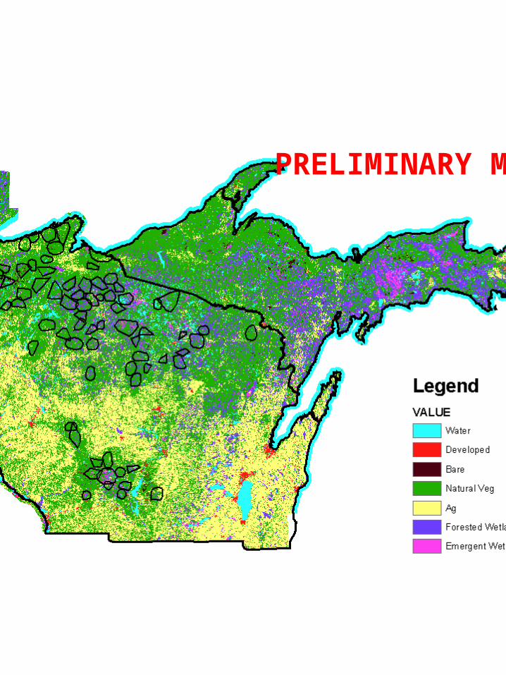
PRELIMINARY MAP
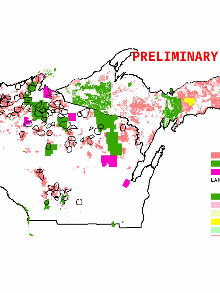
PRELIMINARY MAP