Embed Size (px)
Citation preview

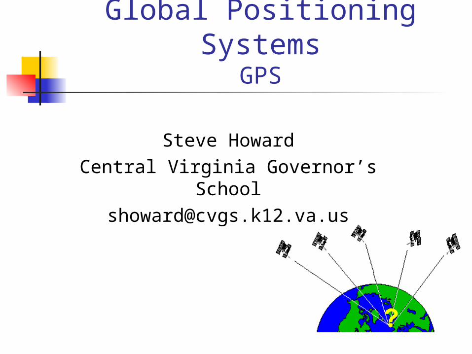
GPS Introduction GPS is a network of 24 NAVSTAR
satellites orbiting the Earth at ~11,000 miles
Free to all users Developed by the US Dept of
Defence These satellites launched from
1978-1994 GPS provide specially coded
satellite signals that can be processed by a receiver, enabling the receiver to compute position, velocity and time

GPS Segments#1 - satellite constellation
24 satellites transmitting signals (1575.42 MHz)
6 satellites can be “seen” at any time, anywhere on Earth
Signal contains 3 different pieces of info Pseudo-random code which identifies each
satellite along with timing data Ephemeris data Almanac data

GPS Segments#2 – Operational Control Segment
The OCS maintains the satellites in their proper positions and monitors satellite health and status
Remote, unmanned monitor stations (Hawaii, Kwajalein-Pacific Ocean, Diego Garcia – Indian Ocean, Ascention Island-Atlantic Ocean and Colorado Springs) constantly track and monitor signals sent from satellites and info to Master Control Station at Falcon Air Force Base in Colorado Springs
MCS uploads navigation correction messages and other data to the satellites

GPS Segments#3 – User receiving equipment
GPS receivers process the signals from the satellites position, velocity and time
Applications include: Location Navigation Tracking Mapping Timing

How GPS Works Trilateration
Let's say that you are somewhere in the United States and you are TOTALLY lost -- you don't have a clue where you are. You find a friendly-looking person and ask, "Where am I?" and the person says to you, "You are 625 miles from Boise, Idaho."
You could be anywhere on a circle around Boise that has a radius of 625 miles,

How GPS Works Trilateration
So you ask another person, and he says, "You are 690 miles away from Minneapolis, Minnesota." This is helpful -- if you combine this information with the Boise information, you have two circles that intersect. You now know that you are at one of two points, but you don't know which one.

How GPS Works Trilateration
If a third person tells you that you are 615 miles from Tucson, Arizona, you can figure out which of the two points you are at.
GPS receivers work in a similar way by getting the distance from at least 3 satellites. A 4th satellite is needed for error correction and timing
Want more info? http://www.howstuffworks.com/gps.htm/

How GPS Really Works In 3-Dimensions, if
you know you are 11,000 miles from a satellite, you could be anywhere on a sphere
3 satellites leave you with 2 possible locations – 1 of which is usually impossible
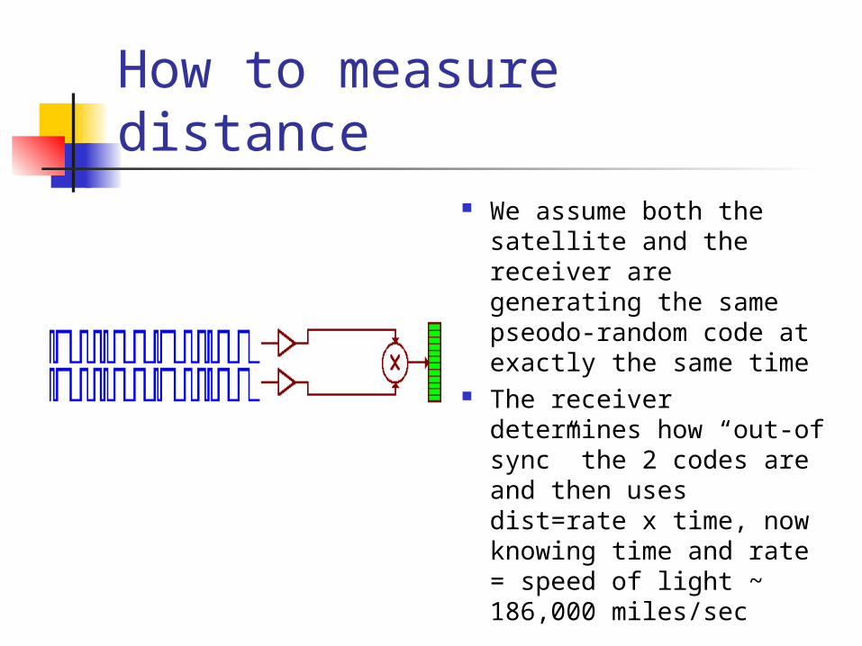
How to measure distance We assume both the
satellite and the receiver are generating the same pseodo-random code at exactly the same time
The receiver determines how “out-of sync” the 2 codes are and then uses dist=rate x time, now knowing time and rate = speed of light ~ 186,000 miles/sec

How to measure distance BUT WAIT – it’s not quite
that easy. There is error involved.
GPS signals pass through the ionosphere and troposphere, slowing them down and bending them
The signals may also bounce off of local obstructions – mountains, buildings, etc.
The satellite’s orbit may also be off.

What about that ERROR! It’s important for
receivers to “fix” the errors. At the speed of light, a timing error of 1/1000 of a second results in a 200 mile location error!
Readings from a 4th satellite can be used to approximate the timing error

Another way to correct error WAAS (Wide Area Augmentation System)
Also called Differential GPS, WAAS uses monitoring stations that know where they are and where every satellite SHOULD be.
The stations can then determine the timing differential in each satellite
WAAS satellites then send this info out to GPS receivers

Now let’s try our hand at GPS Terms to know
Location Fix Coordinate Waypoint Bearing GOTO