Embed Size (px)
Citation preview
PresenterSelim Birced
GISize!The Standard Infrastructure Management Interface for Wonderware
© 2018 AVEVA Solutions Limited and its subsidiaries. All rights reserved.
GISize!Introduction
© 2018 AVEVA Solutions Limited and its subsidiaries. All rights reserved.2
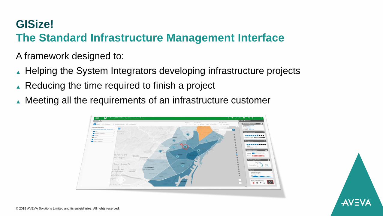
GISize!
A framework designed to:
▲ Helping the System Integrators developing infrastructure projects
▲ Reducing the time required to finish a project
▲ Meeting all the requirements of an infrastructure customer
The Standard Infrastructure Management Interface
© 2018 AVEVA Solutions Limited and its subsidiaries. All rights reserved.
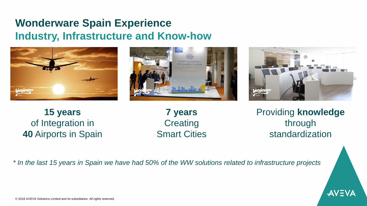
Wonderware Spain Experience
Industry, Infrastructure and Know-how
© 2018 AVEVA Solutions Limited and its subsidiaries. All rights reserved.
15 years
of Integration in
40 Airports in Spain
7 years
Creating
Smart Cities
* In the last 15 years in Spain we have had 50% of the WW solutions related to infrastructure projects
Providing knowledge
through
standardization
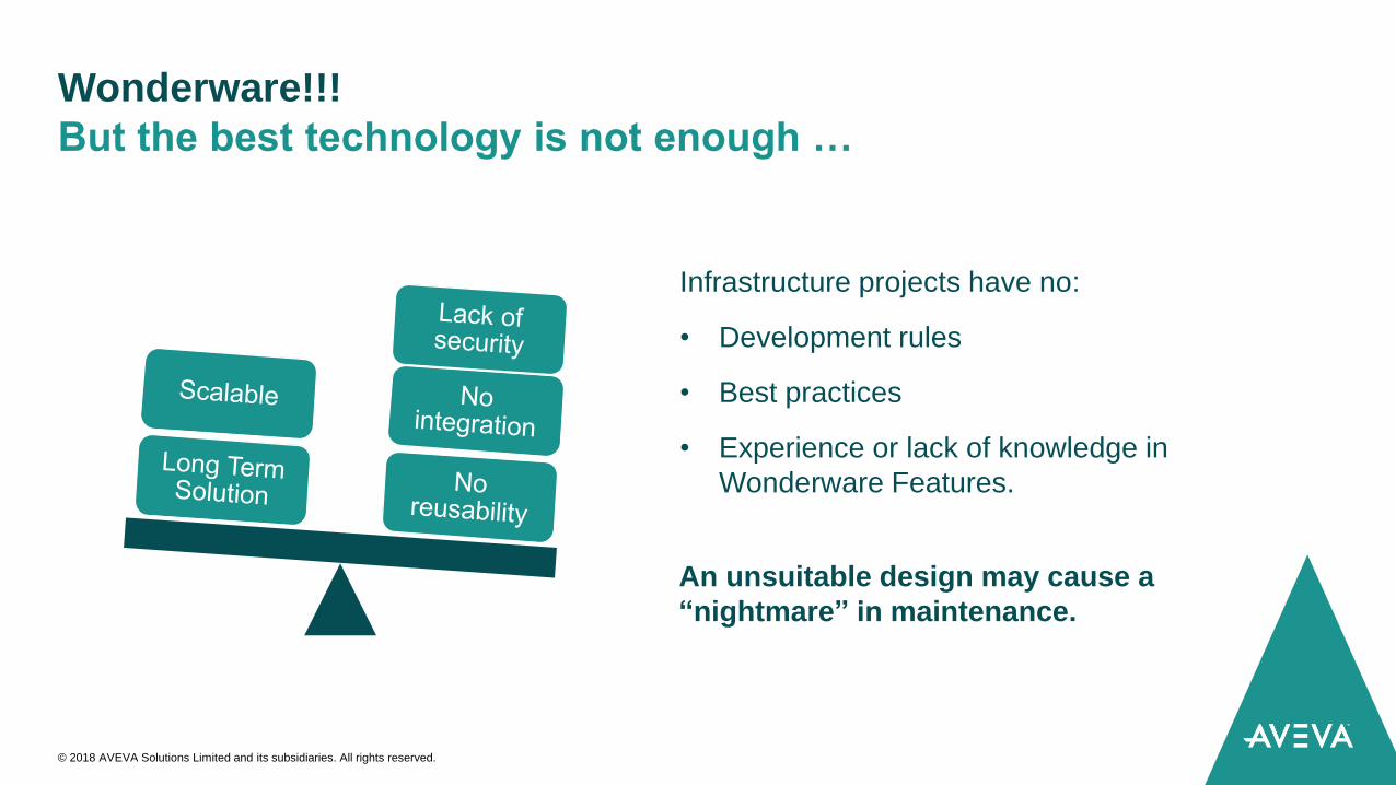
Wonderware!!!
But the best technology is not enough …
© 2018 AVEVA Solutions Limited and its subsidiaries. All rights reserved.
Infrastructure projects have no:
• Development rules
• Best practices
• Experience or lack of knowledge in
Wonderware Features.
An unsuitable design may cause a
“nightmare” in maintenance.
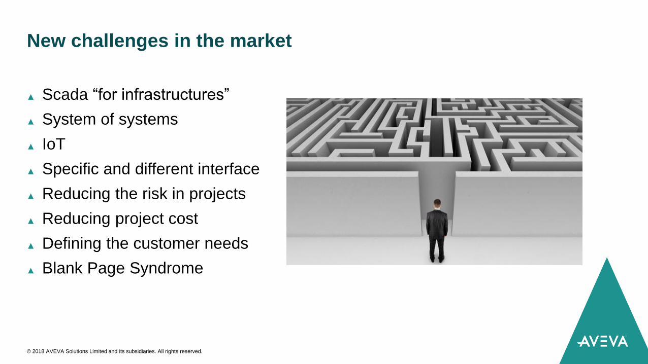
New challenges in the market
▲ Scada “for infrastructures”
▲ System of systems
▲ IoT
▲ Specific and different interface
▲ Reducing the risk in projects
▲ Reducing project cost
▲ Defining the customer needs
▲ Blank Page Syndrome
© 2018 AVEVA Solutions Limited and its subsidiaries. All rights reserved.
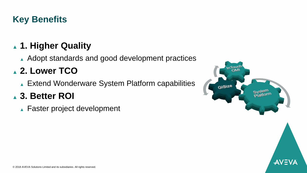
Key Benefits
▲ 1. Higher Quality
▲ Adopt standards and good development practices
▲ 2. Lower TCO
▲ Extend Wonderware System Platform capabilities
▲ 3. Better ROI
▲ Faster project development
© 2018 AVEVA Solutions Limited and its subsidiaries. All rights reserved.
Enhance the visualization and
navigation of spatial or
geographical data in Wonderware
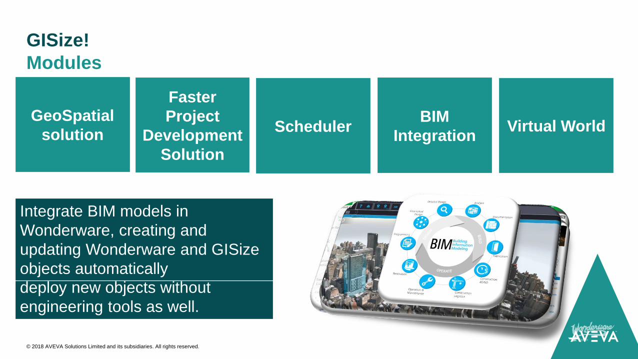
GeoSpatial
solutionScheduler
Scheduling application natively
integrated in Wonderware with
step-by-step workflows
Create Wonderware and GISize
structures (based on templates,
instances and model view) quickly
and easily, including the option to
deploy new objects without
engineering tools as well.
Faster
Project
Development
Solution
Virtual World
Represent and communicate 3D
scenes and objects in the
Wonderware environment
Integrate BIM models in
Wonderware, creating and
updating Wonderware and GISize
objects automatically
BIM
Integration
GISize!
Modules
© 2018 AVEVA Solutions Limited and its subsidiaries. All rights reserved.
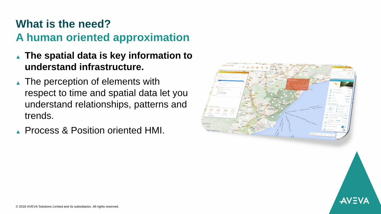
What is the need?
▲ The spatial data is key information to
understand infrastructure.
▲ The perception of elements with
respect to time and spatial data let you
understand relationships, patterns and
trends.
▲ Process & Position oriented HMI.
A human oriented approximation
© 2018 AVEVA Solutions Limited and its subsidiaries. All rights reserved.
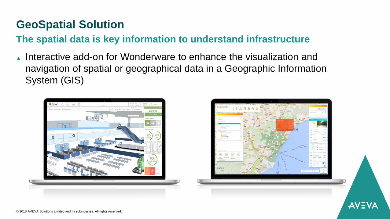
GeoSpatial Solution
▲ Interactive add-on for Wonderware to enhance the visualization and
navigation of spatial or geographical data in a Geographic Information
System (GIS)
The spatial data is key information to understand infrastructure
© 2018 AVEVA Solutions Limited and its subsidiaries. All rights reserved.
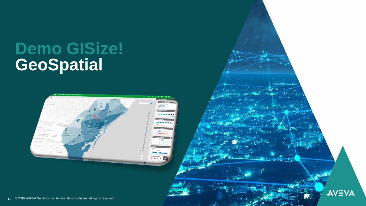
Demo GISize!GeoSpatial
© 2018 AVEVA Solutions Limited and its subsidiaries. All rights reserved.11
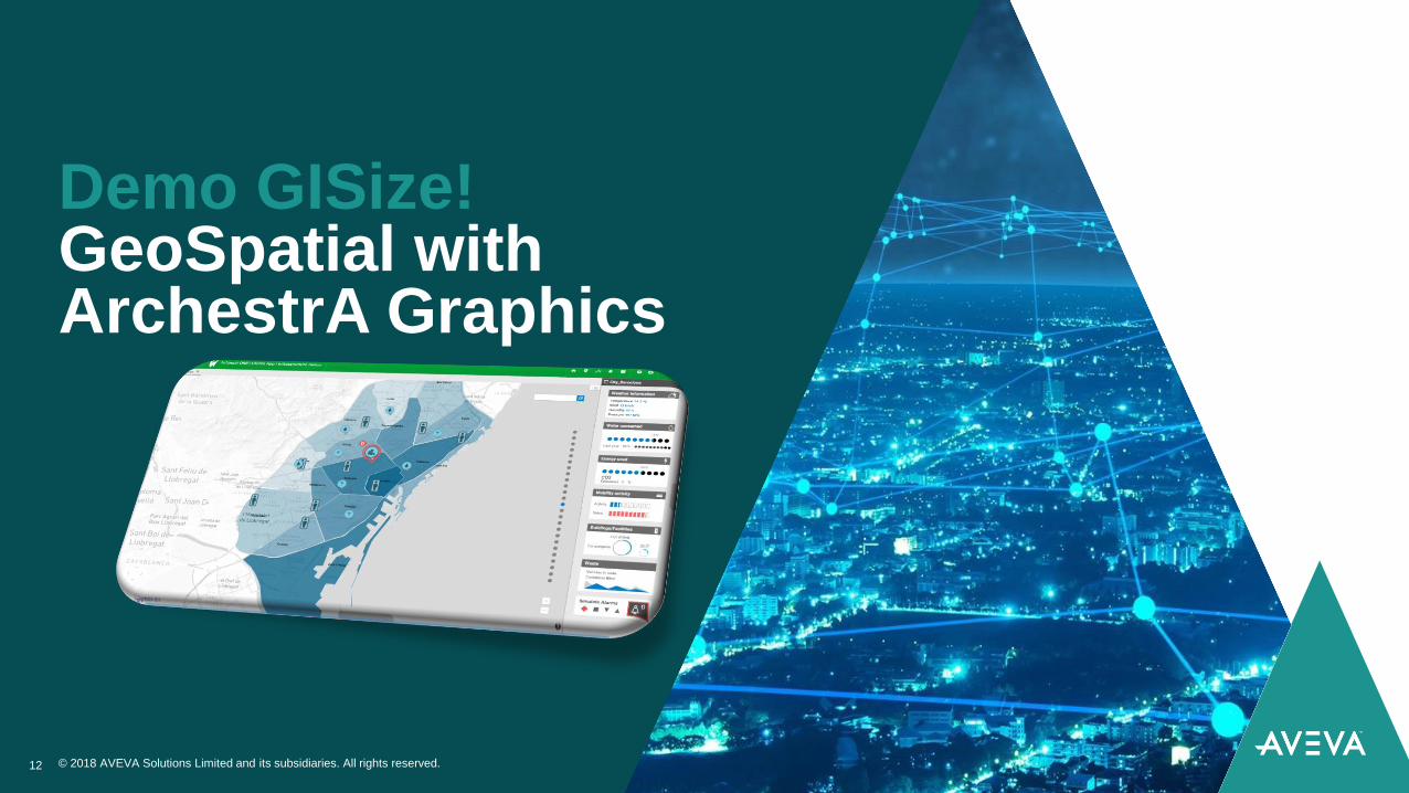
Demo GISize!GeoSpatial with ArchestrA Graphics
© 2018 AVEVA Solutions Limited and its subsidiaries. All rights reserved.12
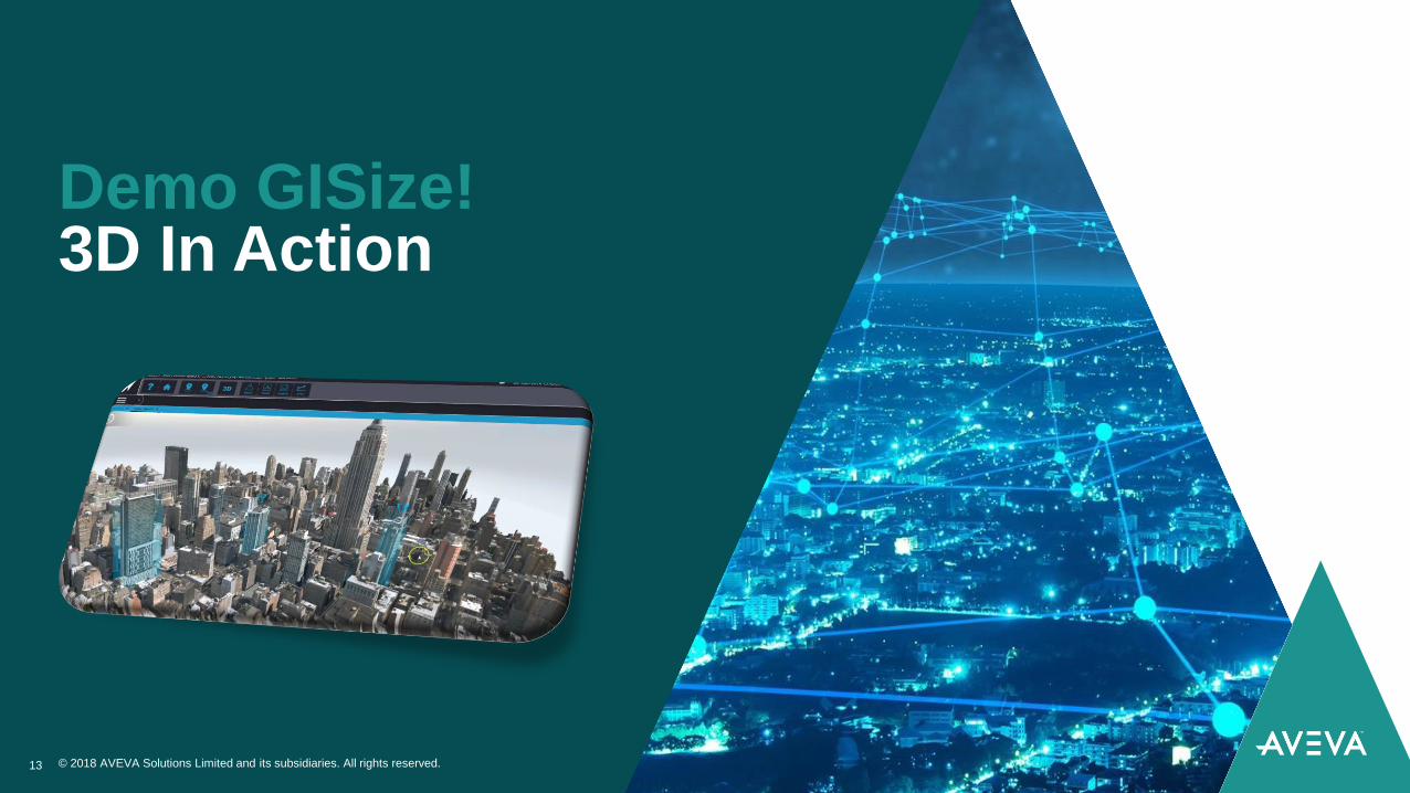
Demo GISize!3D In Action
© 2018 AVEVA Solutions Limited and its subsidiaries. All rights reserved.13
GISize!GeoSpatial - Overview
© 2018 AVEVA Solutions Limited and its subsidiaries. All rights reserved.14
Main Features
A set of wizards and visual controls to use with Wonderware that allows
the user to represent all the elements in a huge installation as spatial or
geographical data in a Geographic Information System (GIS).
▲ Interactive navigation with GIS features (zoom, layers, etc).
▲ Compatible with standard map/GIS providers
▲ Allows to create a custom map provider based on images or vector files.
▲ Capable of rendering graphic elements (markers, polygons, tooltips, etc.)
with animations.
▲ Capable of rendering ArchestrA Graphics (New in Q2 2018)
▲ Integrated with Wonderware strategy
© 2018 AVEVA Solutions Limited and its subsidiaries. All rights reserved.
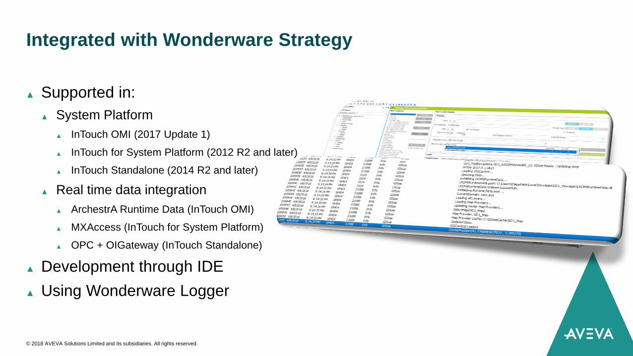
Integrated with Wonderware Strategy
▲ Supported in:
▲ System Platform
▲ InTouch OMI (2017 Update 1)
▲ InTouch for System Platform (2012 R2 and later)
▲ InTouch Standalone (2014 R2 and later)
▲ Real time data integration
▲ ArchestrA Runtime Data (InTouch OMI)
▲ MXAccess (InTouch for System Platform)
▲ OPC + OIGateway (InTouch Standalone)
▲ Development through IDE
▲ Using Wonderware Logger
© 2018 AVEVA Solutions Limited and its subsidiaries. All rights reserved.
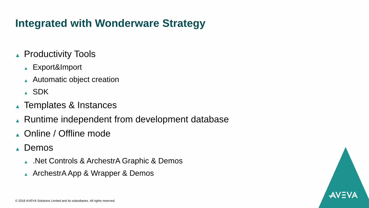
Integrated with Wonderware Strategy
▲ Productivity Tools
▲ Export&Import
▲ Automatic object creation
▲ SDK
▲ Templates & Instances
▲ Runtime independent from development database
▲ Online / Offline mode
▲ Demos
▲ .Net Controls & ArchestrA Graphic & Demos
▲ ArchestrA App & Wrapper & Demos
© 2018 AVEVA Solutions Limited and its subsidiaries. All rights reserved.
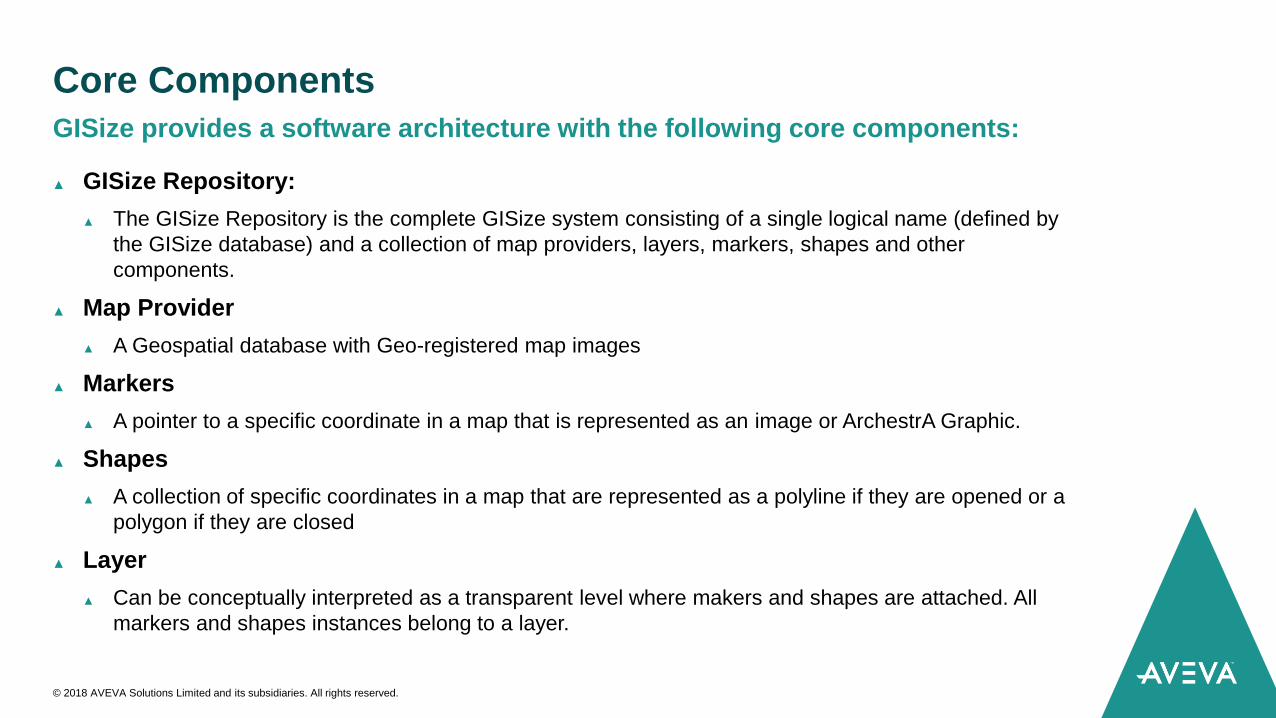
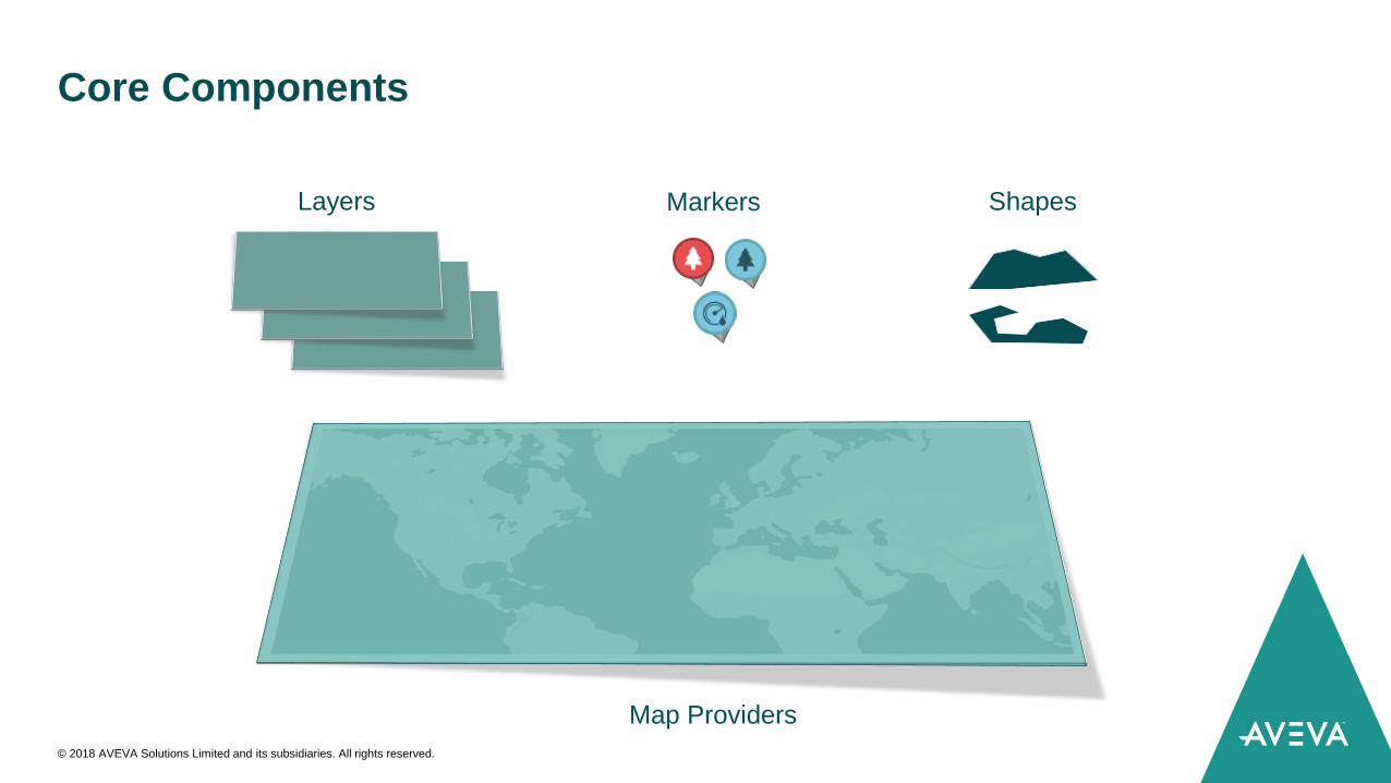
Core Components
▲ GISize Repository:
▲ The GISize Repository is the complete GISize system consisting of a single logical name (defined by
the GISize database) and a collection of map providers, layers, markers, shapes and other
components.
▲ Map Provider
▲ A Geospatial database with Geo-registered map images
▲ Markers
▲ A pointer to a specific coordinate in a map that is represented as an image or ArchestrA Graphic.
▲ Shapes
▲ A collection of specific coordinates in a map that are represented as a polyline if they are opened or a
polygon if they are closed
▲ Layer
▲ Can be conceptually interpreted as a transparent level where makers and shapes are attached. All
markers and shapes instances belong to a layer.
GISize provides a software architecture with the following core components:
© 2018 AVEVA Solutions Limited and its subsidiaries. All rights reserved.
Core Components
© 2018 AVEVA Solutions Limited and its subsidiaries. All rights reserved.
Layers Markers Shapes
Map Providers
Expo
▲ Come to our booth and you will have the chance to find out about the
brand new features of GISize!:
▲ Geospatial Solutions: Improve your infrastructures solutions and enhance the
visualization and navigation of spatial geographical data in Wonderware.
▲ 3D: Experience the future of infrastructure projects in 3D.
© 2018 AVEVA Solutions Limited and its subsidiaries. All rights reserved.