Embed Size (px)
Citation preview

GIS: The link between services and the community
Matthew Dondanville ICMA Conference Presenter

Who am I? • Why Am I Here?
• What will I accomplish?
• What can you take away from this
presentation? – That GIS can be useful and affordable for any size
city.

The Geospatial Profession • Engineering consultants are not always GIS
consultants – What is a GISP
• Bread and butter • Affordability • Industry Knowledge • Tailored Solutions
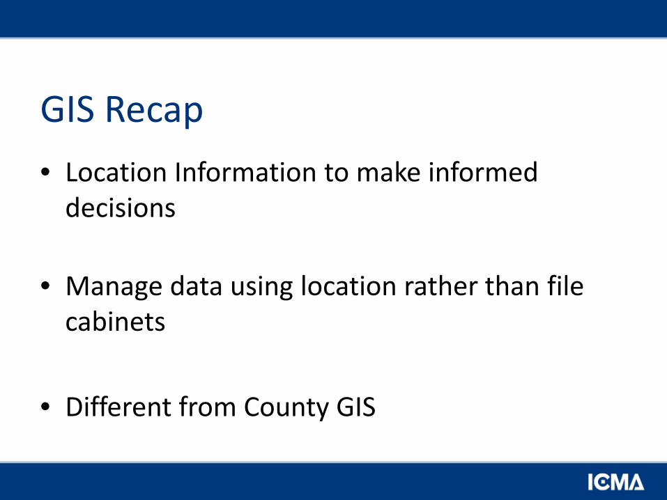
GIS Recap • Location Information to make informed
decisions
• Manage data using location rather than file cabinets
• Different from County GIS
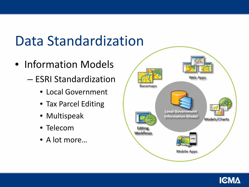
Data Standardization • Information Models
– ESRI Standardization • Local Government • Tax Parcel Editing • Multispeak • Telecom • A lot more…
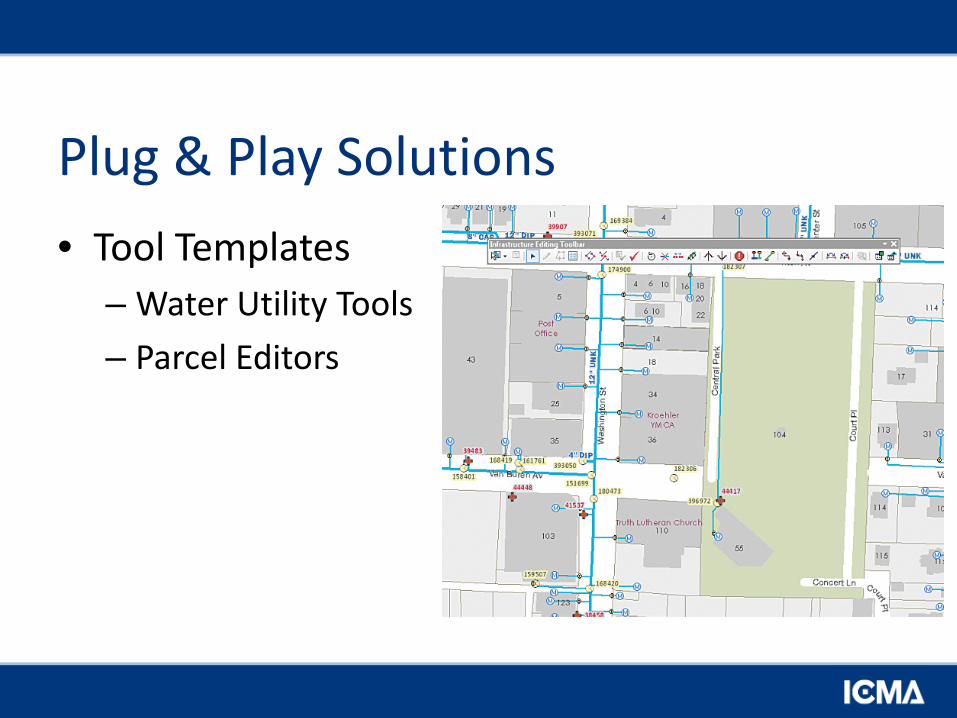
Plug & Play Solutions • Tool Templates
– Water Utility Tools – Parcel Editors
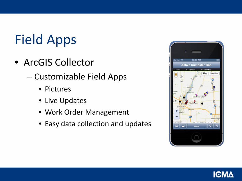
Field Apps • ArcGIS Collector
– Customizable Field Apps • Pictures • Live Updates • Work Order Management • Easy data collection and updates

County vs. City • County GIS (Most counties have a GIS)
– Parcels – Land Management – Land Use
• GIS Consortium – Regional Standardization – Edge Matching between counties and Cities
• City GIS – Local infrastructure
• Where is your sewer / Water / Electrical

Utilities • Rock Falls
– Outsourcing GIS department • Industry leading innovation • Enterprise GIS deployment • Cost Savings
• Rochelle – Fiber cut lead to GIS
• Saving Money • Keeps Customers Happy

Saving Money • Princeton, Illinois
– City wide Pole Inventory • ArcGIS Collector (Ipad)
– Your utility crew knows best – Cheap and efficient – Geocoded Photos
– Maintenance • Easy updates • Field/Office Sync
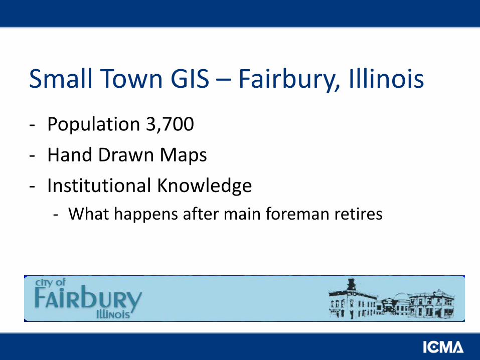
Small Town GIS – Fairbury, Illinois - Population 3,700 - Hand Drawn Maps - Institutional Knowledge
- What happens after main foreman retires
Fairbury Today • Ipad’s
– Custom Viewing tools
• Field Redline Tools – Evernote – Sync to Office for GIS Updates
• Increase Speed – Maps in the palm of your hand
How to sell the board • Describe the difference between a City Wide
GIS and what the county provides. • ROI
– Time and Efficiency – More with Less
• Not just for Big Cities – Ex. Fairbury, Illinois