Embed Size (px)
Citation preview

GIS for Global Development
Kaspar Kundert, Esri RwandaMike Ruth, Esri Professional Services
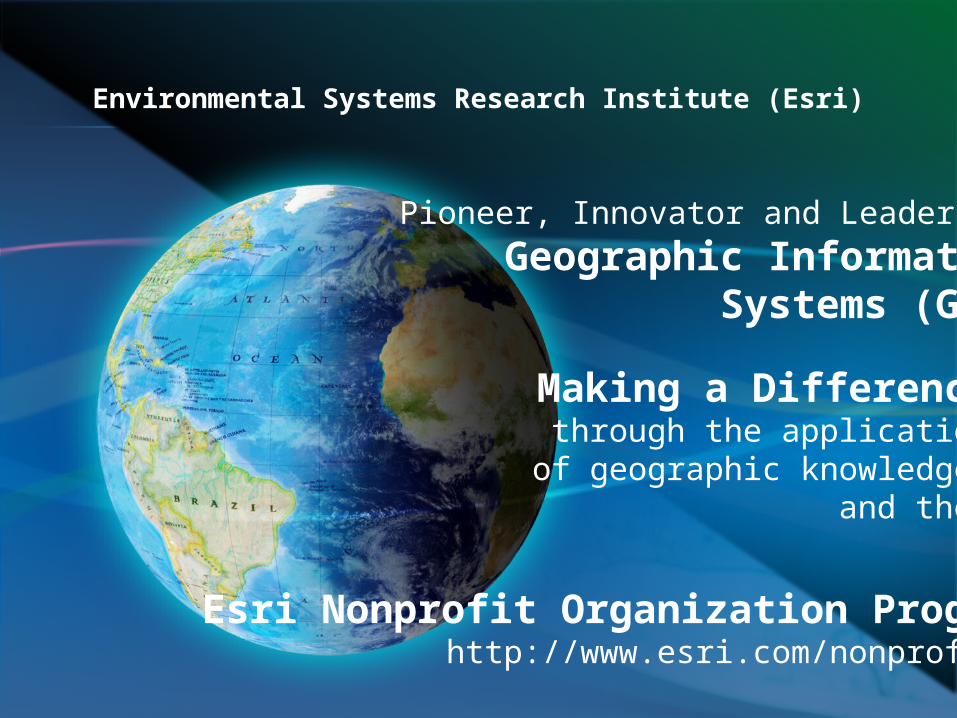
Environmental Systems Research Institute (Esri)
Pioneer, Innovator and Leader in Geographic Information
Systems (GIS)
Making a Differencethrough the application
of geographic knowledge and the…
Esri Nonprofit Organization Programhttp://www.esri.com/nonprofit/

Global Company – Strong Local Support

Esri in Africa

Welcome to Rwanda
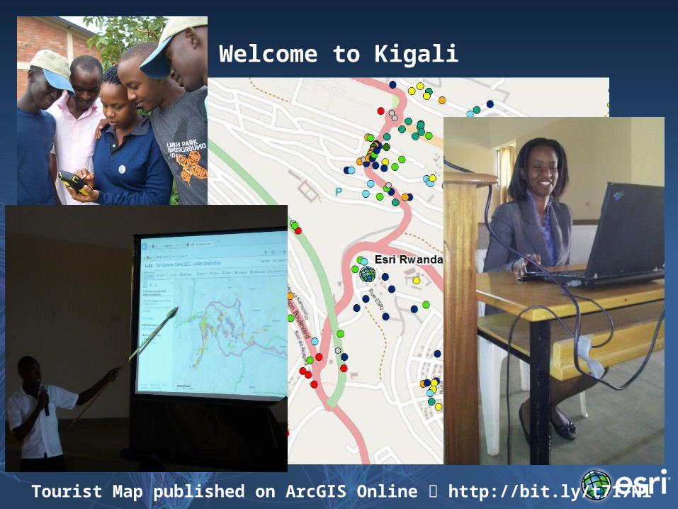
Welcome to Kigali
Tourist Map published on ArcGIS Online http://bit.ly/t717Nl
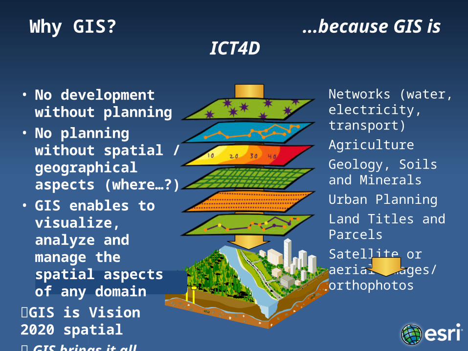
Why GIS? ...because GIS is ICT4D
• No development without planning
• No planning without spatial / geographical aspects (where…?)
• GIS enables to visualize, analyze and manage the spatial aspects of any domain
GIS is Vision 2020 spatial GIS brings it all together
Networks (water, electricity, transport)AgricultureGeology, Soils and MineralsUrban PlanningLand Titles and ParcelsSatellite or aerial images/ orthophotos
Prioritization
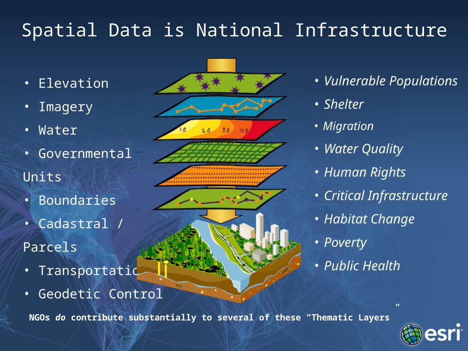
Spatial Data is National Infrastructure
• Elevation
• Imagery
• Water
• Governmental Units
• Boundaries
• Cadastral / Parcels
• Transportation
• Geodetic Control
• Vulnerable Populations
• Shelter
• Migration
• Water Quality
• Human Rights
• Critical Infrastructure
• Habitat Change
• Poverty
• Public Health
NGOs do contribute substantially to several of these “Thematic Layers”
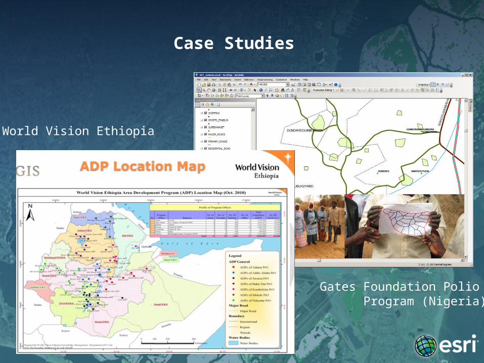
Case Studies
World Vision Ethiopia
Gates Foundation Polio Program (Nigeria)
Environmental Systems Research Institute (Esri)
Producer of ArcGIS, the completeGeographic Information System
for Desktop, Mobile, Server and Online
Making a Differencethrough the application
of geographic knowledge to real world problem solving
collaborating closely with NGOsthe UN, Schools and Universities
Esri Nonprofit Organization Programhttp://www.esri.com/nonprofit/

Contact Esri
Esri Nonprofit Organization Programhttp://www.esri.com/nonprofit/
Mr. David GadsdenOlympia WA, 98501, USAPhone: 360.754.4727 x8911Email: [email protected] Skype/Twitter: david_gadsden
Esri Licenses and Local Support through your Esri Distributor
Esri Rwanda LtdKaspar KundertP.O. Box 6867, Kigali, RwandaPhone: + 250 788 840 401Email: [email protected]
Questions?
Kaspar Kundert, Esri RwandaMike Ruth, Esri Professional Services