Embed Size (px)
Citation preview
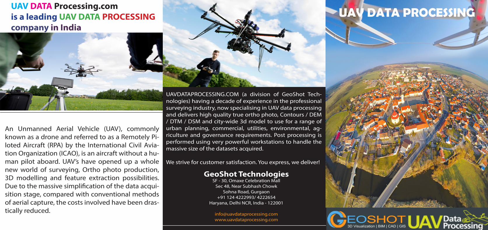
An Unmanned Aerial Vehicle (UAV), commonly known as a drone and referred to as a Remotely Pi-loted Aircraft (RPA) by the International Civil Avia-tion Organization (ICAO), is an aircraft without a hu-man pilot aboard. UAV’s have opened up a whole new world of surveying, Ortho photo production, 3D modelling and feature extraction possibilities. Due to the massive simplification of the data acqui-sition stage, compared with conventional methods of aerial capture, the costs involved have been dras-tically reduced.
UAV DATA PROCESSING
UAVDATAPROCESSING.COM (a division of GeoShot Tech-nologies) having a decade of experience in the professional surveying industry, now specialising in UAV data processing and delivers high quality true ortho photo, Contours / DEM / DTM / DSM and city-wide 3d model to use for a range of urban planning, commercial, utilities, environmental, ag-riculture and governance requirements. Post processing is performed using very powerful workstations to handle the massive size of the datasets acquired.
We strive for customer satisfaction. You express, we deliver!
GeoShot TechnologiesSF - 30, Omaxe Celebration Mall
Sec 48, Near Subhash ChowkSohna Road, Gurgaon
+91 124 4222993/ 4222654Haryana, Delhi NCR, India - 122001
UAV DATA Processing.comis a leading UAV DATA PROCESSINGcompany in India
OUR TECHNOLOGY:
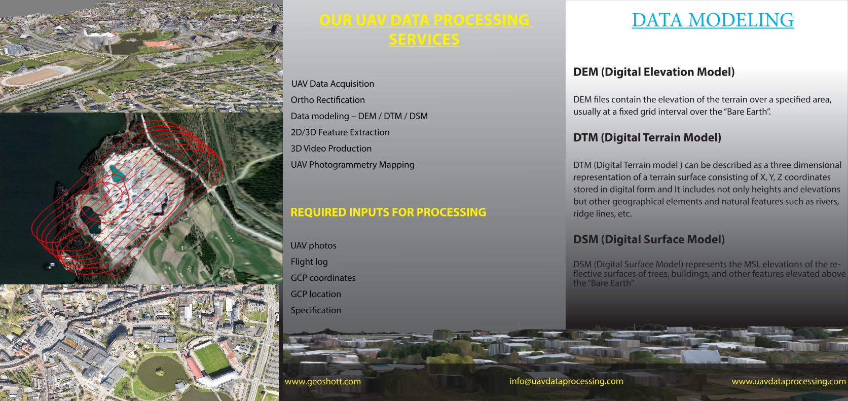
OUR UAV DATA PROCESSING SERVICES
UAV Data Acquisition
Ortho Rectification
Data modeling – DEM / DTM / DSM
2D/3D Feature Extraction
3D Video Production
UAV Photogrammetry Mapping
REQUIRED INPUTS FOR PROCESSING
UAV photos
Flight log
GCP coordinates
GCP location
Specification
DEM (Digital Elevation Model)
DEM files contain the elevation of the terrain over a specified area, usually at a fixed grid interval over the “Bare Earth”.
DTM (Digital Terrain Model)
DTM (Digital Terrain model ) can be described as a three dimensional representation of a terrain surface consisting of X, Y, Z coordinates stored in digital form and It includes not only heights and elevations but other geographical elements and natural features such as rivers, ridge lines, etc.
DSM (Digital Surface Model)
DSM (Digital Surface Model) represents the MSL elevations of the re-flective surfaces of trees, buildings, and other features elevated above the “Bare Earth”
DATA MODELING
www.uavdataprocessing.comwww.geoshott.com [email protected]