Embed Size (px)
Citation preview
GEOFidelis Data Model
Version: 3.0.0.1
Prepared for:
HQMC Installation Geospatial Information
and Services Program (GEOFidelis)
September 21, 2012
- 1 -
TABLE OF CONTENT
TABLE OF CONTENT ........................................................................................................................................................................... 1
1.0 INTRODUCTION.............................................................................................................................................................................. 7
2.0 APPROACH ....................................................................................................................................................................................... 7
3.0 MODEL ELEMENTS ....................................................................................................................................................................... 8
4.0 DATA LAYERS ............................................................................................................................................................................... 11
4.1 COMMON ..................................................................................................................................................................................... 11 ControlMonumentPoint ................................................................................................................................................................... 11 ElevationContour ............................................................................................................................................................................. 17
4.2 COMMUNICATIONS ................................................................................................................................................................... 21 CommUtilityNode ............................................................................................................................................................................ 21 CommUtilitySegment ....................................................................................................................................................................... 27
4.3 CULTURAL_RESOURCES ......................................................................................................................................................... 33 ArchaeologicalSite ........................................................................................................................................................................... 33 CemeteryOrBurialSite...................................................................................................................................................................... 38 CulturalResourcePotentialArea ....................................................................................................................................................... 44 CulturalRestrictedAccess ................................................................................................................................................................. 47 CulturalSurveyArea ......................................................................................................................................................................... 50 HistoricDistrict ................................................................................................................................................................................ 54 HistoricLandscape ........................................................................................................................................................................... 58 HistoricObject .................................................................................................................................................................................. 62 NativeAffiliation ............................................................................................................................................................................... 67 SacredSite ........................................................................................................................................................................................ 71 TraditionalCulturalResource ........................................................................................................................................................... 76
4.4 EMERGENCY_SERVICES .......................................................................................................................................................... 80 AdmiBoun_DemandZone ................................................................................................................................................................. 80
4.5 ENVIRONMENTAL ..................................................................................................................................................................... 88 AboveGroundStorageTank ............................................................................................................................................................... 88 EnvironmentalDischargePoint......................................................................................................................................................... 94 EnvironmentalRemediationSite ........................................................................................................................................................ 97 EnvironmentalSampleLocation ...................................................................................................................................................... 100 MunitionConstituentLoadingArea ................................................................................................................................................. 102 PollutionArea ................................................................................................................................................................................. 105 UnderGroundStorageTank ............................................................................................................................................................ 109
4.6 HOUSING .................................................................................................................................................................................... 114 LandManagementZone_Housing ................................................................................................................................................... 115
4.7 MILITARY_OPERATIONS ....................................................................................................................................................... 118 AmmunitionStorage ....................................................................................................................................................................... 118 ExplosiveDangerZone .................................................................................................................................................................... 123 ExplosiveSite .................................................................................................................................................................................. 126 FiringSite ....................................................................................................................................................................................... 129 ImpactArea..................................................................................................................................................................................... 134 MilitaryDropZone .......................................................................................................................................................................... 140 MilitaryLandingZone ..................................................................................................................................................................... 144 MilitaryLaserSurfaceDangerZone ................................................................................................................................................. 148 MilitaryMoutStructure ................................................................................................................................................................... 151 MilitaryObservationPosition ......................................................................................................................................................... 155 MilitaryRange ................................................................................................................................................................................ 159
- 2 -
MilitaryRangeEquipment ............................................................................................................................................................... 164 MilitaryRangeLighting ................................................................................................................................................................... 168 MilitarySurfaceDangerZone .......................................................................................................................................................... 171 MilitaryTarget ................................................................................................................................................................................ 175 MilitaryTrainingLocation .............................................................................................................................................................. 179 MilitaryWeaponDangerZone ......................................................................................................................................................... 184 NoFireArea .................................................................................................................................................................................... 188 RangeControllerPosition ............................................................................................................................................................... 191 UnexplodedOrdnanceClearance .................................................................................................................................................... 194 USMCSpecialUseAirspace ............................................................................................................................................................ 198 WeaponTargetLine ......................................................................................................................................................................... 204
4.8 NATURAL_RESOURCES .......................................................................................................................................................... 208 AgriculturalTract ........................................................................................................................................................................... 208 ForestCompartment ....................................................................................................................................................................... 214 ForestProductHarvest.................................................................................................................................................................... 217 NaturalResourceResRecProject ..................................................................................................................................................... 221 NaturalResourceSurvey ................................................................................................................................................................. 224 SpecialStatusSpecies ...................................................................................................................................................................... 229 SpeciesSpecificHabitat ................................................................................................................................................................... 237 TerrestrialEcologicalSystem .......................................................................................................................................................... 245 Vegetation ...................................................................................................................................................................................... 249 Wetland .......................................................................................................................................................................................... 256 WildlandFire .................................................................................................................................................................................. 262
4.9 PLANNING_MILCON_FSRM ................................................................................................................................................... 266 FutureProjects ............................................................................................................................................................................... 266 Landuse .......................................................................................................................................................................................... 274 MilitaryQuantityDistanceArc......................................................................................................................................................... 280 MilQuantityDistanceCombinedArc ................................................................................................................................................ 285 ProjectReference ............................................................................................................................................................................ 290
4.10 PLANNING_MILCON_FSRM_RESTRICTED ....................................................................................................................... 293 FutureProjects_HostNation ........................................................................................................................................................... 293
4.11 REAL_ESTATE ........................................................................................................................................................................ 300 AdmiBoun_MilitaryReservation..................................................................................................................................................... 300 AirAccidentZone ............................................................................................................................................................................ 303 Disposal ......................................................................................................................................................................................... 307 ExternalPropertyInterest ............................................................................................................................................................... 311 LandParcel .................................................................................................................................................................................... 314 NoiseZone ...................................................................................................................................................................................... 318 Outgrant ......................................................................................................................................................................................... 324 Site ................................................................................................................................................................................................. 329
4.12 REAL_PROPERTY ................................................................................................................................................................... 333 AccessControl ................................................................................................................................................................................ 333 AlternativeEnergy .......................................................................................................................................................................... 338 BoatRamp ...................................................................................................................................................................................... 342 Bridge ............................................................................................................................................................................................ 349 Building .......................................................................................................................................................................................... 359 Campground .................................................................................................................................................................................. 370 DocksAndWharfs ........................................................................................................................................................................... 375 Fence.............................................................................................................................................................................................. 381 GolfCourse ..................................................................................................................................................................................... 385 Impoundment ................................................................................................................................................................................. 389 Levee .............................................................................................................................................................................................. 395
- 3 -
Marina ........................................................................................................................................................................................... 407 MooringStructure ........................................................................................................................................................................... 412 NavigationalAid ............................................................................................................................................................................. 417 PavementSection ............................................................................................................................................................................ 421 RailTrack ....................................................................................................................................................................................... 427 RecreationArea .............................................................................................................................................................................. 433 Relocatable .................................................................................................................................................................................... 437 Structure ........................................................................................................................................................................................ 441 Tower ............................................................................................................................................................................................. 447 TrafficControlLight ........................................................................................................................................................................ 455 TransportationTunnel .................................................................................................................................................................... 458 VesselRepairFacility ...................................................................................................................................................................... 465 Wall ................................................................................................................................................................................................ 469 WaveAttenuator ............................................................................................................................................................................. 475 Well ................................................................................................................................................................................................ 479
4.13 UTILITIES ................................................................................................................................................................................. 484 ElectricalUtilityNode ..................................................................................................................................................................... 484 ElectricalUtilitySegment ................................................................................................................................................................ 489 GasUtilityNode .............................................................................................................................................................................. 495 GasUtilitySegment ......................................................................................................................................................................... 500 POLUtilityNode ............................................................................................................................................................................. 506 POLUtilitySegment ........................................................................................................................................................................ 512 ThermalUtilityNode ....................................................................................................................................................................... 517 ThermalUtilitySegment .................................................................................................................................................................. 523 UtilityFeature................................................................................................................................................................................. 529 WastewaterUtilityNode .................................................................................................................................................................. 536 WastewaterUtilitySegment ............................................................................................................................................................. 542 WaterUtilityNode ........................................................................................................................................................................... 547 WaterUtilitySegment ...................................................................................................................................................................... 554
5.0 DATABASE VIEWS ..................................................................................................................................................................... 559
Class 2 Real Property .................................................................................................................................................................... 560 Ingrants .......................................................................................................................................................................................... 560 Outgrants ....................................................................................................................................................................................... 560
6.0 DOMAINS ...................................................................................................................................................................................... 561
AccessControlTypeCode ................................................................................................................................................................ 561 ActivityStatusType .......................................................................................................................................................................... 561 AgricultureTractType ..................................................................................................................................................................... 562 AirfieldTargetType ......................................................................................................................................................................... 562 AlternativeEnergyType .................................................................................................................................................................. 565 ArchaeologicalSiteType ................................................................................................................................................................. 565 BanksideCode ................................................................................................................................................................................ 566 BridgeType ..................................................................................................................................................................................... 566 CampgroundClassificationType..................................................................................................................................................... 567 CategoryOfCraftFacility ................................................................................................................................................................ 567 CemeteryExhumedStatus ................................................................................................................................................................ 568 CemeteryMarkerStatus .................................................................................................................................................................. 569 ClearanceStatus ............................................................................................................................................................................. 569 CommNodeType ............................................................................................................................................................................. 569 CommSegmentType ........................................................................................................................................................................ 571 ConstructionMaterialType ............................................................................................................................................................. 571
- 4 -
ContaminantType ........................................................................................................................................................................... 571 ControlMonumentPointType .......................................................................................................................................................... 572 CoordinateCaptureMethod ............................................................................................................................................................ 573 CowardinType ................................................................................................................................................................................ 573 CutoffType ...................................................................................................................................................................................... 591 DemandZoneType .......................................................................................................................................................................... 592 DockAccessType ............................................................................................................................................................................ 592 DockPurposeType .......................................................................................................................................................................... 592 ElectricalNodeType ....................................................................................................................................................................... 593 ElectricalSegmentType .................................................................................................................................................................. 594 ElevationContourType ................................................................................................................................................................... 595 ExplosivesActivity .......................................................................................................................................................................... 595 ExternalInterestType ...................................................................................................................................................................... 596 FenceUseType ................................................................................................................................................................................ 596 FGDCFormationClassType ........................................................................................................................................................... 597 FGDCFormationSubclassType ...................................................................................................................................................... 597 FGDCFormationType .................................................................................................................................................................... 598 FireRestrictionType ....................................................................................................................................................................... 600 FiringSiteType ............................................................................................................................................................................... 601 GasNodeType ................................................................................................................................................................................. 602 GasSegmentType ............................................................................................................................................................................ 603 GroundStorageStatus ..................................................................................................................................................................... 604 GSIP_AreaUOM ............................................................................................................................................................................ 604 GSIP_LengthUOM ......................................................................................................................................................................... 605 GSIP_VolumeUOM ....................................................................................................................................................................... 607 HabitatType ................................................................................................................................................................................... 608 HistoricalStatusCode ..................................................................................................................................................................... 608 HorizontalDatumType.................................................................................................................................................................... 610 HydroGeomorphologyType ............................................................................................................................................................ 610 ImpactAreaType ............................................................................................................................................................................. 611 ImpoundmentType .......................................................................................................................................................................... 611 ITESCClassificationType ............................................................................................................................................................... 612 JurisdictionalFeatureType ............................................................................................................................................................. 639 JurisdictionType ............................................................................................................................................................................. 640 KingdomType ................................................................................................................................................................................. 641 LandClass ...................................................................................................................................................................................... 641 LandUse ......................................................................................................................................................................................... 642 LandUsePlanLength ...................................................................................................................................................................... 646 LandUseStatus ............................................................................................................................................................................... 647 LeveeType ...................................................................................................................................................................................... 647 LightType ....................................................................................................................................................................................... 648 MarinaType .................................................................................................................................................................................... 648 MaterialType .................................................................................................................................................................................. 649 MatrixType ..................................................................................................................................................................................... 649 MilitaryAirspaceType .................................................................................................................................................................... 650 MooringCategory ........................................................................................................................................................................... 650 NavigationAidType ........................................................................................................................................................................ 650 NetworkSubType ............................................................................................................................................................................ 652 NetworkType .................................................................................................................................................................................. 656 NoiseSourceType ........................................................................................................................................................................... 656 NoiseZoneMetricType .................................................................................................................................................................... 657 observationPointType .................................................................................................................................................................... 657
- 5 -
OtherSpecialStatusType ................................................................................................................................................................. 658 Ownership ...................................................................................................................................................................................... 659 PavementSectionType .................................................................................................................................................................... 659 PipeDiameterValues ...................................................................................................................................................................... 660 PlanningFeatureType .................................................................................................................................................................... 662 POLNetworkSubType ..................................................................................................................................................................... 664 POLNodeType ................................................................................................................................................................................ 665 POLSegmentType ........................................................................................................................................................................... 666 PotentialLevel ................................................................................................................................................................................ 666 quantityDistanceArcType ............................................................................................................................................................... 667 RailConstructionType .................................................................................................................................................................... 667 RailNetworkSubType...................................................................................................................................................................... 668 RangeEquipmentType .................................................................................................................................................................... 668 RangeOperationalStatus ................................................................................................................................................................ 669 RealEstateAction ............................................................................................................................................................................ 670 RecreationAreaType ...................................................................................................................................................................... 671 RecResProjectType ........................................................................................................................................................................ 673 SafetyZone ...................................................................................................................................................................................... 673 SiteUsage ....................................................................................................................................................................................... 675 SpecialStatusCategoryType ........................................................................................................................................................... 675 StorageTankProductType .............................................................................................................................................................. 676 StructuralCondition ....................................................................................................................................................................... 678 StructureMaterial ........................................................................................................................................................................... 680 ThermalNetworkSubType ............................................................................................................................................................... 682 ThermalNodeType .......................................................................................................................................................................... 683 ThermalSegmentType ..................................................................................................................................................................... 684 TowerUseType ............................................................................................................................................................................... 684 TrainingSiteType ............................................................................................................................................................................ 685 TransTunnelType ........................................................................................................................................................................... 689 TypeOfDock ................................................................................................................................................................................... 689 UtilityFeatureType ......................................................................................................................................................................... 690 UtilityOperationalStatus ................................................................................................................................................................ 698 VegetationType .............................................................................................................................................................................. 699 VerticalDatumType ........................................................................................................................................................................ 701 VesselRepairFacilityType .............................................................................................................................................................. 703 WallType ........................................................................................................................................................................................ 703 WastewaterNetworkSubType ......................................................................................................................................................... 704 WastewaterNodeType .................................................................................................................................................................... 704 WastewaterSegmentType ............................................................................................................................................................... 705 WaterElevationCode ...................................................................................................................................................................... 705 WaterNetworkSubType .................................................................................................................................................................. 706 WaterNodeType ............................................................................................................................................................................. 707 WaterSegmentType ........................................................................................................................................................................ 708 WeaponLineType ........................................................................................................................................................................... 708 WellPurpose ................................................................................................................................................................................... 708 WellResource ................................................................................................................................................................................. 709 WildlandFireCauseType ................................................................................................................................................................ 709 WildlandFireType .......................................................................................................................................................................... 710
7.0 NON-SPATIAL TABLES ............................................................................................................................................................. 711
ETRT_info ...................................................................................................................................................................................... 711 LRMT_Scenarios_Table ................................................................................................................................................................ 712

- 6 -
sdz_parameters_input .................................................................................................................................................................... 713 WDZ_parameters_input ................................................................................................................................................................. 716
8.0 DOCUMENT HISTORY .............................................................................................................................................................. 718
- 7 -
1.0 INTRODUCTION
The GEOFidelis Data Model is the standard for all USMC Installation Geospatial Information and Services
(IGI&S) geospatial data. The data model will provide data standard consistency that incorporates enough
breadth for mission execution and the ability to record data in a consistent manner across the Marine
Corps. Based on the Spatial Data Standards for Facilities, Infrastructure, and Environment (SDSFIE), the
GEOFidelis Data Model maintains a common USMC IGI&S data standard that provides all USMC
installations with a common structure for data layers and attributes. All USMC commands, installations
and reserve sites, with installation management responsibilities, will implement the GEOFidelis Data Model
to enhance interoperability and enterprise integration.
The GEOFidelis Data Model is consistent with USMC and DoD policy for IGI&S.
Meets the policy and goals set forth in Marine Corps Order (MCO) 11000.25, Installation Geospatial
Information and Services.
Compliance with goals and DoD enterprise objectives set forth in the Office of the Under Secretary
of Defense (OUSD) memorandum dated April 14, 2009 ―Installation Geospatial Information and
Services Guidance‖.
Follows DoD interoperability strategy set forth in the OUSD guidance dated May 11, 2011
―Guidance for the Adaptation of SDSFIE 3.0‖.
The GEOFidelis Data Model improves geospatial information accessibility and usability to support USMC
business processes. This geospatial data requirement will improve discovery and utilization by end-users
to meet the GEOFidelis strategic goal of supporting Marine Corps Installation Management by ―GEO-
ENABLING THE MISSION”.
2.0 APPROACH
The GEOFidelis Program has worked for several years to produce a common USMC IGI&S data model.
This effort allowed for early successes with the integration of USMC geospatial data with USMC installation
business systems. Building upon these early initiatives, the GEOFidelis Program was well positioned to
meet DoD goals focused on DoD interoperability of geospatial data and development of the SDSFIE
Version 3.0 Gold.
The GEOFidelis Program coordinated with Functional Data Set Leads and Subject Matter Experts (SMEs) at
Headquarters Marine Corps to ensure USMC enterprise-wide business requirements and the geospatial
features to support those requirements are included in the GEOFidelis Data Model. This ensured that the
resulting model will:
Integrate with business systems and provide visualization and analysis of USMC installation
business data.
Focus USMC geospatial data management to collect geospatial features best suited for Functional
Data Set leads and SME use.
Eliminate redundant business data collection by linking to authoritative business systems.
The GEOFidelis Data Model 3.0.0.1 is the primary USMC SDSFIE adaptation and defines the minimum
required geospatial data elements that must be standardized across the Marine Corps enterprise in
support of common installation management business practices and requirements. The GEOFidelis Data
- 8 -
Model 3.0.0.1 is flexible and will allow installations to create their own adaptation to meet local installation
requirements that are not met in the standard GEOFidelis Model.
3.0 MODEL ELEMENTS
A data dictionary is a part of the metadata that is used to understand the data and the databases that
contain it. The data dictionary identifies data elements and their attributes including names, definitions
and other information. The development and use of a consistent set of data elements and formats for
documenting database content and structures make information in the GEOFidelis Data Model more
accessible. Model elements will be populated differently based on the source of the feature or attribute.
If the feature or attribute is a part of the SDSFIE 3.0 LDM then the information that will populate the
model elements will be taken from the SDSFIE website (www.sdsfie.org). For features and attributes
which are not a part of SDSFIE 3.0 LDM, the model elements will be identified by the HQMC proponent
who requested its inclusion.
There are many times when a model element is designated as Not Applicable ―N/A‖. This is used to show
that the model element does not apply to that feature or attribute. For example, the model element
―Justification‖ will always be ―N/A‖ when the data structure source is SDSFIE 3.0. The use of ―N/A‖ is
allowed for the following model elements only; Justification (for feature and attribute), Default Value,
Assigned Domain, Data Source (not allowed when USMC defined), GEOFidelis Data Model 1.0 Attribute,
Business Data Relationships, and Application Link.
The elements listed in Table 1 represent the standard set of information required for each feature type.
These elements include information about the data including feature type definition, functional area
justification and advocacy, relationships to other data, and topology.
GEOFidelis Data Model Data Dictionary Feature Type Elements
Element Name Description
Feature Name Name of the feature type, as defined by SDSFIE 3.0 or HQMC for
extended feature types. All names adhere to OSD Guidance, except
when longer than 30 characters. Because of certain database
management software limitations, names longer than 30 characters
are truncated following Marine Corps Guidance.
Alias Feature type name alias, as defined by the requesting proponent.
Definition Definition of the feature type, as defined by SDSFIE 3.0 or HQMC for
extended feature types.
Object Type Permissible geometries for the feature, as identified by HQMC for
extended feature types.
Data Structure
Source
Identifies the source of the schema for the feature type. When the
feature is from the SDSFIE 3.0 Logical Data Model (LDM), the source
will be ―SDSFIE 3.0 - feature type name‖. If the feature is added by
HQMC, then the source will be ―HQMC‖.
Schema Proponent Proponent requesting the use of the feature. The proponent makes
decisions on the schema structure to include any additional
attribution.
Justification Used when USMC adds a feature type that is not included in the
SDSFIE 3.0 LDM. It describes the reasoning for adding the feature
type. If the feature type is SDSFIE 3.0 defined then this will be
- 9 -
―N/A‖.
Sub-Class Identifies whether a feature type can be sub-classed or not. Sub-
classed feature types will be uniquely named, with a unique
definition, and requires all the attribution of the parent feature. The
ability to sub-class is decided upon by the SME.
Topological
Requirements
Delineate between which of the permissible geometries to use when
creating the feature.
Applications Identifies the application(s) which require the feature type.
Business Data
Relationships
Identifies the business database(s) to which the feature is related.
DoD Facility Analysis
Category (FAC)
Codes
Identifies the applicable Department of Defense (DoD) FAC Codes
that are associated with the geospatial data layer. The FAC element
accounts for assets that are a part of Real Property and distinguish
what feature will contain each. When multiple geospatial features
are mapped to the same FAC code, the Department of Navy (DoN)
CAT Codes will also be used to differentiate what each feature will
hold. (One or more CAT Codes are associated to a FAC Code.) GEOFidelis Data
Model 1.0 Entity
Types
Identifies the GEOFidelis Data Model 1.0 feature type(s) which
crosswalk to the feature type. If one does not exist then this will be
―N/A‖. Table 1 – Feature Type Data Element Description
Attributes represent characteristics or values about a geospatial feature. Understanding each attribute in
a feature type is imperative to visualizing and analyzing the data. Each attribute is required to have
standard information defined in the Data Dictionary. Table 2 details the required attribute information.
GEOFidelis Data Model Data Dictionary Attribute Description
Attribute Element Description
Attribute Name Name of the attribute, as defined by SDSFIE 3.0 or HQMC for
extended attributes.
Description Definition of the attribute, as defined by SDSFIE 3.0 or HQMC for
extended attributes.
Data Type Format in which the data will be contained. The types available are
GUID, string, integer, decimal, Boolean, memo, time, and date.
Length Available length for storing the data. Determined by the data type
and the allowable length designated by SDSFIE 3.0 or HQMC. The
only data types that will have a variable length are integer, decimal,
and string.
Allow Nulls Determinant of whether or not the attribute is required to be
populated.
Default Value Applicable to attributes with enumerations. It displays the default
value when applicable, otherwise it will be ―N/A‖.
Assigned Domain Displays the domain name which contains the list of values that can
populate the attribute. If there is no domain then it will be ―N/A‖.
Data Structure
Source
Identifies the sources of the schema for the attribute. When the
attribute is from the SDSFIE 3.0 LDM, the source will be ―SDSFIE
3.0‖. If the attribute is added by HQMC, then the source will be
―HQMC‖.
Data Source Organization, database, or system where the information used to
populate the attribute can be obtained. If the attribute is SDSFIE
3.0 defined then this will be ―N/A‖.
Schema Proponent The proponent requesting the use of the attribute and making

- 10 -
decisions on the schema structure.
Justification Used when USMC adds an attribute that is not included in the
SDSFIE 3.0 LDM. Includes the reasoning for adding the attribute. If
the attribute is SDSFIE 3.0 defined then this will be ―N/A‖.
GEOFidelis Data
Model 1.0 Attribute
Identifies the GEOFidelis Data Model 1.0 attribute(s) which crosswalk
to the attribute. If one does not exist then this will be ―N/A‖.
Business Data
Relationships
Identifies the business database(s) to which the attribute is related.
Application Link Identifies the application(s) which require the attribute. Table 2 - Attribute Description
- 11 -
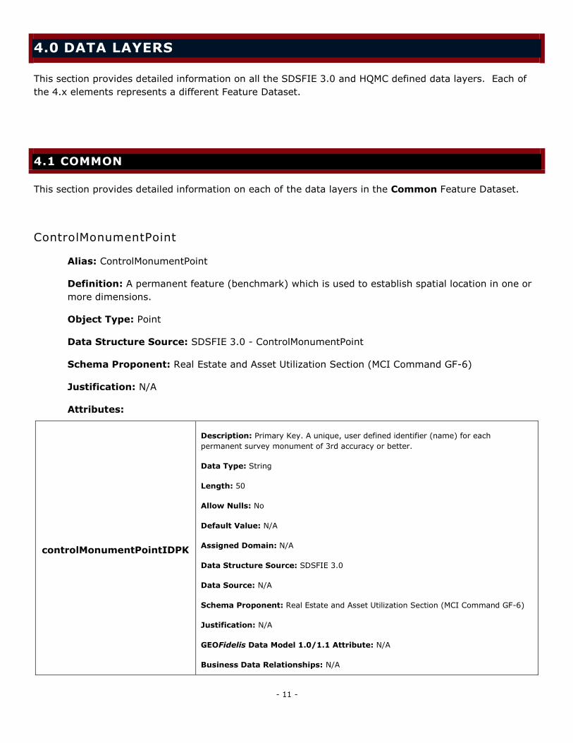
4.0 DATA LAYERS
This section provides detailed information on all the SDSFIE 3.0 and HQMC defined data layers. Each of
the 4.x elements represents a different Feature Dataset.
4.1 COMMON
This section provides detailed information on each of the data layers in the Common Feature Dataset.
ControlMonumentPoint
Alias: ControlMonumentPoint
Definition: A permanent feature (benchmark) which is used to establish spatial location in one or
more dimensions.
Object Type: Point
Data Structure Source: SDSFIE 3.0 - ControlMonumentPoint
Schema Proponent: Real Estate and Asset Utilization Section (MCI Command GF-6)
Justification: N/A
Attributes:
controlMonumentPointIDPK
Description: Primary Key. A unique, user defined identifier (name) for each
permanent survey monument of 3rd accuracy or better.
Data Type: String
Length: 50
Allow Nulls: No
Default Value: N/A
Assigned Domain: N/A
Data Structure Source: SDSFIE 3.0
Data Source: N/A
Schema Proponent: Real Estate and Asset Utilization Section (MCI Command GF-6)
Justification: N/A
GEOFidelis Data Model 1.0/1.1 Attribute: N/A
Business Data Relationships: N/A
- 12 -
Application Link : N/A
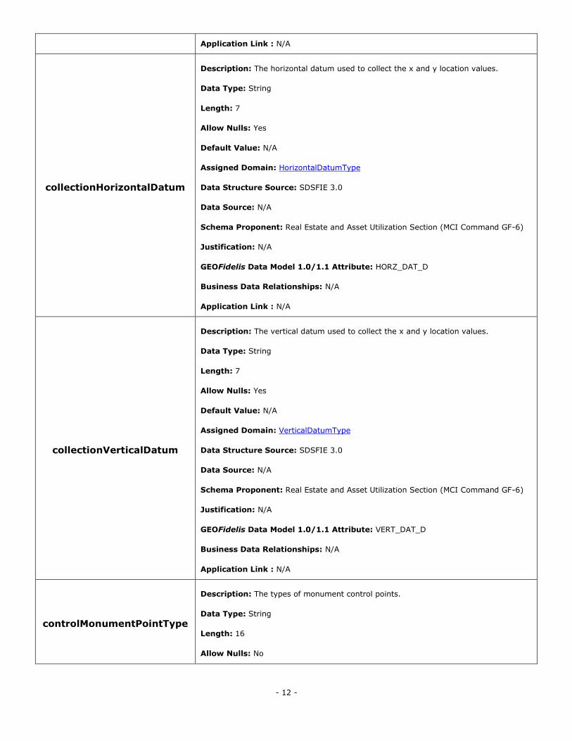
collectionHorizontalDatum
Description: The horizontal datum used to collect the x and y location values.
Data Type: String
Length: 7
Allow Nulls: Yes
Default Value: N/A
Assigned Domain: HorizontalDatumType
Data Structure Source: SDSFIE 3.0
Data Source: N/A
Schema Proponent: Real Estate and Asset Utilization Section (MCI Command GF-6)
Justification: N/A
GEOFidelis Data Model 1.0/1.1 Attribute: HORZ_DAT_D
Business Data Relationships: N/A
Application Link : N/A
collectionVerticalDatum
Description: The vertical datum used to collect the x and y location values.
Data Type: String
Length: 7
Allow Nulls: Yes
Default Value: N/A
Assigned Domain: VerticalDatumType
Data Structure Source: SDSFIE 3.0
Data Source: N/A
Schema Proponent: Real Estate and Asset Utilization Section (MCI Command GF-6)
Justification: N/A
GEOFidelis Data Model 1.0/1.1 Attribute: VERT_DAT_D
Business Data Relationships: N/A
Application Link : N/A
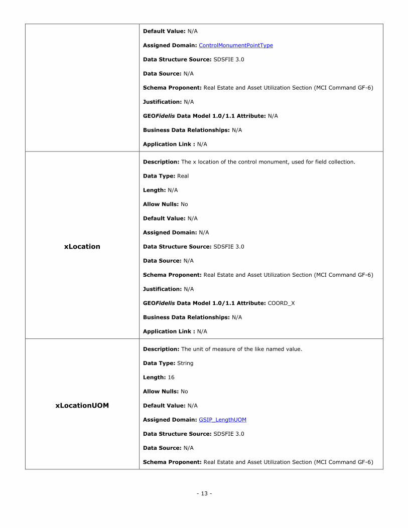
controlMonumentPointType
Description: The types of monument control points.
Data Type: String
Length: 16
Allow Nulls: No
- 13 -
Default Value: N/A
Assigned Domain: ControlMonumentPointType
Data Structure Source: SDSFIE 3.0
Data Source: N/A
Schema Proponent: Real Estate and Asset Utilization Section (MCI Command GF-6)
Justification: N/A
GEOFidelis Data Model 1.0/1.1 Attribute: N/A
Business Data Relationships: N/A
Application Link : N/A
xLocation
Description: The x location of the control monument, used for field collection.
Data Type: Real
Length: N/A
Allow Nulls: No
Default Value: N/A
Assigned Domain: N/A
Data Structure Source: SDSFIE 3.0
Data Source: N/A
Schema Proponent: Real Estate and Asset Utilization Section (MCI Command GF-6)
Justification: N/A
GEOFidelis Data Model 1.0/1.1 Attribute: COORD_X
Business Data Relationships: N/A
Application Link : N/A
xLocationUOM
Description: The unit of measure of the like named value.
Data Type: String
Length: 16
Allow Nulls: No
Default Value: N/A
Assigned Domain: GSIP_LengthUOM
Data Structure Source: SDSFIE 3.0
Data Source: N/A
Schema Proponent: Real Estate and Asset Utilization Section (MCI Command GF-6)
- 14 -
Justification: N/A
GEOFidelis Data Model 1.0/1.1 Attribute: N/A
Business Data Relationships: N/A
Application Link : N/A
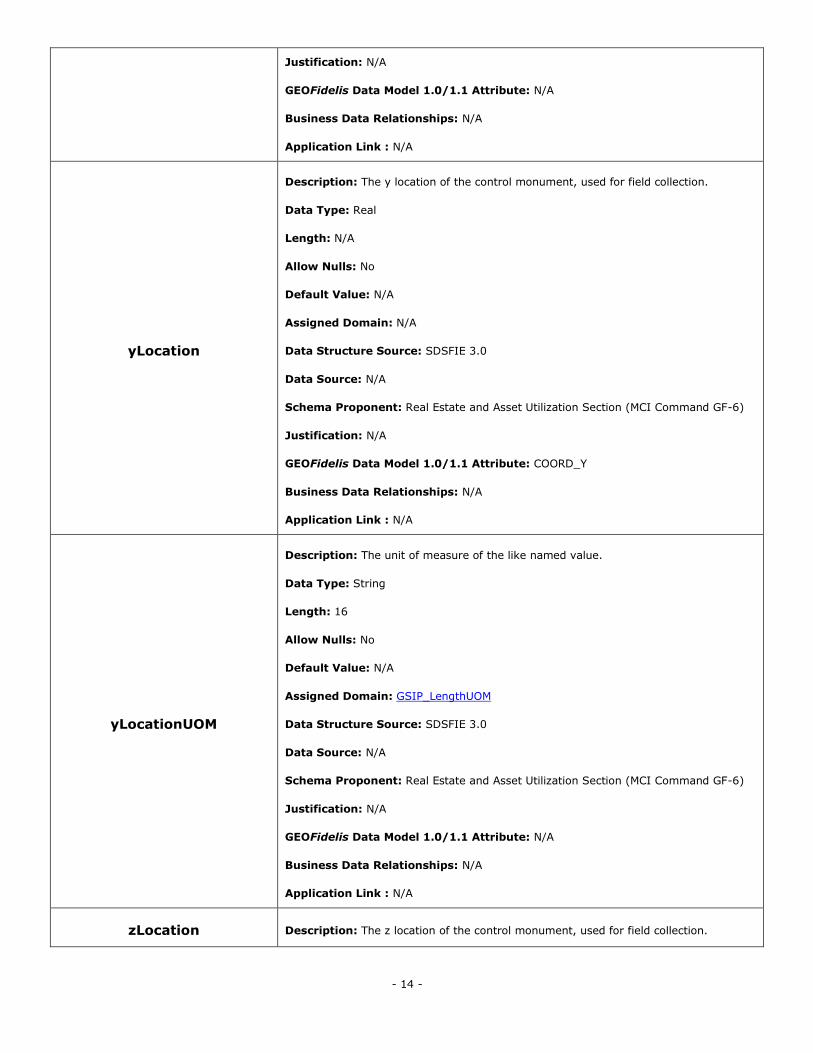
yLocation
Description: The y location of the control monument, used for field collection.
Data Type: Real
Length: N/A
Allow Nulls: No
Default Value: N/A
Assigned Domain: N/A
Data Structure Source: SDSFIE 3.0
Data Source: N/A
Schema Proponent: Real Estate and Asset Utilization Section (MCI Command GF-6)
Justification: N/A
GEOFidelis Data Model 1.0/1.1 Attribute: COORD_Y
Business Data Relationships: N/A
Application Link : N/A
yLocationUOM
Description: The unit of measure of the like named value.
Data Type: String
Length: 16
Allow Nulls: No
Default Value: N/A
Assigned Domain: GSIP_LengthUOM
Data Structure Source: SDSFIE 3.0
Data Source: N/A
Schema Proponent: Real Estate and Asset Utilization Section (MCI Command GF-6)
Justification: N/A
GEOFidelis Data Model 1.0/1.1 Attribute: N/A
Business Data Relationships: N/A
Application Link : N/A
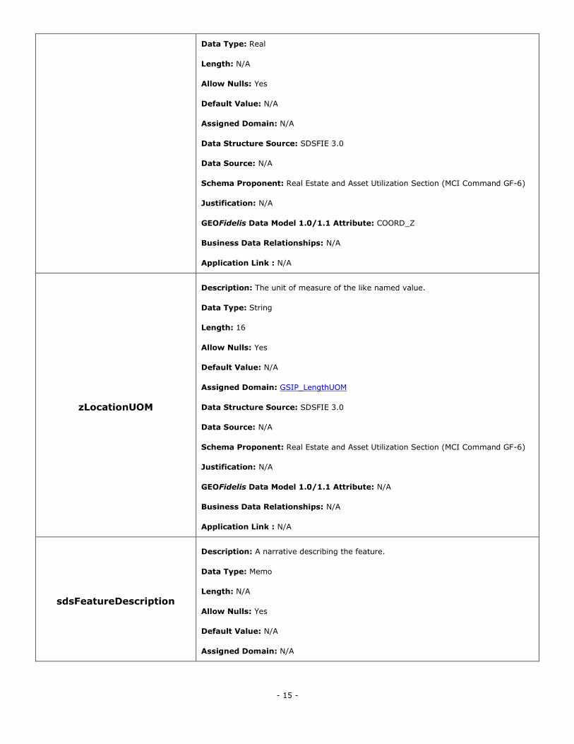
zLocation Description: The z location of the control monument, used for field collection.
- 15 -
Data Type: Real
Length: N/A
Allow Nulls: Yes
Default Value: N/A
Assigned Domain: N/A
Data Structure Source: SDSFIE 3.0
Data Source: N/A
Schema Proponent: Real Estate and Asset Utilization Section (MCI Command GF-6)
Justification: N/A
GEOFidelis Data Model 1.0/1.1 Attribute: COORD_Z
Business Data Relationships: N/A
Application Link : N/A
zLocationUOM
Description: The unit of measure of the like named value.
Data Type: String
Length: 16
Allow Nulls: Yes
Default Value: N/A
Assigned Domain: GSIP_LengthUOM
Data Structure Source: SDSFIE 3.0
Data Source: N/A
Schema Proponent: Real Estate and Asset Utilization Section (MCI Command GF-6)
Justification: N/A
GEOFidelis Data Model 1.0/1.1 Attribute: N/A
Business Data Relationships: N/A
Application Link : N/A
sdsFeatureDescription
Description: A narrative describing the feature.
Data Type: Memo
Length: N/A
Allow Nulls: Yes
Default Value: N/A
Assigned Domain: N/A
- 16 -
Data Structure Source: SDSFIE 3.0
Data Source: N/A
Schema Proponent: Real Estate and Asset Utilization Section (MCI Command GF-6)
Justification: N/A
GEOFidelis Data Model 1.0/1.1 Attribute: N/A
Business Data Relationships: N/A
Application Link : N/A
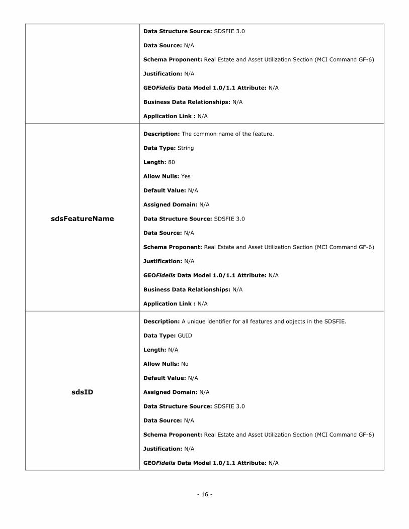
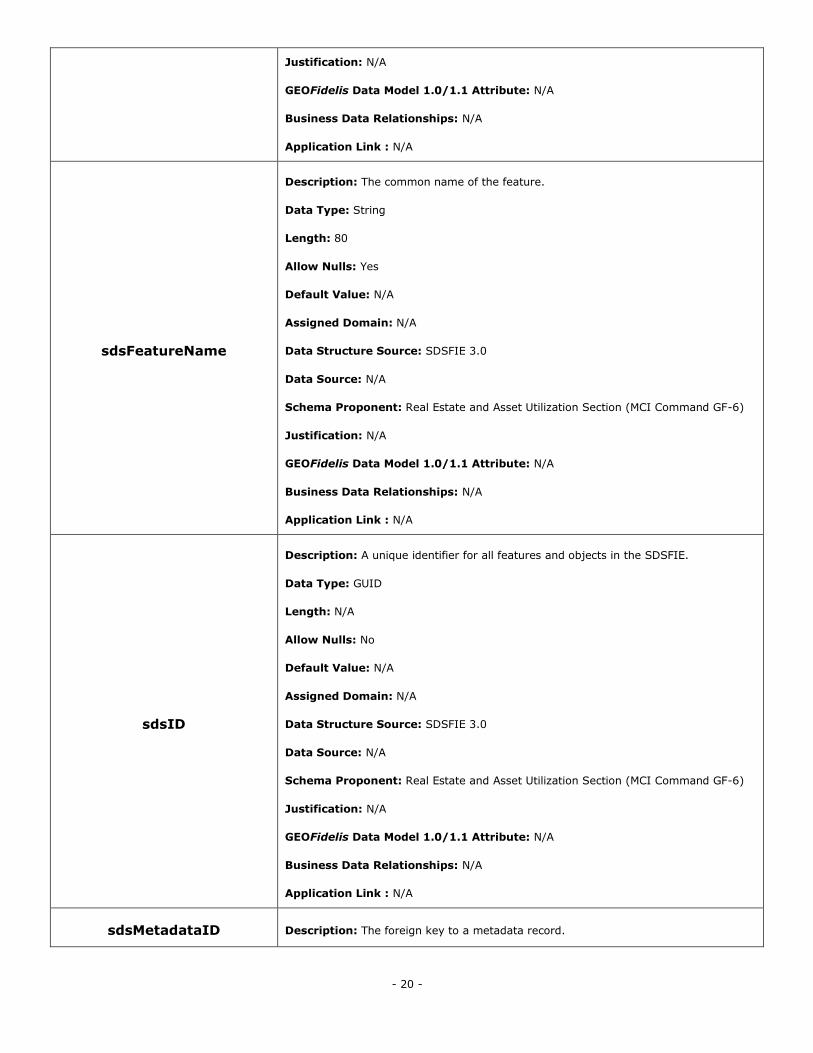
sdsFeatureName
Description: The common name of the feature.
Data Type: String
Length: 80
Allow Nulls: Yes
Default Value: N/A
Assigned Domain: N/A
Data Structure Source: SDSFIE 3.0
Data Source: N/A
Schema Proponent: Real Estate and Asset Utilization Section (MCI Command GF-6)
Justification: N/A
GEOFidelis Data Model 1.0/1.1 Attribute: N/A
Business Data Relationships: N/A
Application Link : N/A
sdsID
Description: A unique identifier for all features and objects in the SDSFIE.
Data Type: GUID
Length: N/A
Allow Nulls: No
Default Value: N/A
Assigned Domain: N/A
Data Structure Source: SDSFIE 3.0
Data Source: N/A
Schema Proponent: Real Estate and Asset Utilization Section (MCI Command GF-6)
Justification: N/A
GEOFidelis Data Model 1.0/1.1 Attribute: N/A
- 17 -
Business Data Relationships: N/A
Application Link : N/A
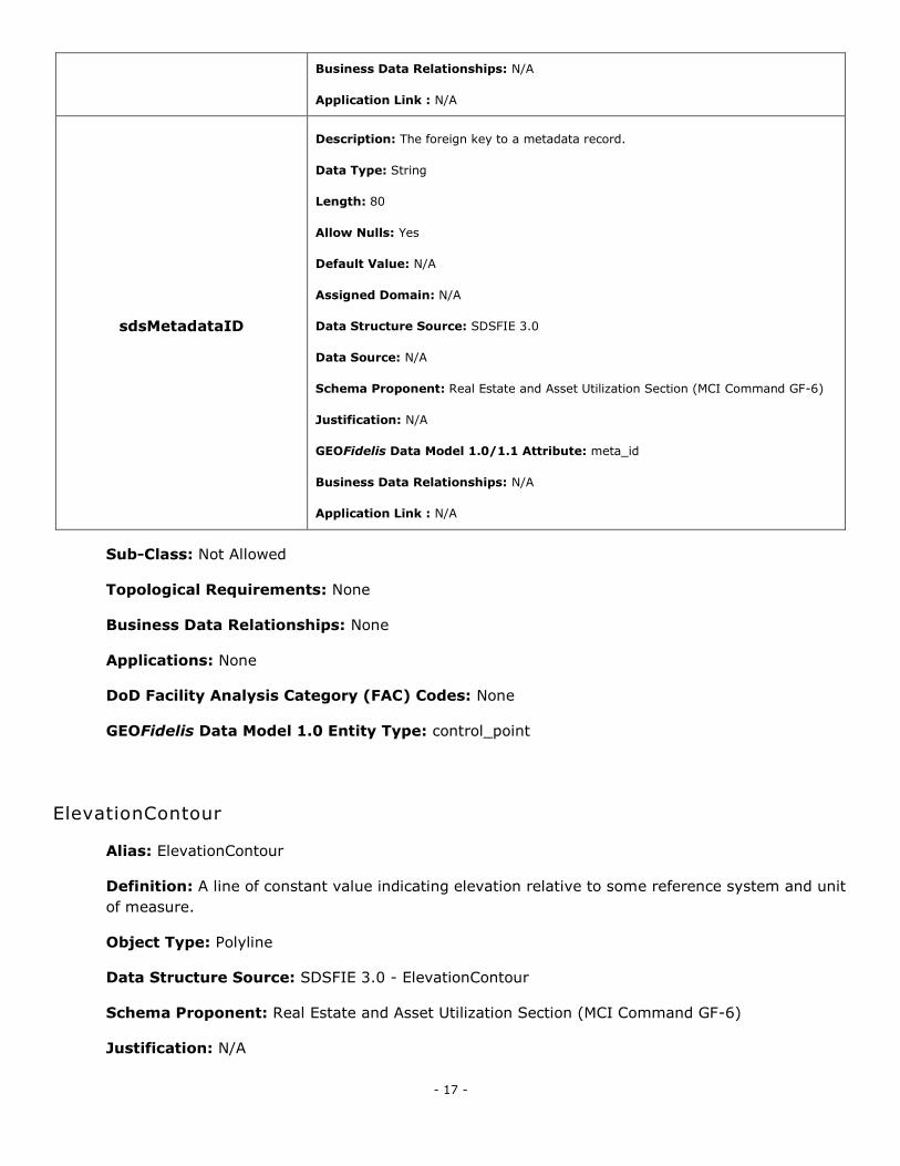
sdsMetadataID
Description: The foreign key to a metadata record.
Data Type: String
Length: 80
Allow Nulls: Yes
Default Value: N/A
Assigned Domain: N/A
Data Structure Source: SDSFIE 3.0
Data Source: N/A
Schema Proponent: Real Estate and Asset Utilization Section (MCI Command GF-6)
Justification: N/A
GEOFidelis Data Model 1.0/1.1 Attribute: meta_id
Business Data Relationships: N/A
Application Link : N/A
Sub-Class: Not Allowed
Topological Requirements: None
Business Data Relationships: None
Applications: None
DoD Facility Analysis Category (FAC) Codes: None
GEOFidelis Data Model 1.0 Entity Type: control_point
ElevationContour
Alias: ElevationContour
Definition: A line of constant value indicating elevation relative to some reference system and unit
of measure.
Object Type: Polyline
Data Structure Source: SDSFIE 3.0 - ElevationContour
Schema Proponent: Real Estate and Asset Utilization Section (MCI Command GF-6)
Justification: N/A
- 18 -
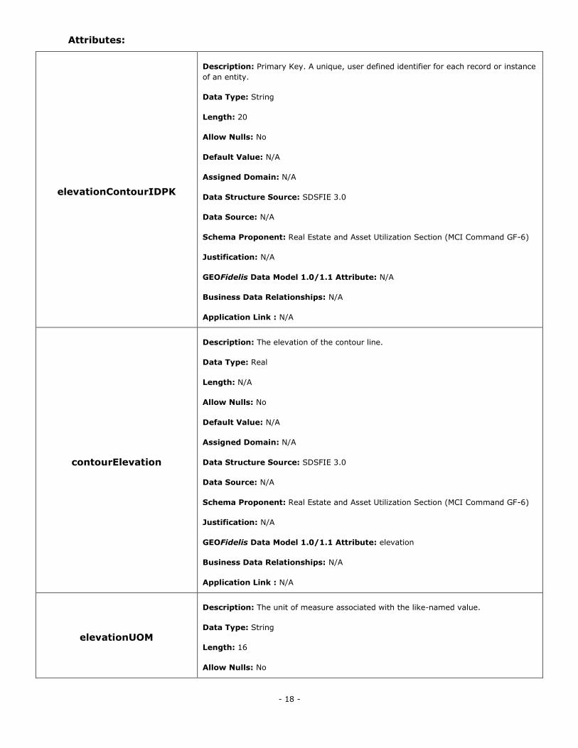
Attributes:
elevationContourIDPK
Description: Primary Key. A unique, user defined identifier for each record or instance
of an entity.
Data Type: String
Length: 20
Allow Nulls: No
Default Value: N/A
Assigned Domain: N/A
Data Structure Source: SDSFIE 3.0
Data Source: N/A
Schema Proponent: Real Estate and Asset Utilization Section (MCI Command GF-6)
Justification: N/A
GEOFidelis Data Model 1.0/1.1 Attribute: N/A
Business Data Relationships: N/A
Application Link : N/A
contourElevation
Description: The elevation of the contour line.
Data Type: Real
Length: N/A
Allow Nulls: No
Default Value: N/A
Assigned Domain: N/A
Data Structure Source: SDSFIE 3.0
Data Source: N/A
Schema Proponent: Real Estate and Asset Utilization Section (MCI Command GF-6)
Justification: N/A
GEOFidelis Data Model 1.0/1.1 Attribute: elevation
Business Data Relationships: N/A
Application Link : N/A
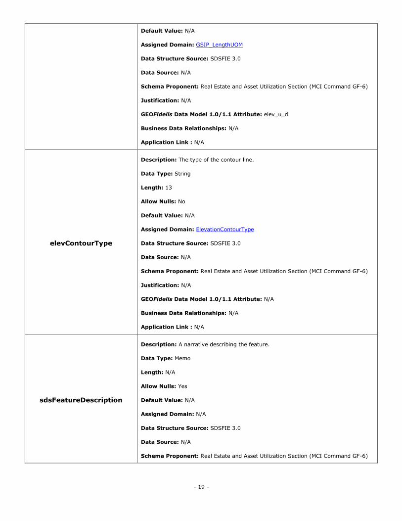
elevationUOM
Description: The unit of measure associated with the like-named value.
Data Type: String
Length: 16
Allow Nulls: No
- 19 -
Default Value: N/A
Assigned Domain: GSIP_LengthUOM
Data Structure Source: SDSFIE 3.0
Data Source: N/A
Schema Proponent: Real Estate and Asset Utilization Section (MCI Command GF-6)
Justification: N/A
GEOFidelis Data Model 1.0/1.1 Attribute: elev_u_d
Business Data Relationships: N/A
Application Link : N/A
elevContourType
Description: The type of the contour line.
Data Type: String
Length: 13
Allow Nulls: No
Default Value: N/A
Assigned Domain: ElevationContourType
Data Structure Source: SDSFIE 3.0
Data Source: N/A
Schema Proponent: Real Estate and Asset Utilization Section (MCI Command GF-6)
Justification: N/A
GEOFidelis Data Model 1.0/1.1 Attribute: N/A
Business Data Relationships: N/A
Application Link : N/A
sdsFeatureDescription
Description: A narrative describing the feature.
Data Type: Memo
Length: N/A
Allow Nulls: Yes
Default Value: N/A
Assigned Domain: N/A
Data Structure Source: SDSFIE 3.0
Data Source: N/A
Schema Proponent: Real Estate and Asset Utilization Section (MCI Command GF-6)
- 20 -
Justification: N/A
GEOFidelis Data Model 1.0/1.1 Attribute: N/A
Business Data Relationships: N/A
Application Link : N/A
sdsFeatureName
Description: The common name of the feature.
Data Type: String
Length: 80
Allow Nulls: Yes
Default Value: N/A
Assigned Domain: N/A
Data Structure Source: SDSFIE 3.0
Data Source: N/A
Schema Proponent: Real Estate and Asset Utilization Section (MCI Command GF-6)
Justification: N/A
GEOFidelis Data Model 1.0/1.1 Attribute: N/A
Business Data Relationships: N/A
Application Link : N/A
sdsID
Description: A unique identifier for all features and objects in the SDSFIE.
Data Type: GUID
Length: N/A
Allow Nulls: No
Default Value: N/A
Assigned Domain: N/A
Data Structure Source: SDSFIE 3.0
Data Source: N/A
Schema Proponent: Real Estate and Asset Utilization Section (MCI Command GF-6)
Justification: N/A
GEOFidelis Data Model 1.0/1.1 Attribute: N/A
Business Data Relationships: N/A
Application Link : N/A
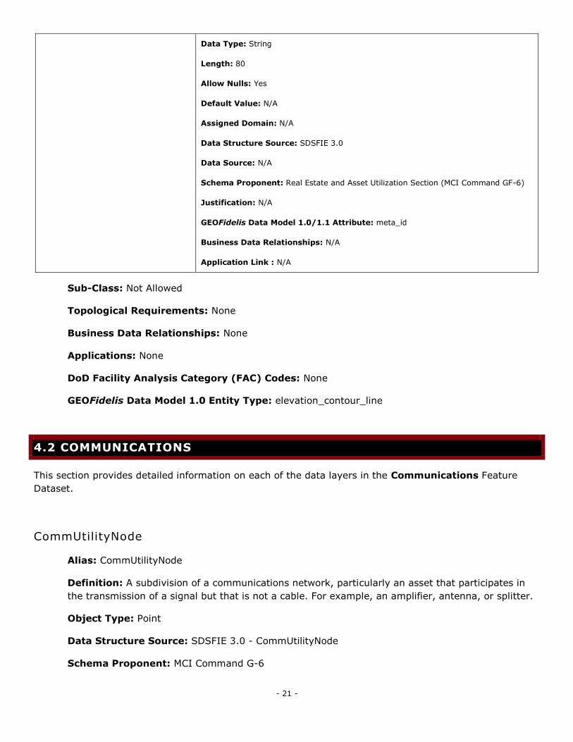
sdsMetadataID Description: The foreign key to a metadata record.
- 21 -
Data Type: String
Length: 80
Allow Nulls: Yes
Default Value: N/A
Assigned Domain: N/A
Data Structure Source: SDSFIE 3.0
Data Source: N/A
Schema Proponent: Real Estate and Asset Utilization Section (MCI Command GF-6)
Justification: N/A
GEOFidelis Data Model 1.0/1.1 Attribute: meta_id
Business Data Relationships: N/A
Application Link : N/A
Sub-Class: Not Allowed
Topological Requirements: None
Business Data Relationships: None
Applications: None
DoD Facility Analysis Category (FAC) Codes: None
GEOFidelis Data Model 1.0 Entity Type: elevation_contour_line
4.2 COMMUNICATIONS
This section provides detailed information on each of the data layers in the Communications Feature
Dataset.
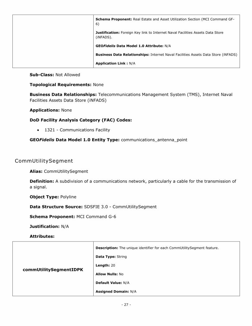
CommUtilityNode
Alias: CommUtilityNode
Definition: A subdivision of a communications network, particularly an asset that participates in
the transmission of a signal but that is not a cable. For example, an amplifier, antenna, or splitter.
Object Type: Point
Data Structure Source: SDSFIE 3.0 - CommUtilityNode
Schema Proponent: MCI Command G-6
- 22 -
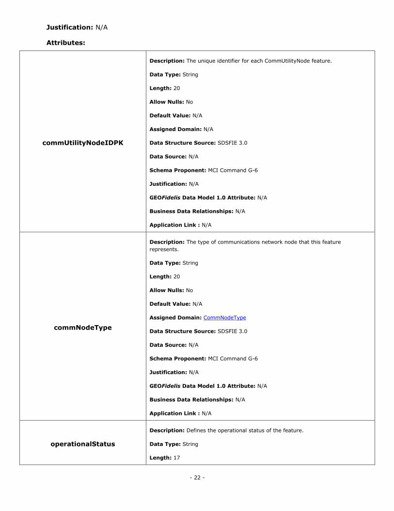
Justification: N/A
Attributes:
commUtilityNodeIDPK
Description: The unique identifier for each CommUtilityNode feature.
Data Type: String
Length: 20
Allow Nulls: No
Default Value: N/A
Assigned Domain: N/A
Data Structure Source: SDSFIE 3.0
Data Source: N/A
Schema Proponent: MCI Command G-6
Justification: N/A
GEOFidelis Data Model 1.0 Attribute: N/A
Business Data Relationships: N/A
Application Link : N/A
commNodeType
Description: The type of communications network node that this feature
represents.
Data Type: String
Length: 20
Allow Nulls: No
Default Value: N/A
Assigned Domain: CommNodeType
Data Structure Source: SDSFIE 3.0
Data Source: N/A
Schema Proponent: MCI Command G-6
Justification: N/A
GEOFidelis Data Model 1.0 Attribute: N/A
Business Data Relationships: N/A
Application Link : N/A
operationalStatus
Description: Defines the operational status of the feature.
Data Type: String
Length: 17
- 23 -
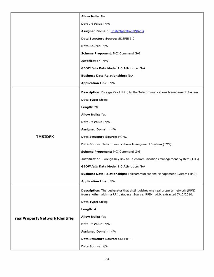
Allow Nulls: No
Default Value: N/A
Assigned Domain: UtilityOperationalStatus
Data Structure Source: SDSFIE 3.0
Data Source: N/A
Schema Proponent: MCI Command G-6
Justification: N/A
GEOFidelis Data Model 1.0 Attribute: N/A
Business Data Relationships: N/A
Application Link : N/A
TMSIDFK
Description: Foreign Key linking to the Telecommunications Management System.
Data Type: String
Length: 20
Allow Nulls: Yes
Default Value: N/A
Assigned Domain: N/A
Data Structure Source: HQMC
Data Source: Telecommunications Management System (TMS)
Schema Proponent: MCI Command G-6
Justification: Foreign Key link to Telecommunications Management System (TMS)
GEOFidelis Data Model 1.0 Attribute: N/A
Business Data Relationships: Telecommunications Management System (TMS)
Application Link : N/A
realPropertyNetworkIdentifier
Description: The designator that distinguishes one real property network (RPN)
from another within a RPI database. Source: RPIM, v4.0, extracted 7/12/2010.
Data Type: String
Length: 4
Allow Nulls: Yes
Default Value: N/A
Assigned Domain: N/A
Data Structure Source: SDSFIE 3.0
Data Source: N/A
- 24 -
Schema Proponent: MCI Command G-6
Justification: N/A
GEOFidelis Data Model 1.0 Attribute: N/A
Business Data Relationships: N/A
Application Link : N/A
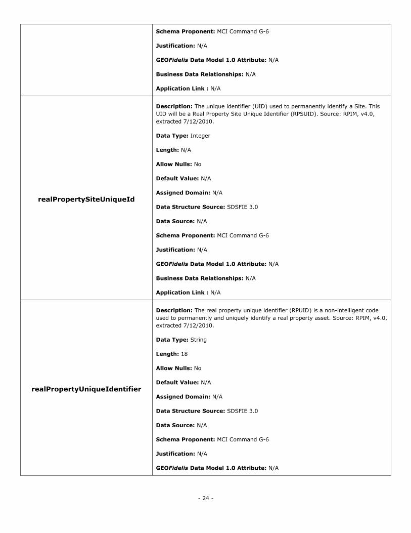
realPropertySiteUniqueId
Description: The unique identifier (UID) used to permanently identify a Site. This
UID will be a Real Property Site Unique Identifier (RPSUID). Source: RPIM, v4.0,
extracted 7/12/2010.
Data Type: Integer
Length: N/A
Allow Nulls: No
Default Value: N/A
Assigned Domain: N/A
Data Structure Source: SDSFIE 3.0
Data Source: N/A
Schema Proponent: MCI Command G-6
Justification: N/A
GEOFidelis Data Model 1.0 Attribute: N/A
Business Data Relationships: N/A
Application Link : N/A
realPropertyUniqueIdentifier
Description: The real property unique identifier (RPUID) is a non-intelligent code
used to permanently and uniquely identify a real property asset. Source: RPIM, v4.0,
extracted 7/12/2010.
Data Type: String
Length: 18
Allow Nulls: No
Default Value: N/A
Assigned Domain: N/A
Data Structure Source: SDSFIE 3.0
Data Source: N/A
Schema Proponent: MCI Command G-6
Justification: N/A
GEOFidelis Data Model 1.0 Attribute: N/A
- 25 -
Business Data Relationships: N/A
Application Link : N/A
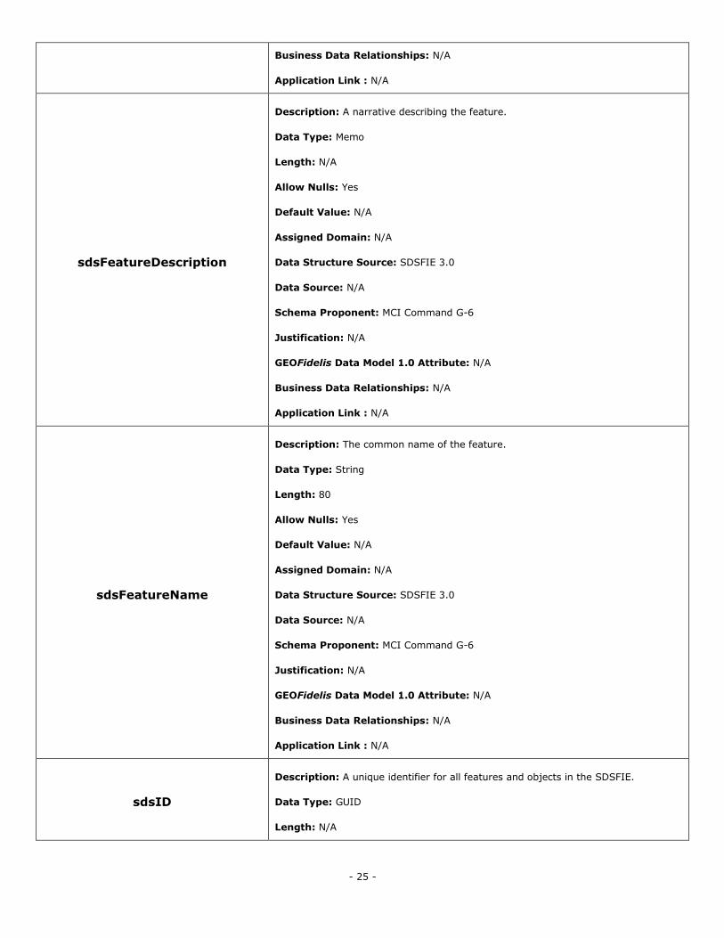
sdsFeatureDescription
Description: A narrative describing the feature.
Data Type: Memo
Length: N/A
Allow Nulls: Yes
Default Value: N/A
Assigned Domain: N/A
Data Structure Source: SDSFIE 3.0
Data Source: N/A
Schema Proponent: MCI Command G-6
Justification: N/A
GEOFidelis Data Model 1.0 Attribute: N/A
Business Data Relationships: N/A
Application Link : N/A
sdsFeatureName
Description: The common name of the feature.
Data Type: String
Length: 80
Allow Nulls: Yes
Default Value: N/A
Assigned Domain: N/A
Data Structure Source: SDSFIE 3.0
Data Source: N/A
Schema Proponent: MCI Command G-6
Justification: N/A
GEOFidelis Data Model 1.0 Attribute: N/A
Business Data Relationships: N/A
Application Link : N/A
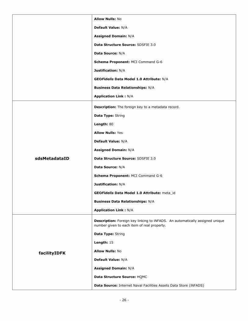
sdsID
Description: A unique identifier for all features and objects in the SDSFIE.
Data Type: GUID
Length: N/A
- 26 -
Allow Nulls: No
Default Value: N/A
Assigned Domain: N/A
Data Structure Source: SDSFIE 3.0
Data Source: N/A
Schema Proponent: MCI Command G-6
Justification: N/A
GEOFidelis Data Model 1.0 Attribute: N/A
Business Data Relationships: N/A
Application Link : N/A
sdsMetadataID
Description: The foreign key to a metadata record.
Data Type: String
Length: 80
Allow Nulls: Yes
Default Value: N/A
Assigned Domain: N/A
Data Structure Source: SDSFIE 3.0
Data Source: N/A
Schema Proponent: MCI Command G-6
Justification: N/A
GEOFidelis Data Model 1.0 Attribute: meta_id
Business Data Relationships: N/A
Application Link : N/A
facilityIDFK
Description: Foreign key linking to iNFADS. An automatically assigned unique
number given to each item of real property.
Data Type: String
Length: 15
Allow Nulls: No
Default Value: N/A
Assigned Domain: N/A
Data Structure Source: HQMC
Data Source: Internet Naval Facilities Assets Data Store (iNFADS)
- 27 -
Schema Proponent: Real Estate and Asset Utilization Section (MCI Command GF-
6)
Justification: Foreign Key link to Internet Naval Facilities Assets Data Store
(iNFADS).
GEOFidelis Data Model 1.0 Attribute: N/A
Business Data Relationships: Internet Naval Facilities Assets Data Store (iNFADS)
Application Link : N/A
Sub-Class: Not Allowed
Topological Requirements: None
Business Data Relationships: Telecommunications Management System (TMS), Internet Naval
Facilities Assets Data Store (iNFADS)
Applications: None
DoD Facility Analysis Category (FAC) Codes:
1321 - Communications Facility
GEOFidelis Data Model 1.0 Entity Type: communications_antenna_point
CommUtilitySegment
Alias: CommUtilitySegment
Definition: A subdivision of a communications network, particularly a cable for the transmission of
a signal.
Object Type: Polyline
Data Structure Source: SDSFIE 3.0 - CommUtilitySegment
Schema Proponent: MCI Command G-6
Justification: N/A
Attributes:
commUtilitySegmentIDPK
Description: The unique identifier for each CommUtilitySegment feature.
Data Type: String
Length: 20
Allow Nulls: No
Default Value: N/A
Assigned Domain: N/A
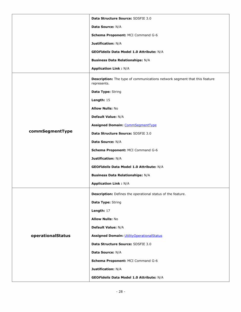
- 28 -
Data Structure Source: SDSFIE 3.0
Data Source: N/A
Schema Proponent: MCI Command G-6
Justification: N/A
GEOFidelis Data Model 1.0 Attribute: N/A
Business Data Relationships: N/A
Application Link : N/A
commSegmentType
Description: The type of communications network segment that this feature
represents.
Data Type: String
Length: 15
Allow Nulls: No
Default Value: N/A
Assigned Domain: CommSegmentType
Data Structure Source: SDSFIE 3.0
Data Source: N/A
Schema Proponent: MCI Command G-6
Justification: N/A
GEOFidelis Data Model 1.0 Attribute: N/A
Business Data Relationships: N/A
Application Link : N/A
operationalStatus
Description: Defines the operational status of the feature.
Data Type: String
Length: 17
Allow Nulls: No
Default Value: N/A
Assigned Domain: UtilityOperationalStatus
Data Structure Source: SDSFIE 3.0
Data Source: N/A
Schema Proponent: MCI Command G-6
Justification: N/A
GEOFidelis Data Model 1.0 Attribute: N/A
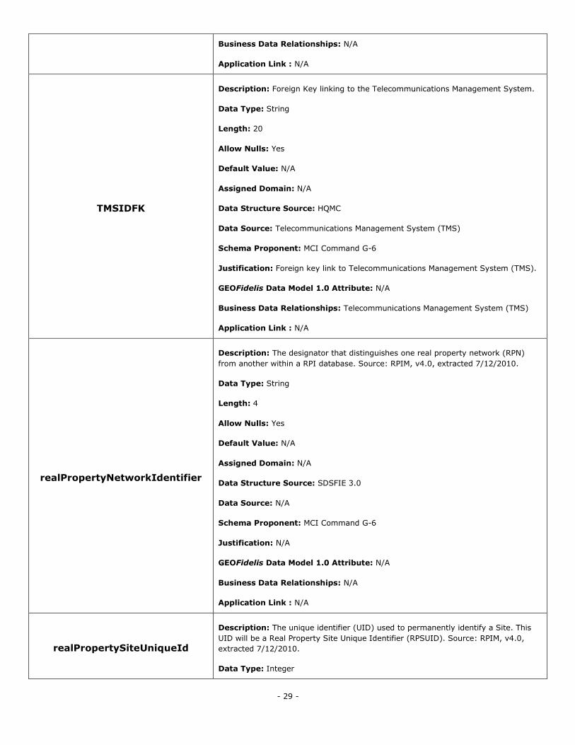
- 29 -
Business Data Relationships: N/A
Application Link : N/A
TMSIDFK
Description: Foreign Key linking to the Telecommunications Management System.
Data Type: String
Length: 20
Allow Nulls: Yes
Default Value: N/A
Assigned Domain: N/A
Data Structure Source: HQMC
Data Source: Telecommunications Management System (TMS)
Schema Proponent: MCI Command G-6
Justification: Foreign key link to Telecommunications Management System (TMS).
GEOFidelis Data Model 1.0 Attribute: N/A
Business Data Relationships: Telecommunications Management System (TMS)
Application Link : N/A
realPropertyNetworkIdentifier
Description: The designator that distinguishes one real property network (RPN)
from another within a RPI database. Source: RPIM, v4.0, extracted 7/12/2010.
Data Type: String
Length: 4
Allow Nulls: Yes
Default Value: N/A
Assigned Domain: N/A
Data Structure Source: SDSFIE 3.0
Data Source: N/A
Schema Proponent: MCI Command G-6
Justification: N/A
GEOFidelis Data Model 1.0 Attribute: N/A
Business Data Relationships: N/A
Application Link : N/A
realPropertySiteUniqueId
Description: The unique identifier (UID) used to permanently identify a Site. This
UID will be a Real Property Site Unique Identifier (RPSUID). Source: RPIM, v4.0,
extracted 7/12/2010.
Data Type: Integer
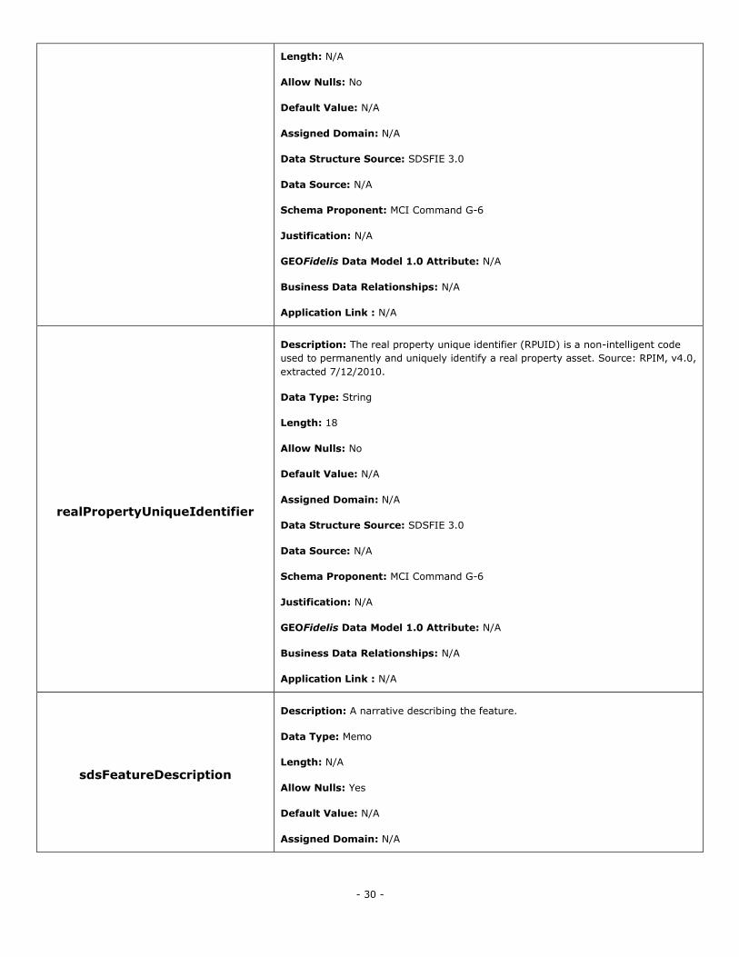
- 30 -
Length: N/A
Allow Nulls: No
Default Value: N/A
Assigned Domain: N/A
Data Structure Source: SDSFIE 3.0
Data Source: N/A
Schema Proponent: MCI Command G-6
Justification: N/A
GEOFidelis Data Model 1.0 Attribute: N/A
Business Data Relationships: N/A
Application Link : N/A
realPropertyUniqueIdentifier
Description: The real property unique identifier (RPUID) is a non-intelligent code
used to permanently and uniquely identify a real property asset. Source: RPIM, v4.0,
extracted 7/12/2010.
Data Type: String
Length: 18
Allow Nulls: No
Default Value: N/A
Assigned Domain: N/A
Data Structure Source: SDSFIE 3.0
Data Source: N/A
Schema Proponent: MCI Command G-6
Justification: N/A
GEOFidelis Data Model 1.0 Attribute: N/A
Business Data Relationships: N/A
Application Link : N/A
sdsFeatureDescription
Description: A narrative describing the feature.
Data Type: Memo
Length: N/A
Allow Nulls: Yes
Default Value: N/A
Assigned Domain: N/A
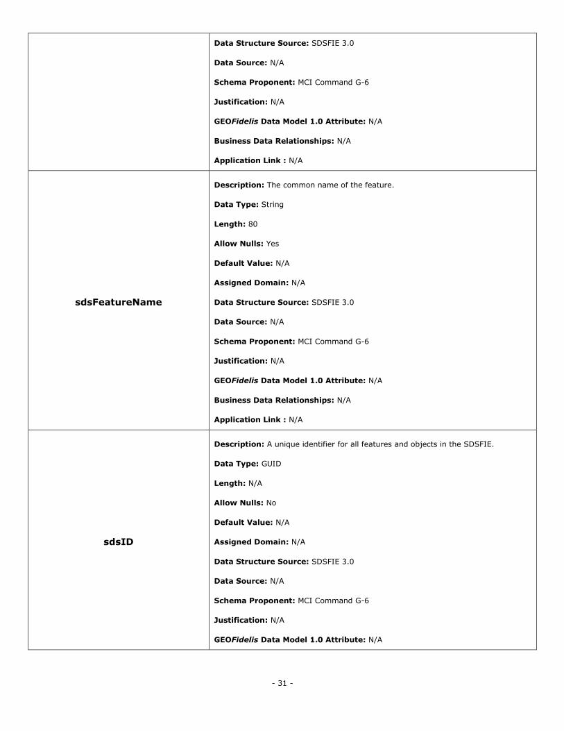
- 31 -
Data Structure Source: SDSFIE 3.0
Data Source: N/A
Schema Proponent: MCI Command G-6
Justification: N/A
GEOFidelis Data Model 1.0 Attribute: N/A
Business Data Relationships: N/A
Application Link : N/A
sdsFeatureName
Description: The common name of the feature.
Data Type: String
Length: 80
Allow Nulls: Yes
Default Value: N/A
Assigned Domain: N/A
Data Structure Source: SDSFIE 3.0
Data Source: N/A
Schema Proponent: MCI Command G-6
Justification: N/A
GEOFidelis Data Model 1.0 Attribute: N/A
Business Data Relationships: N/A
Application Link : N/A
sdsID
Description: A unique identifier for all features and objects in the SDSFIE.
Data Type: GUID
Length: N/A
Allow Nulls: No
Default Value: N/A
Assigned Domain: N/A
Data Structure Source: SDSFIE 3.0
Data Source: N/A
Schema Proponent: MCI Command G-6
Justification: N/A
GEOFidelis Data Model 1.0 Attribute: N/A
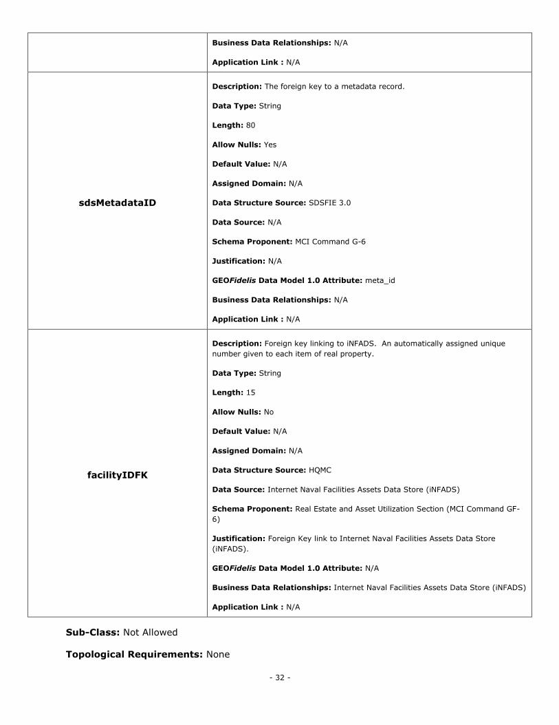
- 32 -
Business Data Relationships: N/A
Application Link : N/A
sdsMetadataID
Description: The foreign key to a metadata record.
Data Type: String
Length: 80
Allow Nulls: Yes
Default Value: N/A
Assigned Domain: N/A
Data Structure Source: SDSFIE 3.0
Data Source: N/A
Schema Proponent: MCI Command G-6
Justification: N/A
GEOFidelis Data Model 1.0 Attribute: meta_id
Business Data Relationships: N/A
Application Link : N/A
facilityIDFK
Description: Foreign key linking to iNFADS. An automatically assigned unique
number given to each item of real property.
Data Type: String
Length: 15
Allow Nulls: No
Default Value: N/A
Assigned Domain: N/A
Data Structure Source: HQMC
Data Source: Internet Naval Facilities Assets Data Store (iNFADS)
Schema Proponent: Real Estate and Asset Utilization Section (MCI Command GF-
6)
Justification: Foreign Key link to Internet Naval Facilities Assets Data Store
(iNFADS).
GEOFidelis Data Model 1.0 Attribute: N/A
Business Data Relationships: Internet Naval Facilities Assets Data Store (iNFADS)
Application Link : N/A
Sub-Class: Not Allowed
Topological Requirements: None
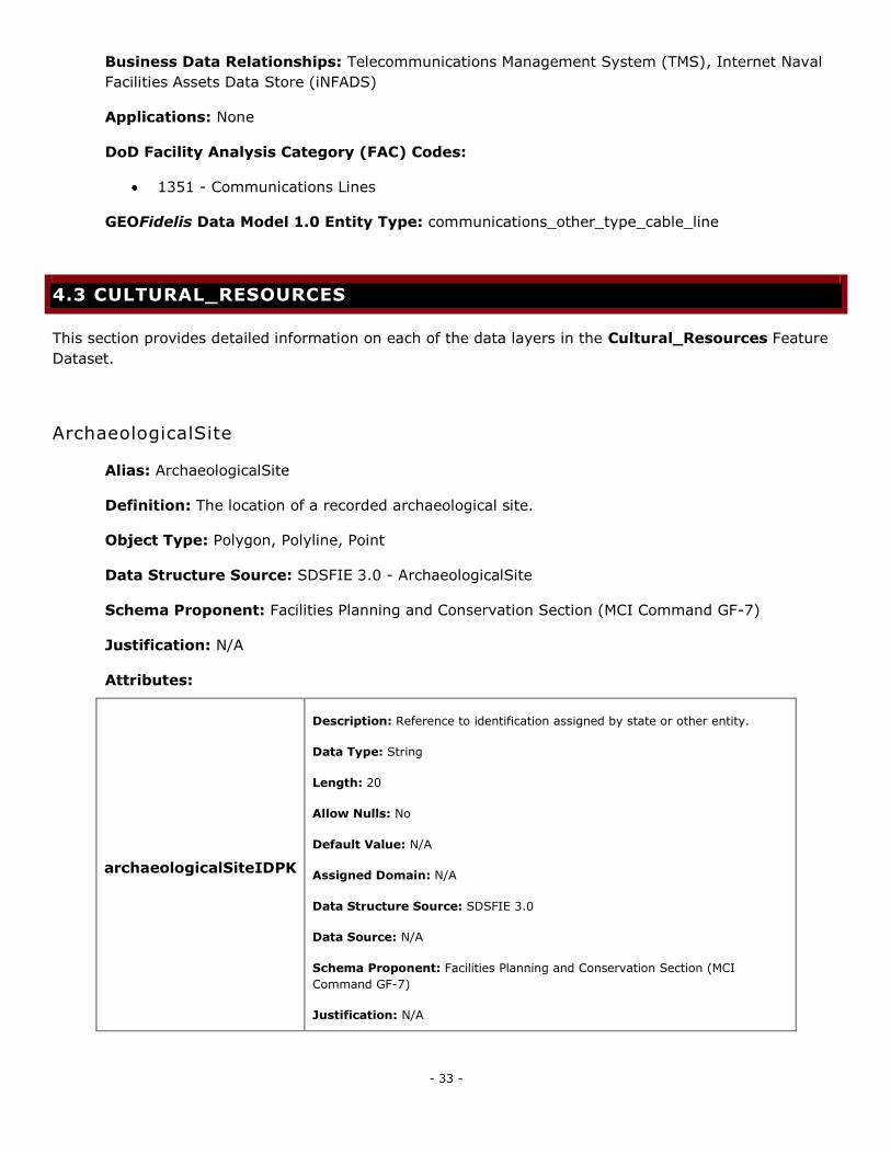
- 33 -
Business Data Relationships: Telecommunications Management System (TMS), Internet Naval
Facilities Assets Data Store (iNFADS)
Applications: None
DoD Facility Analysis Category (FAC) Codes:
1351 - Communications Lines
GEOFidelis Data Model 1.0 Entity Type: communications_other_type_cable_line
4.3 CULTURAL_RESOURCES
This section provides detailed information on each of the data layers in the Cultural_Resources Feature
Dataset.
ArchaeologicalSite
Alias: ArchaeologicalSite
Definition: The location of a recorded archaeological site.
Object Type: Polygon, Polyline, Point
Data Structure Source: SDSFIE 3.0 - ArchaeologicalSite
Schema Proponent: Facilities Planning and Conservation Section (MCI Command GF-7)
Justification: N/A
Attributes:
archaeologicalSiteIDPK
Description: Reference to identification assigned by state or other entity.
Data Type: String
Length: 20
Allow Nulls: No
Default Value: N/A
Assigned Domain: N/A
Data Structure Source: SDSFIE 3.0
Data Source: N/A
Schema Proponent: Facilities Planning and Conservation Section (MCI
Command GF-7)
Justification: N/A
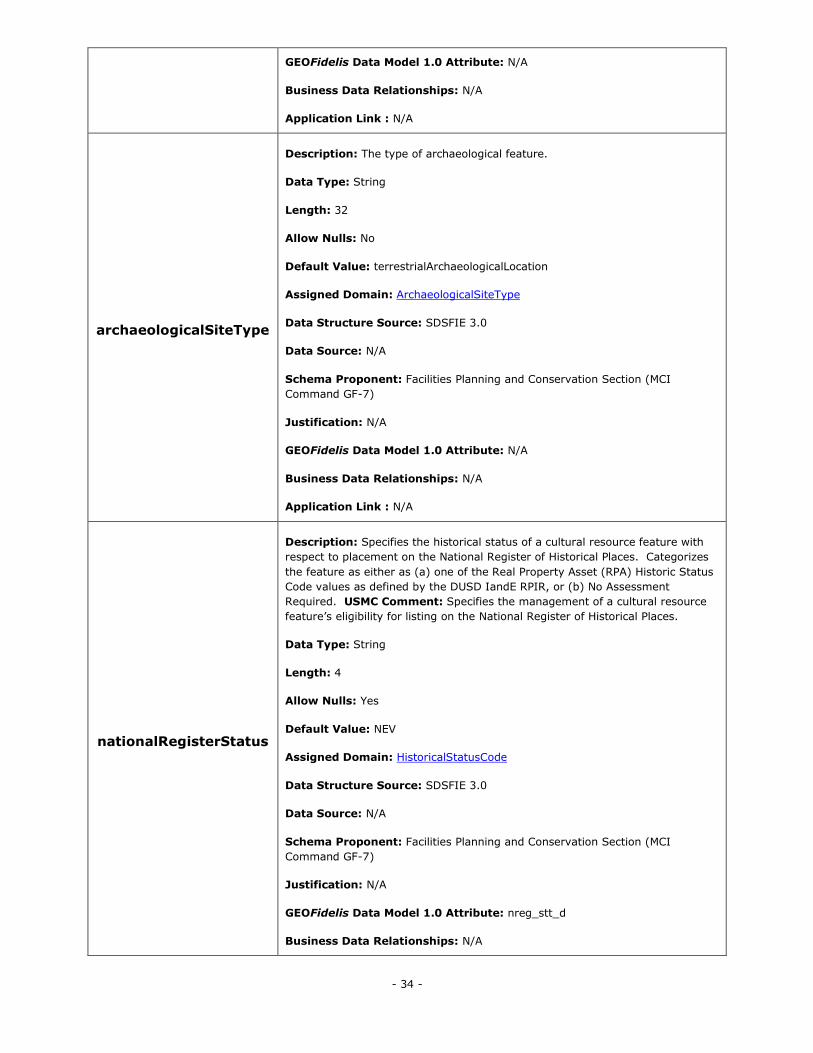
- 34 -
GEOFidelis Data Model 1.0 Attribute: N/A
Business Data Relationships: N/A
Application Link : N/A
archaeologicalSiteType
Description: The type of archaeological feature.
Data Type: String
Length: 32
Allow Nulls: No
Default Value: terrestrialArchaeologicalLocation
Assigned Domain: ArchaeologicalSiteType
Data Structure Source: SDSFIE 3.0
Data Source: N/A
Schema Proponent: Facilities Planning and Conservation Section (MCI
Command GF-7)
Justification: N/A
GEOFidelis Data Model 1.0 Attribute: N/A
Business Data Relationships: N/A
Application Link : N/A
nationalRegisterStatus
Description: Specifies the historical status of a cultural resource feature with
respect to placement on the National Register of Historical Places. Categorizes
the feature as either as (a) one of the Real Property Asset (RPA) Historic Status
Code values as defined by the DUSD IandE RPIR, or (b) No Assessment
Required. USMC Comment: Specifies the management of a cultural resource
feature‘s eligibility for listing on the National Register of Historical Places.
Data Type: String
Length: 4
Allow Nulls: Yes
Default Value: NEV
Assigned Domain: HistoricalStatusCode
Data Structure Source: SDSFIE 3.0
Data Source: N/A
Schema Proponent: Facilities Planning and Conservation Section (MCI
Command GF-7)
Justification: N/A
GEOFidelis Data Model 1.0 Attribute: nreg_stt_d
Business Data Relationships: N/A
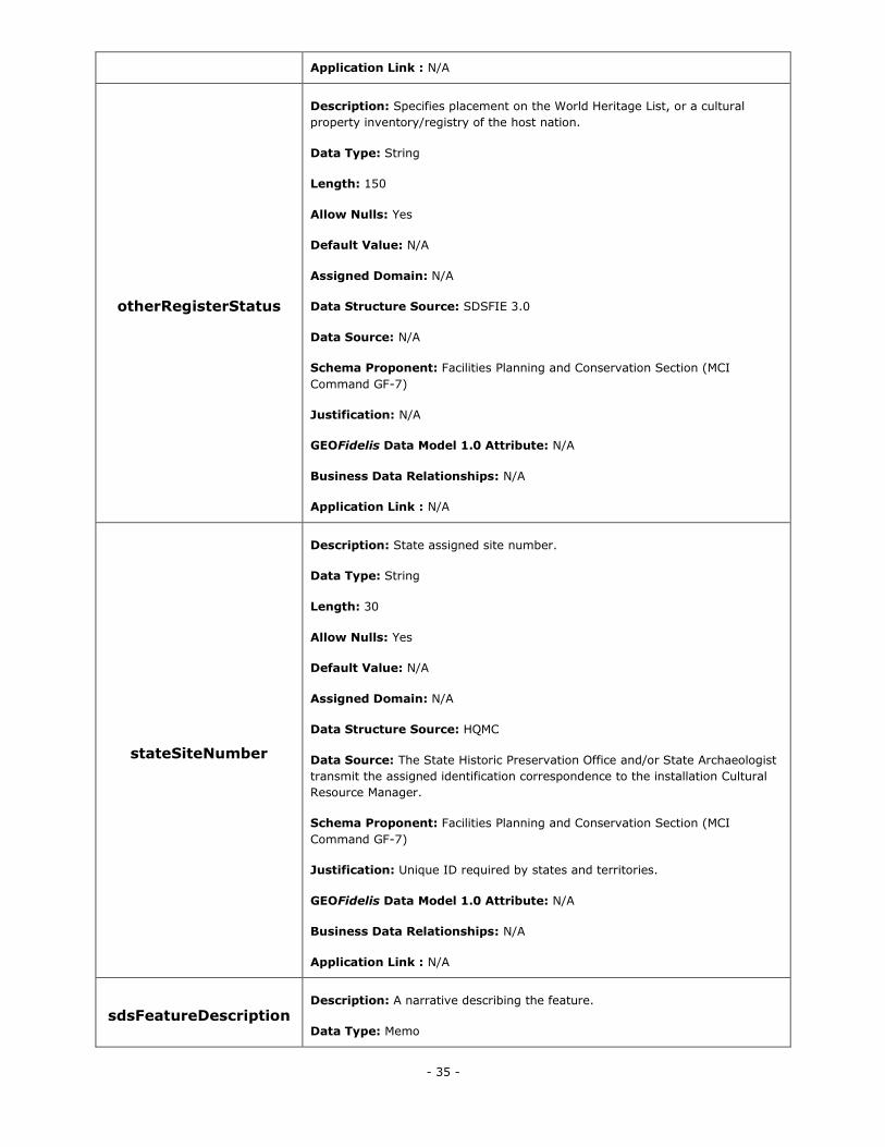
- 35 -
Application Link : N/A
otherRegisterStatus
Description: Specifies placement on the World Heritage List, or a cultural
property inventory/registry of the host nation.
Data Type: String
Length: 150
Allow Nulls: Yes
Default Value: N/A
Assigned Domain: N/A
Data Structure Source: SDSFIE 3.0
Data Source: N/A
Schema Proponent: Facilities Planning and Conservation Section (MCI
Command GF-7)
Justification: N/A
GEOFidelis Data Model 1.0 Attribute: N/A
Business Data Relationships: N/A
Application Link : N/A
stateSiteNumber
Description: State assigned site number.
Data Type: String
Length: 30
Allow Nulls: Yes
Default Value: N/A
Assigned Domain: N/A
Data Structure Source: HQMC
Data Source: The State Historic Preservation Office and/or State Archaeologist
transmit the assigned identification correspondence to the installation Cultural
Resource Manager.
Schema Proponent: Facilities Planning and Conservation Section (MCI
Command GF-7)
Justification: Unique ID required by states and territories.
GEOFidelis Data Model 1.0 Attribute: N/A
Business Data Relationships: N/A
Application Link : N/A
sdsFeatureDescription Description: A narrative describing the feature.
Data Type: Memo
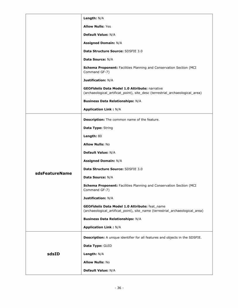
- 36 -
Length: N/A
Allow Nulls: Yes
Default Value: N/A
Assigned Domain: N/A
Data Structure Source: SDSFIE 3.0
Data Source: N/A
Schema Proponent: Facilities Planning and Conservation Section (MCI
Command GF-7)
Justification: N/A
GEOFidelis Data Model 1.0 Attribute: narrative
(archaeological_artificat_point), site_desc (terrestrial_archaeological_area)
Business Data Relationships: N/A
Application Link : N/A
sdsFeatureName
Description: The common name of the feature.
Data Type: String
Length: 80
Allow Nulls: No
Default Value: N/A
Assigned Domain: N/A
Data Structure Source: SDSFIE 3.0
Data Source: N/A
Schema Proponent: Facilities Planning and Conservation Section (MCI
Command GF-7)
Justification: N/A
GEOFidelis Data Model 1.0 Attribute: feat_name
(archaeological_artificat_point), site_name (terrestrial_archaeological_area)
Business Data Relationships: N/A
Application Link : N/A
sdsID
Description: A unique identifier for all features and objects in the SDSFIE.
Data Type: GUID
Length: N/A
Allow Nulls: No
Default Value: N/A
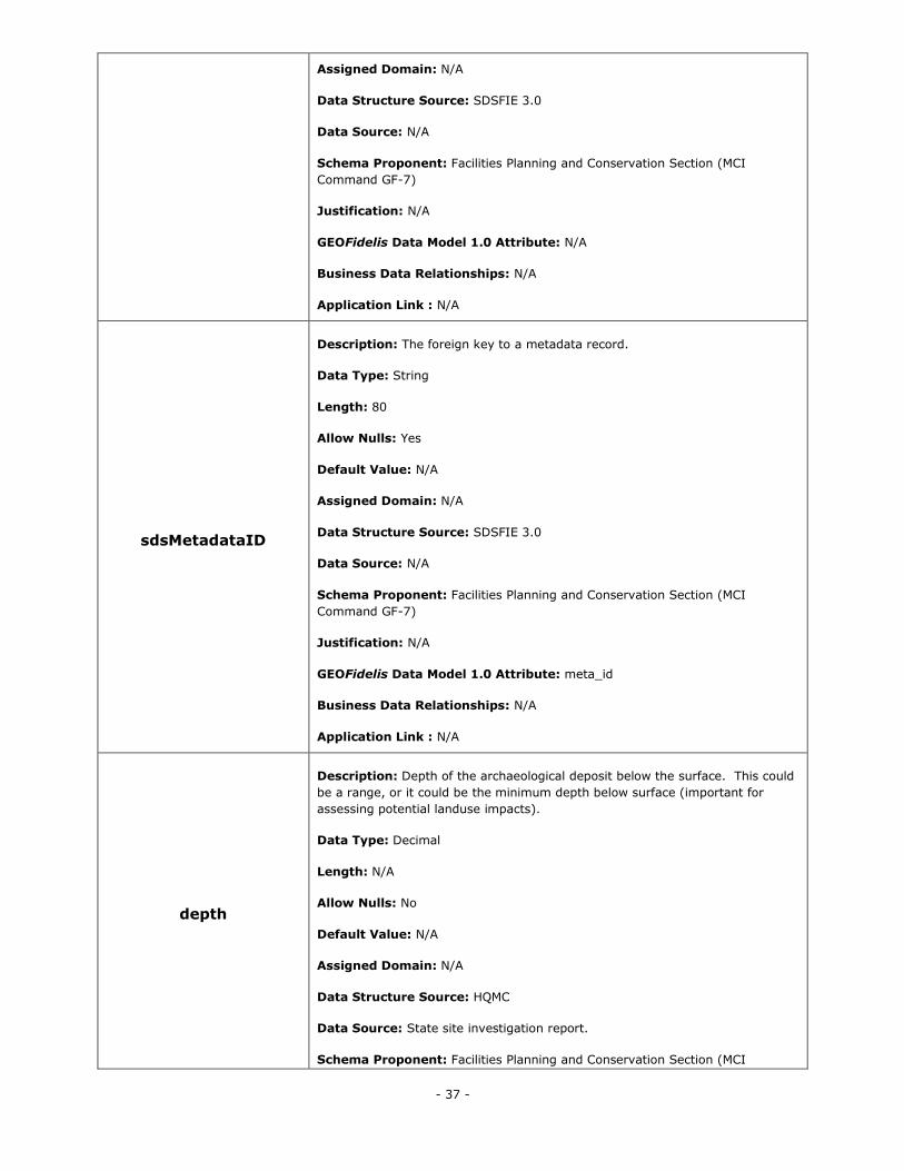
- 37 -
Assigned Domain: N/A
Data Structure Source: SDSFIE 3.0
Data Source: N/A
Schema Proponent: Facilities Planning and Conservation Section (MCI
Command GF-7)
Justification: N/A
GEOFidelis Data Model 1.0 Attribute: N/A
Business Data Relationships: N/A
Application Link : N/A
sdsMetadataID
Description: The foreign key to a metadata record.
Data Type: String
Length: 80
Allow Nulls: Yes
Default Value: N/A
Assigned Domain: N/A
Data Structure Source: SDSFIE 3.0
Data Source: N/A
Schema Proponent: Facilities Planning and Conservation Section (MCI
Command GF-7)
Justification: N/A
GEOFidelis Data Model 1.0 Attribute: meta_id
Business Data Relationships: N/A
Application Link : N/A
depth
Description: Depth of the archaeological deposit below the surface. This could
be a range, or it could be the minimum depth below surface (important for
assessing potential landuse impacts).
Data Type: Decimal
Length: N/A
Allow Nulls: No
Default Value: N/A
Assigned Domain: N/A
Data Structure Source: HQMC
Data Source: State site investigation report.
Schema Proponent: Facilities Planning and Conservation Section (MCI
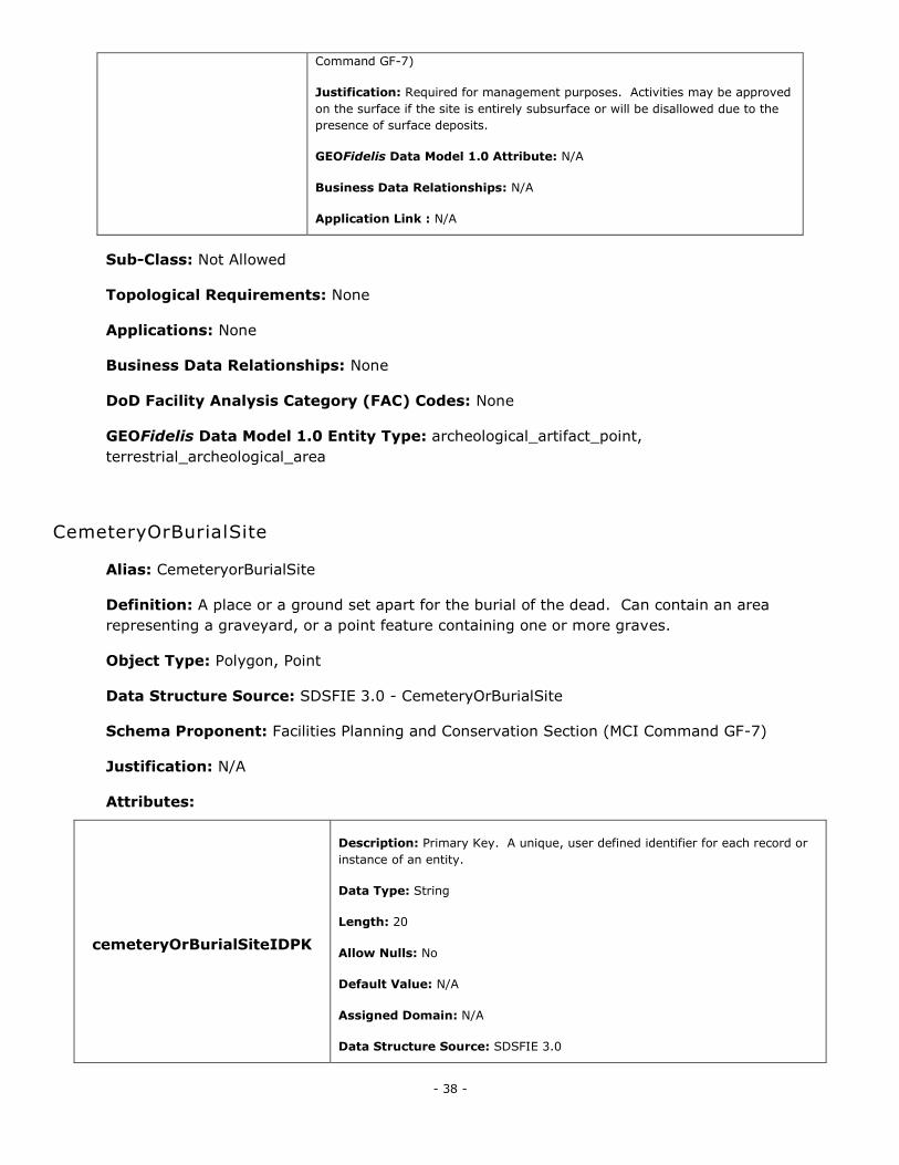
- 38 -
Command GF-7)
Justification: Required for management purposes. Activities may be approved
on the surface if the site is entirely subsurface or will be disallowed due to the
presence of surface deposits.
GEOFidelis Data Model 1.0 Attribute: N/A
Business Data Relationships: N/A
Application Link : N/A
Sub-Class: Not Allowed
Topological Requirements: None
Applications: None
Business Data Relationships: None
DoD Facility Analysis Category (FAC) Codes: None
GEOFidelis Data Model 1.0 Entity Type: archeological_artifact_point,
terrestrial_archeological_area
CemeteryOrBurialSite
Alias: CemeteryorBurialSite
Definition: A place or a ground set apart for the burial of the dead. Can contain an area
representing a graveyard, or a point feature containing one or more graves.
Object Type: Polygon, Point
Data Structure Source: SDSFIE 3.0 - CemeteryOrBurialSite
Schema Proponent: Facilities Planning and Conservation Section (MCI Command GF-7)
Justification: N/A
Attributes:
cemeteryOrBurialSiteIDPK
Description: Primary Key. A unique, user defined identifier for each record or
instance of an entity.
Data Type: String
Length: 20
Allow Nulls: No
Default Value: N/A
Assigned Domain: N/A
Data Structure Source: SDSFIE 3.0
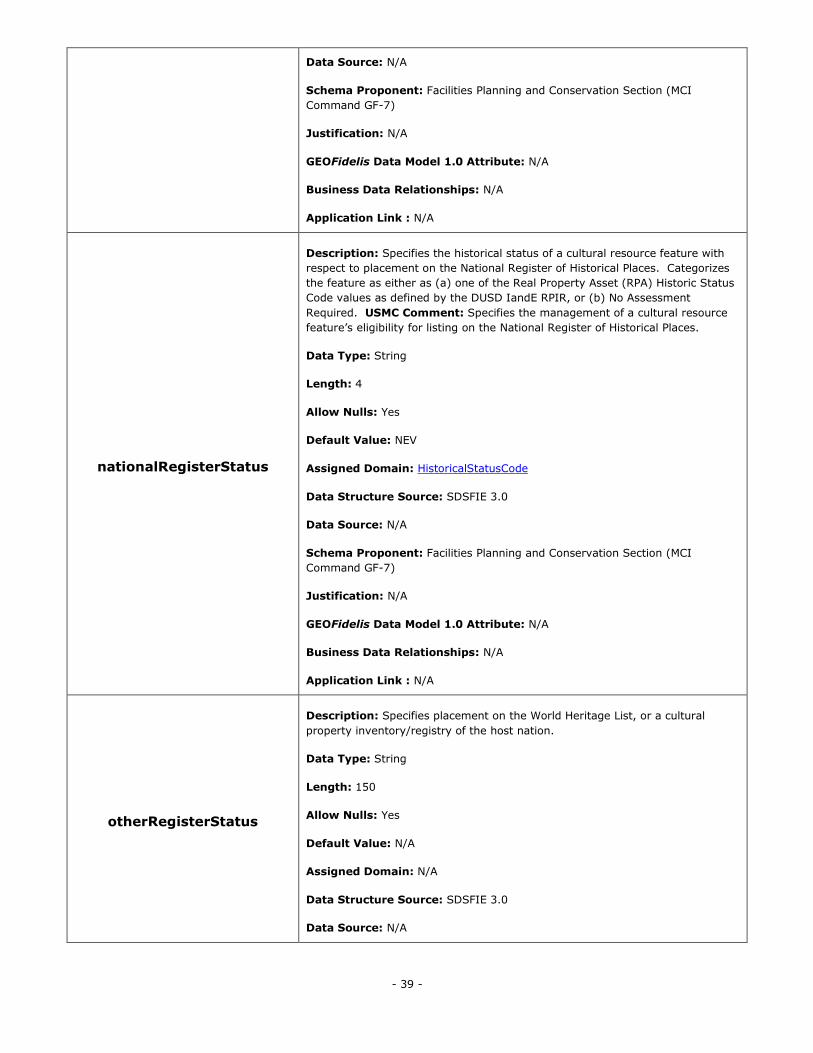
- 39 -
Data Source: N/A
Schema Proponent: Facilities Planning and Conservation Section (MCI
Command GF-7)
Justification: N/A
GEOFidelis Data Model 1.0 Attribute: N/A
Business Data Relationships: N/A
Application Link : N/A
nationalRegisterStatus
Description: Specifies the historical status of a cultural resource feature with
respect to placement on the National Register of Historical Places. Categorizes
the feature as either as (a) one of the Real Property Asset (RPA) Historic Status
Code values as defined by the DUSD IandE RPIR, or (b) No Assessment
Required. USMC Comment: Specifies the management of a cultural resource
feature‘s eligibility for listing on the National Register of Historical Places.
Data Type: String
Length: 4
Allow Nulls: Yes
Default Value: NEV
Assigned Domain: HistoricalStatusCode
Data Structure Source: SDSFIE 3.0
Data Source: N/A
Schema Proponent: Facilities Planning and Conservation Section (MCI
Command GF-7)
Justification: N/A
GEOFidelis Data Model 1.0 Attribute: N/A
Business Data Relationships: N/A
Application Link : N/A
otherRegisterStatus
Description: Specifies placement on the World Heritage List, or a cultural
property inventory/registry of the host nation.
Data Type: String
Length: 150
Allow Nulls: Yes
Default Value: N/A
Assigned Domain: N/A
Data Structure Source: SDSFIE 3.0
Data Source: N/A
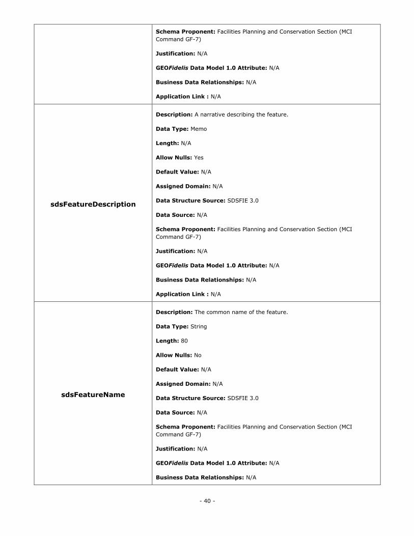
- 40 -
Schema Proponent: Facilities Planning and Conservation Section (MCI
Command GF-7)
Justification: N/A
GEOFidelis Data Model 1.0 Attribute: N/A
Business Data Relationships: N/A
Application Link : N/A
sdsFeatureDescription
Description: A narrative describing the feature.
Data Type: Memo
Length: N/A
Allow Nulls: Yes
Default Value: N/A
Assigned Domain: N/A
Data Structure Source: SDSFIE 3.0
Data Source: N/A
Schema Proponent: Facilities Planning and Conservation Section (MCI
Command GF-7)
Justification: N/A
GEOFidelis Data Model 1.0 Attribute: N/A
Business Data Relationships: N/A
Application Link : N/A
sdsFeatureName
Description: The common name of the feature.
Data Type: String
Length: 80
Allow Nulls: No
Default Value: N/A
Assigned Domain: N/A
Data Structure Source: SDSFIE 3.0
Data Source: N/A
Schema Proponent: Facilities Planning and Conservation Section (MCI
Command GF-7)
Justification: N/A
GEOFidelis Data Model 1.0 Attribute: N/A
Business Data Relationships: N/A
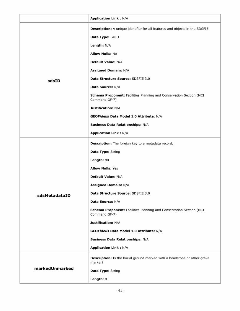
- 41 -
Application Link : N/A
sdsID
Description: A unique identifier for all features and objects in the SDSFIE.
Data Type: GUID
Length: N/A
Allow Nulls: No
Default Value: N/A
Assigned Domain: N/A
Data Structure Source: SDSFIE 3.0
Data Source: N/A
Schema Proponent: Facilities Planning and Conservation Section (MCI
Command GF-7)
Justification: N/A
GEOFidelis Data Model 1.0 Attribute: N/A
Business Data Relationships: N/A
Application Link : N/A
sdsMetadataID
Description: The foreign key to a metadata record.
Data Type: String
Length: 80
Allow Nulls: Yes
Default Value: N/A
Assigned Domain: N/A
Data Structure Source: SDSFIE 3.0
Data Source: N/A
Schema Proponent: Facilities Planning and Conservation Section (MCI
Command GF-7)
Justification: N/A
GEOFidelis Data Model 1.0 Attribute: N/A
Business Data Relationships: N/A
Application Link : N/A
markedUnmarked
Description: Is the burial ground marked with a headstone or other grave
marker?
Data Type: String
Length: 8
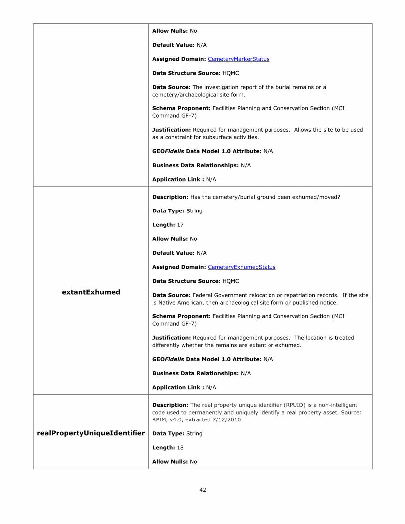
- 42 -
Allow Nulls: No
Default Value: N/A
Assigned Domain: CemeteryMarkerStatus
Data Structure Source: HQMC
Data Source: The investigation report of the burial remains or a
cemetery/archaeological site form.
Schema Proponent: Facilities Planning and Conservation Section (MCI
Command GF-7)
Justification: Required for management purposes. Allows the site to be used
as a constraint for subsurface activities.
GEOFidelis Data Model 1.0 Attribute: N/A
Business Data Relationships: N/A
Application Link : N/A
extantExhumed
Description: Has the cemetery/burial ground been exhumed/moved?
Data Type: String
Length: 17
Allow Nulls: No
Default Value: N/A
Assigned Domain: CemeteryExhumedStatus
Data Structure Source: HQMC
Data Source: Federal Government relocation or repatriation records. If the site
is Native American, then archaeological site form or published notice.
Schema Proponent: Facilities Planning and Conservation Section (MCI
Command GF-7)
Justification: Required for management purposes. The location is treated
differently whether the remains are extant or exhumed.
GEOFidelis Data Model 1.0 Attribute: N/A
Business Data Relationships: N/A
Application Link : N/A
realPropertyUniqueIdentifier
Description: The real property unique identifier (RPUID) is a non-intelligent
code used to permanently and uniquely identify a real property asset. Source:
RPIM, v4.0, extracted 7/12/2010.
Data Type: String
Length: 18
Allow Nulls: No
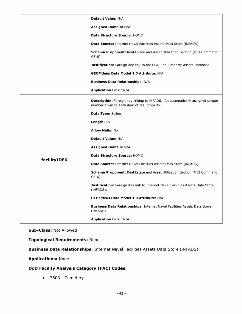
- 43 -
Default Value: N/A
Assigned Domain: N/A
Data Structure Source: HQMC
Data Source: Internet Naval Facilities Assets Data Store (iNFADS)
Schema Proponent: Real Estate and Asset Utilization Section (MCI Command
GF-6)
Justification: Foreign key link to the OSD Real Property Assets Database.
GEOFidelis Data Model 1.0 Attribute: N/A
Business Data Relationships: N/A
Application Link : N/A
facilityIDFK
Description: Foreign key linking to iNFADS. An automatically assigned unique
number given to each item of real property.
Data Type: String
Length: 15
Allow Nulls: No
Default Value: N/A
Assigned Domain: N/A
Data Structure Source: HQMC
Data Source: Internet Naval Facilities Assets Data Store (iNFADS)
Schema Proponent: Real Estate and Asset Utilization Section (MCI Command
GF-6)
Justification: Foreign Key link to Internet Naval Facilities Assets Data Store
(iNFADS).
GEOFidelis Data Model 1.0 Attribute: N/A
Business Data Relationships: Internet Naval Facilities Assets Data Store
(iNFADS)
Application Link : N/A
Sub-Class: Not Allowed
Topological Requirements: None
Business Data Relationships: Internet Naval Facilities Assets Data Store (iNFADS)
Applications: None
DoD Facility Analysis Category (FAC) Codes:
7603 - Cemetery
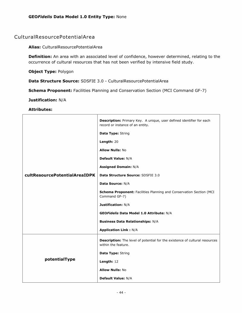
- 44 -
GEOFidelis Data Model 1.0 Entity Type: None
CulturalResourcePotentialArea
Alias: CulturalResourcePotentialArea
Definition: An area with an associated level of confidence, however determined, relating to the
occurrence of cultural resources that has not been verified by intensive field study.
Object Type: Polygon
Data Structure Source: SDSFIE 3.0 - CulturalResourcePotentialArea
Schema Proponent: Facilities Planning and Conservation Section (MCI Command GF-7)
Justification: N/A
Attributes:
cultResourcePotentialAreaIDPK
Description: Primary Key. A unique, user defined identifier for each
record or instance of an entity.
Data Type: String
Length: 20
Allow Nulls: No
Default Value: N/A
Assigned Domain: N/A
Data Structure Source: SDSFIE 3.0
Data Source: N/A
Schema Proponent: Facilities Planning and Conservation Section (MCI
Command GF-7)
Justification: N/A
GEOFidelis Data Model 1.0 Attribute: N/A
Business Data Relationships: N/A
Application Link : N/A
potentialType
Description: The level of potential for the existence of cultural resources
within the feature.
Data Type: String
Length: 12
Allow Nulls: No
Default Value: N/A
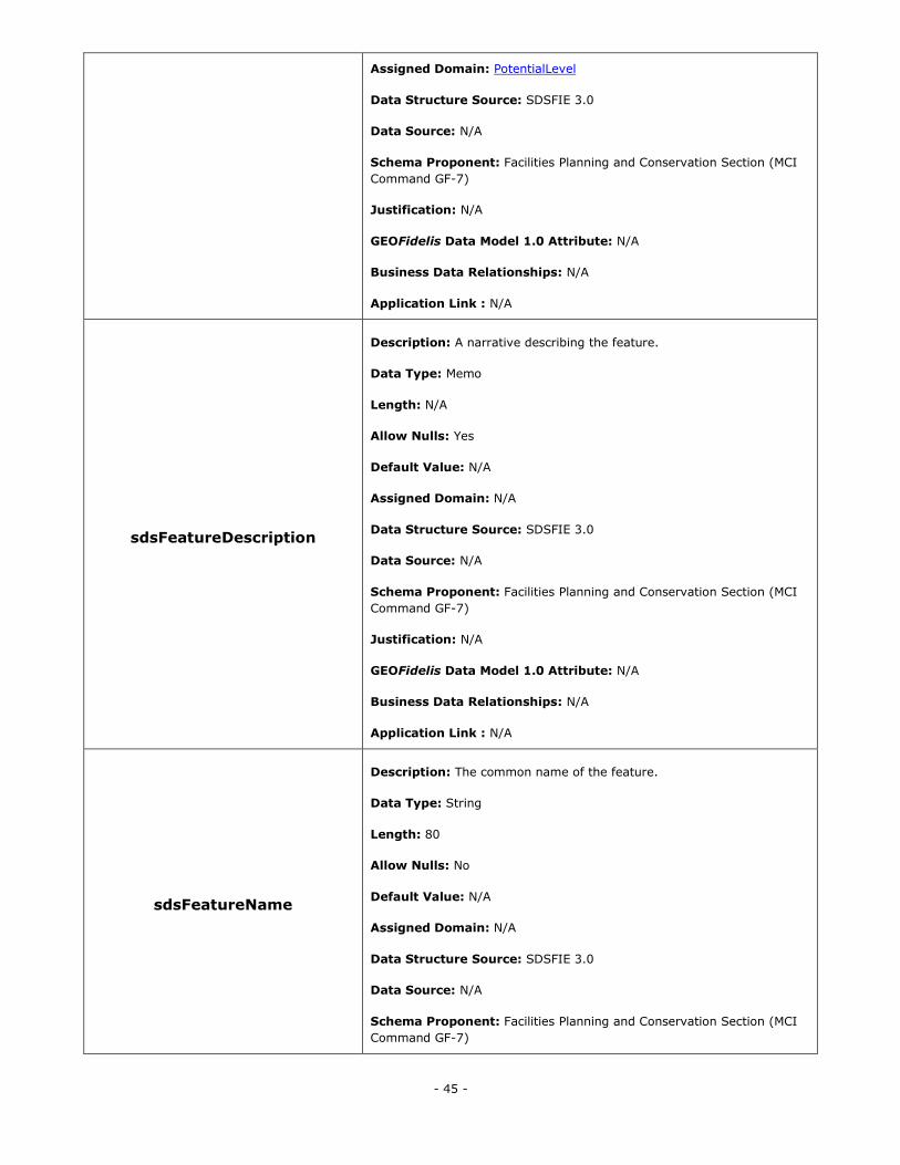
- 45 -
Assigned Domain: PotentialLevel
Data Structure Source: SDSFIE 3.0
Data Source: N/A
Schema Proponent: Facilities Planning and Conservation Section (MCI
Command GF-7)
Justification: N/A
GEOFidelis Data Model 1.0 Attribute: N/A
Business Data Relationships: N/A
Application Link : N/A
sdsFeatureDescription
Description: A narrative describing the feature.
Data Type: Memo
Length: N/A
Allow Nulls: Yes
Default Value: N/A
Assigned Domain: N/A
Data Structure Source: SDSFIE 3.0
Data Source: N/A
Schema Proponent: Facilities Planning and Conservation Section (MCI
Command GF-7)
Justification: N/A
GEOFidelis Data Model 1.0 Attribute: N/A
Business Data Relationships: N/A
Application Link : N/A
sdsFeatureName
Description: The common name of the feature.
Data Type: String
Length: 80
Allow Nulls: No
Default Value: N/A
Assigned Domain: N/A
Data Structure Source: SDSFIE 3.0
Data Source: N/A
Schema Proponent: Facilities Planning and Conservation Section (MCI
Command GF-7)
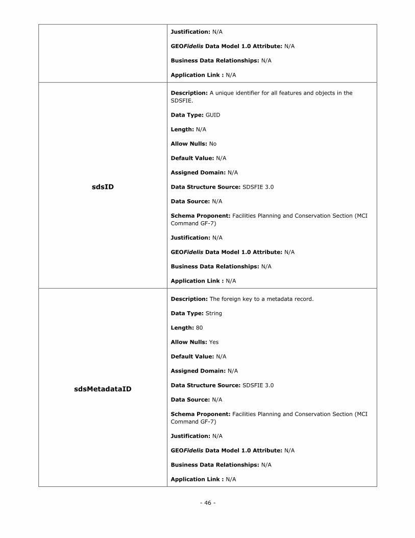
- 46 -
Justification: N/A
GEOFidelis Data Model 1.0 Attribute: N/A
Business Data Relationships: N/A
Application Link : N/A
sdsID
Description: A unique identifier for all features and objects in the
SDSFIE.
Data Type: GUID
Length: N/A
Allow Nulls: No
Default Value: N/A
Assigned Domain: N/A
Data Structure Source: SDSFIE 3.0
Data Source: N/A
Schema Proponent: Facilities Planning and Conservation Section (MCI
Command GF-7)
Justification: N/A
GEOFidelis Data Model 1.0 Attribute: N/A
Business Data Relationships: N/A
Application Link : N/A
sdsMetadataID
Description: The foreign key to a metadata record.
Data Type: String
Length: 80
Allow Nulls: Yes
Default Value: N/A
Assigned Domain: N/A
Data Structure Source: SDSFIE 3.0
Data Source: N/A
Schema Proponent: Facilities Planning and Conservation Section (MCI
Command GF-7)
Justification: N/A
GEOFidelis Data Model 1.0 Attribute: N/A
Business Data Relationships: N/A
Application Link : N/A
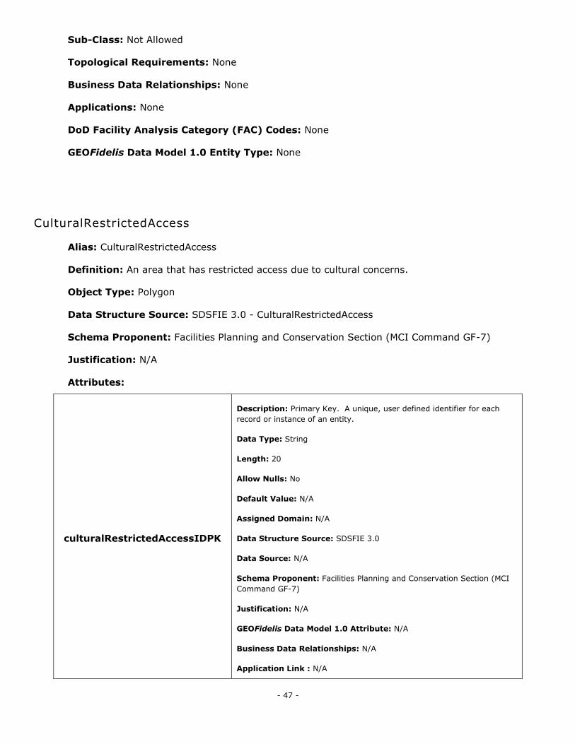
- 47 -
Sub-Class: Not Allowed
Topological Requirements: None
Business Data Relationships: None
Applications: None
DoD Facility Analysis Category (FAC) Codes: None
GEOFidelis Data Model 1.0 Entity Type: None
CulturalRestrictedAccess
Alias: CulturalRestrictedAccess
Definition: An area that has restricted access due to cultural concerns.
Object Type: Polygon
Data Structure Source: SDSFIE 3.0 - CulturalRestrictedAccess
Schema Proponent: Facilities Planning and Conservation Section (MCI Command GF-7)
Justification: N/A
Attributes:
culturalRestrictedAccessIDPK
Description: Primary Key. A unique, user defined identifier for each
record or instance of an entity.
Data Type: String
Length: 20
Allow Nulls: No
Default Value: N/A
Assigned Domain: N/A
Data Structure Source: SDSFIE 3.0
Data Source: N/A
Schema Proponent: Facilities Planning and Conservation Section (MCI
Command GF-7)
Justification: N/A
GEOFidelis Data Model 1.0 Attribute: N/A
Business Data Relationships: N/A
Application Link : N/A
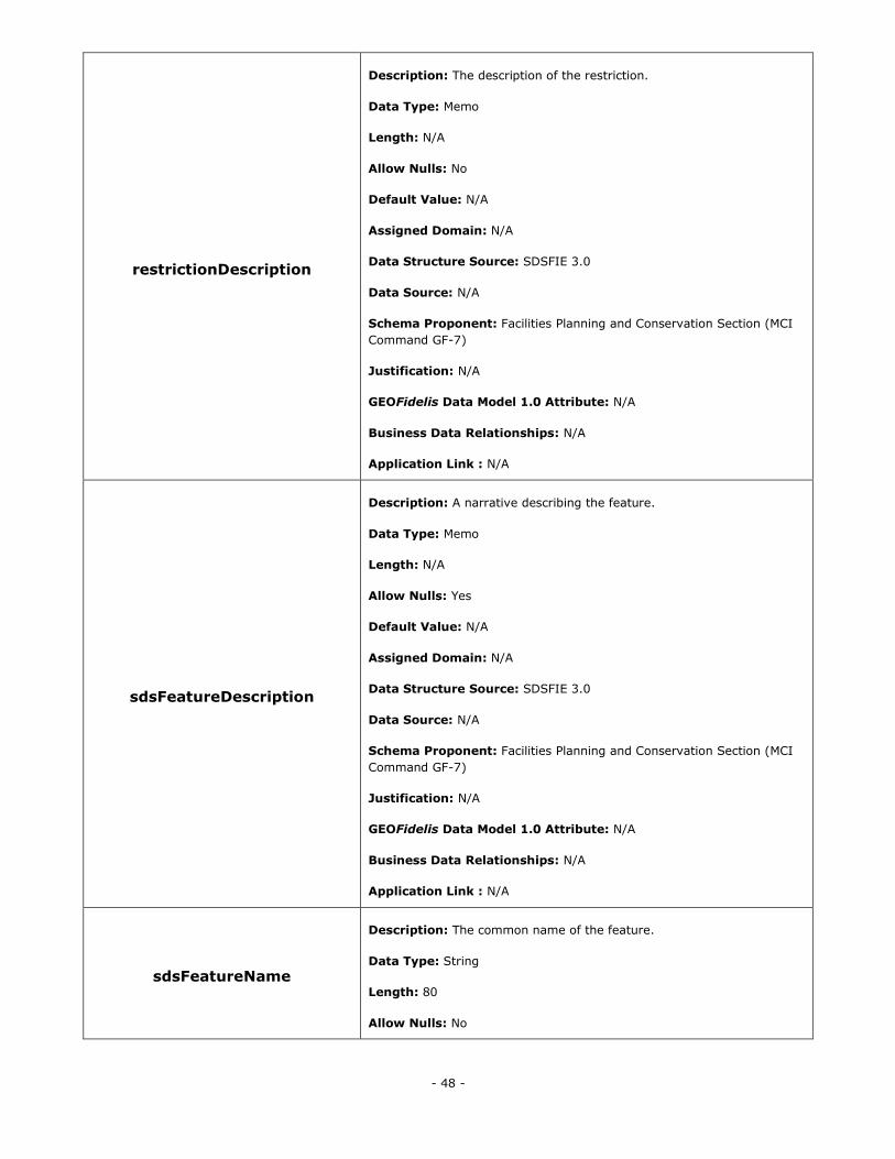
- 48 -
restrictionDescription
Description: The description of the restriction.
Data Type: Memo
Length: N/A
Allow Nulls: No
Default Value: N/A
Assigned Domain: N/A
Data Structure Source: SDSFIE 3.0
Data Source: N/A
Schema Proponent: Facilities Planning and Conservation Section (MCI
Command GF-7)
Justification: N/A
GEOFidelis Data Model 1.0 Attribute: N/A
Business Data Relationships: N/A
Application Link : N/A
sdsFeatureDescription
Description: A narrative describing the feature.
Data Type: Memo
Length: N/A
Allow Nulls: Yes
Default Value: N/A
Assigned Domain: N/A
Data Structure Source: SDSFIE 3.0
Data Source: N/A
Schema Proponent: Facilities Planning and Conservation Section (MCI
Command GF-7)
Justification: N/A
GEOFidelis Data Model 1.0 Attribute: N/A
Business Data Relationships: N/A
Application Link : N/A
sdsFeatureName
Description: The common name of the feature.
Data Type: String
Length: 80
Allow Nulls: No
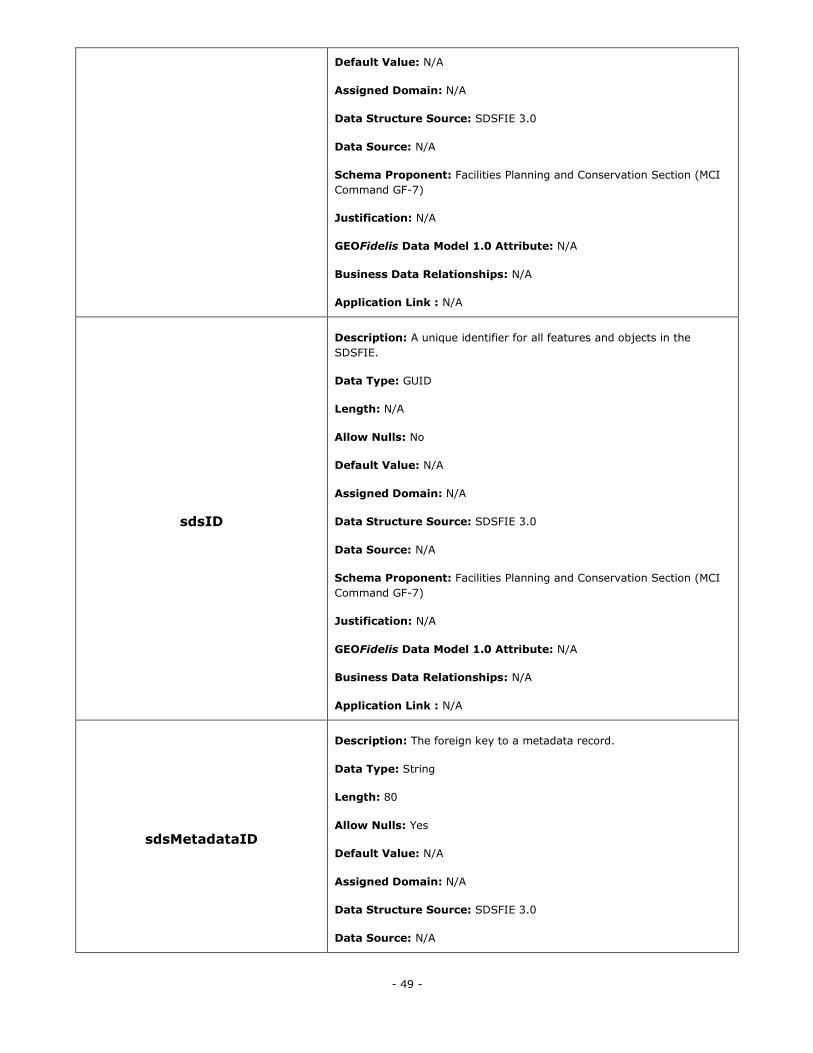
- 49 -
Default Value: N/A
Assigned Domain: N/A
Data Structure Source: SDSFIE 3.0
Data Source: N/A
Schema Proponent: Facilities Planning and Conservation Section (MCI
Command GF-7)
Justification: N/A
GEOFidelis Data Model 1.0 Attribute: N/A
Business Data Relationships: N/A
Application Link : N/A
sdsID
Description: A unique identifier for all features and objects in the
SDSFIE.
Data Type: GUID
Length: N/A
Allow Nulls: No
Default Value: N/A
Assigned Domain: N/A
Data Structure Source: SDSFIE 3.0
Data Source: N/A
Schema Proponent: Facilities Planning and Conservation Section (MCI
Command GF-7)
Justification: N/A
GEOFidelis Data Model 1.0 Attribute: N/A
Business Data Relationships: N/A
Application Link : N/A
sdsMetadataID
Description: The foreign key to a metadata record.
Data Type: String
Length: 80
Allow Nulls: Yes
Default Value: N/A
Assigned Domain: N/A
Data Structure Source: SDSFIE 3.0
Data Source: N/A
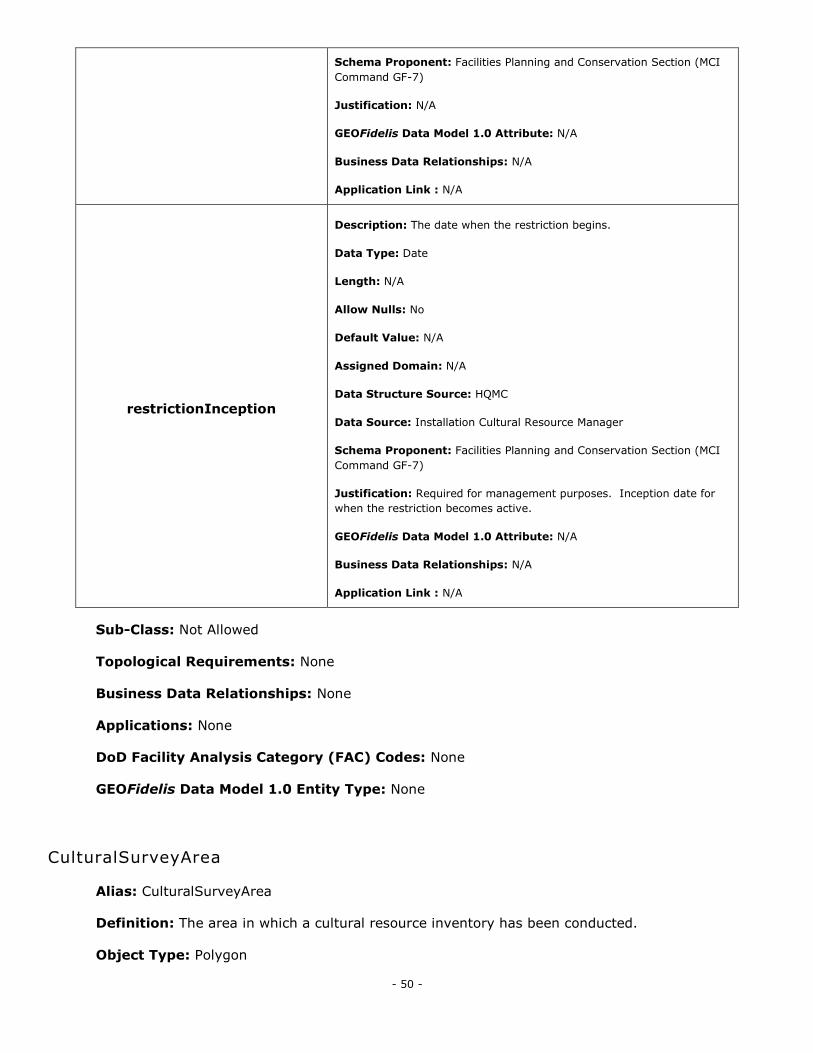
- 50 -
Schema Proponent: Facilities Planning and Conservation Section (MCI
Command GF-7)
Justification: N/A
GEOFidelis Data Model 1.0 Attribute: N/A
Business Data Relationships: N/A
Application Link : N/A
restrictionInception
Description: The date when the restriction begins.
Data Type: Date
Length: N/A
Allow Nulls: No
Default Value: N/A
Assigned Domain: N/A
Data Structure Source: HQMC
Data Source: Installation Cultural Resource Manager
Schema Proponent: Facilities Planning and Conservation Section (MCI
Command GF-7)
Justification: Required for management purposes. Inception date for
when the restriction becomes active.
GEOFidelis Data Model 1.0 Attribute: N/A
Business Data Relationships: N/A
Application Link : N/A
Sub-Class: Not Allowed
Topological Requirements: None
Business Data Relationships: None
Applications: None
DoD Facility Analysis Category (FAC) Codes: None
GEOFidelis Data Model 1.0 Entity Type: None
CulturalSurveyArea
Alias: CulturalSurveyArea
Definition: The area in which a cultural resource inventory has been conducted.
Object Type: Polygon
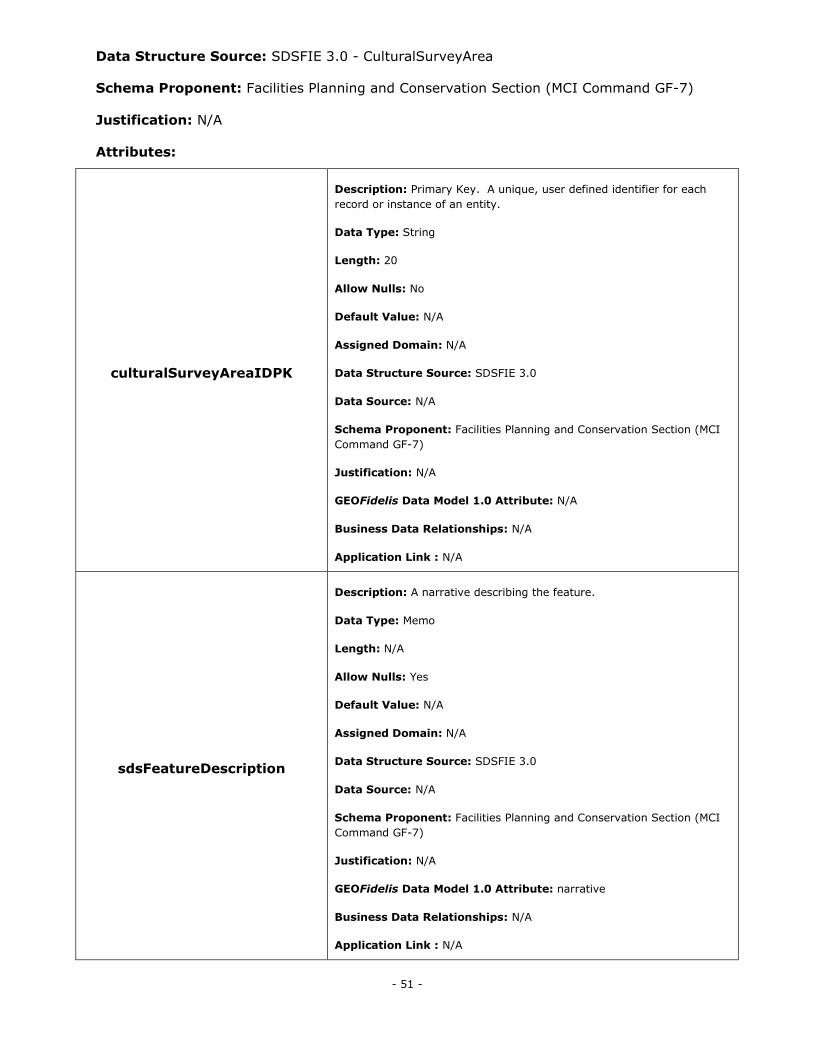
- 51 -
Data Structure Source: SDSFIE 3.0 - CulturalSurveyArea
Schema Proponent: Facilities Planning and Conservation Section (MCI Command GF-7)
Justification: N/A
Attributes:
culturalSurveyAreaIDPK
Description: Primary Key. A unique, user defined identifier for each
record or instance of an entity.
Data Type: String
Length: 20
Allow Nulls: No
Default Value: N/A
Assigned Domain: N/A
Data Structure Source: SDSFIE 3.0
Data Source: N/A
Schema Proponent: Facilities Planning and Conservation Section (MCI
Command GF-7)
Justification: N/A
GEOFidelis Data Model 1.0 Attribute: N/A
Business Data Relationships: N/A
Application Link : N/A
sdsFeatureDescription
Description: A narrative describing the feature.
Data Type: Memo
Length: N/A
Allow Nulls: Yes
Default Value: N/A
Assigned Domain: N/A
Data Structure Source: SDSFIE 3.0
Data Source: N/A
Schema Proponent: Facilities Planning and Conservation Section (MCI
Command GF-7)
Justification: N/A
GEOFidelis Data Model 1.0 Attribute: narrative
Business Data Relationships: N/A
Application Link : N/A
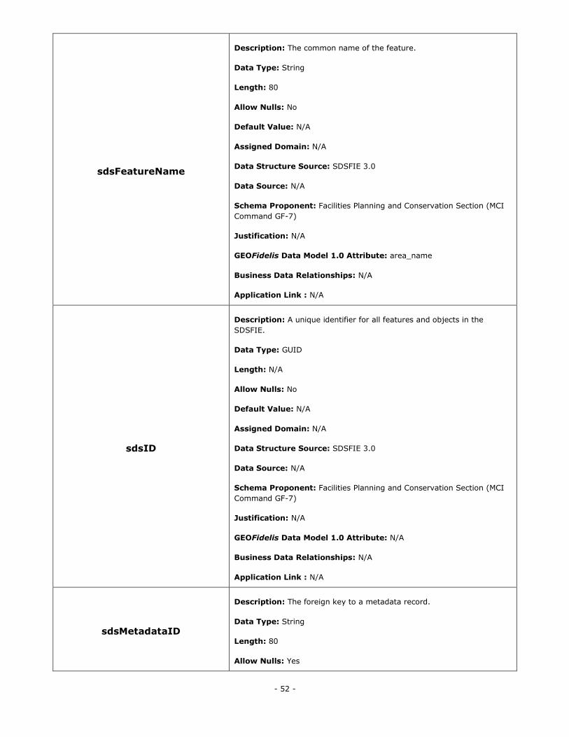
- 52 -
sdsFeatureName
Description: The common name of the feature.
Data Type: String
Length: 80
Allow Nulls: No
Default Value: N/A
Assigned Domain: N/A
Data Structure Source: SDSFIE 3.0
Data Source: N/A
Schema Proponent: Facilities Planning and Conservation Section (MCI
Command GF-7)
Justification: N/A
GEOFidelis Data Model 1.0 Attribute: area_name
Business Data Relationships: N/A
Application Link : N/A
sdsID
Description: A unique identifier for all features and objects in the
SDSFIE.
Data Type: GUID
Length: N/A
Allow Nulls: No
Default Value: N/A
Assigned Domain: N/A
Data Structure Source: SDSFIE 3.0
Data Source: N/A
Schema Proponent: Facilities Planning and Conservation Section (MCI
Command GF-7)
Justification: N/A
GEOFidelis Data Model 1.0 Attribute: N/A
Business Data Relationships: N/A
Application Link : N/A
sdsMetadataID
Description: The foreign key to a metadata record.
Data Type: String
Length: 80
Allow Nulls: Yes
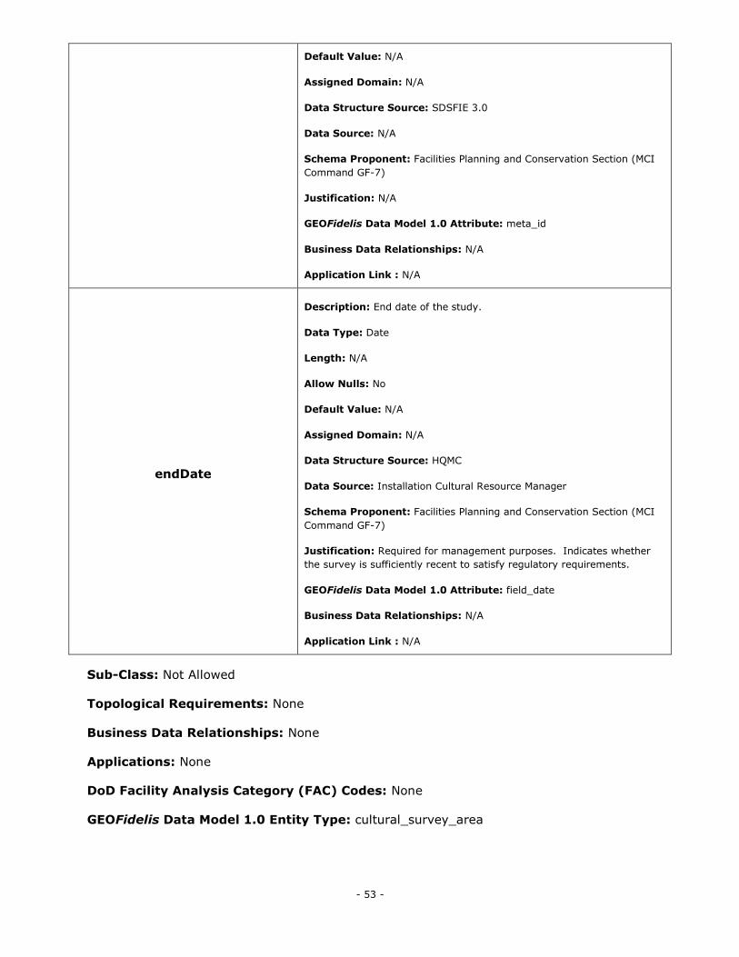
- 53 -
Default Value: N/A
Assigned Domain: N/A
Data Structure Source: SDSFIE 3.0
Data Source: N/A
Schema Proponent: Facilities Planning and Conservation Section (MCI
Command GF-7)
Justification: N/A
GEOFidelis Data Model 1.0 Attribute: meta_id
Business Data Relationships: N/A
Application Link : N/A
endDate
Description: End date of the study.
Data Type: Date
Length: N/A
Allow Nulls: No
Default Value: N/A
Assigned Domain: N/A
Data Structure Source: HQMC
Data Source: Installation Cultural Resource Manager
Schema Proponent: Facilities Planning and Conservation Section (MCI
Command GF-7)
Justification: Required for management purposes. Indicates whether
the survey is sufficiently recent to satisfy regulatory requirements.
GEOFidelis Data Model 1.0 Attribute: field_date
Business Data Relationships: N/A
Application Link : N/A
Sub-Class: Not Allowed
Topological Requirements: None
Business Data Relationships: None
Applications: None
DoD Facility Analysis Category (FAC) Codes: None
GEOFidelis Data Model 1.0 Entity Type: cultural_survey_area
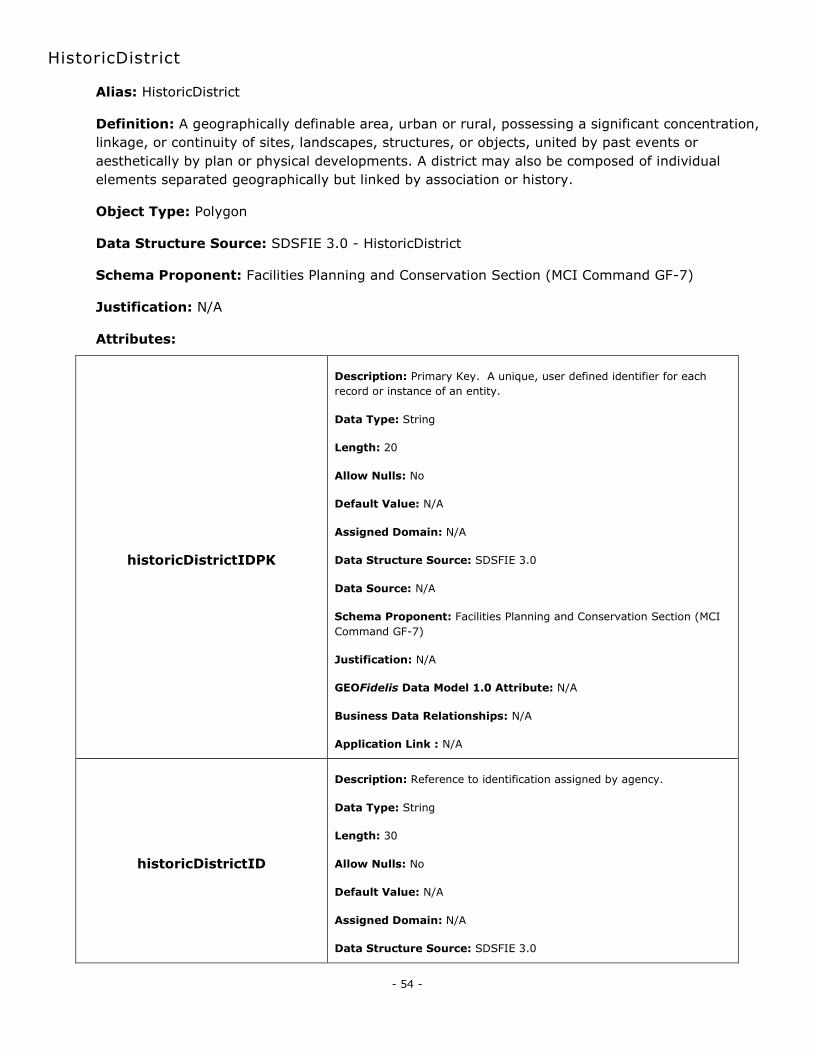
- 54 -
HistoricDistrict
Alias: HistoricDistrict
Definition: A geographically definable area, urban or rural, possessing a significant concentration,
linkage, or continuity of sites, landscapes, structures, or objects, united by past events or
aesthetically by plan or physical developments. A district may also be composed of individual
elements separated geographically but linked by association or history.
Object Type: Polygon
Data Structure Source: SDSFIE 3.0 - HistoricDistrict
Schema Proponent: Facilities Planning and Conservation Section (MCI Command GF-7)
Justification: N/A
Attributes:
historicDistrictIDPK
Description: Primary Key. A unique, user defined identifier for each
record or instance of an entity.
Data Type: String
Length: 20
Allow Nulls: No
Default Value: N/A
Assigned Domain: N/A
Data Structure Source: SDSFIE 3.0
Data Source: N/A
Schema Proponent: Facilities Planning and Conservation Section (MCI
Command GF-7)
Justification: N/A
GEOFidelis Data Model 1.0 Attribute: N/A
Business Data Relationships: N/A
Application Link : N/A
historicDistrictID
Description: Reference to identification assigned by agency.
Data Type: String
Length: 30
Allow Nulls: No
Default Value: N/A
Assigned Domain: N/A
Data Structure Source: SDSFIE 3.0
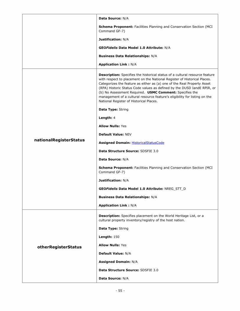
- 55 -
Data Source: N/A
Schema Proponent: Facilities Planning and Conservation Section (MCI
Command GF-7)
Justification: N/A
GEOFidelis Data Model 1.0 Attribute: N/A
Business Data Relationships: N/A
Application Link : N/A
nationalRegisterStatus
Description: Specifies the historical status of a cultural resource feature
with respect to placement on the National Register of Historical Places.
Categorizes the feature as either as (a) one of the Real Property Asset
(RPA) Historic Status Code values as defined by the DUSD IandE RPIR, or
(b) No Assessment Required. USMC Comment: Specifies the
management of a cultural resource feature‘s eligibility for listing on the
National Register of Historical Places.
Data Type: String
Length: 4
Allow Nulls: Yes
Default Value: NEV
Assigned Domain: HistoricalStatusCode
Data Structure Source: SDSFIE 3.0
Data Source: N/A
Schema Proponent: Facilities Planning and Conservation Section (MCI
Command GF-7)
Justification: N/A
GEOFidelis Data Model 1.0 Attribute: NREG_STT_D
Business Data Relationships: N/A
Application Link : N/A
otherRegisterStatus
Description: Specifies placement on the World Heritage List, or a
cultural property inventory/registry of the host nation.
Data Type: String
Length: 150
Allow Nulls: Yes
Default Value: N/A
Assigned Domain: N/A
Data Structure Source: SDSFIE 3.0
Data Source: N/A
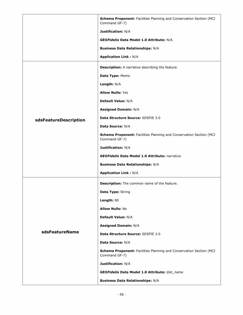
- 56 -
Schema Proponent: Facilities Planning and Conservation Section (MCI
Command GF-7)
Justification: N/A
GEOFidelis Data Model 1.0 Attribute: N/A
Business Data Relationships: N/A
Application Link : N/A
sdsFeatureDescription
Description: A narrative describing the feature.
Data Type: Memo
Length: N/A
Allow Nulls: Yes
Default Value: N/A
Assigned Domain: N/A
Data Structure Source: SDSFIE 3.0
Data Source: N/A
Schema Proponent: Facilities Planning and Conservation Section (MCI
Command GF-7)
Justification: N/A
GEOFidelis Data Model 1.0 Attribute: narrative
Business Data Relationships: N/A
Application Link : N/A
sdsFeatureName
Description: The common name of the feature.
Data Type: String
Length: 80
Allow Nulls: No
Default Value: N/A
Assigned Domain: N/A
Data Structure Source: SDSFIE 3.0
Data Source: N/A
Schema Proponent: Facilities Planning and Conservation Section (MCI
Command GF-7)
Justification: N/A
GEOFidelis Data Model 1.0 Attribute: dist_name
Business Data Relationships: N/A
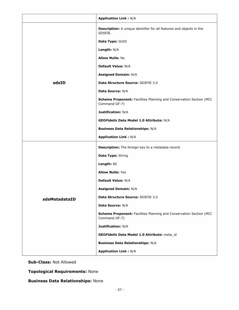
- 57 -
Application Link : N/A
sdsID
Description: A unique identifier for all features and objects in the
SDSFIE.
Data Type: GUID
Length: N/A
Allow Nulls: No
Default Value: N/A
Assigned Domain: N/A
Data Structure Source: SDSFIE 3.0
Data Source: N/A
Schema Proponent: Facilities Planning and Conservation Section (MCI
Command GF-7)
Justification: N/A
GEOFidelis Data Model 1.0 Attribute: N/A
Business Data Relationships: N/A
Application Link : N/A
sdsMetadataID
Description: The foreign key to a metadata record.
Data Type: String
Length: 80
Allow Nulls: Yes
Default Value: N/A
Assigned Domain: N/A
Data Structure Source: SDSFIE 3.0
Data Source: N/A
Schema Proponent: Facilities Planning and Conservation Section (MCI
Command GF-7)
Justification: N/A
GEOFidelis Data Model 1.0 Attribute: meta_id
Business Data Relationships: N/A
Application Link : N/A
Sub-Class: Not Allowed
Topological Requirements: None
Business Data Relationships: None
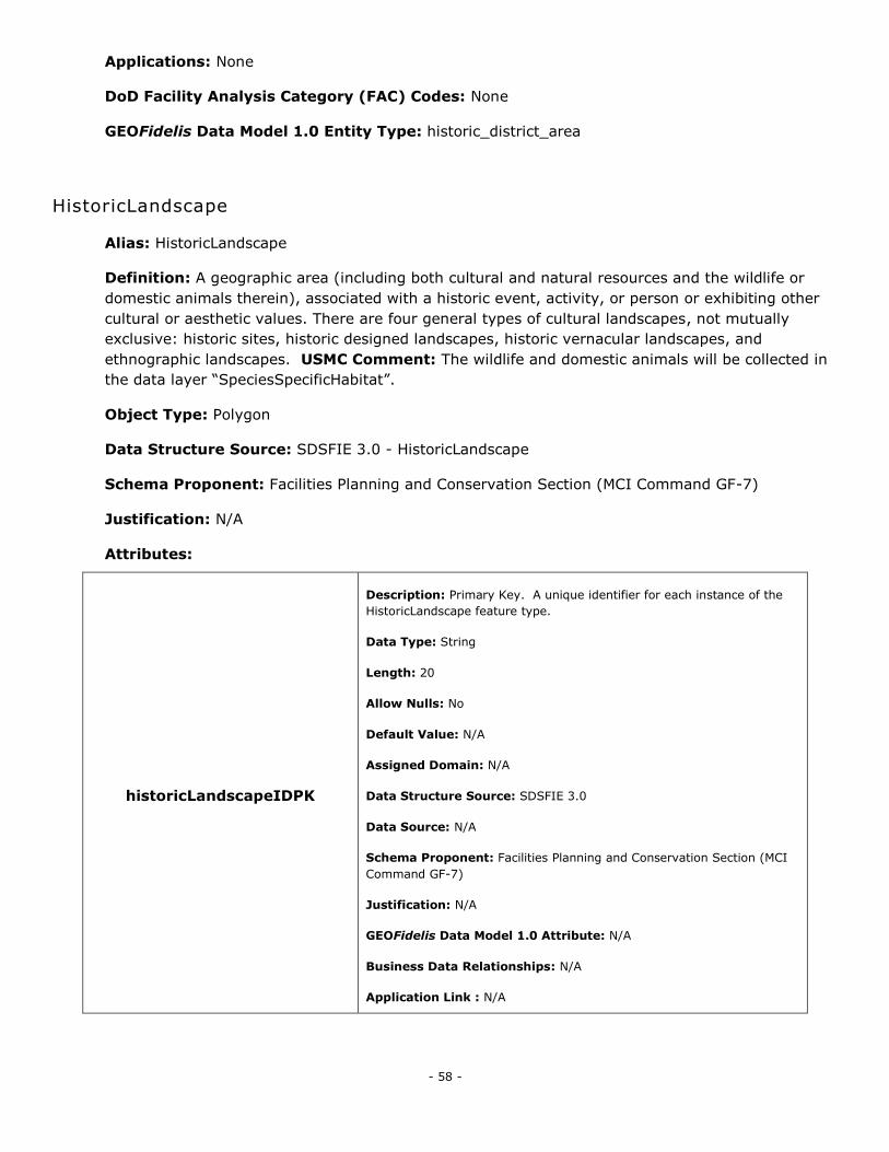
- 58 -
Applications: None
DoD Facility Analysis Category (FAC) Codes: None
GEOFidelis Data Model 1.0 Entity Type: historic_district_area
HistoricLandscape
Alias: HistoricLandscape
Definition: A geographic area (including both cultural and natural resources and the wildlife or
domestic animals therein), associated with a historic event, activity, or person or exhibiting other
cultural or aesthetic values. There are four general types of cultural landscapes, not mutually
exclusive: historic sites, historic designed landscapes, historic vernacular landscapes, and
ethnographic landscapes. USMC Comment: The wildlife and domestic animals will be collected in
the data layer ―SpeciesSpecificHabitat‖.
Object Type: Polygon
Data Structure Source: SDSFIE 3.0 - HistoricLandscape
Schema Proponent: Facilities Planning and Conservation Section (MCI Command GF-7)
Justification: N/A
Attributes:
historicLandscapeIDPK
Description: Primary Key. A unique identifier for each instance of the
HistoricLandscape feature type.
Data Type: String
Length: 20
Allow Nulls: No
Default Value: N/A
Assigned Domain: N/A
Data Structure Source: SDSFIE 3.0
Data Source: N/A
Schema Proponent: Facilities Planning and Conservation Section (MCI
Command GF-7)
Justification: N/A
GEOFidelis Data Model 1.0 Attribute: N/A
Business Data Relationships: N/A
Application Link : N/A
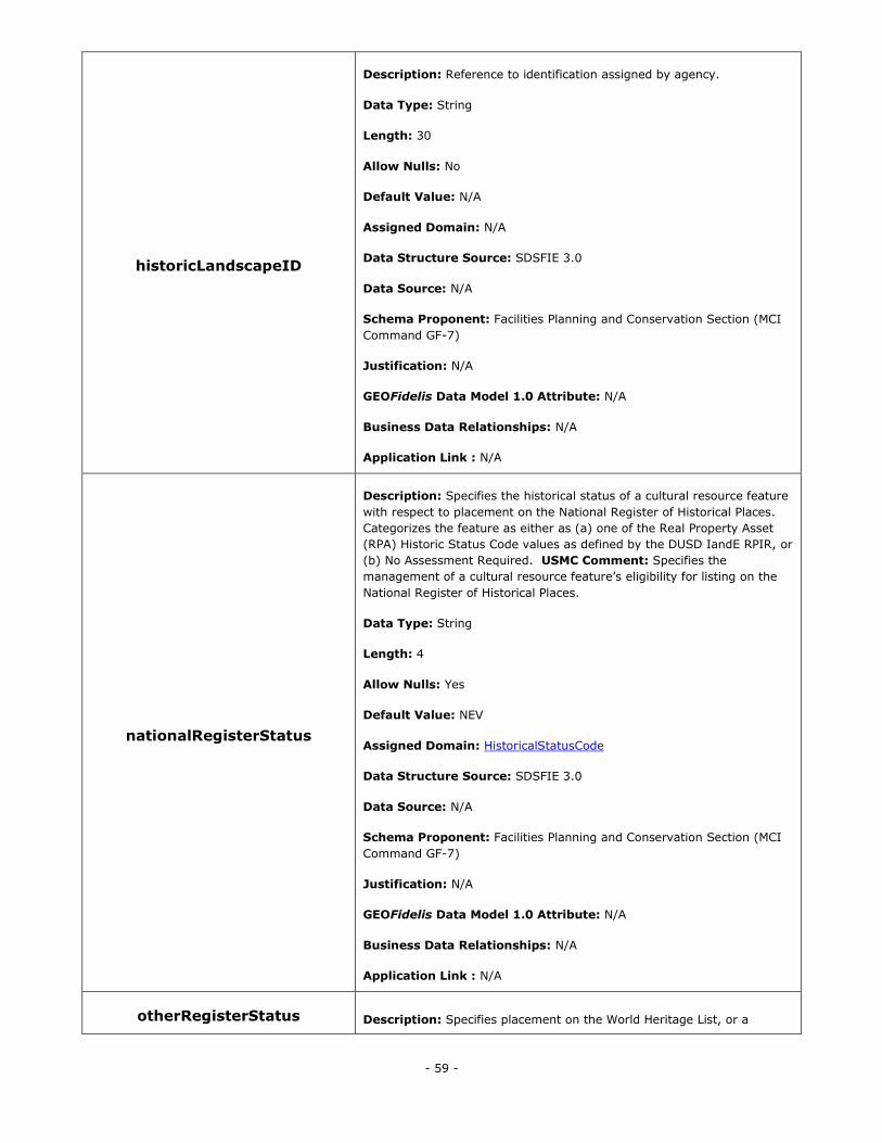
- 59 -
historicLandscapeID
Description: Reference to identification assigned by agency.
Data Type: String
Length: 30
Allow Nulls: No
Default Value: N/A
Assigned Domain: N/A
Data Structure Source: SDSFIE 3.0
Data Source: N/A
Schema Proponent: Facilities Planning and Conservation Section (MCI
Command GF-7)
Justification: N/A
GEOFidelis Data Model 1.0 Attribute: N/A
Business Data Relationships: N/A
Application Link : N/A
nationalRegisterStatus
Description: Specifies the historical status of a cultural resource feature
with respect to placement on the National Register of Historical Places.
Categorizes the feature as either as (a) one of the Real Property Asset
(RPA) Historic Status Code values as defined by the DUSD IandE RPIR, or
(b) No Assessment Required. USMC Comment: Specifies the
management of a cultural resource feature‘s eligibility for listing on the
National Register of Historical Places.
Data Type: String
Length: 4
Allow Nulls: Yes
Default Value: NEV
Assigned Domain: HistoricalStatusCode
Data Structure Source: SDSFIE 3.0
Data Source: N/A
Schema Proponent: Facilities Planning and Conservation Section (MCI
Command GF-7)
Justification: N/A
GEOFidelis Data Model 1.0 Attribute: N/A
Business Data Relationships: N/A
Application Link : N/A
otherRegisterStatus Description: Specifies placement on the World Heritage List, or a
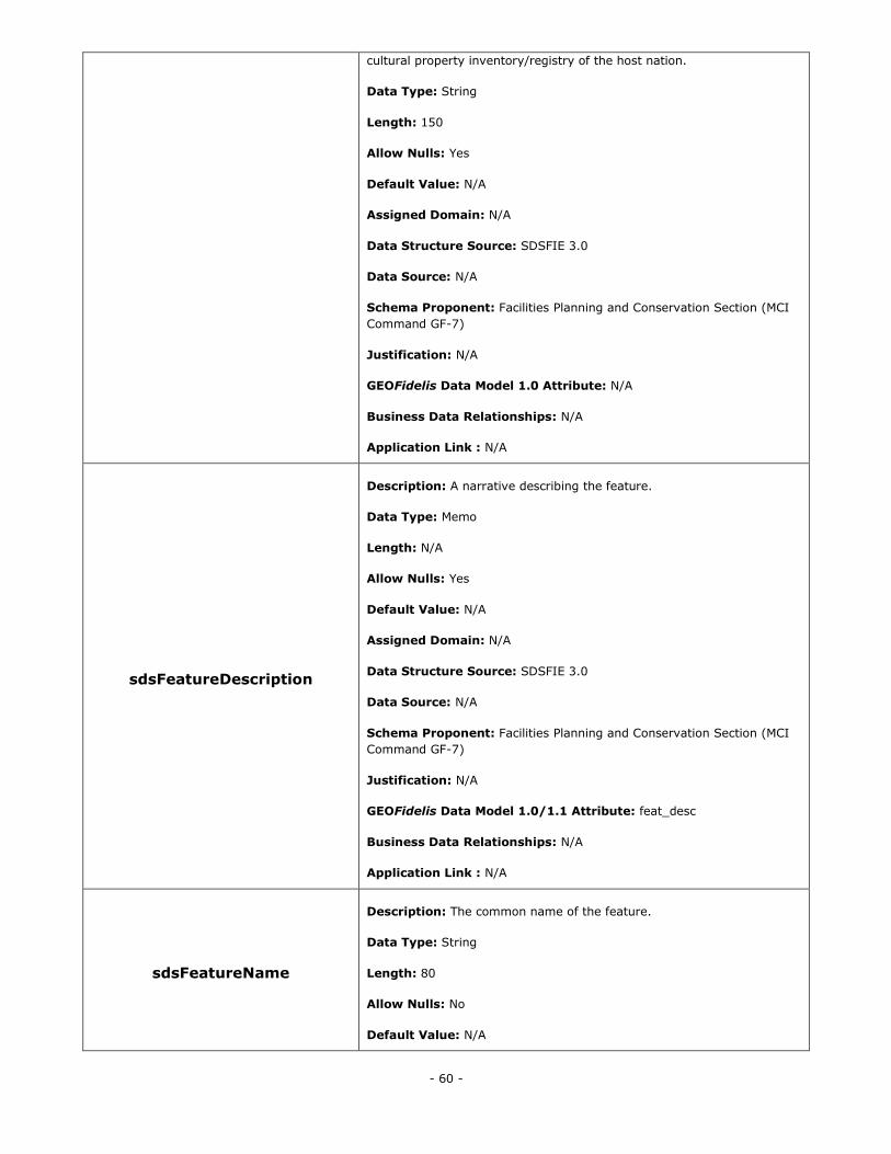
- 60 -
cultural property inventory/registry of the host nation.
Data Type: String
Length: 150
Allow Nulls: Yes
Default Value: N/A
Assigned Domain: N/A
Data Structure Source: SDSFIE 3.0
Data Source: N/A
Schema Proponent: Facilities Planning and Conservation Section (MCI
Command GF-7)
Justification: N/A
GEOFidelis Data Model 1.0 Attribute: N/A
Business Data Relationships: N/A
Application Link : N/A
sdsFeatureDescription
Description: A narrative describing the feature.
Data Type: Memo
Length: N/A
Allow Nulls: Yes
Default Value: N/A
Assigned Domain: N/A
Data Structure Source: SDSFIE 3.0
Data Source: N/A
Schema Proponent: Facilities Planning and Conservation Section (MCI
Command GF-7)
Justification: N/A
GEOFidelis Data Model 1.0/1.1 Attribute: feat_desc
Business Data Relationships: N/A
Application Link : N/A
sdsFeatureName
Description: The common name of the feature.
Data Type: String
Length: 80
Allow Nulls: No
Default Value: N/A
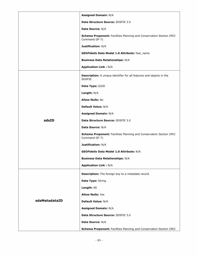
- 61 -
Assigned Domain: N/A
Data Structure Source: SDSFIE 3.0
Data Source: N/A
Schema Proponent: Facilities Planning and Conservation Section (MCI
Command GF-7)
Justification: N/A
GEOFidelis Data Model 1.0 Attribute: feat_name
Business Data Relationships: N/A
Application Link : N/A
sdsID
Description: A unique identifier for all features and objects in the
SDSFIE.
Data Type: GUID
Length: N/A
Allow Nulls: No
Default Value: N/A
Assigned Domain: N/A
Data Structure Source: SDSFIE 3.0
Data Source: N/A
Schema Proponent: Facilities Planning and Conservation Section (MCI
Command GF-7)
Justification: N/A
GEOFidelis Data Model 1.0 Attribute: N/A
Business Data Relationships: N/A
Application Link : N/A
sdsMetadataID
Description: The foreign key to a metadata record.
Data Type: String
Length: 80
Allow Nulls: Yes
Default Value: N/A
Assigned Domain: N/A
Data Structure Source: SDSFIE 3.0
Data Source: N/A
Schema Proponent: Facilities Planning and Conservation Section (MCI
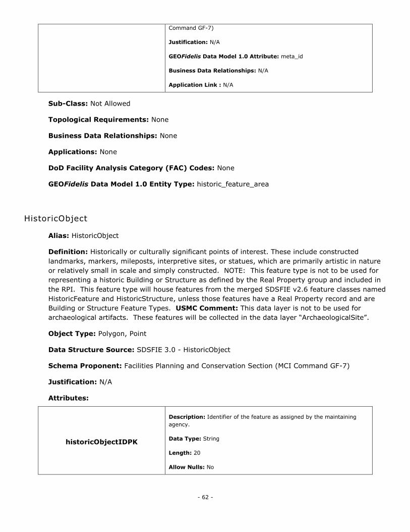
- 62 -
Command GF-7)
Justification: N/A
GEOFidelis Data Model 1.0 Attribute: meta_id
Business Data Relationships: N/A
Application Link : N/A
Sub-Class: Not Allowed
Topological Requirements: None
Business Data Relationships: None
Applications: None
DoD Facility Analysis Category (FAC) Codes: None
GEOFidelis Data Model 1.0 Entity Type: historic_feature_area
HistoricObject
Alias: HistoricObject
Definition: Historically or culturally significant points of interest. These include constructed
landmarks, markers, mileposts, interpretive sites, or statues, which are primarily artistic in nature
or relatively small in scale and simply constructed. NOTE: This feature type is not to be used for
representing a historic Building or Structure as defined by the Real Property group and included in
the RPI. This feature type will house features from the merged SDSFIE v2.6 feature classes named
HistoricFeature and HistoricStructure, unless those features have a Real Property record and are
Building or Structure Feature Types. USMC Comment: This data layer is not to be used for
archaeological artifacts. These features will be collected in the data layer ―ArchaeologicalSite‖.
Object Type: Polygon, Point
Data Structure Source: SDSFIE 3.0 - HistoricObject
Schema Proponent: Facilities Planning and Conservation Section (MCI Command GF-7)
Justification: N/A
Attributes:
historicObjectIDPK
Description: Identifier of the feature as assigned by the maintaining
agency.
Data Type: String
Length: 20
Allow Nulls: No
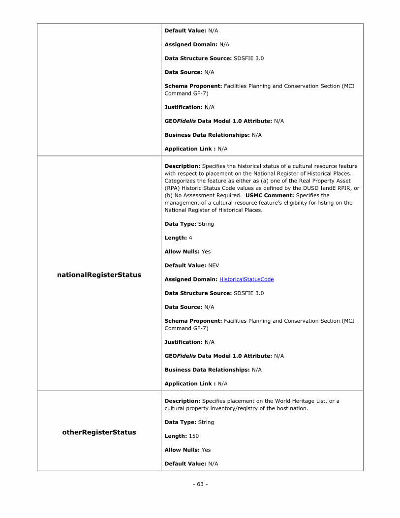
- 63 -
Default Value: N/A
Assigned Domain: N/A
Data Structure Source: SDSFIE 3.0
Data Source: N/A
Schema Proponent: Facilities Planning and Conservation Section (MCI
Command GF-7)
Justification: N/A
GEOFidelis Data Model 1.0 Attribute: N/A
Business Data Relationships: N/A
Application Link : N/A
nationalRegisterStatus
Description: Specifies the historical status of a cultural resource feature
with respect to placement on the National Register of Historical Places.
Categorizes the feature as either as (a) one of the Real Property Asset
(RPA) Historic Status Code values as defined by the DUSD IandE RPIR, or
(b) No Assessment Required. USMC Comment: Specifies the
management of a cultural resource feature‘s eligibility for listing on the
National Register of Historical Places.
Data Type: String
Length: 4
Allow Nulls: Yes
Default Value: NEV
Assigned Domain: HistoricalStatusCode
Data Structure Source: SDSFIE 3.0
Data Source: N/A
Schema Proponent: Facilities Planning and Conservation Section (MCI
Command GF-7)
Justification: N/A
GEOFidelis Data Model 1.0 Attribute: N/A
Business Data Relationships: N/A
Application Link : N/A
otherRegisterStatus
Description: Specifies placement on the World Heritage List, or a
cultural property inventory/registry of the host nation.
Data Type: String
Length: 150
Allow Nulls: Yes
Default Value: N/A
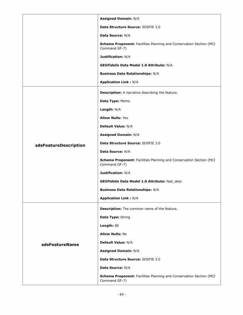
- 64 -
Assigned Domain: N/A
Data Structure Source: SDSFIE 3.0
Data Source: N/A
Schema Proponent: Facilities Planning and Conservation Section (MCI
Command GF-7)
Justification: N/A
GEOFidelis Data Model 1.0 Attribute: N/A
Business Data Relationships: N/A
Application Link : N/A
sdsFeatureDescription
Description: A narrative describing the feature.
Data Type: Memo
Length: N/A
Allow Nulls: Yes
Default Value: N/A
Assigned Domain: N/A
Data Structure Source: SDSFIE 3.0
Data Source: N/A
Schema Proponent: Facilities Planning and Conservation Section (MCI
Command GF-7)
Justification: N/A
GEOFidelis Data Model 1.0 Attribute: feat_desc
Business Data Relationships: N/A
Application Link : N/A
sdsFeatureName
Description: The common name of the feature.
Data Type: String
Length: 80
Allow Nulls: No
Default Value: N/A
Assigned Domain: N/A
Data Structure Source: SDSFIE 3.0
Data Source: N/A
Schema Proponent: Facilities Planning and Conservation Section (MCI
Command GF-7)
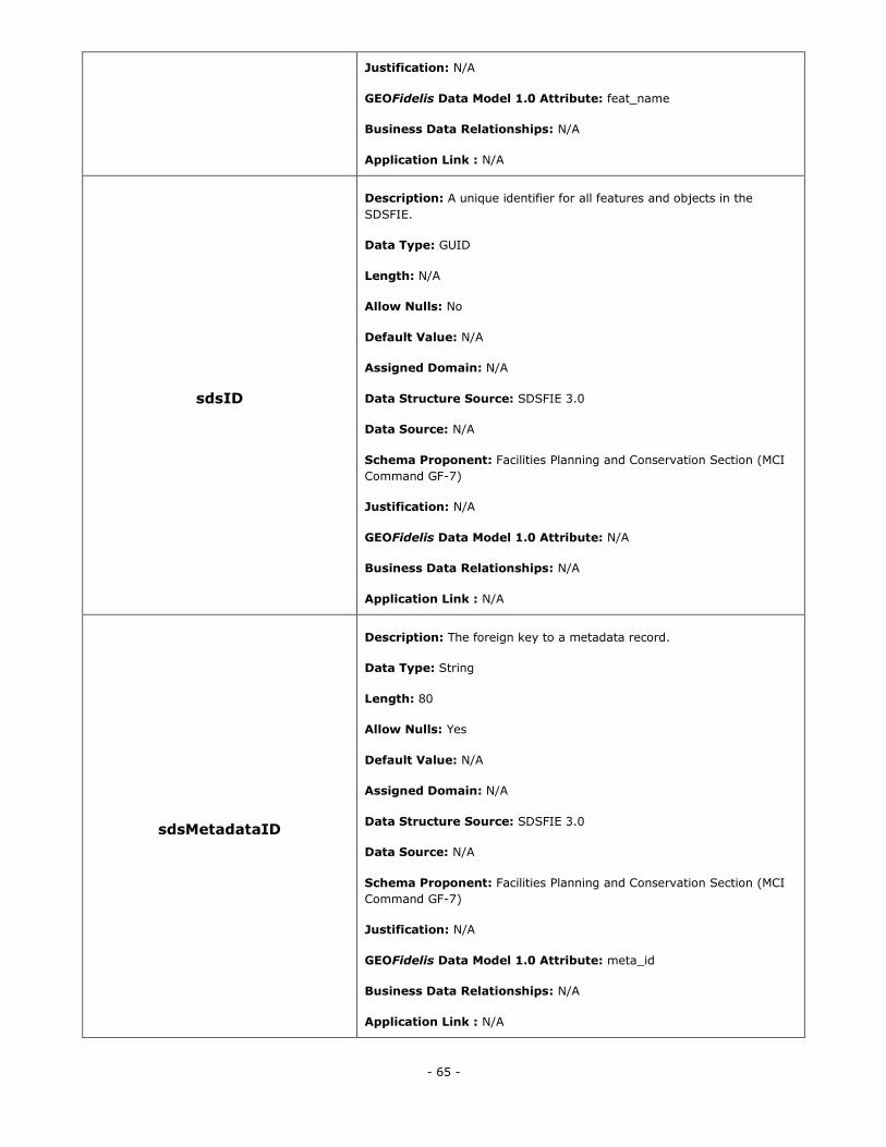
- 65 -
Justification: N/A
GEOFidelis Data Model 1.0 Attribute: feat_name
Business Data Relationships: N/A
Application Link : N/A
sdsID
Description: A unique identifier for all features and objects in the
SDSFIE.
Data Type: GUID
Length: N/A
Allow Nulls: No
Default Value: N/A
Assigned Domain: N/A
Data Structure Source: SDSFIE 3.0
Data Source: N/A
Schema Proponent: Facilities Planning and Conservation Section (MCI
Command GF-7)
Justification: N/A
GEOFidelis Data Model 1.0 Attribute: N/A
Business Data Relationships: N/A
Application Link : N/A
sdsMetadataID
Description: The foreign key to a metadata record.
Data Type: String
Length: 80
Allow Nulls: Yes
Default Value: N/A
Assigned Domain: N/A
Data Structure Source: SDSFIE 3.0
Data Source: N/A
Schema Proponent: Facilities Planning and Conservation Section (MCI
Command GF-7)
Justification: N/A
GEOFidelis Data Model 1.0 Attribute: meta_id
Business Data Relationships: N/A
Application Link : N/A
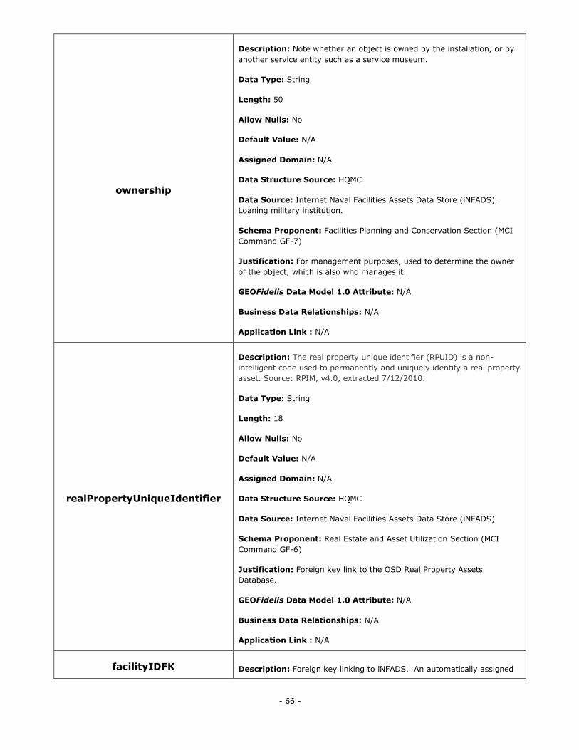
- 66 -
ownership
Description: Note whether an object is owned by the installation, or by
another service entity such as a service museum.
Data Type: String
Length: 50
Allow Nulls: No
Default Value: N/A
Assigned Domain: N/A
Data Structure Source: HQMC
Data Source: Internet Naval Facilities Assets Data Store (iNFADS).
Loaning military institution.
Schema Proponent: Facilities Planning and Conservation Section (MCI
Command GF-7)
Justification: For management purposes, used to determine the owner
of the object, which is also who manages it.
GEOFidelis Data Model 1.0 Attribute: N/A
Business Data Relationships: N/A
Application Link : N/A
realPropertyUniqueIdentifier
Description: The real property unique identifier (RPUID) is a non-
intelligent code used to permanently and uniquely identify a real property
asset. Source: RPIM, v4.0, extracted 7/12/2010.
Data Type: String
Length: 18
Allow Nulls: No
Default Value: N/A
Assigned Domain: N/A
Data Structure Source: HQMC
Data Source: Internet Naval Facilities Assets Data Store (iNFADS)
Schema Proponent: Real Estate and Asset Utilization Section (MCI
Command GF-6)
Justification: Foreign key link to the OSD Real Property Assets
Database.
GEOFidelis Data Model 1.0 Attribute: N/A
Business Data Relationships: N/A
Application Link : N/A
facilityIDFK Description: Foreign key linking to iNFADS. An automatically assigned
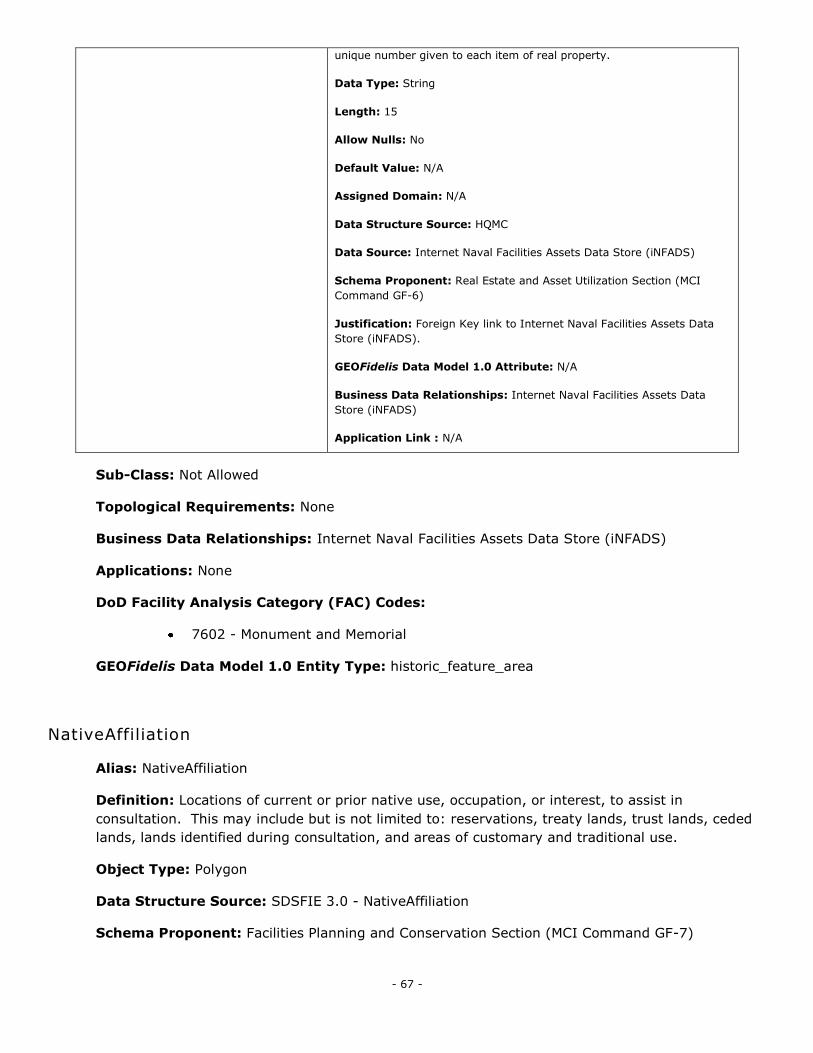
- 67 -
unique number given to each item of real property.
Data Type: String
Length: 15
Allow Nulls: No
Default Value: N/A
Assigned Domain: N/A
Data Structure Source: HQMC
Data Source: Internet Naval Facilities Assets Data Store (iNFADS)
Schema Proponent: Real Estate and Asset Utilization Section (MCI
Command GF-6)
Justification: Foreign Key link to Internet Naval Facilities Assets Data
Store (iNFADS).
GEOFidelis Data Model 1.0 Attribute: N/A
Business Data Relationships: Internet Naval Facilities Assets Data
Store (iNFADS)
Application Link : N/A
Sub-Class: Not Allowed
Topological Requirements: None
Business Data Relationships: Internet Naval Facilities Assets Data Store (iNFADS)
Applications: None
DoD Facility Analysis Category (FAC) Codes:
7602 - Monument and Memorial
GEOFidelis Data Model 1.0 Entity Type: historic_feature_area
NativeAffiliation
Alias: NativeAffiliation
Definition: Locations of current or prior native use, occupation, or interest, to assist in
consultation. This may include but is not limited to: reservations, treaty lands, trust lands, ceded
lands, lands identified during consultation, and areas of customary and traditional use.
Object Type: Polygon
Data Structure Source: SDSFIE 3.0 - NativeAffiliation
Schema Proponent: Facilities Planning and Conservation Section (MCI Command GF-7)
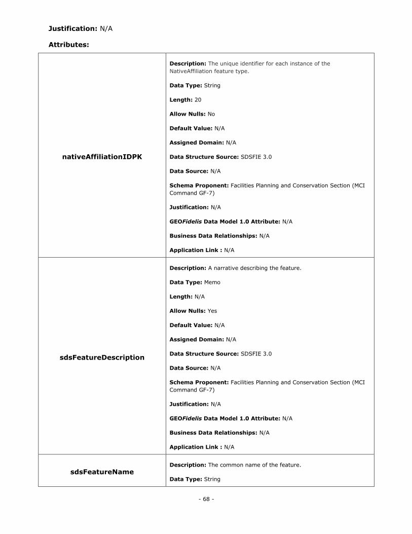
- 68 -
Justification: N/A
Attributes:
nativeAffiliationIDPK
Description: The unique identifier for each instance of the
NativeAffiliation feature type.
Data Type: String
Length: 20
Allow Nulls: No
Default Value: N/A
Assigned Domain: N/A
Data Structure Source: SDSFIE 3.0
Data Source: N/A
Schema Proponent: Facilities Planning and Conservation Section (MCI
Command GF-7)
Justification: N/A
GEOFidelis Data Model 1.0 Attribute: N/A
Business Data Relationships: N/A
Application Link : N/A
sdsFeatureDescription
Description: A narrative describing the feature.
Data Type: Memo
Length: N/A
Allow Nulls: Yes
Default Value: N/A
Assigned Domain: N/A
Data Structure Source: SDSFIE 3.0
Data Source: N/A
Schema Proponent: Facilities Planning and Conservation Section (MCI
Command GF-7)
Justification: N/A
GEOFidelis Data Model 1.0 Attribute: N/A
Business Data Relationships: N/A
Application Link : N/A
sdsFeatureName Description: The common name of the feature.
Data Type: String
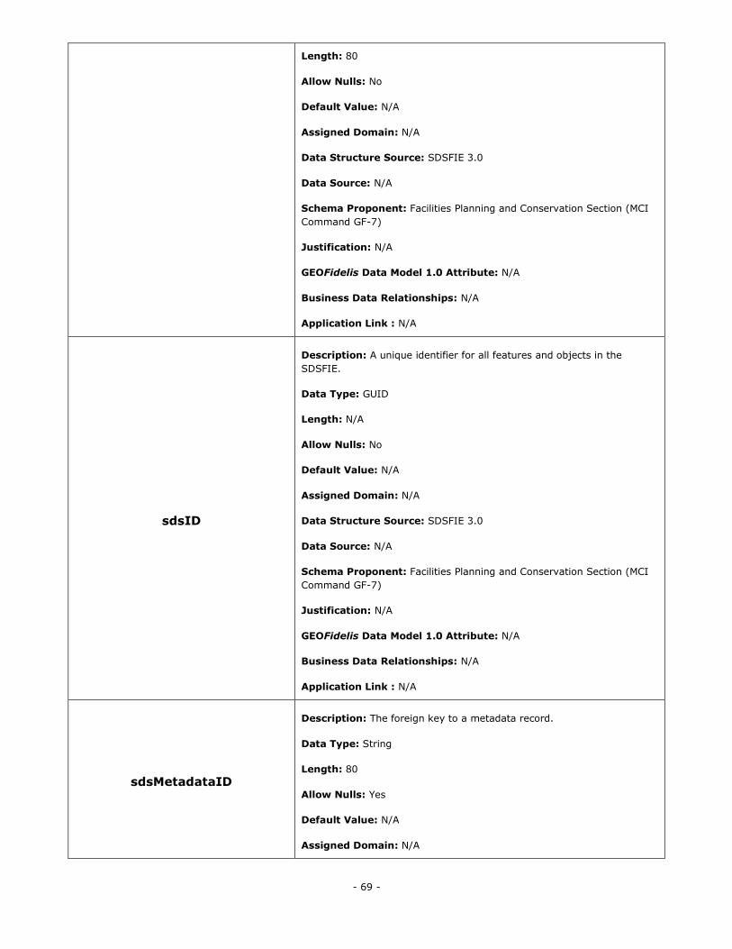
- 69 -
Length: 80
Allow Nulls: No
Default Value: N/A
Assigned Domain: N/A
Data Structure Source: SDSFIE 3.0
Data Source: N/A
Schema Proponent: Facilities Planning and Conservation Section (MCI
Command GF-7)
Justification: N/A
GEOFidelis Data Model 1.0 Attribute: N/A
Business Data Relationships: N/A
Application Link : N/A
sdsID
Description: A unique identifier for all features and objects in the
SDSFIE.
Data Type: GUID
Length: N/A
Allow Nulls: No
Default Value: N/A
Assigned Domain: N/A
Data Structure Source: SDSFIE 3.0
Data Source: N/A
Schema Proponent: Facilities Planning and Conservation Section (MCI
Command GF-7)
Justification: N/A
GEOFidelis Data Model 1.0 Attribute: N/A
Business Data Relationships: N/A
Application Link : N/A
sdsMetadataID
Description: The foreign key to a metadata record.
Data Type: String
Length: 80
Allow Nulls: Yes
Default Value: N/A
Assigned Domain: N/A
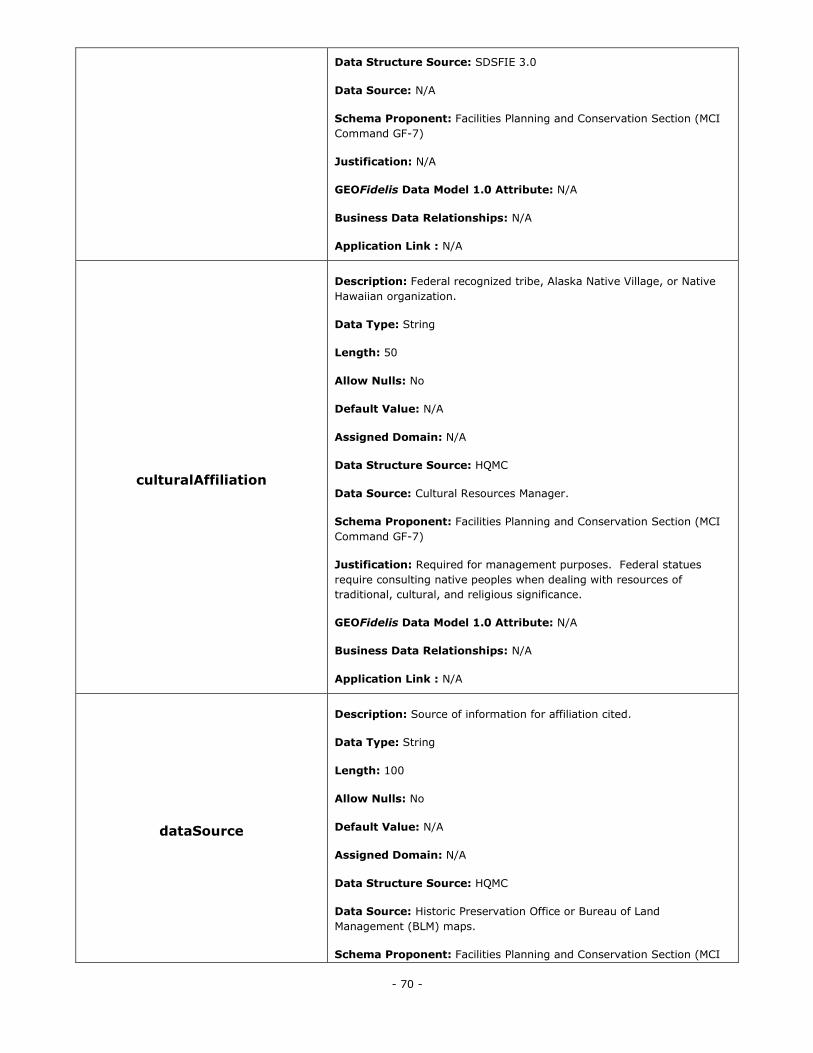
- 70 -
Data Structure Source: SDSFIE 3.0
Data Source: N/A
Schema Proponent: Facilities Planning and Conservation Section (MCI
Command GF-7)
Justification: N/A
GEOFidelis Data Model 1.0 Attribute: N/A
Business Data Relationships: N/A
Application Link : N/A
culturalAffiliation
Description: Federal recognized tribe, Alaska Native Village, or Native
Hawaiian organization.
Data Type: String
Length: 50
Allow Nulls: No
Default Value: N/A
Assigned Domain: N/A
Data Structure Source: HQMC
Data Source: Cultural Resources Manager.
Schema Proponent: Facilities Planning and Conservation Section (MCI
Command GF-7)
Justification: Required for management purposes. Federal statues
require consulting native peoples when dealing with resources of
traditional, cultural, and religious significance.
GEOFidelis Data Model 1.0 Attribute: N/A
Business Data Relationships: N/A
Application Link : N/A
dataSource
Description: Source of information for affiliation cited.
Data Type: String
Length: 100
Allow Nulls: No
Default Value: N/A
Assigned Domain: N/A
Data Structure Source: HQMC
Data Source: Historic Preservation Office or Bureau of Land
Management (BLM) maps.
Schema Proponent: Facilities Planning and Conservation Section (MCI
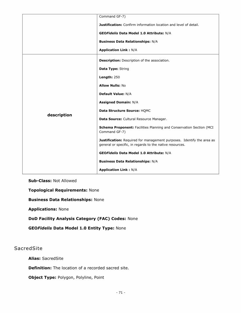
- 71 -
Command GF-7)
Justification: Confirm information location and level of detail.
GEOFidelis Data Model 1.0 Attribute: N/A
Business Data Relationships: N/A
Application Link : N/A
description
Description: Description of the association.
Data Type: String
Length: 250
Allow Nulls: No
Default Value: N/A
Assigned Domain: N/A
Data Structure Source: HQMC
Data Source: Cultural Resource Manager.
Schema Proponent: Facilities Planning and Conservation Section (MCI
Command GF-7)
Justification: Required for management purposes. Identify the area as
general or specific, in regards to the native resources.
GEOFidelis Data Model 1.0 Attribute: N/A
Business Data Relationships: N/A
Application Link : N/A
Sub-Class: Not Allowed
Topological Requirements: None
Business Data Relationships: None
Applications: None
DoD Facility Analysis Category (FAC) Codes: None
GEOFidelis Data Model 1.0 Entity Type: None
SacredSite
Alias: SacredSite
Definition: The location of a recorded sacred site.
Object Type: Polygon, Polyline, Point
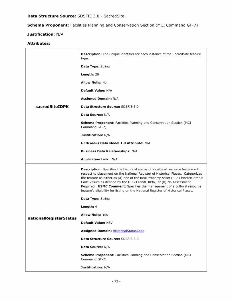
- 72 -
Data Structure Source: SDSFIE 3.0 - SacredSite
Schema Proponent: Facilities Planning and Conservation Section (MCI Command GF-7)
Justification: N/A
Attributes:
sacredSiteIDPK
Description: The unique identifier for each instance of the SacredSite feature
type.
Data Type: String
Length: 20
Allow Nulls: No
Default Value: N/A
Assigned Domain: N/A
Data Structure Source: SDSFIE 3.0
Data Source: N/A
Schema Proponent: Facilities Planning and Conservation Section (MCI
Command GF-7)
Justification: N/A
GEOFidelis Data Model 1.0 Attribute: N/A
Business Data Relationships: N/A
Application Link : N/A
nationalRegisterStatus
Description: Specifies the historical status of a cultural resource feature with
respect to placement on the National Register of Historical Places. Categorizes
the feature as either as (a) one of the Real Property Asset (RPA) Historic Status
Code values as defined by the DUSD IandE RPIR, or (b) No Assessment
Required. USMC Comment: Specifies the management of a cultural resource
feature‘s eligibility for listing on the National Register of Historical Places.
Data Type: String
Length: 4
Allow Nulls: Yes
Default Value: NEV
Assigned Domain: HistoricalStatusCode
Data Structure Source: SDSFIE 3.0
Data Source: N/A
Schema Proponent: Facilities Planning and Conservation Section (MCI
Command GF-7)
Justification: N/A
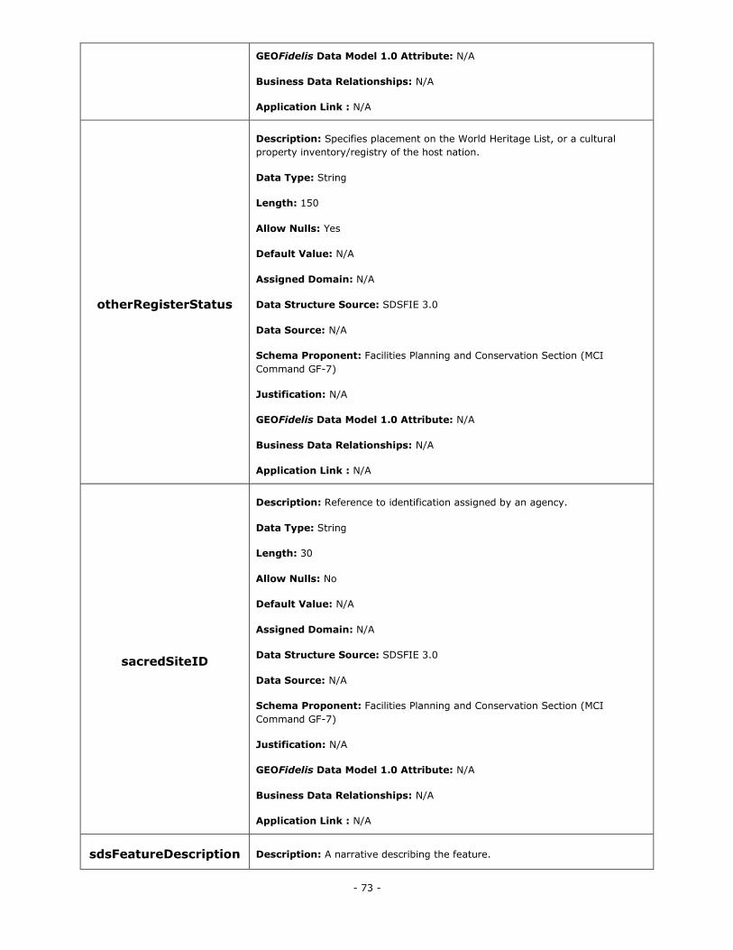
- 73 -
GEOFidelis Data Model 1.0 Attribute: N/A
Business Data Relationships: N/A
Application Link : N/A
otherRegisterStatus
Description: Specifies placement on the World Heritage List, or a cultural
property inventory/registry of the host nation.
Data Type: String
Length: 150
Allow Nulls: Yes
Default Value: N/A
Assigned Domain: N/A
Data Structure Source: SDSFIE 3.0
Data Source: N/A
Schema Proponent: Facilities Planning and Conservation Section (MCI
Command GF-7)
Justification: N/A
GEOFidelis Data Model 1.0 Attribute: N/A
Business Data Relationships: N/A
Application Link : N/A
sacredSiteID
Description: Reference to identification assigned by an agency.
Data Type: String
Length: 30
Allow Nulls: No
Default Value: N/A
Assigned Domain: N/A
Data Structure Source: SDSFIE 3.0
Data Source: N/A
Schema Proponent: Facilities Planning and Conservation Section (MCI
Command GF-7)
Justification: N/A
GEOFidelis Data Model 1.0 Attribute: N/A
Business Data Relationships: N/A
Application Link : N/A
sdsFeatureDescription Description: A narrative describing the feature.
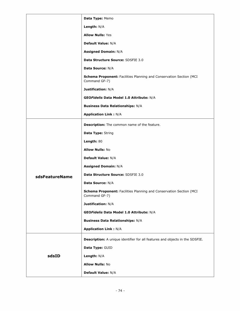
- 74 -
Data Type: Memo
Length: N/A
Allow Nulls: Yes
Default Value: N/A
Assigned Domain: N/A
Data Structure Source: SDSFIE 3.0
Data Source: N/A
Schema Proponent: Facilities Planning and Conservation Section (MCI
Command GF-7)
Justification: N/A
GEOFidelis Data Model 1.0 Attribute: N/A
Business Data Relationships: N/A
Application Link : N/A
sdsFeatureName
Description: The common name of the feature.
Data Type: String
Length: 80
Allow Nulls: No
Default Value: N/A
Assigned Domain: N/A
Data Structure Source: SDSFIE 3.0
Data Source: N/A
Schema Proponent: Facilities Planning and Conservation Section (MCI
Command GF-7)
Justification: N/A
GEOFidelis Data Model 1.0 Attribute: N/A
Business Data Relationships: N/A
Application Link : N/A
sdsID
Description: A unique identifier for all features and objects in the SDSFIE.
Data Type: GUID
Length: N/A
Allow Nulls: No
Default Value: N/A
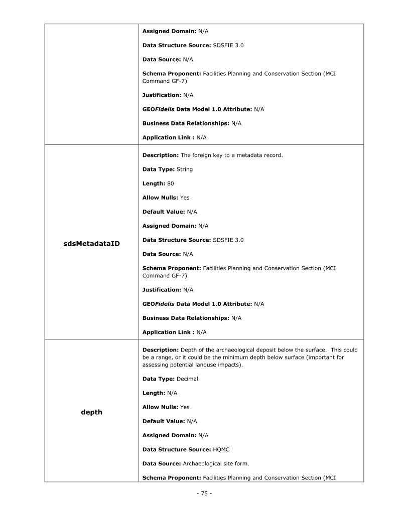
- 75 -
Assigned Domain: N/A
Data Structure Source: SDSFIE 3.0
Data Source: N/A
Schema Proponent: Facilities Planning and Conservation Section (MCI
Command GF-7)
Justification: N/A
GEOFidelis Data Model 1.0 Attribute: N/A
Business Data Relationships: N/A
Application Link : N/A
sdsMetadataID
Description: The foreign key to a metadata record.
Data Type: String
Length: 80
Allow Nulls: Yes
Default Value: N/A
Assigned Domain: N/A
Data Structure Source: SDSFIE 3.0
Data Source: N/A
Schema Proponent: Facilities Planning and Conservation Section (MCI
Command GF-7)
Justification: N/A
GEOFidelis Data Model 1.0 Attribute: N/A
Business Data Relationships: N/A
Application Link : N/A
depth
Description: Depth of the archaeological deposit below the surface. This could
be a range, or it could be the minimum depth below surface (important for
assessing potential landuse impacts).
Data Type: Decimal
Length: N/A
Allow Nulls: Yes
Default Value: N/A
Assigned Domain: N/A
Data Structure Source: HQMC
Data Source: Archaeological site form.
Schema Proponent: Facilities Planning and Conservation Section (MCI
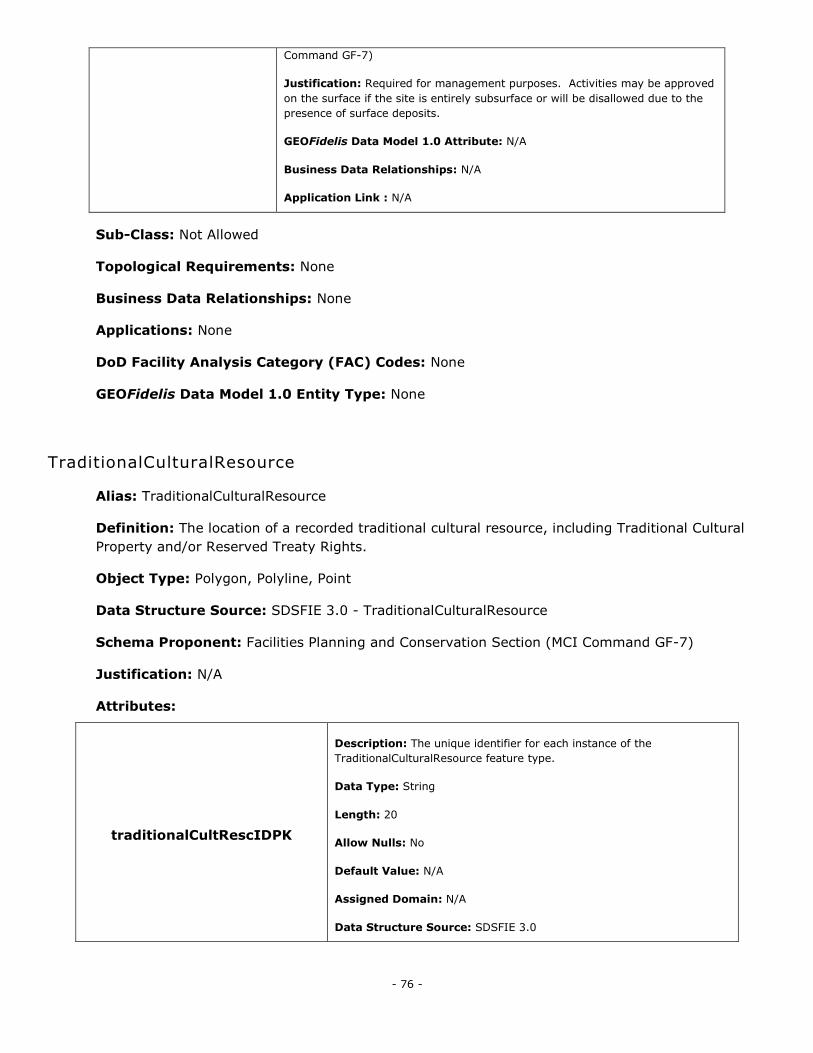
- 76 -
Command GF-7)
Justification: Required for management purposes. Activities may be approved
on the surface if the site is entirely subsurface or will be disallowed due to the
presence of surface deposits.
GEOFidelis Data Model 1.0 Attribute: N/A
Business Data Relationships: N/A
Application Link : N/A
Sub-Class: Not Allowed
Topological Requirements: None
Business Data Relationships: None
Applications: None
DoD Facility Analysis Category (FAC) Codes: None
GEOFidelis Data Model 1.0 Entity Type: None
TraditionalCulturalResource
Alias: TraditionalCulturalResource
Definition: The location of a recorded traditional cultural resource, including Traditional Cultural
Property and/or Reserved Treaty Rights.
Object Type: Polygon, Polyline, Point
Data Structure Source: SDSFIE 3.0 - TraditionalCulturalResource
Schema Proponent: Facilities Planning and Conservation Section (MCI Command GF-7)
Justification: N/A
Attributes:
traditionalCultRescIDPK
Description: The unique identifier for each instance of the
TraditionalCulturalResource feature type.
Data Type: String
Length: 20
Allow Nulls: No
Default Value: N/A
Assigned Domain: N/A
Data Structure Source: SDSFIE 3.0
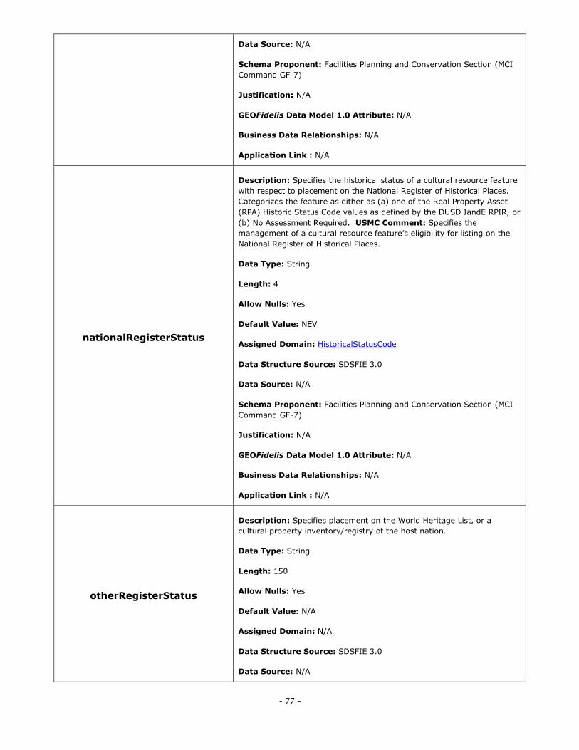
- 77 -
Data Source: N/A
Schema Proponent: Facilities Planning and Conservation Section (MCI
Command GF-7)
Justification: N/A
GEOFidelis Data Model 1.0 Attribute: N/A
Business Data Relationships: N/A
Application Link : N/A
nationalRegisterStatus
Description: Specifies the historical status of a cultural resource feature
with respect to placement on the National Register of Historical Places.
Categorizes the feature as either as (a) one of the Real Property Asset
(RPA) Historic Status Code values as defined by the DUSD IandE RPIR, or
(b) No Assessment Required. USMC Comment: Specifies the
management of a cultural resource feature‘s eligibility for listing on the
National Register of Historical Places.
Data Type: String
Length: 4
Allow Nulls: Yes
Default Value: NEV
Assigned Domain: HistoricalStatusCode
Data Structure Source: SDSFIE 3.0
Data Source: N/A
Schema Proponent: Facilities Planning and Conservation Section (MCI
Command GF-7)
Justification: N/A
GEOFidelis Data Model 1.0 Attribute: N/A
Business Data Relationships: N/A
Application Link : N/A
otherRegisterStatus
Description: Specifies placement on the World Heritage List, or a
cultural property inventory/registry of the host nation.
Data Type: String
Length: 150
Allow Nulls: Yes
Default Value: N/A
Assigned Domain: N/A
Data Structure Source: SDSFIE 3.0
Data Source: N/A
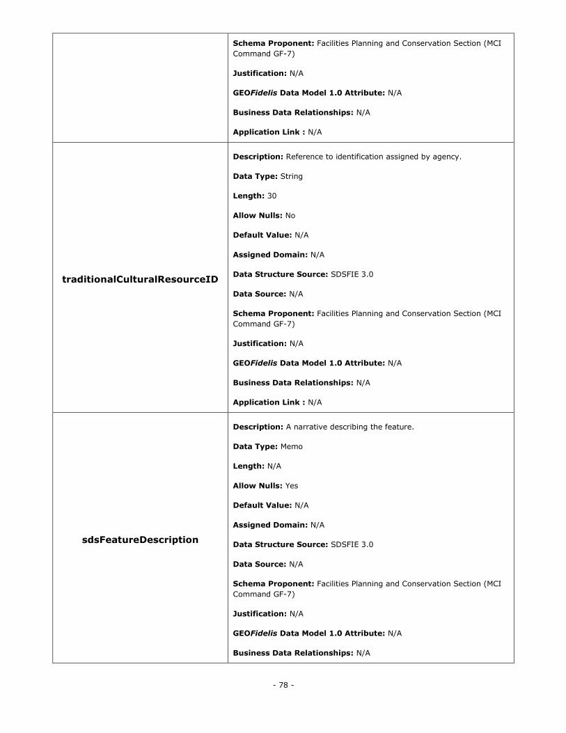
- 78 -
Schema Proponent: Facilities Planning and Conservation Section (MCI
Command GF-7)
Justification: N/A
GEOFidelis Data Model 1.0 Attribute: N/A
Business Data Relationships: N/A
Application Link : N/A
traditionalCulturalResourceID
Description: Reference to identification assigned by agency.
Data Type: String
Length: 30
Allow Nulls: No
Default Value: N/A
Assigned Domain: N/A
Data Structure Source: SDSFIE 3.0
Data Source: N/A
Schema Proponent: Facilities Planning and Conservation Section (MCI
Command GF-7)
Justification: N/A
GEOFidelis Data Model 1.0 Attribute: N/A
Business Data Relationships: N/A
Application Link : N/A
sdsFeatureDescription
Description: A narrative describing the feature.
Data Type: Memo
Length: N/A
Allow Nulls: Yes
Default Value: N/A
Assigned Domain: N/A
Data Structure Source: SDSFIE 3.0
Data Source: N/A
Schema Proponent: Facilities Planning and Conservation Section (MCI
Command GF-7)
Justification: N/A
GEOFidelis Data Model 1.0 Attribute: N/A
Business Data Relationships: N/A
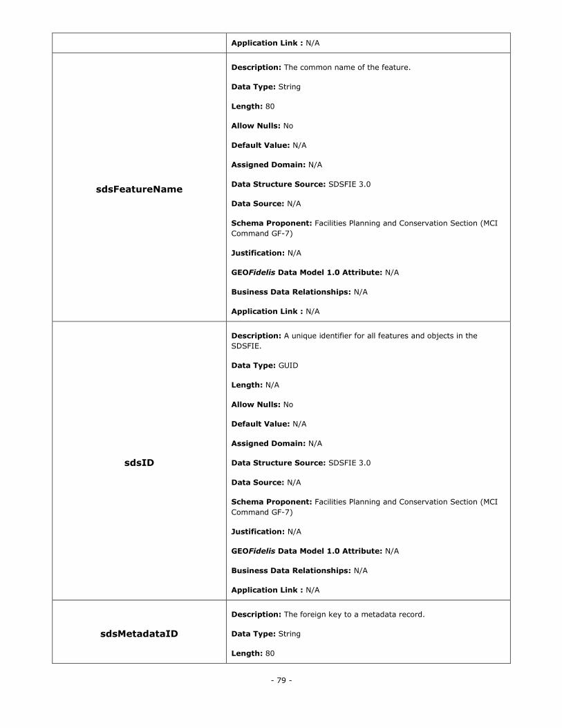
- 79 -
Application Link : N/A
sdsFeatureName
Description: The common name of the feature.
Data Type: String
Length: 80
Allow Nulls: No
Default Value: N/A
Assigned Domain: N/A
Data Structure Source: SDSFIE 3.0
Data Source: N/A
Schema Proponent: Facilities Planning and Conservation Section (MCI
Command GF-7)
Justification: N/A
GEOFidelis Data Model 1.0 Attribute: N/A
Business Data Relationships: N/A
Application Link : N/A
sdsID
Description: A unique identifier for all features and objects in the
SDSFIE.
Data Type: GUID
Length: N/A
Allow Nulls: No
Default Value: N/A
Assigned Domain: N/A
Data Structure Source: SDSFIE 3.0
Data Source: N/A
Schema Proponent: Facilities Planning and Conservation Section (MCI
Command GF-7)
Justification: N/A
GEOFidelis Data Model 1.0 Attribute: N/A
Business Data Relationships: N/A
Application Link : N/A
sdsMetadataID
Description: The foreign key to a metadata record.
Data Type: String
Length: 80
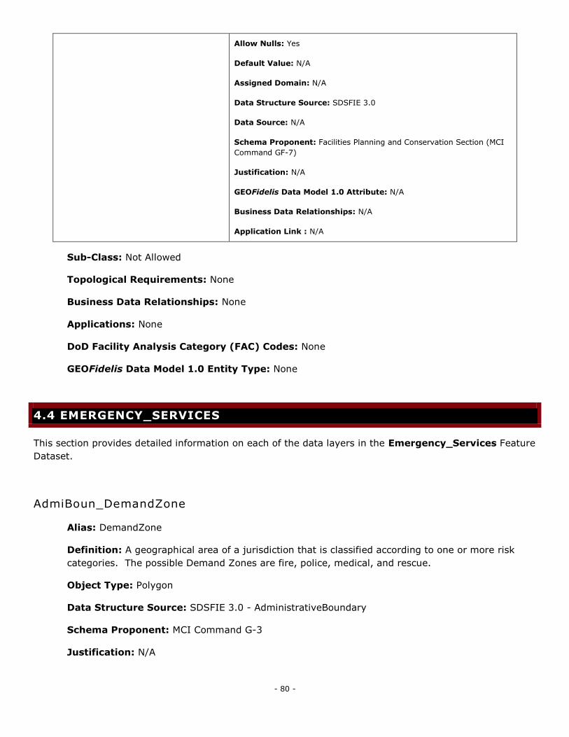
- 80 -
Allow Nulls: Yes
Default Value: N/A
Assigned Domain: N/A
Data Structure Source: SDSFIE 3.0
Data Source: N/A
Schema Proponent: Facilities Planning and Conservation Section (MCI
Command GF-7)
Justification: N/A
GEOFidelis Data Model 1.0 Attribute: N/A
Business Data Relationships: N/A
Application Link : N/A
Sub-Class: Not Allowed
Topological Requirements: None
Business Data Relationships: None
Applications: None
DoD Facility Analysis Category (FAC) Codes: None
GEOFidelis Data Model 1.0 Entity Type: None
4.4 EMERGENCY_SERVICES
This section provides detailed information on each of the data layers in the Emergency_Services Feature
Dataset.
AdmiBoun_DemandZone
Alias: DemandZone
Definition: A geographical area of a jurisdiction that is classified according to one or more risk
categories. The possible Demand Zones are fire, police, medical, and rescue.
Object Type: Polygon
Data Structure Source: SDSFIE 3.0 - AdministrativeBoundary
Schema Proponent: MCI Command G-3
Justification: N/A
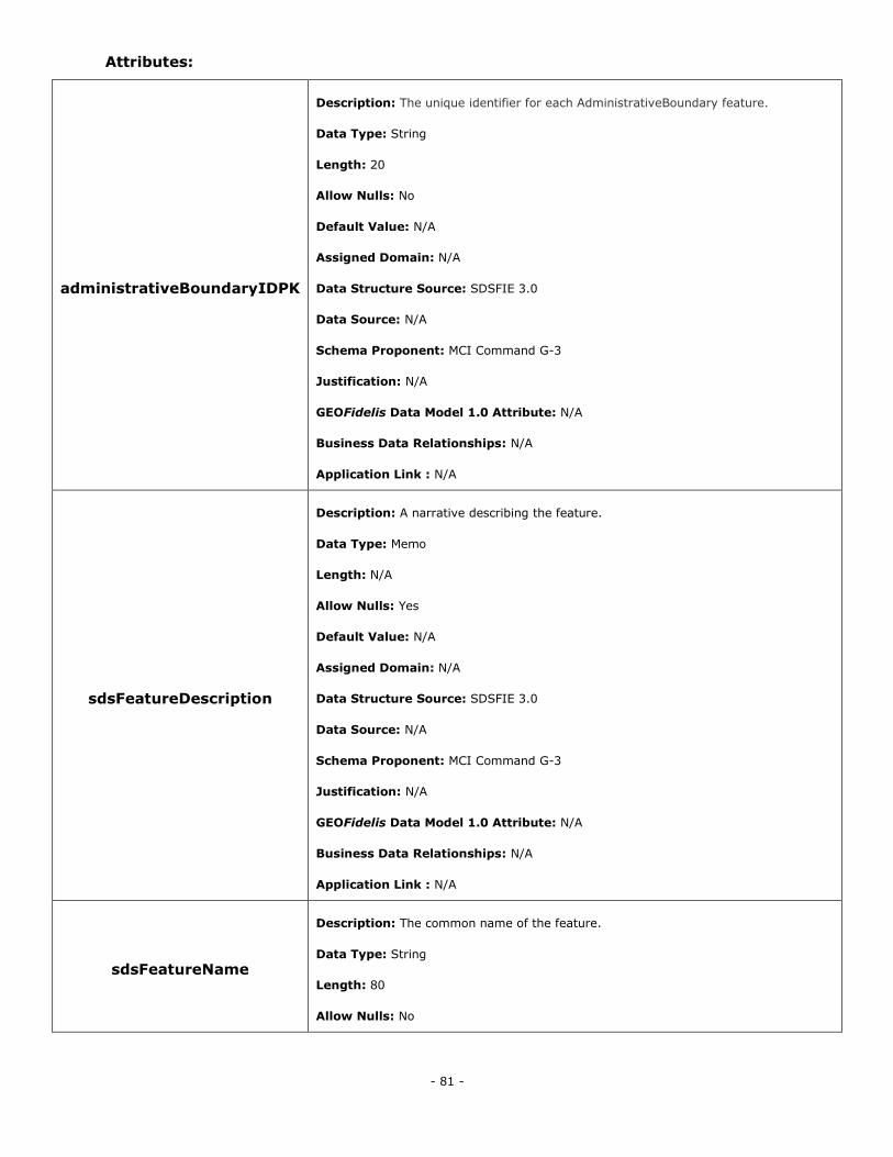
- 81 -
Attributes:
administrativeBoundaryIDPK
Description: The unique identifier for each AdministrativeBoundary feature.
Data Type: String
Length: 20
Allow Nulls: No
Default Value: N/A
Assigned Domain: N/A
Data Structure Source: SDSFIE 3.0
Data Source: N/A
Schema Proponent: MCI Command G-3
Justification: N/A
GEOFidelis Data Model 1.0 Attribute: N/A
Business Data Relationships: N/A
Application Link : N/A
sdsFeatureDescription
Description: A narrative describing the feature.
Data Type: Memo
Length: N/A
Allow Nulls: Yes
Default Value: N/A
Assigned Domain: N/A
Data Structure Source: SDSFIE 3.0
Data Source: N/A
Schema Proponent: MCI Command G-3
Justification: N/A
GEOFidelis Data Model 1.0 Attribute: N/A
Business Data Relationships: N/A
Application Link : N/A
sdsFeatureName
Description: The common name of the feature.
Data Type: String
Length: 80
Allow Nulls: No
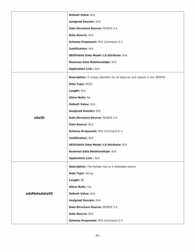
- 82 -
Default Value: N/A
Assigned Domain: N/A
Data Structure Source: SDSFIE 3.0
Data Source: N/A
Schema Proponent: MCI Command G-3
Justification: N/A
GEOFidelis Data Model 1.0 Attribute: N/A
Business Data Relationships: N/A
Application Link : N/A
sdsID
Description: A unique identifier for all features and objects in the SDSFIE.
Data Type: GUID
Length: N/A
Allow Nulls: No
Default Value: N/A
Assigned Domain: N/A
Data Structure Source: SDSFIE 3.0
Data Source: N/A
Schema Proponent: MCI Command G-3
Justification: N/A
GEOFidelis Data Model 1.0 Attribute: N/A
Business Data Relationships: N/A
Application Link : N/A
sdsMetadataID
Description: The foreign key to a metadata record.
Data Type: String
Length: 80
Allow Nulls: Yes
Default Value: N/A
Assigned Domain: N/A
Data Structure Source: SDSFIE 3.0
Data Source: N/A
Schema Proponent: MCI Command G-3
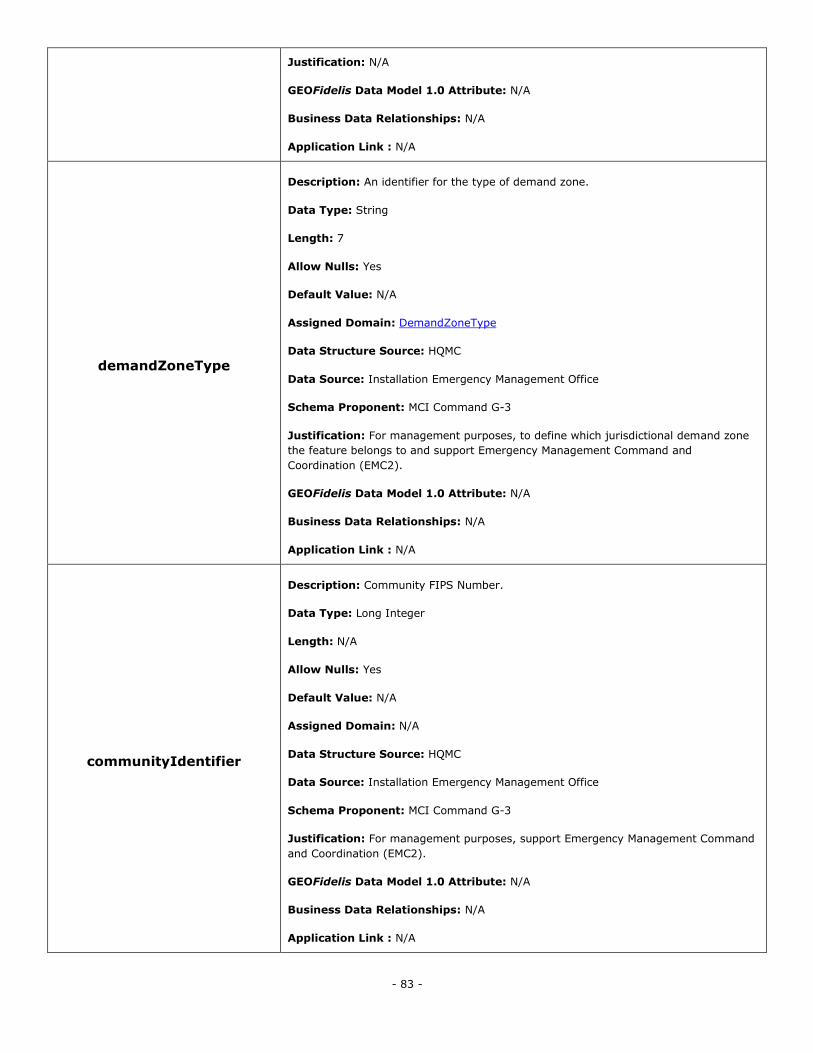
- 83 -
Justification: N/A
GEOFidelis Data Model 1.0 Attribute: N/A
Business Data Relationships: N/A
Application Link : N/A
demandZoneType
Description: An identifier for the type of demand zone.
Data Type: String
Length: 7
Allow Nulls: Yes
Default Value: N/A
Assigned Domain: DemandZoneType
Data Structure Source: HQMC
Data Source: Installation Emergency Management Office
Schema Proponent: MCI Command G-3
Justification: For management purposes, to define which jurisdictional demand zone
the feature belongs to and support Emergency Management Command and
Coordination (EMC2).
GEOFidelis Data Model 1.0 Attribute: N/A
Business Data Relationships: N/A
Application Link : N/A
communityIdentifier
Description: Community FIPS Number.
Data Type: Long Integer
Length: N/A
Allow Nulls: Yes
Default Value: N/A
Assigned Domain: N/A
Data Structure Source: HQMC
Data Source: Installation Emergency Management Office
Schema Proponent: MCI Command G-3
Justification: For management purposes, support Emergency Management Command
and Coordination (EMC2).
GEOFidelis Data Model 1.0 Attribute: N/A
Business Data Relationships: N/A
Application Link : N/A
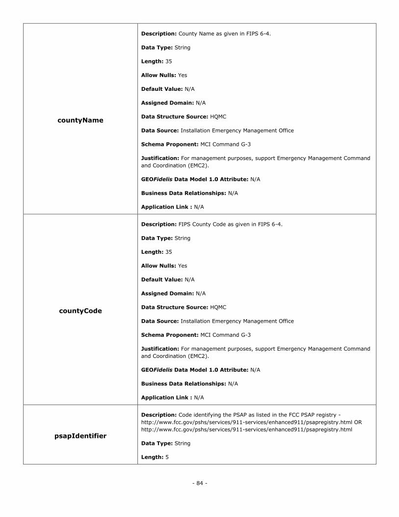
- 84 -
countyName
Description: County Name as given in FIPS 6-4.
Data Type: String
Length: 35
Allow Nulls: Yes
Default Value: N/A
Assigned Domain: N/A
Data Structure Source: HQMC
Data Source: Installation Emergency Management Office
Schema Proponent: MCI Command G-3
Justification: For management purposes, support Emergency Management Command
and Coordination (EMC2).
GEOFidelis Data Model 1.0 Attribute: N/A
Business Data Relationships: N/A
Application Link : N/A
countyCode
Description: FIPS County Code as given in FIPS 6-4.
Data Type: String
Length: 35
Allow Nulls: Yes
Default Value: N/A
Assigned Domain: N/A
Data Structure Source: HQMC
Data Source: Installation Emergency Management Office
Schema Proponent: MCI Command G-3
Justification: For management purposes, support Emergency Management Command
and Coordination (EMC2).
GEOFidelis Data Model 1.0 Attribute: N/A
Business Data Relationships: N/A
Application Link : N/A
psapIdentifier
Description: Code identifying the PSAP as listed in the FCC PSAP registry -
http://www.fcc.gov/pshs/services/911-services/enhanced911/psapregistry.html OR
http://www.fcc.gov/pshs/services/911-services/enhanced911/psapregistry.html
Data Type: String
Length: 5
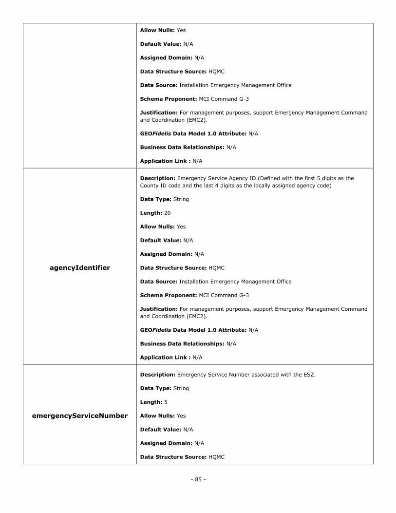
- 85 -
Allow Nulls: Yes
Default Value: N/A
Assigned Domain: N/A
Data Structure Source: HQMC
Data Source: Installation Emergency Management Office
Schema Proponent: MCI Command G-3
Justification: For management purposes, support Emergency Management Command
and Coordination (EMC2).
GEOFidelis Data Model 1.0 Attribute: N/A
Business Data Relationships: N/A
Application Link : N/A
agencyIdentifier
Description: Emergency Service Agency ID (Defined with the first 5 digits as the
County ID code and the last 4 digits as the locally assigned agency code)
Data Type: String
Length: 20
Allow Nulls: Yes
Default Value: N/A
Assigned Domain: N/A
Data Structure Source: HQMC
Data Source: Installation Emergency Management Office
Schema Proponent: MCI Command G-3
Justification: For management purposes, support Emergency Management Command
and Coordination (EMC2).
GEOFidelis Data Model 1.0 Attribute: N/A
Business Data Relationships: N/A
Application Link : N/A
emergencyServiceNumber
Description: Emergency Service Number associated with the ESZ.
Data Type: String
Length: 5
Allow Nulls: Yes
Default Value: N/A
Assigned Domain: N/A
Data Structure Source: HQMC
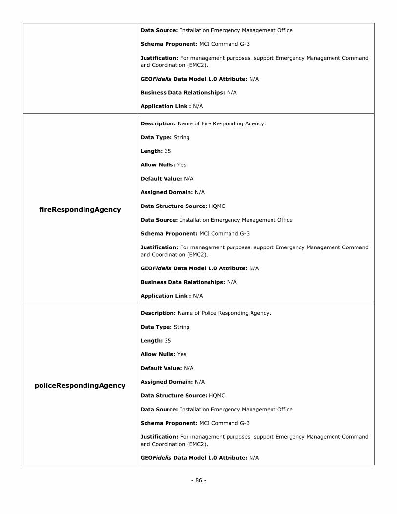
- 86 -
Data Source: Installation Emergency Management Office
Schema Proponent: MCI Command G-3
Justification: For management purposes, support Emergency Management Command
and Coordination (EMC2).
GEOFidelis Data Model 1.0 Attribute: N/A
Business Data Relationships: N/A
Application Link : N/A
fireRespondingAgency
Description: Name of Fire Responding Agency.
Data Type: String
Length: 35
Allow Nulls: Yes
Default Value: N/A
Assigned Domain: N/A
Data Structure Source: HQMC
Data Source: Installation Emergency Management Office
Schema Proponent: MCI Command G-3
Justification: For management purposes, support Emergency Management Command
and Coordination (EMC2).
GEOFidelis Data Model 1.0 Attribute: N/A
Business Data Relationships: N/A
Application Link : N/A
policeRespondingAgency
Description: Name of Police Responding Agency.
Data Type: String
Length: 35
Allow Nulls: Yes
Default Value: N/A
Assigned Domain: N/A
Data Structure Source: HQMC
Data Source: Installation Emergency Management Office
Schema Proponent: MCI Command G-3
Justification: For management purposes, support Emergency Management Command
and Coordination (EMC2).
GEOFidelis Data Model 1.0 Attribute: N/A
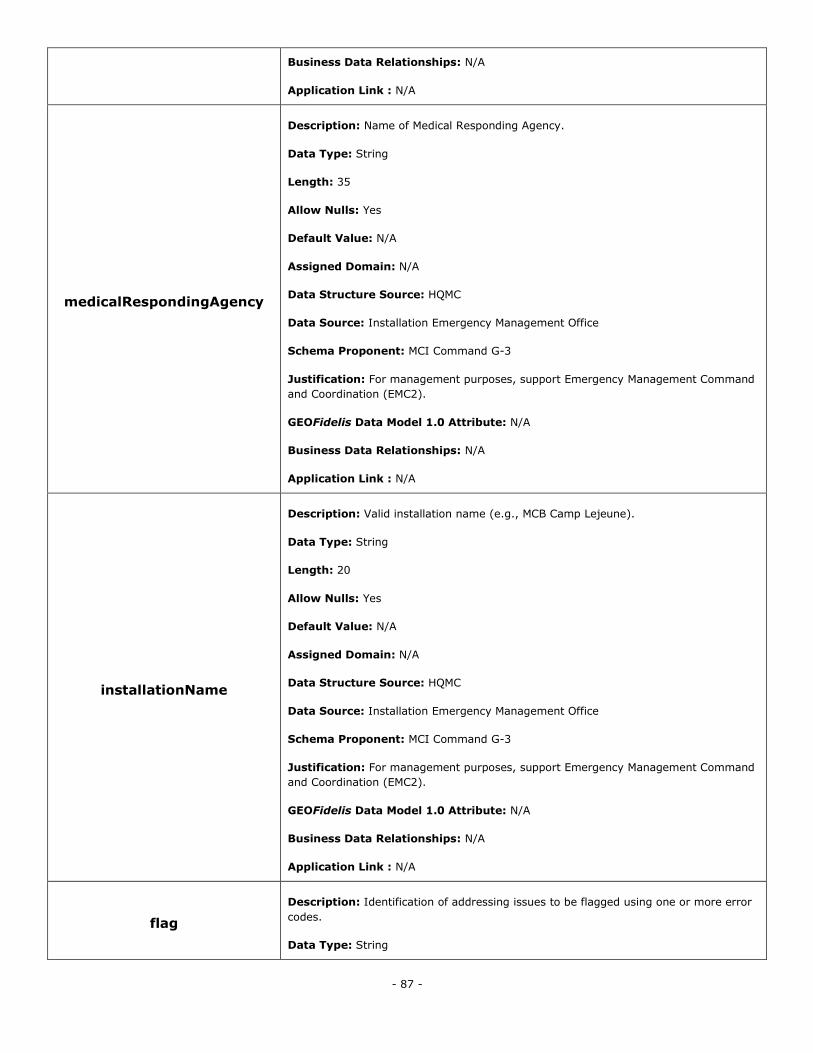
- 87 -
Business Data Relationships: N/A
Application Link : N/A
medicalRespondingAgency
Description: Name of Medical Responding Agency.
Data Type: String
Length: 35
Allow Nulls: Yes
Default Value: N/A
Assigned Domain: N/A
Data Structure Source: HQMC
Data Source: Installation Emergency Management Office
Schema Proponent: MCI Command G-3
Justification: For management purposes, support Emergency Management Command
and Coordination (EMC2).
GEOFidelis Data Model 1.0 Attribute: N/A
Business Data Relationships: N/A
Application Link : N/A
installationName
Description: Valid installation name (e.g., MCB Camp Lejeune).
Data Type: String
Length: 20
Allow Nulls: Yes
Default Value: N/A
Assigned Domain: N/A
Data Structure Source: HQMC
Data Source: Installation Emergency Management Office
Schema Proponent: MCI Command G-3
Justification: For management purposes, support Emergency Management Command
and Coordination (EMC2).
GEOFidelis Data Model 1.0 Attribute: N/A
Business Data Relationships: N/A
Application Link : N/A
flag
Description: Identification of addressing issues to be flagged using one or more error
codes.
Data Type: String
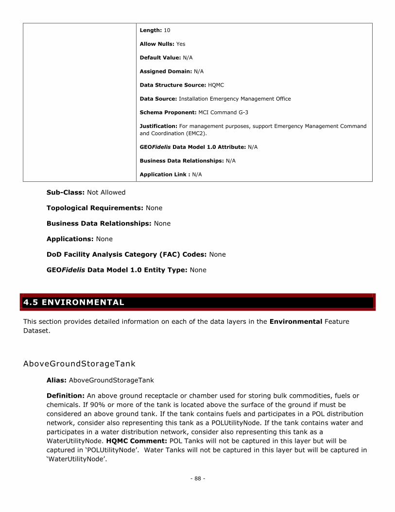
- 88 -
Length: 10
Allow Nulls: Yes
Default Value: N/A
Assigned Domain: N/A
Data Structure Source: HQMC
Data Source: Installation Emergency Management Office
Schema Proponent: MCI Command G-3
Justification: For management purposes, support Emergency Management Command
and Coordination (EMC2).
GEOFidelis Data Model 1.0 Attribute: N/A
Business Data Relationships: N/A
Application Link : N/A
Sub-Class: Not Allowed
Topological Requirements: None
Business Data Relationships: None
Applications: None
DoD Facility Analysis Category (FAC) Codes: None
GEOFidelis Data Model 1.0 Entity Type: None
4.5 ENVIRONMENTAL
This section provides detailed information on each of the data layers in the Environmental Feature
Dataset.
AboveGroundStorageTank
Alias: AboveGroundStorageTank
Definition: An above ground receptacle or chamber used for storing bulk commodities, fuels or
chemicals. If 90% or more of the tank is located above the surface of the ground if must be
considered an above ground tank. If the tank contains fuels and participates in a POL distribution
network, consider also representing this tank as a POLUtilityNode. If the tank contains water and
participates in a water distribution network, consider also representing this tank as a
WaterUtilityNode. HQMC Comment: POL Tanks will not be captured in this layer but will be
captured in ‗POLUtilityNode‘. Water Tanks will not be captured in this layer but will be captured in
‗WaterUtilityNode‘.
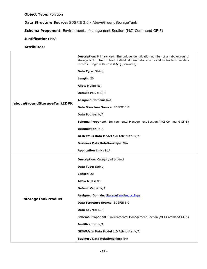
- 89 -
Object Type: Polygon
Data Structure Source: SDSFIE 3.0 - AboveGroundStorageTank
Schema Proponent: Environmental Management Section (MCI Command GF-5)
Justification: N/A
Attributes:
aboveGroundStorageTankIDPK
Description: Primary Key. The unique identification number of an aboveground
storage tank. Used to track individual item data records and to link to other data
records. Begin with envast (e.g., envast2).
Data Type: String
Length: 20
Allow Nulls: No
Default Value: N/A
Assigned Domain: N/A
Data Structure Source: SDSFIE 3.0
Data Source: N/A
Schema Proponent: Environmental Management Section (MCI Command GF-5)
Justification: N/A
GEOFidelis Data Model 1.0 Attribute: N/A
Business Data Relationships: N/A
Application Link : N/A
storageTankProduct
Description: Category of product
Data Type: String
Length: 20
Allow Nulls: No
Default Value: N/A
Assigned Domain: StorageTankProductType
Data Structure Source: SDSFIE 3.0
Data Source: N/A
Schema Proponent: Environmental Management Section (MCI Command GF-5)
Justification: N/A
GEOFidelis Data Model 1.0 Attribute: N/A
Business Data Relationships: N/A
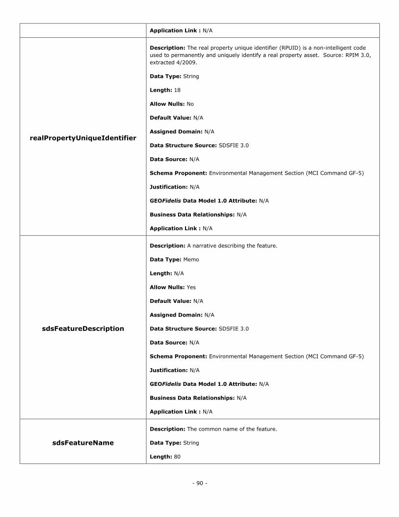
- 90 -
Application Link : N/A
realPropertyUniqueIdentifier
Description: The real property unique identifier (RPUID) is a non-intelligent code
used to permanently and uniquely identify a real property asset. Source: RPIM 3.0,
extracted 4/2009.
Data Type: String
Length: 18
Allow Nulls: No
Default Value: N/A
Assigned Domain: N/A
Data Structure Source: SDSFIE 3.0
Data Source: N/A
Schema Proponent: Environmental Management Section (MCI Command GF-5)
Justification: N/A
GEOFidelis Data Model 1.0 Attribute: N/A
Business Data Relationships: N/A
Application Link : N/A
sdsFeatureDescription
Description: A narrative describing the feature.
Data Type: Memo
Length: N/A
Allow Nulls: Yes
Default Value: N/A
Assigned Domain: N/A
Data Structure Source: SDSFIE 3.0
Data Source: N/A
Schema Proponent: Environmental Management Section (MCI Command GF-5)
Justification: N/A
GEOFidelis Data Model 1.0 Attribute: N/A
Business Data Relationships: N/A
Application Link : N/A
sdsFeatureName
Description: The common name of the feature.
Data Type: String
Length: 80

- 91 -
Allow Nulls: No
Default Value: N/A
Assigned Domain: N/A
Data Structure Source: SDSFIE 3.0
Data Source: N/A
Schema Proponent: Environmental Management Section (MCI Command GF-5)
Justification: N/A
GEOFidelis Data Model 1.0 Attribute: N/A
Business Data Relationships: N/A
Application Link : N/A
sdsID
Description: A unique identifier for all features and objects in the SDSFIE.
Data Type: GUID
Length: N/A
Allow Nulls: No
Default Value: N/A
Assigned Domain: N/A
Data Structure Source: SDSFIE 3.0
Data Source: N/A
Schema Proponent: Environmental Management Section (MCI Command GF-5)
Justification: N/A
GEOFidelis Data Model 1.0 Attribute: N/A
Business Data Relationships: N/A
Application Link : N/A
sdsMetadataID
Description: The foreign key to a metadata record.
Data Type: String
Length: 80
Allow Nulls: Yes
Default Value: N/A
Assigned Domain: N/A
Data Structure Source: SDSFIE 3.0
Data Source: N/A
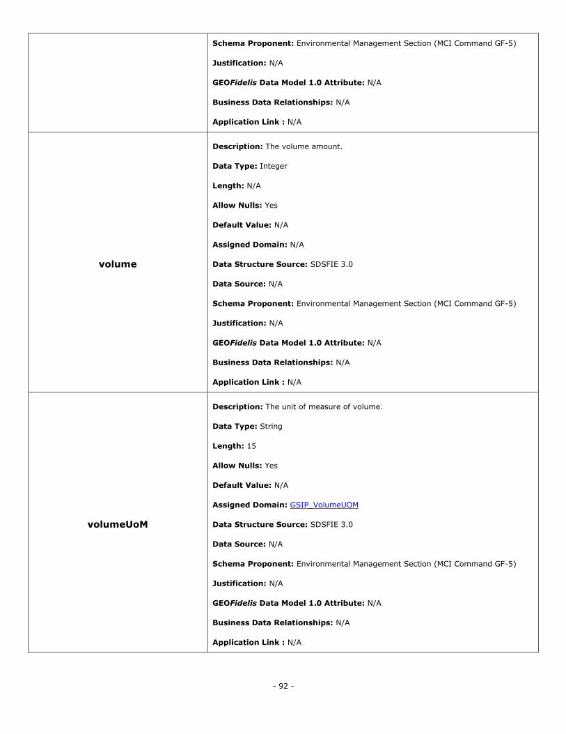
- 92 -
Schema Proponent: Environmental Management Section (MCI Command GF-5)
Justification: N/A
GEOFidelis Data Model 1.0 Attribute: N/A
Business Data Relationships: N/A
Application Link : N/A
volume
Description: The volume amount.
Data Type: Integer
Length: N/A
Allow Nulls: Yes
Default Value: N/A
Assigned Domain: N/A
Data Structure Source: SDSFIE 3.0
Data Source: N/A
Schema Proponent: Environmental Management Section (MCI Command GF-5)
Justification: N/A
GEOFidelis Data Model 1.0 Attribute: N/A
Business Data Relationships: N/A
Application Link : N/A
volumeUoM
Description: The unit of measure of volume.
Data Type: String
Length: 15
Allow Nulls: Yes
Default Value: N/A
Assigned Domain: GSIP_VolumeUOM
Data Structure Source: SDSFIE 3.0
Data Source: N/A
Schema Proponent: Environmental Management Section (MCI Command GF-5)
Justification: N/A
GEOFidelis Data Model 1.0 Attribute: N/A
Business Data Relationships: N/A
Application Link : N/A
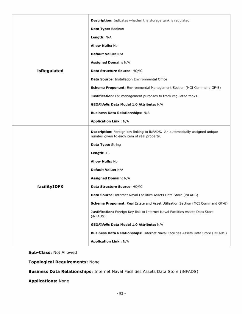
- 93 -
isRegulated
Description: Indicates whether the storage tank is regulated.
Data Type: Boolean
Length: N/A
Allow Nulls: No
Default Value: N/A
Assigned Domain: N/A
Data Structure Source: HQMC
Data Source: Installation Environmental Office
Schema Proponent: Environmental Management Section (MCI Command GF-5)
Justification: For management purposes to track regulated tanks.
GEOFidelis Data Model 1.0 Attribute: N/A
Business Data Relationships: N/A
Application Link : N/A
facilityIDFK
Description: Foreign key linking to iNFADS. An automatically assigned unique
number given to each item of real property.
Data Type: String
Length: 15
Allow Nulls: No
Default Value: N/A
Assigned Domain: N/A
Data Structure Source: HQMC
Data Source: Internet Naval Facilities Assets Data Store (iNFADS)
Schema Proponent: Real Estate and Asset Utilization Section (MCI Command GF-6)
Justification: Foreign Key link to Internet Naval Facilities Assets Data Store
(iNFADS).
GEOFidelis Data Model 1.0 Attribute: N/A
Business Data Relationships: Internet Naval Facilities Assets Data Store (iNFADS)
Application Link : N/A
Sub-Class: Not Allowed
Topological Requirements: None
Business Data Relationships: Internet Naval Facilities Assets Data Store (iNFADS)
Applications: None
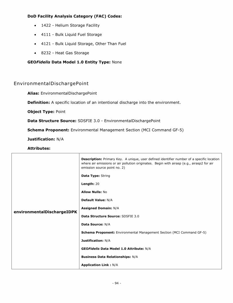
- 94 -
DoD Facility Analysis Category (FAC) Codes:
1422 - Helium Storage Facility
4111 - Bulk Liquid Fuel Storage
4121 - Bulk Liquid Storage, Other Than Fuel
8232 - Heat Gas Storage
GEOFidelis Data Model 1.0 Entity Type: None
EnvironmentalDischargePoint
Alias: EnvironmentalDischargePoint
Definition: A specific location of an intentional discharge into the environment.
Object Type: Point
Data Structure Source: SDSFIE 3.0 - EnvironmentalDischargePoint
Schema Proponent: Environmental Management Section (MCI Command GF-5)
Justification: N/A
Attributes:
environmentalDischargeIDPK
Description: Primary Key. A unique, user defined identifier number of a specific location
where air emissions or air pollution originates. Begin with airasp (e.g., airasp2 for air
emission source point no. 2)
Data Type: String
Length: 20
Allow Nulls: No
Default Value: N/A
Assigned Domain: N/A
Data Structure Source: SDSFIE 3.0
Data Source: N/A
Schema Proponent: Environmental Management Section (MCI Command GF-5)
Justification: N/A
GEOFidelis Data Model 1.0 Attribute: N/A
Business Data Relationships: N/A
Application Link : N/A
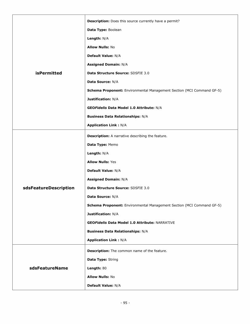
- 95 -
isPermitted
Description: Does this source currently have a permit?
Data Type: Boolean
Length: N/A
Allow Nulls: No
Default Value: N/A
Assigned Domain: N/A
Data Structure Source: SDSFIE 3.0
Data Source: N/A
Schema Proponent: Environmental Management Section (MCI Command GF-5)
Justification: N/A
GEOFidelis Data Model 1.0 Attribute: N/A
Business Data Relationships: N/A
Application Link : N/A
sdsFeatureDescription
Description: A narrative describing the feature.
Data Type: Memo
Length: N/A
Allow Nulls: Yes
Default Value: N/A
Assigned Domain: N/A
Data Structure Source: SDSFIE 3.0
Data Source: N/A
Schema Proponent: Environmental Management Section (MCI Command GF-5)
Justification: N/A
GEOFidelis Data Model 1.0 Attribute: NARRATIVE
Business Data Relationships: N/A
Application Link : N/A
sdsFeatureName
Description: The common name of the feature.
Data Type: String
Length: 80
Allow Nulls: No
Default Value: N/A
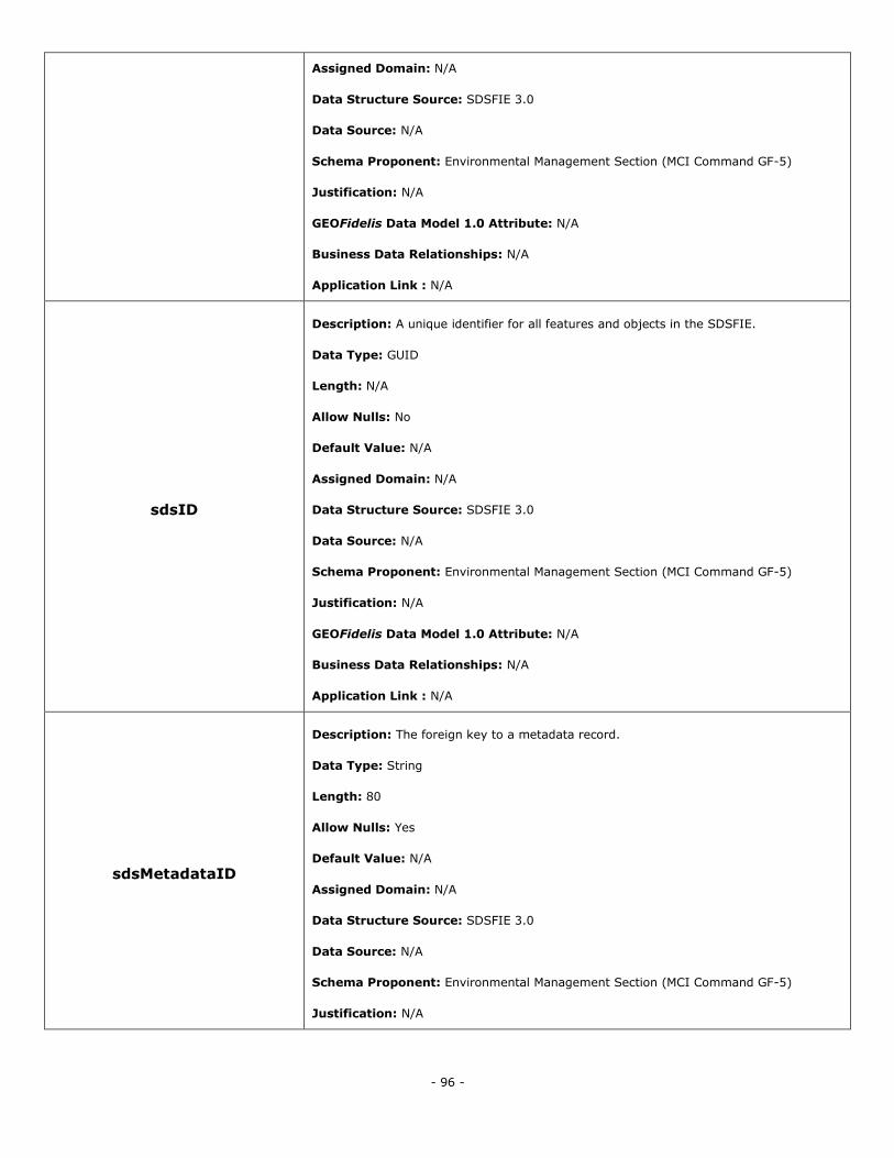
- 96 -
Assigned Domain: N/A
Data Structure Source: SDSFIE 3.0
Data Source: N/A
Schema Proponent: Environmental Management Section (MCI Command GF-5)
Justification: N/A
GEOFidelis Data Model 1.0 Attribute: N/A
Business Data Relationships: N/A
Application Link : N/A
sdsID
Description: A unique identifier for all features and objects in the SDSFIE.
Data Type: GUID
Length: N/A
Allow Nulls: No
Default Value: N/A
Assigned Domain: N/A
Data Structure Source: SDSFIE 3.0
Data Source: N/A
Schema Proponent: Environmental Management Section (MCI Command GF-5)
Justification: N/A
GEOFidelis Data Model 1.0 Attribute: N/A
Business Data Relationships: N/A
Application Link : N/A
sdsMetadataID
Description: The foreign key to a metadata record.
Data Type: String
Length: 80
Allow Nulls: Yes
Default Value: N/A
Assigned Domain: N/A
Data Structure Source: SDSFIE 3.0
Data Source: N/A
Schema Proponent: Environmental Management Section (MCI Command GF-5)
Justification: N/A
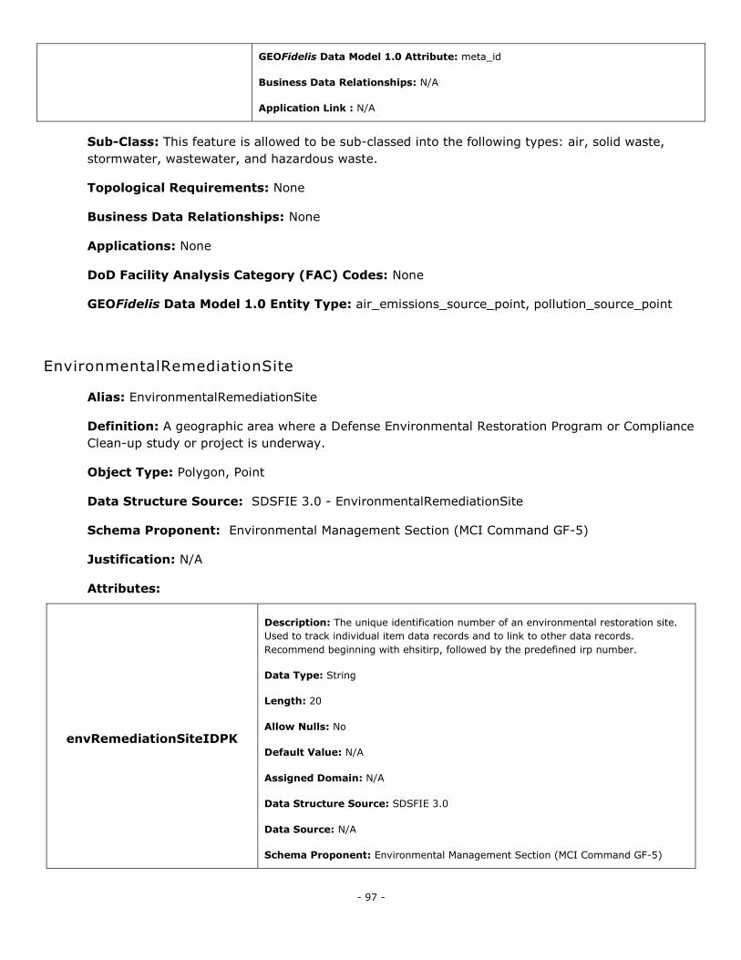
- 97 -
GEOFidelis Data Model 1.0 Attribute: meta_id
Business Data Relationships: N/A
Application Link : N/A
Sub-Class: This feature is allowed to be sub-classed into the following types: air, solid waste,
stormwater, wastewater, and hazardous waste.
Topological Requirements: None
Business Data Relationships: None
Applications: None
DoD Facility Analysis Category (FAC) Codes: None
GEOFidelis Data Model 1.0 Entity Type: air_emissions_source_point, pollution_source_point
EnvironmentalRemediationSite
Alias: EnvironmentalRemediationSite
Definition: A geographic area where a Defense Environmental Restoration Program or Compliance
Clean-up study or project is underway.
Object Type: Polygon, Point
Data Structure Source: SDSFIE 3.0 - EnvironmentalRemediationSite
Schema Proponent: Environmental Management Section (MCI Command GF-5)
Justification: N/A
Attributes:
envRemediationSiteIDPK
Description: The unique identification number of an environmental restoration site.
Used to track individual item data records and to link to other data records.
Recommend beginning with ehsitirp, followed by the predefined irp number.
Data Type: String
Length: 20
Allow Nulls: No
Default Value: N/A
Assigned Domain: N/A
Data Structure Source: SDSFIE 3.0
Data Source: N/A
Schema Proponent: Environmental Management Section (MCI Command GF-5)
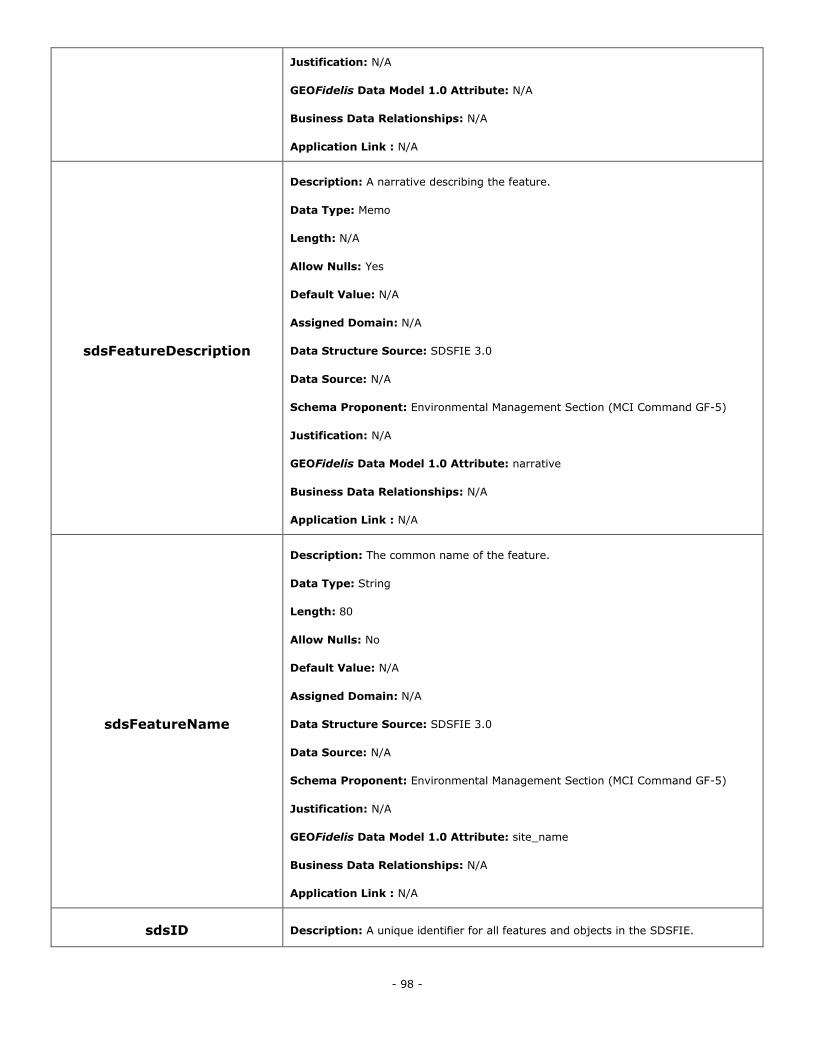
- 98 -
Justification: N/A
GEOFidelis Data Model 1.0 Attribute: N/A
Business Data Relationships: N/A
Application Link : N/A
sdsFeatureDescription
Description: A narrative describing the feature.
Data Type: Memo
Length: N/A
Allow Nulls: Yes
Default Value: N/A
Assigned Domain: N/A
Data Structure Source: SDSFIE 3.0
Data Source: N/A
Schema Proponent: Environmental Management Section (MCI Command GF-5)
Justification: N/A
GEOFidelis Data Model 1.0 Attribute: narrative
Business Data Relationships: N/A
Application Link : N/A
sdsFeatureName
Description: The common name of the feature.
Data Type: String
Length: 80
Allow Nulls: No
Default Value: N/A
Assigned Domain: N/A
Data Structure Source: SDSFIE 3.0
Data Source: N/A
Schema Proponent: Environmental Management Section (MCI Command GF-5)
Justification: N/A
GEOFidelis Data Model 1.0 Attribute: site_name
Business Data Relationships: N/A
Application Link : N/A
sdsID Description: A unique identifier for all features and objects in the SDSFIE.
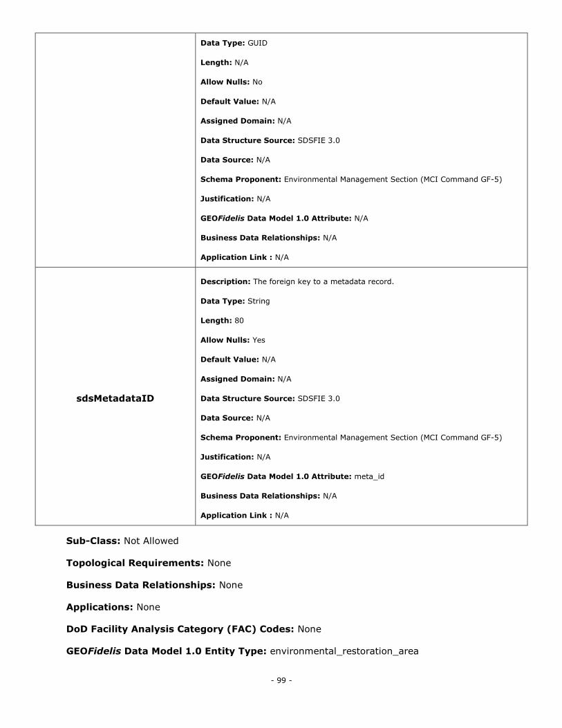
- 99 -
Data Type: GUID
Length: N/A
Allow Nulls: No
Default Value: N/A
Assigned Domain: N/A
Data Structure Source: SDSFIE 3.0
Data Source: N/A
Schema Proponent: Environmental Management Section (MCI Command GF-5)
Justification: N/A
GEOFidelis Data Model 1.0 Attribute: N/A
Business Data Relationships: N/A
Application Link : N/A
sdsMetadataID
Description: The foreign key to a metadata record.
Data Type: String
Length: 80
Allow Nulls: Yes
Default Value: N/A
Assigned Domain: N/A
Data Structure Source: SDSFIE 3.0
Data Source: N/A
Schema Proponent: Environmental Management Section (MCI Command GF-5)
Justification: N/A
GEOFidelis Data Model 1.0 Attribute: meta_id
Business Data Relationships: N/A
Application Link : N/A
Sub-Class: Not Allowed
Topological Requirements: None
Business Data Relationships: None
Applications: None
DoD Facility Analysis Category (FAC) Codes: None
GEOFidelis Data Model 1.0 Entity Type: environmental_restoration_area
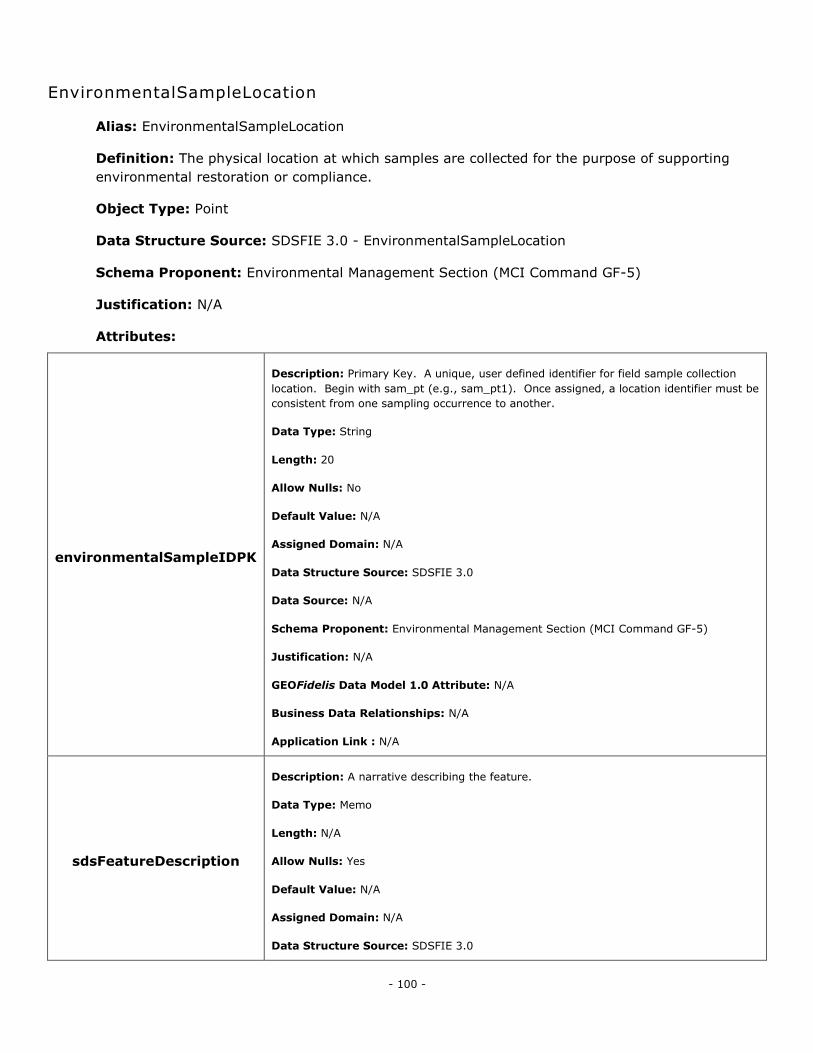
- 100 -
EnvironmentalSampleLocation
Alias: EnvironmentalSampleLocation
Definition: The physical location at which samples are collected for the purpose of supporting
environmental restoration or compliance.
Object Type: Point
Data Structure Source: SDSFIE 3.0 - EnvironmentalSampleLocation
Schema Proponent: Environmental Management Section (MCI Command GF-5)
Justification: N/A
Attributes:
environmentalSampleIDPK
Description: Primary Key. A unique, user defined identifier for field sample collection
location. Begin with sam_pt (e.g., sam_pt1). Once assigned, a location identifier must be
consistent from one sampling occurrence to another.
Data Type: String
Length: 20
Allow Nulls: No
Default Value: N/A
Assigned Domain: N/A
Data Structure Source: SDSFIE 3.0
Data Source: N/A
Schema Proponent: Environmental Management Section (MCI Command GF-5)
Justification: N/A
GEOFidelis Data Model 1.0 Attribute: N/A
Business Data Relationships: N/A
Application Link : N/A
sdsFeatureDescription
Description: A narrative describing the feature.
Data Type: Memo
Length: N/A
Allow Nulls: Yes
Default Value: N/A
Assigned Domain: N/A
Data Structure Source: SDSFIE 3.0
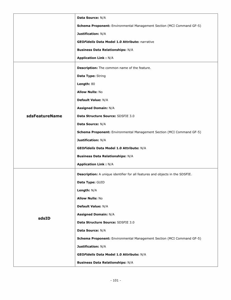
- 101 -
Data Source: N/A
Schema Proponent: Environmental Management Section (MCI Command GF-5)
Justification: N/A
GEOFidelis Data Model 1.0 Attribute: narrative
Business Data Relationships: N/A
Application Link : N/A
sdsFeatureName
Description: The common name of the feature.
Data Type: String
Length: 80
Allow Nulls: No
Default Value: N/A
Assigned Domain: N/A
Data Structure Source: SDSFIE 3.0
Data Source: N/A
Schema Proponent: Environmental Management Section (MCI Command GF-5)
Justification: N/A
GEOFidelis Data Model 1.0 Attribute: N/A
Business Data Relationships: N/A
Application Link : N/A
sdsID
Description: A unique identifier for all features and objects in the SDSFIE.
Data Type: GUID
Length: N/A
Allow Nulls: No
Default Value: N/A
Assigned Domain: N/A
Data Structure Source: SDSFIE 3.0
Data Source: N/A
Schema Proponent: Environmental Management Section (MCI Command GF-5)
Justification: N/A
GEOFidelis Data Model 1.0 Attribute: N/A
Business Data Relationships: N/A
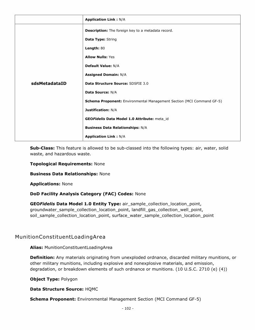
- 102 -
Application Link : N/A
sdsMetadataID
Description: The foreign key to a metadata record.
Data Type: String
Length: 80
Allow Nulls: Yes
Default Value: N/A
Assigned Domain: N/A
Data Structure Source: SDSFIE 3.0
Data Source: N/A
Schema Proponent: Environmental Management Section (MCI Command GF-5)
Justification: N/A
GEOFidelis Data Model 1.0 Attribute: meta_id
Business Data Relationships: N/A
Application Link : N/A
Sub-Class: This feature is allowed to be sub-classed into the following types: air, water, solid
waste, and hazardous waste.
Topological Requirements: None
Business Data Relationships: None
Applications: None
DoD Facility Analysis Category (FAC) Codes: None
GEOFidelis Data Model 1.0 Entity Type: air_sample_collection_location_point,
groundwater_sample_collection_location_point, landfill_gas_collection_well_point,
soil_sample_collection_location_point, surface_water_sample_collection_location_point
MunitionConstituentLoadingArea
Alias: MunitionConstituentLoadingArea
Definition: Any materials originating from unexploded ordnance, discarded military munitions, or
other military munitions, including explosive and nonexplosive materials, and emission,
degradation, or breakdown elements of such ordnance or munitions. (10 U.S.C. 2710 (e) (4))
Object Type: Polygon
Data Structure Source: HQMC
Schema Proponent: Environmental Management Section (MCI Command GF-5)
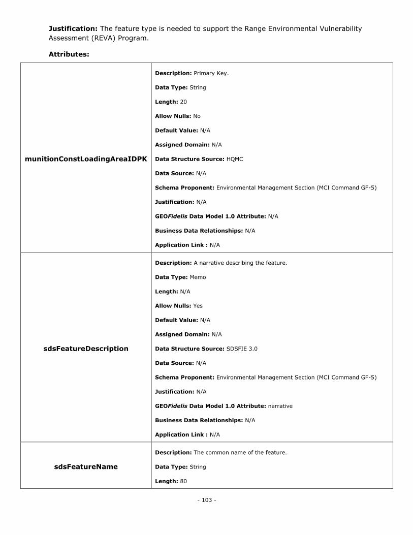
- 103 -
Justification: The feature type is needed to support the Range Environmental Vulnerability
Assessment (REVA) Program.
Attributes:
munitionConstLoadingAreaIDPK
Description: Primary Key.
Data Type: String
Length: 20
Allow Nulls: No
Default Value: N/A
Assigned Domain: N/A
Data Structure Source: HQMC
Data Source: N/A
Schema Proponent: Environmental Management Section (MCI Command GF-5)
Justification: N/A
GEOFidelis Data Model 1.0 Attribute: N/A
Business Data Relationships: N/A
Application Link : N/A
sdsFeatureDescription
Description: A narrative describing the feature.
Data Type: Memo
Length: N/A
Allow Nulls: Yes
Default Value: N/A
Assigned Domain: N/A
Data Structure Source: SDSFIE 3.0
Data Source: N/A
Schema Proponent: Environmental Management Section (MCI Command GF-5)
Justification: N/A
GEOFidelis Data Model 1.0 Attribute: narrative
Business Data Relationships: N/A
Application Link : N/A
sdsFeatureName
Description: The common name of the feature.
Data Type: String
Length: 80
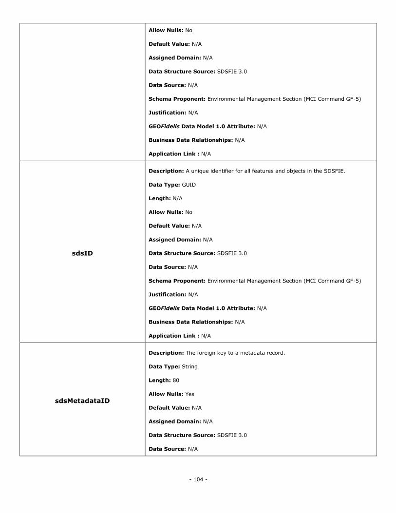
- 104 -
Allow Nulls: No
Default Value: N/A
Assigned Domain: N/A
Data Structure Source: SDSFIE 3.0
Data Source: N/A
Schema Proponent: Environmental Management Section (MCI Command GF-5)
Justification: N/A
GEOFidelis Data Model 1.0 Attribute: N/A
Business Data Relationships: N/A
Application Link : N/A
sdsID
Description: A unique identifier for all features and objects in the SDSFIE.
Data Type: GUID
Length: N/A
Allow Nulls: No
Default Value: N/A
Assigned Domain: N/A
Data Structure Source: SDSFIE 3.0
Data Source: N/A
Schema Proponent: Environmental Management Section (MCI Command GF-5)
Justification: N/A
GEOFidelis Data Model 1.0 Attribute: N/A
Business Data Relationships: N/A
Application Link : N/A
sdsMetadataID
Description: The foreign key to a metadata record.
Data Type: String
Length: 80
Allow Nulls: Yes
Default Value: N/A
Assigned Domain: N/A
Data Structure Source: SDSFIE 3.0
Data Source: N/A
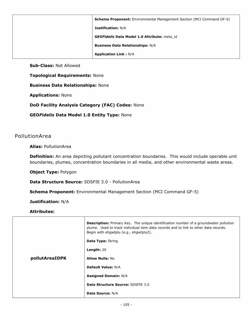
- 105 -
Schema Proponent: Environmental Management Section (MCI Command GF-5)
Justification: N/A
GEOFidelis Data Model 1.0 Attribute: meta_id
Business Data Relationships: N/A
Application Link : N/A
Sub-Class: Not Allowed
Topological Requirements: None
Business Data Relationships: None
Applications: None
DoD Facility Analysis Category (FAC) Codes: None
GEOFidelis Data Model 1.0 Entity Type: None
PollutionArea
Alias: PollutionArea
Definition: An area depicting pollutant concentration boundaries. This would include operable unit
boundaries, plumes, concentration boundaries in all media, and other environmental waste areas.
Object Type: Polygon
Data Structure Source: SDSFIE 3.0 - PollutionArea
Schema Proponent: Environmental Management Section (MCI Command GF-5)
Justification: N/A
Attributes:
pollutAreaIDPK
Description: Primary Key. The unique identification number of a groundwater pollution
plume. Used to track individual item data records and to link to other data records.
Begin with ehgwtplu (e.g., ehgwtplu2).
Data Type: String
Length: 20
Allow Nulls: No
Default Value: N/A
Assigned Domain: N/A
Data Structure Source: SDSFIE 3.0
Data Source: N/A
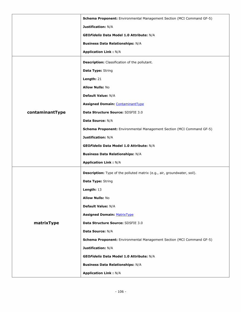
- 106 -
Schema Proponent: Environmental Management Section (MCI Command GF-5)
Justification: N/A
GEOFidelis Data Model 1.0 Attribute: N/A
Business Data Relationships: N/A
Application Link : N/A
contaminantType
Description: Classification of the pollutant.
Data Type: String
Length: 21
Allow Nulls: No
Default Value: N/A
Assigned Domain: ContaminantType
Data Structure Source: SDSFIE 3.0
Data Source: N/A
Schema Proponent: Environmental Management Section (MCI Command GF-5)
Justification: N/A
GEOFidelis Data Model 1.0 Attribute: N/A
Business Data Relationships: N/A
Application Link : N/A
matrixType
Description: Type of the polluted matrix (e.g., air, groundwater, soil).
Data Type: String
Length: 13
Allow Nulls: No
Default Value: N/A
Assigned Domain: MatrixType
Data Structure Source: SDSFIE 3.0
Data Source: N/A
Schema Proponent: Environmental Management Section (MCI Command GF-5)
Justification: N/A
GEOFidelis Data Model 1.0 Attribute: N/A
Business Data Relationships: N/A
Application Link : N/A
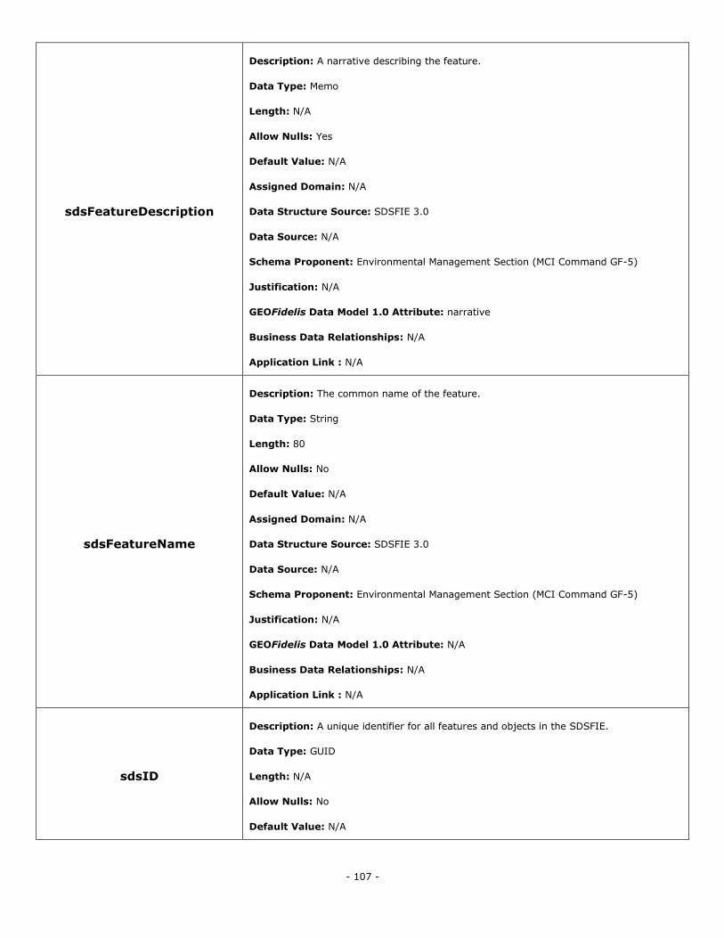
- 107 -
sdsFeatureDescription
Description: A narrative describing the feature.
Data Type: Memo
Length: N/A
Allow Nulls: Yes
Default Value: N/A
Assigned Domain: N/A
Data Structure Source: SDSFIE 3.0
Data Source: N/A
Schema Proponent: Environmental Management Section (MCI Command GF-5)
Justification: N/A
GEOFidelis Data Model 1.0 Attribute: narrative
Business Data Relationships: N/A
Application Link : N/A
sdsFeatureName
Description: The common name of the feature.
Data Type: String
Length: 80
Allow Nulls: No
Default Value: N/A
Assigned Domain: N/A
Data Structure Source: SDSFIE 3.0
Data Source: N/A
Schema Proponent: Environmental Management Section (MCI Command GF-5)
Justification: N/A
GEOFidelis Data Model 1.0 Attribute: N/A
Business Data Relationships: N/A
Application Link : N/A
sdsID
Description: A unique identifier for all features and objects in the SDSFIE.
Data Type: GUID
Length: N/A
Allow Nulls: No
Default Value: N/A
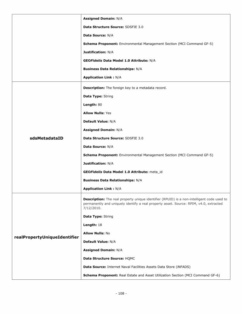
- 108 -
Assigned Domain: N/A
Data Structure Source: SDSFIE 3.0
Data Source: N/A
Schema Proponent: Environmental Management Section (MCI Command GF-5)
Justification: N/A
GEOFidelis Data Model 1.0 Attribute: N/A
Business Data Relationships: N/A
Application Link : N/A
sdsMetadataID
Description: The foreign key to a metadata record.
Data Type: String
Length: 80
Allow Nulls: Yes
Default Value: N/A
Assigned Domain: N/A
Data Structure Source: SDSFIE 3.0
Data Source: N/A
Schema Proponent: Environmental Management Section (MCI Command GF-5)
Justification: N/A
GEOFidelis Data Model 1.0 Attribute: meta_id
Business Data Relationships: N/A
Application Link : N/A
realPropertyUniqueIdentifier
Description: The real property unique identifier (RPUID) is a non-intelligent code used to
permanently and uniquely identify a real property asset. Source: RPIM, v4.0, extracted
7/12/2010.
Data Type: String
Length: 18
Allow Nulls: No
Default Value: N/A
Assigned Domain: N/A
Data Structure Source: HQMC
Data Source: Internet Naval Facilities Assets Data Store (iNFADS)
Schema Proponent: Real Estate and Asset Utilization Section (MCI Command GF-6)
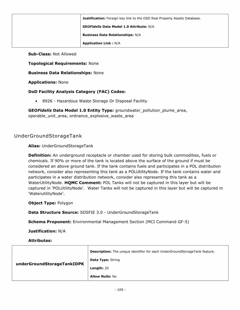
- 109 -
Justification: Foreign key link to the OSD Real Property Assets Database.
GEOFidelis Data Model 1.0 Attribute: N/A
Business Data Relationships: N/A
Application Link : N/A
Sub-Class: Not Allowed
Topological Requirements: None
Business Data Relationships: None
Applications: None
DoD Facility Analysis Category (FAC) Codes:
8926 - Hazardous Waste Storage Or Disposal Facility
GEOFidelis Data Model 1.0 Entity Type: groundwater_pollution_plume_area,
operable_unit_area, ordnance_explosive_waste_area
UnderGroundStorageTank
Alias: UnderGroundStorageTank
Definition: An underground receptacle or chamber used for storing bulk commodities, fuels or
chemicals. If 90% or more of the tank is located above the surface of the ground if must be
considered an above ground tank. If the tank contains fuels and participates in a POL distribution
network, consider also representing this tank as a POLUtilityNode. If the tank contains water and
participates in a water distribution network, consider also representing this tank as a
WaterUtilityNode. HQMC Comment: POL Tanks will not be captured in this layer but will be
captured in ‗POLUtilityNode‘. Water Tanks will not be captured in this layer but will be captured in
‗WaterutilityNode‘.
Object Type: Polygon
Data Structure Source: SDSFIE 3.0 - UnderGroundStorageTank
Schema Proponent: Environmental Management Section (MCI Command GF-5)
Justification: N/A
Attributes:
underGroundStorageTankIDPK
Description: The unique identifier for each UnderGroundStorageTank feature.
Data Type: String
Length: 20
Allow Nulls: No
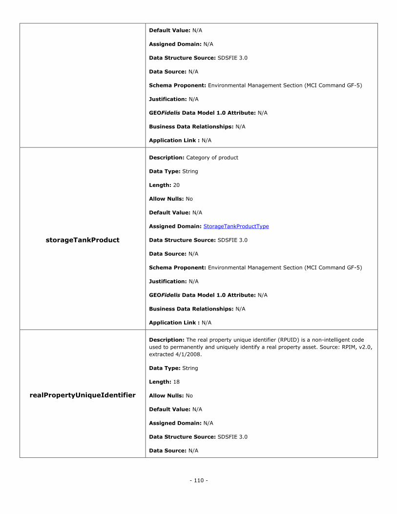
- 110 -
Default Value: N/A
Assigned Domain: N/A
Data Structure Source: SDSFIE 3.0
Data Source: N/A
Schema Proponent: Environmental Management Section (MCI Command GF-5)
Justification: N/A
GEOFidelis Data Model 1.0 Attribute: N/A
Business Data Relationships: N/A
Application Link : N/A
storageTankProduct
Description: Category of product
Data Type: String
Length: 20
Allow Nulls: No
Default Value: N/A
Assigned Domain: StorageTankProductType
Data Structure Source: SDSFIE 3.0
Data Source: N/A
Schema Proponent: Environmental Management Section (MCI Command GF-5)
Justification: N/A
GEOFidelis Data Model 1.0 Attribute: N/A
Business Data Relationships: N/A
Application Link : N/A
realPropertyUniqueIdentifier
Description: The real property unique identifier (RPUID) is a non-intelligent code
used to permanently and uniquely identify a real property asset. Source: RPIM, v2.0,
extracted 4/1/2008.
Data Type: String
Length: 18
Allow Nulls: No
Default Value: N/A
Assigned Domain: N/A
Data Structure Source: SDSFIE 3.0
Data Source: N/A
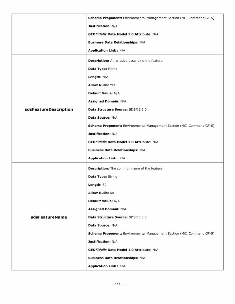
- 111 -
Schema Proponent: Environmental Management Section (MCI Command GF-5)
Justification: N/A
GEOFidelis Data Model 1.0 Attribute: N/A
Business Data Relationships: N/A
Application Link : N/A
sdsFeatureDescription
Description: A narrative describing the feature.
Data Type: Memo
Length: N/A
Allow Nulls: Yes
Default Value: N/A
Assigned Domain: N/A
Data Structure Source: SDSFIE 3.0
Data Source: N/A
Schema Proponent: Environmental Management Section (MCI Command GF-5)
Justification: N/A
GEOFidelis Data Model 1.0 Attribute: N/A
Business Data Relationships: N/A
Application Link : N/A
sdsFeatureName
Description: The common name of the feature.
Data Type: String
Length: 80
Allow Nulls: No
Default Value: N/A
Assigned Domain: N/A
Data Structure Source: SDSFIE 3.0
Data Source: N/A
Schema Proponent: Environmental Management Section (MCI Command GF-5)
Justification: N/A
GEOFidelis Data Model 1.0 Attribute: N/A
Business Data Relationships: N/A
Application Link : N/A
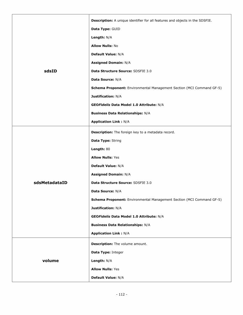
- 112 -
sdsID
Description: A unique identifier for all features and objects in the SDSFIE.
Data Type: GUID
Length: N/A
Allow Nulls: No
Default Value: N/A
Assigned Domain: N/A
Data Structure Source: SDSFIE 3.0
Data Source: N/A
Schema Proponent: Environmental Management Section (MCI Command GF-5)
Justification: N/A
GEOFidelis Data Model 1.0 Attribute: N/A
Business Data Relationships: N/A
Application Link : N/A
sdsMetadataID
Description: The foreign key to a metadata record.
Data Type: String
Length: 80
Allow Nulls: Yes
Default Value: N/A
Assigned Domain: N/A
Data Structure Source: SDSFIE 3.0
Data Source: N/A
Schema Proponent: Environmental Management Section (MCI Command GF-5)
Justification: N/A
GEOFidelis Data Model 1.0 Attribute: N/A
Business Data Relationships: N/A
Application Link : N/A
volume
Description: The volume amount.
Data Type: Integer
Length: N/A
Allow Nulls: Yes
Default Value: N/A
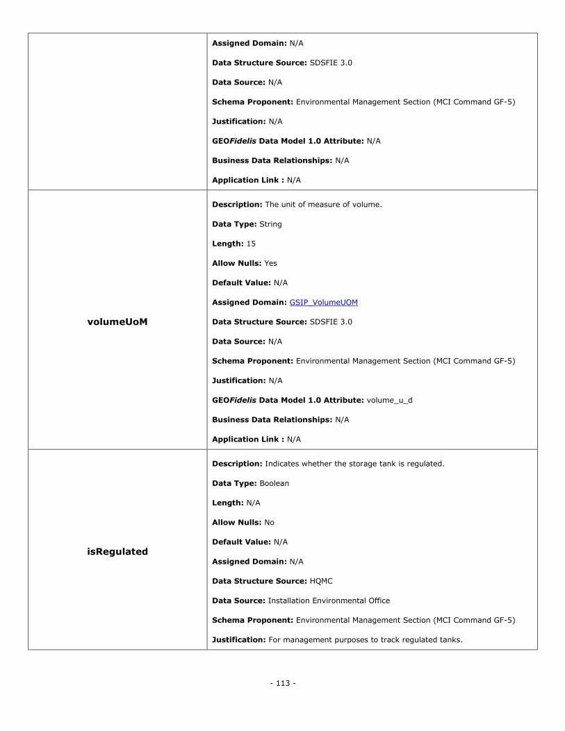
- 113 -
Assigned Domain: N/A
Data Structure Source: SDSFIE 3.0
Data Source: N/A
Schema Proponent: Environmental Management Section (MCI Command GF-5)
Justification: N/A
GEOFidelis Data Model 1.0 Attribute: N/A
Business Data Relationships: N/A
Application Link : N/A
volumeUoM
Description: The unit of measure of volume.
Data Type: String
Length: 15
Allow Nulls: Yes
Default Value: N/A
Assigned Domain: GSIP_VolumeUOM
Data Structure Source: SDSFIE 3.0
Data Source: N/A
Schema Proponent: Environmental Management Section (MCI Command GF-5)
Justification: N/A
GEOFidelis Data Model 1.0 Attribute: volume_u_d
Business Data Relationships: N/A
Application Link : N/A
isRegulated
Description: Indicates whether the storage tank is regulated.
Data Type: Boolean
Length: N/A
Allow Nulls: No
Default Value: N/A
Assigned Domain: N/A
Data Structure Source: HQMC
Data Source: Installation Environmental Office
Schema Proponent: Environmental Management Section (MCI Command GF-5)
Justification: For management purposes to track regulated tanks.
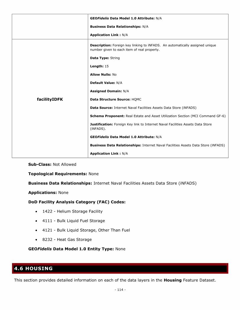
- 114 -
GEOFidelis Data Model 1.0 Attribute: N/A
Business Data Relationships: N/A
Application Link : N/A
facilityIDFK
Description: Foreign key linking to iNFADS. An automatically assigned unique
number given to each item of real property.
Data Type: String
Length: 15
Allow Nulls: No
Default Value: N/A
Assigned Domain: N/A
Data Structure Source: HQMC
Data Source: Internet Naval Facilities Assets Data Store (iNFADS)
Schema Proponent: Real Estate and Asset Utilization Section (MCI Command GF-6)
Justification: Foreign Key link to Internet Naval Facilities Assets Data Store
(iNFADS).
GEOFidelis Data Model 1.0 Attribute: N/A
Business Data Relationships: Internet Naval Facilities Assets Data Store (iNFADS)
Application Link : N/A
Sub-Class: Not Allowed
Topological Requirements: None
Business Data Relationships: Internet Naval Facilities Assets Data Store (iNFADS)
Applications: None
DoD Facility Analysis Category (FAC) Codes:
1422 - Helium Storage Facility
4111 - Bulk Liquid Fuel Storage
4121 - Bulk Liquid Storage, Other Than Fuel
8232 - Heat Gas Storage
GEOFidelis Data Model 1.0 Entity Type: None
4.6 HOUSING
This section provides detailed information on each of the data layers in the Housing Feature Dataset.
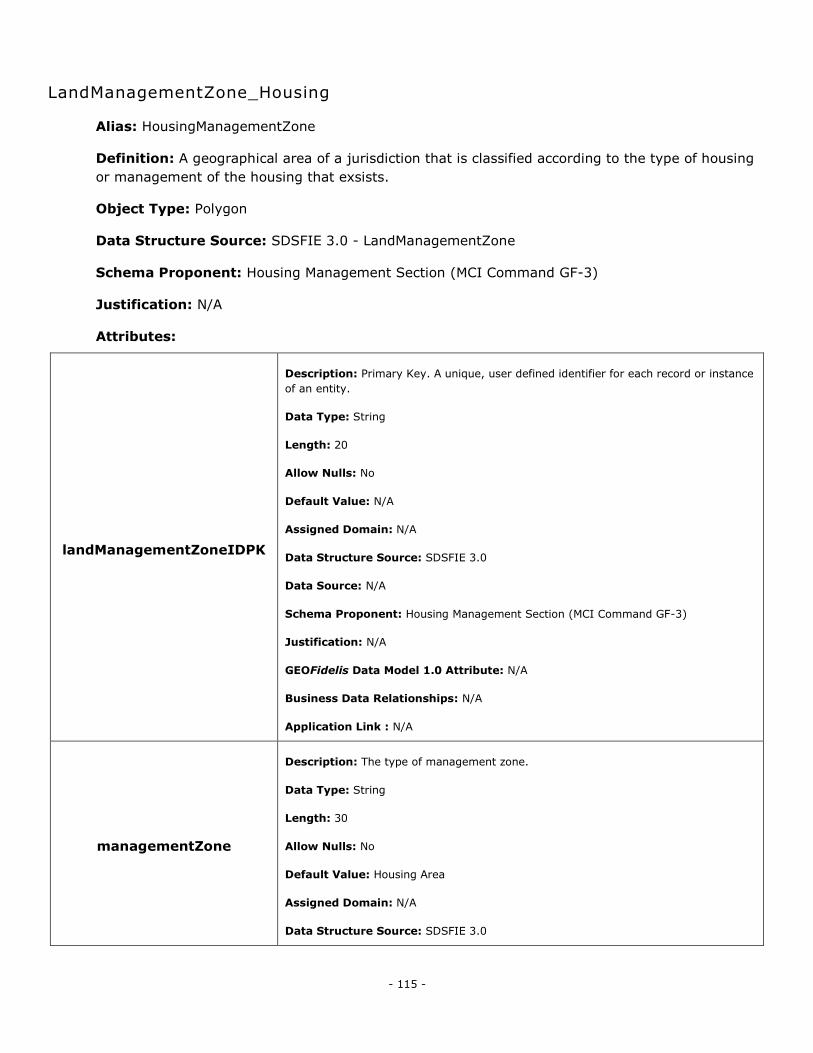
- 115 -
LandManagementZone_Housing
Alias: HousingManagementZone
Definition: A geographical area of a jurisdiction that is classified according to the type of housing
or management of the housing that exsists.
Object Type: Polygon
Data Structure Source: SDSFIE 3.0 - LandManagementZone
Schema Proponent: Housing Management Section (MCI Command GF-3)
Justification: N/A
Attributes:
landManagementZoneIDPK
Description: Primary Key. A unique, user defined identifier for each record or instance
of an entity.
Data Type: String
Length: 20
Allow Nulls: No
Default Value: N/A
Assigned Domain: N/A
Data Structure Source: SDSFIE 3.0
Data Source: N/A
Schema Proponent: Housing Management Section (MCI Command GF-3)
Justification: N/A
GEOFidelis Data Model 1.0 Attribute: N/A
Business Data Relationships: N/A
Application Link : N/A
managementZone
Description: The type of management zone.
Data Type: String
Length: 30
Allow Nulls: No
Default Value: Housing Area
Assigned Domain: N/A
Data Structure Source: SDSFIE 3.0
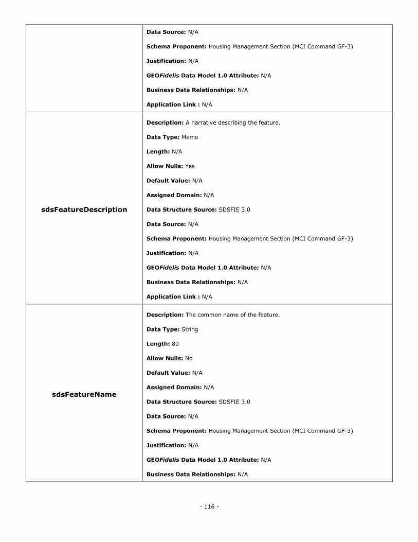
- 116 -
Data Source: N/A
Schema Proponent: Housing Management Section (MCI Command GF-3)
Justification: N/A
GEOFidelis Data Model 1.0 Attribute: N/A
Business Data Relationships: N/A
Application Link : N/A
sdsFeatureDescription
Description: A narrative describing the feature.
Data Type: Memo
Length: N/A
Allow Nulls: Yes
Default Value: N/A
Assigned Domain: N/A
Data Structure Source: SDSFIE 3.0
Data Source: N/A
Schema Proponent: Housing Management Section (MCI Command GF-3)
Justification: N/A
GEOFidelis Data Model 1.0 Attribute: N/A
Business Data Relationships: N/A
Application Link : N/A
sdsFeatureName
Description: The common name of the feature.
Data Type: String
Length: 80
Allow Nulls: No
Default Value: N/A
Assigned Domain: N/A
Data Structure Source: SDSFIE 3.0
Data Source: N/A
Schema Proponent: Housing Management Section (MCI Command GF-3)
Justification: N/A
GEOFidelis Data Model 1.0 Attribute: N/A
Business Data Relationships: N/A
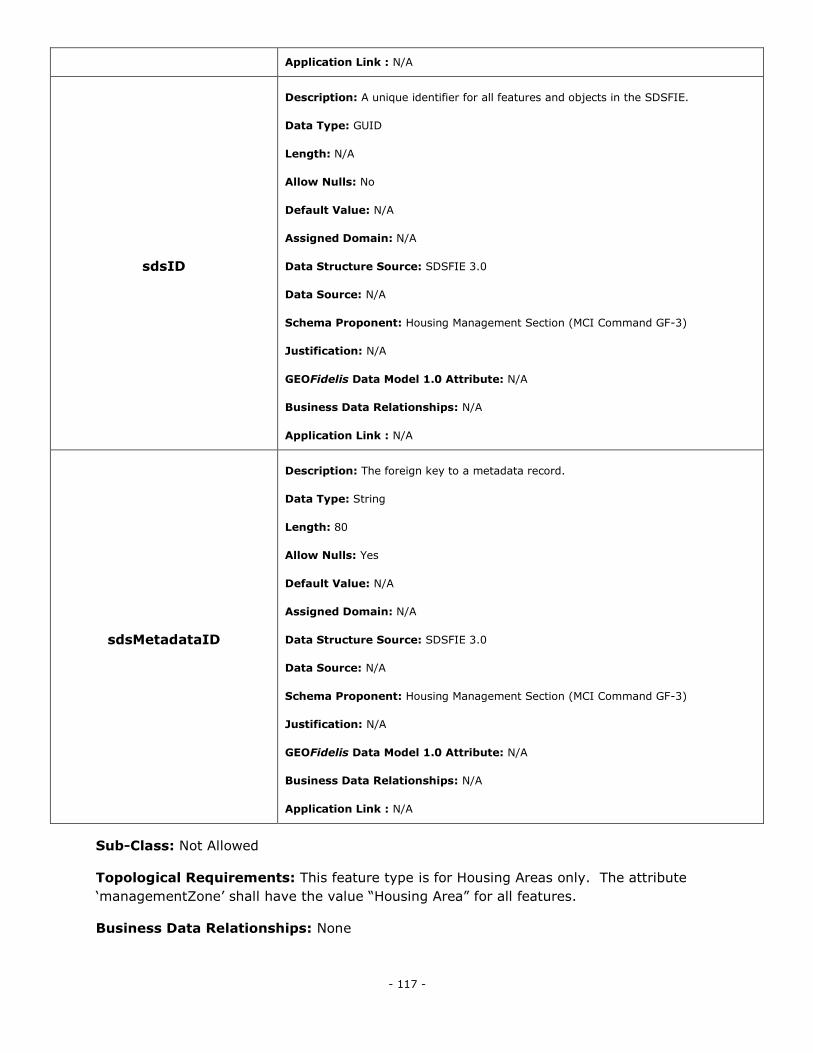
- 117 -
Application Link : N/A
sdsID
Description: A unique identifier for all features and objects in the SDSFIE.
Data Type: GUID
Length: N/A
Allow Nulls: No
Default Value: N/A
Assigned Domain: N/A
Data Structure Source: SDSFIE 3.0
Data Source: N/A
Schema Proponent: Housing Management Section (MCI Command GF-3)
Justification: N/A
GEOFidelis Data Model 1.0 Attribute: N/A
Business Data Relationships: N/A
Application Link : N/A
sdsMetadataID
Description: The foreign key to a metadata record.
Data Type: String
Length: 80
Allow Nulls: Yes
Default Value: N/A
Assigned Domain: N/A
Data Structure Source: SDSFIE 3.0
Data Source: N/A
Schema Proponent: Housing Management Section (MCI Command GF-3)
Justification: N/A
GEOFidelis Data Model 1.0 Attribute: N/A
Business Data Relationships: N/A
Application Link : N/A
Sub-Class: Not Allowed
Topological Requirements: This feature type is for Housing Areas only. The attribute
‗managementZone‘ shall have the value ―Housing Area‖ for all features.
Business Data Relationships: None
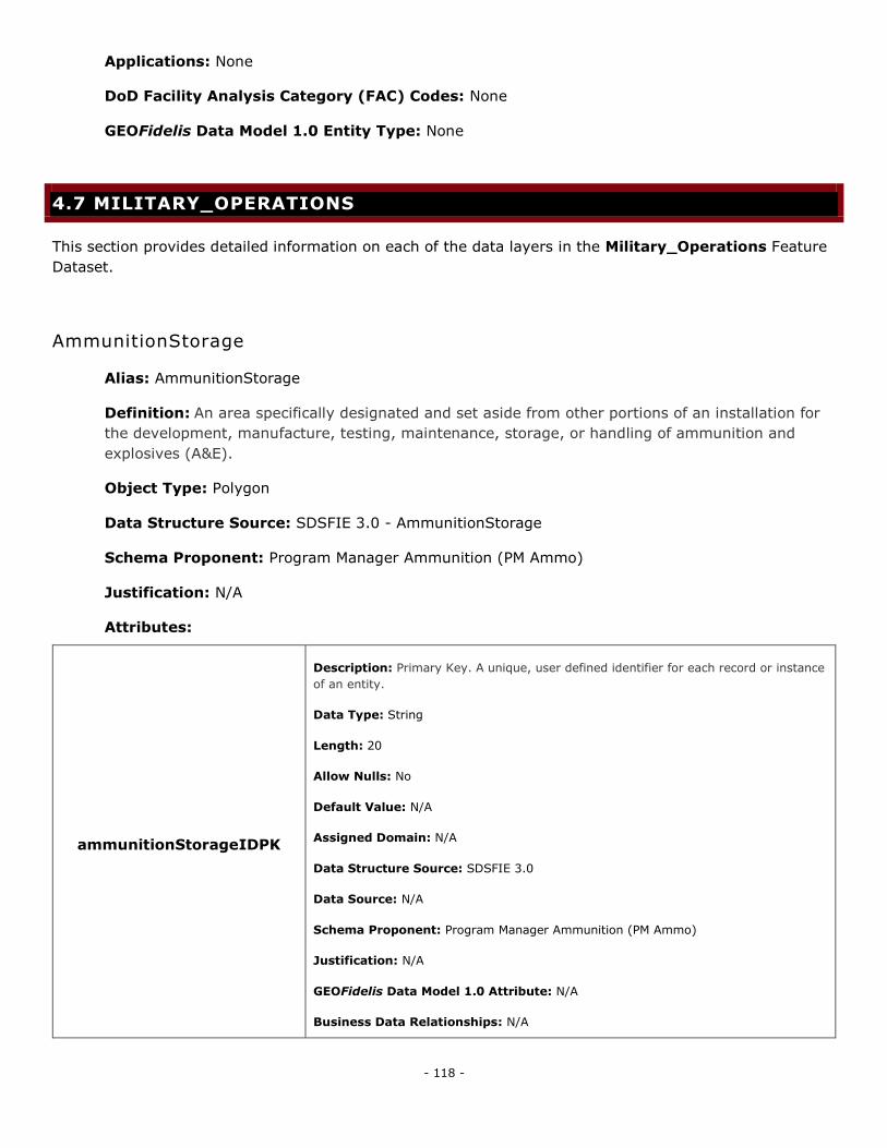
- 118 -
Applications: None
DoD Facility Analysis Category (FAC) Codes: None
GEOFidelis Data Model 1.0 Entity Type: None
4.7 MILITARY_OPERATIONS
This section provides detailed information on each of the data layers in the Military_Operations Feature
Dataset.
AmmunitionStorage
Alias: AmmunitionStorage
Definition: An area specifically designated and set aside from other portions of an installation for
the development, manufacture, testing, maintenance, storage, or handling of ammunition and
explosives (A&E).
Object Type: Polygon
Data Structure Source: SDSFIE 3.0 - AmmunitionStorage
Schema Proponent: Program Manager Ammunition (PM Ammo)
Justification: N/A
Attributes:
ammunitionStorageIDPK
Description: Primary Key. A unique, user defined identifier for each record or instance
of an entity.
Data Type: String
Length: 20
Allow Nulls: No
Default Value: N/A
Assigned Domain: N/A
Data Structure Source: SDSFIE 3.0
Data Source: N/A
Schema Proponent: Program Manager Ammunition (PM Ammo)
Justification: N/A
GEOFidelis Data Model 1.0 Attribute: N/A
Business Data Relationships: N/A

- 119 -
Application Link : N/A
sdsFeatureDescription
Description: A narrative describing the feature.
Data Type: Memo
Length: N/A
Allow Nulls: Yes
Default Value: N/A
Assigned Domain: N/A
Data Structure Source: SDSFIE 3.0
Data Source: N/A
Schema Proponent: Program Manager Ammunition (PM Ammo)
Justification: N/A
GEOFidelis Data Model 1.0 Attribute: STOR_DESC
Business Data Relationships: N/A
Application Link : N/A
sdsFeatureName
Description: The common name of the feature.
Data Type: String
Length: 80
Allow Nulls: Yes
Default Value: N/A
Assigned Domain: N/A
Data Structure Source: SDSFIE 3.0
Data Source: N/A
Schema Proponent: Program Manager Ammunition (PM Ammo)
Justification: N/A
GEOFidelis Data Model 1.0 Attribute: N/A
Business Data Relationships: N/A
Application Link : N/A
sdsID
Description: A unique identifier for all features and objects in the SDSFIE.
Data Type: GUID
Length: N/A
Allow Nulls: No

- 120 -
Default Value: N/A
Assigned Domain: N/A
Data Structure Source: SDSFIE 3.0
Data Source: N/A
Schema Proponent: Program Manager Ammunition (PM Ammo)
Justification: N/A
GEOFidelis Data Model 1.0 Attribute: N/A
Business Data Relationships: N/A
Application Link : N/A
sdsMetadataID
Description: The foreign key to a metadata record.
Data Type: String
Length: 80
Allow Nulls: Yes
Default Value: N/A
Assigned Domain: N/A
Data Structure Source: SDSFIE 3.0
Data Source: N/A
Schema Proponent: Program Manager Ammunition (PM Ammo)
Justification: N/A
GEOFidelis Data Model 1.0 Attribute: META_ID
Business Data Relationships: N/A
Application Link : N/A
facilityNumber
Description: A locally developed asset identification that is normally visible, either
painted or by signage on the exterior of a real property facility, used for visual
identification of the facility.
Data Type: String
Length: 10
Allow Nulls: No
Default Value: N/A
Assigned Domain: N/A
Data Structure Source: SDSFIE 3.0
Data Source: N/A
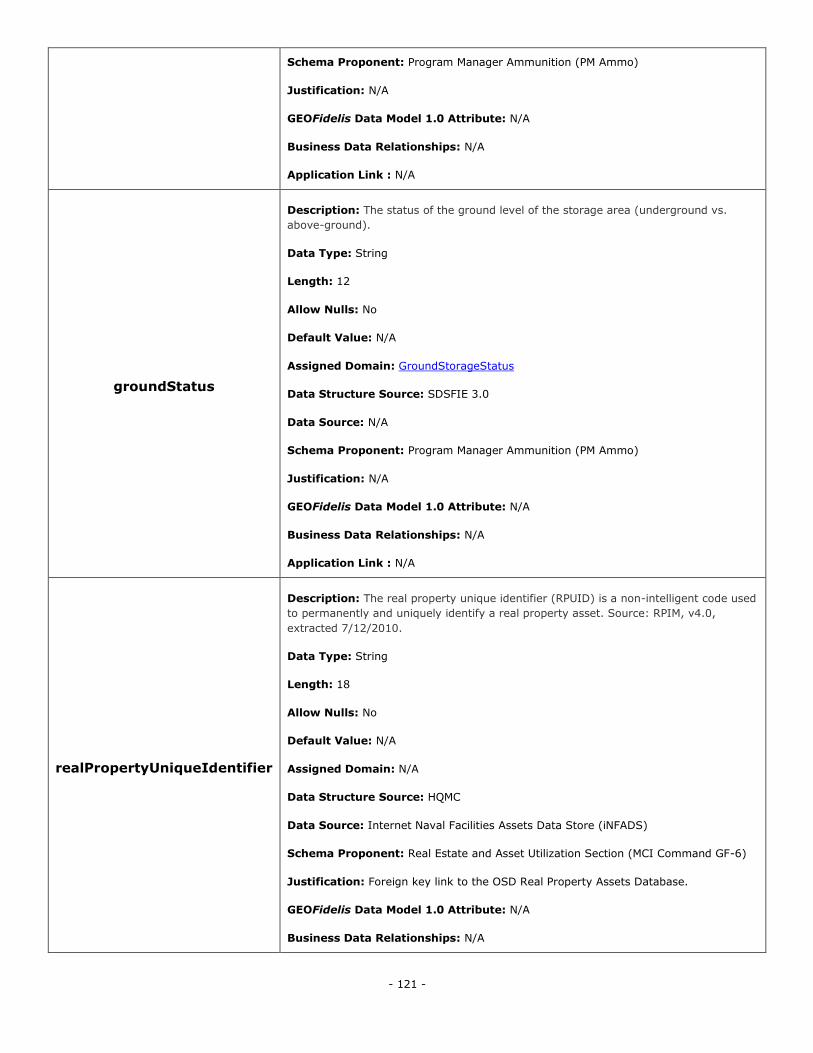
- 121 -
Schema Proponent: Program Manager Ammunition (PM Ammo)
Justification: N/A
GEOFidelis Data Model 1.0 Attribute: N/A
Business Data Relationships: N/A
Application Link : N/A
groundStatus
Description: The status of the ground level of the storage area (underground vs.
above-ground).
Data Type: String
Length: 12
Allow Nulls: No
Default Value: N/A
Assigned Domain: GroundStorageStatus
Data Structure Source: SDSFIE 3.0
Data Source: N/A
Schema Proponent: Program Manager Ammunition (PM Ammo)
Justification: N/A
GEOFidelis Data Model 1.0 Attribute: N/A
Business Data Relationships: N/A
Application Link : N/A
realPropertyUniqueIdentifier
Description: The real property unique identifier (RPUID) is a non-intelligent code used
to permanently and uniquely identify a real property asset. Source: RPIM, v4.0,
extracted 7/12/2010.
Data Type: String
Length: 18
Allow Nulls: No
Default Value: N/A
Assigned Domain: N/A
Data Structure Source: HQMC
Data Source: Internet Naval Facilities Assets Data Store (iNFADS)
Schema Proponent: Real Estate and Asset Utilization Section (MCI Command GF-6)
Justification: Foreign key link to the OSD Real Property Assets Database.
GEOFidelis Data Model 1.0 Attribute: N/A
Business Data Relationships: N/A
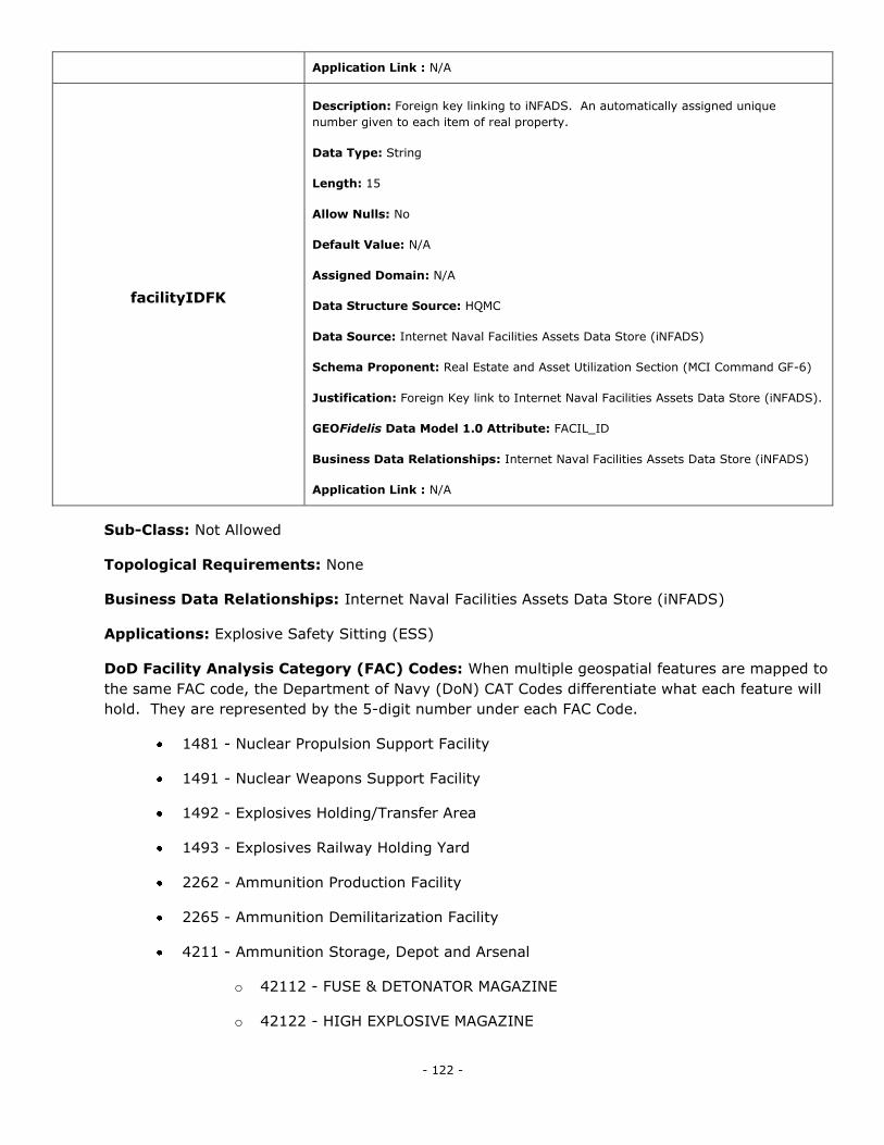
- 122 -
Application Link : N/A
facilityIDFK
Description: Foreign key linking to iNFADS. An automatically assigned unique
number given to each item of real property.
Data Type: String
Length: 15
Allow Nulls: No
Default Value: N/A
Assigned Domain: N/A
Data Structure Source: HQMC
Data Source: Internet Naval Facilities Assets Data Store (iNFADS)
Schema Proponent: Real Estate and Asset Utilization Section (MCI Command GF-6)
Justification: Foreign Key link to Internet Naval Facilities Assets Data Store (iNFADS).
GEOFidelis Data Model 1.0 Attribute: FACIL_ID
Business Data Relationships: Internet Naval Facilities Assets Data Store (iNFADS)
Application Link : N/A
Sub-Class: Not Allowed
Topological Requirements: None
Business Data Relationships: Internet Naval Facilities Assets Data Store (iNFADS)
Applications: Explosive Safety Sitting (ESS)
DoD Facility Analysis Category (FAC) Codes: When multiple geospatial features are mapped to
the same FAC code, the Department of Navy (DoN) CAT Codes differentiate what each feature will
hold. They are represented by the 5-digit number under each FAC Code.
1481 - Nuclear Propulsion Support Facility
1491 - Nuclear Weapons Support Facility
1492 - Explosives Holding/Transfer Area
1493 - Explosives Railway Holding Yard
2262 - Ammunition Production Facility
2265 - Ammunition Demilitarization Facility
4211 - Ammunition Storage, Depot and Arsenal
o 42112 - FUSE & DETONATOR MAGAZINE
o 42122 - HIGH EXPLOSIVE MAGAZINE
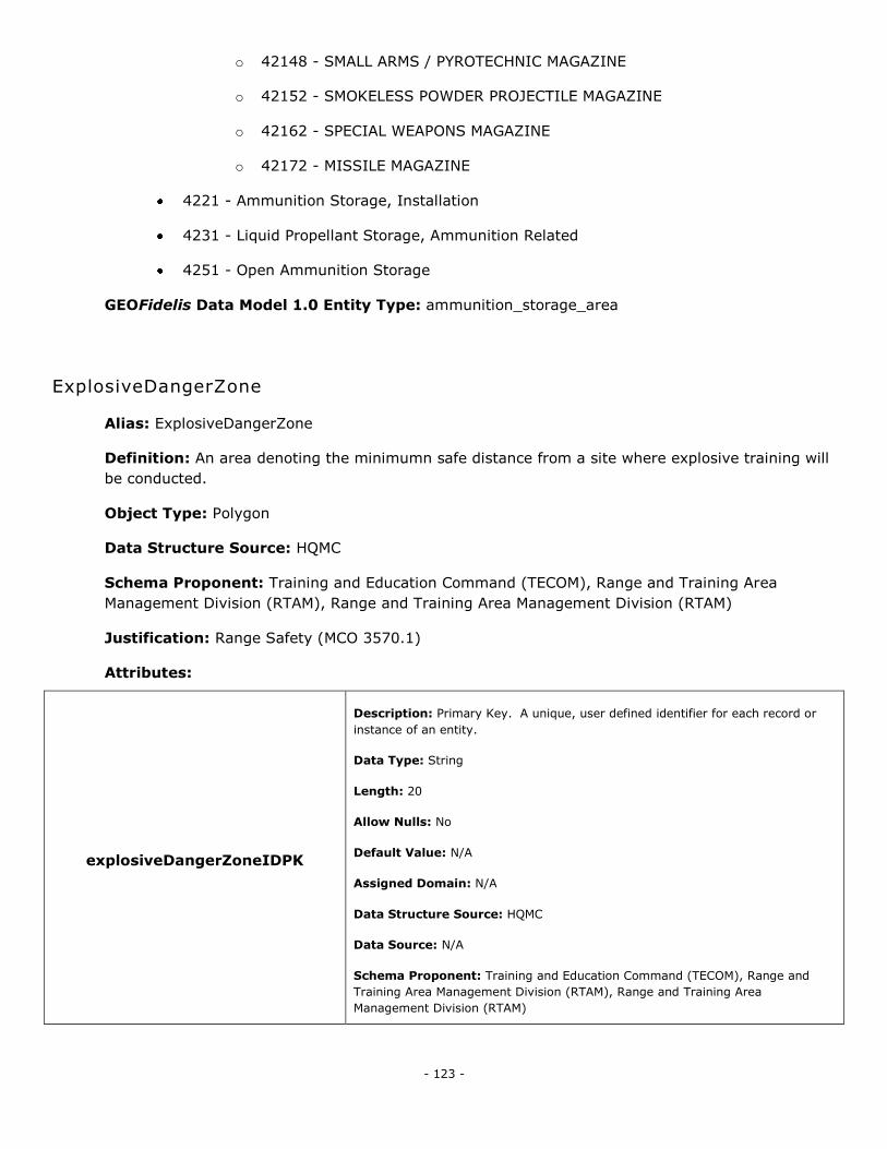
- 123 -
o 42148 - SMALL ARMS / PYROTECHNIC MAGAZINE
o 42152 - SMOKELESS POWDER PROJECTILE MAGAZINE
o 42162 - SPECIAL WEAPONS MAGAZINE
o 42172 - MISSILE MAGAZINE
4221 - Ammunition Storage, Installation
4231 - Liquid Propellant Storage, Ammunition Related
4251 - Open Ammunition Storage
GEOFidelis Data Model 1.0 Entity Type: ammunition_storage_area
ExplosiveDangerZone
Alias: ExplosiveDangerZone
Definition: An area denoting the minimumn safe distance from a site where explosive training will
be conducted.
Object Type: Polygon
Data Structure Source: HQMC
Schema Proponent: Training and Education Command (TECOM), Range and Training Area
Management Division (RTAM), Range and Training Area Management Division (RTAM)
Justification: Range Safety (MCO 3570.1)
Attributes:
explosiveDangerZoneIDPK
Description: Primary Key. A unique, user defined identifier for each record or
instance of an entity.
Data Type: String
Length: 20
Allow Nulls: No
Default Value: N/A
Assigned Domain: N/A
Data Structure Source: HQMC
Data Source: N/A
Schema Proponent: Training and Education Command (TECOM), Range and
Training Area Management Division (RTAM), Range and Training Area
Management Division (RTAM)
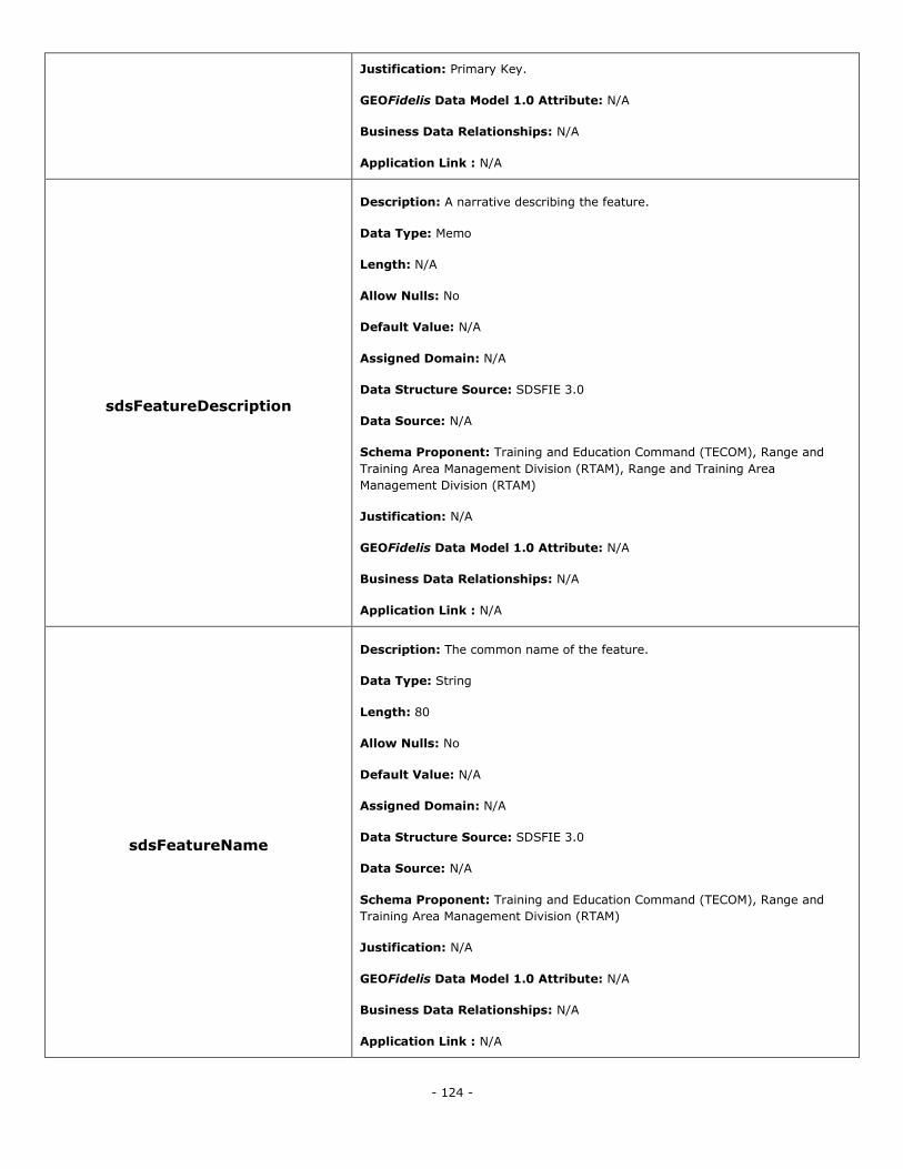
- 124 -
Justification: Primary Key.
GEOFidelis Data Model 1.0 Attribute: N/A
Business Data Relationships: N/A
Application Link : N/A
sdsFeatureDescription
Description: A narrative describing the feature.
Data Type: Memo
Length: N/A
Allow Nulls: No
Default Value: N/A
Assigned Domain: N/A
Data Structure Source: SDSFIE 3.0
Data Source: N/A
Schema Proponent: Training and Education Command (TECOM), Range and
Training Area Management Division (RTAM), Range and Training Area
Management Division (RTAM)
Justification: N/A
GEOFidelis Data Model 1.0 Attribute: N/A
Business Data Relationships: N/A
Application Link : N/A
sdsFeatureName
Description: The common name of the feature.
Data Type: String
Length: 80
Allow Nulls: No
Default Value: N/A
Assigned Domain: N/A
Data Structure Source: SDSFIE 3.0
Data Source: N/A
Schema Proponent: Training and Education Command (TECOM), Range and
Training Area Management Division (RTAM)
Justification: N/A
GEOFidelis Data Model 1.0 Attribute: N/A
Business Data Relationships: N/A
Application Link : N/A
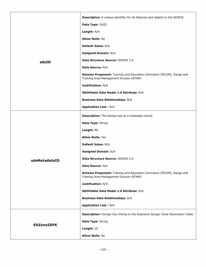
- 125 -
sdsID
Description: A unique identifier for all features and objects in the SDSFIE.
Data Type: GUID
Length: N/A
Allow Nulls: No
Default Value: N/A
Assigned Domain: N/A
Data Structure Source: SDSFIE 3.0
Data Source: N/A
Schema Proponent: Training and Education Command (TECOM), Range and
Training Area Management Division (RTAM)
Justification: N/A
GEOFidelis Data Model 1.0 Attribute: N/A
Business Data Relationships: N/A
Application Link : N/A
sdsMetadataID
Description: The foreign key to a metadata record.
Data Type: String
Length: 80
Allow Nulls: Yes
Default Value: N/A
Assigned Domain: N/A
Data Structure Source: SDSFIE 3.0
Data Source: N/A
Schema Proponent: Training and Education Command (TECOM), Range and
Training Area Management Division (RTAM)
Justification: N/A
GEOFidelis Data Model 1.0 Attribute: N/A
Business Data Relationships: N/A
Application Link : N/A
EDZoneIDFK
Description: Foreign key linking to the Explosive Danger Zone Parameters Table.
Data Type: String
Length: 20
Allow Nulls: No
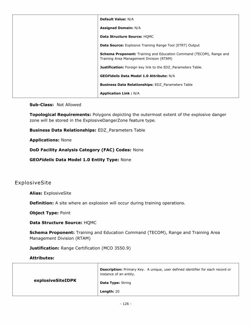
- 126 -
Default Value: N/A
Assigned Domain: N/A
Data Structure Source: HQMC
Data Source: Explosive Training Range Tool (ETRT) Output
Schema Proponent: Training and Education Command (TECOM), Range and
Training Area Management Division (RTAM)
Justification: Foreign key link to the EDZ_Parameters Table.
GEOFidelis Data Model 1.0 Attribute: N/A
Business Data Relationships: EDZ_Parameters Table
Application Link : N/A
Sub-Class: Not Allowed
Topological Requirements: Polygons depicting the outermost extent of the explosive danger
zone will be stored in the ExplosiveDangerZone feature type.
Business Data Relationships: EDZ_Parameters Table
Applications: None
DoD Facility Analysis Category (FAC) Codes: None
GEOFidelis Data Model 1.0 Entity Type: None
ExplosiveSite
Alias: ExplosiveSite
Definition: A site where an explosion will occur during training operations.
Object Type: Point
Data Structure Source: HQMC
Schema Proponent: Training and Education Command (TECOM), Range and Training Area
Management Division (RTAM)
Justification: Range Certification (MCO 3550.9)
Attributes:
explosiveSiteIDPK
Description: Primary Key. A unique, user defined identifier for each record or
instance of an entity.
Data Type: String
Length: 20
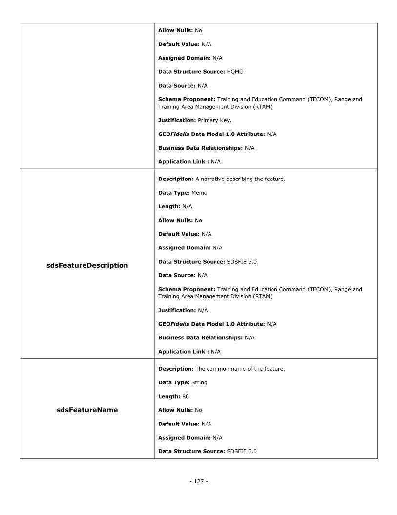
- 127 -
Allow Nulls: No
Default Value: N/A
Assigned Domain: N/A
Data Structure Source: HQMC
Data Source: N/A
Schema Proponent: Training and Education Command (TECOM), Range and
Training Area Management Division (RTAM)
Justification: Primary Key.
GEOFidelis Data Model 1.0 Attribute: N/A
Business Data Relationships: N/A
Application Link : N/A
sdsFeatureDescription
Description: A narrative describing the feature.
Data Type: Memo
Length: N/A
Allow Nulls: No
Default Value: N/A
Assigned Domain: N/A
Data Structure Source: SDSFIE 3.0
Data Source: N/A
Schema Proponent: Training and Education Command (TECOM), Range and
Training Area Management Division (RTAM)
Justification: N/A
GEOFidelis Data Model 1.0 Attribute: N/A
Business Data Relationships: N/A
Application Link : N/A
sdsFeatureName
Description: The common name of the feature.
Data Type: String
Length: 80
Allow Nulls: No
Default Value: N/A
Assigned Domain: N/A
Data Structure Source: SDSFIE 3.0
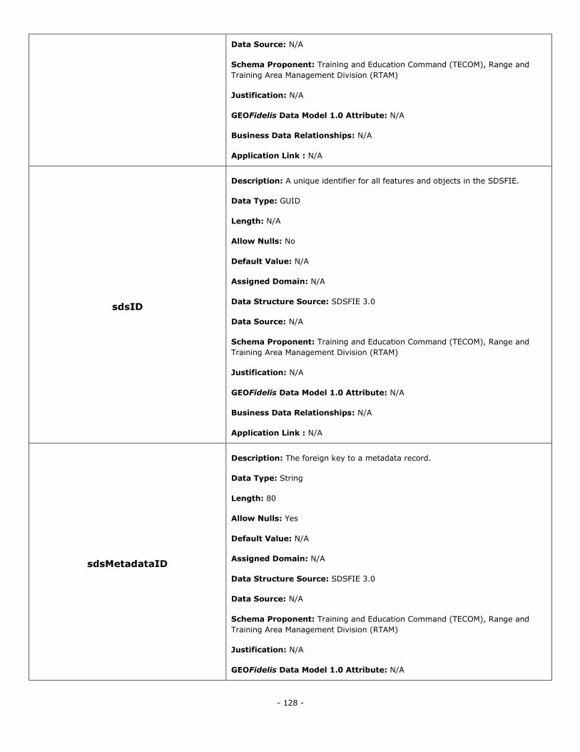
- 128 -
Data Source: N/A
Schema Proponent: Training and Education Command (TECOM), Range and
Training Area Management Division (RTAM)
Justification: N/A
GEOFidelis Data Model 1.0 Attribute: N/A
Business Data Relationships: N/A
Application Link : N/A
sdsID
Description: A unique identifier for all features and objects in the SDSFIE.
Data Type: GUID
Length: N/A
Allow Nulls: No
Default Value: N/A
Assigned Domain: N/A
Data Structure Source: SDSFIE 3.0
Data Source: N/A
Schema Proponent: Training and Education Command (TECOM), Range and
Training Area Management Division (RTAM)
Justification: N/A
GEOFidelis Data Model 1.0 Attribute: N/A
Business Data Relationships: N/A
Application Link : N/A
sdsMetadataID
Description: The foreign key to a metadata record.
Data Type: String
Length: 80
Allow Nulls: Yes
Default Value: N/A
Assigned Domain: N/A
Data Structure Source: SDSFIE 3.0
Data Source: N/A
Schema Proponent: Training and Education Command (TECOM), Range and
Training Area Management Division (RTAM)
Justification: N/A
GEOFidelis Data Model 1.0 Attribute: N/A
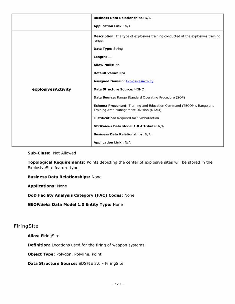
- 129 -
Business Data Relationships: N/A
Application Link : N/A
explosivesActivity
Description: The type of explosives training conducted at the explosives training
range.
Data Type: String
Length: 11
Allow Nulls: No
Default Value: N/A
Assigned Domain: ExplosivesActivity
Data Structure Source: HQMC
Data Source: Range Standard Operating Procedure (SOP)
Schema Proponent: Training and Education Command (TECOM), Range and
Training Area Management Division (RTAM)
Justification: Required for Symbolization.
GEOFidelis Data Model 1.0 Attribute: N/A
Business Data Relationships: N/A
Application Link : N/A
Sub-Class: Not Allowed
Topological Requirements: Points depicting the center of explosive sites will be stored in the
ExplosiveSite feature type.
Business Data Relationships: None
Applications: None
DoD Facility Analysis Category (FAC) Codes: None
GEOFidelis Data Model 1.0 Entity Type: None
FiringSite
Alias: FiringSite
Definition: Locations used for the firing of weapon systems.
Object Type: Polygon, Polyline, Point
Data Structure Source: SDSFIE 3.0 - FiringSite
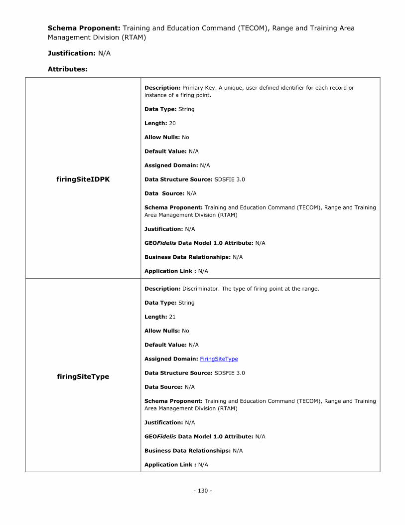
- 130 -
Schema Proponent: Training and Education Command (TECOM), Range and Training Area
Management Division (RTAM)
Justification: N/A
Attributes:
firingSiteIDPK
Description: Primary Key. A unique, user defined identifier for each record or
instance of a firing point.
Data Type: String
Length: 20
Allow Nulls: No
Default Value: N/A
Assigned Domain: N/A
Data Structure Source: SDSFIE 3.0
Data Source: N/A
Schema Proponent: Training and Education Command (TECOM), Range and Training
Area Management Division (RTAM)
Justification: N/A
GEOFidelis Data Model 1.0 Attribute: N/A
Business Data Relationships: N/A
Application Link : N/A
firingSiteType
Description: Discriminator. The type of firing point at the range.
Data Type: String
Length: 21
Allow Nulls: No
Default Value: N/A
Assigned Domain: FiringSiteType
Data Structure Source: SDSFIE 3.0
Data Source: N/A
Schema Proponent: Training and Education Command (TECOM), Range and Training
Area Management Division (RTAM)
Justification: N/A
GEOFidelis Data Model 1.0 Attribute: N/A
Business Data Relationships: N/A
Application Link : N/A
- 131 -
isStationary
Description: Is the firing line stationary or moving.
Data Type: Boolean
Length: N/A
Allow Nulls: No
Default Value: N/A
Assigned Domain: N/A
Data Structure Source: SDSFIE 3.0
Data Source: N/A
Schema Proponent: Training and Education Command (TECOM), Range and Training
Area Management Division (RTAM)
Justification: N/A
GEOFidelis Data Model 1.0 Attribute: N/A
Business Data Relationships: N/A
Application Link : N/A
operationalStatus
Description: Operational status of the item.
Data Type: String
Length: 17
Allow Nulls: No
Default Value: N/A
Assigned Domain: RangeOperationalStatus
Data Structure Source: SDSFIE 3.0
Data Source: N/A
Schema Proponent: Training and Education Command (TECOM), Range and Training
Area Management Division (RTAM)
Justification: N/A
GEOFidelis Data Model 1.0 Attribute: RNG_STATUS
Business Data Relationships: N/A
Application Link : N/A
sdsFeatureDescription
Description: A narrative describing the feature.
Data Type: Memo
Length: N/A
Allow Nulls: No
- 132 -
Default Value: N/A
Assigned Domain: N/A
Data Structure Source: SDSFIE 3.0
Data Source: N/A
Schema Proponent: Training and Education Command (TECOM), Range and Training
Area Management Division (RTAM)
Justification: N/A
GEOFidelis Data Model 1.0 Attribute: narrative
Business Data Relationships: N/A
Application Link : N/A
sdsFeatureName
Description: The common name of the feature.
Data Type: String
Length: 80
Allow Nulls: No
Default Value: N/A
Assigned Domain: N/A
Data Structure Source: SDSFIE 3.0
Data Source: N/A
Schema Proponent: Training and Education Command (TECOM), Range and Training
Area Management Division (RTAM)
Justification: N/A
GEOFidelis Data Model 1.0 Attribute: N/A
Business Data Relationships: N/A
Application Link : N/A
sdsID
Description: A unique identifier for all features and objects in the SDSFIE.
Data Type: GUID
Length: N/A
Allow Nulls: No
Default Value: N/A
Assigned Domain: N/A
Data Structure Source: SDSFIE 3.0
Data Source: N/A
Schema Proponent: Training and Education Command (TECOM), Range and Training
- 133 -
Area Management Division (RTAM)
Justification: N/A
GEOFidelis Data Model 1.0 Attribute: N/A
Business Data Relationships: N/A
Application Link : N/A
sdsMetadataID
Description: The foreign key to a metadata record.
Data Type: String
Length: 80
Allow Nulls: Yes
Default Value: N/A
Assigned Domain: N/A
Data Structure Source: SDSFIE 3.0
Data Source: N/A
Schema Proponent: Training and Education Command (TECOM), Range and Training
Area Management Division (RTAM)
Justification: N/A
GEOFidelis Data Model 1.0 Attribute: meta_id
Business Data Relationships: N/A
Application Link : N/A
Sub-Class: Not Allowed
Topological Requirements: Points depicting the center of the fixed locations utilized for firing
weapon systems will be stored in the FiringSitePoint feature type. If the size of the geographic
location is larger than the sum of the acceptable positional accuracy and the size of the largest
weapon system fired, then the feature should be recorded in the FiringSiteArea. For example, if the
acceptable positional accuracy for a firing site is 2.5 m, and the largest weapon system fired is a
weapon mounted on a 2m by 6m vehicle, the static firing site must be smaller than 7m by 11m to
be recorded in the FiringSitePoint feature type.
Polygons depicting the outermost geographic extent of areas used as firing sites will be stored in
the FiringSiteArea feature type. The polygon can depict a maneuver or movement box and should
be used only when there is an absence of static firing points or static firing points are larger than
the sum of the acceptable positional accuracy and the size of the largest weapon system fired.
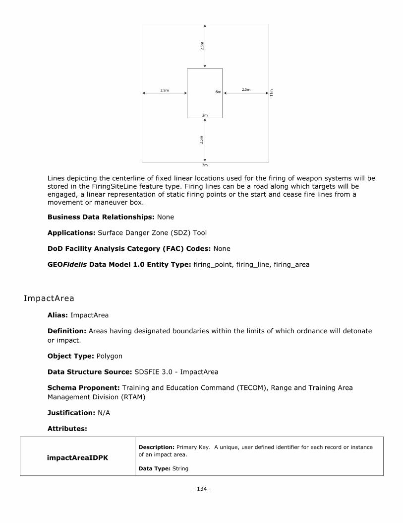
- 134 -
Lines depicting the centerline of fixed linear locations used for the firing of weapon systems will be
stored in the FiringSiteLine feature type. Firing lines can be a road along which targets will be
engaged, a linear representation of static firing points or the start and cease fire lines from a
movement or maneuver box.
Business Data Relationships: None
Applications: Surface Danger Zone (SDZ) Tool
DoD Facility Analysis Category (FAC) Codes: None
GEOFidelis Data Model 1.0 Entity Type: firing_point, firing_line, firing_area
ImpactArea
Alias: ImpactArea
Definition: Areas having designated boundaries within the limits of which ordnance will detonate
or impact.
Object Type: Polygon
Data Structure Source: SDSFIE 3.0 - ImpactArea
Schema Proponent: Training and Education Command (TECOM), Range and Training Area
Management Division (RTAM)
Justification: N/A
Attributes:
impactAreaIDPK
Description: Primary Key. A unique, user defined identifier for each record or instance
of an impact area.
Data Type: String
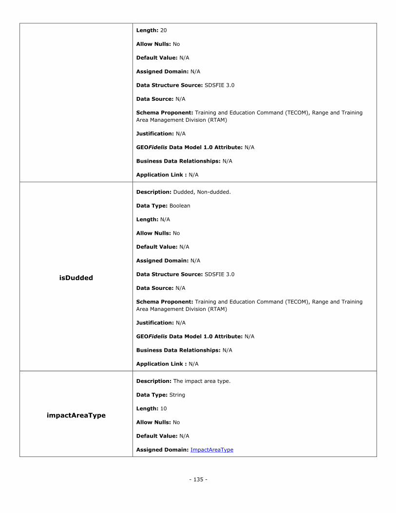
- 135 -
Length: 20
Allow Nulls: No
Default Value: N/A
Assigned Domain: N/A
Data Structure Source: SDSFIE 3.0
Data Source: N/A
Schema Proponent: Training and Education Command (TECOM), Range and Training
Area Management Division (RTAM)
Justification: N/A
GEOFidelis Data Model 1.0 Attribute: N/A
Business Data Relationships: N/A
Application Link : N/A
isDudded
Description: Dudded, Non-dudded.
Data Type: Boolean
Length: N/A
Allow Nulls: No
Default Value: N/A
Assigned Domain: N/A
Data Structure Source: SDSFIE 3.0
Data Source: N/A
Schema Proponent: Training and Education Command (TECOM), Range and Training
Area Management Division (RTAM)
Justification: N/A
GEOFidelis Data Model 1.0 Attribute: N/A
Business Data Relationships: N/A
Application Link : N/A
impactAreaType
Description: The impact area type.
Data Type: String
Length: 10
Allow Nulls: No
Default Value: N/A
Assigned Domain: ImpactAreaType
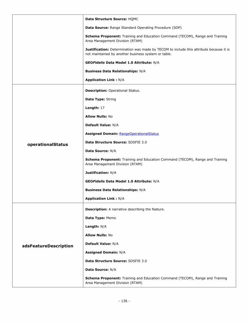
- 136 -
Data Structure Source: HQMC
Data Source: Range Standard Operating Procedure (SOP)
Schema Proponent: Training and Education Command (TECOM), Range and Training
Area Management Division (RTAM)
Justification: Determination was made by TECOM to include this attribute because it is
not maintained by another business system or table.
GEOFidelis Data Model 1.0 Attribute: N/A
Business Data Relationships: N/A
Application Link : N/A
operationalStatus
Description: Operational Status.
Data Type: String
Length: 17
Allow Nulls: No
Default Value: N/A
Assigned Domain: RangeOperationalStatus
Data Structure Source: SDSFIE 3.0
Data Source: N/A
Schema Proponent: Training and Education Command (TECOM), Range and Training
Area Management Division (RTAM)
Justification: N/A
GEOFidelis Data Model 1.0 Attribute: N/A
Business Data Relationships: N/A
Application Link : N/A
sdsFeatureDescription
Description: A narrative describing the feature.
Data Type: Memo
Length: N/A
Allow Nulls: No
Default Value: N/A
Assigned Domain: N/A
Data Structure Source: SDSFIE 3.0
Data Source: N/A
Schema Proponent: Training and Education Command (TECOM), Range and Training
Area Management Division (RTAM)
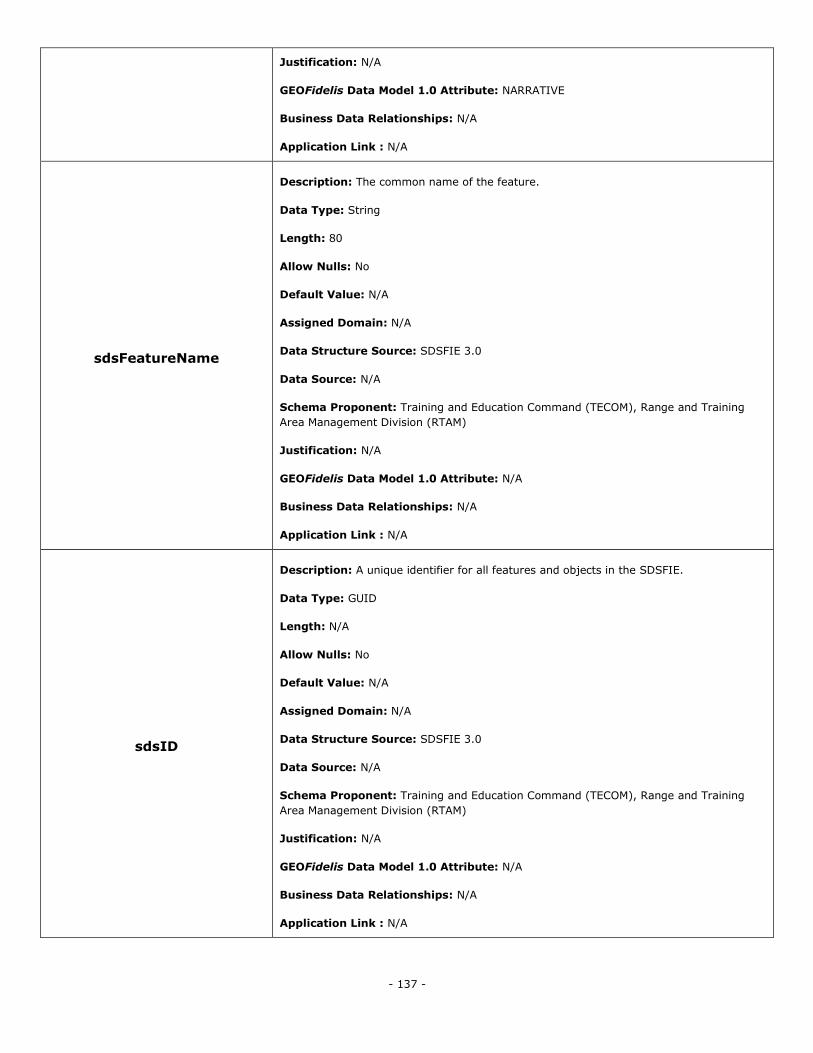
- 137 -
Justification: N/A
GEOFidelis Data Model 1.0 Attribute: NARRATIVE
Business Data Relationships: N/A
Application Link : N/A
sdsFeatureName
Description: The common name of the feature.
Data Type: String
Length: 80
Allow Nulls: No
Default Value: N/A
Assigned Domain: N/A
Data Structure Source: SDSFIE 3.0
Data Source: N/A
Schema Proponent: Training and Education Command (TECOM), Range and Training
Area Management Division (RTAM)
Justification: N/A
GEOFidelis Data Model 1.0 Attribute: N/A
Business Data Relationships: N/A
Application Link : N/A
sdsID
Description: A unique identifier for all features and objects in the SDSFIE.
Data Type: GUID
Length: N/A
Allow Nulls: No
Default Value: N/A
Assigned Domain: N/A
Data Structure Source: SDSFIE 3.0
Data Source: N/A
Schema Proponent: Training and Education Command (TECOM), Range and Training
Area Management Division (RTAM)
Justification: N/A
GEOFidelis Data Model 1.0 Attribute: N/A
Business Data Relationships: N/A
Application Link : N/A
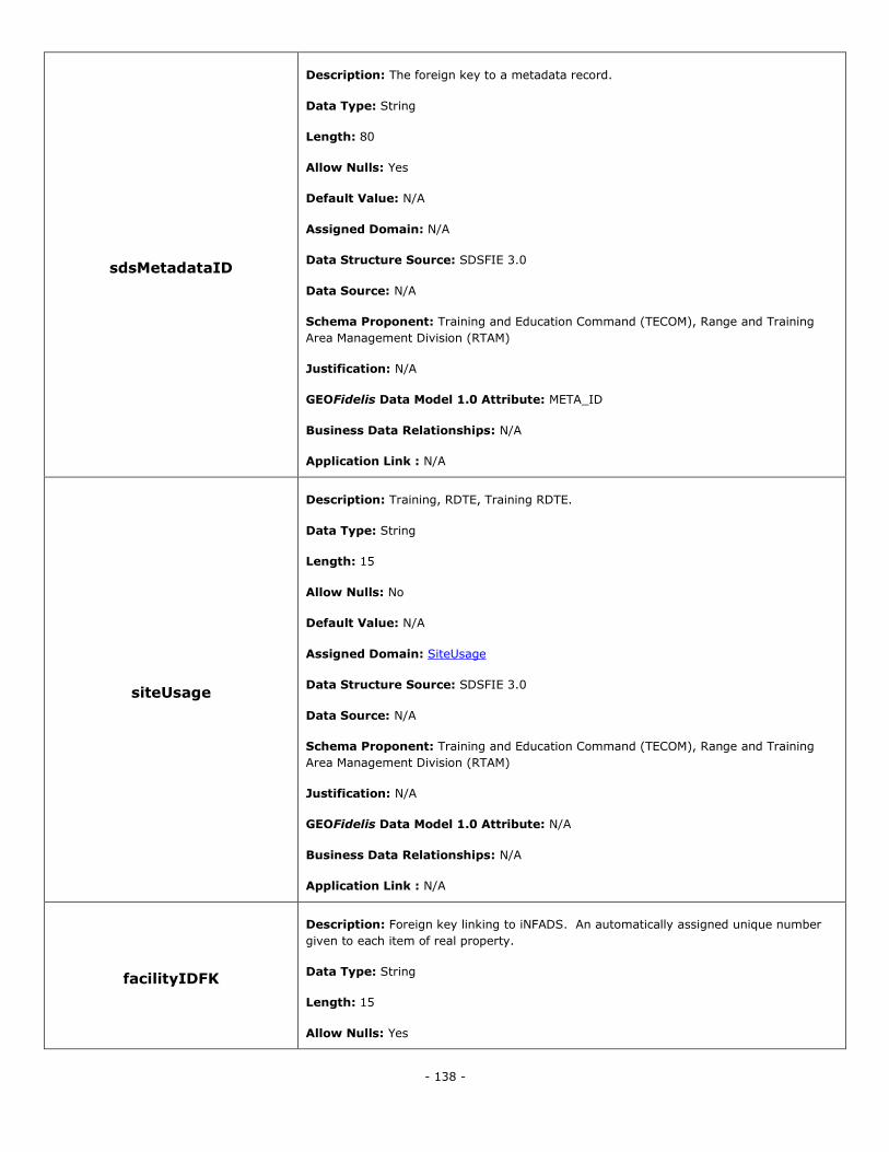
- 138 -
sdsMetadataID
Description: The foreign key to a metadata record.
Data Type: String
Length: 80
Allow Nulls: Yes
Default Value: N/A
Assigned Domain: N/A
Data Structure Source: SDSFIE 3.0
Data Source: N/A
Schema Proponent: Training and Education Command (TECOM), Range and Training
Area Management Division (RTAM)
Justification: N/A
GEOFidelis Data Model 1.0 Attribute: META_ID
Business Data Relationships: N/A
Application Link : N/A
siteUsage
Description: Training, RDTE, Training RDTE.
Data Type: String
Length: 15
Allow Nulls: No
Default Value: N/A
Assigned Domain: SiteUsage
Data Structure Source: SDSFIE 3.0
Data Source: N/A
Schema Proponent: Training and Education Command (TECOM), Range and Training
Area Management Division (RTAM)
Justification: N/A
GEOFidelis Data Model 1.0 Attribute: N/A
Business Data Relationships: N/A
Application Link : N/A
facilityIDFK
Description: Foreign key linking to iNFADS. An automatically assigned unique number
given to each item of real property.
Data Type: String
Length: 15
Allow Nulls: Yes
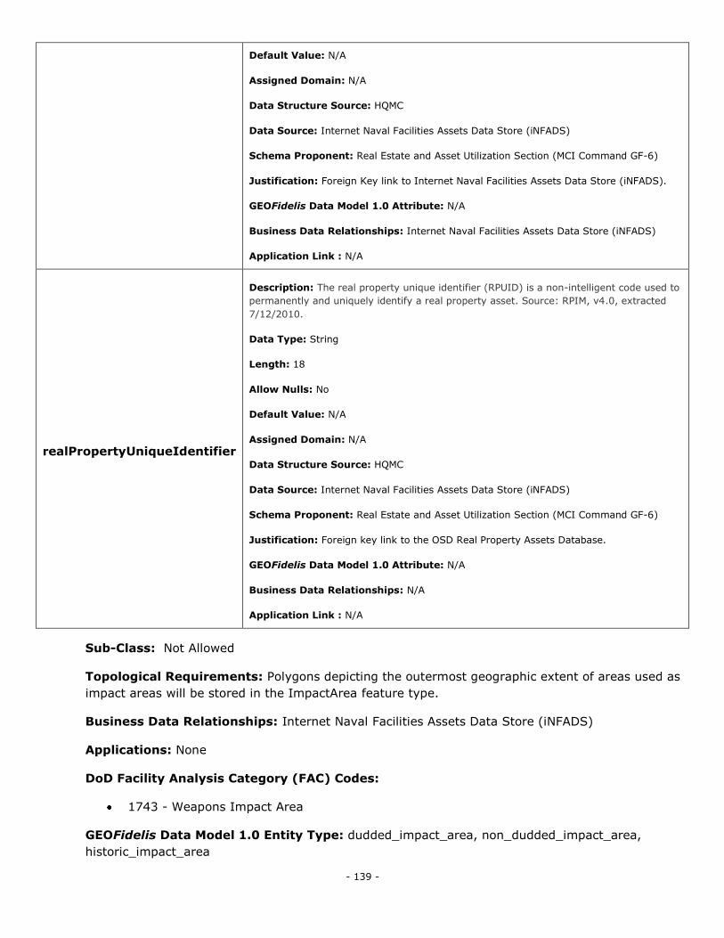
- 139 -
Default Value: N/A
Assigned Domain: N/A
Data Structure Source: HQMC
Data Source: Internet Naval Facilities Assets Data Store (iNFADS)
Schema Proponent: Real Estate and Asset Utilization Section (MCI Command GF-6)
Justification: Foreign Key link to Internet Naval Facilities Assets Data Store (iNFADS).
GEOFidelis Data Model 1.0 Attribute: N/A
Business Data Relationships: Internet Naval Facilities Assets Data Store (iNFADS)
Application Link : N/A
realPropertyUniqueIdentifier
Description: The real property unique identifier (RPUID) is a non-intelligent code used to
permanently and uniquely identify a real property asset. Source: RPIM, v4.0, extracted
7/12/2010.
Data Type: String
Length: 18
Allow Nulls: No
Default Value: N/A
Assigned Domain: N/A
Data Structure Source: HQMC
Data Source: Internet Naval Facilities Assets Data Store (iNFADS)
Schema Proponent: Real Estate and Asset Utilization Section (MCI Command GF-6)
Justification: Foreign key link to the OSD Real Property Assets Database.
GEOFidelis Data Model 1.0 Attribute: N/A
Business Data Relationships: N/A
Application Link : N/A
Sub-Class: Not Allowed
Topological Requirements: Polygons depicting the outermost geographic extent of areas used as
impact areas will be stored in the ImpactArea feature type.
Business Data Relationships: Internet Naval Facilities Assets Data Store (iNFADS)
Applications: None
DoD Facility Analysis Category (FAC) Codes:
1743 - Weapons Impact Area
GEOFidelis Data Model 1.0 Entity Type: dudded_impact_area, non_dudded_impact_area,
historic_impact_area
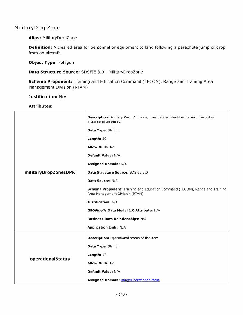
- 140 -
MilitaryDropZone
Alias: MilitaryDropZone
Definition: A cleared area for personnel or equipment to land following a parachute jump or drop
from an aircraft.
Object Type: Polygon
Data Structure Source: SDSFIE 3.0 - MilitaryDropZone
Schema Proponent: Training and Education Command (TECOM), Range and Training Area
Management Division (RTAM)
Justification: N/A
Attributes:
militaryDropZoneIDPK
Description: Primary Key. A unique, user defined identifier for each record or
instance of an entity.
Data Type: String
Length: 20
Allow Nulls: No
Default Value: N/A
Assigned Domain: N/A
Data Structure Source: SDSFIE 3.0
Data Source: N/A
Schema Proponent: Training and Education Command (TECOM), Range and Training
Area Management Division (RTAM)
Justification: N/A
GEOFidelis Data Model 1.0 Attribute: N/A
Business Data Relationships: N/A
Application Link : N/A
operationalStatus
Description: Operational status of the item.
Data Type: String
Length: 17
Allow Nulls: No
Default Value: N/A
Assigned Domain: RangeOperationalStatus
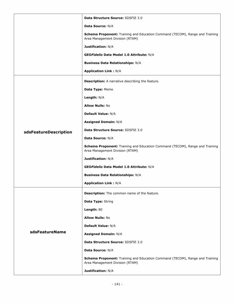
- 141 -
Data Structure Source: SDSFIE 3.0
Data Source: N/A
Schema Proponent: Training and Education Command (TECOM), Range and Training
Area Management Division (RTAM)
Justification: N/A
GEOFidelis Data Model 1.0 Attribute: N/A
Business Data Relationships: N/A
Application Link : N/A
sdsFeatureDescription
Description: A narrative describing the feature.
Data Type: Memo
Length: N/A
Allow Nulls: No
Default Value: N/A
Assigned Domain: N/A
Data Structure Source: SDSFIE 3.0
Data Source: N/A
Schema Proponent: Training and Education Command (TECOM), Range and Training
Area Management Division (RTAM)
Justification: N/A
GEOFidelis Data Model 1.0 Attribute: N/A
Business Data Relationships: N/A
Application Link : N/A
sdsFeatureName
Description: The common name of the feature.
Data Type: String
Length: 80
Allow Nulls: No
Default Value: N/A
Assigned Domain: N/A
Data Structure Source: SDSFIE 3.0
Data Source: N/A
Schema Proponent: Training and Education Command (TECOM), Range and Training
Area Management Division (RTAM)
Justification: N/A

- 142 -
GEOFidelis Data Model 1.0 Attribute: N/A
Business Data Relationships: N/A
Application Link : N/A
sdsID
Description: A unique identifier for all features and objects in the SDSFIE.
Data Type: GUID
Length: N/A
Allow Nulls: No
Default Value: N/A
Assigned Domain: N/A
Data Structure Source: SDSFIE 3.0
Data Source: N/A
Schema Proponent: Training and Education Command (TECOM), Range and Training
Area Management Division (RTAM)
Justification: N/A
GEOFidelis Data Model 1.0 Attribute: N/A
Business Data Relationships: N/A
Application Link : N/A
sdsMetadataID
Description: The foreign key to a metadata record.
Data Type: String
Length: 80
Allow Nulls: Yes
Default Value: N/A
Assigned Domain: N/A
Data Structure Source: SDSFIE 3.0
Data Source: N/A
Schema Proponent: Training and Education Command (TECOM), Range and Training
Area Management Division (RTAM)
Justification: N/A
GEOFidelis Data Model 1.0 Attribute: N/A
Business Data Relationships: N/A
Application Link : N/A
RFMSSIDFK Description: Foreign key linking to the Range Facility Management Support System.
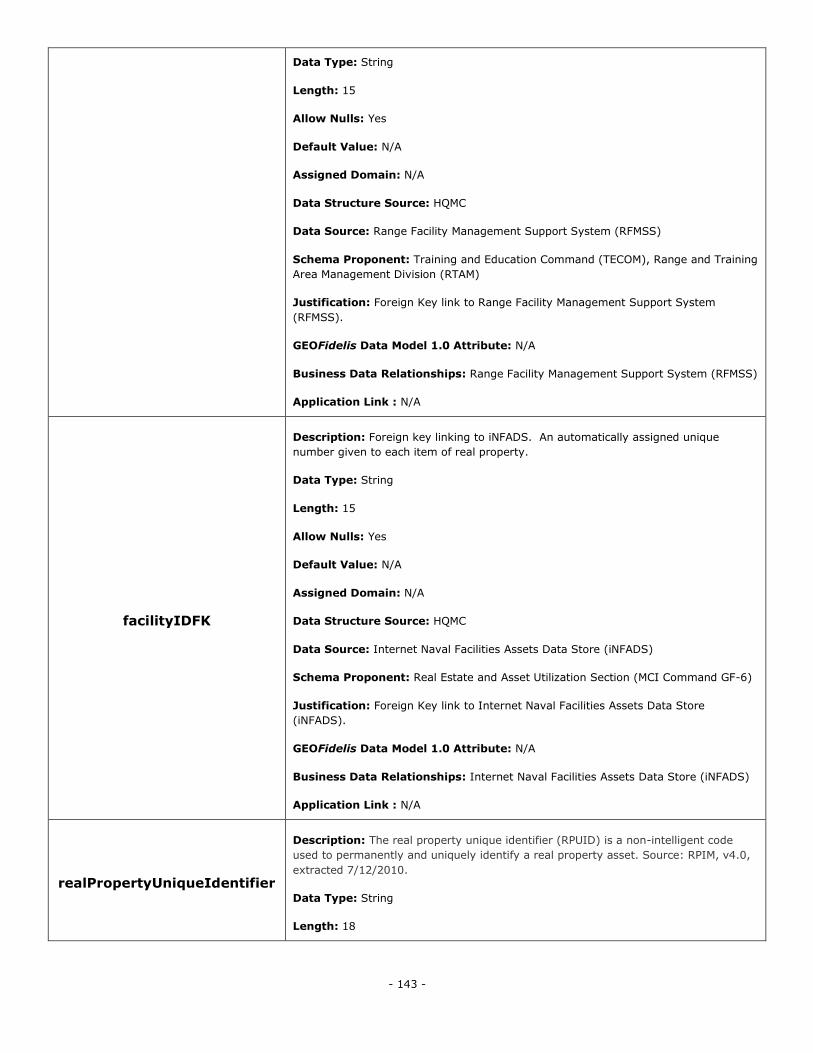
- 143 -
Data Type: String
Length: 15
Allow Nulls: Yes
Default Value: N/A
Assigned Domain: N/A
Data Structure Source: HQMC
Data Source: Range Facility Management Support System (RFMSS)
Schema Proponent: Training and Education Command (TECOM), Range and Training
Area Management Division (RTAM)
Justification: Foreign Key link to Range Facility Management Support System
(RFMSS).
GEOFidelis Data Model 1.0 Attribute: N/A
Business Data Relationships: Range Facility Management Support System (RFMSS)
Application Link : N/A
facilityIDFK
Description: Foreign key linking to iNFADS. An automatically assigned unique
number given to each item of real property.
Data Type: String
Length: 15
Allow Nulls: Yes
Default Value: N/A
Assigned Domain: N/A
Data Structure Source: HQMC
Data Source: Internet Naval Facilities Assets Data Store (iNFADS)
Schema Proponent: Real Estate and Asset Utilization Section (MCI Command GF-6)
Justification: Foreign Key link to Internet Naval Facilities Assets Data Store
(iNFADS).
GEOFidelis Data Model 1.0 Attribute: N/A
Business Data Relationships: Internet Naval Facilities Assets Data Store (iNFADS)
Application Link : N/A
realPropertyUniqueIdentifier
Description: The real property unique identifier (RPUID) is a non-intelligent code
used to permanently and uniquely identify a real property asset. Source: RPIM, v4.0,
extracted 7/12/2010.
Data Type: String
Length: 18
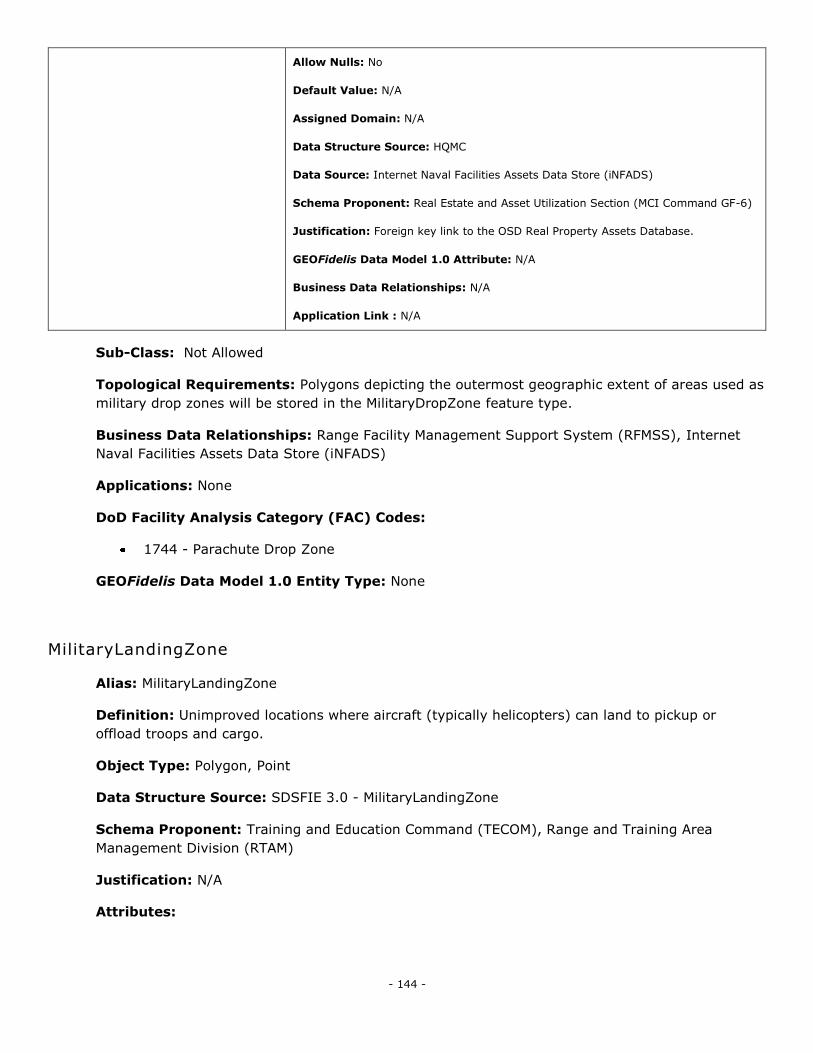
- 144 -
Allow Nulls: No
Default Value: N/A
Assigned Domain: N/A
Data Structure Source: HQMC
Data Source: Internet Naval Facilities Assets Data Store (iNFADS)
Schema Proponent: Real Estate and Asset Utilization Section (MCI Command GF-6)
Justification: Foreign key link to the OSD Real Property Assets Database.
GEOFidelis Data Model 1.0 Attribute: N/A
Business Data Relationships: N/A
Application Link : N/A
Sub-Class: Not Allowed
Topological Requirements: Polygons depicting the outermost geographic extent of areas used as
military drop zones will be stored in the MilitaryDropZone feature type.
Business Data Relationships: Range Facility Management Support System (RFMSS), Internet
Naval Facilities Assets Data Store (iNFADS)
Applications: None
DoD Facility Analysis Category (FAC) Codes:
1744 - Parachute Drop Zone
GEOFidelis Data Model 1.0 Entity Type: None
MilitaryLandingZone
Alias: MilitaryLandingZone
Definition: Unimproved locations where aircraft (typically helicopters) can land to pickup or
offload troops and cargo.
Object Type: Polygon, Point
Data Structure Source: SDSFIE 3.0 - MilitaryLandingZone
Schema Proponent: Training and Education Command (TECOM), Range and Training Area
Management Division (RTAM)
Justification: N/A
Attributes:
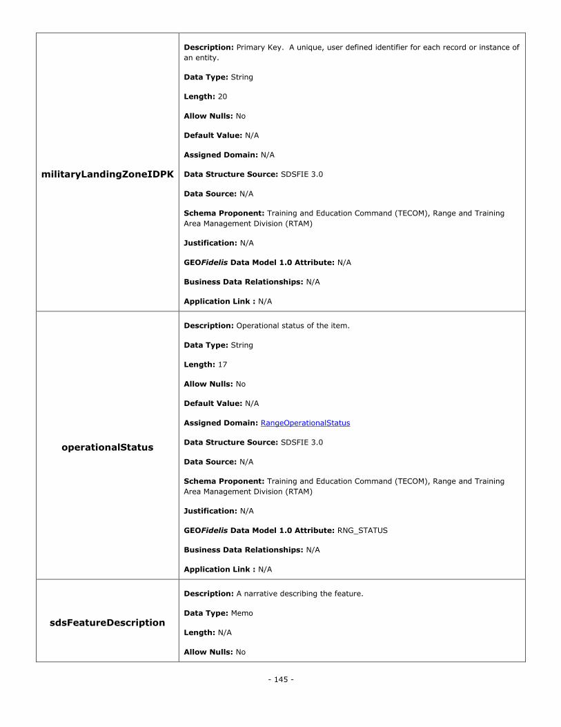
- 145 -
militaryLandingZoneIDPK
Description: Primary Key. A unique, user defined identifier for each record or instance of
an entity.
Data Type: String
Length: 20
Allow Nulls: No
Default Value: N/A
Assigned Domain: N/A
Data Structure Source: SDSFIE 3.0
Data Source: N/A
Schema Proponent: Training and Education Command (TECOM), Range and Training
Area Management Division (RTAM)
Justification: N/A
GEOFidelis Data Model 1.0 Attribute: N/A
Business Data Relationships: N/A
Application Link : N/A
operationalStatus
Description: Operational status of the item.
Data Type: String
Length: 17
Allow Nulls: No
Default Value: N/A
Assigned Domain: RangeOperationalStatus
Data Structure Source: SDSFIE 3.0
Data Source: N/A
Schema Proponent: Training and Education Command (TECOM), Range and Training
Area Management Division (RTAM)
Justification: N/A
GEOFidelis Data Model 1.0 Attribute: RNG_STATUS
Business Data Relationships: N/A
Application Link : N/A
sdsFeatureDescription
Description: A narrative describing the feature.
Data Type: Memo
Length: N/A
Allow Nulls: No

- 146 -
Default Value: N/A
Assigned Domain: N/A
Data Structure Source: SDSFIE 3.0
Data Source: N/A
Schema Proponent: Training and Education Command (TECOM), Range and Training
Area Management Division (RTAM)
Justification: N/A
GEOFidelis Data Model 1.0 Attribute: N/A
Business Data Relationships: N/A
Application Link : N/A
sdsFeatureName
Description: The common name of the feature.
Data Type: String
Length: 80
Allow Nulls: No
Default Value: N/A
Assigned Domain: N/A
Data Structure Source: SDSFIE 3.0
Data Source: N/A
Schema Proponent: Training and Education Command (TECOM), Range and Training
Area Management Division (RTAM)
Justification: N/A
GEOFidelis Data Model 1.0 Attribute: FEAT_NAME
Business Data Relationships: N/A
Application Link : N/A
sdsID
Description: A unique identifier for all features and objects in the SDSFIE.
Data Type: GUID
Length: N/A
Allow Nulls: No
Default Value: N/A
Assigned Domain: N/A
Data Structure Source: SDSFIE 3.0
Data Source: N/A
Schema Proponent: Training and Education Command (TECOM), Range and Training
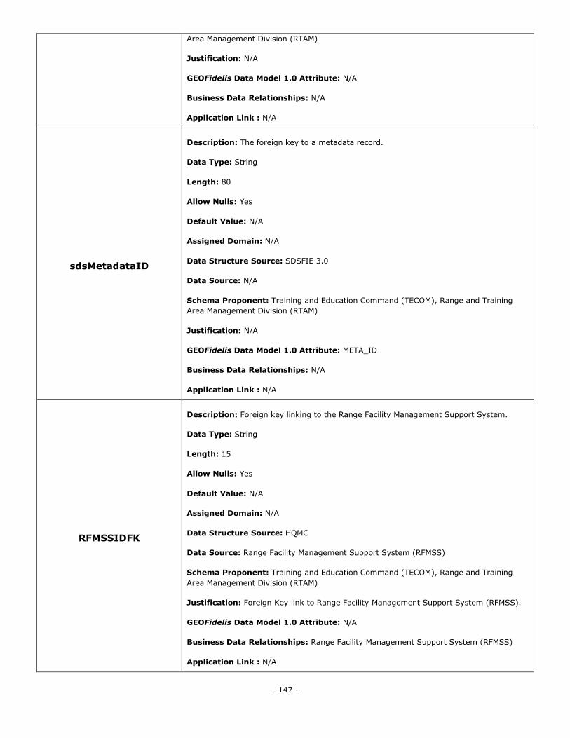
- 147 -
Area Management Division (RTAM)
Justification: N/A
GEOFidelis Data Model 1.0 Attribute: N/A
Business Data Relationships: N/A
Application Link : N/A
sdsMetadataID
Description: The foreign key to a metadata record.
Data Type: String
Length: 80
Allow Nulls: Yes
Default Value: N/A
Assigned Domain: N/A
Data Structure Source: SDSFIE 3.0
Data Source: N/A
Schema Proponent: Training and Education Command (TECOM), Range and Training
Area Management Division (RTAM)
Justification: N/A
GEOFidelis Data Model 1.0 Attribute: META_ID
Business Data Relationships: N/A
Application Link : N/A
RFMSSIDFK
Description: Foreign key linking to the Range Facility Management Support System.
Data Type: String
Length: 15
Allow Nulls: Yes
Default Value: N/A
Assigned Domain: N/A
Data Structure Source: HQMC
Data Source: Range Facility Management Support System (RFMSS)
Schema Proponent: Training and Education Command (TECOM), Range and Training
Area Management Division (RTAM)
Justification: Foreign Key link to Range Facility Management Support System (RFMSS).
GEOFidelis Data Model 1.0 Attribute: N/A
Business Data Relationships: Range Facility Management Support System (RFMSS)
Application Link : N/A
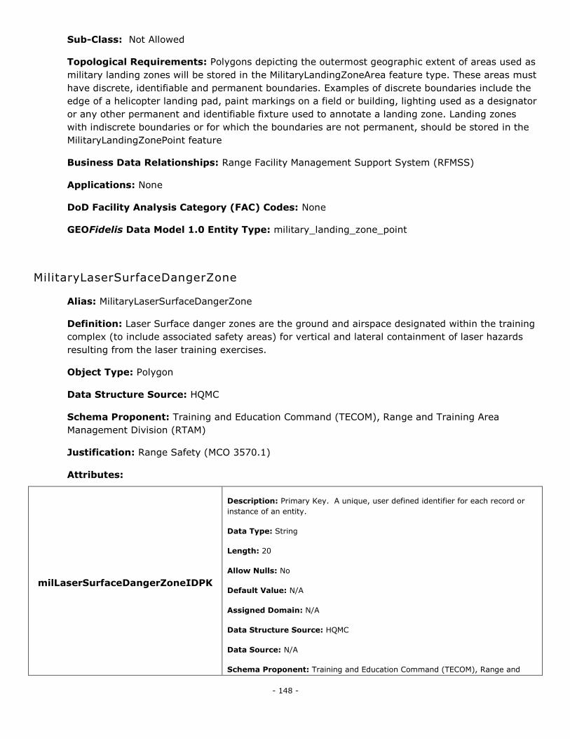
- 148 -
Sub-Class: Not Allowed
Topological Requirements: Polygons depicting the outermost geographic extent of areas used as
military landing zones will be stored in the MilitaryLandingZoneArea feature type. These areas must
have discrete, identifiable and permanent boundaries. Examples of discrete boundaries include the
edge of a helicopter landing pad, paint markings on a field or building, lighting used as a designator
or any other permanent and identifiable fixture used to annotate a landing zone. Landing zones
with indiscrete boundaries or for which the boundaries are not permanent, should be stored in the
MilitaryLandingZonePoint feature
Business Data Relationships: Range Facility Management Support System (RFMSS)
Applications: None
DoD Facility Analysis Category (FAC) Codes: None
GEOFidelis Data Model 1.0 Entity Type: military_landing_zone_point
MilitaryLaserSurfaceDangerZone
Alias: MilitaryLaserSurfaceDangerZone
Definition: Laser Surface danger zones are the ground and airspace designated within the training
complex (to include associated safety areas) for vertical and lateral containment of laser hazards
resulting from the laser training exercises.
Object Type: Polygon
Data Structure Source: HQMC
Schema Proponent: Training and Education Command (TECOM), Range and Training Area
Management Division (RTAM)
Justification: Range Safety (MCO 3570.1)
Attributes:
milLaserSurfaceDangerZoneIDPK
Description: Primary Key. A unique, user defined identifier for each record or
instance of an entity.
Data Type: String
Length: 20
Allow Nulls: No
Default Value: N/A
Assigned Domain: N/A
Data Structure Source: HQMC
Data Source: N/A
Schema Proponent: Training and Education Command (TECOM), Range and
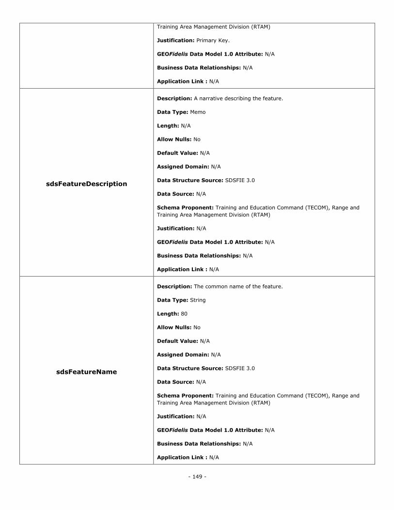
- 149 -
Training Area Management Division (RTAM)
Justification: Primary Key.
GEOFidelis Data Model 1.0 Attribute: N/A
Business Data Relationships: N/A
Application Link : N/A
sdsFeatureDescription
Description: A narrative describing the feature.
Data Type: Memo
Length: N/A
Allow Nulls: No
Default Value: N/A
Assigned Domain: N/A
Data Structure Source: SDSFIE 3.0
Data Source: N/A
Schema Proponent: Training and Education Command (TECOM), Range and
Training Area Management Division (RTAM)
Justification: N/A
GEOFidelis Data Model 1.0 Attribute: N/A
Business Data Relationships: N/A
Application Link : N/A
sdsFeatureName
Description: The common name of the feature.
Data Type: String
Length: 80
Allow Nulls: No
Default Value: N/A
Assigned Domain: N/A
Data Structure Source: SDSFIE 3.0
Data Source: N/A
Schema Proponent: Training and Education Command (TECOM), Range and
Training Area Management Division (RTAM)
Justification: N/A
GEOFidelis Data Model 1.0 Attribute: N/A
Business Data Relationships: N/A
Application Link : N/A
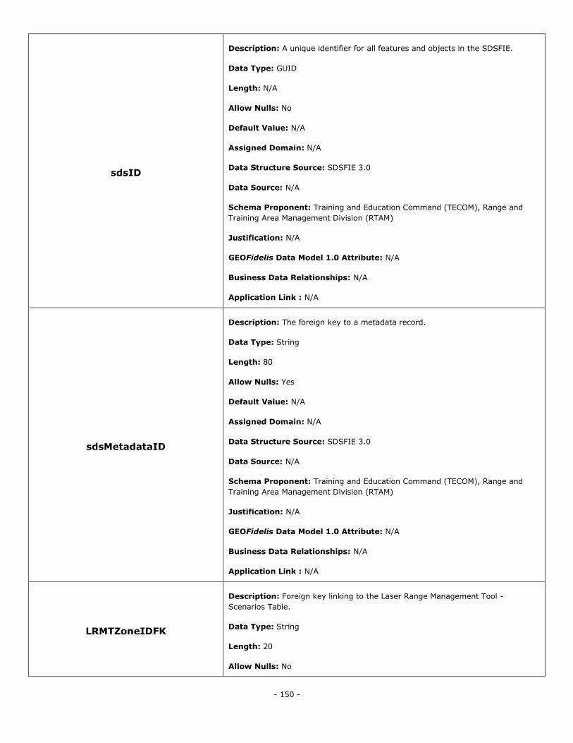
- 150 -
sdsID
Description: A unique identifier for all features and objects in the SDSFIE.
Data Type: GUID
Length: N/A
Allow Nulls: No
Default Value: N/A
Assigned Domain: N/A
Data Structure Source: SDSFIE 3.0
Data Source: N/A
Schema Proponent: Training and Education Command (TECOM), Range and
Training Area Management Division (RTAM)
Justification: N/A
GEOFidelis Data Model 1.0 Attribute: N/A
Business Data Relationships: N/A
Application Link : N/A
sdsMetadataID
Description: The foreign key to a metadata record.
Data Type: String
Length: 80
Allow Nulls: Yes
Default Value: N/A
Assigned Domain: N/A
Data Structure Source: SDSFIE 3.0
Data Source: N/A
Schema Proponent: Training and Education Command (TECOM), Range and
Training Area Management Division (RTAM)
Justification: N/A
GEOFidelis Data Model 1.0 Attribute: N/A
Business Data Relationships: N/A
Application Link : N/A
LRMTZoneIDFK
Description: Foreign key linking to the Laser Range Management Tool -
Scenarios Table.
Data Type: String
Length: 20
Allow Nulls: No
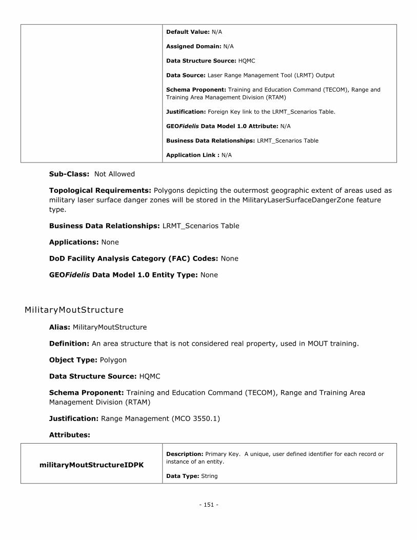
- 151 -
Default Value: N/A
Assigned Domain: N/A
Data Structure Source: HQMC
Data Source: Laser Range Management Tool (LRMT) Output
Schema Proponent: Training and Education Command (TECOM), Range and
Training Area Management Division (RTAM)
Justification: Foreign Key link to the LRMT_Scenarios Table.
GEOFidelis Data Model 1.0 Attribute: N/A
Business Data Relationships: LRMT_Scenarios Table
Application Link : N/A
Sub-Class: Not Allowed
Topological Requirements: Polygons depicting the outermost geographic extent of areas used as
military laser surface danger zones will be stored in the MilitaryLaserSurfaceDangerZone feature
type.
Business Data Relationships: LRMT_Scenarios Table
Applications: None
DoD Facility Analysis Category (FAC) Codes: None
GEOFidelis Data Model 1.0 Entity Type: None
MilitaryMoutStructure
Alias: MilitaryMoutStructure
Definition: An area structure that is not considered real property, used in MOUT training.
Object Type: Polygon
Data Structure Source: HQMC
Schema Proponent: Training and Education Command (TECOM), Range and Training Area
Management Division (RTAM)
Justification: Range Management (MCO 3550.1)
Attributes:
militaryMoutStructureIDPK
Description: Primary Key. A unique, user defined identifier for each record or
instance of an entity.
Data Type: String
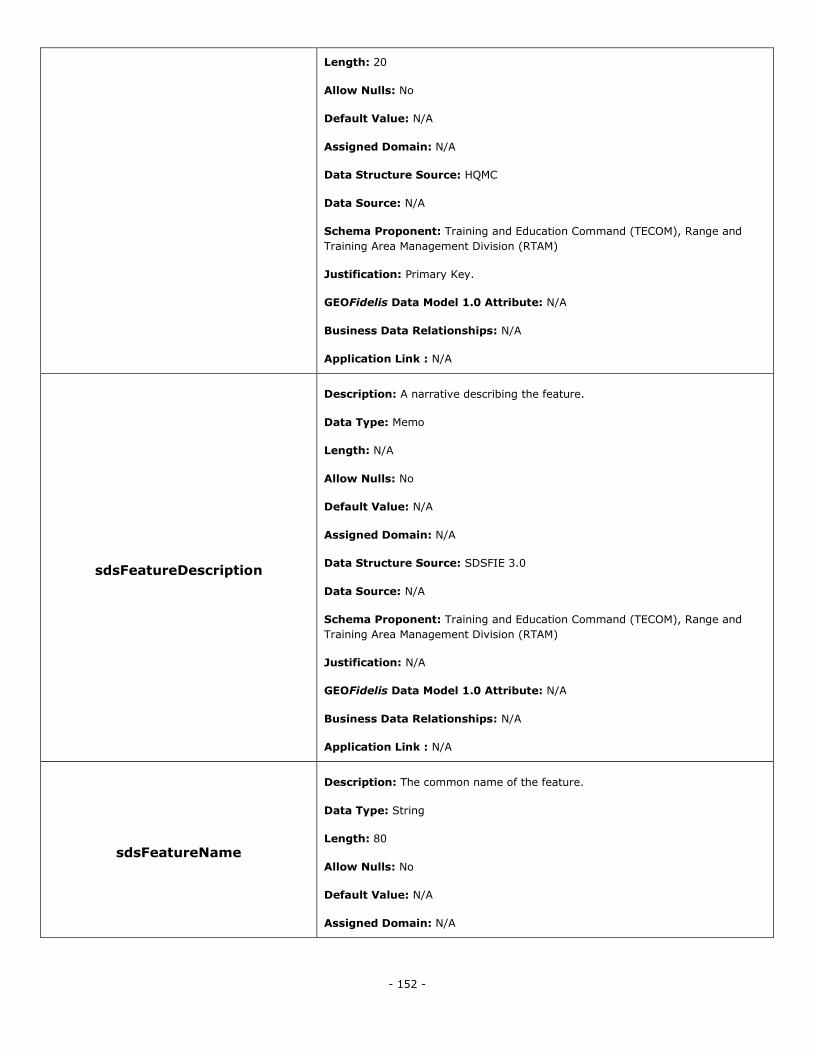
- 152 -
Length: 20
Allow Nulls: No
Default Value: N/A
Assigned Domain: N/A
Data Structure Source: HQMC
Data Source: N/A
Schema Proponent: Training and Education Command (TECOM), Range and
Training Area Management Division (RTAM)
Justification: Primary Key.
GEOFidelis Data Model 1.0 Attribute: N/A
Business Data Relationships: N/A
Application Link : N/A
sdsFeatureDescription
Description: A narrative describing the feature.
Data Type: Memo
Length: N/A
Allow Nulls: No
Default Value: N/A
Assigned Domain: N/A
Data Structure Source: SDSFIE 3.0
Data Source: N/A
Schema Proponent: Training and Education Command (TECOM), Range and
Training Area Management Division (RTAM)
Justification: N/A
GEOFidelis Data Model 1.0 Attribute: N/A
Business Data Relationships: N/A
Application Link : N/A
sdsFeatureName
Description: The common name of the feature.
Data Type: String
Length: 80
Allow Nulls: No
Default Value: N/A
Assigned Domain: N/A
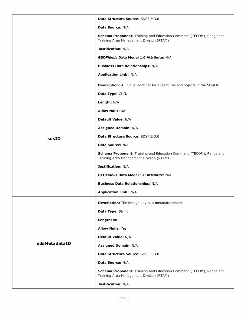
- 153 -
Data Structure Source: SDSFIE 3.0
Data Source: N/A
Schema Proponent: Training and Education Command (TECOM), Range and
Training Area Management Division (RTAM)
Justification: N/A
GEOFidelis Data Model 1.0 Attribute: N/A
Business Data Relationships: N/A
Application Link : N/A
sdsID
Description: A unique identifier for all features and objects in the SDSFIE.
Data Type: GUID
Length: N/A
Allow Nulls: No
Default Value: N/A
Assigned Domain: N/A
Data Structure Source: SDSFIE 3.0
Data Source: N/A
Schema Proponent: Training and Education Command (TECOM), Range and
Training Area Management Division (RTAM)
Justification: N/A
GEOFidelis Data Model 1.0 Attribute: N/A
Business Data Relationships: N/A
Application Link : N/A
sdsMetadataID
Description: The foreign key to a metadata record.
Data Type: String
Length: 80
Allow Nulls: Yes
Default Value: N/A
Assigned Domain: N/A
Data Structure Source: SDSFIE 3.0
Data Source: N/A
Schema Proponent: Training and Education Command (TECOM), Range and
Training Area Management Division (RTAM)
Justification: N/A
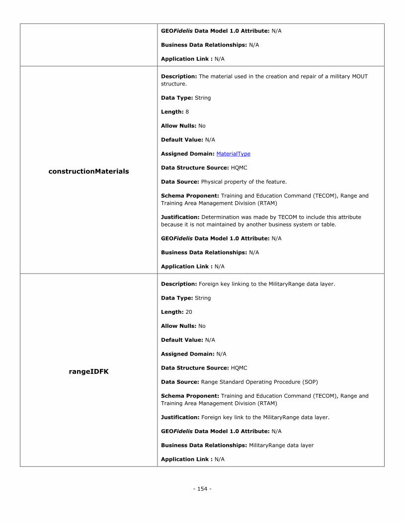
- 154 -
GEOFidelis Data Model 1.0 Attribute: N/A
Business Data Relationships: N/A
Application Link : N/A
constructionMaterials
Description: The material used in the creation and repair of a military MOUT
structure.
Data Type: String
Length: 8
Allow Nulls: No
Default Value: N/A
Assigned Domain: MaterialType
Data Structure Source: HQMC
Data Source: Physical property of the feature.
Schema Proponent: Training and Education Command (TECOM), Range and
Training Area Management Division (RTAM)
Justification: Determination was made by TECOM to include this attribute
because it is not maintained by another business system or table.
GEOFidelis Data Model 1.0 Attribute: N/A
Business Data Relationships: N/A
Application Link : N/A
rangeIDFK
Description: Foreign key linking to the MilitaryRange data layer.
Data Type: String
Length: 20
Allow Nulls: No
Default Value: N/A
Assigned Domain: N/A
Data Structure Source: HQMC
Data Source: Range Standard Operating Procedure (SOP)
Schema Proponent: Training and Education Command (TECOM), Range and
Training Area Management Division (RTAM)
Justification: Foreign key link to the MilitaryRange data layer.
GEOFidelis Data Model 1.0 Attribute: N/A
Business Data Relationships: MilitaryRange data layer
Application Link : N/A
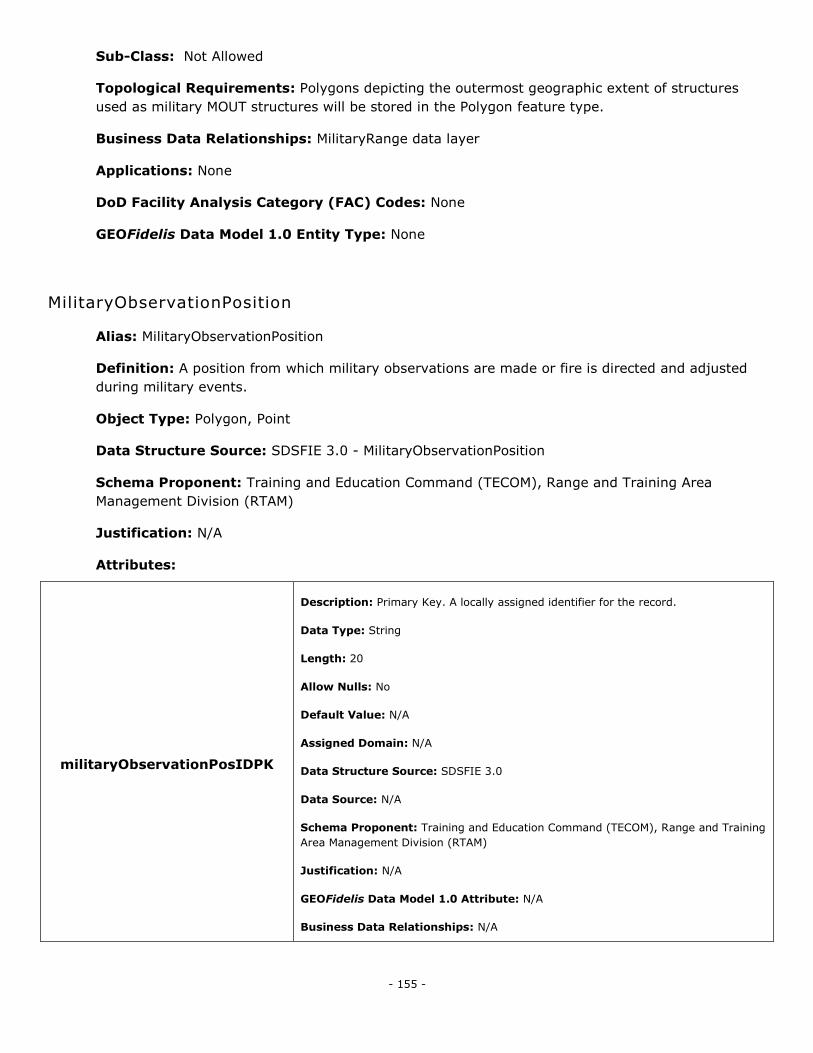
- 155 -
Sub-Class: Not Allowed
Topological Requirements: Polygons depicting the outermost geographic extent of structures
used as military MOUT structures will be stored in the Polygon feature type.
Business Data Relationships: MilitaryRange data layer
Applications: None
DoD Facility Analysis Category (FAC) Codes: None
GEOFidelis Data Model 1.0 Entity Type: None
MilitaryObservationPosition
Alias: MilitaryObservationPosition
Definition: A position from which military observations are made or fire is directed and adjusted
during military events.
Object Type: Polygon, Point
Data Structure Source: SDSFIE 3.0 - MilitaryObservationPosition
Schema Proponent: Training and Education Command (TECOM), Range and Training Area
Management Division (RTAM)
Justification: N/A
Attributes:
militaryObservationPosIDPK
Description: Primary Key. A locally assigned identifier for the record.
Data Type: String
Length: 20
Allow Nulls: No
Default Value: N/A
Assigned Domain: N/A
Data Structure Source: SDSFIE 3.0
Data Source: N/A
Schema Proponent: Training and Education Command (TECOM), Range and Training
Area Management Division (RTAM)
Justification: N/A
GEOFidelis Data Model 1.0 Attribute: N/A
Business Data Relationships: N/A
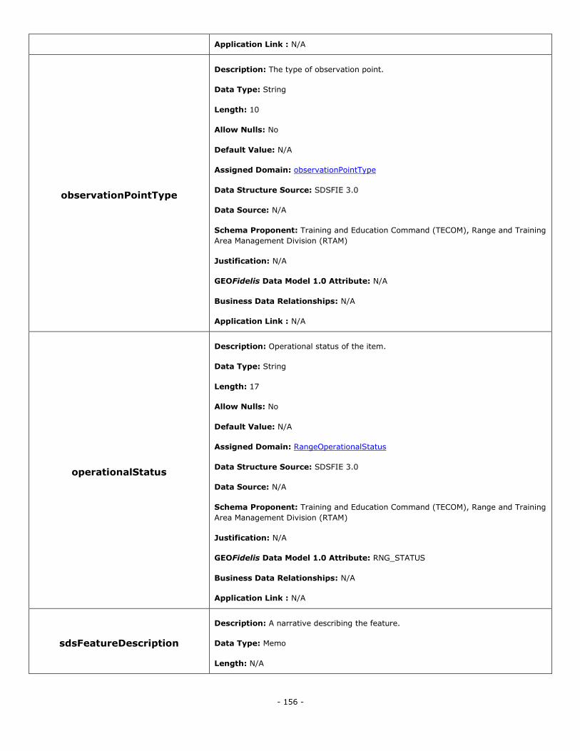
- 156 -
Application Link : N/A
observationPointType
Description: The type of observation point.
Data Type: String
Length: 10
Allow Nulls: No
Default Value: N/A
Assigned Domain: observationPointType
Data Structure Source: SDSFIE 3.0
Data Source: N/A
Schema Proponent: Training and Education Command (TECOM), Range and Training
Area Management Division (RTAM)
Justification: N/A
GEOFidelis Data Model 1.0 Attribute: N/A
Business Data Relationships: N/A
Application Link : N/A
operationalStatus
Description: Operational status of the item.
Data Type: String
Length: 17
Allow Nulls: No
Default Value: N/A
Assigned Domain: RangeOperationalStatus
Data Structure Source: SDSFIE 3.0
Data Source: N/A
Schema Proponent: Training and Education Command (TECOM), Range and Training
Area Management Division (RTAM)
Justification: N/A
GEOFidelis Data Model 1.0 Attribute: RNG_STATUS
Business Data Relationships: N/A
Application Link : N/A
sdsFeatureDescription
Description: A narrative describing the feature.
Data Type: Memo
Length: N/A
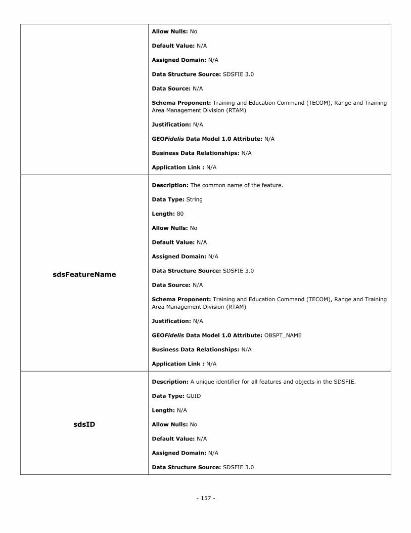
- 157 -
Allow Nulls: No
Default Value: N/A
Assigned Domain: N/A
Data Structure Source: SDSFIE 3.0
Data Source: N/A
Schema Proponent: Training and Education Command (TECOM), Range and Training
Area Management Division (RTAM)
Justification: N/A
GEOFidelis Data Model 1.0 Attribute: N/A
Business Data Relationships: N/A
Application Link : N/A
sdsFeatureName
Description: The common name of the feature.
Data Type: String
Length: 80
Allow Nulls: No
Default Value: N/A
Assigned Domain: N/A
Data Structure Source: SDSFIE 3.0
Data Source: N/A
Schema Proponent: Training and Education Command (TECOM), Range and Training
Area Management Division (RTAM)
Justification: N/A
GEOFidelis Data Model 1.0 Attribute: OBSPT_NAME
Business Data Relationships: N/A
Application Link : N/A
sdsID
Description: A unique identifier for all features and objects in the SDSFIE.
Data Type: GUID
Length: N/A
Allow Nulls: No
Default Value: N/A
Assigned Domain: N/A
Data Structure Source: SDSFIE 3.0
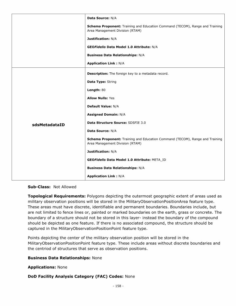
- 158 -
Data Source: N/A
Schema Proponent: Training and Education Command (TECOM), Range and Training
Area Management Division (RTAM)
Justification: N/A
GEOFidelis Data Model 1.0 Attribute: N/A
Business Data Relationships: N/A
Application Link : N/A
sdsMetadataID
Description: The foreign key to a metadata record.
Data Type: String
Length: 80
Allow Nulls: Yes
Default Value: N/A
Assigned Domain: N/A
Data Structure Source: SDSFIE 3.0
Data Source: N/A
Schema Proponent: Training and Education Command (TECOM), Range and Training
Area Management Division (RTAM)
Justification: N/A
GEOFidelis Data Model 1.0 Attribute: META_ID
Business Data Relationships: N/A
Application Link : N/A
Sub-Class: Not Allowed
Topological Requirements: Polygons depicting the outermost geographic extent of areas used as
military observation positions will be stored in the MilitaryObservationPositionArea feature type.
These areas must have discrete, identifiable and permanent boundaries. Boundaries include, but
are not limited to fence lines or, painted or marked boundaries on the earth, grass or concrete. The
boundary of a structure should not be stored in this layer- instead the boundary of the compound
should be depicted as one feature. If there is no associated compound, the structure should be
captured in the MilitaryObservationPositionPoint feature type.
Points depicting the center of the military observation position will be stored in the
MilitaryObservationPositionPoint feature type. These include areas without discrete boundaries and
the centriod of structures that serve as observation positions.
Business Data Relationships: None
Applications: None
DoD Facility Analysis Category (FAC) Codes: None
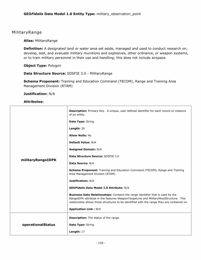
- 159 -
GEOFidelis Data Model 1.0 Entity Type: military_observation_point
MilitaryRange
Alias: MilitaryRange
Definition: A designated land or water area set aside, managed and used to conduct research on,
develop, test, and evaluate military munitions and explosives, other ordnance, or weapon systems,
or to train military personnel in their use and handling; this does not include airspace.
Object Type: Polygon
Data Structure Source: SDSFIE 3.0 - MilitaryRange
Schema Proponent: Training and Education Command (TECOM), Range and Training Area
Management Division (RTAM)
Justification: N/A
Attributes:
militaryRangeIDPK
Description: Primary Key. A unique, user defined identifier for each record or instance
of an entity.
Data Type: String
Length: 20
Allow Nulls: No
Default Value: N/A
Assigned Domain: N/A
Data Structure Source: SDSFIE 3.0
Data Source: N/A
Schema Proponent: Training and Education Command (TECOM), Range and Training
Area Management Division (RTAM)
Justification: N/A
GEOFidelis Data Model 1.0 Attribute: N/A
Business Data Relationships: Contains the range identifier that is used by the
RangeIDFK attribute in the features WeaponTargetLine and MilitaryMoutStructure. This
relationship allows those structures to be identified with the range they are contained on.
Application Link : N/A
operationalStatus
Description: The status of the range.
Data Type: String
Length: 17
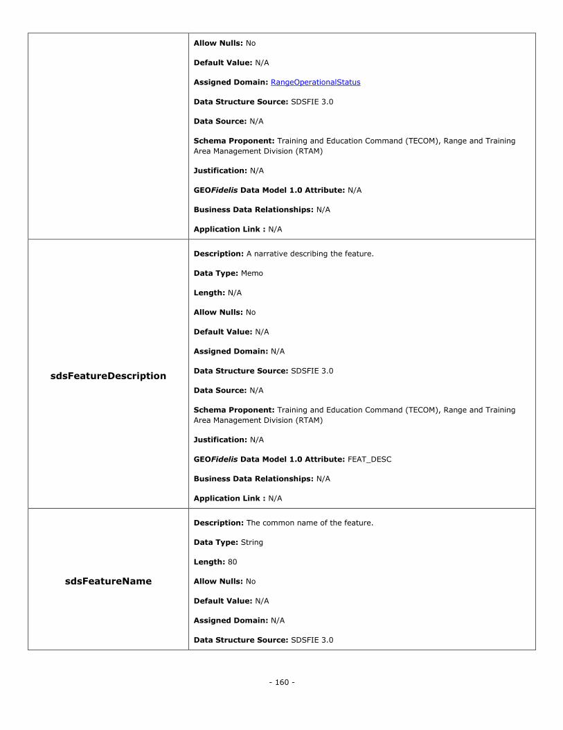
- 160 -
Allow Nulls: No
Default Value: N/A
Assigned Domain: RangeOperationalStatus
Data Structure Source: SDSFIE 3.0
Data Source: N/A
Schema Proponent: Training and Education Command (TECOM), Range and Training
Area Management Division (RTAM)
Justification: N/A
GEOFidelis Data Model 1.0 Attribute: N/A
Business Data Relationships: N/A
Application Link : N/A
sdsFeatureDescription
Description: A narrative describing the feature.
Data Type: Memo
Length: N/A
Allow Nulls: No
Default Value: N/A
Assigned Domain: N/A
Data Structure Source: SDSFIE 3.0
Data Source: N/A
Schema Proponent: Training and Education Command (TECOM), Range and Training
Area Management Division (RTAM)
Justification: N/A
GEOFidelis Data Model 1.0 Attribute: FEAT_DESC
Business Data Relationships: N/A
Application Link : N/A
sdsFeatureName
Description: The common name of the feature.
Data Type: String
Length: 80
Allow Nulls: No
Default Value: N/A
Assigned Domain: N/A
Data Structure Source: SDSFIE 3.0
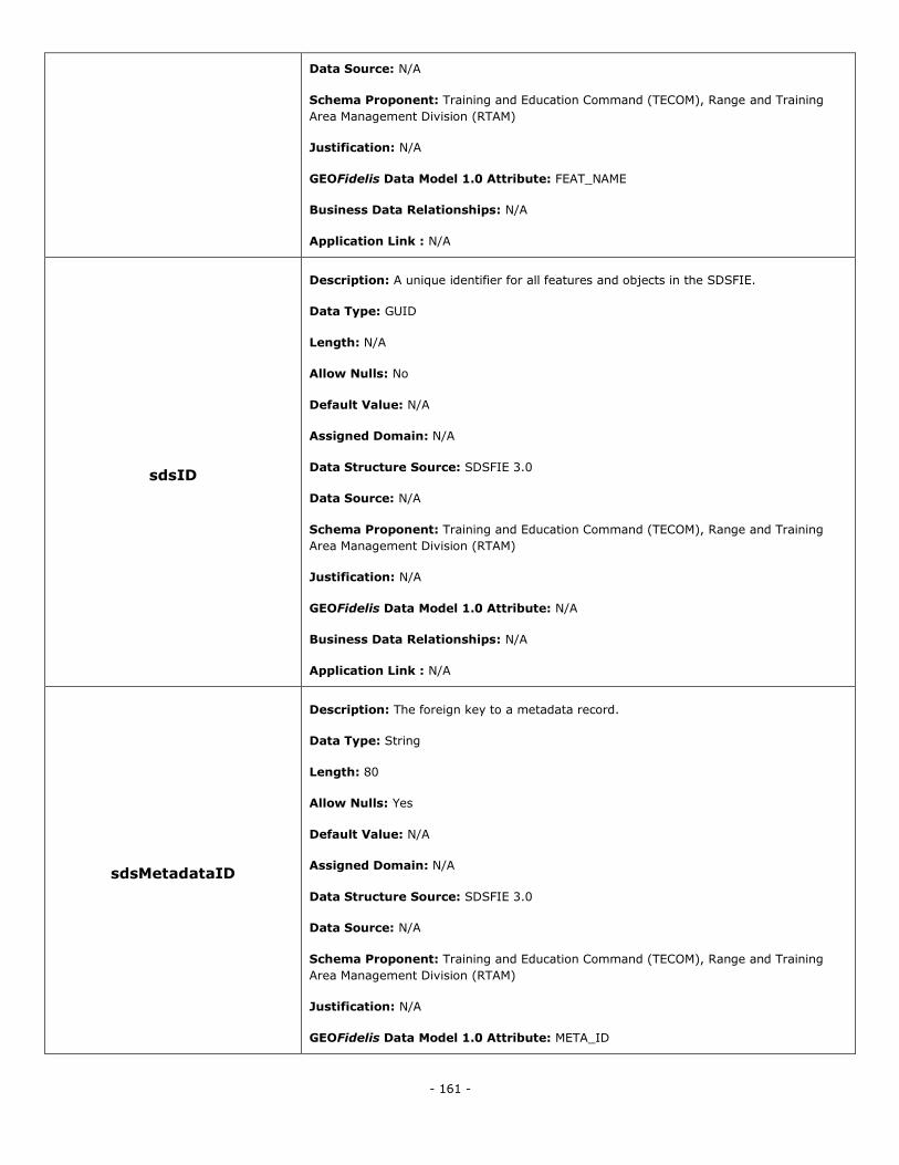
- 161 -
Data Source: N/A
Schema Proponent: Training and Education Command (TECOM), Range and Training
Area Management Division (RTAM)
Justification: N/A
GEOFidelis Data Model 1.0 Attribute: FEAT_NAME
Business Data Relationships: N/A
Application Link : N/A
sdsID
Description: A unique identifier for all features and objects in the SDSFIE.
Data Type: GUID
Length: N/A
Allow Nulls: No
Default Value: N/A
Assigned Domain: N/A
Data Structure Source: SDSFIE 3.0
Data Source: N/A
Schema Proponent: Training and Education Command (TECOM), Range and Training
Area Management Division (RTAM)
Justification: N/A
GEOFidelis Data Model 1.0 Attribute: N/A
Business Data Relationships: N/A
Application Link : N/A
sdsMetadataID
Description: The foreign key to a metadata record.
Data Type: String
Length: 80
Allow Nulls: Yes
Default Value: N/A
Assigned Domain: N/A
Data Structure Source: SDSFIE 3.0
Data Source: N/A
Schema Proponent: Training and Education Command (TECOM), Range and Training
Area Management Division (RTAM)
Justification: N/A
GEOFidelis Data Model 1.0 Attribute: META_ID
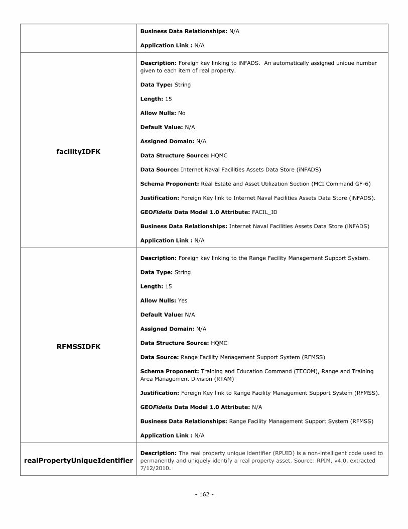
- 162 -
Business Data Relationships: N/A
Application Link : N/A
facilityIDFK
Description: Foreign key linking to iNFADS. An automatically assigned unique number
given to each item of real property.
Data Type: String
Length: 15
Allow Nulls: No
Default Value: N/A
Assigned Domain: N/A
Data Structure Source: HQMC
Data Source: Internet Naval Facilities Assets Data Store (iNFADS)
Schema Proponent: Real Estate and Asset Utilization Section (MCI Command GF-6)
Justification: Foreign Key link to Internet Naval Facilities Assets Data Store (iNFADS).
GEOFidelis Data Model 1.0 Attribute: FACIL_ID
Business Data Relationships: Internet Naval Facilities Assets Data Store (iNFADS)
Application Link : N/A
RFMSSIDFK
Description: Foreign key linking to the Range Facility Management Support System.
Data Type: String
Length: 15
Allow Nulls: Yes
Default Value: N/A
Assigned Domain: N/A
Data Structure Source: HQMC
Data Source: Range Facility Management Support System (RFMSS)
Schema Proponent: Training and Education Command (TECOM), Range and Training
Area Management Division (RTAM)
Justification: Foreign Key link to Range Facility Management Support System (RFMSS).
GEOFidelis Data Model 1.0 Attribute: N/A
Business Data Relationships: Range Facility Management Support System (RFMSS)
Application Link : N/A
realPropertyUniqueIdentifier Description: The real property unique identifier (RPUID) is a non-intelligent code used to
permanently and uniquely identify a real property asset. Source: RPIM, v4.0, extracted
7/12/2010.
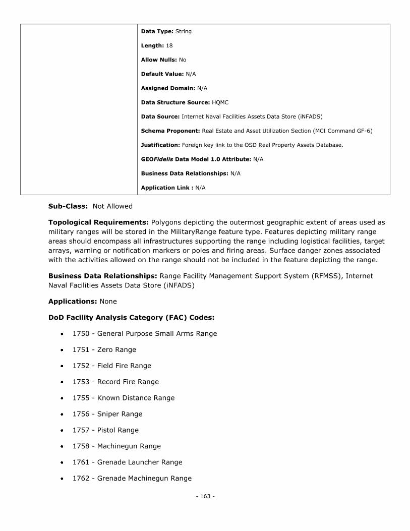
- 163 -
Data Type: String
Length: 18
Allow Nulls: No
Default Value: N/A
Assigned Domain: N/A
Data Structure Source: HQMC
Data Source: Internet Naval Facilities Assets Data Store (iNFADS)
Schema Proponent: Real Estate and Asset Utilization Section (MCI Command GF-6)
Justification: Foreign key link to the OSD Real Property Assets Database.
GEOFidelis Data Model 1.0 Attribute: N/A
Business Data Relationships: N/A
Application Link : N/A
Sub-Class: Not Allowed
Topological Requirements: Polygons depicting the outermost geographic extent of areas used as
military ranges will be stored in the MilitaryRange feature type. Features depicting military range
areas should encompass all infrastructures supporting the range including logistical facilities, target
arrays, warning or notification markers or poles and firing areas. Surface danger zones associated
with the activities allowed on the range should not be included in the feature depicting the range.
Business Data Relationships: Range Facility Management Support System (RFMSS), Internet
Naval Facilities Assets Data Store (iNFADS)
Applications: None
DoD Facility Analysis Category (FAC) Codes:
1750 - General Purpose Small Arms Range
1751 - Zero Range
1752 - Field Fire Range
1753 - Record Fire Range
1755 - Known Distance Range
1756 - Sniper Range
1757 - Pistol Range
1758 - Machinegun Range
1761 - Grenade Launcher Range
1762 - Grenade Machinegun Range
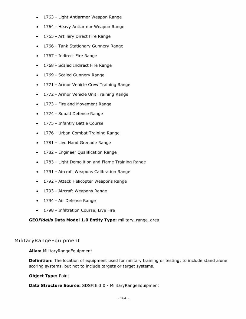
- 164 -
1763 - Light Antiarmor Weapon Range
1764 - Heavy Antiarmor Weapon Range
1765 - Artillery Direct Fire Range
1766 - Tank Stationary Gunnery Range
1767 - Indirect Fire Range
1768 - Scaled Indirect Fire Range
1769 - Scaled Gunnery Range
1771 - Armor Vehicle Crew Training Range
1772 - Armor Vehicle Unit Training Range
1773 - Fire and Movement Range
1774 - Squad Defense Range
1775 - Infantry Battle Course
1776 - Urban Combat Training Range
1781 - Live Hand Grenade Range
1782 - Engineer Qualification Range
1783 - Light Demolition and Flame Training Range
1791 - Aircraft Weapons Calibration Range
1792 - Attack Helicopter Weapons Range
1793 - Aircraft Weapons Range
1794 - Air Defense Range
1798 - Infiltration Course, Live Fire
GEOFidelis Data Model 1.0 Entity Type: military_range_area
MilitaryRangeEquipment
Alias: MilitaryRangeEquipment
Definition: The location of equipment used for military training or testing; to include stand alone
scoring systems, but not to include targets or target systems.
Object Type: Point
Data Structure Source: SDSFIE 3.0 - MilitaryRangeEquipment
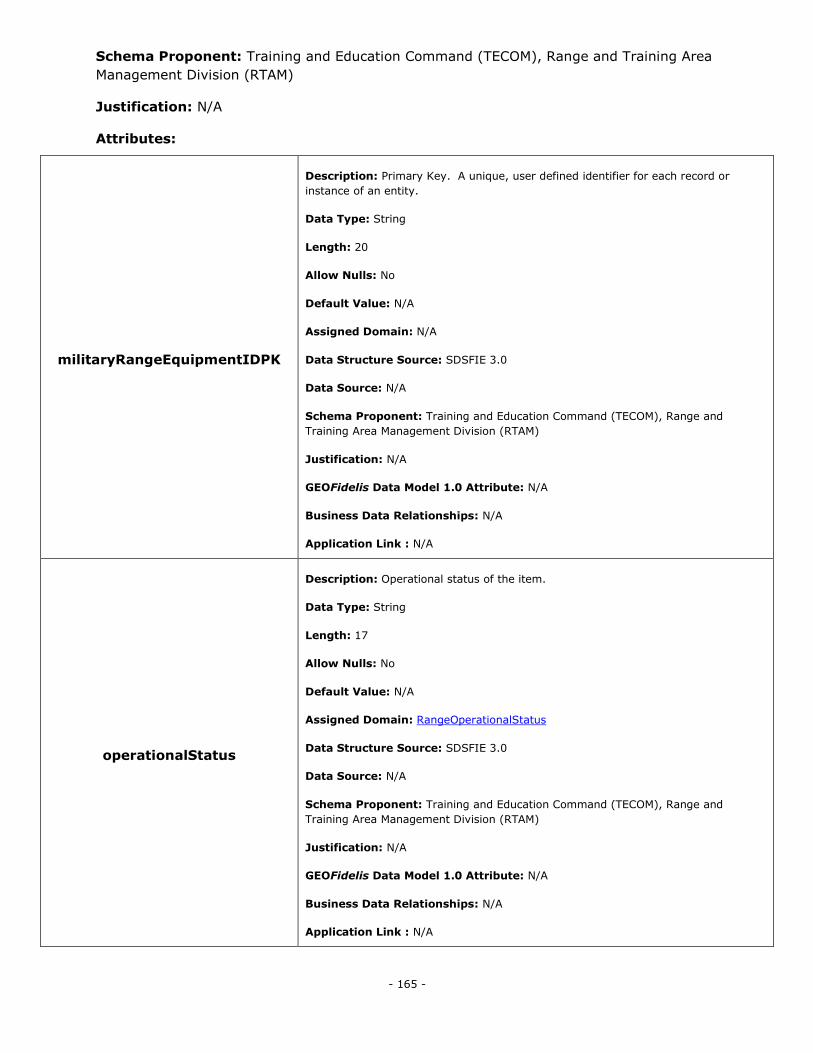
- 165 -
Schema Proponent: Training and Education Command (TECOM), Range and Training Area
Management Division (RTAM)
Justification: N/A
Attributes:
militaryRangeEquipmentIDPK
Description: Primary Key. A unique, user defined identifier for each record or
instance of an entity.
Data Type: String
Length: 20
Allow Nulls: No
Default Value: N/A
Assigned Domain: N/A
Data Structure Source: SDSFIE 3.0
Data Source: N/A
Schema Proponent: Training and Education Command (TECOM), Range and
Training Area Management Division (RTAM)
Justification: N/A
GEOFidelis Data Model 1.0 Attribute: N/A
Business Data Relationships: N/A
Application Link : N/A
operationalStatus
Description: Operational status of the item.
Data Type: String
Length: 17
Allow Nulls: No
Default Value: N/A
Assigned Domain: RangeOperationalStatus
Data Structure Source: SDSFIE 3.0
Data Source: N/A
Schema Proponent: Training and Education Command (TECOM), Range and
Training Area Management Division (RTAM)
Justification: N/A
GEOFidelis Data Model 1.0 Attribute: N/A
Business Data Relationships: N/A
Application Link : N/A
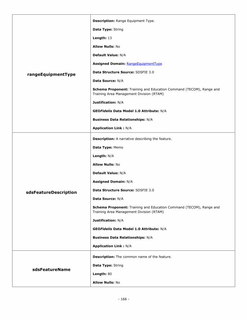
- 166 -
rangeEquipmentType
Description: Range Equipment Type.
Data Type: String
Length: 13
Allow Nulls: No
Default Value: N/A
Assigned Domain: RangeEquipmentType
Data Structure Source: SDSFIE 3.0
Data Source: N/A
Schema Proponent: Training and Education Command (TECOM), Range and
Training Area Management Division (RTAM)
Justification: N/A
GEOFidelis Data Model 1.0 Attribute: N/A
Business Data Relationships: N/A
Application Link : N/A
sdsFeatureDescription
Description: A narrative describing the feature.
Data Type: Memo
Length: N/A
Allow Nulls: No
Default Value: N/A
Assigned Domain: N/A
Data Structure Source: SDSFIE 3.0
Data Source: N/A
Schema Proponent: Training and Education Command (TECOM), Range and
Training Area Management Division (RTAM)
Justification: N/A
GEOFidelis Data Model 1.0 Attribute: N/A
Business Data Relationships: N/A
Application Link : N/A
sdsFeatureName
Description: The common name of the feature.
Data Type: String
Length: 80
Allow Nulls: No

- 167 -
Default Value: N/A
Assigned Domain: N/A
Data Structure Source: SDSFIE 3.0
Data Source: N/A
Schema Proponent: Training and Education Command (TECOM), Range and
Training Area Management Division (RTAM)
Justification: N/A
GEOFidelis Data Model 1.0 Attribute: N/A
Business Data Relationships: N/A
Application Link : N/A
sdsID
Description: A unique identifier for all features and objects in the SDSFIE.
Data Type: GUID
Length: N/A
Allow Nulls: No
Default Value: N/A
Assigned Domain: N/A
Data Structure Source: SDSFIE 3.0
Data Source: N/A
Schema Proponent: Training and Education Command (TECOM), Range and
Training Area Management Division (RTAM)
Justification: N/A
GEOFidelis Data Model 1.0 Attribute: N/A
Business Data Relationships: N/A
Application Link : N/A
sdsMetadataID
Description: The foreign key to a metadata record.
Data Type: String
Length: 80
Allow Nulls: Yes
Default Value: N/A
Assigned Domain: N/A
Data Structure Source: SDSFIE 3.0
Data Source: N/A
Schema Proponent: Training and Education Command (TECOM), Range and
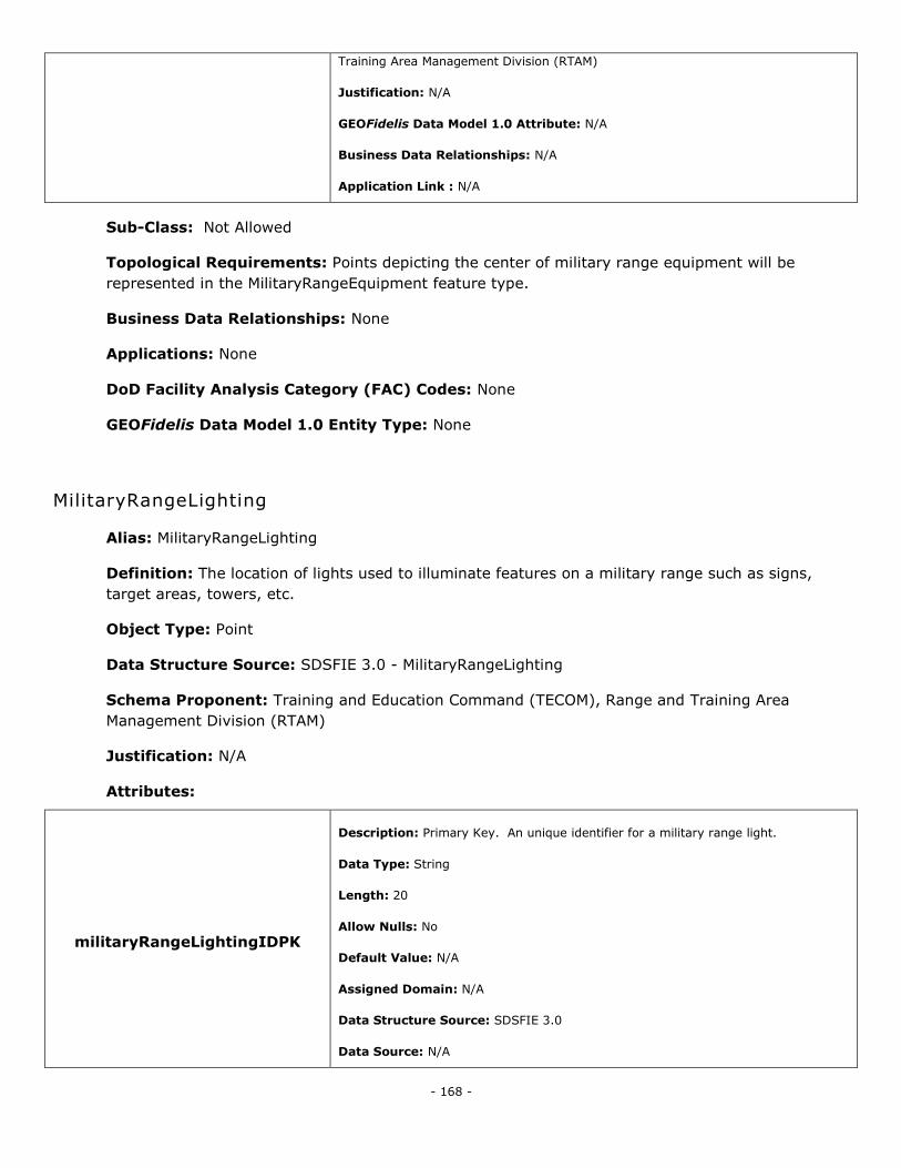
- 168 -
Training Area Management Division (RTAM)
Justification: N/A
GEOFidelis Data Model 1.0 Attribute: N/A
Business Data Relationships: N/A
Application Link : N/A
Sub-Class: Not Allowed
Topological Requirements: Points depicting the center of military range equipment will be
represented in the MilitaryRangeEquipment feature type.
Business Data Relationships: None
Applications: None
DoD Facility Analysis Category (FAC) Codes: None
GEOFidelis Data Model 1.0 Entity Type: None
MilitaryRangeLighting
Alias: MilitaryRangeLighting
Definition: The location of lights used to illuminate features on a military range such as signs,
target areas, towers, etc.
Object Type: Point
Data Structure Source: SDSFIE 3.0 - MilitaryRangeLighting
Schema Proponent: Training and Education Command (TECOM), Range and Training Area
Management Division (RTAM)
Justification: N/A
Attributes:
militaryRangeLightingIDPK
Description: Primary Key. An unique identifier for a military range light.
Data Type: String
Length: 20
Allow Nulls: No
Default Value: N/A
Assigned Domain: N/A
Data Structure Source: SDSFIE 3.0
Data Source: N/A
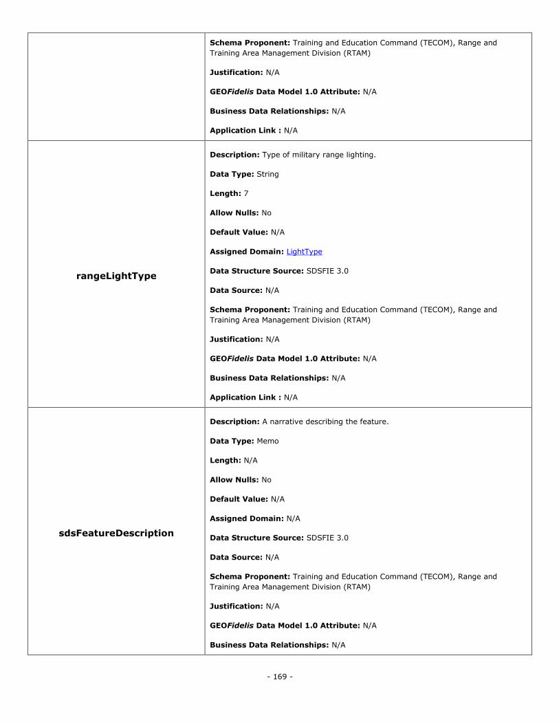
- 169 -
Schema Proponent: Training and Education Command (TECOM), Range and
Training Area Management Division (RTAM)
Justification: N/A
GEOFidelis Data Model 1.0 Attribute: N/A
Business Data Relationships: N/A
Application Link : N/A
rangeLightType
Description: Type of military range lighting.
Data Type: String
Length: 7
Allow Nulls: No
Default Value: N/A
Assigned Domain: LightType
Data Structure Source: SDSFIE 3.0
Data Source: N/A
Schema Proponent: Training and Education Command (TECOM), Range and
Training Area Management Division (RTAM)
Justification: N/A
GEOFidelis Data Model 1.0 Attribute: N/A
Business Data Relationships: N/A
Application Link : N/A
sdsFeatureDescription
Description: A narrative describing the feature.
Data Type: Memo
Length: N/A
Allow Nulls: No
Default Value: N/A
Assigned Domain: N/A
Data Structure Source: SDSFIE 3.0
Data Source: N/A
Schema Proponent: Training and Education Command (TECOM), Range and
Training Area Management Division (RTAM)
Justification: N/A
GEOFidelis Data Model 1.0 Attribute: N/A
Business Data Relationships: N/A
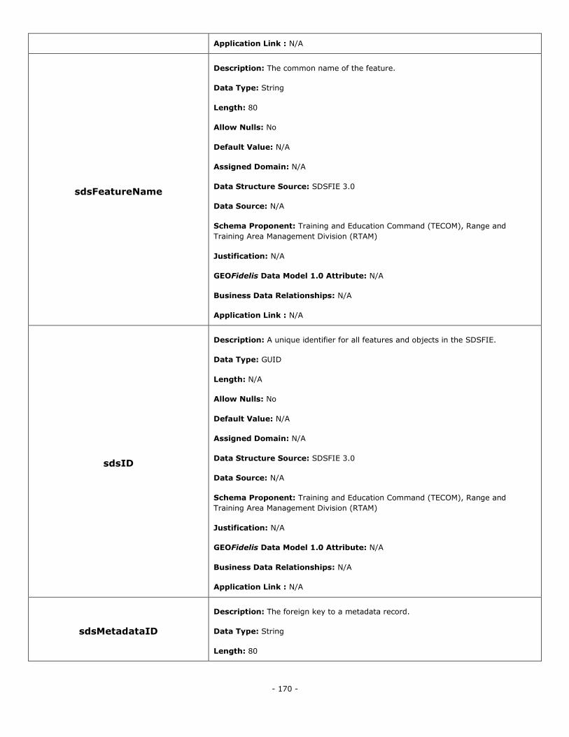
- 170 -
Application Link : N/A
sdsFeatureName
Description: The common name of the feature.
Data Type: String
Length: 80
Allow Nulls: No
Default Value: N/A
Assigned Domain: N/A
Data Structure Source: SDSFIE 3.0
Data Source: N/A
Schema Proponent: Training and Education Command (TECOM), Range and
Training Area Management Division (RTAM)
Justification: N/A
GEOFidelis Data Model 1.0 Attribute: N/A
Business Data Relationships: N/A
Application Link : N/A
sdsID
Description: A unique identifier for all features and objects in the SDSFIE.
Data Type: GUID
Length: N/A
Allow Nulls: No
Default Value: N/A
Assigned Domain: N/A
Data Structure Source: SDSFIE 3.0
Data Source: N/A
Schema Proponent: Training and Education Command (TECOM), Range and
Training Area Management Division (RTAM)
Justification: N/A
GEOFidelis Data Model 1.0 Attribute: N/A
Business Data Relationships: N/A
Application Link : N/A
sdsMetadataID
Description: The foreign key to a metadata record.
Data Type: String
Length: 80
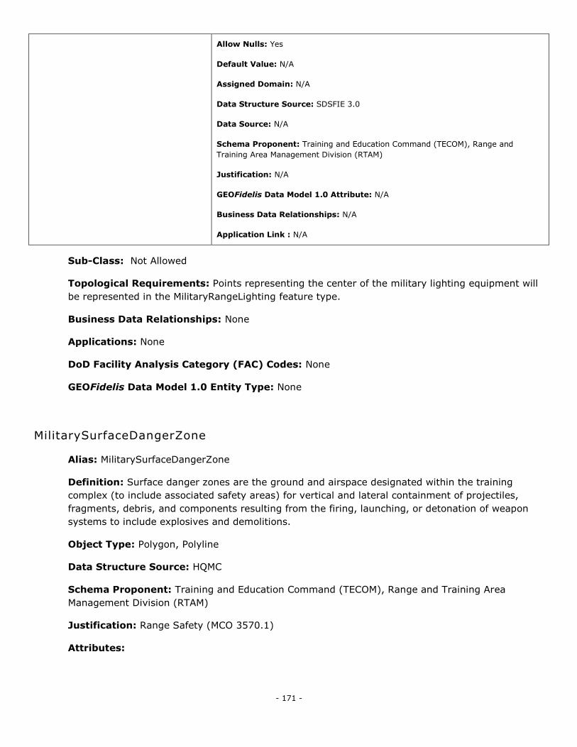
- 171 -
Allow Nulls: Yes
Default Value: N/A
Assigned Domain: N/A
Data Structure Source: SDSFIE 3.0
Data Source: N/A
Schema Proponent: Training and Education Command (TECOM), Range and
Training Area Management Division (RTAM)
Justification: N/A
GEOFidelis Data Model 1.0 Attribute: N/A
Business Data Relationships: N/A
Application Link : N/A
Sub-Class: Not Allowed
Topological Requirements: Points representing the center of the military lighting equipment will
be represented in the MilitaryRangeLighting feature type.
Business Data Relationships: None
Applications: None
DoD Facility Analysis Category (FAC) Codes: None
GEOFidelis Data Model 1.0 Entity Type: None
MilitarySurfaceDangerZone
Alias: MilitarySurfaceDangerZone
Definition: Surface danger zones are the ground and airspace designated within the training
complex (to include associated safety areas) for vertical and lateral containment of projectiles,
fragments, debris, and components resulting from the firing, launching, or detonation of weapon
systems to include explosives and demolitions.
Object Type: Polygon, Polyline
Data Structure Source: HQMC
Schema Proponent: Training and Education Command (TECOM), Range and Training Area
Management Division (RTAM)
Justification: Range Safety (MCO 3570.1)
Attributes:
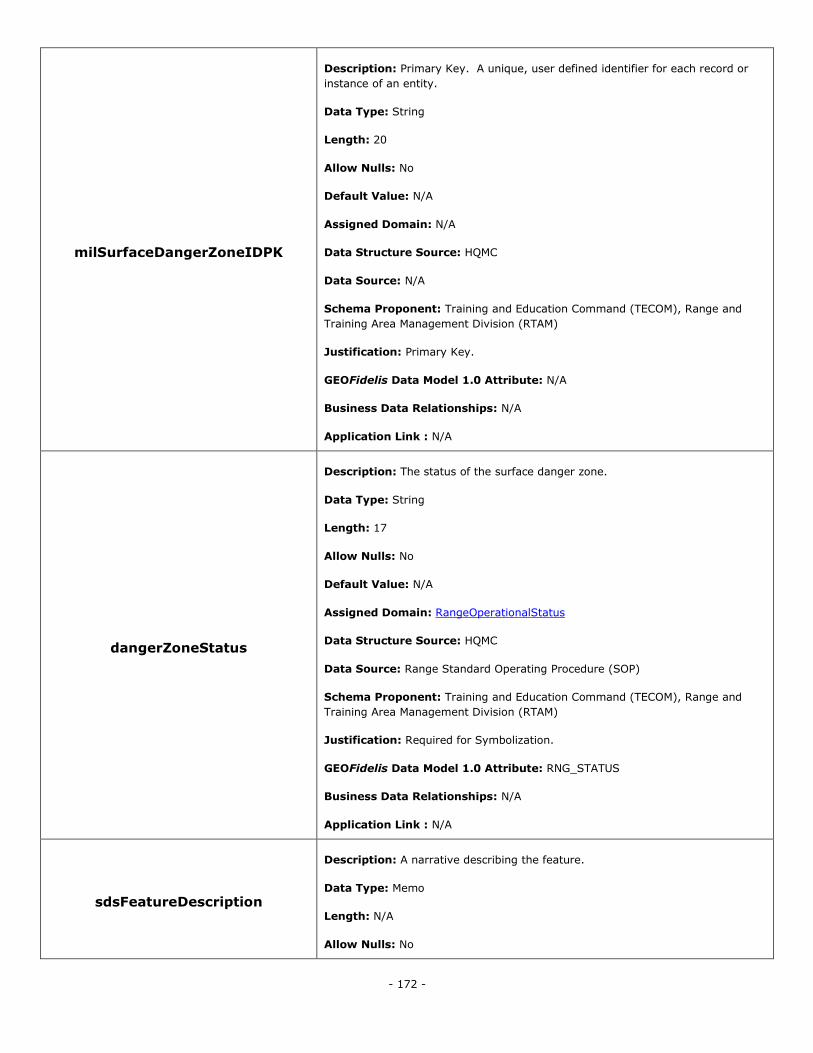
- 172 -
milSurfaceDangerZoneIDPK
Description: Primary Key. A unique, user defined identifier for each record or
instance of an entity.
Data Type: String
Length: 20
Allow Nulls: No
Default Value: N/A
Assigned Domain: N/A
Data Structure Source: HQMC
Data Source: N/A
Schema Proponent: Training and Education Command (TECOM), Range and
Training Area Management Division (RTAM)
Justification: Primary Key.
GEOFidelis Data Model 1.0 Attribute: N/A
Business Data Relationships: N/A
Application Link : N/A
dangerZoneStatus
Description: The status of the surface danger zone.
Data Type: String
Length: 17
Allow Nulls: No
Default Value: N/A
Assigned Domain: RangeOperationalStatus
Data Structure Source: HQMC
Data Source: Range Standard Operating Procedure (SOP)
Schema Proponent: Training and Education Command (TECOM), Range and
Training Area Management Division (RTAM)
Justification: Required for Symbolization.
GEOFidelis Data Model 1.0 Attribute: RNG_STATUS
Business Data Relationships: N/A
Application Link : N/A
sdsFeatureDescription
Description: A narrative describing the feature.
Data Type: Memo
Length: N/A
Allow Nulls: No
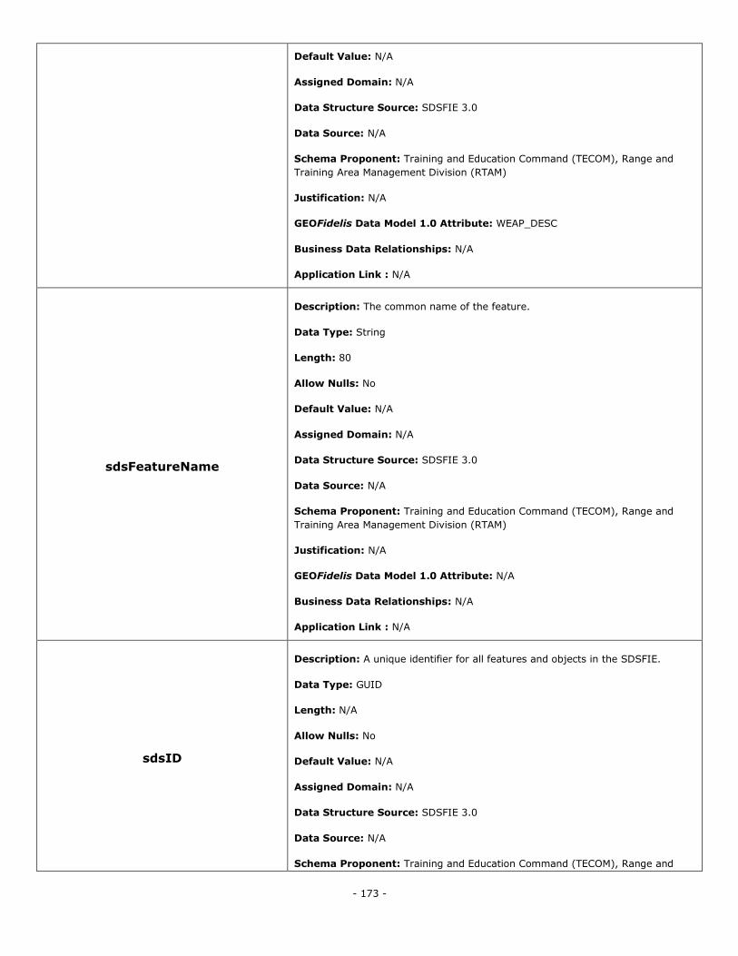
- 173 -
Default Value: N/A
Assigned Domain: N/A
Data Structure Source: SDSFIE 3.0
Data Source: N/A
Schema Proponent: Training and Education Command (TECOM), Range and
Training Area Management Division (RTAM)
Justification: N/A
GEOFidelis Data Model 1.0 Attribute: WEAP_DESC
Business Data Relationships: N/A
Application Link : N/A
sdsFeatureName
Description: The common name of the feature.
Data Type: String
Length: 80
Allow Nulls: No
Default Value: N/A
Assigned Domain: N/A
Data Structure Source: SDSFIE 3.0
Data Source: N/A
Schema Proponent: Training and Education Command (TECOM), Range and
Training Area Management Division (RTAM)
Justification: N/A
GEOFidelis Data Model 1.0 Attribute: N/A
Business Data Relationships: N/A
Application Link : N/A
sdsID
Description: A unique identifier for all features and objects in the SDSFIE.
Data Type: GUID
Length: N/A
Allow Nulls: No
Default Value: N/A
Assigned Domain: N/A
Data Structure Source: SDSFIE 3.0
Data Source: N/A
Schema Proponent: Training and Education Command (TECOM), Range and
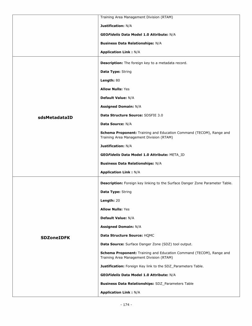
- 174 -
Training Area Management Division (RTAM)
Justification: N/A
GEOFidelis Data Model 1.0 Attribute: N/A
Business Data Relationships: N/A
Application Link : N/A
sdsMetadataID
Description: The foreign key to a metadata record.
Data Type: String
Length: 80
Allow Nulls: Yes
Default Value: N/A
Assigned Domain: N/A
Data Structure Source: SDSFIE 3.0
Data Source: N/A
Schema Proponent: Training and Education Command (TECOM), Range and
Training Area Management Division (RTAM)
Justification: N/A
GEOFidelis Data Model 1.0 Attribute: META_ID
Business Data Relationships: N/A
Application Link : N/A
SDZoneIDFK
Description: Foreign key linking to the Surface Danger Zone Parameter Table.
Data Type: String
Length: 20
Allow Nulls: Yes
Default Value: N/A
Assigned Domain: N/A
Data Structure Source: HQMC
Data Source: Surface Danger Zone (SDZ) tool output.
Schema Proponent: Training and Education Command (TECOM), Range and
Training Area Management Division (RTAM)
Justification: Foreign Key link to the SDZ_Parameters Table.
GEOFidelis Data Model 1.0 Attribute: N/A
Business Data Relationships: SDZ_Parameters Table
Application Link : N/A

- 175 -
Sub-Class: Not Allowed
Topological Requirements: Polygons representing the outer most extent of areas used as
military surface danger zones will be stored in the MilitarySurfaceDangerZoneArea feature type.
Lines representing the internal measurements associated with the creation of a surface danger
zone will be stored in the MilitarySurfaceDangerZoneLine feature type.
Business Data Relationships: Surface Danger Zone (SDZ_Parameters) Table
Applications: None
DoD Facility Analysis Category (FAC) Codes: None
GEOFidelis Data Model 1.0 Entity Type: military_surface_danger_zone_area
MilitaryTarget
Alias: MilitaryTarget
Definition: Objects aimed at or fired upon by weapons or weapons systems for military training
and testing.
Object Type: Polygon, Polyline, Point
Data Structure Source: SDSFIE 3.0 - MilitaryTarget
Schema Proponent: Training and Education Command (TECOM), Range and Training Area
Management Division (RTAM)
Justification: N/A
Attributes:
militaryTargetIDPK
Description: Primary Key. A unique, user defined identifier for each record or
instance of an entity.
Data Type: String
Length: 20
Allow Nulls: No
Default Value: N/A
Assigned Domain: N/A
Data Structure Source: SDSFIE 3.0
Data Source: N/A
Schema Proponent: Training and Education Command (TECOM), Range and
Training Area Management Division (RTAM)
Justification: N/A
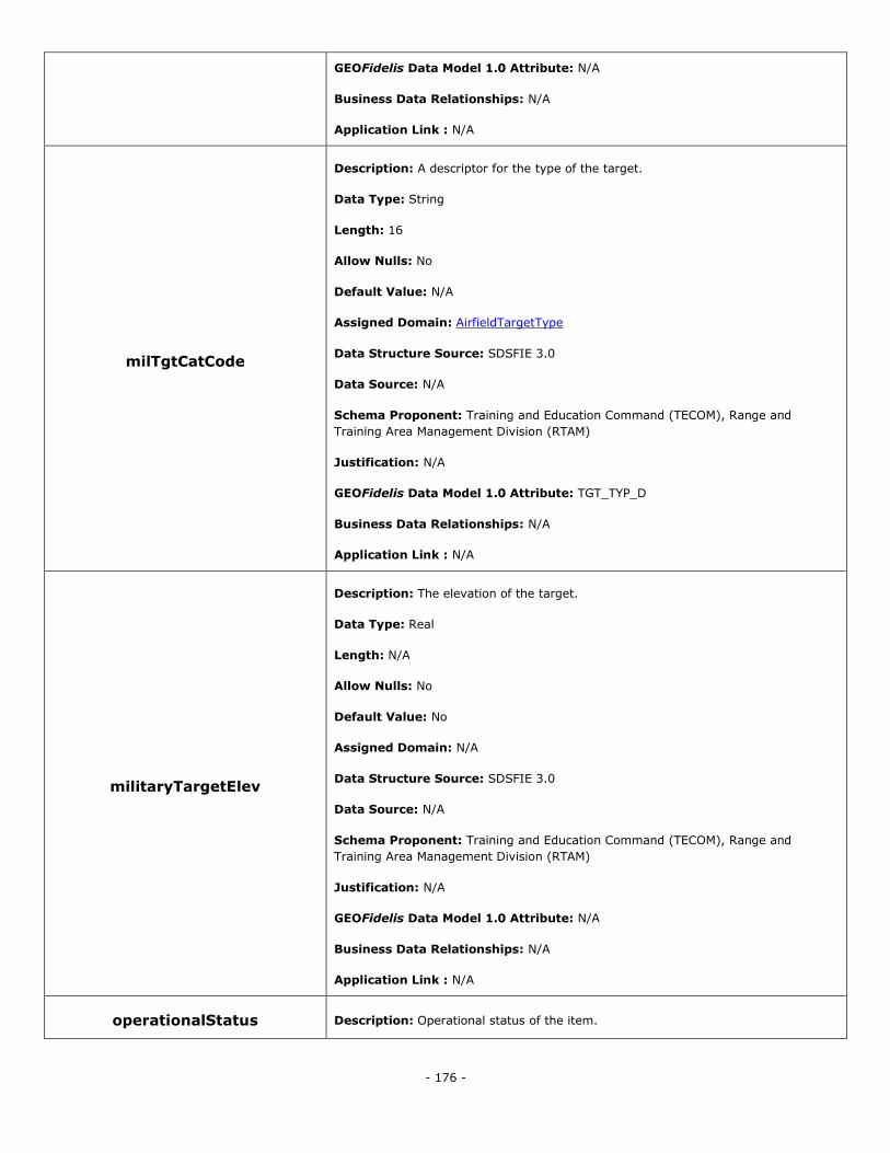
- 176 -
GEOFidelis Data Model 1.0 Attribute: N/A
Business Data Relationships: N/A
Application Link : N/A
milTgtCatCode
Description: A descriptor for the type of the target.
Data Type: String
Length: 16
Allow Nulls: No
Default Value: N/A
Assigned Domain: AirfieldTargetType
Data Structure Source: SDSFIE 3.0
Data Source: N/A
Schema Proponent: Training and Education Command (TECOM), Range and
Training Area Management Division (RTAM)
Justification: N/A
GEOFidelis Data Model 1.0 Attribute: TGT_TYP_D
Business Data Relationships: N/A
Application Link : N/A
militaryTargetElev
Description: The elevation of the target.
Data Type: Real
Length: N/A
Allow Nulls: No
Default Value: No
Assigned Domain: N/A
Data Structure Source: SDSFIE 3.0
Data Source: N/A
Schema Proponent: Training and Education Command (TECOM), Range and
Training Area Management Division (RTAM)
Justification: N/A
GEOFidelis Data Model 1.0 Attribute: N/A
Business Data Relationships: N/A
Application Link : N/A
operationalStatus Description: Operational status of the item.
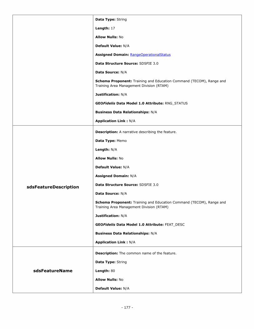
- 177 -
Data Type: String
Length: 17
Allow Nulls: No
Default Value: N/A
Assigned Domain: RangeOperationalStatus
Data Structure Source: SDSFIE 3.0
Data Source: N/A
Schema Proponent: Training and Education Command (TECOM), Range and
Training Area Management Division (RTAM)
Justification: N/A
GEOFidelis Data Model 1.0 Attribute: RNG_STATUS
Business Data Relationships: N/A
Application Link : N/A
sdsFeatureDescription
Description: A narrative describing the feature.
Data Type: Memo
Length: N/A
Allow Nulls: No
Default Value: N/A
Assigned Domain: N/A
Data Structure Source: SDSFIE 3.0
Data Source: N/A
Schema Proponent: Training and Education Command (TECOM), Range and
Training Area Management Division (RTAM)
Justification: N/A
GEOFidelis Data Model 1.0 Attribute: FEAT_DESC
Business Data Relationships: N/A
Application Link : N/A
sdsFeatureName
Description: The common name of the feature.
Data Type: String
Length: 80
Allow Nulls: No
Default Value: N/A
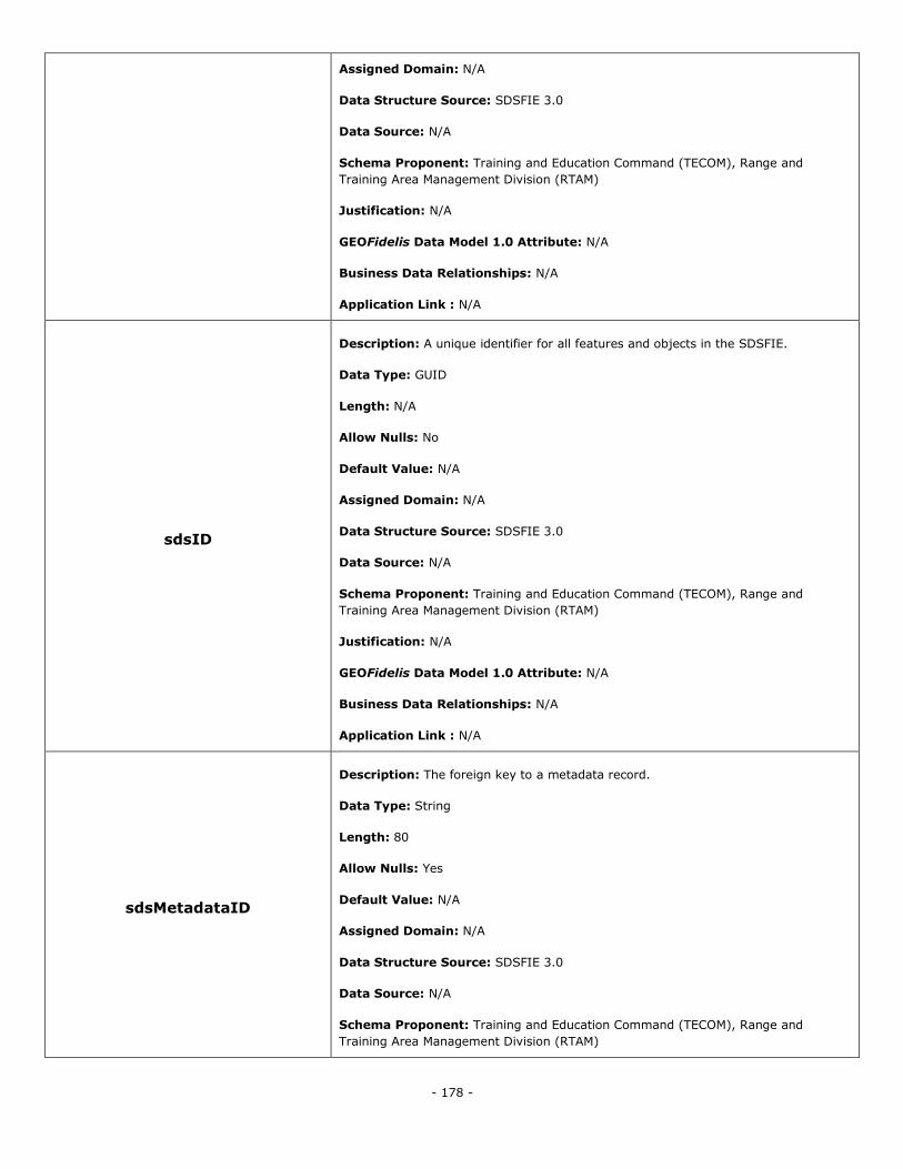
- 178 -
Assigned Domain: N/A
Data Structure Source: SDSFIE 3.0
Data Source: N/A
Schema Proponent: Training and Education Command (TECOM), Range and
Training Area Management Division (RTAM)
Justification: N/A
GEOFidelis Data Model 1.0 Attribute: N/A
Business Data Relationships: N/A
Application Link : N/A
sdsID
Description: A unique identifier for all features and objects in the SDSFIE.
Data Type: GUID
Length: N/A
Allow Nulls: No
Default Value: N/A
Assigned Domain: N/A
Data Structure Source: SDSFIE 3.0
Data Source: N/A
Schema Proponent: Training and Education Command (TECOM), Range and
Training Area Management Division (RTAM)
Justification: N/A
GEOFidelis Data Model 1.0 Attribute: N/A
Business Data Relationships: N/A
Application Link : N/A
sdsMetadataID
Description: The foreign key to a metadata record.
Data Type: String
Length: 80
Allow Nulls: Yes
Default Value: N/A
Assigned Domain: N/A
Data Structure Source: SDSFIE 3.0
Data Source: N/A
Schema Proponent: Training and Education Command (TECOM), Range and
Training Area Management Division (RTAM)
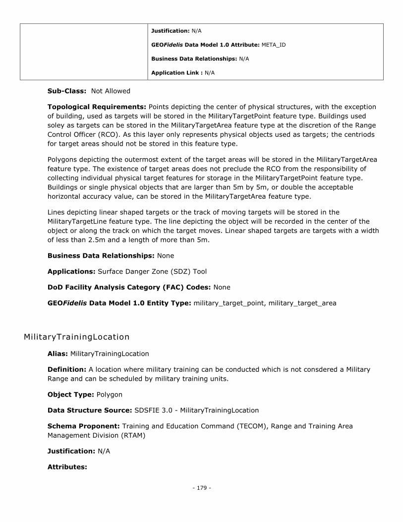
- 179 -
Justification: N/A
GEOFidelis Data Model 1.0 Attribute: META_ID
Business Data Relationships: N/A
Application Link : N/A
Sub-Class: Not Allowed
Topological Requirements: Points depicting the center of physical structures, with the exception
of building, used as targets will be stored in the MilitaryTargetPoint feature type. Buildings used
soley as targets can be stored in the MilitaryTargetArea feature type at the discretion of the Range
Control Officer (RCO). As this layer only represents physical objects used as targets; the centriods
for target areas should not be stored in this feature type.
Polygons depicting the outermost extent of the target areas will be stored in the MilitaryTargetArea
feature type. The existence of target areas does not preclude the RCO from the responsibility of
collecting individual physical target features for storage in the MilitaryTargetPoint feature type.
Buildings or single physical objects that are larger than 5m by 5m, or double the acceptable
horizontal accuracy value, can be stored in the MilitaryTargetArea feature type.
Lines depicting linear shaped targets or the track of moving targets will be stored in the
MilitaryTargetLine feature type. The line depicting the object will be recorded in the center of the
object or along the track on which the target moves. Linear shaped targets are targets with a width
of less than 2.5m and a length of more than 5m.
Business Data Relationships: None
Applications: Surface Danger Zone (SDZ) Tool
DoD Facility Analysis Category (FAC) Codes: None
GEOFidelis Data Model 1.0 Entity Type: military_target_point, military_target_area
MilitaryTrainingLocation
Alias: MilitaryTrainingLocation
Definition: A location where military training can be conducted which is not consdered a Military
Range and can be scheduled by military training units.
Object Type: Polygon
Data Structure Source: SDSFIE 3.0 - MilitaryTrainingLocation
Schema Proponent: Training and Education Command (TECOM), Range and Training Area
Management Division (RTAM)
Justification: N/A
Attributes:
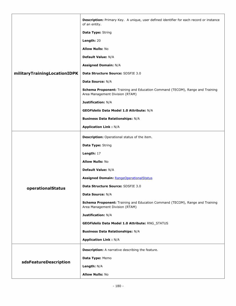
- 180 -
militaryTrainingLocationIDPK
Description: Primary Key. A unique, user defined identifier for each record or instance
of an entity.
Data Type: String
Length: 20
Allow Nulls: No
Default Value: N/A
Assigned Domain: N/A
Data Structure Source: SDSFIE 3.0
Data Source: N/A
Schema Proponent: Training and Education Command (TECOM), Range and Training
Area Management Division (RTAM)
Justification: N/A
GEOFidelis Data Model 1.0 Attribute: N/A
Business Data Relationships: N/A
Application Link : N/A
operationalStatus
Description: Operational status of the item.
Data Type: String
Length: 17
Allow Nulls: No
Default Value: N/A
Assigned Domain: RangeOperationalStatus
Data Structure Source: SDSFIE 3.0
Data Source: N/A
Schema Proponent: Training and Education Command (TECOM), Range and Training
Area Management Division (RTAM)
Justification: N/A
GEOFidelis Data Model 1.0 Attribute: RNG_STATUS
Business Data Relationships: N/A
Application Link : N/A
sdsFeatureDescription
Description: A narrative describing the feature.
Data Type: Memo
Length: N/A
Allow Nulls: No
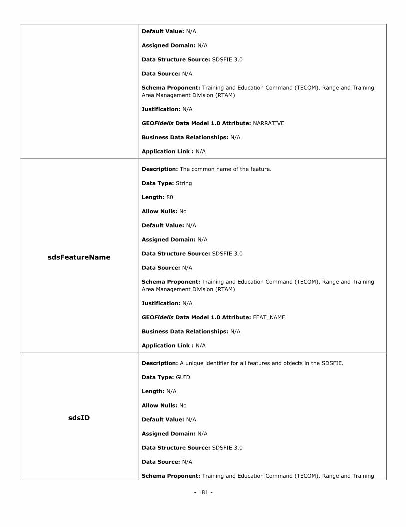
- 181 -
Default Value: N/A
Assigned Domain: N/A
Data Structure Source: SDSFIE 3.0
Data Source: N/A
Schema Proponent: Training and Education Command (TECOM), Range and Training
Area Management Division (RTAM)
Justification: N/A
GEOFidelis Data Model 1.0 Attribute: NARRATIVE
Business Data Relationships: N/A
Application Link : N/A
sdsFeatureName
Description: The common name of the feature.
Data Type: String
Length: 80
Allow Nulls: No
Default Value: N/A
Assigned Domain: N/A
Data Structure Source: SDSFIE 3.0
Data Source: N/A
Schema Proponent: Training and Education Command (TECOM), Range and Training
Area Management Division (RTAM)
Justification: N/A
GEOFidelis Data Model 1.0 Attribute: FEAT_NAME
Business Data Relationships: N/A
Application Link : N/A
sdsID
Description: A unique identifier for all features and objects in the SDSFIE.
Data Type: GUID
Length: N/A
Allow Nulls: No
Default Value: N/A
Assigned Domain: N/A
Data Structure Source: SDSFIE 3.0
Data Source: N/A
Schema Proponent: Training and Education Command (TECOM), Range and Training
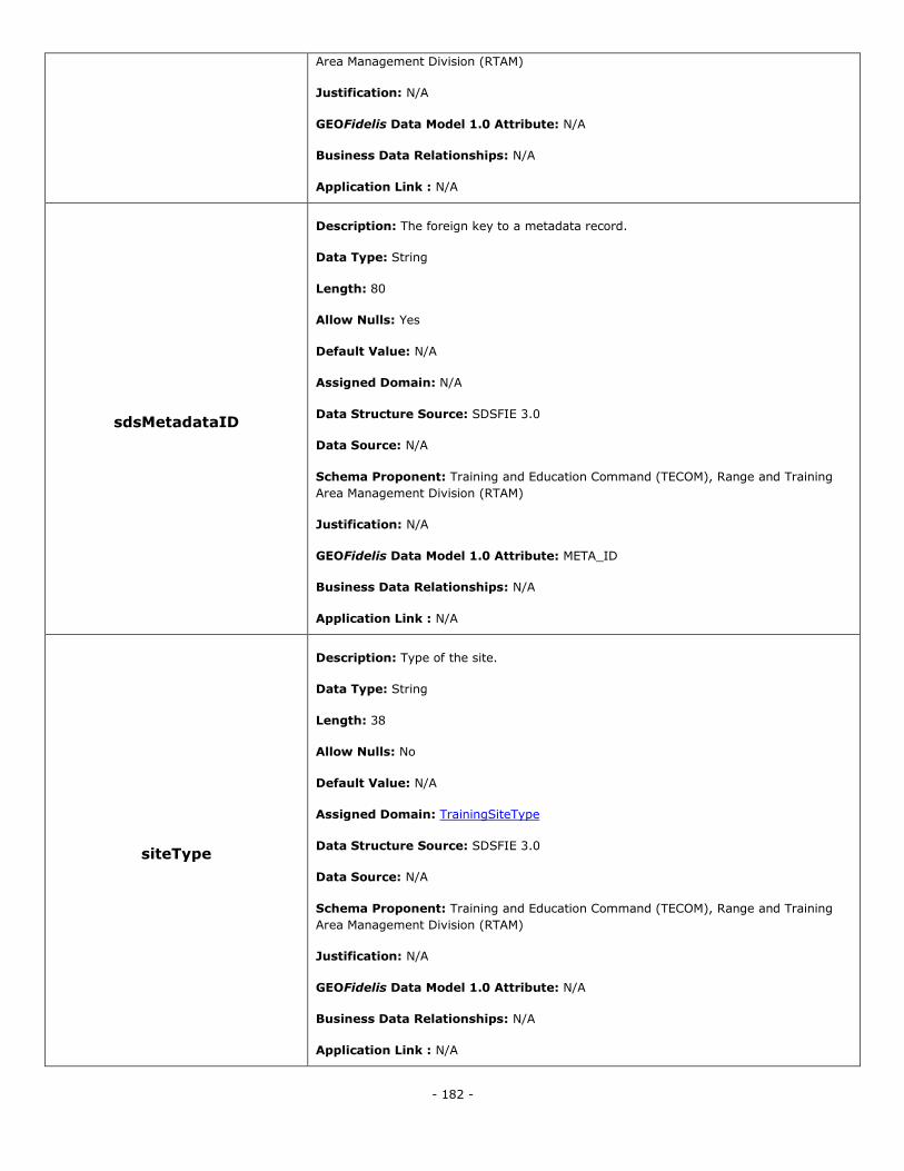
- 182 -
Area Management Division (RTAM)
Justification: N/A
GEOFidelis Data Model 1.0 Attribute: N/A
Business Data Relationships: N/A
Application Link : N/A
sdsMetadataID
Description: The foreign key to a metadata record.
Data Type: String
Length: 80
Allow Nulls: Yes
Default Value: N/A
Assigned Domain: N/A
Data Structure Source: SDSFIE 3.0
Data Source: N/A
Schema Proponent: Training and Education Command (TECOM), Range and Training
Area Management Division (RTAM)
Justification: N/A
GEOFidelis Data Model 1.0 Attribute: META_ID
Business Data Relationships: N/A
Application Link : N/A
siteType
Description: Type of the site.
Data Type: String
Length: 38
Allow Nulls: No
Default Value: N/A
Assigned Domain: TrainingSiteType
Data Structure Source: SDSFIE 3.0
Data Source: N/A
Schema Proponent: Training and Education Command (TECOM), Range and Training
Area Management Division (RTAM)
Justification: N/A
GEOFidelis Data Model 1.0 Attribute: N/A
Business Data Relationships: N/A
Application Link : N/A
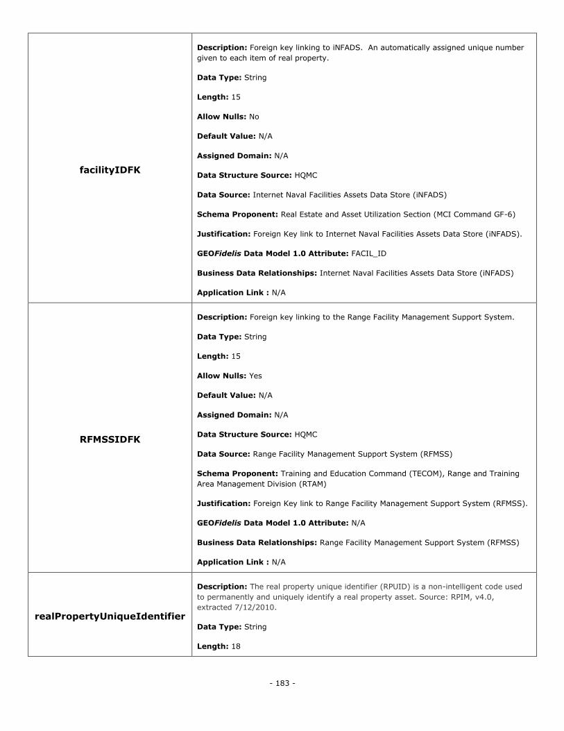
- 183 -
facilityIDFK
Description: Foreign key linking to iNFADS. An automatically assigned unique number
given to each item of real property.
Data Type: String
Length: 15
Allow Nulls: No
Default Value: N/A
Assigned Domain: N/A
Data Structure Source: HQMC
Data Source: Internet Naval Facilities Assets Data Store (iNFADS)
Schema Proponent: Real Estate and Asset Utilization Section (MCI Command GF-6)
Justification: Foreign Key link to Internet Naval Facilities Assets Data Store (iNFADS).
GEOFidelis Data Model 1.0 Attribute: FACIL_ID
Business Data Relationships: Internet Naval Facilities Assets Data Store (iNFADS)
Application Link : N/A
RFMSSIDFK
Description: Foreign key linking to the Range Facility Management Support System.
Data Type: String
Length: 15
Allow Nulls: Yes
Default Value: N/A
Assigned Domain: N/A
Data Structure Source: HQMC
Data Source: Range Facility Management Support System (RFMSS)
Schema Proponent: Training and Education Command (TECOM), Range and Training
Area Management Division (RTAM)
Justification: Foreign Key link to Range Facility Management Support System (RFMSS).
GEOFidelis Data Model 1.0 Attribute: N/A
Business Data Relationships: Range Facility Management Support System (RFMSS)
Application Link : N/A
realPropertyUniqueIdentifier
Description: The real property unique identifier (RPUID) is a non-intelligent code used
to permanently and uniquely identify a real property asset. Source: RPIM, v4.0,
extracted 7/12/2010.
Data Type: String
Length: 18
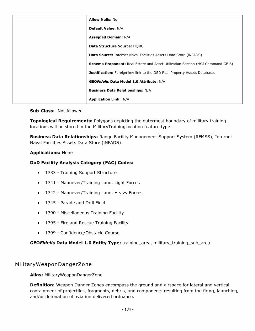
- 184 -
Allow Nulls: No
Default Value: N/A
Assigned Domain: N/A
Data Structure Source: HQMC
Data Source: Internet Naval Facilities Assets Data Store (iNFADS)
Schema Proponent: Real Estate and Asset Utilization Section (MCI Command GF-6)
Justification: Foreign key link to the OSD Real Property Assets Database.
GEOFidelis Data Model 1.0 Attribute: N/A
Business Data Relationships: N/A
Application Link : N/A
Sub-Class: Not Allowed
Topological Requirements: Polygons depicting the outermost boundary of military training
locations will be stored in the MilitaryTrainingLocation feature type.
Business Data Relationships: Range Facility Management Support System (RFMSS), Internet
Naval Facilities Assets Data Store (iNFADS)
Applications: None
DoD Facility Analysis Category (FAC) Codes:
1733 - Training Support Structure
1741 - Manuever/Training Land, Light Forces
1742 - Manuever/Training Land, Heavy Forces
1745 - Parade and Drill Field
1790 - Miscellaneous Training Facility
1795 - Fire and Rescue Training Facility
1799 - Confidence/Obstacle Course
GEOFidelis Data Model 1.0 Entity Type: training_area, military_training_sub_area
MilitaryWeaponDangerZone
Alias: MilitaryWeaponDangerZone
Definition: Weapon Danger Zones encompass the ground and airspace for lateral and vertical
containment of projectiles, fragments, debris, and components resulting from the firing, launching,
and/or detonation of aviation delivered ordnance.
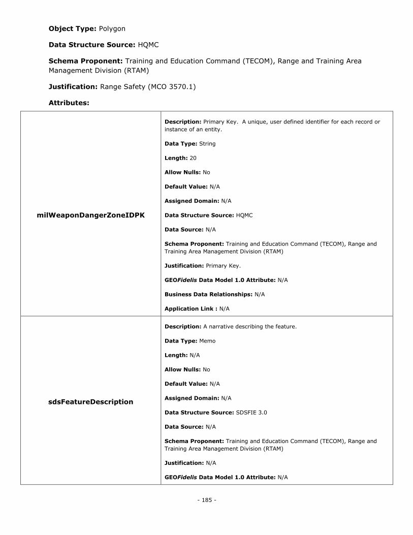
- 185 -
Object Type: Polygon
Data Structure Source: HQMC
Schema Proponent: Training and Education Command (TECOM), Range and Training Area
Management Division (RTAM)
Justification: Range Safety (MCO 3570.1)
Attributes:
milWeaponDangerZoneIDPK
Description: Primary Key. A unique, user defined identifier for each record or
instance of an entity.
Data Type: String
Length: 20
Allow Nulls: No
Default Value: N/A
Assigned Domain: N/A
Data Structure Source: HQMC
Data Source: N/A
Schema Proponent: Training and Education Command (TECOM), Range and
Training Area Management Division (RTAM)
Justification: Primary Key.
GEOFidelis Data Model 1.0 Attribute: N/A
Business Data Relationships: N/A
Application Link : N/A
sdsFeatureDescription
Description: A narrative describing the feature.
Data Type: Memo
Length: N/A
Allow Nulls: No
Default Value: N/A
Assigned Domain: N/A
Data Structure Source: SDSFIE 3.0
Data Source: N/A
Schema Proponent: Training and Education Command (TECOM), Range and
Training Area Management Division (RTAM)
Justification: N/A
GEOFidelis Data Model 1.0 Attribute: N/A
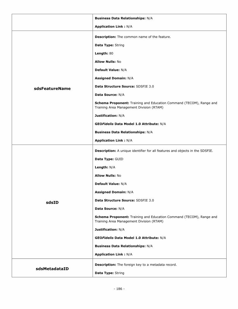
- 186 -
Business Data Relationships: N/A
Application Link : N/A
sdsFeatureName
Description: The common name of the feature.
Data Type: String
Length: 80
Allow Nulls: No
Default Value: N/A
Assigned Domain: N/A
Data Structure Source: SDSFIE 3.0
Data Source: N/A
Schema Proponent: Training and Education Command (TECOM), Range and
Training Area Management Division (RTAM)
Justification: N/A
GEOFidelis Data Model 1.0 Attribute: N/A
Business Data Relationships: N/A
Application Link : N/A
sdsID
Description: A unique identifier for all features and objects in the SDSFIE.
Data Type: GUID
Length: N/A
Allow Nulls: No
Default Value: N/A
Assigned Domain: N/A
Data Structure Source: SDSFIE 3.0
Data Source: N/A
Schema Proponent: Training and Education Command (TECOM), Range and
Training Area Management Division (RTAM)
Justification: N/A
GEOFidelis Data Model 1.0 Attribute: N/A
Business Data Relationships: N/A
Application Link : N/A
sdsMetadataID Description: The foreign key to a metadata record.
Data Type: String
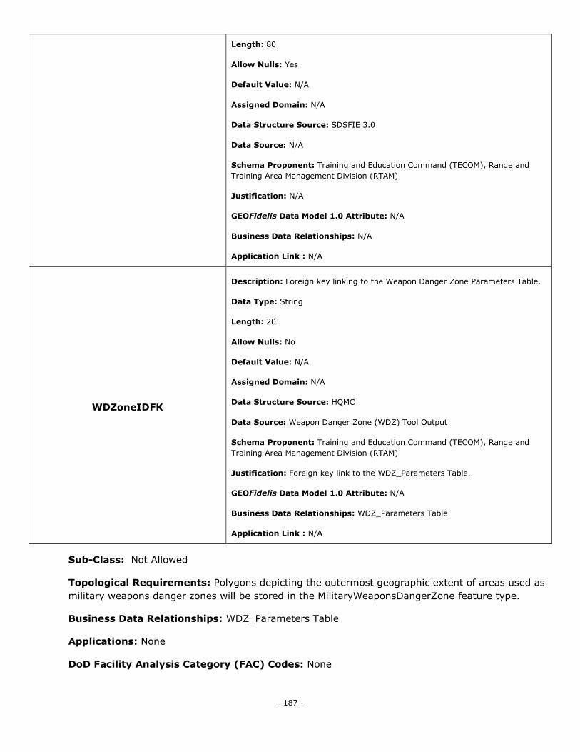
- 187 -
Length: 80
Allow Nulls: Yes
Default Value: N/A
Assigned Domain: N/A
Data Structure Source: SDSFIE 3.0
Data Source: N/A
Schema Proponent: Training and Education Command (TECOM), Range and
Training Area Management Division (RTAM)
Justification: N/A
GEOFidelis Data Model 1.0 Attribute: N/A
Business Data Relationships: N/A
Application Link : N/A
WDZoneIDFK
Description: Foreign key linking to the Weapon Danger Zone Parameters Table.
Data Type: String
Length: 20
Allow Nulls: No
Default Value: N/A
Assigned Domain: N/A
Data Structure Source: HQMC
Data Source: Weapon Danger Zone (WDZ) Tool Output
Schema Proponent: Training and Education Command (TECOM), Range and
Training Area Management Division (RTAM)
Justification: Foreign key link to the WDZ_Parameters Table.
GEOFidelis Data Model 1.0 Attribute: N/A
Business Data Relationships: WDZ_Parameters Table
Application Link : N/A
Sub-Class: Not Allowed
Topological Requirements: Polygons depicting the outermost geographic extent of areas used as
military weapons danger zones will be stored in the MilitaryWeaponsDangerZone feature type.
Business Data Relationships: WDZ_Parameters Table
Applications: None
DoD Facility Analysis Category (FAC) Codes: None
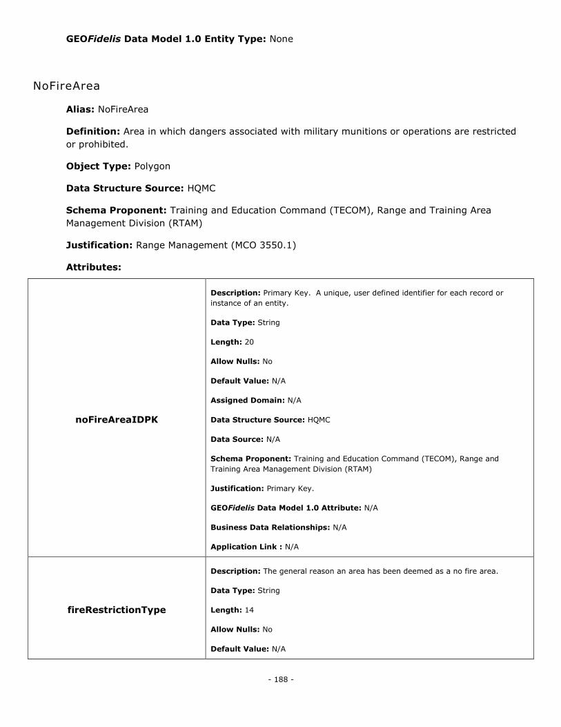
- 188 -
GEOFidelis Data Model 1.0 Entity Type: None
NoFireArea
Alias: NoFireArea
Definition: Area in which dangers associated with military munitions or operations are restricted
or prohibited.
Object Type: Polygon
Data Structure Source: HQMC
Schema Proponent: Training and Education Command (TECOM), Range and Training Area
Management Division (RTAM)
Justification: Range Management (MCO 3550.1)
Attributes:
noFireAreaIDPK
Description: Primary Key. A unique, user defined identifier for each record or
instance of an entity.
Data Type: String
Length: 20
Allow Nulls: No
Default Value: N/A
Assigned Domain: N/A
Data Structure Source: HQMC
Data Source: N/A
Schema Proponent: Training and Education Command (TECOM), Range and
Training Area Management Division (RTAM)
Justification: Primary Key.
GEOFidelis Data Model 1.0 Attribute: N/A
Business Data Relationships: N/A
Application Link : N/A
fireRestrictionType
Description: The general reason an area has been deemed as a no fire area.
Data Type: String
Length: 14
Allow Nulls: No
Default Value: N/A
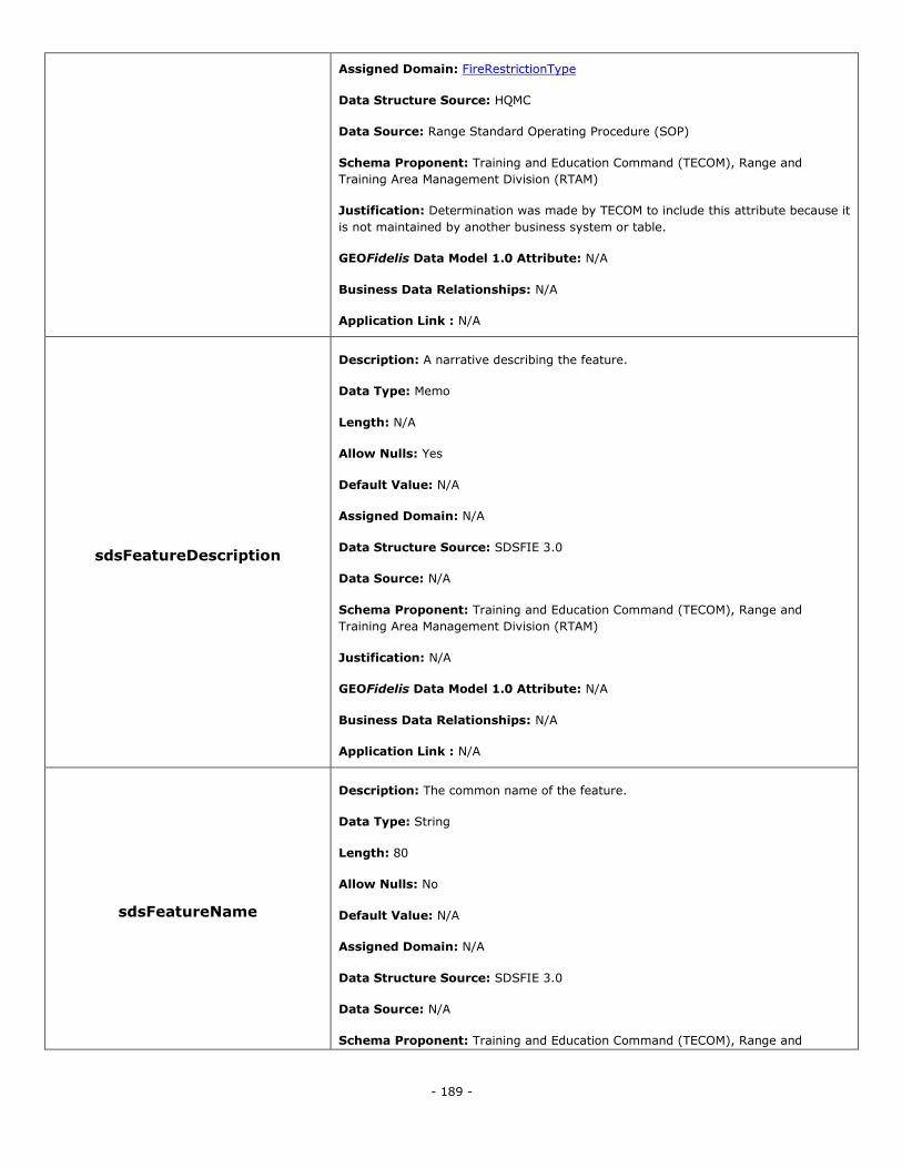
- 189 -
Assigned Domain: FireRestrictionType
Data Structure Source: HQMC
Data Source: Range Standard Operating Procedure (SOP)
Schema Proponent: Training and Education Command (TECOM), Range and
Training Area Management Division (RTAM)
Justification: Determination was made by TECOM to include this attribute because it
is not maintained by another business system or table.
GEOFidelis Data Model 1.0 Attribute: N/A
Business Data Relationships: N/A
Application Link : N/A
sdsFeatureDescription
Description: A narrative describing the feature.
Data Type: Memo
Length: N/A
Allow Nulls: Yes
Default Value: N/A
Assigned Domain: N/A
Data Structure Source: SDSFIE 3.0
Data Source: N/A
Schema Proponent: Training and Education Command (TECOM), Range and
Training Area Management Division (RTAM)
Justification: N/A
GEOFidelis Data Model 1.0 Attribute: N/A
Business Data Relationships: N/A
Application Link : N/A
sdsFeatureName
Description: The common name of the feature.
Data Type: String
Length: 80
Allow Nulls: No
Default Value: N/A
Assigned Domain: N/A
Data Structure Source: SDSFIE 3.0
Data Source: N/A
Schema Proponent: Training and Education Command (TECOM), Range and
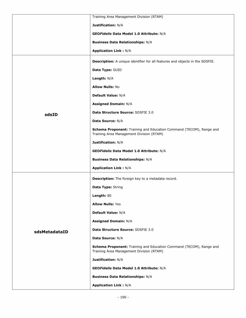
- 190 -
Training Area Management Division (RTAM)
Justification: N/A
GEOFidelis Data Model 1.0 Attribute: N/A
Business Data Relationships: N/A
Application Link : N/A
sdsID
Description: A unique identifier for all features and objects in the SDSFIE.
Data Type: GUID
Length: N/A
Allow Nulls: No
Default Value: N/A
Assigned Domain: N/A
Data Structure Source: SDSFIE 3.0
Data Source: N/A
Schema Proponent: Training and Education Command (TECOM), Range and
Training Area Management Division (RTAM)
Justification: N/A
GEOFidelis Data Model 1.0 Attribute: N/A
Business Data Relationships: N/A
Application Link : N/A
sdsMetadataID
Description: The foreign key to a metadata record.
Data Type: String
Length: 80
Allow Nulls: Yes
Default Value: N/A
Assigned Domain: N/A
Data Structure Source: SDSFIE 3.0
Data Source: N/A
Schema Proponent: Training and Education Command (TECOM), Range and
Training Area Management Division (RTAM)
Justification: N/A
GEOFidelis Data Model 1.0 Attribute: N/A
Business Data Relationships: N/A
Application Link : N/A
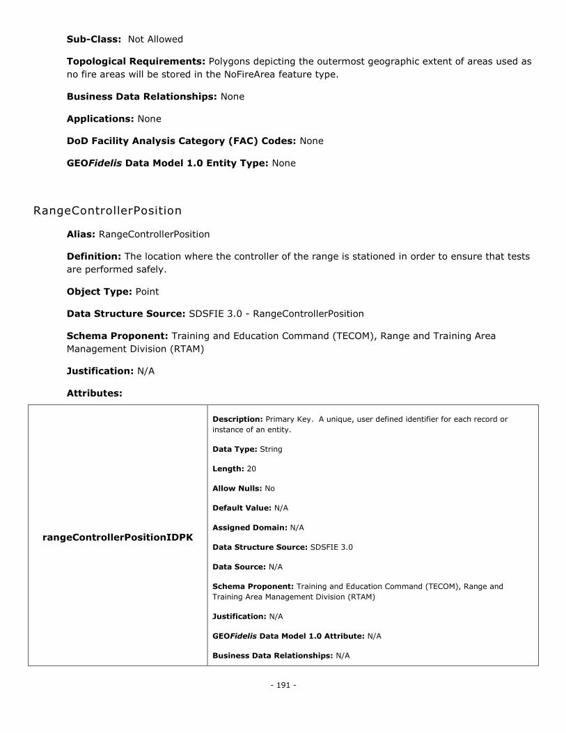
- 191 -
Sub-Class: Not Allowed
Topological Requirements: Polygons depicting the outermost geographic extent of areas used as
no fire areas will be stored in the NoFireArea feature type.
Business Data Relationships: None
Applications: None
DoD Facility Analysis Category (FAC) Codes: None
GEOFidelis Data Model 1.0 Entity Type: None
RangeControllerPosition
Alias: RangeControllerPosition
Definition: The location where the controller of the range is stationed in order to ensure that tests
are performed safely.
Object Type: Point
Data Structure Source: SDSFIE 3.0 - RangeControllerPosition
Schema Proponent: Training and Education Command (TECOM), Range and Training Area
Management Division (RTAM)
Justification: N/A
Attributes:
rangeControllerPositionIDPK
Description: Primary Key. A unique, user defined identifier for each record or
instance of an entity.
Data Type: String
Length: 20
Allow Nulls: No
Default Value: N/A
Assigned Domain: N/A
Data Structure Source: SDSFIE 3.0
Data Source: N/A
Schema Proponent: Training and Education Command (TECOM), Range and
Training Area Management Division (RTAM)
Justification: N/A
GEOFidelis Data Model 1.0 Attribute: N/A
Business Data Relationships: N/A
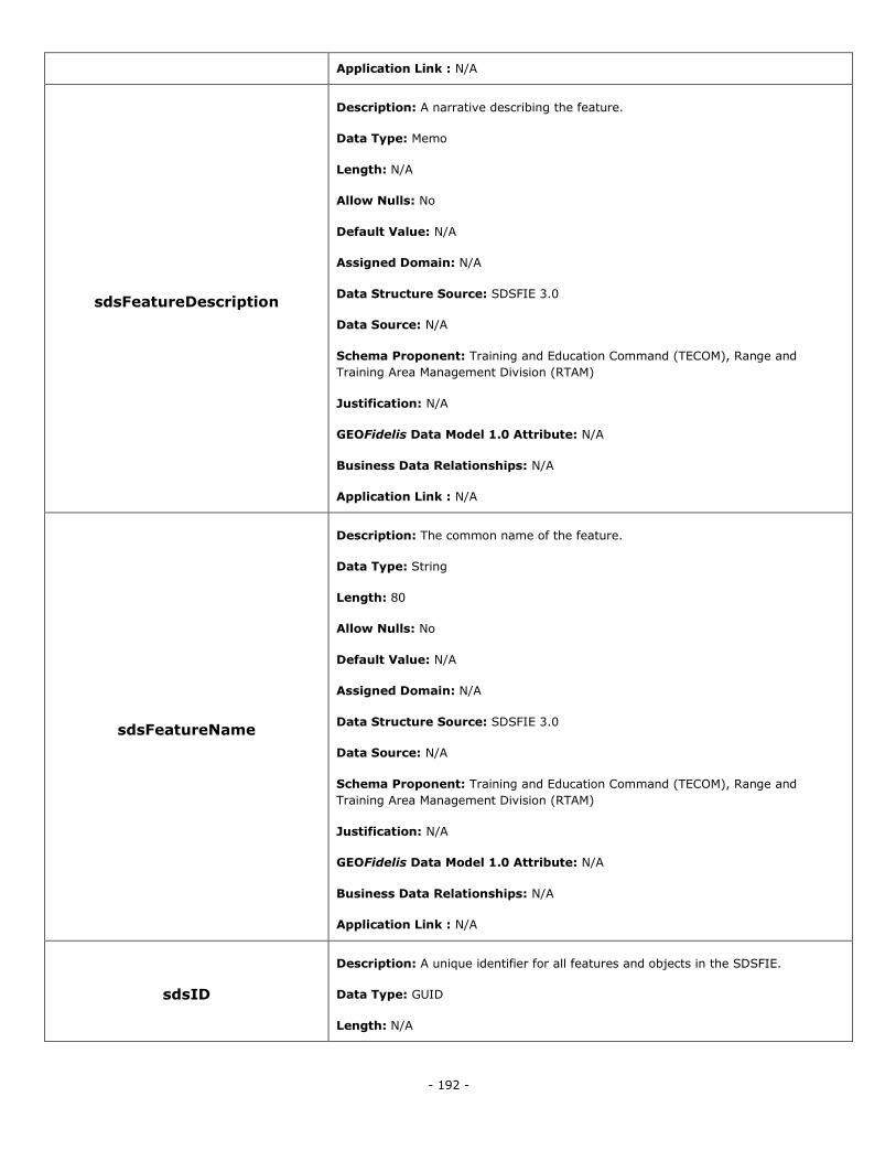
- 192 -
Application Link : N/A
sdsFeatureDescription
Description: A narrative describing the feature.
Data Type: Memo
Length: N/A
Allow Nulls: No
Default Value: N/A
Assigned Domain: N/A
Data Structure Source: SDSFIE 3.0
Data Source: N/A
Schema Proponent: Training and Education Command (TECOM), Range and
Training Area Management Division (RTAM)
Justification: N/A
GEOFidelis Data Model 1.0 Attribute: N/A
Business Data Relationships: N/A
Application Link : N/A
sdsFeatureName
Description: The common name of the feature.
Data Type: String
Length: 80
Allow Nulls: No
Default Value: N/A
Assigned Domain: N/A
Data Structure Source: SDSFIE 3.0
Data Source: N/A
Schema Proponent: Training and Education Command (TECOM), Range and
Training Area Management Division (RTAM)
Justification: N/A
GEOFidelis Data Model 1.0 Attribute: N/A
Business Data Relationships: N/A
Application Link : N/A
sdsID
Description: A unique identifier for all features and objects in the SDSFIE.
Data Type: GUID
Length: N/A
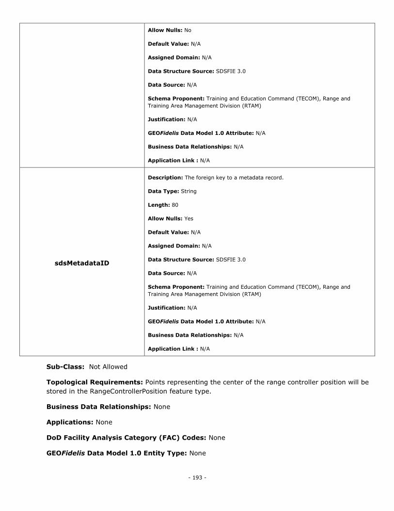
- 193 -
Allow Nulls: No
Default Value: N/A
Assigned Domain: N/A
Data Structure Source: SDSFIE 3.0
Data Source: N/A
Schema Proponent: Training and Education Command (TECOM), Range and
Training Area Management Division (RTAM)
Justification: N/A
GEOFidelis Data Model 1.0 Attribute: N/A
Business Data Relationships: N/A
Application Link : N/A
sdsMetadataID
Description: The foreign key to a metadata record.
Data Type: String
Length: 80
Allow Nulls: Yes
Default Value: N/A
Assigned Domain: N/A
Data Structure Source: SDSFIE 3.0
Data Source: N/A
Schema Proponent: Training and Education Command (TECOM), Range and
Training Area Management Division (RTAM)
Justification: N/A
GEOFidelis Data Model 1.0 Attribute: N/A
Business Data Relationships: N/A
Application Link : N/A
Sub-Class: Not Allowed
Topological Requirements: Points representing the center of the range controller position will be
stored in the RangeControllerPosition feature type.
Business Data Relationships: None
Applications: None
DoD Facility Analysis Category (FAC) Codes: None
GEOFidelis Data Model 1.0 Entity Type: None
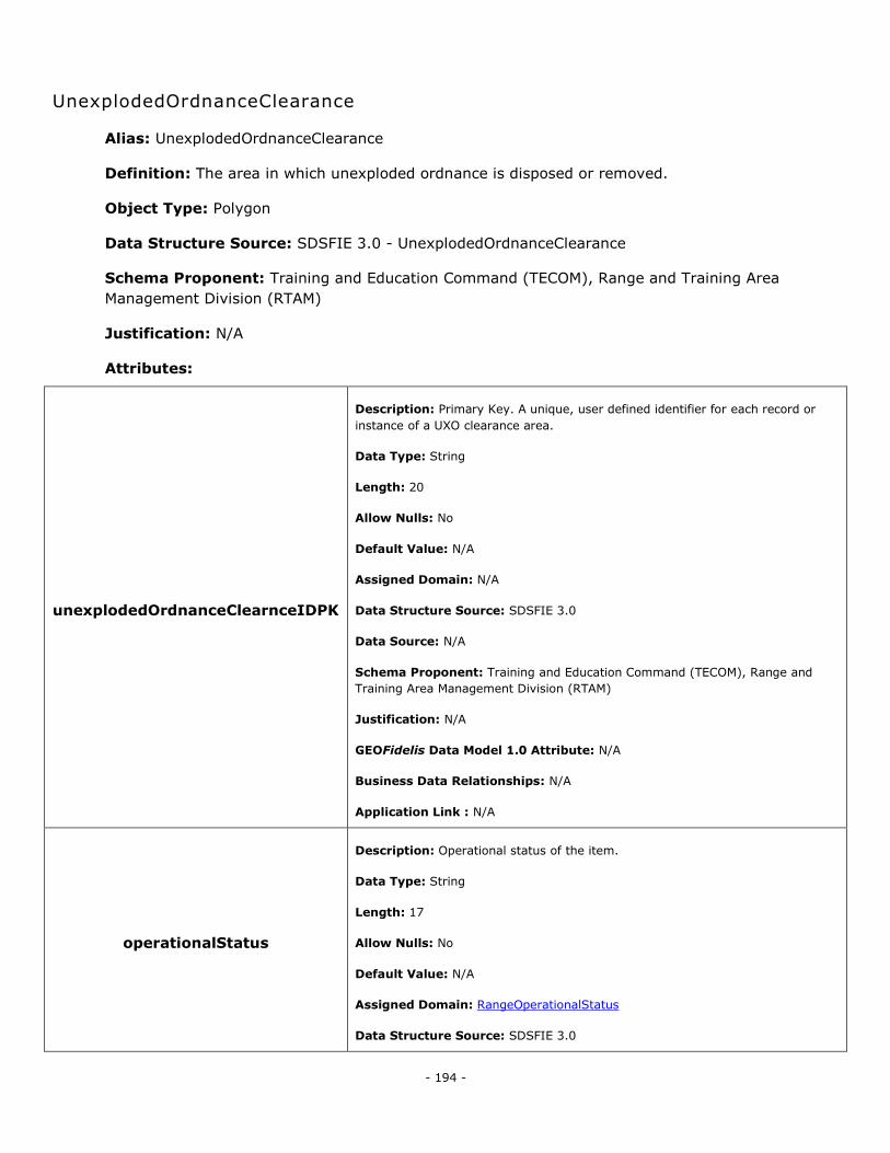
- 194 -
UnexplodedOrdnanceClearance
Alias: UnexplodedOrdnanceClearance
Definition: The area in which unexploded ordnance is disposed or removed.
Object Type: Polygon
Data Structure Source: SDSFIE 3.0 - UnexplodedOrdnanceClearance
Schema Proponent: Training and Education Command (TECOM), Range and Training Area
Management Division (RTAM)
Justification: N/A
Attributes:
unexplodedOrdnanceClearnceIDPK
Description: Primary Key. A unique, user defined identifier for each record or
instance of a UXO clearance area.
Data Type: String
Length: 20
Allow Nulls: No
Default Value: N/A
Assigned Domain: N/A
Data Structure Source: SDSFIE 3.0
Data Source: N/A
Schema Proponent: Training and Education Command (TECOM), Range and
Training Area Management Division (RTAM)
Justification: N/A
GEOFidelis Data Model 1.0 Attribute: N/A
Business Data Relationships: N/A
Application Link : N/A
operationalStatus
Description: Operational status of the item.
Data Type: String
Length: 17
Allow Nulls: No
Default Value: N/A
Assigned Domain: RangeOperationalStatus
Data Structure Source: SDSFIE 3.0
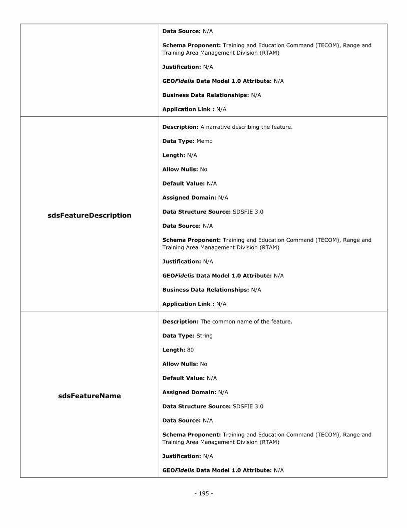
- 195 -
Data Source: N/A
Schema Proponent: Training and Education Command (TECOM), Range and
Training Area Management Division (RTAM)
Justification: N/A
GEOFidelis Data Model 1.0 Attribute: N/A
Business Data Relationships: N/A
Application Link : N/A
sdsFeatureDescription
Description: A narrative describing the feature.
Data Type: Memo
Length: N/A
Allow Nulls: No
Default Value: N/A
Assigned Domain: N/A
Data Structure Source: SDSFIE 3.0
Data Source: N/A
Schema Proponent: Training and Education Command (TECOM), Range and
Training Area Management Division (RTAM)
Justification: N/A
GEOFidelis Data Model 1.0 Attribute: N/A
Business Data Relationships: N/A
Application Link : N/A
sdsFeatureName
Description: The common name of the feature.
Data Type: String
Length: 80
Allow Nulls: No
Default Value: N/A
Assigned Domain: N/A
Data Structure Source: SDSFIE 3.0
Data Source: N/A
Schema Proponent: Training and Education Command (TECOM), Range and
Training Area Management Division (RTAM)
Justification: N/A
GEOFidelis Data Model 1.0 Attribute: N/A
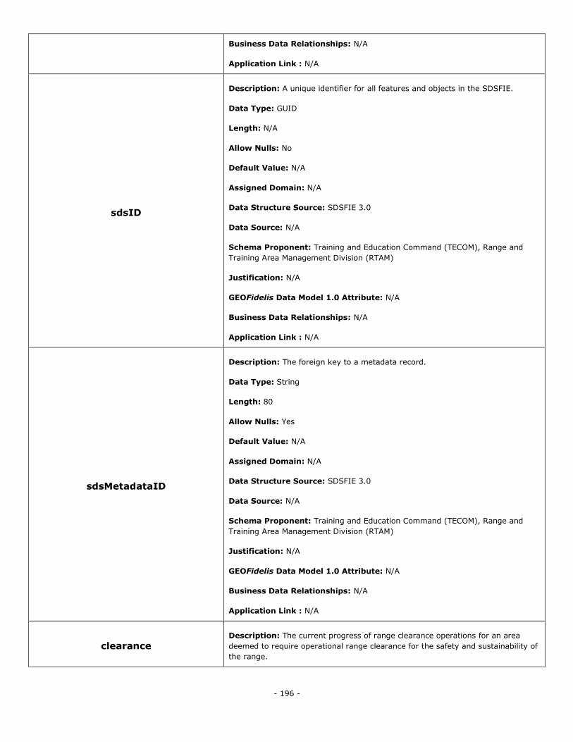
- 196 -
Business Data Relationships: N/A
Application Link : N/A
sdsID
Description: A unique identifier for all features and objects in the SDSFIE.
Data Type: GUID
Length: N/A
Allow Nulls: No
Default Value: N/A
Assigned Domain: N/A
Data Structure Source: SDSFIE 3.0
Data Source: N/A
Schema Proponent: Training and Education Command (TECOM), Range and
Training Area Management Division (RTAM)
Justification: N/A
GEOFidelis Data Model 1.0 Attribute: N/A
Business Data Relationships: N/A
Application Link : N/A
sdsMetadataID
Description: The foreign key to a metadata record.
Data Type: String
Length: 80
Allow Nulls: Yes
Default Value: N/A
Assigned Domain: N/A
Data Structure Source: SDSFIE 3.0
Data Source: N/A
Schema Proponent: Training and Education Command (TECOM), Range and
Training Area Management Division (RTAM)
Justification: N/A
GEOFidelis Data Model 1.0 Attribute: N/A
Business Data Relationships: N/A
Application Link : N/A
clearance Description: The current progress of range clearance operations for an area
deemed to require operational range clearance for the safety and sustainability of
the range.
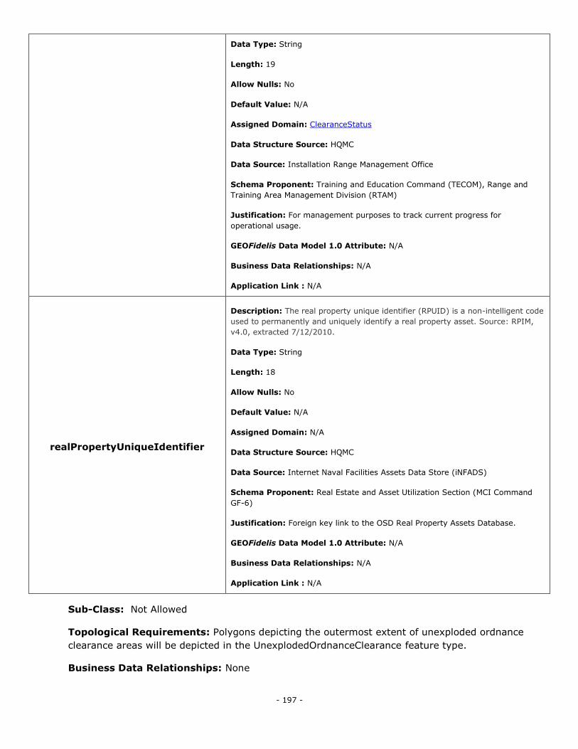
- 197 -
Data Type: String
Length: 19
Allow Nulls: No
Default Value: N/A
Assigned Domain: ClearanceStatus
Data Structure Source: HQMC
Data Source: Installation Range Management Office
Schema Proponent: Training and Education Command (TECOM), Range and
Training Area Management Division (RTAM)
Justification: For management purposes to track current progress for
operational usage.
GEOFidelis Data Model 1.0 Attribute: N/A
Business Data Relationships: N/A
Application Link : N/A
realPropertyUniqueIdentifier
Description: The real property unique identifier (RPUID) is a non-intelligent code
used to permanently and uniquely identify a real property asset. Source: RPIM,
v4.0, extracted 7/12/2010.
Data Type: String
Length: 18
Allow Nulls: No
Default Value: N/A
Assigned Domain: N/A
Data Structure Source: HQMC
Data Source: Internet Naval Facilities Assets Data Store (iNFADS)
Schema Proponent: Real Estate and Asset Utilization Section (MCI Command
GF-6)
Justification: Foreign key link to the OSD Real Property Assets Database.
GEOFidelis Data Model 1.0 Attribute: N/A
Business Data Relationships: N/A
Application Link : N/A
Sub-Class: Not Allowed
Topological Requirements: Polygons depicting the outermost extent of unexploded ordnance
clearance areas will be depicted in the UnexplodedOrdnanceClearance feature type.
Business Data Relationships: None
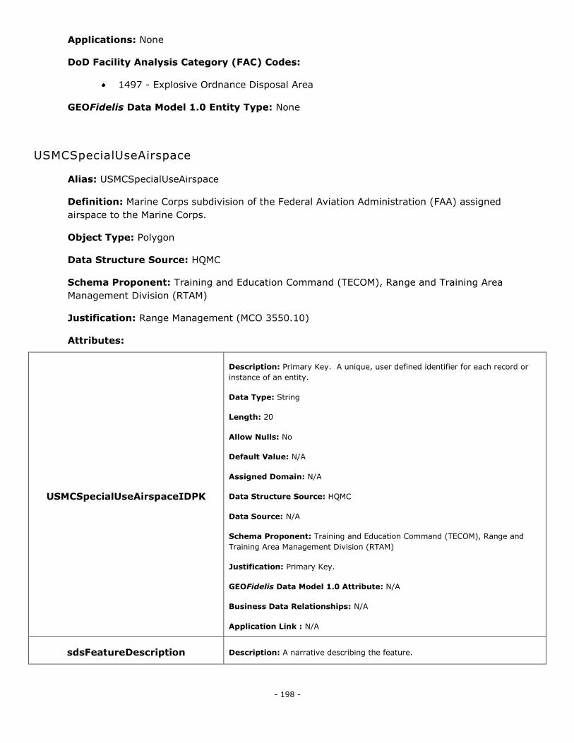
- 198 -
Applications: None
DoD Facility Analysis Category (FAC) Codes:
1497 - Explosive Ordnance Disposal Area
GEOFidelis Data Model 1.0 Entity Type: None
USMCSpecialUseAirspace
Alias: USMCSpecialUseAirspace
Definition: Marine Corps subdivision of the Federal Aviation Administration (FAA) assigned
airspace to the Marine Corps.
Object Type: Polygon
Data Structure Source: HQMC
Schema Proponent: Training and Education Command (TECOM), Range and Training Area
Management Division (RTAM)
Justification: Range Management (MCO 3550.10)
Attributes:
USMCSpecialUseAirspaceIDPK
Description: Primary Key. A unique, user defined identifier for each record or
instance of an entity.
Data Type: String
Length: 20
Allow Nulls: No
Default Value: N/A
Assigned Domain: N/A
Data Structure Source: HQMC
Data Source: N/A
Schema Proponent: Training and Education Command (TECOM), Range and
Training Area Management Division (RTAM)
Justification: Primary Key.
GEOFidelis Data Model 1.0 Attribute: N/A
Business Data Relationships: N/A
Application Link : N/A
sdsFeatureDescription Description: A narrative describing the feature.
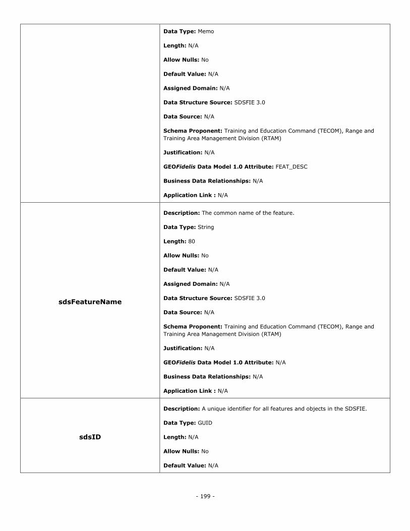
- 199 -
Data Type: Memo
Length: N/A
Allow Nulls: No
Default Value: N/A
Assigned Domain: N/A
Data Structure Source: SDSFIE 3.0
Data Source: N/A
Schema Proponent: Training and Education Command (TECOM), Range and
Training Area Management Division (RTAM)
Justification: N/A
GEOFidelis Data Model 1.0 Attribute: FEAT_DESC
Business Data Relationships: N/A
Application Link : N/A
sdsFeatureName
Description: The common name of the feature.
Data Type: String
Length: 80
Allow Nulls: No
Default Value: N/A
Assigned Domain: N/A
Data Structure Source: SDSFIE 3.0
Data Source: N/A
Schema Proponent: Training and Education Command (TECOM), Range and
Training Area Management Division (RTAM)
Justification: N/A
GEOFidelis Data Model 1.0 Attribute: N/A
Business Data Relationships: N/A
Application Link : N/A
sdsID
Description: A unique identifier for all features and objects in the SDSFIE.
Data Type: GUID
Length: N/A
Allow Nulls: No
Default Value: N/A
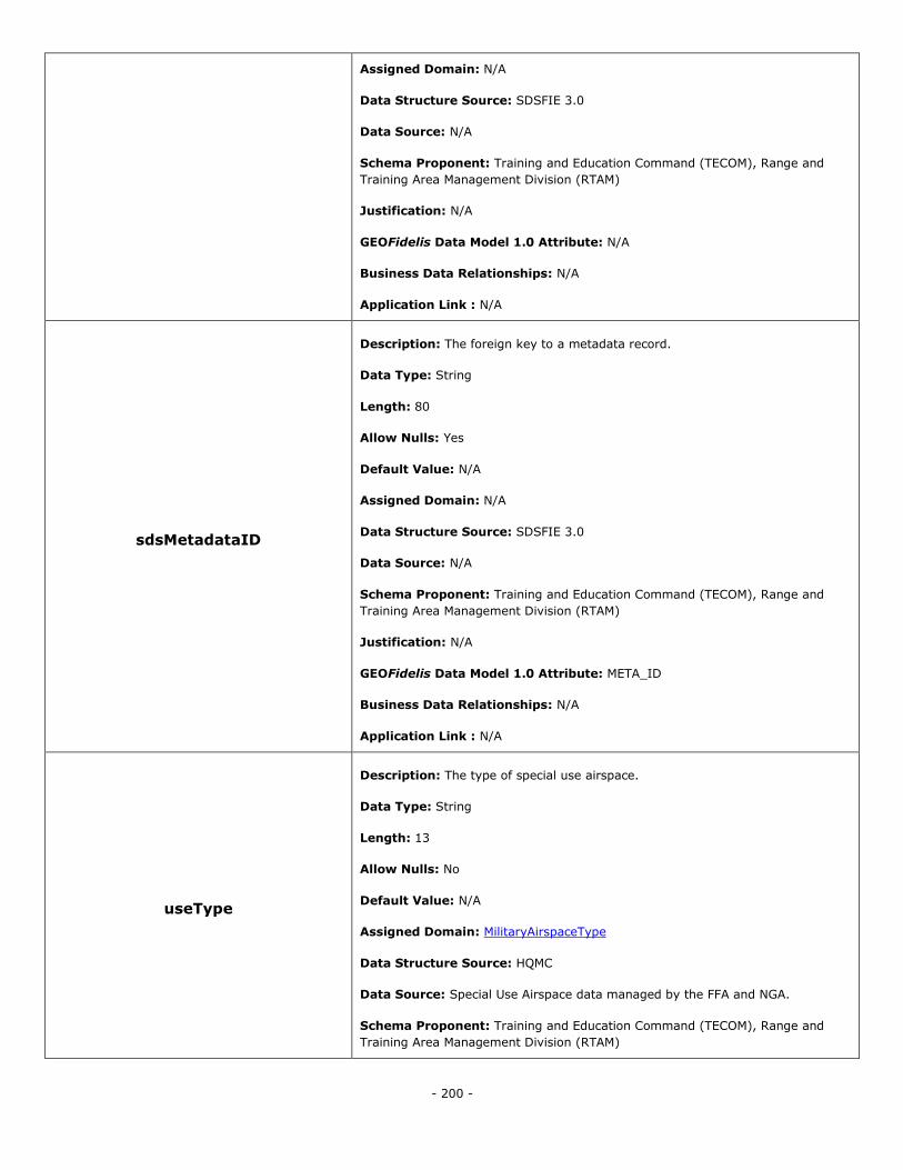
- 200 -
Assigned Domain: N/A
Data Structure Source: SDSFIE 3.0
Data Source: N/A
Schema Proponent: Training and Education Command (TECOM), Range and
Training Area Management Division (RTAM)
Justification: N/A
GEOFidelis Data Model 1.0 Attribute: N/A
Business Data Relationships: N/A
Application Link : N/A
sdsMetadataID
Description: The foreign key to a metadata record.
Data Type: String
Length: 80
Allow Nulls: Yes
Default Value: N/A
Assigned Domain: N/A
Data Structure Source: SDSFIE 3.0
Data Source: N/A
Schema Proponent: Training and Education Command (TECOM), Range and
Training Area Management Division (RTAM)
Justification: N/A
GEOFidelis Data Model 1.0 Attribute: META_ID
Business Data Relationships: N/A
Application Link : N/A
useType
Description: The type of special use airspace.
Data Type: String
Length: 13
Allow Nulls: No
Default Value: N/A
Assigned Domain: MilitaryAirspaceType
Data Structure Source: HQMC
Data Source: Special Use Airspace data managed by the FFA and NGA.
Schema Proponent: Training and Education Command (TECOM), Range and
Training Area Management Division (RTAM)
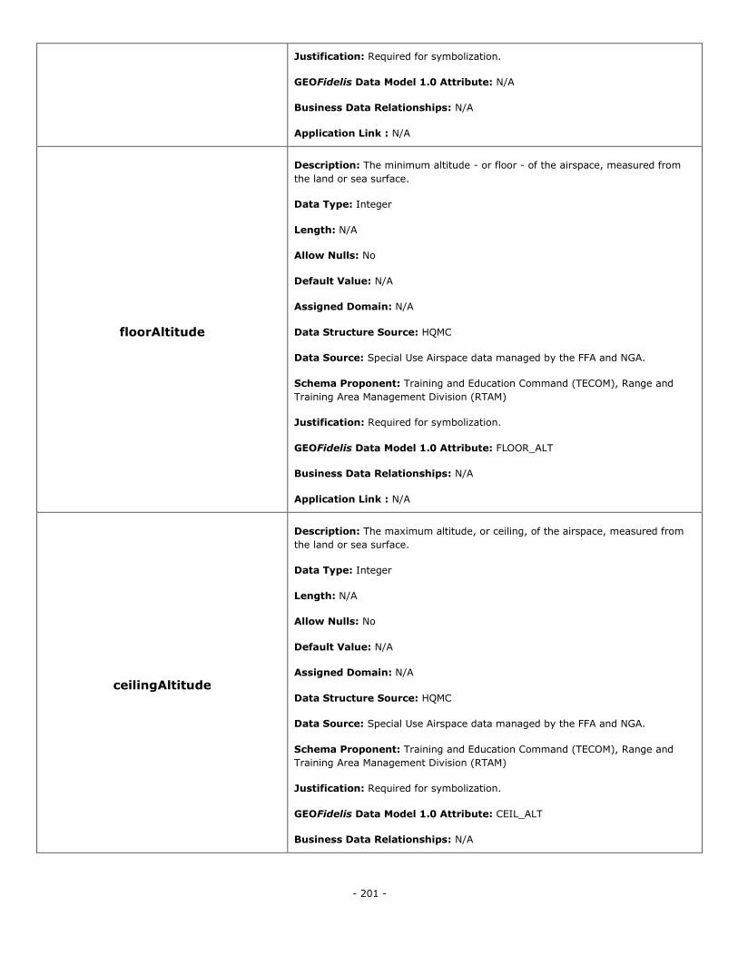
- 201 -
Justification: Required for symbolization.
GEOFidelis Data Model 1.0 Attribute: N/A
Business Data Relationships: N/A
Application Link : N/A
floorAltitude
Description: The minimum altitude - or floor - of the airspace, measured from
the land or sea surface.
Data Type: Integer
Length: N/A
Allow Nulls: No
Default Value: N/A
Assigned Domain: N/A
Data Structure Source: HQMC
Data Source: Special Use Airspace data managed by the FFA and NGA.
Schema Proponent: Training and Education Command (TECOM), Range and
Training Area Management Division (RTAM)
Justification: Required for symbolization.
GEOFidelis Data Model 1.0 Attribute: FLOOR_ALT
Business Data Relationships: N/A
Application Link : N/A
ceilingAltitude
Description: The maximum altitude, or ceiling, of the airspace, measured from
the land or sea surface.
Data Type: Integer
Length: N/A
Allow Nulls: No
Default Value: N/A
Assigned Domain: N/A
Data Structure Source: HQMC
Data Source: Special Use Airspace data managed by the FFA and NGA.
Schema Proponent: Training and Education Command (TECOM), Range and
Training Area Management Division (RTAM)
Justification: Required for symbolization.
GEOFidelis Data Model 1.0 Attribute: CEIL_ALT
Business Data Relationships: N/A
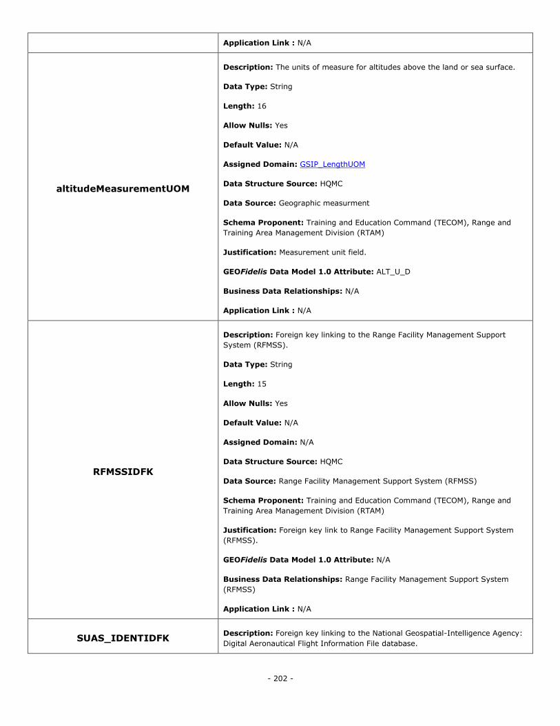
- 202 -
Application Link : N/A
altitudeMeasurementUOM
Description: The units of measure for altitudes above the land or sea surface.
Data Type: String
Length: 16
Allow Nulls: Yes
Default Value: N/A
Assigned Domain: GSIP_LengthUOM
Data Structure Source: HQMC
Data Source: Geographic measurment
Schema Proponent: Training and Education Command (TECOM), Range and
Training Area Management Division (RTAM)
Justification: Measurement unit field.
GEOFidelis Data Model 1.0 Attribute: ALT_U_D
Business Data Relationships: N/A
Application Link : N/A
RFMSSIDFK
Description: Foreign key linking to the Range Facility Management Support
System (RFMSS).
Data Type: String
Length: 15
Allow Nulls: Yes
Default Value: N/A
Assigned Domain: N/A
Data Structure Source: HQMC
Data Source: Range Facility Management Support System (RFMSS)
Schema Proponent: Training and Education Command (TECOM), Range and
Training Area Management Division (RTAM)
Justification: Foreign key link to Range Facility Management Support System
(RFMSS).
GEOFidelis Data Model 1.0 Attribute: N/A
Business Data Relationships: Range Facility Management Support System
(RFMSS)
Application Link : N/A
SUAS_IDENTIDFK Description: Foreign key linking to the National Geospatial-Intelligence Agency:
Digital Aeronautical Flight Information File database.
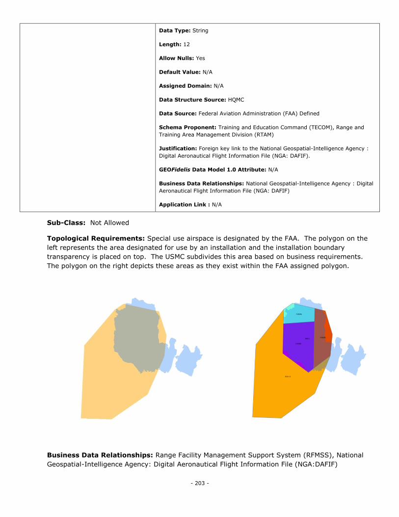
- 203 -
Data Type: String
Length: 12
Allow Nulls: Yes
Default Value: N/A
Assigned Domain: N/A
Data Structure Source: HQMC
Data Source: Federal Aviation Administration (FAA) Defined
Schema Proponent: Training and Education Command (TECOM), Range and
Training Area Management Division (RTAM)
Justification: Foreign key link to the National Geospatial-Intelligence Agency :
Digital Aeronautical Flight Information File (NGA: DAFIF).
GEOFidelis Data Model 1.0 Attribute: N/A
Business Data Relationships: National Geospatial-Intelligence Agency : Digital
Aeronautical Flight Information File (NGA: DAFIF)
Application Link : N/A
Sub-Class: Not Allowed
Topological Requirements: Special use airspace is designated by the FAA. The polygon on the
left represents the area designated for use by an installation and the installation boundary
transparency is placed on top. The USMC subdivides this area based on business requirements.
The polygon on the right depicts these areas as they exist within the FAA assigned polygon.
Business Data Relationships: Range Facility Management Support System (RFMSS), National
Geospatial-Intelligence Agency: Digital Aeronautical Flight Information File (NGA:DAFIF)
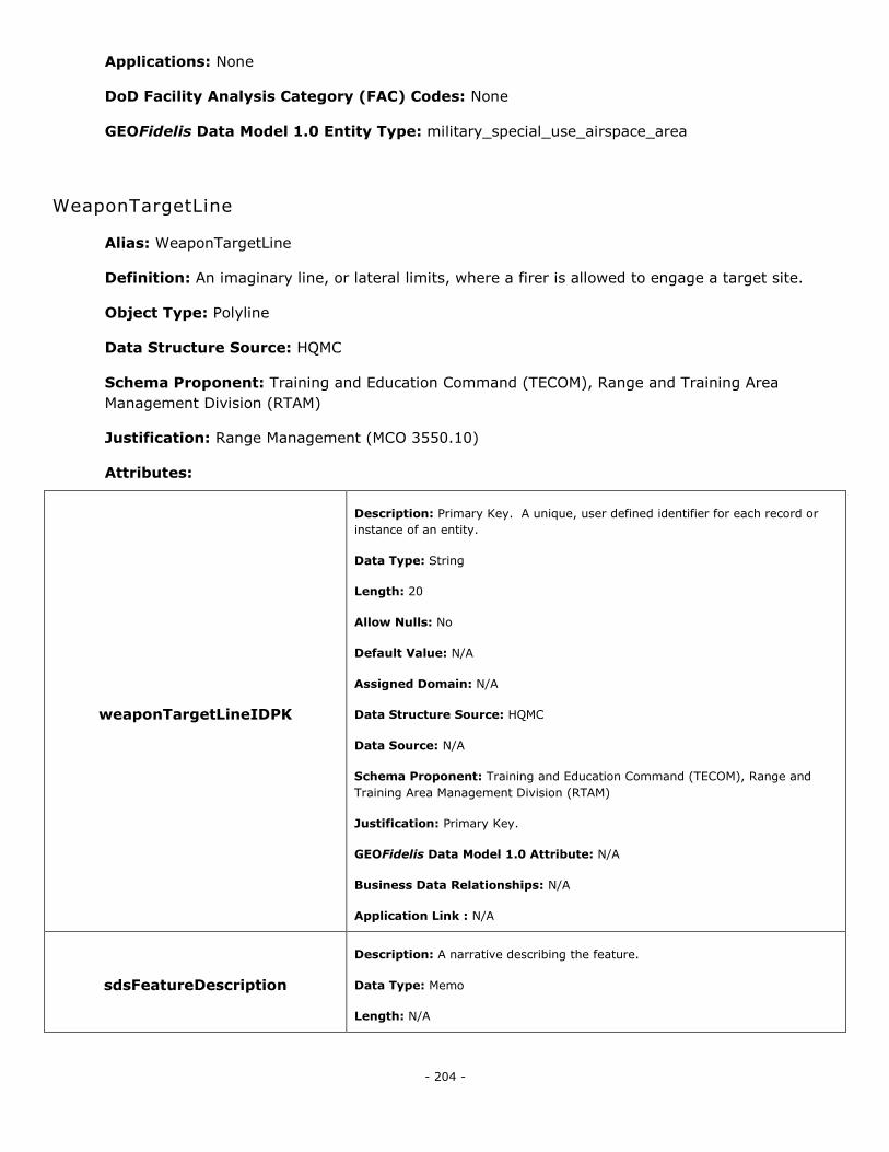
- 204 -
Applications: None
DoD Facility Analysis Category (FAC) Codes: None
GEOFidelis Data Model 1.0 Entity Type: military_special_use_airspace_area
WeaponTargetLine
Alias: WeaponTargetLine
Definition: An imaginary line, or lateral limits, where a firer is allowed to engage a target site.
Object Type: Polyline
Data Structure Source: HQMC
Schema Proponent: Training and Education Command (TECOM), Range and Training Area
Management Division (RTAM)
Justification: Range Management (MCO 3550.10)
Attributes:
weaponTargetLineIDPK
Description: Primary Key. A unique, user defined identifier for each record or
instance of an entity.
Data Type: String
Length: 20
Allow Nulls: No
Default Value: N/A
Assigned Domain: N/A
Data Structure Source: HQMC
Data Source: N/A
Schema Proponent: Training and Education Command (TECOM), Range and
Training Area Management Division (RTAM)
Justification: Primary Key.
GEOFidelis Data Model 1.0 Attribute: N/A
Business Data Relationships: N/A
Application Link : N/A
sdsFeatureDescription
Description: A narrative describing the feature.
Data Type: Memo
Length: N/A
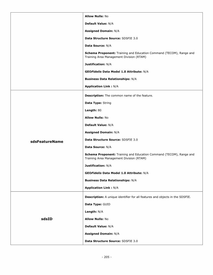
- 205 -
Allow Nulls: No
Default Value: N/A
Assigned Domain: N/A
Data Structure Source: SDSFIE 3.0
Data Source: N/A
Schema Proponent: Training and Education Command (TECOM), Range and
Training Area Management Division (RTAM)
Justification: N/A
GEOFidelis Data Model 1.0 Attribute: N/A
Business Data Relationships: N/A
Application Link : N/A
sdsFeatureName
Description: The common name of the feature.
Data Type: String
Length: 80
Allow Nulls: No
Default Value: N/A
Assigned Domain: N/A
Data Structure Source: SDSFIE 3.0
Data Source: N/A
Schema Proponent: Training and Education Command (TECOM), Range and
Training Area Management Division (RTAM)
Justification: N/A
GEOFidelis Data Model 1.0 Attribute: N/A
Business Data Relationships: N/A
Application Link : N/A
sdsID
Description: A unique identifier for all features and objects in the SDSFIE.
Data Type: GUID
Length: N/A
Allow Nulls: No
Default Value: N/A
Assigned Domain: N/A
Data Structure Source: SDSFIE 3.0
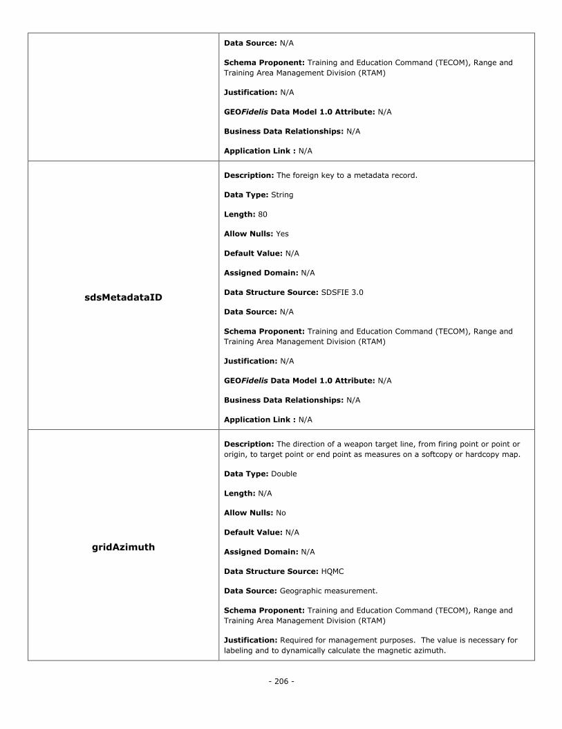
- 206 -
Data Source: N/A
Schema Proponent: Training and Education Command (TECOM), Range and
Training Area Management Division (RTAM)
Justification: N/A
GEOFidelis Data Model 1.0 Attribute: N/A
Business Data Relationships: N/A
Application Link : N/A
sdsMetadataID
Description: The foreign key to a metadata record.
Data Type: String
Length: 80
Allow Nulls: Yes
Default Value: N/A
Assigned Domain: N/A
Data Structure Source: SDSFIE 3.0
Data Source: N/A
Schema Proponent: Training and Education Command (TECOM), Range and
Training Area Management Division (RTAM)
Justification: N/A
GEOFidelis Data Model 1.0 Attribute: N/A
Business Data Relationships: N/A
Application Link : N/A
gridAzimuth
Description: The direction of a weapon target line, from firing point or point or
origin, to target point or end point as measures on a softcopy or hardcopy map.
Data Type: Double
Length: N/A
Allow Nulls: No
Default Value: N/A
Assigned Domain: N/A
Data Structure Source: HQMC
Data Source: Geographic measurement.
Schema Proponent: Training and Education Command (TECOM), Range and
Training Area Management Division (RTAM)
Justification: Required for management purposes. The value is necessary for
labeling and to dynamically calculate the magnetic azimuth.
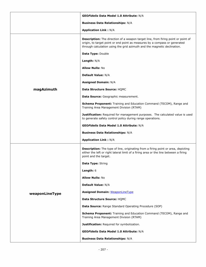
- 207 -
GEOFidelis Data Model 1.0 Attribute: N/A
Business Data Relationships: N/A
Application Link : N/A
magAzimuth
Description: The direction of a weapon target line, from firing point or point of
origin, to target point or end point as measures by a compass or generated
through calculation using the grid azimuth and the magnetic declination.
Data Type: Double
Length: N/A
Allow Nulls: No
Default Value: N/A
Assigned Domain: N/A
Data Structure Source: HQMC
Data Source: Geographic measurement.
Schema Proponent: Training and Education Command (TECOM), Range and
Training Area Management Division (RTAM)
Justification: Required for management purposes. The calculated value is used
to generate safety control policy during range operations.
GEOFidelis Data Model 1.0 Attribute: N/A
Business Data Relationships: N/A
Application Link : N/A
weaponLineType
Description: The type of line, originating from a firing point or area, depicting
either the left or right lateral limit of a firing area or the line between a firing
point and the target.
Data Type: String
Length: 6
Allow Nulls: No
Default Value: N/A
Assigned Domain: WeaponLineType
Data Structure Source: HQMC
Data Source: Range Standard Operating Procedure (SOP)
Schema Proponent: Training and Education Command (TECOM), Range and
Training Area Management Division (RTAM)
Justification: Required for symbolization.
GEOFidelis Data Model 1.0 Attribute: N/A
Business Data Relationships: N/A
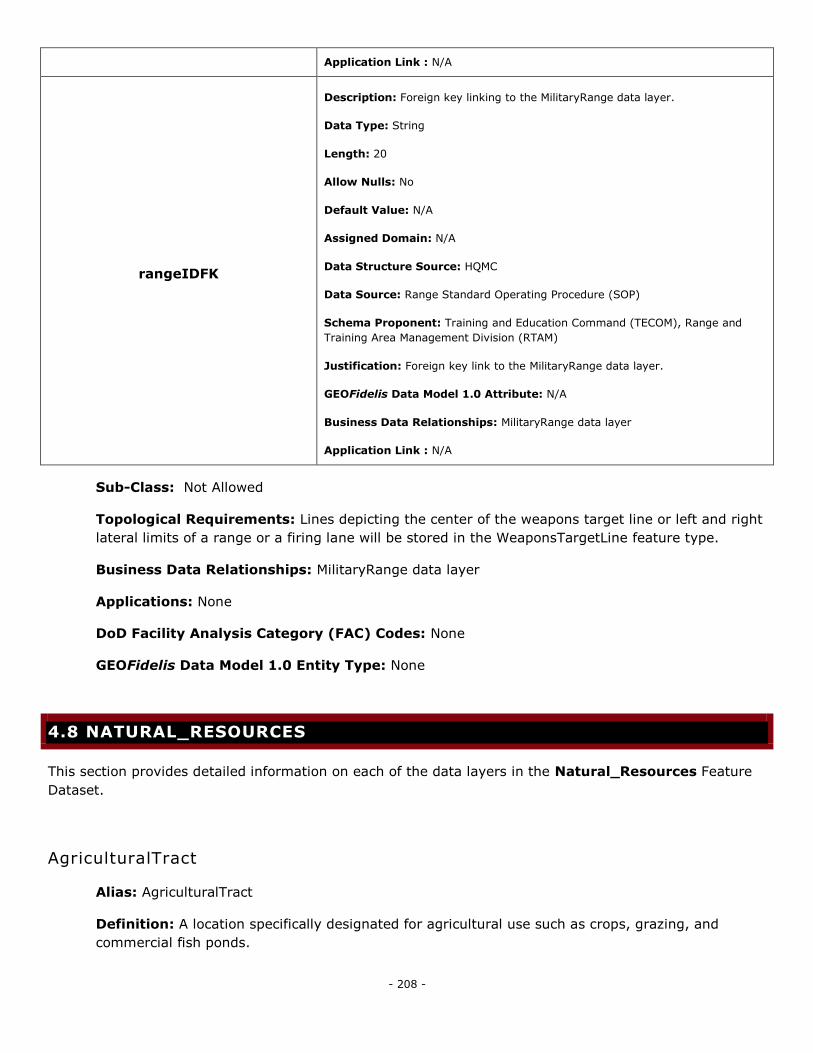
- 208 -
Application Link : N/A
rangeIDFK
Description: Foreign key linking to the MilitaryRange data layer.
Data Type: String
Length: 20
Allow Nulls: No
Default Value: N/A
Assigned Domain: N/A
Data Structure Source: HQMC
Data Source: Range Standard Operating Procedure (SOP)
Schema Proponent: Training and Education Command (TECOM), Range and
Training Area Management Division (RTAM)
Justification: Foreign key link to the MilitaryRange data layer.
GEOFidelis Data Model 1.0 Attribute: N/A
Business Data Relationships: MilitaryRange data layer
Application Link : N/A
Sub-Class: Not Allowed
Topological Requirements: Lines depicting the center of the weapons target line or left and right
lateral limits of a range or a firing lane will be stored in the WeaponsTargetLine feature type.
Business Data Relationships: MilitaryRange data layer
Applications: None
DoD Facility Analysis Category (FAC) Codes: None
GEOFidelis Data Model 1.0 Entity Type: None
4.8 NATURAL_RESOURCES
This section provides detailed information on each of the data layers in the Natural_Resources Feature
Dataset.
AgriculturalTract
Alias: AgriculturalTract
Definition: A location specifically designated for agricultural use such as crops, grazing, and
commercial fish ponds.
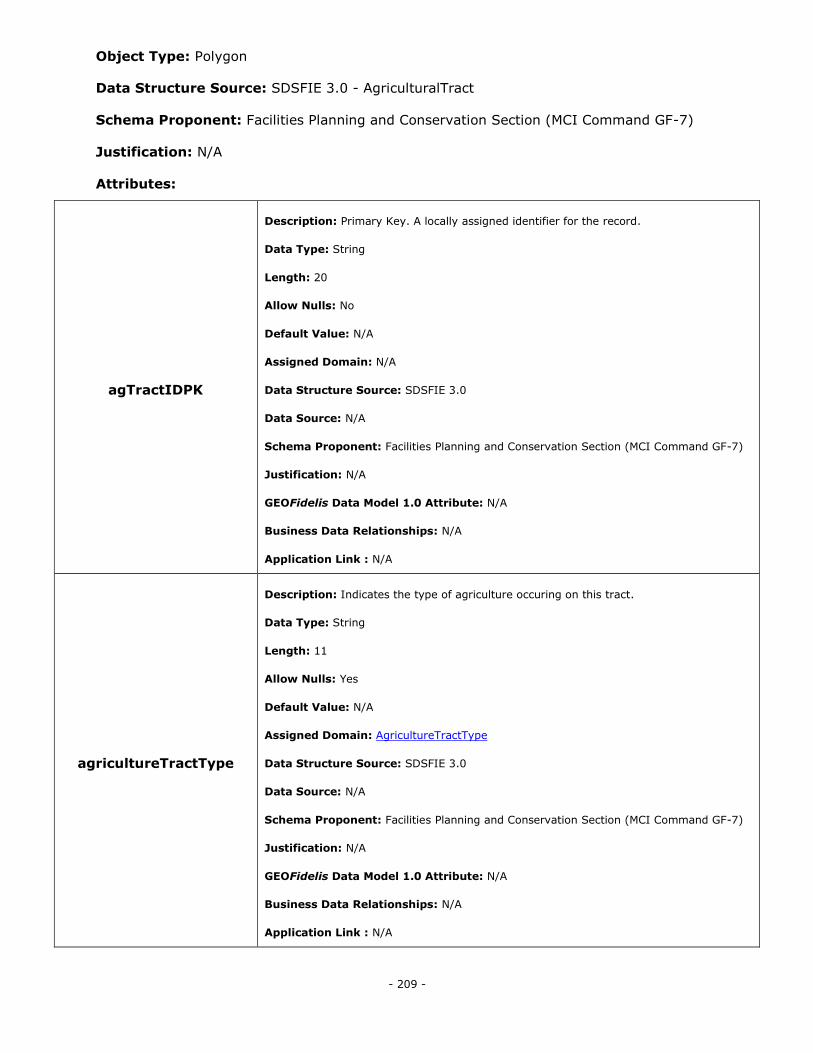
- 209 -
Object Type: Polygon
Data Structure Source: SDSFIE 3.0 - AgriculturalTract
Schema Proponent: Facilities Planning and Conservation Section (MCI Command GF-7)
Justification: N/A
Attributes:
agTractIDPK
Description: Primary Key. A locally assigned identifier for the record.
Data Type: String
Length: 20
Allow Nulls: No
Default Value: N/A
Assigned Domain: N/A
Data Structure Source: SDSFIE 3.0
Data Source: N/A
Schema Proponent: Facilities Planning and Conservation Section (MCI Command GF-7)
Justification: N/A
GEOFidelis Data Model 1.0 Attribute: N/A
Business Data Relationships: N/A
Application Link : N/A
agricultureTractType
Description: Indicates the type of agriculture occuring on this tract.
Data Type: String
Length: 11
Allow Nulls: Yes
Default Value: N/A
Assigned Domain: AgricultureTractType
Data Structure Source: SDSFIE 3.0
Data Source: N/A
Schema Proponent: Facilities Planning and Conservation Section (MCI Command GF-7)
Justification: N/A
GEOFidelis Data Model 1.0 Attribute: N/A
Business Data Relationships: N/A
Application Link : N/A
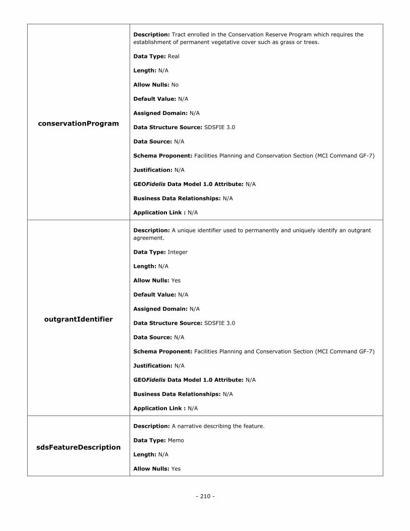
- 210 -
conservationProgram
Description: Tract enrolled in the Conservation Reserve Program which requires the
establishment of permanent vegetative cover such as grass or trees.
Data Type: Real
Length: N/A
Allow Nulls: No
Default Value: N/A
Assigned Domain: N/A
Data Structure Source: SDSFIE 3.0
Data Source: N/A
Schema Proponent: Facilities Planning and Conservation Section (MCI Command GF-7)
Justification: N/A
GEOFidelis Data Model 1.0 Attribute: N/A
Business Data Relationships: N/A
Application Link : N/A
outgrantIdentifier
Description: A unique identifier used to permanently and uniquely identify an outgrant
agreement.
Data Type: Integer
Length: N/A
Allow Nulls: Yes
Default Value: N/A
Assigned Domain: N/A
Data Structure Source: SDSFIE 3.0
Data Source: N/A
Schema Proponent: Facilities Planning and Conservation Section (MCI Command GF-7)
Justification: N/A
GEOFidelis Data Model 1.0 Attribute: N/A
Business Data Relationships: N/A
Application Link : N/A
sdsFeatureDescription
Description: A narrative describing the feature.
Data Type: Memo
Length: N/A
Allow Nulls: Yes
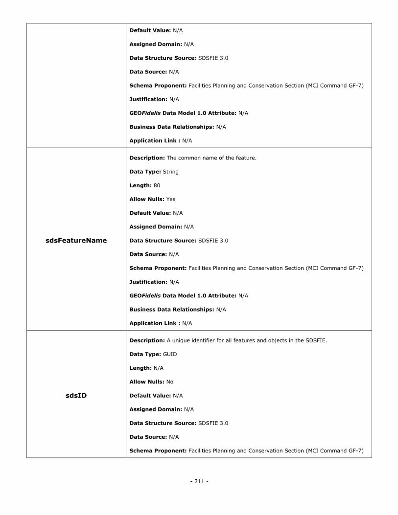
- 211 -
Default Value: N/A
Assigned Domain: N/A
Data Structure Source: SDSFIE 3.0
Data Source: N/A
Schema Proponent: Facilities Planning and Conservation Section (MCI Command GF-7)
Justification: N/A
GEOFidelis Data Model 1.0 Attribute: N/A
Business Data Relationships: N/A
Application Link : N/A
sdsFeatureName
Description: The common name of the feature.
Data Type: String
Length: 80
Allow Nulls: Yes
Default Value: N/A
Assigned Domain: N/A
Data Structure Source: SDSFIE 3.0
Data Source: N/A
Schema Proponent: Facilities Planning and Conservation Section (MCI Command GF-7)
Justification: N/A
GEOFidelis Data Model 1.0 Attribute: N/A
Business Data Relationships: N/A
Application Link : N/A
sdsID
Description: A unique identifier for all features and objects in the SDSFIE.
Data Type: GUID
Length: N/A
Allow Nulls: No
Default Value: N/A
Assigned Domain: N/A
Data Structure Source: SDSFIE 3.0
Data Source: N/A
Schema Proponent: Facilities Planning and Conservation Section (MCI Command GF-7)
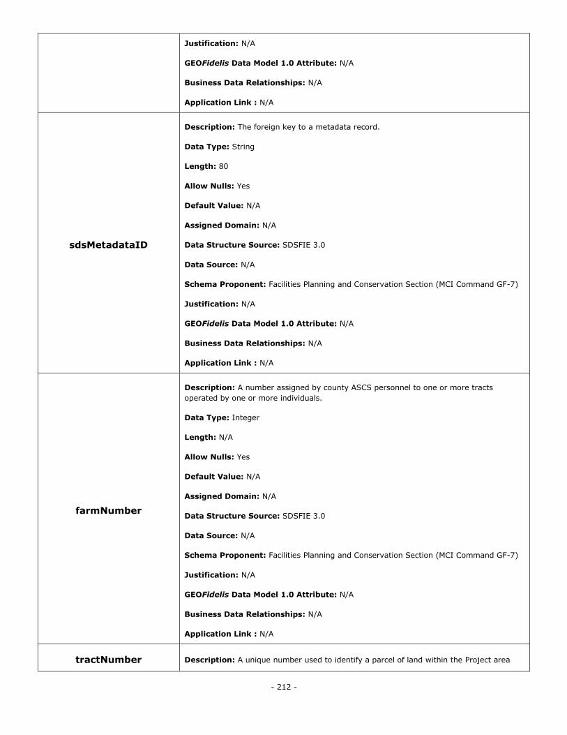
- 212 -
Justification: N/A
GEOFidelis Data Model 1.0 Attribute: N/A
Business Data Relationships: N/A
Application Link : N/A
sdsMetadataID
Description: The foreign key to a metadata record.
Data Type: String
Length: 80
Allow Nulls: Yes
Default Value: N/A
Assigned Domain: N/A
Data Structure Source: SDSFIE 3.0
Data Source: N/A
Schema Proponent: Facilities Planning and Conservation Section (MCI Command GF-7)
Justification: N/A
GEOFidelis Data Model 1.0 Attribute: N/A
Business Data Relationships: N/A
Application Link : N/A
farmNumber
Description: A number assigned by county ASCS personnel to one or more tracts
operated by one or more individuals.
Data Type: Integer
Length: N/A
Allow Nulls: Yes
Default Value: N/A
Assigned Domain: N/A
Data Structure Source: SDSFIE 3.0
Data Source: N/A
Schema Proponent: Facilities Planning and Conservation Section (MCI Command GF-7)
Justification: N/A
GEOFidelis Data Model 1.0 Attribute: N/A
Business Data Relationships: N/A
Application Link : N/A
tractNumber Description: A unique number used to identify a parcel of land within the Project area
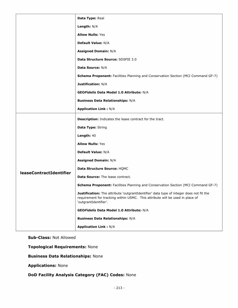
- 213 -
Data Type: Real
Length: N/A
Allow Nulls: Yes
Default Value: N/A
Assigned Domain: N/A
Data Structure Source: SDSFIE 3.0
Data Source: N/A
Schema Proponent: Facilities Planning and Conservation Section (MCI Command GF-7)
Justification: N/A
GEOFidelis Data Model 1.0 Attribute: N/A
Business Data Relationships: N/A
Application Link : N/A
leaseContractIdentifier
Description: Indicates the lease contract for the tract.
Data Type: String
Length: 40
Allow Nulls: Yes
Default Value: N/A
Assigned Domain: N/A
Data Structure Source: HQMC
Data Source: The lease contract.
Schema Proponent: Facilities Planning and Conservation Section (MCI Command GF-7)
Justification: The attribute ‗outgrantIdentifier‘ data type of integer does not fit the
requirement for tracking within USMC. This attribute will be used in place of
‗outgrantIdentifier‘.
GEOFidelis Data Model 1.0 Attribute: N/A
Business Data Relationships: N/A
Application Link : N/A
Sub-Class: Not Allowed
Topological Requirements: None
Business Data Relationships: None
Applications: None
DoD Facility Analysis Category (FAC) Codes: None
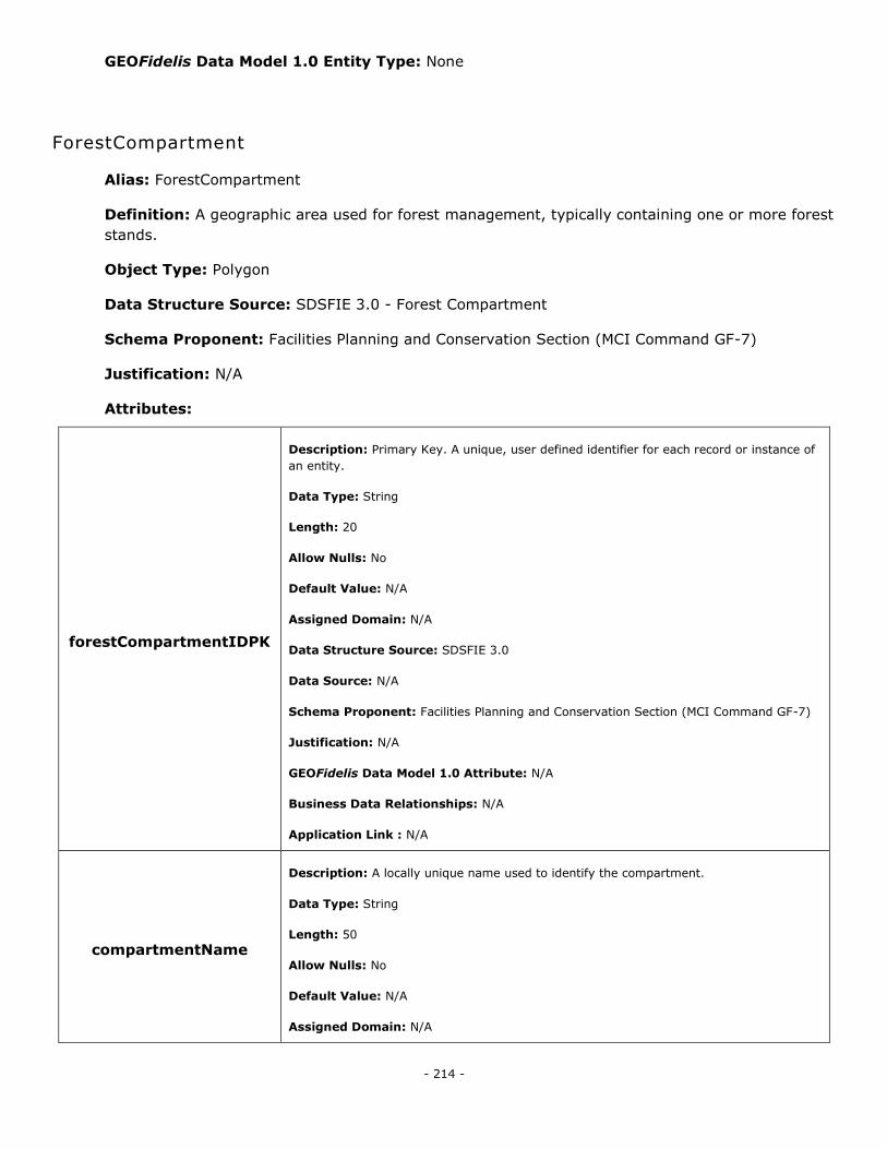
- 214 -
GEOFidelis Data Model 1.0 Entity Type: None
ForestCompartment
Alias: ForestCompartment
Definition: A geographic area used for forest management, typically containing one or more forest
stands.
Object Type: Polygon
Data Structure Source: SDSFIE 3.0 - Forest Compartment
Schema Proponent: Facilities Planning and Conservation Section (MCI Command GF-7)
Justification: N/A
Attributes:
forestCompartmentIDPK
Description: Primary Key. A unique, user defined identifier for each record or instance of
an entity.
Data Type: String
Length: 20
Allow Nulls: No
Default Value: N/A
Assigned Domain: N/A
Data Structure Source: SDSFIE 3.0
Data Source: N/A
Schema Proponent: Facilities Planning and Conservation Section (MCI Command GF-7)
Justification: N/A
GEOFidelis Data Model 1.0 Attribute: N/A
Business Data Relationships: N/A
Application Link : N/A
compartmentName
Description: A locally unique name used to identify the compartment.
Data Type: String
Length: 50
Allow Nulls: No
Default Value: N/A
Assigned Domain: N/A
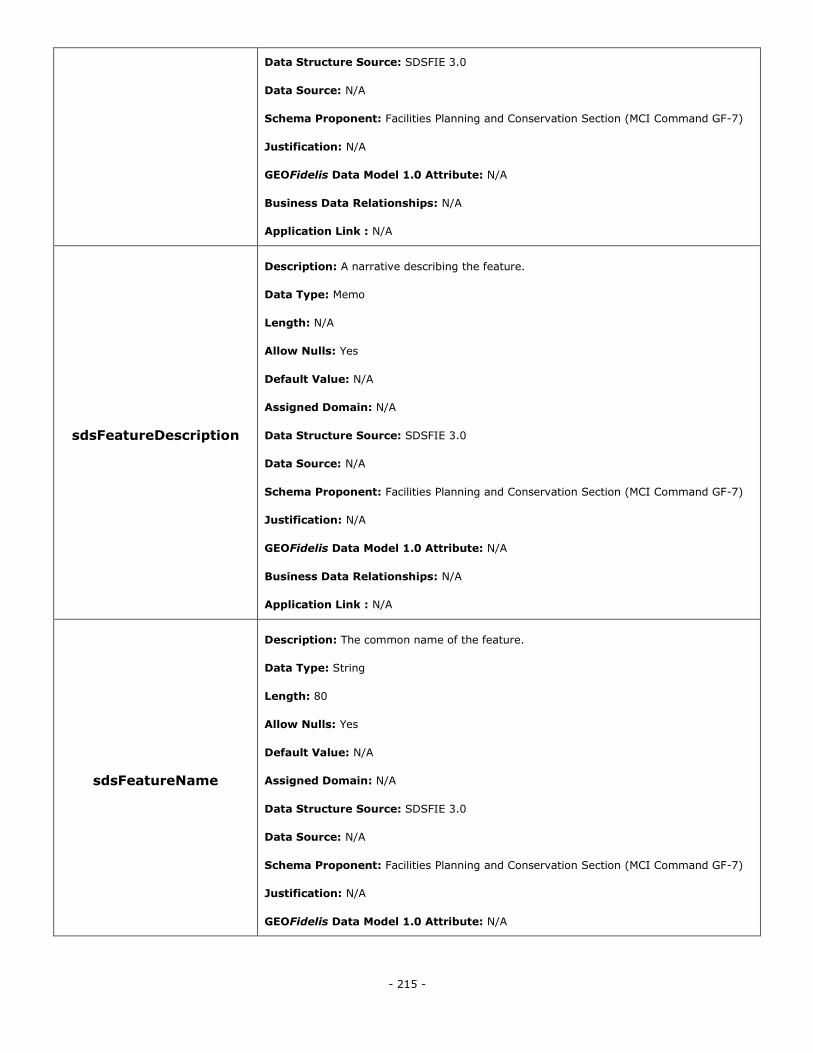
- 215 -
Data Structure Source: SDSFIE 3.0
Data Source: N/A
Schema Proponent: Facilities Planning and Conservation Section (MCI Command GF-7)
Justification: N/A
GEOFidelis Data Model 1.0 Attribute: N/A
Business Data Relationships: N/A
Application Link : N/A
sdsFeatureDescription
Description: A narrative describing the feature.
Data Type: Memo
Length: N/A
Allow Nulls: Yes
Default Value: N/A
Assigned Domain: N/A
Data Structure Source: SDSFIE 3.0
Data Source: N/A
Schema Proponent: Facilities Planning and Conservation Section (MCI Command GF-7)
Justification: N/A
GEOFidelis Data Model 1.0 Attribute: N/A
Business Data Relationships: N/A
Application Link : N/A
sdsFeatureName
Description: The common name of the feature.
Data Type: String
Length: 80
Allow Nulls: Yes
Default Value: N/A
Assigned Domain: N/A
Data Structure Source: SDSFIE 3.0
Data Source: N/A
Schema Proponent: Facilities Planning and Conservation Section (MCI Command GF-7)
Justification: N/A
GEOFidelis Data Model 1.0 Attribute: N/A

- 216 -
Business Data Relationships: N/A
Application Link : N/A
sdsID
Description: A unique identifier for all features and objects in the SDSFIE.
Data Type: GUID
Length: N/A
Allow Nulls: No
Default Value: N/A
Assigned Domain: N/A
Data Structure Source: SDSFIE 3.0
Data Source: N/A
Schema Proponent: Facilities Planning and Conservation Section (MCI Command GF-7)
Justification: N/A
GEOFidelis Data Model 1.0 Attribute: N/A
Business Data Relationships: N/A
Application Link : N/A
sdsMetadataID
Description: The foreign key to a metadata record.
Data Type: String
Length: 80
Allow Nulls: Yes
Default Value: N/A
Assigned Domain: N/A
Data Structure Source: SDSFIE 3.0
Data Source: N/A
Schema Proponent: Facilities Planning and Conservation Section (MCI Command GF-7)
Justification: N/A
GEOFidelis Data Model 1.0 Attribute: N/A
Business Data Relationships: N/A
Application Link : N/A
Sub-Class: Not Allowed
Topological Requirements: None
Business Data Relationships: None
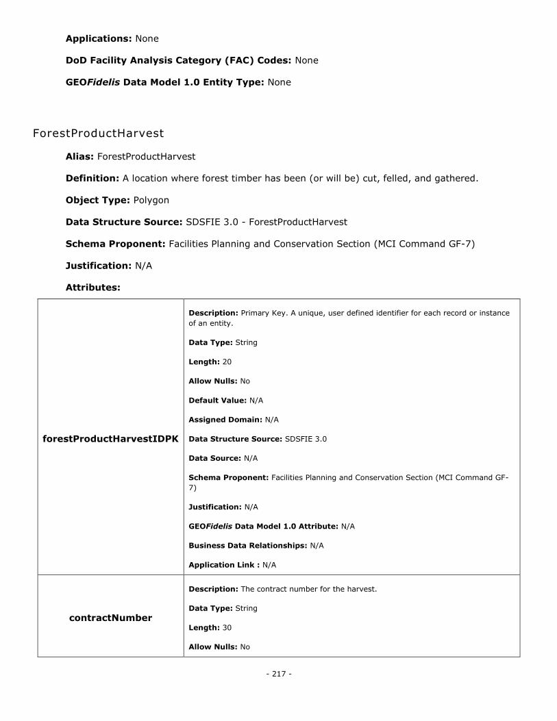
- 217 -
Applications: None
DoD Facility Analysis Category (FAC) Codes: None
GEOFidelis Data Model 1.0 Entity Type: None
ForestProductHarvest
Alias: ForestProductHarvest
Definition: A location where forest timber has been (or will be) cut, felled, and gathered.
Object Type: Polygon
Data Structure Source: SDSFIE 3.0 - ForestProductHarvest
Schema Proponent: Facilities Planning and Conservation Section (MCI Command GF-7)
Justification: N/A
Attributes:
forestProductHarvestIDPK
Description: Primary Key. A unique, user defined identifier for each record or instance
of an entity.
Data Type: String
Length: 20
Allow Nulls: No
Default Value: N/A
Assigned Domain: N/A
Data Structure Source: SDSFIE 3.0
Data Source: N/A
Schema Proponent: Facilities Planning and Conservation Section (MCI Command GF-
7)
Justification: N/A
GEOFidelis Data Model 1.0 Attribute: N/A
Business Data Relationships: N/A
Application Link : N/A
contractNumber
Description: The contract number for the harvest.
Data Type: String
Length: 30
Allow Nulls: No
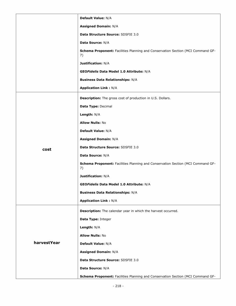
- 218 -
Default Value: N/A
Assigned Domain: N/A
Data Structure Source: SDSFIE 3.0
Data Source: N/A
Schema Proponent: Facilities Planning and Conservation Section (MCI Command GF-
7)
Justification: N/A
GEOFidelis Data Model 1.0 Attribute: N/A
Business Data Relationships: N/A
Application Link : N/A
cost
Description: The gross cost of production in U.S. Dollars.
Data Type: Decimal
Length: N/A
Allow Nulls: No
Default Value: N/A
Assigned Domain: N/A
Data Structure Source: SDSFIE 3.0
Data Source: N/A
Schema Proponent: Facilities Planning and Conservation Section (MCI Command GF-
7)
Justification: N/A
GEOFidelis Data Model 1.0 Attribute: N/A
Business Data Relationships: N/A
Application Link : N/A
harvestYear
Description: The calendar year in which the harvest occurred.
Data Type: Integer
Length: N/A
Allow Nulls: No
Default Value: N/A
Assigned Domain: N/A
Data Structure Source: SDSFIE 3.0
Data Source: N/A
Schema Proponent: Facilities Planning and Conservation Section (MCI Command GF-
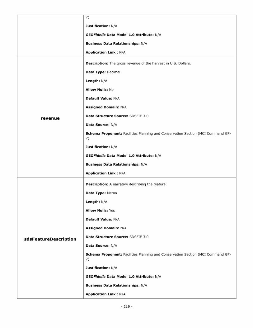
- 219 -
7)
Justification: N/A
GEOFidelis Data Model 1.0 Attribute: N/A
Business Data Relationships: N/A
Application Link : N/A
revenue
Description: The gross revenue of the harvest in U.S. Dollars.
Data Type: Decimal
Length: N/A
Allow Nulls: No
Default Value: N/A
Assigned Domain: N/A
Data Structure Source: SDSFIE 3.0
Data Source: N/A
Schema Proponent: Facilities Planning and Conservation Section (MCI Command GF-
7)
Justification: N/A
GEOFidelis Data Model 1.0 Attribute: N/A
Business Data Relationships: N/A
Application Link : N/A
sdsFeatureDescription
Description: A narrative describing the feature.
Data Type: Memo
Length: N/A
Allow Nulls: Yes
Default Value: N/A
Assigned Domain: N/A
Data Structure Source: SDSFIE 3.0
Data Source: N/A
Schema Proponent: Facilities Planning and Conservation Section (MCI Command GF-
7)
Justification: N/A
GEOFidelis Data Model 1.0 Attribute: N/A
Business Data Relationships: N/A
Application Link : N/A
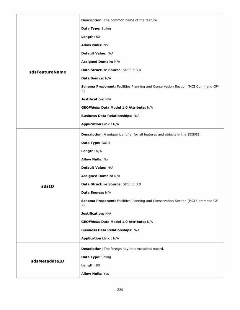
- 220 -
sdsFeatureName
Description: The common name of the feature.
Data Type: String
Length: 80
Allow Nulls: No
Default Value: N/A
Assigned Domain: N/A
Data Structure Source: SDSFIE 3.0
Data Source: N/A
Schema Proponent: Facilities Planning and Conservation Section (MCI Command GF-
7)
Justification: N/A
GEOFidelis Data Model 1.0 Attribute: N/A
Business Data Relationships: N/A
Application Link : N/A
sdsID
Description: A unique identifier for all features and objects in the SDSFIE.
Data Type: GUID
Length: N/A
Allow Nulls: No
Default Value: N/A
Assigned Domain: N/A
Data Structure Source: SDSFIE 3.0
Data Source: N/A
Schema Proponent: Facilities Planning and Conservation Section (MCI Command GF-
7)
Justification: N/A
GEOFidelis Data Model 1.0 Attribute: N/A
Business Data Relationships: N/A
Application Link : N/A
sdsMetadataID
Description: The foreign key to a metadata record.
Data Type: String
Length: 80
Allow Nulls: Yes
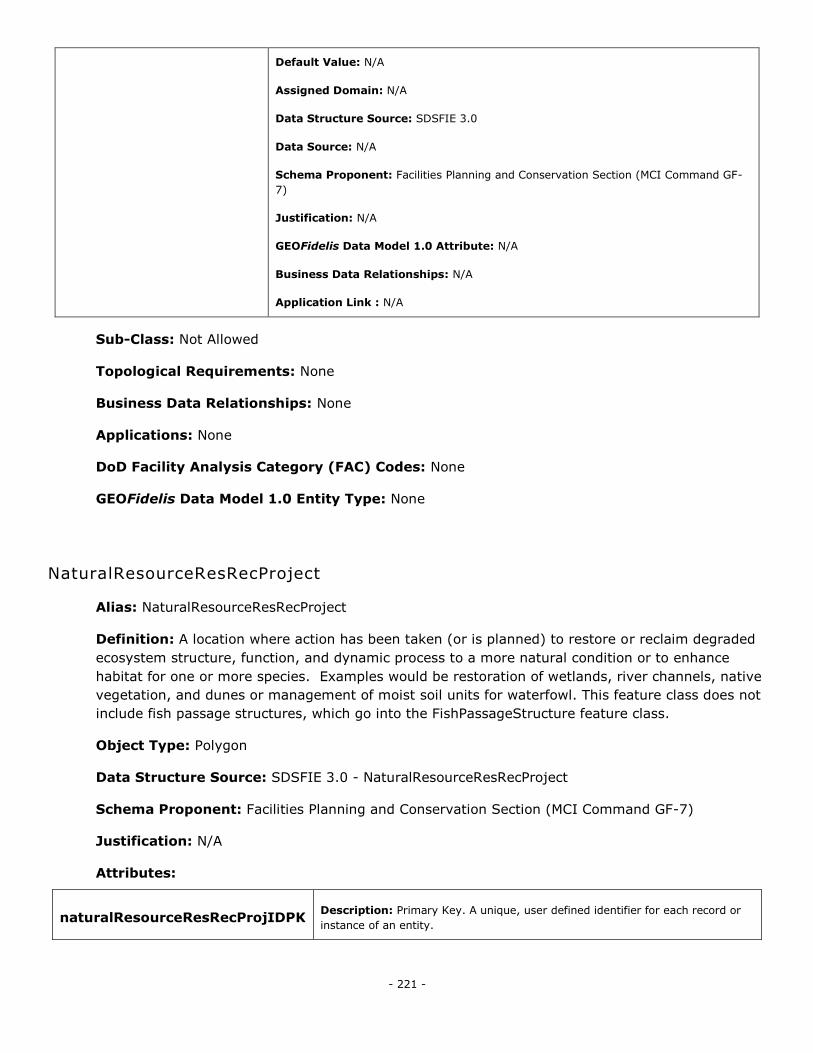
- 221 -
Default Value: N/A
Assigned Domain: N/A
Data Structure Source: SDSFIE 3.0
Data Source: N/A
Schema Proponent: Facilities Planning and Conservation Section (MCI Command GF-
7)
Justification: N/A
GEOFidelis Data Model 1.0 Attribute: N/A
Business Data Relationships: N/A
Application Link : N/A
Sub-Class: Not Allowed
Topological Requirements: None
Business Data Relationships: None
Applications: None
DoD Facility Analysis Category (FAC) Codes: None
GEOFidelis Data Model 1.0 Entity Type: None
NaturalResourceResRecProject
Alias: NaturalResourceResRecProject
Definition: A location where action has been taken (or is planned) to restore or reclaim degraded
ecosystem structure, function, and dynamic process to a more natural condition or to enhance
habitat for one or more species. Examples would be restoration of wetlands, river channels, native
vegetation, and dunes or management of moist soil units for waterfowl. This feature class does not
include fish passage structures, which go into the FishPassageStructure feature class.
Object Type: Polygon
Data Structure Source: SDSFIE 3.0 - NaturalResourceResRecProject
Schema Proponent: Facilities Planning and Conservation Section (MCI Command GF-7)
Justification: N/A
Attributes:
naturalResourceResRecProjIDPK Description: Primary Key. A unique, user defined identifier for each record or
instance of an entity.
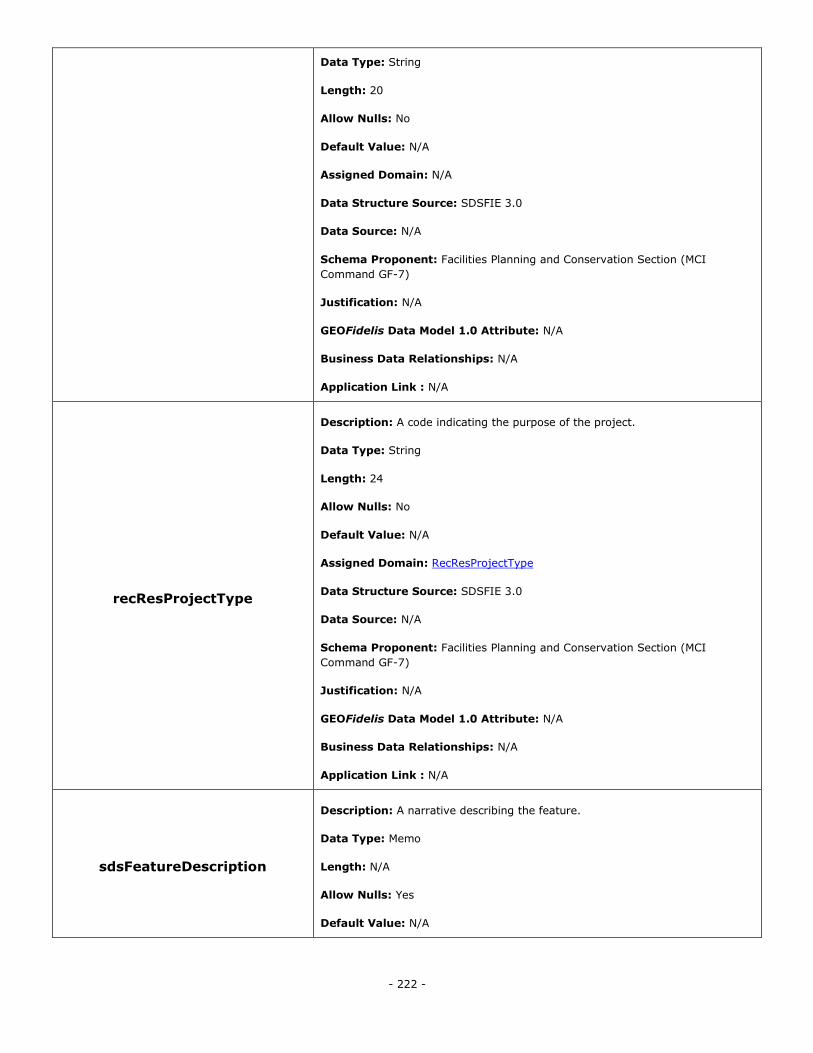
- 222 -
Data Type: String
Length: 20
Allow Nulls: No
Default Value: N/A
Assigned Domain: N/A
Data Structure Source: SDSFIE 3.0
Data Source: N/A
Schema Proponent: Facilities Planning and Conservation Section (MCI
Command GF-7)
Justification: N/A
GEOFidelis Data Model 1.0 Attribute: N/A
Business Data Relationships: N/A
Application Link : N/A
recResProjectType
Description: A code indicating the purpose of the project.
Data Type: String
Length: 24
Allow Nulls: No
Default Value: N/A
Assigned Domain: RecResProjectType
Data Structure Source: SDSFIE 3.0
Data Source: N/A
Schema Proponent: Facilities Planning and Conservation Section (MCI
Command GF-7)
Justification: N/A
GEOFidelis Data Model 1.0 Attribute: N/A
Business Data Relationships: N/A
Application Link : N/A
sdsFeatureDescription
Description: A narrative describing the feature.
Data Type: Memo
Length: N/A
Allow Nulls: Yes
Default Value: N/A
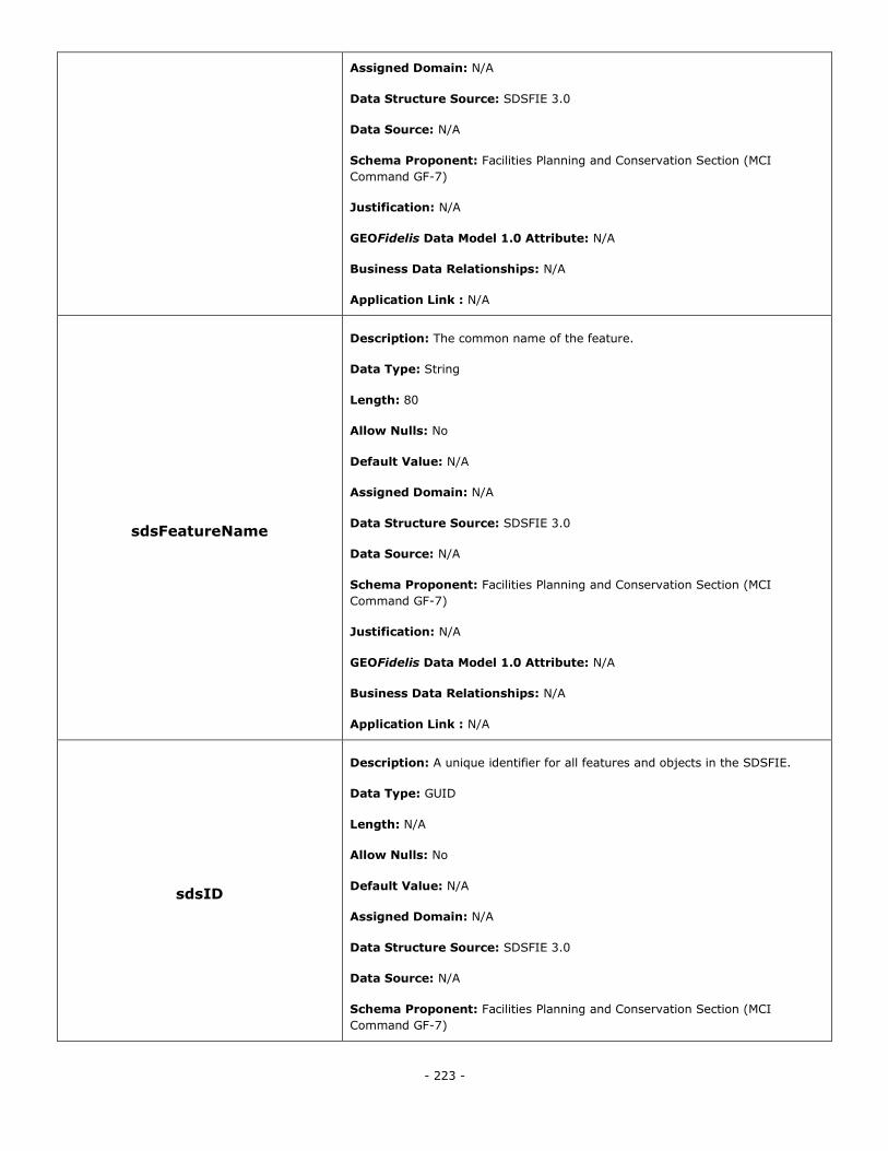
- 223 -
Assigned Domain: N/A
Data Structure Source: SDSFIE 3.0
Data Source: N/A
Schema Proponent: Facilities Planning and Conservation Section (MCI
Command GF-7)
Justification: N/A
GEOFidelis Data Model 1.0 Attribute: N/A
Business Data Relationships: N/A
Application Link : N/A
sdsFeatureName
Description: The common name of the feature.
Data Type: String
Length: 80
Allow Nulls: No
Default Value: N/A
Assigned Domain: N/A
Data Structure Source: SDSFIE 3.0
Data Source: N/A
Schema Proponent: Facilities Planning and Conservation Section (MCI
Command GF-7)
Justification: N/A
GEOFidelis Data Model 1.0 Attribute: N/A
Business Data Relationships: N/A
Application Link : N/A
sdsID
Description: A unique identifier for all features and objects in the SDSFIE.
Data Type: GUID
Length: N/A
Allow Nulls: No
Default Value: N/A
Assigned Domain: N/A
Data Structure Source: SDSFIE 3.0
Data Source: N/A
Schema Proponent: Facilities Planning and Conservation Section (MCI
Command GF-7)
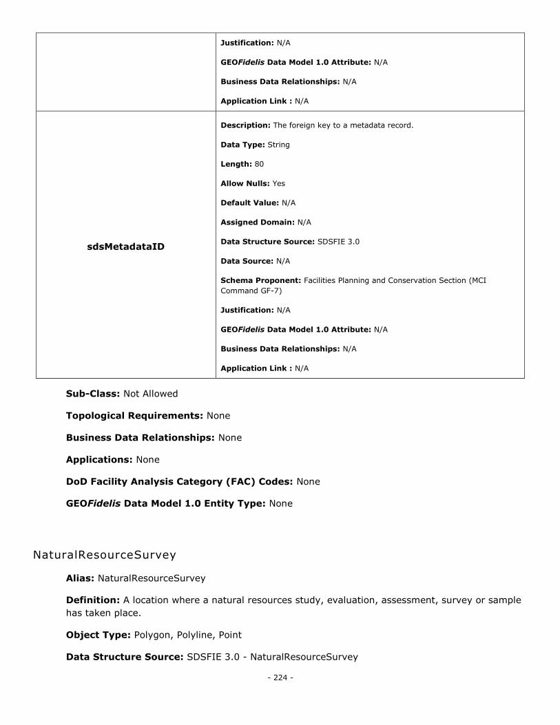
- 224 -
Justification: N/A
GEOFidelis Data Model 1.0 Attribute: N/A
Business Data Relationships: N/A
Application Link : N/A
sdsMetadataID
Description: The foreign key to a metadata record.
Data Type: String
Length: 80
Allow Nulls: Yes
Default Value: N/A
Assigned Domain: N/A
Data Structure Source: SDSFIE 3.0
Data Source: N/A
Schema Proponent: Facilities Planning and Conservation Section (MCI
Command GF-7)
Justification: N/A
GEOFidelis Data Model 1.0 Attribute: N/A
Business Data Relationships: N/A
Application Link : N/A
Sub-Class: Not Allowed
Topological Requirements: None
Business Data Relationships: None
Applications: None
DoD Facility Analysis Category (FAC) Codes: None
GEOFidelis Data Model 1.0 Entity Type: None
NaturalResourceSurvey
Alias: NaturalResourceSurvey
Definition: A location where a natural resources study, evaluation, assessment, survey or sample
has taken place.
Object Type: Polygon, Polyline, Point
Data Structure Source: SDSFIE 3.0 - NaturalResourceSurvey
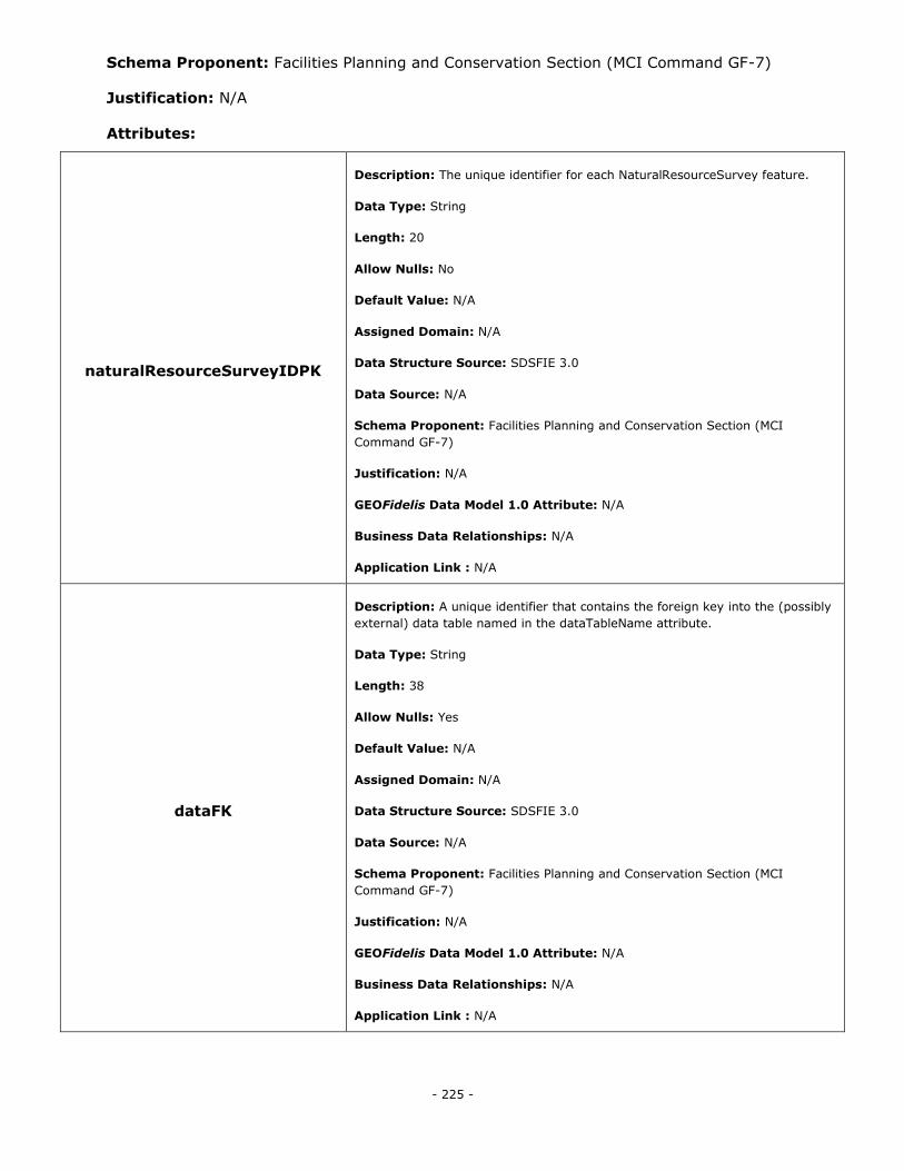
- 225 -
Schema Proponent: Facilities Planning and Conservation Section (MCI Command GF-7)
Justification: N/A
Attributes:
naturalResourceSurveyIDPK
Description: The unique identifier for each NaturalResourceSurvey feature.
Data Type: String
Length: 20
Allow Nulls: No
Default Value: N/A
Assigned Domain: N/A
Data Structure Source: SDSFIE 3.0
Data Source: N/A
Schema Proponent: Facilities Planning and Conservation Section (MCI
Command GF-7)
Justification: N/A
GEOFidelis Data Model 1.0 Attribute: N/A
Business Data Relationships: N/A
Application Link : N/A
dataFK
Description: A unique identifier that contains the foreign key into the (possibly
external) data table named in the dataTableName attribute.
Data Type: String
Length: 38
Allow Nulls: Yes
Default Value: N/A
Assigned Domain: N/A
Data Structure Source: SDSFIE 3.0
Data Source: N/A
Schema Proponent: Facilities Planning and Conservation Section (MCI
Command GF-7)
Justification: N/A
GEOFidelis Data Model 1.0 Attribute: N/A
Business Data Relationships: N/A
Application Link : N/A
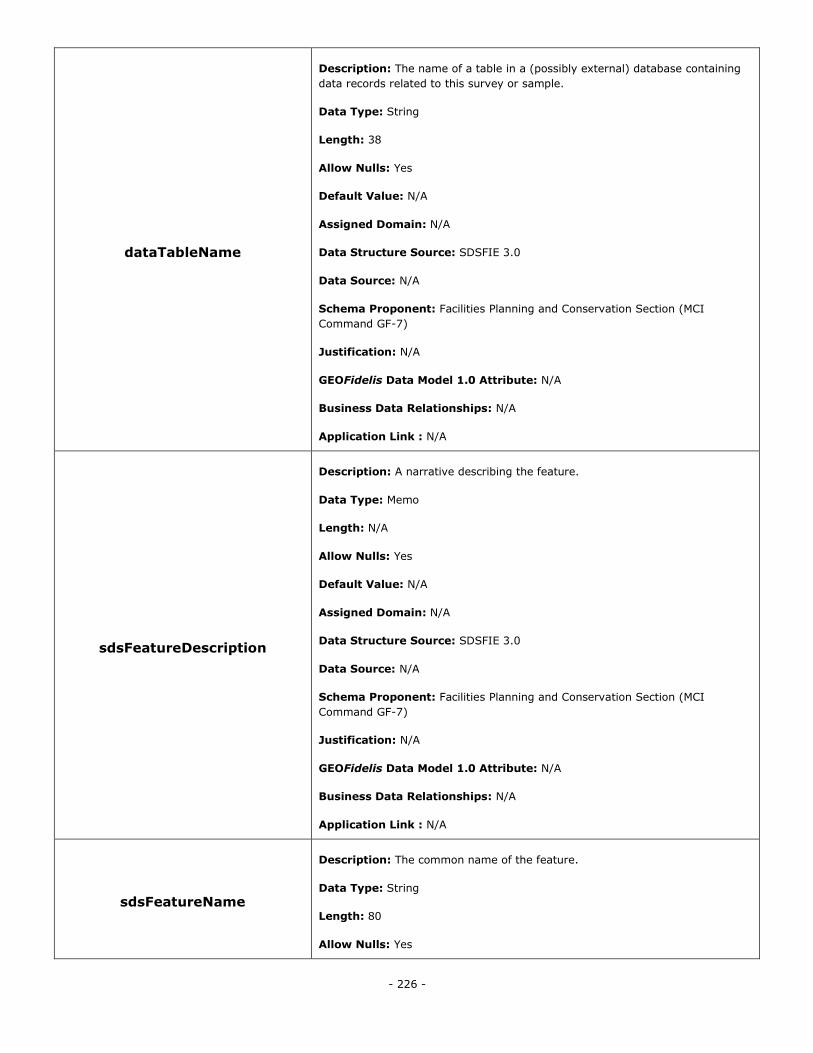
- 226 -
dataTableName
Description: The name of a table in a (possibly external) database containing
data records related to this survey or sample.
Data Type: String
Length: 38
Allow Nulls: Yes
Default Value: N/A
Assigned Domain: N/A
Data Structure Source: SDSFIE 3.0
Data Source: N/A
Schema Proponent: Facilities Planning and Conservation Section (MCI
Command GF-7)
Justification: N/A
GEOFidelis Data Model 1.0 Attribute: N/A
Business Data Relationships: N/A
Application Link : N/A
sdsFeatureDescription
Description: A narrative describing the feature.
Data Type: Memo
Length: N/A
Allow Nulls: Yes
Default Value: N/A
Assigned Domain: N/A
Data Structure Source: SDSFIE 3.0
Data Source: N/A
Schema Proponent: Facilities Planning and Conservation Section (MCI
Command GF-7)
Justification: N/A
GEOFidelis Data Model 1.0 Attribute: N/A
Business Data Relationships: N/A
Application Link : N/A
sdsFeatureName
Description: The common name of the feature.
Data Type: String
Length: 80
Allow Nulls: Yes
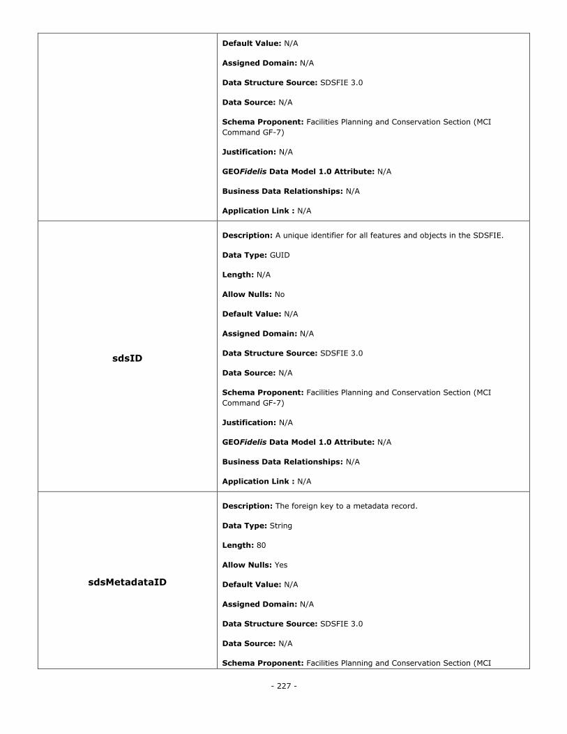
- 227 -
Default Value: N/A
Assigned Domain: N/A
Data Structure Source: SDSFIE 3.0
Data Source: N/A
Schema Proponent: Facilities Planning and Conservation Section (MCI
Command GF-7)
Justification: N/A
GEOFidelis Data Model 1.0 Attribute: N/A
Business Data Relationships: N/A
Application Link : N/A
sdsID
Description: A unique identifier for all features and objects in the SDSFIE.
Data Type: GUID
Length: N/A
Allow Nulls: No
Default Value: N/A
Assigned Domain: N/A
Data Structure Source: SDSFIE 3.0
Data Source: N/A
Schema Proponent: Facilities Planning and Conservation Section (MCI
Command GF-7)
Justification: N/A
GEOFidelis Data Model 1.0 Attribute: N/A
Business Data Relationships: N/A
Application Link : N/A
sdsMetadataID
Description: The foreign key to a metadata record.
Data Type: String
Length: 80
Allow Nulls: Yes
Default Value: N/A
Assigned Domain: N/A
Data Structure Source: SDSFIE 3.0
Data Source: N/A
Schema Proponent: Facilities Planning and Conservation Section (MCI
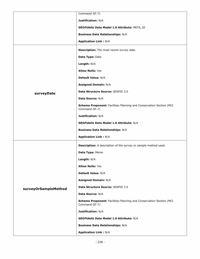
- 228 -
Command GF-7)
Justification: N/A
GEOFidelis Data Model 1.0 Attribute: META_ID
Business Data Relationships: N/A
Application Link : N/A
surveyDate
Description: The most recent survey date.
Data Type: Date
Length: N/A
Allow Nulls: Yes
Default Value: N/A
Assigned Domain: N/A
Data Structure Source: SDSFIE 3.0
Data Source: N/A
Schema Proponent: Facilities Planning and Conservation Section (MCI
Command GF-7)
Justification: N/A
GEOFidelis Data Model 1.0 Attribute: N/A
Business Data Relationships: N/A
Application Link : N/A
surveyOrSampleMethod
Description: A description of the survey or sample method used.
Data Type: Memo
Length: N/A
Allow Nulls: Yes
Default Value: N/A
Assigned Domain: N/A
Data Structure Source: SDSFIE 3.0
Data Source: N/A
Schema Proponent: Facilities Planning and Conservation Section (MCI
Command GF-7)
Justification: N/A
GEOFidelis Data Model 1.0 Attribute: N/A
Business Data Relationships: N/A
Application Link : N/A
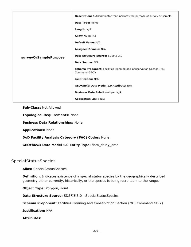
- 229 -
surveyOrSamplePurpose
Description: A discriminator that indicates the purpose of survey or sample.
Data Type: Memo
Length: N/A
Allow Nulls: No
Default Value: N/A
Assigned Domain: N/A
Data Structure Source: SDSFIE 3.0
Data Source: N/A
Schema Proponent: Facilities Planning and Conservation Section (MCI
Command GF-7)
Justification: N/A
GEOFidelis Data Model 1.0 Attribute: N/A
Business Data Relationships: N/A
Application Link : N/A
Sub-Class: Not Allowed
Topological Requirements: None
Business Data Relationships: None
Applications: None
DoD Facility Analysis Category (FAC) Codes: None
GEOFidelis Data Model 1.0 Entity Type: flora_study_area
SpecialStatusSpecies
Alias: SpecialStatusSpecies
Definition: Indicates existence of a special status species by the geographically described
geometry either currently, historically, or the species is being recruited into the range.
Object Type: Polygon, Point
Data Structure Source: SDSFIE 3.0 - SpecialStatusSpecies
Schema Proponent: Facilities Planning and Conservation Section (MCI Command GF-7)
Justification: N/A
Attributes:
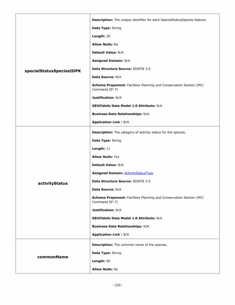
- 230 -
specialStatusSpeciesIDPK
Description: The unique identifier for each SpecialStatusSpecies feature.
Data Type: String
Length: 20
Allow Nulls: No
Default Value: N/A
Assigned Domain: N/A
Data Structure Source: SDSFIE 3.0
Data Source: N/A
Schema Proponent: Facilities Planning and Conservation Section (MCI
Command GF-7)
Justification: N/A
GEOFidelis Data Model 1.0 Attribute: N/A
Business Data Relationships: N/A
Application Link : N/A
activityStatus
Description: The category of activity status for the species.
Data Type: String
Length: 11
Allow Nulls: Yes
Default Value: N/A
Assigned Domain: ActivityStatusType
Data Structure Source: SDSFIE 3.0
Data Source: N/A
Schema Proponent: Facilities Planning and Conservation Section (MCI
Command GF-7)
Justification: N/A
GEOFidelis Data Model 1.0 Attribute: N/A
Business Data Relationships: N/A
Application Link : N/A
commonName
Description: The common name of the species.
Data Type: String
Length: 80
Allow Nulls: No
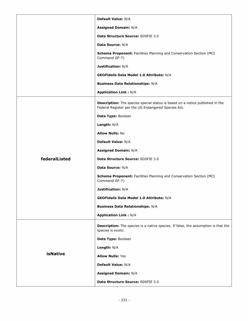
- 231 -
Default Value: N/A
Assigned Domain: N/A
Data Structure Source: SDSFIE 3.0
Data Source: N/A
Schema Proponent: Facilities Planning and Conservation Section (MCI
Command GF-7)
Justification: N/A
GEOFidelis Data Model 1.0 Attribute: N/A
Business Data Relationships: N/A
Application Link : N/A
federalListed
Description: The species special status is based on a notice published in the
Federal Register per the US Endangered Species Act.
Data Type: Boolean
Length: N/A
Allow Nulls: No
Default Value: N/A
Assigned Domain: N/A
Data Structure Source: SDSFIE 3.0
Data Source: N/A
Schema Proponent: Facilities Planning and Conservation Section (MCI
Command GF-7)
Justification: N/A
GEOFidelis Data Model 1.0 Attribute: N/A
Business Data Relationships: N/A
Application Link : N/A
isNative
Description: The species is a native species. If false, the assumption is that the
species is exotic.
Data Type: Boolean
Length: N/A
Allow Nulls: Yes
Default Value: N/A
Assigned Domain: N/A
Data Structure Source: SDSFIE 3.0
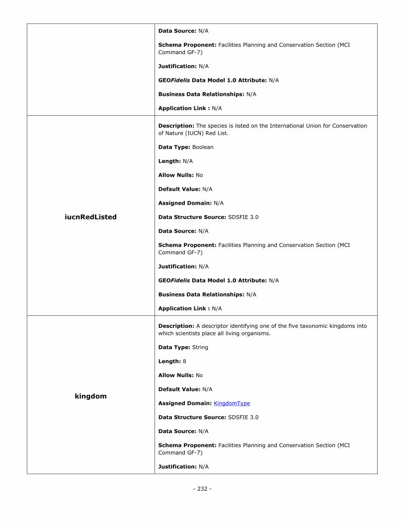
- 232 -
Data Source: N/A
Schema Proponent: Facilities Planning and Conservation Section (MCI
Command GF-7)
Justification: N/A
GEOFidelis Data Model 1.0 Attribute: N/A
Business Data Relationships: N/A
Application Link : N/A
iucnRedListed
Description: The species is listed on the International Union for Conservation
of Nature (IUCN) Red List.
Data Type: Boolean
Length: N/A
Allow Nulls: No
Default Value: N/A
Assigned Domain: N/A
Data Structure Source: SDSFIE 3.0
Data Source: N/A
Schema Proponent: Facilities Planning and Conservation Section (MCI
Command GF-7)
Justification: N/A
GEOFidelis Data Model 1.0 Attribute: N/A
Business Data Relationships: N/A
Application Link : N/A
kingdom
Description: A descriptor identifying one of the five taxonomic kingdoms into
which scientists place all living organisms.
Data Type: String
Length: 8
Allow Nulls: No
Default Value: N/A
Assigned Domain: KingdomType
Data Structure Source: SDSFIE 3.0
Data Source: N/A
Schema Proponent: Facilities Planning and Conservation Section (MCI
Command GF-7)
Justification: N/A
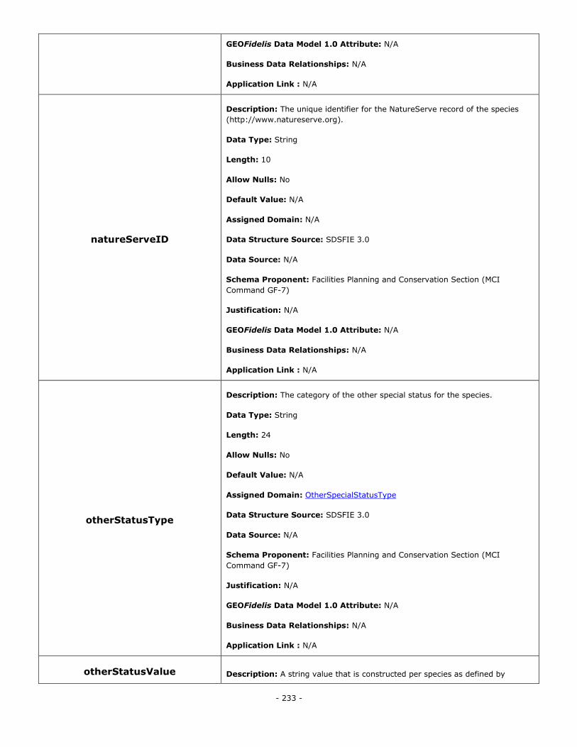
- 233 -
GEOFidelis Data Model 1.0 Attribute: N/A
Business Data Relationships: N/A
Application Link : N/A
natureServeID
Description: The unique identifier for the NatureServe record of the species
(http://www.natureserve.org).
Data Type: String
Length: 10
Allow Nulls: No
Default Value: N/A
Assigned Domain: N/A
Data Structure Source: SDSFIE 3.0
Data Source: N/A
Schema Proponent: Facilities Planning and Conservation Section (MCI
Command GF-7)
Justification: N/A
GEOFidelis Data Model 1.0 Attribute: N/A
Business Data Relationships: N/A
Application Link : N/A
otherStatusType
Description: The category of the other special status for the species.
Data Type: String
Length: 24
Allow Nulls: No
Default Value: N/A
Assigned Domain: OtherSpecialStatusType
Data Structure Source: SDSFIE 3.0
Data Source: N/A
Schema Proponent: Facilities Planning and Conservation Section (MCI
Command GF-7)
Justification: N/A
GEOFidelis Data Model 1.0 Attribute: N/A
Business Data Relationships: N/A
Application Link : N/A
otherStatusValue Description: A string value that is constructed per species as defined by
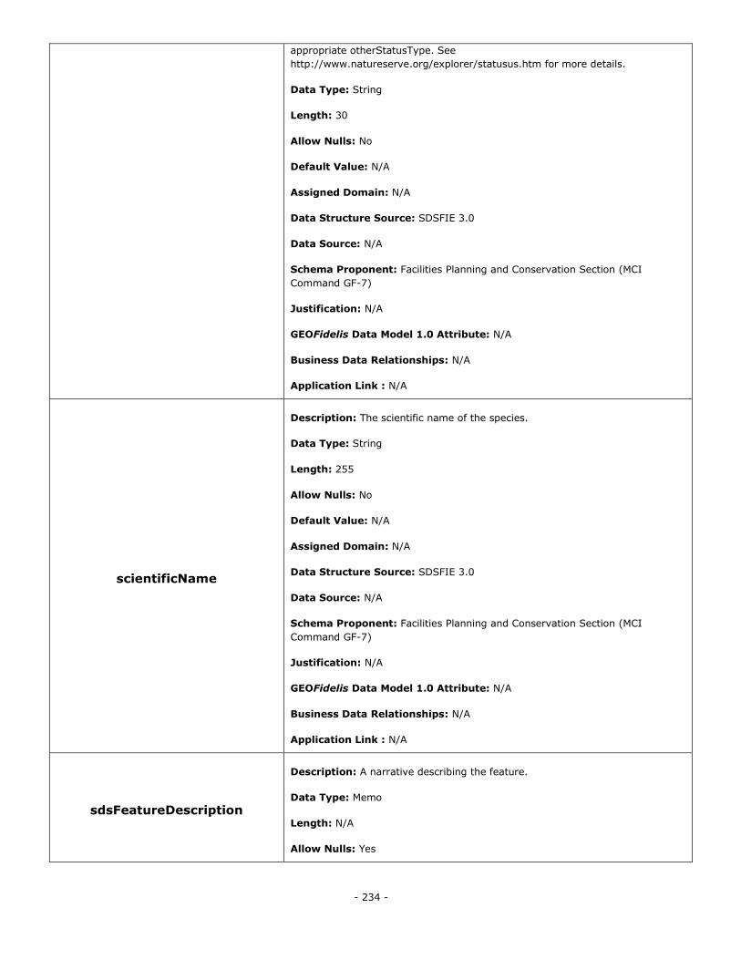
- 234 -
appropriate otherStatusType. See
http://www.natureserve.org/explorer/statusus.htm for more details.
Data Type: String
Length: 30
Allow Nulls: No
Default Value: N/A
Assigned Domain: N/A
Data Structure Source: SDSFIE 3.0
Data Source: N/A
Schema Proponent: Facilities Planning and Conservation Section (MCI
Command GF-7)
Justification: N/A
GEOFidelis Data Model 1.0 Attribute: N/A
Business Data Relationships: N/A
Application Link : N/A
scientificName
Description: The scientific name of the species.
Data Type: String
Length: 255
Allow Nulls: No
Default Value: N/A
Assigned Domain: N/A
Data Structure Source: SDSFIE 3.0
Data Source: N/A
Schema Proponent: Facilities Planning and Conservation Section (MCI
Command GF-7)
Justification: N/A
GEOFidelis Data Model 1.0 Attribute: N/A
Business Data Relationships: N/A
Application Link : N/A
sdsFeatureDescription
Description: A narrative describing the feature.
Data Type: Memo
Length: N/A
Allow Nulls: Yes
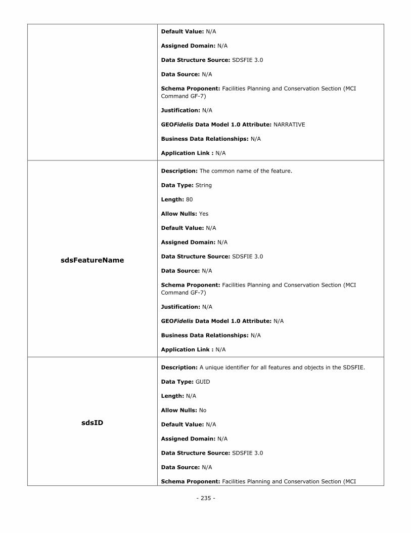
- 235 -
Default Value: N/A
Assigned Domain: N/A
Data Structure Source: SDSFIE 3.0
Data Source: N/A
Schema Proponent: Facilities Planning and Conservation Section (MCI
Command GF-7)
Justification: N/A
GEOFidelis Data Model 1.0 Attribute: NARRATIVE
Business Data Relationships: N/A
Application Link : N/A
sdsFeatureName
Description: The common name of the feature.
Data Type: String
Length: 80
Allow Nulls: Yes
Default Value: N/A
Assigned Domain: N/A
Data Structure Source: SDSFIE 3.0
Data Source: N/A
Schema Proponent: Facilities Planning and Conservation Section (MCI
Command GF-7)
Justification: N/A
GEOFidelis Data Model 1.0 Attribute: N/A
Business Data Relationships: N/A
Application Link : N/A
sdsID
Description: A unique identifier for all features and objects in the SDSFIE.
Data Type: GUID
Length: N/A
Allow Nulls: No
Default Value: N/A
Assigned Domain: N/A
Data Structure Source: SDSFIE 3.0
Data Source: N/A
Schema Proponent: Facilities Planning and Conservation Section (MCI
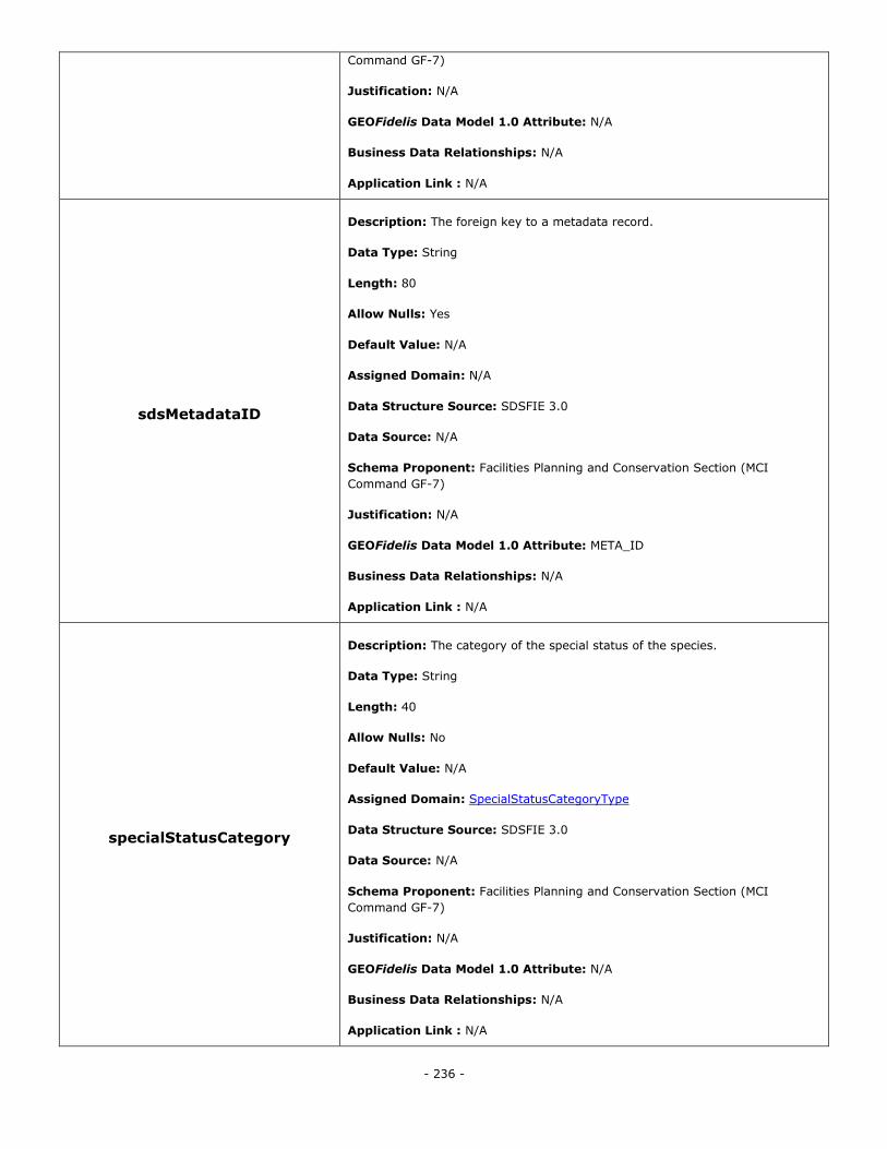
- 236 -
Command GF-7)
Justification: N/A
GEOFidelis Data Model 1.0 Attribute: N/A
Business Data Relationships: N/A
Application Link : N/A
sdsMetadataID
Description: The foreign key to a metadata record.
Data Type: String
Length: 80
Allow Nulls: Yes
Default Value: N/A
Assigned Domain: N/A
Data Structure Source: SDSFIE 3.0
Data Source: N/A
Schema Proponent: Facilities Planning and Conservation Section (MCI
Command GF-7)
Justification: N/A
GEOFidelis Data Model 1.0 Attribute: META_ID
Business Data Relationships: N/A
Application Link : N/A
specialStatusCategory
Description: The category of the special status of the species.
Data Type: String
Length: 40
Allow Nulls: No
Default Value: N/A
Assigned Domain: SpecialStatusCategoryType
Data Structure Source: SDSFIE 3.0
Data Source: N/A
Schema Proponent: Facilities Planning and Conservation Section (MCI
Command GF-7)
Justification: N/A
GEOFidelis Data Model 1.0 Attribute: N/A
Business Data Relationships: N/A
Application Link : N/A
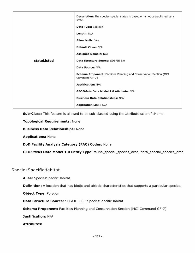
- 237 -
stateListed
Description: The species special status is based on a notice published by a
state.
Data Type: Boolean
Length: N/A
Allow Nulls: Yes
Default Value: N/A
Assigned Domain: N/A
Data Structure Source: SDSFIE 3.0
Data Source: N/A
Schema Proponent: Facilities Planning and Conservation Section (MCI
Command GF-7)
Justification: N/A
GEOFidelis Data Model 1.0 Attribute: N/A
Business Data Relationships: N/A
Application Link : N/A
Sub-Class: This feature is allowed to be sub-classed using the attribute scientificName.
Topological Requirements: None
Business Data Relationships: None
Applications: None
DoD Facility Analysis Category (FAC) Codes: None
GEOFidelis Data Model 1.0 Entity Type: fauna_special_species_area, flora_special_species_area
SpeciesSpecificHabitat
Alias: SpeciesSpecificHabitat
Definition: A location that has biotic and abiotic characteristics that supports a particular species.
Object Type: Polygon
Data Structure Source: SDSFIE 3.0 - SpeciesSpecificHabitat
Schema Proponent: Facilities Planning and Conservation Section (MCI Command GF-7)
Justification: N/A
Attributes:
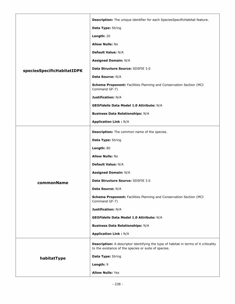
- 238 -
speciesSpecificHabitatIDPK
Description: The unique identifier for each SpeciesSpecificHabitat feature.
Data Type: String
Length: 20
Allow Nulls: No
Default Value: N/A
Assigned Domain: N/A
Data Structure Source: SDSFIE 3.0
Data Source: N/A
Schema Proponent: Facilities Planning and Conservation Section (MCI
Command GF-7)
Justification: N/A
GEOFidelis Data Model 1.0 Attribute: N/A
Business Data Relationships: N/A
Application Link : N/A
commonName
Description: The common name of the species.
Data Type: String
Length: 80
Allow Nulls: No
Default Value: N/A
Assigned Domain: N/A
Data Structure Source: SDSFIE 3.0
Data Source: N/A
Schema Proponent: Facilities Planning and Conservation Section (MCI
Command GF-7)
Justification: N/A
GEOFidelis Data Model 1.0 Attribute: N/A
Business Data Relationships: N/A
Application Link : N/A
habitatType
Description: A descriptor identifying the type of habitat in terms of it criticality
to the existance of the species or suite of species.
Data Type: String
Length: 9
Allow Nulls: Yes
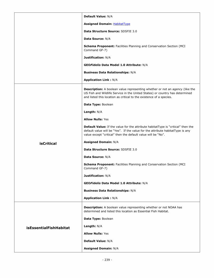
- 239 -
Default Value: N/A
Assigned Domain: HabitatType
Data Structure Source: SDSFIE 3.0
Data Source: N/A
Schema Proponent: Facilities Planning and Conservation Section (MCI
Command GF-7)
Justification: N/A
GEOFidelis Data Model 1.0 Attribute: N/A
Business Data Relationships: N/A
Application Link : N/A
isCritical
Description: A boolean value representing whether or not an agency (like the
US Fish and Wildlife Service in the United States) or country has determined
and listed this location as critical to the existence of a species.
Data Type: Boolean
Length: N/A
Allow Nulls: Yes
Default Value: If the value for the attribute habitatType is ―critical‖ then the
default value will be ―Yes‖. If the value for the attribute habitatType is any
value except ―critical‖ then the default value will be ―No‖.
Assigned Domain: N/A
Data Structure Source: SDSFIE 3.0
Data Source: N/A
Schema Proponent: Facilities Planning and Conservation Section (MCI
Command GF-7)
Justification: N/A
GEOFidelis Data Model 1.0 Attribute: N/A
Business Data Relationships: N/A
Application Link : N/A
isEssentialFishHabitat
Description: A boolean value representing whether or not NOAA has
determined and listed this location as Essential Fish Habitat.
Data Type: Boolean
Length: N/A
Allow Nulls: Yes
Default Value: N/A
Assigned Domain: N/A
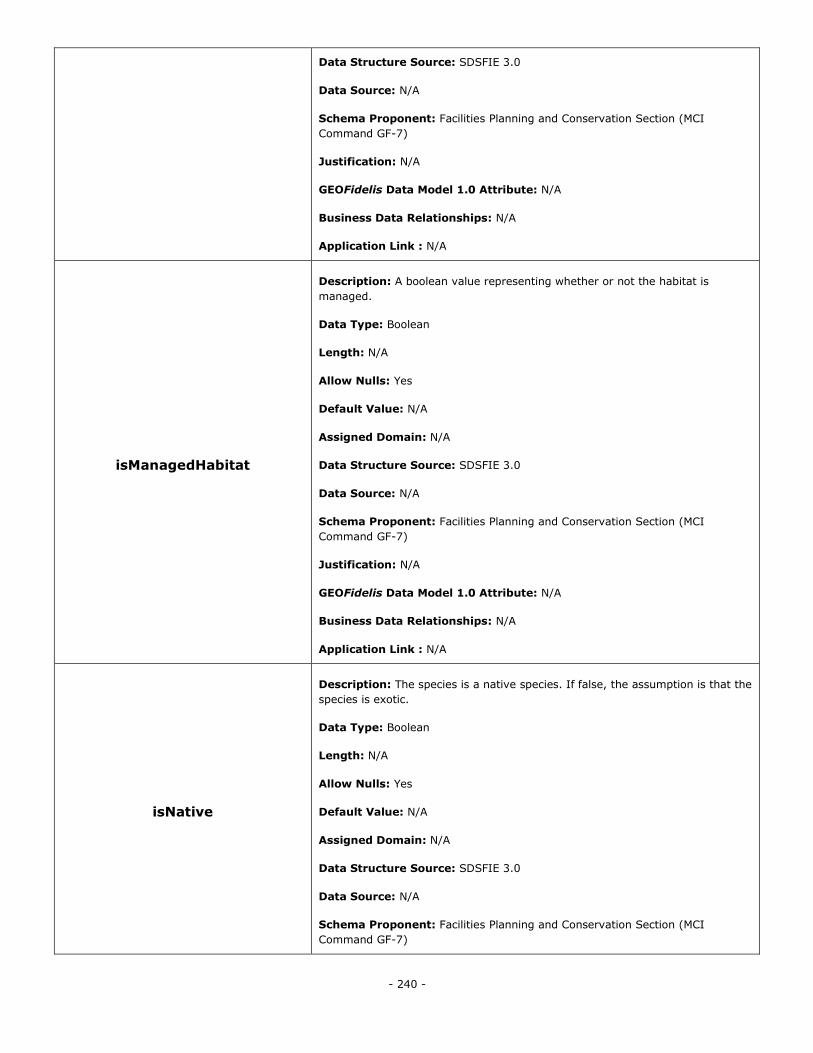
- 240 -
Data Structure Source: SDSFIE 3.0
Data Source: N/A
Schema Proponent: Facilities Planning and Conservation Section (MCI
Command GF-7)
Justification: N/A
GEOFidelis Data Model 1.0 Attribute: N/A
Business Data Relationships: N/A
Application Link : N/A
isManagedHabitat
Description: A boolean value representing whether or not the habitat is
managed.
Data Type: Boolean
Length: N/A
Allow Nulls: Yes
Default Value: N/A
Assigned Domain: N/A
Data Structure Source: SDSFIE 3.0
Data Source: N/A
Schema Proponent: Facilities Planning and Conservation Section (MCI
Command GF-7)
Justification: N/A
GEOFidelis Data Model 1.0 Attribute: N/A
Business Data Relationships: N/A
Application Link : N/A
isNative
Description: The species is a native species. If false, the assumption is that the
species is exotic.
Data Type: Boolean
Length: N/A
Allow Nulls: Yes
Default Value: N/A
Assigned Domain: N/A
Data Structure Source: SDSFIE 3.0
Data Source: N/A
Schema Proponent: Facilities Planning and Conservation Section (MCI
Command GF-7)
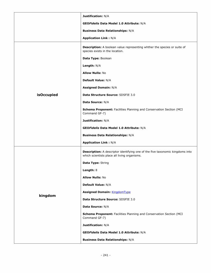
- 241 -
Justification: N/A
GEOFidelis Data Model 1.0 Attribute: N/A
Business Data Relationships: N/A
Application Link : N/A
isOccupied
Description: A boolean value representing whther the species or suite of
species exists in the location.
Data Type: Boolean
Length: N/A
Allow Nulls: No
Default Value: N/A
Assigned Domain: N/A
Data Structure Source: SDSFIE 3.0
Data Source: N/A
Schema Proponent: Facilities Planning and Conservation Section (MCI
Command GF-7)
Justification: N/A
GEOFidelis Data Model 1.0 Attribute: N/A
Business Data Relationships: N/A
Application Link : N/A
kingdom
Description: A descriptor identifying one of the five taxonomic kingdoms into
which scientists place all living organisms.
Data Type: String
Length: 8
Allow Nulls: No
Default Value: N/A
Assigned Domain: KingdomType
Data Structure Source: SDSFIE 3.0
Data Source: N/A
Schema Proponent: Facilities Planning and Conservation Section (MCI
Command GF-7)
Justification: N/A
GEOFidelis Data Model 1.0 Attribute: N/A
Business Data Relationships: N/A
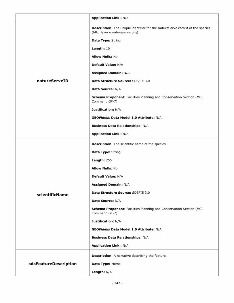
- 242 -
Application Link : N/A
natureServeID
Description: The unique identifier for the NatureServe record of the species
(http://www.natureserve.org).
Data Type: String
Length: 10
Allow Nulls: No
Default Value: N/A
Assigned Domain: N/A
Data Structure Source: SDSFIE 3.0
Data Source: N/A
Schema Proponent: Facilities Planning and Conservation Section (MCI
Command GF-7)
Justification: N/A
GEOFidelis Data Model 1.0 Attribute: N/A
Business Data Relationships: N/A
Application Link : N/A
scientificName
Description: The scientific name of the species.
Data Type: String
Length: 255
Allow Nulls: No
Default Value: N/A
Assigned Domain: N/A
Data Structure Source: SDSFIE 3.0
Data Source: N/A
Schema Proponent: Facilities Planning and Conservation Section (MCI
Command GF-7)
Justification: N/A
GEOFidelis Data Model 1.0 Attribute: N/A
Business Data Relationships: N/A
Application Link : N/A
sdsFeatureDescription
Description: A narrative describing the feature.
Data Type: Memo
Length: N/A
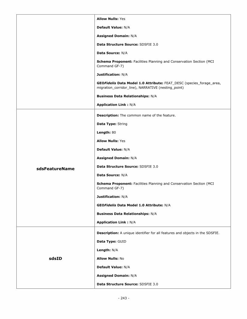
- 243 -
Allow Nulls: Yes
Default Value: N/A
Assigned Domain: N/A
Data Structure Source: SDSFIE 3.0
Data Source: N/A
Schema Proponent: Facilities Planning and Conservation Section (MCI
Command GF-7)
Justification: N/A
GEOFidelis Data Model 1.0 Attribute: FEAT_DESC (species_forage_area,
migration_corridor_line), NARRATIVE (nesting_point)
Business Data Relationships: N/A
Application Link : N/A
sdsFeatureName
Description: The common name of the feature.
Data Type: String
Length: 80
Allow Nulls: Yes
Default Value: N/A
Assigned Domain: N/A
Data Structure Source: SDSFIE 3.0
Data Source: N/A
Schema Proponent: Facilities Planning and Conservation Section (MCI
Command GF-7)
Justification: N/A
GEOFidelis Data Model 1.0 Attribute: N/A
Business Data Relationships: N/A
Application Link : N/A
sdsID
Description: A unique identifier for all features and objects in the SDSFIE.
Data Type: GUID
Length: N/A
Allow Nulls: No
Default Value: N/A
Assigned Domain: N/A
Data Structure Source: SDSFIE 3.0
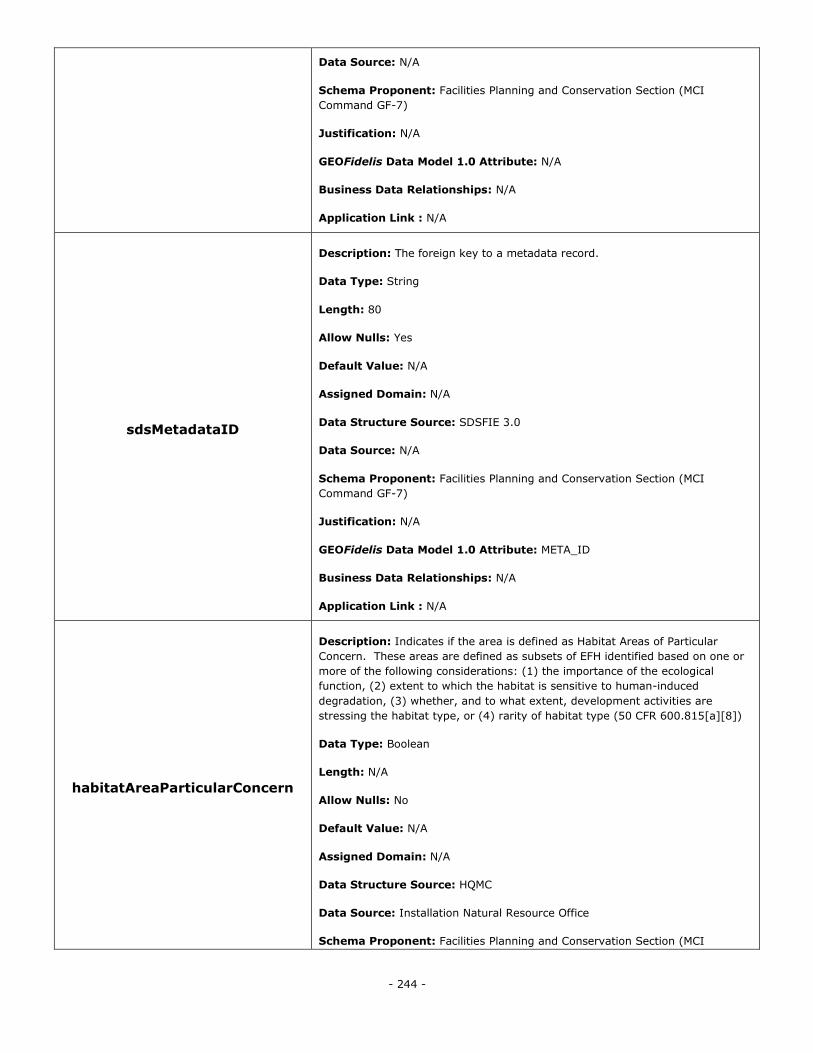
- 244 -
Data Source: N/A
Schema Proponent: Facilities Planning and Conservation Section (MCI
Command GF-7)
Justification: N/A
GEOFidelis Data Model 1.0 Attribute: N/A
Business Data Relationships: N/A
Application Link : N/A
sdsMetadataID
Description: The foreign key to a metadata record.
Data Type: String
Length: 80
Allow Nulls: Yes
Default Value: N/A
Assigned Domain: N/A
Data Structure Source: SDSFIE 3.0
Data Source: N/A
Schema Proponent: Facilities Planning and Conservation Section (MCI
Command GF-7)
Justification: N/A
GEOFidelis Data Model 1.0 Attribute: META_ID
Business Data Relationships: N/A
Application Link : N/A
habitatAreaParticularConcern
Description: Indicates if the area is defined as Habitat Areas of Particular
Concern. These areas are defined as subsets of EFH identified based on one or
more of the following considerations: (1) the importance of the ecological
function, (2) extent to which the habitat is sensitive to human-induced
degradation, (3) whether, and to what extent, development activities are
stressing the habitat type, or (4) rarity of habitat type (50 CFR 600.815[a][8])
Data Type: Boolean
Length: N/A
Allow Nulls: No
Default Value: N/A
Assigned Domain: N/A
Data Structure Source: HQMC
Data Source: Installation Natural Resource Office
Schema Proponent: Facilities Planning and Conservation Section (MCI
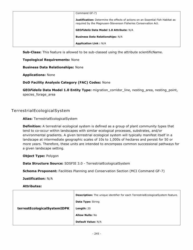
- 245 -
Command GF-7)
Justification: Determine the effects of actions on an Essential Fish Habitat as
required by the Magnusen-Stevenson Fisheries Conservation Act.
GEOFidelis Data Model 1.0 Attribute: N/A
Business Data Relationships: N/A
Application Link : N/A
Sub-Class: This feature is allowed to be sub-classed using the attribute scientificName.
Topological Requirements: None
Business Data Relationships: None
Applications: None
DoD Facility Analysis Category (FAC) Codes: None
GEOFidelis Data Model 1.0 Entity Type: migration_corridor_line, nesting_area, nesting_point,
species_forage_area
TerrestrialEcologicalSystem
Alias: TerrestrialEcologicalSystem
Definition: A terrestrial ecological system is defined as a group of plant community types that
tend to co-occur within landscapes with similar ecological processes, substrates, and/or
environmental gradients. A given terrestrial ecological system will typically manifest itself in a
landscape at intermediate geographic scales of 10s to 1,000s of hectares and persist for 50 or
more years. Therefore, these units are intended to encompass common successional pathways for
a given landscape setting.
Object Type: Polygon
Data Structure Source: SDSFIE 3.0 - TerrestrialEcologicalSystem
Schema Proponent: Facilities Planning and Conservation Section (MCI Command GF-7)
Justification: N/A
Attributes:
terrestEcologicalSystemIDPK
Description: The unique identifier for each TerrestrialEcologicalSystem feature.
Data Type: String
Length: 20
Allow Nulls: No
Default Value: N/A
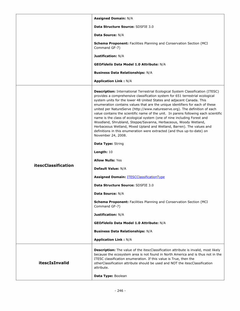
- 246 -
Assigned Domain: N/A
Data Structure Source: SDSFIE 3.0
Data Source: N/A
Schema Proponent: Facilities Planning and Conservation Section (MCI
Command GF-7)
Justification: N/A
GEOFidelis Data Model 1.0 Attribute: N/A
Business Data Relationships: N/A
Application Link : N/A
itescClassification
Description: International Terrestrial Ecological System Classification (ITESC)
provides a comprehensive classification system for 651 terrestrial ecological
system units for the lower 48 United States and adjacent Canada. This
enumeration contains values that are the unique identifiers for each of these
united per NatureServe (http://www.natureserve.org). The definition of each
value contains the scientific name of the unit. In parens following each scientific
name is the class of ecological system (one of nine including Forest and
Woodland, Shrubland, Steppe/Savanna, Herbaceous, Woody Wetland,
Herbaceous Wetland, Mixed Upland and Wetland, Barren). The values and
definitions in this enumeration were extracted (and thus up-to-date) on
November 24, 2008.
Data Type: String
Length: 10
Allow Nulls: Yes
Default Value: N/A
Assigned Domain: ITESCClassificationType
Data Structure Source: SDSFIE 3.0
Data Source: N/A
Schema Proponent: Facilities Planning and Conservation Section (MCI
Command GF-7)
Justification: N/A
GEOFidelis Data Model 1.0 Attribute: N/A
Business Data Relationships: N/A
Application Link : N/A
itescIsInvalid
Description: The value of the itescClassification attribute is invalid, most likely
because the ecosystem area is not found in North America and is thus not in the
ITESC classification enumeration. If this value is True, then the
otherClassification attribute should be used and NOT the itescClassification
attribute.
Data Type: Boolean
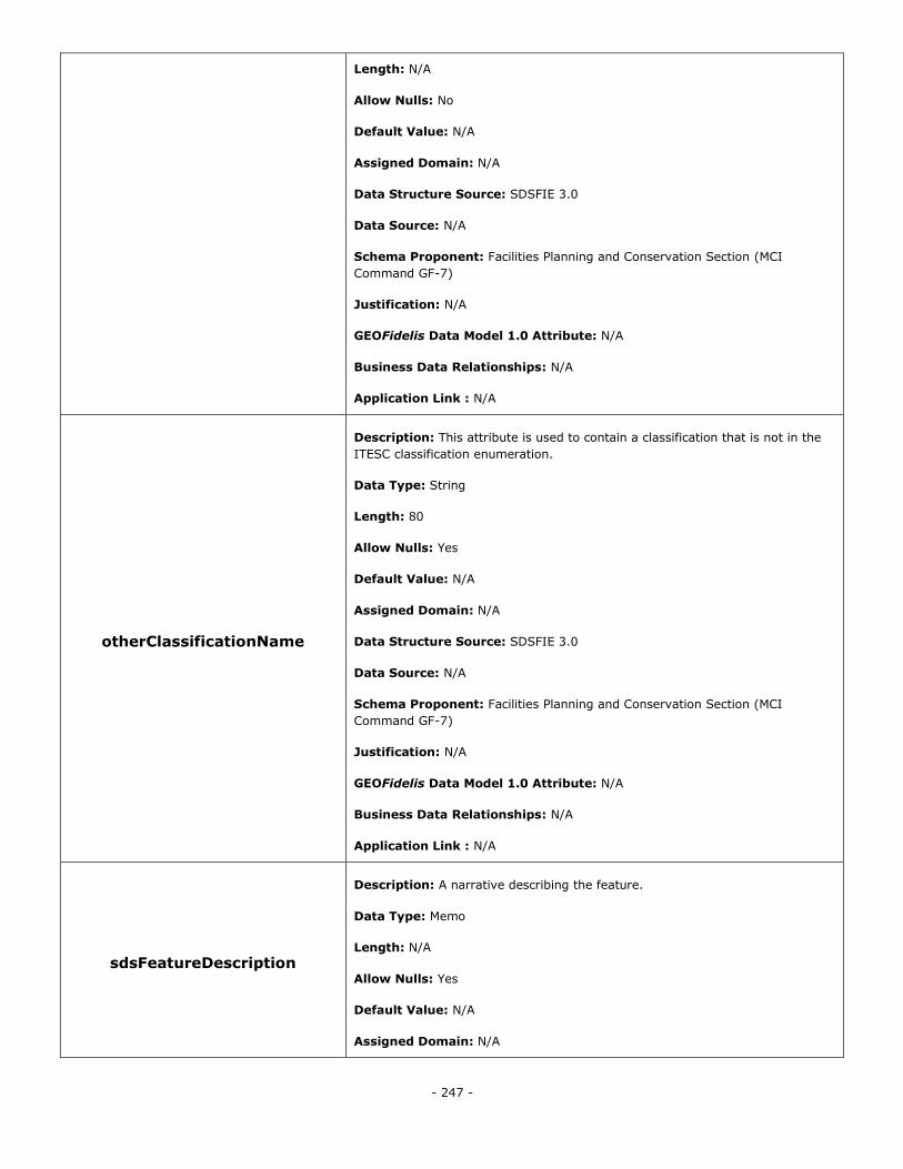
- 247 -
Length: N/A
Allow Nulls: No
Default Value: N/A
Assigned Domain: N/A
Data Structure Source: SDSFIE 3.0
Data Source: N/A
Schema Proponent: Facilities Planning and Conservation Section (MCI
Command GF-7)
Justification: N/A
GEOFidelis Data Model 1.0 Attribute: N/A
Business Data Relationships: N/A
Application Link : N/A
otherClassificationName
Description: This attribute is used to contain a classification that is not in the
ITESC classification enumeration.
Data Type: String
Length: 80
Allow Nulls: Yes
Default Value: N/A
Assigned Domain: N/A
Data Structure Source: SDSFIE 3.0
Data Source: N/A
Schema Proponent: Facilities Planning and Conservation Section (MCI
Command GF-7)
Justification: N/A
GEOFidelis Data Model 1.0 Attribute: N/A
Business Data Relationships: N/A
Application Link : N/A
sdsFeatureDescription
Description: A narrative describing the feature.
Data Type: Memo
Length: N/A
Allow Nulls: Yes
Default Value: N/A
Assigned Domain: N/A
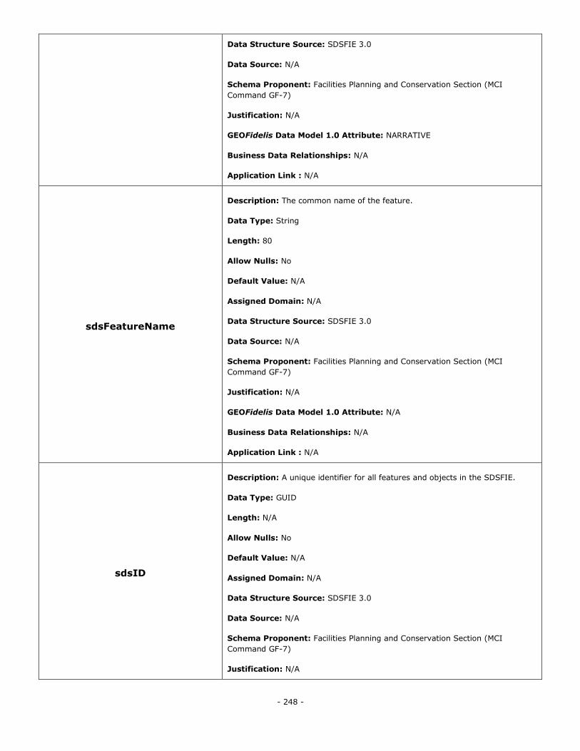
- 248 -
Data Structure Source: SDSFIE 3.0
Data Source: N/A
Schema Proponent: Facilities Planning and Conservation Section (MCI
Command GF-7)
Justification: N/A
GEOFidelis Data Model 1.0 Attribute: NARRATIVE
Business Data Relationships: N/A
Application Link : N/A
sdsFeatureName
Description: The common name of the feature.
Data Type: String
Length: 80
Allow Nulls: No
Default Value: N/A
Assigned Domain: N/A
Data Structure Source: SDSFIE 3.0
Data Source: N/A
Schema Proponent: Facilities Planning and Conservation Section (MCI
Command GF-7)
Justification: N/A
GEOFidelis Data Model 1.0 Attribute: N/A
Business Data Relationships: N/A
Application Link : N/A
sdsID
Description: A unique identifier for all features and objects in the SDSFIE.
Data Type: GUID
Length: N/A
Allow Nulls: No
Default Value: N/A
Assigned Domain: N/A
Data Structure Source: SDSFIE 3.0
Data Source: N/A
Schema Proponent: Facilities Planning and Conservation Section (MCI
Command GF-7)
Justification: N/A
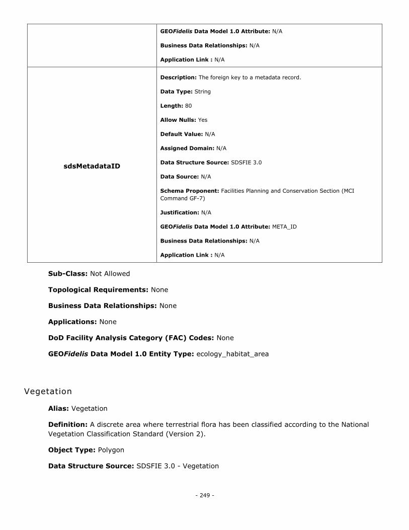
- 249 -
GEOFidelis Data Model 1.0 Attribute: N/A
Business Data Relationships: N/A
Application Link : N/A
sdsMetadataID
Description: The foreign key to a metadata record.
Data Type: String
Length: 80
Allow Nulls: Yes
Default Value: N/A
Assigned Domain: N/A
Data Structure Source: SDSFIE 3.0
Data Source: N/A
Schema Proponent: Facilities Planning and Conservation Section (MCI
Command GF-7)
Justification: N/A
GEOFidelis Data Model 1.0 Attribute: META_ID
Business Data Relationships: N/A
Application Link : N/A
Sub-Class: Not Allowed
Topological Requirements: None
Business Data Relationships: None
Applications: None
DoD Facility Analysis Category (FAC) Codes: None
GEOFidelis Data Model 1.0 Entity Type: ecology_habitat_area
Vegetation
Alias: Vegetation
Definition: A discrete area where terrestrial flora has been classified according to the National
Vegetation Classification Standard (Version 2).
Object Type: Polygon
Data Structure Source: SDSFIE 3.0 - Vegetation
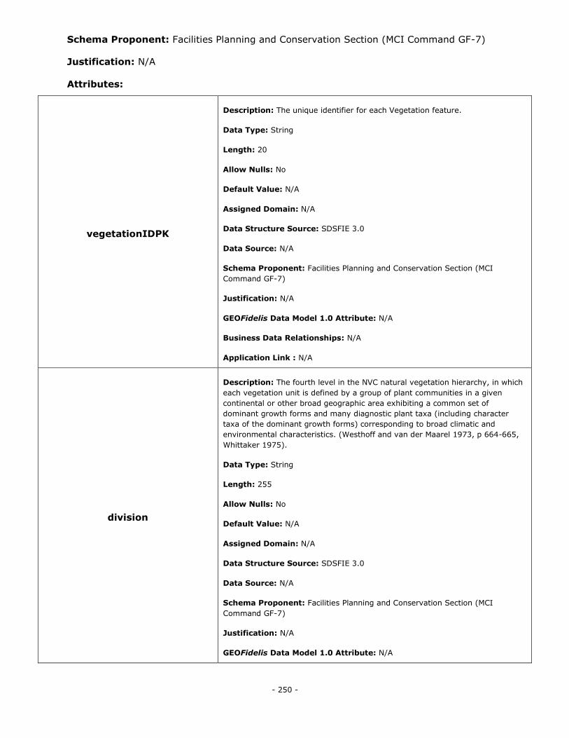
- 250 -
Schema Proponent: Facilities Planning and Conservation Section (MCI Command GF-7)
Justification: N/A
Attributes:
vegetationIDPK
Description: The unique identifier for each Vegetation feature.
Data Type: String
Length: 20
Allow Nulls: No
Default Value: N/A
Assigned Domain: N/A
Data Structure Source: SDSFIE 3.0
Data Source: N/A
Schema Proponent: Facilities Planning and Conservation Section (MCI
Command GF-7)
Justification: N/A
GEOFidelis Data Model 1.0 Attribute: N/A
Business Data Relationships: N/A
Application Link : N/A
division
Description: The fourth level in the NVC natural vegetation hierarchy, in which
each vegetation unit is defined by a group of plant communities in a given
continental or other broad geographic area exhibiting a common set of
dominant growth forms and many diagnostic plant taxa (including character
taxa of the dominant growth forms) corresponding to broad climatic and
environmental characteristics. (Westhoff and van der Maarel 1973, p 664-665,
Whittaker 1975).
Data Type: String
Length: 255
Allow Nulls: No
Default Value: N/A
Assigned Domain: N/A
Data Structure Source: SDSFIE 3.0
Data Source: N/A
Schema Proponent: Facilities Planning and Conservation Section (MCI
Command GF-7)
Justification: N/A
GEOFidelis Data Model 1.0 Attribute: N/A
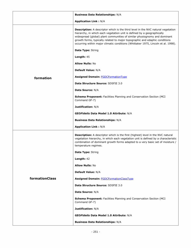
- 251 -
Business Data Relationships: N/A
Application Link : N/A
formation
Description: A descriptor which is the third level in the NVC natural vegetation
hierarchy, in which each vegetation unit is defined by a geographically
widespread (global) plant communities of similar physiognomy and dominant
growth forms, typically related to major topographic and edaphic conditions
occurring within major climatic conditions (Whittaker 1975, Lincoln et al. 1998).
Data Type: String
Length: 45
Allow Nulls: No
Default Value: N/A
Assigned Domain: FGDCFormationType
Data Structure Source: SDSFIE 3.0
Data Source: N/A
Schema Proponent: Facilities Planning and Conservation Section (MCI
Command GF-7)
Justification: N/A
GEOFidelis Data Model 1.0 Attribute: N/A
Business Data Relationships: N/A
Application Link : N/A
formationClass
Description: A descriptor which is the first (highest) level in the NVC natural
vegetation hierarchy, in which each vegetation unit is defined by a characteristic
combination of dominant growth forms adapted to a very basic set of moisture /
temperature regimes.
Data Type: String
Length: 42
Allow Nulls: No
Default Value: N/A
Assigned Domain: FGDCFormationClassType
Data Structure Source: SDSFIE 3.0
Data Source: N/A
Schema Proponent: Facilities Planning and Conservation Section (MCI
Command GF-7)
Justification: N/A
GEOFidelis Data Model 1.0 Attribute: N/A
Business Data Relationships: N/A
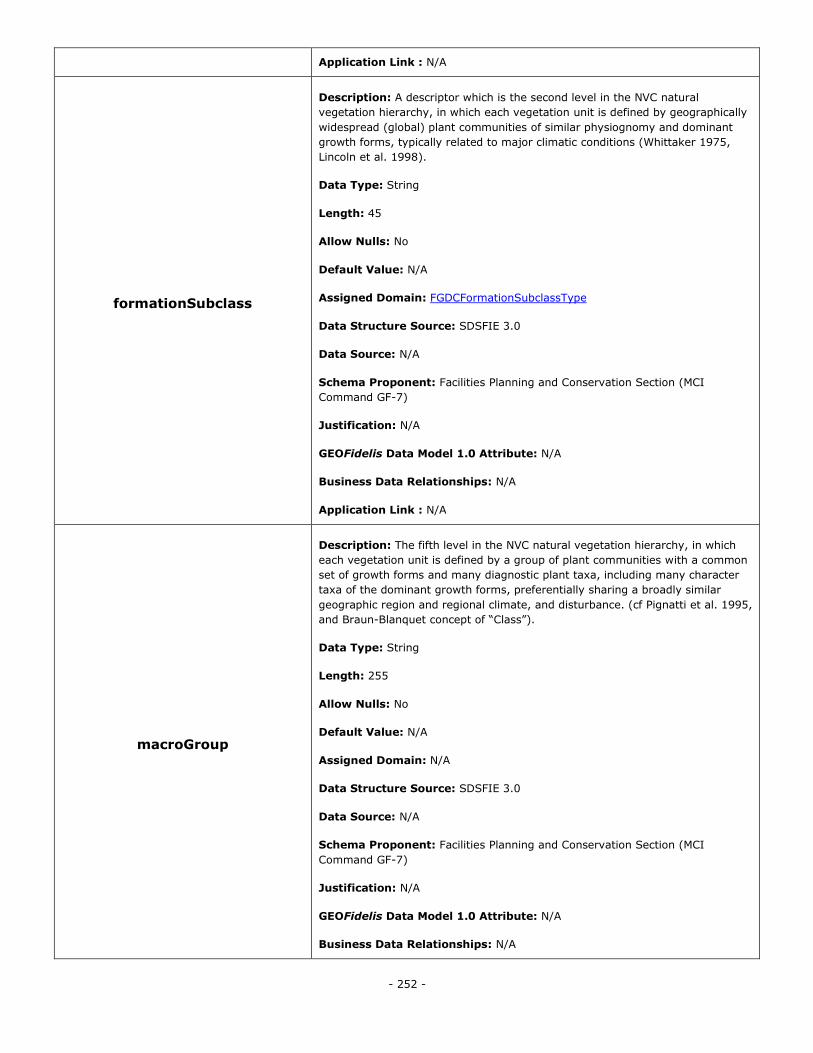
- 252 -
Application Link : N/A
formationSubclass
Description: A descriptor which is the second level in the NVC natural
vegetation hierarchy, in which each vegetation unit is defined by geographically
widespread (global) plant communities of similar physiognomy and dominant
growth forms, typically related to major climatic conditions (Whittaker 1975,
Lincoln et al. 1998).
Data Type: String
Length: 45
Allow Nulls: No
Default Value: N/A
Assigned Domain: FGDCFormationSubclassType
Data Structure Source: SDSFIE 3.0
Data Source: N/A
Schema Proponent: Facilities Planning and Conservation Section (MCI
Command GF-7)
Justification: N/A
GEOFidelis Data Model 1.0 Attribute: N/A
Business Data Relationships: N/A
Application Link : N/A
macroGroup
Description: The fifth level in the NVC natural vegetation hierarchy, in which
each vegetation unit is defined by a group of plant communities with a common
set of growth forms and many diagnostic plant taxa, including many character
taxa of the dominant growth forms, preferentially sharing a broadly similar
geographic region and regional climate, and disturbance. (cf Pignatti et al. 1995,
and Braun-Blanquet concept of ―Class‖).
Data Type: String
Length: 255
Allow Nulls: No
Default Value: N/A
Assigned Domain: N/A
Data Structure Source: SDSFIE 3.0
Data Source: N/A
Schema Proponent: Facilities Planning and Conservation Section (MCI
Command GF-7)
Justification: N/A
GEOFidelis Data Model 1.0 Attribute: N/A
Business Data Relationships: N/A
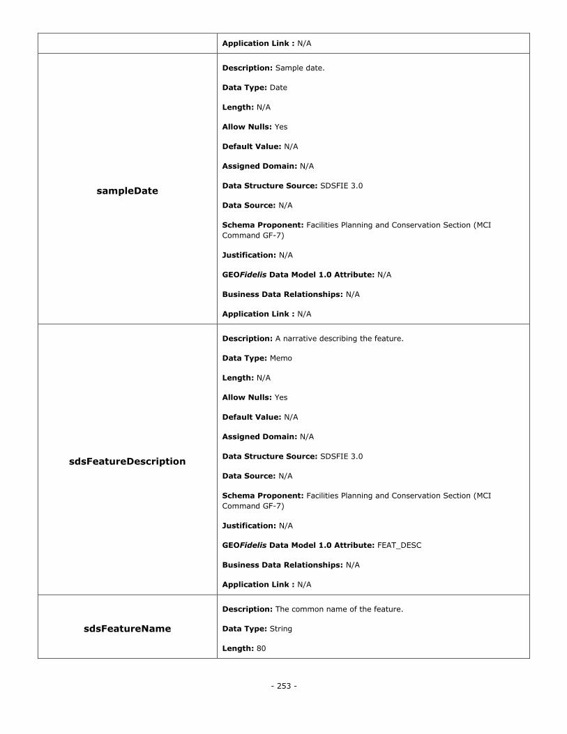
- 253 -
Application Link : N/A
sampleDate
Description: Sample date.
Data Type: Date
Length: N/A
Allow Nulls: Yes
Default Value: N/A
Assigned Domain: N/A
Data Structure Source: SDSFIE 3.0
Data Source: N/A
Schema Proponent: Facilities Planning and Conservation Section (MCI
Command GF-7)
Justification: N/A
GEOFidelis Data Model 1.0 Attribute: N/A
Business Data Relationships: N/A
Application Link : N/A
sdsFeatureDescription
Description: A narrative describing the feature.
Data Type: Memo
Length: N/A
Allow Nulls: Yes
Default Value: N/A
Assigned Domain: N/A
Data Structure Source: SDSFIE 3.0
Data Source: N/A
Schema Proponent: Facilities Planning and Conservation Section (MCI
Command GF-7)
Justification: N/A
GEOFidelis Data Model 1.0 Attribute: FEAT_DESC
Business Data Relationships: N/A
Application Link : N/A
sdsFeatureName
Description: The common name of the feature.
Data Type: String
Length: 80

- 254 -
Allow Nulls: Yes
Default Value: N/A
Assigned Domain: N/A
Data Structure Source: SDSFIE 3.0
Data Source: N/A
Schema Proponent: Facilities Planning and Conservation Section (MCI
Command GF-7)
Justification: N/A
GEOFidelis Data Model 1.0 Attribute: FEAT_NAME
Business Data Relationships: N/A
Application Link : N/A
sdsID
Description: A unique identifier for all features and objects in the SDSFIE.
Data Type: GUID
Length: N/A
Allow Nulls: No
Default Value: N/A
Assigned Domain: N/A
Data Structure Source: SDSFIE 3.0
Data Source: N/A
Schema Proponent: Facilities Planning and Conservation Section (MCI
Command GF-7)
Justification: N/A
GEOFidelis Data Model 1.0 Attribute: N/A
Business Data Relationships: N/A
Application Link : N/A
sdsMetadataID
Description: The foreign key to a metadata record.
Data Type: String
Length: 80
Allow Nulls: Yes
Default Value: N/A
Assigned Domain: N/A
Data Structure Source: SDSFIE 3.0
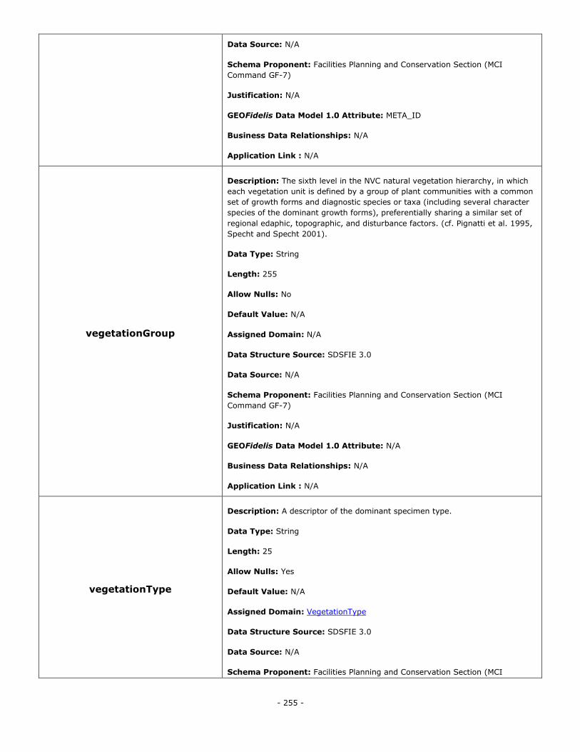
- 255 -
Data Source: N/A
Schema Proponent: Facilities Planning and Conservation Section (MCI
Command GF-7)
Justification: N/A
GEOFidelis Data Model 1.0 Attribute: META_ID
Business Data Relationships: N/A
Application Link : N/A
vegetationGroup
Description: The sixth level in the NVC natural vegetation hierarchy, in which
each vegetation unit is defined by a group of plant communities with a common
set of growth forms and diagnostic species or taxa (including several character
species of the dominant growth forms), preferentially sharing a similar set of
regional edaphic, topographic, and disturbance factors. (cf. Pignatti et al. 1995,
Specht and Specht 2001).
Data Type: String
Length: 255
Allow Nulls: No
Default Value: N/A
Assigned Domain: N/A
Data Structure Source: SDSFIE 3.0
Data Source: N/A
Schema Proponent: Facilities Planning and Conservation Section (MCI
Command GF-7)
Justification: N/A
GEOFidelis Data Model 1.0 Attribute: N/A
Business Data Relationships: N/A
Application Link : N/A
vegetationType
Description: A descriptor of the dominant specimen type.
Data Type: String
Length: 25
Allow Nulls: Yes
Default Value: N/A
Assigned Domain: VegetationType
Data Structure Source: SDSFIE 3.0
Data Source: N/A
Schema Proponent: Facilities Planning and Conservation Section (MCI
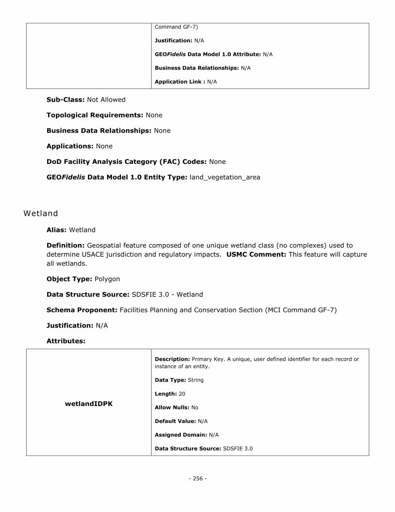
- 256 -
Command GF-7)
Justification: N/A
GEOFidelis Data Model 1.0 Attribute: N/A
Business Data Relationships: N/A
Application Link : N/A
Sub-Class: Not Allowed
Topological Requirements: None
Business Data Relationships: None
Applications: None
DoD Facility Analysis Category (FAC) Codes: None
GEOFidelis Data Model 1.0 Entity Type: land_vegetation_area
Wetland
Alias: Wetland
Definition: Geospatial feature composed of one unique wetland class (no complexes) used to
determine USACE jurisdiction and regulatory impacts. USMC Comment: This feature will capture
all wetlands.
Object Type: Polygon
Data Structure Source: SDSFIE 3.0 - Wetland
Schema Proponent: Facilities Planning and Conservation Section (MCI Command GF-7)
Justification: N/A
Attributes:
wetlandIDPK
Description: Primary Key. A unique, user defined identifier for each record or
instance of an entity.
Data Type: String
Length: 20
Allow Nulls: No
Default Value: N/A
Assigned Domain: N/A
Data Structure Source: SDSFIE 3.0
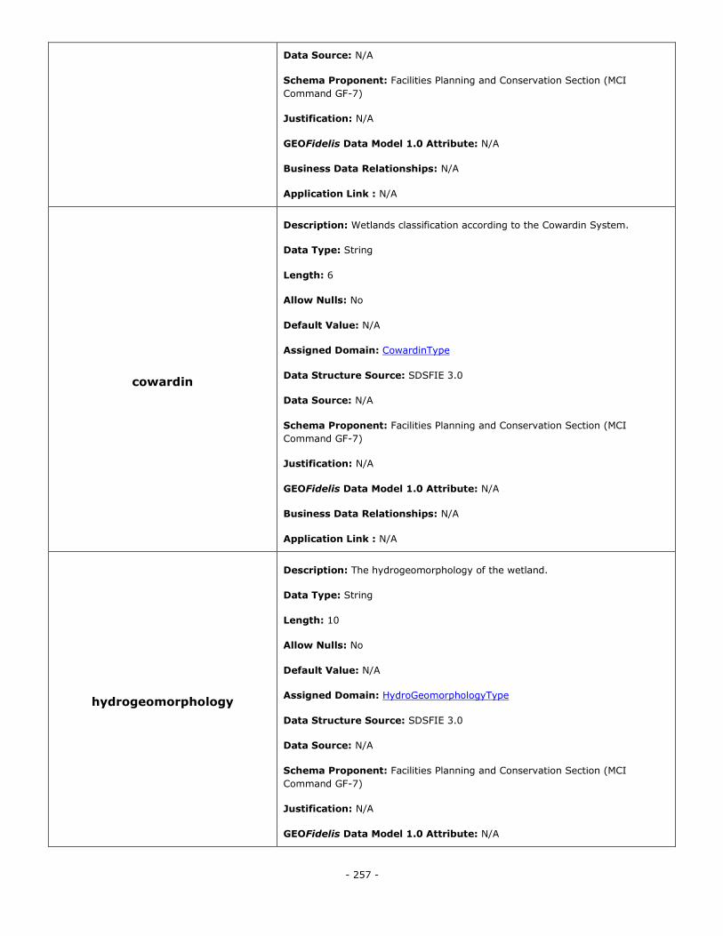
- 257 -
Data Source: N/A
Schema Proponent: Facilities Planning and Conservation Section (MCI
Command GF-7)
Justification: N/A
GEOFidelis Data Model 1.0 Attribute: N/A
Business Data Relationships: N/A
Application Link : N/A
cowardin
Description: Wetlands classification according to the Cowardin System.
Data Type: String
Length: 6
Allow Nulls: No
Default Value: N/A
Assigned Domain: CowardinType
Data Structure Source: SDSFIE 3.0
Data Source: N/A
Schema Proponent: Facilities Planning and Conservation Section (MCI
Command GF-7)
Justification: N/A
GEOFidelis Data Model 1.0 Attribute: N/A
Business Data Relationships: N/A
Application Link : N/A
hydrogeomorphology
Description: The hydrogeomorphology of the wetland.
Data Type: String
Length: 10
Allow Nulls: No
Default Value: N/A
Assigned Domain: HydroGeomorphologyType
Data Structure Source: SDSFIE 3.0
Data Source: N/A
Schema Proponent: Facilities Planning and Conservation Section (MCI
Command GF-7)
Justification: N/A
GEOFidelis Data Model 1.0 Attribute: N/A
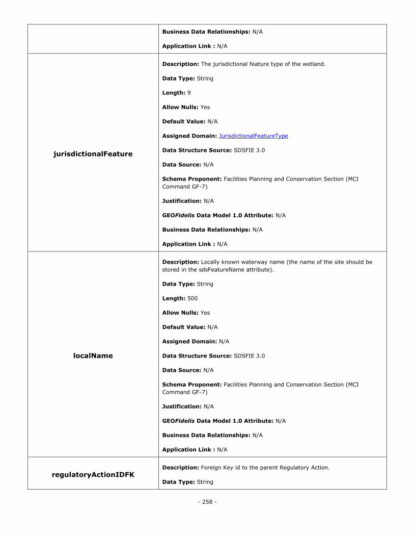
- 258 -
Business Data Relationships: N/A
Application Link : N/A
jurisdictionalFeature
Description: The jurisdictional feature type of the wetland.
Data Type: String
Length: 9
Allow Nulls: Yes
Default Value: N/A
Assigned Domain: JurisdictionalFeatureType
Data Structure Source: SDSFIE 3.0
Data Source: N/A
Schema Proponent: Facilities Planning and Conservation Section (MCI
Command GF-7)
Justification: N/A
GEOFidelis Data Model 1.0 Attribute: N/A
Business Data Relationships: N/A
Application Link : N/A
localName
Description: Locally known waterway name (the name of the site should be
stored in the sdsFeatureName attribute).
Data Type: String
Length: 500
Allow Nulls: Yes
Default Value: N/A
Assigned Domain: N/A
Data Structure Source: SDSFIE 3.0
Data Source: N/A
Schema Proponent: Facilities Planning and Conservation Section (MCI
Command GF-7)
Justification: N/A
GEOFidelis Data Model 1.0 Attribute: N/A
Business Data Relationships: N/A
Application Link : N/A
regulatoryActionIDFK Description: Foreign Key id to the parent Regulatory Action.
Data Type: String
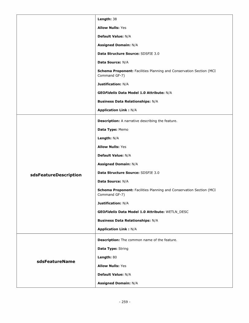
- 259 -
Length: 38
Allow Nulls: Yes
Default Value: N/A
Assigned Domain: N/A
Data Structure Source: SDSFIE 3.0
Data Source: N/A
Schema Proponent: Facilities Planning and Conservation Section (MCI
Command GF-7)
Justification: N/A
GEOFidelis Data Model 1.0 Attribute: N/A
Business Data Relationships: N/A
Application Link : N/A
sdsFeatureDescription
Description: A narrative describing the feature.
Data Type: Memo
Length: N/A
Allow Nulls: Yes
Default Value: N/A
Assigned Domain: N/A
Data Structure Source: SDSFIE 3.0
Data Source: N/A
Schema Proponent: Facilities Planning and Conservation Section (MCI
Command GF-7)
Justification: N/A
GEOFidelis Data Model 1.0 Attribute: WETLN_DESC
Business Data Relationships: N/A
Application Link : N/A
sdsFeatureName
Description: The common name of the feature.
Data Type: String
Length: 80
Allow Nulls: Yes
Default Value: N/A
Assigned Domain: N/A
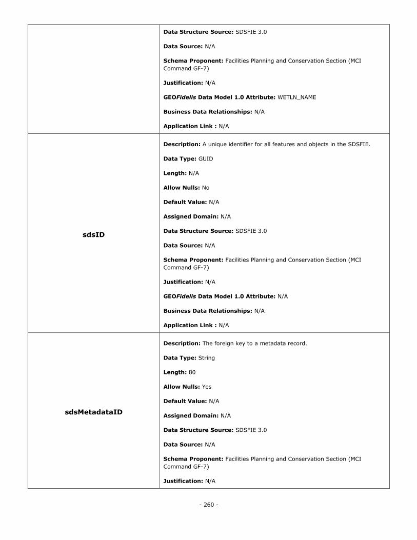
- 260 -
Data Structure Source: SDSFIE 3.0
Data Source: N/A
Schema Proponent: Facilities Planning and Conservation Section (MCI
Command GF-7)
Justification: N/A
GEOFidelis Data Model 1.0 Attribute: WETLN_NAME
Business Data Relationships: N/A
Application Link : N/A
sdsID
Description: A unique identifier for all features and objects in the SDSFIE.
Data Type: GUID
Length: N/A
Allow Nulls: No
Default Value: N/A
Assigned Domain: N/A
Data Structure Source: SDSFIE 3.0
Data Source: N/A
Schema Proponent: Facilities Planning and Conservation Section (MCI
Command GF-7)
Justification: N/A
GEOFidelis Data Model 1.0 Attribute: N/A
Business Data Relationships: N/A
Application Link : N/A
sdsMetadataID
Description: The foreign key to a metadata record.
Data Type: String
Length: 80
Allow Nulls: Yes
Default Value: N/A
Assigned Domain: N/A
Data Structure Source: SDSFIE 3.0
Data Source: N/A
Schema Proponent: Facilities Planning and Conservation Section (MCI
Command GF-7)
Justification: N/A
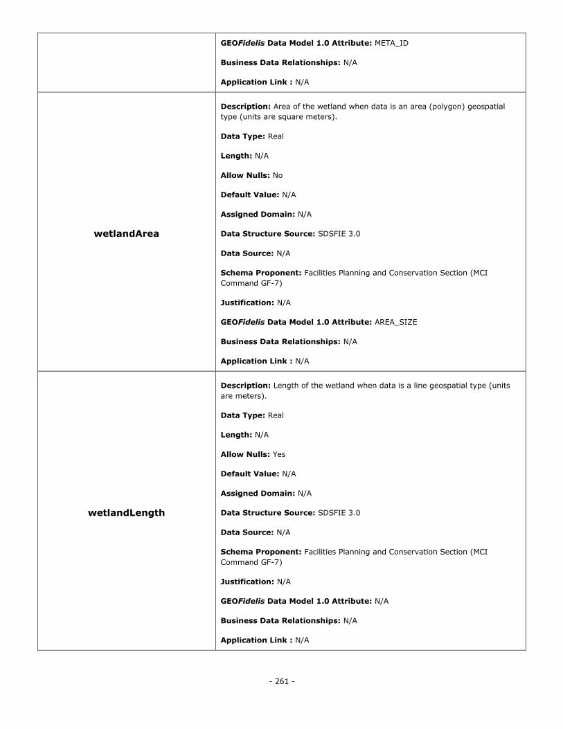
- 261 -
GEOFidelis Data Model 1.0 Attribute: META_ID
Business Data Relationships: N/A
Application Link : N/A
wetlandArea
Description: Area of the wetland when data is an area (polygon) geospatial
type (units are square meters).
Data Type: Real
Length: N/A
Allow Nulls: No
Default Value: N/A
Assigned Domain: N/A
Data Structure Source: SDSFIE 3.0
Data Source: N/A
Schema Proponent: Facilities Planning and Conservation Section (MCI
Command GF-7)
Justification: N/A
GEOFidelis Data Model 1.0 Attribute: AREA_SIZE
Business Data Relationships: N/A
Application Link : N/A
wetlandLength
Description: Length of the wetland when data is a line geospatial type (units
are meters).
Data Type: Real
Length: N/A
Allow Nulls: Yes
Default Value: N/A
Assigned Domain: N/A
Data Structure Source: SDSFIE 3.0
Data Source: N/A
Schema Proponent: Facilities Planning and Conservation Section (MCI
Command GF-7)
Justification: N/A
GEOFidelis Data Model 1.0 Attribute: N/A
Business Data Relationships: N/A
Application Link : N/A
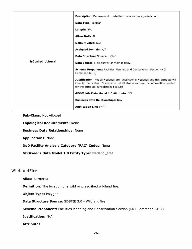
- 262 -
isJurisdictional
Description: Determinant of whether the area has a jurisdiction.
Data Type: Boolean
Length: N/A
Allow Nulls: No
Default Value: N/A
Assigned Domain: N/A
Data Structure Source: HQMC
Data Source: Field survey or methodology.
Schema Proponent: Facilities Planning and Conservation Section (MCI
Command GF-7)
Justification: Not all wetlands are jurisdictional wetlands and this attribute will
identify that status. Surveys do not all always capture the information needed
for the attribute ‗jurisdictionalFeature‘.
GEOFidelis Data Model 1.0 Attribute: N/A
Business Data Relationships: N/A
Application Link : N/A
Sub-Class: Not Allowed
Topological Requirements: None
Business Data Relationships: None
Applications: None
DoD Facility Analysis Category (FAC) Codes: None
GEOFidelis Data Model 1.0 Entity Type: wetland_area
WildlandFire
Alias: BurnArea
Definition: The location of a wild or prescribed wildland fire.
Object Type: Polygon
Data Structure Source: SDSFIE 3.0 - WildlandFire
Schema Proponent: Facilities Planning and Conservation Section (MCI Command GF-7)
Justification: N/A
Attributes:
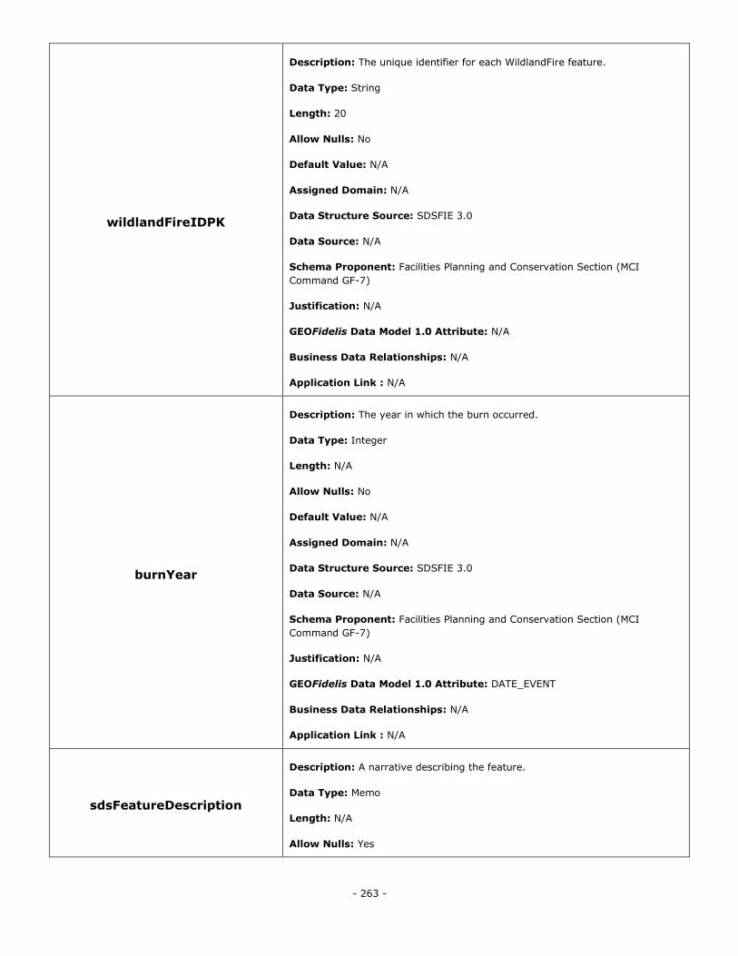
- 263 -
wildlandFireIDPK
Description: The unique identifier for each WildlandFire feature.
Data Type: String
Length: 20
Allow Nulls: No
Default Value: N/A
Assigned Domain: N/A
Data Structure Source: SDSFIE 3.0
Data Source: N/A
Schema Proponent: Facilities Planning and Conservation Section (MCI
Command GF-7)
Justification: N/A
GEOFidelis Data Model 1.0 Attribute: N/A
Business Data Relationships: N/A
Application Link : N/A
burnYear
Description: The year in which the burn occurred.
Data Type: Integer
Length: N/A
Allow Nulls: No
Default Value: N/A
Assigned Domain: N/A
Data Structure Source: SDSFIE 3.0
Data Source: N/A
Schema Proponent: Facilities Planning and Conservation Section (MCI
Command GF-7)
Justification: N/A
GEOFidelis Data Model 1.0 Attribute: DATE_EVENT
Business Data Relationships: N/A
Application Link : N/A
sdsFeatureDescription
Description: A narrative describing the feature.
Data Type: Memo
Length: N/A
Allow Nulls: Yes

- 264 -
Default Value: N/A
Assigned Domain: N/A
Data Structure Source: SDSFIE 3.0
Data Source: N/A
Schema Proponent: Facilities Planning and Conservation Section (MCI
Command GF-7)
Justification: N/A
GEOFidelis Data Model 1.0 Attribute: EVENT_DESC
Business Data Relationships: N/A
Application Link : N/A
sdsFeatureName
Description: The common name of the feature.
Data Type: String
Length: 80
Allow Nulls: Yes
Default Value: N/A
Assigned Domain: N/A
Data Structure Source: SDSFIE 3.0
Data Source: N/A
Schema Proponent: Facilities Planning and Conservation Section (MCI
Command GF-7)
Justification: N/A
GEOFidelis Data Model 1.0 Attribute: N/A
Business Data Relationships: N/A
Application Link : N/A
sdsID
Description: A unique identifier for all features and objects in the SDSFIE.
Data Type: GUID
Length: N/A
Allow Nulls: No
Default Value: N/A
Assigned Domain: N/A
Data Structure Source: SDSFIE 3.0
Data Source: N/A
Schema Proponent: Facilities Planning and Conservation Section (MCI
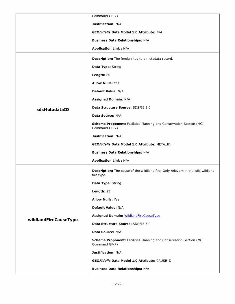
- 265 -
Command GF-7)
Justification: N/A
GEOFidelis Data Model 1.0 Attribute: N/A
Business Data Relationships: N/A
Application Link : N/A
sdsMetadataID
Description: The foreign key to a metadata record.
Data Type: String
Length: 80
Allow Nulls: Yes
Default Value: N/A
Assigned Domain: N/A
Data Structure Source: SDSFIE 3.0
Data Source: N/A
Schema Proponent: Facilities Planning and Conservation Section (MCI
Command GF-7)
Justification: N/A
GEOFidelis Data Model 1.0 Attribute: META_ID
Business Data Relationships: N/A
Application Link : N/A
wildlandFireCauseType
Description: The cause of the wildliand fire. Only relevant in the wild wildland
fire type.
Data Type: String
Length: 23
Allow Nulls: Yes
Default Value: N/A
Assigned Domain: WildlandFireCauseType
Data Structure Source: SDSFIE 3.0
Data Source: N/A
Schema Proponent: Facilities Planning and Conservation Section (MCI
Command GF-7)
Justification: N/A
GEOFidelis Data Model 1.0 Attribute: CAUSE_D
Business Data Relationships: N/A
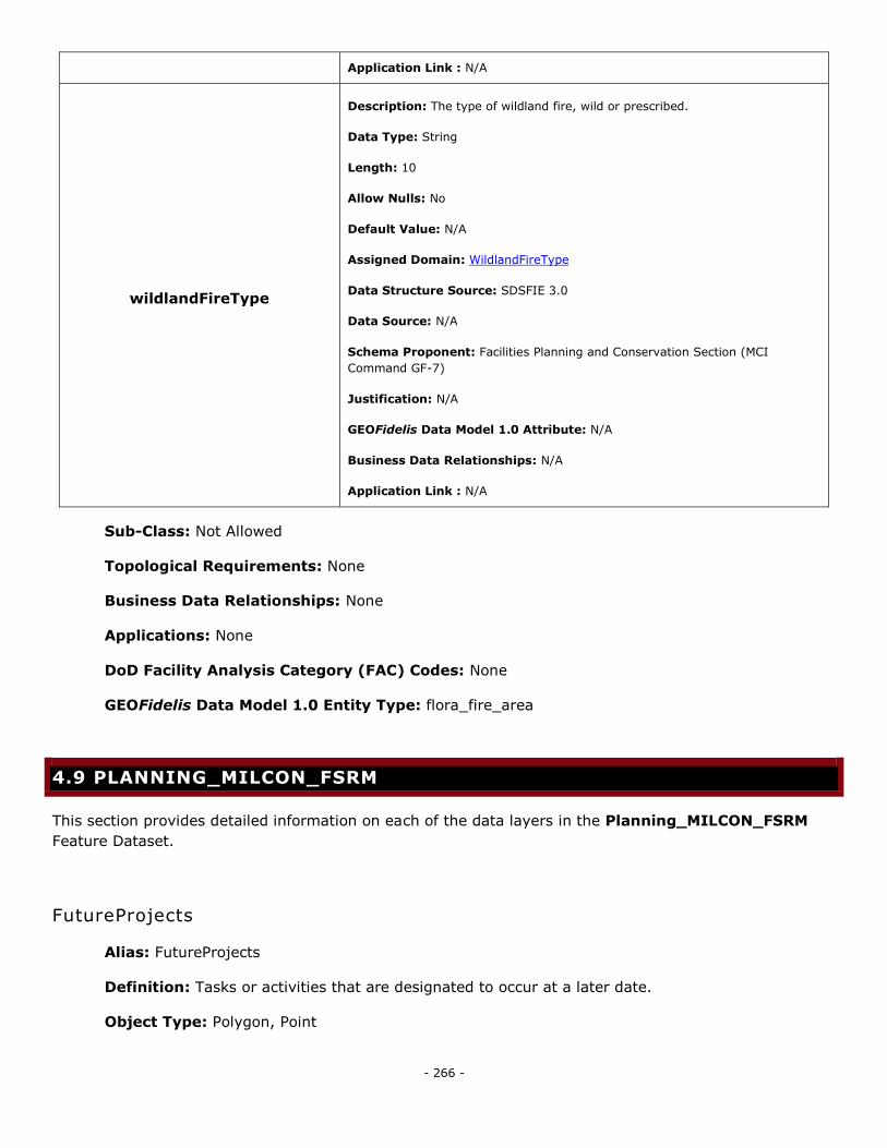
- 266 -
Application Link : N/A
wildlandFireType
Description: The type of wildland fire, wild or prescribed.
Data Type: String
Length: 10
Allow Nulls: No
Default Value: N/A
Assigned Domain: WildlandFireType
Data Structure Source: SDSFIE 3.0
Data Source: N/A
Schema Proponent: Facilities Planning and Conservation Section (MCI
Command GF-7)
Justification: N/A
GEOFidelis Data Model 1.0 Attribute: N/A
Business Data Relationships: N/A
Application Link : N/A
Sub-Class: Not Allowed
Topological Requirements: None
Business Data Relationships: None
Applications: None
DoD Facility Analysis Category (FAC) Codes: None
GEOFidelis Data Model 1.0 Entity Type: flora_fire_area
4.9 PLANNING_MILCON_FSRM
This section provides detailed information on each of the data layers in the Planning_MILCON_FSRM
Feature Dataset.
FutureProjects
Alias: FutureProjects
Definition: Tasks or activities that are designated to occur at a later date.
Object Type: Polygon, Point
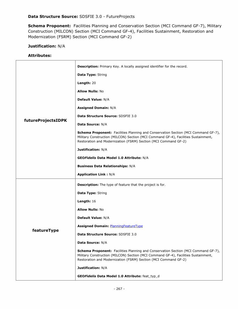
- 267 -
Data Structure Source: SDSFIE 3.0 - FutureProjects
Schema Proponent: Facilities Planning and Conservation Section (MCI Command GF-7), Military
Construction (MILCON) Section (MCI Command GF-4), Facilities Sustainment, Restoration and
Modernization (FSRM) Section (MCI Command GF-2)
Justification: N/A
Attributes:
futureProjectsIDPK
Description: Primary Key. A locally assigned identifier for the record.
Data Type: String
Length: 20
Allow Nulls: No
Default Value: N/A
Assigned Domain: N/A
Data Structure Source: SDSFIE 3.0
Data Source: N/A
Schema Proponent: Facilities Planning and Conservation Section (MCI Command GF-7),
Military Construction (MILCON) Section (MCI Command GF-4), Facilities Sustainment,
Restoration and Modernization (FSRM) Section (MCI Command GF-2)
Justification: N/A
GEOFidelis Data Model 1.0 Attribute: N/A
Business Data Relationships: N/A
Application Link : N/A
featureType
Description: The type of feature that the project is for.
Data Type: String
Length: 16
Allow Nulls: No
Default Value: N/A
Assigned Domain: PlanningFeatureType
Data Structure Source: SDSFIE 3.0
Data Source: N/A
Schema Proponent: Facilities Planning and Conservation Section (MCI Command GF-7),
Military Construction (MILCON) Section (MCI Command GF-4), Facilities Sustainment,
Restoration and Modernization (FSRM) Section (MCI Command GF-2)
Justification: N/A
GEOFidelis Data Model 1.0 Attribute: feat_typ_d
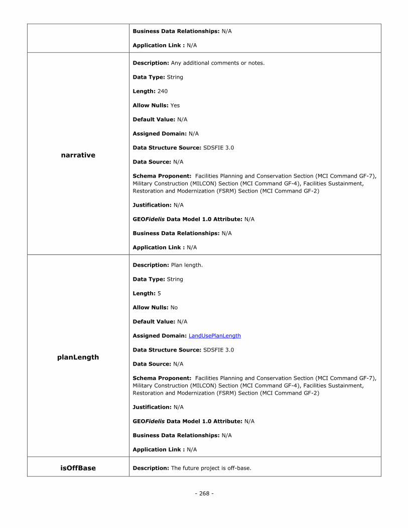
- 268 -
Business Data Relationships: N/A
Application Link : N/A
narrative
Description: Any additional comments or notes.
Data Type: String
Length: 240
Allow Nulls: Yes
Default Value: N/A
Assigned Domain: N/A
Data Structure Source: SDSFIE 3.0
Data Source: N/A
Schema Proponent: Facilities Planning and Conservation Section (MCI Command GF-7),
Military Construction (MILCON) Section (MCI Command GF-4), Facilities Sustainment,
Restoration and Modernization (FSRM) Section (MCI Command GF-2)
Justification: N/A
GEOFidelis Data Model 1.0 Attribute: N/A
Business Data Relationships: N/A
Application Link : N/A
planLength
Description: Plan length.
Data Type: String
Length: 5
Allow Nulls: No
Default Value: N/A
Assigned Domain: LandUsePlanLength
Data Structure Source: SDSFIE 3.0
Data Source: N/A
Schema Proponent: Facilities Planning and Conservation Section (MCI Command GF-7),
Military Construction (MILCON) Section (MCI Command GF-4), Facilities Sustainment,
Restoration and Modernization (FSRM) Section (MCI Command GF-2)
Justification: N/A
GEOFidelis Data Model 1.0 Attribute: N/A
Business Data Relationships: N/A
Application Link : N/A
isOffBase Description: The future project is off-base.
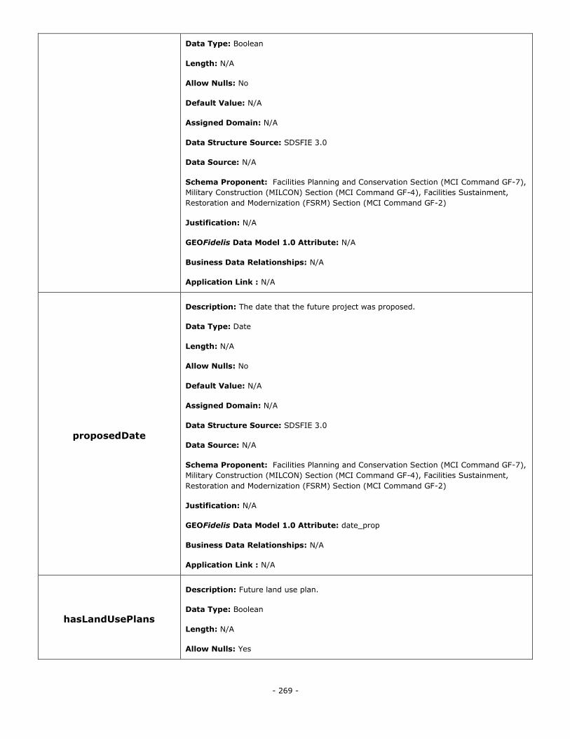
- 269 -
Data Type: Boolean
Length: N/A
Allow Nulls: No
Default Value: N/A
Assigned Domain: N/A
Data Structure Source: SDSFIE 3.0
Data Source: N/A
Schema Proponent: Facilities Planning and Conservation Section (MCI Command GF-7),
Military Construction (MILCON) Section (MCI Command GF-4), Facilities Sustainment,
Restoration and Modernization (FSRM) Section (MCI Command GF-2)
Justification: N/A
GEOFidelis Data Model 1.0 Attribute: N/A
Business Data Relationships: N/A
Application Link : N/A
proposedDate
Description: The date that the future project was proposed.
Data Type: Date
Length: N/A
Allow Nulls: No
Default Value: N/A
Assigned Domain: N/A
Data Structure Source: SDSFIE 3.0
Data Source: N/A
Schema Proponent: Facilities Planning and Conservation Section (MCI Command GF-7),
Military Construction (MILCON) Section (MCI Command GF-4), Facilities Sustainment,
Restoration and Modernization (FSRM) Section (MCI Command GF-2)
Justification: N/A
GEOFidelis Data Model 1.0 Attribute: date_prop
Business Data Relationships: N/A
Application Link : N/A
hasLandUsePlans
Description: Future land use plan.
Data Type: Boolean
Length: N/A
Allow Nulls: Yes
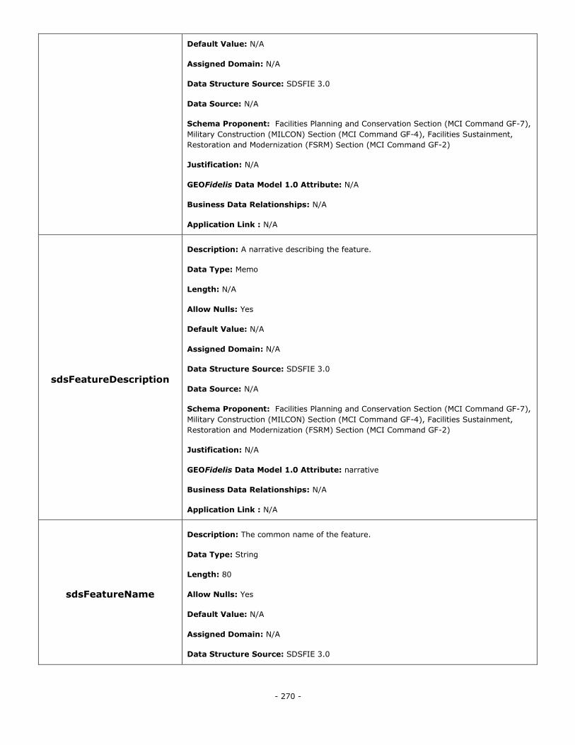
- 270 -
Default Value: N/A
Assigned Domain: N/A
Data Structure Source: SDSFIE 3.0
Data Source: N/A
Schema Proponent: Facilities Planning and Conservation Section (MCI Command GF-7),
Military Construction (MILCON) Section (MCI Command GF-4), Facilities Sustainment,
Restoration and Modernization (FSRM) Section (MCI Command GF-2)
Justification: N/A
GEOFidelis Data Model 1.0 Attribute: N/A
Business Data Relationships: N/A
Application Link : N/A
sdsFeatureDescription
Description: A narrative describing the feature.
Data Type: Memo
Length: N/A
Allow Nulls: Yes
Default Value: N/A
Assigned Domain: N/A
Data Structure Source: SDSFIE 3.0
Data Source: N/A
Schema Proponent: Facilities Planning and Conservation Section (MCI Command GF-7),
Military Construction (MILCON) Section (MCI Command GF-4), Facilities Sustainment,
Restoration and Modernization (FSRM) Section (MCI Command GF-2)
Justification: N/A
GEOFidelis Data Model 1.0 Attribute: narrative
Business Data Relationships: N/A
Application Link : N/A
sdsFeatureName
Description: The common name of the feature.
Data Type: String
Length: 80
Allow Nulls: Yes
Default Value: N/A
Assigned Domain: N/A
Data Structure Source: SDSFIE 3.0
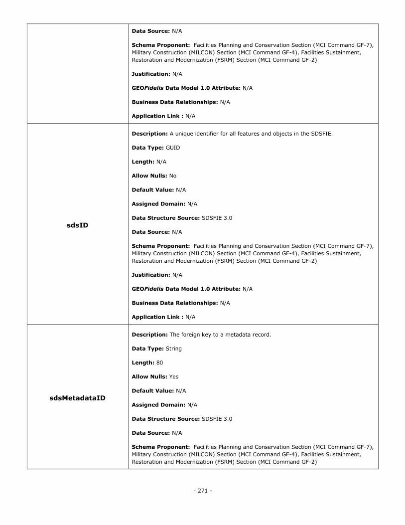
- 271 -
Data Source: N/A
Schema Proponent: Facilities Planning and Conservation Section (MCI Command GF-7),
Military Construction (MILCON) Section (MCI Command GF-4), Facilities Sustainment,
Restoration and Modernization (FSRM) Section (MCI Command GF-2)
Justification: N/A
GEOFidelis Data Model 1.0 Attribute: N/A
Business Data Relationships: N/A
Application Link : N/A
sdsID
Description: A unique identifier for all features and objects in the SDSFIE.
Data Type: GUID
Length: N/A
Allow Nulls: No
Default Value: N/A
Assigned Domain: N/A
Data Structure Source: SDSFIE 3.0
Data Source: N/A
Schema Proponent: Facilities Planning and Conservation Section (MCI Command GF-7),
Military Construction (MILCON) Section (MCI Command GF-4), Facilities Sustainment,
Restoration and Modernization (FSRM) Section (MCI Command GF-2)
Justification: N/A
GEOFidelis Data Model 1.0 Attribute: N/A
Business Data Relationships: N/A
Application Link : N/A
sdsMetadataID
Description: The foreign key to a metadata record.
Data Type: String
Length: 80
Allow Nulls: Yes
Default Value: N/A
Assigned Domain: N/A
Data Structure Source: SDSFIE 3.0
Data Source: N/A
Schema Proponent: Facilities Planning and Conservation Section (MCI Command GF-7),
Military Construction (MILCON) Section (MCI Command GF-4), Facilities Sustainment,
Restoration and Modernization (FSRM) Section (MCI Command GF-2)
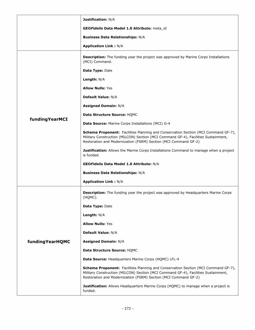
- 272 -
Justification: N/A
GEOFidelis Data Model 1.0 Attribute: meta_id
Business Data Relationships: N/A
Application Link : N/A
fundingYearMCI
Description: The funding year the project was approved by Marine Corps Installations
(MCI) Command.
Data Type: Date
Length: N/A
Allow Nulls: Yes
Default Value: N/A
Assigned Domain: N/A
Data Structure Source: HQMC
Data Source: Marine Corps Installations (MCI) G-4
Schema Proponent: Facilities Planning and Conservation Section (MCI Command GF-7),
Military Construction (MILCON) Section (MCI Command GF-4), Facilities Sustainment,
Restoration and Modernization (FSRM) Section (MCI Command GF-2)
Justification: Allows the Marine Corps Installations Command to manage when a project
is funded.
GEOFidelis Data Model 1.0 Attribute: N/A
Business Data Relationships: N/A
Application Link : N/A
fundingYearHQMC
Description: The funding year the project was approved by Headquarters Marine Corps
(HQMC).
Data Type: Date
Length: N/A
Allow Nulls: Yes
Default Value: N/A
Assigned Domain: N/A
Data Structure Source: HQMC
Data Source: Headquarters Marine Corps (HQMC) LFL-4
Schema Proponent: Facilities Planning and Conservation Section (MCI Command GF-7),
Military Construction (MILCON) Section (MCI Command GF-4), Facilities Sustainment,
Restoration and Modernization (FSRM) Section (MCI Command GF-2)
Justification: Allows Headquarters Marine Corps (HQMC) to manage when a project is
funded.
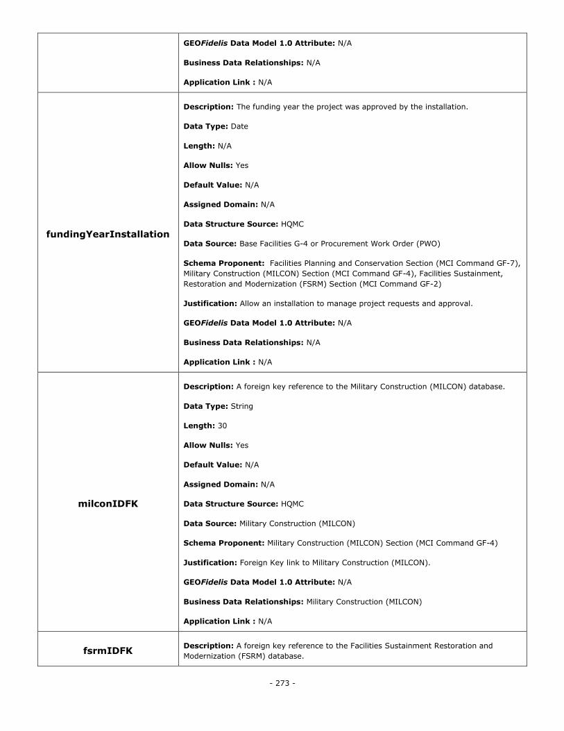
- 273 -
GEOFidelis Data Model 1.0 Attribute: N/A
Business Data Relationships: N/A
Application Link : N/A
fundingYearInstallation
Description: The funding year the project was approved by the installation.
Data Type: Date
Length: N/A
Allow Nulls: Yes
Default Value: N/A
Assigned Domain: N/A
Data Structure Source: HQMC
Data Source: Base Facilities G-4 or Procurement Work Order (PWO)
Schema Proponent: Facilities Planning and Conservation Section (MCI Command GF-7),
Military Construction (MILCON) Section (MCI Command GF-4), Facilities Sustainment,
Restoration and Modernization (FSRM) Section (MCI Command GF-2)
Justification: Allow an installation to manage project requests and approval.
GEOFidelis Data Model 1.0 Attribute: N/A
Business Data Relationships: N/A
Application Link : N/A
milconIDFK
Description: A foreign key reference to the Military Construction (MILCON) database.
Data Type: String
Length: 30
Allow Nulls: Yes
Default Value: N/A
Assigned Domain: N/A
Data Structure Source: HQMC
Data Source: Military Construction (MILCON)
Schema Proponent: Military Construction (MILCON) Section (MCI Command GF-4)
Justification: Foreign Key link to Military Construction (MILCON).
GEOFidelis Data Model 1.0 Attribute: N/A
Business Data Relationships: Military Construction (MILCON)
Application Link : N/A
fsrmIDFK Description: A foreign key reference to the Facilities Sustainment Restoration and
Modernization (FSRM) database.
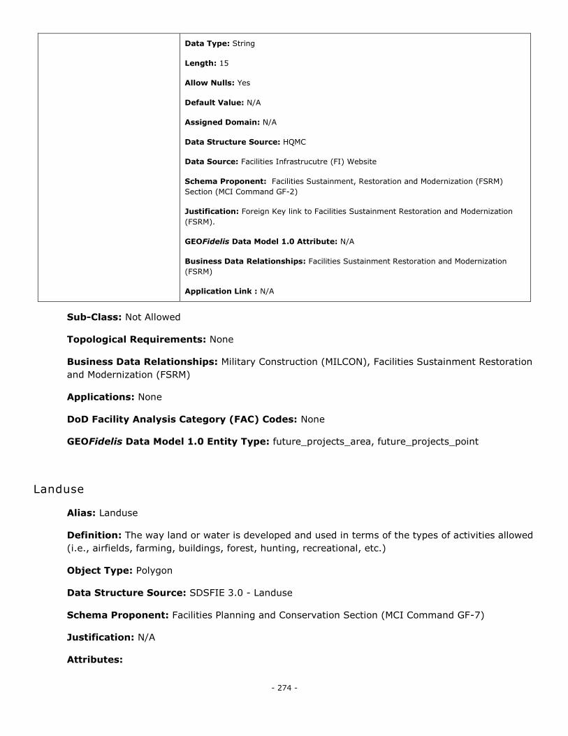
- 274 -
Data Type: String
Length: 15
Allow Nulls: Yes
Default Value: N/A
Assigned Domain: N/A
Data Structure Source: HQMC
Data Source: Facilities Infrastrucutre (FI) Website
Schema Proponent: Facilities Sustainment, Restoration and Modernization (FSRM)
Section (MCI Command GF-2)
Justification: Foreign Key link to Facilities Sustainment Restoration and Modernization
(FSRM).
GEOFidelis Data Model 1.0 Attribute: N/A
Business Data Relationships: Facilities Sustainment Restoration and Modernization
(FSRM)
Application Link : N/A
Sub-Class: Not Allowed
Topological Requirements: None
Business Data Relationships: Military Construction (MILCON), Facilities Sustainment Restoration
and Modernization (FSRM)
Applications: None
DoD Facility Analysis Category (FAC) Codes: None
GEOFidelis Data Model 1.0 Entity Type: future_projects_area, future_projects_point
Landuse
Alias: Landuse
Definition: The way land or water is developed and used in terms of the types of activities allowed
(i.e., airfields, farming, buildings, forest, hunting, recreational, etc.)
Object Type: Polygon
Data Structure Source: SDSFIE 3.0 - Landuse
Schema Proponent: Facilities Planning and Conservation Section (MCI Command GF-7)
Justification: N/A
Attributes:
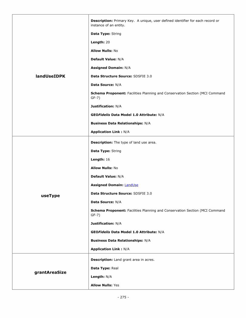
- 275 -
landUseIDPK
Description: Primary Key. A unique, user defined identifier for each record or
instance of an entity.
Data Type: String
Length: 20
Allow Nulls: No
Default Value: N/A
Assigned Domain: N/A
Data Structure Source: SDSFIE 3.0
Data Source: N/A
Schema Proponent: Facilities Planning and Conservation Section (MCI Command
GF-7)
Justification: N/A
GEOFidelis Data Model 1.0 Attribute: N/A
Business Data Relationships: N/A
Application Link : N/A
useType
Description: The type of land use area.
Data Type: String
Length: 16
Allow Nulls: No
Default Value: N/A
Assigned Domain: LandUse
Data Structure Source: SDSFIE 3.0
Data Source: N/A
Schema Proponent: Facilities Planning and Conservation Section (MCI Command
GF-7)
Justification: N/A
GEOFidelis Data Model 1.0 Attribute: N/A
Business Data Relationships: N/A
Application Link : N/A
grantAreaSize
Description: Land grant area in acres.
Data Type: Real
Length: N/A
Allow Nulls: Yes
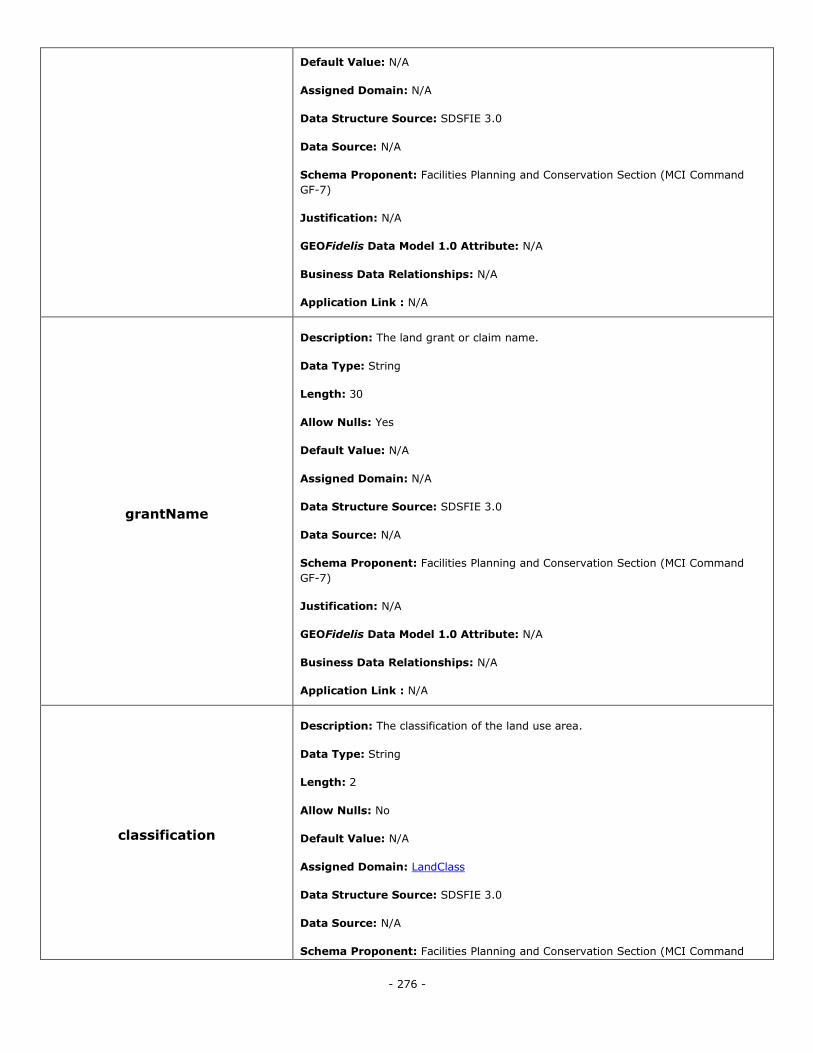
- 276 -
Default Value: N/A
Assigned Domain: N/A
Data Structure Source: SDSFIE 3.0
Data Source: N/A
Schema Proponent: Facilities Planning and Conservation Section (MCI Command
GF-7)
Justification: N/A
GEOFidelis Data Model 1.0 Attribute: N/A
Business Data Relationships: N/A
Application Link : N/A
grantName
Description: The land grant or claim name.
Data Type: String
Length: 30
Allow Nulls: Yes
Default Value: N/A
Assigned Domain: N/A
Data Structure Source: SDSFIE 3.0
Data Source: N/A
Schema Proponent: Facilities Planning and Conservation Section (MCI Command
GF-7)
Justification: N/A
GEOFidelis Data Model 1.0 Attribute: N/A
Business Data Relationships: N/A
Application Link : N/A
classification
Description: The classification of the land use area.
Data Type: String
Length: 2
Allow Nulls: No
Default Value: N/A
Assigned Domain: LandClass
Data Structure Source: SDSFIE 3.0
Data Source: N/A
Schema Proponent: Facilities Planning and Conservation Section (MCI Command
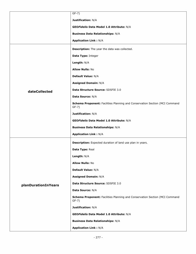
- 277 -
GF-7)
Justification: N/A
GEOFidelis Data Model 1.0 Attribute: N/A
Business Data Relationships: N/A
Application Link : N/A
dateCollected
Description: The year the data was collected.
Data Type: Integer
Length: N/A
Allow Nulls: No
Default Value: N/A
Assigned Domain: N/A
Data Structure Source: SDSFIE 3.0
Data Source: N/A
Schema Proponent: Facilities Planning and Conservation Section (MCI Command
GF-7)
Justification: N/A
GEOFidelis Data Model 1.0 Attribute: N/A
Business Data Relationships: N/A
Application Link : N/A
planDurationInYears
Description: Expected duration of land use plan in years.
Data Type: Real
Length: N/A
Allow Nulls: No
Default Value: N/A
Assigned Domain: N/A
Data Structure Source: SDSFIE 3.0
Data Source: N/A
Schema Proponent: Facilities Planning and Conservation Section (MCI Command
GF-7)
Justification: N/A
GEOFidelis Data Model 1.0 Attribute: N/A
Business Data Relationships: N/A
Application Link : N/A
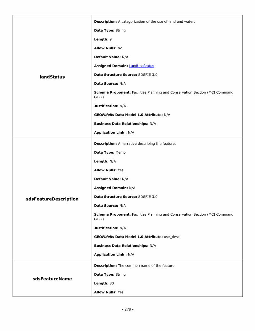
- 278 -
landStatus
Description: A categorization of the use of land and water.
Data Type: String
Length: 9
Allow Nulls: No
Default Value: N/A
Assigned Domain: LandUseStatus
Data Structure Source: SDSFIE 3.0
Data Source: N/A
Schema Proponent: Facilities Planning and Conservation Section (MCI Command
GF-7)
Justification: N/A
GEOFidelis Data Model 1.0 Attribute: N/A
Business Data Relationships: N/A
Application Link : N/A
sdsFeatureDescription
Description: A narrative describing the feature.
Data Type: Memo
Length: N/A
Allow Nulls: Yes
Default Value: N/A
Assigned Domain: N/A
Data Structure Source: SDSFIE 3.0
Data Source: N/A
Schema Proponent: Facilities Planning and Conservation Section (MCI Command
GF-7)
Justification: N/A
GEOFidelis Data Model 1.0 Attribute: use_desc
Business Data Relationships: N/A
Application Link : N/A
sdsFeatureName
Description: The common name of the feature.
Data Type: String
Length: 80
Allow Nulls: Yes
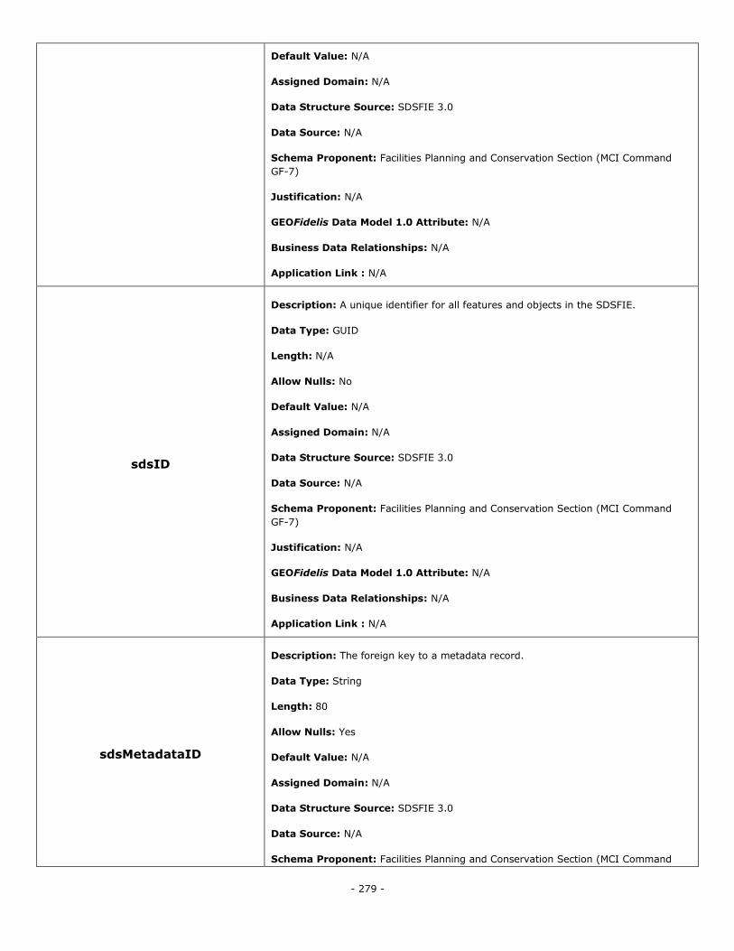
- 279 -
Default Value: N/A
Assigned Domain: N/A
Data Structure Source: SDSFIE 3.0
Data Source: N/A
Schema Proponent: Facilities Planning and Conservation Section (MCI Command
GF-7)
Justification: N/A
GEOFidelis Data Model 1.0 Attribute: N/A
Business Data Relationships: N/A
Application Link : N/A
sdsID
Description: A unique identifier for all features and objects in the SDSFIE.
Data Type: GUID
Length: N/A
Allow Nulls: No
Default Value: N/A
Assigned Domain: N/A
Data Structure Source: SDSFIE 3.0
Data Source: N/A
Schema Proponent: Facilities Planning and Conservation Section (MCI Command
GF-7)
Justification: N/A
GEOFidelis Data Model 1.0 Attribute: N/A
Business Data Relationships: N/A
Application Link : N/A
sdsMetadataID
Description: The foreign key to a metadata record.
Data Type: String
Length: 80
Allow Nulls: Yes
Default Value: N/A
Assigned Domain: N/A
Data Structure Source: SDSFIE 3.0
Data Source: N/A
Schema Proponent: Facilities Planning and Conservation Section (MCI Command
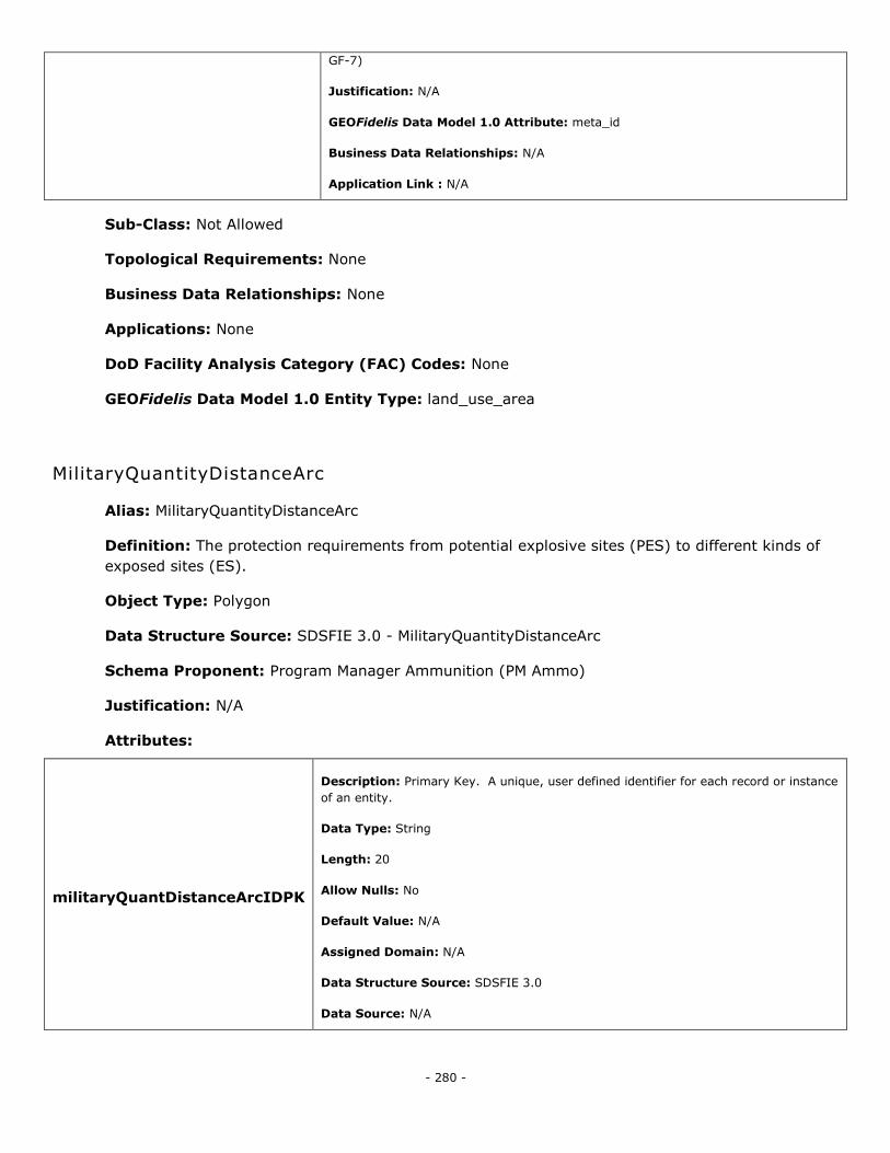
- 280 -
GF-7)
Justification: N/A
GEOFidelis Data Model 1.0 Attribute: meta_id
Business Data Relationships: N/A
Application Link : N/A
Sub-Class: Not Allowed
Topological Requirements: None
Business Data Relationships: None
Applications: None
DoD Facility Analysis Category (FAC) Codes: None
GEOFidelis Data Model 1.0 Entity Type: land_use_area
MilitaryQuantityDistanceArc
Alias: MilitaryQuantityDistanceArc
Definition: The protection requirements from potential explosive sites (PES) to different kinds of
exposed sites (ES).
Object Type: Polygon
Data Structure Source: SDSFIE 3.0 - MilitaryQuantityDistanceArc
Schema Proponent: Program Manager Ammunition (PM Ammo)
Justification: N/A
Attributes:
militaryQuantDistanceArcIDPK
Description: Primary Key. A unique, user defined identifier for each record or instance
of an entity.
Data Type: String
Length: 20
Allow Nulls: No
Default Value: N/A
Assigned Domain: N/A
Data Structure Source: SDSFIE 3.0
Data Source: N/A
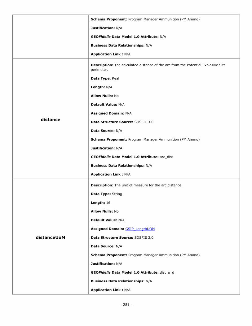
- 281 -
Schema Proponent: Program Manager Ammunition (PM Ammo)
Justification: N/A
GEOFidelis Data Model 1.0 Attribute: N/A
Business Data Relationships: N/A
Application Link : N/A
distance
Description: The calculated distance of the arc from the Potential Explosive Site
perimeter.
Data Type: Real
Length: N/A
Allow Nulls: No
Default Value: N/A
Assigned Domain: N/A
Data Structure Source: SDSFIE 3.0
Data Source: N/A
Schema Proponent: Program Manager Ammunition (PM Ammo)
Justification: N/A
GEOFidelis Data Model 1.0 Attribute: arc_dist
Business Data Relationships: N/A
Application Link : N/A
distanceUoM
Description: The unit of measure for the arc distance.
Data Type: String
Length: 16
Allow Nulls: No
Default Value: N/A
Assigned Domain: GSIP_LengthUOM
Data Structure Source: SDSFIE 3.0
Data Source: N/A
Schema Proponent: Program Manager Ammunition (PM Ammo)
Justification: N/A
GEOFidelis Data Model 1.0 Attribute: dist_u_d
Business Data Relationships: N/A
Application Link : N/A
- 282 -
facilityNumber
Description: A locally developed asset identification that is normally visible, either
painted or by signage on the exterior of a real property facility, used for visual
identification of the facility.
Data Type: String
Length: 10
Allow Nulls: No
Default Value: N/A
Assigned Domain: N/A
Data Structure Source: SDSFIE 3.0
Data Source: N/A
Schema Proponent: Program Manager Ammunition (PM Ammo)
Justification: N/A
GEOFidelis Data Model 1.0 Attribute: N/A
Business Data Relationships: N/A
Application Link : N/A
rpuid
Description: Real property system unique identifier for facility property item.
Data Type: String
Length: 50
Allow Nulls: No
Default Value: N/A
Assigned Domain: N/A
Data Structure Source: SDSFIE 3.0
Data Source: N/A
Schema Proponent: Program Manager Ammunition (PM Ammo)
Justification: N/A
GEOFidelis Data Model 1.0 Attribute: N/A
Business Data Relationships: N/A
Application Link : N/A
sdsFeatureDescription
Description: A narrative describing the feature.
Data Type: Memo
Length: N/A
Allow Nulls: Yes

- 283 -
Default Value: N/A
Assigned Domain: N/A
Data Structure Source: SDSFIE 3.0
Data Source: N/A
Schema Proponent: Program Manager Ammunition (PM Ammo)
Justification: N/A
GEOFidelis Data Model 1.0 Attribute: feat_desc
Business Data Relationships: N/A
Application Link : N/A
sdsFeatureName
Description: The common name of the feature.
Data Type: String
Length: 80
Allow Nulls: Yes
Default Value: N/A
Assigned Domain: N/A
Data Structure Source: SDSFIE 3.0
Data Source: N/A
Schema Proponent: Program Manager Ammunition (PM Ammo)
Justification: N/A
GEOFidelis Data Model 1.0 Attribute: N/A
Business Data Relationships: N/A
Application Link : N/A
sdsID
Description: A unique identifier for all features and objects in the SDSFIE.
Data Type: GUID
Length: N/A
Allow Nulls: No
Default Value: N/A
Assigned Domain: N/A
Data Structure Source: SDSFIE 3.0
Data Source: N/A
Schema Proponent: Program Manager Ammunition (PM Ammo)
- 284 -
Justification: N/A
GEOFidelis Data Model 1.0 Attribute: N/A
Business Data Relationships: N/A
Application Link : N/A
sdsMetadataID
Description: The foreign key to a metadata record.
Data Type: String
Length: 80
Allow Nulls: Yes
Default Value: N/A
Assigned Domain: N/A
Data Structure Source: SDSFIE 3.0
Data Source: N/A
Schema Proponent: Program Manager Ammunition (PM Ammo)
Justification: N/A
GEOFidelis Data Model 1.0 Attribute: meta_id
Business Data Relationships: N/A
Application Link : N/A
Sub-Class: Not Allowed
Topological Requirements: The polygons represent the protection requirement distance arc,
from a designated location, where there is a Potential Explosive Site (PES). These represent
individual arcs for each PES and can overlap. The MilQuantityDistanceCombinedArc feature will
show a union of these individual arcs.
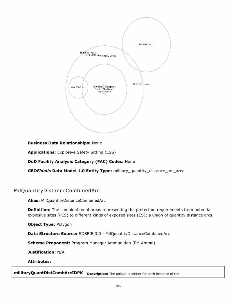
- 285 -
Business Data Relationships: None
Applications: Explosive Safety Sitting (ESS)
DoD Facility Analysis Category (FAC) Codes: None
GEOFidelis Data Model 1.0 Entity Type: military_quantity_distance_arc_area
MilQuantityDistanceCombinedArc
Alias: MilQuantityDistanceCombinedArc
Definition: The combination of areas representing the protection requirements from potential
explosive sites (PES) to different kinds of exposed sites (ES); a union of quantity distance arcs.
Object Type: Polygon
Data Structure Source: SDSFIE 3.0 - MilQuantityDistanceCombinedArc
Schema Proponent: Program Manager Ammunition (PM Ammo)
Justification: N/A
Attributes:
militaryQuantDistCombArcIDPK Description: The unique identifier for each instance of the
- 286 -
MilitaryQuantityDistanceCombinedArc feature type.
Data Type: String
Length: 20
Allow Nulls: No
Default Value: N/A
Assigned Domain: N/A
Data Structure Source: SDSFIE 3.0
Data Source: N/A
Schema Proponent: Program Manager Ammunition (PM Ammo)
Justification: N/A
GEOFidelis Data Model 1.0 Attribute: N/A
Business Data Relationships: N/A
Application Link : N/A
arcType
Description: Type of the ESQD arc.
Data Type: String
Length: 17
Allow Nulls: No
Default Value: N/A
Assigned Domain: quantityDistanceArcType
Data Structure Source: SDSFIE 3.0
Data Source: N/A
Schema Proponent: Program Manager Ammunition (PM Ammo)
Justification: N/A
GEOFidelis Data Model 1.0 Attribute: N/A
Business Data Relationships: N/A
Application Link : N/A
distance
Description: The calculated distance of the arc from the Potential Explosive Site
perimeter. (The information for the largest radius is to be used.)
Data Type: Real
Length: N/A
Allow Nulls: No
Default Value: N/A
- 287 -
Assigned Domain: N/A
Data Structure Source: SDSFIE 3.0
Data Source: N/A
Schema Proponent: Program Manager Ammunition (PM Ammo)
Justification: N/A
GEOFidelis Data Model 1.0 Attribute: N/A
Business Data Relationships: N/A
Application Link : N/A
distanceUoM
Description: The unit of measure for the arc distance. (The information for the
largest radius is to be used.)
Data Type: String
Length: 16
Allow Nulls: No
Default Value: N/A
Assigned Domain: GSIP_LengthOUM
Data Structure Source: SDSFIE 3.0
Data Source: N/A
Schema Proponent: Program Manager Ammunition (PM Ammo)
Justification: N/A
GEOFidelis Data Model 1.0 Attribute: N/A
Business Data Relationships: N/A
Application Link : N/A
sdsFeatureDescription
Description: A narrative describing the feature.
Data Type: Memo
Length: N/A
Allow Nulls: Yes
Default Value: N/A
Assigned Domain: N/A
Data Structure Source: SDSFIE 3.0
Data Source: N/A
Schema Proponent: Program Manager Ammunition (PM Ammo)
Justification: N/A
- 288 -
GEOFidelis Data Model 1.0 Attribute: N/A
Business Data Relationships: N/A
Application Link : N/A
sdsFeatureName
Description: The common name of the feature.
Data Type: String
Length: 80
Allow Nulls: Yes
Default Value: N/A
Assigned Domain: N/A
Data Structure Source: SDSFIE 3.0
Data Source: N/A
Schema Proponent: Program Manager Ammunition (PM Ammo)
Justification: N/A
GEOFidelis Data Model 1.0 Attribute: N/A
Business Data Relationships: N/A
Application Link : N/A
sdsID
Description: A unique identifier for all features and objects in the SDSFIE.
Data Type: GUID
Length: N/A
Allow Nulls: No
Default Value: N/A
Assigned Domain: N/A
Data Structure Source: SDSFIE 3.0
Data Source: N/A
Schema Proponent: Program Manager Ammunition (PM Ammo)
Justification: N/A
GEOFidelis Data Model 1.0 Attribute: N/A
Business Data Relationships: N/A
Application Link : N/A
sdsMetadataID Description: The foreign key to a metadata record.
Data Type: String
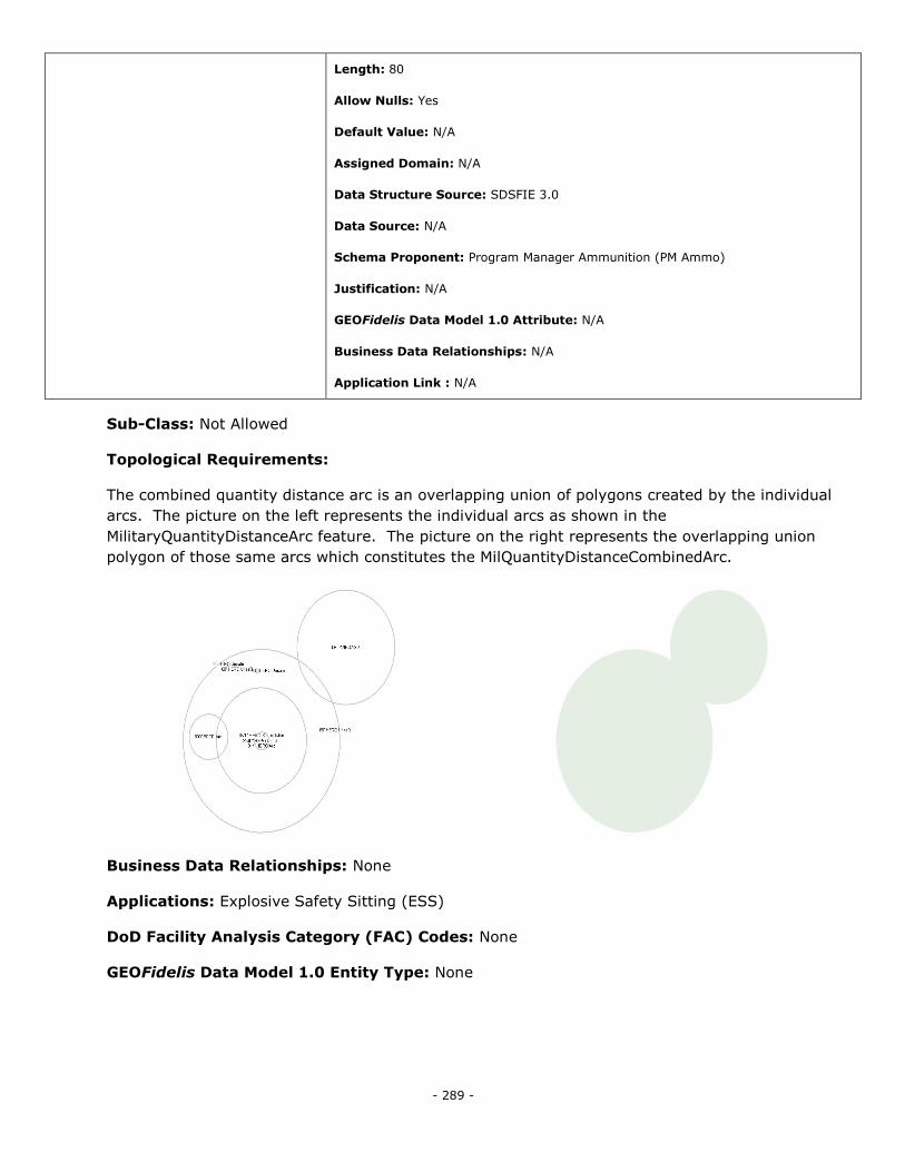
- 289 -
Length: 80
Allow Nulls: Yes
Default Value: N/A
Assigned Domain: N/A
Data Structure Source: SDSFIE 3.0
Data Source: N/A
Schema Proponent: Program Manager Ammunition (PM Ammo)
Justification: N/A
GEOFidelis Data Model 1.0 Attribute: N/A
Business Data Relationships: N/A
Application Link : N/A
Sub-Class: Not Allowed
Topological Requirements:
The combined quantity distance arc is an overlapping union of polygons created by the individual
arcs. The picture on the left represents the individual arcs as shown in the
MilitaryQuantityDistanceArc feature. The picture on the right represents the overlapping union
polygon of those same arcs which constitutes the MilQuantityDistanceCombinedArc.
Business Data Relationships: None
Applications: Explosive Safety Sitting (ESS)
DoD Facility Analysis Category (FAC) Codes: None
GEOFidelis Data Model 1.0 Entity Type: None
- 290 -
ProjectReference
Alias: ProjectReference
Definition: Location of or area delineating a specific project.
Object Type: Polygon
Data Structure Source: SDSFIE 3.0 - ProjectReference
Schema Proponent: Facilities Planning and Conservation Section (MCI Command GF-7)
Justification: N/A
Attributes:
projectReferenceIDPK
Description: The unique identifier for each instance of the ProjectReference feature type.
Data Type: String
Length: 20
Allow Nulls: No
Default Value: N/A
Assigned Domain: N/A
Data Structure Source: SDSFIE 3.0
Data Source: N/A
Schema Proponent: Facilities Planning and Conservation Section (MCI Command GF-7)
Justification: N/A
GEOFidelis Data Model 1.0 Attribute: N/A
Business Data Relationships: N/A
Application Link : N/A
projectID
Description: A foreign key reference to a project identifier used by an external business
system.
Data Type: String
Length: 30
Allow Nulls: Yes
Default Value: N/A
Assigned Domain: N/A
Data Structure Source: SDSFIE 3.0
Data Source: N/A
- 291 -
Schema Proponent: Facilities Planning and Conservation Section (MCI Command GF-7)
Justification: N/A
GEOFidelis Data Model 1.0 Attribute: N/A
Business Data Relationships: N/A
Application Link : N/A
sdsFeatureDescription
Description: A narrative describing the feature.
Data Type: Memo
Length: N/A
Allow Nulls: Yes
Default Value: N/A
Assigned Domain: N/A
Data Structure Source: SDSFIE 3.0
Data Source: N/A
Schema Proponent: Facilities Planning and Conservation Section (MCI Command GF-7)
Justification: N/A
GEOFidelis Data Model 1.0 Attribute: N/A
Business Data Relationships: N/A
Application Link : N/A
sdsFeatureName
Description: The common name of the feature.
Data Type: String
Length: 80
Allow Nulls: No
Default Value: N/A
Assigned Domain: N/A
Data Structure Source: SDSFIE 3.0
Data Source: N/A
Schema Proponent: Facilities Planning and Conservation Section (MCI Command GF-7)
Justification: N/A
GEOFidelis Data Model 1.0 Attribute: N/A
Business Data Relationships: N/A
Application Link : N/A
- 292 -
sdsID
Description: A unique identifier for all features and objects in the SDSFIE.
Data Type: GUID
Length: N/A
Allow Nulls: No
Default Value: N/A
Assigned Domain: N/A
Data Structure Source: SDSFIE 3.0
Data Source: N/A
Schema Proponent: Facilities Planning and Conservation Section (MCI Command GF-7)
Justification: N/A
GEOFidelis Data Model 1.0 Attribute: N/A
Business Data Relationships: N/A
Application Link : N/A
sdsMetadataID
Description: The foreign key to a metadata record.
Data Type: String
Length: 80
Allow Nulls: Yes
Default Value: N/A
Assigned Domain: N/A
Data Structure Source: SDSFIE 3.0
Data Source: N/A
Schema Proponent: Facilities Planning and Conservation Section (MCI Command GF-7)
Justification: N/A
GEOFidelis Data Model 1.0 Attribute: N/A
Business Data Relationships: N/A
Application Link : N/A
Sub-Class: Not Allowed
Topological Requirements: The Project Reference Boundary will meet the requirements of the
Must Be Covered By topology rule. The Must Be Covered By rule requires that polygons of one or
more feature types must be contained within polygons of another feature type. Polygons may share
edges or vertices. Any area defined in the contained feature type must be covered by an area in
the covering feature type. This rule is used when area features of a given type must be located
within features of another type.
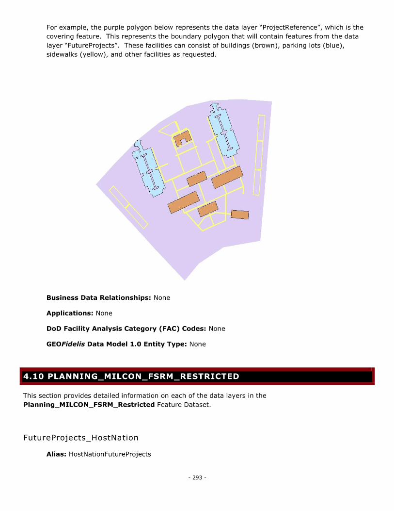
- 293 -
For example, the purple polygon below represents the data layer ―ProjectReference‖, which is the
covering feature. This represents the boundary polygon that will contain features from the data
layer ―FutureProjects‖. These facilities can consist of buildings (brown), parking lots (blue),
sidewalks (yellow), and other facilities as requested.
Business Data Relationships: None
Applications: None
DoD Facility Analysis Category (FAC) Codes: None
GEOFidelis Data Model 1.0 Entity Type: None
4.10 PLANNING_MILCON_FSRM_RESTRICTED
This section provides detailed information on each of the data layers in the
Planning_MILCON_FSRM_Restricted Feature Dataset.
FutureProjects_HostNation
Alias: HostNationFutureProjects
- 294 -
Definition: Tasks or activities that are designated to occur at a later date. These are construction
projects funded by the host nation, excluding the United States.
Object Type: Polygon, Point
Data Structure Source: SDSFIE 3.0 - FutureProjects
Schema Proponent: Facilities Planning and Conservation Section (MCI Command GF-7), Military
Construction (MILCON) Section (MCI Command GF-4)
Justification: Projects that are funded by a host nation are considered sensitive and require their
own feature type.
Attributes:
futureProjectsIDPK
Description: Primary Key. A locally assigned identifier for the record.
Data Type: String
Length: 20
Allow Nulls: No
Default Value: N/A
Assigned Domain: N/A
Data Structure Source: SDSFIE 3.0
Data Source: N/A
Schema Proponent: Facilities Planning and Conservation Section (MCI Command GF-7),
Military Construction (MILCON) Section (MCI Command GF-4)
Justification: N/A
GEOFidelis Data Model 1.0 Attribute: N/A
Business Data Relationships: N/A
Application Link : N/A
featureType
Description: The type of feature that the project is for.
Data Type: String
Length: 16
Allow Nulls: No
Default Value: N/A
Assigned Domain: PlanningFeatureType
Data Structure Source: SDSFIE 3.0
Data Source: N/A
Schema Proponent: Facilities Planning and Conservation Section (MCI Command GF-7),
Military Construction (MILCON) Section (MCI Command GF-4)
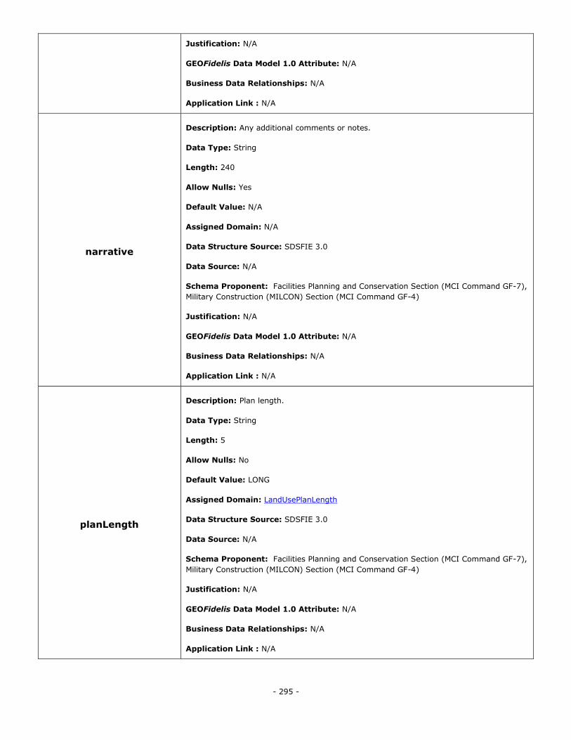
- 295 -
Justification: N/A
GEOFidelis Data Model 1.0 Attribute: N/A
Business Data Relationships: N/A
Application Link : N/A
narrative
Description: Any additional comments or notes.
Data Type: String
Length: 240
Allow Nulls: Yes
Default Value: N/A
Assigned Domain: N/A
Data Structure Source: SDSFIE 3.0
Data Source: N/A
Schema Proponent: Facilities Planning and Conservation Section (MCI Command GF-7),
Military Construction (MILCON) Section (MCI Command GF-4)
Justification: N/A
GEOFidelis Data Model 1.0 Attribute: N/A
Business Data Relationships: N/A
Application Link : N/A
planLength
Description: Plan length.
Data Type: String
Length: 5
Allow Nulls: No
Default Value: LONG
Assigned Domain: LandUsePlanLength
Data Structure Source: SDSFIE 3.0
Data Source: N/A
Schema Proponent: Facilities Planning and Conservation Section (MCI Command GF-7),
Military Construction (MILCON) Section (MCI Command GF-4)
Justification: N/A
GEOFidelis Data Model 1.0 Attribute: N/A
Business Data Relationships: N/A
Application Link : N/A
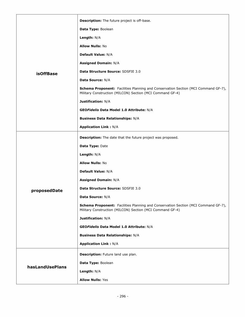
- 296 -
isOffBase
Description: The future project is off-base.
Data Type: Boolean
Length: N/A
Allow Nulls: No
Default Value: N/A
Assigned Domain: N/A
Data Structure Source: SDSFIE 3.0
Data Source: N/A
Schema Proponent: Facilities Planning and Conservation Section (MCI Command GF-7),
Military Construction (MILCON) Section (MCI Command GF-4)
Justification: N/A
GEOFidelis Data Model 1.0 Attribute: N/A
Business Data Relationships: N/A
Application Link : N/A
proposedDate
Description: The date that the future project was proposed.
Data Type: Date
Length: N/A
Allow Nulls: No
Default Value: N/A
Assigned Domain: N/A
Data Structure Source: SDSFIE 3.0
Data Source: N/A
Schema Proponent: Facilities Planning and Conservation Section (MCI Command GF-7),
Military Construction (MILCON) Section (MCI Command GF-4)
Justification: N/A
GEOFidelis Data Model 1.0 Attribute: N/A
Business Data Relationships: N/A
Application Link : N/A
hasLandUsePlans
Description: Future land use plan.
Data Type: Boolean
Length: N/A
Allow Nulls: Yes
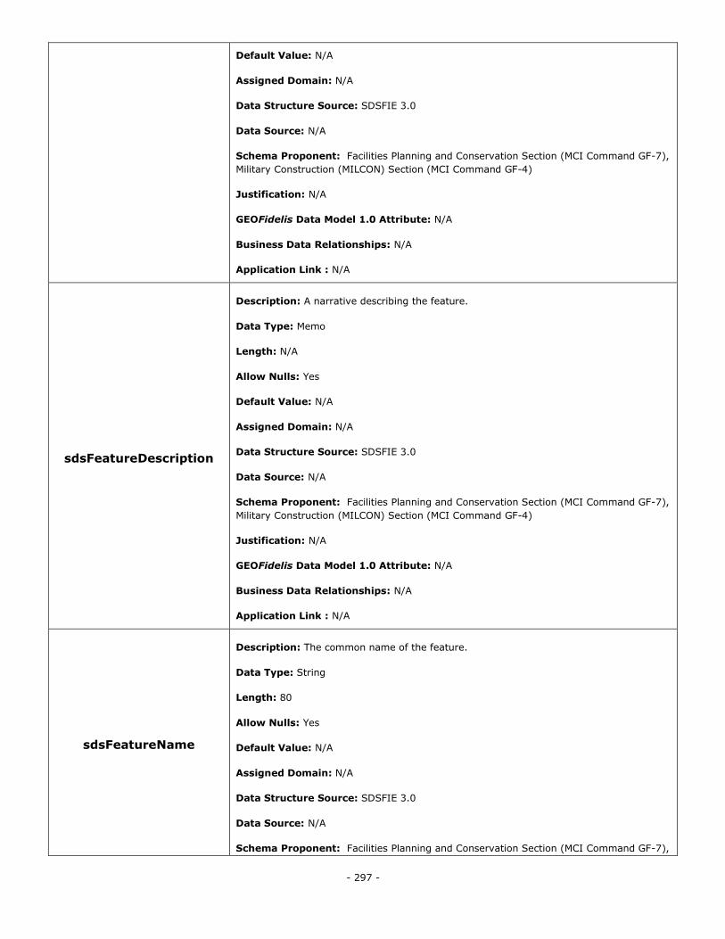
- 297 -
Default Value: N/A
Assigned Domain: N/A
Data Structure Source: SDSFIE 3.0
Data Source: N/A
Schema Proponent: Facilities Planning and Conservation Section (MCI Command GF-7),
Military Construction (MILCON) Section (MCI Command GF-4)
Justification: N/A
GEOFidelis Data Model 1.0 Attribute: N/A
Business Data Relationships: N/A
Application Link : N/A
sdsFeatureDescription
Description: A narrative describing the feature.
Data Type: Memo
Length: N/A
Allow Nulls: Yes
Default Value: N/A
Assigned Domain: N/A
Data Structure Source: SDSFIE 3.0
Data Source: N/A
Schema Proponent: Facilities Planning and Conservation Section (MCI Command GF-7),
Military Construction (MILCON) Section (MCI Command GF-4)
Justification: N/A
GEOFidelis Data Model 1.0 Attribute: N/A
Business Data Relationships: N/A
Application Link : N/A
sdsFeatureName
Description: The common name of the feature.
Data Type: String
Length: 80
Allow Nulls: Yes
Default Value: N/A
Assigned Domain: N/A
Data Structure Source: SDSFIE 3.0
Data Source: N/A
Schema Proponent: Facilities Planning and Conservation Section (MCI Command GF-7),
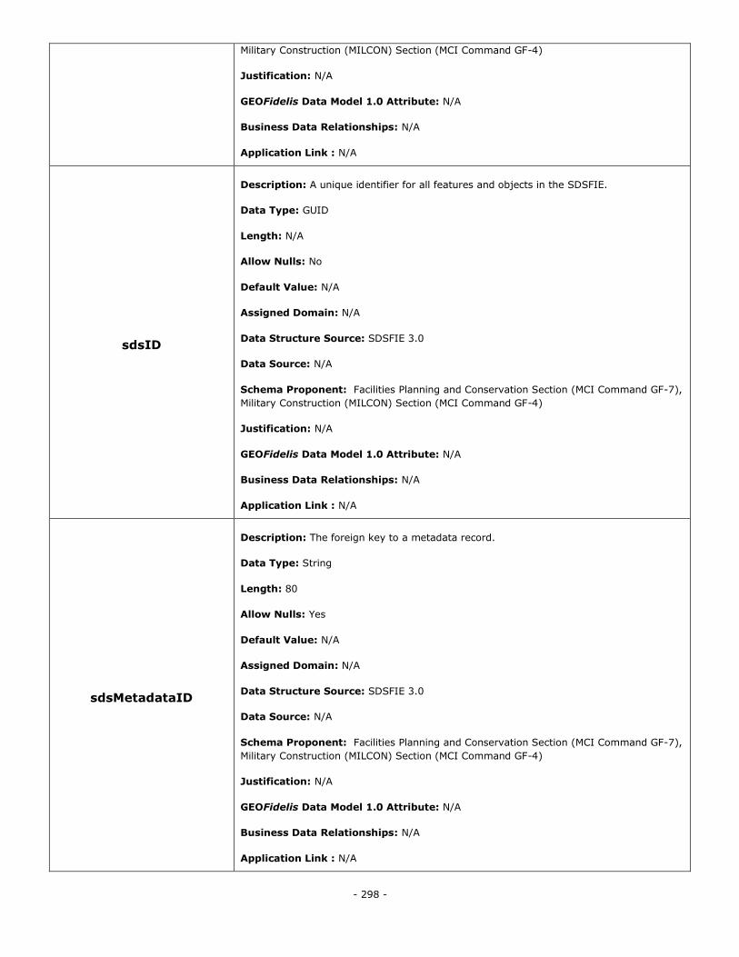
- 298 -
Military Construction (MILCON) Section (MCI Command GF-4)
Justification: N/A
GEOFidelis Data Model 1.0 Attribute: N/A
Business Data Relationships: N/A
Application Link : N/A
sdsID
Description: A unique identifier for all features and objects in the SDSFIE.
Data Type: GUID
Length: N/A
Allow Nulls: No
Default Value: N/A
Assigned Domain: N/A
Data Structure Source: SDSFIE 3.0
Data Source: N/A
Schema Proponent: Facilities Planning and Conservation Section (MCI Command GF-7),
Military Construction (MILCON) Section (MCI Command GF-4)
Justification: N/A
GEOFidelis Data Model 1.0 Attribute: N/A
Business Data Relationships: N/A
Application Link : N/A
sdsMetadataID
Description: The foreign key to a metadata record.
Data Type: String
Length: 80
Allow Nulls: Yes
Default Value: N/A
Assigned Domain: N/A
Data Structure Source: SDSFIE 3.0
Data Source: N/A
Schema Proponent: Facilities Planning and Conservation Section (MCI Command GF-7),
Military Construction (MILCON) Section (MCI Command GF-4)
Justification: N/A
GEOFidelis Data Model 1.0 Attribute: N/A
Business Data Relationships: N/A
Application Link : N/A
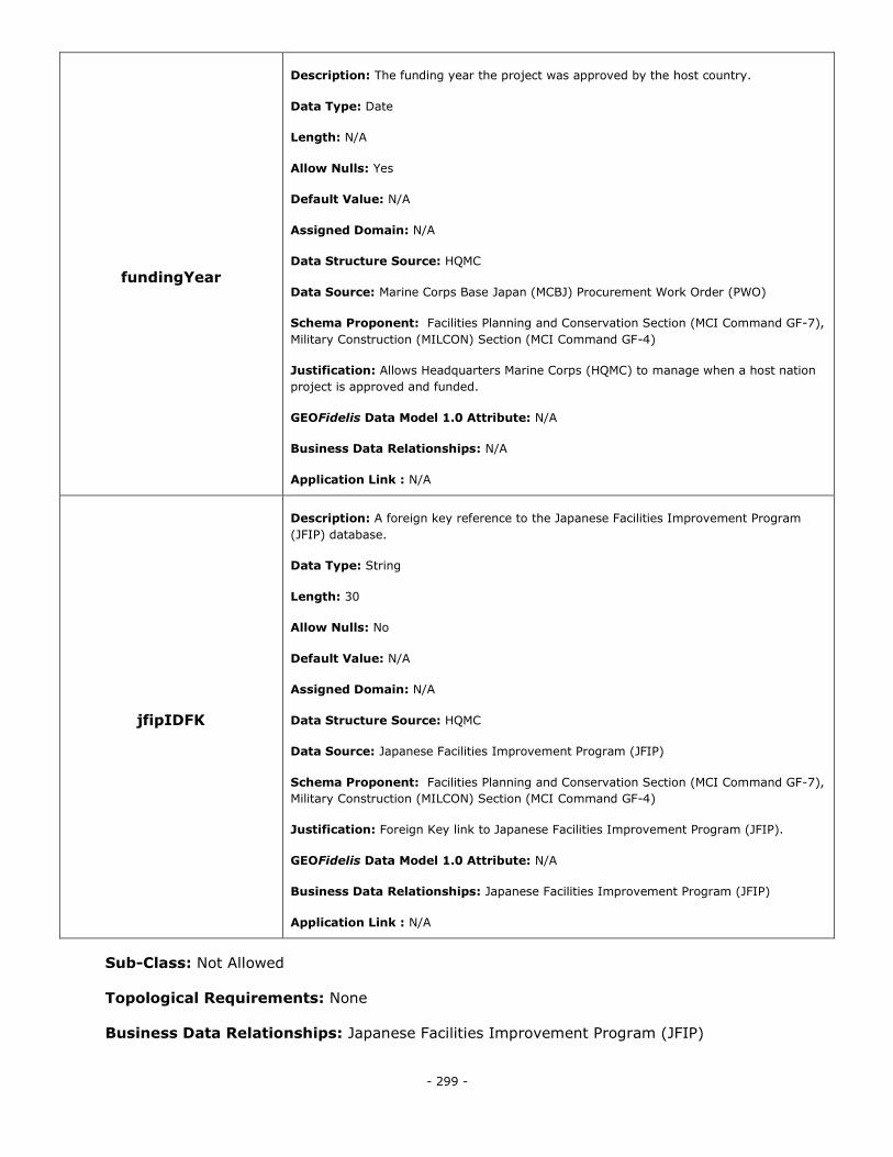
- 299 -
fundingYear
Description: The funding year the project was approved by the host country.
Data Type: Date
Length: N/A
Allow Nulls: Yes
Default Value: N/A
Assigned Domain: N/A
Data Structure Source: HQMC
Data Source: Marine Corps Base Japan (MCBJ) Procurement Work Order (PWO)
Schema Proponent: Facilities Planning and Conservation Section (MCI Command GF-7),
Military Construction (MILCON) Section (MCI Command GF-4)
Justification: Allows Headquarters Marine Corps (HQMC) to manage when a host nation
project is approved and funded.
GEOFidelis Data Model 1.0 Attribute: N/A
Business Data Relationships: N/A
Application Link : N/A
jfipIDFK
Description: A foreign key reference to the Japanese Facilities Improvement Program
(JFIP) database.
Data Type: String
Length: 30
Allow Nulls: No
Default Value: N/A
Assigned Domain: N/A
Data Structure Source: HQMC
Data Source: Japanese Facilities Improvement Program (JFIP)
Schema Proponent: Facilities Planning and Conservation Section (MCI Command GF-7),
Military Construction (MILCON) Section (MCI Command GF-4)
Justification: Foreign Key link to Japanese Facilities Improvement Program (JFIP).
GEOFidelis Data Model 1.0 Attribute: N/A
Business Data Relationships: Japanese Facilities Improvement Program (JFIP)
Application Link : N/A
Sub-Class: Not Allowed
Topological Requirements: None
Business Data Relationships: Japanese Facilities Improvement Program (JFIP)
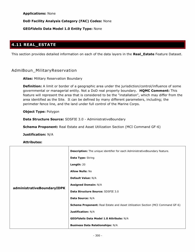
- 300 -
Applications: None
DoD Facility Analysis Category (FAC) Codes: None
GEOFidelis Data Model 1.0 Entity Type: None
4.11 REAL_ESTATE
This section provides detailed information on each of the data layers in the Real_Estate Feature Dataset.
AdmiBoun_MilitaryReservation
Alias: Military Reservation Boundary
Definition: A limit or border of a geographic area under the jurisdiction/control/influence of some
governmental or managerial entity. Not a DoD real property boundary. HQMC Comment: This
feature will represent the area that is considered to be the "installation", which may differ from the
area identified as the Site. It can be defined by many different parameters, including; the
perimeter fence line, and the land under full control of the Marine Corps.
Object Type: Polygon
Data Structure Source: SDSFIE 3.0 - AdministrativeBoundary
Schema Proponent: Real Estate and Asset Utilization Section (MCI Command GF-6)
Justification: N/A
Attributes:
administrativeBoundaryIDPK
Description: The unique identifier for each AdministrativeBoundary feature.
Data Type: String
Length: 20
Allow Nulls: No
Default Value: N/A
Assigned Domain: N/A
Data Structure Source: SDSFIE 3.0
Data Source: N/A
Schema Proponent: Real Estate and Asset Utilization Section (MCI Command GF-6)
Justification: N/A
GEOFidelis Data Model 1.0 Attribute: N/A
Business Data Relationships: N/A
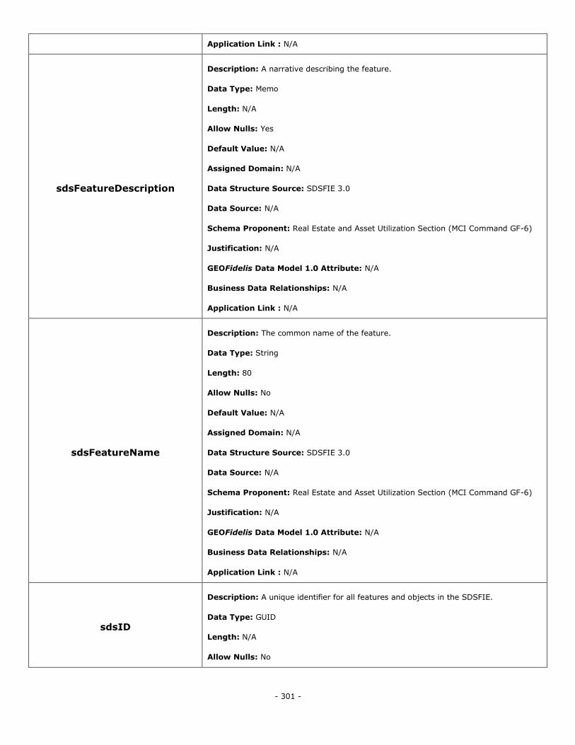
- 301 -
Application Link : N/A
sdsFeatureDescription
Description: A narrative describing the feature.
Data Type: Memo
Length: N/A
Allow Nulls: Yes
Default Value: N/A
Assigned Domain: N/A
Data Structure Source: SDSFIE 3.0
Data Source: N/A
Schema Proponent: Real Estate and Asset Utilization Section (MCI Command GF-6)
Justification: N/A
GEOFidelis Data Model 1.0 Attribute: N/A
Business Data Relationships: N/A
Application Link : N/A
sdsFeatureName
Description: The common name of the feature.
Data Type: String
Length: 80
Allow Nulls: No
Default Value: N/A
Assigned Domain: N/A
Data Structure Source: SDSFIE 3.0
Data Source: N/A
Schema Proponent: Real Estate and Asset Utilization Section (MCI Command GF-6)
Justification: N/A
GEOFidelis Data Model 1.0 Attribute: N/A
Business Data Relationships: N/A
Application Link : N/A
sdsID
Description: A unique identifier for all features and objects in the SDSFIE.
Data Type: GUID
Length: N/A
Allow Nulls: No
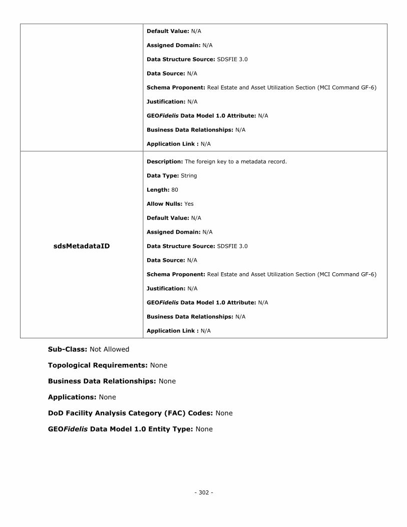
- 302 -
Default Value: N/A
Assigned Domain: N/A
Data Structure Source: SDSFIE 3.0
Data Source: N/A
Schema Proponent: Real Estate and Asset Utilization Section (MCI Command GF-6)
Justification: N/A
GEOFidelis Data Model 1.0 Attribute: N/A
Business Data Relationships: N/A
Application Link : N/A
sdsMetadataID
Description: The foreign key to a metadata record.
Data Type: String
Length: 80
Allow Nulls: Yes
Default Value: N/A
Assigned Domain: N/A
Data Structure Source: SDSFIE 3.0
Data Source: N/A
Schema Proponent: Real Estate and Asset Utilization Section (MCI Command GF-6)
Justification: N/A
GEOFidelis Data Model 1.0 Attribute: N/A
Business Data Relationships: N/A
Application Link : N/A
Sub-Class: Not Allowed
Topological Requirements: None
Business Data Relationships: None
Applications: None
DoD Facility Analysis Category (FAC) Codes: None
GEOFidelis Data Model 1.0 Entity Type: None
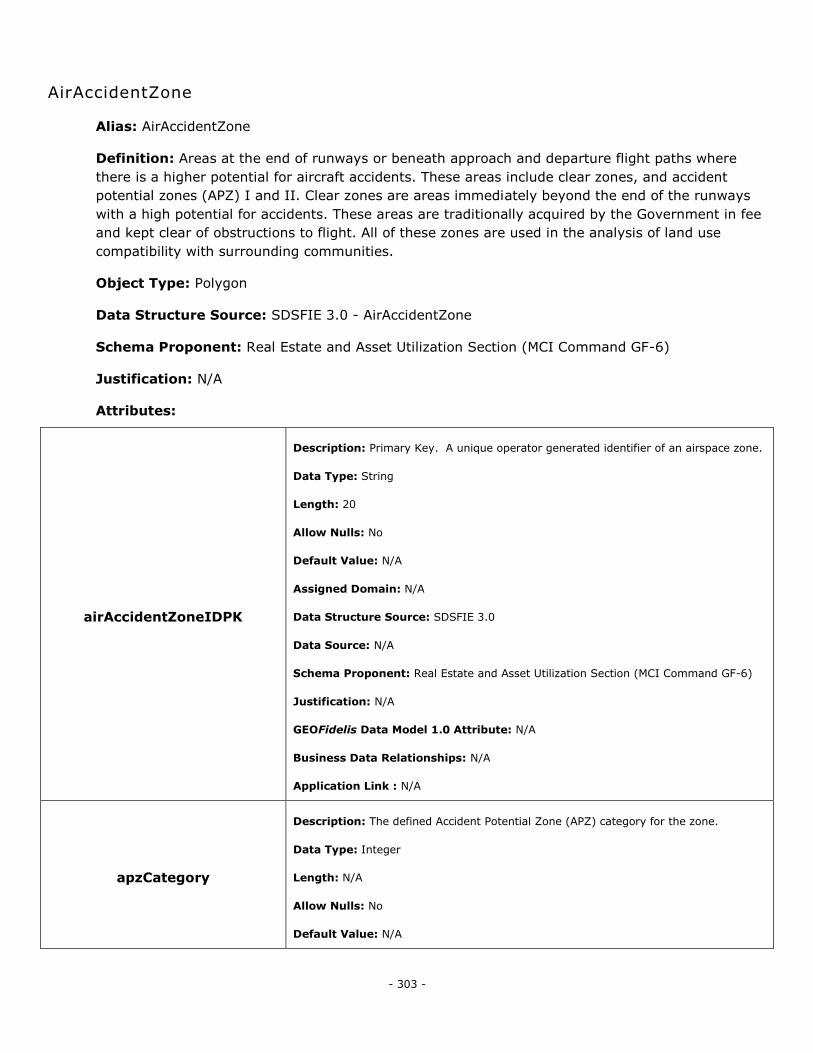
- 303 -
AirAccidentZone
Alias: AirAccidentZone
Definition: Areas at the end of runways or beneath approach and departure flight paths where
there is a higher potential for aircraft accidents. These areas include clear zones, and accident
potential zones (APZ) I and II. Clear zones are areas immediately beyond the end of the runways
with a high potential for accidents. These areas are traditionally acquired by the Government in fee
and kept clear of obstructions to flight. All of these zones are used in the analysis of land use
compatibility with surrounding communities.
Object Type: Polygon
Data Structure Source: SDSFIE 3.0 - AirAccidentZone
Schema Proponent: Real Estate and Asset Utilization Section (MCI Command GF-6)
Justification: N/A
Attributes:
airAccidentZoneIDPK
Description: Primary Key. A unique operator generated identifier of an airspace zone.
Data Type: String
Length: 20
Allow Nulls: No
Default Value: N/A
Assigned Domain: N/A
Data Structure Source: SDSFIE 3.0
Data Source: N/A
Schema Proponent: Real Estate and Asset Utilization Section (MCI Command GF-6)
Justification: N/A
GEOFidelis Data Model 1.0 Attribute: N/A
Business Data Relationships: N/A
Application Link : N/A
apzCategory
Description: The defined Accident Potential Zone (APZ) category for the zone.
Data Type: Integer
Length: N/A
Allow Nulls: No
Default Value: N/A
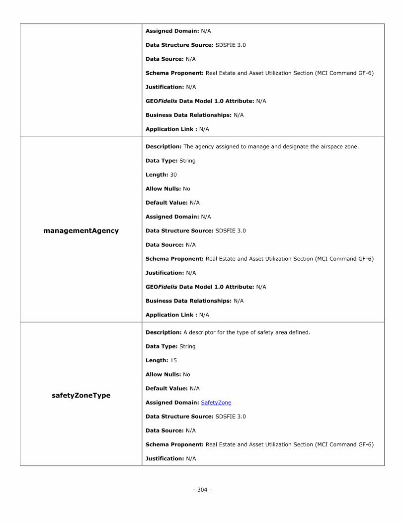
- 304 -
Assigned Domain: N/A
Data Structure Source: SDSFIE 3.0
Data Source: N/A
Schema Proponent: Real Estate and Asset Utilization Section (MCI Command GF-6)
Justification: N/A
GEOFidelis Data Model 1.0 Attribute: N/A
Business Data Relationships: N/A
Application Link : N/A
managementAgency
Description: The agency assigned to manage and designate the airspace zone.
Data Type: String
Length: 30
Allow Nulls: No
Default Value: N/A
Assigned Domain: N/A
Data Structure Source: SDSFIE 3.0
Data Source: N/A
Schema Proponent: Real Estate and Asset Utilization Section (MCI Command GF-6)
Justification: N/A
GEOFidelis Data Model 1.0 Attribute: N/A
Business Data Relationships: N/A
Application Link : N/A
safetyZoneType
Description: A descriptor for the type of safety area defined.
Data Type: String
Length: 15
Allow Nulls: No
Default Value: N/A
Assigned Domain: SafetyZone
Data Structure Source: SDSFIE 3.0
Data Source: N/A
Schema Proponent: Real Estate and Asset Utilization Section (MCI Command GF-6)
Justification: N/A
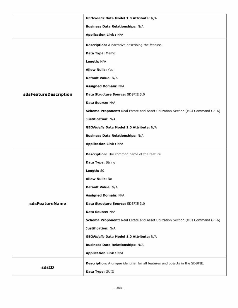
- 305 -
GEOFidelis Data Model 1.0 Attribute: N/A
Business Data Relationships: N/A
Application Link : N/A
sdsFeatureDescription
Description: A narrative describing the feature.
Data Type: Memo
Length: N/A
Allow Nulls: Yes
Default Value: N/A
Assigned Domain: N/A
Data Structure Source: SDSFIE 3.0
Data Source: N/A
Schema Proponent: Real Estate and Asset Utilization Section (MCI Command GF-6)
Justification: N/A
GEOFidelis Data Model 1.0 Attribute: N/A
Business Data Relationships: N/A
Application Link : N/A
sdsFeatureName
Description: The common name of the feature.
Data Type: String
Length: 80
Allow Nulls: No
Default Value: N/A
Assigned Domain: N/A
Data Structure Source: SDSFIE 3.0
Data Source: N/A
Schema Proponent: Real Estate and Asset Utilization Section (MCI Command GF-6)
Justification: N/A
GEOFidelis Data Model 1.0 Attribute: N/A
Business Data Relationships: N/A
Application Link : N/A
sdsID Description: A unique identifier for all features and objects in the SDSFIE.
Data Type: GUID
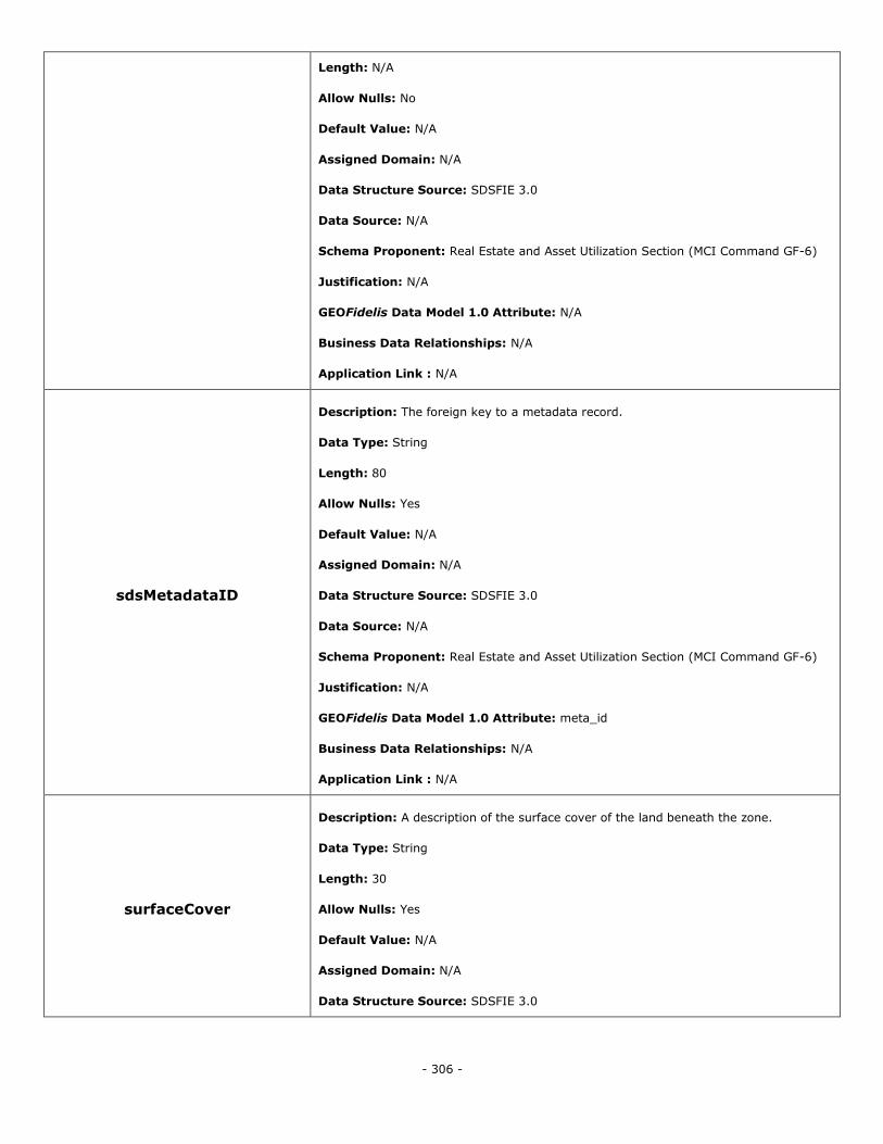
- 306 -
Length: N/A
Allow Nulls: No
Default Value: N/A
Assigned Domain: N/A
Data Structure Source: SDSFIE 3.0
Data Source: N/A
Schema Proponent: Real Estate and Asset Utilization Section (MCI Command GF-6)
Justification: N/A
GEOFidelis Data Model 1.0 Attribute: N/A
Business Data Relationships: N/A
Application Link : N/A
sdsMetadataID
Description: The foreign key to a metadata record.
Data Type: String
Length: 80
Allow Nulls: Yes
Default Value: N/A
Assigned Domain: N/A
Data Structure Source: SDSFIE 3.0
Data Source: N/A
Schema Proponent: Real Estate and Asset Utilization Section (MCI Command GF-6)
Justification: N/A
GEOFidelis Data Model 1.0 Attribute: meta_id
Business Data Relationships: N/A
Application Link : N/A
surfaceCover
Description: A description of the surface cover of the land beneath the zone.
Data Type: String
Length: 30
Allow Nulls: Yes
Default Value: N/A
Assigned Domain: N/A
Data Structure Source: SDSFIE 3.0
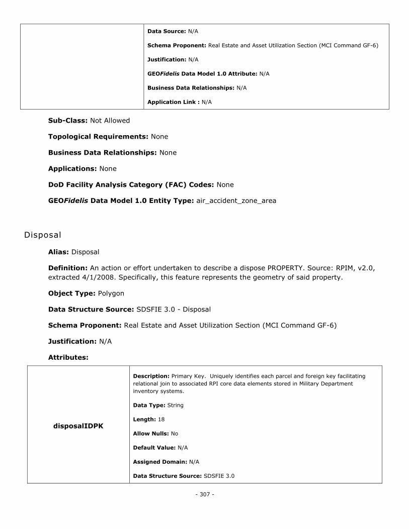
- 307 -
Data Source: N/A
Schema Proponent: Real Estate and Asset Utilization Section (MCI Command GF-6)
Justification: N/A
GEOFidelis Data Model 1.0 Attribute: N/A
Business Data Relationships: N/A
Application Link : N/A
Sub-Class: Not Allowed
Topological Requirements: None
Business Data Relationships: None
Applications: None
DoD Facility Analysis Category (FAC) Codes: None
GEOFidelis Data Model 1.0 Entity Type: air_accident_zone_area
Disposal
Alias: Disposal
Definition: An action or effort undertaken to describe a dispose PROPERTY. Source: RPIM, v2.0,
extracted 4/1/2008. Specifically, this feature represents the geometry of said property.
Object Type: Polygon
Data Structure Source: SDSFIE 3.0 - Disposal
Schema Proponent: Real Estate and Asset Utilization Section (MCI Command GF-6)
Justification: N/A
Attributes:
disposalIDPK
Description: Primary Key. Uniquely identifies each parcel and foreign key facilitating
relational join to associated RPI core data elements stored in Military Department
inventory systems.
Data Type: String
Length: 18
Allow Nulls: No
Default Value: N/A
Assigned Domain: N/A
Data Structure Source: SDSFIE 3.0
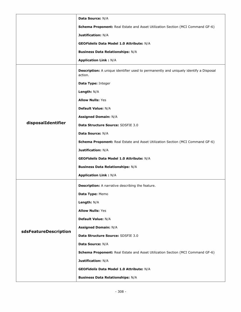
- 308 -
Data Source: N/A
Schema Proponent: Real Estate and Asset Utilization Section (MCI Command GF-6)
Justification: N/A
GEOFidelis Data Model 1.0 Attribute: N/A
Business Data Relationships: N/A
Application Link : N/A
disposalIdentifier
Description: A unique identifier used to permanently and uniquely identify a Disposal
action.
Data Type: Integer
Length: N/A
Allow Nulls: Yes
Default Value: N/A
Assigned Domain: N/A
Data Structure Source: SDSFIE 3.0
Data Source: N/A
Schema Proponent: Real Estate and Asset Utilization Section (MCI Command GF-6)
Justification: N/A
GEOFidelis Data Model 1.0 Attribute: N/A
Business Data Relationships: N/A
Application Link : N/A
sdsFeatureDescription
Description: A narrative describing the feature.
Data Type: Memo
Length: N/A
Allow Nulls: Yes
Default Value: N/A
Assigned Domain: N/A
Data Structure Source: SDSFIE 3.0
Data Source: N/A
Schema Proponent: Real Estate and Asset Utilization Section (MCI Command GF-6)
Justification: N/A
GEOFidelis Data Model 1.0 Attribute: N/A
Business Data Relationships: N/A
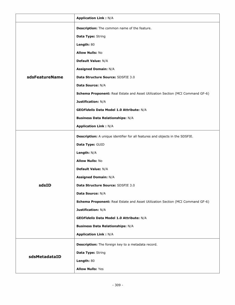
- 309 -
Application Link : N/A
sdsFeatureName
Description: The common name of the feature.
Data Type: String
Length: 80
Allow Nulls: No
Default Value: N/A
Assigned Domain: N/A
Data Structure Source: SDSFIE 3.0
Data Source: N/A
Schema Proponent: Real Estate and Asset Utilization Section (MCI Command GF-6)
Justification: N/A
GEOFidelis Data Model 1.0 Attribute: N/A
Business Data Relationships: N/A
Application Link : N/A
sdsID
Description: A unique identifier for all features and objects in the SDSFIE.
Data Type: GUID
Length: N/A
Allow Nulls: No
Default Value: N/A
Assigned Domain: N/A
Data Structure Source: SDSFIE 3.0
Data Source: N/A
Schema Proponent: Real Estate and Asset Utilization Section (MCI Command GF-6)
Justification: N/A
GEOFidelis Data Model 1.0 Attribute: N/A
Business Data Relationships: N/A
Application Link : N/A
sdsMetadataID
Description: The foreign key to a metadata record.
Data Type: String
Length: 80
Allow Nulls: Yes
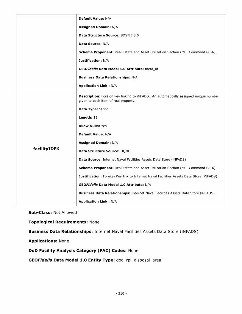
- 310 -
Default Value: N/A
Assigned Domain: N/A
Data Structure Source: SDSFIE 3.0
Data Source: N/A
Schema Proponent: Real Estate and Asset Utilization Section (MCI Command GF-6)
Justification: N/A
GEOFidelis Data Model 1.0 Attribute: meta_id
Business Data Relationships: N/A
Application Link : N/A
facilityIDFK
Description: Foreign key linking to iNFADS. An automatically assigned unique number
given to each item of real property.
Data Type: String
Length: 15
Allow Nulls: Yes
Default Value: N/A
Assigned Domain: N/A
Data Structure Source: HQMC
Data Source: Internet Naval Facilities Assets Data Store (iNFADS)
Schema Proponent: Real Estate and Asset Utilization Section (MCI Command GF-6)
Justification: Foreign Key link to Internet Naval Facilities Assets Data Store (iNFADS).
GEOFidelis Data Model 1.0 Attribute: N/A
Business Data Relationships: Internet Naval Facilities Assets Data Store (iNFADS)
Application Link : N/A
Sub-Class: Not Allowed
Topological Requirements: None
Business Data Relationships: Internet Naval Facilities Assets Data Store (iNFADS)
Applications: None
DoD Facility Analysis Category (FAC) Codes: None
GEOFidelis Data Model 1.0 Entity Type: dod_rpi_disposal_area
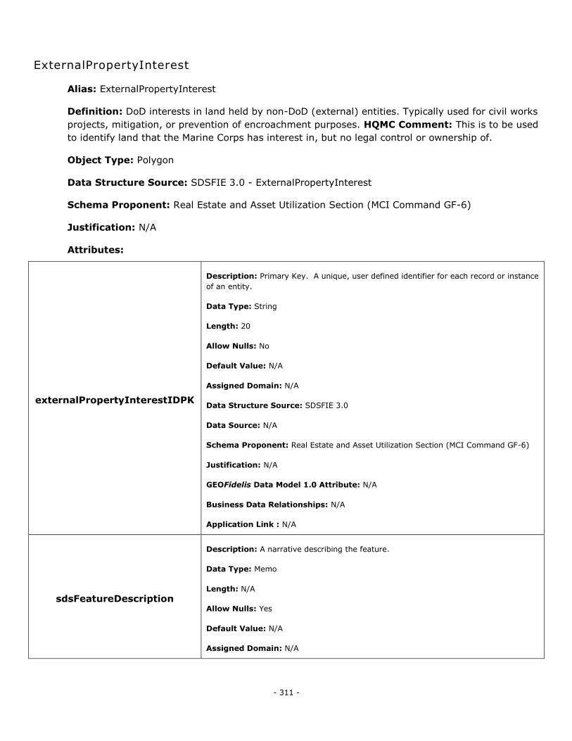
- 311 -
ExternalPropertyInterest
Alias: ExternalPropertyInterest
Definition: DoD interests in land held by non-DoD (external) entities. Typically used for civil works
projects, mitigation, or prevention of encroachment purposes. HQMC Comment: This is to be used
to identify land that the Marine Corps has interest in, but no legal control or ownership of.
Object Type: Polygon
Data Structure Source: SDSFIE 3.0 - ExternalPropertyInterest
Schema Proponent: Real Estate and Asset Utilization Section (MCI Command GF-6)
Justification: N/A
Attributes:
externalPropertyInterestIDPK
Description: Primary Key. A unique, user defined identifier for each record or instance
of an entity.
Data Type: String
Length: 20
Allow Nulls: No
Default Value: N/A
Assigned Domain: N/A
Data Structure Source: SDSFIE 3.0
Data Source: N/A
Schema Proponent: Real Estate and Asset Utilization Section (MCI Command GF-6)
Justification: N/A
GEOFidelis Data Model 1.0 Attribute: N/A
Business Data Relationships: N/A
Application Link : N/A
sdsFeatureDescription
Description: A narrative describing the feature.
Data Type: Memo
Length: N/A
Allow Nulls: Yes
Default Value: N/A
Assigned Domain: N/A
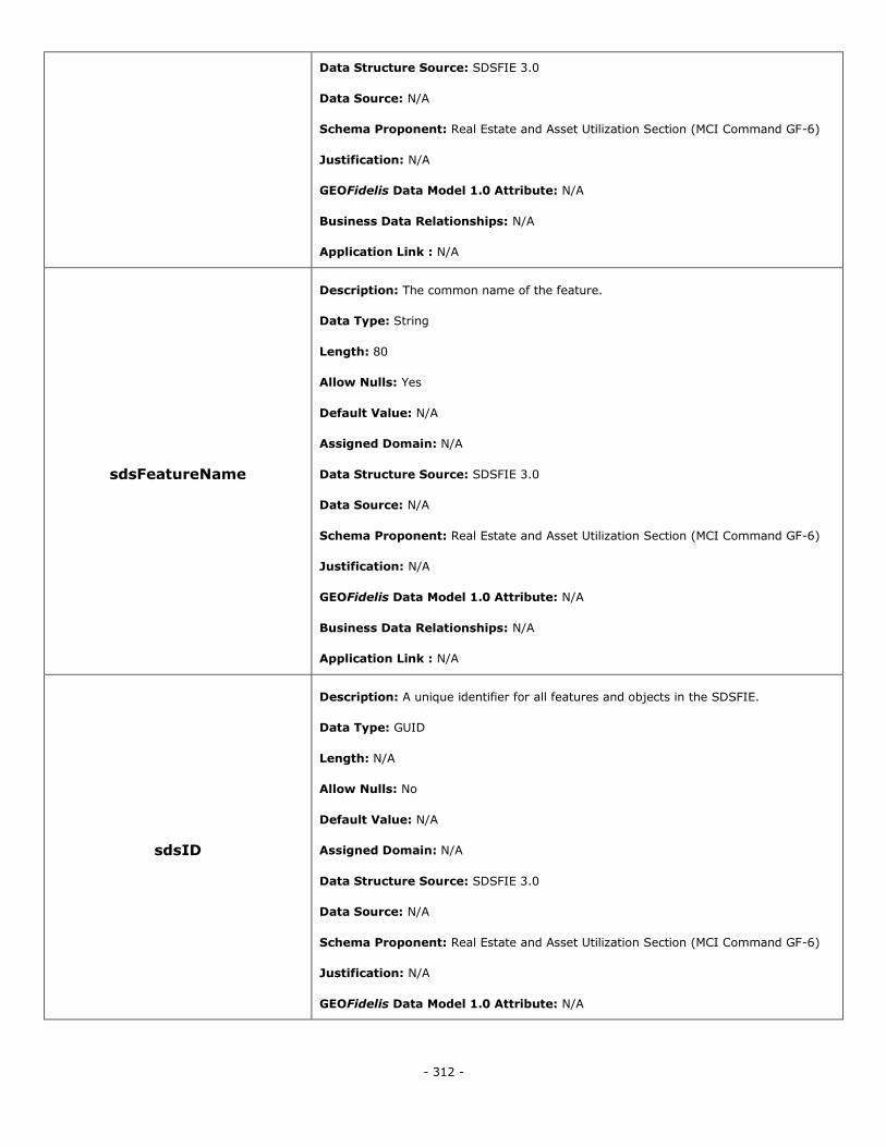
- 312 -
Data Structure Source: SDSFIE 3.0
Data Source: N/A
Schema Proponent: Real Estate and Asset Utilization Section (MCI Command GF-6)
Justification: N/A
GEOFidelis Data Model 1.0 Attribute: N/A
Business Data Relationships: N/A
Application Link : N/A
sdsFeatureName
Description: The common name of the feature.
Data Type: String
Length: 80
Allow Nulls: Yes
Default Value: N/A
Assigned Domain: N/A
Data Structure Source: SDSFIE 3.0
Data Source: N/A
Schema Proponent: Real Estate and Asset Utilization Section (MCI Command GF-6)
Justification: N/A
GEOFidelis Data Model 1.0 Attribute: N/A
Business Data Relationships: N/A
Application Link : N/A
sdsID
Description: A unique identifier for all features and objects in the SDSFIE.
Data Type: GUID
Length: N/A
Allow Nulls: No
Default Value: N/A
Assigned Domain: N/A
Data Structure Source: SDSFIE 3.0
Data Source: N/A
Schema Proponent: Real Estate and Asset Utilization Section (MCI Command GF-6)
Justification: N/A
GEOFidelis Data Model 1.0 Attribute: N/A
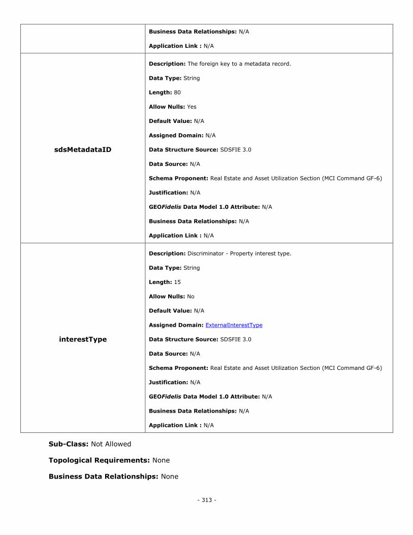
- 313 -
Business Data Relationships: N/A
Application Link : N/A
sdsMetadataID
Description: The foreign key to a metadata record.
Data Type: String
Length: 80
Allow Nulls: Yes
Default Value: N/A
Assigned Domain: N/A
Data Structure Source: SDSFIE 3.0
Data Source: N/A
Schema Proponent: Real Estate and Asset Utilization Section (MCI Command GF-6)
Justification: N/A
GEOFidelis Data Model 1.0 Attribute: N/A
Business Data Relationships: N/A
Application Link : N/A
interestType
Description: Discriminator - Property interest type.
Data Type: String
Length: 15
Allow Nulls: No
Default Value: N/A
Assigned Domain: ExternalInterestType
Data Structure Source: SDSFIE 3.0
Data Source: N/A
Schema Proponent: Real Estate and Asset Utilization Section (MCI Command GF-6)
Justification: N/A
GEOFidelis Data Model 1.0 Attribute: N/A
Business Data Relationships: N/A
Application Link : N/A
Sub-Class: Not Allowed
Topological Requirements: None
Business Data Relationships: None
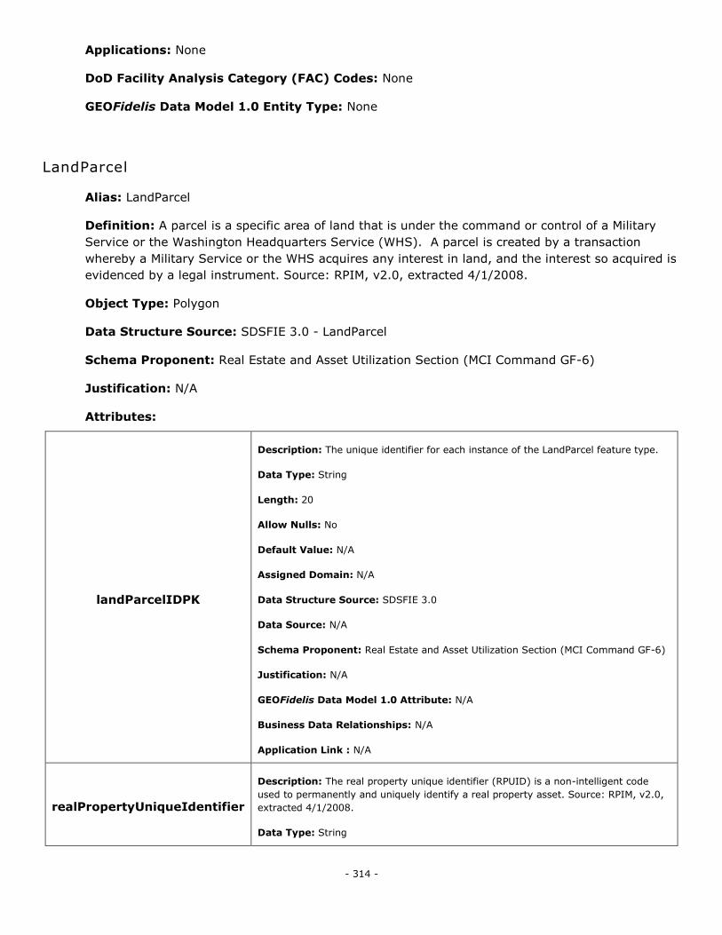
- 314 -
Applications: None
DoD Facility Analysis Category (FAC) Codes: None
GEOFidelis Data Model 1.0 Entity Type: None
LandParcel
Alias: LandParcel
Definition: A parcel is a specific area of land that is under the command or control of a Military
Service or the Washington Headquarters Service (WHS). A parcel is created by a transaction
whereby a Military Service or the WHS acquires any interest in land, and the interest so acquired is
evidenced by a legal instrument. Source: RPIM, v2.0, extracted 4/1/2008.
Object Type: Polygon
Data Structure Source: SDSFIE 3.0 - LandParcel
Schema Proponent: Real Estate and Asset Utilization Section (MCI Command GF-6)
Justification: N/A
Attributes:
landParcelIDPK
Description: The unique identifier for each instance of the LandParcel feature type.
Data Type: String
Length: 20
Allow Nulls: No
Default Value: N/A
Assigned Domain: N/A
Data Structure Source: SDSFIE 3.0
Data Source: N/A
Schema Proponent: Real Estate and Asset Utilization Section (MCI Command GF-6)
Justification: N/A
GEOFidelis Data Model 1.0 Attribute: N/A
Business Data Relationships: N/A
Application Link : N/A
realPropertyUniqueIdentifier
Description: The real property unique identifier (RPUID) is a non-intelligent code
used to permanently and uniquely identify a real property asset. Source: RPIM, v2.0,
extracted 4/1/2008.
Data Type: String
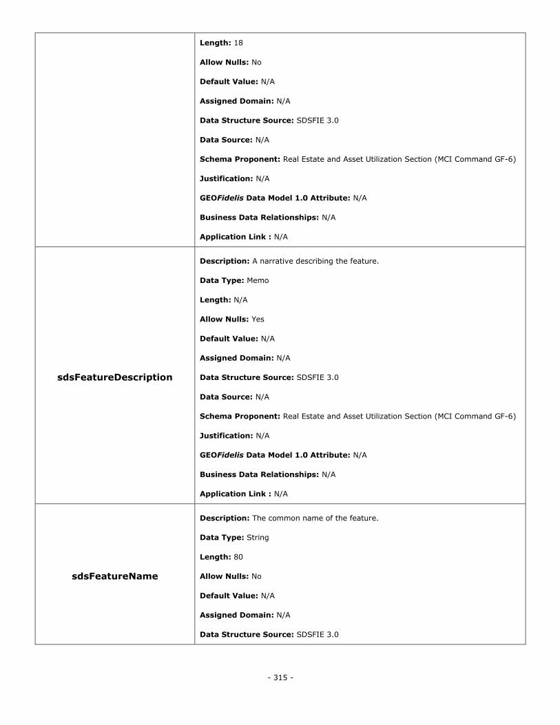
- 315 -
Length: 18
Allow Nulls: No
Default Value: N/A
Assigned Domain: N/A
Data Structure Source: SDSFIE 3.0
Data Source: N/A
Schema Proponent: Real Estate and Asset Utilization Section (MCI Command GF-6)
Justification: N/A
GEOFidelis Data Model 1.0 Attribute: N/A
Business Data Relationships: N/A
Application Link : N/A
sdsFeatureDescription
Description: A narrative describing the feature.
Data Type: Memo
Length: N/A
Allow Nulls: Yes
Default Value: N/A
Assigned Domain: N/A
Data Structure Source: SDSFIE 3.0
Data Source: N/A
Schema Proponent: Real Estate and Asset Utilization Section (MCI Command GF-6)
Justification: N/A
GEOFidelis Data Model 1.0 Attribute: N/A
Business Data Relationships: N/A
Application Link : N/A
sdsFeatureName
Description: The common name of the feature.
Data Type: String
Length: 80
Allow Nulls: No
Default Value: N/A
Assigned Domain: N/A
Data Structure Source: SDSFIE 3.0
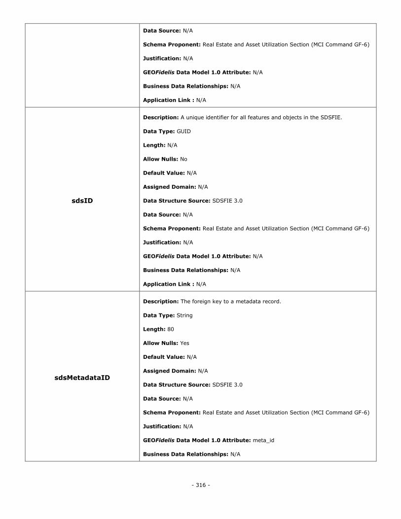
- 316 -
Data Source: N/A
Schema Proponent: Real Estate and Asset Utilization Section (MCI Command GF-6)
Justification: N/A
GEOFidelis Data Model 1.0 Attribute: N/A
Business Data Relationships: N/A
Application Link : N/A
sdsID
Description: A unique identifier for all features and objects in the SDSFIE.
Data Type: GUID
Length: N/A
Allow Nulls: No
Default Value: N/A
Assigned Domain: N/A
Data Structure Source: SDSFIE 3.0
Data Source: N/A
Schema Proponent: Real Estate and Asset Utilization Section (MCI Command GF-6)
Justification: N/A
GEOFidelis Data Model 1.0 Attribute: N/A
Business Data Relationships: N/A
Application Link : N/A
sdsMetadataID
Description: The foreign key to a metadata record.
Data Type: String
Length: 80
Allow Nulls: Yes
Default Value: N/A
Assigned Domain: N/A
Data Structure Source: SDSFIE 3.0
Data Source: N/A
Schema Proponent: Real Estate and Asset Utilization Section (MCI Command GF-6)
Justification: N/A
GEOFidelis Data Model 1.0 Attribute: meta_id
Business Data Relationships: N/A
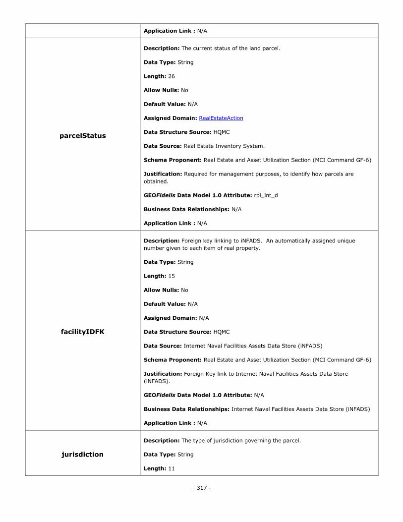
- 317 -
Application Link : N/A
parcelStatus
Description: The current status of the land parcel.
Data Type: String
Length: 26
Allow Nulls: No
Default Value: N/A
Assigned Domain: RealEstateAction
Data Structure Source: HQMC
Data Source: Real Estate Inventory System.
Schema Proponent: Real Estate and Asset Utilization Section (MCI Command GF-6)
Justification: Required for management purposes, to identify how parcels are
obtained.
GEOFidelis Data Model 1.0 Attribute: rpi_int_d
Business Data Relationships: N/A
Application Link : N/A
facilityIDFK
Description: Foreign key linking to iNFADS. An automatically assigned unique
number given to each item of real property.
Data Type: String
Length: 15
Allow Nulls: No
Default Value: N/A
Assigned Domain: N/A
Data Structure Source: HQMC
Data Source: Internet Naval Facilities Assets Data Store (iNFADS)
Schema Proponent: Real Estate and Asset Utilization Section (MCI Command GF-6)
Justification: Foreign Key link to Internet Naval Facilities Assets Data Store
(iNFADS).
GEOFidelis Data Model 1.0 Attribute: N/A
Business Data Relationships: Internet Naval Facilities Assets Data Store (iNFADS)
Application Link : N/A
jurisdiction
Description: The type of jurisdiction governing the parcel.
Data Type: String
Length: 11
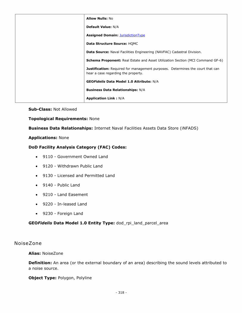
- 318 -
Allow Nulls: No
Default Value: N/A
Assigned Domain: JurisdictionType
Data Structure Source: HQMC
Data Source: Naval Facilities Engineering (NAVFAC) Cadastral Division.
Schema Proponent: Real Estate and Asset Utilization Section (MCI Command GF-6)
Justification: Required for management purposes. Determines the court that can
hear a case regarding the property.
GEOFidelis Data Model 1.0 Attribute: N/A
Business Data Relationships: N/A
Application Link : N/A
Sub-Class: Not Allowed
Topological Requirements: None
Business Data Relationships: Internet Naval Facilities Assets Data Store (iNFADS)
Applications: None
DoD Facility Analysis Category (FAC) Codes:
9110 - Government Owned Land
9120 - Withdrawn Public Land
9130 - Licensed and Permitted Land
9140 - Public Land
9210 - Land Easement
9220 - In-leased Land
9230 - Foreign Land
GEOFidelis Data Model 1.0 Entity Type: dod_rpi_land_parcel_area
NoiseZone
Alias: NoiseZone
Definition: An area (or the external boundary of an area) describing the sound levels attributed to
a noise source.
Object Type: Polygon, Polyline
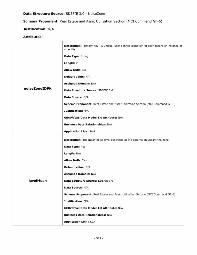
- 319 -
Data Structure Source: SDSFIE 3.0 - NoiseZone
Schema Proponent: Real Estate and Asset Utilization Section (MCI Command GF-6)
Justification: N/A
Attributes:
noiseZoneIDPK
Description: Primary Key. A unique, user defined identifier for each record or instance of
an entity.
Data Type: String
Length: 20
Allow Nulls: No
Default Value: N/A
Assigned Domain: N/A
Data Structure Source: SDSFIE 3.0
Data Source: N/A
Schema Proponent: Real Estate and Asset Utilization Section (MCI Command GF-6)
Justification: N/A
GEOFidelis Data Model 1.0 Attribute: N/A
Business Data Relationships: N/A
Application Link : N/A
levelMean
Description: The mean noise level described at the external boundary the zone.
Data Type: Real
Length: N/A
Allow Nulls: Yes
Default Value: N/A
Assigned Domain: N/A
Data Structure Source: SDSFIE 3.0
Data Source: N/A
Schema Proponent: Real Estate and Asset Utilization Section (MCI Command GF-6)
Justification: N/A
GEOFidelis Data Model 1.0 Attribute: N/A
Business Data Relationships: N/A
Application Link : N/A
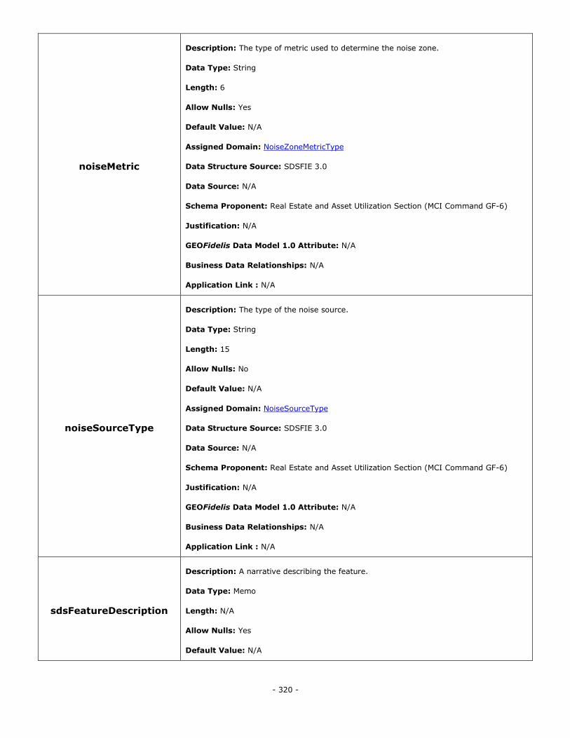
- 320 -
noiseMetric
Description: The type of metric used to determine the noise zone.
Data Type: String
Length: 6
Allow Nulls: Yes
Default Value: N/A
Assigned Domain: NoiseZoneMetricType
Data Structure Source: SDSFIE 3.0
Data Source: N/A
Schema Proponent: Real Estate and Asset Utilization Section (MCI Command GF-6)
Justification: N/A
GEOFidelis Data Model 1.0 Attribute: N/A
Business Data Relationships: N/A
Application Link : N/A
noiseSourceType
Description: The type of the noise source.
Data Type: String
Length: 15
Allow Nulls: No
Default Value: N/A
Assigned Domain: NoiseSourceType
Data Structure Source: SDSFIE 3.0
Data Source: N/A
Schema Proponent: Real Estate and Asset Utilization Section (MCI Command GF-6)
Justification: N/A
GEOFidelis Data Model 1.0 Attribute: N/A
Business Data Relationships: N/A
Application Link : N/A
sdsFeatureDescription
Description: A narrative describing the feature.
Data Type: Memo
Length: N/A
Allow Nulls: Yes
Default Value: N/A
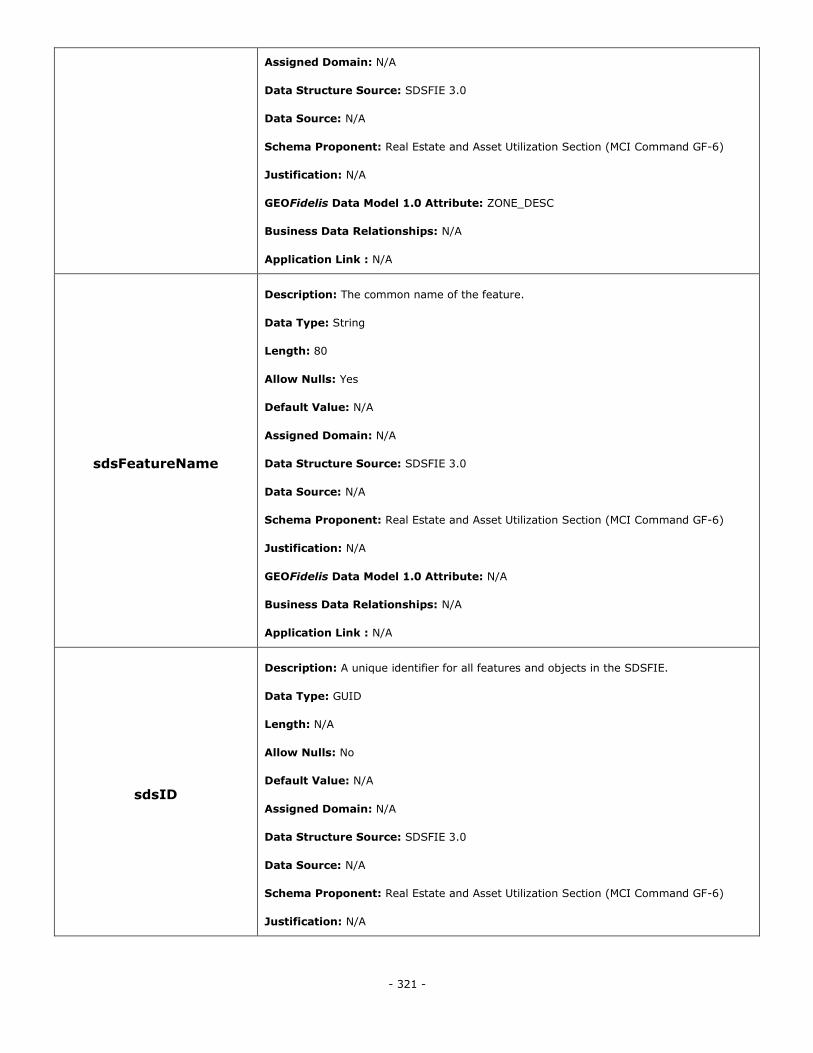
- 321 -
Assigned Domain: N/A
Data Structure Source: SDSFIE 3.0
Data Source: N/A
Schema Proponent: Real Estate and Asset Utilization Section (MCI Command GF-6)
Justification: N/A
GEOFidelis Data Model 1.0 Attribute: ZONE_DESC
Business Data Relationships: N/A
Application Link : N/A
sdsFeatureName
Description: The common name of the feature.
Data Type: String
Length: 80
Allow Nulls: Yes
Default Value: N/A
Assigned Domain: N/A
Data Structure Source: SDSFIE 3.0
Data Source: N/A
Schema Proponent: Real Estate and Asset Utilization Section (MCI Command GF-6)
Justification: N/A
GEOFidelis Data Model 1.0 Attribute: N/A
Business Data Relationships: N/A
Application Link : N/A
sdsID
Description: A unique identifier for all features and objects in the SDSFIE.
Data Type: GUID
Length: N/A
Allow Nulls: No
Default Value: N/A
Assigned Domain: N/A
Data Structure Source: SDSFIE 3.0
Data Source: N/A
Schema Proponent: Real Estate and Asset Utilization Section (MCI Command GF-6)
Justification: N/A
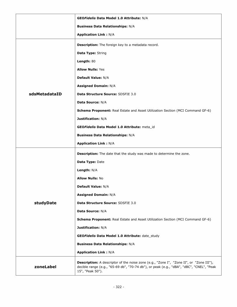
- 322 -
GEOFidelis Data Model 1.0 Attribute: N/A
Business Data Relationships: N/A
Application Link : N/A
sdsMetadataID
Description: The foreign key to a metadata record.
Data Type: String
Length: 80
Allow Nulls: Yes
Default Value: N/A
Assigned Domain: N/A
Data Structure Source: SDSFIE 3.0
Data Source: N/A
Schema Proponent: Real Estate and Asset Utilization Section (MCI Command GF-6)
Justification: N/A
GEOFidelis Data Model 1.0 Attribute: meta_id
Business Data Relationships: N/A
Application Link : N/A
studyDate
Description: The date that the study was made to determine the zone.
Data Type: Date
Length: N/A
Allow Nulls: No
Default Value: N/A
Assigned Domain: N/A
Data Structure Source: SDSFIE 3.0
Data Source: N/A
Schema Proponent: Real Estate and Asset Utilization Section (MCI Command GF-6)
Justification: N/A
GEOFidelis Data Model 1.0 Attribute: date_study
Business Data Relationships: N/A
Application Link : N/A
zoneLabel Description: A descriptor of the noise zone (e.g., "Zone I", "Zone II", or "Zone III"),
decible range (e.g., "65-69 db", "70-74 db"), or peak (e.g., "dBA", "dBC", "CNEL", "Peak
15", "Peak 50").
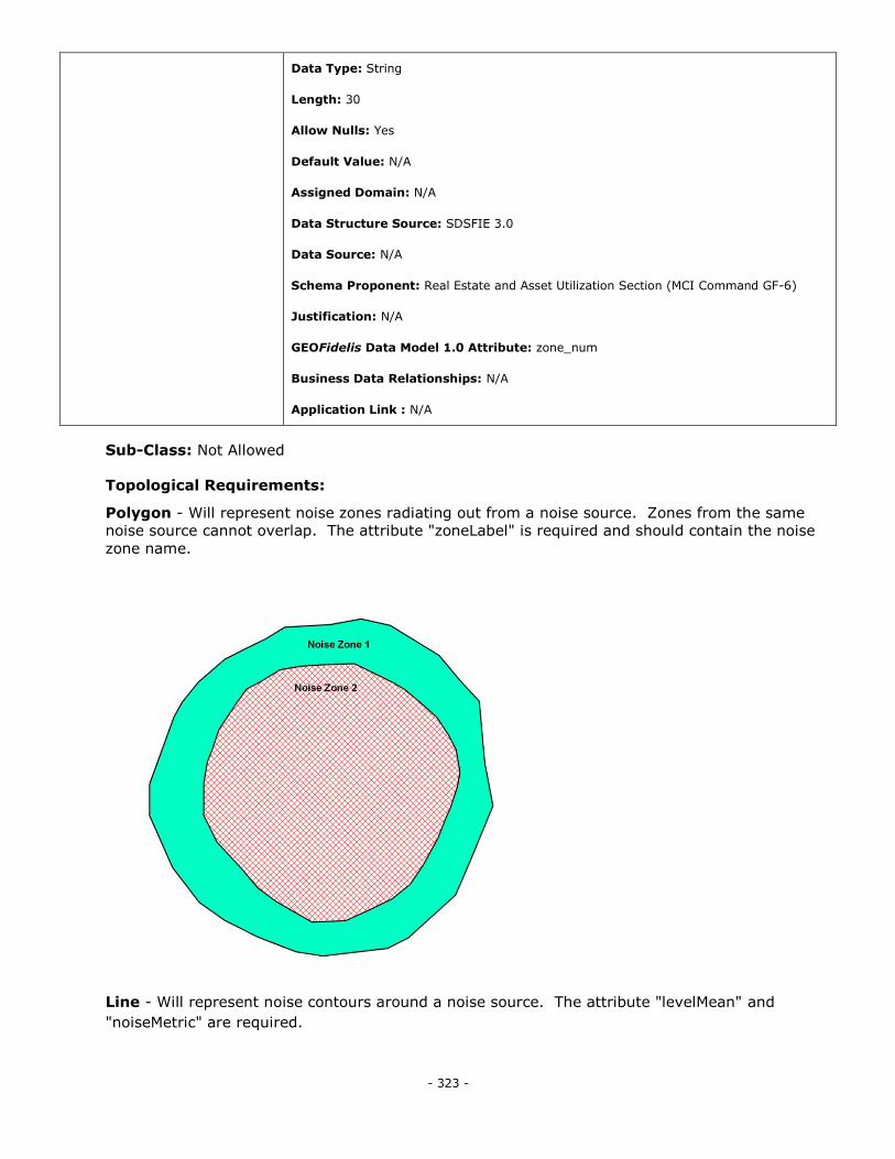
- 323 -
Data Type: String
Length: 30
Allow Nulls: Yes
Default Value: N/A
Assigned Domain: N/A
Data Structure Source: SDSFIE 3.0
Data Source: N/A
Schema Proponent: Real Estate and Asset Utilization Section (MCI Command GF-6)
Justification: N/A
GEOFidelis Data Model 1.0 Attribute: zone_num
Business Data Relationships: N/A
Application Link : N/A
Sub-Class: Not Allowed
Topological Requirements:
Polygon - Will represent noise zones radiating out from a noise source. Zones from the same
noise source cannot overlap. The attribute "zoneLabel" is required and should contain the noise
zone name.
Line - Will represent noise contours around a noise source. The attribute "levelMean" and
"noiseMetric" are required.
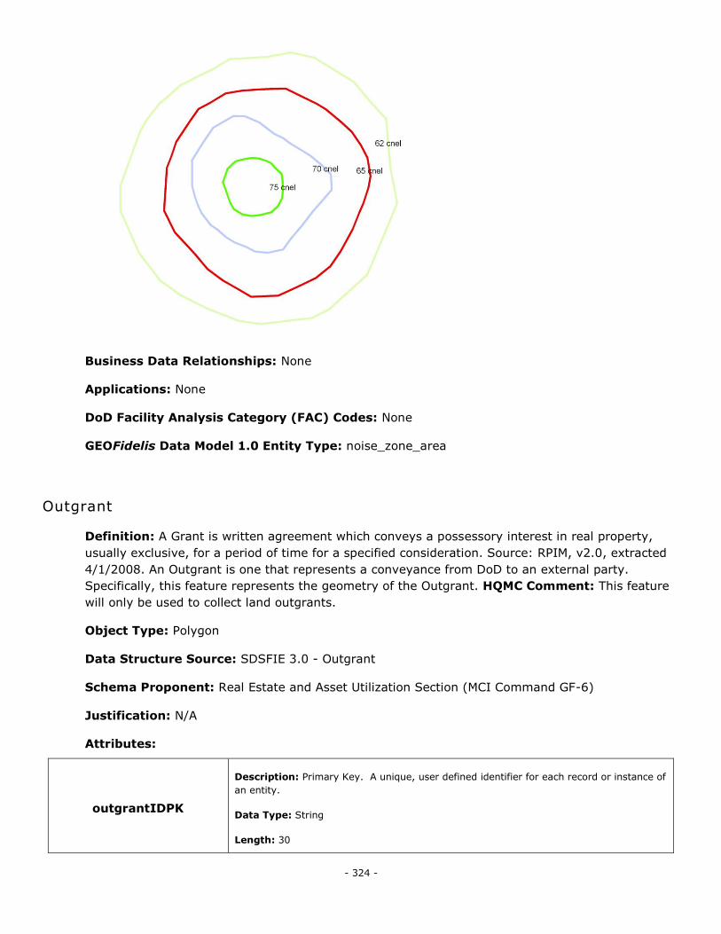
- 324 -
Business Data Relationships: None
Applications: None
DoD Facility Analysis Category (FAC) Codes: None
GEOFidelis Data Model 1.0 Entity Type: noise_zone_area
Outgrant
Definition: A Grant is written agreement which conveys a possessory interest in real property,
usually exclusive, for a period of time for a specified consideration. Source: RPIM, v2.0, extracted
4/1/2008. An Outgrant is one that represents a conveyance from DoD to an external party.
Specifically, this feature represents the geometry of the Outgrant. HQMC Comment: This feature
will only be used to collect land outgrants.
Object Type: Polygon
Data Structure Source: SDSFIE 3.0 - Outgrant
Schema Proponent: Real Estate and Asset Utilization Section (MCI Command GF-6)
Justification: N/A
Attributes:
outgrantIDPK
Description: Primary Key. A unique, user defined identifier for each record or instance of
an entity.
Data Type: String
Length: 30
- 325 -
Allow Nulls: No
Default Value: N/A
Assigned Domain: N/A
Data Structure Source: SDSFIE 3.0
Data Source: N/A
Schema Proponent: Real Estate and Asset Utilization Section (MCI Command GF-6)
Justification: N/A
GEOFidelis Data Model 1.0 Attribute: N/A
Business Data Relationships: N/A
Application Link : N/A
outgrantIdentifier
Description: A unique identifier used to permanently and uniquely identify an outgrant
agreement.
Data Type: Integer
Length: N/A
Allow Nulls: Yes
Default Value: N/A
Assigned Domain: N/A
Data Structure Source: SDSFIE 3.0
Data Source: N/A
Schema Proponent: Real Estate and Asset Utilization Section (MCI Command GF-6)
Justification: N/A
GEOFidelis Data Model 1.0 Attribute: N/A
Business Data Relationships: N/A
Application Link : N/A
sdsFeatureDescription
Description: A narrative describing the feature.
Data Type: Memo
Length: N/A
Allow Nulls: Yes
Default Value: N/A
Assigned Domain: N/A
Data Structure Source: SDSFIE 3.0
Data Source: N/A
- 326 -
Schema Proponent: Real Estate and Asset Utilization Section (MCI Command GF-6)
Justification: N/A
GEOFidelis Data Model 1.0 Attribute: narrative
Business Data Relationships: N/A
Application Link : N/A
sdsFeatureName
Description: The common name of the feature.
Data Type: String
Length: 80
Allow Nulls: No
Default Value: N/A
Assigned Domain: N/A
Data Structure Source: SDSFIE 3.0
Data Source: N/A
Schema Proponent: Real Estate and Asset Utilization Section (MCI Command GF-6)
Justification: N/A
GEOFidelis Data Model 1.0 Attribute: N/A
Business Data Relationships: N/A
Application Link : N/A
sdsID
Description: A unique identifier for all features and objects in the SDSFIE.
Data Type: GUID
Length: N/A
Allow Nulls: No
Default Value: N/A
Assigned Domain: N/A
Data Structure Source: SDSFIE 3.0
Data Source: N/A
Schema Proponent: Real Estate and Asset Utilization Section (MCI Command GF-6)
Justification: N/A
GEOFidelis Data Model 1.0 Attribute: N/A
Business Data Relationships: N/A
Application Link : N/A
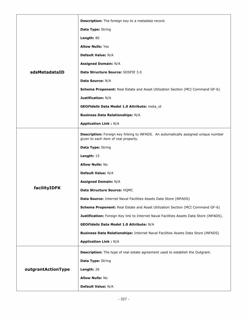
- 327 -
sdsMetadataID
Description: The foreign key to a metadata record.
Data Type: String
Length: 80
Allow Nulls: Yes
Default Value: N/A
Assigned Domain: N/A
Data Structure Source: SDSFIE 3.0
Data Source: N/A
Schema Proponent: Real Estate and Asset Utilization Section (MCI Command GF-6)
Justification: N/A
GEOFidelis Data Model 1.0 Attribute: meta_id
Business Data Relationships: N/A
Application Link : N/A
facilityIDFK
Description: Foreign key linking to iNFADS. An automatically assigned unique number
given to each item of real property.
Data Type: String
Length: 15
Allow Nulls: No
Default Value: N/A
Assigned Domain: N/A
Data Structure Source: HQMC
Data Source: Internet Naval Facilities Assets Data Store (iNFADS)
Schema Proponent: Real Estate and Asset Utilization Section (MCI Command GF-6)
Justification: Foreign Key link to Internet Naval Facilities Assets Data Store (iNFADS).
GEOFidelis Data Model 1.0 Attribute: N/A
Business Data Relationships: Internet Naval Facilities Assets Data Store (iNFADS)
Application Link : N/A
outgrantActionType
Description: The type of real estate agreement used to establish the Outgrant.
Data Type: String
Length: 26
Allow Nulls: No
Default Value: N/A
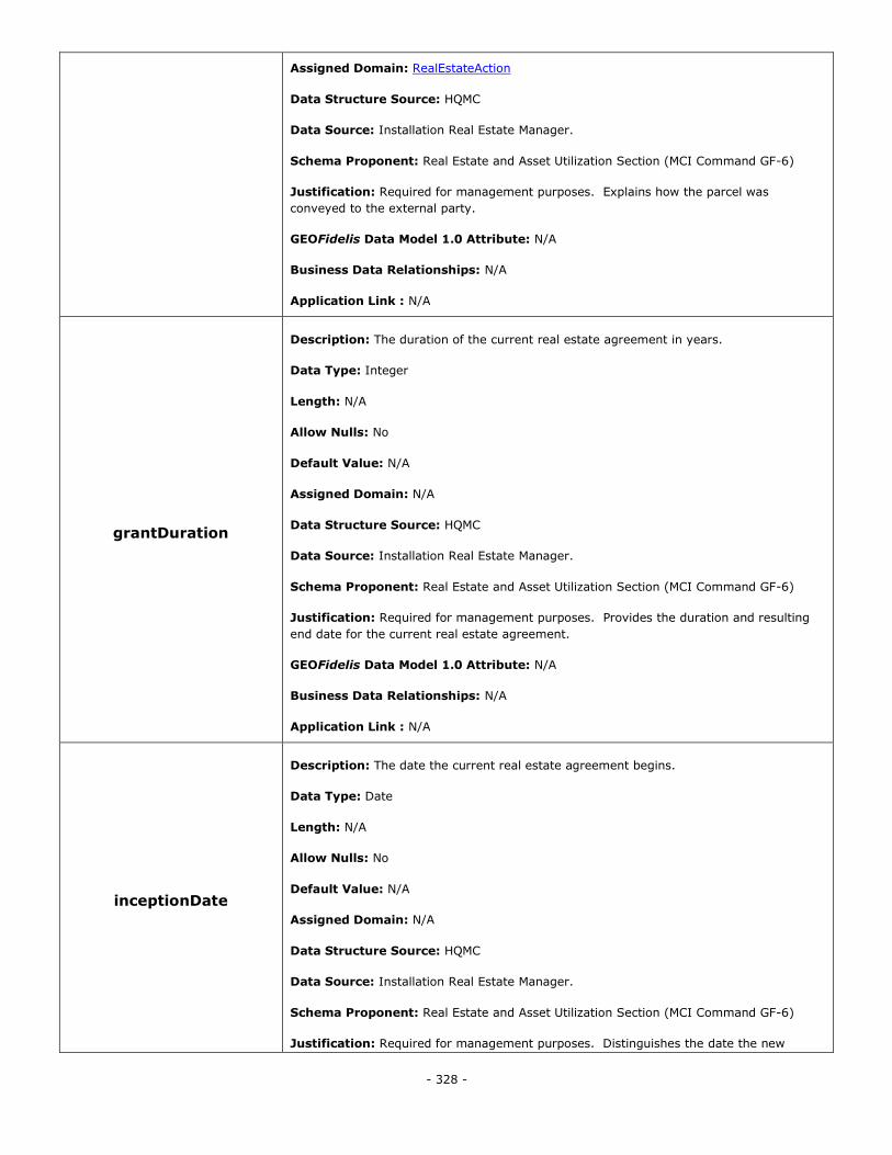
- 328 -
Assigned Domain: RealEstateAction
Data Structure Source: HQMC
Data Source: Installation Real Estate Manager.
Schema Proponent: Real Estate and Asset Utilization Section (MCI Command GF-6)
Justification: Required for management purposes. Explains how the parcel was
conveyed to the external party.
GEOFidelis Data Model 1.0 Attribute: N/A
Business Data Relationships: N/A
Application Link : N/A
grantDuration
Description: The duration of the current real estate agreement in years.
Data Type: Integer
Length: N/A
Allow Nulls: No
Default Value: N/A
Assigned Domain: N/A
Data Structure Source: HQMC
Data Source: Installation Real Estate Manager.
Schema Proponent: Real Estate and Asset Utilization Section (MCI Command GF-6)
Justification: Required for management purposes. Provides the duration and resulting
end date for the current real estate agreement.
GEOFidelis Data Model 1.0 Attribute: N/A
Business Data Relationships: N/A
Application Link : N/A
inceptionDate
Description: The date the current real estate agreement begins.
Data Type: Date
Length: N/A
Allow Nulls: No
Default Value: N/A
Assigned Domain: N/A
Data Structure Source: HQMC
Data Source: Installation Real Estate Manager.
Schema Proponent: Real Estate and Asset Utilization Section (MCI Command GF-6)
Justification: Required for management purposes. Distinguishes the date the new
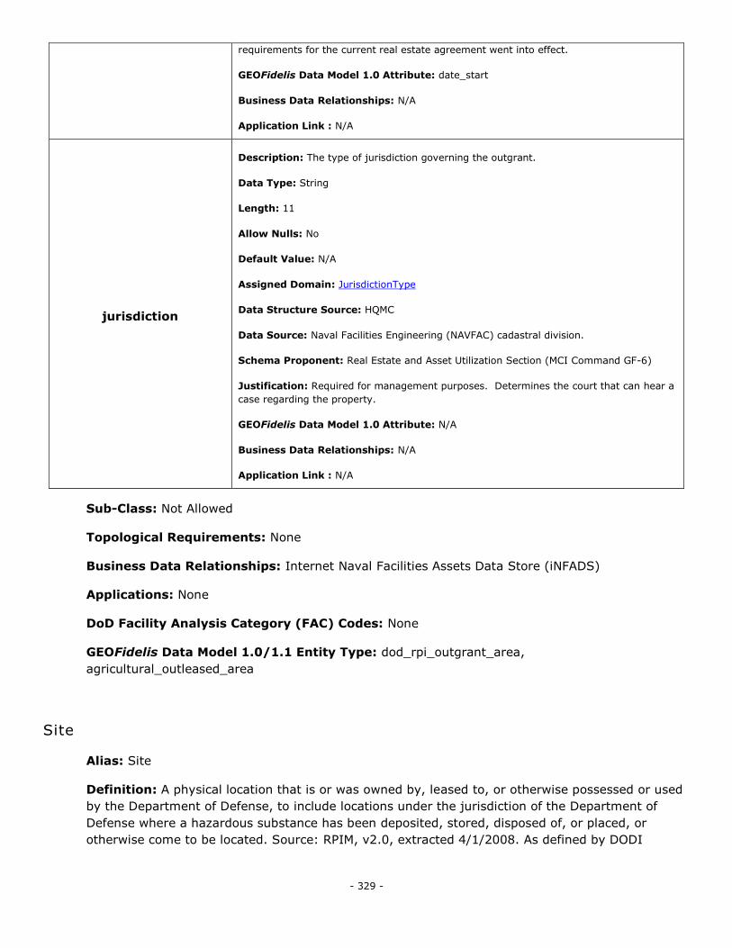
- 329 -
requirements for the current real estate agreement went into effect.
GEOFidelis Data Model 1.0 Attribute: date_start
Business Data Relationships: N/A
Application Link : N/A
jurisdiction
Description: The type of jurisdiction governing the outgrant.
Data Type: String
Length: 11
Allow Nulls: No
Default Value: N/A
Assigned Domain: JurisdictionType
Data Structure Source: HQMC
Data Source: Naval Facilities Engineering (NAVFAC) cadastral division.
Schema Proponent: Real Estate and Asset Utilization Section (MCI Command GF-6)
Justification: Required for management purposes. Determines the court that can hear a
case regarding the property.
GEOFidelis Data Model 1.0 Attribute: N/A
Business Data Relationships: N/A
Application Link : N/A
Sub-Class: Not Allowed
Topological Requirements: None
Business Data Relationships: Internet Naval Facilities Assets Data Store (iNFADS)
Applications: None
DoD Facility Analysis Category (FAC) Codes: None
GEOFidelis Data Model 1.0/1.1 Entity Type: dod_rpi_outgrant_area,
agricultural_outleased_area
Site
Alias: Site
Definition: A physical location that is or was owned by, leased to, or otherwise possessed or used
by the Department of Defense, to include locations under the jurisdiction of the Department of
Defense where a hazardous substance has been deposited, stored, disposed of, or placed, or
otherwise come to be located. Source: RPIM, v2.0, extracted 4/1/2008. As defined by DODI
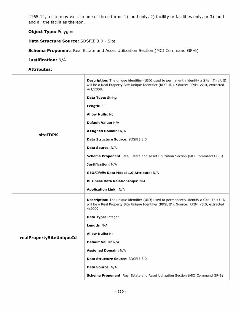
- 330 -
4165.14, a site may exist in one of three forms 1) land only, 2) facility or facilities only, or 3) land
and all the facilities thereon.
Object Type: Polygon
Data Structure Source: SDSFIE 3.0 - Site
Schema Proponent: Real Estate and Asset Utilization Section (MCI Command GF-6)
Justification: N/A
Attributes:
siteIDPK
Description: The unique identifier (UID) used to permanently identify a Site. This UID
will be a Real Property Site Unique Identifier (RPSUID). Source: RPIM, v2.0, extracted
4/1/2008.
Data Type: String
Length: 30
Allow Nulls: No
Default Value: N/A
Assigned Domain: N/A
Data Structure Source: SDSFIE 3.0
Data Source: N/A
Schema Proponent: Real Estate and Asset Utilization Section (MCI Command GF-6)
Justification: N/A
GEOFidelis Data Model 1.0 Attribute: N/A
Business Data Relationships: N/A
Application Link : N/A
realPropertySiteUniqueId
Description: The unique identifier (UID) used to permanently identify a Site. This UID
will be a Real Property Site Unique Identifier (RPSUID). Source: RPIM, v3.0, extracted
4/2009.
Data Type: Integer
Length: N/A
Allow Nulls: No
Default Value: N/A
Assigned Domain: N/A
Data Structure Source: SDSFIE 3.0
Data Source: N/A
Schema Proponent: Real Estate and Asset Utilization Section (MCI Command GF-6)
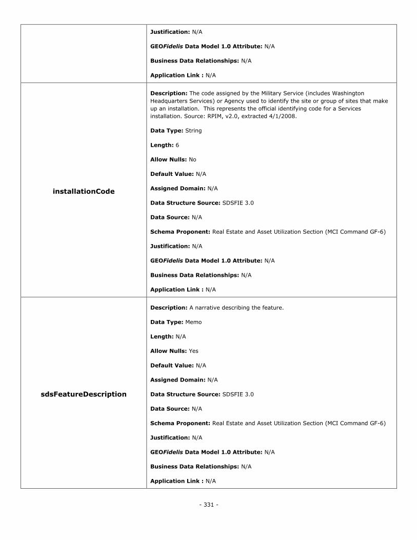
- 331 -
Justification: N/A
GEOFidelis Data Model 1.0 Attribute: N/A
Business Data Relationships: N/A
Application Link : N/A
installationCode
Description: The code assigned by the Military Service (includes Washington
Headquarters Services) or Agency used to identify the site or group of sites that make
up an installation. This represents the official identifying code for a Services
installation. Source: RPIM, v2.0, extracted 4/1/2008.
Data Type: String
Length: 6
Allow Nulls: No
Default Value: N/A
Assigned Domain: N/A
Data Structure Source: SDSFIE 3.0
Data Source: N/A
Schema Proponent: Real Estate and Asset Utilization Section (MCI Command GF-6)
Justification: N/A
GEOFidelis Data Model 1.0 Attribute: N/A
Business Data Relationships: N/A
Application Link : N/A
sdsFeatureDescription
Description: A narrative describing the feature.
Data Type: Memo
Length: N/A
Allow Nulls: Yes
Default Value: N/A
Assigned Domain: N/A
Data Structure Source: SDSFIE 3.0
Data Source: N/A
Schema Proponent: Real Estate and Asset Utilization Section (MCI Command GF-6)
Justification: N/A
GEOFidelis Data Model 1.0 Attribute: N/A
Business Data Relationships: N/A
Application Link : N/A
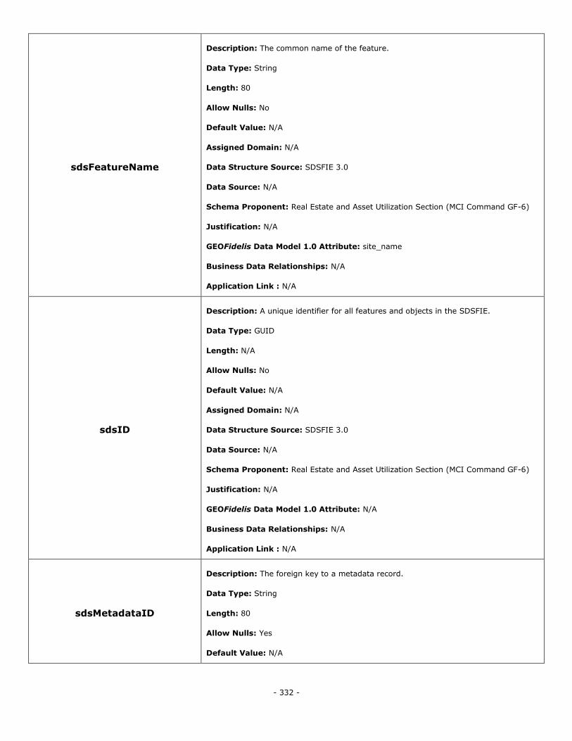
- 332 -
sdsFeatureName
Description: The common name of the feature.
Data Type: String
Length: 80
Allow Nulls: No
Default Value: N/A
Assigned Domain: N/A
Data Structure Source: SDSFIE 3.0
Data Source: N/A
Schema Proponent: Real Estate and Asset Utilization Section (MCI Command GF-6)
Justification: N/A
GEOFidelis Data Model 1.0 Attribute: site_name
Business Data Relationships: N/A
Application Link : N/A
sdsID
Description: A unique identifier for all features and objects in the SDSFIE.
Data Type: GUID
Length: N/A
Allow Nulls: No
Default Value: N/A
Assigned Domain: N/A
Data Structure Source: SDSFIE 3.0
Data Source: N/A
Schema Proponent: Real Estate and Asset Utilization Section (MCI Command GF-6)
Justification: N/A
GEOFidelis Data Model 1.0 Attribute: N/A
Business Data Relationships: N/A
Application Link : N/A
sdsMetadataID
Description: The foreign key to a metadata record.
Data Type: String
Length: 80
Allow Nulls: Yes
Default Value: N/A
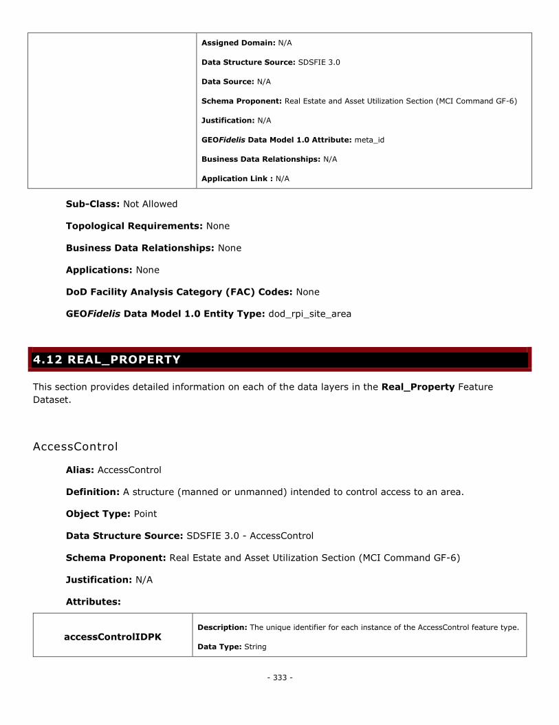
- 333 -
Assigned Domain: N/A
Data Structure Source: SDSFIE 3.0
Data Source: N/A
Schema Proponent: Real Estate and Asset Utilization Section (MCI Command GF-6)
Justification: N/A
GEOFidelis Data Model 1.0 Attribute: meta_id
Business Data Relationships: N/A
Application Link : N/A
Sub-Class: Not Allowed
Topological Requirements: None
Business Data Relationships: None
Applications: None
DoD Facility Analysis Category (FAC) Codes: None
GEOFidelis Data Model 1.0 Entity Type: dod_rpi_site_area
4.12 REAL_PROPERTY
This section provides detailed information on each of the data layers in the Real_Property Feature
Dataset.
AccessControl
Alias: AccessControl
Definition: A structure (manned or unmanned) intended to control access to an area.
Object Type: Point
Data Structure Source: SDSFIE 3.0 - AccessControl
Schema Proponent: Real Estate and Asset Utilization Section (MCI Command GF-6)
Justification: N/A
Attributes:
accessControlIDPK Description: The unique identifier for each instance of the AccessControl feature type.
Data Type: String

- 334 -
Length: 20
Allow Nulls: No
Default Value: N/A
Assigned Domain: N/A
Data Structure Source: SDSFIE 3.0
Data Source: N/A
Schema Proponent: Real Estate and Asset Utilization Section (MCI Command GF-6)
Justification: N/A
GEOFidelis Data Model 1.0 Attribute: N/A
Business Data Relationships: N/A
Application Link : N/A
sdsFeatureDescription
Description: A narrative describing the feature.
Data Type: Memo
Length: N/A
Allow Nulls: Yes
Default Value: N/A
Assigned Domain: N/A
Data Structure Source: SDSFIE 3.0
Data Source: N/A
Schema Proponent: Real Estate and Asset Utilization Section (MCI Command GF-6)
Justification: N/A
GEOFidelis Data Model 1.0 Attribute: N/A
Business Data Relationships: N/A
Application Link : N/A
sdsFeatureName
Description: The common name of the feature.
Data Type: String
Length: 80
Allow Nulls: Yes
Default Value: N/A
Assigned Domain: N/A
Data Structure Source: SDSFIE 3.0
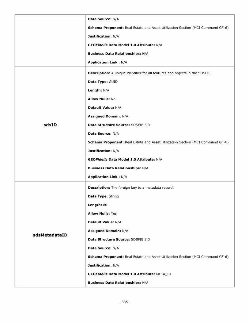
- 335 -
Data Source: N/A
Schema Proponent: Real Estate and Asset Utilization Section (MCI Command GF-6)
Justification: N/A
GEOFidelis Data Model 1.0 Attribute: N/A
Business Data Relationships: N/A
Application Link : N/A
sdsID
Description: A unique identifier for all features and objects in the SDSFIE.
Data Type: GUID
Length: N/A
Allow Nulls: No
Default Value: N/A
Assigned Domain: N/A
Data Structure Source: SDSFIE 3.0
Data Source: N/A
Schema Proponent: Real Estate and Asset Utilization Section (MCI Command GF-6)
Justification: N/A
GEOFidelis Data Model 1.0 Attribute: N/A
Business Data Relationships: N/A
Application Link : N/A
sdsMetadataID
Description: The foreign key to a metadata record.
Data Type: String
Length: 80
Allow Nulls: Yes
Default Value: N/A
Assigned Domain: N/A
Data Structure Source: SDSFIE 3.0
Data Source: N/A
Schema Proponent: Real Estate and Asset Utilization Section (MCI Command GF-6)
Justification: N/A
GEOFidelis Data Model 1.0 Attribute: META_ID
Business Data Relationships: N/A
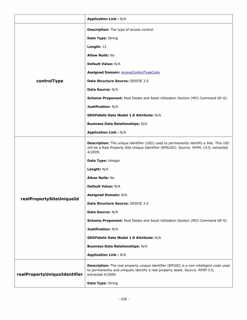
- 336 -
Application Link : N/A
controlType
Description: The type of access control.
Data Type: String
Length: 12
Allow Nulls: No
Default Value: N/A
Assigned Domain: AccessControlTypeCode
Data Structure Source: SDSFIE 3.0
Data Source: N/A
Schema Proponent: Real Estate and Asset Utilization Section (MCI Command GF-6)
Justification: N/A
GEOFidelis Data Model 1.0 Attribute: N/A
Business Data Relationships: N/A
Application Link : N/A
realPropertySiteUniqueId
Description: The unique identifier (UID) used to permanently identify a Site. This UID
will be a Real Property Site Unique Identifier (RPSUID). Source: RPIM, v3.0, extracted
4/2009.
Data Type: Integer
Length: N/A
Allow Nulls: No
Default Value: N/A
Assigned Domain: N/A
Data Structure Source: SDSFIE 3.0
Data Source: N/A
Schema Proponent: Real Estate and Asset Utilization Section (MCI Command GF-6)
Justification: N/A
GEOFidelis Data Model 1.0 Attribute: N/A
Business Data Relationships: N/A
Application Link : N/A
realPropertyUniqueIdentifier
Description: The real property unique identifier (RPUID) is a non-intelligent code used
to permanently and uniquely identify a real property asset. Source: RPIM 3.0,
extracted 4/2009.
Data Type: String
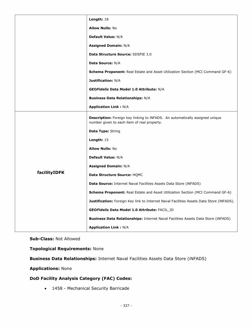
- 337 -
Length: 18
Allow Nulls: No
Default Value: N/A
Assigned Domain: N/A
Data Structure Source: SDSFIE 3.0
Data Source: N/A
Schema Proponent: Real Estate and Asset Utilization Section (MCI Command GF-6)
Justification: N/A
GEOFidelis Data Model 1.0 Attribute: N/A
Business Data Relationships: N/A
Application Link : N/A
facilityIDFK
Description: Foreign key linking to iNFADS. An automatically assigned unique
number given to each item of real property.
Data Type: String
Length: 15
Allow Nulls: No
Default Value: N/A
Assigned Domain: N/A
Data Structure Source: HQMC
Data Source: Internet Naval Facilities Assets Data Store (iNFADS)
Schema Proponent: Real Estate and Asset Utilization Section (MCI Command GF-6)
Justification: Foreign Key link to Internet Naval Facilities Assets Data Store (iNFADS).
GEOFidelis Data Model 1.0 Attribute: FACIL_ID
Business Data Relationships: Internet Naval Facilities Assets Data Store (iNFADS)
Application Link : N/A
Sub-Class: Not Allowed
Topological Requirements: None
Business Data Relationships: Internet Naval Facilities Assets Data Store (iNFADS)
Applications: None
DoD Facility Analysis Category (FAC) Codes:
1458 - Mechanical Security Barricade
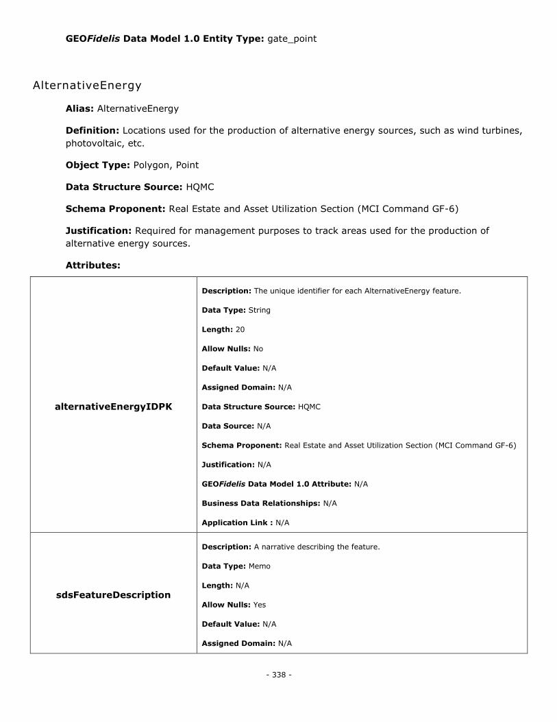
- 338 -
GEOFidelis Data Model 1.0 Entity Type: gate_point
AlternativeEnergy
Alias: AlternativeEnergy
Definition: Locations used for the production of alternative energy sources, such as wind turbines,
photovoltaic, etc.
Object Type: Polygon, Point
Data Structure Source: HQMC
Schema Proponent: Real Estate and Asset Utilization Section (MCI Command GF-6)
Justification: Required for management purposes to track areas used for the production of
alternative energy sources.
Attributes:
alternativeEnergyIDPK
Description: The unique identifier for each AlternativeEnergy feature.
Data Type: String
Length: 20
Allow Nulls: No
Default Value: N/A
Assigned Domain: N/A
Data Structure Source: HQMC
Data Source: N/A
Schema Proponent: Real Estate and Asset Utilization Section (MCI Command GF-6)
Justification: N/A
GEOFidelis Data Model 1.0 Attribute: N/A
Business Data Relationships: N/A
Application Link : N/A
sdsFeatureDescription
Description: A narrative describing the feature.
Data Type: Memo
Length: N/A
Allow Nulls: Yes
Default Value: N/A
Assigned Domain: N/A
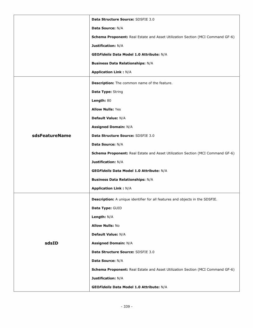
- 339 -
Data Structure Source: SDSFIE 3.0
Data Source: N/A
Schema Proponent: Real Estate and Asset Utilization Section (MCI Command GF-6)
Justification: N/A
GEOFidelis Data Model 1.0 Attribute: N/A
Business Data Relationships: N/A
Application Link : N/A
sdsFeatureName
Description: The common name of the feature.
Data Type: String
Length: 80
Allow Nulls: Yes
Default Value: N/A
Assigned Domain: N/A
Data Structure Source: SDSFIE 3.0
Data Source: N/A
Schema Proponent: Real Estate and Asset Utilization Section (MCI Command GF-6)
Justification: N/A
GEOFidelis Data Model 1.0 Attribute: N/A
Business Data Relationships: N/A
Application Link : N/A
sdsID
Description: A unique identifier for all features and objects in the SDSFIE.
Data Type: GUID
Length: N/A
Allow Nulls: No
Default Value: N/A
Assigned Domain: N/A
Data Structure Source: SDSFIE 3.0
Data Source: N/A
Schema Proponent: Real Estate and Asset Utilization Section (MCI Command GF-6)
Justification: N/A
GEOFidelis Data Model 1.0 Attribute: N/A
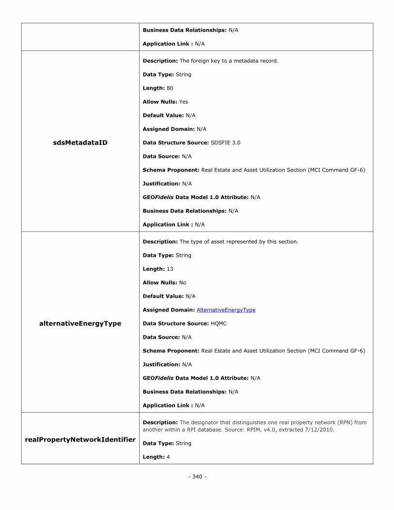
- 340 -
Business Data Relationships: N/A
Application Link : N/A
sdsMetadataID
Description: The foreign key to a metadata record.
Data Type: String
Length: 80
Allow Nulls: Yes
Default Value: N/A
Assigned Domain: N/A
Data Structure Source: SDSFIE 3.0
Data Source: N/A
Schema Proponent: Real Estate and Asset Utilization Section (MCI Command GF-6)
Justification: N/A
GEOFidelis Data Model 1.0 Attribute: N/A
Business Data Relationships: N/A
Application Link : N/A
alternativeEnergyType
Description: The type of asset represented by this section.
Data Type: String
Length: 13
Allow Nulls: No
Default Value: N/A
Assigned Domain: AlternativeEnergyType
Data Structure Source: HQMC
Data Source: N/A
Schema Proponent: Real Estate and Asset Utilization Section (MCI Command GF-6)
Justification: N/A
GEOFidelis Data Model 1.0 Attribute: N/A
Business Data Relationships: N/A
Application Link : N/A
realPropertyNetworkIdentifier
Description: The designator that distinguishes one real property network (RPN) from
another within a RPI database. Source: RPIM, v4.0, extracted 7/12/2010.
Data Type: String
Length: 4
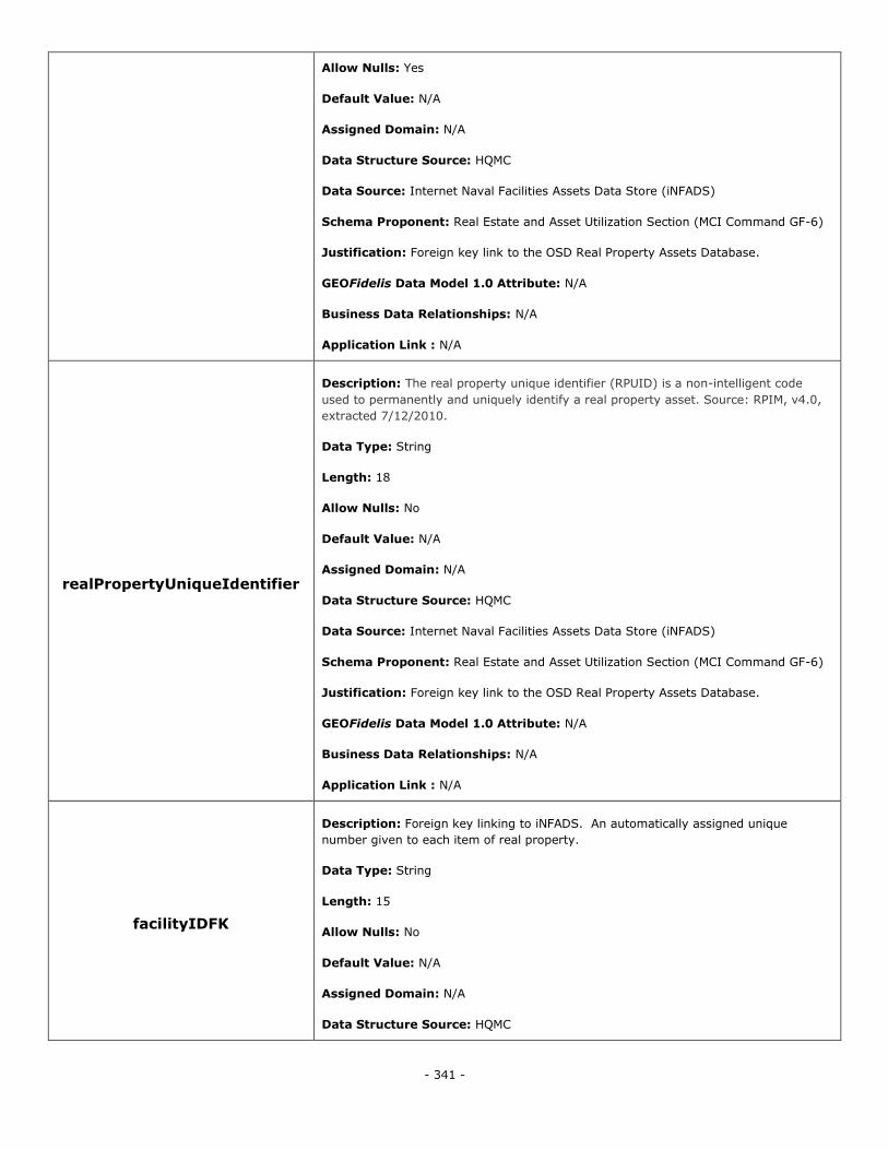
- 341 -
Allow Nulls: Yes
Default Value: N/A
Assigned Domain: N/A
Data Structure Source: HQMC
Data Source: Internet Naval Facilities Assets Data Store (iNFADS)
Schema Proponent: Real Estate and Asset Utilization Section (MCI Command GF-6)
Justification: Foreign key link to the OSD Real Property Assets Database.
GEOFidelis Data Model 1.0 Attribute: N/A
Business Data Relationships: N/A
Application Link : N/A
realPropertyUniqueIdentifier
Description: The real property unique identifier (RPUID) is a non-intelligent code
used to permanently and uniquely identify a real property asset. Source: RPIM, v4.0,
extracted 7/12/2010.
Data Type: String
Length: 18
Allow Nulls: No
Default Value: N/A
Assigned Domain: N/A
Data Structure Source: HQMC
Data Source: Internet Naval Facilities Assets Data Store (iNFADS)
Schema Proponent: Real Estate and Asset Utilization Section (MCI Command GF-6)
Justification: Foreign key link to the OSD Real Property Assets Database.
GEOFidelis Data Model 1.0 Attribute: N/A
Business Data Relationships: N/A
Application Link : N/A
facilityIDFK
Description: Foreign key linking to iNFADS. An automatically assigned unique
number given to each item of real property.
Data Type: String
Length: 15
Allow Nulls: No
Default Value: N/A
Assigned Domain: N/A
Data Structure Source: HQMC
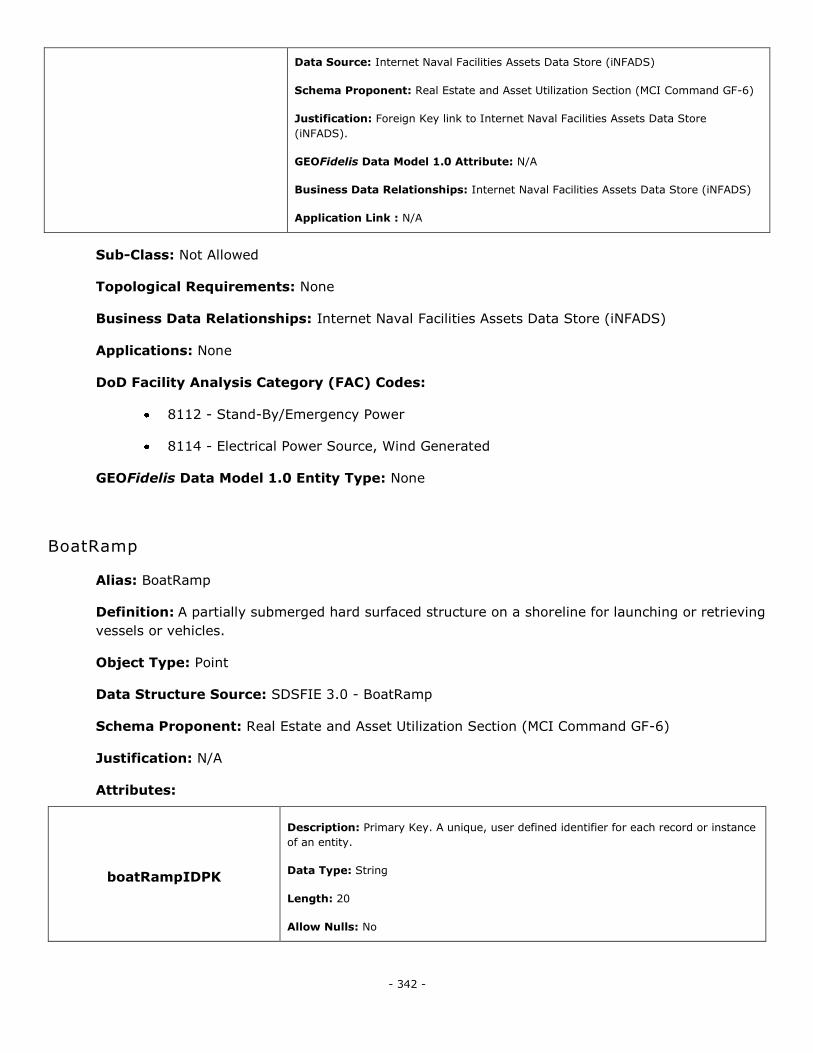
- 342 -
Data Source: Internet Naval Facilities Assets Data Store (iNFADS)
Schema Proponent: Real Estate and Asset Utilization Section (MCI Command GF-6)
Justification: Foreign Key link to Internet Naval Facilities Assets Data Store
(iNFADS).
GEOFidelis Data Model 1.0 Attribute: N/A
Business Data Relationships: Internet Naval Facilities Assets Data Store (iNFADS)
Application Link : N/A
Sub-Class: Not Allowed
Topological Requirements: None
Business Data Relationships: Internet Naval Facilities Assets Data Store (iNFADS)
Applications: None
DoD Facility Analysis Category (FAC) Codes:
8112 - Stand-By/Emergency Power
8114 - Electrical Power Source, Wind Generated
GEOFidelis Data Model 1.0 Entity Type: None
BoatRamp
Alias: BoatRamp
Definition: A partially submerged hard surfaced structure on a shoreline for launching or retrieving
vessels or vehicles.
Object Type: Point
Data Structure Source: SDSFIE 3.0 - BoatRamp
Schema Proponent: Real Estate and Asset Utilization Section (MCI Command GF-6)
Justification: N/A
Attributes:
boatRampIDPK
Description: Primary Key. A unique, user defined identifier for each record or instance
of an entity.
Data Type: String
Length: 20
Allow Nulls: No
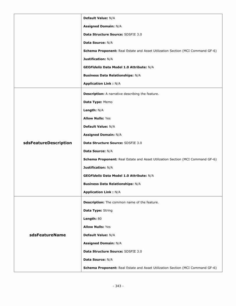
- 343 -
Default Value: N/A
Assigned Domain: N/A
Data Structure Source: SDSFIE 3.0
Data Source: N/A
Schema Proponent: Real Estate and Asset Utilization Section (MCI Command GF-6)
Justification: N/A
GEOFidelis Data Model 1.0 Attribute: N/A
Business Data Relationships: N/A
Application Link : N/A
sdsFeatureDescription
Description: A narrative describing the feature.
Data Type: Memo
Length: N/A
Allow Nulls: Yes
Default Value: N/A
Assigned Domain: N/A
Data Structure Source: SDSFIE 3.0
Data Source: N/A
Schema Proponent: Real Estate and Asset Utilization Section (MCI Command GF-6)
Justification: N/A
GEOFidelis Data Model 1.0 Attribute: N/A
Business Data Relationships: N/A
Application Link : N/A
sdsFeatureName
Description: The common name of the feature.
Data Type: String
Length: 80
Allow Nulls: Yes
Default Value: N/A
Assigned Domain: N/A
Data Structure Source: SDSFIE 3.0
Data Source: N/A
Schema Proponent: Real Estate and Asset Utilization Section (MCI Command GF-6)
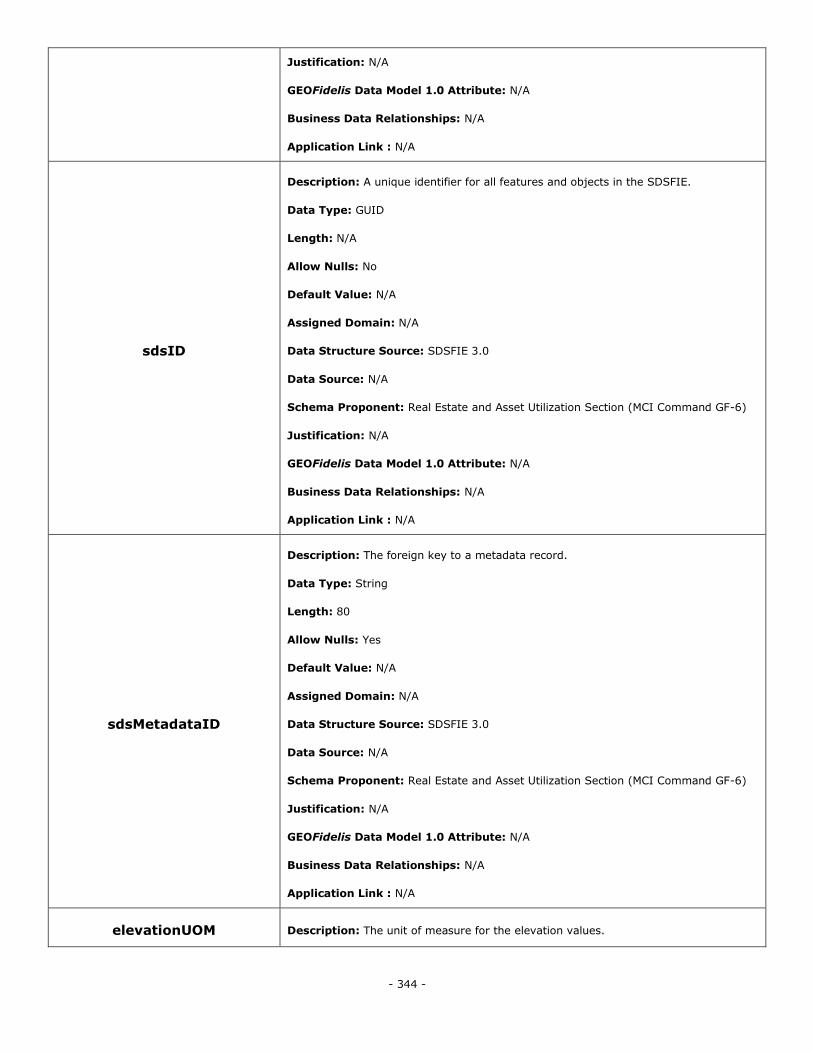
- 344 -
Justification: N/A
GEOFidelis Data Model 1.0 Attribute: N/A
Business Data Relationships: N/A
Application Link : N/A
sdsID
Description: A unique identifier for all features and objects in the SDSFIE.
Data Type: GUID
Length: N/A
Allow Nulls: No
Default Value: N/A
Assigned Domain: N/A
Data Structure Source: SDSFIE 3.0
Data Source: N/A
Schema Proponent: Real Estate and Asset Utilization Section (MCI Command GF-6)
Justification: N/A
GEOFidelis Data Model 1.0 Attribute: N/A
Business Data Relationships: N/A
Application Link : N/A
sdsMetadataID
Description: The foreign key to a metadata record.
Data Type: String
Length: 80
Allow Nulls: Yes
Default Value: N/A
Assigned Domain: N/A
Data Structure Source: SDSFIE 3.0
Data Source: N/A
Schema Proponent: Real Estate and Asset Utilization Section (MCI Command GF-6)
Justification: N/A
GEOFidelis Data Model 1.0 Attribute: N/A
Business Data Relationships: N/A
Application Link : N/A
elevationUOM Description: The unit of measure for the elevation values.
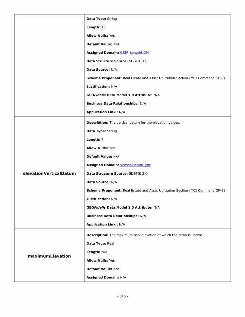
- 345 -
Data Type: String
Length: 16
Allow Nulls: Yes
Default Value: N/A
Assigned Domain: GSIP_LengthUOM
Data Structure Source: SDSFIE 3.0
Data Source: N/A
Schema Proponent: Real Estate and Asset Utilization Section (MCI Command GF-6)
Justification: N/A
GEOFidelis Data Model 1.0 Attribute: N/A
Business Data Relationships: N/A
Application Link : N/A
elevationVerticalDatum
Description: The vertical datum for the elevation values.
Data Type: String
Length: 7
Allow Nulls: Yes
Default Value: N/A
Assigned Domain: VerticalDatumType
Data Structure Source: SDSFIE 3.0
Data Source: N/A
Schema Proponent: Real Estate and Asset Utilization Section (MCI Command GF-6)
Justification: N/A
GEOFidelis Data Model 1.0 Attribute: N/A
Business Data Relationships: N/A
Application Link : N/A
maximumElevation
Description: The maximum pool elevation at which the ramp is usable.
Data Type: Real
Length: N/A
Allow Nulls: Yes
Default Value: N/A
Assigned Domain: N/A
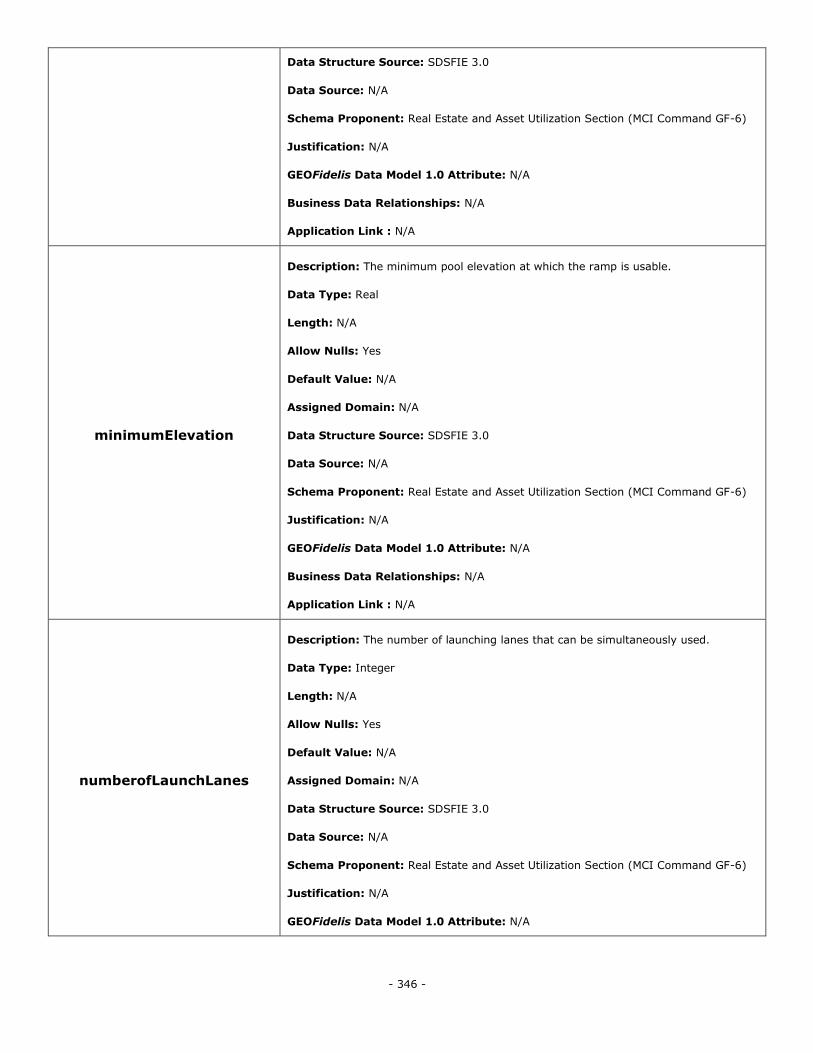
- 346 -
Data Structure Source: SDSFIE 3.0
Data Source: N/A
Schema Proponent: Real Estate and Asset Utilization Section (MCI Command GF-6)
Justification: N/A
GEOFidelis Data Model 1.0 Attribute: N/A
Business Data Relationships: N/A
Application Link : N/A
minimumElevation
Description: The minimum pool elevation at which the ramp is usable.
Data Type: Real
Length: N/A
Allow Nulls: Yes
Default Value: N/A
Assigned Domain: N/A
Data Structure Source: SDSFIE 3.0
Data Source: N/A
Schema Proponent: Real Estate and Asset Utilization Section (MCI Command GF-6)
Justification: N/A
GEOFidelis Data Model 1.0 Attribute: N/A
Business Data Relationships: N/A
Application Link : N/A
numberofLaunchLanes
Description: The number of launching lanes that can be simultaneously used.
Data Type: Integer
Length: N/A
Allow Nulls: Yes
Default Value: N/A
Assigned Domain: N/A
Data Structure Source: SDSFIE 3.0
Data Source: N/A
Schema Proponent: Real Estate and Asset Utilization Section (MCI Command GF-6)
Justification: N/A
GEOFidelis Data Model 1.0 Attribute: N/A
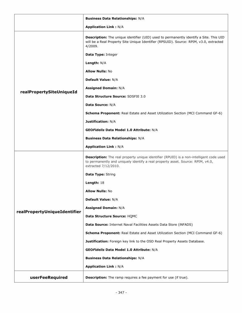
- 347 -
Business Data Relationships: N/A
Application Link : N/A
realPropertySiteUniqueId
Description: The unique identifier (UID) used to permanently identify a Site. This UID
will be a Real Property Site Unique Identifier (RPSUID). Source: RPIM, v3.0, extracted
4/2009.
Data Type: Integer
Length: N/A
Allow Nulls: No
Default Value: N/A
Assigned Domain: N/A
Data Structure Source: SDSFIE 3.0
Data Source: N/A
Schema Proponent: Real Estate and Asset Utilization Section (MCI Command GF-6)
Justification: N/A
GEOFidelis Data Model 1.0 Attribute: N/A
Business Data Relationships: N/A
Application Link : N/A
realPropertyUniqueIdentifier
Description: The real property unique identifier (RPUID) is a non-intelligent code used
to permanently and uniquely identify a real property asset. Source: RPIM, v4.0,
extracted 7/12/2010.
Data Type: String
Length: 18
Allow Nulls: No
Default Value: N/A
Assigned Domain: N/A
Data Structure Source: HQMC
Data Source: Internet Naval Facilities Assets Data Store (iNFADS)
Schema Proponent: Real Estate and Asset Utilization Section (MCI Command GF-6)
Justification: Foreign key link to the OSD Real Property Assets Database.
GEOFidelis Data Model 1.0 Attribute: N/A
Business Data Relationships: N/A
Application Link : N/A
userFeeRequired Description: The ramp requires a fee payment for use (if true).
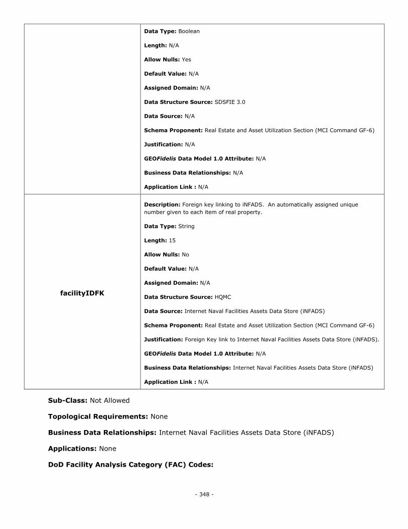
- 348 -
Data Type: Boolean
Length: N/A
Allow Nulls: Yes
Default Value: N/A
Assigned Domain: N/A
Data Structure Source: SDSFIE 3.0
Data Source: N/A
Schema Proponent: Real Estate and Asset Utilization Section (MCI Command GF-6)
Justification: N/A
GEOFidelis Data Model 1.0 Attribute: N/A
Business Data Relationships: N/A
Application Link : N/A
facilityIDFK
Description: Foreign key linking to iNFADS. An automatically assigned unique
number given to each item of real property.
Data Type: String
Length: 15
Allow Nulls: No
Default Value: N/A
Assigned Domain: N/A
Data Structure Source: HQMC
Data Source: Internet Naval Facilities Assets Data Store (iNFADS)
Schema Proponent: Real Estate and Asset Utilization Section (MCI Command GF-6)
Justification: Foreign Key link to Internet Naval Facilities Assets Data Store (iNFADS).
GEOFidelis Data Model 1.0 Attribute: N/A
Business Data Relationships: Internet Naval Facilities Assets Data Store (iNFADS)
Application Link : N/A
Sub-Class: Not Allowed
Topological Requirements: None
Business Data Relationships: Internet Naval Facilities Assets Data Store (iNFADS)
Applications: None
DoD Facility Analysis Category (FAC) Codes:
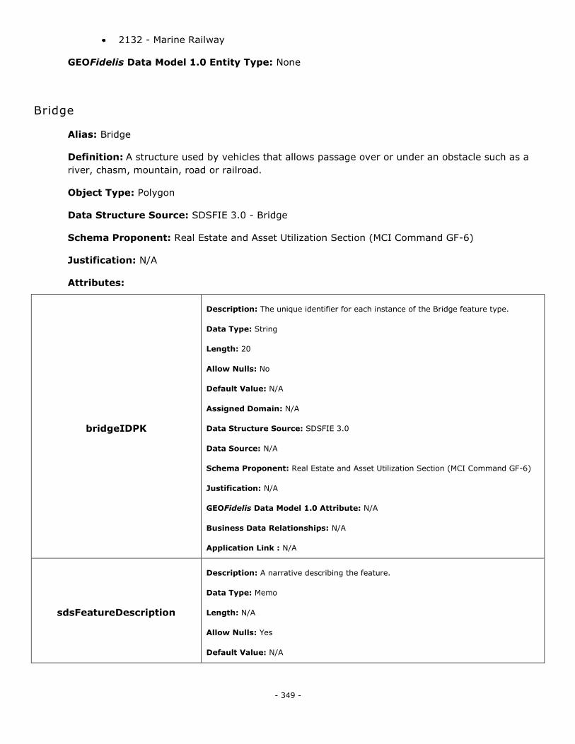
- 349 -
2132 - Marine Railway
GEOFidelis Data Model 1.0 Entity Type: None
Bridge
Alias: Bridge
Definition: A structure used by vehicles that allows passage over or under an obstacle such as a
river, chasm, mountain, road or railroad.
Object Type: Polygon
Data Structure Source: SDSFIE 3.0 - Bridge
Schema Proponent: Real Estate and Asset Utilization Section (MCI Command GF-6)
Justification: N/A
Attributes:
bridgeIDPK
Description: The unique identifier for each instance of the Bridge feature type.
Data Type: String
Length: 20
Allow Nulls: No
Default Value: N/A
Assigned Domain: N/A
Data Structure Source: SDSFIE 3.0
Data Source: N/A
Schema Proponent: Real Estate and Asset Utilization Section (MCI Command GF-6)
Justification: N/A
GEOFidelis Data Model 1.0 Attribute: N/A
Business Data Relationships: N/A
Application Link : N/A
sdsFeatureDescription
Description: A narrative describing the feature.
Data Type: Memo
Length: N/A
Allow Nulls: Yes
Default Value: N/A

- 350 -
Assigned Domain: N/A
Data Structure Source: SDSFIE 3.0
Data Source: N/A
Schema Proponent: Real Estate and Asset Utilization Section (MCI Command GF-6)
Justification: N/A
GEOFidelis Data Model 1.0 Attribute: N/A
Business Data Relationships: N/A
Application Link : N/A
sdsFeatureName
Description: The common name of the feature.
Data Type: String
Length: 80
Allow Nulls: No
Default Value: N/A
Assigned Domain: N/A
Data Structure Source: SDSFIE 3.0
Data Source: N/A
Schema Proponent: Real Estate and Asset Utilization Section (MCI Command GF-6)
Justification: N/A
GEOFidelis Data Model 1.0 Attribute: FEAT_NAME (road_bridge_area)
Business Data Relationships: N/A
Application Link : N/A
sdsID
Description: A unique identifier for all features and objects in the SDSFIE.
Data Type: GUID
Length: N/A
Allow Nulls: No
Default Value: N/A
Assigned Domain: N/A
Data Structure Source: SDSFIE 3.0
Data Source: N/A
Schema Proponent: Real Estate and Asset Utilization Section (MCI Command GF-6)
Justification: N/A
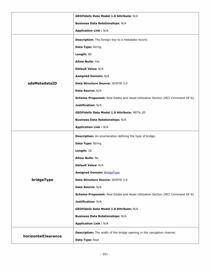
- 351 -
GEOFidelis Data Model 1.0 Attribute: N/A
Business Data Relationships: N/A
Application Link : N/A
sdsMetadataID
Description: The foreign key to a metadata record.
Data Type: String
Length: 80
Allow Nulls: Yes
Default Value: N/A
Assigned Domain: N/A
Data Structure Source: SDSFIE 3.0
Data Source: N/A
Schema Proponent: Real Estate and Asset Utilization Section (MCI Command GF-6)
Justification: N/A
GEOFidelis Data Model 1.0 Attribute: META_ID
Business Data Relationships: N/A
Application Link : N/A
bridgeType
Description: An enumeration defining the type of bridge.
Data Type: String
Length: 18
Allow Nulls: No
Default Value: N/A
Assigned Domain: BridgeType
Data Structure Source: SDSFIE 3.0
Data Source: N/A
Schema Proponent: Real Estate and Asset Utilization Section (MCI Command GF-6)
Justification: N/A
GEOFidelis Data Model 1.0 Attribute: N/A
Business Data Relationships: N/A
Application Link : N/A
horizontalClearance Description: The width of the bridge opening in the navigation channel.
Data Type: Real
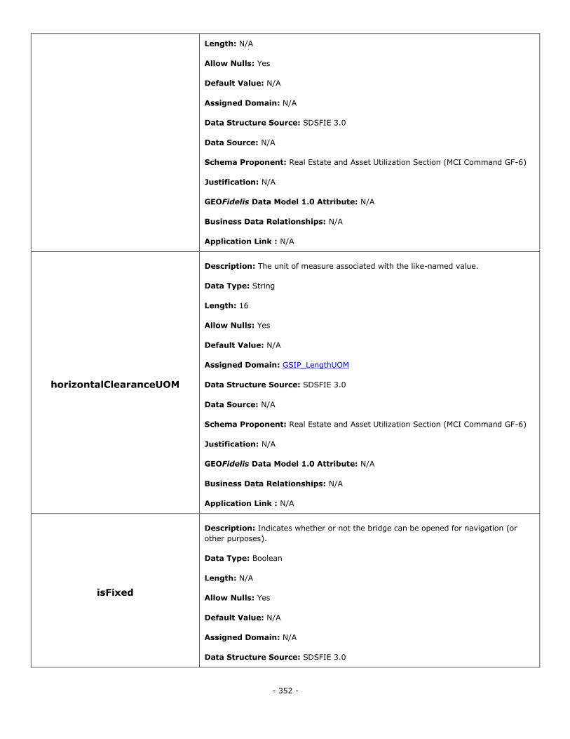
- 352 -
Length: N/A
Allow Nulls: Yes
Default Value: N/A
Assigned Domain: N/A
Data Structure Source: SDSFIE 3.0
Data Source: N/A
Schema Proponent: Real Estate and Asset Utilization Section (MCI Command GF-6)
Justification: N/A
GEOFidelis Data Model 1.0 Attribute: N/A
Business Data Relationships: N/A
Application Link : N/A
horizontalClearanceUOM
Description: The unit of measure associated with the like-named value.
Data Type: String
Length: 16
Allow Nulls: Yes
Default Value: N/A
Assigned Domain: GSIP_LengthUOM
Data Structure Source: SDSFIE 3.0
Data Source: N/A
Schema Proponent: Real Estate and Asset Utilization Section (MCI Command GF-6)
Justification: N/A
GEOFidelis Data Model 1.0 Attribute: N/A
Business Data Relationships: N/A
Application Link : N/A
isFixed
Description: Indicates whether or not the bridge can be opened for navigation (or
other purposes).
Data Type: Boolean
Length: N/A
Allow Nulls: Yes
Default Value: N/A
Assigned Domain: N/A
Data Structure Source: SDSFIE 3.0
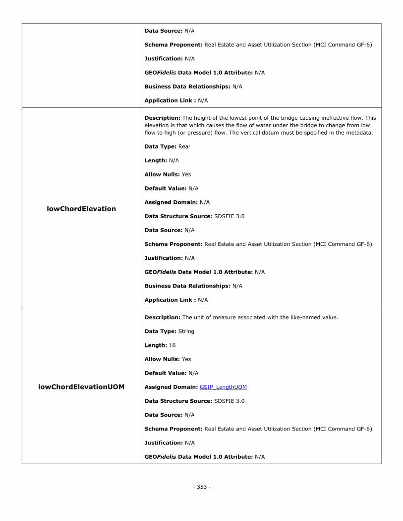
- 353 -
Data Source: N/A
Schema Proponent: Real Estate and Asset Utilization Section (MCI Command GF-6)
Justification: N/A
GEOFidelis Data Model 1.0 Attribute: N/A
Business Data Relationships: N/A
Application Link : N/A
lowChordElevation
Description: The height of the lowest point of the bridge causing ineffective flow. This
elevation is that which causes the flow of water under the bridge to change from low
flow to high (or pressure) flow. The vertical datum must be specified in the metadata.
Data Type: Real
Length: N/A
Allow Nulls: Yes
Default Value: N/A
Assigned Domain: N/A
Data Structure Source: SDSFIE 3.0
Data Source: N/A
Schema Proponent: Real Estate and Asset Utilization Section (MCI Command GF-6)
Justification: N/A
GEOFidelis Data Model 1.0 Attribute: N/A
Business Data Relationships: N/A
Application Link : N/A
lowChordElevationUOM
Description: The unit of measure associated with the like-named value.
Data Type: String
Length: 16
Allow Nulls: Yes
Default Value: N/A
Assigned Domain: GSIP_LengthUOM
Data Structure Source: SDSFIE 3.0
Data Source: N/A
Schema Proponent: Real Estate and Asset Utilization Section (MCI Command GF-6)
Justification: N/A
GEOFidelis Data Model 1.0 Attribute: N/A
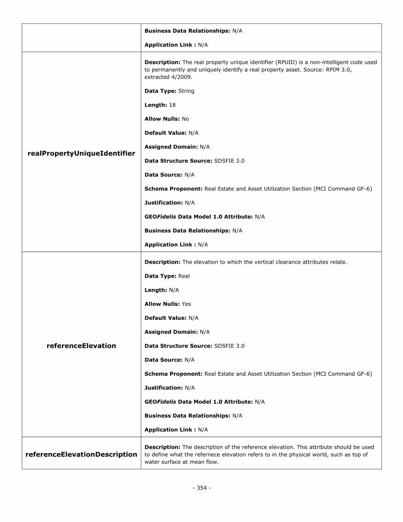
- 354 -
Business Data Relationships: N/A
Application Link : N/A
realPropertyUniqueIdentifier
Description: The real property unique identifier (RPUID) is a non-intelligent code used
to permanently and uniquely identify a real property asset. Source: RPIM 3.0,
extracted 4/2009.
Data Type: String
Length: 18
Allow Nulls: No
Default Value: N/A
Assigned Domain: N/A
Data Structure Source: SDSFIE 3.0
Data Source: N/A
Schema Proponent: Real Estate and Asset Utilization Section (MCI Command GF-6)
Justification: N/A
GEOFidelis Data Model 1.0 Attribute: N/A
Business Data Relationships: N/A
Application Link : N/A
referenceElevation
Description: The elevation to which the vertical clearance attributes relate.
Data Type: Real
Length: N/A
Allow Nulls: Yes
Default Value: N/A
Assigned Domain: N/A
Data Structure Source: SDSFIE 3.0
Data Source: N/A
Schema Proponent: Real Estate and Asset Utilization Section (MCI Command GF-6)
Justification: N/A
GEOFidelis Data Model 1.0 Attribute: N/A
Business Data Relationships: N/A
Application Link : N/A
referenceElevationDescription Description: The description of the reference elevation. This attribute should be used
to define what the refernece elevation refers to in the physical world, such as top of
water surface at mean flow.
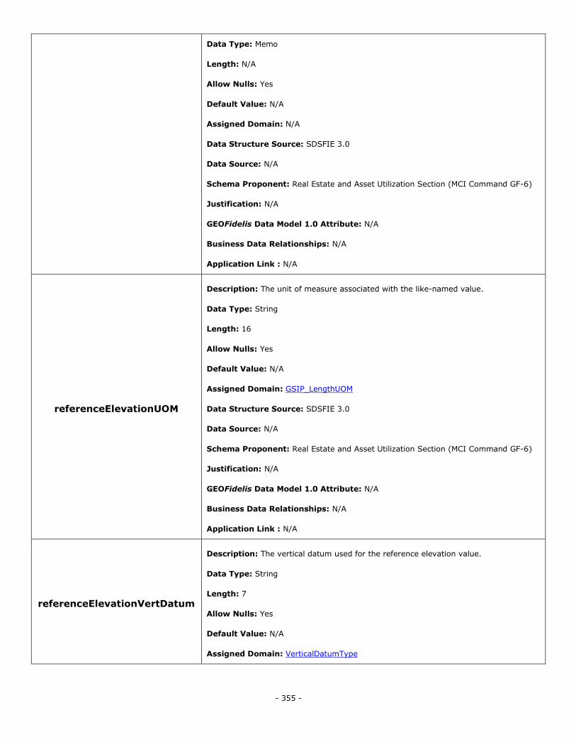
- 355 -
Data Type: Memo
Length: N/A
Allow Nulls: Yes
Default Value: N/A
Assigned Domain: N/A
Data Structure Source: SDSFIE 3.0
Data Source: N/A
Schema Proponent: Real Estate and Asset Utilization Section (MCI Command GF-6)
Justification: N/A
GEOFidelis Data Model 1.0 Attribute: N/A
Business Data Relationships: N/A
Application Link : N/A
referenceElevationUOM
Description: The unit of measure associated with the like-named value.
Data Type: String
Length: 16
Allow Nulls: Yes
Default Value: N/A
Assigned Domain: GSIP_LengthUOM
Data Structure Source: SDSFIE 3.0
Data Source: N/A
Schema Proponent: Real Estate and Asset Utilization Section (MCI Command GF-6)
Justification: N/A
GEOFidelis Data Model 1.0 Attribute: N/A
Business Data Relationships: N/A
Application Link : N/A
referenceElevationVertDatum
Description: The vertical datum used for the reference elevation value.
Data Type: String
Length: 7
Allow Nulls: Yes
Default Value: N/A
Assigned Domain: VerticalDatumType
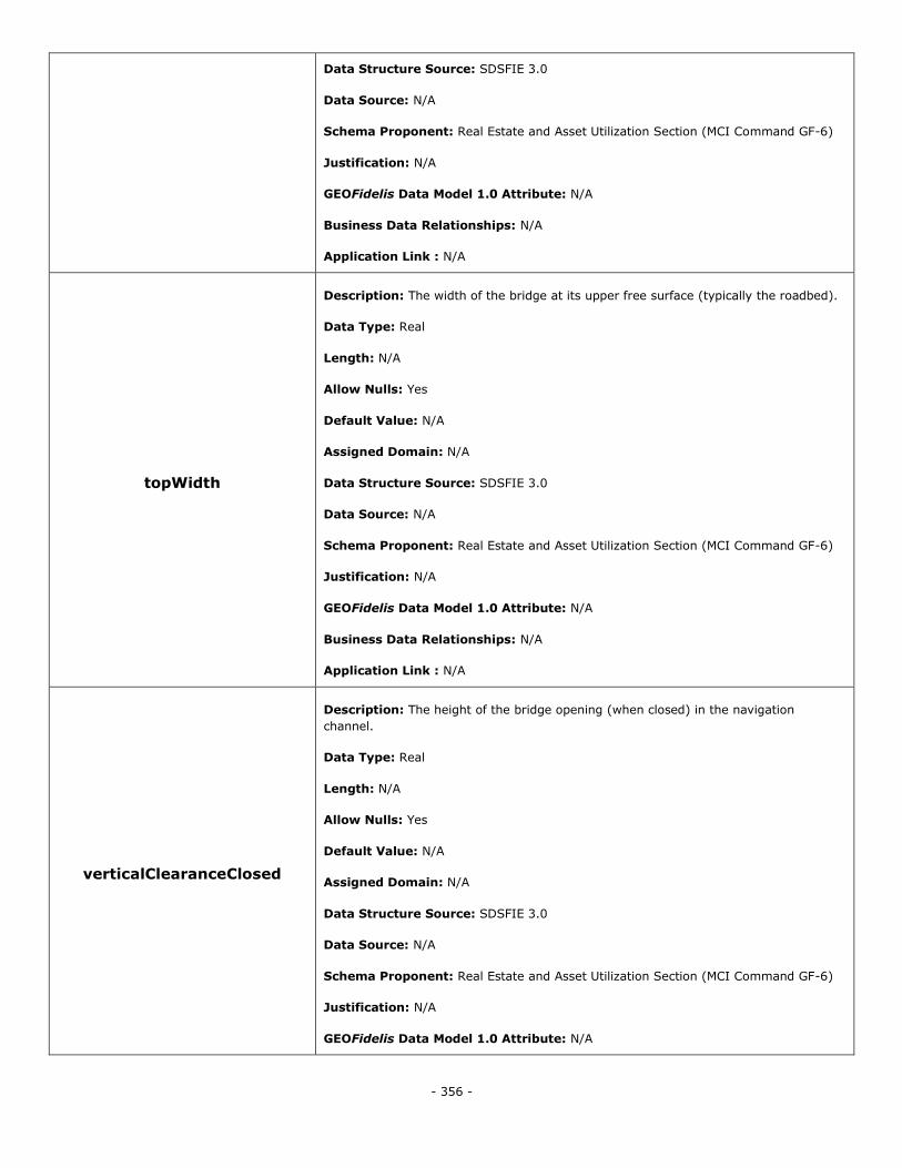
- 356 -
Data Structure Source: SDSFIE 3.0
Data Source: N/A
Schema Proponent: Real Estate and Asset Utilization Section (MCI Command GF-6)
Justification: N/A
GEOFidelis Data Model 1.0 Attribute: N/A
Business Data Relationships: N/A
Application Link : N/A
topWidth
Description: The width of the bridge at its upper free surface (typically the roadbed).
Data Type: Real
Length: N/A
Allow Nulls: Yes
Default Value: N/A
Assigned Domain: N/A
Data Structure Source: SDSFIE 3.0
Data Source: N/A
Schema Proponent: Real Estate and Asset Utilization Section (MCI Command GF-6)
Justification: N/A
GEOFidelis Data Model 1.0 Attribute: N/A
Business Data Relationships: N/A
Application Link : N/A
verticalClearanceClosed
Description: The height of the bridge opening (when closed) in the navigation
channel.
Data Type: Real
Length: N/A
Allow Nulls: Yes
Default Value: N/A
Assigned Domain: N/A
Data Structure Source: SDSFIE 3.0
Data Source: N/A
Schema Proponent: Real Estate and Asset Utilization Section (MCI Command GF-6)
Justification: N/A
GEOFidelis Data Model 1.0 Attribute: N/A
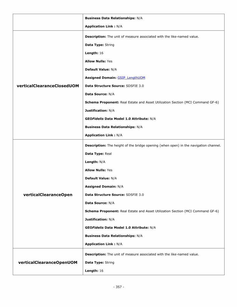
- 357 -
Business Data Relationships: N/A
Application Link : N/A
verticalClearanceClosedUOM
Description: The unit of measure associated with the like-named value.
Data Type: String
Length: 16
Allow Nulls: Yes
Default Value: N/A
Assigned Domain: GSIP_LengthUOM
Data Structure Source: SDSFIE 3.0
Data Source: N/A
Schema Proponent: Real Estate and Asset Utilization Section (MCI Command GF-6)
Justification: N/A
GEOFidelis Data Model 1.0 Attribute: N/A
Business Data Relationships: N/A
Application Link : N/A
verticalClearanceOpen
Description: The height of the bridge opening (when open) in the navigation channel.
Data Type: Real
Length: N/A
Allow Nulls: Yes
Default Value: N/A
Assigned Domain: N/A
Data Structure Source: SDSFIE 3.0
Data Source: N/A
Schema Proponent: Real Estate and Asset Utilization Section (MCI Command GF-6)
Justification: N/A
GEOFidelis Data Model 1.0 Attribute: N/A
Business Data Relationships: N/A
Application Link : N/A
verticalClearanceOpenUOM
Description: The unit of measure associated with the like-named value.
Data Type: String
Length: 16
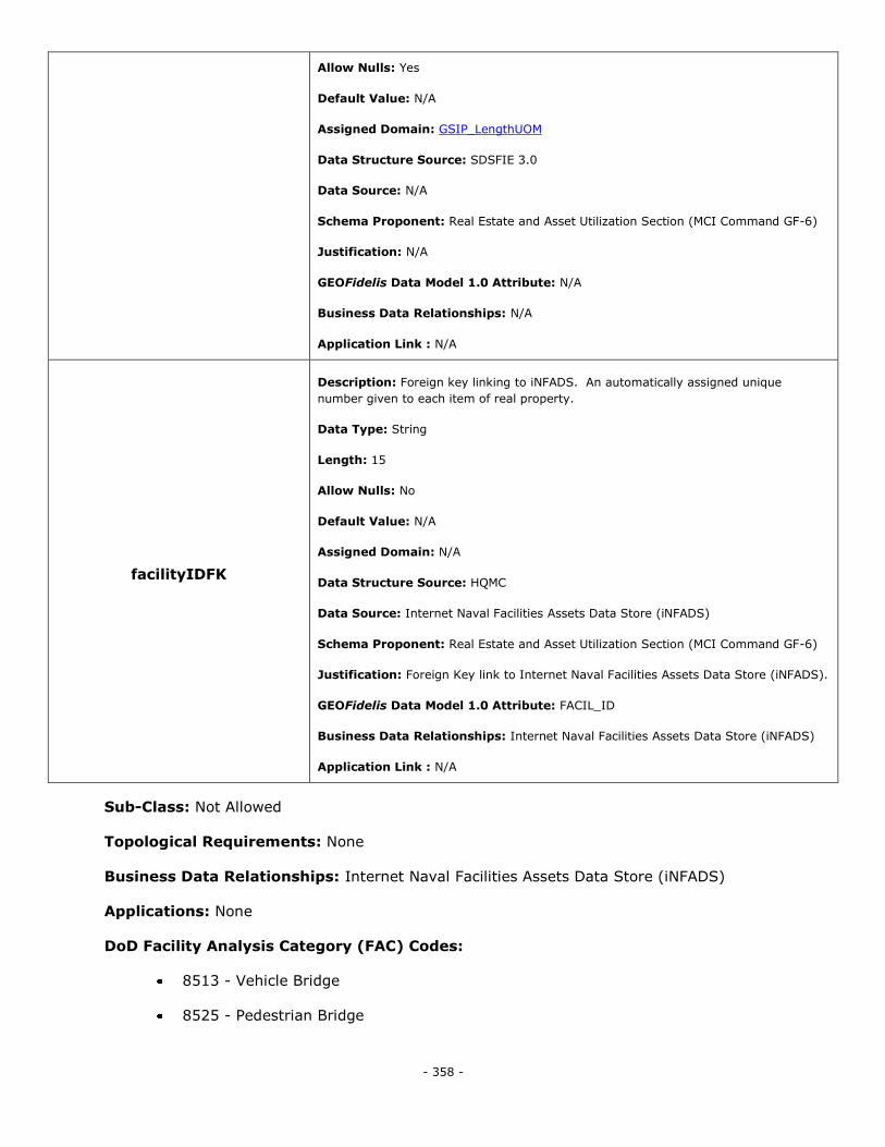
- 358 -
Allow Nulls: Yes
Default Value: N/A
Assigned Domain: GSIP_LengthUOM
Data Structure Source: SDSFIE 3.0
Data Source: N/A
Schema Proponent: Real Estate and Asset Utilization Section (MCI Command GF-6)
Justification: N/A
GEOFidelis Data Model 1.0 Attribute: N/A
Business Data Relationships: N/A
Application Link : N/A
facilityIDFK
Description: Foreign key linking to iNFADS. An automatically assigned unique
number given to each item of real property.
Data Type: String
Length: 15
Allow Nulls: No
Default Value: N/A
Assigned Domain: N/A
Data Structure Source: HQMC
Data Source: Internet Naval Facilities Assets Data Store (iNFADS)
Schema Proponent: Real Estate and Asset Utilization Section (MCI Command GF-6)
Justification: Foreign Key link to Internet Naval Facilities Assets Data Store (iNFADS).
GEOFidelis Data Model 1.0 Attribute: FACIL_ID
Business Data Relationships: Internet Naval Facilities Assets Data Store (iNFADS)
Application Link : N/A
Sub-Class: Not Allowed
Topological Requirements: None
Business Data Relationships: Internet Naval Facilities Assets Data Store (iNFADS)
Applications: None
DoD Facility Analysis Category (FAC) Codes:
8513 - Vehicle Bridge
8525 - Pedestrian Bridge
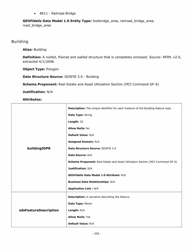
- 359 -
8611 - Railroad Bridge
GEOFidelis Data Model 1.0 Entity Type: footbridge_area, railroad_bridge_area,
road_bridge_area
Building
Alias: Building
Definition: A roofed, floored and walled structure that is completely enclosed. Source: RPIM, v2.0,
extracted 4/1/2008.
Object Type: Polygon
Data Structure Source: SDSFIE 3.0 - Building
Schema Proponent: Real Estate and Asset Utilization Section (MCI Command GF-6)
Justification: N/A
Attributes:
buildingIDPK
Description: The unique identifier for each instance of the Building feature type.
Data Type: String
Length: 20
Allow Nulls: No
Default Value: N/A
Assigned Domain: N/A
Data Structure Source: SDSFIE 3.0
Data Source: N/A
Schema Proponent: Real Estate and Asset Utilization Section (MCI Command GF-6)
Justification: N/A
GEOFidelis Data Model 1.0 Attribute: N/A
Business Data Relationships: N/A
Application Link : N/A
sdsFeatureDescription
Description: A narrative describing the feature.
Data Type: Memo
Length: N/A
Allow Nulls: Yes
Default Value: N/A
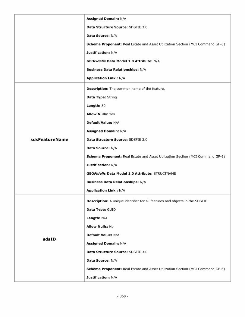
- 360 -
Assigned Domain: N/A
Data Structure Source: SDSFIE 3.0
Data Source: N/A
Schema Proponent: Real Estate and Asset Utilization Section (MCI Command GF-6)
Justification: N/A
GEOFidelis Data Model 1.0 Attribute: N/A
Business Data Relationships: N/A
Application Link : N/A
sdsFeatureName
Description: The common name of the feature.
Data Type: String
Length: 80
Allow Nulls: Yes
Default Value: N/A
Assigned Domain: N/A
Data Structure Source: SDSFIE 3.0
Data Source: N/A
Schema Proponent: Real Estate and Asset Utilization Section (MCI Command GF-6)
Justification: N/A
GEOFidelis Data Model 1.0 Attribute: STRUCTNAME
Business Data Relationships: N/A
Application Link : N/A
sdsID
Description: A unique identifier for all features and objects in the SDSFIE.
Data Type: GUID
Length: N/A
Allow Nulls: No
Default Value: N/A
Assigned Domain: N/A
Data Structure Source: SDSFIE 3.0
Data Source: N/A
Schema Proponent: Real Estate and Asset Utilization Section (MCI Command GF-6)
Justification: N/A
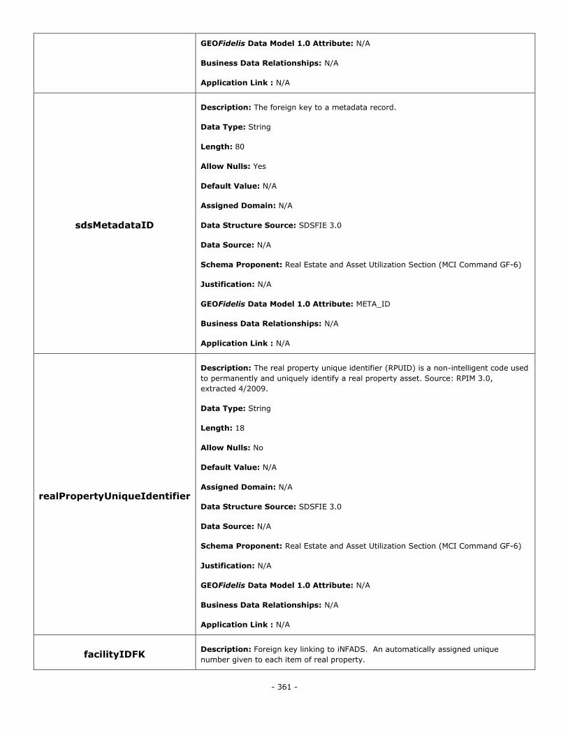
- 361 -
GEOFidelis Data Model 1.0 Attribute: N/A
Business Data Relationships: N/A
Application Link : N/A
sdsMetadataID
Description: The foreign key to a metadata record.
Data Type: String
Length: 80
Allow Nulls: Yes
Default Value: N/A
Assigned Domain: N/A
Data Structure Source: SDSFIE 3.0
Data Source: N/A
Schema Proponent: Real Estate and Asset Utilization Section (MCI Command GF-6)
Justification: N/A
GEOFidelis Data Model 1.0 Attribute: META_ID
Business Data Relationships: N/A
Application Link : N/A
realPropertyUniqueIdentifier
Description: The real property unique identifier (RPUID) is a non-intelligent code used
to permanently and uniquely identify a real property asset. Source: RPIM 3.0,
extracted 4/2009.
Data Type: String
Length: 18
Allow Nulls: No
Default Value: N/A
Assigned Domain: N/A
Data Structure Source: SDSFIE 3.0
Data Source: N/A
Schema Proponent: Real Estate and Asset Utilization Section (MCI Command GF-6)
Justification: N/A
GEOFidelis Data Model 1.0 Attribute: N/A
Business Data Relationships: N/A
Application Link : N/A
facilityIDFK Description: Foreign key linking to iNFADS. An automatically assigned unique
number given to each item of real property.
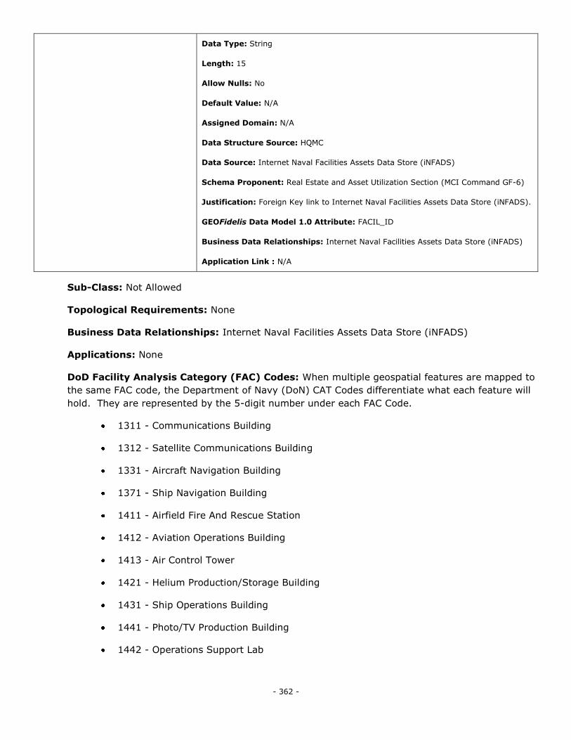
- 362 -
Data Type: String
Length: 15
Allow Nulls: No
Default Value: N/A
Assigned Domain: N/A
Data Structure Source: HQMC
Data Source: Internet Naval Facilities Assets Data Store (iNFADS)
Schema Proponent: Real Estate and Asset Utilization Section (MCI Command GF-6)
Justification: Foreign Key link to Internet Naval Facilities Assets Data Store (iNFADS).
GEOFidelis Data Model 1.0 Attribute: FACIL_ID
Business Data Relationships: Internet Naval Facilities Assets Data Store (iNFADS)
Application Link : N/A
Sub-Class: Not Allowed
Topological Requirements: None
Business Data Relationships: Internet Naval Facilities Assets Data Store (iNFADS)
Applications: None
DoD Facility Analysis Category (FAC) Codes: When multiple geospatial features are mapped to
the same FAC code, the Department of Navy (DoN) CAT Codes differentiate what each feature will
hold. They are represented by the 5-digit number under each FAC Code.
1311 - Communications Building
1312 - Satellite Communications Building
1331 - Aircraft Navigation Building
1371 - Ship Navigation Building
1411 - Airfield Fire And Rescue Station
1412 - Aviation Operations Building
1413 - Air Control Tower
1421 - Helium Production/Storage Building
1431 - Ship Operations Building
1441 - Photo/TV Production Building
1442 - Operations Support Lab
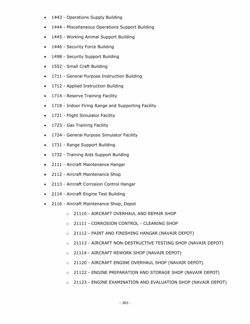
- 363 -
1443 - Operations Supply Building
1444 - Miscellaneous Operations Support Building
1445 - Working Animal Support Building
1446 - Security Force Building
1498 - Security Support Building
1552 - Small Craft Building
1711 - General Purpose Instruction Building
1712 - Applied Instruction Building
1714 - Reserve Training Facility
1718 - Indoor Firing Range and Supporting Facility
1721 - Flight Simulator Facility
1723 - Gas Training Facility
1724 - General Purpose Simulator Facility
1731 - Range Support Building
1732 - Training Aids Support Building
2111 - Aircraft Maintenance Hangar
2112 - Aircraft Maintenance Shop
2113 - Aircraft Corrosion Control Hangar
2114 - Aircraft Engine Test Building
2116 - Aircraft Maintenance Shop, Depot
o 21110 - AIRCRAFT OVERHAUL AND REPAIR SHOP
o 21111 - CORROSION CONTROL - CLEANING SHOP
o 21112 - PAINT AND FINISHING HANGAR (NAVAIR DEPOT)
o 21113 - AIRCRAFT NON-DESTRUCTIVE TESTING SHOP (NAVAIR DEPOT)
o 21114 - AIRCRAFT REWORK SHOP (NAVAIR DEPOT)
o 21120 - AIRCRAFT ENGINE OVERHAUL SHOP (NAVAIR DEPOT)
o 21122 - ENGINE PREPARATION AND STORAGE SHOP (NAVAIR DEPOT)
o 21123 - ENGINE EXAMINATION AND EVALUATION SHOP (NAVAIR DEPOT)
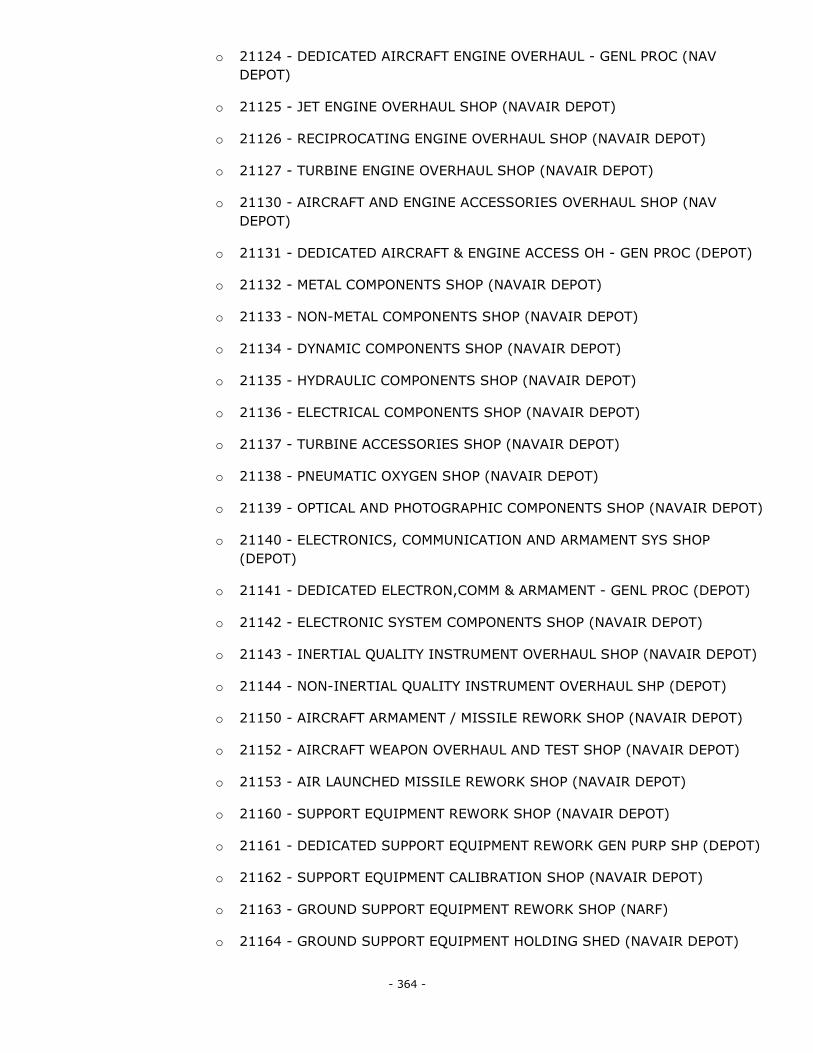
- 364 -
o 21124 - DEDICATED AIRCRAFT ENGINE OVERHAUL - GENL PROC (NAV
DEPOT)
o 21125 - JET ENGINE OVERHAUL SHOP (NAVAIR DEPOT)
o 21126 - RECIPROCATING ENGINE OVERHAUL SHOP (NAVAIR DEPOT)
o 21127 - TURBINE ENGINE OVERHAUL SHOP (NAVAIR DEPOT)
o 21130 - AIRCRAFT AND ENGINE ACCESSORIES OVERHAUL SHOP (NAV
DEPOT)
o 21131 - DEDICATED AIRCRAFT & ENGINE ACCESS OH - GEN PROC (DEPOT)
o 21132 - METAL COMPONENTS SHOP (NAVAIR DEPOT)
o 21133 - NON-METAL COMPONENTS SHOP (NAVAIR DEPOT)
o 21134 - DYNAMIC COMPONENTS SHOP (NAVAIR DEPOT)
o 21135 - HYDRAULIC COMPONENTS SHOP (NAVAIR DEPOT)
o 21136 - ELECTRICAL COMPONENTS SHOP (NAVAIR DEPOT)
o 21137 - TURBINE ACCESSORIES SHOP (NAVAIR DEPOT)
o 21138 - PNEUMATIC OXYGEN SHOP (NAVAIR DEPOT)
o 21139 - OPTICAL AND PHOTOGRAPHIC COMPONENTS SHOP (NAVAIR DEPOT)
o 21140 - ELECTRONICS, COMMUNICATION AND ARMAMENT SYS SHOP
(DEPOT)
o 21141 - DEDICATED ELECTRON,COMM & ARMAMENT - GENL PROC (DEPOT)
o 21142 - ELECTRONIC SYSTEM COMPONENTS SHOP (NAVAIR DEPOT)
o 21143 - INERTIAL QUALITY INSTRUMENT OVERHAUL SHOP (NAVAIR DEPOT)
o 21144 - NON-INERTIAL QUALITY INSTRUMENT OVERHAUL SHP (DEPOT)
o 21150 - AIRCRAFT ARMAMENT / MISSILE REWORK SHOP (NAVAIR DEPOT)
o 21152 - AIRCRAFT WEAPON OVERHAUL AND TEST SHOP (NAVAIR DEPOT)
o 21153 - AIR LAUNCHED MISSILE REWORK SHOP (NAVAIR DEPOT)
o 21160 - SUPPORT EQUIPMENT REWORK SHOP (NAVAIR DEPOT)
o 21161 - DEDICATED SUPPORT EQUIPMENT REWORK GEN PURP SHP (DEPOT)
o 21162 - SUPPORT EQUIPMENT CALIBRATION SHOP (NAVAIR DEPOT)
o 21163 - GROUND SUPPORT EQUIPMENT REWORK SHOP (NARF)
o 21164 - GROUND SUPPORT EQUIPMENT HOLDING SHED (NAVAIR DEPOT)
- 365 -
o 21170 - MANUFACTURING AND REPAIR SHOP (NAVAIR DEPOT)
o 21171 - DEDICATED MANUFACTURING & REPAIR GEN PURP SHP (DEPOT)
o 21172 - METAL FABRICATION / MANUFACTURING SHOP (NAVAIR DEPOT)
o 21173 - METAL TREATMENT SHOP (NAVAIR DEPOT)
o 21174 - NON-METAL FABRICATION / MANUFACTURING SHOP (NAVAIR
DEPOT)
o 21176 - MISCELLANEOUS PARTS / COMPONENTS REPR SHOP (NAVAIR
DEPOT)
o 21180 - TEST AND CALIBRATION SHOP (NAVAIR DEPOT)
o 21182 - AIRCRAFT WEAPONS ALIGNMENT SHELTER (NON-NAVAIR DEPOT)
o 21198 - AIRCRAFT ACOUSTICAL ENCLOSURE (NAVAIR DEPOT)
2121 - Missile Maintenance/Assembly Building
2123 - Missile/Launcher Maintenance Support Facility
2126 - Intercontinental Ballistic Missile Processing Facility
2133 - Marine Maintenance Shop
2134 - Marine Maintenance Support Facility
2136 - Nuclear Repair Shop
2141 - Vehicle Maintenance Shop
2151 - Weapon Maintenance Shop
2152 - Weapon Maintenance Shop, Depot
2153 - Special Weapon Maintenance Shop
2161 - Ammunition Maintenance Shop
2162 - Ammunition Maintenance Shop, Depot
2171 - Electronic and Communication Maintenance Shop
2181 - Installation Support Vehicle Maintenance Shop
2182 - Installation Support Equipment Maintenance Shop
2183 - Railroad Equipment Shop
2184 - Parachute And Dingy Maintenance Shop
2191 - Facility Engineer Maintenance Shop
2211 - Aircraft Production Plant
- 366 -
2221 - Missile Production Plant
2231 - Ship Production Plant
2241 - Tank/Automotive Production Plant
2251 - Weapon Production Plant
2261 - Ammunition Production Plant
2264 - Ammunition Demilitarization Plant
2271 - Electronic and Communication Production Plant
2281 - Miscellaneous Support Production Plant
3101 - RDT&E Laboratory
3102 - Medical Research Laboratory
3103 - Biosafety Level 3 Laboratory
3104 - Biosafety Level 4 Laboratory
3111 - Aircraft RDT&E Facility
3121 - Missile and Space RDT&E Facility
3131 - Ship and Marine RDT&E Facility
3141 - Tank and Automotive RDT&E Facility
3151 - Weapons RDT&E Facility
3161 - Ammunition, Explosive, and Toxic RDT&E Facility
3171 - Electronic and Communication RDT&E Facility
3181 - Propulsion RDT&E Facility
3191 - Miscellaneous Item and Equipment RDT&E Facility
3201 - Underwater Equipment RDT&E Facility
3211 - RDT&E Technical Service Facility
4122 - Liquid Oxygen Storage
4211 - Ammunition Storage, Depot and Arsenal
o 42132 - INERT STOREHOUSE
o 42142 - SMOKEDRUM STOREHOUSE
4212 - Intercontinental Ballistic Missile Storage Facility
4241 - Battery Storage, Weapon Related
- 367 -
4311 - Cold Storage, Depot
4321 - Cold Storage, Installation
4411 - Covered Storage Building, Depot
4412 - Covered Storage Shed, Depot
4413 - Hazardous Materials Storage, Depot
4421 - Covered Storage Building, Installation
4422 - Covered Storage Shed, Installation
4423 - Hazardous Materials Storage, Installation
4424 - Controlled Humidity Storage, Installation
4427 - Small Arms Storage, Installation
5100 - Hospital
5302 - Medical Laboratory
5303 - Morgue
5304 - Veterinary Facility
5306 - Medical Warehouse
5307 - Ambulance Shelter
5400 - Dental Facility
5500 - Dispensary And Clinic
5501 - Ambulatory Care Clinic
6100 - General Administrative Building
6101 - Small Unit Headquarters Building
6102 - Large Unit Headquarters Building
6103 - Printing And Reproduction Plant
6104 - Automated Data Processing Center
6200 - Administrative Structure, Underground
7110 - Family Housing Dwelling
7141 - Family Housing Garage/Carport
7142 - Family Housing Storage Facility
7143 - Miscellaneous Family Housing Support Facility
- 368 -
7210 - Enlisted Unaccompanied Personnel Housing
7212 - Enlisted Unaccompanied Personnel Housing, Transient
7213 - Student Barracks
7215 - Unaccompanied Housing for Wounded Warriors
7218 - Recruit/Trainee Barracks
7220 - Dining Facility
7231 - Miscellaneous UPH Support Building
7232 - Unaccompanied Personnel Housing Garage/Carport
7233 - Dining Support Facility
7234 - Latrine/Shower Facility
7240 - Officer Unaccompanied Personnel Housing
7241 - Officer UPH, Transient
7250 - Emergency Unaccompanied Personnel Housing
7311 - Fire Station Facility
7312 - Prison/Confinement Facility
7313 - Police Station
7314 - Drug and Alcohol Abuse Center
7321 - Bread/Pastry Kitchen
7322 - Ice/Dairy Products Plant
7331 - Exchange Eating Facility
7332 - Non-Exchange Eating Facility
7333 - Open Mess and Club Facility
7340 - Thrift Shop
7341 - Bus Station
7342 - Laundry/Dry Cleaning Facility
7343 - Clothing Sales Store
7344 - Postal Facility
7345 - Exchange Automobile Facility
7346 - Exchange Sales Facility
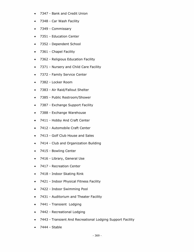
- 369 -
7347 - Bank and Credit Union
7348 - Car Wash Facility
7349 - Commissary
7351 - Education Center
7352 - Dependent School
7361 - Chapel Facility
7362 - Religious Education Facility
7371 - Nursery and Child Care Facility
7372 - Family Service Center
7382 - Locker Room
7383 - Air Raid/Fallout Shelter
7385 - Public Restroom/Shower
7387 - Exchange Support Facility
7388 - Exchange Warehouse
7411 - Hobby And Craft Center
7412 - Automobile Craft Center
7413 - Golf Club House and Sales
7414 - Club and Organization Building
7415 - Bowling Center
7416 - Library, General Use
7417 - Recreation Center
7418 - Indoor Skating Rink
7421 - Indoor Physical Fitness Facility
7422 - Indoor Swimming Pool
7431 - Auditorium and Theater Facility
7441 - Transient Lodging
7442 - Recreational Lodging
7443 - Transient And Recreational Lodging Support Facility
7444 - Stable
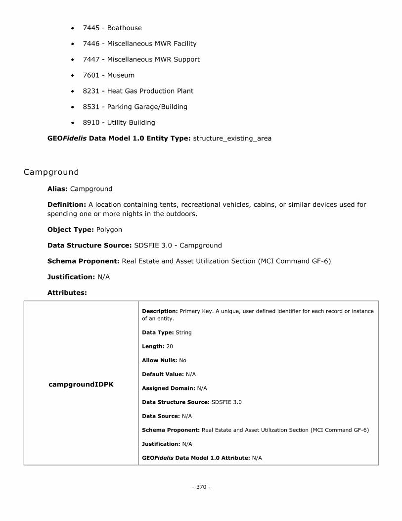
- 370 -
7445 - Boathouse
7446 - Miscellaneous MWR Facility
7447 - Miscellaneous MWR Support
7601 - Museum
8231 - Heat Gas Production Plant
8531 - Parking Garage/Building
8910 - Utility Building
GEOFidelis Data Model 1.0 Entity Type: structure_existing_area
Campground
Alias: Campground
Definition: A location containing tents, recreational vehicles, cabins, or similar devices used for
spending one or more nights in the outdoors.
Object Type: Polygon
Data Structure Source: SDSFIE 3.0 - Campground
Schema Proponent: Real Estate and Asset Utilization Section (MCI Command GF-6)
Justification: N/A
Attributes:
campgroundIDPK
Description: Primary Key. A unique, user defined identifier for each record or instance
of an entity.
Data Type: String
Length: 20
Allow Nulls: No
Default Value: N/A
Assigned Domain: N/A
Data Structure Source: SDSFIE 3.0
Data Source: N/A
Schema Proponent: Real Estate and Asset Utilization Section (MCI Command GF-6)
Justification: N/A
GEOFidelis Data Model 1.0 Attribute: N/A
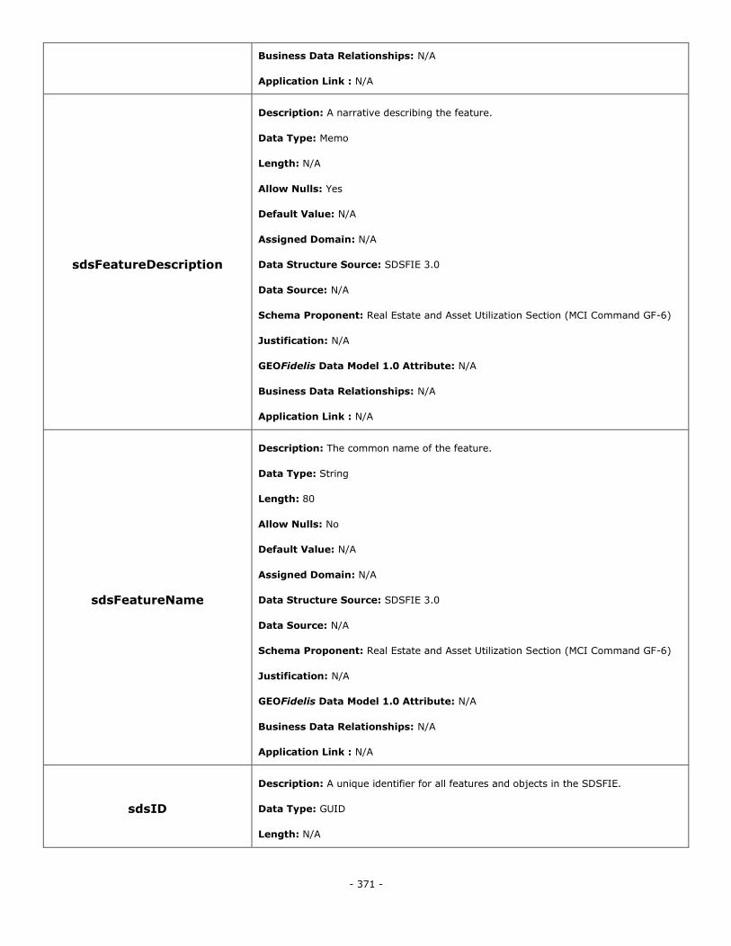
- 371 -
Business Data Relationships: N/A
Application Link : N/A
sdsFeatureDescription
Description: A narrative describing the feature.
Data Type: Memo
Length: N/A
Allow Nulls: Yes
Default Value: N/A
Assigned Domain: N/A
Data Structure Source: SDSFIE 3.0
Data Source: N/A
Schema Proponent: Real Estate and Asset Utilization Section (MCI Command GF-6)
Justification: N/A
GEOFidelis Data Model 1.0 Attribute: N/A
Business Data Relationships: N/A
Application Link : N/A
sdsFeatureName
Description: The common name of the feature.
Data Type: String
Length: 80
Allow Nulls: No
Default Value: N/A
Assigned Domain: N/A
Data Structure Source: SDSFIE 3.0
Data Source: N/A
Schema Proponent: Real Estate and Asset Utilization Section (MCI Command GF-6)
Justification: N/A
GEOFidelis Data Model 1.0 Attribute: N/A
Business Data Relationships: N/A
Application Link : N/A
sdsID
Description: A unique identifier for all features and objects in the SDSFIE.
Data Type: GUID
Length: N/A
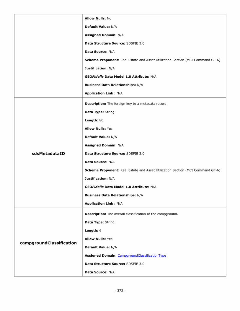
- 372 -
Allow Nulls: No
Default Value: N/A
Assigned Domain: N/A
Data Structure Source: SDSFIE 3.0
Data Source: N/A
Schema Proponent: Real Estate and Asset Utilization Section (MCI Command GF-6)
Justification: N/A
GEOFidelis Data Model 1.0 Attribute: N/A
Business Data Relationships: N/A
Application Link : N/A
sdsMetadataID
Description: The foreign key to a metadata record.
Data Type: String
Length: 80
Allow Nulls: Yes
Default Value: N/A
Assigned Domain: N/A
Data Structure Source: SDSFIE 3.0
Data Source: N/A
Schema Proponent: Real Estate and Asset Utilization Section (MCI Command GF-6)
Justification: N/A
GEOFidelis Data Model 1.0 Attribute: N/A
Business Data Relationships: N/A
Application Link : N/A
campgroundClassification
Description: The overall classification of the campground.
Data Type: String
Length: 6
Allow Nulls: Yes
Default Value: N/A
Assigned Domain: CampgroundClassificationType
Data Structure Source: SDSFIE 3.0
Data Source: N/A
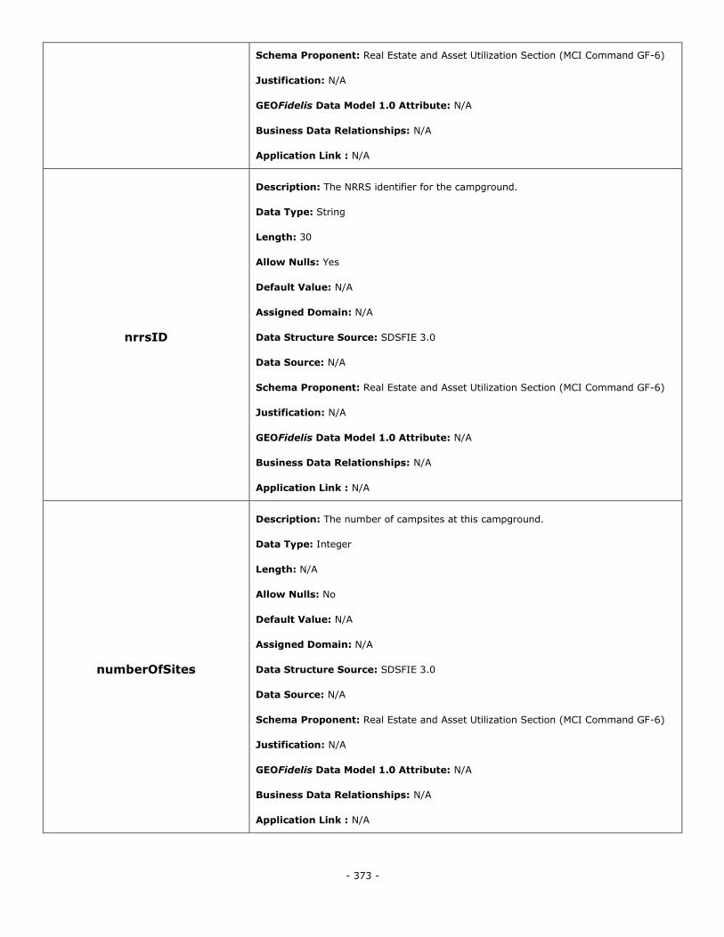
- 373 -
Schema Proponent: Real Estate and Asset Utilization Section (MCI Command GF-6)
Justification: N/A
GEOFidelis Data Model 1.0 Attribute: N/A
Business Data Relationships: N/A
Application Link : N/A
nrrsID
Description: The NRRS identifier for the campground.
Data Type: String
Length: 30
Allow Nulls: Yes
Default Value: N/A
Assigned Domain: N/A
Data Structure Source: SDSFIE 3.0
Data Source: N/A
Schema Proponent: Real Estate and Asset Utilization Section (MCI Command GF-6)
Justification: N/A
GEOFidelis Data Model 1.0 Attribute: N/A
Business Data Relationships: N/A
Application Link : N/A
numberOfSites
Description: The number of campsites at this campground.
Data Type: Integer
Length: N/A
Allow Nulls: No
Default Value: N/A
Assigned Domain: N/A
Data Structure Source: SDSFIE 3.0
Data Source: N/A
Schema Proponent: Real Estate and Asset Utilization Section (MCI Command GF-6)
Justification: N/A
GEOFidelis Data Model 1.0 Attribute: N/A
Business Data Relationships: N/A
Application Link : N/A
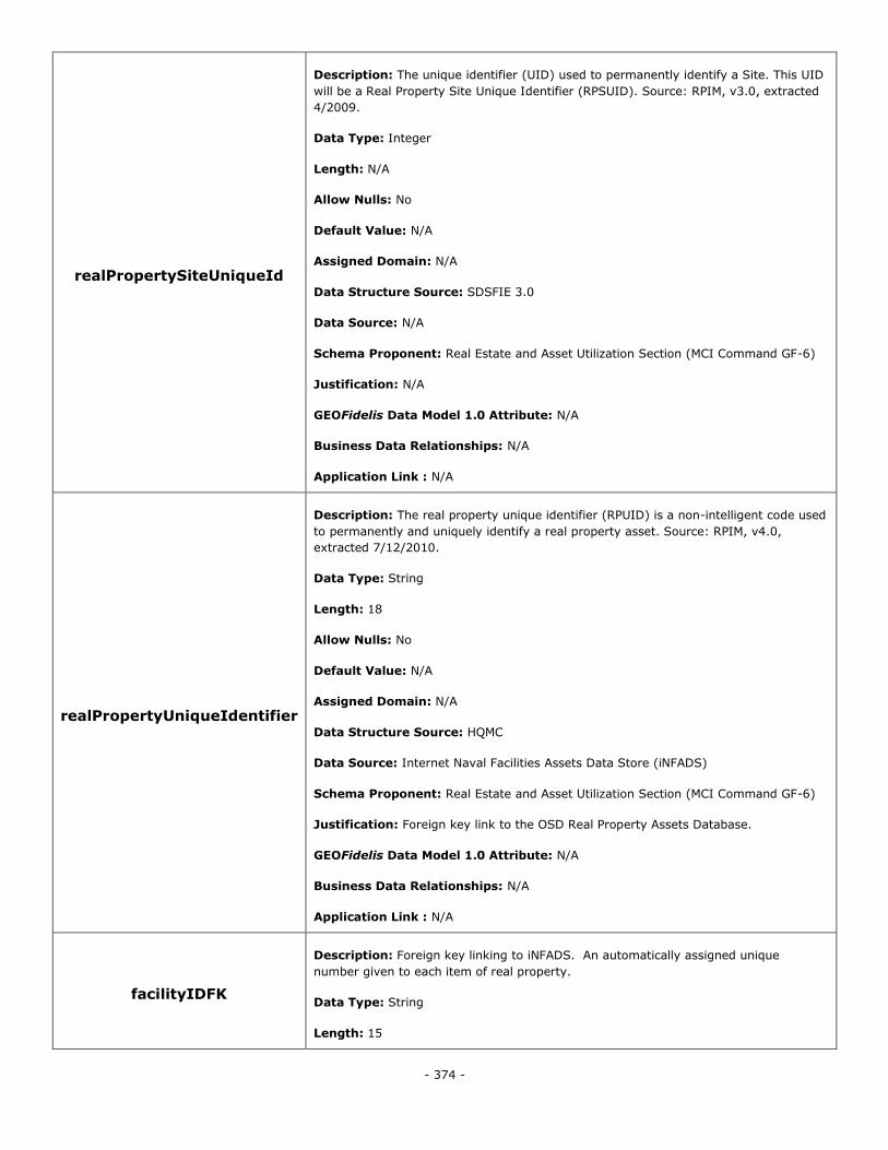
- 374 -
realPropertySiteUniqueId
Description: The unique identifier (UID) used to permanently identify a Site. This UID
will be a Real Property Site Unique Identifier (RPSUID). Source: RPIM, v3.0, extracted
4/2009.
Data Type: Integer
Length: N/A
Allow Nulls: No
Default Value: N/A
Assigned Domain: N/A
Data Structure Source: SDSFIE 3.0
Data Source: N/A
Schema Proponent: Real Estate and Asset Utilization Section (MCI Command GF-6)
Justification: N/A
GEOFidelis Data Model 1.0 Attribute: N/A
Business Data Relationships: N/A
Application Link : N/A
realPropertyUniqueIdentifier
Description: The real property unique identifier (RPUID) is a non-intelligent code used
to permanently and uniquely identify a real property asset. Source: RPIM, v4.0,
extracted 7/12/2010.
Data Type: String
Length: 18
Allow Nulls: No
Default Value: N/A
Assigned Domain: N/A
Data Structure Source: HQMC
Data Source: Internet Naval Facilities Assets Data Store (iNFADS)
Schema Proponent: Real Estate and Asset Utilization Section (MCI Command GF-6)
Justification: Foreign key link to the OSD Real Property Assets Database.
GEOFidelis Data Model 1.0 Attribute: N/A
Business Data Relationships: N/A
Application Link : N/A
facilityIDFK
Description: Foreign key linking to iNFADS. An automatically assigned unique
number given to each item of real property.
Data Type: String
Length: 15
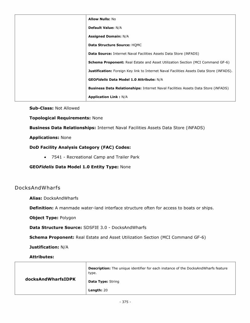
- 375 -
Allow Nulls: No
Default Value: N/A
Assigned Domain: N/A
Data Structure Source: HQMC
Data Source: Internet Naval Facilities Assets Data Store (iNFADS)
Schema Proponent: Real Estate and Asset Utilization Section (MCI Command GF-6)
Justification: Foreign Key link to Internet Naval Facilities Assets Data Store (iNFADS).
GEOFidelis Data Model 1.0 Attribute: N/A
Business Data Relationships: Internet Naval Facilities Assets Data Store (iNFADS)
Application Link : N/A
Sub-Class: Not Allowed
Topological Requirements: None
Business Data Relationships: Internet Naval Facilities Assets Data Store (iNFADS)
Applications: None
DoD Facility Analysis Category (FAC) Codes:
7541 - Recreational Camp and Trailer Park
GEOFidelis Data Model 1.0 Entity Type: None
DocksAndWharfs
Alias: DocksAndWharfs
Definition: A manmade water-land interface structure often for access to boats or ships.
Object Type: Polygon
Data Structure Source: SDSFIE 3.0 - DocksAndWharfs
Schema Proponent: Real Estate and Asset Utilization Section (MCI Command GF-6)
Justification: N/A
Attributes:
docksAndWharfsIDPK
Description: The unique identifier for each instance of the DocksAndWharfs feature
type.
Data Type: String
Length: 20
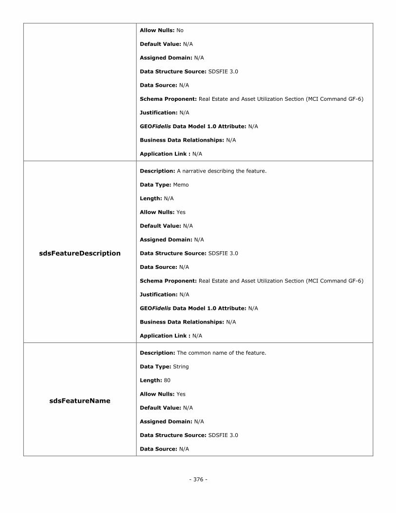
- 376 -
Allow Nulls: No
Default Value: N/A
Assigned Domain: N/A
Data Structure Source: SDSFIE 3.0
Data Source: N/A
Schema Proponent: Real Estate and Asset Utilization Section (MCI Command GF-6)
Justification: N/A
GEOFidelis Data Model 1.0 Attribute: N/A
Business Data Relationships: N/A
Application Link : N/A
sdsFeatureDescription
Description: A narrative describing the feature.
Data Type: Memo
Length: N/A
Allow Nulls: Yes
Default Value: N/A
Assigned Domain: N/A
Data Structure Source: SDSFIE 3.0
Data Source: N/A
Schema Proponent: Real Estate and Asset Utilization Section (MCI Command GF-6)
Justification: N/A
GEOFidelis Data Model 1.0 Attribute: N/A
Business Data Relationships: N/A
Application Link : N/A
sdsFeatureName
Description: The common name of the feature.
Data Type: String
Length: 80
Allow Nulls: Yes
Default Value: N/A
Assigned Domain: N/A
Data Structure Source: SDSFIE 3.0
Data Source: N/A
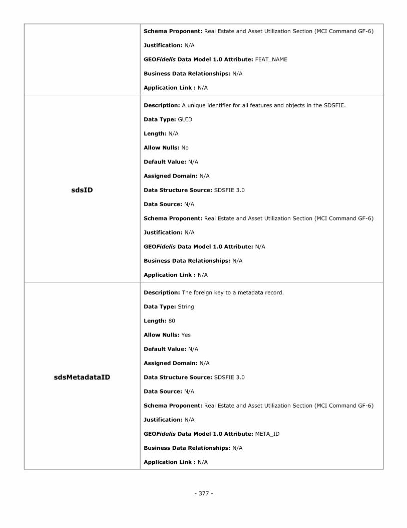
- 377 -
Schema Proponent: Real Estate and Asset Utilization Section (MCI Command GF-6)
Justification: N/A
GEOFidelis Data Model 1.0 Attribute: FEAT_NAME
Business Data Relationships: N/A
Application Link : N/A
sdsID
Description: A unique identifier for all features and objects in the SDSFIE.
Data Type: GUID
Length: N/A
Allow Nulls: No
Default Value: N/A
Assigned Domain: N/A
Data Structure Source: SDSFIE 3.0
Data Source: N/A
Schema Proponent: Real Estate and Asset Utilization Section (MCI Command GF-6)
Justification: N/A
GEOFidelis Data Model 1.0 Attribute: N/A
Business Data Relationships: N/A
Application Link : N/A
sdsMetadataID
Description: The foreign key to a metadata record.
Data Type: String
Length: 80
Allow Nulls: Yes
Default Value: N/A
Assigned Domain: N/A
Data Structure Source: SDSFIE 3.0
Data Source: N/A
Schema Proponent: Real Estate and Asset Utilization Section (MCI Command GF-6)
Justification: N/A
GEOFidelis Data Model 1.0 Attribute: META_ID
Business Data Relationships: N/A
Application Link : N/A
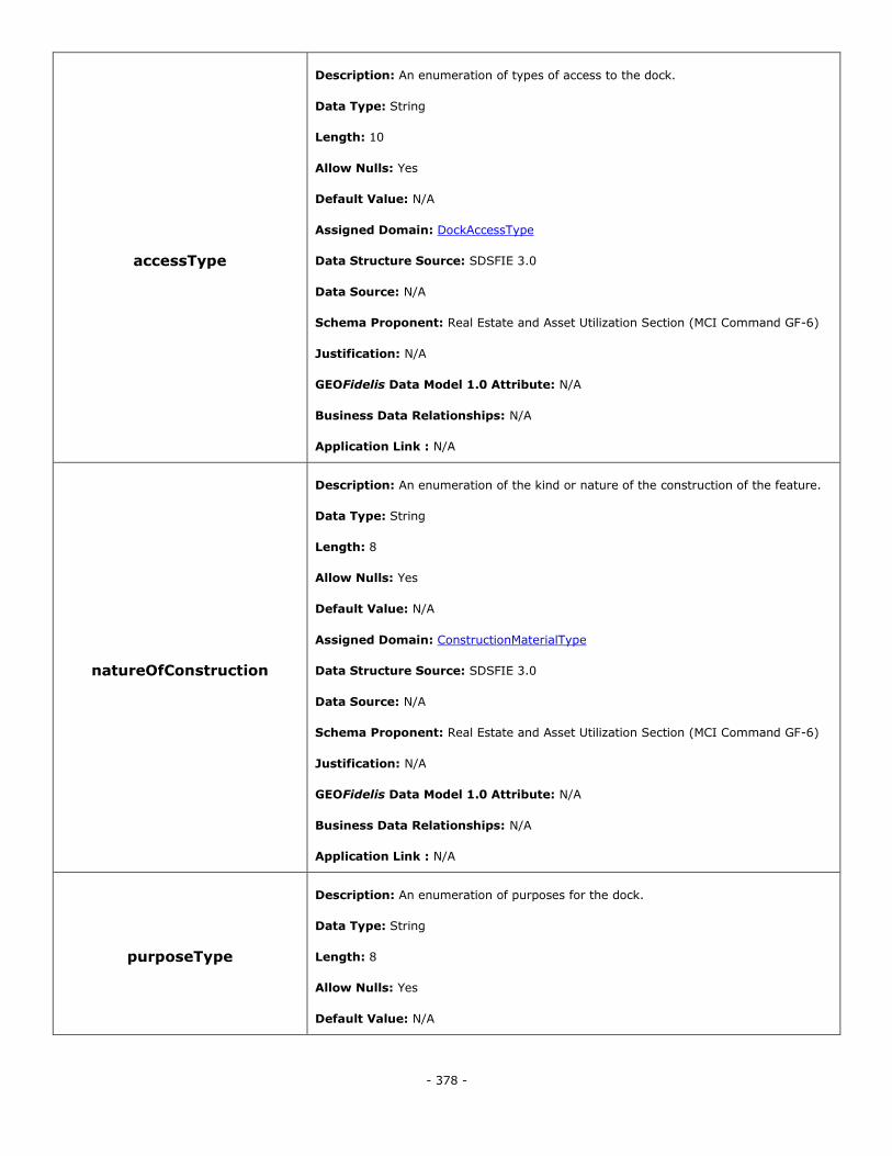
- 378 -
accessType
Description: An enumeration of types of access to the dock.
Data Type: String
Length: 10
Allow Nulls: Yes
Default Value: N/A
Assigned Domain: DockAccessType
Data Structure Source: SDSFIE 3.0
Data Source: N/A
Schema Proponent: Real Estate and Asset Utilization Section (MCI Command GF-6)
Justification: N/A
GEOFidelis Data Model 1.0 Attribute: N/A
Business Data Relationships: N/A
Application Link : N/A
natureOfConstruction
Description: An enumeration of the kind or nature of the construction of the feature.
Data Type: String
Length: 8
Allow Nulls: Yes
Default Value: N/A
Assigned Domain: ConstructionMaterialType
Data Structure Source: SDSFIE 3.0
Data Source: N/A
Schema Proponent: Real Estate and Asset Utilization Section (MCI Command GF-6)
Justification: N/A
GEOFidelis Data Model 1.0 Attribute: N/A
Business Data Relationships: N/A
Application Link : N/A
purposeType
Description: An enumeration of purposes for the dock.
Data Type: String
Length: 8
Allow Nulls: Yes
Default Value: N/A
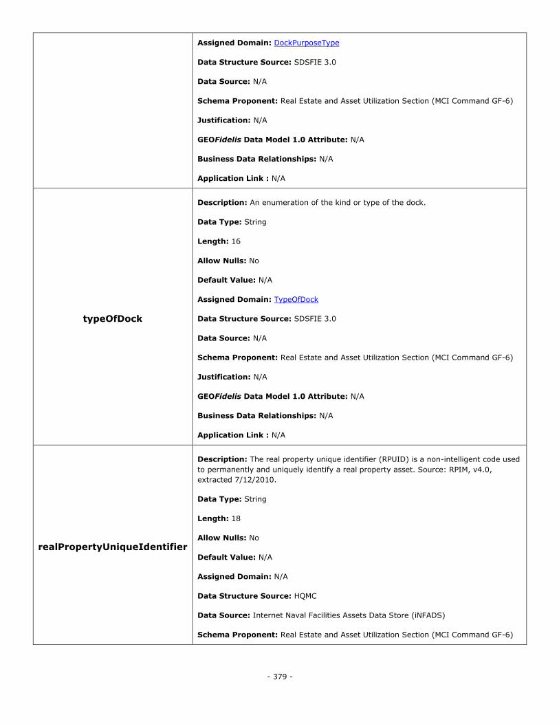
- 379 -
Assigned Domain: DockPurposeType
Data Structure Source: SDSFIE 3.0
Data Source: N/A
Schema Proponent: Real Estate and Asset Utilization Section (MCI Command GF-6)
Justification: N/A
GEOFidelis Data Model 1.0 Attribute: N/A
Business Data Relationships: N/A
Application Link : N/A
typeOfDock
Description: An enumeration of the kind or type of the dock.
Data Type: String
Length: 16
Allow Nulls: No
Default Value: N/A
Assigned Domain: TypeOfDock
Data Structure Source: SDSFIE 3.0
Data Source: N/A
Schema Proponent: Real Estate and Asset Utilization Section (MCI Command GF-6)
Justification: N/A
GEOFidelis Data Model 1.0 Attribute: N/A
Business Data Relationships: N/A
Application Link : N/A
realPropertyUniqueIdentifier
Description: The real property unique identifier (RPUID) is a non-intelligent code used
to permanently and uniquely identify a real property asset. Source: RPIM, v4.0,
extracted 7/12/2010.
Data Type: String
Length: 18
Allow Nulls: No
Default Value: N/A
Assigned Domain: N/A
Data Structure Source: HQMC
Data Source: Internet Naval Facilities Assets Data Store (iNFADS)
Schema Proponent: Real Estate and Asset Utilization Section (MCI Command GF-6)
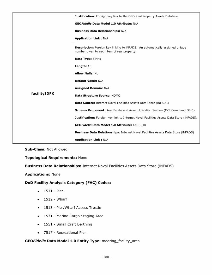
- 380 -
Justification: Foreign key link to the OSD Real Property Assets Database.
GEOFidelis Data Model 1.0 Attribute: N/A
Business Data Relationships: N/A
Application Link : N/A
facilityIDFK
Description: Foreign key linking to iNFADS. An automatically assigned unique
number given to each item of real property.
Data Type: String
Length: 15
Allow Nulls: No
Default Value: N/A
Assigned Domain: N/A
Data Structure Source: HQMC
Data Source: Internet Naval Facilities Assets Data Store (iNFADS)
Schema Proponent: Real Estate and Asset Utilization Section (MCI Command GF-6)
Justification: Foreign Key link to Internet Naval Facilities Assets Data Store (iNFADS).
GEOFidelis Data Model 1.0 Attribute: FACIL_ID
Business Data Relationships: Internet Naval Facilities Assets Data Store (iNFADS)
Application Link : N/A
Sub-Class: Not Allowed
Topological Requirements: None
Business Data Relationships: Internet Naval Facilities Assets Data Store (iNFADS)
Applications: None
DoD Facility Analysis Category (FAC) Codes:
1511 - Pier
1512 - Wharf
1513 - Pier/Wharf Access Trestle
1531 - Marine Cargo Staging Area
1551 - Small Craft Berthing
7517 - Recreational Pier
GEOFidelis Data Model 1.0 Entity Type: mooring_facility_area
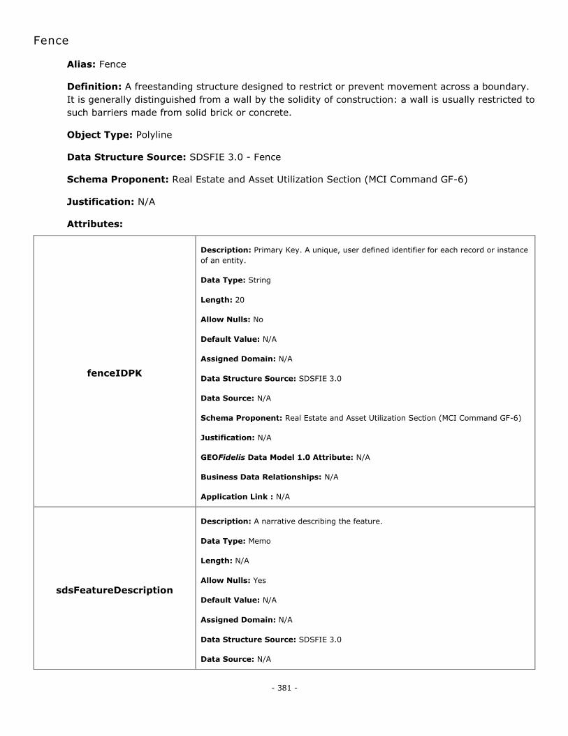
- 381 -
Fence
Alias: Fence
Definition: A freestanding structure designed to restrict or prevent movement across a boundary.
It is generally distinguished from a wall by the solidity of construction: a wall is usually restricted to
such barriers made from solid brick or concrete.
Object Type: Polyline
Data Structure Source: SDSFIE 3.0 - Fence
Schema Proponent: Real Estate and Asset Utilization Section (MCI Command GF-6)
Justification: N/A
Attributes:
fenceIDPK
Description: Primary Key. A unique, user defined identifier for each record or instance
of an entity.
Data Type: String
Length: 20
Allow Nulls: No
Default Value: N/A
Assigned Domain: N/A
Data Structure Source: SDSFIE 3.0
Data Source: N/A
Schema Proponent: Real Estate and Asset Utilization Section (MCI Command GF-6)
Justification: N/A
GEOFidelis Data Model 1.0 Attribute: N/A
Business Data Relationships: N/A
Application Link : N/A
sdsFeatureDescription
Description: A narrative describing the feature.
Data Type: Memo
Length: N/A
Allow Nulls: Yes
Default Value: N/A
Assigned Domain: N/A
Data Structure Source: SDSFIE 3.0
Data Source: N/A

- 382 -
Schema Proponent: Real Estate and Asset Utilization Section (MCI Command GF-6)
Justification: N/A
GEOFidelis Data Model 1.0 Attribute: N/A
Business Data Relationships: N/A
Application Link : N/A
sdsFeatureName
Description: The common name of the feature.
Data Type: String
Length: 80
Allow Nulls: Yes
Default Value: N/A
Assigned Domain: N/A
Data Structure Source: SDSFIE 3.0
Data Source: N/A
Schema Proponent: Real Estate and Asset Utilization Section (MCI Command GF-6)
Justification: N/A
GEOFidelis Data Model 1.0 Attribute: N/A
Business Data Relationships: N/A
Application Link : N/A
sdsID
Description: A unique identifier for all features and objects in the SDSFIE.
Data Type: GUID
Length: N/A
Allow Nulls: No
Default Value: N/A
Assigned Domain: N/A
Data Structure Source: SDSFIE 3.0
Data Source: N/A
Schema Proponent: Real Estate and Asset Utilization Section (MCI Command GF-6)
Justification: N/A
GEOFidelis Data Model 1.0 Attribute: N/A
Business Data Relationships: N/A
Application Link : N/A
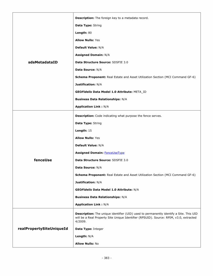
- 383 -
sdsMetadataID
Description: The foreign key to a metadata record.
Data Type: String
Length: 80
Allow Nulls: Yes
Default Value: N/A
Assigned Domain: N/A
Data Structure Source: SDSFIE 3.0
Data Source: N/A
Schema Proponent: Real Estate and Asset Utilization Section (MCI Command GF-6)
Justification: N/A
GEOFidelis Data Model 1.0 Attribute: META_ID
Business Data Relationships: N/A
Application Link : N/A
fenceUse
Description: Code indicating what purpose the fence serves.
Data Type: String
Length: 15
Allow Nulls: Yes
Default Value: N/A
Assigned Domain: FenceUseType
Data Structure Source: SDSFIE 3.0
Data Source: N/A
Schema Proponent: Real Estate and Asset Utilization Section (MCI Command GF-6)
Justification: N/A
GEOFidelis Data Model 1.0 Attribute: N/A
Business Data Relationships: N/A
Application Link : N/A
realPropertySiteUniqueId
Description: The unique identifier (UID) used to permanently identify a Site. This UID
will be a Real Property Site Unique Identifier (RPSUID). Source: RPIM, v3.0, extracted
4/2009.
Data Type: Integer
Length: N/A
Allow Nulls: No
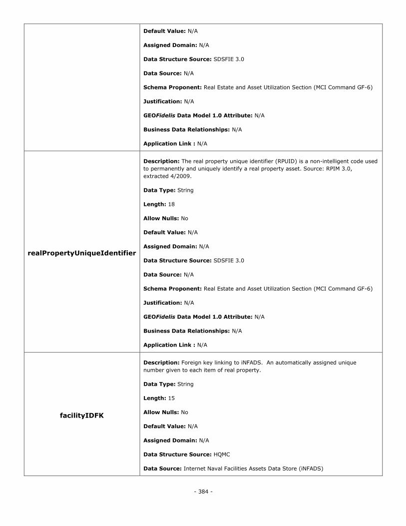
- 384 -
Default Value: N/A
Assigned Domain: N/A
Data Structure Source: SDSFIE 3.0
Data Source: N/A
Schema Proponent: Real Estate and Asset Utilization Section (MCI Command GF-6)
Justification: N/A
GEOFidelis Data Model 1.0 Attribute: N/A
Business Data Relationships: N/A
Application Link : N/A
realPropertyUniqueIdentifier
Description: The real property unique identifier (RPUID) is a non-intelligent code used
to permanently and uniquely identify a real property asset. Source: RPIM 3.0,
extracted 4/2009.
Data Type: String
Length: 18
Allow Nulls: No
Default Value: N/A
Assigned Domain: N/A
Data Structure Source: SDSFIE 3.0
Data Source: N/A
Schema Proponent: Real Estate and Asset Utilization Section (MCI Command GF-6)
Justification: N/A
GEOFidelis Data Model 1.0 Attribute: N/A
Business Data Relationships: N/A
Application Link : N/A
facilityIDFK
Description: Foreign key linking to iNFADS. An automatically assigned unique
number given to each item of real property.
Data Type: String
Length: 15
Allow Nulls: No
Default Value: N/A
Assigned Domain: N/A
Data Structure Source: HQMC
Data Source: Internet Naval Facilities Assets Data Store (iNFADS)
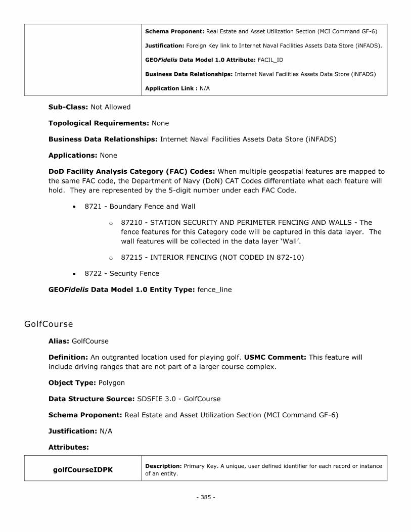
- 385 -
Schema Proponent: Real Estate and Asset Utilization Section (MCI Command GF-6)
Justification: Foreign Key link to Internet Naval Facilities Assets Data Store (iNFADS).
GEOFidelis Data Model 1.0 Attribute: FACIL_ID
Business Data Relationships: Internet Naval Facilities Assets Data Store (iNFADS)
Application Link : N/A
Sub-Class: Not Allowed
Topological Requirements: None
Business Data Relationships: Internet Naval Facilities Assets Data Store (iNFADS)
Applications: None
DoD Facility Analysis Category (FAC) Codes: When multiple geospatial features are mapped to
the same FAC code, the Department of Navy (DoN) CAT Codes differentiate what each feature will
hold. They are represented by the 5-digit number under each FAC Code.
8721 - Boundary Fence and Wall
o 87210 - STATION SECURITY AND PERIMETER FENCING AND WALLS - The
fence features for this Category code will be captured in this data layer. The
wall features will be collected in the data layer ‗Wall‘.
o 87215 - INTERIOR FENCING (NOT CODED IN 872-10)
8722 - Security Fence
GEOFidelis Data Model 1.0 Entity Type: fence_line
GolfCourse
Alias: GolfCourse
Definition: An outgranted location used for playing golf. USMC Comment: This feature will
include driving ranges that are not part of a larger course complex.
Object Type: Polygon
Data Structure Source: SDSFIE 3.0 - GolfCourse
Schema Proponent: Real Estate and Asset Utilization Section (MCI Command GF-6)
Justification: N/A
Attributes:
golfCourseIDPK Description: Primary Key. A unique, user defined identifier for each record or instance
of an entity.
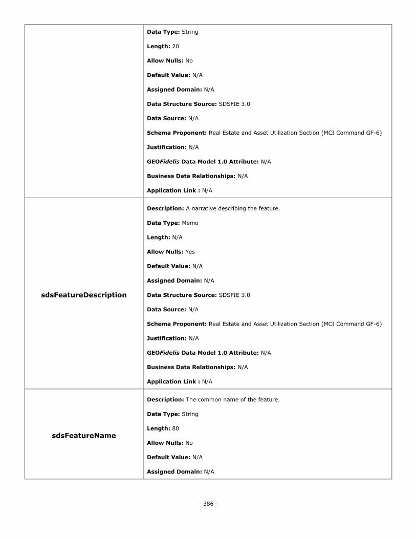
- 386 -
Data Type: String
Length: 20
Allow Nulls: No
Default Value: N/A
Assigned Domain: N/A
Data Structure Source: SDSFIE 3.0
Data Source: N/A
Schema Proponent: Real Estate and Asset Utilization Section (MCI Command GF-6)
Justification: N/A
GEOFidelis Data Model 1.0 Attribute: N/A
Business Data Relationships: N/A
Application Link : N/A
sdsFeatureDescription
Description: A narrative describing the feature.
Data Type: Memo
Length: N/A
Allow Nulls: Yes
Default Value: N/A
Assigned Domain: N/A
Data Structure Source: SDSFIE 3.0
Data Source: N/A
Schema Proponent: Real Estate and Asset Utilization Section (MCI Command GF-6)
Justification: N/A
GEOFidelis Data Model 1.0 Attribute: N/A
Business Data Relationships: N/A
Application Link : N/A
sdsFeatureName
Description: The common name of the feature.
Data Type: String
Length: 80
Allow Nulls: No
Default Value: N/A
Assigned Domain: N/A
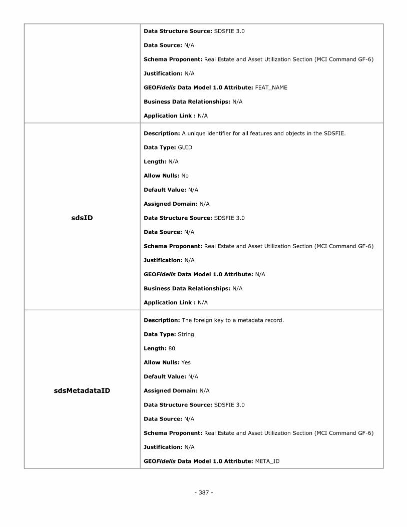
- 387 -
Data Structure Source: SDSFIE 3.0
Data Source: N/A
Schema Proponent: Real Estate and Asset Utilization Section (MCI Command GF-6)
Justification: N/A
GEOFidelis Data Model 1.0 Attribute: FEAT_NAME
Business Data Relationships: N/A
Application Link : N/A
sdsID
Description: A unique identifier for all features and objects in the SDSFIE.
Data Type: GUID
Length: N/A
Allow Nulls: No
Default Value: N/A
Assigned Domain: N/A
Data Structure Source: SDSFIE 3.0
Data Source: N/A
Schema Proponent: Real Estate and Asset Utilization Section (MCI Command GF-6)
Justification: N/A
GEOFidelis Data Model 1.0 Attribute: N/A
Business Data Relationships: N/A
Application Link : N/A
sdsMetadataID
Description: The foreign key to a metadata record.
Data Type: String
Length: 80
Allow Nulls: Yes
Default Value: N/A
Assigned Domain: N/A
Data Structure Source: SDSFIE 3.0
Data Source: N/A
Schema Proponent: Real Estate and Asset Utilization Section (MCI Command GF-6)
Justification: N/A
GEOFidelis Data Model 1.0 Attribute: META_ID
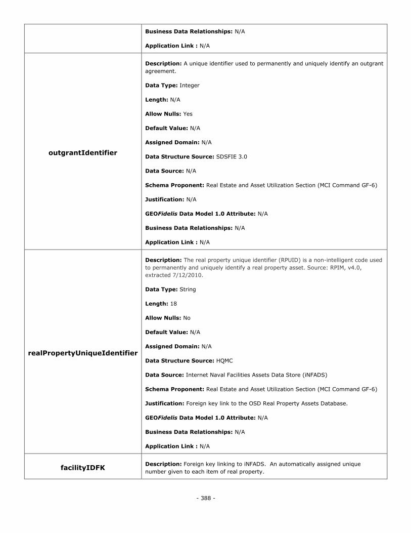
- 388 -
Business Data Relationships: N/A
Application Link : N/A
outgrantIdentifier
Description: A unique identifier used to permanently and uniquely identify an outgrant
agreement.
Data Type: Integer
Length: N/A
Allow Nulls: Yes
Default Value: N/A
Assigned Domain: N/A
Data Structure Source: SDSFIE 3.0
Data Source: N/A
Schema Proponent: Real Estate and Asset Utilization Section (MCI Command GF-6)
Justification: N/A
GEOFidelis Data Model 1.0 Attribute: N/A
Business Data Relationships: N/A
Application Link : N/A
realPropertyUniqueIdentifier
Description: The real property unique identifier (RPUID) is a non-intelligent code used
to permanently and uniquely identify a real property asset. Source: RPIM, v4.0,
extracted 7/12/2010.
Data Type: String
Length: 18
Allow Nulls: No
Default Value: N/A
Assigned Domain: N/A
Data Structure Source: HQMC
Data Source: Internet Naval Facilities Assets Data Store (iNFADS)
Schema Proponent: Real Estate and Asset Utilization Section (MCI Command GF-6)
Justification: Foreign key link to the OSD Real Property Assets Database.
GEOFidelis Data Model 1.0 Attribute: N/A
Business Data Relationships: N/A
Application Link : N/A
facilityIDFK Description: Foreign key linking to iNFADS. An automatically assigned unique
number given to each item of real property.
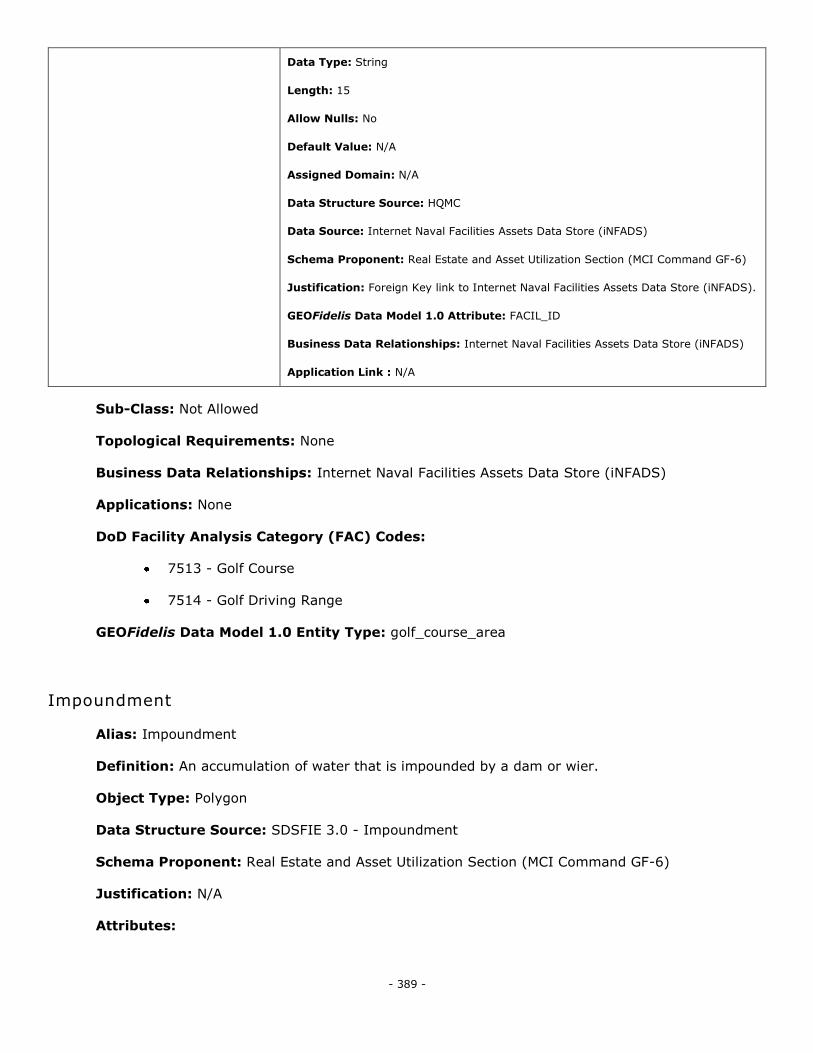
- 389 -
Data Type: String
Length: 15
Allow Nulls: No
Default Value: N/A
Assigned Domain: N/A
Data Structure Source: HQMC
Data Source: Internet Naval Facilities Assets Data Store (iNFADS)
Schema Proponent: Real Estate and Asset Utilization Section (MCI Command GF-6)
Justification: Foreign Key link to Internet Naval Facilities Assets Data Store (iNFADS).
GEOFidelis Data Model 1.0 Attribute: FACIL_ID
Business Data Relationships: Internet Naval Facilities Assets Data Store (iNFADS)
Application Link : N/A
Sub-Class: Not Allowed
Topological Requirements: None
Business Data Relationships: Internet Naval Facilities Assets Data Store (iNFADS)
Applications: None
DoD Facility Analysis Category (FAC) Codes:
7513 - Golf Course
7514 - Golf Driving Range
GEOFidelis Data Model 1.0 Entity Type: golf_course_area
Impoundment
Alias: Impoundment
Definition: An accumulation of water that is impounded by a dam or wier.
Object Type: Polygon
Data Structure Source: SDSFIE 3.0 - Impoundment
Schema Proponent: Real Estate and Asset Utilization Section (MCI Command GF-6)
Justification: N/A
Attributes:
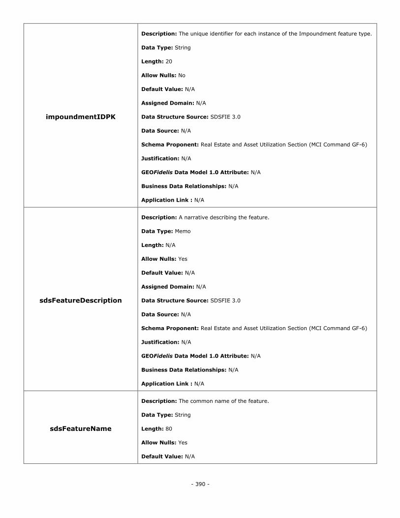
- 390 -
impoundmentIDPK
Description: The unique identifier for each instance of the Impoundment feature type.
Data Type: String
Length: 20
Allow Nulls: No
Default Value: N/A
Assigned Domain: N/A
Data Structure Source: SDSFIE 3.0
Data Source: N/A
Schema Proponent: Real Estate and Asset Utilization Section (MCI Command GF-6)
Justification: N/A
GEOFidelis Data Model 1.0 Attribute: N/A
Business Data Relationships: N/A
Application Link : N/A
sdsFeatureDescription
Description: A narrative describing the feature.
Data Type: Memo
Length: N/A
Allow Nulls: Yes
Default Value: N/A
Assigned Domain: N/A
Data Structure Source: SDSFIE 3.0
Data Source: N/A
Schema Proponent: Real Estate and Asset Utilization Section (MCI Command GF-6)
Justification: N/A
GEOFidelis Data Model 1.0 Attribute: N/A
Business Data Relationships: N/A
Application Link : N/A
sdsFeatureName
Description: The common name of the feature.
Data Type: String
Length: 80
Allow Nulls: Yes
Default Value: N/A

- 391 -
Assigned Domain: N/A
Data Structure Source: SDSFIE 3.0
Data Source: N/A
Schema Proponent: Real Estate and Asset Utilization Section (MCI Command GF-6)
Justification: N/A
GEOFidelis Data Model 1.0 Attribute: N/A
Business Data Relationships: N/A
Application Link : N/A
sdsID
Description: A unique identifier for all features and objects in the SDSFIE.
Data Type: GUID
Length: N/A
Allow Nulls: No
Default Value: N/A
Assigned Domain: N/A
Data Structure Source: SDSFIE 3.0
Data Source: N/A
Schema Proponent: Real Estate and Asset Utilization Section (MCI Command GF-6)
Justification: N/A
GEOFidelis Data Model 1.0 Attribute: N/A
Business Data Relationships: N/A
Application Link : N/A
sdsMetadataID
Description: The foreign key to a metadata record.
Data Type: String
Length: 80
Allow Nulls: Yes
Default Value: N/A
Assigned Domain: N/A
Data Structure Source: SDSFIE 3.0
Data Source: N/A
Schema Proponent: Real Estate and Asset Utilization Section (MCI Command GF-6)
Justification: N/A
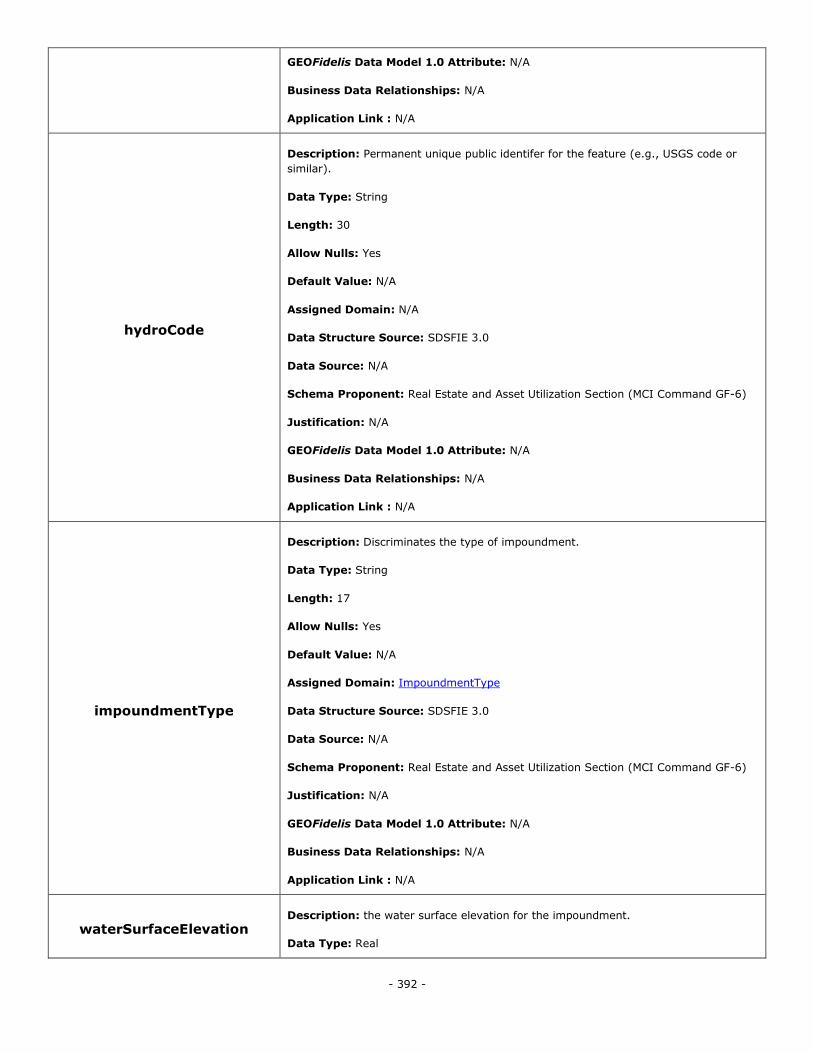
- 392 -
GEOFidelis Data Model 1.0 Attribute: N/A
Business Data Relationships: N/A
Application Link : N/A
hydroCode
Description: Permanent unique public identifer for the feature (e.g., USGS code or
similar).
Data Type: String
Length: 30
Allow Nulls: Yes
Default Value: N/A
Assigned Domain: N/A
Data Structure Source: SDSFIE 3.0
Data Source: N/A
Schema Proponent: Real Estate and Asset Utilization Section (MCI Command GF-6)
Justification: N/A
GEOFidelis Data Model 1.0 Attribute: N/A
Business Data Relationships: N/A
Application Link : N/A
impoundmentType
Description: Discriminates the type of impoundment.
Data Type: String
Length: 17
Allow Nulls: Yes
Default Value: N/A
Assigned Domain: ImpoundmentType
Data Structure Source: SDSFIE 3.0
Data Source: N/A
Schema Proponent: Real Estate and Asset Utilization Section (MCI Command GF-6)
Justification: N/A
GEOFidelis Data Model 1.0 Attribute: N/A
Business Data Relationships: N/A
Application Link : N/A
waterSurfaceElevation Description: the water surface elevation for the impoundment.
Data Type: Real
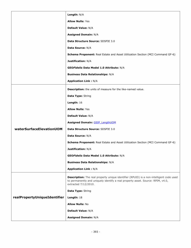
- 393 -
Length: N/A
Allow Nulls: Yes
Default Value: N/A
Assigned Domain: N/A
Data Structure Source: SDSFIE 3.0
Data Source: N/A
Schema Proponent: Real Estate and Asset Utilization Section (MCI Command GF-6)
Justification: N/A
GEOFidelis Data Model 1.0 Attribute: N/A
Business Data Relationships: N/A
Application Link : N/A
waterSurfaceElevationUOM
Description: the units of measure for the like-named value.
Data Type: String
Length: 16
Allow Nulls: Yes
Default Value: N/A
Assigned Domain: GSIP_LengthUOM
Data Structure Source: SDSFIE 3.0
Data Source: N/A
Schema Proponent: Real Estate and Asset Utilization Section (MCI Command GF-6)
Justification: N/A
GEOFidelis Data Model 1.0 Attribute: N/A
Business Data Relationships: N/A
Application Link : N/A
realPropertyUniqueIdentifier
Description: The real property unique identifier (RPUID) is a non-intelligent code used
to permanently and uniquely identify a real property asset. Source: RPIM, v4.0,
extracted 7/12/2010.
Data Type: String
Length: 18
Allow Nulls: No
Default Value: N/A
Assigned Domain: N/A
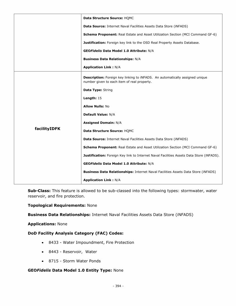
- 394 -
Data Structure Source: HQMC
Data Source: Internet Naval Facilities Assets Data Store (iNFADS)
Schema Proponent: Real Estate and Asset Utilization Section (MCI Command GF-6)
Justification: Foreign key link to the OSD Real Property Assets Database.
GEOFidelis Data Model 1.0 Attribute: N/A
Business Data Relationships: N/A
Application Link : N/A
facilityIDFK
Description: Foreign key linking to iNFADS. An automatically assigned unique
number given to each item of real property.
Data Type: String
Length: 15
Allow Nulls: No
Default Value: N/A
Assigned Domain: N/A
Data Structure Source: HQMC
Data Source: Internet Naval Facilities Assets Data Store (iNFADS)
Schema Proponent: Real Estate and Asset Utilization Section (MCI Command GF-6)
Justification: Foreign Key link to Internet Naval Facilities Assets Data Store (iNFADS).
GEOFidelis Data Model 1.0 Attribute: N/A
Business Data Relationships: Internet Naval Facilities Assets Data Store (iNFADS)
Application Link : N/A
Sub-Class: This feature is allowed to be sub-classed into the following types: stormwater, water
reservoir, and fire protection.
Topological Requirements: None
Business Data Relationships: Internet Naval Facilities Assets Data Store (iNFADS)
Applications: None
DoD Facility Analysis Category (FAC) Codes:
8433 - Water Impoundment, Fire Protection
8443 - Reservoir, Water
8715 - Storm Water Ponds
GEOFidelis Data Model 1.0 Entity Type: None
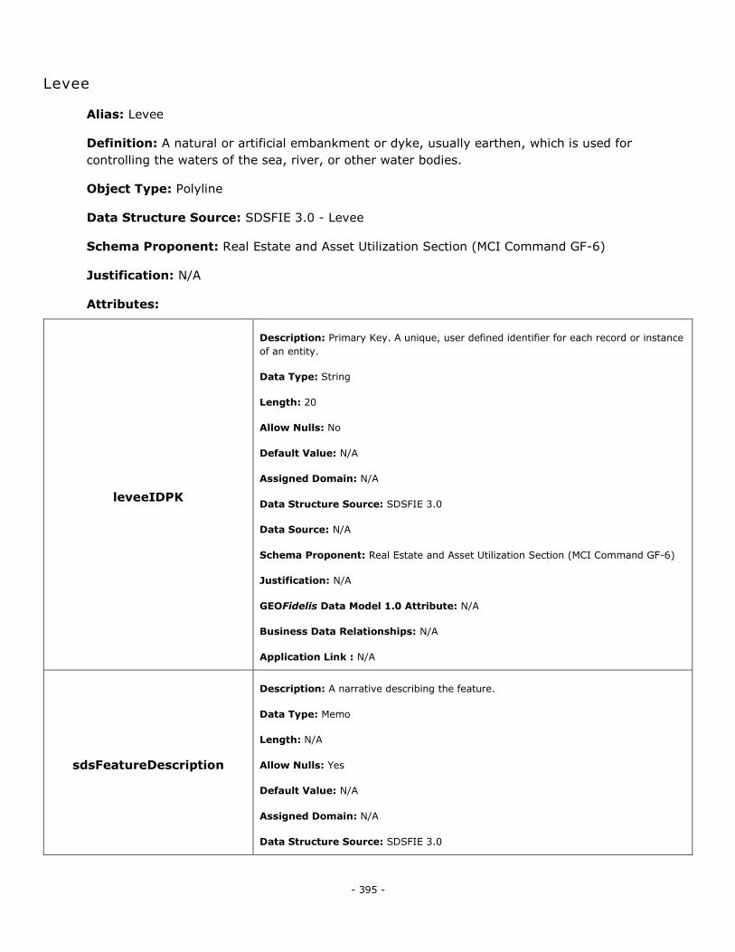
- 395 -
Levee
Alias: Levee
Definition: A natural or artificial embankment or dyke, usually earthen, which is used for
controlling the waters of the sea, river, or other water bodies.
Object Type: Polyline
Data Structure Source: SDSFIE 3.0 - Levee
Schema Proponent: Real Estate and Asset Utilization Section (MCI Command GF-6)
Justification: N/A
Attributes:
leveeIDPK
Description: Primary Key. A unique, user defined identifier for each record or instance
of an entity.
Data Type: String
Length: 20
Allow Nulls: No
Default Value: N/A
Assigned Domain: N/A
Data Structure Source: SDSFIE 3.0
Data Source: N/A
Schema Proponent: Real Estate and Asset Utilization Section (MCI Command GF-6)
Justification: N/A
GEOFidelis Data Model 1.0 Attribute: N/A
Business Data Relationships: N/A
Application Link : N/A
sdsFeatureDescription
Description: A narrative describing the feature.
Data Type: Memo
Length: N/A
Allow Nulls: Yes
Default Value: N/A
Assigned Domain: N/A
Data Structure Source: SDSFIE 3.0
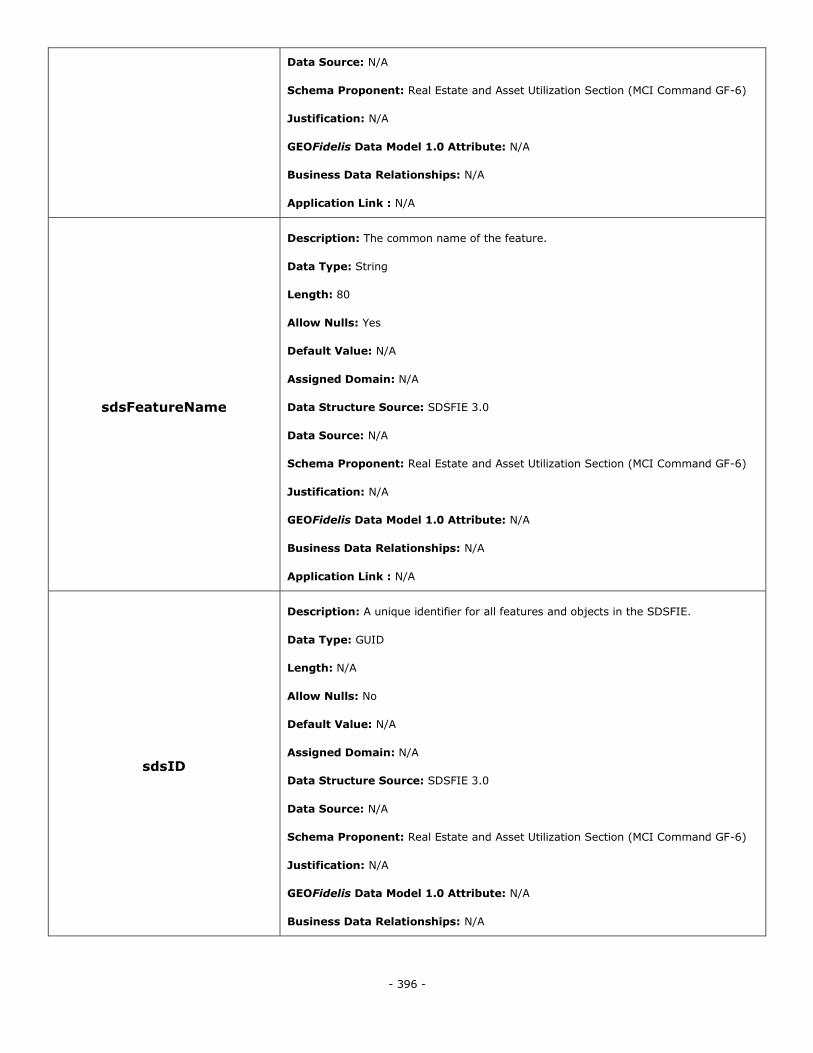
- 396 -
Data Source: N/A
Schema Proponent: Real Estate and Asset Utilization Section (MCI Command GF-6)
Justification: N/A
GEOFidelis Data Model 1.0 Attribute: N/A
Business Data Relationships: N/A
Application Link : N/A
sdsFeatureName
Description: The common name of the feature.
Data Type: String
Length: 80
Allow Nulls: Yes
Default Value: N/A
Assigned Domain: N/A
Data Structure Source: SDSFIE 3.0
Data Source: N/A
Schema Proponent: Real Estate and Asset Utilization Section (MCI Command GF-6)
Justification: N/A
GEOFidelis Data Model 1.0 Attribute: N/A
Business Data Relationships: N/A
Application Link : N/A
sdsID
Description: A unique identifier for all features and objects in the SDSFIE.
Data Type: GUID
Length: N/A
Allow Nulls: No
Default Value: N/A
Assigned Domain: N/A
Data Structure Source: SDSFIE 3.0
Data Source: N/A
Schema Proponent: Real Estate and Asset Utilization Section (MCI Command GF-6)
Justification: N/A
GEOFidelis Data Model 1.0 Attribute: N/A
Business Data Relationships: N/A
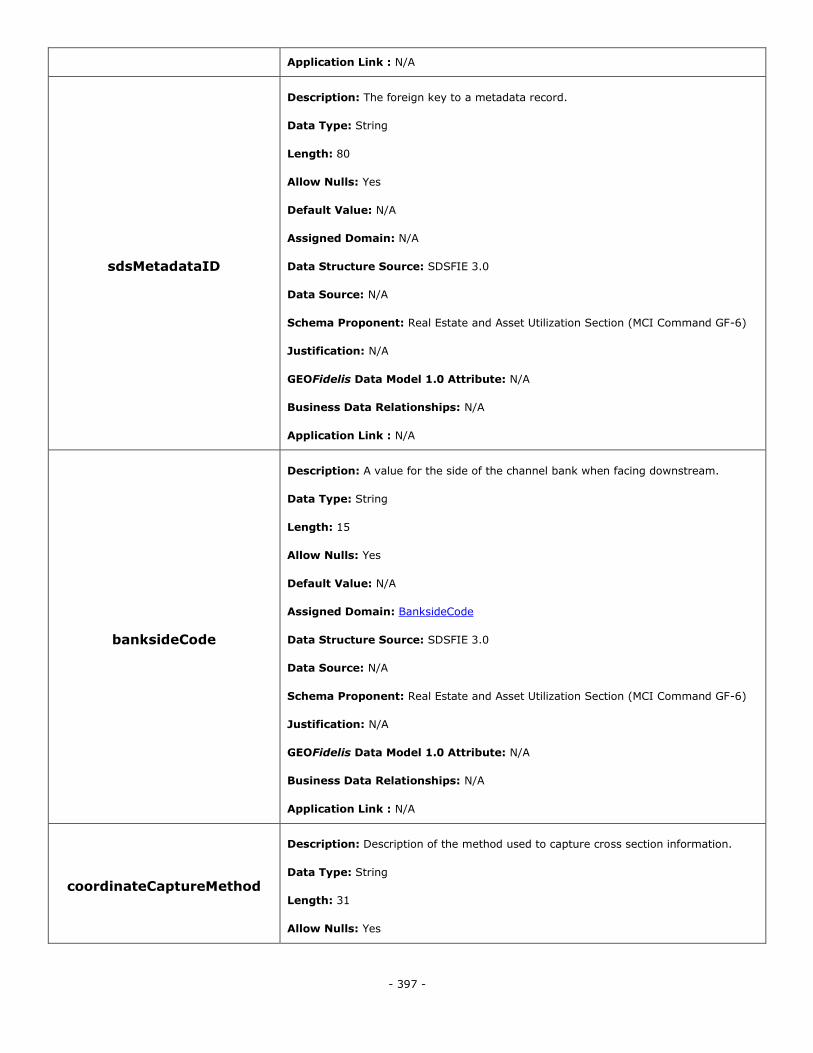
- 397 -
Application Link : N/A
sdsMetadataID
Description: The foreign key to a metadata record.
Data Type: String
Length: 80
Allow Nulls: Yes
Default Value: N/A
Assigned Domain: N/A
Data Structure Source: SDSFIE 3.0
Data Source: N/A
Schema Proponent: Real Estate and Asset Utilization Section (MCI Command GF-6)
Justification: N/A
GEOFidelis Data Model 1.0 Attribute: N/A
Business Data Relationships: N/A
Application Link : N/A
banksideCode
Description: A value for the side of the channel bank when facing downstream.
Data Type: String
Length: 15
Allow Nulls: Yes
Default Value: N/A
Assigned Domain: BanksideCode
Data Structure Source: SDSFIE 3.0
Data Source: N/A
Schema Proponent: Real Estate and Asset Utilization Section (MCI Command GF-6)
Justification: N/A
GEOFidelis Data Model 1.0 Attribute: N/A
Business Data Relationships: N/A
Application Link : N/A
coordinateCaptureMethod
Description: Description of the method used to capture cross section information.
Data Type: String
Length: 31
Allow Nulls: Yes
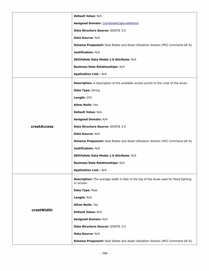
- 398 -
Default Value: N/A
Assigned Domain: CoordinateCaptureMethod
Data Structure Source: SDSFIE 3.0
Data Source: N/A
Schema Proponent: Real Estate and Asset Utilization Section (MCI Command GF-6)
Justification: N/A
GEOFidelis Data Model 1.0 Attribute: N/A
Business Data Relationships: N/A
Application Link : N/A
crestAccess
Description: A description of the available access points to the crest of the levee.
Data Type: String
Length: 255
Allow Nulls: Yes
Default Value: N/A
Assigned Domain: N/A
Data Structure Source: SDSFIE 3.0
Data Source: N/A
Schema Proponent: Real Estate and Asset Utilization Section (MCI Command GF-6)
Justification: N/A
GEOFidelis Data Model 1.0 Attribute: N/A
Business Data Relationships: N/A
Application Link : N/A
crestWidth
Description: The average width in feet of the top of the levee used for flood fighting
or access.
Data Type: Real
Length: N/A
Allow Nulls: Yes
Default Value: N/A
Assigned Domain: N/A
Data Structure Source: SDSFIE 3.0
Data Source: N/A
Schema Proponent: Real Estate and Asset Utilization Section (MCI Command GF-6)
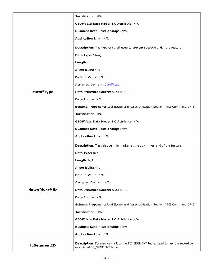
- 399 -
Justification: N/A
GEOFidelis Data Model 1.0 Attribute: N/A
Business Data Relationships: N/A
Application Link : N/A
cutoffType
Description: The type of cutoff used to prevent seepage under the feature.
Data Type: String
Length: 11
Allow Nulls: Yes
Default Value: N/A
Assigned Domain: CutoffType
Data Structure Source: SDSFIE 3.0
Data Source: N/A
Schema Proponent: Real Estate and Asset Utilization Section (MCI Command GF-6)
Justification: N/A
GEOFidelis Data Model 1.0 Attribute: N/A
Business Data Relationships: N/A
Application Link : N/A
downRiverMile
Description: The relative mile marker at the down river end of the feature.
Data Type: Real
Length: N/A
Allow Nulls: Yes
Default Value: N/A
Assigned Domain: N/A
Data Structure Source: SDSFIE 3.0
Data Source: N/A
Schema Proponent: Real Estate and Asset Utilization Section (MCI Command GF-6)
Justification: N/A
GEOFidelis Data Model 1.0 Attribute: N/A
Business Data Relationships: N/A
Application Link : N/A
fcSegmentID Description: Foreign Key link to the FC_SEGMENT table. Used to link the record to
associated FC_SEGMENT table.
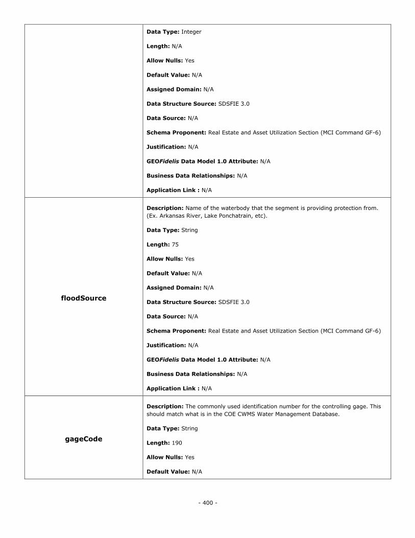
- 400 -
Data Type: Integer
Length: N/A
Allow Nulls: Yes
Default Value: N/A
Assigned Domain: N/A
Data Structure Source: SDSFIE 3.0
Data Source: N/A
Schema Proponent: Real Estate and Asset Utilization Section (MCI Command GF-6)
Justification: N/A
GEOFidelis Data Model 1.0 Attribute: N/A
Business Data Relationships: N/A
Application Link : N/A
floodSource
Description: Name of the waterbody that the segment is providing protection from.
(Ex. Arkansas River, Lake Ponchatrain, etc).
Data Type: String
Length: 75
Allow Nulls: Yes
Default Value: N/A
Assigned Domain: N/A
Data Structure Source: SDSFIE 3.0
Data Source: N/A
Schema Proponent: Real Estate and Asset Utilization Section (MCI Command GF-6)
Justification: N/A
GEOFidelis Data Model 1.0 Attribute: N/A
Business Data Relationships: N/A
Application Link : N/A
gageCode
Description: The commonly used identification number for the controlling gage. This
should match what is in the COE CWMS Water Management Database.
Data Type: String
Length: 190
Allow Nulls: Yes
Default Value: N/A
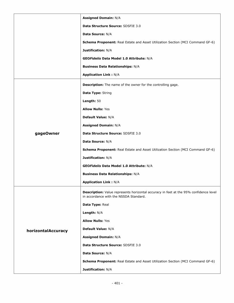
- 401 -
Assigned Domain: N/A
Data Structure Source: SDSFIE 3.0
Data Source: N/A
Schema Proponent: Real Estate and Asset Utilization Section (MCI Command GF-6)
Justification: N/A
GEOFidelis Data Model 1.0 Attribute: N/A
Business Data Relationships: N/A
Application Link : N/A
gageOwner
Description: The name of the owner for the controlling gage.
Data Type: String
Length: 50
Allow Nulls: Yes
Default Value: N/A
Assigned Domain: N/A
Data Structure Source: SDSFIE 3.0
Data Source: N/A
Schema Proponent: Real Estate and Asset Utilization Section (MCI Command GF-6)
Justification: N/A
GEOFidelis Data Model 1.0 Attribute: N/A
Business Data Relationships: N/A
Application Link : N/A
horizontalAccuracy
Description: Value represents horizontal accuracy in feet at the 95% confidence level
in accordance with the NSSDA Standard.
Data Type: Real
Length: N/A
Allow Nulls: Yes
Default Value: N/A
Assigned Domain: N/A
Data Structure Source: SDSFIE 3.0
Data Source: N/A
Schema Proponent: Real Estate and Asset Utilization Section (MCI Command GF-6)
Justification: N/A
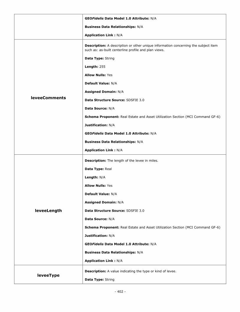
- 402 -
GEOFidelis Data Model 1.0 Attribute: N/A
Business Data Relationships: N/A
Application Link : N/A
leveeComments
Description: A description or other unique information concerning the subject item
such as: as-built centerline profile and plan views.
Data Type: String
Length: 255
Allow Nulls: Yes
Default Value: N/A
Assigned Domain: N/A
Data Structure Source: SDSFIE 3.0
Data Source: N/A
Schema Proponent: Real Estate and Asset Utilization Section (MCI Command GF-6)
Justification: N/A
GEOFidelis Data Model 1.0 Attribute: N/A
Business Data Relationships: N/A
Application Link : N/A
leveeLength
Description: The length of the levee in miles.
Data Type: Real
Length: N/A
Allow Nulls: Yes
Default Value: N/A
Assigned Domain: N/A
Data Structure Source: SDSFIE 3.0
Data Source: N/A
Schema Proponent: Real Estate and Asset Utilization Section (MCI Command GF-6)
Justification: N/A
GEOFidelis Data Model 1.0 Attribute: N/A
Business Data Relationships: N/A
Application Link : N/A
leveeType Description: A value indicating the type or kind of levee.
Data Type: String
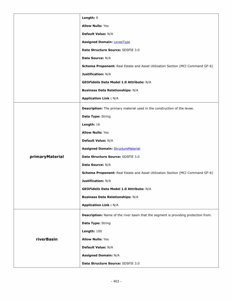
- 403 -
Length: 9
Allow Nulls: Yes
Default Value: N/A
Assigned Domain: LeveeType
Data Structure Source: SDSFIE 3.0
Data Source: N/A
Schema Proponent: Real Estate and Asset Utilization Section (MCI Command GF-6)
Justification: N/A
GEOFidelis Data Model 1.0 Attribute: N/A
Business Data Relationships: N/A
Application Link : N/A
primaryMaterial
Description: The primary material used in the construction of the levee.
Data Type: String
Length: 16
Allow Nulls: Yes
Default Value: N/A
Assigned Domain: StructureMaterial
Data Structure Source: SDSFIE 3.0
Data Source: N/A
Schema Proponent: Real Estate and Asset Utilization Section (MCI Command GF-6)
Justification: N/A
GEOFidelis Data Model 1.0 Attribute: N/A
Business Data Relationships: N/A
Application Link : N/A
riverBasin
Description: Name of the river basin that the segment is providing protection from.
Data Type: String
Length: 100
Allow Nulls: Yes
Default Value: N/A
Assigned Domain: N/A
Data Structure Source: SDSFIE 3.0
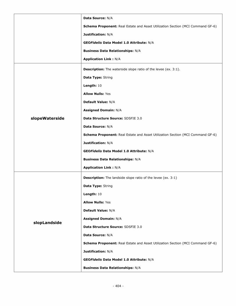
- 404 -
Data Source: N/A
Schema Proponent: Real Estate and Asset Utilization Section (MCI Command GF-6)
Justification: N/A
GEOFidelis Data Model 1.0 Attribute: N/A
Business Data Relationships: N/A
Application Link : N/A
slopeWaterside
Description: The waterside slope ratio of the levee (ex. 3:1).
Data Type: String
Length: 10
Allow Nulls: Yes
Default Value: N/A
Assigned Domain: N/A
Data Structure Source: SDSFIE 3.0
Data Source: N/A
Schema Proponent: Real Estate and Asset Utilization Section (MCI Command GF-6)
Justification: N/A
GEOFidelis Data Model 1.0 Attribute: N/A
Business Data Relationships: N/A
Application Link : N/A
slopLandside
Description: The landside slope ratio of the levee (ex. 3:1)
Data Type: String
Length: 10
Allow Nulls: Yes
Default Value: N/A
Assigned Domain: N/A
Data Structure Source: SDSFIE 3.0
Data Source: N/A
Schema Proponent: Real Estate and Asset Utilization Section (MCI Command GF-6)
Justification: N/A
GEOFidelis Data Model 1.0 Attribute: N/A
Business Data Relationships: N/A
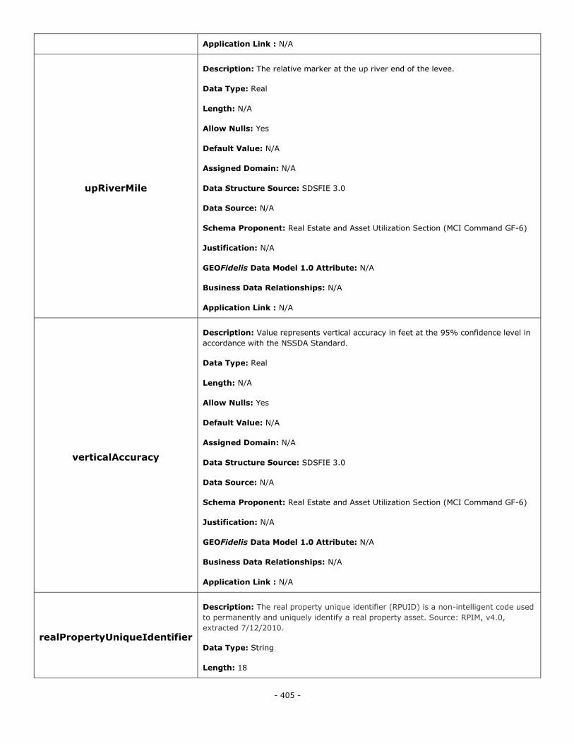
- 405 -
Application Link : N/A
upRiverMile
Description: The relative marker at the up river end of the levee.
Data Type: Real
Length: N/A
Allow Nulls: Yes
Default Value: N/A
Assigned Domain: N/A
Data Structure Source: SDSFIE 3.0
Data Source: N/A
Schema Proponent: Real Estate and Asset Utilization Section (MCI Command GF-6)
Justification: N/A
GEOFidelis Data Model 1.0 Attribute: N/A
Business Data Relationships: N/A
Application Link : N/A
verticalAccuracy
Description: Value represents vertical accuracy in feet at the 95% confidence level in
accordance with the NSSDA Standard.
Data Type: Real
Length: N/A
Allow Nulls: Yes
Default Value: N/A
Assigned Domain: N/A
Data Structure Source: SDSFIE 3.0
Data Source: N/A
Schema Proponent: Real Estate and Asset Utilization Section (MCI Command GF-6)
Justification: N/A
GEOFidelis Data Model 1.0 Attribute: N/A
Business Data Relationships: N/A
Application Link : N/A
realPropertyUniqueIdentifier
Description: The real property unique identifier (RPUID) is a non-intelligent code used
to permanently and uniquely identify a real property asset. Source: RPIM, v4.0,
extracted 7/12/2010.
Data Type: String
Length: 18
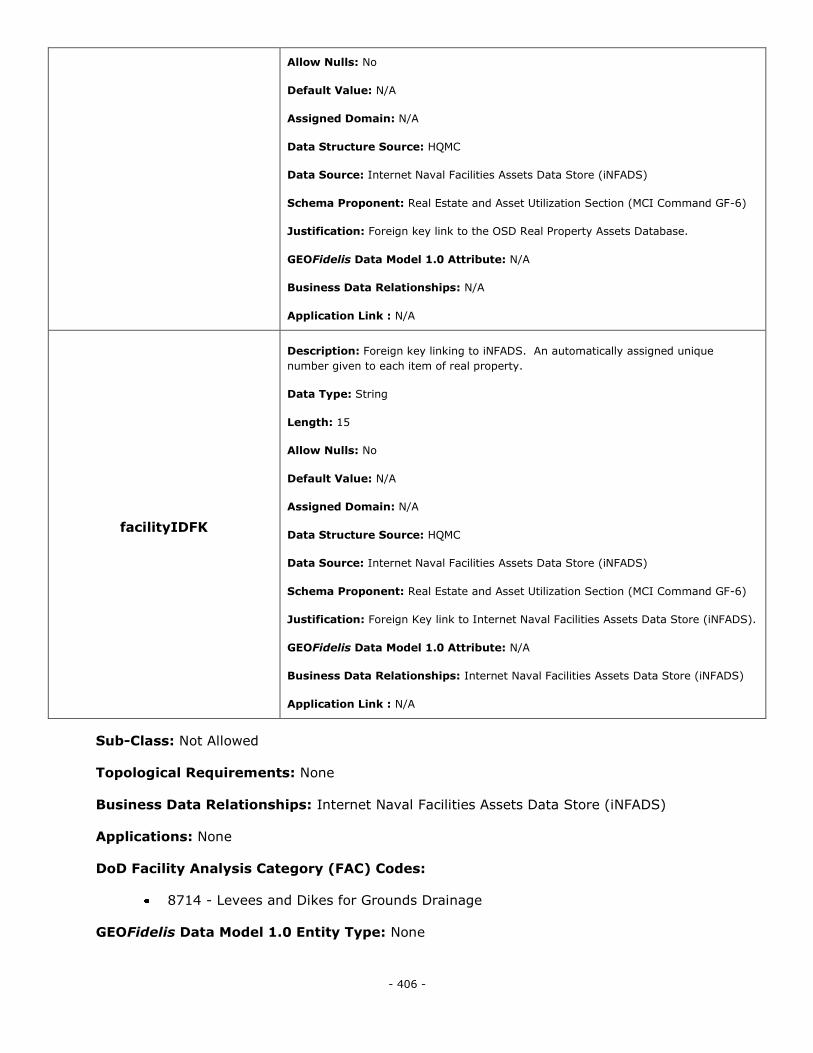
- 406 -
Allow Nulls: No
Default Value: N/A
Assigned Domain: N/A
Data Structure Source: HQMC
Data Source: Internet Naval Facilities Assets Data Store (iNFADS)
Schema Proponent: Real Estate and Asset Utilization Section (MCI Command GF-6)
Justification: Foreign key link to the OSD Real Property Assets Database.
GEOFidelis Data Model 1.0 Attribute: N/A
Business Data Relationships: N/A
Application Link : N/A
facilityIDFK
Description: Foreign key linking to iNFADS. An automatically assigned unique
number given to each item of real property.
Data Type: String
Length: 15
Allow Nulls: No
Default Value: N/A
Assigned Domain: N/A
Data Structure Source: HQMC
Data Source: Internet Naval Facilities Assets Data Store (iNFADS)
Schema Proponent: Real Estate and Asset Utilization Section (MCI Command GF-6)
Justification: Foreign Key link to Internet Naval Facilities Assets Data Store (iNFADS).
GEOFidelis Data Model 1.0 Attribute: N/A
Business Data Relationships: Internet Naval Facilities Assets Data Store (iNFADS)
Application Link : N/A
Sub-Class: Not Allowed
Topological Requirements: None
Business Data Relationships: Internet Naval Facilities Assets Data Store (iNFADS)
Applications: None
DoD Facility Analysis Category (FAC) Codes:
8714 - Levees and Dikes for Grounds Drainage
GEOFidelis Data Model 1.0 Entity Type: None

- 407 -
Marina
Alias: Marina
Definition: Any facility or area for the exchange of people or materials from land to water such as
a port, harbor, marina, launch area or small craft facility.
Object Type: Polygon
Data Structure Source: SDSFIE 3.0 - Marina
Schema Proponent: Real Estate and Asset Utilization Section (MCI Command GF-6)
Justification: N/A
Attributes:
marinaIDPK
Description: The unique identifier for each instance of the Marina feature type.
Data Type: String
Length: 20
Allow Nulls: No
Default Value: N/A
Assigned Domain: N/A
Data Structure Source: SDSFIE 3.0
Data Source: N/A
Schema Proponent: Real Estate and Asset Utilization Section (MCI Command GF-6)
Justification: N/A
GEOFidelis Data Model 1.0 Attribute: N/A
Business Data Relationships: N/A
Application Link : N/A
sdsFeatureDescription
Description: A narrative describing the feature.
Data Type: Memo
Length: N/A
Allow Nulls: Yes
Default Value: N/A
Assigned Domain: N/A
Data Structure Source: SDSFIE 3.0
Data Source: N/A
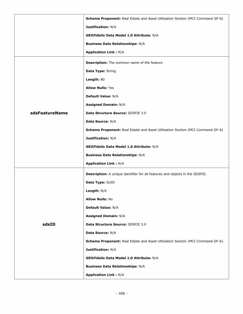
- 408 -
Schema Proponent: Real Estate and Asset Utilization Section (MCI Command GF-6)
Justification: N/A
GEOFidelis Data Model 1.0 Attribute: N/A
Business Data Relationships: N/A
Application Link : N/A
sdsFeatureName
Description: The common name of the feature.
Data Type: String
Length: 80
Allow Nulls: Yes
Default Value: N/A
Assigned Domain: N/A
Data Structure Source: SDSFIE 3.0
Data Source: N/A
Schema Proponent: Real Estate and Asset Utilization Section (MCI Command GF-6)
Justification: N/A
GEOFidelis Data Model 1.0 Attribute: N/A
Business Data Relationships: N/A
Application Link : N/A
sdsID
Description: A unique identifier for all features and objects in the SDSFIE.
Data Type: GUID
Length: N/A
Allow Nulls: No
Default Value: N/A
Assigned Domain: N/A
Data Structure Source: SDSFIE 3.0
Data Source: N/A
Schema Proponent: Real Estate and Asset Utilization Section (MCI Command GF-6)
Justification: N/A
GEOFidelis Data Model 1.0 Attribute: N/A
Business Data Relationships: N/A
Application Link : N/A
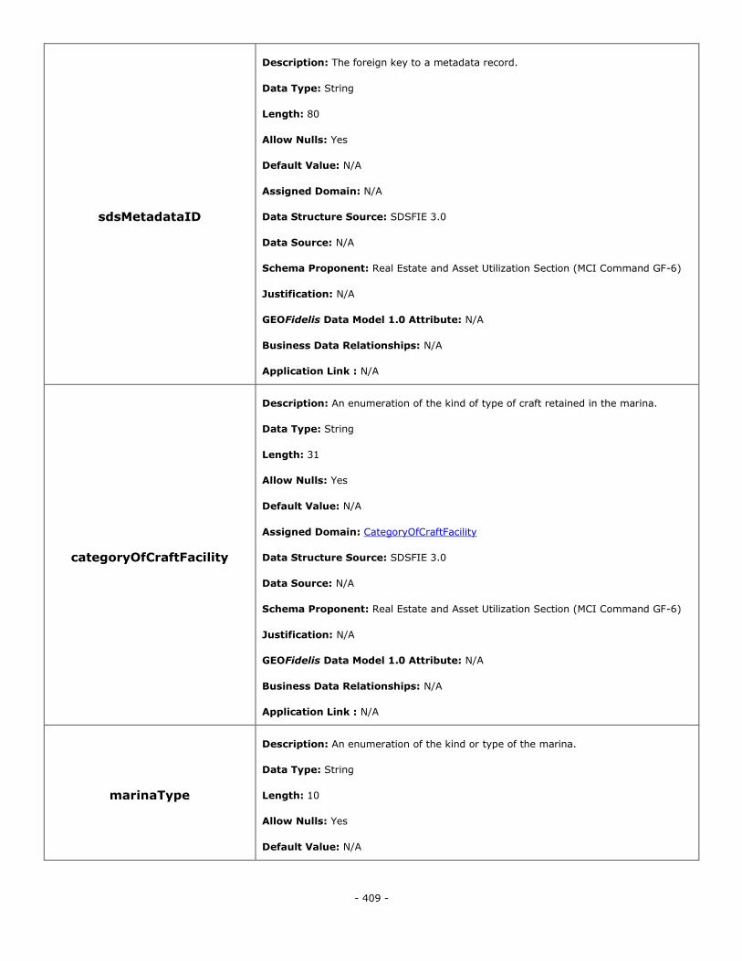
- 409 -
sdsMetadataID
Description: The foreign key to a metadata record.
Data Type: String
Length: 80
Allow Nulls: Yes
Default Value: N/A
Assigned Domain: N/A
Data Structure Source: SDSFIE 3.0
Data Source: N/A
Schema Proponent: Real Estate and Asset Utilization Section (MCI Command GF-6)
Justification: N/A
GEOFidelis Data Model 1.0 Attribute: N/A
Business Data Relationships: N/A
Application Link : N/A
categoryOfCraftFacility
Description: An enumeration of the kind of type of craft retained in the marina.
Data Type: String
Length: 31
Allow Nulls: Yes
Default Value: N/A
Assigned Domain: CategoryOfCraftFacility
Data Structure Source: SDSFIE 3.0
Data Source: N/A
Schema Proponent: Real Estate and Asset Utilization Section (MCI Command GF-6)
Justification: N/A
GEOFidelis Data Model 1.0 Attribute: N/A
Business Data Relationships: N/A
Application Link : N/A
marinaType
Description: An enumeration of the kind or type of the marina.
Data Type: String
Length: 10
Allow Nulls: Yes
Default Value: N/A
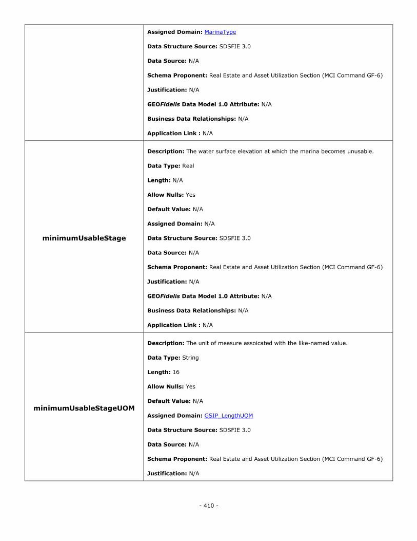
- 410 -
Assigned Domain: MarinaType
Data Structure Source: SDSFIE 3.0
Data Source: N/A
Schema Proponent: Real Estate and Asset Utilization Section (MCI Command GF-6)
Justification: N/A
GEOFidelis Data Model 1.0 Attribute: N/A
Business Data Relationships: N/A
Application Link : N/A
minimumUsableStage
Description: The water surface elevation at which the marina becomes unusable.
Data Type: Real
Length: N/A
Allow Nulls: Yes
Default Value: N/A
Assigned Domain: N/A
Data Structure Source: SDSFIE 3.0
Data Source: N/A
Schema Proponent: Real Estate and Asset Utilization Section (MCI Command GF-6)
Justification: N/A
GEOFidelis Data Model 1.0 Attribute: N/A
Business Data Relationships: N/A
Application Link : N/A
minimumUsableStageUOM
Description: The unit of measure assoicated with the like-named value.
Data Type: String
Length: 16
Allow Nulls: Yes
Default Value: N/A
Assigned Domain: GSIP_LengthUOM
Data Structure Source: SDSFIE 3.0
Data Source: N/A
Schema Proponent: Real Estate and Asset Utilization Section (MCI Command GF-6)
Justification: N/A
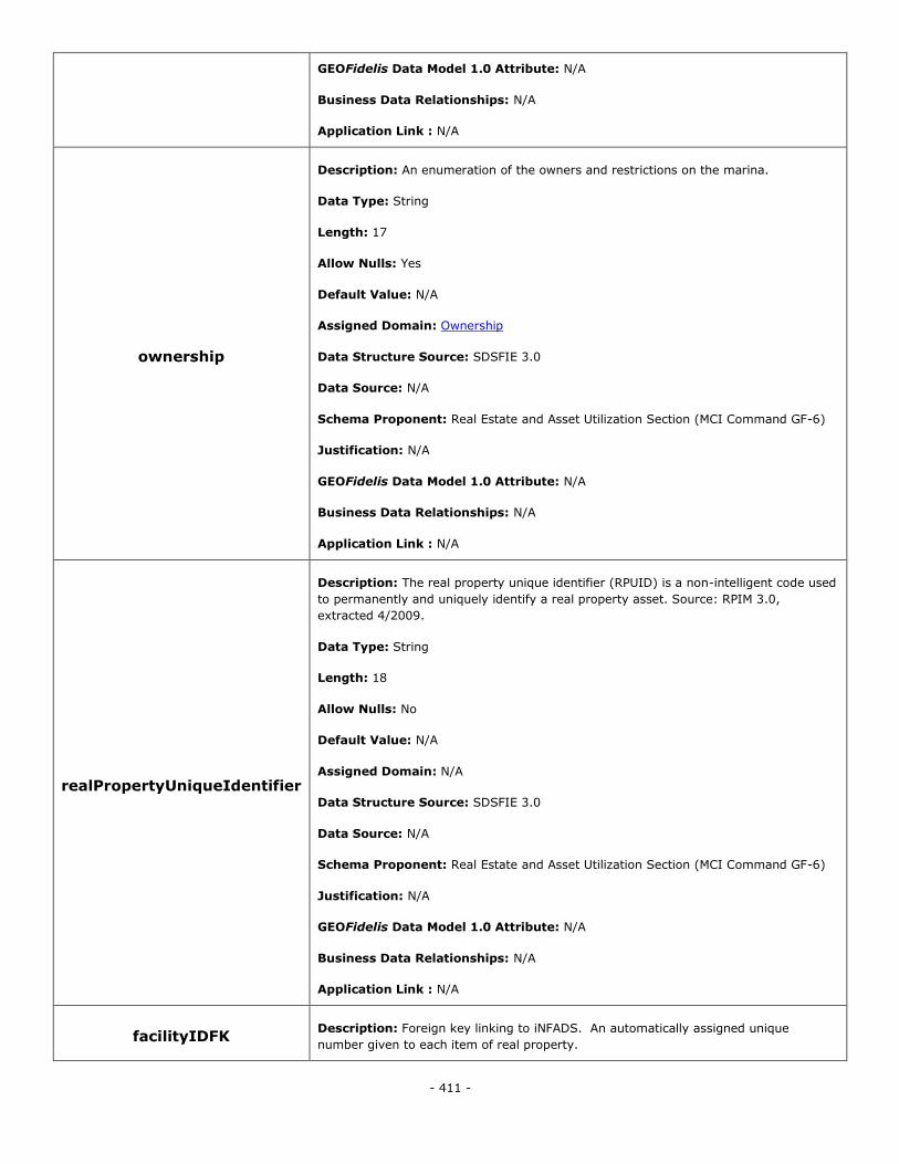
- 411 -
GEOFidelis Data Model 1.0 Attribute: N/A
Business Data Relationships: N/A
Application Link : N/A
ownership
Description: An enumeration of the owners and restrictions on the marina.
Data Type: String
Length: 17
Allow Nulls: Yes
Default Value: N/A
Assigned Domain: Ownership
Data Structure Source: SDSFIE 3.0
Data Source: N/A
Schema Proponent: Real Estate and Asset Utilization Section (MCI Command GF-6)
Justification: N/A
GEOFidelis Data Model 1.0 Attribute: N/A
Business Data Relationships: N/A
Application Link : N/A
realPropertyUniqueIdentifier
Description: The real property unique identifier (RPUID) is a non-intelligent code used
to permanently and uniquely identify a real property asset. Source: RPIM 3.0,
extracted 4/2009.
Data Type: String
Length: 18
Allow Nulls: No
Default Value: N/A
Assigned Domain: N/A
Data Structure Source: SDSFIE 3.0
Data Source: N/A
Schema Proponent: Real Estate and Asset Utilization Section (MCI Command GF-6)
Justification: N/A
GEOFidelis Data Model 1.0 Attribute: N/A
Business Data Relationships: N/A
Application Link : N/A
facilityIDFK Description: Foreign key linking to iNFADS. An automatically assigned unique
number given to each item of real property.
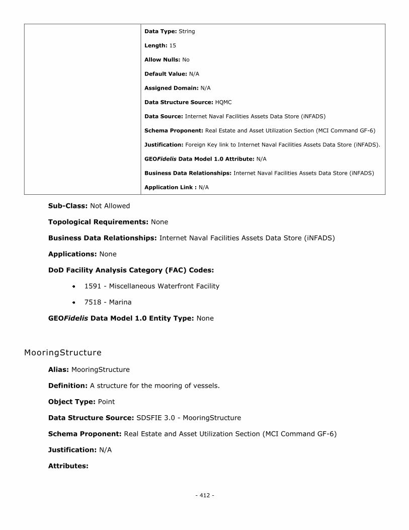
- 412 -
Data Type: String
Length: 15
Allow Nulls: No
Default Value: N/A
Assigned Domain: N/A
Data Structure Source: HQMC
Data Source: Internet Naval Facilities Assets Data Store (iNFADS)
Schema Proponent: Real Estate and Asset Utilization Section (MCI Command GF-6)
Justification: Foreign Key link to Internet Naval Facilities Assets Data Store (iNFADS).
GEOFidelis Data Model 1.0 Attribute: N/A
Business Data Relationships: Internet Naval Facilities Assets Data Store (iNFADS)
Application Link : N/A
Sub-Class: Not Allowed
Topological Requirements: None
Business Data Relationships: Internet Naval Facilities Assets Data Store (iNFADS)
Applications: None
DoD Facility Analysis Category (FAC) Codes:
1591 - Miscellaneous Waterfront Facility
7518 - Marina
GEOFidelis Data Model 1.0 Entity Type: None
MooringStructure
Alias: MooringStructure
Definition: A structure for the mooring of vessels.
Object Type: Point
Data Structure Source: SDSFIE 3.0 - MooringStructure
Schema Proponent: Real Estate and Asset Utilization Section (MCI Command GF-6)
Justification: N/A
Attributes:
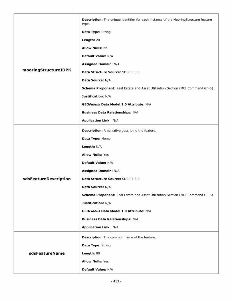
- 413 -
mooringStructureIDPK
Description: The unique identifier for each instance of the MooringStructure feature
type.
Data Type: String
Length: 20
Allow Nulls: No
Default Value: N/A
Assigned Domain: N/A
Data Structure Source: SDSFIE 3.0
Data Source: N/A
Schema Proponent: Real Estate and Asset Utilization Section (MCI Command GF-6)
Justification: N/A
GEOFidelis Data Model 1.0 Attribute: N/A
Business Data Relationships: N/A
Application Link : N/A
sdsFeatureDescription
Description: A narrative describing the feature.
Data Type: Memo
Length: N/A
Allow Nulls: Yes
Default Value: N/A
Assigned Domain: N/A
Data Structure Source: SDSFIE 3.0
Data Source: N/A
Schema Proponent: Real Estate and Asset Utilization Section (MCI Command GF-6)
Justification: N/A
GEOFidelis Data Model 1.0 Attribute: N/A
Business Data Relationships: N/A
Application Link : N/A
sdsFeatureName
Description: The common name of the feature.
Data Type: String
Length: 80
Allow Nulls: Yes
Default Value: N/A
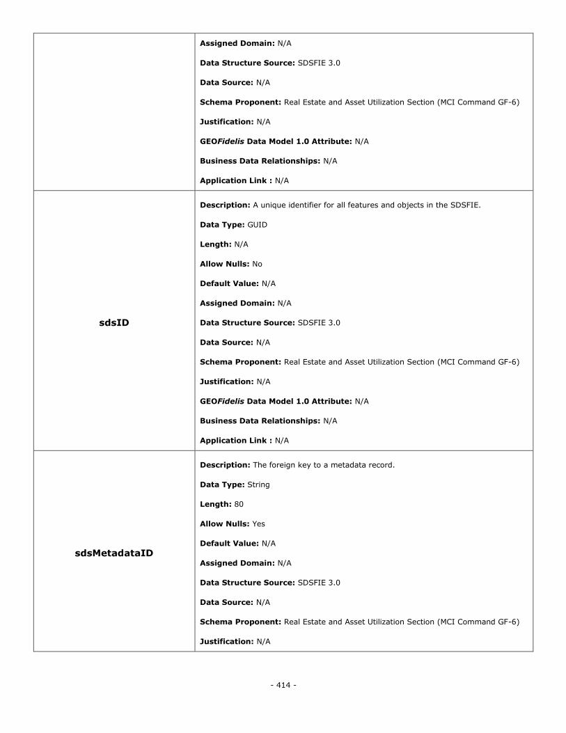
- 414 -
Assigned Domain: N/A
Data Structure Source: SDSFIE 3.0
Data Source: N/A
Schema Proponent: Real Estate and Asset Utilization Section (MCI Command GF-6)
Justification: N/A
GEOFidelis Data Model 1.0 Attribute: N/A
Business Data Relationships: N/A
Application Link : N/A
sdsID
Description: A unique identifier for all features and objects in the SDSFIE.
Data Type: GUID
Length: N/A
Allow Nulls: No
Default Value: N/A
Assigned Domain: N/A
Data Structure Source: SDSFIE 3.0
Data Source: N/A
Schema Proponent: Real Estate and Asset Utilization Section (MCI Command GF-6)
Justification: N/A
GEOFidelis Data Model 1.0 Attribute: N/A
Business Data Relationships: N/A
Application Link : N/A
sdsMetadataID
Description: The foreign key to a metadata record.
Data Type: String
Length: 80
Allow Nulls: Yes
Default Value: N/A
Assigned Domain: N/A
Data Structure Source: SDSFIE 3.0
Data Source: N/A
Schema Proponent: Real Estate and Asset Utilization Section (MCI Command GF-6)
Justification: N/A
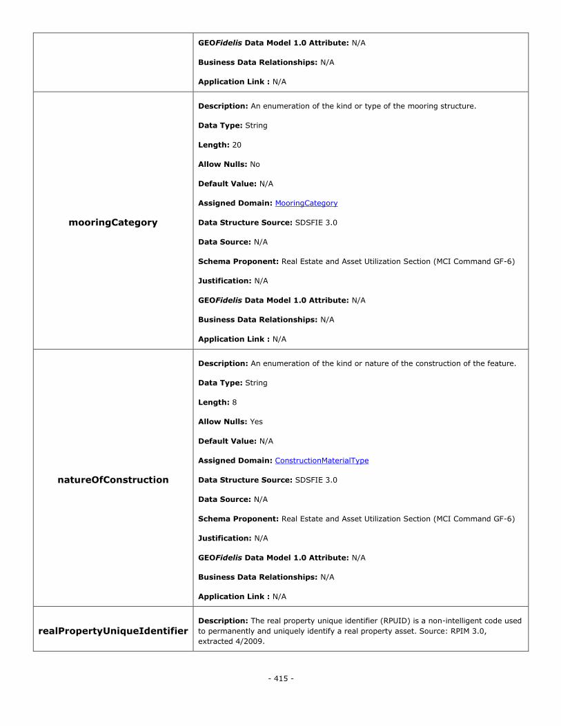
- 415 -
GEOFidelis Data Model 1.0 Attribute: N/A
Business Data Relationships: N/A
Application Link : N/A
mooringCategory
Description: An enumeration of the kind or type of the mooring structure.
Data Type: String
Length: 20
Allow Nulls: No
Default Value: N/A
Assigned Domain: MooringCategory
Data Structure Source: SDSFIE 3.0
Data Source: N/A
Schema Proponent: Real Estate and Asset Utilization Section (MCI Command GF-6)
Justification: N/A
GEOFidelis Data Model 1.0 Attribute: N/A
Business Data Relationships: N/A
Application Link : N/A
natureOfConstruction
Description: An enumeration of the kind or nature of the construction of the feature.
Data Type: String
Length: 8
Allow Nulls: Yes
Default Value: N/A
Assigned Domain: ConstructionMaterialType
Data Structure Source: SDSFIE 3.0
Data Source: N/A
Schema Proponent: Real Estate and Asset Utilization Section (MCI Command GF-6)
Justification: N/A
GEOFidelis Data Model 1.0 Attribute: N/A
Business Data Relationships: N/A
Application Link : N/A
realPropertyUniqueIdentifier Description: The real property unique identifier (RPUID) is a non-intelligent code used
to permanently and uniquely identify a real property asset. Source: RPIM 3.0,
extracted 4/2009.
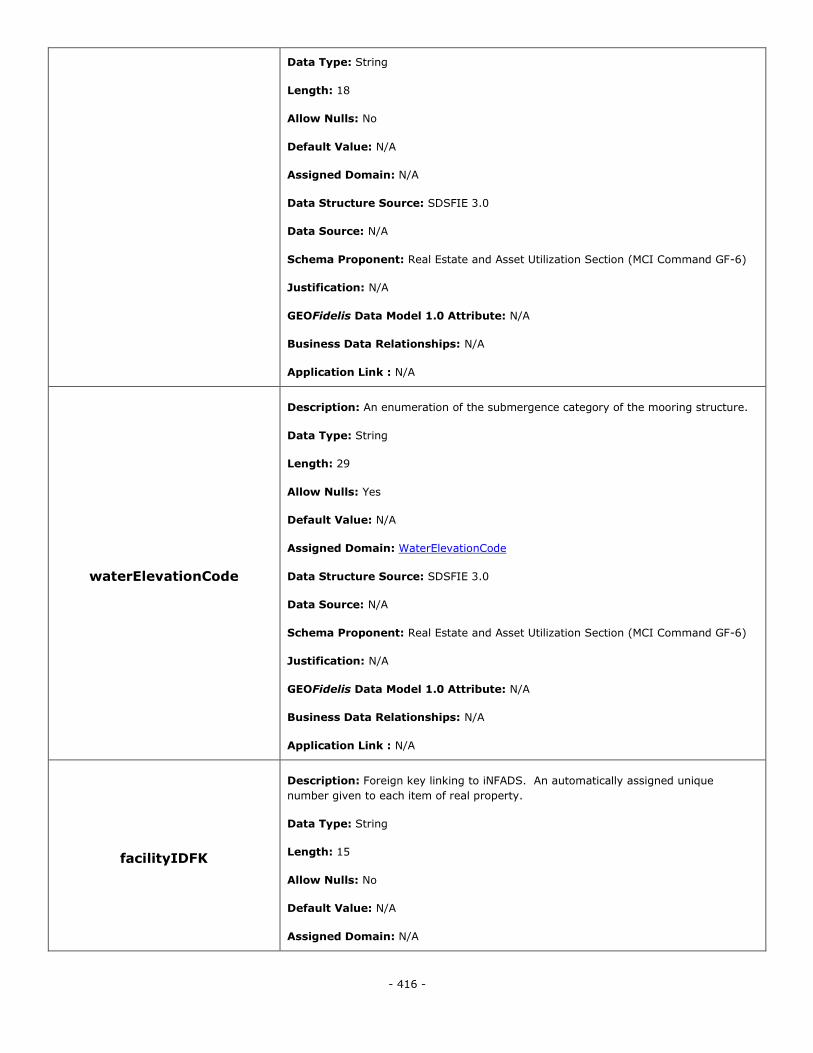
- 416 -
Data Type: String
Length: 18
Allow Nulls: No
Default Value: N/A
Assigned Domain: N/A
Data Structure Source: SDSFIE 3.0
Data Source: N/A
Schema Proponent: Real Estate and Asset Utilization Section (MCI Command GF-6)
Justification: N/A
GEOFidelis Data Model 1.0 Attribute: N/A
Business Data Relationships: N/A
Application Link : N/A
waterElevationCode
Description: An enumeration of the submergence category of the mooring structure.
Data Type: String
Length: 29
Allow Nulls: Yes
Default Value: N/A
Assigned Domain: WaterElevationCode
Data Structure Source: SDSFIE 3.0
Data Source: N/A
Schema Proponent: Real Estate and Asset Utilization Section (MCI Command GF-6)
Justification: N/A
GEOFidelis Data Model 1.0 Attribute: N/A
Business Data Relationships: N/A
Application Link : N/A
facilityIDFK
Description: Foreign key linking to iNFADS. An automatically assigned unique
number given to each item of real property.
Data Type: String
Length: 15
Allow Nulls: No
Default Value: N/A
Assigned Domain: N/A
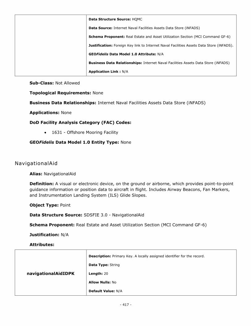
- 417 -
Data Structure Source: HQMC
Data Source: Internet Naval Facilities Assets Data Store (iNFADS)
Schema Proponent: Real Estate and Asset Utilization Section (MCI Command GF-6)
Justification: Foreign Key link to Internet Naval Facilities Assets Data Store (iNFADS).
GEOFidelis Data Model 1.0 Attribute: N/A
Business Data Relationships: Internet Naval Facilities Assets Data Store (iNFADS)
Application Link : N/A
Sub-Class: Not Allowed
Topological Requirements: None
Business Data Relationships: Internet Naval Facilities Assets Data Store (iNFADS)
Applications: None
DoD Facility Analysis Category (FAC) Codes:
1631 - Offshore Mooring Facility
GEOFidelis Data Model 1.0 Entity Type: None
NavigationalAid
Alias: NavigationalAid
Definition: A visual or electronic device, on the ground or airborne, which provides point-to-point
guidance information or position data to aircraft in flight. Includes Airway Beacons, Fan Markers,
and Instrumentation Landing System (ILS) Glide Slopes.
Object Type: Point
Data Structure Source: SDSFIE 3.0 - NavigationalAid
Schema Proponent: Real Estate and Asset Utilization Section (MCI Command GF-6)
Justification: N/A
Attributes:
navigationalAidIDPK
Description: Primary Key. A locally assigned identifier for the record.
Data Type: String
Length: 20
Allow Nulls: No
Default Value: N/A
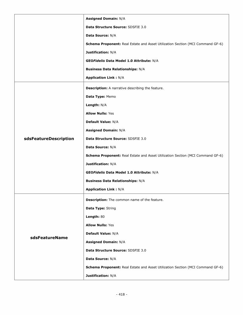
- 418 -
Assigned Domain: N/A
Data Structure Source: SDSFIE 3.0
Data Source: N/A
Schema Proponent: Real Estate and Asset Utilization Section (MCI Command GF-6)
Justification: N/A
GEOFidelis Data Model 1.0 Attribute: N/A
Business Data Relationships: N/A
Application Link : N/A
sdsFeatureDescription
Description: A narrative describing the feature.
Data Type: Memo
Length: N/A
Allow Nulls: Yes
Default Value: N/A
Assigned Domain: N/A
Data Structure Source: SDSFIE 3.0
Data Source: N/A
Schema Proponent: Real Estate and Asset Utilization Section (MCI Command GF-6)
Justification: N/A
GEOFidelis Data Model 1.0 Attribute: N/A
Business Data Relationships: N/A
Application Link : N/A
sdsFeatureName
Description: The common name of the feature.
Data Type: String
Length: 80
Allow Nulls: Yes
Default Value: N/A
Assigned Domain: N/A
Data Structure Source: SDSFIE 3.0
Data Source: N/A
Schema Proponent: Real Estate and Asset Utilization Section (MCI Command GF-6)
Justification: N/A
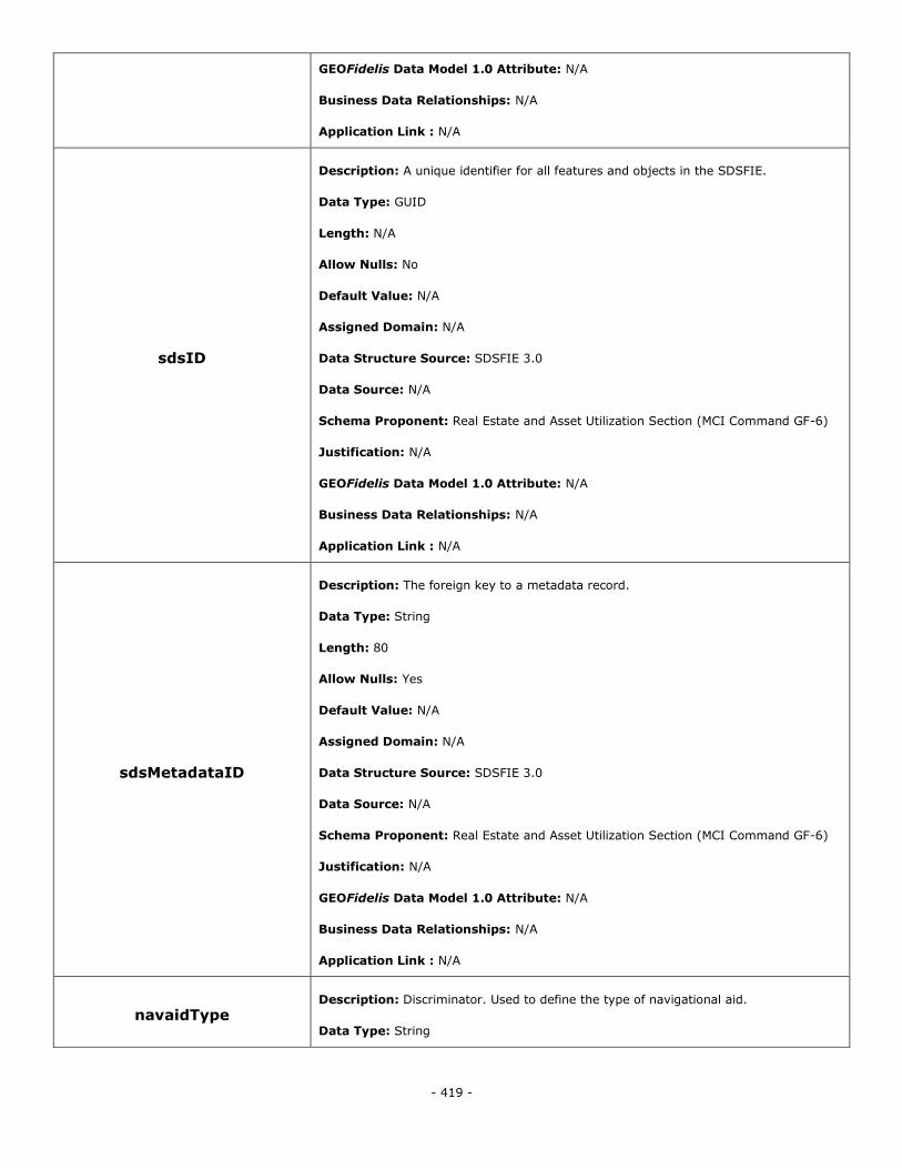
- 419 -
GEOFidelis Data Model 1.0 Attribute: N/A
Business Data Relationships: N/A
Application Link : N/A
sdsID
Description: A unique identifier for all features and objects in the SDSFIE.
Data Type: GUID
Length: N/A
Allow Nulls: No
Default Value: N/A
Assigned Domain: N/A
Data Structure Source: SDSFIE 3.0
Data Source: N/A
Schema Proponent: Real Estate and Asset Utilization Section (MCI Command GF-6)
Justification: N/A
GEOFidelis Data Model 1.0 Attribute: N/A
Business Data Relationships: N/A
Application Link : N/A
sdsMetadataID
Description: The foreign key to a metadata record.
Data Type: String
Length: 80
Allow Nulls: Yes
Default Value: N/A
Assigned Domain: N/A
Data Structure Source: SDSFIE 3.0
Data Source: N/A
Schema Proponent: Real Estate and Asset Utilization Section (MCI Command GF-6)
Justification: N/A
GEOFidelis Data Model 1.0 Attribute: N/A
Business Data Relationships: N/A
Application Link : N/A
navaidType Description: Discriminator. Used to define the type of navigational aid.
Data Type: String
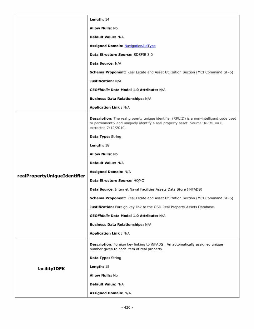
- 420 -
Length: 14
Allow Nulls: No
Default Value: N/A
Assigned Domain: NavigationAidType
Data Structure Source: SDSFIE 3.0
Data Source: N/A
Schema Proponent: Real Estate and Asset Utilization Section (MCI Command GF-6)
Justification: N/A
GEOFidelis Data Model 1.0 Attribute: N/A
Business Data Relationships: N/A
Application Link : N/A
realPropertyUniqueIdentifier
Description: The real property unique identifier (RPUID) is a non-intelligent code used
to permanently and uniquely identify a real property asset. Source: RPIM, v4.0,
extracted 7/12/2010.
Data Type: String
Length: 18
Allow Nulls: No
Default Value: N/A
Assigned Domain: N/A
Data Structure Source: HQMC
Data Source: Internet Naval Facilities Assets Data Store (iNFADS)
Schema Proponent: Real Estate and Asset Utilization Section (MCI Command GF-6)
Justification: Foreign key link to the OSD Real Property Assets Database.
GEOFidelis Data Model 1.0 Attribute: N/A
Business Data Relationships: N/A
Application Link : N/A
facilityIDFK
Description: Foreign key linking to iNFADS. An automatically assigned unique
number given to each item of real property.
Data Type: String
Length: 15
Allow Nulls: No
Default Value: N/A
Assigned Domain: N/A
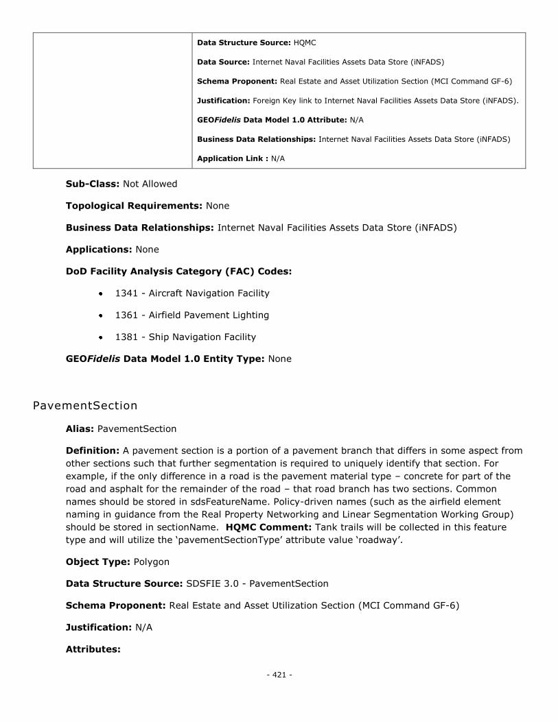
- 421 -
Data Structure Source: HQMC
Data Source: Internet Naval Facilities Assets Data Store (iNFADS)
Schema Proponent: Real Estate and Asset Utilization Section (MCI Command GF-6)
Justification: Foreign Key link to Internet Naval Facilities Assets Data Store (iNFADS).
GEOFidelis Data Model 1.0 Attribute: N/A
Business Data Relationships: Internet Naval Facilities Assets Data Store (iNFADS)
Application Link : N/A
Sub-Class: Not Allowed
Topological Requirements: None
Business Data Relationships: Internet Naval Facilities Assets Data Store (iNFADS)
Applications: None
DoD Facility Analysis Category (FAC) Codes:
1341 - Aircraft Navigation Facility
1361 - Airfield Pavement Lighting
1381 - Ship Navigation Facility
GEOFidelis Data Model 1.0 Entity Type: None
PavementSection
Alias: PavementSection
Definition: A pavement section is a portion of a pavement branch that differs in some aspect from
other sections such that further segmentation is required to uniquely identify that section. For
example, if the only difference in a road is the pavement material type – concrete for part of the
road and asphalt for the remainder of the road – that road branch has two sections. Common
names should be stored in sdsFeatureName. Policy-driven names (such as the airfield element
naming in guidance from the Real Property Networking and Linear Segmentation Working Group)
should be stored in sectionName. HQMC Comment: Tank trails will be collected in this feature
type and will utilize the ‗pavementSectionType‘ attribute value ‗roadway‘.
Object Type: Polygon
Data Structure Source: SDSFIE 3.0 - PavementSection
Schema Proponent: Real Estate and Asset Utilization Section (MCI Command GF-6)
Justification: N/A
Attributes:
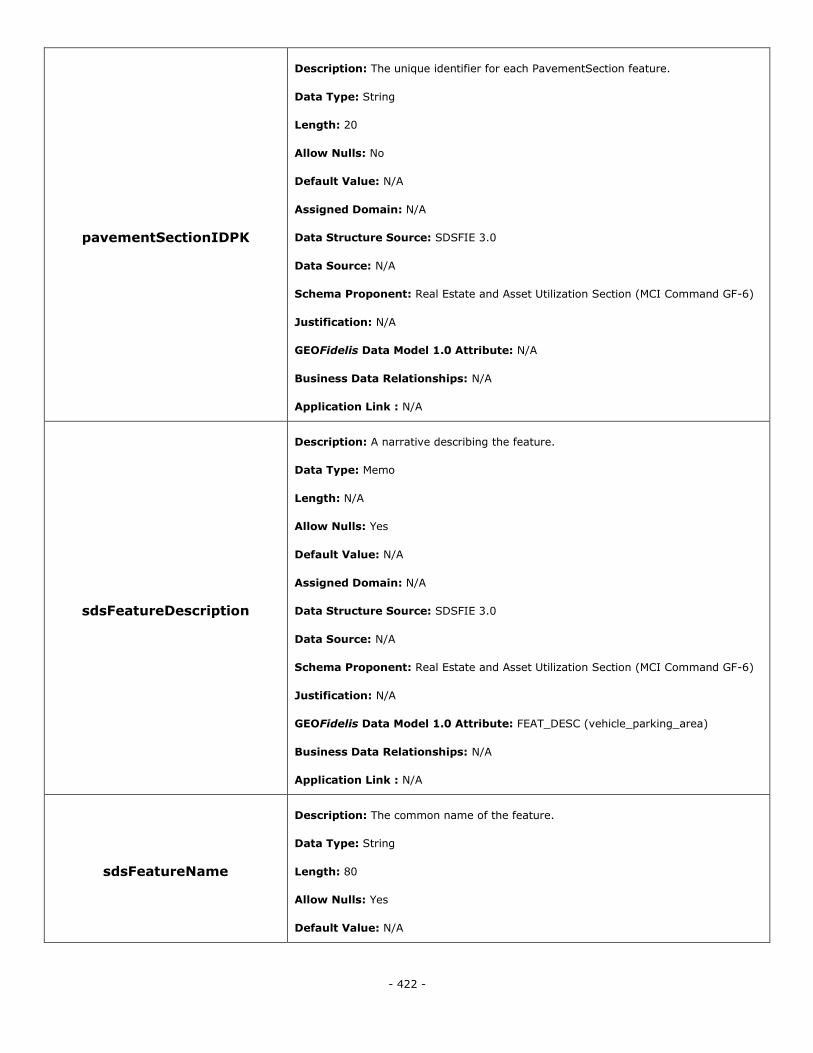
- 422 -
pavementSectionIDPK
Description: The unique identifier for each PavementSection feature.
Data Type: String
Length: 20
Allow Nulls: No
Default Value: N/A
Assigned Domain: N/A
Data Structure Source: SDSFIE 3.0
Data Source: N/A
Schema Proponent: Real Estate and Asset Utilization Section (MCI Command GF-6)
Justification: N/A
GEOFidelis Data Model 1.0 Attribute: N/A
Business Data Relationships: N/A
Application Link : N/A
sdsFeatureDescription
Description: A narrative describing the feature.
Data Type: Memo
Length: N/A
Allow Nulls: Yes
Default Value: N/A
Assigned Domain: N/A
Data Structure Source: SDSFIE 3.0
Data Source: N/A
Schema Proponent: Real Estate and Asset Utilization Section (MCI Command GF-6)
Justification: N/A
GEOFidelis Data Model 1.0 Attribute: FEAT_DESC (vehicle_parking_area)
Business Data Relationships: N/A
Application Link : N/A
sdsFeatureName
Description: The common name of the feature.
Data Type: String
Length: 80
Allow Nulls: Yes
Default Value: N/A
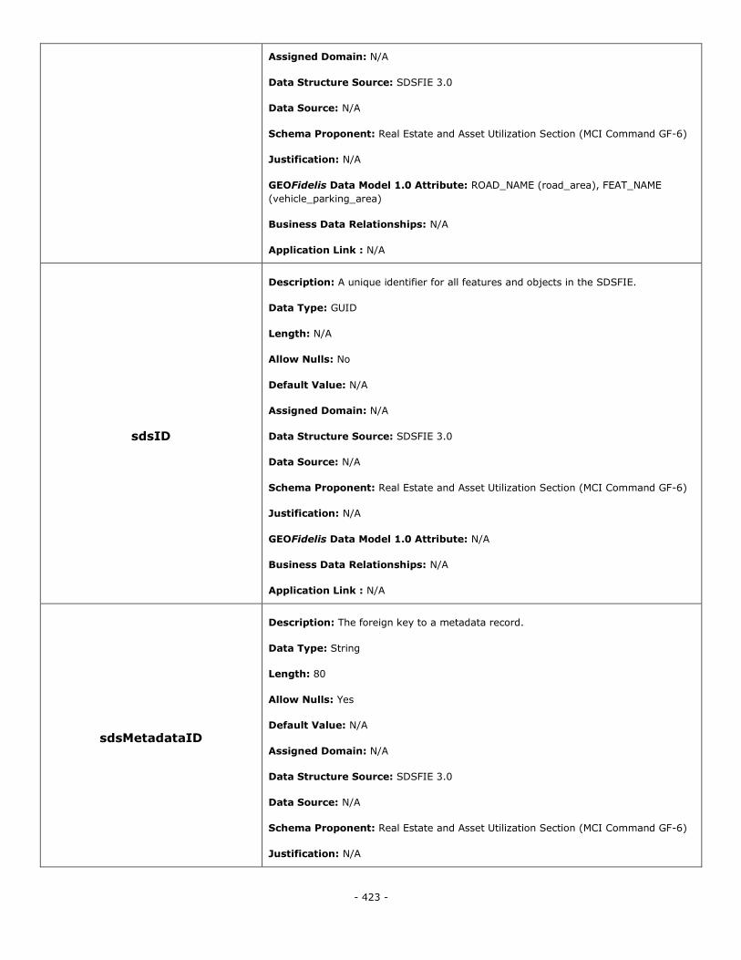
- 423 -
Assigned Domain: N/A
Data Structure Source: SDSFIE 3.0
Data Source: N/A
Schema Proponent: Real Estate and Asset Utilization Section (MCI Command GF-6)
Justification: N/A
GEOFidelis Data Model 1.0 Attribute: ROAD_NAME (road_area), FEAT_NAME
(vehicle_parking_area)
Business Data Relationships: N/A
Application Link : N/A
sdsID
Description: A unique identifier for all features and objects in the SDSFIE.
Data Type: GUID
Length: N/A
Allow Nulls: No
Default Value: N/A
Assigned Domain: N/A
Data Structure Source: SDSFIE 3.0
Data Source: N/A
Schema Proponent: Real Estate and Asset Utilization Section (MCI Command GF-6)
Justification: N/A
GEOFidelis Data Model 1.0 Attribute: N/A
Business Data Relationships: N/A
Application Link : N/A
sdsMetadataID
Description: The foreign key to a metadata record.
Data Type: String
Length: 80
Allow Nulls: Yes
Default Value: N/A
Assigned Domain: N/A
Data Structure Source: SDSFIE 3.0
Data Source: N/A
Schema Proponent: Real Estate and Asset Utilization Section (MCI Command GF-6)
Justification: N/A
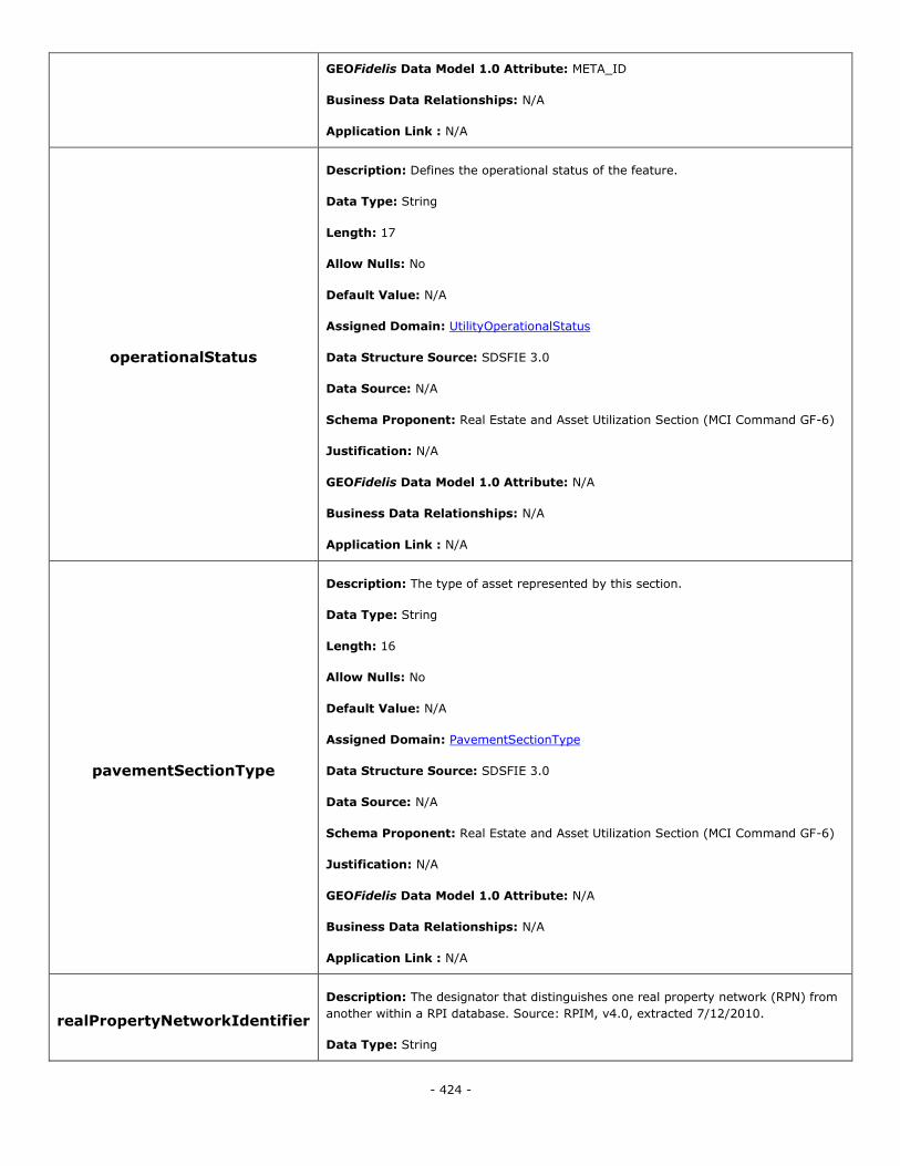
- 424 -
GEOFidelis Data Model 1.0 Attribute: META_ID
Business Data Relationships: N/A
Application Link : N/A
operationalStatus
Description: Defines the operational status of the feature.
Data Type: String
Length: 17
Allow Nulls: No
Default Value: N/A
Assigned Domain: UtilityOperationalStatus
Data Structure Source: SDSFIE 3.0
Data Source: N/A
Schema Proponent: Real Estate and Asset Utilization Section (MCI Command GF-6)
Justification: N/A
GEOFidelis Data Model 1.0 Attribute: N/A
Business Data Relationships: N/A
Application Link : N/A
pavementSectionType
Description: The type of asset represented by this section.
Data Type: String
Length: 16
Allow Nulls: No
Default Value: N/A
Assigned Domain: PavementSectionType
Data Structure Source: SDSFIE 3.0
Data Source: N/A
Schema Proponent: Real Estate and Asset Utilization Section (MCI Command GF-6)
Justification: N/A
GEOFidelis Data Model 1.0 Attribute: N/A
Business Data Relationships: N/A
Application Link : N/A
realPropertyNetworkIdentifier
Description: The designator that distinguishes one real property network (RPN) from
another within a RPI database. Source: RPIM, v4.0, extracted 7/12/2010.
Data Type: String
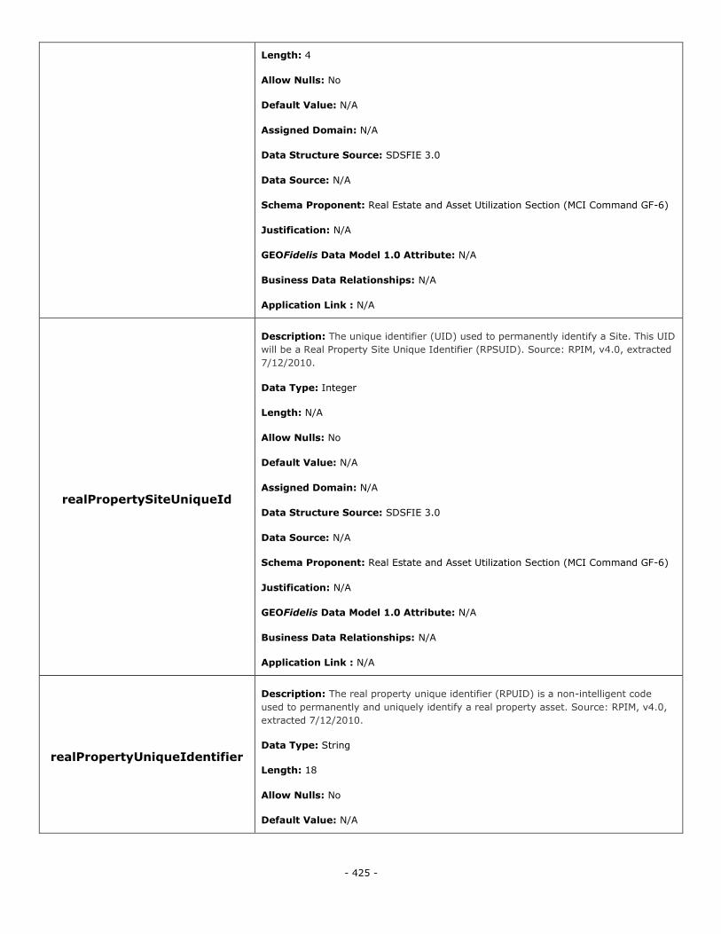
- 425 -
Length: 4
Allow Nulls: No
Default Value: N/A
Assigned Domain: N/A
Data Structure Source: SDSFIE 3.0
Data Source: N/A
Schema Proponent: Real Estate and Asset Utilization Section (MCI Command GF-6)
Justification: N/A
GEOFidelis Data Model 1.0 Attribute: N/A
Business Data Relationships: N/A
Application Link : N/A
realPropertySiteUniqueId
Description: The unique identifier (UID) used to permanently identify a Site. This UID
will be a Real Property Site Unique Identifier (RPSUID). Source: RPIM, v4.0, extracted
7/12/2010.
Data Type: Integer
Length: N/A
Allow Nulls: No
Default Value: N/A
Assigned Domain: N/A
Data Structure Source: SDSFIE 3.0
Data Source: N/A
Schema Proponent: Real Estate and Asset Utilization Section (MCI Command GF-6)
Justification: N/A
GEOFidelis Data Model 1.0 Attribute: N/A
Business Data Relationships: N/A
Application Link : N/A
realPropertyUniqueIdentifier
Description: The real property unique identifier (RPUID) is a non-intelligent code
used to permanently and uniquely identify a real property asset. Source: RPIM, v4.0,
extracted 7/12/2010.
Data Type: String
Length: 18
Allow Nulls: No
Default Value: N/A
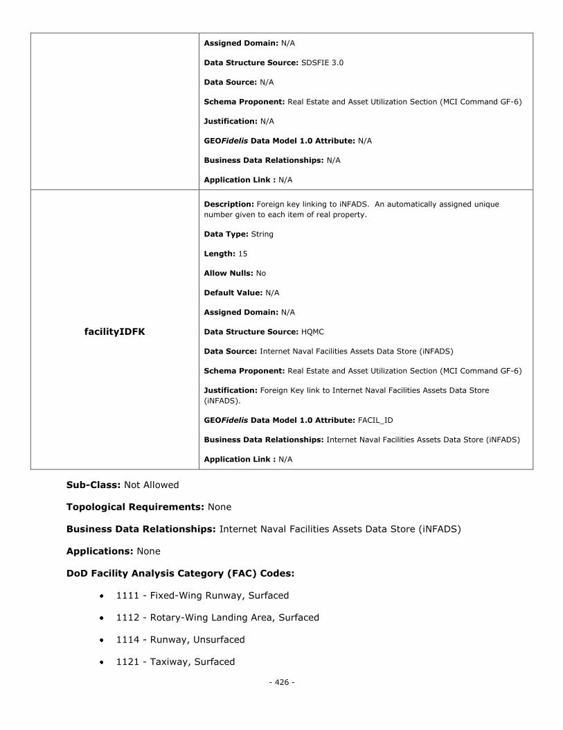
- 426 -
Assigned Domain: N/A
Data Structure Source: SDSFIE 3.0
Data Source: N/A
Schema Proponent: Real Estate and Asset Utilization Section (MCI Command GF-6)
Justification: N/A
GEOFidelis Data Model 1.0 Attribute: N/A
Business Data Relationships: N/A
Application Link : N/A
facilityIDFK
Description: Foreign key linking to iNFADS. An automatically assigned unique
number given to each item of real property.
Data Type: String
Length: 15
Allow Nulls: No
Default Value: N/A
Assigned Domain: N/A
Data Structure Source: HQMC
Data Source: Internet Naval Facilities Assets Data Store (iNFADS)
Schema Proponent: Real Estate and Asset Utilization Section (MCI Command GF-6)
Justification: Foreign Key link to Internet Naval Facilities Assets Data Store
(iNFADS).
GEOFidelis Data Model 1.0 Attribute: FACIL_ID
Business Data Relationships: Internet Naval Facilities Assets Data Store (iNFADS)
Application Link : N/A
Sub-Class: Not Allowed
Topological Requirements: None
Business Data Relationships: Internet Naval Facilities Assets Data Store (iNFADS)
Applications: None
DoD Facility Analysis Category (FAC) Codes:
1111 - Fixed-Wing Runway, Surfaced
1112 - Rotary-Wing Landing Area, Surfaced
1114 - Runway, Unsurfaced
1121 - Taxiway, Surfaced
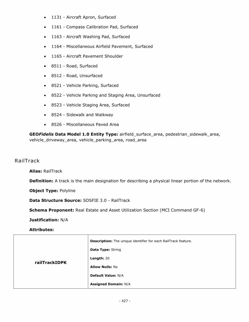
- 427 -
1131 - Aircraft Apron, Surfaced
1161 - Compass Calibration Pad, Surfaced
1163 - Aircraft Washing Pad, Surfaced
1164 - Miscellaneous Airfield Pavement, Surfaced
1165 - Aircraft Pavement Shoulder
8511 - Road, Surfaced
8512 - Road, Unsurfaced
8521 - Vehicle Parking, Surfaced
8522 - Vehicle Parking and Staging Area, Unsurfaced
8523 - Vehicle Staging Area, Surfaced
8524 - Sidewalk and Walkway
8526 - Miscellaneous Paved Area
GEOFidelis Data Model 1.0 Entity Type: airfield_surface_area, pedestrian_sidewalk_area,
vehicle_driveway_area, vehicle_parking_area, road_area
RailTrack
Alias: RailTrack
Definition: A track is the main designation for describing a physical linear portion of the network.
Object Type: Polyline
Data Structure Source: SDSFIE 3.0 - RailTrack
Schema Proponent: Real Estate and Asset Utilization Section (MCI Command GF-6)
Justification: N/A
Attributes:
railTrackIDPK
Description: The unique identifier for each RailTrack feature.
Data Type: String
Length: 20
Allow Nulls: No
Default Value: N/A
Assigned Domain: N/A
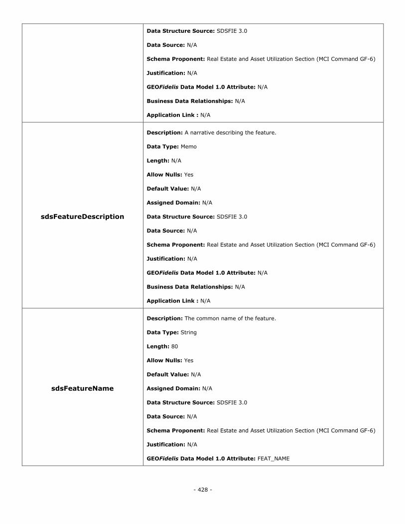
- 428 -
Data Structure Source: SDSFIE 3.0
Data Source: N/A
Schema Proponent: Real Estate and Asset Utilization Section (MCI Command GF-6)
Justification: N/A
GEOFidelis Data Model 1.0 Attribute: N/A
Business Data Relationships: N/A
Application Link : N/A
sdsFeatureDescription
Description: A narrative describing the feature.
Data Type: Memo
Length: N/A
Allow Nulls: Yes
Default Value: N/A
Assigned Domain: N/A
Data Structure Source: SDSFIE 3.0
Data Source: N/A
Schema Proponent: Real Estate and Asset Utilization Section (MCI Command GF-6)
Justification: N/A
GEOFidelis Data Model 1.0 Attribute: N/A
Business Data Relationships: N/A
Application Link : N/A
sdsFeatureName
Description: The common name of the feature.
Data Type: String
Length: 80
Allow Nulls: Yes
Default Value: N/A
Assigned Domain: N/A
Data Structure Source: SDSFIE 3.0
Data Source: N/A
Schema Proponent: Real Estate and Asset Utilization Section (MCI Command GF-6)
Justification: N/A
GEOFidelis Data Model 1.0 Attribute: FEAT_NAME
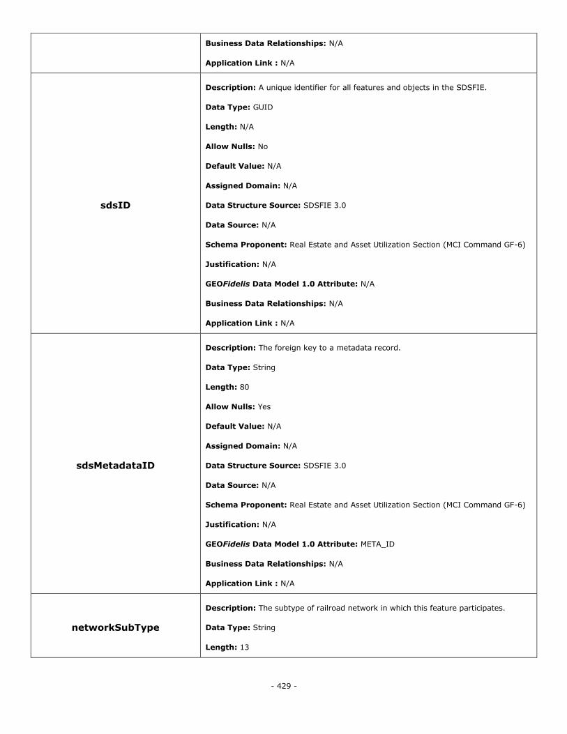
- 429 -
Business Data Relationships: N/A
Application Link : N/A
sdsID
Description: A unique identifier for all features and objects in the SDSFIE.
Data Type: GUID
Length: N/A
Allow Nulls: No
Default Value: N/A
Assigned Domain: N/A
Data Structure Source: SDSFIE 3.0
Data Source: N/A
Schema Proponent: Real Estate and Asset Utilization Section (MCI Command GF-6)
Justification: N/A
GEOFidelis Data Model 1.0 Attribute: N/A
Business Data Relationships: N/A
Application Link : N/A
sdsMetadataID
Description: The foreign key to a metadata record.
Data Type: String
Length: 80
Allow Nulls: Yes
Default Value: N/A
Assigned Domain: N/A
Data Structure Source: SDSFIE 3.0
Data Source: N/A
Schema Proponent: Real Estate and Asset Utilization Section (MCI Command GF-6)
Justification: N/A
GEOFidelis Data Model 1.0 Attribute: META_ID
Business Data Relationships: N/A
Application Link : N/A
networkSubType
Description: The subtype of railroad network in which this feature participates.
Data Type: String
Length: 13
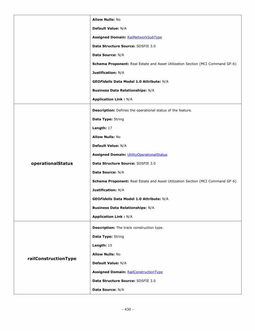
- 430 -
Allow Nulls: No
Default Value: N/A
Assigned Domain: RailNetworkSubType
Data Structure Source: SDSFIE 3.0
Data Source: N/A
Schema Proponent: Real Estate and Asset Utilization Section (MCI Command GF-6)
Justification: N/A
GEOFidelis Data Model 1.0 Attribute: N/A
Business Data Relationships: N/A
Application Link : N/A
operationalStatus
Description: Defines the operational status of the feature.
Data Type: String
Length: 17
Allow Nulls: No
Default Value: N/A
Assigned Domain: UtilityOperationalStatus
Data Structure Source: SDSFIE 3.0
Data Source: N/A
Schema Proponent: Real Estate and Asset Utilization Section (MCI Command GF-6)
Justification: N/A
GEOFidelis Data Model 1.0 Attribute: N/A
Business Data Relationships: N/A
Application Link : N/A
railConstructionType
Description: The track construction type.
Data Type: String
Length: 15
Allow Nulls: No
Default Value: N/A
Assigned Domain: RailConstructionType
Data Structure Source: SDSFIE 3.0
Data Source: N/A
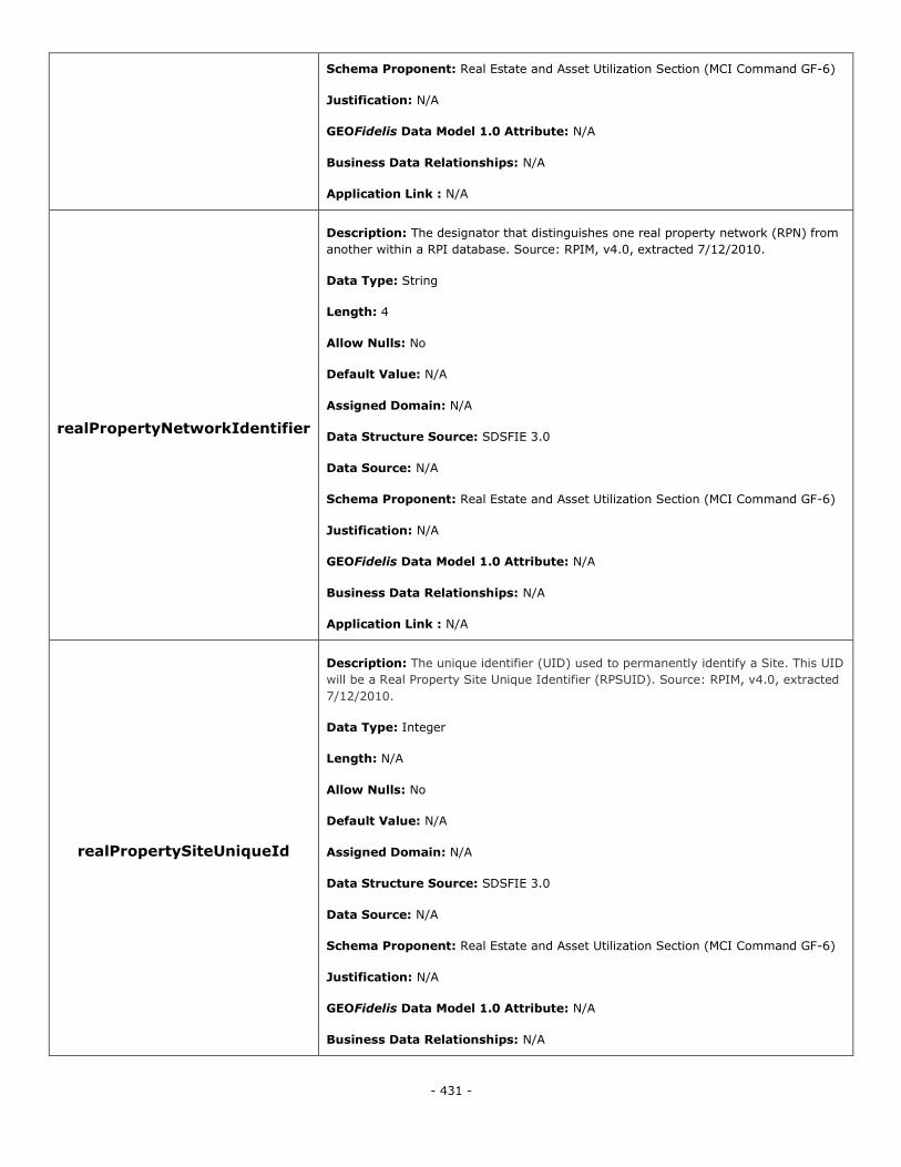
- 431 -
Schema Proponent: Real Estate and Asset Utilization Section (MCI Command GF-6)
Justification: N/A
GEOFidelis Data Model 1.0 Attribute: N/A
Business Data Relationships: N/A
Application Link : N/A
realPropertyNetworkIdentifier
Description: The designator that distinguishes one real property network (RPN) from
another within a RPI database. Source: RPIM, v4.0, extracted 7/12/2010.
Data Type: String
Length: 4
Allow Nulls: No
Default Value: N/A
Assigned Domain: N/A
Data Structure Source: SDSFIE 3.0
Data Source: N/A
Schema Proponent: Real Estate and Asset Utilization Section (MCI Command GF-6)
Justification: N/A
GEOFidelis Data Model 1.0 Attribute: N/A
Business Data Relationships: N/A
Application Link : N/A
realPropertySiteUniqueId
Description: The unique identifier (UID) used to permanently identify a Site. This UID
will be a Real Property Site Unique Identifier (RPSUID). Source: RPIM, v4.0, extracted
7/12/2010.
Data Type: Integer
Length: N/A
Allow Nulls: No
Default Value: N/A
Assigned Domain: N/A
Data Structure Source: SDSFIE 3.0
Data Source: N/A
Schema Proponent: Real Estate and Asset Utilization Section (MCI Command GF-6)
Justification: N/A
GEOFidelis Data Model 1.0 Attribute: N/A
Business Data Relationships: N/A
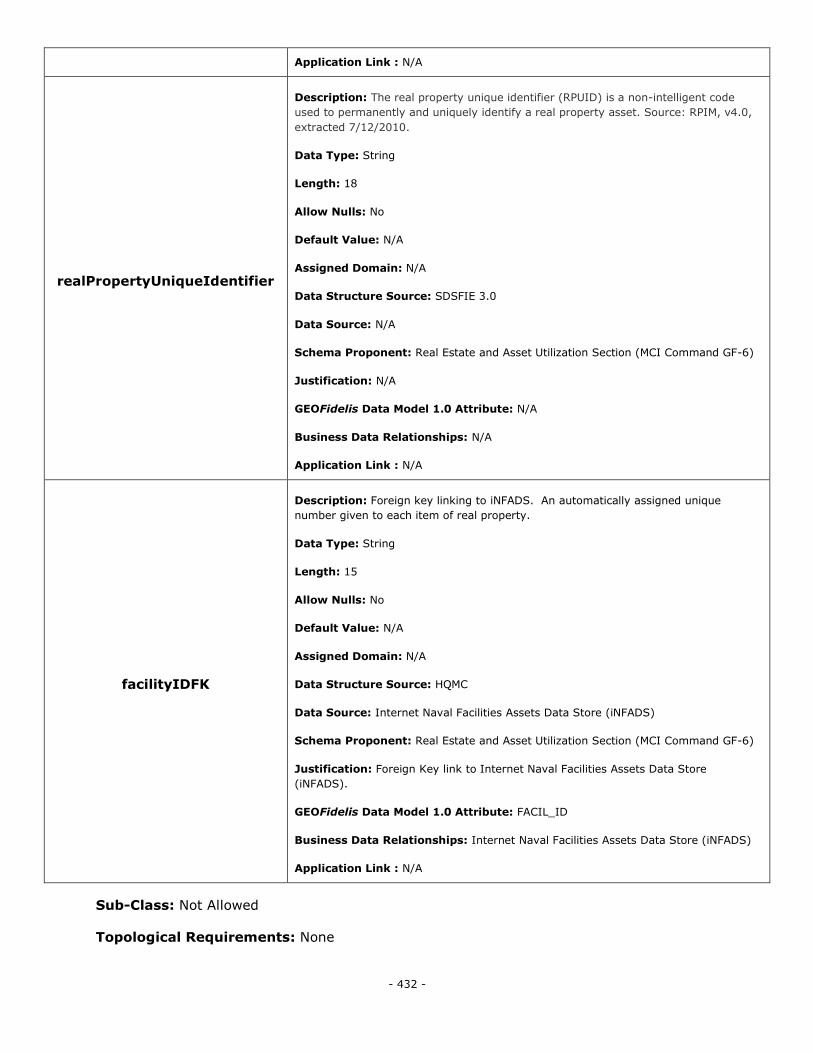
- 432 -
Application Link : N/A
realPropertyUniqueIdentifier
Description: The real property unique identifier (RPUID) is a non-intelligent code
used to permanently and uniquely identify a real property asset. Source: RPIM, v4.0,
extracted 7/12/2010.
Data Type: String
Length: 18
Allow Nulls: No
Default Value: N/A
Assigned Domain: N/A
Data Structure Source: SDSFIE 3.0
Data Source: N/A
Schema Proponent: Real Estate and Asset Utilization Section (MCI Command GF-6)
Justification: N/A
GEOFidelis Data Model 1.0 Attribute: N/A
Business Data Relationships: N/A
Application Link : N/A
facilityIDFK
Description: Foreign key linking to iNFADS. An automatically assigned unique
number given to each item of real property.
Data Type: String
Length: 15
Allow Nulls: No
Default Value: N/A
Assigned Domain: N/A
Data Structure Source: HQMC
Data Source: Internet Naval Facilities Assets Data Store (iNFADS)
Schema Proponent: Real Estate and Asset Utilization Section (MCI Command GF-6)
Justification: Foreign Key link to Internet Naval Facilities Assets Data Store
(iNFADS).
GEOFidelis Data Model 1.0 Attribute: FACIL_ID
Business Data Relationships: Internet Naval Facilities Assets Data Store (iNFADS)
Application Link : N/A
Sub-Class: Not Allowed
Topological Requirements: None
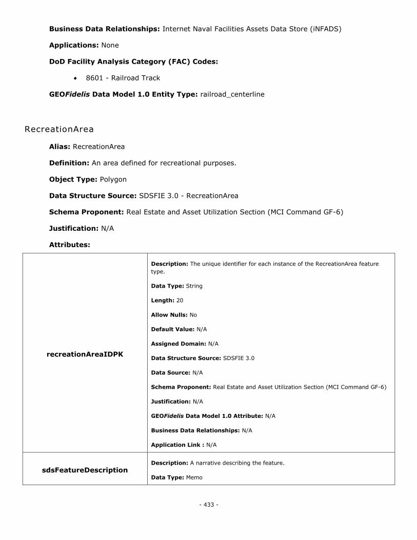
- 433 -
Business Data Relationships: Internet Naval Facilities Assets Data Store (iNFADS)
Applications: None
DoD Facility Analysis Category (FAC) Codes:
8601 - Railroad Track
GEOFidelis Data Model 1.0 Entity Type: railroad_centerline
RecreationArea
Alias: RecreationArea
Definition: An area defined for recreational purposes.
Object Type: Polygon
Data Structure Source: SDSFIE 3.0 - RecreationArea
Schema Proponent: Real Estate and Asset Utilization Section (MCI Command GF-6)
Justification: N/A
Attributes:
recreationAreaIDPK
Description: The unique identifier for each instance of the RecreationArea feature
type.
Data Type: String
Length: 20
Allow Nulls: No
Default Value: N/A
Assigned Domain: N/A
Data Structure Source: SDSFIE 3.0
Data Source: N/A
Schema Proponent: Real Estate and Asset Utilization Section (MCI Command GF-6)
Justification: N/A
GEOFidelis Data Model 1.0 Attribute: N/A
Business Data Relationships: N/A
Application Link : N/A
sdsFeatureDescription Description: A narrative describing the feature.
Data Type: Memo
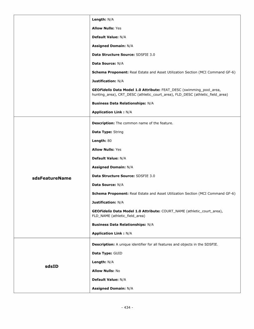
- 434 -
Length: N/A
Allow Nulls: Yes
Default Value: N/A
Assigned Domain: N/A
Data Structure Source: SDSFIE 3.0
Data Source: N/A
Schema Proponent: Real Estate and Asset Utilization Section (MCI Command GF-6)
Justification: N/A
GEOFidelis Data Model 1.0 Attribute: FEAT_DESC (swimming_pool_area,
hunting_area), CRT_DESC (athletic_court_area), FLD_DESC (athletic_field_area)
Business Data Relationships: N/A
Application Link : N/A
sdsFeatureName
Description: The common name of the feature.
Data Type: String
Length: 80
Allow Nulls: Yes
Default Value: N/A
Assigned Domain: N/A
Data Structure Source: SDSFIE 3.0
Data Source: N/A
Schema Proponent: Real Estate and Asset Utilization Section (MCI Command GF-6)
Justification: N/A
GEOFidelis Data Model 1.0 Attribute: COURT_NAME (athletic_court_area),
FLD_NAME (athletic_field_area)
Business Data Relationships: N/A
Application Link : N/A
sdsID
Description: A unique identifier for all features and objects in the SDSFIE.
Data Type: GUID
Length: N/A
Allow Nulls: No
Default Value: N/A
Assigned Domain: N/A
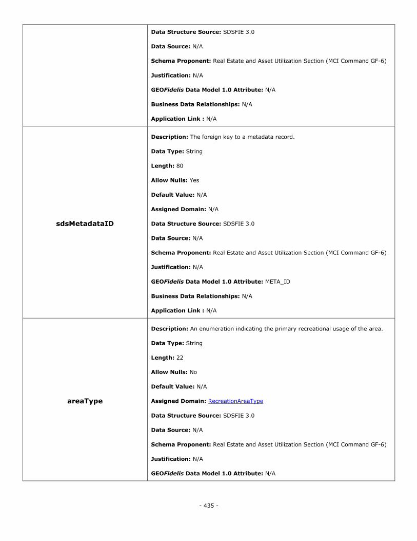
- 435 -
Data Structure Source: SDSFIE 3.0
Data Source: N/A
Schema Proponent: Real Estate and Asset Utilization Section (MCI Command GF-6)
Justification: N/A
GEOFidelis Data Model 1.0 Attribute: N/A
Business Data Relationships: N/A
Application Link : N/A
sdsMetadataID
Description: The foreign key to a metadata record.
Data Type: String
Length: 80
Allow Nulls: Yes
Default Value: N/A
Assigned Domain: N/A
Data Structure Source: SDSFIE 3.0
Data Source: N/A
Schema Proponent: Real Estate and Asset Utilization Section (MCI Command GF-6)
Justification: N/A
GEOFidelis Data Model 1.0 Attribute: META_ID
Business Data Relationships: N/A
Application Link : N/A
areaType
Description: An enumeration indicating the primary recreational usage of the area.
Data Type: String
Length: 22
Allow Nulls: No
Default Value: N/A
Assigned Domain: RecreationAreaType
Data Structure Source: SDSFIE 3.0
Data Source: N/A
Schema Proponent: Real Estate and Asset Utilization Section (MCI Command GF-6)
Justification: N/A
GEOFidelis Data Model 1.0 Attribute: N/A
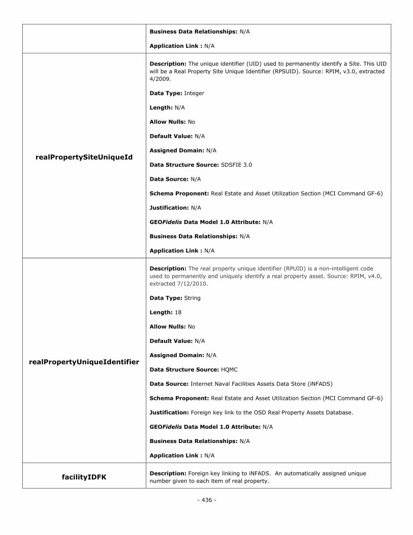
- 436 -
Business Data Relationships: N/A
Application Link : N/A
realPropertySiteUniqueId
Description: The unique identifier (UID) used to permanently identify a Site. This UID
will be a Real Property Site Unique Identifier (RPSUID). Source: RPIM, v3.0, extracted
4/2009.
Data Type: Integer
Length: N/A
Allow Nulls: No
Default Value: N/A
Assigned Domain: N/A
Data Structure Source: SDSFIE 3.0
Data Source: N/A
Schema Proponent: Real Estate and Asset Utilization Section (MCI Command GF-6)
Justification: N/A
GEOFidelis Data Model 1.0 Attribute: N/A
Business Data Relationships: N/A
Application Link : N/A
realPropertyUniqueIdentifier
Description: The real property unique identifier (RPUID) is a non-intelligent code
used to permanently and uniquely identify a real property asset. Source: RPIM, v4.0,
extracted 7/12/2010.
Data Type: String
Length: 18
Allow Nulls: No
Default Value: N/A
Assigned Domain: N/A
Data Structure Source: HQMC
Data Source: Internet Naval Facilities Assets Data Store (iNFADS)
Schema Proponent: Real Estate and Asset Utilization Section (MCI Command GF-6)
Justification: Foreign key link to the OSD Real Property Assets Database.
GEOFidelis Data Model 1.0 Attribute: N/A
Business Data Relationships: N/A
Application Link : N/A
facilityIDFK Description: Foreign key linking to iNFADS. An automatically assigned unique
number given to each item of real property.
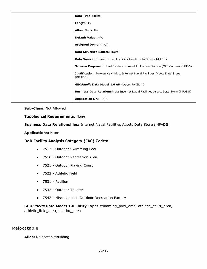
- 437 -
Data Type: String
Length: 15
Allow Nulls: No
Default Value: N/A
Assigned Domain: N/A
Data Structure Source: HQMC
Data Source: Internet Naval Facilities Assets Data Store (iNFADS)
Schema Proponent: Real Estate and Asset Utilization Section (MCI Command GF-6)
Justification: Foreign Key link to Internet Naval Facilities Assets Data Store
(iNFADS).
GEOFidelis Data Model 1.0 Attribute: FACIL_ID
Business Data Relationships: Internet Naval Facilities Assets Data Store (iNFADS)
Application Link : N/A
Sub-Class: Not Allowed
Topological Requirements: None
Business Data Relationships: Internet Naval Facilities Assets Data Store (iNFADS)
Applications: None
DoD Facility Analysis Category (FAC) Codes:
7512 - Outdoor Swimming Pool
7516 - Outdoor Recreation Area
7521 - Outdoor Playing Court
7522 - Athletic Field
7531 - Pavilion
7532 - Outdoor Theater
7542 - Miscellaneous Outdoor Recreation Facility
GEOFidelis Data Model 1.0 Entity Type: swimming_pool_area, athletic_court_area,
athletic_field_area, hunting_area
Relocatable
Alias: RelocatableBuilding
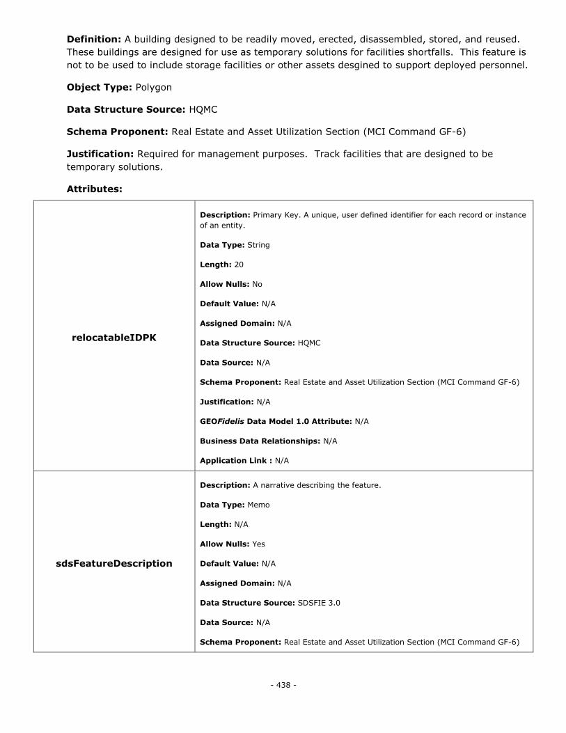
- 438 -
Definition: A building designed to be readily moved, erected, disassembled, stored, and reused.
These buildings are designed for use as temporary solutions for facilities shortfalls. This feature is
not to be used to include storage facilities or other assets desgined to support deployed personnel.
Object Type: Polygon
Data Structure Source: HQMC
Schema Proponent: Real Estate and Asset Utilization Section (MCI Command GF-6)
Justification: Required for management purposes. Track facilities that are designed to be
temporary solutions.
Attributes:
relocatableIDPK
Description: Primary Key. A unique, user defined identifier for each record or instance
of an entity.
Data Type: String
Length: 20
Allow Nulls: No
Default Value: N/A
Assigned Domain: N/A
Data Structure Source: HQMC
Data Source: N/A
Schema Proponent: Real Estate and Asset Utilization Section (MCI Command GF-6)
Justification: N/A
GEOFidelis Data Model 1.0 Attribute: N/A
Business Data Relationships: N/A
Application Link : N/A
sdsFeatureDescription
Description: A narrative describing the feature.
Data Type: Memo
Length: N/A
Allow Nulls: Yes
Default Value: N/A
Assigned Domain: N/A
Data Structure Source: SDSFIE 3.0
Data Source: N/A
Schema Proponent: Real Estate and Asset Utilization Section (MCI Command GF-6)

- 439 -
Justification: N/A
GEOFidelis Data Model 1.0 Attribute: N/A
Business Data Relationships: N/A
Application Link : N/A
sdsFeatureName
Description: The common name of the feature.
Data Type: String
Length: 80
Allow Nulls: Yes
Default Value: N/A
Assigned Domain: N/A
Data Structure Source: SDSFIE 3.0
Data Source: N/A
Schema Proponent: Real Estate and Asset Utilization Section (MCI Command GF-6)
Justification: N/A
GEOFidelis Data Model 1.0 Attribute: N/A
Business Data Relationships: N/A
Application Link : N/A
sdsID
Description: A unique identifier for all features and objects in the SDSFIE.
Data Type: GUID
Length: N/A
Allow Nulls: No
Default Value: N/A
Assigned Domain: N/A
Data Structure Source: SDSFIE 3.0
Data Source: N/A
Schema Proponent: Real Estate and Asset Utilization Section (MCI Command GF-6)
Justification: N/A
GEOFidelis Data Model 1.0 Attribute: N/A
Business Data Relationships: N/A
Application Link : N/A
sdsMetadataID Description: The foreign key to a metadata record.
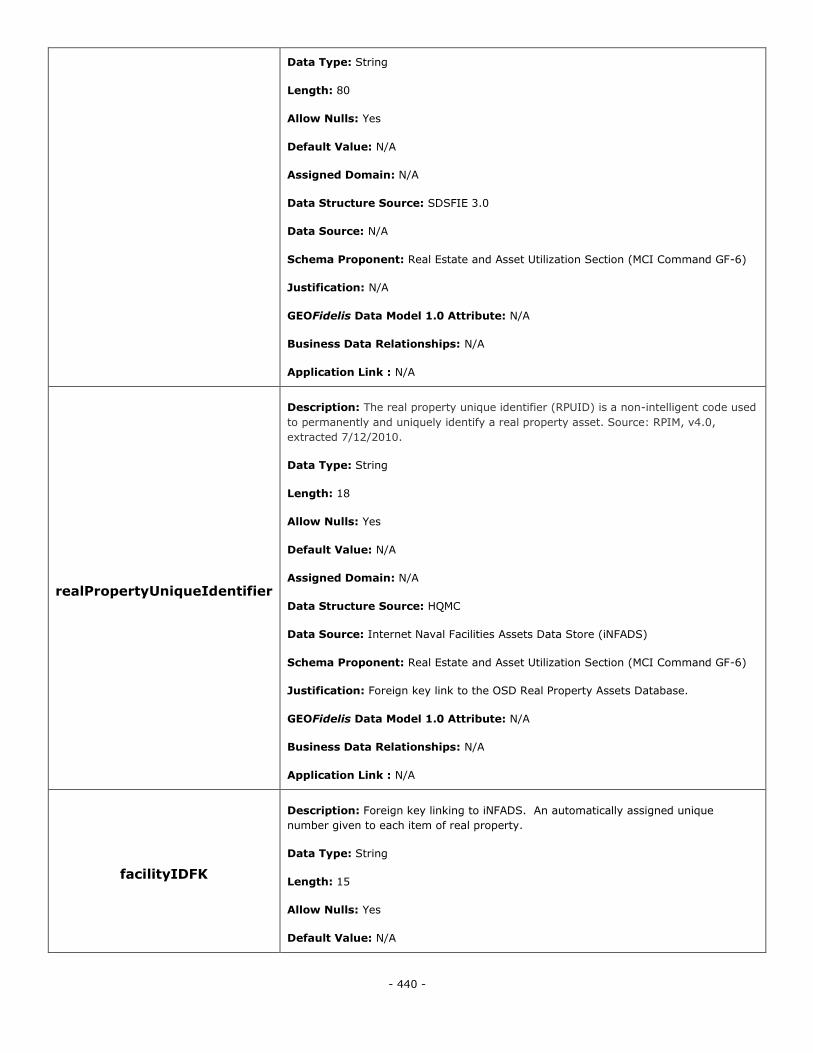
- 440 -
Data Type: String
Length: 80
Allow Nulls: Yes
Default Value: N/A
Assigned Domain: N/A
Data Structure Source: SDSFIE 3.0
Data Source: N/A
Schema Proponent: Real Estate and Asset Utilization Section (MCI Command GF-6)
Justification: N/A
GEOFidelis Data Model 1.0 Attribute: N/A
Business Data Relationships: N/A
Application Link : N/A
realPropertyUniqueIdentifier
Description: The real property unique identifier (RPUID) is a non-intelligent code used
to permanently and uniquely identify a real property asset. Source: RPIM, v4.0,
extracted 7/12/2010.
Data Type: String
Length: 18
Allow Nulls: Yes
Default Value: N/A
Assigned Domain: N/A
Data Structure Source: HQMC
Data Source: Internet Naval Facilities Assets Data Store (iNFADS)
Schema Proponent: Real Estate and Asset Utilization Section (MCI Command GF-6)
Justification: Foreign key link to the OSD Real Property Assets Database.
GEOFidelis Data Model 1.0 Attribute: N/A
Business Data Relationships: N/A
Application Link : N/A
facilityIDFK
Description: Foreign key linking to iNFADS. An automatically assigned unique
number given to each item of real property.
Data Type: String
Length: 15
Allow Nulls: Yes
Default Value: N/A
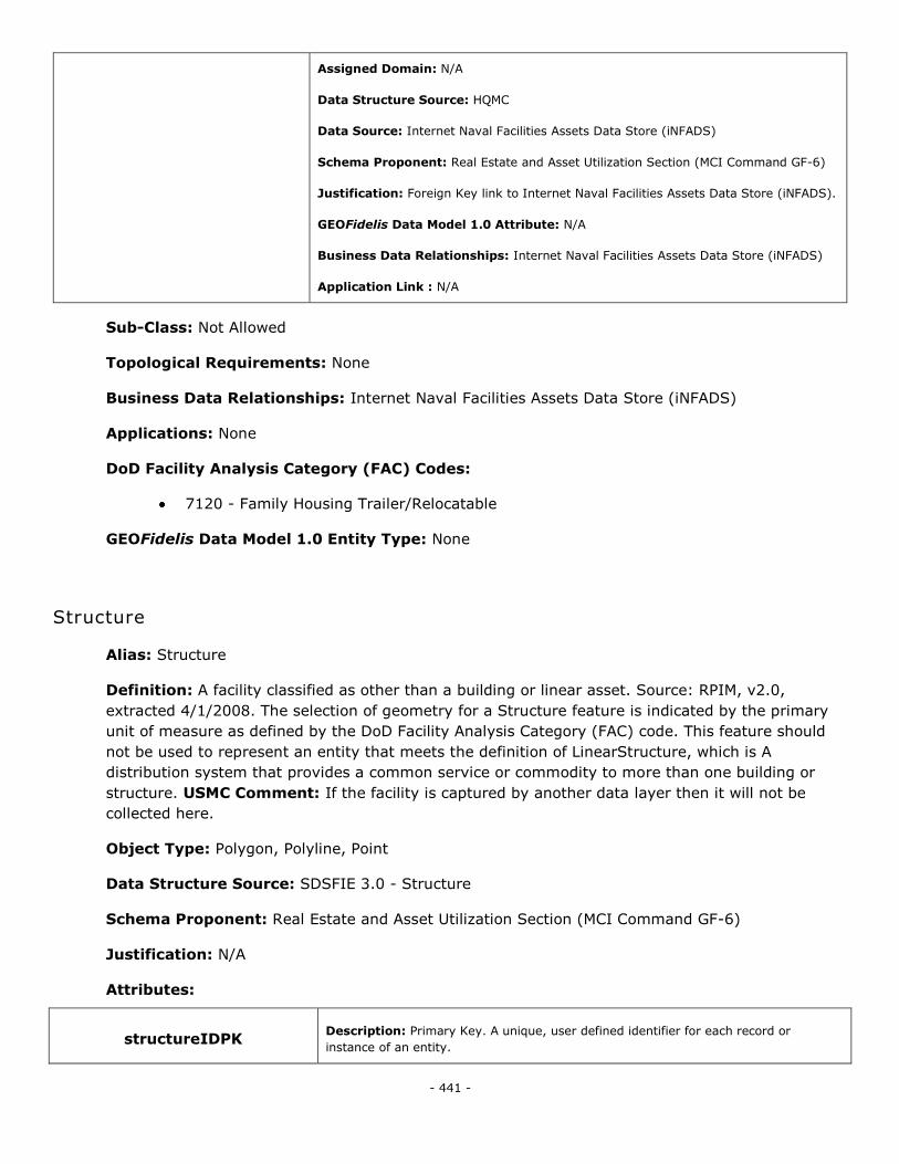
- 441 -
Assigned Domain: N/A
Data Structure Source: HQMC
Data Source: Internet Naval Facilities Assets Data Store (iNFADS)
Schema Proponent: Real Estate and Asset Utilization Section (MCI Command GF-6)
Justification: Foreign Key link to Internet Naval Facilities Assets Data Store (iNFADS).
GEOFidelis Data Model 1.0 Attribute: N/A
Business Data Relationships: Internet Naval Facilities Assets Data Store (iNFADS)
Application Link : N/A
Sub-Class: Not Allowed
Topological Requirements: None
Business Data Relationships: Internet Naval Facilities Assets Data Store (iNFADS)
Applications: None
DoD Facility Analysis Category (FAC) Codes:
7120 - Family Housing Trailer/Relocatable
GEOFidelis Data Model 1.0 Entity Type: None
Structure
Alias: Structure
Definition: A facility classified as other than a building or linear asset. Source: RPIM, v2.0,
extracted 4/1/2008. The selection of geometry for a Structure feature is indicated by the primary
unit of measure as defined by the DoD Facility Analysis Category (FAC) code. This feature should
not be used to represent an entity that meets the definition of LinearStructure, which is A
distribution system that provides a common service or commodity to more than one building or
structure. USMC Comment: If the facility is captured by another data layer then it will not be
collected here.
Object Type: Polygon, Polyline, Point
Data Structure Source: SDSFIE 3.0 - Structure
Schema Proponent: Real Estate and Asset Utilization Section (MCI Command GF-6)
Justification: N/A
Attributes:
structureIDPK Description: Primary Key. A unique, user defined identifier for each record or
instance of an entity.
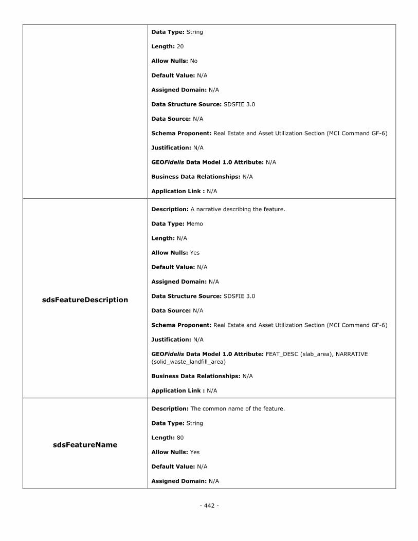
- 442 -
Data Type: String
Length: 20
Allow Nulls: No
Default Value: N/A
Assigned Domain: N/A
Data Structure Source: SDSFIE 3.0
Data Source: N/A
Schema Proponent: Real Estate and Asset Utilization Section (MCI Command GF-6)
Justification: N/A
GEOFidelis Data Model 1.0 Attribute: N/A
Business Data Relationships: N/A
Application Link : N/A
sdsFeatureDescription
Description: A narrative describing the feature.
Data Type: Memo
Length: N/A
Allow Nulls: Yes
Default Value: N/A
Assigned Domain: N/A
Data Structure Source: SDSFIE 3.0
Data Source: N/A
Schema Proponent: Real Estate and Asset Utilization Section (MCI Command GF-6)
Justification: N/A
GEOFidelis Data Model 1.0 Attribute: FEAT_DESC (slab_area), NARRATIVE
(solid_waste_landfill_area)
Business Data Relationships: N/A
Application Link : N/A
sdsFeatureName
Description: The common name of the feature.
Data Type: String
Length: 80
Allow Nulls: Yes
Default Value: N/A
Assigned Domain: N/A
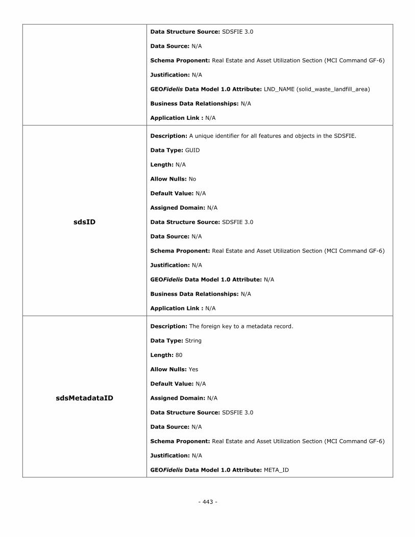
- 443 -
Data Structure Source: SDSFIE 3.0
Data Source: N/A
Schema Proponent: Real Estate and Asset Utilization Section (MCI Command GF-6)
Justification: N/A
GEOFidelis Data Model 1.0 Attribute: LND_NAME (solid_waste_landfill_area)
Business Data Relationships: N/A
Application Link : N/A
sdsID
Description: A unique identifier for all features and objects in the SDSFIE.
Data Type: GUID
Length: N/A
Allow Nulls: No
Default Value: N/A
Assigned Domain: N/A
Data Structure Source: SDSFIE 3.0
Data Source: N/A
Schema Proponent: Real Estate and Asset Utilization Section (MCI Command GF-6)
Justification: N/A
GEOFidelis Data Model 1.0 Attribute: N/A
Business Data Relationships: N/A
Application Link : N/A
sdsMetadataID
Description: The foreign key to a metadata record.
Data Type: String
Length: 80
Allow Nulls: Yes
Default Value: N/A
Assigned Domain: N/A
Data Structure Source: SDSFIE 3.0
Data Source: N/A
Schema Proponent: Real Estate and Asset Utilization Section (MCI Command GF-6)
Justification: N/A
GEOFidelis Data Model 1.0 Attribute: META_ID
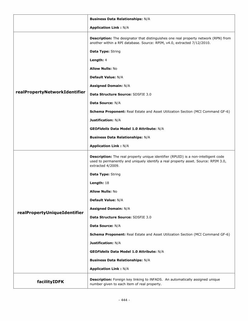
- 444 -
Business Data Relationships: N/A
Application Link : N/A
realPropertyNetworkIdentifier
Description: The designator that distinguishes one real property network (RPN) from
another within a RPI database. Source: RPIM, v4.0, extracted 7/12/2010.
Data Type: String
Length: 4
Allow Nulls: No
Default Value: N/A
Assigned Domain: N/A
Data Structure Source: SDSFIE 3.0
Data Source: N/A
Schema Proponent: Real Estate and Asset Utilization Section (MCI Command GF-6)
Justification: N/A
GEOFidelis Data Model 1.0 Attribute: N/A
Business Data Relationships: N/A
Application Link : N/A
realPropertyUniqueIdentifier
Description: The real property unique identifier (RPUID) is a non-intelligent code
used to permanently and uniquely identify a real property asset. Source: RPIM 3.0,
extracted 4/2009.
Data Type: String
Length: 18
Allow Nulls: No
Default Value: N/A
Assigned Domain: N/A
Data Structure Source: SDSFIE 3.0
Data Source: N/A
Schema Proponent: Real Estate and Asset Utilization Section (MCI Command GF-6)
Justification: N/A
GEOFidelis Data Model 1.0 Attribute: N/A
Business Data Relationships: N/A
Application Link : N/A
facilityIDFK Description: Foreign key linking to iNFADS. An automatically assigned unique
number given to each item of real property.
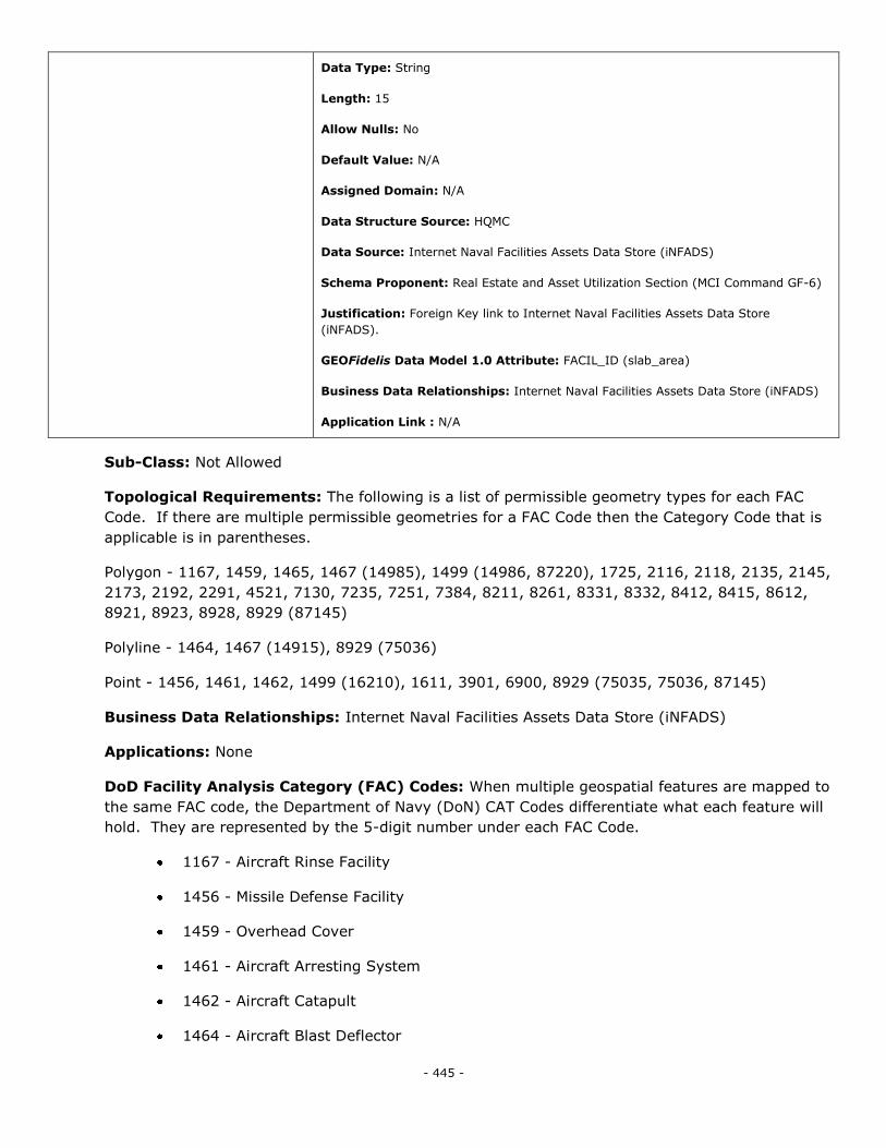
- 445 -
Data Type: String
Length: 15
Allow Nulls: No
Default Value: N/A
Assigned Domain: N/A
Data Structure Source: HQMC
Data Source: Internet Naval Facilities Assets Data Store (iNFADS)
Schema Proponent: Real Estate and Asset Utilization Section (MCI Command GF-6)
Justification: Foreign Key link to Internet Naval Facilities Assets Data Store
(iNFADS).
GEOFidelis Data Model 1.0 Attribute: FACIL_ID (slab_area)
Business Data Relationships: Internet Naval Facilities Assets Data Store (iNFADS)
Application Link : N/A
Sub-Class: Not Allowed
Topological Requirements: The following is a list of permissible geometry types for each FAC
Code. If there are multiple permissible geometries for a FAC Code then the Category Code that is
applicable is in parentheses.
Polygon - 1167, 1459, 1465, 1467 (14985), 1499 (14986, 87220), 1725, 2116, 2118, 2135, 2145,
2173, 2192, 2291, 4521, 7130, 7235, 7251, 7384, 8211, 8261, 8331, 8332, 8412, 8415, 8612,
8921, 8923, 8928, 8929 (87145)
Polyline - 1464, 1467 (14915), 8929 (75036)
Point - 1456, 1461, 1462, 1499 (16210), 1611, 3901, 6900, 8929 (75035, 75036, 87145)
Business Data Relationships: Internet Naval Facilities Assets Data Store (iNFADS)
Applications: None
DoD Facility Analysis Category (FAC) Codes: When multiple geospatial features are mapped to
the same FAC code, the Department of Navy (DoN) CAT Codes differentiate what each feature will
hold. They are represented by the 5-digit number under each FAC Code.
1167 - Aircraft Rinse Facility
1456 - Missile Defense Facility
1459 - Overhead Cover
1461 - Aircraft Arresting System
1462 - Aircraft Catapult
1464 - Aircraft Blast Deflector
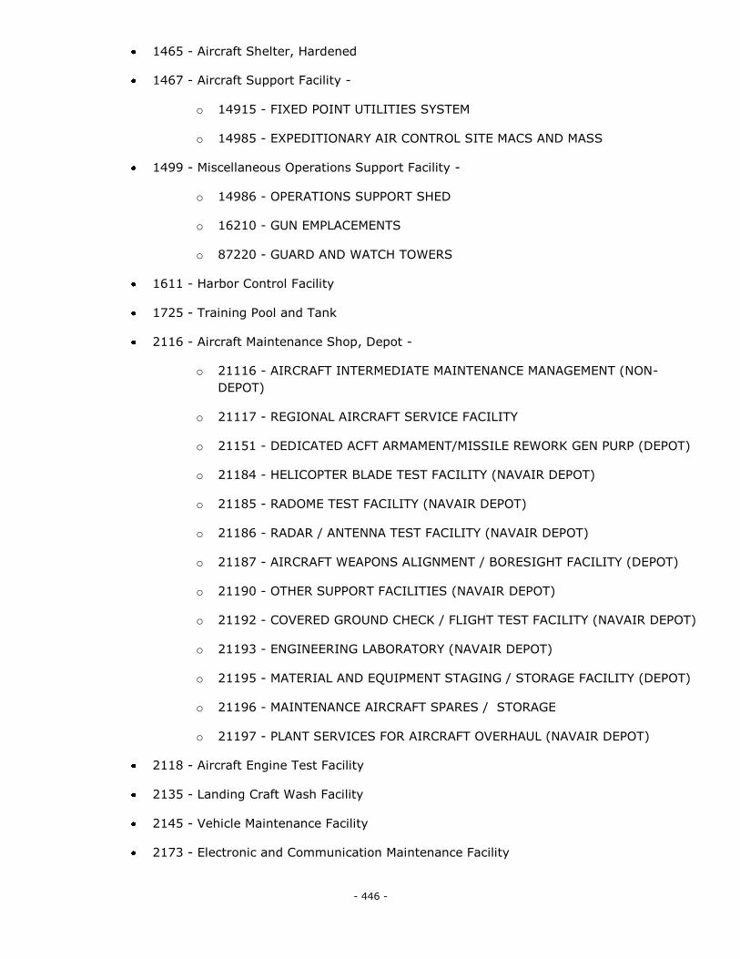
- 446 -
1465 - Aircraft Shelter, Hardened
1467 - Aircraft Support Facility -
o 14915 - FIXED POINT UTILITIES SYSTEM
o 14985 - EXPEDITIONARY AIR CONTROL SITE MACS AND MASS
1499 - Miscellaneous Operations Support Facility -
o 14986 - OPERATIONS SUPPORT SHED
o 16210 - GUN EMPLACEMENTS
o 87220 - GUARD AND WATCH TOWERS
1611 - Harbor Control Facility
1725 - Training Pool and Tank
2116 - Aircraft Maintenance Shop, Depot -
o 21116 - AIRCRAFT INTERMEDIATE MAINTENANCE MANAGEMENT (NON-
DEPOT)
o 21117 - REGIONAL AIRCRAFT SERVICE FACILITY
o 21151 - DEDICATED ACFT ARMAMENT/MISSILE REWORK GEN PURP (DEPOT)
o 21184 - HELICOPTER BLADE TEST FACILITY (NAVAIR DEPOT)
o 21185 - RADOME TEST FACILITY (NAVAIR DEPOT)
o 21186 - RADAR / ANTENNA TEST FACILITY (NAVAIR DEPOT)
o 21187 - AIRCRAFT WEAPONS ALIGNMENT / BORESIGHT FACILITY (DEPOT)
o 21190 - OTHER SUPPORT FACILITIES (NAVAIR DEPOT)
o 21192 - COVERED GROUND CHECK / FLIGHT TEST FACILITY (NAVAIR DEPOT)
o 21193 - ENGINEERING LABORATORY (NAVAIR DEPOT)
o 21195 - MATERIAL AND EQUIPMENT STAGING / STORAGE FACILITY (DEPOT)
o 21196 - MAINTENANCE AIRCRAFT SPARES / STORAGE
o 21197 - PLANT SERVICES FOR AIRCRAFT OVERHAUL (NAVAIR DEPOT)
2118 - Aircraft Engine Test Facility
2135 - Landing Craft Wash Facility
2145 - Vehicle Maintenance Facility
2173 - Electronic and Communication Maintenance Facility
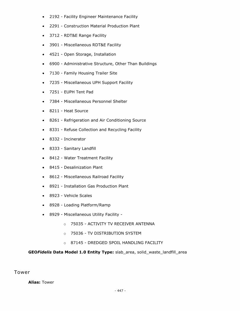
- 447 -
2192 - Facility Engineer Maintenance Facility
2291 - Construction Material Production Plant
3712 - RDT&E Range Facility
3901 - Miscellaneous RDT&E Facility
4521 - Open Storage, Installation
6900 - Administrative Structure, Other Than Buildings
7130 - Family Housing Trailer Site
7235 - Miscellaneous UPH Support Facility
7251 - EUPH Tent Pad
7384 - Miscellaneous Personnel Shelter
8211 - Heat Source
8261 - Refrigeration and Air Conditioning Source
8331 - Refuse Collection and Recycling Facility
8332 - Incinerator
8333 - Sanitary Landfill
8412 - Water Treatment Facility
8415 - Desalinization Plant
8612 - Miscellaneous Railroad Facility
8921 - Installation Gas Production Plant
8923 - Vehicle Scales
8928 - Loading Platform/Ramp
8929 - Miscellaneous Utility Facility -
o 75035 - ACTIVITY TV RECEIVER ANTENNA
o 75036 - TV DISTRIBUTION SYSTEM
o 87145 - DREDGED SPOIL HANDLING FACILITY
GEOFidelis Data Model 1.0 Entity Type: slab_area, solid_waste_landfill_area
Tower
Alias: Tower
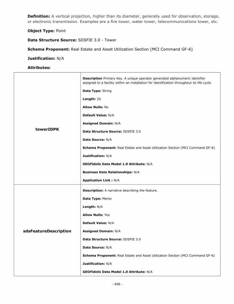
- 448 -
Definition: A vertical projection, higher than its diameter, generally used for observation, storage,
or electronic transmission. Examples are a fire tower, water tower, telecommunications tower, etc.
Object Type: Point
Data Structure Source: SDSFIE 3.0 - Tower
Schema Proponent: Real Estate and Asset Utilization Section (MCI Command GF-6)
Justification: N/A
Attributes:
towerIDPK
Description Primary Key. A unique operator generated alphanumeric identifier
assigned to a facility within an installation for identification throughout its life cycle.
Data Type: String
Length: 20
Allow Nulls: No
Default Value: N/A
Assigned Domain: N/A
Data Structure Source: SDSFIE 3.0
Data Source: N/A
Schema Proponent: Real Estate and Asset Utilization Section (MCI Command GF-6)
Justification: N/A
GEOFidelis Data Model 1.0 Attribute: N/A
Business Data Relationships: N/A
Application Link : N/A
sdsFeatureDescription
Description: A narrative describing the feature.
Data Type: Memo
Length: N/A
Allow Nulls: Yes
Default Value: N/A
Assigned Domain: N/A
Data Structure Source: SDSFIE 3.0
Data Source: N/A
Schema Proponent: Real Estate and Asset Utilization Section (MCI Command GF-6)
Justification: N/A
GEOFidelis Data Model 1.0 Attribute: N/A

- 449 -
Business Data Relationships: N/A
Application Link : N/A
sdsFeatureName
Description: The common name of the feature.
Data Type: String
Length: 80
Allow Nulls: Yes
Default Value: N/A
Assigned Domain: N/A
Data Structure Source: SDSFIE 3.0
Data Source: N/A
Schema Proponent: Real Estate and Asset Utilization Section (MCI Command GF-6)
Justification: N/A
GEOFidelis Data Model 1.0 Attribute: N/A
Business Data Relationships: N/A
Application Link : N/A
sdsID
Description: A unique identifier for all features and objects in the SDSFIE.
Data Type: GUID
Length: N/A
Allow Nulls: No
Default Value: N/A
Assigned Domain: N/A
Data Structure Source: SDSFIE 3.0
Data Source: N/A
Schema Proponent: Real Estate and Asset Utilization Section (MCI Command GF-6)
Justification: N/A
GEOFidelis Data Model 1.0 Attribute: N/A
Business Data Relationships: N/A
Application Link : N/A
sdsMetadataID
Description: The foreign key to a metadata record.
Data Type: String
Length: 80
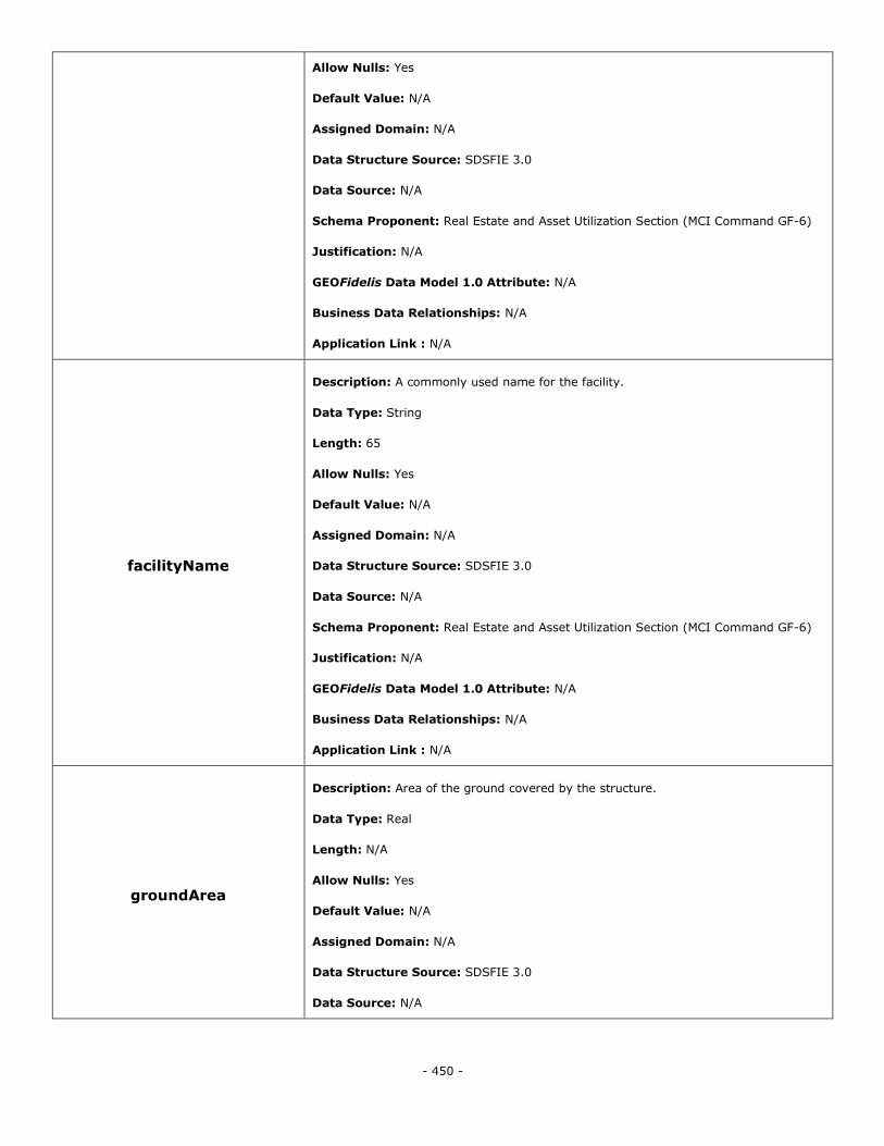
- 450 -
Allow Nulls: Yes
Default Value: N/A
Assigned Domain: N/A
Data Structure Source: SDSFIE 3.0
Data Source: N/A
Schema Proponent: Real Estate and Asset Utilization Section (MCI Command GF-6)
Justification: N/A
GEOFidelis Data Model 1.0 Attribute: N/A
Business Data Relationships: N/A
Application Link : N/A
facilityName
Description: A commonly used name for the facility.
Data Type: String
Length: 65
Allow Nulls: Yes
Default Value: N/A
Assigned Domain: N/A
Data Structure Source: SDSFIE 3.0
Data Source: N/A
Schema Proponent: Real Estate and Asset Utilization Section (MCI Command GF-6)
Justification: N/A
GEOFidelis Data Model 1.0 Attribute: N/A
Business Data Relationships: N/A
Application Link : N/A
groundArea
Description: Area of the ground covered by the structure.
Data Type: Real
Length: N/A
Allow Nulls: Yes
Default Value: N/A
Assigned Domain: N/A
Data Structure Source: SDSFIE 3.0
Data Source: N/A
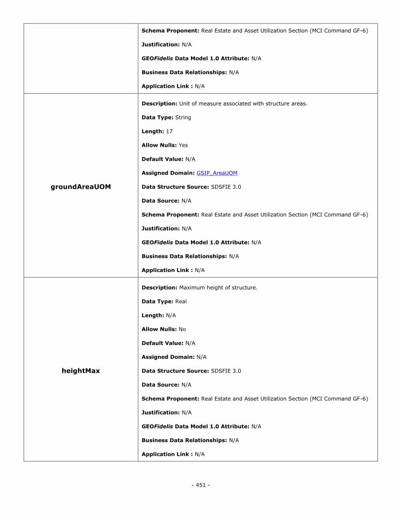
- 451 -
Schema Proponent: Real Estate and Asset Utilization Section (MCI Command GF-6)
Justification: N/A
GEOFidelis Data Model 1.0 Attribute: N/A
Business Data Relationships: N/A
Application Link : N/A
groundAreaUOM
Description: Unit of measure associated with structure areas.
Data Type: String
Length: 17
Allow Nulls: Yes
Default Value: N/A
Assigned Domain: GSIP_AreaUOM
Data Structure Source: SDSFIE 3.0
Data Source: N/A
Schema Proponent: Real Estate and Asset Utilization Section (MCI Command GF-6)
Justification: N/A
GEOFidelis Data Model 1.0 Attribute: N/A
Business Data Relationships: N/A
Application Link : N/A
heightMax
Description: Maximum height of structure.
Data Type: Real
Length: N/A
Allow Nulls: No
Default Value: N/A
Assigned Domain: N/A
Data Structure Source: SDSFIE 3.0
Data Source: N/A
Schema Proponent: Real Estate and Asset Utilization Section (MCI Command GF-6)
Justification: N/A
GEOFidelis Data Model 1.0 Attribute: N/A
Business Data Relationships: N/A
Application Link : N/A
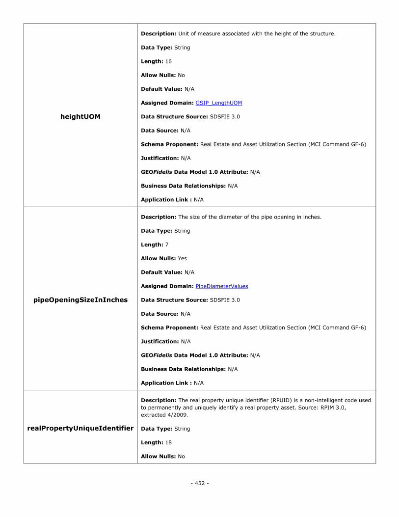
- 452 -
heightUOM
Description: Unit of measure associated with the height of the structure.
Data Type: String
Length: 16
Allow Nulls: No
Default Value: N/A
Assigned Domain: GSIP_LengthUOM
Data Structure Source: SDSFIE 3.0
Data Source: N/A
Schema Proponent: Real Estate and Asset Utilization Section (MCI Command GF-6)
Justification: N/A
GEOFidelis Data Model 1.0 Attribute: N/A
Business Data Relationships: N/A
Application Link : N/A
pipeOpeningSizeInInches
Description: The size of the diameter of the pipe opening in inches.
Data Type: String
Length: 7
Allow Nulls: Yes
Default Value: N/A
Assigned Domain: PipeDiameterValues
Data Structure Source: SDSFIE 3.0
Data Source: N/A
Schema Proponent: Real Estate and Asset Utilization Section (MCI Command GF-6)
Justification: N/A
GEOFidelis Data Model 1.0 Attribute: N/A
Business Data Relationships: N/A
Application Link : N/A
realPropertyUniqueIdentifier
Description: The real property unique identifier (RPUID) is a non-intelligent code used
to permanently and uniquely identify a real property asset. Source: RPIM 3.0,
extracted 4/2009.
Data Type: String
Length: 18
Allow Nulls: No
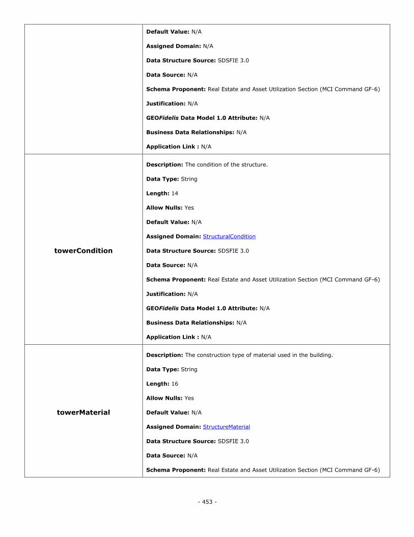
- 453 -
Default Value: N/A
Assigned Domain: N/A
Data Structure Source: SDSFIE 3.0
Data Source: N/A
Schema Proponent: Real Estate and Asset Utilization Section (MCI Command GF-6)
Justification: N/A
GEOFidelis Data Model 1.0 Attribute: N/A
Business Data Relationships: N/A
Application Link : N/A
towerCondition
Description: The condition of the structure.
Data Type: String
Length: 14
Allow Nulls: Yes
Default Value: N/A
Assigned Domain: StructuralCondition
Data Structure Source: SDSFIE 3.0
Data Source: N/A
Schema Proponent: Real Estate and Asset Utilization Section (MCI Command GF-6)
Justification: N/A
GEOFidelis Data Model 1.0 Attribute: N/A
Business Data Relationships: N/A
Application Link : N/A
towerMaterial
Description: The construction type of material used in the building.
Data Type: String
Length: 16
Allow Nulls: Yes
Default Value: N/A
Assigned Domain: StructureMaterial
Data Structure Source: SDSFIE 3.0
Data Source: N/A
Schema Proponent: Real Estate and Asset Utilization Section (MCI Command GF-6)
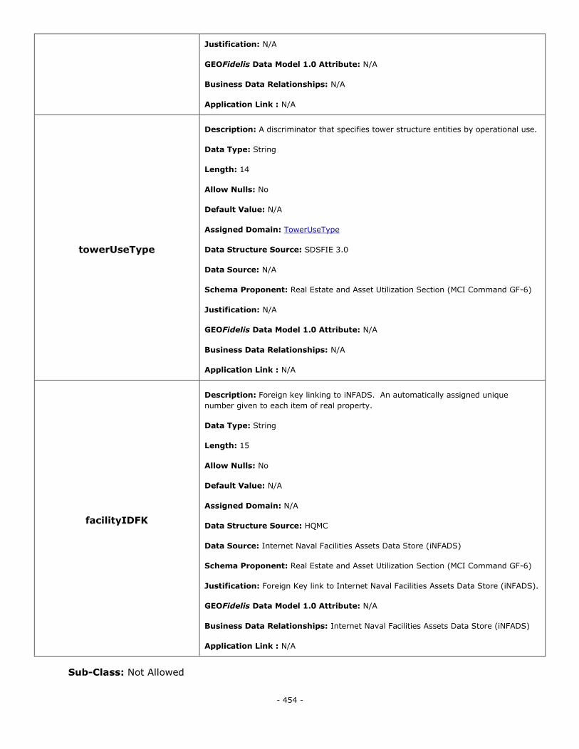
- 454 -
Justification: N/A
GEOFidelis Data Model 1.0 Attribute: N/A
Business Data Relationships: N/A
Application Link : N/A
towerUseType
Description: A discriminator that specifies tower structure entities by operational use.
Data Type: String
Length: 14
Allow Nulls: No
Default Value: N/A
Assigned Domain: TowerUseType
Data Structure Source: SDSFIE 3.0
Data Source: N/A
Schema Proponent: Real Estate and Asset Utilization Section (MCI Command GF-6)
Justification: N/A
GEOFidelis Data Model 1.0 Attribute: N/A
Business Data Relationships: N/A
Application Link : N/A
facilityIDFK
Description: Foreign key linking to iNFADS. An automatically assigned unique
number given to each item of real property.
Data Type: String
Length: 15
Allow Nulls: No
Default Value: N/A
Assigned Domain: N/A
Data Structure Source: HQMC
Data Source: Internet Naval Facilities Assets Data Store (iNFADS)
Schema Proponent: Real Estate and Asset Utilization Section (MCI Command GF-6)
Justification: Foreign Key link to Internet Naval Facilities Assets Data Store (iNFADS).
GEOFidelis Data Model 1.0 Attribute: N/A
Business Data Relationships: Internet Naval Facilities Assets Data Store (iNFADS)
Application Link : N/A
Sub-Class: Not Allowed
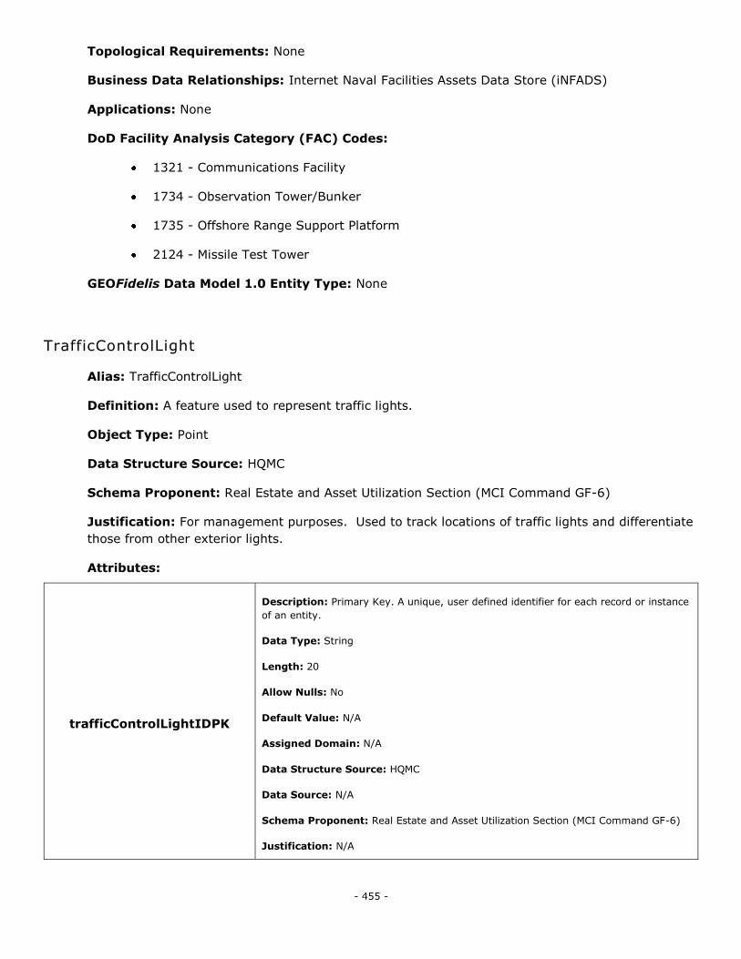
- 455 -
Topological Requirements: None
Business Data Relationships: Internet Naval Facilities Assets Data Store (iNFADS)
Applications: None
DoD Facility Analysis Category (FAC) Codes:
1321 - Communications Facility
1734 - Observation Tower/Bunker
1735 - Offshore Range Support Platform
2124 - Missile Test Tower
GEOFidelis Data Model 1.0 Entity Type: None
TrafficControlLight
Alias: TrafficControlLight
Definition: A feature used to represent traffic lights.
Object Type: Point
Data Structure Source: HQMC
Schema Proponent: Real Estate and Asset Utilization Section (MCI Command GF-6)
Justification: For management purposes. Used to track locations of traffic lights and differentiate
those from other exterior lights.
Attributes:
trafficControlLightIDPK
Description: Primary Key. A unique, user defined identifier for each record or instance
of an entity.
Data Type: String
Length: 20
Allow Nulls: No
Default Value: N/A
Assigned Domain: N/A
Data Structure Source: HQMC
Data Source: N/A
Schema Proponent: Real Estate and Asset Utilization Section (MCI Command GF-6)
Justification: N/A
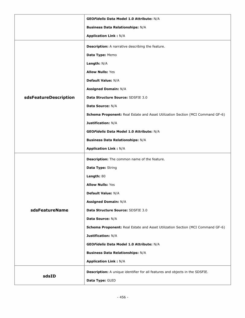
- 456 -
GEOFidelis Data Model 1.0 Attribute: N/A
Business Data Relationships: N/A
Application Link : N/A
sdsFeatureDescription
Description: A narrative describing the feature.
Data Type: Memo
Length: N/A
Allow Nulls: Yes
Default Value: N/A
Assigned Domain: N/A
Data Structure Source: SDSFIE 3.0
Data Source: N/A
Schema Proponent: Real Estate and Asset Utilization Section (MCI Command GF-6)
Justification: N/A
GEOFidelis Data Model 1.0 Attribute: N/A
Business Data Relationships: N/A
Application Link : N/A
sdsFeatureName
Description: The common name of the feature.
Data Type: String
Length: 80
Allow Nulls: Yes
Default Value: N/A
Assigned Domain: N/A
Data Structure Source: SDSFIE 3.0
Data Source: N/A
Schema Proponent: Real Estate and Asset Utilization Section (MCI Command GF-6)
Justification: N/A
GEOFidelis Data Model 1.0 Attribute: N/A
Business Data Relationships: N/A
Application Link : N/A
sdsID Description: A unique identifier for all features and objects in the SDSFIE.
Data Type: GUID
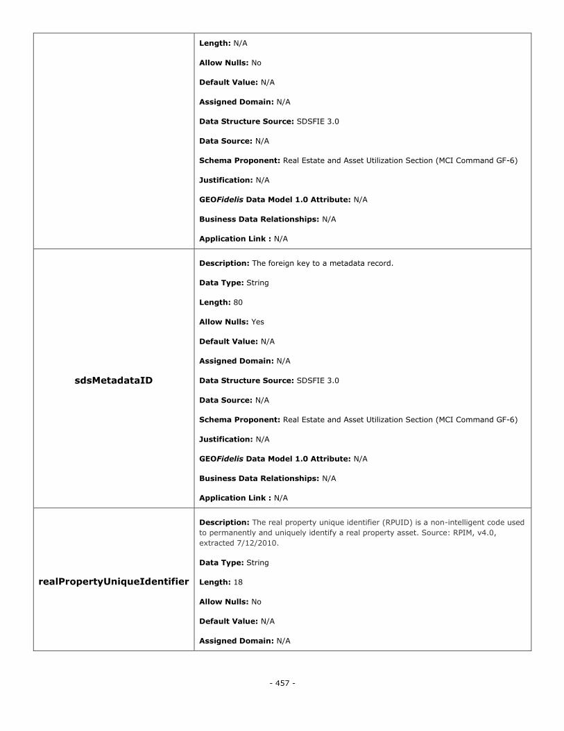
- 457 -
Length: N/A
Allow Nulls: No
Default Value: N/A
Assigned Domain: N/A
Data Structure Source: SDSFIE 3.0
Data Source: N/A
Schema Proponent: Real Estate and Asset Utilization Section (MCI Command GF-6)
Justification: N/A
GEOFidelis Data Model 1.0 Attribute: N/A
Business Data Relationships: N/A
Application Link : N/A
sdsMetadataID
Description: The foreign key to a metadata record.
Data Type: String
Length: 80
Allow Nulls: Yes
Default Value: N/A
Assigned Domain: N/A
Data Structure Source: SDSFIE 3.0
Data Source: N/A
Schema Proponent: Real Estate and Asset Utilization Section (MCI Command GF-6)
Justification: N/A
GEOFidelis Data Model 1.0 Attribute: N/A
Business Data Relationships: N/A
Application Link : N/A
realPropertyUniqueIdentifier
Description: The real property unique identifier (RPUID) is a non-intelligent code used
to permanently and uniquely identify a real property asset. Source: RPIM, v4.0,
extracted 7/12/2010.
Data Type: String
Length: 18
Allow Nulls: No
Default Value: N/A
Assigned Domain: N/A
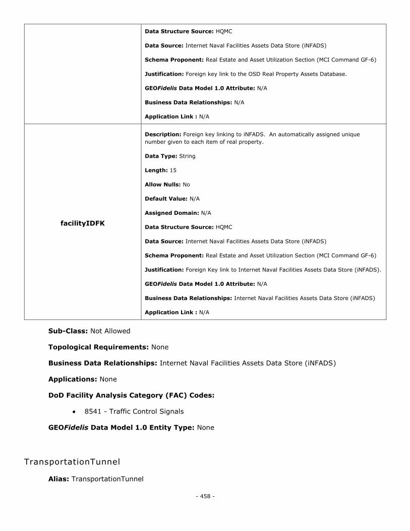
- 458 -
Data Structure Source: HQMC
Data Source: Internet Naval Facilities Assets Data Store (iNFADS)
Schema Proponent: Real Estate and Asset Utilization Section (MCI Command GF-6)
Justification: Foreign key link to the OSD Real Property Assets Database.
GEOFidelis Data Model 1.0 Attribute: N/A
Business Data Relationships: N/A
Application Link : N/A
facilityIDFK
Description: Foreign key linking to iNFADS. An automatically assigned unique
number given to each item of real property.
Data Type: String
Length: 15
Allow Nulls: No
Default Value: N/A
Assigned Domain: N/A
Data Structure Source: HQMC
Data Source: Internet Naval Facilities Assets Data Store (iNFADS)
Schema Proponent: Real Estate and Asset Utilization Section (MCI Command GF-6)
Justification: Foreign Key link to Internet Naval Facilities Assets Data Store (iNFADS).
GEOFidelis Data Model 1.0 Attribute: N/A
Business Data Relationships: Internet Naval Facilities Assets Data Store (iNFADS)
Application Link : N/A
Sub-Class: Not Allowed
Topological Requirements: None
Business Data Relationships: Internet Naval Facilities Assets Data Store (iNFADS)
Applications: None
DoD Facility Analysis Category (FAC) Codes:
8541 - Traffic Control Signals
GEOFidelis Data Model 1.0 Entity Type: None
TransportationTunnel
Alias: TransportationTunnel
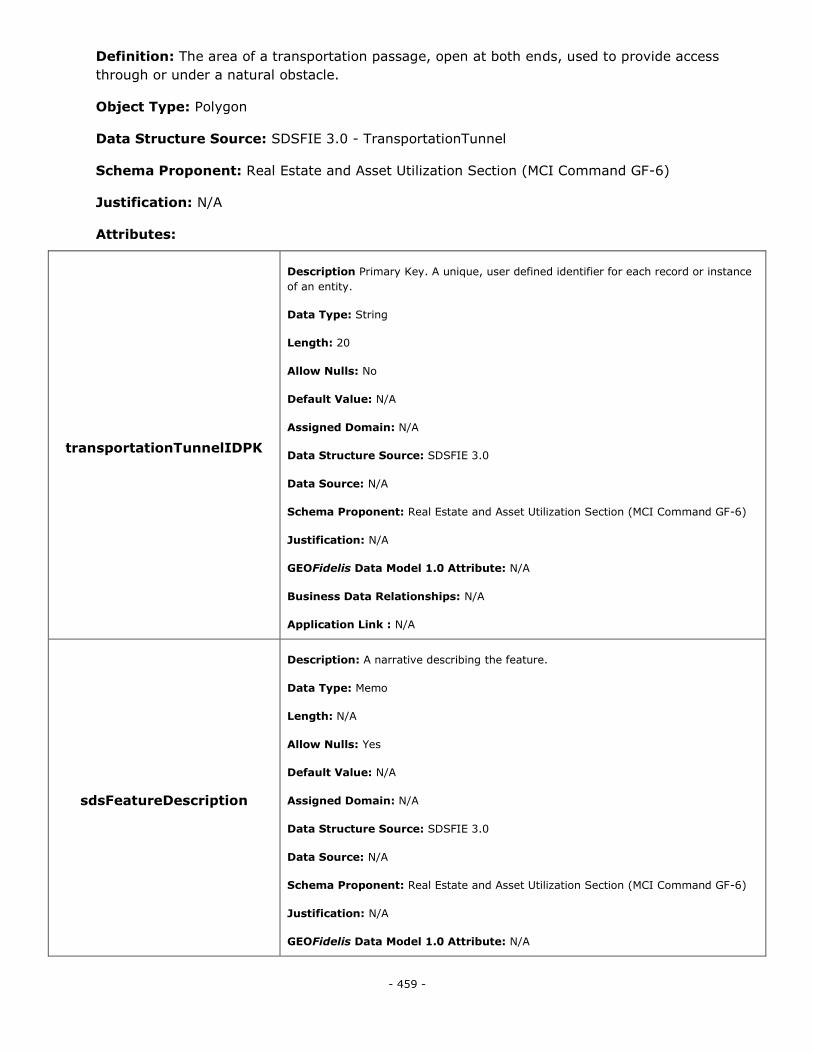
- 459 -
Definition: The area of a transportation passage, open at both ends, used to provide access
through or under a natural obstacle.
Object Type: Polygon
Data Structure Source: SDSFIE 3.0 - TransportationTunnel
Schema Proponent: Real Estate and Asset Utilization Section (MCI Command GF-6)
Justification: N/A
Attributes:
transportationTunnelIDPK
Description Primary Key. A unique, user defined identifier for each record or instance
of an entity.
Data Type: String
Length: 20
Allow Nulls: No
Default Value: N/A
Assigned Domain: N/A
Data Structure Source: SDSFIE 3.0
Data Source: N/A
Schema Proponent: Real Estate and Asset Utilization Section (MCI Command GF-6)
Justification: N/A
GEOFidelis Data Model 1.0 Attribute: N/A
Business Data Relationships: N/A
Application Link : N/A
sdsFeatureDescription
Description: A narrative describing the feature.
Data Type: Memo
Length: N/A
Allow Nulls: Yes
Default Value: N/A
Assigned Domain: N/A
Data Structure Source: SDSFIE 3.0
Data Source: N/A
Schema Proponent: Real Estate and Asset Utilization Section (MCI Command GF-6)
Justification: N/A
GEOFidelis Data Model 1.0 Attribute: N/A
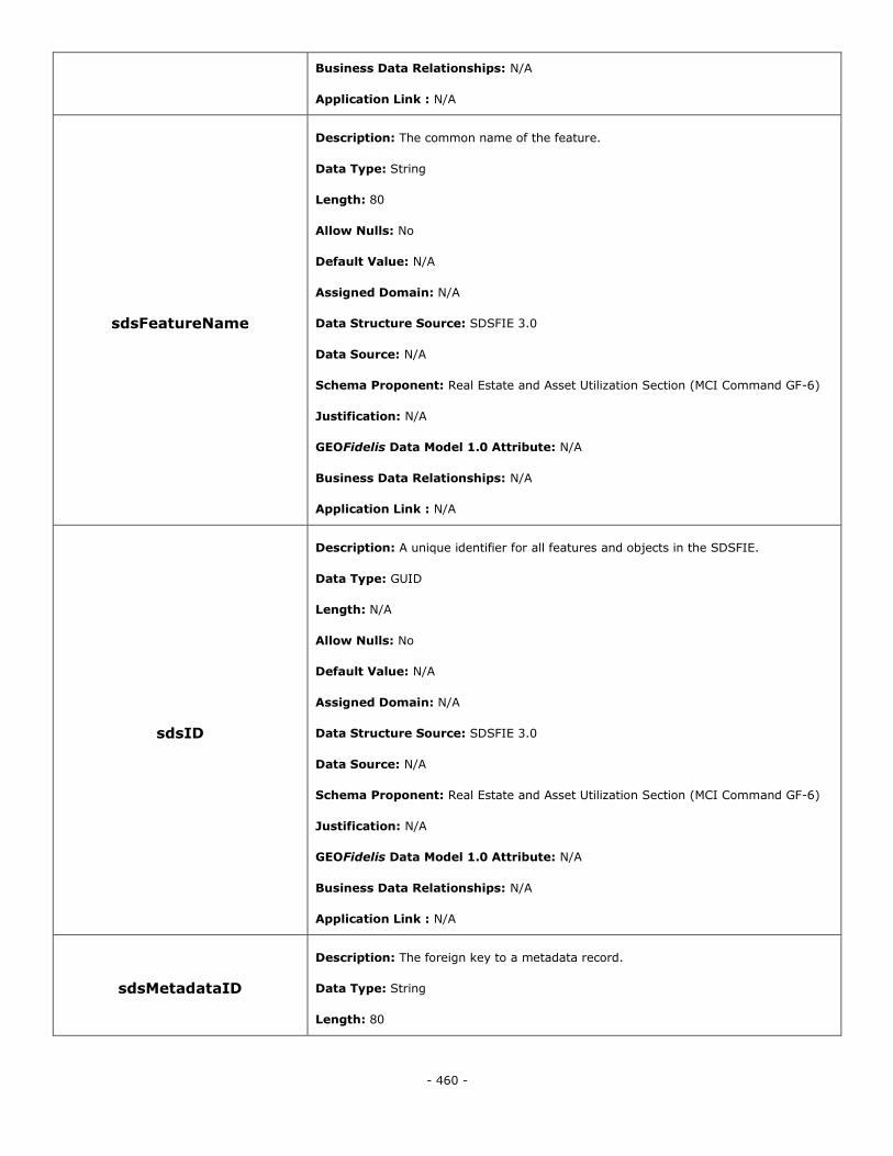
- 460 -
Business Data Relationships: N/A
Application Link : N/A
sdsFeatureName
Description: The common name of the feature.
Data Type: String
Length: 80
Allow Nulls: No
Default Value: N/A
Assigned Domain: N/A
Data Structure Source: SDSFIE 3.0
Data Source: N/A
Schema Proponent: Real Estate and Asset Utilization Section (MCI Command GF-6)
Justification: N/A
GEOFidelis Data Model 1.0 Attribute: N/A
Business Data Relationships: N/A
Application Link : N/A
sdsID
Description: A unique identifier for all features and objects in the SDSFIE.
Data Type: GUID
Length: N/A
Allow Nulls: No
Default Value: N/A
Assigned Domain: N/A
Data Structure Source: SDSFIE 3.0
Data Source: N/A
Schema Proponent: Real Estate and Asset Utilization Section (MCI Command GF-6)
Justification: N/A
GEOFidelis Data Model 1.0 Attribute: N/A
Business Data Relationships: N/A
Application Link : N/A
sdsMetadataID
Description: The foreign key to a metadata record.
Data Type: String
Length: 80
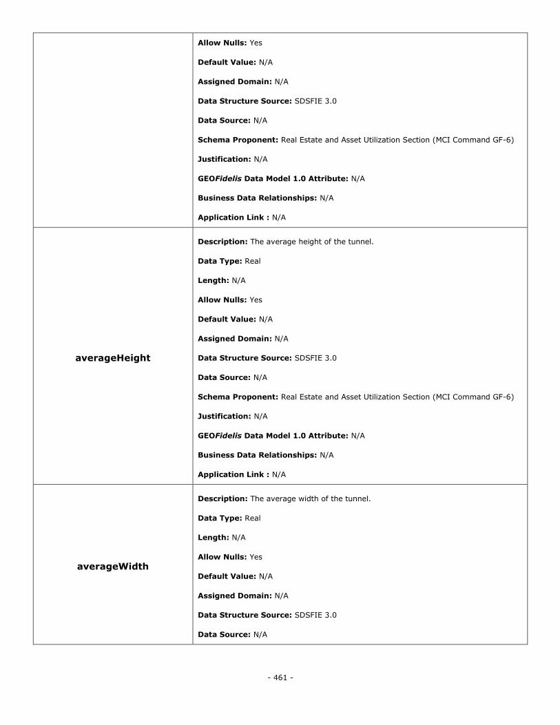
- 461 -
Allow Nulls: Yes
Default Value: N/A
Assigned Domain: N/A
Data Structure Source: SDSFIE 3.0
Data Source: N/A
Schema Proponent: Real Estate and Asset Utilization Section (MCI Command GF-6)
Justification: N/A
GEOFidelis Data Model 1.0 Attribute: N/A
Business Data Relationships: N/A
Application Link : N/A
averageHeight
Description: The average height of the tunnel.
Data Type: Real
Length: N/A
Allow Nulls: Yes
Default Value: N/A
Assigned Domain: N/A
Data Structure Source: SDSFIE 3.0
Data Source: N/A
Schema Proponent: Real Estate and Asset Utilization Section (MCI Command GF-6)
Justification: N/A
GEOFidelis Data Model 1.0 Attribute: N/A
Business Data Relationships: N/A
Application Link : N/A
averageWidth
Description: The average width of the tunnel.
Data Type: Real
Length: N/A
Allow Nulls: Yes
Default Value: N/A
Assigned Domain: N/A
Data Structure Source: SDSFIE 3.0
Data Source: N/A
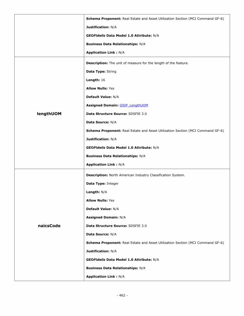
- 462 -
Schema Proponent: Real Estate and Asset Utilization Section (MCI Command GF-6)
Justification: N/A
GEOFidelis Data Model 1.0 Attribute: N/A
Business Data Relationships: N/A
Application Link : N/A
lengthUOM
Description: The unit of measure for the length of the feature.
Data Type: String
Length: 16
Allow Nulls: Yes
Default Value: N/A
Assigned Domain: GSIP_LengthUOM
Data Structure Source: SDSFIE 3.0
Data Source: N/A
Schema Proponent: Real Estate and Asset Utilization Section (MCI Command GF-6)
Justification: N/A
GEOFidelis Data Model 1.0 Attribute: N/A
Business Data Relationships: N/A
Application Link : N/A
naicsCode
Description: North American Industry Classification System.
Data Type: Integer
Length: N/A
Allow Nulls: Yes
Default Value: N/A
Assigned Domain: N/A
Data Structure Source: SDSFIE 3.0
Data Source: N/A
Schema Proponent: Real Estate and Asset Utilization Section (MCI Command GF-6)
Justification: N/A
GEOFidelis Data Model 1.0 Attribute: N/A
Business Data Relationships: N/A
Application Link : N/A

- 463 -
tunnelLength
Description: The length of the tunnel.
Data Type: Real
Length: N/A
Allow Nulls: Yes
Default Value: N/A
Assigned Domain: N/A
Data Structure Source: SDSFIE 3.0
Data Source: N/A
Schema Proponent: Real Estate and Asset Utilization Section (MCI Command GF-6)
Justification: N/A
GEOFidelis Data Model 1.0 Attribute: N/A
Business Data Relationships: N/A
Application Link : N/A
tunnelType
Description: The code that represents the type of tunnel
Data Type: String
Length: 8
Allow Nulls: No
Default Value: N/A
Assigned Domain: TransTunnelType
Data Structure Source: SDSFIE 3.0
Data Source: N/A
Schema Proponent: Real Estate and Asset Utilization Section (MCI Command GF-6)
Justification: N/A
GEOFidelis Data Model 1.0 Attribute: N/A
Business Data Relationships: N/A
Application Link : N/A
verticalClearanceInMeters
Description: Indicates the actual vertical clearance to the top of the tunnel imposed
by any restrictions (measured in meters).
Data Type: Real
Length: N/A
Allow Nulls: No
Default Value: N/A
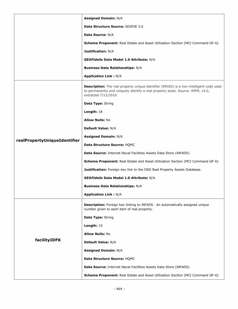
- 464 -
Assigned Domain: N/A
Data Structure Source: SDSFIE 3.0
Data Source: N/A
Schema Proponent: Real Estate and Asset Utilization Section (MCI Command GF-6)
Justification: N/A
GEOFidelis Data Model 1.0 Attribute: N/A
Business Data Relationships: N/A
Application Link : N/A
realPropertyUniqueIdentifier
Description: The real property unique identifier (RPUID) is a non-intelligent code used
to permanently and uniquely identify a real property asset. Source: RPIM, v4.0,
extracted 7/12/2010.
Data Type: String
Length: 18
Allow Nulls: No
Default Value: N/A
Assigned Domain: N/A
Data Structure Source: HQMC
Data Source: Internet Naval Facilities Assets Data Store (iNFADS)
Schema Proponent: Real Estate and Asset Utilization Section (MCI Command GF-6)
Justification: Foreign key link to the OSD Real Property Assets Database.
GEOFidelis Data Model 1.0 Attribute: N/A
Business Data Relationships: N/A
Application Link : N/A
facilityIDFK
Description: Foreign key linking to iNFADS. An automatically assigned unique
number given to each item of real property.
Data Type: String
Length: 15
Allow Nulls: No
Default Value: N/A
Assigned Domain: N/A
Data Structure Source: HQMC
Data Source: Internet Naval Facilities Assets Data Store (iNFADS)
Schema Proponent: Real Estate and Asset Utilization Section (MCI Command GF-6)
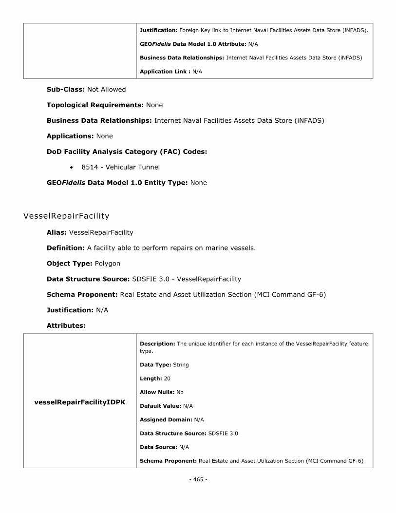
- 465 -
Justification: Foreign Key link to Internet Naval Facilities Assets Data Store (iNFADS).
GEOFidelis Data Model 1.0 Attribute: N/A
Business Data Relationships: Internet Naval Facilities Assets Data Store (iNFADS)
Application Link : N/A
Sub-Class: Not Allowed
Topological Requirements: None
Business Data Relationships: Internet Naval Facilities Assets Data Store (iNFADS)
Applications: None
DoD Facility Analysis Category (FAC) Codes:
8514 - Vehicular Tunnel
GEOFidelis Data Model 1.0 Entity Type: None
VesselRepairFacility
Alias: VesselRepairFacility
Definition: A facility able to perform repairs on marine vessels.
Object Type: Polygon
Data Structure Source: SDSFIE 3.0 - VesselRepairFacility
Schema Proponent: Real Estate and Asset Utilization Section (MCI Command GF-6)
Justification: N/A
Attributes:
vesselRepairFacilityIDPK
Description: The unique identifier for each instance of the VesselRepairFacility feature
type.
Data Type: String
Length: 20
Allow Nulls: No
Default Value: N/A
Assigned Domain: N/A
Data Structure Source: SDSFIE 3.0
Data Source: N/A
Schema Proponent: Real Estate and Asset Utilization Section (MCI Command GF-6)
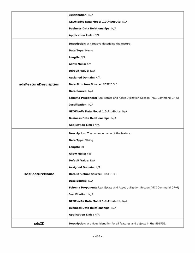
- 466 -
Justification: N/A
GEOFidelis Data Model 1.0 Attribute: N/A
Business Data Relationships: N/A
Application Link : N/A
sdsFeatureDescription
Description: A narrative describing the feature.
Data Type: Memo
Length: N/A
Allow Nulls: Yes
Default Value: N/A
Assigned Domain: N/A
Data Structure Source: SDSFIE 3.0
Data Source: N/A
Schema Proponent: Real Estate and Asset Utilization Section (MCI Command GF-6)
Justification: N/A
GEOFidelis Data Model 1.0 Attribute: N/A
Business Data Relationships: N/A
Application Link : N/A
sdsFeatureName
Description: The common name of the feature.
Data Type: String
Length: 80
Allow Nulls: Yes
Default Value: N/A
Assigned Domain: N/A
Data Structure Source: SDSFIE 3.0
Data Source: N/A
Schema Proponent: Real Estate and Asset Utilization Section (MCI Command GF-6)
Justification: N/A
GEOFidelis Data Model 1.0 Attribute: N/A
Business Data Relationships: N/A
Application Link : N/A
sdsID Description: A unique identifier for all features and objects in the SDSFIE.
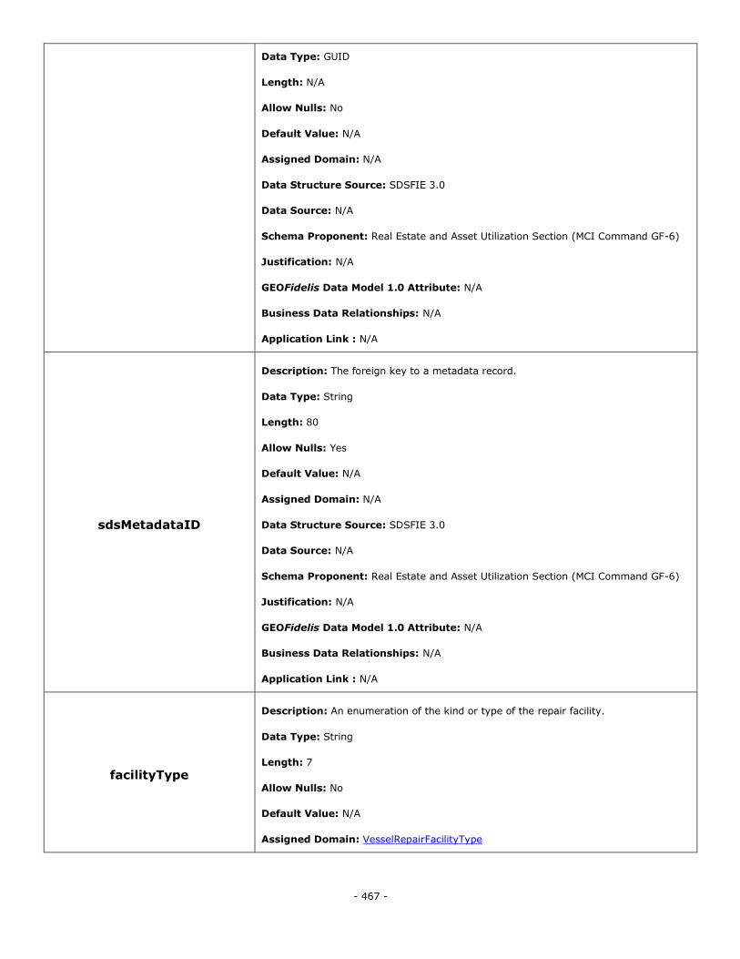
- 467 -
Data Type: GUID
Length: N/A
Allow Nulls: No
Default Value: N/A
Assigned Domain: N/A
Data Structure Source: SDSFIE 3.0
Data Source: N/A
Schema Proponent: Real Estate and Asset Utilization Section (MCI Command GF-6)
Justification: N/A
GEOFidelis Data Model 1.0 Attribute: N/A
Business Data Relationships: N/A
Application Link : N/A
sdsMetadataID
Description: The foreign key to a metadata record.
Data Type: String
Length: 80
Allow Nulls: Yes
Default Value: N/A
Assigned Domain: N/A
Data Structure Source: SDSFIE 3.0
Data Source: N/A
Schema Proponent: Real Estate and Asset Utilization Section (MCI Command GF-6)
Justification: N/A
GEOFidelis Data Model 1.0 Attribute: N/A
Business Data Relationships: N/A
Application Link : N/A
facilityType
Description: An enumeration of the kind or type of the repair facility.
Data Type: String
Length: 7
Allow Nulls: No
Default Value: N/A
Assigned Domain: VesselRepairFacilityType
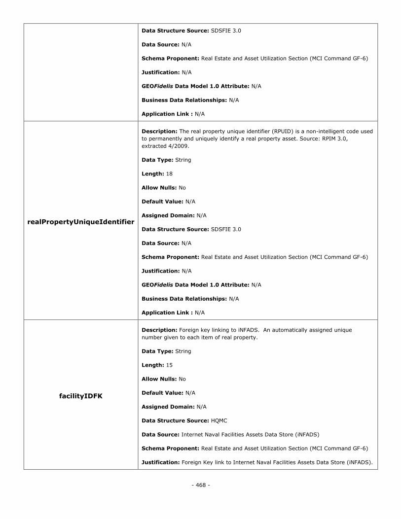
- 468 -
Data Structure Source: SDSFIE 3.0
Data Source: N/A
Schema Proponent: Real Estate and Asset Utilization Section (MCI Command GF-6)
Justification: N/A
GEOFidelis Data Model 1.0 Attribute: N/A
Business Data Relationships: N/A
Application Link : N/A
realPropertyUniqueIdentifier
Description: The real property unique identifier (RPUID) is a non-intelligent code used
to permanently and uniquely identify a real property asset. Source: RPIM 3.0,
extracted 4/2009.
Data Type: String
Length: 18
Allow Nulls: No
Default Value: N/A
Assigned Domain: N/A
Data Structure Source: SDSFIE 3.0
Data Source: N/A
Schema Proponent: Real Estate and Asset Utilization Section (MCI Command GF-6)
Justification: N/A
GEOFidelis Data Model 1.0 Attribute: N/A
Business Data Relationships: N/A
Application Link : N/A
facilityIDFK
Description: Foreign key linking to iNFADS. An automatically assigned unique
number given to each item of real property.
Data Type: String
Length: 15
Allow Nulls: No
Default Value: N/A
Assigned Domain: N/A
Data Structure Source: HQMC
Data Source: Internet Naval Facilities Assets Data Store (iNFADS)
Schema Proponent: Real Estate and Asset Utilization Section (MCI Command GF-6)
Justification: Foreign Key link to Internet Naval Facilities Assets Data Store (iNFADS).
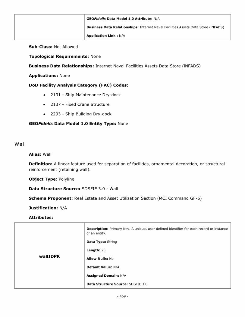
- 469 -
GEOFidelis Data Model 1.0 Attribute: N/A
Business Data Relationships: Internet Naval Facilities Assets Data Store (iNFADS)
Application Link : N/A
Sub-Class: Not Allowed
Topological Requirements: None
Business Data Relationships: Internet Naval Facilities Assets Data Store (iNFADS)
Applications: None
DoD Facility Analysis Category (FAC) Codes:
2131 - Ship Maintenance Dry-dock
2137 - Fixed Crane Structure
2233 - Ship Building Dry-dock
GEOFidelis Data Model 1.0 Entity Type: None
Wall
Alias: Wall
Definition: A linear feature used for separation of facilities, ornamental decoration, or structural
reinforcement (retaining wall).
Object Type: Polyline
Data Structure Source: SDSFIE 3.0 - Wall
Schema Proponent: Real Estate and Asset Utilization Section (MCI Command GF-6)
Justification: N/A
Attributes:
wallIDPK
Description: Primary Key. A unique, user defined identifier for each record or instance
of an entity.
Data Type: String
Length: 20
Allow Nulls: No
Default Value: N/A
Assigned Domain: N/A
Data Structure Source: SDSFIE 3.0
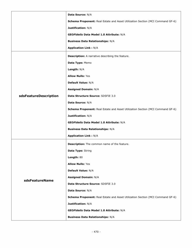
- 470 -
Data Source: N/A
Schema Proponent: Real Estate and Asset Utilization Section (MCI Command GF-6)
Justification: N/A
GEOFidelis Data Model 1.0 Attribute: N/A
Business Data Relationships: N/A
Application Link : N/A
sdsFeatureDescription
Description: A narrative describing the feature.
Data Type: Memo
Length: N/A
Allow Nulls: Yes
Default Value: N/A
Assigned Domain: N/A
Data Structure Source: SDSFIE 3.0
Data Source: N/A
Schema Proponent: Real Estate and Asset Utilization Section (MCI Command GF-6)
Justification: N/A
GEOFidelis Data Model 1.0 Attribute: N/A
Business Data Relationships: N/A
Application Link : N/A
sdsFeatureName
Description: The common name of the feature.
Data Type: String
Length: 80
Allow Nulls: Yes
Default Value: N/A
Assigned Domain: N/A
Data Structure Source: SDSFIE 3.0
Data Source: N/A
Schema Proponent: Real Estate and Asset Utilization Section (MCI Command GF-6)
Justification: N/A
GEOFidelis Data Model 1.0 Attribute: N/A
Business Data Relationships: N/A
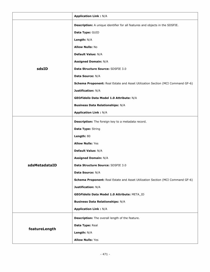
- 471 -
Application Link : N/A
sdsID
Description: A unique identifier for all features and objects in the SDSFIE.
Data Type: GUID
Length: N/A
Allow Nulls: No
Default Value: N/A
Assigned Domain: N/A
Data Structure Source: SDSFIE 3.0
Data Source: N/A
Schema Proponent: Real Estate and Asset Utilization Section (MCI Command GF-6)
Justification: N/A
GEOFidelis Data Model 1.0 Attribute: N/A
Business Data Relationships: N/A
Application Link : N/A
sdsMetadataID
Description: The foreign key to a metadata record.
Data Type: String
Length: 80
Allow Nulls: Yes
Default Value: N/A
Assigned Domain: N/A
Data Structure Source: SDSFIE 3.0
Data Source: N/A
Schema Proponent: Real Estate and Asset Utilization Section (MCI Command GF-6)
Justification: N/A
GEOFidelis Data Model 1.0 Attribute: META_ID
Business Data Relationships: N/A
Application Link : N/A
featureLength
Description: The overall length of the feature.
Data Type: Real
Length: N/A
Allow Nulls: Yes
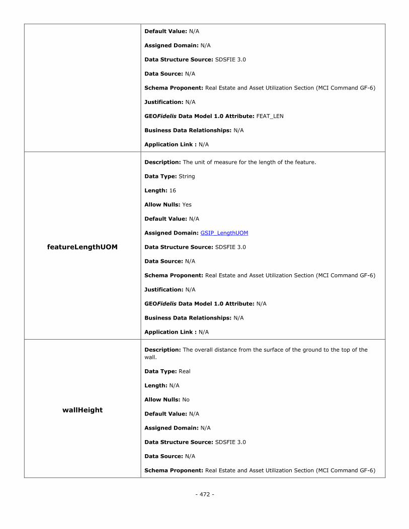
- 472 -
Default Value: N/A
Assigned Domain: N/A
Data Structure Source: SDSFIE 3.0
Data Source: N/A
Schema Proponent: Real Estate and Asset Utilization Section (MCI Command GF-6)
Justification: N/A
GEOFidelis Data Model 1.0 Attribute: FEAT_LEN
Business Data Relationships: N/A
Application Link : N/A
featureLengthUOM
Description: The unit of measure for the length of the feature.
Data Type: String
Length: 16
Allow Nulls: Yes
Default Value: N/A
Assigned Domain: GSIP_LengthUOM
Data Structure Source: SDSFIE 3.0
Data Source: N/A
Schema Proponent: Real Estate and Asset Utilization Section (MCI Command GF-6)
Justification: N/A
GEOFidelis Data Model 1.0 Attribute: N/A
Business Data Relationships: N/A
Application Link : N/A
wallHeight
Description: The overall distance from the surface of the ground to the top of the
wall.
Data Type: Real
Length: N/A
Allow Nulls: No
Default Value: N/A
Assigned Domain: N/A
Data Structure Source: SDSFIE 3.0
Data Source: N/A
Schema Proponent: Real Estate and Asset Utilization Section (MCI Command GF-6)
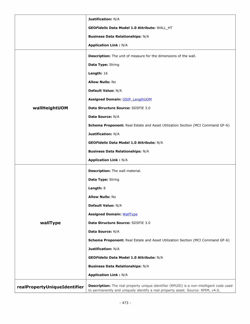
- 473 -
Justification: N/A
GEOFidelis Data Model 1.0 Attribute: WALL_HT
Business Data Relationships: N/A
Application Link : N/A
wallHeightUOM
Description: The unit of measure for the dimensions of the wall.
Data Type: String
Length: 16
Allow Nulls: No
Default Value: N/A
Assigned Domain: GSIP_LengthUOM
Data Structure Source: SDSFIE 3.0
Data Source: N/A
Schema Proponent: Real Estate and Asset Utilization Section (MCI Command GF-6)
Justification: N/A
GEOFidelis Data Model 1.0 Attribute: N/A
Business Data Relationships: N/A
Application Link : N/A
wallType
Description: The wall material.
Data Type: String
Length: 8
Allow Nulls: No
Default Value: N/A
Assigned Domain: WallType
Data Structure Source: SDSFIE 3.0
Data Source: N/A
Schema Proponent: Real Estate and Asset Utilization Section (MCI Command GF-6)
Justification: N/A
GEOFidelis Data Model 1.0 Attribute: N/A
Business Data Relationships: N/A
Application Link : N/A
realPropertyUniqueIdentifier Description: The real property unique identifier (RPUID) is a non-intelligent code used
to permanently and uniquely identify a real property asset. Source: RPIM, v4.0,
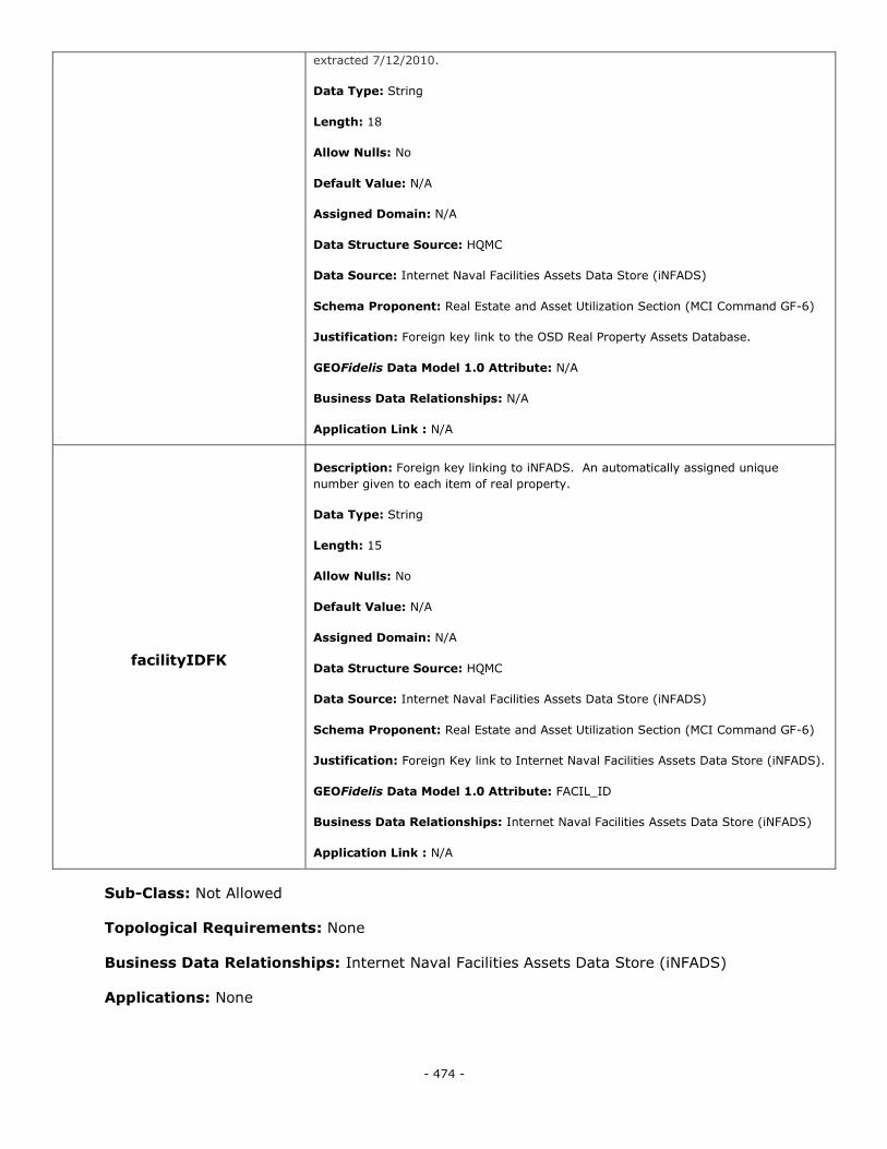
- 474 -
extracted 7/12/2010.
Data Type: String
Length: 18
Allow Nulls: No
Default Value: N/A
Assigned Domain: N/A
Data Structure Source: HQMC
Data Source: Internet Naval Facilities Assets Data Store (iNFADS)
Schema Proponent: Real Estate and Asset Utilization Section (MCI Command GF-6)
Justification: Foreign key link to the OSD Real Property Assets Database.
GEOFidelis Data Model 1.0 Attribute: N/A
Business Data Relationships: N/A
Application Link : N/A
facilityIDFK
Description: Foreign key linking to iNFADS. An automatically assigned unique
number given to each item of real property.
Data Type: String
Length: 15
Allow Nulls: No
Default Value: N/A
Assigned Domain: N/A
Data Structure Source: HQMC
Data Source: Internet Naval Facilities Assets Data Store (iNFADS)
Schema Proponent: Real Estate and Asset Utilization Section (MCI Command GF-6)
Justification: Foreign Key link to Internet Naval Facilities Assets Data Store (iNFADS).
GEOFidelis Data Model 1.0 Attribute: FACIL_ID
Business Data Relationships: Internet Naval Facilities Assets Data Store (iNFADS)
Application Link : N/A
Sub-Class: Not Allowed
Topological Requirements: None
Business Data Relationships: Internet Naval Facilities Assets Data Store (iNFADS)
Applications: None
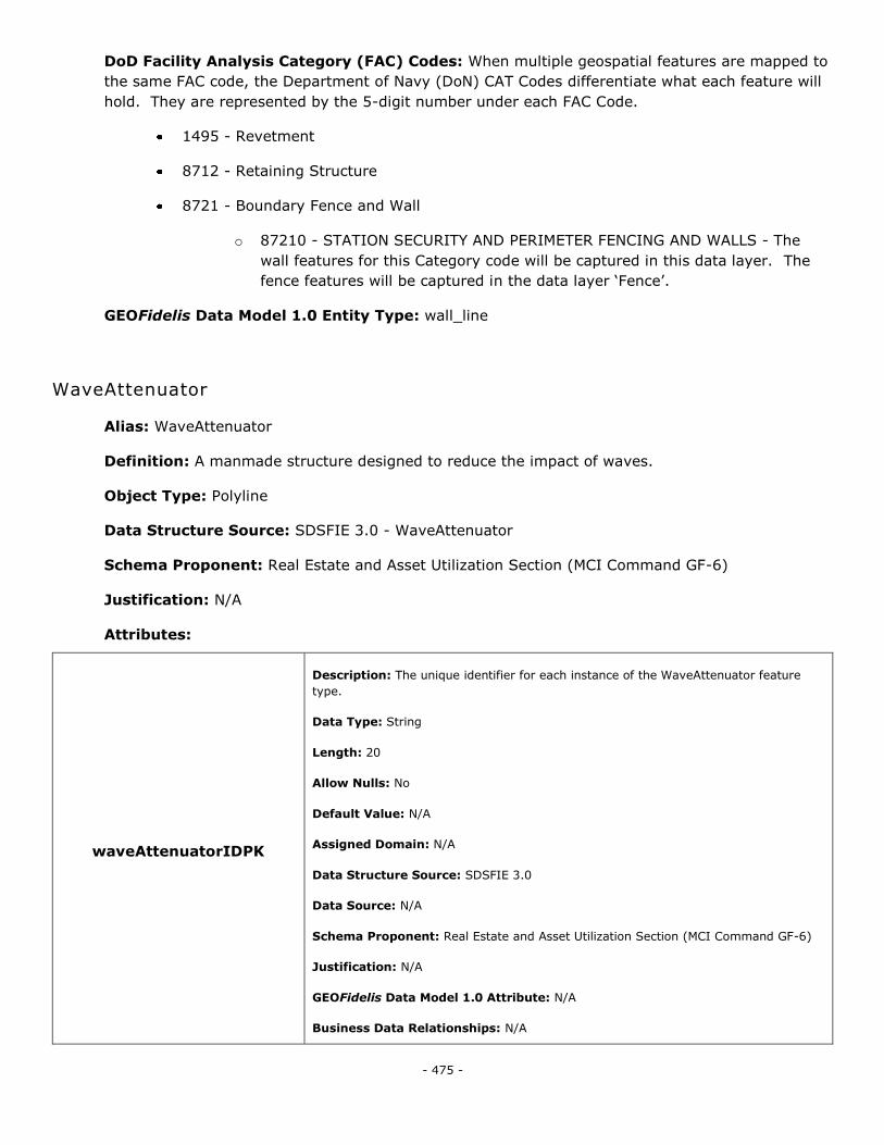
- 475 -
DoD Facility Analysis Category (FAC) Codes: When multiple geospatial features are mapped to
the same FAC code, the Department of Navy (DoN) CAT Codes differentiate what each feature will
hold. They are represented by the 5-digit number under each FAC Code.
1495 - Revetment
8712 - Retaining Structure
8721 - Boundary Fence and Wall
o 87210 - STATION SECURITY AND PERIMETER FENCING AND WALLS - The
wall features for this Category code will be captured in this data layer. The
fence features will be captured in the data layer ‗Fence‘.
GEOFidelis Data Model 1.0 Entity Type: wall_line
WaveAttenuator
Alias: WaveAttenuator
Definition: A manmade structure designed to reduce the impact of waves.
Object Type: Polyline
Data Structure Source: SDSFIE 3.0 - WaveAttenuator
Schema Proponent: Real Estate and Asset Utilization Section (MCI Command GF-6)
Justification: N/A
Attributes:
waveAttenuatorIDPK
Description: The unique identifier for each instance of the WaveAttenuator feature
type.
Data Type: String
Length: 20
Allow Nulls: No
Default Value: N/A
Assigned Domain: N/A
Data Structure Source: SDSFIE 3.0
Data Source: N/A
Schema Proponent: Real Estate and Asset Utilization Section (MCI Command GF-6)
Justification: N/A
GEOFidelis Data Model 1.0 Attribute: N/A
Business Data Relationships: N/A

- 476 -
Application Link : N/A
sdsFeatureDescription
Description: A narrative describing the feature.
Data Type: Memo
Length: N/A
Allow Nulls: Yes
Default Value: N/A
Assigned Domain: N/A
Data Structure Source: SDSFIE 3.0
Data Source: N/A
Schema Proponent: Real Estate and Asset Utilization Section (MCI Command GF-6)
Justification: N/A
GEOFidelis Data Model 1.0 Attribute: N/A
Business Data Relationships: N/A
Application Link : N/A
sdsFeatureName
Description: The common name of the feature.
Data Type: String
Length: 80
Allow Nulls: Yes
Default Value: N/A
Assigned Domain: N/A
Data Structure Source: SDSFIE 3.0
Data Source: N/A
Schema Proponent: Real Estate and Asset Utilization Section (MCI Command GF-6)
Justification: N/A
GEOFidelis Data Model 1.0 Attribute: N/A
Business Data Relationships: N/A
Application Link : N/A
sdsID
Description: A unique identifier for all features and objects in the SDSFIE.
Data Type: GUID
Length: N/A
Allow Nulls: No
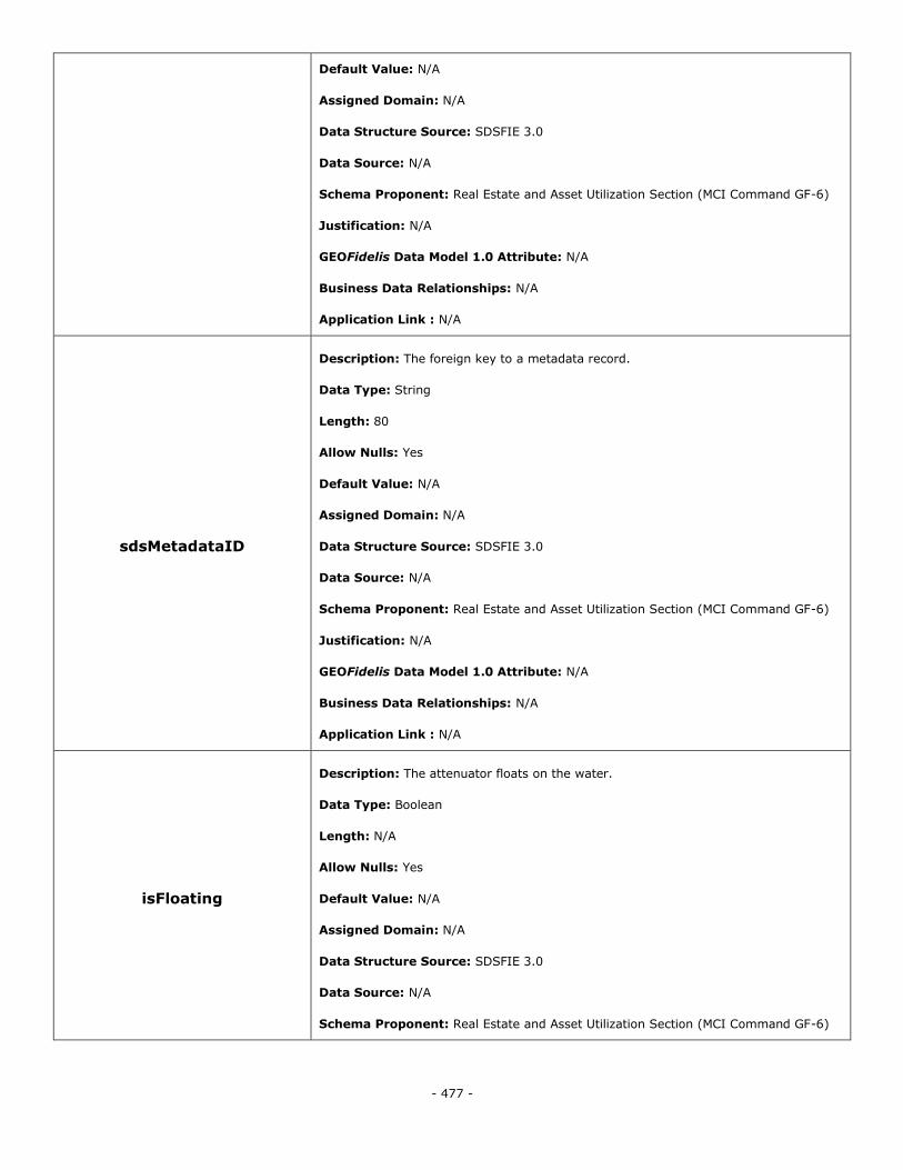
- 477 -
Default Value: N/A
Assigned Domain: N/A
Data Structure Source: SDSFIE 3.0
Data Source: N/A
Schema Proponent: Real Estate and Asset Utilization Section (MCI Command GF-6)
Justification: N/A
GEOFidelis Data Model 1.0 Attribute: N/A
Business Data Relationships: N/A
Application Link : N/A
sdsMetadataID
Description: The foreign key to a metadata record.
Data Type: String
Length: 80
Allow Nulls: Yes
Default Value: N/A
Assigned Domain: N/A
Data Structure Source: SDSFIE 3.0
Data Source: N/A
Schema Proponent: Real Estate and Asset Utilization Section (MCI Command GF-6)
Justification: N/A
GEOFidelis Data Model 1.0 Attribute: N/A
Business Data Relationships: N/A
Application Link : N/A
isFloating
Description: The attenuator floats on the water.
Data Type: Boolean
Length: N/A
Allow Nulls: Yes
Default Value: N/A
Assigned Domain: N/A
Data Structure Source: SDSFIE 3.0
Data Source: N/A
Schema Proponent: Real Estate and Asset Utilization Section (MCI Command GF-6)
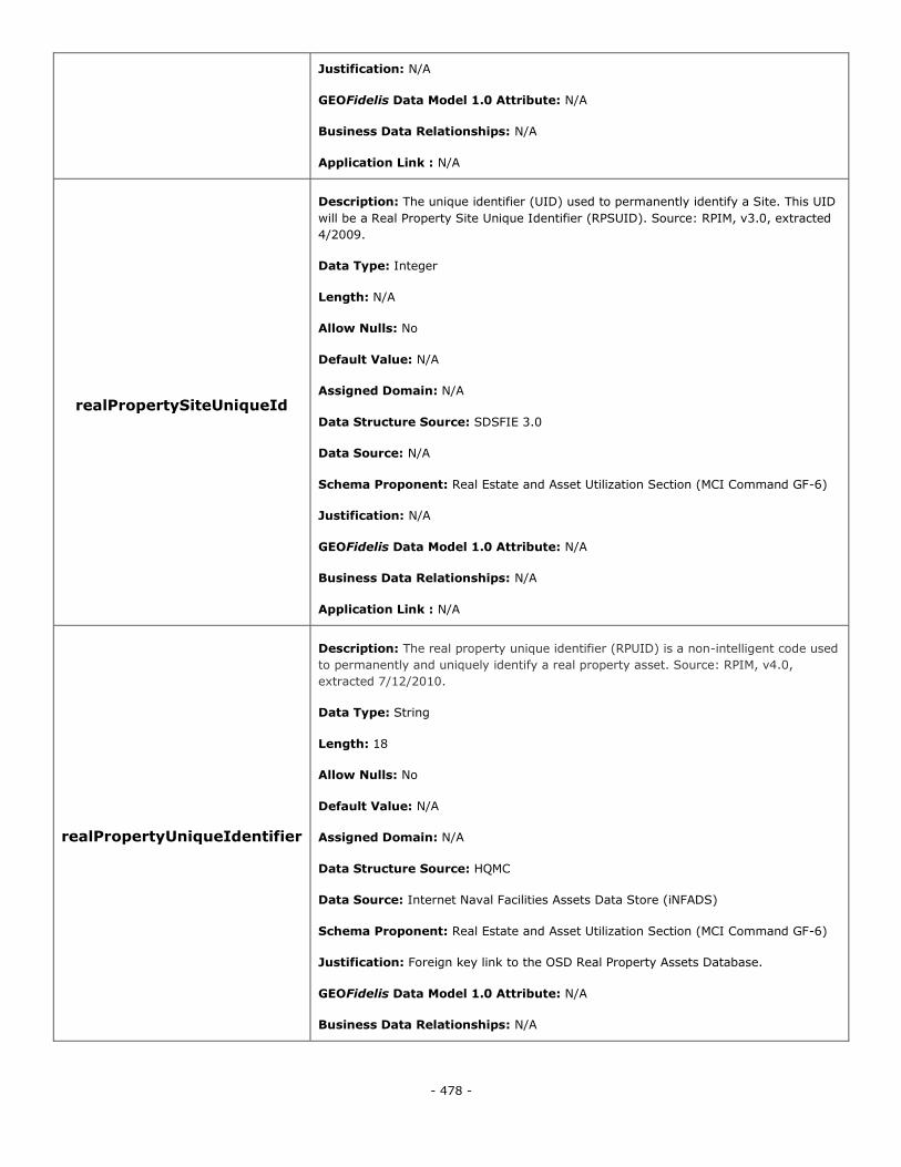
- 478 -
Justification: N/A
GEOFidelis Data Model 1.0 Attribute: N/A
Business Data Relationships: N/A
Application Link : N/A
realPropertySiteUniqueId
Description: The unique identifier (UID) used to permanently identify a Site. This UID
will be a Real Property Site Unique Identifier (RPSUID). Source: RPIM, v3.0, extracted
4/2009.
Data Type: Integer
Length: N/A
Allow Nulls: No
Default Value: N/A
Assigned Domain: N/A
Data Structure Source: SDSFIE 3.0
Data Source: N/A
Schema Proponent: Real Estate and Asset Utilization Section (MCI Command GF-6)
Justification: N/A
GEOFidelis Data Model 1.0 Attribute: N/A
Business Data Relationships: N/A
Application Link : N/A
realPropertyUniqueIdentifier
Description: The real property unique identifier (RPUID) is a non-intelligent code used
to permanently and uniquely identify a real property asset. Source: RPIM, v4.0,
extracted 7/12/2010.
Data Type: String
Length: 18
Allow Nulls: No
Default Value: N/A
Assigned Domain: N/A
Data Structure Source: HQMC
Data Source: Internet Naval Facilities Assets Data Store (iNFADS)
Schema Proponent: Real Estate and Asset Utilization Section (MCI Command GF-6)
Justification: Foreign key link to the OSD Real Property Assets Database.
GEOFidelis Data Model 1.0 Attribute: N/A
Business Data Relationships: N/A
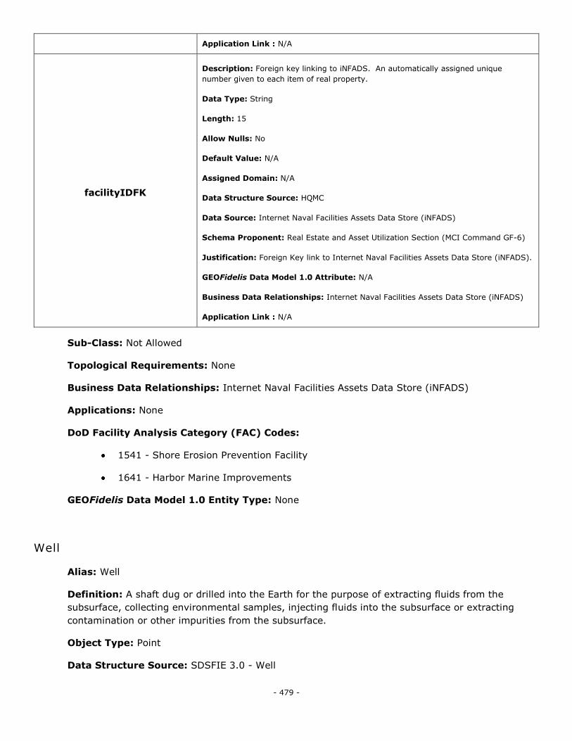
- 479 -
Application Link : N/A
facilityIDFK
Description: Foreign key linking to iNFADS. An automatically assigned unique
number given to each item of real property.
Data Type: String
Length: 15
Allow Nulls: No
Default Value: N/A
Assigned Domain: N/A
Data Structure Source: HQMC
Data Source: Internet Naval Facilities Assets Data Store (iNFADS)
Schema Proponent: Real Estate and Asset Utilization Section (MCI Command GF-6)
Justification: Foreign Key link to Internet Naval Facilities Assets Data Store (iNFADS).
GEOFidelis Data Model 1.0 Attribute: N/A
Business Data Relationships: Internet Naval Facilities Assets Data Store (iNFADS)
Application Link : N/A
Sub-Class: Not Allowed
Topological Requirements: None
Business Data Relationships: Internet Naval Facilities Assets Data Store (iNFADS)
Applications: None
DoD Facility Analysis Category (FAC) Codes:
1541 - Shore Erosion Prevention Facility
1641 - Harbor Marine Improvements
GEOFidelis Data Model 1.0 Entity Type: None
Well
Alias: Well
Definition: A shaft dug or drilled into the Earth for the purpose of extracting fluids from the
subsurface, collecting environmental samples, injecting fluids into the subsurface or extracting
contamination or other impurities from the subsurface.
Object Type: Point
Data Structure Source: SDSFIE 3.0 - Well
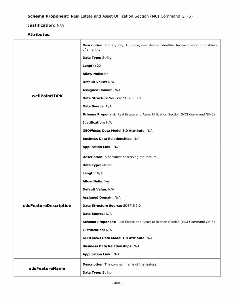
- 480 -
Schema Proponent: Real Estate and Asset Utilization Section (MCI Command GF-6)
Justification: N/A
Attributes:
wellPointIDPK
Description: Primary Key. A unique, user defined identifier for each record or instance
of an entity.
Data Type: String
Length: 20
Allow Nulls: No
Default Value: N/A
Assigned Domain: N/A
Data Structure Source: SDSFIE 3.0
Data Source: N/A
Schema Proponent: Real Estate and Asset Utilization Section (MCI Command GF-6)
Justification: N/A
GEOFidelis Data Model 1.0 Attribute: N/A
Business Data Relationships: N/A
Application Link : N/A
sdsFeatureDescription
Description: A narrative describing the feature.
Data Type: Memo
Length: N/A
Allow Nulls: Yes
Default Value: N/A
Assigned Domain: N/A
Data Structure Source: SDSFIE 3.0
Data Source: N/A
Schema Proponent: Real Estate and Asset Utilization Section (MCI Command GF-6)
Justification: N/A
GEOFidelis Data Model 1.0 Attribute: N/A
Business Data Relationships: N/A
Application Link : N/A
sdsFeatureName Description: The common name of the feature.
Data Type: String
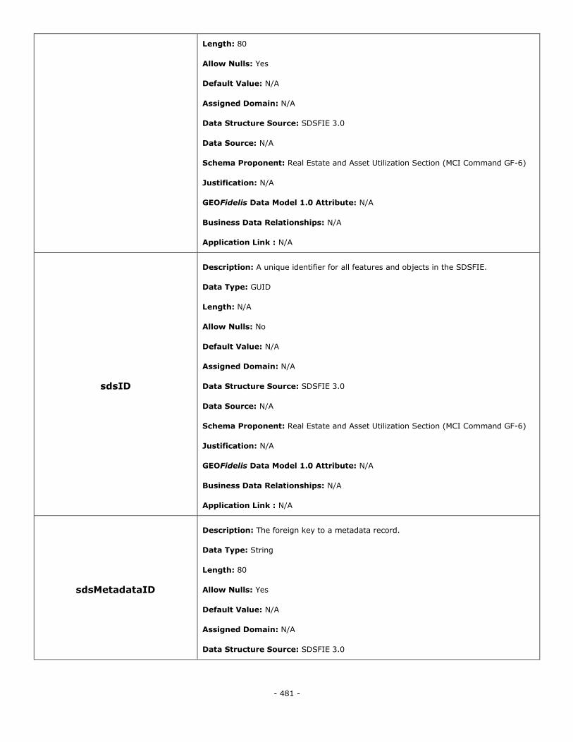
- 481 -
Length: 80
Allow Nulls: Yes
Default Value: N/A
Assigned Domain: N/A
Data Structure Source: SDSFIE 3.0
Data Source: N/A
Schema Proponent: Real Estate and Asset Utilization Section (MCI Command GF-6)
Justification: N/A
GEOFidelis Data Model 1.0 Attribute: N/A
Business Data Relationships: N/A
Application Link : N/A
sdsID
Description: A unique identifier for all features and objects in the SDSFIE.
Data Type: GUID
Length: N/A
Allow Nulls: No
Default Value: N/A
Assigned Domain: N/A
Data Structure Source: SDSFIE 3.0
Data Source: N/A
Schema Proponent: Real Estate and Asset Utilization Section (MCI Command GF-6)
Justification: N/A
GEOFidelis Data Model 1.0 Attribute: N/A
Business Data Relationships: N/A
Application Link : N/A
sdsMetadataID
Description: The foreign key to a metadata record.
Data Type: String
Length: 80
Allow Nulls: Yes
Default Value: N/A
Assigned Domain: N/A
Data Structure Source: SDSFIE 3.0
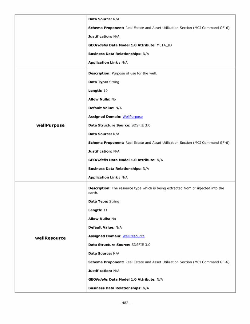
- 482 -
Data Source: N/A
Schema Proponent: Real Estate and Asset Utilization Section (MCI Command GF-6)
Justification: N/A
GEOFidelis Data Model 1.0 Attribute: META_ID
Business Data Relationships: N/A
Application Link : N/A
wellPurpose
Description: Purpose of use for the well.
Data Type: String
Length: 10
Allow Nulls: No
Default Value: N/A
Assigned Domain: WellPurpose
Data Structure Source: SDSFIE 3.0
Data Source: N/A
Schema Proponent: Real Estate and Asset Utilization Section (MCI Command GF-6)
Justification: N/A
GEOFidelis Data Model 1.0 Attribute: N/A
Business Data Relationships: N/A
Application Link : N/A
wellResource
Description: The resource type which is being extracted from or injected into the
earth.
Data Type: String
Length: 11
Allow Nulls: No
Default Value: N/A
Assigned Domain: WellResource
Data Structure Source: SDSFIE 3.0
Data Source: N/A
Schema Proponent: Real Estate and Asset Utilization Section (MCI Command GF-6)
Justification: N/A
GEOFidelis Data Model 1.0 Attribute: N/A
Business Data Relationships: N/A
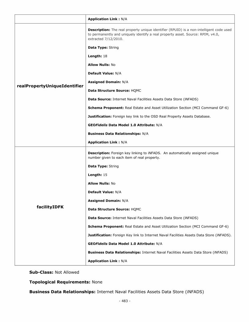
- 483 -
Application Link : N/A
realPropertyUniqueIdentifier
Description: The real property unique identifier (RPUID) is a non-intelligent code used
to permanently and uniquely identify a real property asset. Source: RPIM, v4.0,
extracted 7/12/2010.
Data Type: String
Length: 18
Allow Nulls: No
Default Value: N/A
Assigned Domain: N/A
Data Structure Source: HQMC
Data Source: Internet Naval Facilities Assets Data Store (iNFADS)
Schema Proponent: Real Estate and Asset Utilization Section (MCI Command GF-6)
Justification: Foreign key link to the OSD Real Property Assets Database.
GEOFidelis Data Model 1.0 Attribute: N/A
Business Data Relationships: N/A
Application Link : N/A
facilityIDFK
Description: Foreign key linking to iNFADS. An automatically assigned unique
number given to each item of real property.
Data Type: String
Length: 15
Allow Nulls: No
Default Value: N/A
Assigned Domain: N/A
Data Structure Source: HQMC
Data Source: Internet Naval Facilities Assets Data Store (iNFADS)
Schema Proponent: Real Estate and Asset Utilization Section (MCI Command GF-6)
Justification: Foreign Key link to Internet Naval Facilities Assets Data Store (iNFADS).
GEOFidelis Data Model 1.0 Attribute: N/A
Business Data Relationships: Internet Naval Facilities Assets Data Store (iNFADS)
Application Link : N/A
Sub-Class: Not Allowed
Topological Requirements: None
Business Data Relationships: Internet Naval Facilities Assets Data Store (iNFADS)
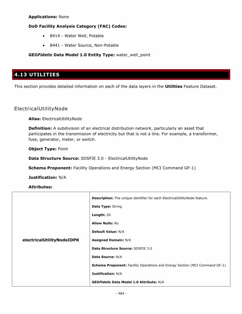
- 484 -
Applications: None
DoD Facility Analysis Category (FAC) Codes:
8414 - Water Well, Potable
8441 - Water Source, Non-Potable
GEOFidelis Data Model 1.0 Entity Type: water_well_point
4.13 UTILITIES
This section provides detailed information on each of the data layers in the Utilities Feature Dataset.
ElectricalUtilityNode
Alias: ElectricalUtilityNode
Definition: A subdivision of an electrical distribution network, particularly an asset that
participates in the transmission of electricity but that is not a line. For example, a transformer,
fuse, generator, meter, or switch.
Object Type: Point
Data Structure Source: SDSFIE 3.0 - ElectricalUtilityNode
Schema Proponent: Facility Operations and Energy Section (MCI Command GF-1)
Justification: N/A
Attributes:
electricalUtilityNodeIDPK
Description: The unique identifier for each ElectricalUtilityNode feature.
Data Type: String
Length: 20
Allow Nulls: No
Default Value: N/A
Assigned Domain: N/A
Data Structure Source: SDSFIE 3.0
Data Source: N/A
Schema Proponent: Facility Operations and Energy Section (MCI Command GF-1)
Justification: N/A
GEOFidelis Data Model 1.0 Attribute: N/A
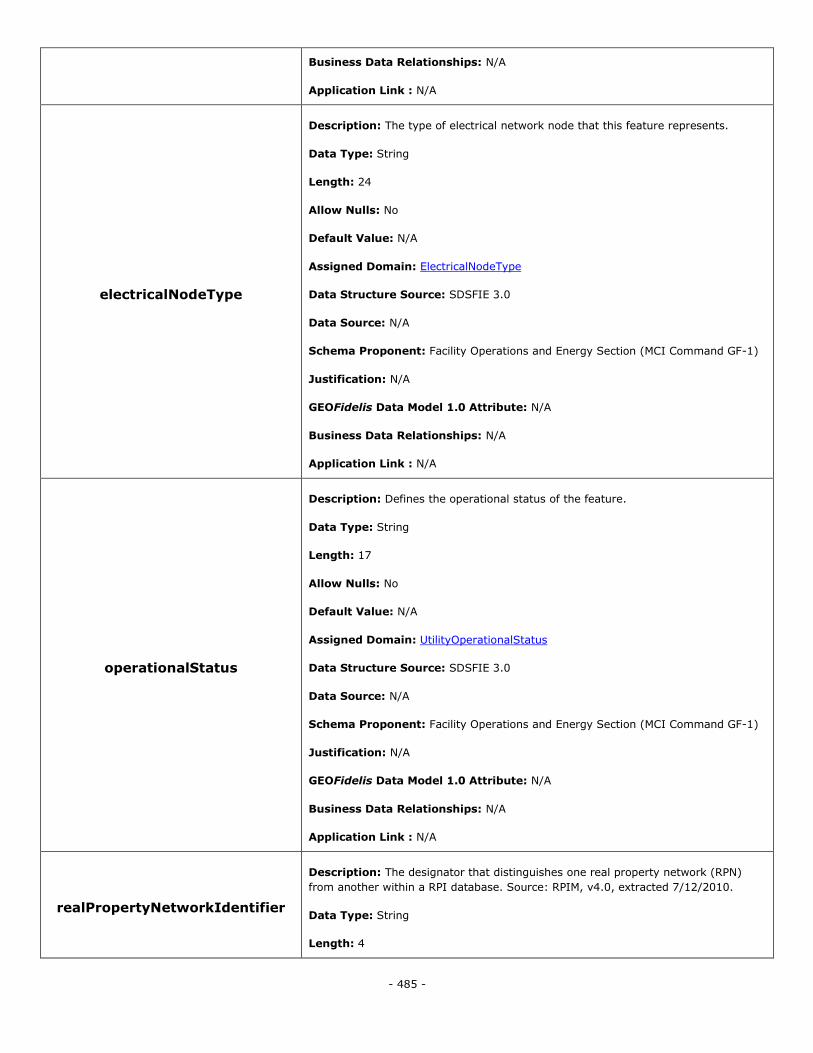
- 485 -
Business Data Relationships: N/A
Application Link : N/A
electricalNodeType
Description: The type of electrical network node that this feature represents.
Data Type: String
Length: 24
Allow Nulls: No
Default Value: N/A
Assigned Domain: ElectricalNodeType
Data Structure Source: SDSFIE 3.0
Data Source: N/A
Schema Proponent: Facility Operations and Energy Section (MCI Command GF-1)
Justification: N/A
GEOFidelis Data Model 1.0 Attribute: N/A
Business Data Relationships: N/A
Application Link : N/A
operationalStatus
Description: Defines the operational status of the feature.
Data Type: String
Length: 17
Allow Nulls: No
Default Value: N/A
Assigned Domain: UtilityOperationalStatus
Data Structure Source: SDSFIE 3.0
Data Source: N/A
Schema Proponent: Facility Operations and Energy Section (MCI Command GF-1)
Justification: N/A
GEOFidelis Data Model 1.0 Attribute: N/A
Business Data Relationships: N/A
Application Link : N/A
realPropertyNetworkIdentifier
Description: The designator that distinguishes one real property network (RPN)
from another within a RPI database. Source: RPIM, v4.0, extracted 7/12/2010.
Data Type: String
Length: 4

- 486 -
Allow Nulls: Yes
Default Value: N/A
Assigned Domain: N/A
Data Structure Source: SDSFIE 3.0
Data Source: N/A
Schema Proponent: Facility Operations and Energy Section (MCI Command GF-1)
Justification: N/A
GEOFidelis Data Model 1.0 Attribute: N/A
Business Data Relationships: N/A
Application Link : N/A
realPropertySiteUniqueId
Description: The unique identifier (UID) used to permanently identify a Site. This
UID will be a Real Property Site Unique Identifier (RPSUID). Source: RPIM, v4.0,
extracted 7/12/2010.
Data Type: Integer
Length: N/A
Allow Nulls: No
Default Value: N/A
Assigned Domain: N/A
Data Structure Source: SDSFIE 3.0
Data Source: N/A
Schema Proponent: Facility Operations and Energy Section (MCI Command GF-1)
Justification: N/A
GEOFidelis Data Model 1.0 Attribute: N/A
Business Data Relationships: N/A
Application Link : N/A
realPropertyUniqueIdentifier
Description: The real property unique identifier (RPUID) is a non-intelligent code
used to permanently and uniquely identify a real property asset. Source: RPIM, v4.0,
extracted 7/12/2010.
Data Type: String
Length: 18
Allow Nulls: No
Default Value: N/A
Assigned Domain: N/A
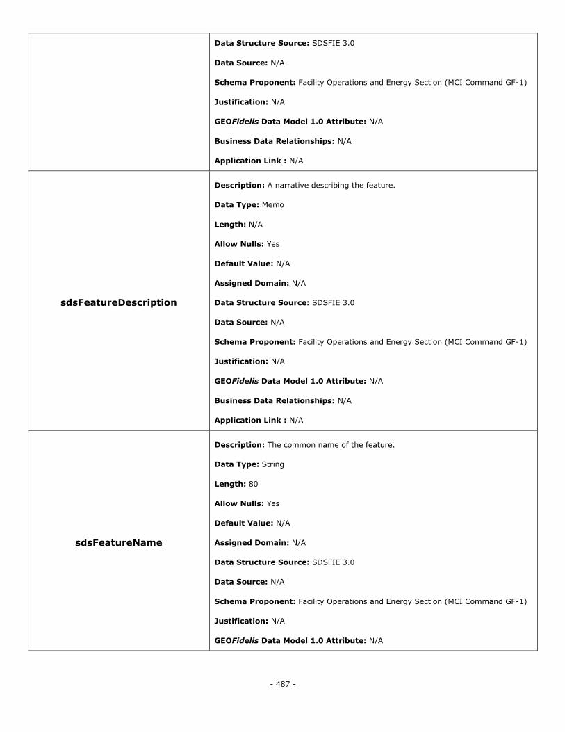
- 487 -
Data Structure Source: SDSFIE 3.0
Data Source: N/A
Schema Proponent: Facility Operations and Energy Section (MCI Command GF-1)
Justification: N/A
GEOFidelis Data Model 1.0 Attribute: N/A
Business Data Relationships: N/A
Application Link : N/A
sdsFeatureDescription
Description: A narrative describing the feature.
Data Type: Memo
Length: N/A
Allow Nulls: Yes
Default Value: N/A
Assigned Domain: N/A
Data Structure Source: SDSFIE 3.0
Data Source: N/A
Schema Proponent: Facility Operations and Energy Section (MCI Command GF-1)
Justification: N/A
GEOFidelis Data Model 1.0 Attribute: N/A
Business Data Relationships: N/A
Application Link : N/A
sdsFeatureName
Description: The common name of the feature.
Data Type: String
Length: 80
Allow Nulls: Yes
Default Value: N/A
Assigned Domain: N/A
Data Structure Source: SDSFIE 3.0
Data Source: N/A
Schema Proponent: Facility Operations and Energy Section (MCI Command GF-1)
Justification: N/A
GEOFidelis Data Model 1.0 Attribute: N/A
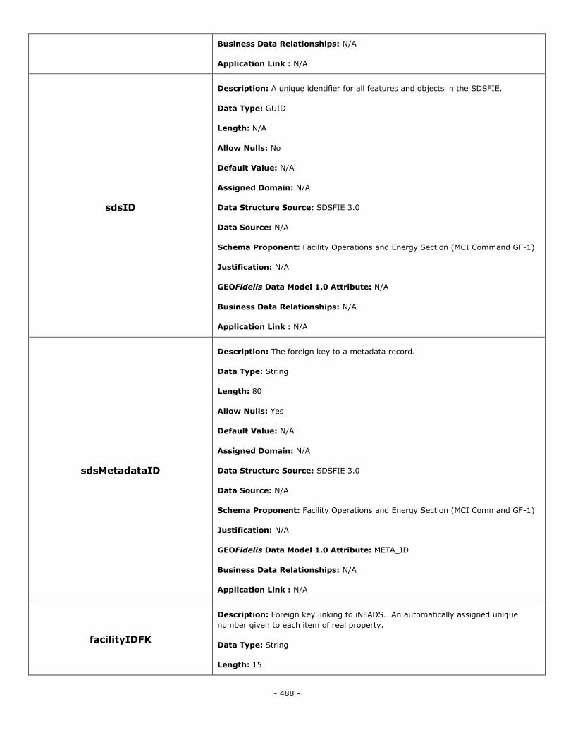
- 488 -
Business Data Relationships: N/A
Application Link : N/A
sdsID
Description: A unique identifier for all features and objects in the SDSFIE.
Data Type: GUID
Length: N/A
Allow Nulls: No
Default Value: N/A
Assigned Domain: N/A
Data Structure Source: SDSFIE 3.0
Data Source: N/A
Schema Proponent: Facility Operations and Energy Section (MCI Command GF-1)
Justification: N/A
GEOFidelis Data Model 1.0 Attribute: N/A
Business Data Relationships: N/A
Application Link : N/A
sdsMetadataID
Description: The foreign key to a metadata record.
Data Type: String
Length: 80
Allow Nulls: Yes
Default Value: N/A
Assigned Domain: N/A
Data Structure Source: SDSFIE 3.0
Data Source: N/A
Schema Proponent: Facility Operations and Energy Section (MCI Command GF-1)
Justification: N/A
GEOFidelis Data Model 1.0 Attribute: META_ID
Business Data Relationships: N/A
Application Link : N/A
facilityIDFK
Description: Foreign key linking to iNFADS. An automatically assigned unique
number given to each item of real property.
Data Type: String
Length: 15
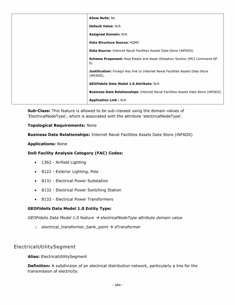
- 489 -
Allow Nulls: No
Default Value: N/A
Assigned Domain: N/A
Data Structure Source: HQMC
Data Source: Internet Naval Facilities Assets Data Store (iNFADS)
Schema Proponent: Real Estate and Asset Utilization Section (MCI Command GF-
6)
Justification: Foreign Key link to Internet Naval Facilities Assets Data Store
(iNFADS).
GEOFidelis Data Model 1.0 Attribute: N/A
Business Data Relationships: Internet Naval Facilities Assets Data Store (iNFADS)
Application Link : N/A
Sub-Class: This feature is allowed to be sub-classed using the domain values of
'ElectricalNodeType', which is associated with the attribute 'electricalNodeType'.
Topological Requirements: None
Business Data Relationships: Internet Naval Facilities Assets Data Store (iNFADS)
Applications: None
DoD Facility Analysis Category (FAC) Codes:
1362 - Airfield Lighting
8122 - Exterior Lighting, Pole
8131 - Electrical Power Substation
8132 - Electrical Power Switching Station
8133 - Electrical Power Transformers
GEOFidelis Data Model 1.0 Entity Type:
GEOFidelis Data Model 1.0 feature electricalNodeType attribute domain value
o electrical_transformer_bank_point eTransformer
ElectricalUtilitySegment
Alias: ElectricalUtilitySegment
Definition: A subdivision of an electrical distribution network, particularly a line for the
transmission of electricity.
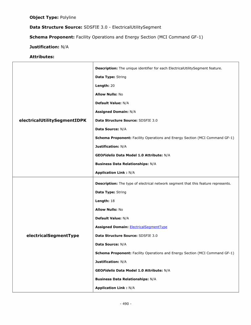
- 490 -
Object Type: Polyline
Data Structure Source: SDSFIE 3.0 - ElectricalUtilitySegment
Schema Proponent: Facility Operations and Energy Section (MCI Command GF-1)
Justification: N/A
Attributes:
electricalUtilitySegmentIDPK
Description: The unique identifier for each ElectricalUtilitySegment feature.
Data Type: String
Length: 20
Allow Nulls: No
Default Value: N/A
Assigned Domain: N/A
Data Structure Source: SDSFIE 3.0
Data Source: N/A
Schema Proponent: Facility Operations and Energy Section (MCI Command GF-1)
Justification: N/A
GEOFidelis Data Model 1.0 Attribute: N/A
Business Data Relationships: N/A
Application Link : N/A
electricalSegmentType
Description: The type of electrical network segment that this feature represents.
Data Type: String
Length: 18
Allow Nulls: No
Default Value: N/A
Assigned Domain: ElectricalSegmentType
Data Structure Source: SDSFIE 3.0
Data Source: N/A
Schema Proponent: Facility Operations and Energy Section (MCI Command GF-1)
Justification: N/A
GEOFidelis Data Model 1.0 Attribute: N/A
Business Data Relationships: N/A
Application Link : N/A
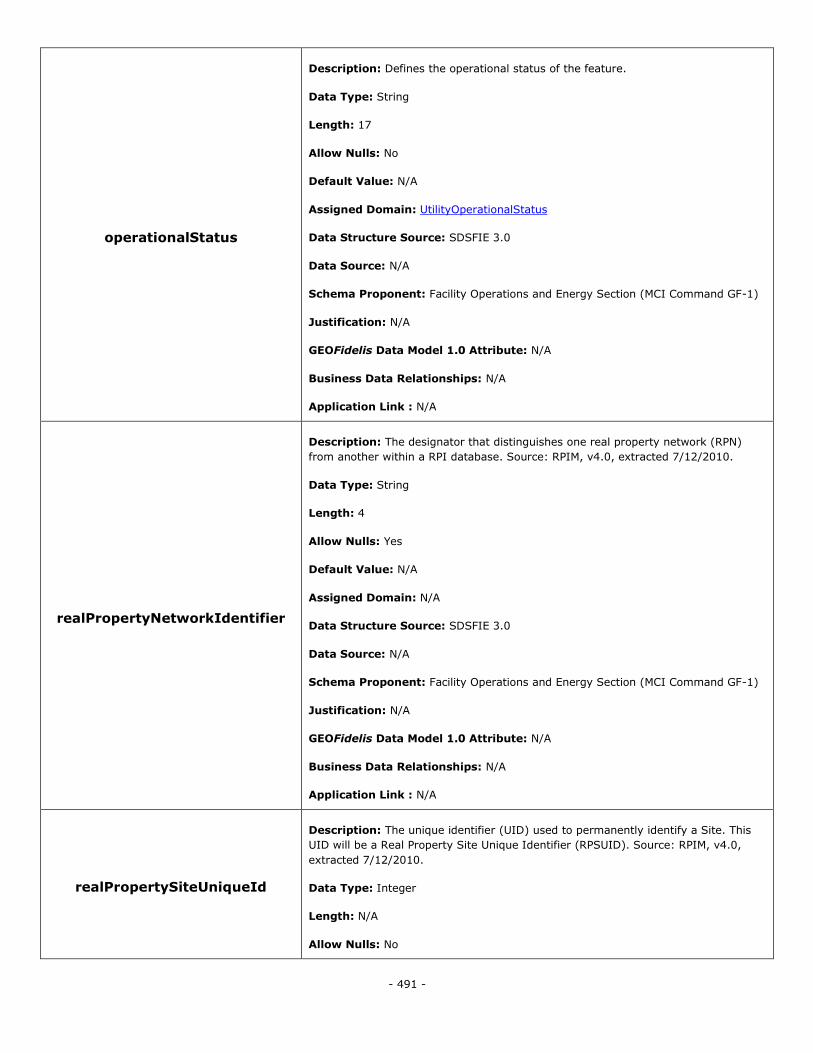
- 491 -
operationalStatus
Description: Defines the operational status of the feature.
Data Type: String
Length: 17
Allow Nulls: No
Default Value: N/A
Assigned Domain: UtilityOperationalStatus
Data Structure Source: SDSFIE 3.0
Data Source: N/A
Schema Proponent: Facility Operations and Energy Section (MCI Command GF-1)
Justification: N/A
GEOFidelis Data Model 1.0 Attribute: N/A
Business Data Relationships: N/A
Application Link : N/A
realPropertyNetworkIdentifier
Description: The designator that distinguishes one real property network (RPN)
from another within a RPI database. Source: RPIM, v4.0, extracted 7/12/2010.
Data Type: String
Length: 4
Allow Nulls: Yes
Default Value: N/A
Assigned Domain: N/A
Data Structure Source: SDSFIE 3.0
Data Source: N/A
Schema Proponent: Facility Operations and Energy Section (MCI Command GF-1)
Justification: N/A
GEOFidelis Data Model 1.0 Attribute: N/A
Business Data Relationships: N/A
Application Link : N/A
realPropertySiteUniqueId
Description: The unique identifier (UID) used to permanently identify a Site. This
UID will be a Real Property Site Unique Identifier (RPSUID). Source: RPIM, v4.0,
extracted 7/12/2010.
Data Type: Integer
Length: N/A
Allow Nulls: No
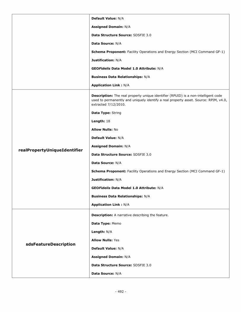
- 492 -
Default Value: N/A
Assigned Domain: N/A
Data Structure Source: SDSFIE 3.0
Data Source: N/A
Schema Proponent: Facility Operations and Energy Section (MCI Command GF-1)
Justification: N/A
GEOFidelis Data Model 1.0 Attribute: N/A
Business Data Relationships: N/A
Application Link : N/A
realPropertyUniqueIdentifier
Description: The real property unique identifier (RPUID) is a non-intelligent code
used to permanently and uniquely identify a real property asset. Source: RPIM, v4.0,
extracted 7/12/2010.
Data Type: String
Length: 18
Allow Nulls: No
Default Value: N/A
Assigned Domain: N/A
Data Structure Source: SDSFIE 3.0
Data Source: N/A
Schema Proponent: Facility Operations and Energy Section (MCI Command GF-1)
Justification: N/A
GEOFidelis Data Model 1.0 Attribute: N/A
Business Data Relationships: N/A
Application Link : N/A
sdsFeatureDescription
Description: A narrative describing the feature.
Data Type: Memo
Length: N/A
Allow Nulls: Yes
Default Value: N/A
Assigned Domain: N/A
Data Structure Source: SDSFIE 3.0
Data Source: N/A
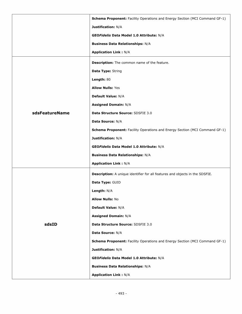
- 493 -
Schema Proponent: Facility Operations and Energy Section (MCI Command GF-1)
Justification: N/A
GEOFidelis Data Model 1.0 Attribute: N/A
Business Data Relationships: N/A
Application Link : N/A
sdsFeatureName
Description: The common name of the feature.
Data Type: String
Length: 80
Allow Nulls: Yes
Default Value: N/A
Assigned Domain: N/A
Data Structure Source: SDSFIE 3.0
Data Source: N/A
Schema Proponent: Facility Operations and Energy Section (MCI Command GF-1)
Justification: N/A
GEOFidelis Data Model 1.0 Attribute: N/A
Business Data Relationships: N/A
Application Link : N/A
sdsID
Description: A unique identifier for all features and objects in the SDSFIE.
Data Type: GUID
Length: N/A
Allow Nulls: No
Default Value: N/A
Assigned Domain: N/A
Data Structure Source: SDSFIE 3.0
Data Source: N/A
Schema Proponent: Facility Operations and Energy Section (MCI Command GF-1)
Justification: N/A
GEOFidelis Data Model 1.0 Attribute: N/A
Business Data Relationships: N/A
Application Link : N/A
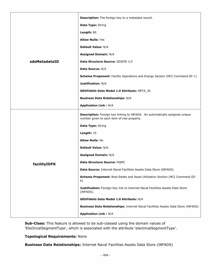
- 494 -
sdsMetadataID
Description: The foreign key to a metadata record.
Data Type: String
Length: 80
Allow Nulls: Yes
Default Value: N/A
Assigned Domain: N/A
Data Structure Source: SDSFIE 3.0
Data Source: N/A
Schema Proponent: Facility Operations and Energy Section (MCI Command GF-1)
Justification: N/A
GEOFidelis Data Model 1.0 Attribute: META_ID
Business Data Relationships: N/A
Application Link : N/A
facilityIDFK
Description: Foreign key linking to iNFADS. An automatically assigned unique
number given to each item of real property.
Data Type: String
Length: 15
Allow Nulls: No
Default Value: N/A
Assigned Domain: N/A
Data Structure Source: HQMC
Data Source: Internet Naval Facilities Assets Data Store (iNFADS)
Schema Proponent: Real Estate and Asset Utilization Section (MCI Command GF-
6)
Justification: Foreign Key link to Internet Naval Facilities Assets Data Store
(iNFADS).
GEOFidelis Data Model 1.0 Attribute: N/A
Business Data Relationships: Internet Naval Facilities Assets Data Store (iNFADS)
Application Link : N/A
Sub-Class: This feature is allowed to be sub-classed using the domain values of
'ElectricalSegmentType', which is associated with the attribute 'electricalSegmentType'.
Topological Requirements: None
Business Data Relationships: Internet Naval Facilities Assets Data Store (iNFADS)
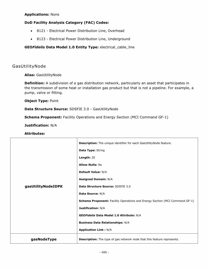
- 495 -
Applications: None
DoD Facility Analysis Category (FAC) Codes:
8121 - Electrical Power Distribution Line, Overhead
8123 - Electrical Power Distribution Line, Underground
GEOFidelis Data Model 1.0 Entity Type: electrical_cable_line
GasUtilityNode
Alias: GasUtilityNode
Definition: A subdivision of a gas distribution network, particularly an asset that participates in
the transmission of some heat or installation gas product but that is not a pipeline. For example, a
pump, valve or fitting.
Object Type: Point
Data Structure Source: SDSFIE 3.0 - GasUtilityNode
Schema Proponent: Facility Operations and Energy Section (MCI Command GF-1)
Justification: N/A
Attributes:
gasUtilityNodeIDPK
Description: The unique identifier for each GasUtilityNode feature.
Data Type: String
Length: 20
Allow Nulls: No
Default Value: N/A
Assigned Domain: N/A
Data Structure Source: SDSFIE 3.0
Data Source: N/A
Schema Proponent: Facility Operations and Energy Section (MCI Command GF-1)
Justification: N/A
GEOFidelis Data Model 1.0 Attribute: N/A
Business Data Relationships: N/A
Application Link : N/A
gasNodeType Description: The type of gas network node that this feature represents.
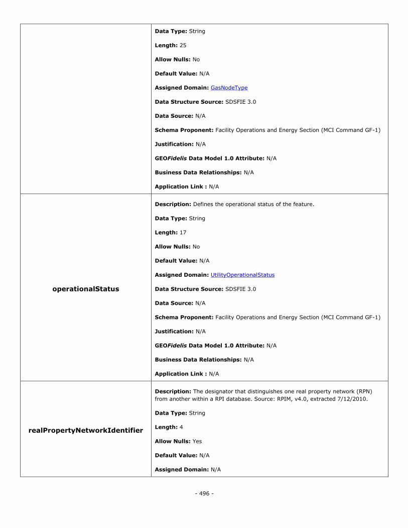
- 496 -
Data Type: String
Length: 25
Allow Nulls: No
Default Value: N/A
Assigned Domain: GasNodeType
Data Structure Source: SDSFIE 3.0
Data Source: N/A
Schema Proponent: Facility Operations and Energy Section (MCI Command GF-1)
Justification: N/A
GEOFidelis Data Model 1.0 Attribute: N/A
Business Data Relationships: N/A
Application Link : N/A
operationalStatus
Description: Defines the operational status of the feature.
Data Type: String
Length: 17
Allow Nulls: No
Default Value: N/A
Assigned Domain: UtilityOperationalStatus
Data Structure Source: SDSFIE 3.0
Data Source: N/A
Schema Proponent: Facility Operations and Energy Section (MCI Command GF-1)
Justification: N/A
GEOFidelis Data Model 1.0 Attribute: N/A
Business Data Relationships: N/A
Application Link : N/A
realPropertyNetworkIdentifier
Description: The designator that distinguishes one real property network (RPN)
from another within a RPI database. Source: RPIM, v4.0, extracted 7/12/2010.
Data Type: String
Length: 4
Allow Nulls: Yes
Default Value: N/A
Assigned Domain: N/A
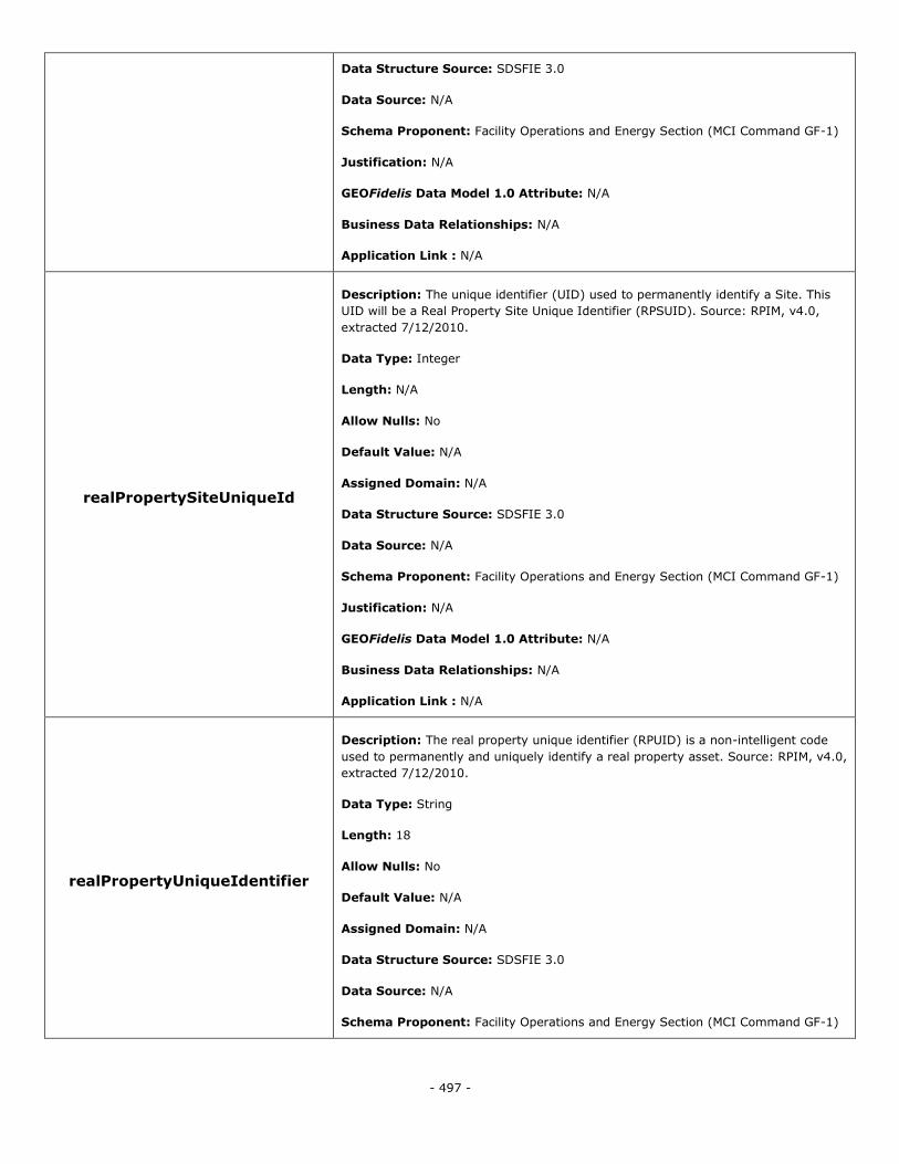
- 497 -
Data Structure Source: SDSFIE 3.0
Data Source: N/A
Schema Proponent: Facility Operations and Energy Section (MCI Command GF-1)
Justification: N/A
GEOFidelis Data Model 1.0 Attribute: N/A
Business Data Relationships: N/A
Application Link : N/A
realPropertySiteUniqueId
Description: The unique identifier (UID) used to permanently identify a Site. This
UID will be a Real Property Site Unique Identifier (RPSUID). Source: RPIM, v4.0,
extracted 7/12/2010.
Data Type: Integer
Length: N/A
Allow Nulls: No
Default Value: N/A
Assigned Domain: N/A
Data Structure Source: SDSFIE 3.0
Data Source: N/A
Schema Proponent: Facility Operations and Energy Section (MCI Command GF-1)
Justification: N/A
GEOFidelis Data Model 1.0 Attribute: N/A
Business Data Relationships: N/A
Application Link : N/A
realPropertyUniqueIdentifier
Description: The real property unique identifier (RPUID) is a non-intelligent code
used to permanently and uniquely identify a real property asset. Source: RPIM, v4.0,
extracted 7/12/2010.
Data Type: String
Length: 18
Allow Nulls: No
Default Value: N/A
Assigned Domain: N/A
Data Structure Source: SDSFIE 3.0
Data Source: N/A
Schema Proponent: Facility Operations and Energy Section (MCI Command GF-1)

- 498 -
Justification: N/A
GEOFidelis Data Model 1.0 Attribute: N/A
Business Data Relationships: N/A
Application Link : N/A
sdsFeatureDescription
Description: A narrative describing the feature.
Data Type: Memo
Length: N/A
Allow Nulls: Yes
Default Value: N/A
Assigned Domain: N/A
Data Structure Source: SDSFIE 3.0
Data Source: N/A
Schema Proponent: Facility Operations and Energy Section (MCI Command GF-1)
Justification: N/A
GEOFidelis Data Model 1.0 Attribute: N/A
Business Data Relationships: N/A
Application Link : N/A
sdsFeatureName
Description: The common name of the feature.
Data Type: String
Length: 80
Allow Nulls: Yes
Default Value: N/A
Assigned Domain: N/A
Data Structure Source: SDSFIE 3.0
Data Source: N/A
Schema Proponent: Facility Operations and Energy Section (MCI Command GF-1)
Justification: N/A
GEOFidelis Data Model 1.0 Attribute: N/A
Business Data Relationships: N/A
Application Link : N/A
sdsID Description: A unique identifier for all features and objects in the SDSFIE.
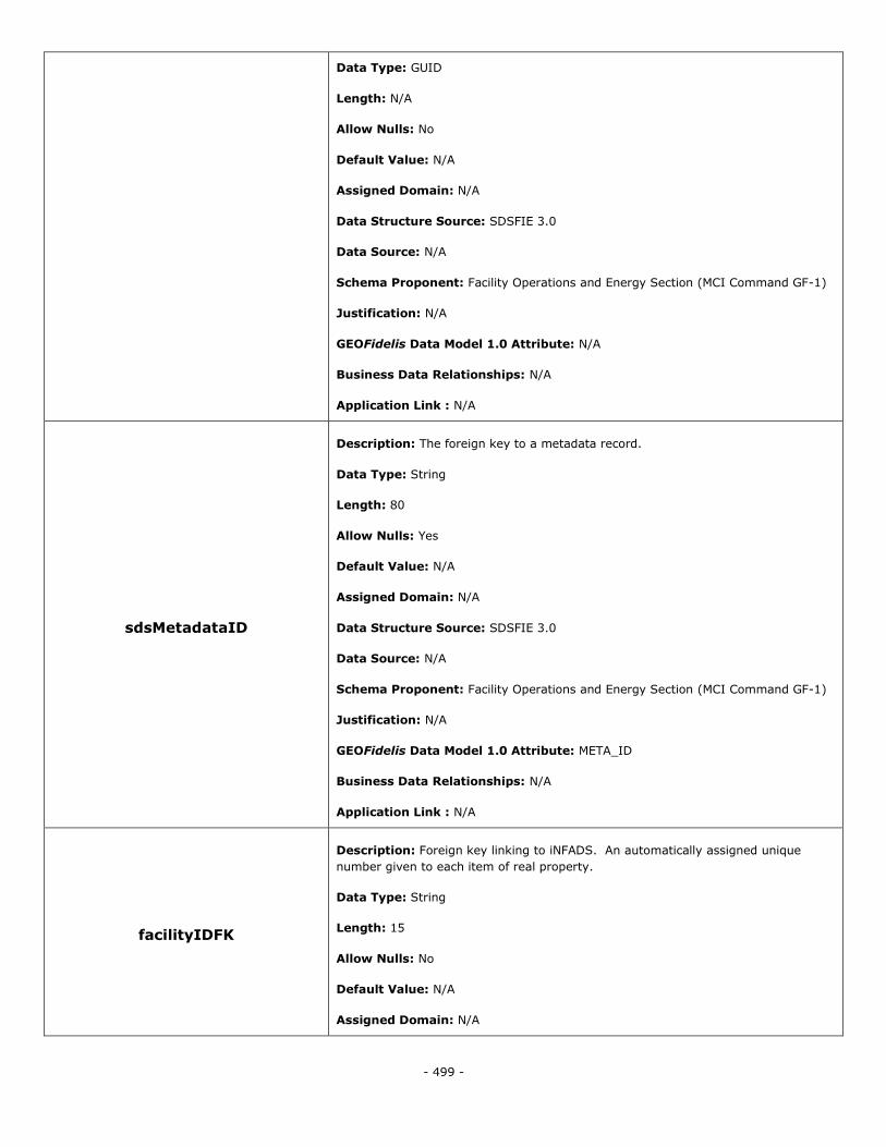
- 499 -
Data Type: GUID
Length: N/A
Allow Nulls: No
Default Value: N/A
Assigned Domain: N/A
Data Structure Source: SDSFIE 3.0
Data Source: N/A
Schema Proponent: Facility Operations and Energy Section (MCI Command GF-1)
Justification: N/A
GEOFidelis Data Model 1.0 Attribute: N/A
Business Data Relationships: N/A
Application Link : N/A
sdsMetadataID
Description: The foreign key to a metadata record.
Data Type: String
Length: 80
Allow Nulls: Yes
Default Value: N/A
Assigned Domain: N/A
Data Structure Source: SDSFIE 3.0
Data Source: N/A
Schema Proponent: Facility Operations and Energy Section (MCI Command GF-1)
Justification: N/A
GEOFidelis Data Model 1.0 Attribute: META_ID
Business Data Relationships: N/A
Application Link : N/A
facilityIDFK
Description: Foreign key linking to iNFADS. An automatically assigned unique
number given to each item of real property.
Data Type: String
Length: 15
Allow Nulls: No
Default Value: N/A
Assigned Domain: N/A
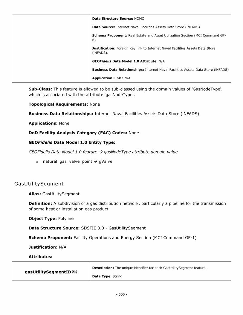
- 500 -
Data Structure Source: HQMC
Data Source: Internet Naval Facilities Assets Data Store (iNFADS)
Schema Proponent: Real Estate and Asset Utilization Section (MCI Command GF-
6)
Justification: Foreign Key link to Internet Naval Facilities Assets Data Store
(iNFADS).
GEOFidelis Data Model 1.0 Attribute: N/A
Business Data Relationships: Internet Naval Facilities Assets Data Store (iNFADS)
Application Link : N/A
Sub-Class: This feature is allowed to be sub-classed using the domain values of 'GasNodeType',
which is associated with the attribute 'gasNodeType'.
Topological Requirements: None
Business Data Relationships: Internet Naval Facilities Assets Data Store (iNFADS)
Applications: None
DoD Facility Analysis Category (FAC) Codes: None
GEOFidelis Data Model 1.0 Entity Type:
GEOFidelis Data Model 1.0 feature gasNodeType attribute domain value
o natural_gas_valve_point gValve
GasUtilitySegment
Alias: GasUtilitySegment
Definition: A subdivision of a gas distribution network, particularly a pipeline for the transmission
of some heat or installation gas product.
Object Type: Polyline
Data Structure Source: SDSFIE 3.0 - GasUtilitySegment
Schema Proponent: Facility Operations and Energy Section (MCI Command GF-1)
Justification: N/A
Attributes:
gasUtilitySegmentIDPK Description: The unique identifier for each GasUtilitySegment feature.
Data Type: String
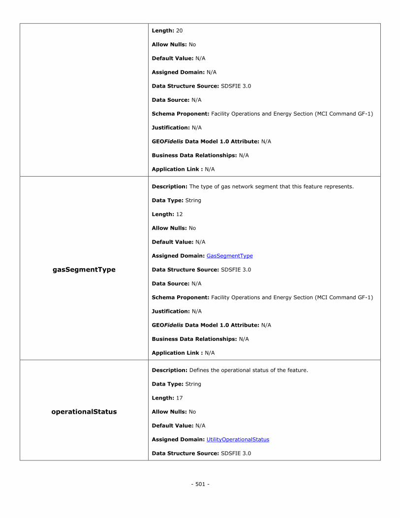
- 501 -
Length: 20
Allow Nulls: No
Default Value: N/A
Assigned Domain: N/A
Data Structure Source: SDSFIE 3.0
Data Source: N/A
Schema Proponent: Facility Operations and Energy Section (MCI Command GF-1)
Justification: N/A
GEOFidelis Data Model 1.0 Attribute: N/A
Business Data Relationships: N/A
Application Link : N/A
gasSegmentType
Description: The type of gas network segment that this feature represents.
Data Type: String
Length: 12
Allow Nulls: No
Default Value: N/A
Assigned Domain: GasSegmentType
Data Structure Source: SDSFIE 3.0
Data Source: N/A
Schema Proponent: Facility Operations and Energy Section (MCI Command GF-1)
Justification: N/A
GEOFidelis Data Model 1.0 Attribute: N/A
Business Data Relationships: N/A
Application Link : N/A
operationalStatus
Description: Defines the operational status of the feature.
Data Type: String
Length: 17
Allow Nulls: No
Default Value: N/A
Assigned Domain: UtilityOperationalStatus
Data Structure Source: SDSFIE 3.0

- 502 -
Data Source: N/A
Schema Proponent: Facility Operations and Energy Section (MCI Command GF-1)
Justification: N/A
GEOFidelis Data Model 1.0 Attribute: N/A
Business Data Relationships: N/A
Application Link : N/A
realPropertyNetworkIdentifier
Description: The designator that distinguishes one real property network (RPN)
from another within a RPI database. Source: RPIM, v4.0, extracted 7/12/2010.
Data Type: String
Length: 4
Allow Nulls: Yes
Default Value: N/A
Assigned Domain: N/A
Data Structure Source: SDSFIE 3.0
Data Source: N/A
Schema Proponent: Facility Operations and Energy Section (MCI Command GF-1)
Justification: N/A
GEOFidelis Data Model 1.0 Attribute: N/A
Business Data Relationships: N/A
Application Link : N/A
realPropertySiteUniqueId
Description: The unique identifier (UID) used to permanently identify a Site. This
UID will be a Real Property Site Unique Identifier (RPSUID). Source: RPIM, v4.0,
extracted 7/12/2010.
Data Type: Integer
Length: N/A
Allow Nulls: No
Default Value: N/A
Assigned Domain: N/A
Data Structure Source: SDSFIE 3.0
Data Source: N/A
Schema Proponent: Facility Operations and Energy Section (MCI Command GF-1)
Justification: N/A
GEOFidelis Data Model 1.0 Attribute: N/A
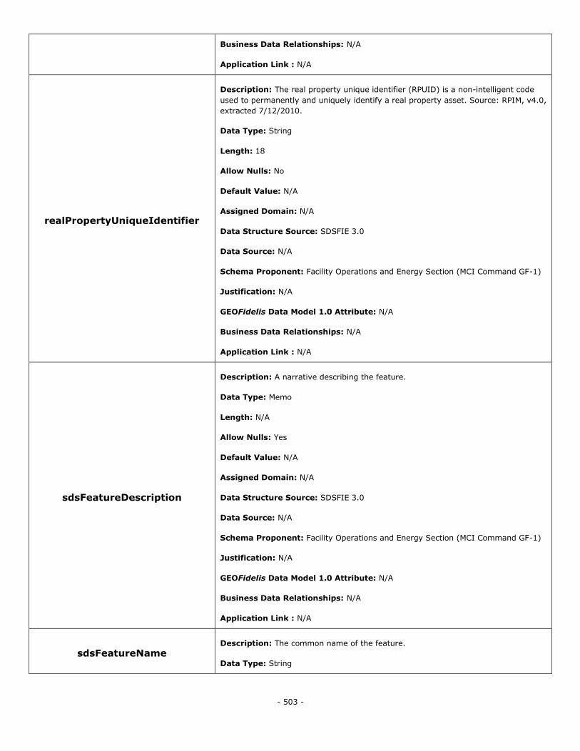
- 503 -
Business Data Relationships: N/A
Application Link : N/A
realPropertyUniqueIdentifier
Description: The real property unique identifier (RPUID) is a non-intelligent code
used to permanently and uniquely identify a real property asset. Source: RPIM, v4.0,
extracted 7/12/2010.
Data Type: String
Length: 18
Allow Nulls: No
Default Value: N/A
Assigned Domain: N/A
Data Structure Source: SDSFIE 3.0
Data Source: N/A
Schema Proponent: Facility Operations and Energy Section (MCI Command GF-1)
Justification: N/A
GEOFidelis Data Model 1.0 Attribute: N/A
Business Data Relationships: N/A
Application Link : N/A
sdsFeatureDescription
Description: A narrative describing the feature.
Data Type: Memo
Length: N/A
Allow Nulls: Yes
Default Value: N/A
Assigned Domain: N/A
Data Structure Source: SDSFIE 3.0
Data Source: N/A
Schema Proponent: Facility Operations and Energy Section (MCI Command GF-1)
Justification: N/A
GEOFidelis Data Model 1.0 Attribute: N/A
Business Data Relationships: N/A
Application Link : N/A
sdsFeatureName Description: The common name of the feature.
Data Type: String
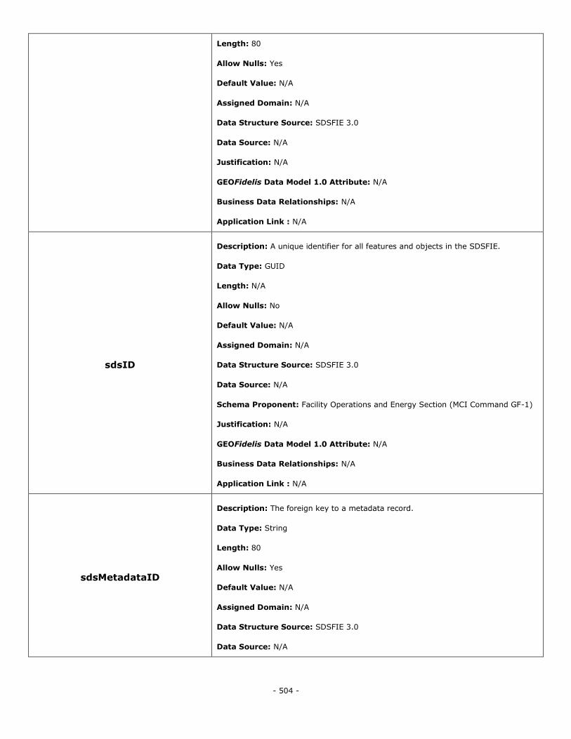
- 504 -
Length: 80
Allow Nulls: Yes
Default Value: N/A
Assigned Domain: N/A
Data Structure Source: SDSFIE 3.0
Data Source: N/A
Justification: N/A
GEOFidelis Data Model 1.0 Attribute: N/A
Business Data Relationships: N/A
Application Link : N/A
sdsID
Description: A unique identifier for all features and objects in the SDSFIE.
Data Type: GUID
Length: N/A
Allow Nulls: No
Default Value: N/A
Assigned Domain: N/A
Data Structure Source: SDSFIE 3.0
Data Source: N/A
Schema Proponent: Facility Operations and Energy Section (MCI Command GF-1)
Justification: N/A
GEOFidelis Data Model 1.0 Attribute: N/A
Business Data Relationships: N/A
Application Link : N/A
sdsMetadataID
Description: The foreign key to a metadata record.
Data Type: String
Length: 80
Allow Nulls: Yes
Default Value: N/A
Assigned Domain: N/A
Data Structure Source: SDSFIE 3.0
Data Source: N/A
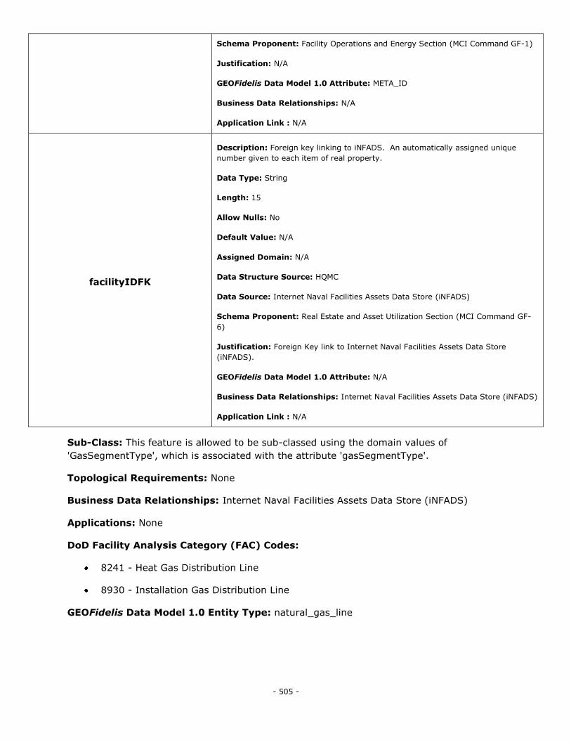
- 505 -
Schema Proponent: Facility Operations and Energy Section (MCI Command GF-1)
Justification: N/A
GEOFidelis Data Model 1.0 Attribute: META_ID
Business Data Relationships: N/A
Application Link : N/A
facilityIDFK
Description: Foreign key linking to iNFADS. An automatically assigned unique
number given to each item of real property.
Data Type: String
Length: 15
Allow Nulls: No
Default Value: N/A
Assigned Domain: N/A
Data Structure Source: HQMC
Data Source: Internet Naval Facilities Assets Data Store (iNFADS)
Schema Proponent: Real Estate and Asset Utilization Section (MCI Command GF-
6)
Justification: Foreign Key link to Internet Naval Facilities Assets Data Store
(iNFADS).
GEOFidelis Data Model 1.0 Attribute: N/A
Business Data Relationships: Internet Naval Facilities Assets Data Store (iNFADS)
Application Link : N/A
Sub-Class: This feature is allowed to be sub-classed using the domain values of
'GasSegmentType', which is associated with the attribute 'gasSegmentType'.
Topological Requirements: None
Business Data Relationships: Internet Naval Facilities Assets Data Store (iNFADS)
Applications: None
DoD Facility Analysis Category (FAC) Codes:
8241 - Heat Gas Distribution Line
8930 - Installation Gas Distribution Line
GEOFidelis Data Model 1.0 Entity Type: natural_gas_line
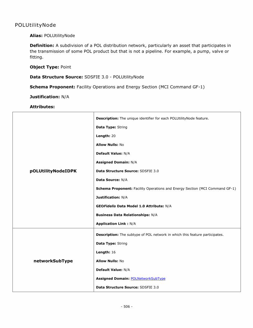
- 506 -
POLUtilityNode
Alias: POLUtilityNode
Definition: A subdivision of a POL distribution network, particularly an asset that participates in
the transmission of some POL product but that is not a pipeline. For example, a pump, valve or
fitting.
Object Type: Point
Data Structure Source: SDSFIE 3.0 - POLUtilityNode
Schema Proponent: Facility Operations and Energy Section (MCI Command GF-1)
Justification: N/A
Attributes:
pOLUtilityNodeIDPK
Description: The unique identifier for each POLUtilityNode feature.
Data Type: String
Length: 20
Allow Nulls: No
Default Value: N/A
Assigned Domain: N/A
Data Structure Source: SDSFIE 3.0
Data Source: N/A
Schema Proponent: Facility Operations and Energy Section (MCI Command GF-1)
Justification: N/A
GEOFidelis Data Model 1.0 Attribute: N/A
Business Data Relationships: N/A
Application Link : N/A
networkSubType
Description: The subtype of POL network in which this feature participates.
Data Type: String
Length: 16
Allow Nulls: No
Default Value: N/A
Assigned Domain: POLNetworkSubType
Data Structure Source: SDSFIE 3.0
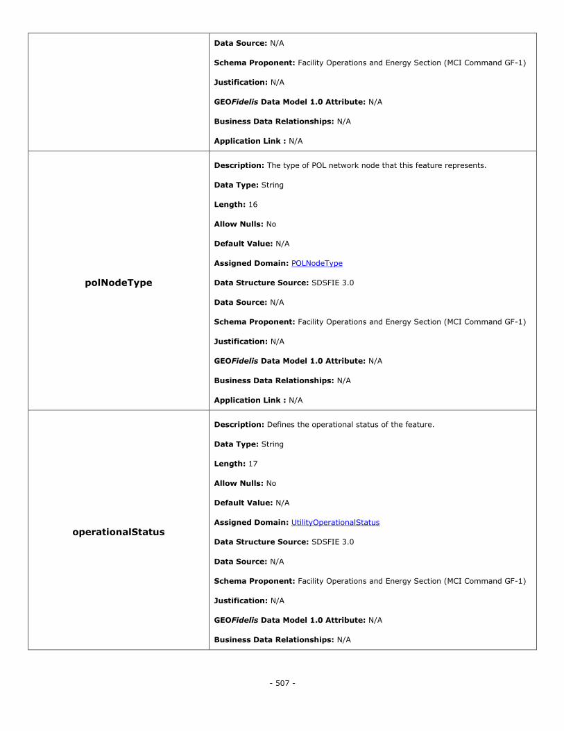
- 507 -
Data Source: N/A
Schema Proponent: Facility Operations and Energy Section (MCI Command GF-1)
Justification: N/A
GEOFidelis Data Model 1.0 Attribute: N/A
Business Data Relationships: N/A
Application Link : N/A
polNodeType
Description: The type of POL network node that this feature represents.
Data Type: String
Length: 16
Allow Nulls: No
Default Value: N/A
Assigned Domain: POLNodeType
Data Structure Source: SDSFIE 3.0
Data Source: N/A
Schema Proponent: Facility Operations and Energy Section (MCI Command GF-1)
Justification: N/A
GEOFidelis Data Model 1.0 Attribute: N/A
Business Data Relationships: N/A
Application Link : N/A
operationalStatus
Description: Defines the operational status of the feature.
Data Type: String
Length: 17
Allow Nulls: No
Default Value: N/A
Assigned Domain: UtilityOperationalStatus
Data Structure Source: SDSFIE 3.0
Data Source: N/A
Schema Proponent: Facility Operations and Energy Section (MCI Command GF-1)
Justification: N/A
GEOFidelis Data Model 1.0 Attribute: N/A
Business Data Relationships: N/A
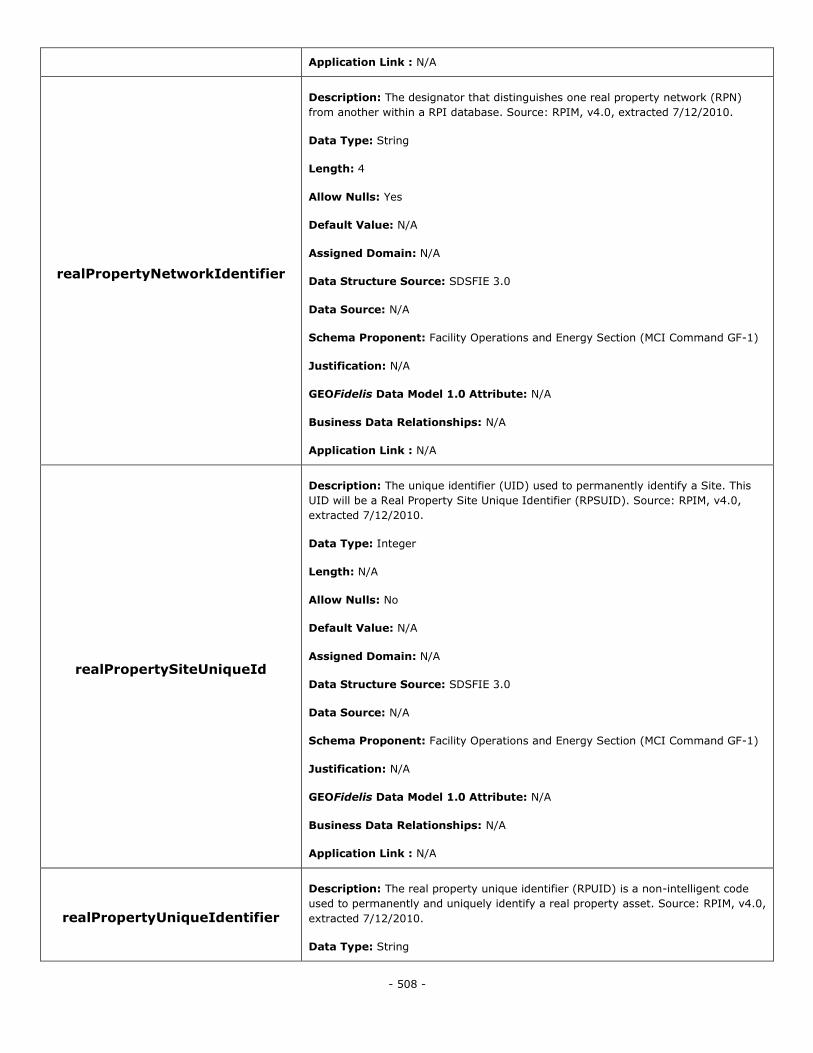
- 508 -
Application Link : N/A
realPropertyNetworkIdentifier
Description: The designator that distinguishes one real property network (RPN)
from another within a RPI database. Source: RPIM, v4.0, extracted 7/12/2010.
Data Type: String
Length: 4
Allow Nulls: Yes
Default Value: N/A
Assigned Domain: N/A
Data Structure Source: SDSFIE 3.0
Data Source: N/A
Schema Proponent: Facility Operations and Energy Section (MCI Command GF-1)
Justification: N/A
GEOFidelis Data Model 1.0 Attribute: N/A
Business Data Relationships: N/A
Application Link : N/A
realPropertySiteUniqueId
Description: The unique identifier (UID) used to permanently identify a Site. This
UID will be a Real Property Site Unique Identifier (RPSUID). Source: RPIM, v4.0,
extracted 7/12/2010.
Data Type: Integer
Length: N/A
Allow Nulls: No
Default Value: N/A
Assigned Domain: N/A
Data Structure Source: SDSFIE 3.0
Data Source: N/A
Schema Proponent: Facility Operations and Energy Section (MCI Command GF-1)
Justification: N/A
GEOFidelis Data Model 1.0 Attribute: N/A
Business Data Relationships: N/A
Application Link : N/A
realPropertyUniqueIdentifier
Description: The real property unique identifier (RPUID) is a non-intelligent code
used to permanently and uniquely identify a real property asset. Source: RPIM, v4.0,
extracted 7/12/2010.
Data Type: String
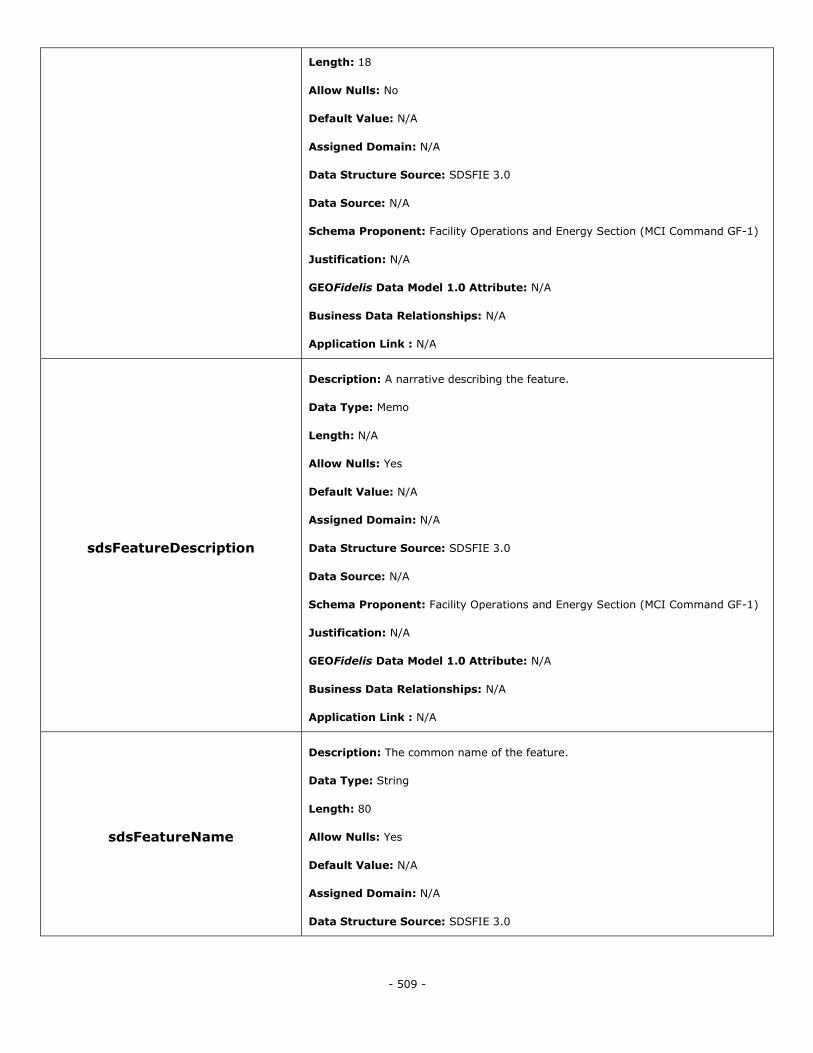
- 509 -
Length: 18
Allow Nulls: No
Default Value: N/A
Assigned Domain: N/A
Data Structure Source: SDSFIE 3.0
Data Source: N/A
Schema Proponent: Facility Operations and Energy Section (MCI Command GF-1)
Justification: N/A
GEOFidelis Data Model 1.0 Attribute: N/A
Business Data Relationships: N/A
Application Link : N/A
sdsFeatureDescription
Description: A narrative describing the feature.
Data Type: Memo
Length: N/A
Allow Nulls: Yes
Default Value: N/A
Assigned Domain: N/A
Data Structure Source: SDSFIE 3.0
Data Source: N/A
Schema Proponent: Facility Operations and Energy Section (MCI Command GF-1)
Justification: N/A
GEOFidelis Data Model 1.0 Attribute: N/A
Business Data Relationships: N/A
Application Link : N/A
sdsFeatureName
Description: The common name of the feature.
Data Type: String
Length: 80
Allow Nulls: Yes
Default Value: N/A
Assigned Domain: N/A
Data Structure Source: SDSFIE 3.0
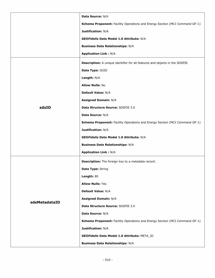
- 510 -
Data Source: N/A
Schema Proponent: Facility Operations and Energy Section (MCI Command GF-1)
Justification: N/A
GEOFidelis Data Model 1.0 Attribute: N/A
Business Data Relationships: N/A
Application Link : N/A
sdsID
Description: A unique identifier for all features and objects in the SDSFIE.
Data Type: GUID
Length: N/A
Allow Nulls: No
Default Value: N/A
Assigned Domain: N/A
Data Structure Source: SDSFIE 3.0
Data Source: N/A
Schema Proponent: Facility Operations and Energy Section (MCI Command GF-1)
Justification: N/A
GEOFidelis Data Model 1.0 Attribute: N/A
Business Data Relationships: N/A
Application Link : N/A
sdsMetadataID
Description: The foreign key to a metadata record.
Data Type: String
Length: 80
Allow Nulls: Yes
Default Value: N/A
Assigned Domain: N/A
Data Structure Source: SDSFIE 3.0
Data Source: N/A
Schema Proponent: Facility Operations and Energy Section (MCI Command GF-1)
Justification: N/A
GEOFidelis Data Model 1.0 Attribute: META_ID
Business Data Relationships: N/A
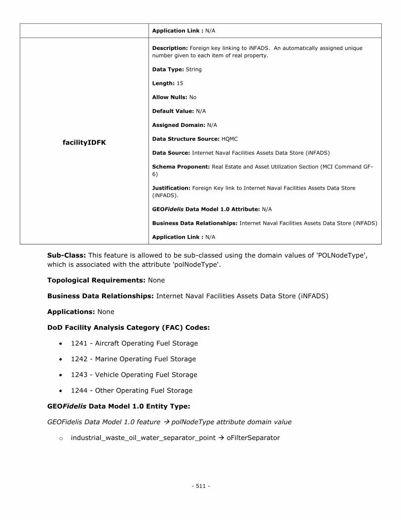
- 511 -
Application Link : N/A
facilityIDFK
Description: Foreign key linking to iNFADS. An automatically assigned unique
number given to each item of real property.
Data Type: String
Length: 15
Allow Nulls: No
Default Value: N/A
Assigned Domain: N/A
Data Structure Source: HQMC
Data Source: Internet Naval Facilities Assets Data Store (iNFADS)
Schema Proponent: Real Estate and Asset Utilization Section (MCI Command GF-
6)
Justification: Foreign Key link to Internet Naval Facilities Assets Data Store
(iNFADS).
GEOFidelis Data Model 1.0 Attribute: N/A
Business Data Relationships: Internet Naval Facilities Assets Data Store (iNFADS)
Application Link : N/A
Sub-Class: This feature is allowed to be sub-classed using the domain values of 'POLNodeType',
which is associated with the attribute 'polNodeType'.
Topological Requirements: None
Business Data Relationships: Internet Naval Facilities Assets Data Store (iNFADS)
Applications: None
DoD Facility Analysis Category (FAC) Codes:
1241 - Aircraft Operating Fuel Storage
1242 - Marine Operating Fuel Storage
1243 - Vehicle Operating Fuel Storage
1244 - Other Operating Fuel Storage
GEOFidelis Data Model 1.0 Entity Type:
GEOFidelis Data Model 1.0 feature polNodeType attribute domain value
o industrial_waste_oil_water_separator_point oFilterSeparator
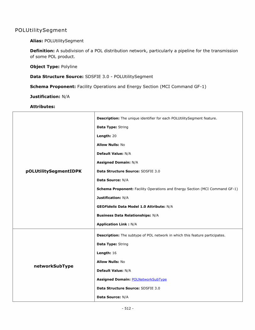
- 512 -
POLUtilitySegment
Alias: POLUtilitySegment
Definition: A subdivision of a POL distribution network, particularly a pipeline for the transmission
of some POL product.
Object Type: Polyline
Data Structure Source: SDSFIE 3.0 - POLUtilitySegment
Schema Proponent: Facility Operations and Energy Section (MCI Command GF-1)
Justification: N/A
Attributes:
pOLUtilitySegmentIDPK
Description: The unique identifier for each POLUtilitySegment feature.
Data Type: String
Length: 20
Allow Nulls: No
Default Value: N/A
Assigned Domain: N/A
Data Structure Source: SDSFIE 3.0
Data Source: N/A
Schema Proponent: Facility Operations and Energy Section (MCI Command GF-1)
Justification: N/A
GEOFidelis Data Model 1.0 Attribute: N/A
Business Data Relationships: N/A
Application Link : N/A
networkSubType
Description: The subtype of POL network in which this feature participates.
Data Type: String
Length: 16
Allow Nulls: No
Default Value: N/A
Assigned Domain: POLNetworkSubType
Data Structure Source: SDSFIE 3.0
Data Source: N/A

- 513 -
Schema Proponent: Facility Operations and Energy Section (MCI Command GF-1)
Justification: N/A
GEOFidelis Data Model 1.0 Attribute: N/A
Business Data Relationships: N/A
Application Link : N/A
polSegmentType
Description: The type of POL network node that this feature represents.
Data Type: String
Length: 22
Allow Nulls: No
Default Value: N/A
Assigned Domain: POLSegmentType
Data Structure Source: SDSFIE 3.0
Data Source: N/A
Schema Proponent: Facility Operations and Energy Section (MCI Command GF-1)
Justification: N/A
GEOFidelis Data Model 1.0 Attribute: N/A
Business Data Relationships: N/A
Application Link : N/A
operationalStatus
Description: Defines the operational status of the feature.
Data Type: String
Length: 17
Allow Nulls: No
Default Value: N/A
Assigned Domain: UtilityOperationalStatus
Data Structure Source: SDSFIE 3.0
Data Source: N/A
Schema Proponent: Facility Operations and Energy Section (MCI Command GF-1)
Justification: N/A
GEOFidelis Data Model 1.0 Attribute: N/A
Business Data Relationships: N/A
Application Link : N/A

- 514 -
realPropertyNetworkIdentifier
Description: The designator that distinguishes one real property network (RPN)
from another within a RPI database. Source: RPIM, v4.0, extracted 7/12/2010.
Data Type: String
Length: 4
Allow Nulls: Yes
Default Value: N/A
Assigned Domain: N/A
Data Structure Source: SDSFIE 3.0
Data Source: N/A
Schema Proponent: Facility Operations and Energy Section (MCI Command GF-1)
Justification: N/A
GEOFidelis Data Model 1.0 Attribute: N/A
Business Data Relationships: N/A
Application Link : N/A
realPropertySiteUniqueId
Description: The unique identifier (UID) used to permanently identify a Site. This
UID will be a Real Property Site Unique Identifier (RPSUID). Source: RPIM, v4.0,
extracted 7/12/2010.
Data Type: Integer
Length: N/A
Allow Nulls: No
Default Value: N/A
Assigned Domain: N/A
Data Structure Source: SDSFIE 3.0
Data Source: N/A
Schema Proponent: Facility Operations and Energy Section (MCI Command GF-1)
Justification: N/A
GEOFidelis Data Model 1.0 Attribute: N/A
Business Data Relationships: N/A
Application Link : N/A
realPropertyUniqueIdentifier
Description: The real property unique identifier (RPUID) is a non-intelligent code
used to permanently and uniquely identify a real property asset. Source: RPIM, v4.0,
extracted 7/12/2010.
Data Type: String
Length: 18
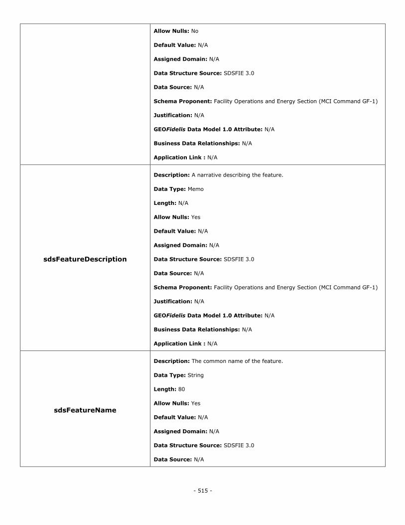
- 515 -
Allow Nulls: No
Default Value: N/A
Assigned Domain: N/A
Data Structure Source: SDSFIE 3.0
Data Source: N/A
Schema Proponent: Facility Operations and Energy Section (MCI Command GF-1)
Justification: N/A
GEOFidelis Data Model 1.0 Attribute: N/A
Business Data Relationships: N/A
Application Link : N/A
sdsFeatureDescription
Description: A narrative describing the feature.
Data Type: Memo
Length: N/A
Allow Nulls: Yes
Default Value: N/A
Assigned Domain: N/A
Data Structure Source: SDSFIE 3.0
Data Source: N/A
Schema Proponent: Facility Operations and Energy Section (MCI Command GF-1)
Justification: N/A
GEOFidelis Data Model 1.0 Attribute: N/A
Business Data Relationships: N/A
Application Link : N/A
sdsFeatureName
Description: The common name of the feature.
Data Type: String
Length: 80
Allow Nulls: Yes
Default Value: N/A
Assigned Domain: N/A
Data Structure Source: SDSFIE 3.0
Data Source: N/A
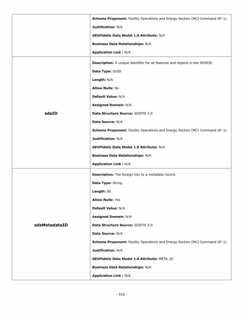
- 516 -
Schema Proponent: Facility Operations and Energy Section (MCI Command GF-1)
Justification: N/A
GEOFidelis Data Model 1.0 Attribute: N/A
Business Data Relationships: N/A
Application Link : N/A
sdsID
Description: A unique identifier for all features and objects in the SDSFIE.
Data Type: GUID
Length: N/A
Allow Nulls: No
Default Value: N/A
Assigned Domain: N/A
Data Structure Source: SDSFIE 3.0
Data Source: N/A
Schema Proponent: Facility Operations and Energy Section (MCI Command GF-1)
Justification: N/A
GEOFidelis Data Model 1.0 Attribute: N/A
Business Data Relationships: N/A
Application Link : N/A
sdsMetadataID
Description: The foreign key to a metadata record.
Data Type: String
Length: 80
Allow Nulls: Yes
Default Value: N/A
Assigned Domain: N/A
Data Structure Source: SDSFIE 3.0
Data Source: N/A
Schema Proponent: Facility Operations and Energy Section (MCI Command GF-1)
Justification: N/A
GEOFidelis Data Model 1.0 Attribute: META_ID
Business Data Relationships: N/A
Application Link : N/A
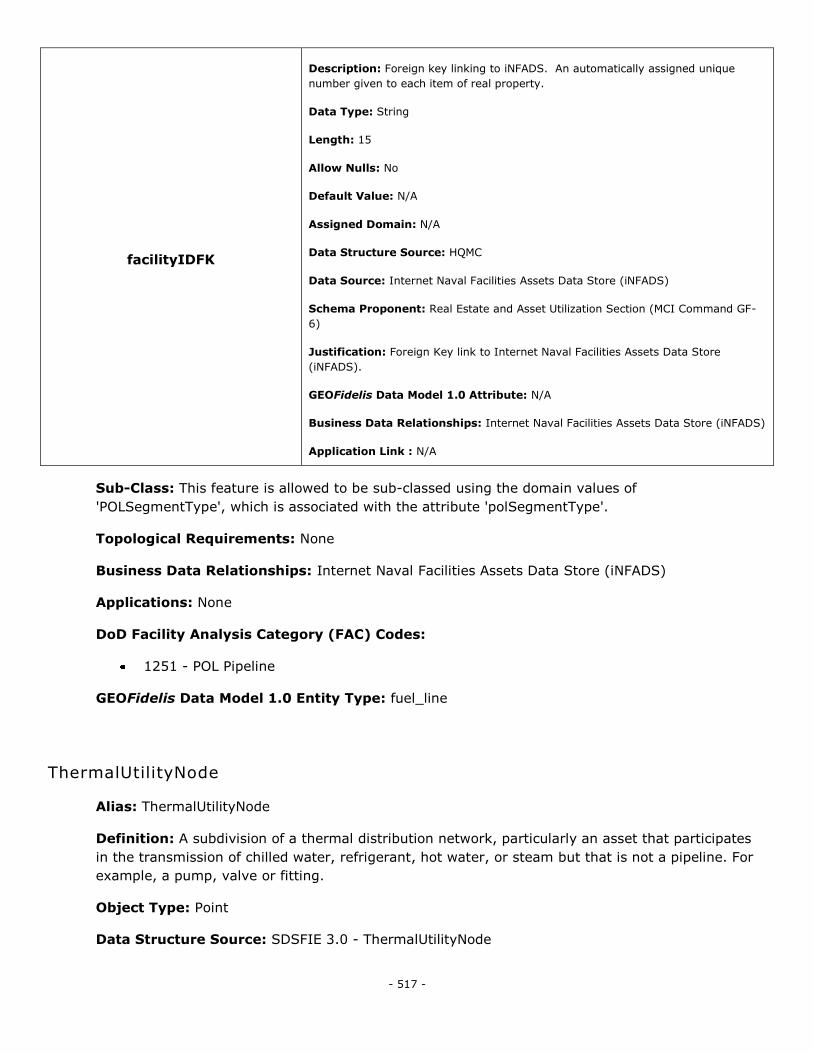
- 517 -
facilityIDFK
Description: Foreign key linking to iNFADS. An automatically assigned unique
number given to each item of real property.
Data Type: String
Length: 15
Allow Nulls: No
Default Value: N/A
Assigned Domain: N/A
Data Structure Source: HQMC
Data Source: Internet Naval Facilities Assets Data Store (iNFADS)
Schema Proponent: Real Estate and Asset Utilization Section (MCI Command GF-
6)
Justification: Foreign Key link to Internet Naval Facilities Assets Data Store
(iNFADS).
GEOFidelis Data Model 1.0 Attribute: N/A
Business Data Relationships: Internet Naval Facilities Assets Data Store (iNFADS)
Application Link : N/A
Sub-Class: This feature is allowed to be sub-classed using the domain values of
'POLSegmentType', which is associated with the attribute 'polSegmentType'.
Topological Requirements: None
Business Data Relationships: Internet Naval Facilities Assets Data Store (iNFADS)
Applications: None
DoD Facility Analysis Category (FAC) Codes:
1251 - POL Pipeline
GEOFidelis Data Model 1.0 Entity Type: fuel_line
ThermalUtilityNode
Alias: ThermalUtilityNode
Definition: A subdivision of a thermal distribution network, particularly an asset that participates
in the transmission of chilled water, refrigerant, hot water, or steam but that is not a pipeline. For
example, a pump, valve or fitting.
Object Type: Point
Data Structure Source: SDSFIE 3.0 - ThermalUtilityNode
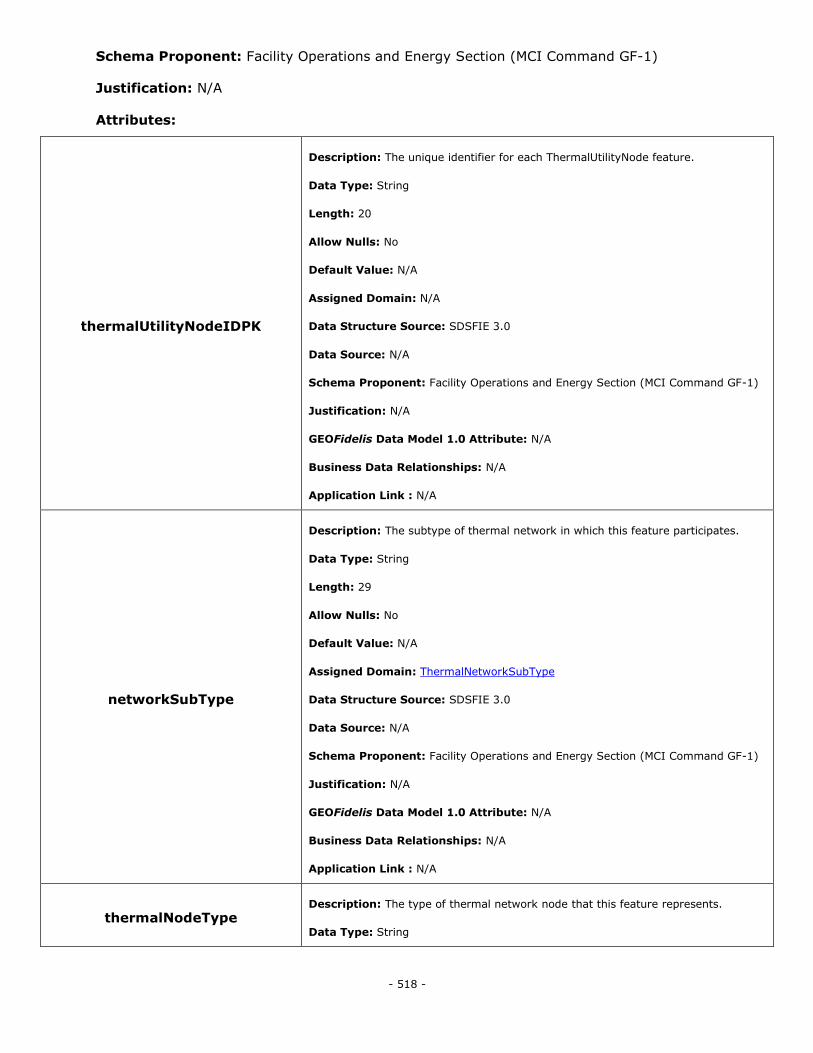
- 518 -
Schema Proponent: Facility Operations and Energy Section (MCI Command GF-1)
Justification: N/A
Attributes:
thermalUtilityNodeIDPK
Description: The unique identifier for each ThermalUtilityNode feature.
Data Type: String
Length: 20
Allow Nulls: No
Default Value: N/A
Assigned Domain: N/A
Data Structure Source: SDSFIE 3.0
Data Source: N/A
Schema Proponent: Facility Operations and Energy Section (MCI Command GF-1)
Justification: N/A
GEOFidelis Data Model 1.0 Attribute: N/A
Business Data Relationships: N/A
Application Link : N/A
networkSubType
Description: The subtype of thermal network in which this feature participates.
Data Type: String
Length: 29
Allow Nulls: No
Default Value: N/A
Assigned Domain: ThermalNetworkSubType
Data Structure Source: SDSFIE 3.0
Data Source: N/A
Schema Proponent: Facility Operations and Energy Section (MCI Command GF-1)
Justification: N/A
GEOFidelis Data Model 1.0 Attribute: N/A
Business Data Relationships: N/A
Application Link : N/A
thermalNodeType Description: The type of thermal network node that this feature represents.
Data Type: String
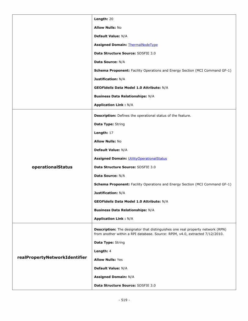
- 519 -
Length: 20
Allow Nulls: No
Default Value: N/A
Assigned Domain: ThermalNodeType
Data Structure Source: SDSFIE 3.0
Data Source: N/A
Schema Proponent: Facility Operations and Energy Section (MCI Command GF-1)
Justification: N/A
GEOFidelis Data Model 1.0 Attribute: N/A
Business Data Relationships: N/A
Application Link : N/A
operationalStatus
Description: Defines the operational status of the feature.
Data Type: String
Length: 17
Allow Nulls: No
Default Value: N/A
Assigned Domain: UtilityOperationalStatus
Data Structure Source: SDSFIE 3.0
Data Source: N/A
Schema Proponent: Facility Operations and Energy Section (MCI Command GF-1)
Justification: N/A
GEOFidelis Data Model 1.0 Attribute: N/A
Business Data Relationships: N/A
Application Link : N/A
realPropertyNetworkIdentifier
Description: The designator that distinguishes one real property network (RPN)
from another within a RPI database. Source: RPIM, v4.0, extracted 7/12/2010.
Data Type: String
Length: 4
Allow Nulls: Yes
Default Value: N/A
Assigned Domain: N/A
Data Structure Source: SDSFIE 3.0
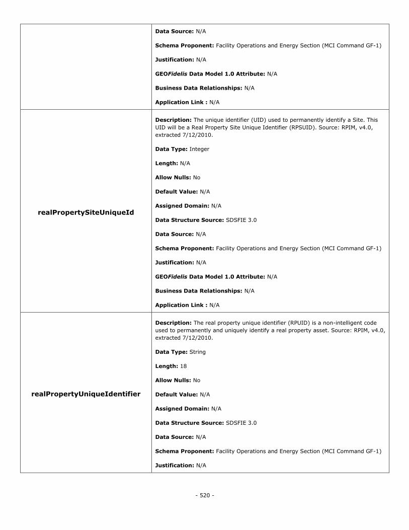
- 520 -
Data Source: N/A
Schema Proponent: Facility Operations and Energy Section (MCI Command GF-1)
Justification: N/A
GEOFidelis Data Model 1.0 Attribute: N/A
Business Data Relationships: N/A
Application Link : N/A
realPropertySiteUniqueId
Description: The unique identifier (UID) used to permanently identify a Site. This
UID will be a Real Property Site Unique Identifier (RPSUID). Source: RPIM, v4.0,
extracted 7/12/2010.
Data Type: Integer
Length: N/A
Allow Nulls: No
Default Value: N/A
Assigned Domain: N/A
Data Structure Source: SDSFIE 3.0
Data Source: N/A
Schema Proponent: Facility Operations and Energy Section (MCI Command GF-1)
Justification: N/A
GEOFidelis Data Model 1.0 Attribute: N/A
Business Data Relationships: N/A
Application Link : N/A
realPropertyUniqueIdentifier
Description: The real property unique identifier (RPUID) is a non-intelligent code
used to permanently and uniquely identify a real property asset. Source: RPIM, v4.0,
extracted 7/12/2010.
Data Type: String
Length: 18
Allow Nulls: No
Default Value: N/A
Assigned Domain: N/A
Data Structure Source: SDSFIE 3.0
Data Source: N/A
Schema Proponent: Facility Operations and Energy Section (MCI Command GF-1)
Justification: N/A
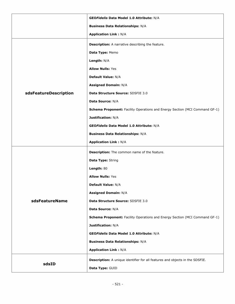
- 521 -
GEOFidelis Data Model 1.0 Attribute: N/A
Business Data Relationships: N/A
Application Link : N/A
sdsFeatureDescription
Description: A narrative describing the feature.
Data Type: Memo
Length: N/A
Allow Nulls: Yes
Default Value: N/A
Assigned Domain: N/A
Data Structure Source: SDSFIE 3.0
Data Source: N/A
Schema Proponent: Facility Operations and Energy Section (MCI Command GF-1)
Justification: N/A
GEOFidelis Data Model 1.0 Attribute: N/A
Business Data Relationships: N/A
Application Link : N/A
sdsFeatureName
Description: The common name of the feature.
Data Type: String
Length: 80
Allow Nulls: Yes
Default Value: N/A
Assigned Domain: N/A
Data Structure Source: SDSFIE 3.0
Data Source: N/A
Schema Proponent: Facility Operations and Energy Section (MCI Command GF-1)
Justification: N/A
GEOFidelis Data Model 1.0 Attribute: N/A
Business Data Relationships: N/A
Application Link : N/A
sdsID Description: A unique identifier for all features and objects in the SDSFIE.
Data Type: GUID
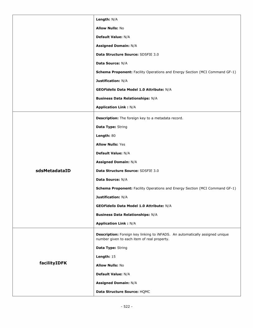
- 522 -
Length: N/A
Allow Nulls: No
Default Value: N/A
Assigned Domain: N/A
Data Structure Source: SDSFIE 3.0
Data Source: N/A
Schema Proponent: Facility Operations and Energy Section (MCI Command GF-1)
Justification: N/A
GEOFidelis Data Model 1.0 Attribute: N/A
Business Data Relationships: N/A
Application Link : N/A
sdsMetadataID
Description: The foreign key to a metadata record.
Data Type: String
Length: 80
Allow Nulls: Yes
Default Value: N/A
Assigned Domain: N/A
Data Structure Source: SDSFIE 3.0
Data Source: N/A
Schema Proponent: Facility Operations and Energy Section (MCI Command GF-1)
Justification: N/A
GEOFidelis Data Model 1.0 Attribute: N/A
Business Data Relationships: N/A
Application Link : N/A
facilityIDFK
Description: Foreign key linking to iNFADS. An automatically assigned unique
number given to each item of real property.
Data Type: String
Length: 15
Allow Nulls: No
Default Value: N/A
Assigned Domain: N/A
Data Structure Source: HQMC
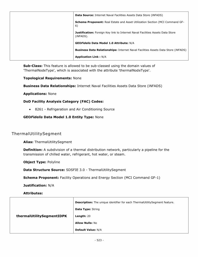
- 523 -
Data Source: Internet Naval Facilities Assets Data Store (iNFADS)
Schema Proponent: Real Estate and Asset Utilization Section (MCI Command GF-
6)
Justification: Foreign Key link to Internet Naval Facilities Assets Data Store
(iNFADS).
GEOFidelis Data Model 1.0 Attribute: N/A
Business Data Relationships: Internet Naval Facilities Assets Data Store (iNFADS)
Application Link : N/A
Sub-Class: This feature is allowed to be sub-classed using the domain values of
'ThermalNodeType', which is associated with the attribute 'thermalNodeType'.
Topological Requirements: None
Business Data Relationships: Internet Naval Facilities Assets Data Store (iNFADS)
Applications: None
DoD Facility Analysis Category (FAC) Codes:
8261 - Refrigeration and Air Conditioning Source
GEOFidelis Data Model 1.0 Entity Type: None
ThermalUtilitySegment
Alias: ThermalUtilitySegment
Definition: A subdivision of a thermal distribution network, particularly a pipeline for the
transmission of chilled water, refrigerant, hot water, or steam.
Object Type: Polyline
Data Structure Source: SDSFIE 3.0 - ThermalUtilitySegment
Schema Proponent: Facility Operations and Energy Section (MCI Command GF-1)
Justification: N/A
Attributes:
thermalUtilitySegmentIDPK
Description: The unique identifier for each ThermalUtilitySegment feature.
Data Type: String
Length: 20
Allow Nulls: No
Default Value: N/A
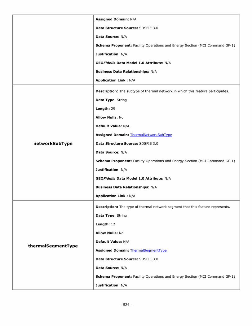
- 524 -
Assigned Domain: N/A
Data Structure Source: SDSFIE 3.0
Data Source: N/A
Schema Proponent: Facility Operations and Energy Section (MCI Command GF-1)
Justification: N/A
GEOFidelis Data Model 1.0 Attribute: N/A
Business Data Relationships: N/A
Application Link : N/A
networkSubType
Description: The subtype of thermal network in which this feature participates.
Data Type: String
Length: 29
Allow Nulls: No
Default Value: N/A
Assigned Domain: ThermalNetworkSubType
Data Structure Source: SDSFIE 3.0
Data Source: N/A
Schema Proponent: Facility Operations and Energy Section (MCI Command GF-1)
Justification: N/A
GEOFidelis Data Model 1.0 Attribute: N/A
Business Data Relationships: N/A
Application Link : N/A
thermalSegmentType
Description: The type of thermal network segment that this feature represents.
Data Type: String
Length: 12
Allow Nulls: No
Default Value: N/A
Assigned Domain: ThermalSegmentType
Data Structure Source: SDSFIE 3.0
Data Source: N/A
Schema Proponent: Facility Operations and Energy Section (MCI Command GF-1)
Justification: N/A
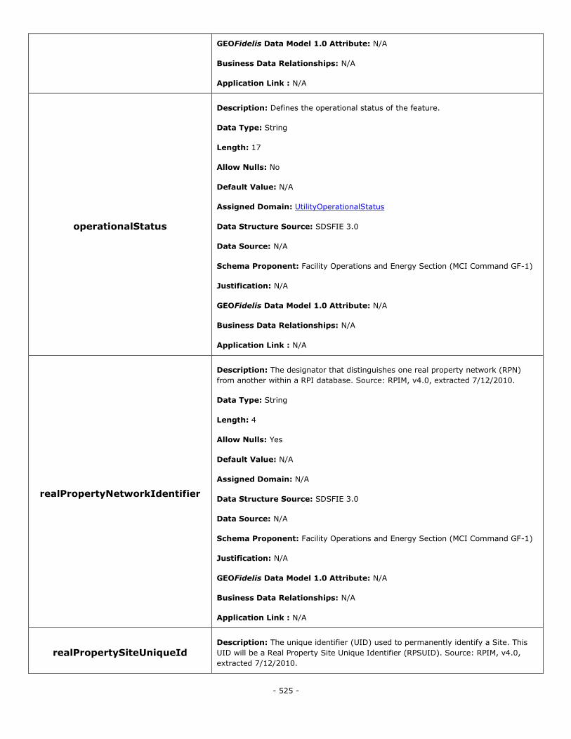
- 525 -
GEOFidelis Data Model 1.0 Attribute: N/A
Business Data Relationships: N/A
Application Link : N/A
operationalStatus
Description: Defines the operational status of the feature.
Data Type: String
Length: 17
Allow Nulls: No
Default Value: N/A
Assigned Domain: UtilityOperationalStatus
Data Structure Source: SDSFIE 3.0
Data Source: N/A
Schema Proponent: Facility Operations and Energy Section (MCI Command GF-1)
Justification: N/A
GEOFidelis Data Model 1.0 Attribute: N/A
Business Data Relationships: N/A
Application Link : N/A
realPropertyNetworkIdentifier
Description: The designator that distinguishes one real property network (RPN)
from another within a RPI database. Source: RPIM, v4.0, extracted 7/12/2010.
Data Type: String
Length: 4
Allow Nulls: Yes
Default Value: N/A
Assigned Domain: N/A
Data Structure Source: SDSFIE 3.0
Data Source: N/A
Schema Proponent: Facility Operations and Energy Section (MCI Command GF-1)
Justification: N/A
GEOFidelis Data Model 1.0 Attribute: N/A
Business Data Relationships: N/A
Application Link : N/A
realPropertySiteUniqueId Description: The unique identifier (UID) used to permanently identify a Site. This
UID will be a Real Property Site Unique Identifier (RPSUID). Source: RPIM, v4.0,
extracted 7/12/2010.
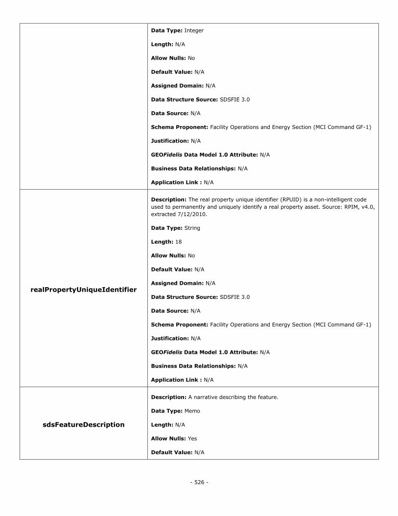
- 526 -
Data Type: Integer
Length: N/A
Allow Nulls: No
Default Value: N/A
Assigned Domain: N/A
Data Structure Source: SDSFIE 3.0
Data Source: N/A
Schema Proponent: Facility Operations and Energy Section (MCI Command GF-1)
Justification: N/A
GEOFidelis Data Model 1.0 Attribute: N/A
Business Data Relationships: N/A
Application Link : N/A
realPropertyUniqueIdentifier
Description: The real property unique identifier (RPUID) is a non-intelligent code
used to permanently and uniquely identify a real property asset. Source: RPIM, v4.0,
extracted 7/12/2010.
Data Type: String
Length: 18
Allow Nulls: No
Default Value: N/A
Assigned Domain: N/A
Data Structure Source: SDSFIE 3.0
Data Source: N/A
Schema Proponent: Facility Operations and Energy Section (MCI Command GF-1)
Justification: N/A
GEOFidelis Data Model 1.0 Attribute: N/A
Business Data Relationships: N/A
Application Link : N/A
sdsFeatureDescription
Description: A narrative describing the feature.
Data Type: Memo
Length: N/A
Allow Nulls: Yes
Default Value: N/A
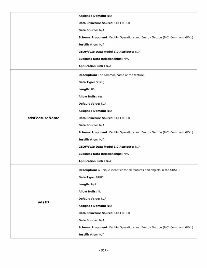
- 527 -
Assigned Domain: N/A
Data Structure Source: SDSFIE 3.0
Data Source: N/A
Schema Proponent: Facility Operations and Energy Section (MCI Command GF-1)
Justification: N/A
GEOFidelis Data Model 1.0 Attribute: N/A
Business Data Relationships: N/A
Application Link : N/A
sdsFeatureName
Description: The common name of the feature.
Data Type: String
Length: 80
Allow Nulls: Yes
Default Value: N/A
Assigned Domain: N/A
Data Structure Source: SDSFIE 3.0
Data Source: N/A
Schema Proponent: Facility Operations and Energy Section (MCI Command GF-1)
Justification: N/A
GEOFidelis Data Model 1.0 Attribute: N/A
Business Data Relationships: N/A
Application Link : N/A
sdsID
Description: A unique identifier for all features and objects in the SDSFIE.
Data Type: GUID
Length: N/A
Allow Nulls: No
Default Value: N/A
Assigned Domain: N/A
Data Structure Source: SDSFIE 3.0
Data Source: N/A
Schema Proponent: Facility Operations and Energy Section (MCI Command GF-1)
Justification: N/A
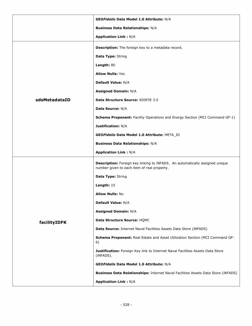
- 528 -
GEOFidelis Data Model 1.0 Attribute: N/A
Business Data Relationships: N/A
Application Link : N/A
sdsMetadataID
Description: The foreign key to a metadata record.
Data Type: String
Length: 80
Allow Nulls: Yes
Default Value: N/A
Assigned Domain: N/A
Data Structure Source: SDSFIE 3.0
Data Source: N/A
Schema Proponent: Facility Operations and Energy Section (MCI Command GF-1)
Justification: N/A
GEOFidelis Data Model 1.0 Attribute: META_ID
Business Data Relationships: N/A
Application Link : N/A
facilityIDFK
Description: Foreign key linking to iNFADS. An automatically assigned unique
number given to each item of real property.
Data Type: String
Length: 15
Allow Nulls: No
Default Value: N/A
Assigned Domain: N/A
Data Structure Source: HQMC
Data Source: Internet Naval Facilities Assets Data Store (iNFADS)
Schema Proponent: Real Estate and Asset Utilization Section (MCI Command GF-
6)
Justification: Foreign Key link to Internet Naval Facilities Assets Data Store
(iNFADS).
GEOFidelis Data Model 1.0 Attribute: N/A
Business Data Relationships: Internet Naval Facilities Assets Data Store (iNFADS)
Application Link : N/A
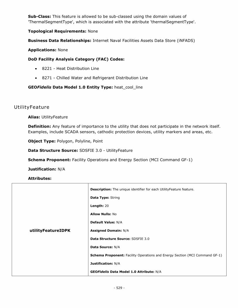
- 529 -
Sub-Class: This feature is allowed to be sub-classed using the domain values of
'ThermalSegmentType', which is associated with the attribute 'thermalSegmentType'.
Topological Requirements: None
Business Data Relationships: Internet Naval Facilities Assets Data Store (iNFADS)
Applications: None
DoD Facility Analysis Category (FAC) Codes:
8221 - Heat Distribution Line
8271 - Chilled Water and Refrigerant Distribution Line
GEOFidelis Data Model 1.0 Entity Type: heat_cool_line
UtilityFeature
Alias: UtilityFeature
Definition: Any feature of importance to the utility that does not participate in the network itself.
Examples, include SCADA sensors, cathodic protection devices, utility markers and areas, etc.
Object Type: Polygon, Polyline, Point
Data Structure Source: SDSFIE 3.0 - UtilityFeature
Schema Proponent: Facility Operations and Energy Section (MCI Command GF-1)
Justification: N/A
Attributes:
utilityFeatureIDPK
Description: The unique identifier for each UtilityFeature feature.
Data Type: String
Length: 20
Allow Nulls: No
Default Value: N/A
Assigned Domain: N/A
Data Structure Source: SDSFIE 3.0
Data Source: N/A
Schema Proponent: Facility Operations and Energy Section (MCI Command GF-1)
Justification: N/A
GEOFidelis Data Model 1.0 Attribute: N/A
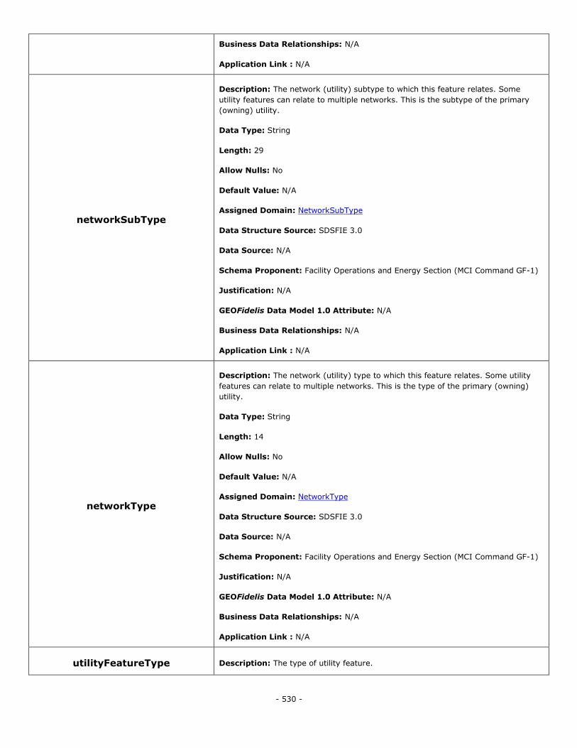
- 530 -
Business Data Relationships: N/A
Application Link : N/A
networkSubType
Description: The network (utility) subtype to which this feature relates. Some
utility features can relate to multiple networks. This is the subtype of the primary
(owning) utility.
Data Type: String
Length: 29
Allow Nulls: No
Default Value: N/A
Assigned Domain: NetworkSubType
Data Structure Source: SDSFIE 3.0
Data Source: N/A
Schema Proponent: Facility Operations and Energy Section (MCI Command GF-1)
Justification: N/A
GEOFidelis Data Model 1.0 Attribute: N/A
Business Data Relationships: N/A
Application Link : N/A
networkType
Description: The network (utility) type to which this feature relates. Some utility
features can relate to multiple networks. This is the type of the primary (owning)
utility.
Data Type: String
Length: 14
Allow Nulls: No
Default Value: N/A
Assigned Domain: NetworkType
Data Structure Source: SDSFIE 3.0
Data Source: N/A
Schema Proponent: Facility Operations and Energy Section (MCI Command GF-1)
Justification: N/A
GEOFidelis Data Model 1.0 Attribute: N/A
Business Data Relationships: N/A
Application Link : N/A
utilityFeatureType Description: The type of utility feature.

- 531 -
Data Type: String
Length: 27
Allow Nulls: No
Default Value: N/A
Assigned Domain: UtilityFeatureType
Data Structure Source: SDSFIE 3.0
Data Source: N/A
Schema Proponent: Facility Operations and Energy Section (MCI Command GF-1)
Justification: N/A
GEOFidelis Data Model 1.0 Attribute: N/A
Business Data Relationships: N/A
Application Link : N/A
operationalStatus
Description: Defines the operational status of the feature.
Data Type: String
Length: 17
Allow Nulls: No
Default Value: N/A
Assigned Domain: UtilityOperationalStatus
Data Structure Source: SDSFIE 3.0
Data Source: N/A
Schema Proponent: Facility Operations and Energy Section (MCI Command GF-1)
Justification: N/A
GEOFidelis Data Model 1.0 Attribute: N/A
Business Data Relationships: N/A
Application Link : N/A
realPropertyNetworkIdentifier
Description: The designator that distinguishes one real property network (RPN)
from another within a RPI database. Source: RPIM, v4.0, extracted 7/12/2010.
Data Type: String
Length: 4
Allow Nulls: Yes
Default Value: N/A
Assigned Domain: N/A
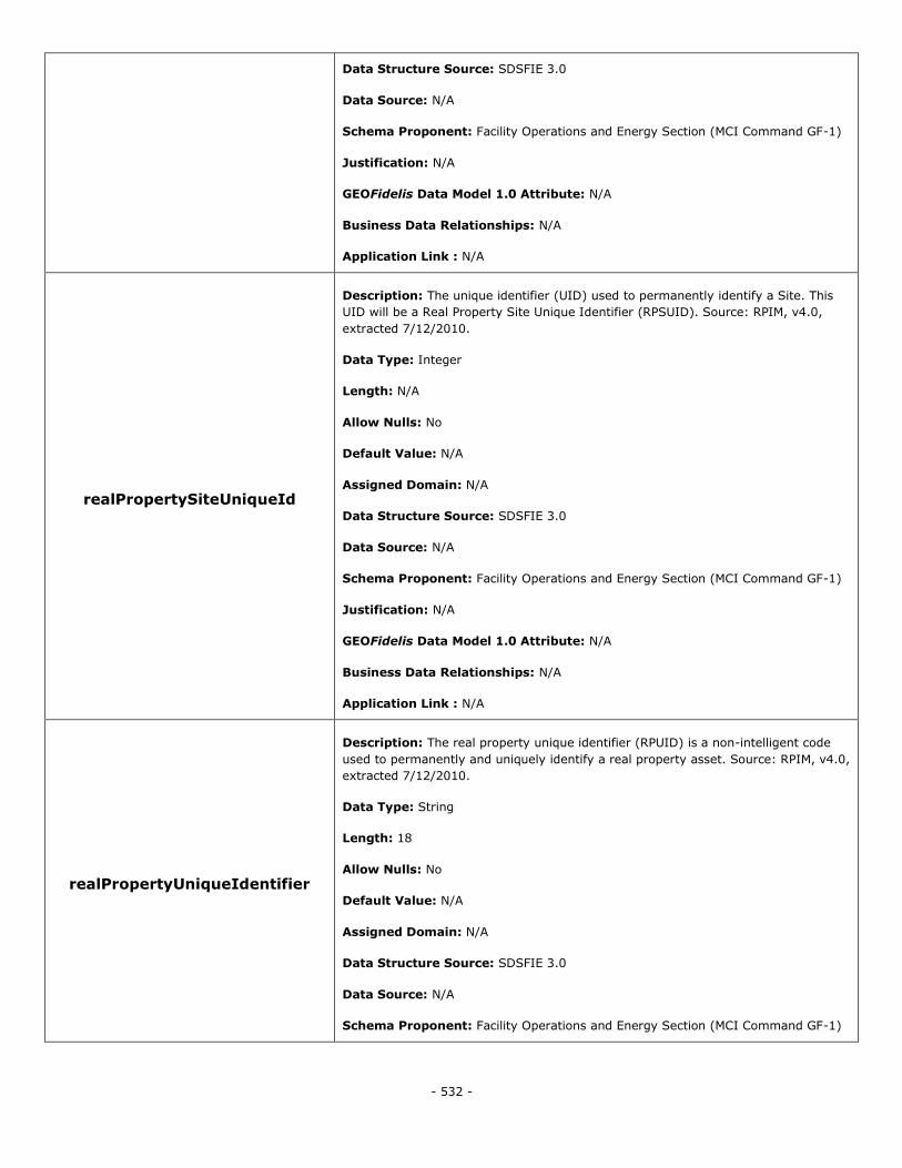
- 532 -
Data Structure Source: SDSFIE 3.0
Data Source: N/A
Schema Proponent: Facility Operations and Energy Section (MCI Command GF-1)
Justification: N/A
GEOFidelis Data Model 1.0 Attribute: N/A
Business Data Relationships: N/A
Application Link : N/A
realPropertySiteUniqueId
Description: The unique identifier (UID) used to permanently identify a Site. This
UID will be a Real Property Site Unique Identifier (RPSUID). Source: RPIM, v4.0,
extracted 7/12/2010.
Data Type: Integer
Length: N/A
Allow Nulls: No
Default Value: N/A
Assigned Domain: N/A
Data Structure Source: SDSFIE 3.0
Data Source: N/A
Schema Proponent: Facility Operations and Energy Section (MCI Command GF-1)
Justification: N/A
GEOFidelis Data Model 1.0 Attribute: N/A
Business Data Relationships: N/A
Application Link : N/A
realPropertyUniqueIdentifier
Description: The real property unique identifier (RPUID) is a non-intelligent code
used to permanently and uniquely identify a real property asset. Source: RPIM, v4.0,
extracted 7/12/2010.
Data Type: String
Length: 18
Allow Nulls: No
Default Value: N/A
Assigned Domain: N/A
Data Structure Source: SDSFIE 3.0
Data Source: N/A
Schema Proponent: Facility Operations and Energy Section (MCI Command GF-1)
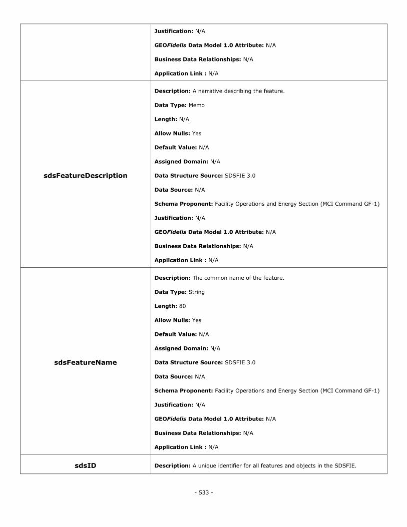
- 533 -
Justification: N/A
GEOFidelis Data Model 1.0 Attribute: N/A
Business Data Relationships: N/A
Application Link : N/A
sdsFeatureDescription
Description: A narrative describing the feature.
Data Type: Memo
Length: N/A
Allow Nulls: Yes
Default Value: N/A
Assigned Domain: N/A
Data Structure Source: SDSFIE 3.0
Data Source: N/A
Schema Proponent: Facility Operations and Energy Section (MCI Command GF-1)
Justification: N/A
GEOFidelis Data Model 1.0 Attribute: N/A
Business Data Relationships: N/A
Application Link : N/A
sdsFeatureName
Description: The common name of the feature.
Data Type: String
Length: 80
Allow Nulls: Yes
Default Value: N/A
Assigned Domain: N/A
Data Structure Source: SDSFIE 3.0
Data Source: N/A
Schema Proponent: Facility Operations and Energy Section (MCI Command GF-1)
Justification: N/A
GEOFidelis Data Model 1.0 Attribute: N/A
Business Data Relationships: N/A
Application Link : N/A
sdsID Description: A unique identifier for all features and objects in the SDSFIE.

- 534 -
Data Type: GUID
Length: N/A
Allow Nulls: No
Default Value: N/A
Assigned Domain: N/A
Data Structure Source: SDSFIE 3.0
Data Source: N/A
Schema Proponent: Facility Operations and Energy Section (MCI Command GF-1)
Justification: N/A
GEOFidelis Data Model 1.0 Attribute: N/A
Business Data Relationships: N/A
Application Link : N/A
sdsMetadataID
Description: The foreign key to a metadata record.
Data Type: String
Length: 80
Allow Nulls: Yes
Default Value: N/A
Assigned Domain: N/A
Data Structure Source: SDSFIE 3.0
Data Source: N/A
Schema Proponent: Facility Operations and Energy Section (MCI Command GF-1)
Justification: N/A
GEOFidelis Data Model 1.0 Attribute: META_ID
Business Data Relationships: N/A
Application Link : N/A
facilityIDFK
Description: Foreign key linking to iNFADS. An automatically assigned unique
number given to each item of real property.
Data Type: String
Length: 15
Allow Nulls: No
Default Value: N/A
Assigned Domain: N/A
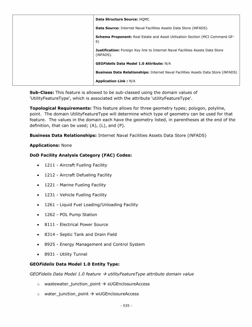
- 535 -
Data Structure Source: HQMC
Data Source: Internet Naval Facilities Assets Data Store (iNFADS)
Schema Proponent: Real Estate and Asset Utilization Section (MCI Command GF-
6)
Justification: Foreign Key link to Internet Naval Facilities Assets Data Store
(iNFADS).
GEOFidelis Data Model 1.0 Attribute: N/A
Business Data Relationships: Internet Naval Facilities Assets Data Store (iNFADS)
Application Link : N/A
Sub-Class: This feature is allowed to be sub-classed using the domain values of
'UtilityFeatureType', which is associated with the attribute 'utilityFeatureType'.
Topological Requirements: This feature allows for three geometry types; polygon, polyline,
point. The domain UtilityFeatureType will determine which type of geometry can be used for that
feature. The values in the domain each have the geometry listed, in parentheses at the end of the
definition, that can be used; (A), (L), and (P).
Business Data Relationships: Internet Naval Facilities Assets Data Store (iNFADS)
Applications: None
DoD Facility Analysis Category (FAC) Codes:
1211 - Aircraft Fueling Facility
1212 - Aircraft Defueling Facility
1221 - Marine Fueling Facility
1231 - Vehicle Fueling Facility
1261 - Liquid Fuel Loading/Unloading Facility
1262 - POL Pump Station
8111 - Electrical Power Source
8314 - Septic Tank and Drain Field
8925 - Energy Management and Control System
8931 - Utility Tunnel
GEOFidelis Data Model 1.0 Entity Type:
GEOFidelis Data Model 1.0 feature utilityFeatureType attribute domain value
o wastewater_junction_point sUGEnclosureAccess
o water_junction_point wUGEnclosureAccess
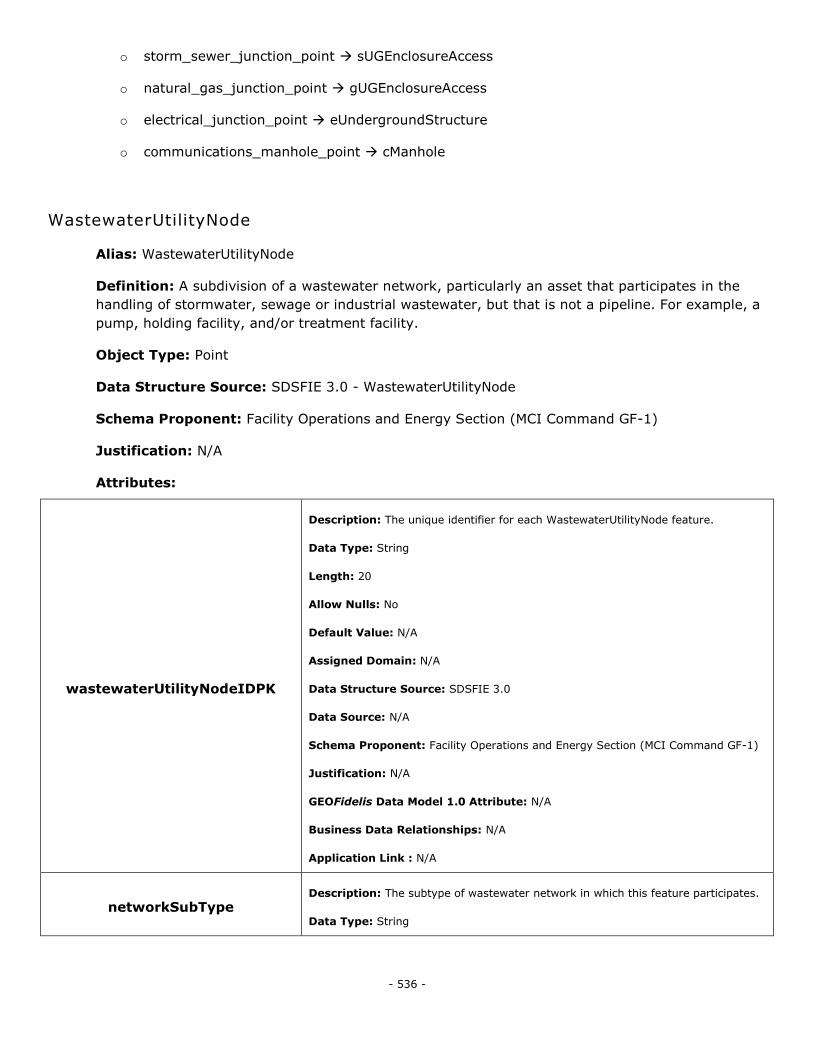
- 536 -
o storm_sewer_junction_point sUGEnclosureAccess
o natural_gas_junction_point gUGEnclosureAccess
o electrical_junction_point eUndergroundStructure
o communications_manhole_point cManhole
WastewaterUtilityNode
Alias: WastewaterUtilityNode
Definition: A subdivision of a wastewater network, particularly an asset that participates in the
handling of stormwater, sewage or industrial wastewater, but that is not a pipeline. For example, a
pump, holding facility, and/or treatment facility.
Object Type: Point
Data Structure Source: SDSFIE 3.0 - WastewaterUtilityNode
Schema Proponent: Facility Operations and Energy Section (MCI Command GF-1)
Justification: N/A
Attributes:
wastewaterUtilityNodeIDPK
Description: The unique identifier for each WastewaterUtilityNode feature.
Data Type: String
Length: 20
Allow Nulls: No
Default Value: N/A
Assigned Domain: N/A
Data Structure Source: SDSFIE 3.0
Data Source: N/A
Schema Proponent: Facility Operations and Energy Section (MCI Command GF-1)
Justification: N/A
GEOFidelis Data Model 1.0 Attribute: N/A
Business Data Relationships: N/A
Application Link : N/A
networkSubType Description: The subtype of wastewater network in which this feature participates.
Data Type: String
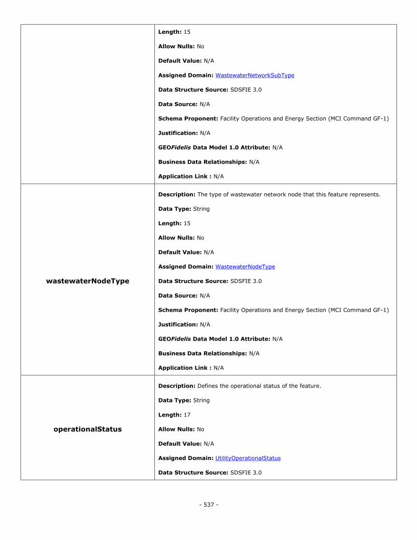
- 537 -
Length: 15
Allow Nulls: No
Default Value: N/A
Assigned Domain: WastewaterNetworkSubType
Data Structure Source: SDSFIE 3.0
Data Source: N/A
Schema Proponent: Facility Operations and Energy Section (MCI Command GF-1)
Justification: N/A
GEOFidelis Data Model 1.0 Attribute: N/A
Business Data Relationships: N/A
Application Link : N/A
wastewaterNodeType
Description: The type of wastewater network node that this feature represents.
Data Type: String
Length: 15
Allow Nulls: No
Default Value: N/A
Assigned Domain: WastewaterNodeType
Data Structure Source: SDSFIE 3.0
Data Source: N/A
Schema Proponent: Facility Operations and Energy Section (MCI Command GF-1)
Justification: N/A
GEOFidelis Data Model 1.0 Attribute: N/A
Business Data Relationships: N/A
Application Link : N/A
operationalStatus
Description: Defines the operational status of the feature.
Data Type: String
Length: 17
Allow Nulls: No
Default Value: N/A
Assigned Domain: UtilityOperationalStatus
Data Structure Source: SDSFIE 3.0
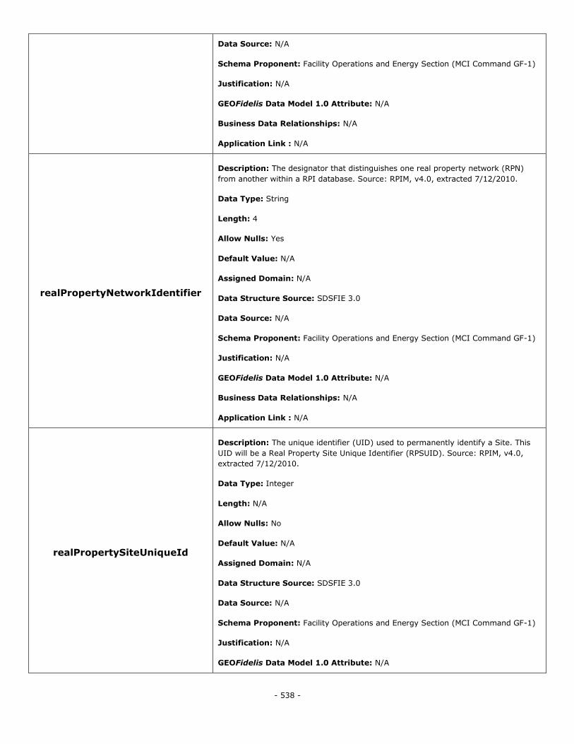
- 538 -
Data Source: N/A
Schema Proponent: Facility Operations and Energy Section (MCI Command GF-1)
Justification: N/A
GEOFidelis Data Model 1.0 Attribute: N/A
Business Data Relationships: N/A
Application Link : N/A
realPropertyNetworkIdentifier
Description: The designator that distinguishes one real property network (RPN)
from another within a RPI database. Source: RPIM, v4.0, extracted 7/12/2010.
Data Type: String
Length: 4
Allow Nulls: Yes
Default Value: N/A
Assigned Domain: N/A
Data Structure Source: SDSFIE 3.0
Data Source: N/A
Schema Proponent: Facility Operations and Energy Section (MCI Command GF-1)
Justification: N/A
GEOFidelis Data Model 1.0 Attribute: N/A
Business Data Relationships: N/A
Application Link : N/A
realPropertySiteUniqueId
Description: The unique identifier (UID) used to permanently identify a Site. This
UID will be a Real Property Site Unique Identifier (RPSUID). Source: RPIM, v4.0,
extracted 7/12/2010.
Data Type: Integer
Length: N/A
Allow Nulls: No
Default Value: N/A
Assigned Domain: N/A
Data Structure Source: SDSFIE 3.0
Data Source: N/A
Schema Proponent: Facility Operations and Energy Section (MCI Command GF-1)
Justification: N/A
GEOFidelis Data Model 1.0 Attribute: N/A

- 539 -
Business Data Relationships: N/A
Application Link : N/A
realPropertyUniqueIdentifier
Description: The real property unique identifier (RPUID) is a non-intelligent code
used to permanently and uniquely identify a real property asset. Source: RPIM, v4.0,
extracted 7/12/2010.
Data Type: String
Length: 18
Allow Nulls: No
Default Value: N/A
Assigned Domain: N/A
Data Structure Source: SDSFIE 3.0
Data Source: N/A
Schema Proponent: Facility Operations and Energy Section (MCI Command GF-1)
Justification: N/A
GEOFidelis Data Model 1.0 Attribute: N/A
Business Data Relationships: N/A
Application Link : N/A
sdsFeatureDescription
Description: A narrative describing the feature.
Data Type: Memo
Length: N/A
Allow Nulls: Yes
Default Value: N/A
Assigned Domain: N/A
Data Structure Source: SDSFIE 3.0
Data Source: N/A
Schema Proponent: Facility Operations and Energy Section (MCI Command GF-1)
Justification: N/A
GEOFidelis Data Model 1.0 Attribute: N/A
Business Data Relationships: N/A
Application Link : N/A
sdsFeatureName Description: The common name of the feature.
Data Type: String
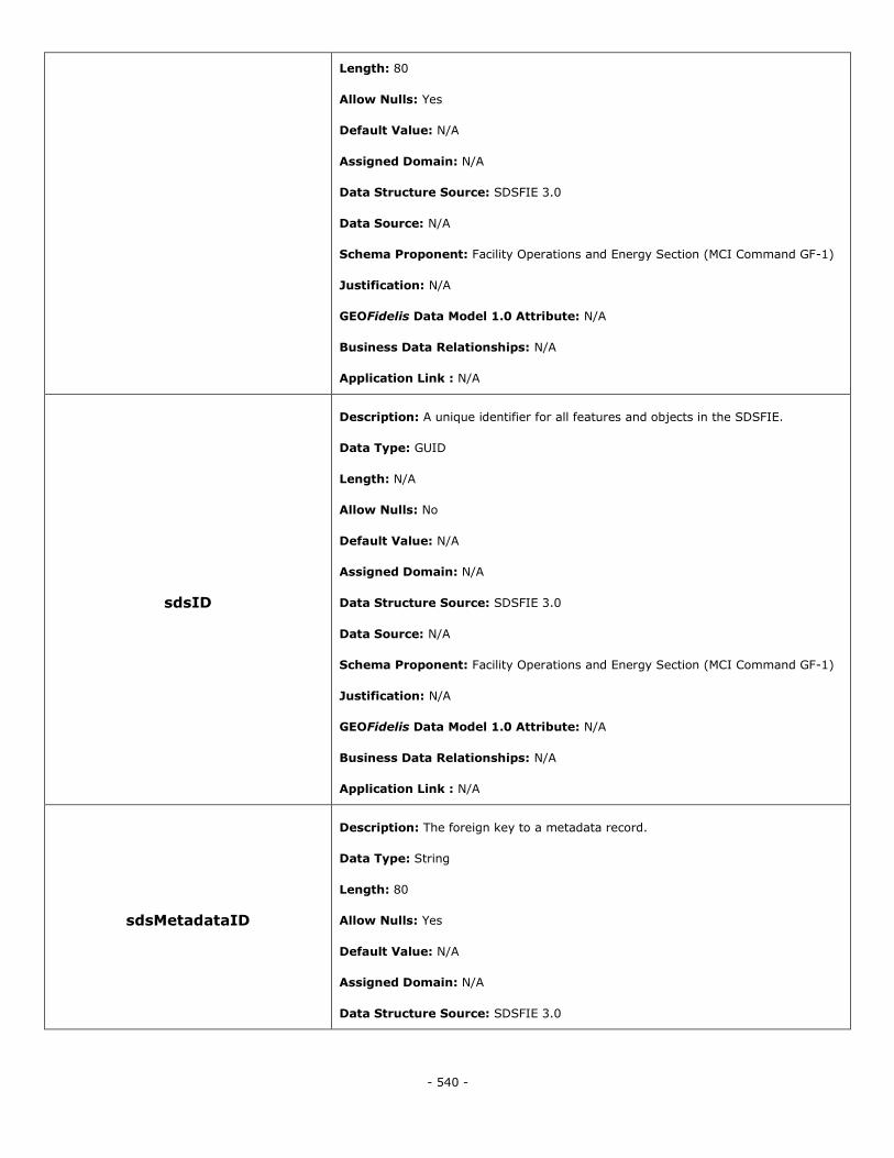
- 540 -
Length: 80
Allow Nulls: Yes
Default Value: N/A
Assigned Domain: N/A
Data Structure Source: SDSFIE 3.0
Data Source: N/A
Schema Proponent: Facility Operations and Energy Section (MCI Command GF-1)
Justification: N/A
GEOFidelis Data Model 1.0 Attribute: N/A
Business Data Relationships: N/A
Application Link : N/A
sdsID
Description: A unique identifier for all features and objects in the SDSFIE.
Data Type: GUID
Length: N/A
Allow Nulls: No
Default Value: N/A
Assigned Domain: N/A
Data Structure Source: SDSFIE 3.0
Data Source: N/A
Schema Proponent: Facility Operations and Energy Section (MCI Command GF-1)
Justification: N/A
GEOFidelis Data Model 1.0 Attribute: N/A
Business Data Relationships: N/A
Application Link : N/A
sdsMetadataID
Description: The foreign key to a metadata record.
Data Type: String
Length: 80
Allow Nulls: Yes
Default Value: N/A
Assigned Domain: N/A
Data Structure Source: SDSFIE 3.0
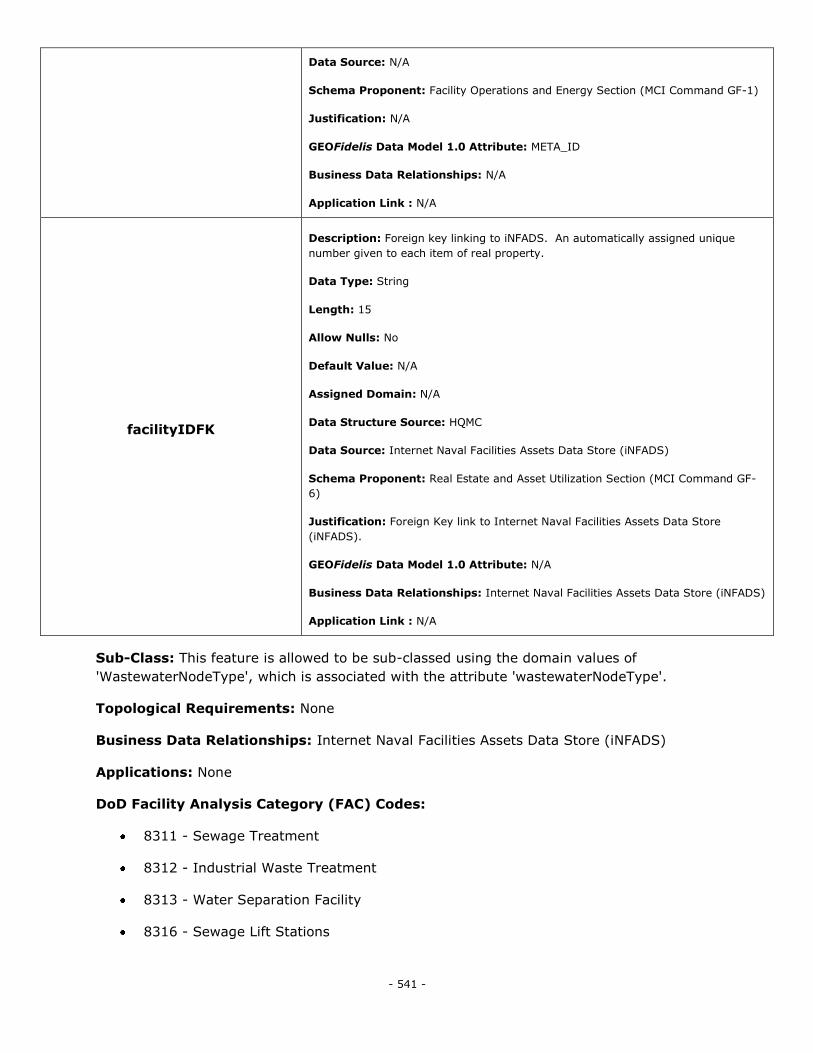
- 541 -
Data Source: N/A
Schema Proponent: Facility Operations and Energy Section (MCI Command GF-1)
Justification: N/A
GEOFidelis Data Model 1.0 Attribute: META_ID
Business Data Relationships: N/A
Application Link : N/A
facilityIDFK
Description: Foreign key linking to iNFADS. An automatically assigned unique
number given to each item of real property.
Data Type: String
Length: 15
Allow Nulls: No
Default Value: N/A
Assigned Domain: N/A
Data Structure Source: HQMC
Data Source: Internet Naval Facilities Assets Data Store (iNFADS)
Schema Proponent: Real Estate and Asset Utilization Section (MCI Command GF-
6)
Justification: Foreign Key link to Internet Naval Facilities Assets Data Store
(iNFADS).
GEOFidelis Data Model 1.0 Attribute: N/A
Business Data Relationships: Internet Naval Facilities Assets Data Store (iNFADS)
Application Link : N/A
Sub-Class: This feature is allowed to be sub-classed using the domain values of
'WastewaterNodeType', which is associated with the attribute 'wastewaterNodeType'.
Topological Requirements: None
Business Data Relationships: Internet Naval Facilities Assets Data Store (iNFADS)
Applications: None
DoD Facility Analysis Category (FAC) Codes:
8311 - Sewage Treatment
8312 - Industrial Waste Treatment
8313 - Water Separation Facility
8316 - Sewage Lift Stations
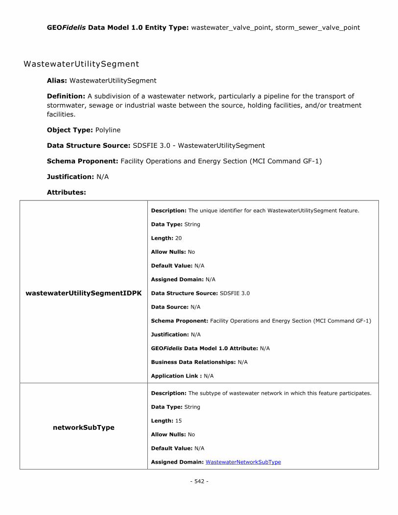
- 542 -
GEOFidelis Data Model 1.0 Entity Type: wastewater_valve_point, storm_sewer_valve_point
WastewaterUtilitySegment
Alias: WastewaterUtilitySegment
Definition: A subdivision of a wastewater network, particularly a pipeline for the transport of
stormwater, sewage or industrial waste between the source, holding facilities, and/or treatment
facilities.
Object Type: Polyline
Data Structure Source: SDSFIE 3.0 - WastewaterUtilitySegment
Schema Proponent: Facility Operations and Energy Section (MCI Command GF-1)
Justification: N/A
Attributes:
wastewaterUtilitySegmentIDPK
Description: The unique identifier for each WastewaterUtilitySegment feature.
Data Type: String
Length: 20
Allow Nulls: No
Default Value: N/A
Assigned Domain: N/A
Data Structure Source: SDSFIE 3.0
Data Source: N/A
Schema Proponent: Facility Operations and Energy Section (MCI Command GF-1)
Justification: N/A
GEOFidelis Data Model 1.0 Attribute: N/A
Business Data Relationships: N/A
Application Link : N/A
networkSubType
Description: The subtype of wastewater network in which this feature participates.
Data Type: String
Length: 15
Allow Nulls: No
Default Value: N/A
Assigned Domain: WastewaterNetworkSubType
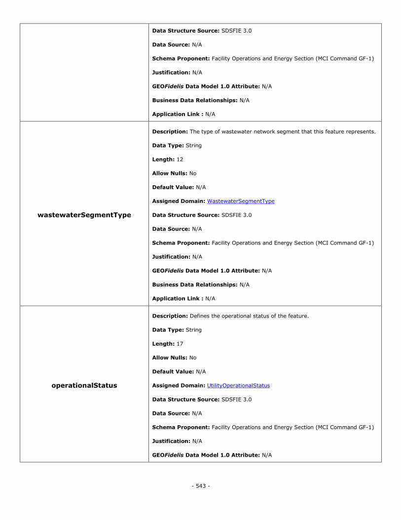
- 543 -
Data Structure Source: SDSFIE 3.0
Data Source: N/A
Schema Proponent: Facility Operations and Energy Section (MCI Command GF-1)
Justification: N/A
GEOFidelis Data Model 1.0 Attribute: N/A
Business Data Relationships: N/A
Application Link : N/A
wastewaterSegmentType
Description: The type of wastewater network segment that this feature represents.
Data Type: String
Length: 12
Allow Nulls: No
Default Value: N/A
Assigned Domain: WastewaterSegmentType
Data Structure Source: SDSFIE 3.0
Data Source: N/A
Schema Proponent: Facility Operations and Energy Section (MCI Command GF-1)
Justification: N/A
GEOFidelis Data Model 1.0 Attribute: N/A
Business Data Relationships: N/A
Application Link : N/A
operationalStatus
Description: Defines the operational status of the feature.
Data Type: String
Length: 17
Allow Nulls: No
Default Value: N/A
Assigned Domain: UtilityOperationalStatus
Data Structure Source: SDSFIE 3.0
Data Source: N/A
Schema Proponent: Facility Operations and Energy Section (MCI Command GF-1)
Justification: N/A
GEOFidelis Data Model 1.0 Attribute: N/A
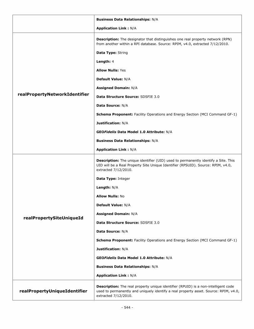
- 544 -
Business Data Relationships: N/A
Application Link : N/A
realPropertyNetworkIdentifier
Description: The designator that distinguishes one real property network (RPN)
from another within a RPI database. Source: RPIM, v4.0, extracted 7/12/2010.
Data Type: String
Length: 4
Allow Nulls: Yes
Default Value: N/A
Assigned Domain: N/A
Data Structure Source: SDSFIE 3.0
Data Source: N/A
Schema Proponent: Facility Operations and Energy Section (MCI Command GF-1)
Justification: N/A
GEOFidelis Data Model 1.0 Attribute: N/A
Business Data Relationships: N/A
Application Link : N/A
realPropertySiteUniqueId
Description: The unique identifier (UID) used to permanently identify a Site. This
UID will be a Real Property Site Unique Identifier (RPSUID). Source: RPIM, v4.0,
extracted 7/12/2010.
Data Type: Integer
Length: N/A
Allow Nulls: No
Default Value: N/A
Assigned Domain: N/A
Data Structure Source: SDSFIE 3.0
Data Source: N/A
Schema Proponent: Facility Operations and Energy Section (MCI Command GF-1)
Justification: N/A
GEOFidelis Data Model 1.0 Attribute: N/A
Business Data Relationships: N/A
Application Link : N/A
realPropertyUniqueIdentifier Description: The real property unique identifier (RPUID) is a non-intelligent code
used to permanently and uniquely identify a real property asset. Source: RPIM, v4.0,
extracted 7/12/2010.
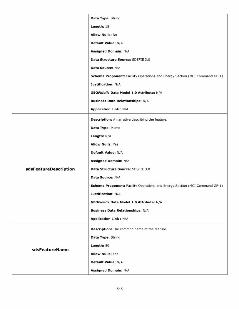
- 545 -
Data Type: String
Length: 18
Allow Nulls: No
Default Value: N/A
Assigned Domain: N/A
Data Structure Source: SDSFIE 3.0
Data Source: N/A
Schema Proponent: Facility Operations and Energy Section (MCI Command GF-1)
Justification: N/A
GEOFidelis Data Model 1.0 Attribute: N/A
Business Data Relationships: N/A
Application Link : N/A
sdsFeatureDescription
Description: A narrative describing the feature.
Data Type: Memo
Length: N/A
Allow Nulls: Yes
Default Value: N/A
Assigned Domain: N/A
Data Structure Source: SDSFIE 3.0
Data Source: N/A
Schema Proponent: Facility Operations and Energy Section (MCI Command GF-1)
Justification: N/A
GEOFidelis Data Model 1.0 Attribute: N/A
Business Data Relationships: N/A
Application Link : N/A
sdsFeatureName
Description: The common name of the feature.
Data Type: String
Length: 80
Allow Nulls: Yes
Default Value: N/A
Assigned Domain: N/A
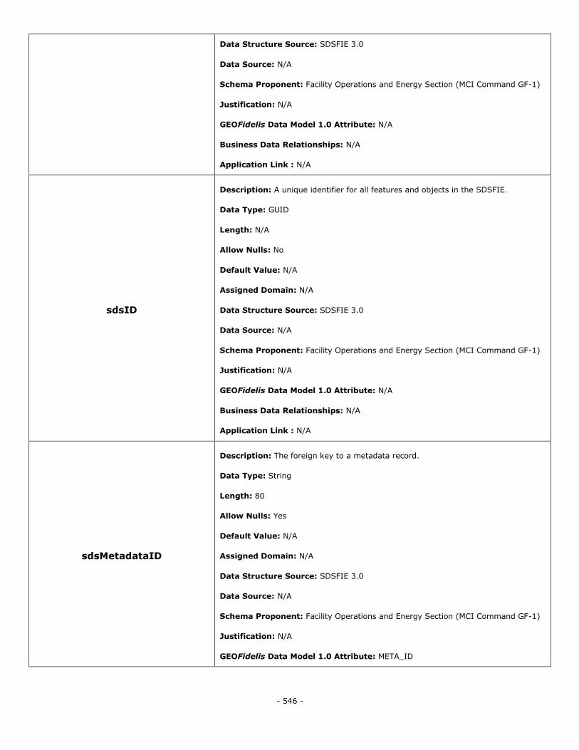
- 546 -
Data Structure Source: SDSFIE 3.0
Data Source: N/A
Schema Proponent: Facility Operations and Energy Section (MCI Command GF-1)
Justification: N/A
GEOFidelis Data Model 1.0 Attribute: N/A
Business Data Relationships: N/A
Application Link : N/A
sdsID
Description: A unique identifier for all features and objects in the SDSFIE.
Data Type: GUID
Length: N/A
Allow Nulls: No
Default Value: N/A
Assigned Domain: N/A
Data Structure Source: SDSFIE 3.0
Data Source: N/A
Schema Proponent: Facility Operations and Energy Section (MCI Command GF-1)
Justification: N/A
GEOFidelis Data Model 1.0 Attribute: N/A
Business Data Relationships: N/A
Application Link : N/A
sdsMetadataID
Description: The foreign key to a metadata record.
Data Type: String
Length: 80
Allow Nulls: Yes
Default Value: N/A
Assigned Domain: N/A
Data Structure Source: SDSFIE 3.0
Data Source: N/A
Schema Proponent: Facility Operations and Energy Section (MCI Command GF-1)
Justification: N/A
GEOFidelis Data Model 1.0 Attribute: META_ID
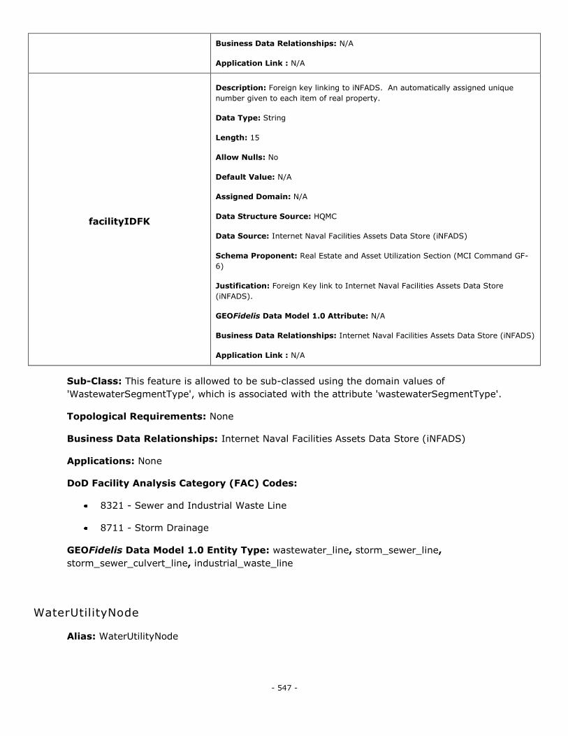
- 547 -
Business Data Relationships: N/A
Application Link : N/A
facilityIDFK
Description: Foreign key linking to iNFADS. An automatically assigned unique
number given to each item of real property.
Data Type: String
Length: 15
Allow Nulls: No
Default Value: N/A
Assigned Domain: N/A
Data Structure Source: HQMC
Data Source: Internet Naval Facilities Assets Data Store (iNFADS)
Schema Proponent: Real Estate and Asset Utilization Section (MCI Command GF-
6)
Justification: Foreign Key link to Internet Naval Facilities Assets Data Store
(iNFADS).
GEOFidelis Data Model 1.0 Attribute: N/A
Business Data Relationships: Internet Naval Facilities Assets Data Store (iNFADS)
Application Link : N/A
Sub-Class: This feature is allowed to be sub-classed using the domain values of
'WastewaterSegmentType', which is associated with the attribute 'wastewaterSegmentType'.
Topological Requirements: None
Business Data Relationships: Internet Naval Facilities Assets Data Store (iNFADS)
Applications: None
DoD Facility Analysis Category (FAC) Codes:
8321 - Sewer and Industrial Waste Line
8711 - Storm Drainage
GEOFidelis Data Model 1.0 Entity Type: wastewater_line, storm_sewer_line,
storm_sewer_culvert_line, industrial_waste_line
WaterUtilityNode
Alias: WaterUtilityNode
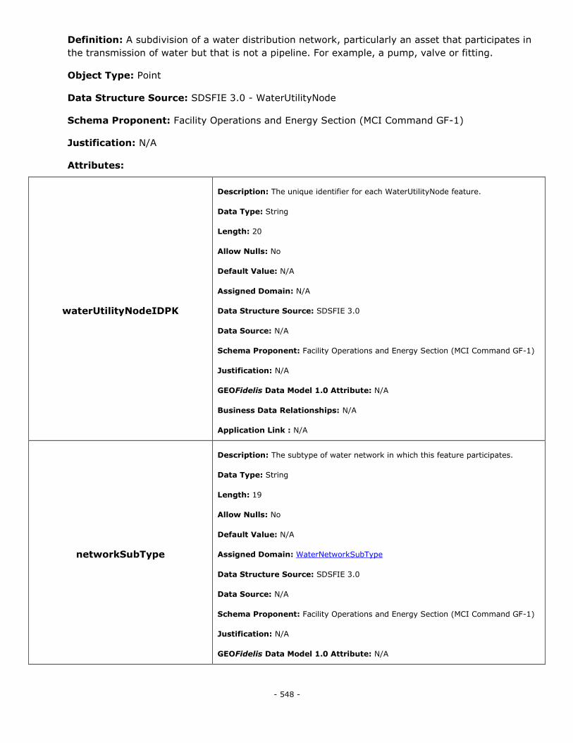
- 548 -
Definition: A subdivision of a water distribution network, particularly an asset that participates in
the transmission of water but that is not a pipeline. For example, a pump, valve or fitting.
Object Type: Point
Data Structure Source: SDSFIE 3.0 - WaterUtilityNode
Schema Proponent: Facility Operations and Energy Section (MCI Command GF-1)
Justification: N/A
Attributes:
waterUtilityNodeIDPK
Description: The unique identifier for each WaterUtilityNode feature.
Data Type: String
Length: 20
Allow Nulls: No
Default Value: N/A
Assigned Domain: N/A
Data Structure Source: SDSFIE 3.0
Data Source: N/A
Schema Proponent: Facility Operations and Energy Section (MCI Command GF-1)
Justification: N/A
GEOFidelis Data Model 1.0 Attribute: N/A
Business Data Relationships: N/A
Application Link : N/A
networkSubType
Description: The subtype of water network in which this feature participates.
Data Type: String
Length: 19
Allow Nulls: No
Default Value: N/A
Assigned Domain: WaterNetworkSubType
Data Structure Source: SDSFIE 3.0
Data Source: N/A
Schema Proponent: Facility Operations and Energy Section (MCI Command GF-1)
Justification: N/A
GEOFidelis Data Model 1.0 Attribute: N/A

- 549 -
Business Data Relationships: N/A
Application Link : N/A
waterNodeType
Description: The type of water network node that this feature represents.
Data Type: String
Length: 25
Allow Nulls: No
Default Value: N/A
Assigned Domain: WaterNodeType
Data Structure Source: SDSFIE 3.0
Data Source: N/A
Schema Proponent: Facility Operations and Energy Section (MCI Command GF-1)
Justification: N/A
GEOFidelis Data Model 1.0 Attribute: N/A
Business Data Relationships: N/A
Application Link : N/A
operationalStatus
Description: Defines the operational status of the feature.
Data Type: String
Length: 17
Allow Nulls: No
Default Value: N/A
Assigned Domain: UtilityOperationalStatus
Data Structure Source: SDSFIE 3.0
Data Source: N/A
Schema Proponent: Facility Operations and Energy Section (MCI Command GF-1)
Justification: N/A
GEOFidelis Data Model 1.0 Attribute: N/A
Business Data Relationships: N/A
Application Link : N/A
realPropertyNetworkIdentifier
Description: The designator that distinguishes one real property network (RPN)
from another within a RPI database. Source: RPIM, v4.0, extracted 7/12/2010.
Data Type: String
Length: 4
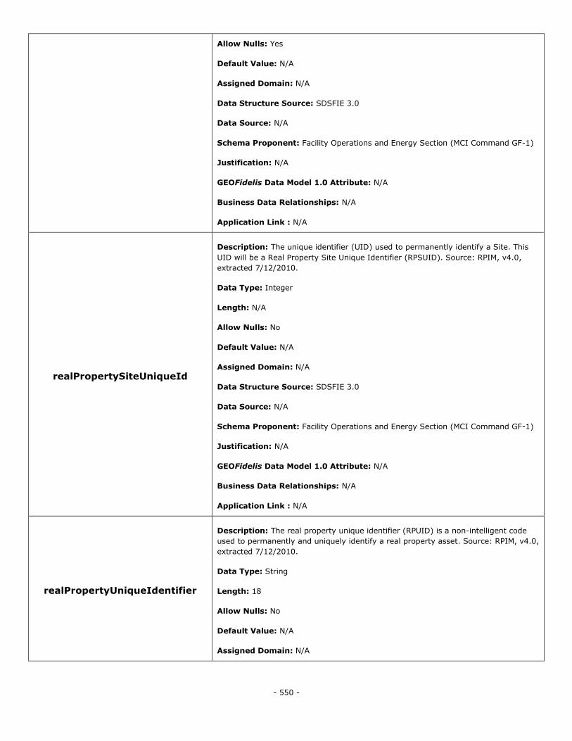
- 550 -
Allow Nulls: Yes
Default Value: N/A
Assigned Domain: N/A
Data Structure Source: SDSFIE 3.0
Data Source: N/A
Schema Proponent: Facility Operations and Energy Section (MCI Command GF-1)
Justification: N/A
GEOFidelis Data Model 1.0 Attribute: N/A
Business Data Relationships: N/A
Application Link : N/A
realPropertySiteUniqueId
Description: The unique identifier (UID) used to permanently identify a Site. This
UID will be a Real Property Site Unique Identifier (RPSUID). Source: RPIM, v4.0,
extracted 7/12/2010.
Data Type: Integer
Length: N/A
Allow Nulls: No
Default Value: N/A
Assigned Domain: N/A
Data Structure Source: SDSFIE 3.0
Data Source: N/A
Schema Proponent: Facility Operations and Energy Section (MCI Command GF-1)
Justification: N/A
GEOFidelis Data Model 1.0 Attribute: N/A
Business Data Relationships: N/A
Application Link : N/A
realPropertyUniqueIdentifier
Description: The real property unique identifier (RPUID) is a non-intelligent code
used to permanently and uniquely identify a real property asset. Source: RPIM, v4.0,
extracted 7/12/2010.
Data Type: String
Length: 18
Allow Nulls: No
Default Value: N/A
Assigned Domain: N/A
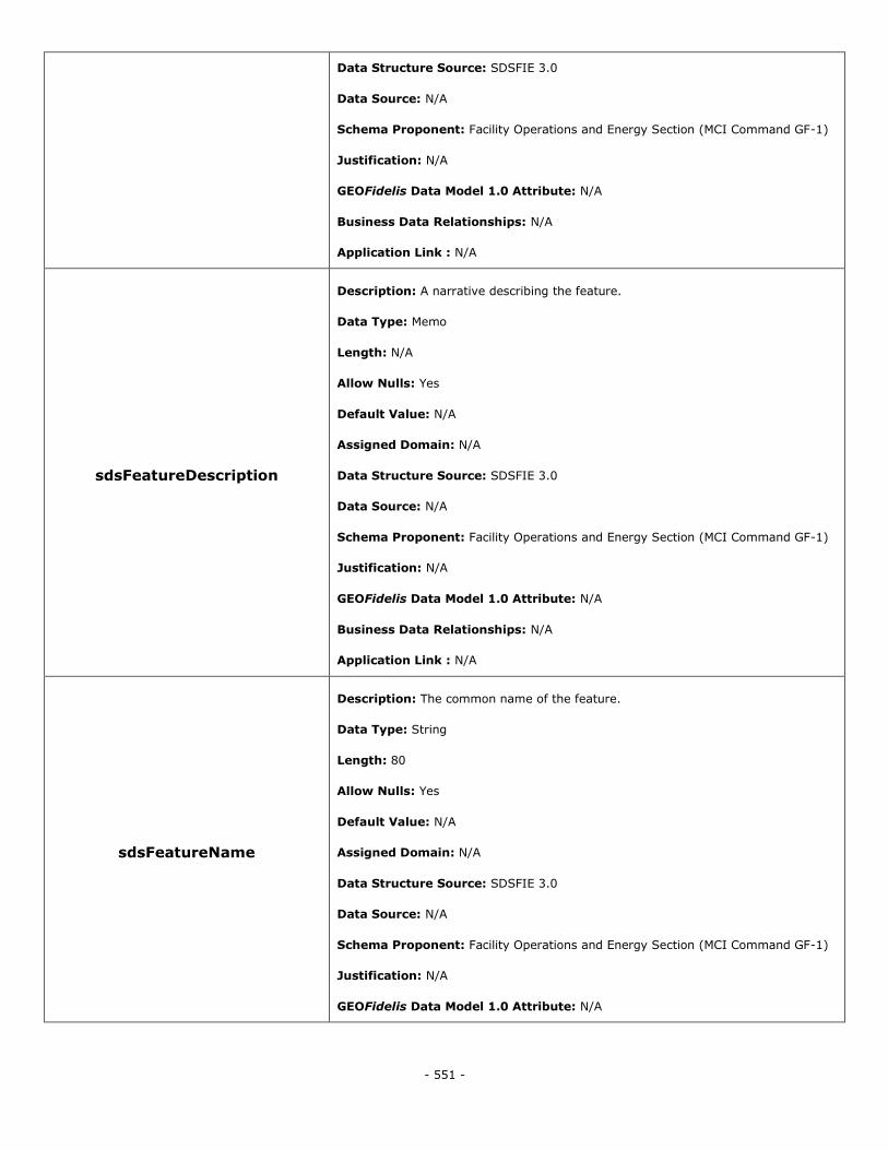
- 551 -
Data Structure Source: SDSFIE 3.0
Data Source: N/A
Schema Proponent: Facility Operations and Energy Section (MCI Command GF-1)
Justification: N/A
GEOFidelis Data Model 1.0 Attribute: N/A
Business Data Relationships: N/A
Application Link : N/A
sdsFeatureDescription
Description: A narrative describing the feature.
Data Type: Memo
Length: N/A
Allow Nulls: Yes
Default Value: N/A
Assigned Domain: N/A
Data Structure Source: SDSFIE 3.0
Data Source: N/A
Schema Proponent: Facility Operations and Energy Section (MCI Command GF-1)
Justification: N/A
GEOFidelis Data Model 1.0 Attribute: N/A
Business Data Relationships: N/A
Application Link : N/A
sdsFeatureName
Description: The common name of the feature.
Data Type: String
Length: 80
Allow Nulls: Yes
Default Value: N/A
Assigned Domain: N/A
Data Structure Source: SDSFIE 3.0
Data Source: N/A
Schema Proponent: Facility Operations and Energy Section (MCI Command GF-1)
Justification: N/A
GEOFidelis Data Model 1.0 Attribute: N/A

- 552 -
Business Data Relationships: N/A
Application Link : N/A
sdsID
Description: A unique identifier for all features and objects in the SDSFIE.
Data Type: GUID
Length: N/A
Allow Nulls: No
Default Value: N/A
Assigned Domain: N/A
Data Structure Source: SDSFIE 3.0
Data Source: N/A
Schema Proponent: Facility Operations and Energy Section (MCI Command GF-1)
Justification: N/A
GEOFidelis Data Model 1.0 Attribute: N/A
Business Data Relationships: N/A
Application Link : N/A
sdsMetadataID
Description: The foreign key to a metadata record.
Data Type: String
Length: 80
Allow Nulls: Yes
Default Value: N/A
Assigned Domain: N/A
Data Structure Source: SDSFIE 3.0
Data Source: N/A
Schema Proponent: Facility Operations and Energy Section (MCI Command GF-1)
Justification: N/A
GEOFidelis Data Model 1.0 Attribute: META_ID
Business Data Relationships: N/A
Application Link : N/A
facilityIDFK
Description: Foreign key linking to iNFADS. An automatically assigned unique
number given to each item of real property.
Data Type: String
Length: 15
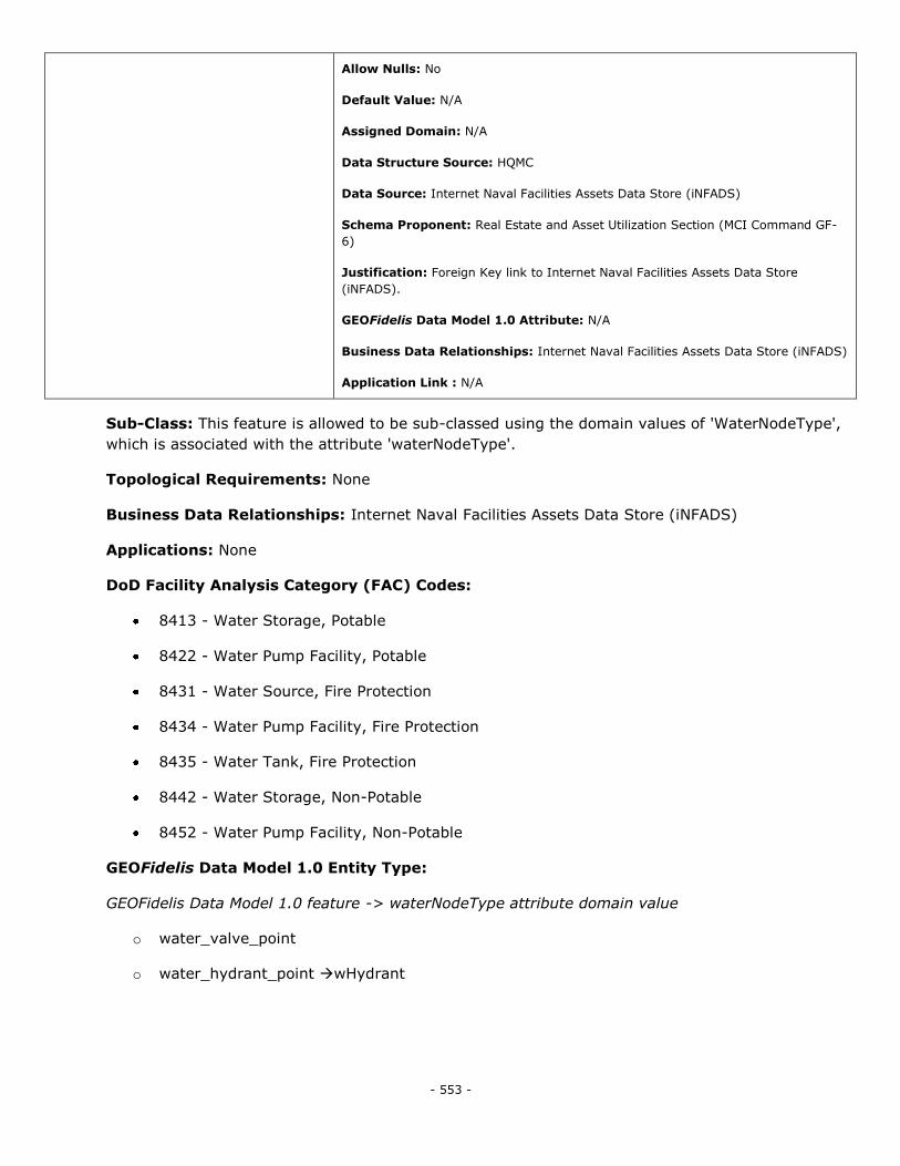
- 553 -
Allow Nulls: No
Default Value: N/A
Assigned Domain: N/A
Data Structure Source: HQMC
Data Source: Internet Naval Facilities Assets Data Store (iNFADS)
Schema Proponent: Real Estate and Asset Utilization Section (MCI Command GF-
6)
Justification: Foreign Key link to Internet Naval Facilities Assets Data Store
(iNFADS).
GEOFidelis Data Model 1.0 Attribute: N/A
Business Data Relationships: Internet Naval Facilities Assets Data Store (iNFADS)
Application Link : N/A
Sub-Class: This feature is allowed to be sub-classed using the domain values of 'WaterNodeType',
which is associated with the attribute 'waterNodeType'.
Topological Requirements: None
Business Data Relationships: Internet Naval Facilities Assets Data Store (iNFADS)
Applications: None
DoD Facility Analysis Category (FAC) Codes:
8413 - Water Storage, Potable
8422 - Water Pump Facility, Potable
8431 - Water Source, Fire Protection
8434 - Water Pump Facility, Fire Protection
8435 - Water Tank, Fire Protection
8442 - Water Storage, Non-Potable
8452 - Water Pump Facility, Non-Potable
GEOFidelis Data Model 1.0 Entity Type:
GEOFidelis Data Model 1.0 feature -> waterNodeType attribute domain value
o water_valve_point
o water_hydrant_point wHydrant
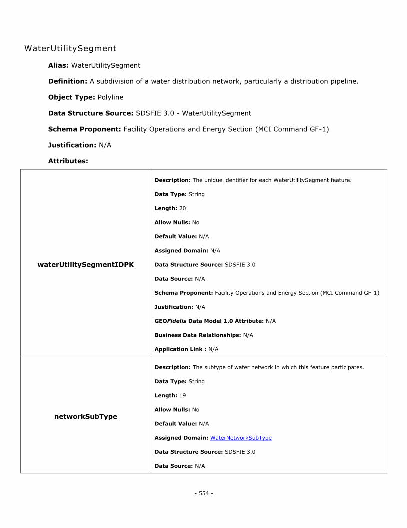
- 554 -
WaterUtilitySegment
Alias: WaterUtilitySegment
Definition: A subdivision of a water distribution network, particularly a distribution pipeline.
Object Type: Polyline
Data Structure Source: SDSFIE 3.0 - WaterUtilitySegment
Schema Proponent: Facility Operations and Energy Section (MCI Command GF-1)
Justification: N/A
Attributes:
waterUtilitySegmentIDPK
Description: The unique identifier for each WaterUtilitySegment feature.
Data Type: String
Length: 20
Allow Nulls: No
Default Value: N/A
Assigned Domain: N/A
Data Structure Source: SDSFIE 3.0
Data Source: N/A
Schema Proponent: Facility Operations and Energy Section (MCI Command GF-1)
Justification: N/A
GEOFidelis Data Model 1.0 Attribute: N/A
Business Data Relationships: N/A
Application Link : N/A
networkSubType
Description: The subtype of water network in which this feature participates.
Data Type: String
Length: 19
Allow Nulls: No
Default Value: N/A
Assigned Domain: WaterNetworkSubType
Data Structure Source: SDSFIE 3.0
Data Source: N/A
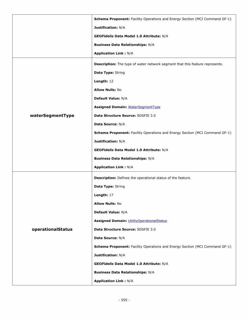
- 555 -
Schema Proponent: Facility Operations and Energy Section (MCI Command GF-1)
Justification: N/A
GEOFidelis Data Model 1.0 Attribute: N/A
Business Data Relationships: N/A
Application Link : N/A
waterSegmentType
Description: The type of water network segment that this feature represents.
Data Type: String
Length: 12
Allow Nulls: No
Default Value: N/A
Assigned Domain: WaterSegmentType
Data Structure Source: SDSFIE 3.0
Data Source: N/A
Schema Proponent: Facility Operations and Energy Section (MCI Command GF-1)
Justification: N/A
GEOFidelis Data Model 1.0 Attribute: N/A
Business Data Relationships: N/A
Application Link : N/A
operationalStatus
Description: Defines the operational status of the feature.
Data Type: String
Length: 17
Allow Nulls: No
Default Value: N/A
Assigned Domain: UtilityOperationalStatus
Data Structure Source: SDSFIE 3.0
Data Source: N/A
Schema Proponent: Facility Operations and Energy Section (MCI Command GF-1)
Justification: N/A
GEOFidelis Data Model 1.0 Attribute: N/A
Business Data Relationships: N/A
Application Link : N/A
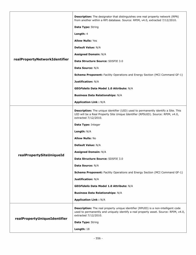
- 556 -
realPropertyNetworkIdentifier
Description: The designator that distinguishes one real property network (RPN)
from another within a RPI database. Source: RPIM, v4.0, extracted 7/12/2010.
Data Type: String
Length: 4
Allow Nulls: Yes
Default Value: N/A
Assigned Domain: N/A
Data Structure Source: SDSFIE 3.0
Data Source: N/A
Schema Proponent: Facility Operations and Energy Section (MCI Command GF-1)
Justification: N/A
GEOFidelis Data Model 1.0 Attribute: N/A
Business Data Relationships: N/A
Application Link : N/A
realPropertySiteUniqueId
Description: The unique identifier (UID) used to permanently identify a Site. This
UID will be a Real Property Site Unique Identifier (RPSUID). Source: RPIM, v4.0,
extracted 7/12/2010.
Data Type: Integer
Length: N/A
Allow Nulls: No
Default Value: N/A
Assigned Domain: N/A
Data Structure Source: SDSFIE 3.0
Data Source: N/A
Schema Proponent: Facility Operations and Energy Section (MCI Command GF-1)
Justification: N/A
GEOFidelis Data Model 1.0 Attribute: N/A
Business Data Relationships: N/A
Application Link : N/A
realPropertyUniqueIdentifier
Description: The real property unique identifier (RPUID) is a non-intelligent code
used to permanently and uniquely identify a real property asset. Source: RPIM, v4.0,
extracted 7/12/2010.
Data Type: String
Length: 18

- 557 -
Allow Nulls: No
Default Value: N/A
Assigned Domain: N/A
Data Structure Source: SDSFIE 3.0
Data Source: N/A
Schema Proponent: Facility Operations and Energy Section (MCI Command GF-1)
Justification: N/A
GEOFidelis Data Model 1.0 Attribute: N/A
Business Data Relationships: N/A
Application Link : N/A
sdsFeatureDescription
Description: A narrative describing the feature.
Data Type: Memo
Length: N/A
Allow Nulls: Yes
Default Value: N/A
Assigned Domain: N/A
Data Structure Source: SDSFIE 3.0
Data Source: N/A
Schema Proponent: Facility Operations and Energy Section (MCI Command GF-1)
Justification: N/A
GEOFidelis Data Model 1.0 Attribute: N/A
Business Data Relationships: N/A
Application Link : N/A
sdsFeatureName
Description: The common name of the feature.
Data Type: String
Length: 80
Allow Nulls: Yes
Default Value: N/A
Assigned Domain: N/A
Data Structure Source: SDSFIE 3.0
Data Source: N/A

- 558 -
Schema Proponent: Facility Operations and Energy Section (MCI Command GF-1)
Justification: N/A
GEOFidelis Data Model 1.0 Attribute: N/A
Business Data Relationships: N/A
Application Link : N/A
sdsID
Description: A unique identifier for all features and objects in the SDSFIE.
Data Type: GUID
Length: N/A
Allow Nulls: No
Default Value: N/A
Assigned Domain: N/A
Data Structure Source: SDSFIE 3.0
Data Source: N/A
Schema Proponent: Facility Operations and Energy Section (MCI Command GF-1)
Justification: N/A
GEOFidelis Data Model 1.0 Attribute: N/A
Business Data Relationships: N/A
Application Link : N/A
sdsMetadataID
Description: The foreign key to a metadata record.
Data Type: String
Length: 80
Allow Nulls: Yes
Default Value: N/A
Assigned Domain: N/A
Data Structure Source: SDSFIE 3.0
Data Source: N/A
Schema Proponent: Facility Operations and Energy Section (MCI Command GF-1)
Justification: N/A
GEOFidelis Data Model 1.0 Attribute: META_ID
Business Data Relationships: N/A
Application Link : N/A
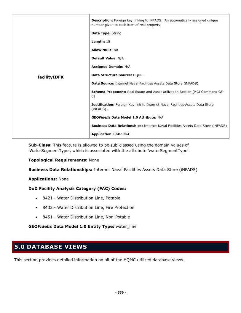
- 559 -
facilityIDFK
Description: Foreign key linking to iNFADS. An automatically assigned unique
number given to each item of real property.
Data Type: String
Length: 15
Allow Nulls: No
Default Value: N/A
Assigned Domain: N/A
Data Structure Source: HQMC
Data Source: Internet Naval Facilities Assets Data Store (iNFADS)
Schema Proponent: Real Estate and Asset Utilization Section (MCI Command GF-
6)
Justification: Foreign Key link to Internet Naval Facilities Assets Data Store
(iNFADS).
GEOFidelis Data Model 1.0 Attribute: N/A
Business Data Relationships: Internet Naval Facilities Assets Data Store (iNFADS)
Application Link : N/A
Sub-Class: This feature is allowed to be sub-classed using the domain values of
'WaterSegmentType', which is associated with the attribute 'waterSegmentType'.
Topological Requirements: None
Business Data Relationships: Internet Naval Facilities Assets Data Store (iNFADS)
Applications: None
DoD Facility Analysis Category (FAC) Codes:
8421 - Water Distribution Line, Potable
8432 - Water Distribution Line, Fire Protection
8451 - Water Distribution Line, Non-Potable
GEOFidelis Data Model 1.0 Entity Type: water_line
5.0 DATABASE VIEWS
This section provides detailed information on all of the HQMC utilized database views.

- 560 -
Class 2 Real Property
Name: DV_Class2_RealProperty
Description: All class 2 (facilities) real property assets.
Feature(s): UtilityFeature, POLUtilityNode, POLUtilitySegment, CommUtilityNode,
CommUtilitySegment, ElectricalUtilityNode, ElectricalUtilitySegment, GasUtilityNode,
GasUtilitySegment, ThermalUtilityNode, ThermalUtilitySegment, WastewaterUtilityNode,
WastewaterUtilitySegment, WaterUtilityNode, WaterUtilitySegment, AbovegroundStorageTank,
UndergroundStorageTank, AmmunitionStorage, UnexplodedOrdnanceClearance,
MilitaryTrainingLocation, ImpactArea, MilitaryDropZone, MilitaryRange, HistoricObject,
CemeteryOrBurialSite, PollutionArea, AccessControl, BoatRamp, Bridge, Building, Campground,
DocksAndWharfs, Fence, GolfCourse, Impoundment, Levee, Marina, MooringStructure,
NavigationalAid, PavementSection, RailTrack, RecreationArea, Structure, Tower,
TransportationTunnel, VesselRepairFacility, Wall, WaveAttenuator, Well, TrafficControlLight,
AlternativeEnergy
Attribute(s): sdsID, sdsmetadataID, sdsFeatureDescription, sdsFeatureName, facilityIDFK,
realPropertyUniqueIdentifier
Condition: None
Ingrants
Name: DV_Ingrants
Description: Land parcels that are acquired as Ingrants.
Feature(s): LandParcel
Attribute(s): parcelStatus, sdsID, sdsmetadataID, sdsFeatureDescription, sdsFeatureName,
facilityIDFK, realPropertyUniqueIdentifier
Condition: parcelStatus = ―InLicenseROEPermit‖ or ―GSAOccupancyAgreement‖ or
―InLeaseCompetitive‖ or ―InLeaseNonCompetitive‖ or ―MCONAquisitionOfRP‖ or
―MinorAquisitionOfRP‖ or ―InGrantBilateralAgreement‖
Outgrants
Name: DV_Outgrants
Description(s): Land and facility outgrants.
Feature(s): Outgrant and DV_Class2_RealProperty
Attribute(s): sdsID, sdsmetadataID, sdsFeatureDescription, sdsFeatureName, facilityIDFK,
realPropertyUniqueIdentifier
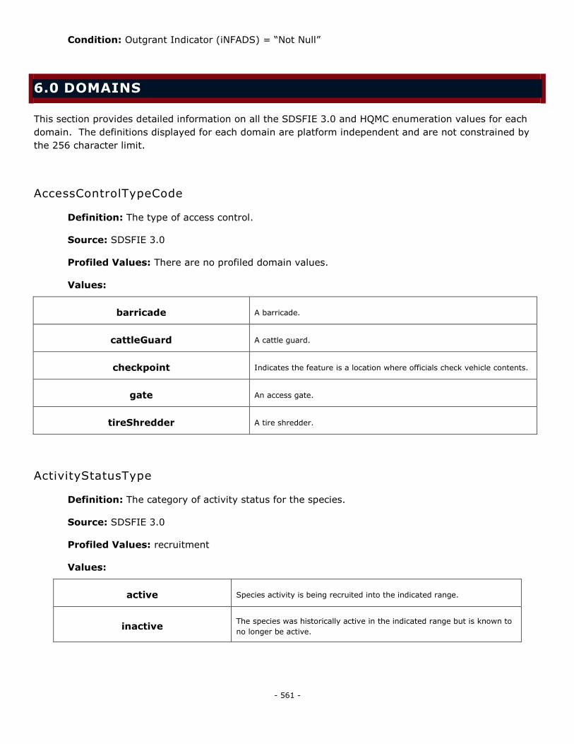
- 561 -
Condition: Outgrant Indicator (iNFADS) = ―Not Null‖
6.0 DOMAINS
This section provides detailed information on all the SDSFIE 3.0 and HQMC enumeration values for each
domain. The definitions displayed for each domain are platform independent and are not constrained by
the 256 character limit.
AccessControlTypeCode
Definition: The type of access control.
Source: SDSFIE 3.0
Profiled Values: There are no profiled domain values.
Values:
barricade A barricade.
cattleGuard A cattle guard.
checkpoint Indicates the feature is a location where officials check vehicle contents.
gate An access gate.
tireShredder A tire shredder.
ActivityStatusType
Definition: The category of activity status for the species.
Source: SDSFIE 3.0
Profiled Values: recruitment
Values:
active Species activity is being recruited into the indicated range.
inactive The species was historically active in the indicated range but is known to
no longer be active.
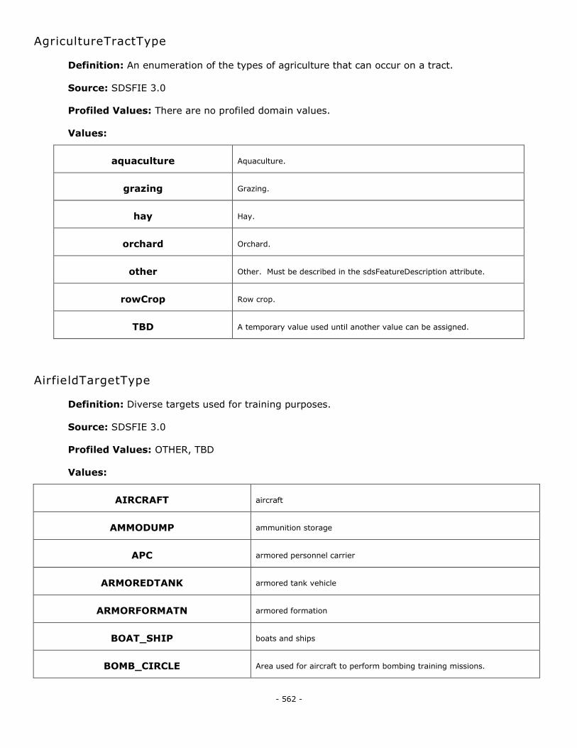
- 562 -
AgricultureTractType
Definition: An enumeration of the types of agriculture that can occur on a tract.
Source: SDSFIE 3.0
Profiled Values: There are no profiled domain values.
Values:
aquaculture Aquaculture.
grazing Grazing.
hay Hay.
orchard Orchard.
other Other. Must be described in the sdsFeatureDescription attribute.
rowCrop Row crop.
TBD A temporary value used until another value can be assigned.
AirfieldTargetType
Definition: Diverse targets used for training purposes.
Source: SDSFIE 3.0
Profiled Values: OTHER, TBD
Values:
AIRCRAFT aircraft
AMMODUMP ammunition storage
APC armored personnel carrier
ARMOREDTANK armored tank vehicle
ARMORFORMATN armored formation
BOAT_SHIP boats and ships
BOMB_CIRCLE Area used for aircraft to perform bombing training missions.
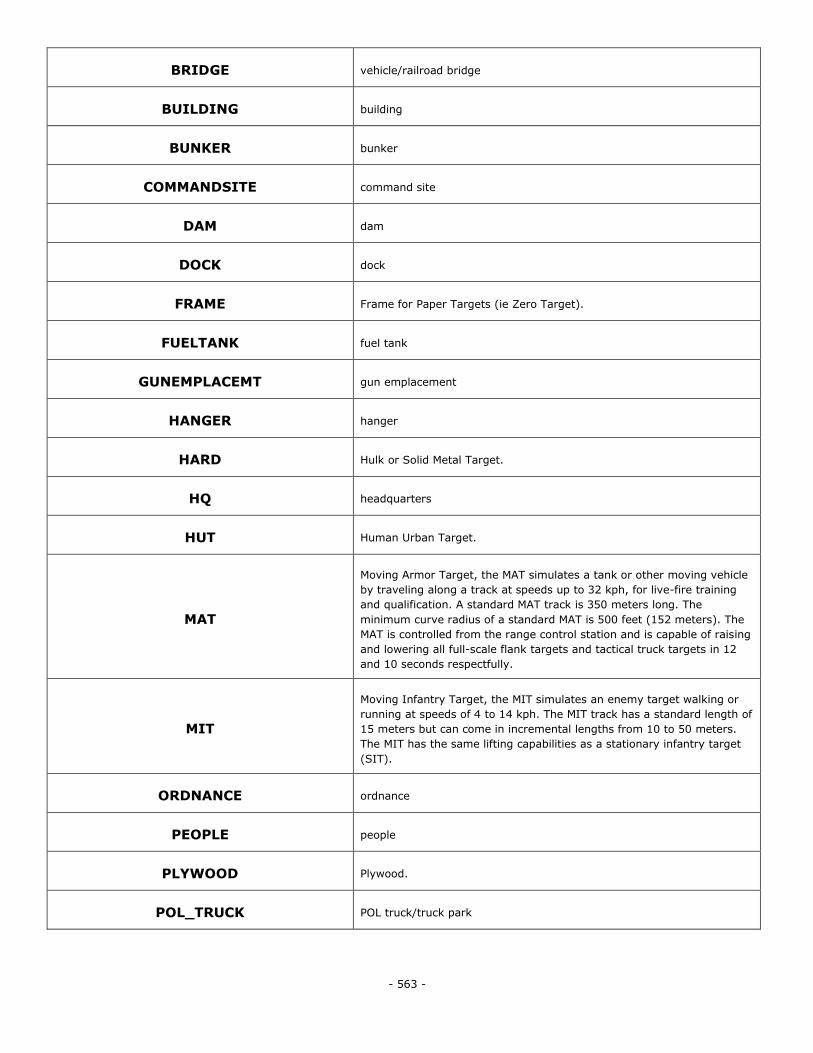
- 563 -
BRIDGE vehicle/railroad bridge
BUILDING building
BUNKER bunker
COMMANDSITE command site
DAM dam
DOCK dock
FRAME Frame for Paper Targets (ie Zero Target).
FUELTANK fuel tank
GUNEMPLACEMT gun emplacement
HANGER hanger
HARD Hulk or Solid Metal Target.
HQ headquarters
HUT Human Urban Target.
MAT
Moving Armor Target, the MAT simulates a tank or other moving vehicle
by traveling along a track at speeds up to 32 kph, for live-fire training
and qualification. A standard MAT track is 350 meters long. The
minimum curve radius of a standard MAT is 500 feet (152 meters). The
MAT is controlled from the range control station and is capable of raising
and lowering all full-scale flank targets and tactical truck targets in 12
and 10 seconds respectfully.
MIT
Moving Infantry Target, the MIT simulates an enemy target walking or
running at speeds of 4 to 14 kph. The MIT track has a standard length of
15 meters but can come in incremental lengths from 10 to 50 meters.
The MIT has the same lifting capabilities as a stationary infantry target
(SIT).
ORDNANCE ordnance
PEOPLE people
PLYWOOD Plywood.
POL_TRUCK POL truck/truck park
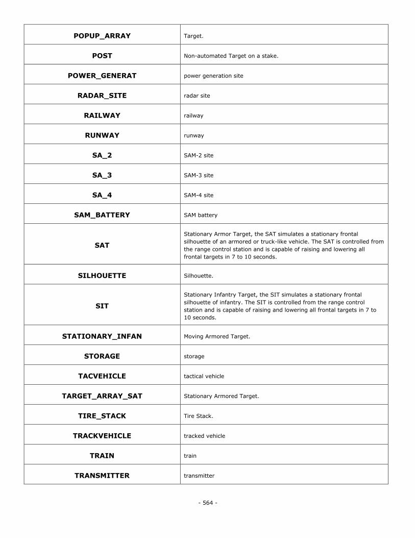
- 564 -
POPUP_ARRAY Target.
POST Non-automated Target on a stake.
POWER_GENERAT power generation site
RADAR_SITE radar site
RAILWAY railway
RUNWAY runway
SA_2 SAM-2 site
SA_3 SAM-3 site
SA_4 SAM-4 site
SAM_BATTERY SAM battery
SAT
Stationary Armor Target, the SAT simulates a stationary frontal
silhouette of an armored or truck-like vehicle. The SAT is controlled from
the range control station and is capable of raising and lowering all
frontal targets in 7 to 10 seconds.
SILHOUETTE Silhouette.
SIT
Stationary Infantry Target, the SIT simulates a stationary frontal
silhouette of infantry. The SIT is controlled from the range control
station and is capable of raising and lowering all frontal targets in 7 to
10 seconds.
STATIONARY_INFAN Moving Armored Target.
STORAGE storage
TACVEHICLE tactical vehicle
TARGET_ARRAY_SAT Stationary Armored Target.
TIRE_STACK Tire Stack.
TRACKVEHICLE tracked vehicle
TRAIN train
TRANSMITTER transmitter
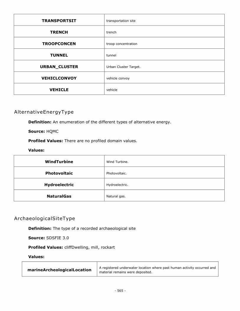
- 565 -
TRANSPORTSIT transportation site
TRENCH trench
TROOPCONCEN troop concentration
TUNNEL tunnel
URBAN_CLUSTER Urban Cluster Target.
VEHICLCONVOY vehicle convoy
VEHICLE vehicle
AlternativeEnergyType
Definition: An enumeration of the different types of alternative energy.
Source: HQMC
Profiled Values: There are no profiled domain values.
Values:
WindTurbine Wind Turbine.
Photovoltaic Photovoltaic.
Hydroelectric Hydroelectric.
NaturalGas Natural gas.
ArchaeologicalSiteType
Definition: The type of a recorded archaeological site
Source: SDSFIE 3.0
Profiled Values: cliffDwelling, mill, rockart
Values:
marineArcheologicalLocation A registered underwater location where past human activity occurred and
material remains were deposited.
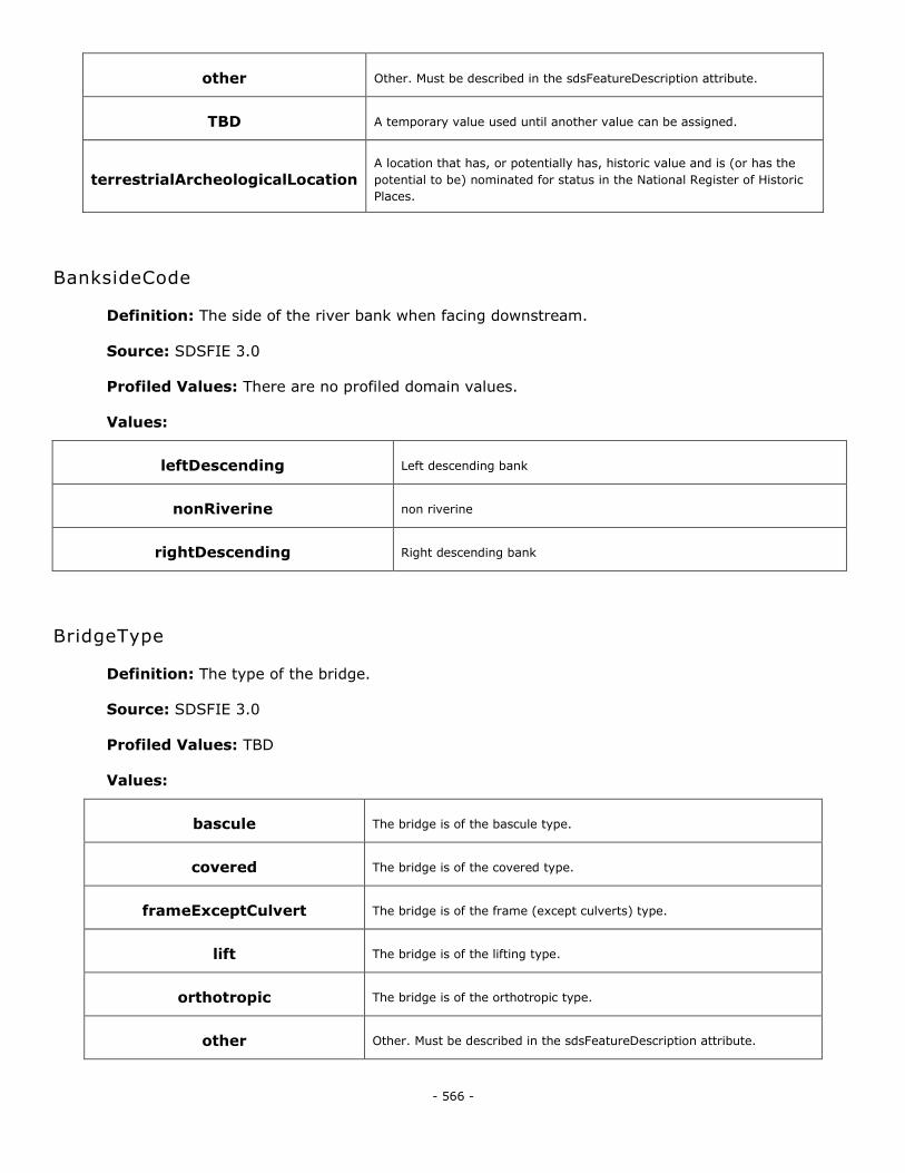
- 566 -
other Other. Must be described in the sdsFeatureDescription attribute.
TBD A temporary value used until another value can be assigned.
terrestrialArcheologicalLocation A location that has, or potentially has, historic value and is (or has the
potential to be) nominated for status in the National Register of Historic
Places.
BanksideCode
Definition: The side of the river bank when facing downstream.
Source: SDSFIE 3.0
Profiled Values: There are no profiled domain values.
Values:
leftDescending Left descending bank
nonRiverine non riverine
rightDescending Right descending bank
BridgeType
Definition: The type of the bridge.
Source: SDSFIE 3.0
Profiled Values: TBD
Values:
bascule The bridge is of the bascule type.
covered The bridge is of the covered type.
frameExceptCulvert The bridge is of the frame (except culverts) type.
lift The bridge is of the lifting type.
orthotropic The bridge is of the orthotropic type.
other Other. Must be described in the sdsFeatureDescription attribute.
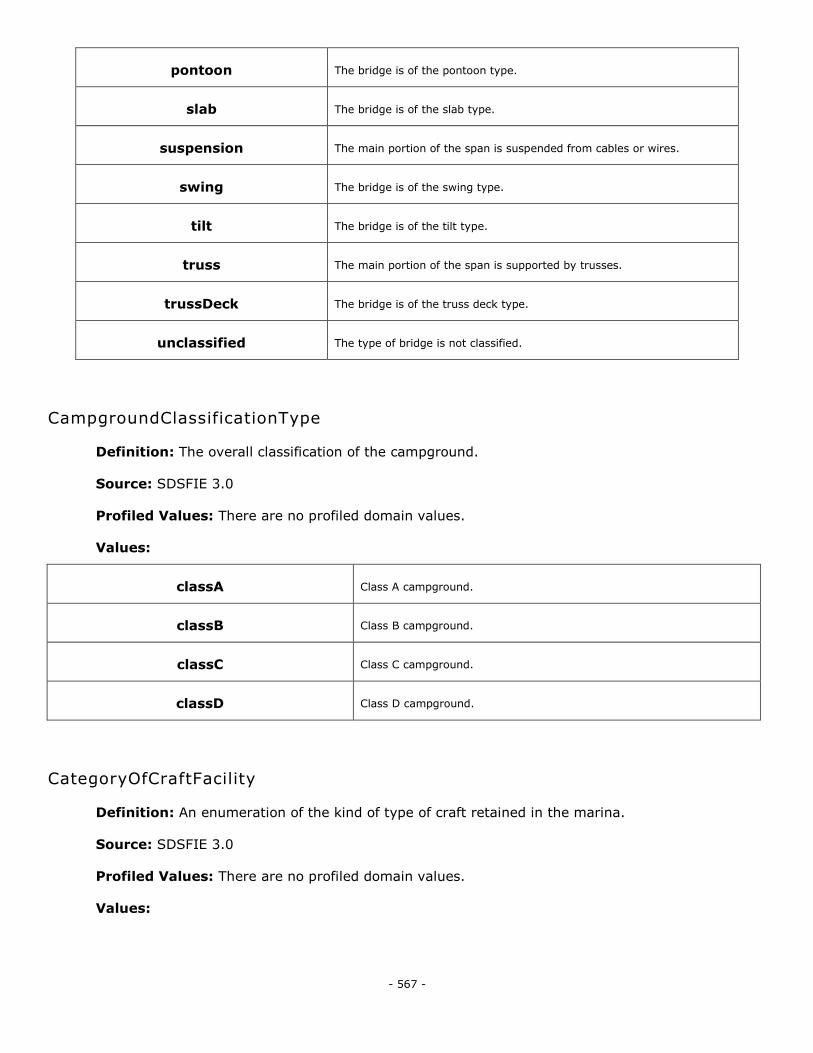
- 567 -
pontoon The bridge is of the pontoon type.
slab The bridge is of the slab type.
suspension The main portion of the span is suspended from cables or wires.
swing The bridge is of the swing type.
tilt The bridge is of the tilt type.
truss The main portion of the span is supported by trusses.
trussDeck The bridge is of the truss deck type.
unclassified The type of bridge is not classified.
CampgroundClassificationType
Definition: The overall classification of the campground.
Source: SDSFIE 3.0
Profiled Values: There are no profiled domain values.
Values:
classA Class A campground.
classB Class B campground.
classC Class C campground.
classD Class D campground.
CategoryOfCraftFacility
Definition: An enumeration of the kind of type of craft retained in the marina.
Source: SDSFIE 3.0
Profiled Values: There are no profiled domain values.
Values:
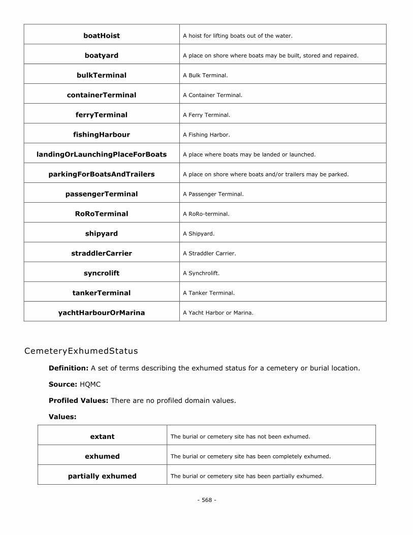
- 568 -
boatHoist A hoist for lifting boats out of the water.
boatyard A place on shore where boats may be built, stored and repaired.
bulkTerminal A Bulk Terminal.
containerTerminal A Container Terminal.
ferryTerminal A Ferry Terminal.
fishingHarbour A Fishing Harbor.
landingOrLaunchingPlaceForBoats A place where boats may be landed or launched.
parkingForBoatsAndTrailers A place on shore where boats and/or trailers may be parked.
passengerTerminal A Passenger Terminal.
RoRoTerminal A RoRo-terminal.
shipyard A Shipyard.
straddlerCarrier A Straddler Carrier.
syncrolift A Synchrolift.
tankerTerminal A Tanker Terminal.
yachtHarbourOrMarina A Yacht Harbor or Marina.
CemeteryExhumedStatus
Definition: A set of terms describing the exhumed status for a cemetery or burial location.
Source: HQMC
Profiled Values: There are no profiled domain values.
Values:
extant The burial or cemetery site has not been exhumed.
exhumed The burial or cemetery site has been completely exhumed.
partially exhumed The burial or cemetery site has been partially exhumed.
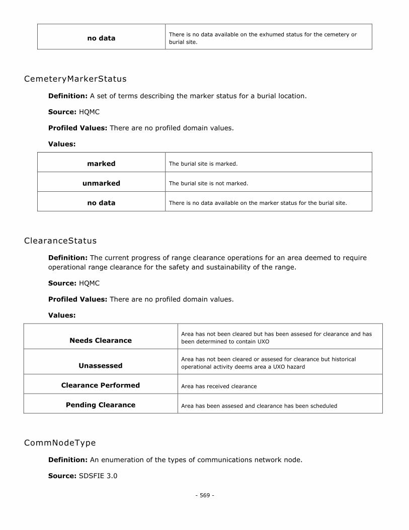
- 569 -
no data There is no data available on the exhumed status for the cemetery or
burial site.
CemeteryMarkerStatus
Definition: A set of terms describing the marker status for a burial location.
Source: HQMC
Profiled Values: There are no profiled domain values.
Values:
marked The burial site is marked.
unmarked The burial site is not marked.
no data There is no data available on the marker status for the burial site.
ClearanceStatus
Definition: The current progress of range clearance operations for an area deemed to require
operational range clearance for the safety and sustainability of the range.
Source: HQMC
Profiled Values: There are no profiled domain values.
Values:
Needs Clearance Area has not been cleared but has been assesed for clearance and has
been determined to contain UXO
Unassessed Area has not been cleared or assesed for clearance but historical
operational activity deems area a UXO hazard
Clearance Performed Area has received clearance
Pending Clearance Area has been assesed and clearance has been scheduled
CommNodeType
Definition: An enumeration of the types of communications network node.
Source: SDSFIE 3.0
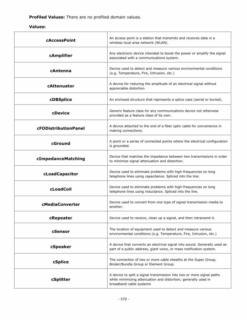
- 570 -
Profiled Values: There are no profiled domain values.
Values:
cAccessPoint An access point is a station that transmits and receives data in a
wireless local area network (WLAN).
cAmplifier Any electronic device intended to boost the power or amplify the signal
associated with a communications system.
cAntenna Device used to detect and measure various environmental conditions
(e.g. Temperature, Fire, Intrusion, etc.)
cAttenuator A device for reducing the amplitude of an electrical signal without
appreciable distortion
cDBSplice An enclosed structure that represents a splice case (aerial or buried).
cDevice Generic feature class for any communications device not otherwise
provided as a feature class of its own.
cFODistributionPanel A device attached to the end of a fiber optic cable for convenience in
making connections.
cGround A point or a series of connected points where the electrical configuration
is grounded.
cImpedanceMatching Device that matches the impedance between two transmissions in order
to minimize signal attenuation and distortion.
cLoadCapacitor Device used to eliminate problems with high-frequencies on long
telephone lines using capacitance. Spliced into the line.
cLoadCoil Device used to eliminate problems with high-frequencies on long
telephone lines using inductance. Spliced into the line.
cMediaConverter Device used to convert from one type of signal transmission media to
another.
cRepeater Device used to receive, clean up a signal, and then retransmit it.
cSensor The location of equipment used to detect and measure various
environmental conditions (e.g. Temperature, Fire, Intrusion, etc.)
cSpeaker A device that converts an electrical signal into sound. Generally used as
part of a public address, giant voice, or mass notification system.
cSplice The connection of two or more cable sheaths at the Super Group,
Binder/Bundle Group or Element Group.
cSplitter A device to split a signal transmission into two or more signal paths
while minimizing attenuation and distortion; generally used in
broadband cable systems
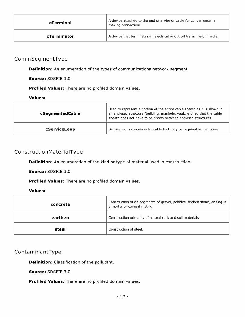
- 571 -
cTerminal A device attached to the end of a wire or cable for convenience in
making connections.
cTerminator A device that terminates an electrical or optical transmission media.
CommSegmentType
Definition: An enumeration of the types of communications network segment.
Source: SDSFIE 3.0
Profiled Values: There are no profiled domain values.
Values:
cSegmentedCable Used to represent a portion of the entire cable sheath as it is shown in
an enclosed structure (building, manhole, vault, etc) so that the cable
sheath does not have to be drawn between enclosed structures.
cServiceLoop Service loops contain extra cable that may be required in the future.
ConstructionMaterialType
Definition: An enumeration of the kind or type of material used in construction.
Source: SDSFIE 3.0
Profiled Values: There are no profiled domain values.
Values:
concrete Construction of an aggregate of gravel, pebbles, broken stone, or slag in
a mortar or cement matrix.
earthen Construction primarily of natural rock and soil materials.
steel Construction of steel.
ContaminantType
Definition: Classification of the pollutant.
Source: SDSFIE 3.0
Profiled Values: There are no profiled domain values.
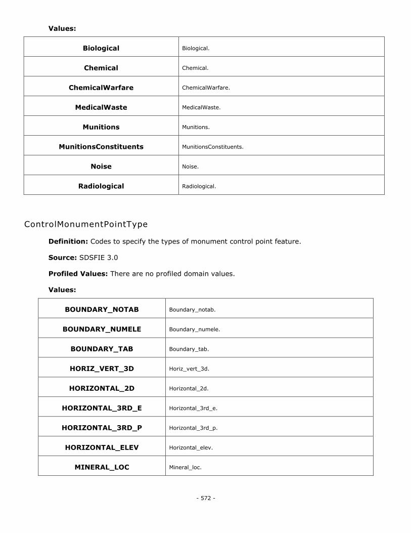
- 572 -
Values:
Biological Biological.
Chemical Chemical.
ChemicalWarfare ChemicalWarfare.
MedicalWaste MedicalWaste.
Munitions Munitions.
MunitionsConstituents MunitionsConstituents.
Noise Noise.
Radiological Radiological.
ControlMonumentPointType
Definition: Codes to specify the types of monument control point feature.
Source: SDSFIE 3.0
Profiled Values: There are no profiled domain values.
Values:
BOUNDARY_NOTAB Boundary_notab.
BOUNDARY_NUMELE Boundary_numele.
BOUNDARY_TAB Boundary_tab.
HORIZ_VERT_3D Horiz_vert_3d.
HORIZONTAL_2D Horizontal_2d.
HORIZONTAL_3RD_E Horizontal_3rd_e.
HORIZONTAL_3RD_P Horizontal_3rd_p.
HORIZONTAL_ELEV Horizontal_elev.
MINERAL_LOC Mineral_loc.
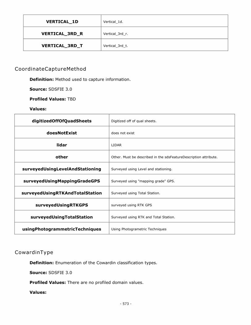
- 573 -
VERTICAL_1D Vertical_1d.
VERTICAL_3RD_R Vertical_3rd_r.
VERTICAL_3RD_T Vertical_3rd_t.
CoordinateCaptureMethod
Definition: Method used to capture information.
Source: SDSFIE 3.0
Profiled Values: TBD
Values:
digitizedOffOfQuadSheets Digitized off of qual sheets.
doesNotExist does not exist
lidar LIDAR
other Other. Must be described in the sdsFeatureDescription attribute.
surveyedUsingLevelAndStationing Surveyed using Level and stationing.
surveyedUsingMappingGradeGPS Surveyed using "mapping grade" GPS.
surveyedUsingRTKAndTotalStation Surveyed using Total Station.
surveyedUsingRTKGPS surveyed using RTK GPS
surveyedUsingTotalStation Surveyed using RTK and Total Station.
usingPhotogrammetricTechniques Using Photogrametric Techniques
CowardinType
Definition: Enumeration of the Cowardin classification types.
Source: SDSFIE 3.0
Profiled Values: There are no profiled domain values.
Values:
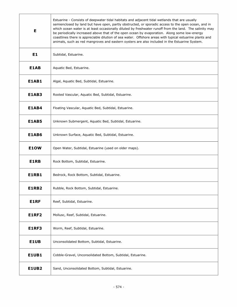
- 574 -
E
Estuarine - Consists of deepwater tidal habitats and adjacent tidal wetlands that are usually
semienclosed by land but have open, partly obstructed, or sporadic access to the open ocean, and in
which ocean water is at least occasionally diluted by freshwater runoff from the land. The salinity may
be periodically increased above that of the open ocean by evaporation. Along some low-energy
coastlines there is appreciable dilution of sea water. Offshore areas with typical estuarine plants and
animals, such as red mangroves and eastern oysters are also included in the Estuarine System.
E1 Subtidal, Estuarine.
E1AB Aquatic Bed, Estuarine.
E1AB1 Algal, Aquatic Bed, Subtidal, Estuarine.
E1AB3 Rooted Vascular, Aquatic Bed, Subtidal, Estuarine.
E1AB4 Floating Vascular, Aquatic Bed, Subtidal, Estuarine.
E1AB5 Unknown Submergent, Aquatic Bed, Subtidal, Estuarine.
E1AB6 Unknown Surface, Aquatic Bed, Subtidal, Estuarine.
E1OW Open Water, Subtidal, Estuarine (used on older maps).
E1RB Rock Bottom, Subtidal, Estuarine.
E1RB1 Bedrock, Rock Bottom, Subtidal, Estuarine.
E1RB2 Rubble, Rock Bottom, Subtidal, Estuarine.
E1RF Reef, Subtidal, Estuarine.
E1RF2 Mollusc, Reef, Subtidal, Estuarine.
E1RF3 Worm, Reef, Subtidal, Estuarine.
E1UB Unconsolidated Bottom, Subtidal, Estuarine.
E1UB1 Cobble-Gravel, Unconsolidated Bottom, Subtidal, Estuarine.
E1UB2 Sand, Unconsolidated Bottom, Subtidal, Estuarine.
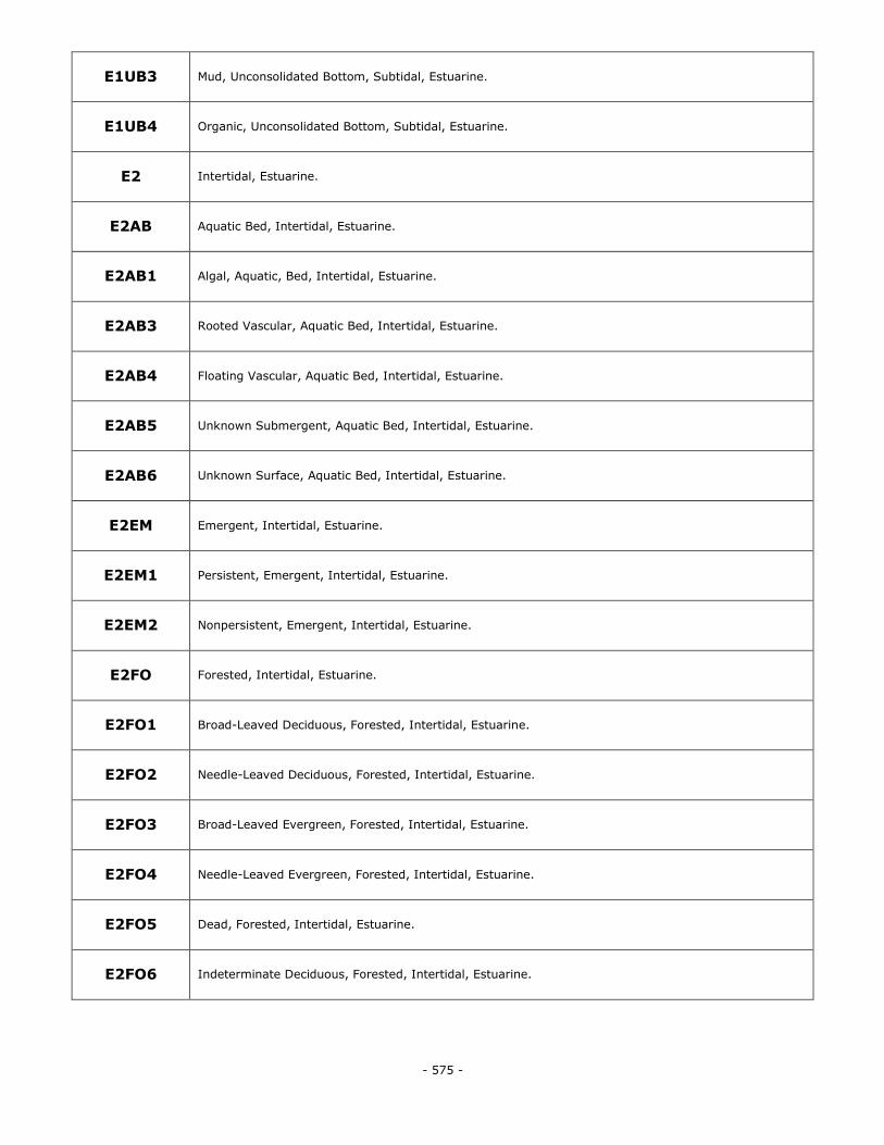
- 575 -
E1UB3 Mud, Unconsolidated Bottom, Subtidal, Estuarine.
E1UB4 Organic, Unconsolidated Bottom, Subtidal, Estuarine.
E2 Intertidal, Estuarine.
E2AB Aquatic Bed, Intertidal, Estuarine.
E2AB1 Algal, Aquatic, Bed, Intertidal, Estuarine.
E2AB3 Rooted Vascular, Aquatic Bed, Intertidal, Estuarine.
E2AB4 Floating Vascular, Aquatic Bed, Intertidal, Estuarine.
E2AB5 Unknown Submergent, Aquatic Bed, Intertidal, Estuarine.
E2AB6 Unknown Surface, Aquatic Bed, Intertidal, Estuarine.
E2EM Emergent, Intertidal, Estuarine.
E2EM1 Persistent, Emergent, Intertidal, Estuarine.
E2EM2 Nonpersistent, Emergent, Intertidal, Estuarine.
E2FO Forested, Intertidal, Estuarine.
E2FO1 Broad-Leaved Deciduous, Forested, Intertidal, Estuarine.
E2FO2 Needle-Leaved Deciduous, Forested, Intertidal, Estuarine.
E2FO3 Broad-Leaved Evergreen, Forested, Intertidal, Estuarine.
E2FO4 Needle-Leaved Evergreen, Forested, Intertidal, Estuarine.
E2FO5 Dead, Forested, Intertidal, Estuarine.
E2FO6 Indeterminate Deciduous, Forested, Intertidal, Estuarine.
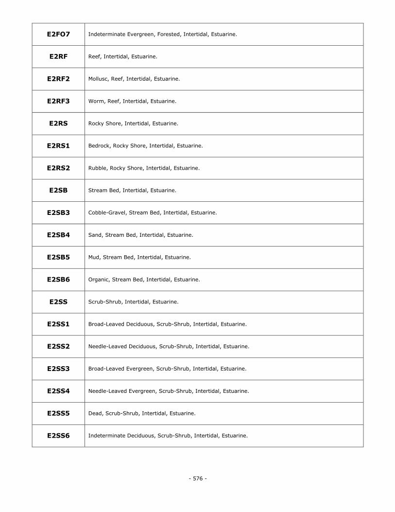
- 576 -
E2FO7 Indeterminate Evergreen, Forested, Intertidal, Estuarine.
E2RF Reef, Intertidal, Estuarine.
E2RF2 Mollusc, Reef, Intertidal, Estuarine.
E2RF3 Worm, Reef, Intertidal, Estuarine.
E2RS Rocky Shore, Intertidal, Estuarine.
E2RS1 Bedrock, Rocky Shore, Intertidal, Estuarine.
E2RS2 Rubble, Rocky Shore, Intertidal, Estuarine.
E2SB Stream Bed, Intertidal, Estuarine.
E2SB3 Cobble-Gravel, Stream Bed, Intertidal, Estuarine.
E2SB4 Sand, Stream Bed, Intertidal, Estuarine.
E2SB5 Mud, Stream Bed, Intertidal, Estuarine.
E2SB6 Organic, Stream Bed, Intertidal, Estuarine.
E2SS Scrub-Shrub, Intertidal, Estuarine.
E2SS1 Broad-Leaved Deciduous, Scrub-Shrub, Intertidal, Estuarine.
E2SS2 Needle-Leaved Deciduous, Scrub-Shrub, Intertidal, Estuarine.
E2SS3 Broad-Leaved Evergreen, Scrub-Shrub, Intertidal, Estuarine.
E2SS4 Needle-Leaved Evergreen, Scrub-Shrub, Intertidal, Estuarine.
E2SS5 Dead, Scrub-Shrub, Intertidal, Estuarine.
E2SS6 Indeterminate Deciduous, Scrub-Shrub, Intertidal, Estuarine.
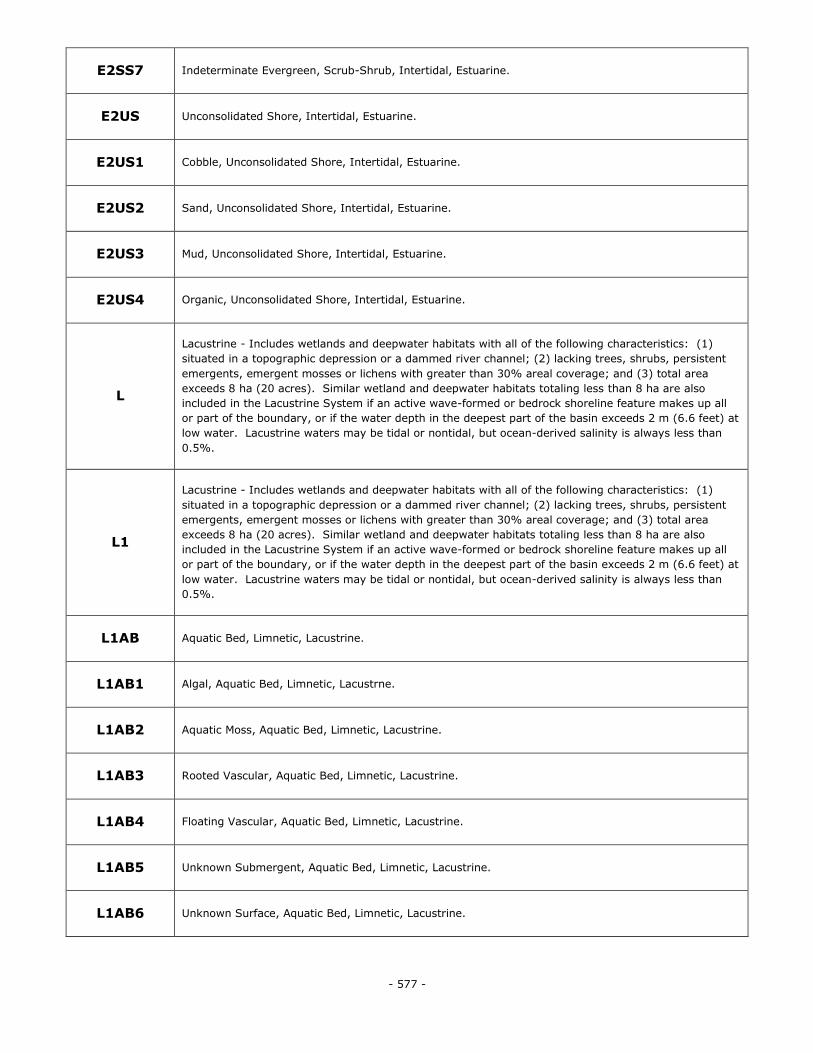
- 577 -
E2SS7 Indeterminate Evergreen, Scrub-Shrub, Intertidal, Estuarine.
E2US Unconsolidated Shore, Intertidal, Estuarine.
E2US1 Cobble, Unconsolidated Shore, Intertidal, Estuarine.
E2US2 Sand, Unconsolidated Shore, Intertidal, Estuarine.
E2US3 Mud, Unconsolidated Shore, Intertidal, Estuarine.
E2US4 Organic, Unconsolidated Shore, Intertidal, Estuarine.
L
Lacustrine - Includes wetlands and deepwater habitats with all of the following characteristics: (1)
situated in a topographic depression or a dammed river channel; (2) lacking trees, shrubs, persistent
emergents, emergent mosses or lichens with greater than 30% areal coverage; and (3) total area
exceeds 8 ha (20 acres). Similar wetland and deepwater habitats totaling less than 8 ha are also
included in the Lacustrine System if an active wave-formed or bedrock shoreline feature makes up all
or part of the boundary, or if the water depth in the deepest part of the basin exceeds 2 m (6.6 feet) at
low water. Lacustrine waters may be tidal or nontidal, but ocean-derived salinity is always less than
0.5%.
L1
Lacustrine - Includes wetlands and deepwater habitats with all of the following characteristics: (1)
situated in a topographic depression or a dammed river channel; (2) lacking trees, shrubs, persistent
emergents, emergent mosses or lichens with greater than 30% areal coverage; and (3) total area
exceeds 8 ha (20 acres). Similar wetland and deepwater habitats totaling less than 8 ha are also
included in the Lacustrine System if an active wave-formed or bedrock shoreline feature makes up all
or part of the boundary, or if the water depth in the deepest part of the basin exceeds 2 m (6.6 feet) at
low water. Lacustrine waters may be tidal or nontidal, but ocean-derived salinity is always less than
0.5%.
L1AB Aquatic Bed, Limnetic, Lacustrine.
L1AB1 Algal, Aquatic Bed, Limnetic, Lacustrne.
L1AB2 Aquatic Moss, Aquatic Bed, Limnetic, Lacustrine.
L1AB3 Rooted Vascular, Aquatic Bed, Limnetic, Lacustrine.
L1AB4 Floating Vascular, Aquatic Bed, Limnetic, Lacustrine.
L1AB5 Unknown Submergent, Aquatic Bed, Limnetic, Lacustrine.
L1AB6 Unknown Surface, Aquatic Bed, Limnetic, Lacustrine.
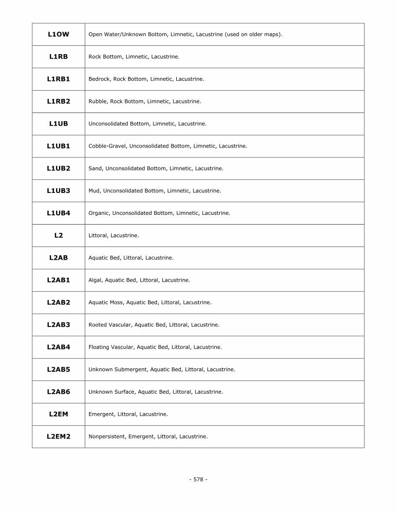
- 578 -
L1OW Open Water/Unknown Bottom, Limnetic, Lacustrine (used on older maps).
L1RB Rock Bottom, Limnetic, Lacustrine.
L1RB1 Bedrock, Rock Bottom, Limnetic, Lacustrine.
L1RB2 Rubble, Rock Bottom, Limnetic, Lacustrine.
L1UB Unconsolidated Bottom, Limnetic, Lacustrine.
L1UB1 Cobble-Gravel, Unconsolidated Bottom, Limnetic, Lacustrine.
L1UB2 Sand, Unconsolidated Bottom, Limnetic, Lacustrine.
L1UB3 Mud, Unconsolidated Bottom, Limnetic, Lacustrine.
L1UB4 Organic, Unconsolidated Bottom, Limnetic, Lacustrine.
L2 Littoral, Lacustrine.
L2AB Aquatic Bed, Littoral, Lacustrine.
L2AB1 Algal, Aquatic Bed, Littoral, Lacustrine.
L2AB2 Aquatic Moss, Aquatic Bed, Littoral, Lacustrine.
L2AB3 Rooted Vascular, Aquatic Bed, Littoral, Lacustrine.
L2AB4 Floating Vascular, Aquatic Bed, Littoral, Lacustrine.
L2AB5 Unknown Submergent, Aquatic Bed, Littoral, Lacustrine.
L2AB6 Unknown Surface, Aquatic Bed, Littoral, Lacustrine.
L2EM Emergent, Littoral, Lacustrine.
L2EM2 Nonpersistent, Emergent, Littoral, Lacustrine.
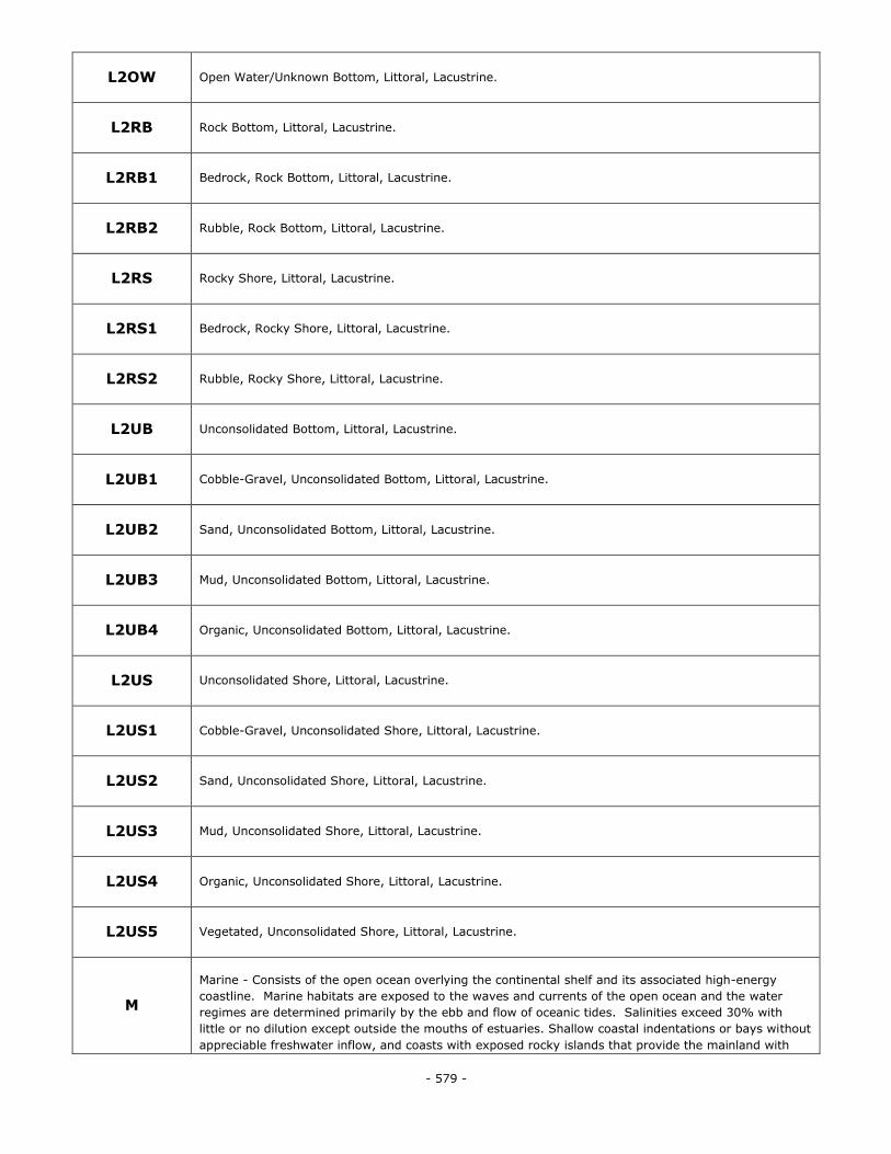
- 579 -
L2OW Open Water/Unknown Bottom, Littoral, Lacustrine.
L2RB Rock Bottom, Littoral, Lacustrine.
L2RB1 Bedrock, Rock Bottom, Littoral, Lacustrine.
L2RB2 Rubble, Rock Bottom, Littoral, Lacustrine.
L2RS Rocky Shore, Littoral, Lacustrine.
L2RS1 Bedrock, Rocky Shore, Littoral, Lacustrine.
L2RS2 Rubble, Rocky Shore, Littoral, Lacustrine.
L2UB Unconsolidated Bottom, Littoral, Lacustrine.
L2UB1 Cobble-Gravel, Unconsolidated Bottom, Littoral, Lacustrine.
L2UB2 Sand, Unconsolidated Bottom, Littoral, Lacustrine.
L2UB3 Mud, Unconsolidated Bottom, Littoral, Lacustrine.
L2UB4 Organic, Unconsolidated Bottom, Littoral, Lacustrine.
L2US Unconsolidated Shore, Littoral, Lacustrine.
L2US1 Cobble-Gravel, Unconsolidated Shore, Littoral, Lacustrine.
L2US2 Sand, Unconsolidated Shore, Littoral, Lacustrine.
L2US3 Mud, Unconsolidated Shore, Littoral, Lacustrine.
L2US4 Organic, Unconsolidated Shore, Littoral, Lacustrine.
L2US5 Vegetated, Unconsolidated Shore, Littoral, Lacustrine.
M
Marine - Consists of the open ocean overlying the continental shelf and its associated high-energy
coastline. Marine habitats are exposed to the waves and currents of the open ocean and the water
regimes are determined primarily by the ebb and flow of oceanic tides. Salinities exceed 30% with
little or no dilution except outside the mouths of estuaries. Shallow coastal indentations or bays without
appreciable freshwater inflow, and coasts with exposed rocky islands that provide the mainland with
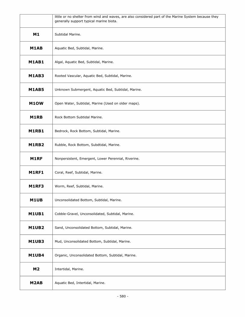
- 580 -
little or no shelter from wind and waves, are also considered part of the Marine System because they
generally support typical marine biota.
M1 Subtidal Marine.
M1AB Aquatic Bed, Subtidal, Marine.
M1AB1 Algal, Aquatic Bed, Subtidal, Marine.
M1AB3 Rooted Vascular, Aquatic Bed, Subtidal, Marine.
M1AB5 Unknown Submergent, Aquatic Bed, Subtidal, Marine.
M1OW Open Water, Subtidal, Marine (Used on older maps).
M1RB Rock Bottom Subtidal Marine.
M1RB1 Bedrock, Rock Bottom, Subtidal, Marine.
M1RB2 Rubble, Rock Bottom, Subdtidal, Marine.
M1RF Nonpersistent, Emergent, Lower Perennial, Riverine.
M1RF1 Coral, Reef, Subtidal, Marine.
M1RF3 Worm, Reef, Subtidal, Marine.
M1UB Unconsolidated Bottom, Subtidal, Marine.
M1UB1 Cobble-Gravel, Unconsolidated, Subtidal, Marine.
M1UB2 Sand, Unconsolidated Bottom, Subtidal, Marine.
M1UB3 Mud, Unconsolidated Bottom, Subtidal, Marine.
M1UB4 Organic, Unconsolidated Bottom, Subtidal, Marine.
M2 Intertidal, Marine.
M2AB Aquatic Bed, Intertidal, Marine.
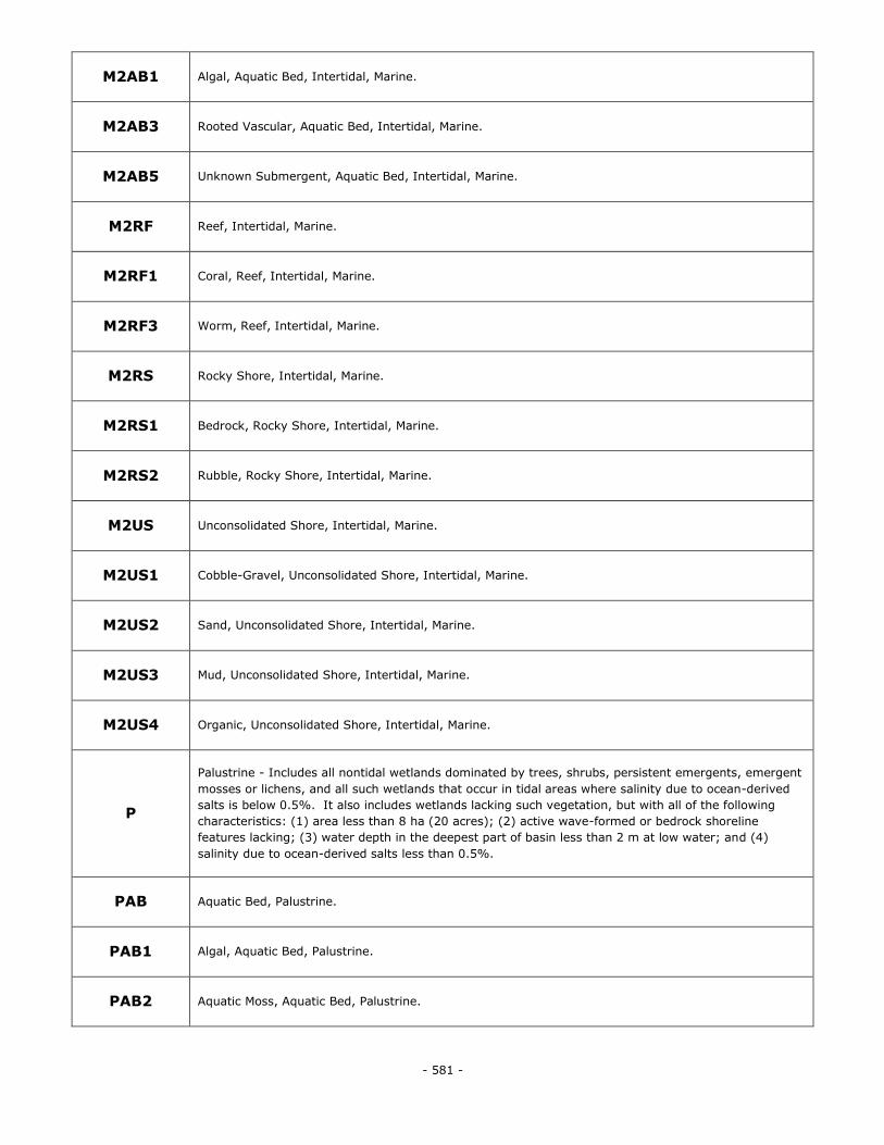
- 581 -
M2AB1 Algal, Aquatic Bed, Intertidal, Marine.
M2AB3 Rooted Vascular, Aquatic Bed, Intertidal, Marine.
M2AB5 Unknown Submergent, Aquatic Bed, Intertidal, Marine.
M2RF Reef, Intertidal, Marine.
M2RF1 Coral, Reef, Intertidal, Marine.
M2RF3 Worm, Reef, Intertidal, Marine.
M2RS Rocky Shore, Intertidal, Marine.
M2RS1 Bedrock, Rocky Shore, Intertidal, Marine.
M2RS2 Rubble, Rocky Shore, Intertidal, Marine.
M2US Unconsolidated Shore, Intertidal, Marine.
M2US1 Cobble-Gravel, Unconsolidated Shore, Intertidal, Marine.
M2US2 Sand, Unconsolidated Shore, Intertidal, Marine.
M2US3 Mud, Unconsolidated Shore, Intertidal, Marine.
M2US4 Organic, Unconsolidated Shore, Intertidal, Marine.
P
Palustrine - Includes all nontidal wetlands dominated by trees, shrubs, persistent emergents, emergent
mosses or lichens, and all such wetlands that occur in tidal areas where salinity due to ocean-derived
salts is below 0.5%. It also includes wetlands lacking such vegetation, but with all of the following
characteristics: (1) area less than 8 ha (20 acres); (2) active wave-formed or bedrock shoreline
features lacking; (3) water depth in the deepest part of basin less than 2 m at low water; and (4)
salinity due to ocean-derived salts less than 0.5%.
PAB Aquatic Bed, Palustrine.
PAB1 Algal, Aquatic Bed, Palustrine.
PAB2 Aquatic Moss, Aquatic Bed, Palustrine.
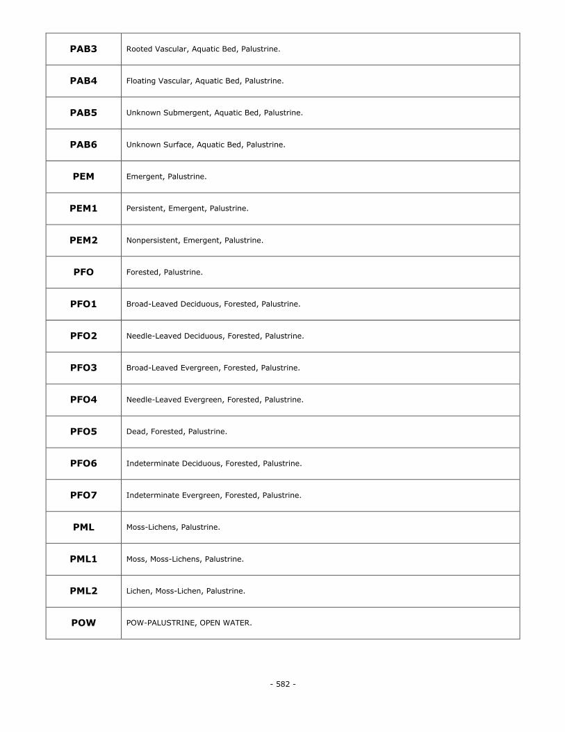
- 582 -
PAB3 Rooted Vascular, Aquatic Bed, Palustrine.
PAB4 Floating Vascular, Aquatic Bed, Palustrine.
PAB5 Unknown Submergent, Aquatic Bed, Palustrine.
PAB6 Unknown Surface, Aquatic Bed, Palustrine.
PEM Emergent, Palustrine.
PEM1 Persistent, Emergent, Palustrine.
PEM2 Nonpersistent, Emergent, Palustrine.
PFO Forested, Palustrine.
PFO1 Broad-Leaved Deciduous, Forested, Palustrine.
PFO2 Needle-Leaved Deciduous, Forested, Palustrine.
PFO3 Broad-Leaved Evergreen, Forested, Palustrine.
PFO4 Needle-Leaved Evergreen, Forested, Palustrine.
PFO5 Dead, Forested, Palustrine.
PFO6 Indeterminate Deciduous, Forested, Palustrine.
PFO7 Indeterminate Evergreen, Forested, Palustrine.
PML Moss-Lichens, Palustrine.
PML1 Moss, Moss-Lichens, Palustrine.
PML2 Lichen, Moss-Lichen, Palustrine.
POW POW-PALUSTRINE, OPEN WATER.
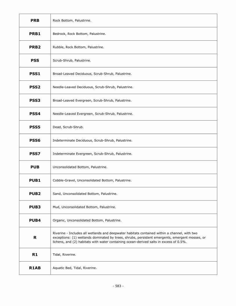
- 583 -
PRB Rock Bottom, Palustrine.
PRB1 Bedrock, Rock Bottom, Palustrine.
PRB2 Rubble, Rock Bottom, Palustrine.
PSS Scrub-Shrub, Palustrine.
PSS1 Broad-Leaved Deciduous, Scrub-Shrub, Palustrine.
PSS2 Needle-Leaved Deciduous, Scrub-Shrub, Palustrine.
PSS3 Broad-Leaved Evergreen, Scrub-Shrub, Palustrine.
PSS4 Needle-Leaved Evergreen, Scrub-Shrub, Palustrine.
PSS5 Dead, Scrub-Shrub.
PSS6 Indeterminate Deciduous, Scrub-Shrub, Palustrine.
PSS7 Indeterminate Evergreen, Scrub-Shrub, Palustrine.
PUB Unconsolidated Bottom, Palustrine.
PUB1 Cobble-Gravel, Unconsolidated Bottom, Palustrine.
PUB2 Sand, Unconsolidated Bottom, Palustrine.
PUB3 Mud, Unconsolidated Bottom, Palustrine.
PUB4 Organic, Unconsolidated Bottom, Palustrine.
R Riverine - Includes all wetlands and deepwater habitats contained within a channel, with two
exceptions: (1) wetlands dominated by trees, shrubs, persistent emergents, emergent mosses, or
lichens, and (2) habitats with water containing ocean-derived salts in excess of 0.5%.
R1 Tidal, Riverine.
R1AB Aquatic Bed, Tidal, Riverine.
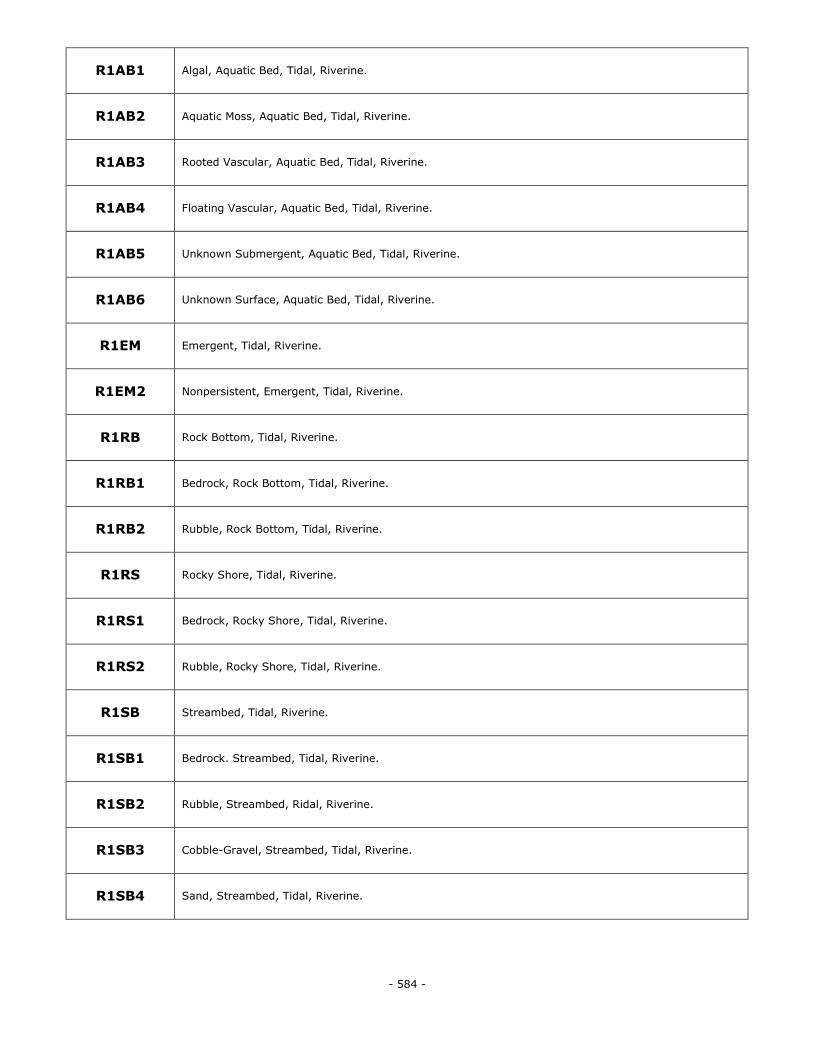
- 584 -
R1AB1 Algal, Aquatic Bed, Tidal, Riverine.
R1AB2 Aquatic Moss, Aquatic Bed, Tidal, Riverine.
R1AB3 Rooted Vascular, Aquatic Bed, Tidal, Riverine.
R1AB4 Floating Vascular, Aquatic Bed, Tidal, Riverine.
R1AB5 Unknown Submergent, Aquatic Bed, Tidal, Riverine.
R1AB6 Unknown Surface, Aquatic Bed, Tidal, Riverine.
R1EM Emergent, Tidal, Riverine.
R1EM2 Nonpersistent, Emergent, Tidal, Riverine.
R1RB Rock Bottom, Tidal, Riverine.
R1RB1 Bedrock, Rock Bottom, Tidal, Riverine.
R1RB2 Rubble, Rock Bottom, Tidal, Riverine.
R1RS Rocky Shore, Tidal, Riverine.
R1RS1 Bedrock, Rocky Shore, Tidal, Riverine.
R1RS2 Rubble, Rocky Shore, Tidal, Riverine.
R1SB Streambed, Tidal, Riverine.
R1SB1 Bedrock. Streambed, Tidal, Riverine.
R1SB2 Rubble, Streambed, Ridal, Riverine.
R1SB3 Cobble-Gravel, Streambed, Tidal, Riverine.
R1SB4 Sand, Streambed, Tidal, Riverine.
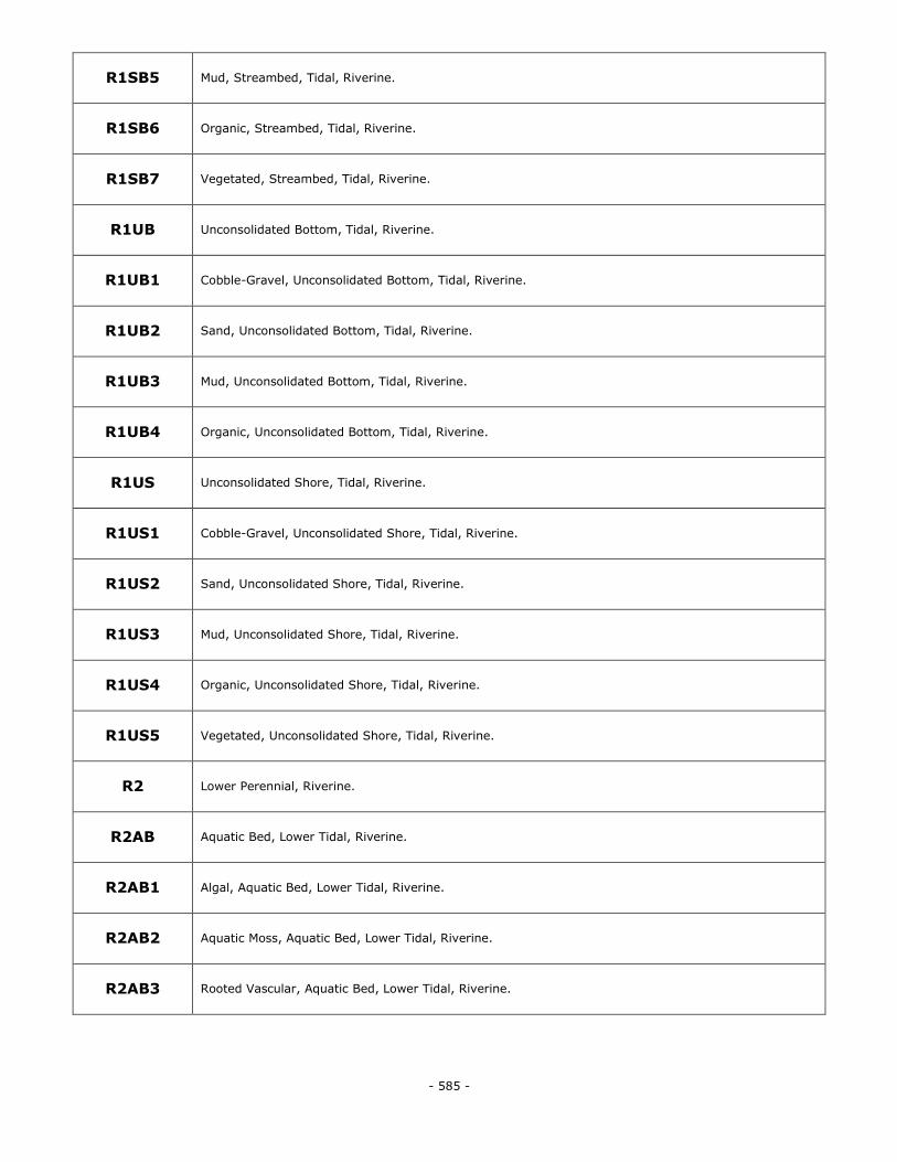
- 585 -
R1SB5 Mud, Streambed, Tidal, Riverine.
R1SB6 Organic, Streambed, Tidal, Riverine.
R1SB7 Vegetated, Streambed, Tidal, Riverine.
R1UB Unconsolidated Bottom, Tidal, Riverine.
R1UB1 Cobble-Gravel, Unconsolidated Bottom, Tidal, Riverine.
R1UB2 Sand, Unconsolidated Bottom, Tidal, Riverine.
R1UB3 Mud, Unconsolidated Bottom, Tidal, Riverine.
R1UB4 Organic, Unconsolidated Bottom, Tidal, Riverine.
R1US Unconsolidated Shore, Tidal, Riverine.
R1US1 Cobble-Gravel, Unconsolidated Shore, Tidal, Riverine.
R1US2 Sand, Unconsolidated Shore, Tidal, Riverine.
R1US3 Mud, Unconsolidated Shore, Tidal, Riverine.
R1US4 Organic, Unconsolidated Shore, Tidal, Riverine.
R1US5 Vegetated, Unconsolidated Shore, Tidal, Riverine.
R2 Lower Perennial, Riverine.
R2AB Aquatic Bed, Lower Tidal, Riverine.
R2AB1 Algal, Aquatic Bed, Lower Tidal, Riverine.
R2AB2 Aquatic Moss, Aquatic Bed, Lower Tidal, Riverine.
R2AB3 Rooted Vascular, Aquatic Bed, Lower Tidal, Riverine.
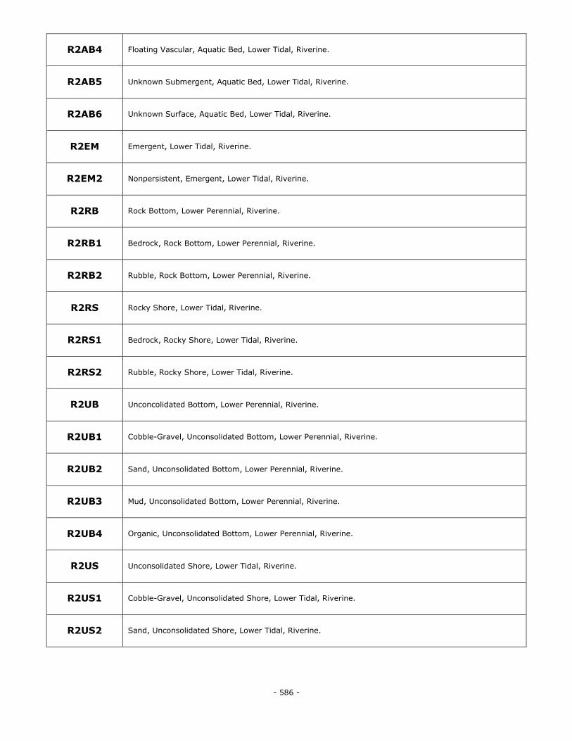
- 586 -
R2AB4 Floating Vascular, Aquatic Bed, Lower Tidal, Riverine.
R2AB5 Unknown Submergent, Aquatic Bed, Lower Tidal, Riverine.
R2AB6 Unknown Surface, Aquatic Bed, Lower Tidal, Riverine.
R2EM Emergent, Lower Tidal, Riverine.
R2EM2 Nonpersistent, Emergent, Lower Tidal, Riverine.
R2RB Rock Bottom, Lower Perennial, Riverine.
R2RB1 Bedrock, Rock Bottom, Lower Perennial, Riverine.
R2RB2 Rubble, Rock Bottom, Lower Perennial, Riverine.
R2RS Rocky Shore, Lower Tidal, Riverine.
R2RS1 Bedrock, Rocky Shore, Lower Tidal, Riverine.
R2RS2 Rubble, Rocky Shore, Lower Tidal, Riverine.
R2UB Unconcolidated Bottom, Lower Perennial, Riverine.
R2UB1 Cobble-Gravel, Unconsolidated Bottom, Lower Perennial, Riverine.
R2UB2 Sand, Unconsolidated Bottom, Lower Perennial, Riverine.
R2UB3 Mud, Unconsolidated Bottom, Lower Perennial, Riverine.
R2UB4 Organic, Unconsolidated Bottom, Lower Perennial, Riverine.
R2US Unconsolidated Shore, Lower Tidal, Riverine.
R2US1 Cobble-Gravel, Unconsolidated Shore, Lower Tidal, Riverine.
R2US2 Sand, Unconsolidated Shore, Lower Tidal, Riverine.
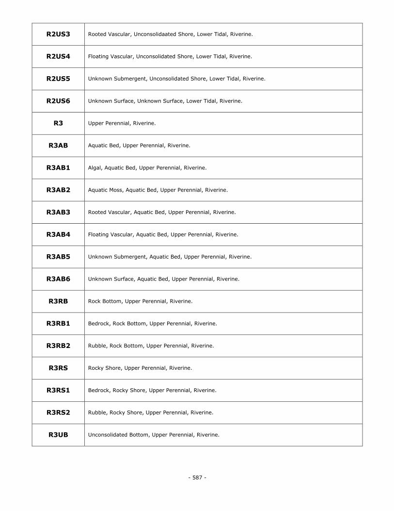
- 587 -
R2US3 Rooted Vascular, Unconsolidaated Shore, Lower Tidal, Riverine.
R2US4 Floating Vascular, Unconsolidated Shore, Lower Tidal, Riverine.
R2US5 Unknown Submergent, Unconsolidated Shore, Lower Tidal, Riverine.
R2US6 Unknown Surface, Unknown Surface, Lower Tidal, Riverine.
R3 Upper Perennial, Riverine.
R3AB Aquatic Bed, Upper Perennial, Riverine.
R3AB1 Algal, Aquatic Bed, Upper Perennial, Riverine.
R3AB2 Aquatic Moss, Aquatic Bed, Upper Perennial, Riverine.
R3AB3 Rooted Vascular, Aquatic Bed, Upper Perennial, Riverine.
R3AB4 Floating Vascular, Aquatic Bed, Upper Perennial, Riverine.
R3AB5 Unknown Submergent, Aquatic Bed, Upper Perennial, Riverine.
R3AB6 Unknown Surface, Aquatic Bed, Upper Perennial, Riverine.
R3RB Rock Bottom, Upper Perennial, Riverine.
R3RB1 Bedrock, Rock Bottom, Upper Perennial, Riverine.
R3RB2 Rubble, Rock Bottom, Upper Perennial, Riverine.
R3RS Rocky Shore, Upper Perennial, Riverine.
R3RS1 Bedrock, Rocky Shore, Upper Perennial, Riverine.
R3RS2 Rubble, Rocky Shore, Upper Perennial, Riverine.
R3UB Unconsolidated Bottom, Upper Perennial, Riverine.
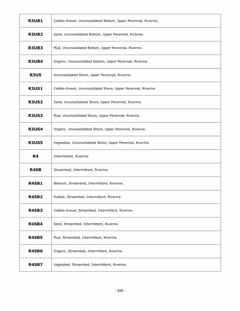
- 588 -
R3UB1 Cobble-Gravel, Unconsolidated Bottom, Upper Perennial, Riverine.
R3UB2 Sand, Unconsolidated Bottom, Upper Perennial, Riverine.
R3UB3 Mud, Unconsolidated Bottom, Upper Perennial, Riverine.
R3UB4 Organic, Unconsolidated Bottom, Upper Perennial, Riverine.
R3US Unconsolidated Shore, Upper Perennial, Riverine.
R3US1 Cobble-Gravel, Unconsolidated Shore, Upper Perennial, Riverine.
R3US2 Sand, Unconsolidated Shore, Upper Perennial, Riverine.
R3US3 Mud, Unconsolidated Shore, Upper Perennial, Riverine.
R3US4 Organic, Unconsolidated Shore, Upper Perennial, Riverine.
R3US5 Vegetated, Unconsolidated Shore, Upper Perennial, Riverine.
R4 Intermittent, Riverine.
R4SB Streambed, Intermittent, Riverine.
R4SB1 Bedrock, Streambed, Intermittent, Riverine.
R4SB2 Rubble, Streambed, Intermittent, Riverine.
R4SB3 Cobble-Gravel, Streambed, Intermittent, Riverine.
R4SB4 Sand, Streambed, Intermittent, Riverine.
R4SB5 Mud, Streambed, Intermittent, Riverine.
R4SB6 Organic, Streambed, Intermittent, Riverine.
R4SB7 Vegetated, Streambed, Intermittent, Riverine.
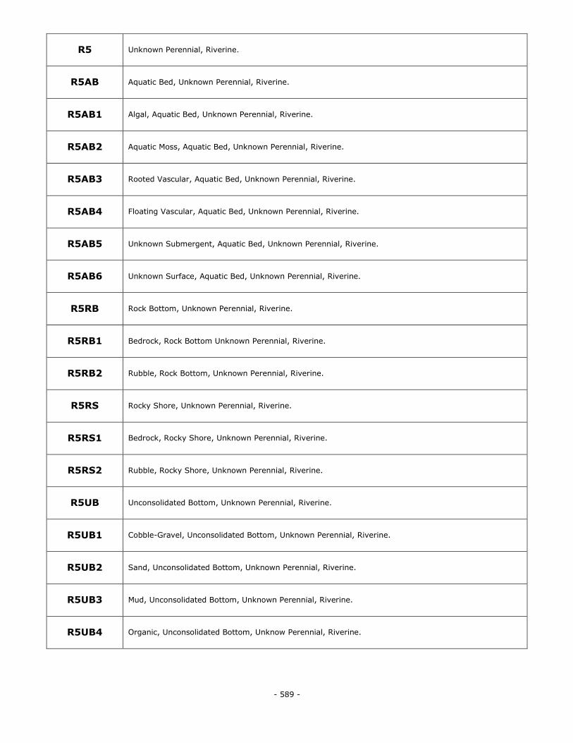
- 589 -
R5 Unknown Perennial, Riverine.
R5AB Aquatic Bed, Unknown Perennial, Riverine.
R5AB1 Algal, Aquatic Bed, Unknown Perennial, Riverine.
R5AB2 Aquatic Moss, Aquatic Bed, Unknown Perennial, Riverine.
R5AB3 Rooted Vascular, Aquatic Bed, Unknown Perennial, Riverine.
R5AB4 Floating Vascular, Aquatic Bed, Unknown Perennial, Riverine.
R5AB5 Unknown Submergent, Aquatic Bed, Unknown Perennial, Riverine.
R5AB6 Unknown Surface, Aquatic Bed, Unknown Perennial, Riverine.
R5RB Rock Bottom, Unknown Perennial, Riverine.
R5RB1 Bedrock, Rock Bottom Unknown Perennial, Riverine.
R5RB2 Rubble, Rock Bottom, Unknown Perennial, Riverine.
R5RS Rocky Shore, Unknown Perennial, Riverine.
R5RS1 Bedrock, Rocky Shore, Unknown Perennial, Riverine.
R5RS2 Rubble, Rocky Shore, Unknown Perennial, Riverine.
R5UB Unconsolidated Bottom, Unknown Perennial, Riverine.
R5UB1 Cobble-Gravel, Unconsolidated Bottom, Unknown Perennial, Riverine.
R5UB2 Sand, Unconsolidated Bottom, Unknown Perennial, Riverine.
R5UB3 Mud, Unconsolidated Bottom, Unknown Perennial, Riverine.
R5UB4 Organic, Unconsolidated Bottom, Unknow Perennial, Riverine.
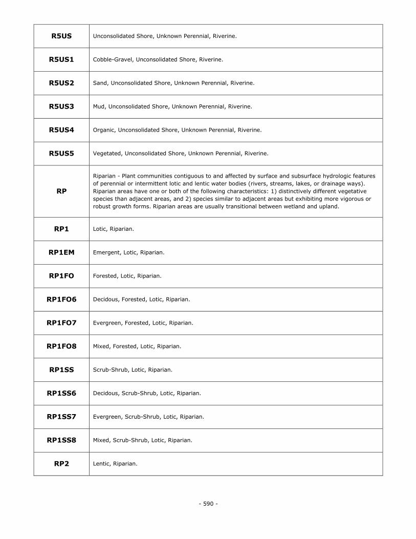
- 590 -
R5US Unconsolidated Shore, Unknown Perennial, Riverine.
R5US1 Cobble-Gravel, Unconsolidated Shore, Riverine.
R5US2 Sand, Unconsolidated Shore, Unknown Perennial, Riverine.
R5US3 Mud, Unconsolidated Shore, Unknown Perennial, Riverine.
R5US4 Organic, Unconsolidated Shore, Unknown Perennial, Riverine.
R5US5 Vegetated, Unconsolidated Shore, Unknown Perennial, Riverine.
RP
Riparian - Plant communities contiguous to and affected by surface and subsurface hydrologic features
of perennial or intermittent lotic and lentic water bodies (rivers, streams, lakes, or drainage ways).
Riparian areas have one or both of the following characteristics: 1) distinctively different vegetative
species than adjacent areas, and 2) species similar to adjacent areas but exhibiting more vigorous or
robust growth forms. Riparian areas are usually transitional between wetland and upland.
RP1 Lotic, Riparian.
RP1EM Emergent, Lotic, Riparian.
RP1FO Forested, Lotic, Riparian.
RP1FO6 Decidous, Forested, Lotic, Riparian.
RP1FO7 Evergreen, Forested, Lotic, Riparian.
RP1FO8 Mixed, Forested, Lotic, Riparian.
RP1SS Scrub-Shrub, Lotic, Riparian.
RP1SS6 Decidous, Scrub-Shrub, Lotic, Riparian.
RP1SS7 Evergreen, Scrub-Shrub, Lotic, Riparian.
RP1SS8 Mixed, Scrub-Shrub, Lotic, Riparian.
RP2 Lentic, Riparian.
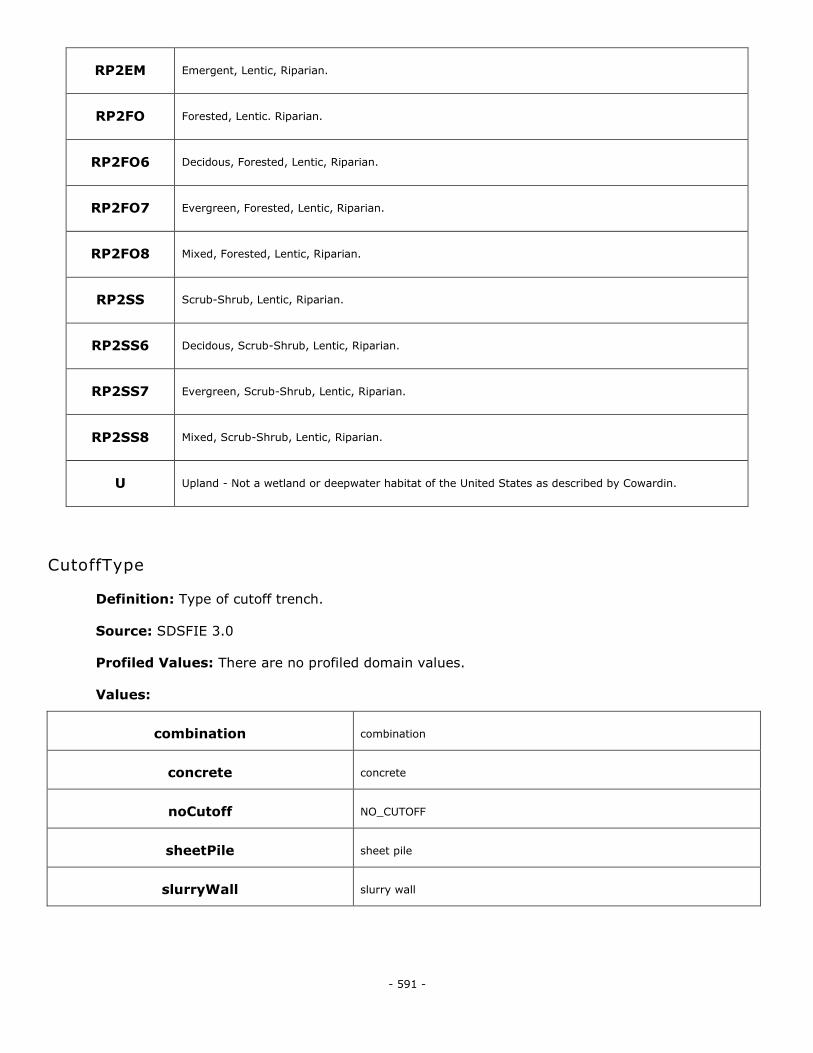
- 591 -
RP2EM Emergent, Lentic, Riparian.
RP2FO Forested, Lentic. Riparian.
RP2FO6 Decidous, Forested, Lentic, Riparian.
RP2FO7 Evergreen, Forested, Lentic, Riparian.
RP2FO8 Mixed, Forested, Lentic, Riparian.
RP2SS Scrub-Shrub, Lentic, Riparian.
RP2SS6 Decidous, Scrub-Shrub, Lentic, Riparian.
RP2SS7 Evergreen, Scrub-Shrub, Lentic, Riparian.
RP2SS8 Mixed, Scrub-Shrub, Lentic, Riparian.
U Upland - Not a wetland or deepwater habitat of the United States as described by Cowardin.
CutoffType
Definition: Type of cutoff trench.
Source: SDSFIE 3.0
Profiled Values: There are no profiled domain values.
Values:
combination combination
concrete concrete
noCutoff NO_CUTOFF
sheetPile sheet pile
slurryWall slurry wall
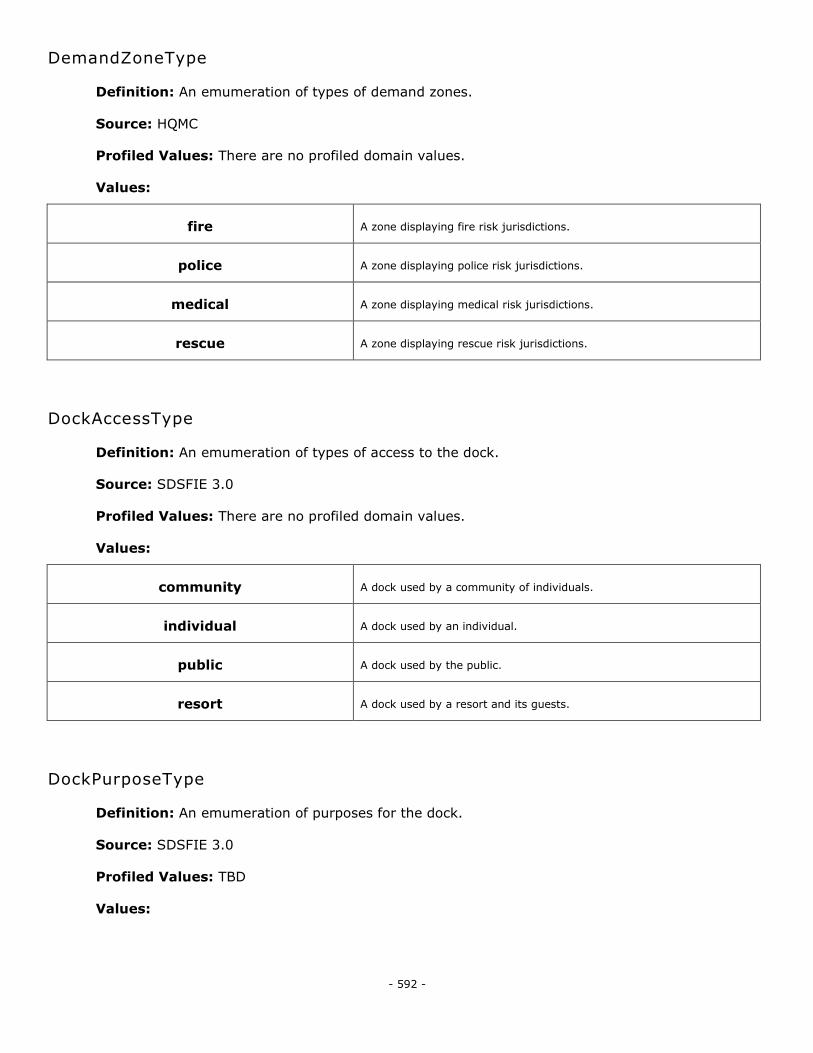
- 592 -
DemandZoneType
Definition: An emumeration of types of demand zones.
Source: HQMC
Profiled Values: There are no profiled domain values.
Values:
fire A zone displaying fire risk jurisdictions.
police A zone displaying police risk jurisdictions.
medical A zone displaying medical risk jurisdictions.
rescue A zone displaying rescue risk jurisdictions.
DockAccessType
Definition: An emumeration of types of access to the dock.
Source: SDSFIE 3.0
Profiled Values: There are no profiled domain values.
Values:
community A dock used by a community of individuals.
individual A dock used by an individual.
public A dock used by the public.
resort A dock used by a resort and its guests.
DockPurposeType
Definition: An emumeration of purposes for the dock.
Source: SDSFIE 3.0
Profiled Values: TBD
Values:
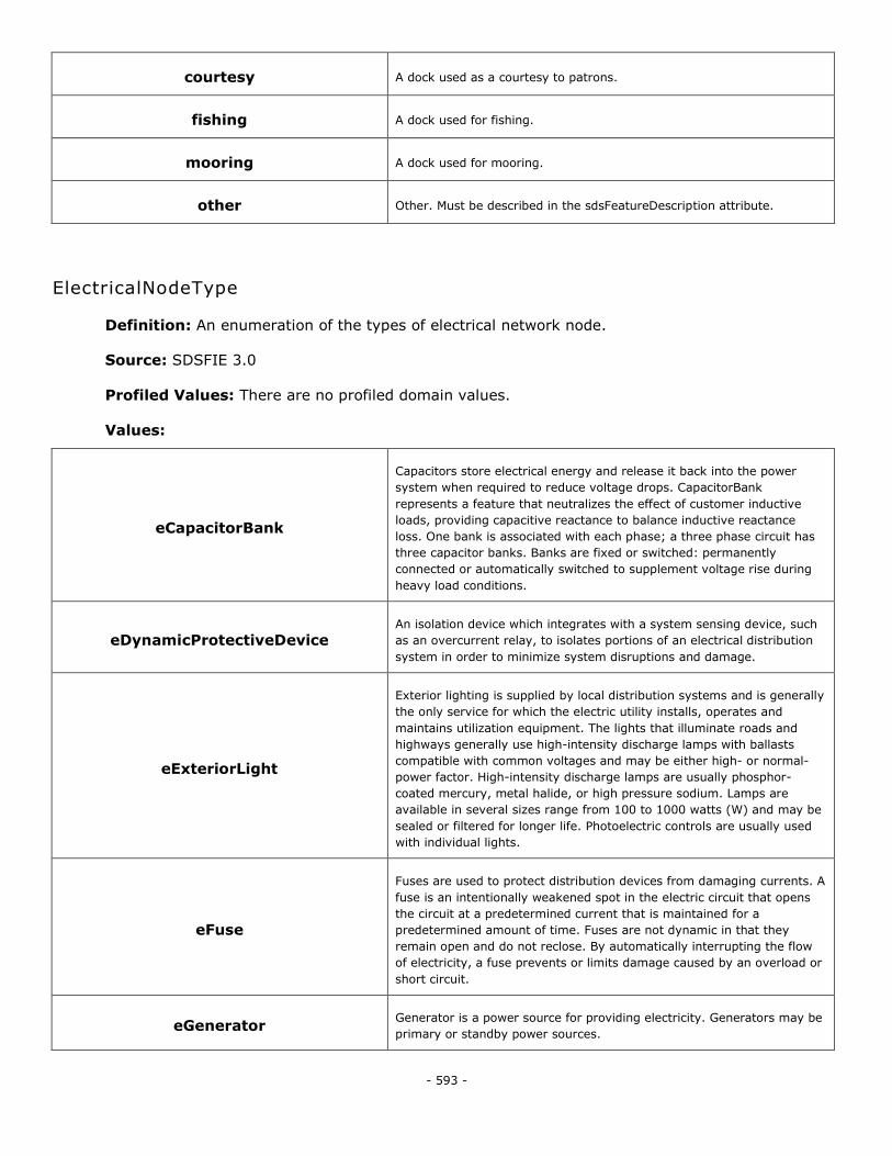
- 593 -
courtesy A dock used as a courtesy to patrons.
fishing A dock used for fishing.
mooring A dock used for mooring.
other Other. Must be described in the sdsFeatureDescription attribute.
ElectricalNodeType
Definition: An enumeration of the types of electrical network node.
Source: SDSFIE 3.0
Profiled Values: There are no profiled domain values.
Values:
eCapacitorBank
Capacitors store electrical energy and release it back into the power
system when required to reduce voltage drops. CapacitorBank
represents a feature that neutralizes the effect of customer inductive
loads, providing capacitive reactance to balance inductive reactance
loss. One bank is associated with each phase; a three phase circuit has
three capacitor banks. Banks are fixed or switched: permanently
connected or automatically switched to supplement voltage rise during
heavy load conditions.
eDynamicProtectiveDevice An isolation device which integrates with a system sensing device, such
as an overcurrent relay, to isolates portions of an electrical distribution
system in order to minimize system disruptions and damage.
eExteriorLight
Exterior lighting is supplied by local distribution systems and is generally
the only service for which the electric utility installs, operates and
maintains utilization equipment. The lights that illuminate roads and
highways generally use high-intensity discharge lamps with ballasts
compatible with common voltages and may be either high- or normal-
power factor. High-intensity discharge lamps are usually phosphor-
coated mercury, metal halide, or high pressure sodium. Lamps are
available in several sizes range from 100 to 1000 watts (W) and may be
sealed or filtered for longer life. Photoelectric controls are usually used
with individual lights.
eFuse
Fuses are used to protect distribution devices from damaging currents. A
fuse is an intentionally weakened spot in the electric circuit that opens
the circuit at a predetermined current that is maintained for a
predetermined amount of time. Fuses are not dynamic in that they
remain open and do not reclose. By automatically interrupting the flow
of electricity, a fuse prevents or limits damage caused by an overload or
short circuit.
eGenerator Generator is a power source for providing electricity. Generators may be
primary or standby power sources.
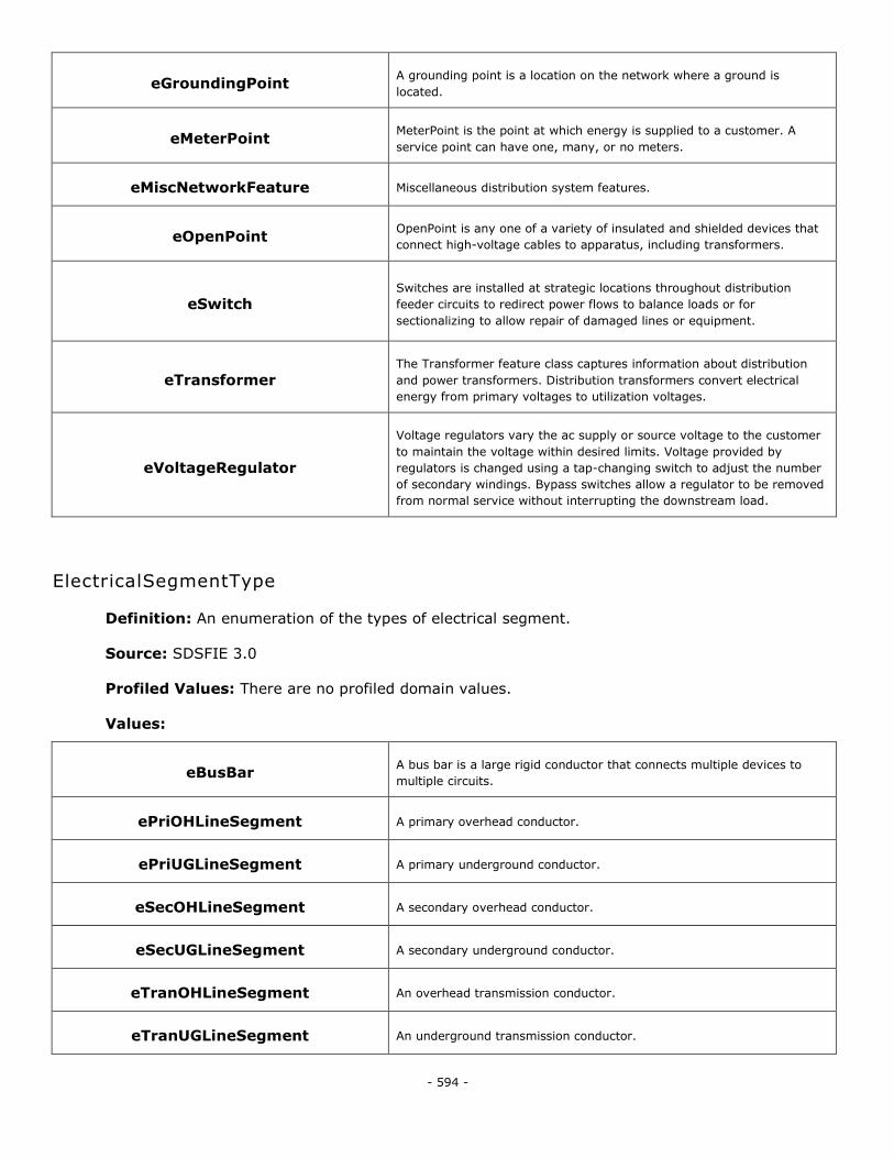
- 594 -
eGroundingPoint A grounding point is a location on the network where a ground is
located.
eMeterPoint MeterPoint is the point at which energy is supplied to a customer. A
service point can have one, many, or no meters.
eMiscNetworkFeature Miscellaneous distribution system features.
eOpenPoint OpenPoint is any one of a variety of insulated and shielded devices that
connect high-voltage cables to apparatus, including transformers.
eSwitch Switches are installed at strategic locations throughout distribution
feeder circuits to redirect power flows to balance loads or for
sectionalizing to allow repair of damaged lines or equipment.
eTransformer The Transformer feature class captures information about distribution
and power transformers. Distribution transformers convert electrical
energy from primary voltages to utilization voltages.
eVoltageRegulator
Voltage regulators vary the ac supply or source voltage to the customer
to maintain the voltage within desired limits. Voltage provided by
regulators is changed using a tap-changing switch to adjust the number
of secondary windings. Bypass switches allow a regulator to be removed
from normal service without interrupting the downstream load.
ElectricalSegmentType
Definition: An enumeration of the types of electrical segment.
Source: SDSFIE 3.0
Profiled Values: There are no profiled domain values.
Values:
eBusBar A bus bar is a large rigid conductor that connects multiple devices to
multiple circuits.
ePriOHLineSegment A primary overhead conductor.
ePriUGLineSegment A primary underground conductor.
eSecOHLineSegment A secondary overhead conductor.
eSecUGLineSegment A secondary underground conductor.
eTranOHLineSegment An overhead transmission conductor.
eTranUGLineSegment An underground transmission conductor.
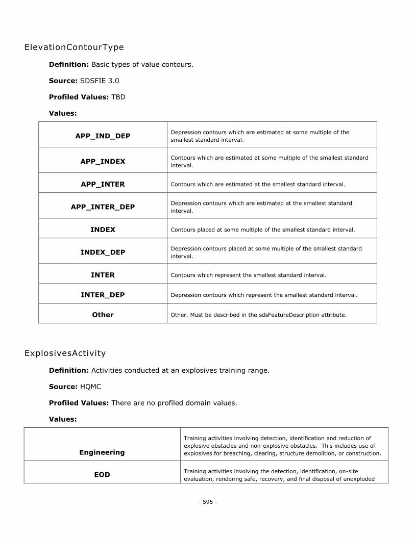
- 595 -
ElevationContourType
Definition: Basic types of value contours.
Source: SDSFIE 3.0
Profiled Values: TBD
Values:
APP_IND_DEP Depression contours which are estimated at some multiple of the
smallest standard interval.
APP_INDEX Contours which are estimated at some multiple of the smallest standard
interval.
APP_INTER Contours which are estimated at the smallest standard interval.
APP_INTER_DEP Depression contours which are estimated at the smallest standard
interval.
INDEX Contours placed at some multiple of the smallest standard interval.
INDEX_DEP Depression contours placed at some multiple of the smallest standard
interval.
INTER Contours which represent the smallest standard interval.
INTER_DEP Depression contours which represent the smallest standard interval.
Other Other. Must be described in the sdsFeatureDescription attribute.
ExplosivesActivity
Definition: Activities conducted at an explosives training range.
Source: HQMC
Profiled Values: There are no profiled domain values.
Values:
Engineering
Training activities involving detection, identification and reduction of
explosive obstacles and non-explosive obstacles. This includes use of
explosives for breaching, clearing, structure demolition, or construction.
EOD Training activities involving the detection, identification, on-site
evaluation, rendering safe, recovery, and final disposal of unexploded
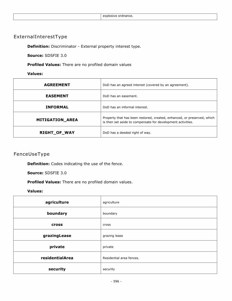
- 596 -
explosive ordnance.
ExternalInterestType
Definition: Discriminator - External property interest type.
Source: SDSFIE 3.0
Profiled Values: There are no profiled domain values
Values:
AGREEMENT DoD has an agreed interest (covered by an agreement).
EASEMENT DoD has an easement.
INFORMAL DoD has an informal interest.
MITIGATION_AREA Property that has been restored, created, enhanced, or preserved, which
is then set aside to compensate for development activities.
RIGHT_OF_WAY DoD has a deeded right of way.
FenceUseType
Definition: Codes indicating the use of the fence.
Source: SDSFIE 3.0
Profiled Values: There are no profiled domain values.
Values:
agriculture agriculture
boundary boundary
cross cross
grazingLease grazing lease
private private
residentialArea Residential area fences.
security security
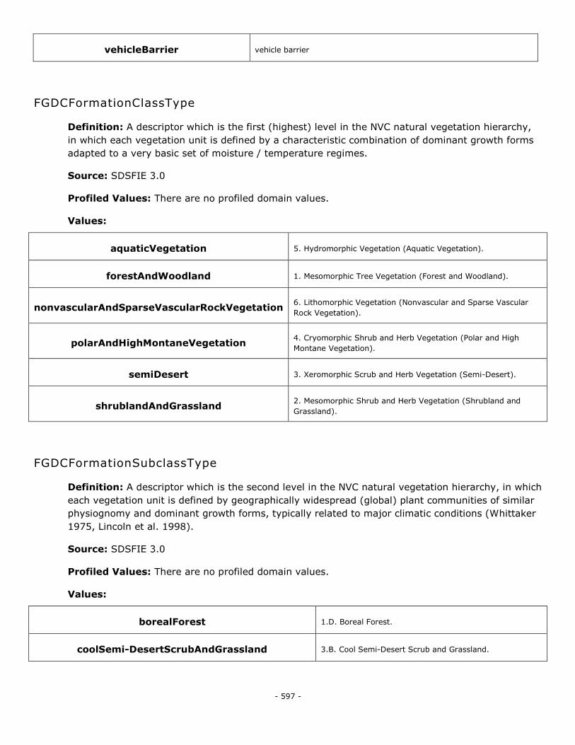
- 597 -
vehicleBarrier vehicle barrier
FGDCFormationClassType
Definition: A descriptor which is the first (highest) level in the NVC natural vegetation hierarchy,
in which each vegetation unit is defined by a characteristic combination of dominant growth forms
adapted to a very basic set of moisture / temperature regimes.
Source: SDSFIE 3.0
Profiled Values: There are no profiled domain values.
Values:
aquaticVegetation 5. Hydromorphic Vegetation (Aquatic Vegetation).
forestAndWoodland 1. Mesomorphic Tree Vegetation (Forest and Woodland).
nonvascularAndSparseVascularRockVegetation 6. Lithomorphic Vegetation (Nonvascular and Sparse Vascular
Rock Vegetation).
polarAndHighMontaneVegetation 4. Cryomorphic Shrub and Herb Vegetation (Polar and High
Montane Vegetation).
semiDesert 3. Xeromorphic Scrub and Herb Vegetation (Semi-Desert).
shrublandAndGrassland 2. Mesomorphic Shrub and Herb Vegetation (Shrubland and
Grassland).
FGDCFormationSubclassType
Definition: A descriptor which is the second level in the NVC natural vegetation hierarchy, in which
each vegetation unit is defined by geographically widespread (global) plant communities of similar
physiognomy and dominant growth forms, typically related to major climatic conditions (Whittaker
1975, Lincoln et al. 1998).
Source: SDSFIE 3.0
Profiled Values: There are no profiled domain values.
Values:
borealForest 1.D. Boreal Forest.
coolSemi-DesertScrubAndGrassland 3.B. Cool Semi-Desert Scrub and Grassland.
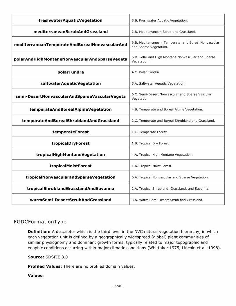
- 598 -
freshwaterAquaticVegetation 5.B. Freshwater Aquatic Vegetation.
mediterraneanScrubAndGrassland 2.B. Mediterranean Scrub and Grassland.
mediterraneanTemperateAndBorealNonvascularAnd 6.B. Mediterranean, Temperate, and Boreal Nonvascular
and Sparse Vegetation.
polarAndHighMontaneNonvascularAndSparseVegeta 6.D. Polar and High Montane Nonvascular and Sparse
Vegetation.
polarTundra 4.C. Polar Tundra.
saltwaterAquaticVegetation 5.A. Saltwater Aquatic Vegetation.
semi-DesertNonvascularAndSparseVascularVegeta 6.C. Semi-Desert Nonvascular and Sparse Vascular
Vegetation.
temperateAndBorealAlpineVegetation 4.B. Temperate and Boreal Alpine Vegetation.
temperateAndBorealShrublandAndGrassland 2.C. Temperate and Boreal Shrubland and Grassland.
temperateForest 1.C. Temperate Forest.
tropicalDryForest 1.B. Tropical Dry Forest.
tropicalHighMontaneVegetation 4.A. Tropical High Montane Vegetation.
tropicalMoistForest 1.A. Tropical Moist Forest.
tropicalNonvascularandSparseVegetation 6.A. Tropical Nonvascular and Sparse Vegetation.
tropicalShrublandGrasslandAndSavanna 2.A. Tropical Shrubland, Grassland, and Savanna.
warmSemi-DesertScrubAndGrassland 3.A. Warm Semi-Desert Scrub and Grassland.
FGDCFormationType
Definition: A descriptor which is the third level in the NVC natural vegetation hierarchy, in which
each vegetation unit is defined by a geographically widespread (global) plant communities of
similar physiognomy and dominant growth forms, typically related to major topographic and
edaphic conditions occurring within major climatic conditions (Whittaker 1975, Lincoln et al. 1998).
Source: SDSFIE 3.0
Profiled Values: There are no profiled domain values.
Values:
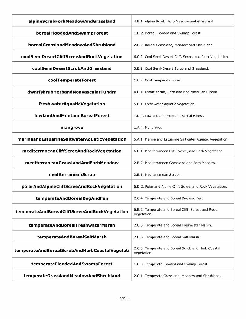
- 599 -
alpineScrubForbMeadowAndGrassland 4.B.1. Alpine Scrub, Forb Meadow and Grassland.
borealFloodedAndSwampForest 1.D.2. Boreal Flooded and Swamp Forest.
borealGrasslandMeadowAndShrubland 2.C.2. Boreal Grassland, Meadow and Shrubland.
coolSemiDesertCliffScreeAndRockVegetation 6.C.2. Cool Semi-Desert Cliff, Scree, and Rock Vegetation.
coolSemiDesertScrubAndGrassland 3.B.1. Cool Semi-Desert Scrub and Grassland.
coolTemperateForest 1.C.2. Cool Temperate Forest.
dwarfshrubHerbandNonvascularTundra 4.C.1. Dwarf-shrub, Herb and Non-vascular Tundra.
freshwaterAquaticVegetation 5.B.1. Freshwater Aquatic Vegetation.
lowlandAndMontaneBorealForest 1.D.1. Lowland and Montane Boreal Forest.
mangrove 1.A.4. Mangrove.
marineandEstuarineSaltwaterAquaticVegetation 5.A.1. Marine and Estuarine Saltwater Aquatic Vegetation.
mediterraneanCliffScreeAndRockVegetation 6.B.1. Mediterranean Cliff, Scree, and Rock Vegetation.
mediterraneanGrasslandAndForbMeadow 2.B.2. Mediterranean Grassland and Forb Meadow.
mediterraneanScrub 2.B.1. Mediterranean Scrub.
polarAndAlpineCliffScreeAndRockVegetation 6.D.2. Polar and Alpine Cliff, Scree, and Rock Vegetation.
temperateAndBorealBogAndFen 2.C.4. Temperate and Boreal Bog and Fen.
temperateAndBorealCliffScreeAndRockVegetation 6.B.2. Temperate and Boreal Cliff, Scree, and Rock
Vegetation.
temperateAndBorealFreshwaterMarsh 2.C.5. Temperate and Boreal Freshwater Marsh.
temperateAndBorealSaltMarsh 2.C.6. Temperate and Boreal Salt Marsh.
temperateAndBorealScrubAndHerbCoastalVegetati 2.C.3. Temperate and Boreal Scrub and Herb Coastal
Vegetation.
temperateFloodedAndSwampForest 1.C.3. Temperate Flooded and Swamp Forest.
temperateGrasslandMeadowAndShrubland 2.C.1. Temperate Grassland, Meadow and Shrubland.
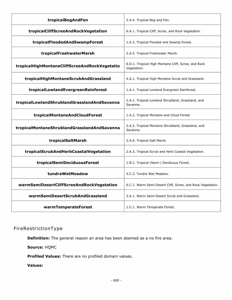
- 600 -
tropicalBogAndFen 2.A.4. Tropical Bog and Fen.
tropicalCliffScreeAndRockVegetation 6.A.1. Tropical Cliff, Scree, and Rock Vegetation.
tropicalFloodedAndSwampForest 1.A.3. Tropical Flooded and Swamp Forest.
tropicalFreshwaterMarsh 2.A.5. Tropical Freshwater Marsh.
tropicalHighMontaneCliffScreeAndRockVegetatio 6.D.1. Tropical High Montane Cliff, Scree, and Rock
Vegetation.
tropicalHighMontaneScrubAndGrassland 4.A.1. Tropical High Montane Scrub and Grassland.
tropicalLowlandEvergreenRainforest 1.A.1. Tropical Lowland Evergreen Rainforest.
tropicalLowlandShrublandGrasslandAndSavanna 2.A.1. Tropical Lowland Shrubland, Grassland, and
Savanna.
tropicalMontaneAndCloudForest 1.A.2. Tropical Montane and Cloud Forest.
tropicalMontaneShrublandGrasslandAndSavanna 2.A.2. Tropical Montane Shrubland, Grassland, and
Savanna.
tropicalSaltMarsh 2.A.6. Tropical Salt Marsh.
tropicalScrubAndHerbCoastalVegetation 2.A.3. Tropical Scrub and Herb Coastal Vegetation.
tropicalSemiDeciduousForest 1.B.1. Tropical (Semi-) Deciduous Forest.
tundraWetMeadow 4.C.2. Tundra Wet Meadow.
warmSemiDesertCliffScreeAndRockVegetation 6.C.1. Warm Semi-Desert Cliff, Scree, and Rock Vegetation.
warmSemiDesertScrubAndGrassland 3.A.1. Warm Semi-Desert Scrub and Grassland.
warmTemperateForest 1.C.1. Warm Temperate Forest.
FireRestrictionType
Definition: The general reason an area has been deemed as a no fire area.
Source: HQMC
Profiled Values: There are no profiled domain values.
Values:
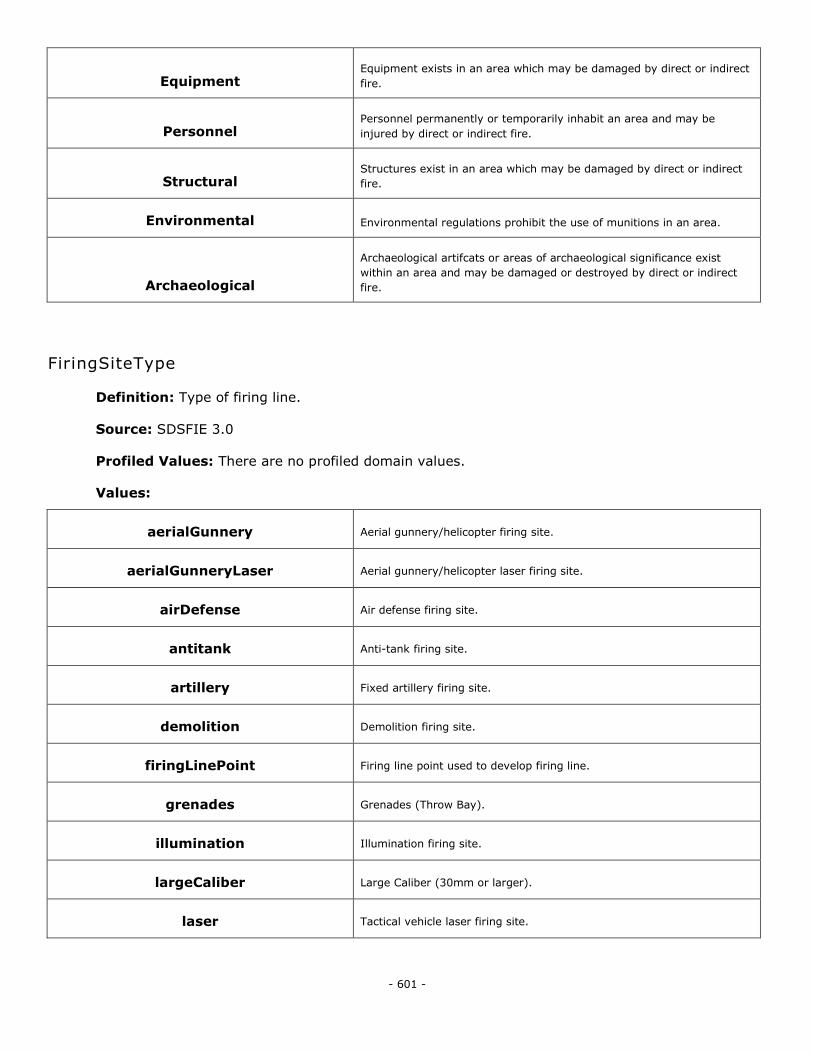
- 601 -
Equipment Equipment exists in an area which may be damaged by direct or indirect
fire.
Personnel Personnel permanently or temporarily inhabit an area and may be
injured by direct or indirect fire.
Structural Structures exist in an area which may be damaged by direct or indirect
fire.
Environmental Environmental regulations prohibit the use of munitions in an area.
Archaeological
Archaeological artifcats or areas of archaeological significance exist
within an area and may be damaged or destroyed by direct or indirect
fire.
FiringSiteType
Definition: Type of firing line.
Source: SDSFIE 3.0
Profiled Values: There are no profiled domain values.
Values:
aerialGunnery Aerial gunnery/helicopter firing site.
aerialGunneryLaser Aerial gunnery/helicopter laser firing site.
airDefense Air defense firing site.
antitank Anti-tank firing site.
artillery Fixed artillery firing site.
demolition Demolition firing site.
firingLinePoint Firing line point used to develop firing line.
grenades Grenades (Throw Bay).
illumination Illumination firing site.
largeCaliber Large Caliber (30mm or larger).
laser Tactical vehicle laser firing site.
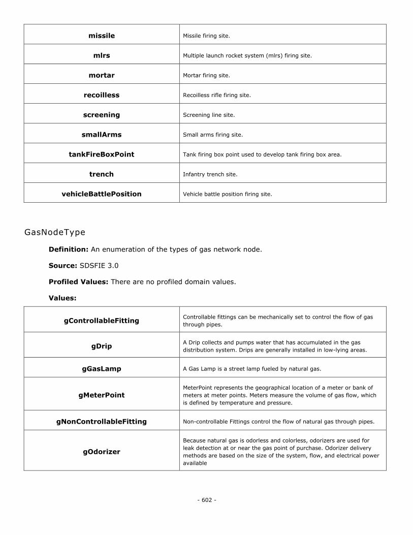
- 602 -
missile Missile firing site.
mlrs Multiple launch rocket system (mlrs) firing site.
mortar Mortar firing site.
recoilless Recoilless rifle firing site.
screening Screening line site.
smallArms Small arms firing site.
tankFireBoxPoint Tank firing box point used to develop tank firing box area.
trench Infantry trench site.
vehicleBattlePosition Vehicle battle position firing site.
GasNodeType
Definition: An enumeration of the types of gas network node.
Source: SDSFIE 3.0
Profiled Values: There are no profiled domain values.
Values:
gControllableFitting Controllable fittings can be mechanically set to control the flow of gas
through pipes.
gDrip A Drip collects and pumps water that has accumulated in the gas
distribution system. Drips are generally installed in low-lying areas.
gGasLamp A Gas Lamp is a street lamp fueled by natural gas.
gMeterPoint MeterPoint represents the geographical location of a meter or bank of
meters at meter points. Meters measure the volume of gas flow, which
is defined by temperature and pressure.
gNonControllableFitting Non-controllable Fittings control the flow of natural gas through pipes.
gOdorizer
Because natural gas is odorless and colorless, odorizers are used for
leak detection at or near the gas point of purchase. Odorizer delivery
methods are based on the size of the system, flow, and electrical power
available
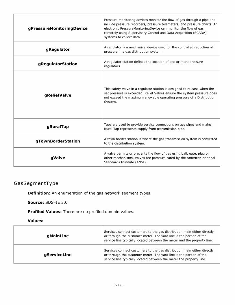
- 603 -
gPressureMonitoringDevice
Pressure monitoring devices monitor the flow of gas through a pipe and
include pressure recorders, pressure telemeters, and pressure charts. An
electronic PressureMonitoringDevice can monitor the flow of gas
remotely using Supervisory Control and Data Acquisition (SCADA)
systems to collect data.
gRegulator A regulator is a mechanical device used for the controlled reduction of
pressure in a gas distribution system.
gRegulatorStation A regulator station defines the location of one or more pressure
regulators
gReliefValve
This safety valve in a regulator station is designed to release when the
set pressure is exceeded. Relief Valves ensure the system pressure does
not exceed the maximum allowable operating pressure of a Distribution
System.
gRuralTap Taps are used to provide service connections on gas pipes and mains.
Rural Tap represents supply from transmission pipe.
gTownBorderStation A town border station is where the gas transmission system is converted
to the distribution system.
gValve A valve permits or prevents the flow of gas using ball, gate, plug or
other mechanisms. Valves are pressure-rated by the American National
Standards Institute (ANSI).
GasSegmentType
Definition: An enumeration of the gas network segment types.
Source: SDSFIE 3.0
Profiled Values: There are no profiled domain values.
Values:
gMainLine Services connect customers to the gas distribution main either directly
or through the customer meter. The yard line is the portion of the
service line typically located between the meter and the property line.
gServiceLine Services connect customers to the gas distribution main either directly
or through the customer meter. The yard line is the portion of the
service line typically located between the meter the property line.
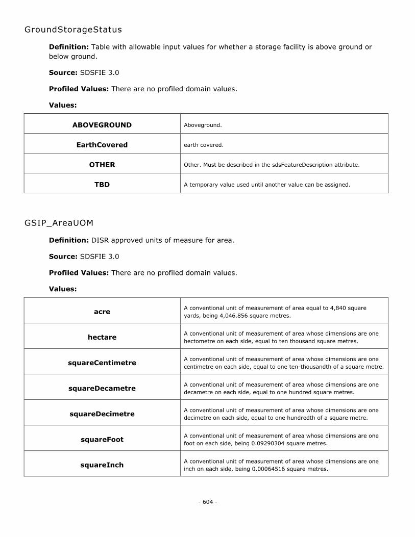
- 604 -
GroundStorageStatus
Definition: Table with allowable input values for whether a storage facility is above ground or
below ground.
Source: SDSFIE 3.0
Profiled Values: There are no profiled domain values.
Values:
ABOVEGROUND Aboveground.
EarthCovered earth covered.
OTHER Other. Must be described in the sdsFeatureDescription attribute.
TBD A temporary value used until another value can be assigned.
GSIP_AreaUOM
Definition: DISR approved units of measure for area.
Source: SDSFIE 3.0
Profiled Values: There are no profiled domain values.
Values:
acre A conventional unit of measurement of area equal to 4,840 square
yards, being 4,046.856 square metres.
hectare A conventional unit of measurement of area whose dimensions are one
hectometre on each side, equal to ten thousand square metres.
squareCentimetre A conventional unit of measurement of area whose dimensions are one
centimetre on each side, equal to one ten-thousandth of a square metre.
squareDecametre A conventional unit of measurement of area whose dimensions are one
decametre on each side, equal to one hundred square metres.
squareDecimetre A conventional unit of measurement of area whose dimensions are one
decimetre on each side, equal to one hundredth of a square metre.
squareFoot A conventional unit of measurement of area whose dimensions are one
foot on each side, being 0.09290304 square metres.
squareInch A conventional unit of measurement of area whose dimensions are one
inch on each side, being 0.00064516 square metres.
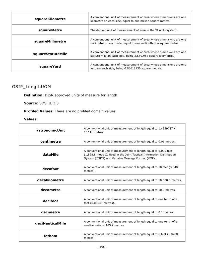
- 605 -
squareKilometre A conventional unit of measurement of area whose dimensions are one
kilometre on each side, equal to one million square metres.
squareMetre The derived unit of measurement of area in the SI units system.
squareMillimetre A conventional unit of measurement of area whose dimensions are one
millimetre on each side, equal to one millionth of a square metre.
squareStatuteMile A conventional unit of measurement of area whose dimensions are one
statute mile on each side, being 2,589.988 square kilometres.
squareYard A conventional unit of measurement of area whose dimensions are one
yard on each side, being 0.83612736 square metres.
GSIP_LengthUOM
Definition: DISR approved units of measure for length.
Source: SDSFIE 3.0
Profiled Values: There are no profiled domain values.
Values:
astronomicUnit A conventional unit of measurement of length equal to 1.4959787 x
10^11 metres.
centimetre A conventional unit of measurement of length equal to 0.01 metres.
dataMile A conventional unit of measurement of length equal to 6,000 feet
(1,828.8 metres). Used in the Joint Tactical Information Distribution
System (JTIDS) and Variable Message Format (VMF).
decafoot A conventional unit of measurement of length equal to 10 feet (3.048
metres).
decakilometre A conventional unit of measurement of length equal to 10,000.0 metres.
decametre A conventional unit of measurement of length equal to 10.0 metres.
decifoot A conventional unit of measurement of length equal to one tenth of a
foot (0.03048 metres).
decimetre A conventional unit of measurement of length equal to 0.1 metres.
deciNauticalMile A conventional unit of measurement of length equal to one tenth of a
nautical mile or 185.2 metres.
fathom A conventional unit of measurement of length equal to 6 feet (1.8288
metres).
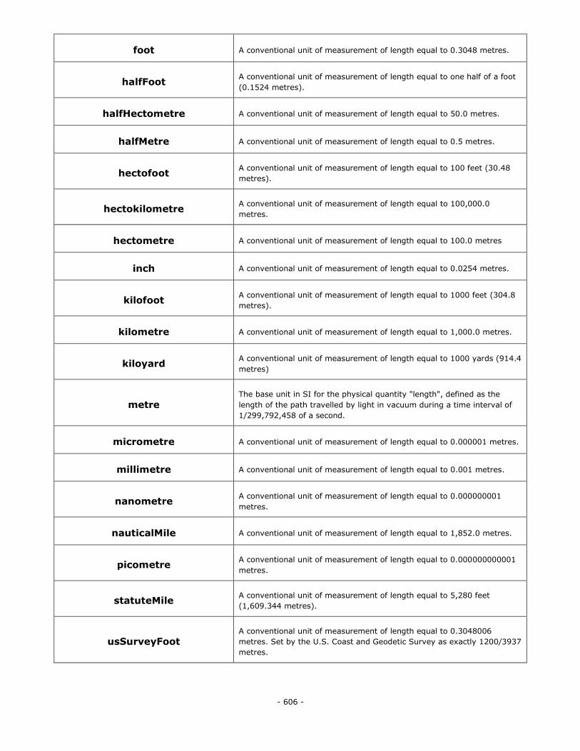
- 606 -
foot A conventional unit of measurement of length equal to 0.3048 metres.
halfFoot A conventional unit of measurement of length equal to one half of a foot
(0.1524 metres).
halfHectometre A conventional unit of measurement of length equal to 50.0 metres.
halfMetre A conventional unit of measurement of length equal to 0.5 metres.
hectofoot A conventional unit of measurement of length equal to 100 feet (30.48
metres).
hectokilometre A conventional unit of measurement of length equal to 100,000.0
metres.
hectometre A conventional unit of measurement of length equal to 100.0 metres
inch A conventional unit of measurement of length equal to 0.0254 metres.
kilofoot A conventional unit of measurement of length equal to 1000 feet (304.8
metres).
kilometre A conventional unit of measurement of length equal to 1,000.0 metres.
kiloyard A conventional unit of measurement of length equal to 1000 yards (914.4
metres)
metre The base unit in SI for the physical quantity "length", defined as the
length of the path travelled by light in vacuum during a time interval of
1/299,792,458 of a second.
micrometre A conventional unit of measurement of length equal to 0.000001 metres.
millimetre A conventional unit of measurement of length equal to 0.001 metres.
nanometre A conventional unit of measurement of length equal to 0.000000001
metres.
nauticalMile A conventional unit of measurement of length equal to 1,852.0 metres.
picometre A conventional unit of measurement of length equal to 0.000000000001
metres.
statuteMile A conventional unit of measurement of length equal to 5,280 feet
(1,609.344 metres).
usSurveyFoot A conventional unit of measurement of length equal to 0.3048006
metres. Set by the U.S. Coast and Geodetic Survey as exactly 1200/3937
metres.
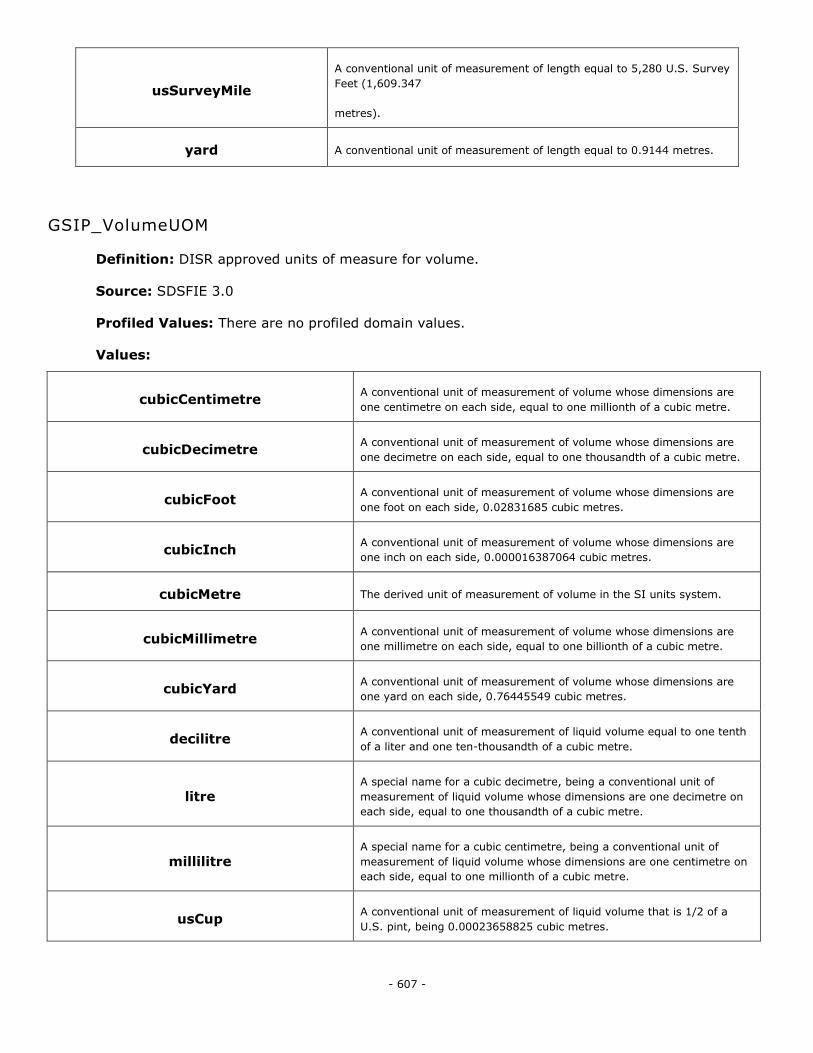
- 607 -
usSurveyMile
A conventional unit of measurement of length equal to 5,280 U.S. Survey
Feet (1,609.347
metres).
yard A conventional unit of measurement of length equal to 0.9144 metres.
GSIP_VolumeUOM
Definition: DISR approved units of measure for volume.
Source: SDSFIE 3.0
Profiled Values: There are no profiled domain values.
Values:
cubicCentimetre A conventional unit of measurement of volume whose dimensions are
one centimetre on each side, equal to one millionth of a cubic metre.
cubicDecimetre A conventional unit of measurement of volume whose dimensions are
one decimetre on each side, equal to one thousandth of a cubic metre.
cubicFoot A conventional unit of measurement of volume whose dimensions are
one foot on each side, 0.02831685 cubic metres.
cubicInch A conventional unit of measurement of volume whose dimensions are
one inch on each side, 0.000016387064 cubic metres.
cubicMetre The derived unit of measurement of volume in the SI units system.
cubicMillimetre A conventional unit of measurement of volume whose dimensions are
one millimetre on each side, equal to one billionth of a cubic metre.
cubicYard A conventional unit of measurement of volume whose dimensions are
one yard on each side, 0.76445549 cubic metres.
decilitre A conventional unit of measurement of liquid volume equal to one tenth
of a liter and one ten-thousandth of a cubic metre.
litre A special name for a cubic decimetre, being a conventional unit of
measurement of liquid volume whose dimensions are one decimetre on
each side, equal to one thousandth of a cubic metre.
millilitre A special name for a cubic centimetre, being a conventional unit of
measurement of liquid volume whose dimensions are one centimetre on
each side, equal to one millionth of a cubic metre.
usCup A conventional unit of measurement of liquid volume that is 1/2 of a
U.S. pint, being 0.00023658825 cubic metres.
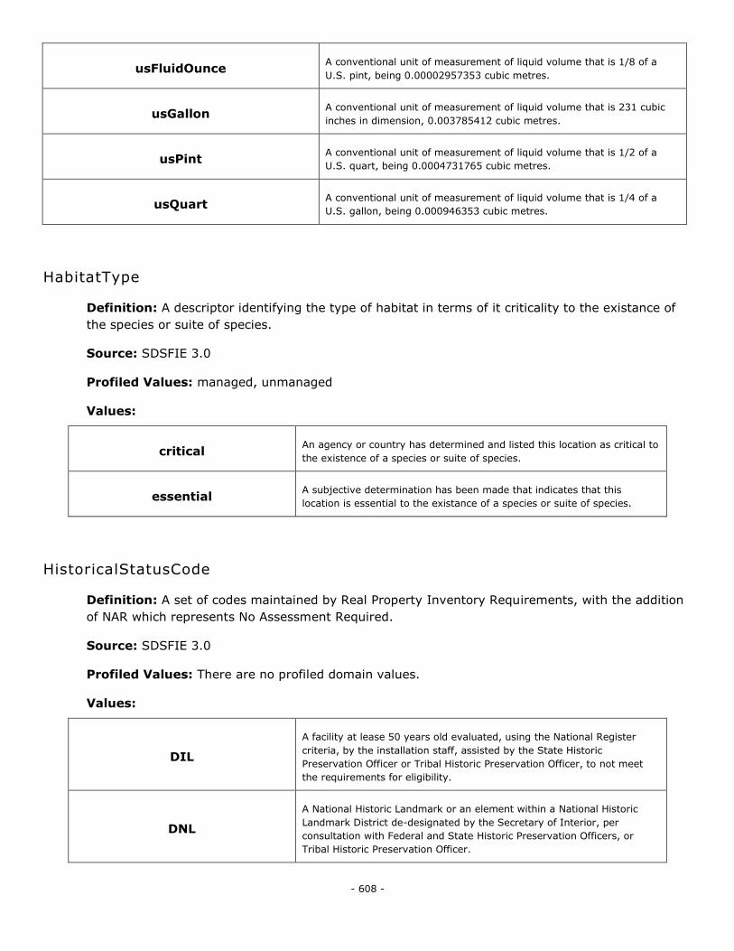
- 608 -
usFluidOunce A conventional unit of measurement of liquid volume that is 1/8 of a
U.S. pint, being 0.00002957353 cubic metres.
usGallon A conventional unit of measurement of liquid volume that is 231 cubic
inches in dimension, 0.003785412 cubic metres.
usPint A conventional unit of measurement of liquid volume that is 1/2 of a
U.S. quart, being 0.0004731765 cubic metres.
usQuart A conventional unit of measurement of liquid volume that is 1/4 of a
U.S. gallon, being 0.000946353 cubic metres.
HabitatType
Definition: A descriptor identifying the type of habitat in terms of it criticality to the existance of
the species or suite of species.
Source: SDSFIE 3.0
Profiled Values: managed, unmanaged
Values:
critical An agency or country has determined and listed this location as critical to
the existence of a species or suite of species.
essential A subjective determination has been made that indicates that this
location is essential to the existance of a species or suite of species.
HistoricalStatusCode
Definition: A set of codes maintained by Real Property Inventory Requirements, with the addition
of NAR which represents No Assessment Required.
Source: SDSFIE 3.0
Profiled Values: There are no profiled domain values.
Values:
DIL
A facility at lease 50 years old evaluated, using the National Register
criteria, by the installation staff, assisted by the State Historic
Preservation Officer or Tribal Historic Preservation Officer, to not meet
the requirements for eligibility.
DNL
A National Historic Landmark or an element within a National Historic
Landmark District de-designated by the Secretary of Interior, per
consultation with Federal and State Historic Preservation Officers, or
Tribal Historic Preservation Officer.
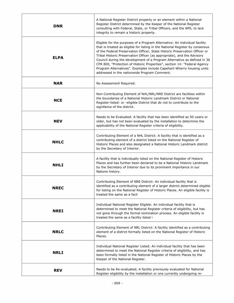
- 609 -
DNR
A National Register District property or an element within a National
Register District determined by the Keeper of the National Register
consulting with Federal, State, or Tribal Officers, and the NPS, to lack
integrity to remain a historic property.
ELPA
Eligible for the purposes of a Program Alternative: An individual facility
that is treated as eligible for listing in the National Register by consensus
of the Federal Preservation Officer, State Historic Preservation Officer or
Tribal Historic Preservation Officer (as appropriate), and the Advisory
Council during the development of a Program Alternative as defined in 36
CFR 800, "Protection of Historic Properties", section 14: "Federal Agency
Program Alternatives". Examples include Capehart-Wherry housing units
addressed in the nationwide Program Comment.
NAR No Assessment Required.
NCE
Non-Contributing Element of NHL/NRL/NRE District are facilities within
the boundaries of a National Historic Landmark District or National
Register-listed- or -eligible District that do not to contribute to the
signifance of the district.
NEV Needs to be Evaluated: A facility that has been identified as 50-years or
older, but has not been evaluated by the installation to determine the
applicability of the National Register criteria of eligibility.
NHLC
Contributing Element of a NHL District: A facility that is identified as a
contributing element of a district listed on the National Register of
Historic Places and also designated a National Historic Landmark district
by the Secretary of Interior.
NHLI
A facility that is individually listed on the National Register of Historic
Places and has further been declared to be a National Historic Landmark
by the Secretary of Interior due to its prominent importance in our
Nations history.
NREC
Contributing Element of NRE District: An individual facility that is
identified as a contributing element of a larger district determined eligible
for listing on the National Register of Historic Places. An eligible facility is
treated the same as a facil
NREI
Individual National Register Eligible: An individual facility that is
determined to meet the National Register criteria of eligibility, but has
not gone through the formal nomination process. An eligible facility is
treated the same as a facility listed i
NRLC Contributing Element of NRL District: A facility identified as a contributing
element of a district formally listed on the National Register of Historic
Places.
NRLI
Individual National Register Listed: An individual facility that has been
determined to meet the National Register criteria of eligibility, and has
been formally listed in the National Register of Historic Places by the
Keeper of the National Register.
REV Needs to be Re-evaluated; A facility previously evaluated for National
Register eligibility by the installation or one currently undergoing re-
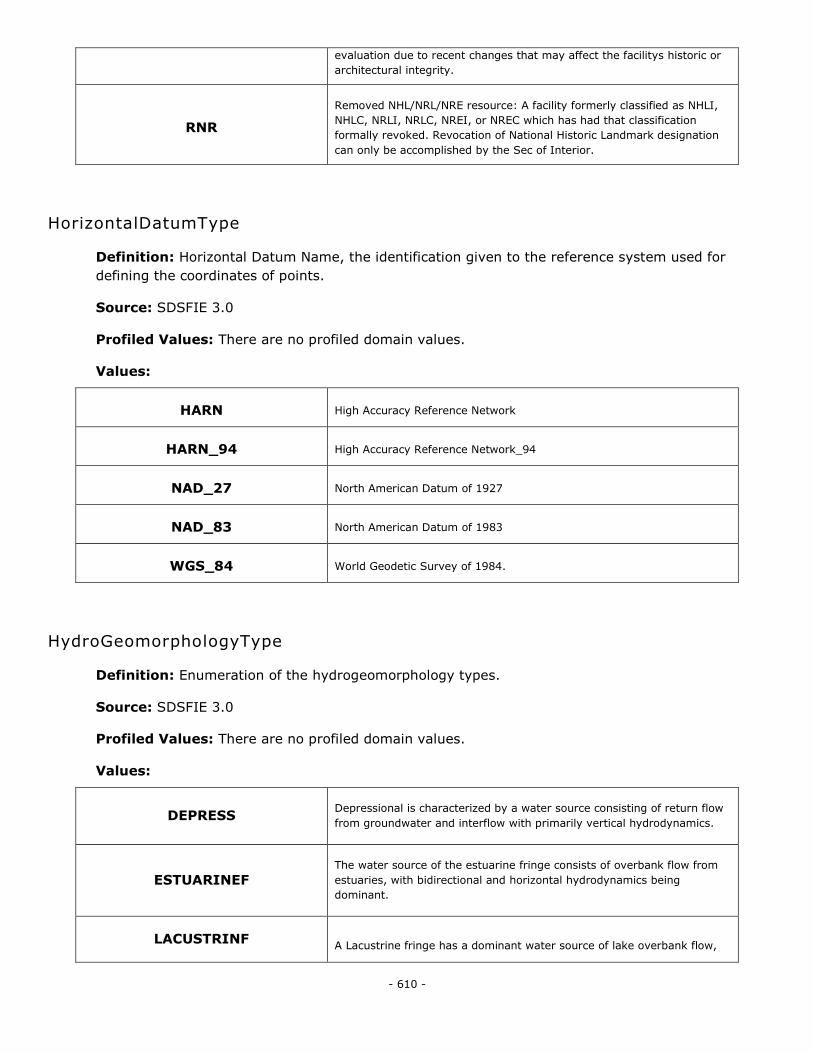
- 610 -
evaluation due to recent changes that may affect the facilitys historic or
architectural integrity.
RNR
Removed NHL/NRL/NRE resource: A facility formerly classified as NHLI,
NHLC, NRLI, NRLC, NREI, or NREC which has had that classification
formally revoked. Revocation of National Historic Landmark designation
can only be accomplished by the Sec of Interior.
HorizontalDatumType
Definition: Horizontal Datum Name, the identification given to the reference system used for
defining the coordinates of points.
Source: SDSFIE 3.0
Profiled Values: There are no profiled domain values.
Values:
HARN High Accuracy Reference Network
HARN_94 High Accuracy Reference Network_94
NAD_27 North American Datum of 1927
NAD_83 North American Datum of 1983
WGS_84 World Geodetic Survey of 1984.
HydroGeomorphologyType
Definition: Enumeration of the hydrogeomorphology types.
Source: SDSFIE 3.0
Profiled Values: There are no profiled domain values.
Values:
DEPRESS Depressional is characterized by a water source consisting of return flow
from groundwater and interflow with primarily vertical hydrodynamics.
ESTUARINEF The water source of the estuarine fringe consists of overbank flow from
estuaries, with bidirectional and horizontal hydrodynamics being
dominant.
LACUSTRINF A Lacustrine fringe has a dominant water source of lake overbank flow,
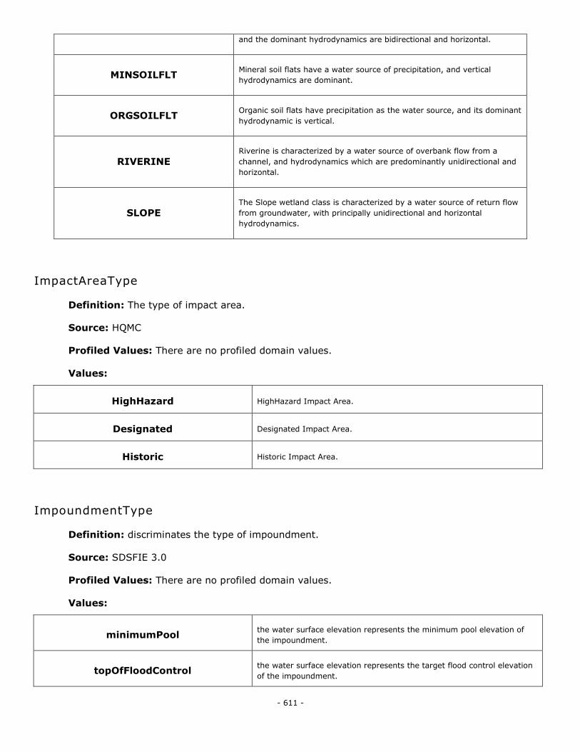
- 611 -
and the dominant hydrodynamics are bidirectional and horizontal.
MINSOILFLT Mineral soil flats have a water source of precipitation, and vertical
hydrodynamics are dominant.
ORGSOILFLT Organic soil flats have precipitation as the water source, and its dominant
hydrodynamic is vertical.
RIVERINE Riverine is characterized by a water source of overbank flow from a
channel, and hydrodynamics which are predominantly unidirectional and
horizontal.
SLOPE The Slope wetland class is characterized by a water source of return flow
from groundwater, with principally unidirectional and horizontal
hydrodynamics.
ImpactAreaType
Definition: The type of impact area.
Source: HQMC
Profiled Values: There are no profiled domain values.
Values:
HighHazard HighHazard Impact Area.
Designated Designated Impact Area.
Historic Historic Impact Area.
ImpoundmentType
Definition: discriminates the type of impoundment.
Source: SDSFIE 3.0
Profiled Values: There are no profiled domain values.
Values:
minimumPool the water surface elevation represents the minimum pool elevation of
the impoundment.
topOfFloodControl the water surface elevation represents the target flood control elevation
of the impoundment.
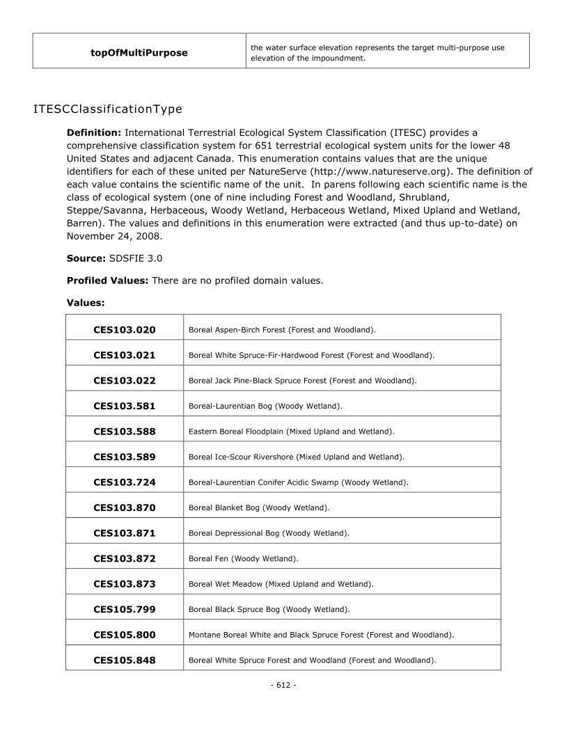
- 612 -
topOfMultiPurpose the water surface elevation represents the target multi-purpose use
elevation of the impoundment.
ITESCClassificationType
Definition: International Terrestrial Ecological System Classification (ITESC) provides a
comprehensive classification system for 651 terrestrial ecological system units for the lower 48
United States and adjacent Canada. This enumeration contains values that are the unique
identifiers for each of these united per NatureServe (http://www.natureserve.org). The definition of
each value contains the scientific name of the unit. In parens following each scientific name is the
class of ecological system (one of nine including Forest and Woodland, Shrubland,
Steppe/Savanna, Herbaceous, Woody Wetland, Herbaceous Wetland, Mixed Upland and Wetland,
Barren). The values and definitions in this enumeration were extracted (and thus up-to-date) on
November 24, 2008.
Source: SDSFIE 3.0
Profiled Values: There are no profiled domain values.
Values:
CES103.020 Boreal Aspen-Birch Forest (Forest and Woodland).
CES103.021 Boreal White Spruce-Fir-Hardwood Forest (Forest and Woodland).
CES103.022 Boreal Jack Pine-Black Spruce Forest (Forest and Woodland).
CES103.581 Boreal-Laurentian Bog (Woody Wetland).
CES103.588 Eastern Boreal Floodplain (Mixed Upland and Wetland).
CES103.589 Boreal Ice-Scour Rivershore (Mixed Upland and Wetland).
CES103.724 Boreal-Laurentian Conifer Acidic Swamp (Woody Wetland).
CES103.870 Boreal Blanket Bog (Woody Wetland).
CES103.871 Boreal Depressional Bog (Woody Wetland).
CES103.872 Boreal Fen (Woody Wetland).
CES103.873 Boreal Wet Meadow (Mixed Upland and Wetland).
CES105.799 Boreal Black Spruce Bog (Woody Wetland).
CES105.800 Montane Boreal White and Black Spruce Forest (Forest and Woodland).
CES105.848 Boreal White Spruce Forest and Woodland (Forest and Woodland).
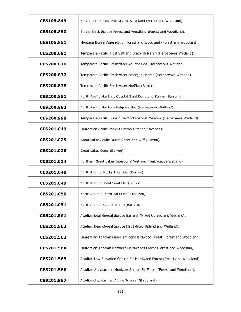
- 613 -
CES105.849 Boreal Lutz Spruce Forest and Woodland (Forest and Woodland).
CES105.850 Boreal Black Spruce Forest and Woodland (Forest and Woodland).
CES105.851 Montane Boreal Aspen-Birch Forest and Woodland (Forest and Woodland).
CES200.091 Temperate Pacific Tidal Salt and Brackish Marsh (Herbaceous Wetland).
CES200.876 Temperate Pacific Freshwater Aquatic Bed (Herbaceous Wetland).
CES200.877 Temperate Pacific Freshwater Emergent Marsh (Herbaceous Wetland).
CES200.878 Temperate Pacific Freshwater Mudflat (Barren).
CES200.881 North Pacific Maritime Coastal Sand Dune and Strand (Barren).
CES200.882 North Pacific Maritime Eelgrass Bed (Herbaceous Wetland).
CES200.998 Temperate Pacific Subalpine-Montane Wet Meadow (Herbaceous Wetland).
CES201.019 Laurentian Acidic Rocky Outcrop (Steppe/Savanna).
CES201.025 Great Lakes Acidic Rocky Shore and Cliff (Barren).
CES201.026 Great Lakes Dune (Barren).
CES201.034 Northern Great Lakes Interdunal Wetland (Herbaceous Wetland).
CES201.048 North Atlantic Rocky Intertidal (Barren).
CES201.049 North Atlantic Tidal Sand Flat (Barren).
CES201.050 North Atlantic Intertidal Mudflat (Barren).
CES201.051 North Atlantic Cobble Shore (Barren).
CES201.561 Acadian Near-Boreal Spruce Barrens (Mixed Upland and Wetland).
CES201.562 Acadian Near-Boreal Spruce Flat (Mixed Upland and Wetland).
CES201.563 Laurentian-Acadian Pine-Hemlock-Hardwood Forest (Forest and Woodland).
CES201.564 Laurentian-Acadian Northern Hardwoods Forest (Forest and Woodland).
CES201.565 Acadian Low-Elevation Spruce-Fir-Hardwood Forest (Forest and Woodland).
CES201.566 Acadian-Appalachian Montane Spruce-Fir Forest (Forest and Woodland).
CES201.567 Acadian-Appalachian Alpine Tundra (Shrubland).
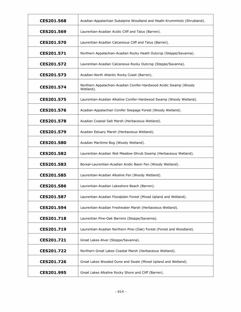
- 614 -
CES201.568 Acadian-Appalachian Subalpine Woodland and Heath-Krummholz (Shrubland).
CES201.569 Laurentian-Acadian Acidic Cliff and Talus (Barren).
CES201.570 Laurentian-Acadian Calcareous Cliff and Talus (Barren).
CES201.571 Northern Appalachian-Acadian Rocky Heath Outcrop (Steppe/Savanna).
CES201.572 Laurentian-Acadian Calcareous Rocky Outcrop (Steppe/Savanna).
CES201.573 Acadian-North Atlantic Rocky Coast (Barren).
CES201.574 Northern Appalachian-Acadian Conifer-Hardwood Acidic Swamp (Woody Wetland).
CES201.575 Laurentian-Acadian Alkaline Conifer-Hardwood Swamp (Woody Wetland).
CES201.576 Acadian-Appalachian Conifer Seepage Forest (Woody Wetland).
CES201.578 Acadian Coastal Salt Marsh (Herbaceous Wetland).
CES201.579 Acadian Estuary Marsh (Herbaceous Wetland).
CES201.580 Acadian Maritime Bog (Woody Wetland).
CES201.582 Laurentian-Acadian Wet Meadow-Shrub Swamp (Herbaceous Wetland).
CES201.583 Boreal-Laurentian-Acadian Acidic Basin Fen (Woody Wetland).
CES201.585 Laurentian-Acadian Alkaline Fen (Woody Wetland).
CES201.586 Laurentian-Acadian Lakeshore Beach (Barren).
CES201.587 Laurentian-Acadian Floodplain Forest (Mixed Upland and Wetland).
CES201.594 Laurentian-Acadian Freshwater Marsh (Herbaceous Wetland).
CES201.718 Laurentian Pine-Oak Barrens (Steppe/Savanna).
CES201.719 Laurentian-Acadian Northern Pine-(Oak) Forest (Forest and Woodland).
CES201.721 Great Lakes Alvar (Steppe/Savanna).
CES201.722 Northern Great Lakes Coastal Marsh (Herbaceous Wetland).
CES201.726 Great Lakes Wooded Dune and Swale (Mixed Upland and Wetland).
CES201.995 Great Lakes Alkaline Rocky Shore and Cliff (Barren).
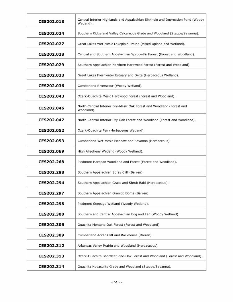
- 615 -
CES202.018 Central Interior Highlands and Appalachian Sinkhole and Depression Pond (Woody
Wetland).
CES202.024 Southern Ridge and Valley Calcareous Glade and Woodland (Steppe/Savanna).
CES202.027 Great Lakes Wet-Mesic Lakeplain Prairie (Mixed Upland and Wetland).
CES202.028 Central and Southern Appalachian Spruce-Fir Forest (Forest and Woodland).
CES202.029 Southern Appalachian Northern Hardwood Forest (Forest and Woodland).
CES202.033 Great Lakes Freshwater Estuary and Delta (Herbaceous Wetland).
CES202.036 Cumberland Riverscour (Woody Wetland).
CES202.043 Ozark-Ouachita Mesic Hardwood Forest (Forest and Woodland).
CES202.046 North-Central Interior Dry-Mesic Oak Forest and Woodland (Forest and
Woodland).
CES202.047 North-Central Interior Dry Oak Forest and Woodland (Forest and Woodland).
CES202.052 Ozark-Ouachita Fen (Herbaceous Wetland).
CES202.053 Cumberland Wet-Mesic Meadow and Savanna (Herbaceous).
CES202.069 High Allegheny Wetland (Woody Wetland).
CES202.268 Piedmont Hardpan Woodland and Forest (Forest and Woodland).
CES202.288 Southern Appalachian Spray Cliff (Barren).
CES202.294 Southern Appalachian Grass and Shrub Bald (Herbaceous).
CES202.297 Southern Appalachian Granitic Dome (Barren).
CES202.298 Piedmont Seepage Wetland (Woody Wetland).
CES202.300 Southern and Central Appalachian Bog and Fen (Woody Wetland).
CES202.306 Ouachita Montane Oak Forest (Forest and Woodland).
CES202.309 Cumberland Acidic Cliff and Rockhouse (Barren).
CES202.312 Arkansas Valley Prairie and Woodland (Herbaceous).
CES202.313 Ozark-Ouachita Shortleaf Pine-Oak Forest and Woodland (Forest and Woodland).
CES202.314 Ouachita Novaculite Glade and Woodland (Steppe/Savanna).
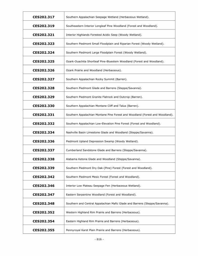
- 616 -
CES202.317 Southern Appalachian Seepage Wetland (Herbaceous Wetland).
CES202.319 Southeastern Interior Longleaf Pine Woodland (Forest and Woodland).
CES202.321 Interior Highlands Forested Acidic Seep (Woody Wetland).
CES202.323 Southern Piedmont Small Floodplain and Riparian Forest (Woody Wetland).
CES202.324 Southern Piedmont Large Floodplain Forest (Woody Wetland).
CES202.325 Ozark-Ouachita Shortleaf Pine-Bluestem Woodland (Forest and Woodland).
CES202.326 Ozark Prairie and Woodland (Herbaceous).
CES202.327 Southern Appalachian Rocky Summit (Barren).
CES202.328 Southern Piedmont Glade and Barrens (Steppe/Savanna).
CES202.329 Southern Piedmont Granite Flatrock and Outcrop (Barren).
CES202.330 Southern Appalachian Montane Cliff and Talus (Barren).
CES202.331 Southern Appalachian Montane Pine Forest and Woodland (Forest and Woodland).
CES202.332 Southern Appalachian Low-Elevation Pine Forest (Forest and Woodland).
CES202.334 Nashville Basin Limestone Glade and Woodland (Steppe/Savanna).
CES202.336 Piedmont Upland Depression Swamp (Woody Wetland).
CES202.337 Cumberland Sandstone Glade and Barrens (Steppe/Savanna).
CES202.338 Alabama Ketona Glade and Woodland (Steppe/Savanna).
CES202.339 Southern Piedmont Dry Oak-(Pine) Forest (Forest and Woodland).
CES202.342 Southern Piedmont Mesic Forest (Forest and Woodland).
CES202.346 Interior Low Plateau Seepage Fen (Herbaceous Wetland).
CES202.347 Eastern Serpentine Woodland (Forest and Woodland).
CES202.348 Southern and Central Appalachian Mafic Glade and Barrens (Steppe/Savanna).
CES202.352 Western Highland Rim Prairie and Barrens (Herbaceous).
CES202.354 Eastern Highland Rim Prairie and Barrens (Herbaceous).
CES202.355 Pennyroyal Karst Plain Prairie and Barrens (Herbaceous).
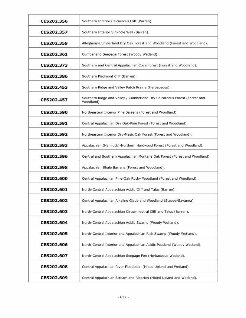
- 617 -
CES202.356 Southern Interior Calcareous Cliff (Barren).
CES202.357 Southern Interior Sinkhole Wall (Barren).
CES202.359 Allegheny-Cumberland Dry Oak Forest and Woodland (Forest and Woodland).
CES202.361 Cumberland Seepage Forest (Woody Wetland).
CES202.373 Southern and Central Appalachian Cove Forest (Forest and Woodland).
CES202.386 Southern Piedmont Cliff (Barren).
CES202.453 Southern Ridge and Valley Patch Prairie (Herbaceous).
CES202.457 Southern Ridge and Valley / Cumberland Dry Calcareous Forest (Forest and Woodland).
CES202.590 Northeastern Interior Pine Barrens (Forest and Woodland).
CES202.591 Central Appalachian Dry Oak-Pine Forest (Forest and Woodland).
CES202.592 Northeastern Interior Dry-Mesic Oak Forest (Forest and Woodland).
CES202.593 Appalachian (Hemlock)-Northern Hardwood Forest (Forest and Woodland).
CES202.596 Central and Southern Appalachian Montane Oak Forest (Forest and Woodland).
CES202.598 Appalachian Shale Barrens (Forest and Woodland).
CES202.600 Central Appalachian Pine-Oak Rocky Woodland (Forest and Woodland).
CES202.601 North-Central Appalachian Acidic Cliff and Talus (Barren).
CES202.602 Central Appalachian Alkaline Glade and Woodland (Steppe/Savanna).
CES202.603 North-Central Appalachian Circumneutral Cliff and Talus (Barren).
CES202.604 North-Central Appalachian Acidic Swamp (Woody Wetland).
CES202.605 North-Central Interior and Appalachian Rich Swamp (Woody Wetland).
CES202.606 North-Central Interior and Appalachian Acidic Peatland (Woody Wetland).
CES202.607 North-Central Appalachian Seepage Fen (Herbaceous Wetland).
CES202.608 Central Appalachian River Floodplain (Mixed Upland and Wetland).
CES202.609 Central Appalachian Stream and Riparian (Mixed Upland and Wetland).
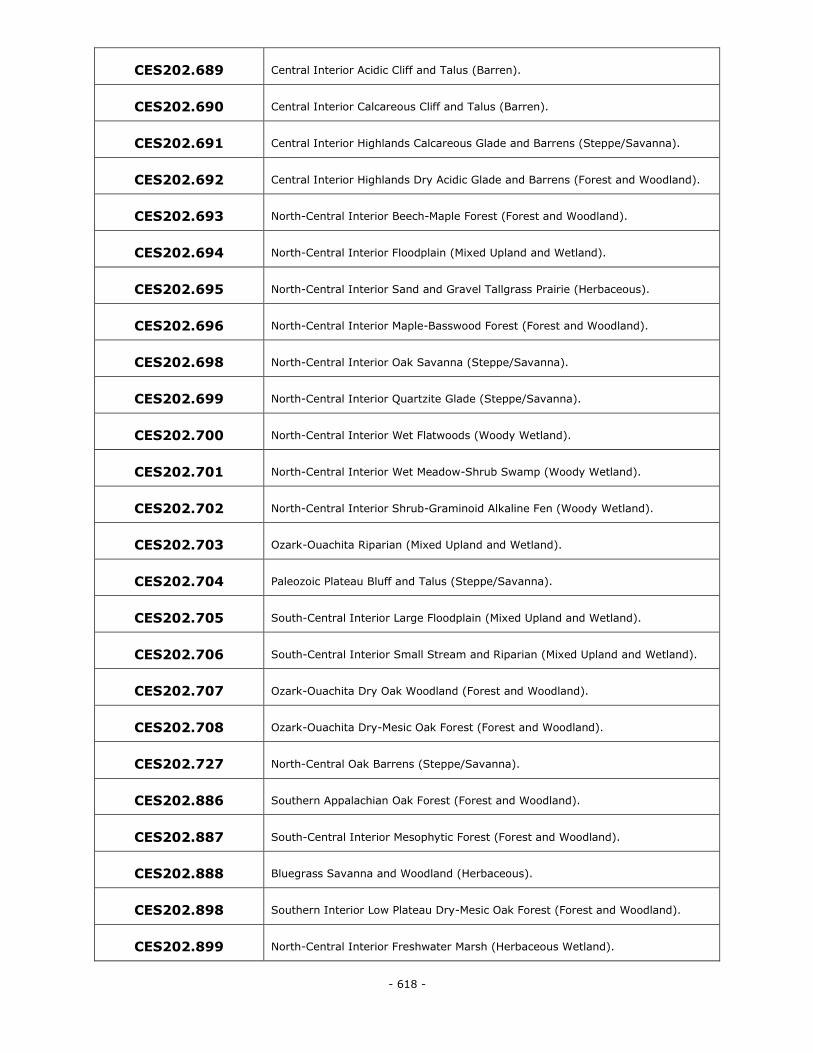
- 618 -
CES202.689 Central Interior Acidic Cliff and Talus (Barren).
CES202.690 Central Interior Calcareous Cliff and Talus (Barren).
CES202.691 Central Interior Highlands Calcareous Glade and Barrens (Steppe/Savanna).
CES202.692 Central Interior Highlands Dry Acidic Glade and Barrens (Forest and Woodland).
CES202.693 North-Central Interior Beech-Maple Forest (Forest and Woodland).
CES202.694 North-Central Interior Floodplain (Mixed Upland and Wetland).
CES202.695 North-Central Interior Sand and Gravel Tallgrass Prairie (Herbaceous).
CES202.696 North-Central Interior Maple-Basswood Forest (Forest and Woodland).
CES202.698 North-Central Interior Oak Savanna (Steppe/Savanna).
CES202.699 North-Central Interior Quartzite Glade (Steppe/Savanna).
CES202.700 North-Central Interior Wet Flatwoods (Woody Wetland).
CES202.701 North-Central Interior Wet Meadow-Shrub Swamp (Woody Wetland).
CES202.702 North-Central Interior Shrub-Graminoid Alkaline Fen (Woody Wetland).
CES202.703 Ozark-Ouachita Riparian (Mixed Upland and Wetland).
CES202.704 Paleozoic Plateau Bluff and Talus (Steppe/Savanna).
CES202.705 South-Central Interior Large Floodplain (Mixed Upland and Wetland).
CES202.706 South-Central Interior Small Stream and Riparian (Mixed Upland and Wetland).
CES202.707 Ozark-Ouachita Dry Oak Woodland (Forest and Woodland).
CES202.708 Ozark-Ouachita Dry-Mesic Oak Forest (Forest and Woodland).
CES202.727 North-Central Oak Barrens (Steppe/Savanna).
CES202.886 Southern Appalachian Oak Forest (Forest and Woodland).
CES202.887 South-Central Interior Mesophytic Forest (Forest and Woodland).
CES202.888 Bluegrass Savanna and Woodland (Herbaceous).
CES202.898 Southern Interior Low Plateau Dry-Mesic Oak Forest (Forest and Woodland).
CES202.899 North-Central Interior Freshwater Marsh (Herbaceous Wetland).
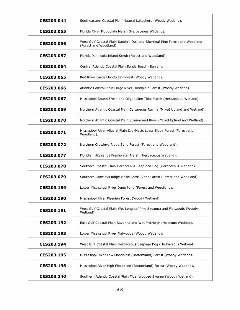
- 619 -
CES203.044 Southeastern Coastal Plain Natural Lakeshore (Woody Wetland).
CES203.055 Florida River Floodplain Marsh (Herbaceous Wetland).
CES203.056 West Gulf Coastal Plain Sandhill Oak and Shortleaf Pine Forest and Woodland (Forest and Woodland).
CES203.057 Florida Peninsula Inland Scrub (Forest and Woodland).
CES203.064 Central Atlantic Coastal Plain Sandy Beach (Barren).
CES203.065 Red River Large Floodplain Forest (Woody Wetland).
CES203.066 Atlantic Coastal Plain Large River Floodplain Forest (Woody Wetland).
CES203.067 Mississippi Sound Fresh and Oligohaline Tidal Marsh (Herbaceous Wetland).
CES203.069 Northern Atlantic Coastal Plain Calcareous Ravine (Mixed Upland and Wetland).
CES203.070 Northern Atlantic Coastal Plain Stream and River (Mixed Upland and Wetland).
CES203.071 Mississippi River Alluvial Plain Dry-Mesic Loess Slope Forest (Forest and Woodland).
CES203.072 Northern Crowleys Ridge Sand Forest (Forest and Woodland).
CES203.077 Floridian Highlands Freshwater Marsh (Herbaceous Wetland).
CES203.078 Southern Coastal Plain Herbaceous Seep and Bog (Herbaceous Wetland).
CES203.079 Southern Crowleys Ridge Mesic Loess Slope Forest (Forest and Woodland).
CES203.189 Lower Mississippi River Dune Pond (Forest and Woodland).
CES203.190 Mississippi River Riparian Forest (Woody Wetland).
CES203.191 West Gulf Coastal Plain Wet Longleaf Pine Savanna and Flatwoods (Woody Wetland).
CES203.192 East Gulf Coastal Plain Savanna and Wet Prairie (Herbaceous Wetland).
CES203.193 Lower Mississippi River Flatwoods (Woody Wetland).
CES203.194 West Gulf Coastal Plain Herbaceous Seepage Bog (Herbaceous Wetland).
CES203.195 Mississippi River Low Floodplain (Bottomland) Forest (Woody Wetland).
CES203.196 Mississippi River High Floodplain (Bottomland) Forest (Woody Wetland).
CES203.240 Southern Atlantic Coastal Plain Tidal Wooded Swamp (Woody Wetland).
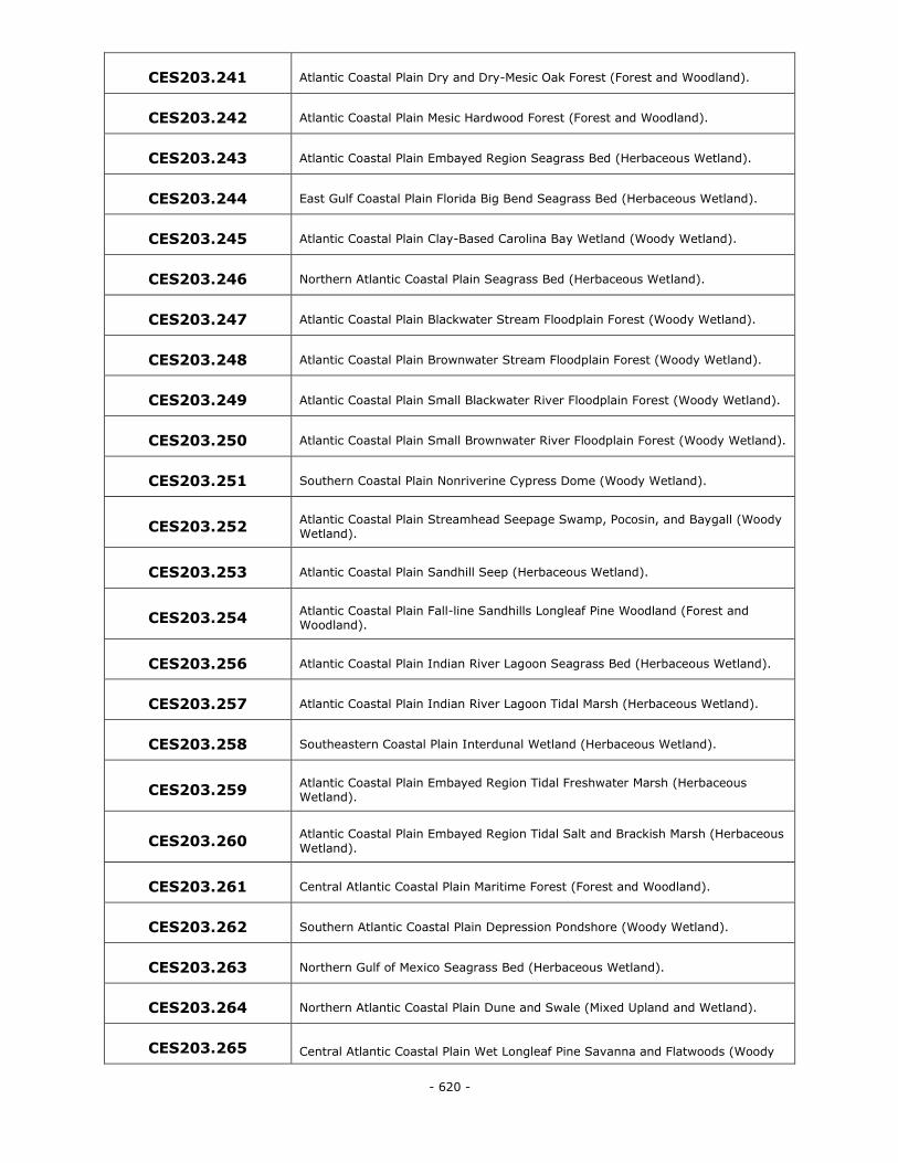
- 620 -
CES203.241 Atlantic Coastal Plain Dry and Dry-Mesic Oak Forest (Forest and Woodland).
CES203.242 Atlantic Coastal Plain Mesic Hardwood Forest (Forest and Woodland).
CES203.243 Atlantic Coastal Plain Embayed Region Seagrass Bed (Herbaceous Wetland).
CES203.244 East Gulf Coastal Plain Florida Big Bend Seagrass Bed (Herbaceous Wetland).
CES203.245 Atlantic Coastal Plain Clay-Based Carolina Bay Wetland (Woody Wetland).
CES203.246 Northern Atlantic Coastal Plain Seagrass Bed (Herbaceous Wetland).
CES203.247 Atlantic Coastal Plain Blackwater Stream Floodplain Forest (Woody Wetland).
CES203.248 Atlantic Coastal Plain Brownwater Stream Floodplain Forest (Woody Wetland).
CES203.249 Atlantic Coastal Plain Small Blackwater River Floodplain Forest (Woody Wetland).
CES203.250 Atlantic Coastal Plain Small Brownwater River Floodplain Forest (Woody Wetland).
CES203.251 Southern Coastal Plain Nonriverine Cypress Dome (Woody Wetland).
CES203.252 Atlantic Coastal Plain Streamhead Seepage Swamp, Pocosin, and Baygall (Woody Wetland).
CES203.253 Atlantic Coastal Plain Sandhill Seep (Herbaceous Wetland).
CES203.254 Atlantic Coastal Plain Fall-line Sandhills Longleaf Pine Woodland (Forest and Woodland).
CES203.256 Atlantic Coastal Plain Indian River Lagoon Seagrass Bed (Herbaceous Wetland).
CES203.257 Atlantic Coastal Plain Indian River Lagoon Tidal Marsh (Herbaceous Wetland).
CES203.258 Southeastern Coastal Plain Interdunal Wetland (Herbaceous Wetland).
CES203.259 Atlantic Coastal Plain Embayed Region Tidal Freshwater Marsh (Herbaceous Wetland).
CES203.260 Atlantic Coastal Plain Embayed Region Tidal Salt and Brackish Marsh (Herbaceous
Wetland).
CES203.261 Central Atlantic Coastal Plain Maritime Forest (Forest and Woodland).
CES203.262 Southern Atlantic Coastal Plain Depression Pondshore (Woody Wetland).
CES203.263 Northern Gulf of Mexico Seagrass Bed (Herbaceous Wetland).
CES203.264 Northern Atlantic Coastal Plain Dune and Swale (Mixed Upland and Wetland).
CES203.265 Central Atlantic Coastal Plain Wet Longleaf Pine Savanna and Flatwoods (Woody
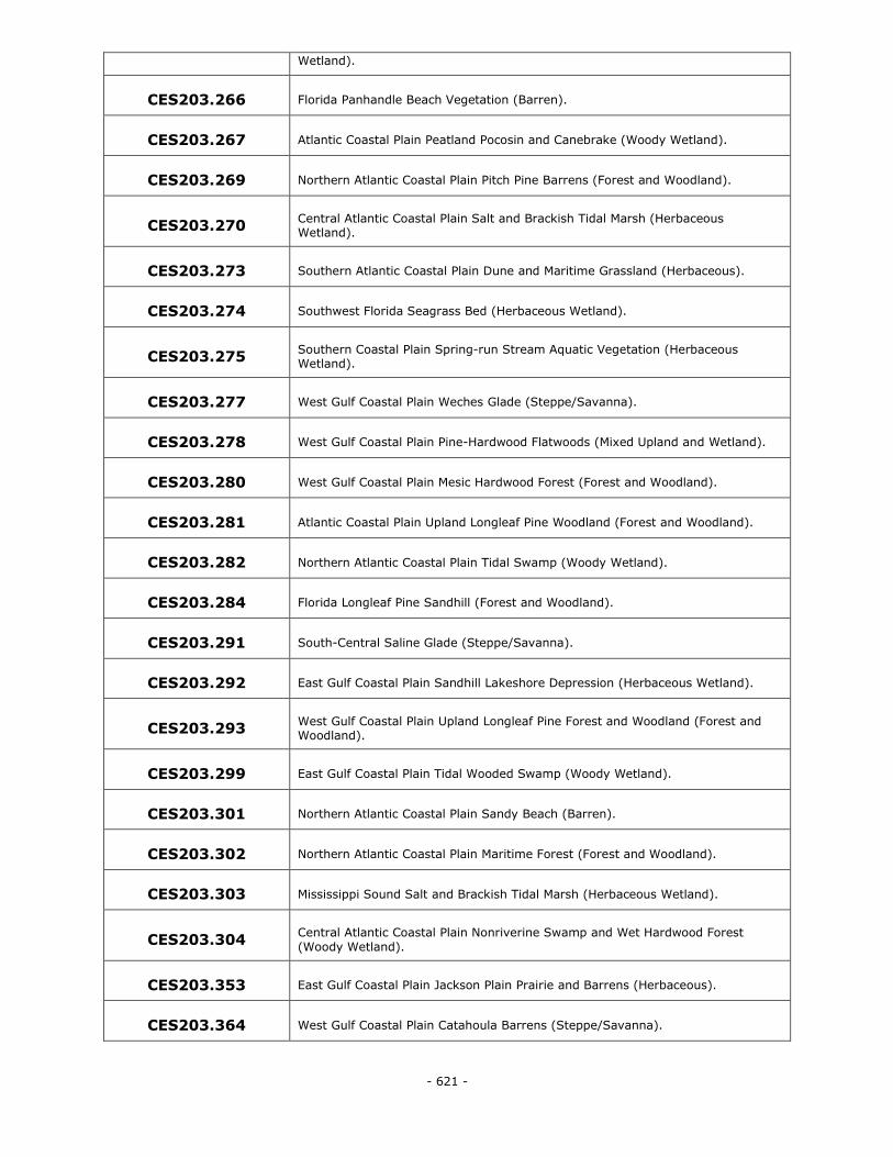
- 621 -
Wetland).
CES203.266 Florida Panhandle Beach Vegetation (Barren).
CES203.267 Atlantic Coastal Plain Peatland Pocosin and Canebrake (Woody Wetland).
CES203.269 Northern Atlantic Coastal Plain Pitch Pine Barrens (Forest and Woodland).
CES203.270 Central Atlantic Coastal Plain Salt and Brackish Tidal Marsh (Herbaceous Wetland).
CES203.273 Southern Atlantic Coastal Plain Dune and Maritime Grassland (Herbaceous).
CES203.274 Southwest Florida Seagrass Bed (Herbaceous Wetland).
CES203.275 Southern Coastal Plain Spring-run Stream Aquatic Vegetation (Herbaceous Wetland).
CES203.277 West Gulf Coastal Plain Weches Glade (Steppe/Savanna).
CES203.278 West Gulf Coastal Plain Pine-Hardwood Flatwoods (Mixed Upland and Wetland).
CES203.280 West Gulf Coastal Plain Mesic Hardwood Forest (Forest and Woodland).
CES203.281 Atlantic Coastal Plain Upland Longleaf Pine Woodland (Forest and Woodland).
CES203.282 Northern Atlantic Coastal Plain Tidal Swamp (Woody Wetland).
CES203.284 Florida Longleaf Pine Sandhill (Forest and Woodland).
CES203.291 South-Central Saline Glade (Steppe/Savanna).
CES203.292 East Gulf Coastal Plain Sandhill Lakeshore Depression (Herbaceous Wetland).
CES203.293 West Gulf Coastal Plain Upland Longleaf Pine Forest and Woodland (Forest and Woodland).
CES203.299 East Gulf Coastal Plain Tidal Wooded Swamp (Woody Wetland).
CES203.301 Northern Atlantic Coastal Plain Sandy Beach (Barren).
CES203.302 Northern Atlantic Coastal Plain Maritime Forest (Forest and Woodland).
CES203.303 Mississippi Sound Salt and Brackish Tidal Marsh (Herbaceous Wetland).
CES203.304 Central Atlantic Coastal Plain Nonriverine Swamp and Wet Hardwood Forest
(Woody Wetland).
CES203.353 East Gulf Coastal Plain Jackson Plain Prairie and Barrens (Herbaceous).
CES203.364 West Gulf Coastal Plain Catahoula Barrens (Steppe/Savanna).
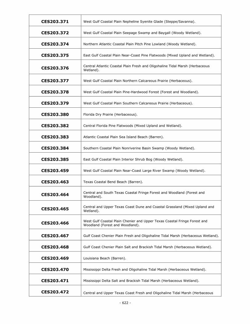
- 622 -
CES203.371 West Gulf Coastal Plain Nepheline Syenite Glade (Steppe/Savanna).
CES203.372 West Gulf Coastal Plain Seepage Swamp and Baygall (Woody Wetland).
CES203.374 Northern Atlantic Coastal Plain Pitch Pine Lowland (Woody Wetland).
CES203.375 East Gulf Coastal Plain Near-Coast Pine Flatwoods (Mixed Upland and Wetland).
CES203.376 Central Atlantic Coastal Plain Fresh and Oligohaline Tidal Marsh (Herbaceous
Wetland).
CES203.377 West Gulf Coastal Plain Northern Calcareous Prairie (Herbaceous).
CES203.378 West Gulf Coastal Plain Pine-Hardwood Forest (Forest and Woodland).
CES203.379 West Gulf Coastal Plain Southern Calcareous Prairie (Herbaceous).
CES203.380 Florida Dry Prairie (Herbaceous).
CES203.382 Central Florida Pine Flatwoods (Mixed Upland and Wetland).
CES203.383 Atlantic Coastal Plain Sea Island Beach (Barren).
CES203.384 Southern Coastal Plain Nonriverine Basin Swamp (Woody Wetland).
CES203.385 East Gulf Coastal Plain Interior Shrub Bog (Woody Wetland).
CES203.459 West Gulf Coastal Plain Near-Coast Large River Swamp (Woody Wetland).
CES203.463 Texas Coastal Bend Beach (Barren).
CES203.464 Central and South Texas Coastal Fringe Forest and Woodland (Forest and Woodland).
CES203.465 Central and Upper Texas Coast Dune and Coastal Grassland (Mixed Upland and
Wetland).
CES203.466 West Gulf Coastal Plain Chenier and Upper Texas Coastal Fringe Forest and Woodland (Forest and Woodland).
CES203.467 Gulf Coast Chenier Plain Fresh and Oligohaline Tidal Marsh (Herbaceous Wetland).
CES203.468 Gulf Coast Chenier Plain Salt and Brackish Tidal Marsh (Herbaceous Wetland).
CES203.469 Louisiana Beach (Barren).
CES203.470 Mississippi Delta Fresh and Oligohaline Tidal Marsh (Herbaceous Wetland).
CES203.471 Mississippi Delta Salt and Brackish Tidal Marsh (Herbaceous Wetland).
CES203.472 Central and Upper Texas Coast Fresh and Oligohaline Tidal Marsh (Herbaceous
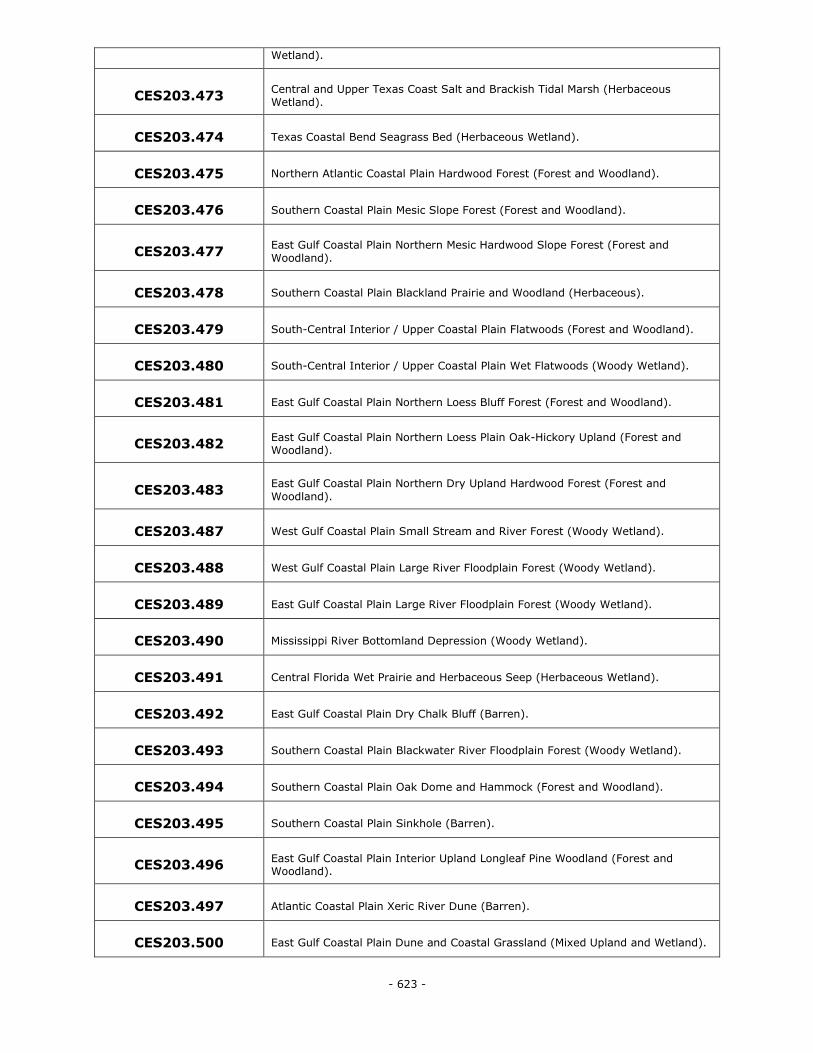
- 623 -
Wetland).
CES203.473 Central and Upper Texas Coast Salt and Brackish Tidal Marsh (Herbaceous
Wetland).
CES203.474 Texas Coastal Bend Seagrass Bed (Herbaceous Wetland).
CES203.475 Northern Atlantic Coastal Plain Hardwood Forest (Forest and Woodland).
CES203.476 Southern Coastal Plain Mesic Slope Forest (Forest and Woodland).
CES203.477 East Gulf Coastal Plain Northern Mesic Hardwood Slope Forest (Forest and
Woodland).
CES203.478 Southern Coastal Plain Blackland Prairie and Woodland (Herbaceous).
CES203.479 South-Central Interior / Upper Coastal Plain Flatwoods (Forest and Woodland).
CES203.480 South-Central Interior / Upper Coastal Plain Wet Flatwoods (Woody Wetland).
CES203.481 East Gulf Coastal Plain Northern Loess Bluff Forest (Forest and Woodland).
CES203.482 East Gulf Coastal Plain Northern Loess Plain Oak-Hickory Upland (Forest and Woodland).
CES203.483 East Gulf Coastal Plain Northern Dry Upland Hardwood Forest (Forest and
Woodland).
CES203.487 West Gulf Coastal Plain Small Stream and River Forest (Woody Wetland).
CES203.488 West Gulf Coastal Plain Large River Floodplain Forest (Woody Wetland).
CES203.489 East Gulf Coastal Plain Large River Floodplain Forest (Woody Wetland).
CES203.490 Mississippi River Bottomland Depression (Woody Wetland).
CES203.491 Central Florida Wet Prairie and Herbaceous Seep (Herbaceous Wetland).
CES203.492 East Gulf Coastal Plain Dry Chalk Bluff (Barren).
CES203.493 Southern Coastal Plain Blackwater River Floodplain Forest (Woody Wetland).
CES203.494 Southern Coastal Plain Oak Dome and Hammock (Forest and Woodland).
CES203.495 Southern Coastal Plain Sinkhole (Barren).
CES203.496 East Gulf Coastal Plain Interior Upland Longleaf Pine Woodland (Forest and Woodland).
CES203.497 Atlantic Coastal Plain Xeric River Dune (Barren).
CES203.500 East Gulf Coastal Plain Dune and Coastal Grassland (Mixed Upland and Wetland).
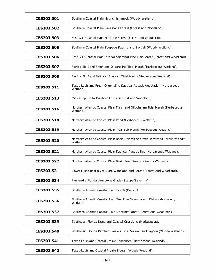
- 624 -
CES203.501 Southern Coastal Plain Hydric Hammock (Woody Wetland).
CES203.502 Southern Coastal Plain Limestone Forest (Forest and Woodland).
CES203.503 East Gulf Coastal Plain Maritime Forest (Forest and Woodland).
CES203.505 Southern Coastal Plain Seepage Swamp and Baygall (Woody Wetland).
CES203.506 East Gulf Coastal Plain Interior Shortleaf Pine-Oak Forest (Forest and Woodland).
CES203.507 Florida Big Bend Fresh and Oligohaline Tidal Marsh (Herbaceous Wetland).
CES203.508 Florida Big Bend Salt and Brackish Tidal Marsh (Herbaceous Wetland).
CES203.511 Texas-Louisiana Fresh-Oligohaline Subtidal Aquatic Vegetation (Herbaceous Wetland).
CES203.513 Mississippi Delta Maritime Forest (Forest and Woodland).
CES203.516 Northern Atlantic Coastal Plain Fresh and Oligohaline Tidal Marsh (Herbaceous Wetland).
CES203.518 Northern Atlantic Coastal Plain Pond (Herbaceous Wetland).
CES203.519 Northern Atlantic Coastal Plain Tidal Salt Marsh (Herbaceous Wetland).
CES203.520 Northern Atlantic Coastal Plain Basin Swamp and Wet Hardwood Forest (Woody Wetland).
CES203.521 Northern Atlantic Coastal Plain Subtidal Aquatic Bed (Herbaceous Wetland).
CES203.522 Northern Atlantic Coastal Plain Basin Peat Swamp (Woody Wetland).
CES203.531 Lower Mississippi River Dune Woodland and Forest (Forest and Woodland).
CES203.534 Panhandle Florida Limestone Glade (Steppe/Savanna).
CES203.535 Southern Atlantic Coastal Plain Beach (Barren).
CES203.536 Southern Atlantic Coastal Plain Wet Pine Savanna and Flatwoods (Woody
Wetland).
CES203.537 Southern Atlantic Coastal Plain Maritime Forest (Forest and Woodland).
CES203.539 Southwest Florida Dune and Coastal Grassland (Herbaceous).
CES203.540 Southwest Florida Perched Barriers Tidal Swamp and Lagoon (Woody Wetland).
CES203.541 Texas-Louisiana Coastal Prairie Pondshore (Herbaceous Wetland).
CES203.542 Texas-Louisiana Coastal Prairie Slough (Woody Wetland).
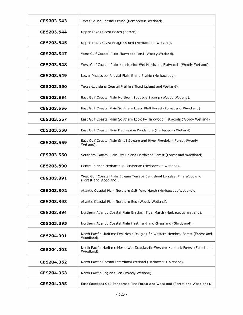
- 625 -
CES203.543 Texas Saline Coastal Prairie (Herbaceous Wetland).
CES203.544 Upper Texas Coast Beach (Barren).
CES203.545 Upper Texas Coast Seagrass Bed (Herbaceous Wetland).
CES203.547 West Gulf Coastal Plain Flatwoods Pond (Woody Wetland).
CES203.548 West Gulf Coastal Plain Nonriverine Wet Hardwood Flatwoods (Woody Wetland).
CES203.549 Lower Mississippi Alluvial Plain Grand Prairie (Herbaceous).
CES203.550 Texas-Louisiana Coastal Prairie (Mixed Upland and Wetland).
CES203.554 East Gulf Coastal Plain Northern Seepage Swamp (Woody Wetland).
CES203.556 East Gulf Coastal Plain Southern Loess Bluff Forest (Forest and Woodland).
CES203.557 East Gulf Coastal Plain Southern Loblolly-Hardwood Flatwoods (Woody Wetland).
CES203.558 East Gulf Coastal Plain Depression Pondshore (Herbaceous Wetland).
CES203.559 East Gulf Coastal Plain Small Stream and River Floodplain Forest (Woody Wetland).
CES203.560 Southern Coastal Plain Dry Upland Hardwood Forest (Forest and Woodland).
CES203.890 Central Florida Herbaceous Pondshore (Herbaceous Wetland).
CES203.891 West Gulf Coastal Plain Stream Terrace Sandyland Longleaf Pine Woodland (Forest and Woodland).
CES203.892 Atlantic Coastal Plain Northern Salt Pond Marsh (Herbaceous Wetland).
CES203.893 Atlantic Coastal Plain Northern Bog (Woody Wetland).
CES203.894 Northern Atlantic Coastal Plain Brackish Tidal Marsh (Herbaceous Wetland).
CES203.895 Northern Atlantic Coastal Plain Heathland and Grassland (Shrubland).
CES204.001 North Pacific Maritime Dry-Mesic Douglas-fir-Western Hemlock Forest (Forest and
Woodland).
CES204.002 North Pacific Maritime Mesic-Wet Douglas-fir-Western Hemlock Forest (Forest and Woodland).
CES204.062 North Pacific Coastal Interdunal Wetland (Herbaceous Wetland).
CES204.063 North Pacific Bog and Fen (Woody Wetland).
CES204.085 East Cascades Oak-Ponderosa Pine Forest and Woodland (Forest and Woodland).
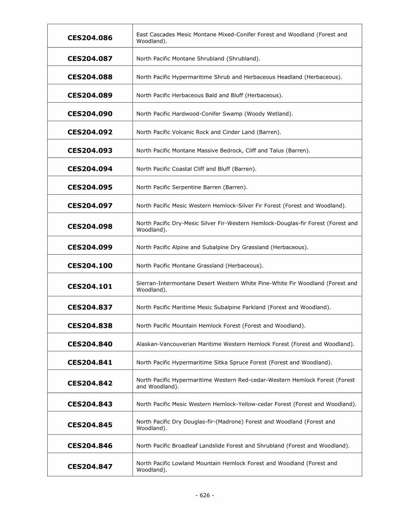
- 626 -
CES204.086 East Cascades Mesic Montane Mixed-Conifer Forest and Woodland (Forest and
Woodland).
CES204.087 North Pacific Montane Shrubland (Shrubland).
CES204.088 North Pacific Hypermaritime Shrub and Herbaceous Headland (Herbaceous).
CES204.089 North Pacific Herbaceous Bald and Bluff (Herbaceous).
CES204.090 North Pacific Hardwood-Conifer Swamp (Woody Wetland).
CES204.092 North Pacific Volcanic Rock and Cinder Land (Barren).
CES204.093 North Pacific Montane Massive Bedrock, Cliff and Talus (Barren).
CES204.094 North Pacific Coastal Cliff and Bluff (Barren).
CES204.095 North Pacific Serpentine Barren (Barren).
CES204.097 North Pacific Mesic Western Hemlock-Silver Fir Forest (Forest and Woodland).
CES204.098 North Pacific Dry-Mesic Silver Fir-Western Hemlock-Douglas-fir Forest (Forest and Woodland).
CES204.099 North Pacific Alpine and Subalpine Dry Grassland (Herbaceous).
CES204.100 North Pacific Montane Grassland (Herbaceous).
CES204.101 Sierran-Intermontane Desert Western White Pine-White Fir Woodland (Forest and Woodland).
CES204.837 North Pacific Maritime Mesic Subalpine Parkland (Forest and Woodland).
CES204.838 North Pacific Mountain Hemlock Forest (Forest and Woodland).
CES204.840 Alaskan-Vancouverian Maritime Western Hemlock Forest (Forest and Woodland).
CES204.841 North Pacific Hypermaritime Sitka Spruce Forest (Forest and Woodland).
CES204.842 North Pacific Hypermaritime Western Red-cedar-Western Hemlock Forest (Forest
and Woodland).
CES204.843 North Pacific Mesic Western Hemlock-Yellow-cedar Forest (Forest and Woodland).
CES204.845 North Pacific Dry Douglas-fir-(Madrone) Forest and Woodland (Forest and Woodland).
CES204.846 North Pacific Broadleaf Landslide Forest and Shrubland (Forest and Woodland).
CES204.847 North Pacific Lowland Mountain Hemlock Forest and Woodland (Forest and Woodland).
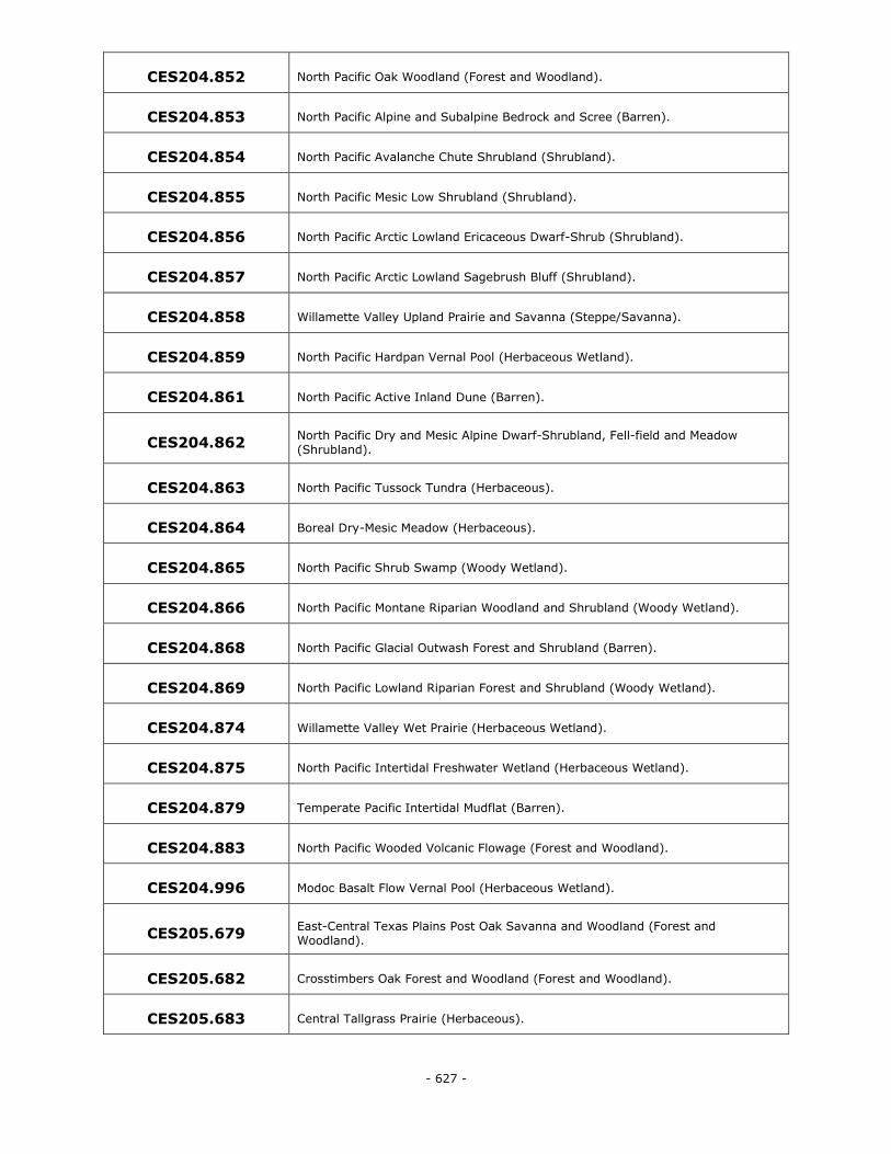
- 627 -
CES204.852 North Pacific Oak Woodland (Forest and Woodland).
CES204.853 North Pacific Alpine and Subalpine Bedrock and Scree (Barren).
CES204.854 North Pacific Avalanche Chute Shrubland (Shrubland).
CES204.855 North Pacific Mesic Low Shrubland (Shrubland).
CES204.856 North Pacific Arctic Lowland Ericaceous Dwarf-Shrub (Shrubland).
CES204.857 North Pacific Arctic Lowland Sagebrush Bluff (Shrubland).
CES204.858 Willamette Valley Upland Prairie and Savanna (Steppe/Savanna).
CES204.859 North Pacific Hardpan Vernal Pool (Herbaceous Wetland).
CES204.861 North Pacific Active Inland Dune (Barren).
CES204.862 North Pacific Dry and Mesic Alpine Dwarf-Shrubland, Fell-field and Meadow
(Shrubland).
CES204.863 North Pacific Tussock Tundra (Herbaceous).
CES204.864 Boreal Dry-Mesic Meadow (Herbaceous).
CES204.865 North Pacific Shrub Swamp (Woody Wetland).
CES204.866 North Pacific Montane Riparian Woodland and Shrubland (Woody Wetland).
CES204.868 North Pacific Glacial Outwash Forest and Shrubland (Barren).
CES204.869 North Pacific Lowland Riparian Forest and Shrubland (Woody Wetland).
CES204.874 Willamette Valley Wet Prairie (Herbaceous Wetland).
CES204.875 North Pacific Intertidal Freshwater Wetland (Herbaceous Wetland).
CES204.879 Temperate Pacific Intertidal Mudflat (Barren).
CES204.883 North Pacific Wooded Volcanic Flowage (Forest and Woodland).
CES204.996 Modoc Basalt Flow Vernal Pool (Herbaceous Wetland).
CES205.679 East-Central Texas Plains Post Oak Savanna and Woodland (Forest and
Woodland).
CES205.682 Crosstimbers Oak Forest and Woodland (Forest and Woodland).
CES205.683 Central Tallgrass Prairie (Herbaceous).
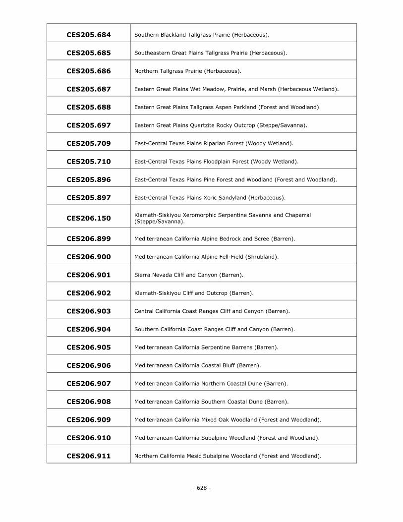
- 628 -
CES205.684 Southern Blackland Tallgrass Prairie (Herbaceous).
CES205.685 Southeastern Great Plains Tallgrass Prairie (Herbaceous).
CES205.686 Northern Tallgrass Prairie (Herbaceous).
CES205.687 Eastern Great Plains Wet Meadow, Prairie, and Marsh (Herbaceous Wetland).
CES205.688 Eastern Great Plains Tallgrass Aspen Parkland (Forest and Woodland).
CES205.697 Eastern Great Plains Quartzite Rocky Outcrop (Steppe/Savanna).
CES205.709 East-Central Texas Plains Riparian Forest (Woody Wetland).
CES205.710 East-Central Texas Plains Floodplain Forest (Woody Wetland).
CES205.896 East-Central Texas Plains Pine Forest and Woodland (Forest and Woodland).
CES205.897 East-Central Texas Plains Xeric Sandyland (Herbaceous).
CES206.150 Klamath-Siskiyou Xeromorphic Serpentine Savanna and Chaparral (Steppe/Savanna).
CES206.899 Mediterranean California Alpine Bedrock and Scree (Barren).
CES206.900 Mediterranean California Alpine Fell-Field (Shrubland).
CES206.901 Sierra Nevada Cliff and Canyon (Barren).
CES206.902 Klamath-Siskiyou Cliff and Outcrop (Barren).
CES206.903 Central California Coast Ranges Cliff and Canyon (Barren).
CES206.904 Southern California Coast Ranges Cliff and Canyon (Barren).
CES206.905 Mediterranean California Serpentine Barrens (Barren).
CES206.906 Mediterranean California Coastal Bluff (Barren).
CES206.907 Mediterranean California Northern Coastal Dune (Barren).
CES206.908 Mediterranean California Southern Coastal Dune (Barren).
CES206.909 Mediterranean California Mixed Oak Woodland (Forest and Woodland).
CES206.910 Mediterranean California Subalpine Woodland (Forest and Woodland).
CES206.911 Northern California Mesic Subalpine Woodland (Forest and Woodland).
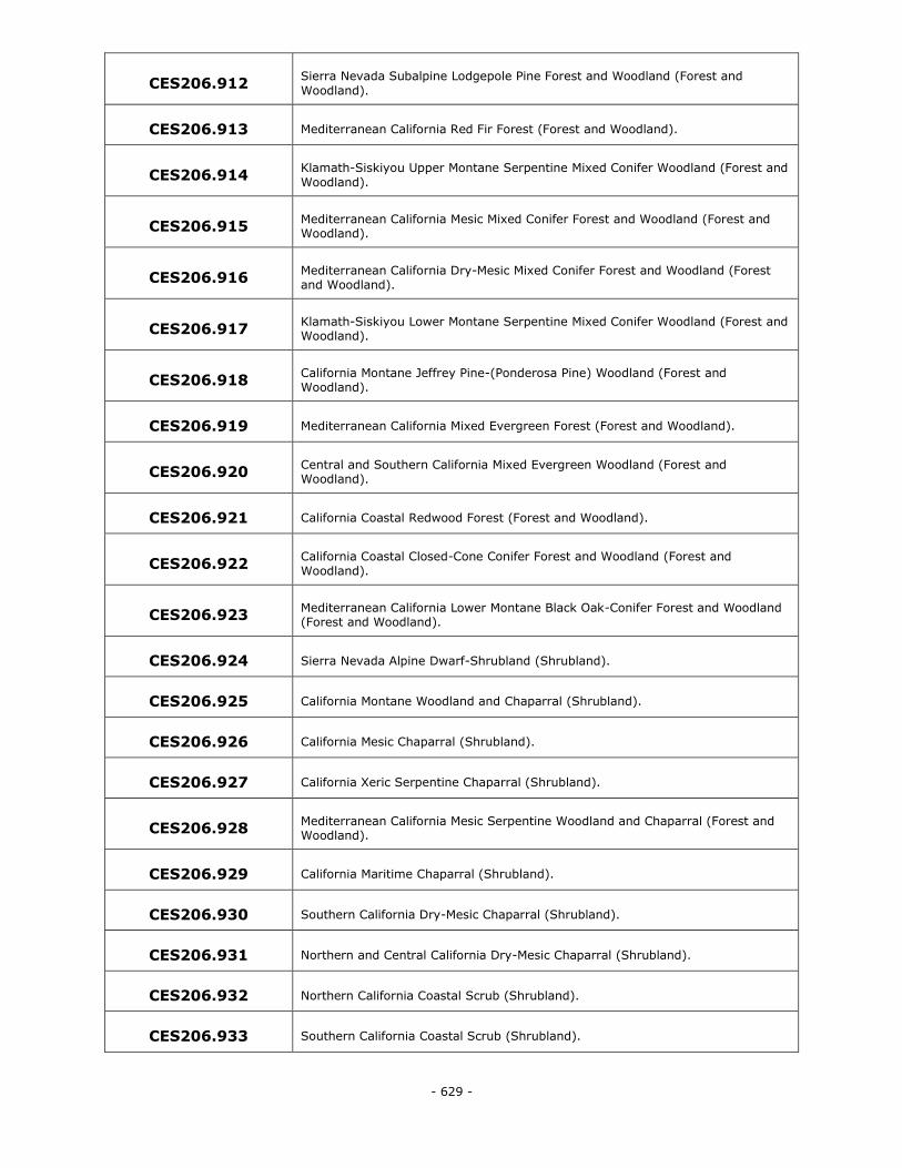
- 629 -
CES206.912 Sierra Nevada Subalpine Lodgepole Pine Forest and Woodland (Forest and
Woodland).
CES206.913 Mediterranean California Red Fir Forest (Forest and Woodland).
CES206.914 Klamath-Siskiyou Upper Montane Serpentine Mixed Conifer Woodland (Forest and
Woodland).
CES206.915 Mediterranean California Mesic Mixed Conifer Forest and Woodland (Forest and Woodland).
CES206.916 Mediterranean California Dry-Mesic Mixed Conifer Forest and Woodland (Forest and Woodland).
CES206.917 Klamath-Siskiyou Lower Montane Serpentine Mixed Conifer Woodland (Forest and Woodland).
CES206.918 California Montane Jeffrey Pine-(Ponderosa Pine) Woodland (Forest and Woodland).
CES206.919 Mediterranean California Mixed Evergreen Forest (Forest and Woodland).
CES206.920 Central and Southern California Mixed Evergreen Woodland (Forest and Woodland).
CES206.921 California Coastal Redwood Forest (Forest and Woodland).
CES206.922 California Coastal Closed-Cone Conifer Forest and Woodland (Forest and
Woodland).
CES206.923 Mediterranean California Lower Montane Black Oak-Conifer Forest and Woodland (Forest and Woodland).
CES206.924 Sierra Nevada Alpine Dwarf-Shrubland (Shrubland).
CES206.925 California Montane Woodland and Chaparral (Shrubland).
CES206.926 California Mesic Chaparral (Shrubland).
CES206.927 California Xeric Serpentine Chaparral (Shrubland).
CES206.928 Mediterranean California Mesic Serpentine Woodland and Chaparral (Forest and Woodland).
CES206.929 California Maritime Chaparral (Shrubland).
CES206.930 Southern California Dry-Mesic Chaparral (Shrubland).
CES206.931 Northern and Central California Dry-Mesic Chaparral (Shrubland).
CES206.932 Northern California Coastal Scrub (Shrubland).
CES206.933 Southern California Coastal Scrub (Shrubland).
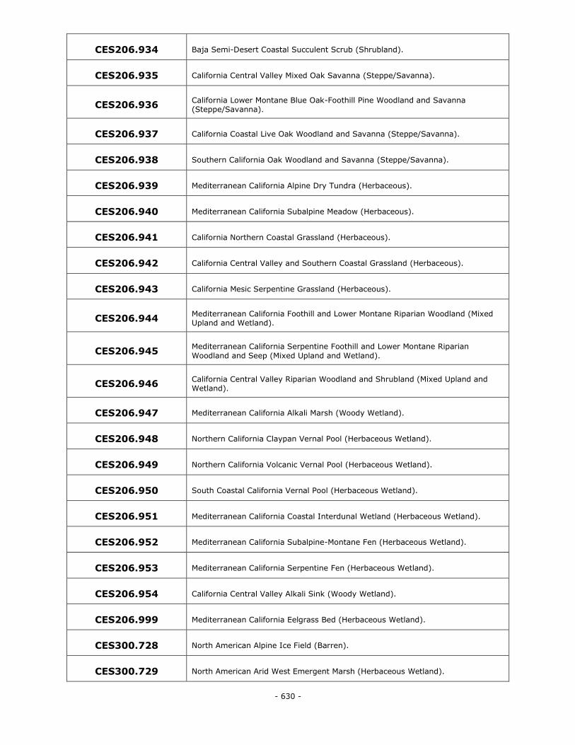
- 630 -
CES206.934 Baja Semi-Desert Coastal Succulent Scrub (Shrubland).
CES206.935 California Central Valley Mixed Oak Savanna (Steppe/Savanna).
CES206.936 California Lower Montane Blue Oak-Foothill Pine Woodland and Savanna (Steppe/Savanna).
CES206.937 California Coastal Live Oak Woodland and Savanna (Steppe/Savanna).
CES206.938 Southern California Oak Woodland and Savanna (Steppe/Savanna).
CES206.939 Mediterranean California Alpine Dry Tundra (Herbaceous).
CES206.940 Mediterranean California Subalpine Meadow (Herbaceous).
CES206.941 California Northern Coastal Grassland (Herbaceous).
CES206.942 California Central Valley and Southern Coastal Grassland (Herbaceous).
CES206.943 California Mesic Serpentine Grassland (Herbaceous).
CES206.944 Mediterranean California Foothill and Lower Montane Riparian Woodland (Mixed Upland and Wetland).
CES206.945 Mediterranean California Serpentine Foothill and Lower Montane Riparian
Woodland and Seep (Mixed Upland and Wetland).
CES206.946 California Central Valley Riparian Woodland and Shrubland (Mixed Upland and Wetland).
CES206.947 Mediterranean California Alkali Marsh (Woody Wetland).
CES206.948 Northern California Claypan Vernal Pool (Herbaceous Wetland).
CES206.949 Northern California Volcanic Vernal Pool (Herbaceous Wetland).
CES206.950 South Coastal California Vernal Pool (Herbaceous Wetland).
CES206.951 Mediterranean California Coastal Interdunal Wetland (Herbaceous Wetland).
CES206.952 Mediterranean California Subalpine-Montane Fen (Herbaceous Wetland).
CES206.953 Mediterranean California Serpentine Fen (Herbaceous Wetland).
CES206.954 California Central Valley Alkali Sink (Woody Wetland).
CES206.999 Mediterranean California Eelgrass Bed (Herbaceous Wetland).
CES300.728 North American Alpine Ice Field (Barren).
CES300.729 North American Arid West Emergent Marsh (Herbaceous Wetland).
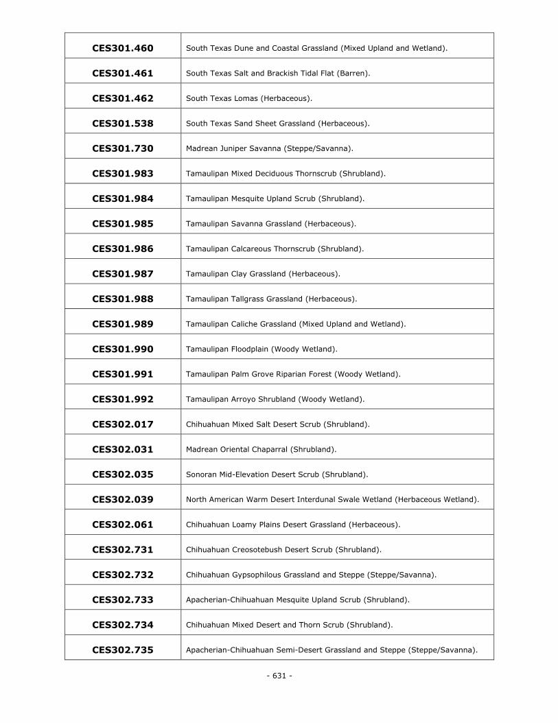
- 631 -
CES301.460 South Texas Dune and Coastal Grassland (Mixed Upland and Wetland).
CES301.461 South Texas Salt and Brackish Tidal Flat (Barren).
CES301.462 South Texas Lomas (Herbaceous).
CES301.538 South Texas Sand Sheet Grassland (Herbaceous).
CES301.730 Madrean Juniper Savanna (Steppe/Savanna).
CES301.983 Tamaulipan Mixed Deciduous Thornscrub (Shrubland).
CES301.984 Tamaulipan Mesquite Upland Scrub (Shrubland).
CES301.985 Tamaulipan Savanna Grassland (Herbaceous).
CES301.986 Tamaulipan Calcareous Thornscrub (Shrubland).
CES301.987 Tamaulipan Clay Grassland (Herbaceous).
CES301.988 Tamaulipan Tallgrass Grassland (Herbaceous).
CES301.989 Tamaulipan Caliche Grassland (Mixed Upland and Wetland).
CES301.990 Tamaulipan Floodplain (Woody Wetland).
CES301.991 Tamaulipan Palm Grove Riparian Forest (Woody Wetland).
CES301.992 Tamaulipan Arroyo Shrubland (Woody Wetland).
CES302.017 Chihuahuan Mixed Salt Desert Scrub (Shrubland).
CES302.031 Madrean Oriental Chaparral (Shrubland).
CES302.035 Sonoran Mid-Elevation Desert Scrub (Shrubland).
CES302.039 North American Warm Desert Interdunal Swale Wetland (Herbaceous Wetland).
CES302.061 Chihuahuan Loamy Plains Desert Grassland (Herbaceous).
CES302.731 Chihuahuan Creosotebush Desert Scrub (Shrubland).
CES302.732 Chihuahuan Gypsophilous Grassland and Steppe (Steppe/Savanna).
CES302.733 Apacherian-Chihuahuan Mesquite Upland Scrub (Shrubland).
CES302.734 Chihuahuan Mixed Desert and Thorn Scrub (Shrubland).
CES302.735 Apacherian-Chihuahuan Semi-Desert Grassland and Steppe (Steppe/Savanna).
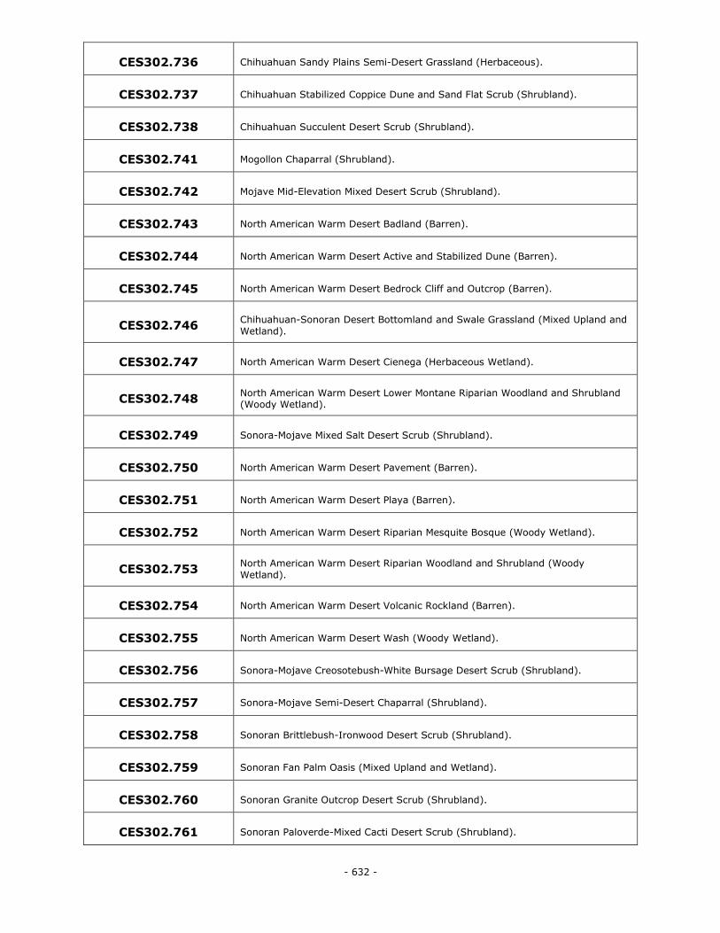
- 632 -
CES302.736 Chihuahuan Sandy Plains Semi-Desert Grassland (Herbaceous).
CES302.737 Chihuahuan Stabilized Coppice Dune and Sand Flat Scrub (Shrubland).
CES302.738 Chihuahuan Succulent Desert Scrub (Shrubland).
CES302.741 Mogollon Chaparral (Shrubland).
CES302.742 Mojave Mid-Elevation Mixed Desert Scrub (Shrubland).
CES302.743 North American Warm Desert Badland (Barren).
CES302.744 North American Warm Desert Active and Stabilized Dune (Barren).
CES302.745 North American Warm Desert Bedrock Cliff and Outcrop (Barren).
CES302.746 Chihuahuan-Sonoran Desert Bottomland and Swale Grassland (Mixed Upland and
Wetland).
CES302.747 North American Warm Desert Cienega (Herbaceous Wetland).
CES302.748 North American Warm Desert Lower Montane Riparian Woodland and Shrubland (Woody Wetland).
CES302.749 Sonora-Mojave Mixed Salt Desert Scrub (Shrubland).
CES302.750 North American Warm Desert Pavement (Barren).
CES302.751 North American Warm Desert Playa (Barren).
CES302.752 North American Warm Desert Riparian Mesquite Bosque (Woody Wetland).
CES302.753 North American Warm Desert Riparian Woodland and Shrubland (Woody
Wetland).
CES302.754 North American Warm Desert Volcanic Rockland (Barren).
CES302.755 North American Warm Desert Wash (Woody Wetland).
CES302.756 Sonora-Mojave Creosotebush-White Bursage Desert Scrub (Shrubland).
CES302.757 Sonora-Mojave Semi-Desert Chaparral (Shrubland).
CES302.758 Sonoran Brittlebush-Ironwood Desert Scrub (Shrubland).
CES302.759 Sonoran Fan Palm Oasis (Mixed Upland and Wetland).
CES302.760 Sonoran Granite Outcrop Desert Scrub (Shrubland).
CES302.761 Sonoran Paloverde-Mixed Cacti Desert Scrub (Shrubland).
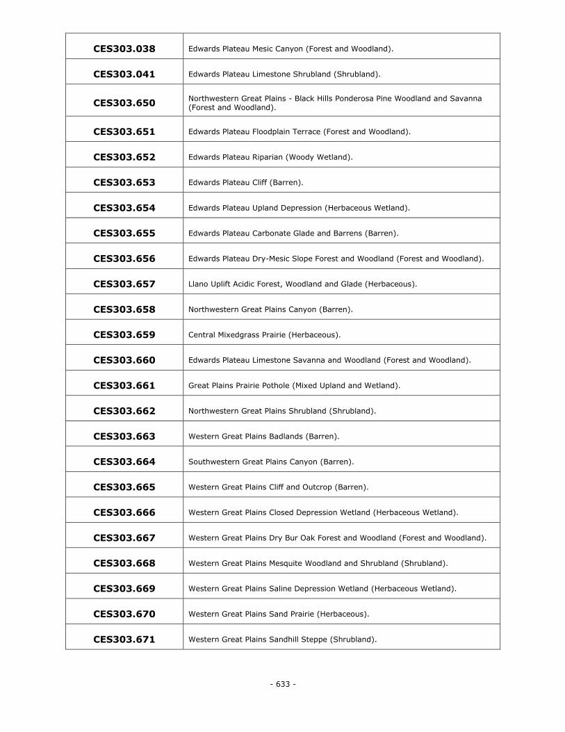
- 633 -
CES303.038 Edwards Plateau Mesic Canyon (Forest and Woodland).
CES303.041 Edwards Plateau Limestone Shrubland (Shrubland).
CES303.650 Northwestern Great Plains - Black Hills Ponderosa Pine Woodland and Savanna (Forest and Woodland).
CES303.651 Edwards Plateau Floodplain Terrace (Forest and Woodland).
CES303.652 Edwards Plateau Riparian (Woody Wetland).
CES303.653 Edwards Plateau Cliff (Barren).
CES303.654 Edwards Plateau Upland Depression (Herbaceous Wetland).
CES303.655 Edwards Plateau Carbonate Glade and Barrens (Barren).
CES303.656 Edwards Plateau Dry-Mesic Slope Forest and Woodland (Forest and Woodland).
CES303.657 Llano Uplift Acidic Forest, Woodland and Glade (Herbaceous).
CES303.658 Northwestern Great Plains Canyon (Barren).
CES303.659 Central Mixedgrass Prairie (Herbaceous).
CES303.660 Edwards Plateau Limestone Savanna and Woodland (Forest and Woodland).
CES303.661 Great Plains Prairie Pothole (Mixed Upland and Wetland).
CES303.662 Northwestern Great Plains Shrubland (Shrubland).
CES303.663 Western Great Plains Badlands (Barren).
CES303.664 Southwestern Great Plains Canyon (Barren).
CES303.665 Western Great Plains Cliff and Outcrop (Barren).
CES303.666 Western Great Plains Closed Depression Wetland (Herbaceous Wetland).
CES303.667 Western Great Plains Dry Bur Oak Forest and Woodland (Forest and Woodland).
CES303.668 Western Great Plains Mesquite Woodland and Shrubland (Shrubland).
CES303.669 Western Great Plains Saline Depression Wetland (Herbaceous Wetland).
CES303.670 Western Great Plains Sand Prairie (Herbaceous).
CES303.671 Western Great Plains Sandhill Steppe (Shrubland).
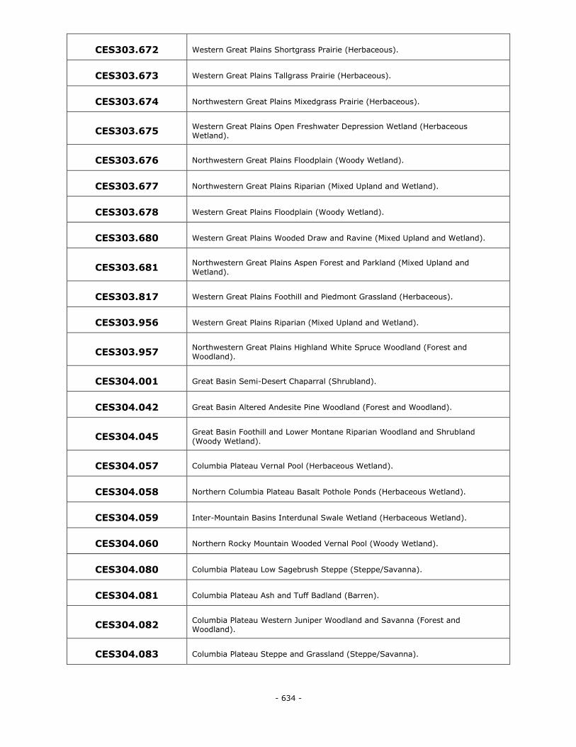
- 634 -
CES303.672 Western Great Plains Shortgrass Prairie (Herbaceous).
CES303.673 Western Great Plains Tallgrass Prairie (Herbaceous).
CES303.674 Northwestern Great Plains Mixedgrass Prairie (Herbaceous).
CES303.675 Western Great Plains Open Freshwater Depression Wetland (Herbaceous Wetland).
CES303.676 Northwestern Great Plains Floodplain (Woody Wetland).
CES303.677 Northwestern Great Plains Riparian (Mixed Upland and Wetland).
CES303.678 Western Great Plains Floodplain (Woody Wetland).
CES303.680 Western Great Plains Wooded Draw and Ravine (Mixed Upland and Wetland).
CES303.681 Northwestern Great Plains Aspen Forest and Parkland (Mixed Upland and
Wetland).
CES303.817 Western Great Plains Foothill and Piedmont Grassland (Herbaceous).
CES303.956 Western Great Plains Riparian (Mixed Upland and Wetland).
CES303.957 Northwestern Great Plains Highland White Spruce Woodland (Forest and
Woodland).
CES304.001 Great Basin Semi-Desert Chaparral (Shrubland).
CES304.042 Great Basin Altered Andesite Pine Woodland (Forest and Woodland).
CES304.045 Great Basin Foothill and Lower Montane Riparian Woodland and Shrubland
(Woody Wetland).
CES304.057 Columbia Plateau Vernal Pool (Herbaceous Wetland).
CES304.058 Northern Columbia Plateau Basalt Pothole Ponds (Herbaceous Wetland).
CES304.059 Inter-Mountain Basins Interdunal Swale Wetland (Herbaceous Wetland).
CES304.060 Northern Rocky Mountain Wooded Vernal Pool (Woody Wetland).
CES304.080 Columbia Plateau Low Sagebrush Steppe (Steppe/Savanna).
CES304.081 Columbia Plateau Ash and Tuff Badland (Barren).
CES304.082 Columbia Plateau Western Juniper Woodland and Savanna (Forest and Woodland).
CES304.083 Columbia Plateau Steppe and Grassland (Steppe/Savanna).
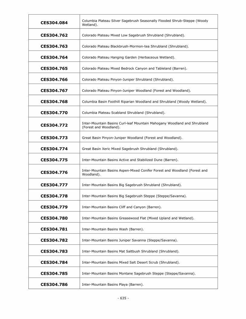
- 635 -
CES304.084 Columbia Plateau Silver Sagebrush Seasonally Flooded Shrub-Steppe (Woody
Wetland).
CES304.762 Colorado Plateau Mixed Low Sagebrush Shrubland (Shrubland).
CES304.763 Colorado Plateau Blackbrush-Mormon-tea Shrubland (Shrubland).
CES304.764 Colorado Plateau Hanging Garden (Herbaceous Wetland).
CES304.765 Colorado Plateau Mixed Bedrock Canyon and Tableland (Barren).
CES304.766 Colorado Plateau Pinyon-Juniper Shrubland (Shrubland).
CES304.767 Colorado Plateau Pinyon-Juniper Woodland (Forest and Woodland).
CES304.768 Columbia Basin Foothill Riparian Woodland and Shrubland (Woody Wetland).
CES304.770 Columbia Plateau Scabland Shrubland (Shrubland).
CES304.772 Inter-Mountain Basins Curl-leaf Mountain Mahogany Woodland and Shrubland (Forest and Woodland).
CES304.773 Great Basin Pinyon-Juniper Woodland (Forest and Woodland).
CES304.774 Great Basin Xeric Mixed Sagebrush Shrubland (Shrubland).
CES304.775 Inter-Mountain Basins Active and Stabilized Dune (Barren).
CES304.776 Inter-Mountain Basins Aspen-Mixed Conifer Forest and Woodland (Forest and Woodland).
CES304.777 Inter-Mountain Basins Big Sagebrush Shrubland (Shrubland).
CES304.778 Inter-Mountain Basins Big Sagebrush Steppe (Steppe/Savanna).
CES304.779 Inter-Mountain Basins Cliff and Canyon (Barren).
CES304.780 Inter-Mountain Basins Greasewood Flat (Mixed Upland and Wetland).
CES304.781 Inter-Mountain Basins Wash (Barren).
CES304.782 Inter-Mountain Basins Juniper Savanna (Steppe/Savanna).
CES304.783 Inter-Mountain Basins Mat Saltbush Shrubland (Shrubland).
CES304.784 Inter-Mountain Basins Mixed Salt Desert Scrub (Shrubland).
CES304.785 Inter-Mountain Basins Montane Sagebrush Steppe (Steppe/Savanna).
CES304.786 Inter-Mountain Basins Playa (Barren).
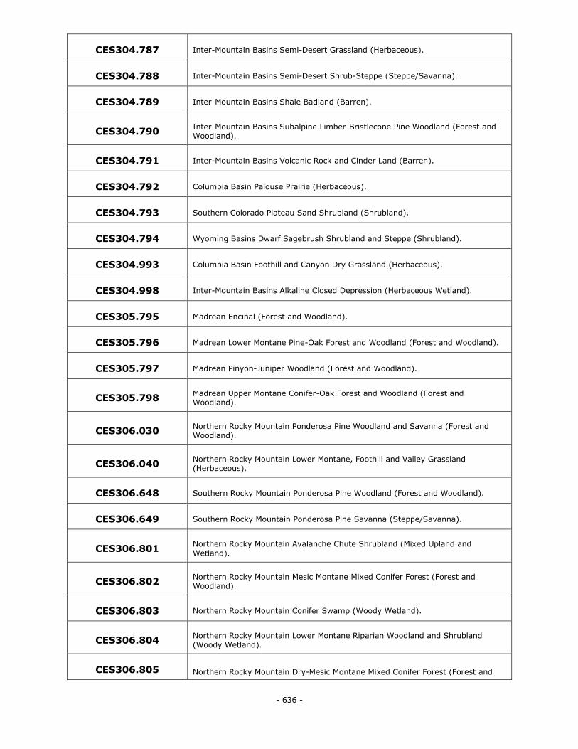
- 636 -
CES304.787 Inter-Mountain Basins Semi-Desert Grassland (Herbaceous).
CES304.788 Inter-Mountain Basins Semi-Desert Shrub-Steppe (Steppe/Savanna).
CES304.789 Inter-Mountain Basins Shale Badland (Barren).
CES304.790 Inter-Mountain Basins Subalpine Limber-Bristlecone Pine Woodland (Forest and Woodland).
CES304.791 Inter-Mountain Basins Volcanic Rock and Cinder Land (Barren).
CES304.792 Columbia Basin Palouse Prairie (Herbaceous).
CES304.793 Southern Colorado Plateau Sand Shrubland (Shrubland).
CES304.794 Wyoming Basins Dwarf Sagebrush Shrubland and Steppe (Shrubland).
CES304.993 Columbia Basin Foothill and Canyon Dry Grassland (Herbaceous).
CES304.998 Inter-Mountain Basins Alkaline Closed Depression (Herbaceous Wetland).
CES305.795 Madrean Encinal (Forest and Woodland).
CES305.796 Madrean Lower Montane Pine-Oak Forest and Woodland (Forest and Woodland).
CES305.797 Madrean Pinyon-Juniper Woodland (Forest and Woodland).
CES305.798 Madrean Upper Montane Conifer-Oak Forest and Woodland (Forest and Woodland).
CES306.030 Northern Rocky Mountain Ponderosa Pine Woodland and Savanna (Forest and Woodland).
CES306.040 Northern Rocky Mountain Lower Montane, Foothill and Valley Grassland (Herbaceous).
CES306.648 Southern Rocky Mountain Ponderosa Pine Woodland (Forest and Woodland).
CES306.649 Southern Rocky Mountain Ponderosa Pine Savanna (Steppe/Savanna).
CES306.801 Northern Rocky Mountain Avalanche Chute Shrubland (Mixed Upland and
Wetland).
CES306.802 Northern Rocky Mountain Mesic Montane Mixed Conifer Forest (Forest and Woodland).
CES306.803 Northern Rocky Mountain Conifer Swamp (Woody Wetland).
CES306.804 Northern Rocky Mountain Lower Montane Riparian Woodland and Shrubland (Woody Wetland).
CES306.805 Northern Rocky Mountain Dry-Mesic Montane Mixed Conifer Forest (Forest and
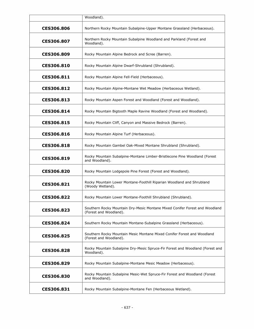
- 637 -
Woodland).
CES306.806 Northern Rocky Mountain Subalpine-Upper Montane Grassland (Herbaceous).
CES306.807 Northern Rocky Mountain Subalpine Woodland and Parkland (Forest and Woodland).
CES306.809 Rocky Mountain Alpine Bedrock and Scree (Barren).
CES306.810 Rocky Mountain Alpine Dwarf-Shrubland (Shrubland).
CES306.811 Rocky Mountain Alpine Fell-Field (Herbaceous).
CES306.812 Rocky Mountain Alpine-Montane Wet Meadow (Herbaceous Wetland).
CES306.813 Rocky Mountain Aspen Forest and Woodland (Forest and Woodland).
CES306.814 Rocky Mountain Bigtooth Maple Ravine Woodland (Forest and Woodland).
CES306.815 Rocky Mountain Cliff, Canyon and Massive Bedrock (Barren).
CES306.816 Rocky Mountain Alpine Turf (Herbaceous).
CES306.818 Rocky Mountain Gambel Oak-Mixed Montane Shrubland (Shrubland).
CES306.819 Rocky Mountain Subalpine-Montane Limber-Bristlecone Pine Woodland (Forest and Woodland).
CES306.820 Rocky Mountain Lodgepole Pine Forest (Forest and Woodland).
CES306.821 Rocky Mountain Lower Montane-Foothill Riparian Woodland and Shrubland (Woody Wetland).
CES306.822 Rocky Mountain Lower Montane-Foothill Shrubland (Shrubland).
CES306.823 Southern Rocky Mountain Dry-Mesic Montane Mixed Conifer Forest and Woodland
(Forest and Woodland).
CES306.824 Southern Rocky Mountain Montane-Subalpine Grassland (Herbaceous).
CES306.825 Southern Rocky Mountain Mesic Montane Mixed Conifer Forest and Woodland (Forest and Woodland).
CES306.828 Rocky Mountain Subalpine Dry-Mesic Spruce-Fir Forest and Woodland (Forest and
Woodland).
CES306.829 Rocky Mountain Subalpine-Montane Mesic Meadow (Herbaceous).
CES306.830 Rocky Mountain Subalpine Mesic-Wet Spruce-Fir Forest and Woodland (Forest
and Woodland).
CES306.831 Rocky Mountain Subalpine-Montane Fen (Herbaceous Wetland).
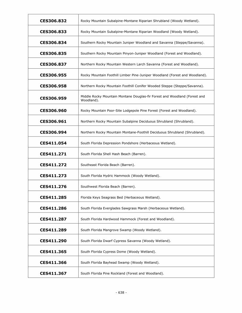
- 638 -
CES306.832 Rocky Mountain Subalpine-Montane Riparian Shrubland (Woody Wetland).
CES306.833 Rocky Mountain Subalpine-Montane Riparian Woodland (Woody Wetland).
CES306.834 Southern Rocky Mountain Juniper Woodland and Savanna (Steppe/Savanna).
CES306.835 Southern Rocky Mountain Pinyon-Juniper Woodland (Forest and Woodland).
CES306.837 Northern Rocky Mountain Western Larch Savanna (Forest and Woodland).
CES306.955 Rocky Mountain Foothill Limber Pine-Juniper Woodland (Forest and Woodland).
CES306.958 Northern Rocky Mountain Foothill Conifer Wooded Steppe (Steppe/Savanna).
CES306.959 Middle Rocky Mountain Montane Douglas-fir Forest and Woodland (Forest and Woodland).
CES306.960 Rocky Mountain Poor-Site Lodgepole Pine Forest (Forest and Woodland).
CES306.961 Northern Rocky Mountain Subalpine Deciduous Shrubland (Shrubland).
CES306.994 Northern Rocky Mountain Montane-Foothill Deciduous Shrubland (Shrubland).
CES411.054 South Florida Depression Pondshore (Herbaceous Wetland).
CES411.271 South Florida Shell Hash Beach (Barren).
CES411.272 Southeast Florida Beach (Barren).
CES411.273 South Florida Hydric Hammock (Woody Wetland).
CES411.276 Southwest Florida Beach (Barren).
CES411.285 Florida Keys Seagrass Bed (Herbaceous Wetland).
CES411.286 South Florida Everglades Sawgrass Marsh (Herbaceous Wetland).
CES411.287 South Florida Hardwood Hammock (Forest and Woodland).
CES411.289 South Florida Mangrove Swamp (Woody Wetland).
CES411.290 South Florida Dwarf Cypress Savanna (Woody Wetland).
CES411.365 South Florida Cypress Dome (Woody Wetland).
CES411.366 South Florida Bayhead Swamp (Woody Wetland).
CES411.367 South Florida Pine Rockland (Forest and Woodland).
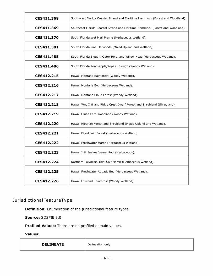
- 639 -
CES411.368 Southwest Florida Coastal Strand and Maritime Hammock (Forest and Woodland).
CES411.369 Southeast Florida Coastal Strand and Maritime Hammock (Forest and Woodland).
CES411.370 South Florida Wet Marl Prairie (Herbaceous Wetland).
CES411.381 South Florida Pine Flatwoods (Mixed Upland and Wetland).
CES411.485 South Florida Slough, Gator Hole, and Willow Head (Herbaceous Wetland).
CES411.486 South Florida Pond-apple/Popash Slough (Woody Wetland).
CES412.215 Hawaii Montane Rainforest (Woody Wetland).
CES412.216 Hawaii Montane Bog (Herbaceous Wetland).
CES412.217 Hawaii Montane Cloud Forest (Woody Wetland).
CES412.218 Hawaii Wet Cliff and Ridge Crest Dwarf Forest and Shrubland (Shrubland).
CES412.219 Hawaii Uluhe Fern Woodland (Woody Wetland).
CES412.220 Hawaii Riparian Forest and Shrubland (Mixed Upland and Wetland).
CES412.221 Hawaii Floodplain Forest (Herbaceous Wetland).
CES412.222 Hawaii Freshwater Marsh (Herbaceous Wetland).
CES412.223 Hawaii Ihiihiluakea Vernal Pool (Herbaceous).
CES412.224 Northern Polynesia Tidal Salt Marsh (Herbaceous Wetland).
CES412.225 Hawaii Freshwater Aquatic Bed (Herbaceous Wetland).
CES412.226 Hawaii Lowland Rainforest (Woody Wetland).
JurisdictionalFeatureType
Definition: Enumeration of the jurisdictional feature types.
Source: SDSFIE 3.0
Profiled Values: There are no profiled domain values.
Values:
DELINEATE Delineation only.
- 640 -
ISOLATE Isolated (interstate or intrastate) waters, including isolated wetlands.
NRPW Non-RPWs that flow directly or indirectly into TNWs.
NRPWW Wetlands adjacent to non-RPWs that flow directly or indirectly into TNWs.
RPW Relatively Permanent Waters (RPWs) that flow directly or indirectly into
TNWs.
RPWWD Wetlands directly abutting RPWs that flow directly or indirectly into
TNWs.
RPWWN Wetlands adjacent to but not directly abutting RPWs that flow directly or
indirectly into TNWs.
TNW Traditional Navigable Waters (TNW), including territorial seas.
TNWRPW Tributary consisting of both RPWs and non-RPWs.
TNWW Wetlands adjacent to TNWs.
UPLAND Uplands.
JurisdictionType
Definition: Enumeration of jurisdiction types for land parcels.
Source: HQMC
Profiled Values: There are no profiled domain values
Values:
Exclusive Federal government takes all obligations for law enforcement.
Proprietary Federal government has no obligations for law enforcement.
Concurrent Federal government shares law enforcement obligations with state and
local officers.
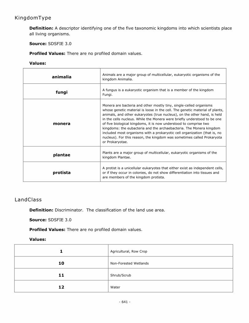
- 641 -
KingdomType
Definition: A descriptor identifying one of the five taxonomic kingdoms into which scientists place
all living organisms.
Source: SDSFIE 3.0
Profiled Values: There are no profiled domain values.
Values:
animalia Animals are a major group of multicellular, eukaryotic organisms of the
kingdom Animalia.
fungi A fungus is a eukaryotic organism that is a member of the kingdom
Fungi.
monera
Monera are bacteria and other mostly tiny, single-celled organisms
whose genetic material is loose in the cell. The genetic material of plants,
animals, and other eukaryotes (true nucleus), on the other hand, is held
in the cells nucleus. While the Monera were briefly understood to be one
of five biological kingdoms, it is now understood to comprise two
kingdoms: the eubacteria and the archaebacteria. The Monera kingdom
included most organisms with a prokaryotic cell organization (that is, no
nucleus). For this reason, the kingdom was sometimes called Prokaryota
or Prokaryotae.
plantae Plants are a major group of multicellular, eukaryotic organisms of the
kingdom Plantae.
protista A protist is a unicellular eukaryotes that either exist as independent cells,
or if they occur in colonies, do not show differentiation into tissues and
are members of the kingdom protista.
LandClass
Definition: Discriminator. The classification of the land use area.
Source: SDSFIE 3.0
Profiled Values: There are no profiled domain values.
Values:
1 Agricultural, Row Crop
10 Non-Forested Wetlands
11 Shrub/Scrub
12 Water
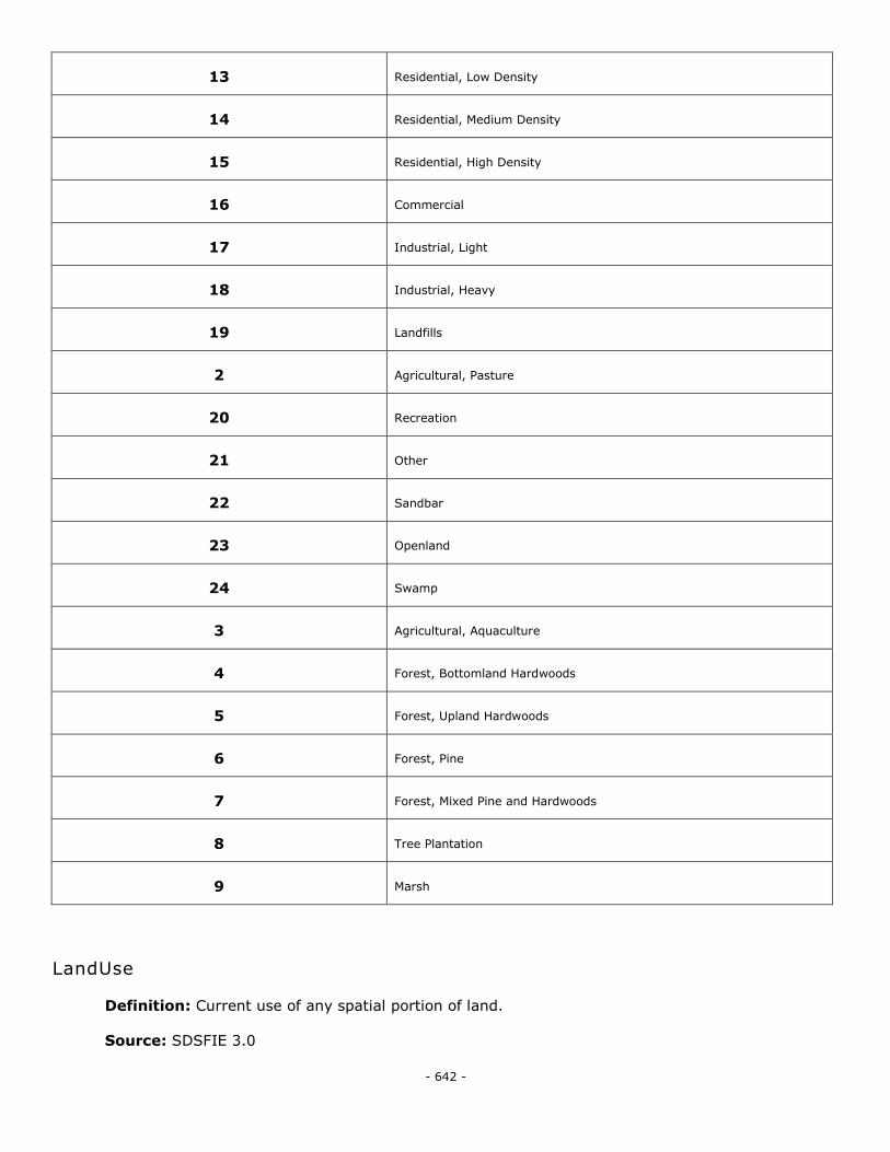
- 642 -
13 Residential, Low Density
14 Residential, Medium Density
15 Residential, High Density
16 Commercial
17 Industrial, Light
18 Industrial, Heavy
19 Landfills
2 Agricultural, Pasture
20 Recreation
21 Other
22 Sandbar
23 Openland
24 Swamp
3 Agricultural, Aquaculture
4 Forest, Bottomland Hardwoods
5 Forest, Upland Hardwoods
6 Forest, Pine
7 Forest, Mixed Pine and Hardwoods
8 Tree Plantation
9 Marsh
LandUse
Definition: Current use of any spatial portion of land.
Source: SDSFIE 3.0
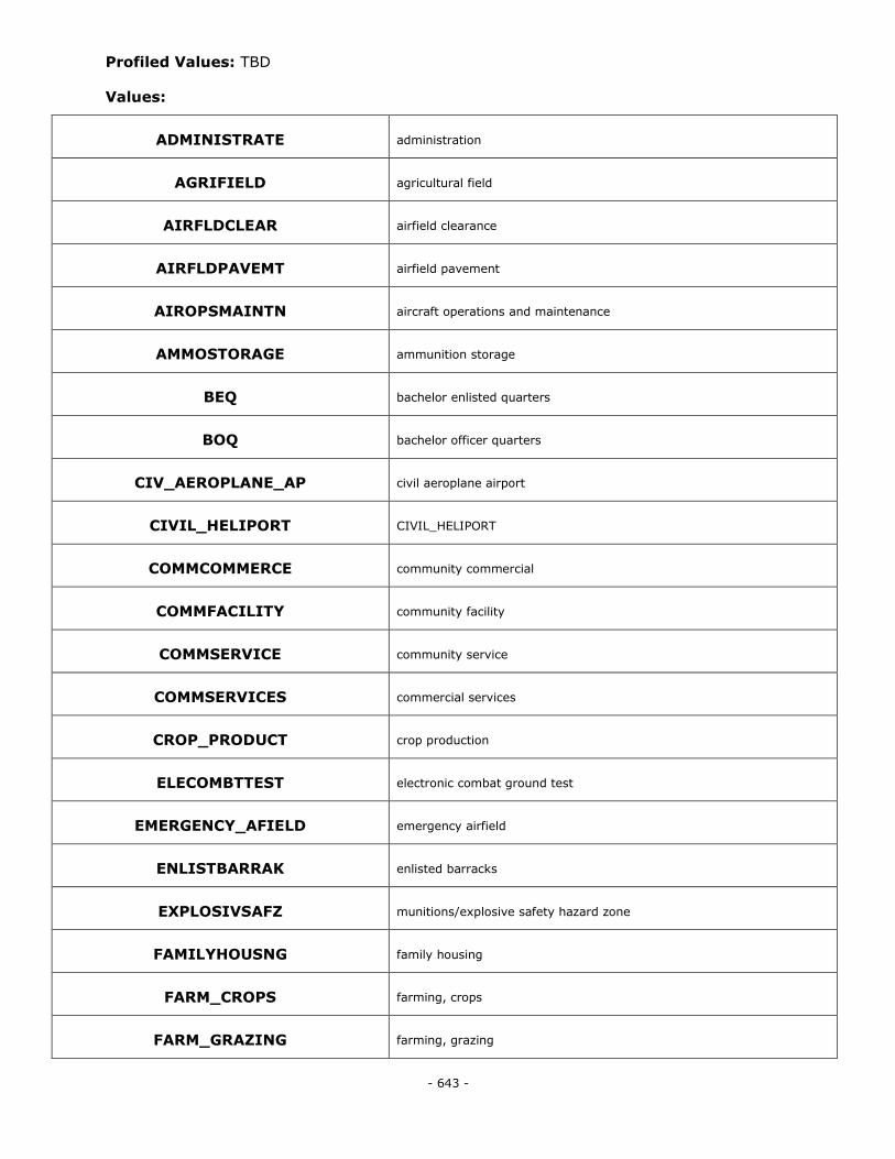
- 643 -
Profiled Values: TBD
Values:
ADMINISTRATE administration
AGRIFIELD agricultural field
AIRFLDCLEAR airfield clearance
AIRFLDPAVEMT airfield pavement
AIROPSMAINTN aircraft operations and maintenance
AMMOSTORAGE ammunition storage
BEQ bachelor enlisted quarters
BOQ bachelor officer quarters
CIV_AEROPLANE_AP civil aeroplane airport
CIVIL_HELIPORT CIVIL_HELIPORT
COMMCOMMERCE community commercial
COMMFACILITY community facility
COMMSERVICE community service
COMMSERVICES commercial services
CROP_PRODUCT crop production
ELECOMBTTEST electronic combat ground test
EMERGENCY_AFIELD emergency airfield
ENLISTBARRAK enlisted barracks
EXPLOSIVSAFZ munitions/explosive safety hazard zone
FAMILYHOUSNG family housing
FARM_CROPS farming, crops
FARM_GRAZING farming, grazing
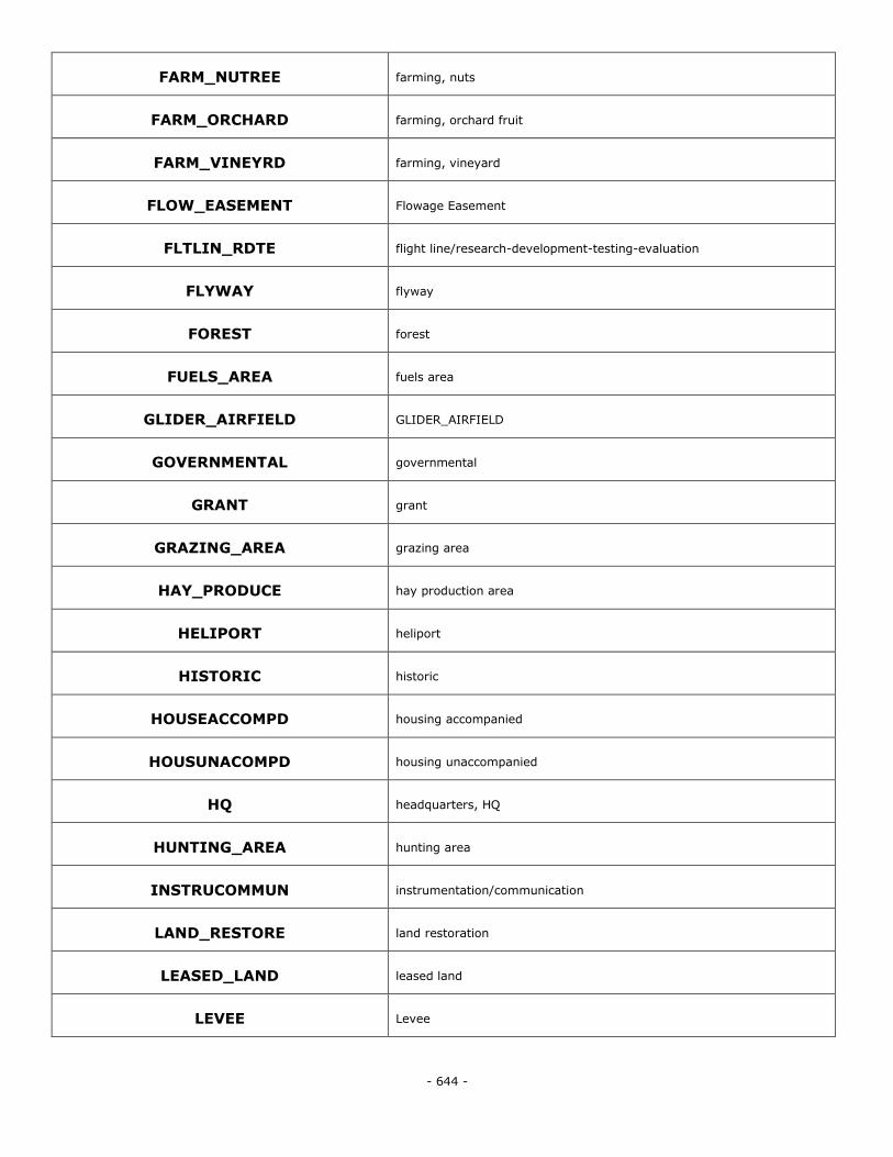
- 644 -
FARM_NUTREE farming, nuts
FARM_ORCHARD farming, orchard fruit
FARM_VINEYRD farming, vineyard
FLOW_EASEMENT Flowage Easement
FLTLIN_RDTE flight line/research-development-testing-evaluation
FLYWAY flyway
FOREST forest
FUELS_AREA fuels area
GLIDER_AIRFIELD GLIDER_AIRFIELD
GOVERNMENTAL governmental
GRANT grant
GRAZING_AREA grazing area
HAY_PRODUCE hay production area
HELIPORT heliport
HISTORIC historic
HOUSEACCOMPD housing accompanied
HOUSUNACOMPD housing unaccompanied
HQ headquarters, HQ
HUNTING_AREA hunting area
INSTRUCOMMUN instrumentation/communication
LAND_RESTORE land restoration
LEASED_LAND leased land
LEVEE Levee
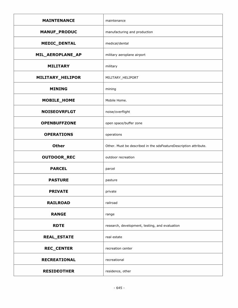
- 645 -
MAINTENANCE maintenance
MANUF_PRODUC manufacturing and production
MEDIC_DENTAL medical/dental
MIL_AEROPLANE_AP military aeroplane airport
MILITARY military
MILITARY_HELIPOR MILITARY_HELIPORT
MINING mining
MOBILE_HOME Mobile Home.
NOISEOVRFLGT noise/overflight
OPENBUFFZONE open space/buffer zone
OPERATIONS operations
Other Other. Must be described in the sdsFeatureDescription attribute.
OUTDOOR_REC outdoor recreation
PARCEL parcel
PASTURE pasture
PRIVATE private
RAILROAD railroad
RANGE range
RDTE research, development, testing, and evaluation
REAL_ESTATE real estate
REC_CENTER recreation center
RECREATIONAL recreational
RESIDEOTHER residence, other
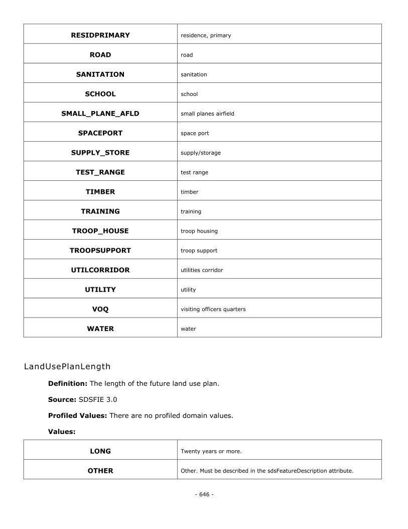
- 646 -
RESIDPRIMARY residence, primary
ROAD road
SANITATION sanitation
SCHOOL school
SMALL_PLANE_AFLD small planes airfield
SPACEPORT space port
SUPPLY_STORE supply/storage
TEST_RANGE test range
TIMBER timber
TRAINING training
TROOP_HOUSE troop housing
TROOPSUPPORT troop support
UTILCORRIDOR utilities corridor
UTILITY utility
VOQ visiting officers quarters
WATER water
LandUsePlanLength
Definition: The length of the future land use plan.
Source: SDSFIE 3.0
Profiled Values: There are no profiled domain values.
Values:
LONG Twenty years or more.
OTHER Other. Must be described in the sdsFeatureDescription attribute.
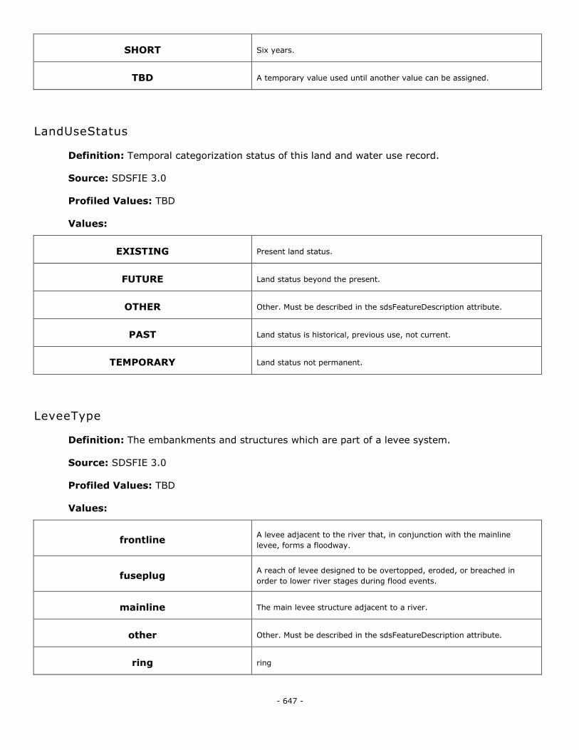
- 647 -
SHORT Six years.
TBD A temporary value used until another value can be assigned.
LandUseStatus
Definition: Temporal categorization status of this land and water use record.
Source: SDSFIE 3.0
Profiled Values: TBD
Values:
EXISTING Present land status.
FUTURE Land status beyond the present.
OTHER Other. Must be described in the sdsFeatureDescription attribute.
PAST Land status is historical, previous use, not current.
TEMPORARY Land status not permanent.
LeveeType
Definition: The embankments and structures which are part of a levee system.
Source: SDSFIE 3.0
Profiled Values: TBD
Values:
frontline A levee adjacent to the river that, in conjunction with the mainline
levee, forms a floodway.
fuseplug A reach of levee designed to be overtopped, eroded, or breached in
order to lower river stages during flood events.
mainline The main levee structure adjacent to a river.
other Other. Must be described in the sdsFeatureDescription attribute.
ring ring
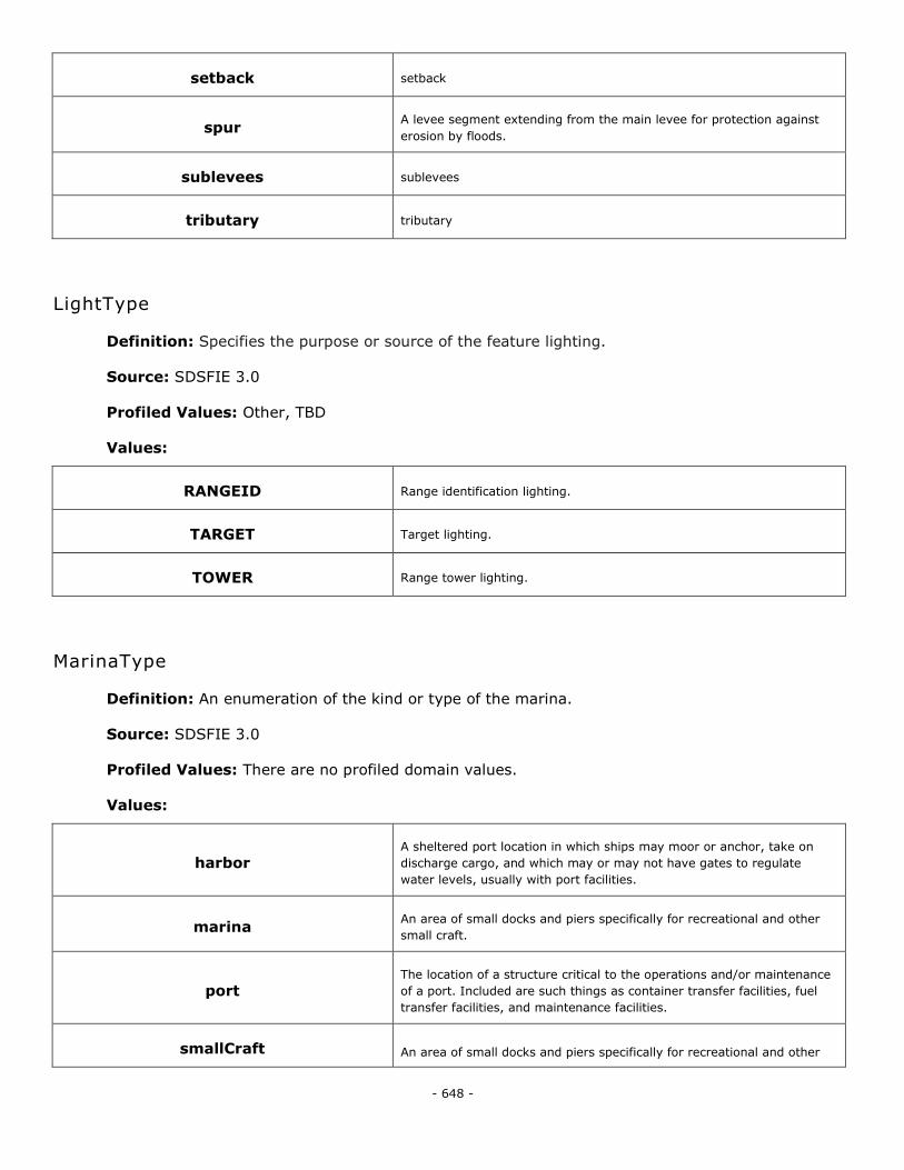
- 648 -
setback setback
spur A levee segment extending from the main levee for protection against
erosion by floods.
sublevees sublevees
tributary tributary
LightType
Definition: Specifies the purpose or source of the feature lighting.
Source: SDSFIE 3.0
Profiled Values: Other, TBD
Values:
RANGEID Range identification lighting.
TARGET Target lighting.
TOWER Range tower lighting.
MarinaType
Definition: An enumeration of the kind or type of the marina.
Source: SDSFIE 3.0
Profiled Values: There are no profiled domain values.
Values:
harbor A sheltered port location in which ships may moor or anchor, take on
discharge cargo, and which may or may not have gates to regulate
water levels, usually with port facilities.
marina An area of small docks and piers specifically for recreational and other
small craft.
port The location of a structure critical to the operations and/or maintenance
of a port. Included are such things as container transfer facilities, fuel
transfer facilities, and maintenance facilities.
smallCraft An area of small docks and piers specifically for recreational and other
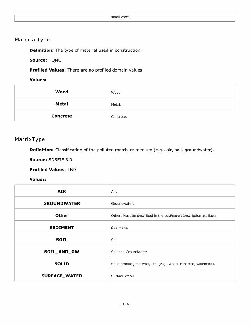
- 649 -
small craft.
MaterialType
Definition: The type of material used in construction.
Source: HQMC
Profiled Values: There are no profiled domain values.
Values:
Wood Wood.
Metal Metal.
Concrete Concrete.
MatrixType
Definition: Classification of the polluted matrix or medium (e.g., air, soil, groundwater).
Source: SDSFIE 3.0
Profiled Values: TBD
Values:
AIR Air.
GROUNDWATER Groundwater.
Other Other. Must be described in the sdsFeatureDescription attribute.
SEDIMENT Sediment.
SOIL Soil.
SOIL_AND_GW Soil and Groundwater.
SOLID Solid product, materiel, etc. (e.g., wood, concrete, wallboard).
SURFACE_WATER Surface water.
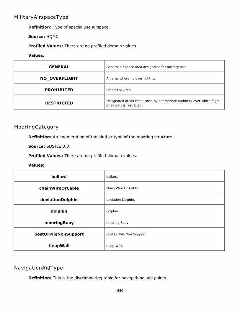
- 650 -
MilitaryAirspaceType
Definition: Type of special use airspace.
Source: HQMC
Profiled Values: There are no profiled domain values.
Values:
GENERAL General air space area designated for military use.
NO_OVERFLIGHT An area where no overflight is.
PROHIBITED Prohibited Area.
RESTRICTED Designated areas established by appropriate authority over which flight
of aircraft is restricted.
MooringCategory
Definition: An enumeration of the kind or type of the mooring structure.
Source: SDSFIE 3.0
Profiled Values: There are no profiled domain values.
Values:
bollard bollard.
chainWireOrCable chain Wire Or Cable.
deviationDolphin deviation Dolphin.
dolphin dolphin.
mooringBuoy mooring Buoy.
postOrPileNonSupport post Or Pile Non Support.
tieupWall tieup Wall.
NavigationAidType
Definition: This is the discriminating table for navigational aid points.
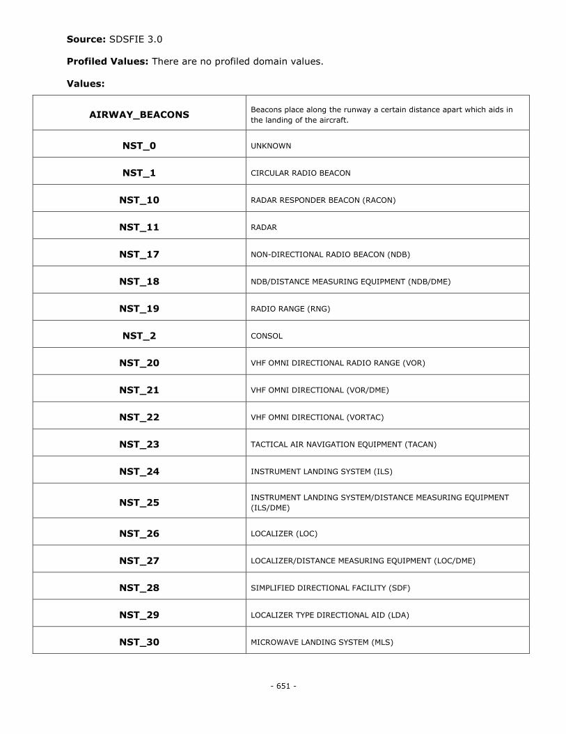
- 651 -
Source: SDSFIE 3.0
Profiled Values: There are no profiled domain values.
Values:
AIRWAY_BEACONS Beacons place along the runway a certain distance apart which aids in
the landing of the aircraft.
NST_0 UNKNOWN
NST_1 CIRCULAR RADIO BEACON
NST_10 RADAR RESPONDER BEACON (RACON)
NST_11 RADAR
NST_17 NON-DIRECTIONAL RADIO BEACON (NDB)
NST_18 NDB/DISTANCE MEASURING EQUIPMENT (NDB/DME)
NST_19 RADIO RANGE (RNG)
NST_2 CONSOL
NST_20 VHF OMNI DIRECTIONAL RADIO RANGE (VOR)
NST_21 VHF OMNI DIRECTIONAL (VOR/DME)
NST_22 VHF OMNI DIRECTIONAL (VORTAC)
NST_23 TACTICAL AIR NAVIGATION EQUIPMENT (TACAN)
NST_24 INSTRUMENT LANDING SYSTEM (ILS)
NST_25 INSTRUMENT LANDING SYSTEM/DISTANCE MEASURING EQUIPMENT
(ILS/DME)
NST_26 LOCALIZER (LOC)
NST_27 LOCALIZER/DISTANCE MEASURING EQUIPMENT (LOC/DME)
NST_28 SIMPLIFIED DIRECTIONAL FACILITY (SDF)
NST_29 LOCALIZER TYPE DIRECTIONAL AID (LDA)
NST_30 MICROWAVE LANDING SYSTEM (MLS)
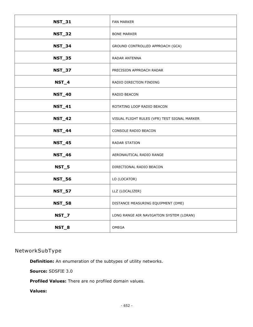
- 652 -
NST_31 FAN MARKER
NST_32 BONE MARKER
NST_34 GROUND CONTROLLED APPROACH (GCA)
NST_35 RADAR ANTENNA
NST_37 PRECISION APPROACH RADAR
NST_4 RADIO DIRECTION FINDING
NST_40 RADIO BEACON
NST_41 ROTATING LOOP RADIO BEACON
NST_42 VISUAL FLIGHT RULES (VFR) TEST SIGNAL MARKER
NST_44 CONSOLE RADIO BEACON
NST_45 RADAR STATION
NST_46 AERONAUTICAL RADIO RANGE
NST_5 DIRECTIONAL RADIO BEACON
NST_56 LO (LOCATOR)
NST_57 LLZ (LOCALIZER)
NST_58 DISTANCE MEASURING EQUIPMENT (DME)
NST_7 LONG RANGE AIR NAVIGATION SYSTEM (LORAN)
NST_8 OMEGA
NetworkSubType
Definition: An enumeration of the subtypes of utility networks.
Source: SDSFIE 3.0
Profiled Values: There are no profiled domain values.
Values:
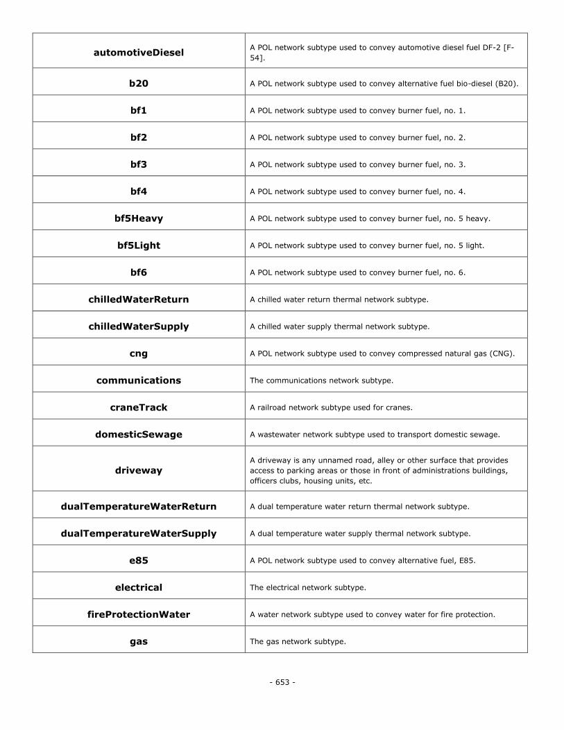
- 653 -
automotiveDiesel A POL network subtype used to convey automotive diesel fuel DF-2 [F-
54].
b20 A POL network subtype used to convey alternative fuel bio-diesel (B20).
bf1 A POL network subtype used to convey burner fuel, no. 1.
bf2 A POL network subtype used to convey burner fuel, no. 2.
bf3 A POL network subtype used to convey burner fuel, no. 3.
bf4 A POL network subtype used to convey burner fuel, no. 4.
bf5Heavy A POL network subtype used to convey burner fuel, no. 5 heavy.
bf5Light A POL network subtype used to convey burner fuel, no. 5 light.
bf6 A POL network subtype used to convey burner fuel, no. 6.
chilledWaterReturn A chilled water return thermal network subtype.
chilledWaterSupply A chilled water supply thermal network subtype.
cng A POL network subtype used to convey compressed natural gas (CNG).
communications The communications network subtype.
craneTrack A railroad network subtype used for cranes.
domesticSewage A wastewater network subtype used to transport domestic sewage.
driveway A driveway is any unnamed road, alley or other surface that provides
access to parking areas or those in front of administrations buildings,
officers clubs, housing units, etc.
dualTemperatureWaterReturn A dual temperature water return thermal network subtype.
dualTemperatureWaterSupply A dual temperature water supply thermal network subtype.
e85 A POL network subtype used to convey alternative fuel, E85.
electrical The electrical network subtype.
fireProtectionWater A water network subtype used to convey water for fire protection.
gas The gas network subtype.
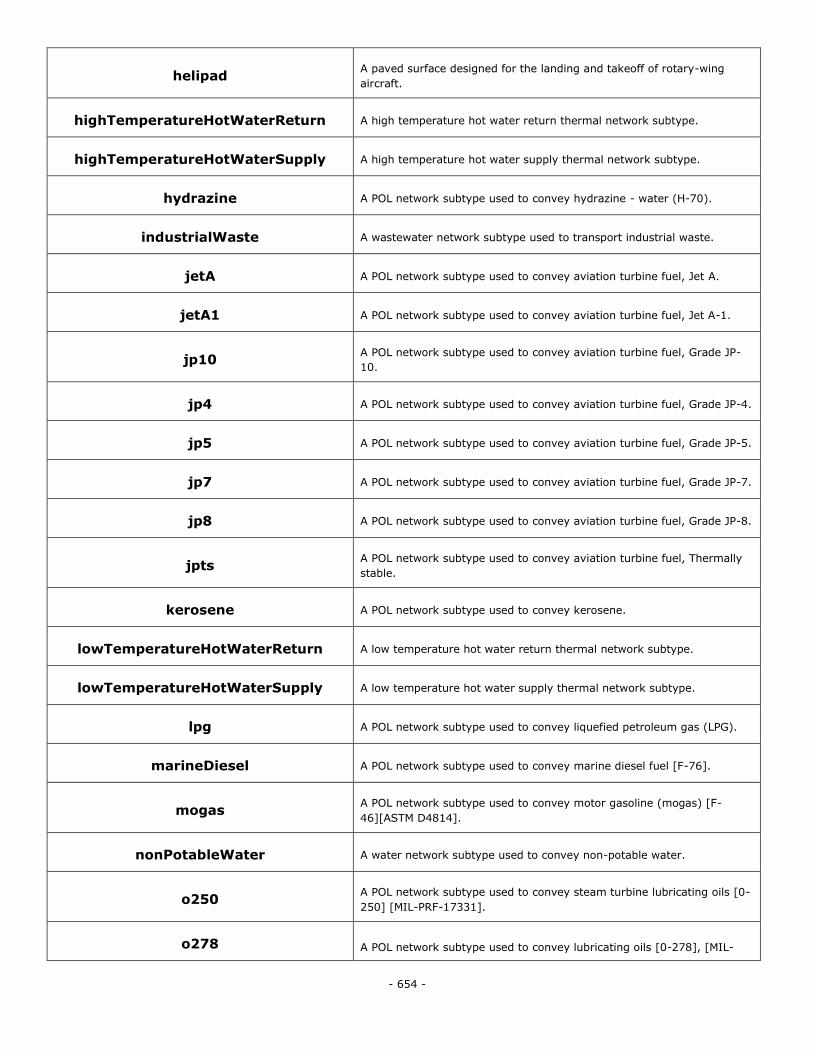
- 654 -
helipad A paved surface designed for the landing and takeoff of rotary-wing
aircraft.
highTemperatureHotWaterReturn A high temperature hot water return thermal network subtype.
highTemperatureHotWaterSupply A high temperature hot water supply thermal network subtype.
hydrazine A POL network subtype used to convey hydrazine - water (H-70).
industrialWaste A wastewater network subtype used to transport industrial waste.
jetA A POL network subtype used to convey aviation turbine fuel, Jet A.
jetA1 A POL network subtype used to convey aviation turbine fuel, Jet A-1.
jp10 A POL network subtype used to convey aviation turbine fuel, Grade JP-
10.
jp4 A POL network subtype used to convey aviation turbine fuel, Grade JP-4.
jp5 A POL network subtype used to convey aviation turbine fuel, Grade JP-5.
jp7 A POL network subtype used to convey aviation turbine fuel, Grade JP-7.
jp8 A POL network subtype used to convey aviation turbine fuel, Grade JP-8.
jpts A POL network subtype used to convey aviation turbine fuel, Thermally
stable.
kerosene A POL network subtype used to convey kerosene.
lowTemperatureHotWaterReturn A low temperature hot water return thermal network subtype.
lowTemperatureHotWaterSupply A low temperature hot water supply thermal network subtype.
lpg A POL network subtype used to convey liquefied petroleum gas (LPG).
marineDiesel A POL network subtype used to convey marine diesel fuel [F-76].
mogas A POL network subtype used to convey motor gasoline (mogas) [F-
46][ASTM D4814].
nonPotableWater A water network subtype used to convey non-potable water.
o250 A POL network subtype used to convey steam turbine lubricating oils [0-
250] [MIL-PRF-17331].
o278 A POL network subtype used to convey lubricating oils [0-278], [MIL-
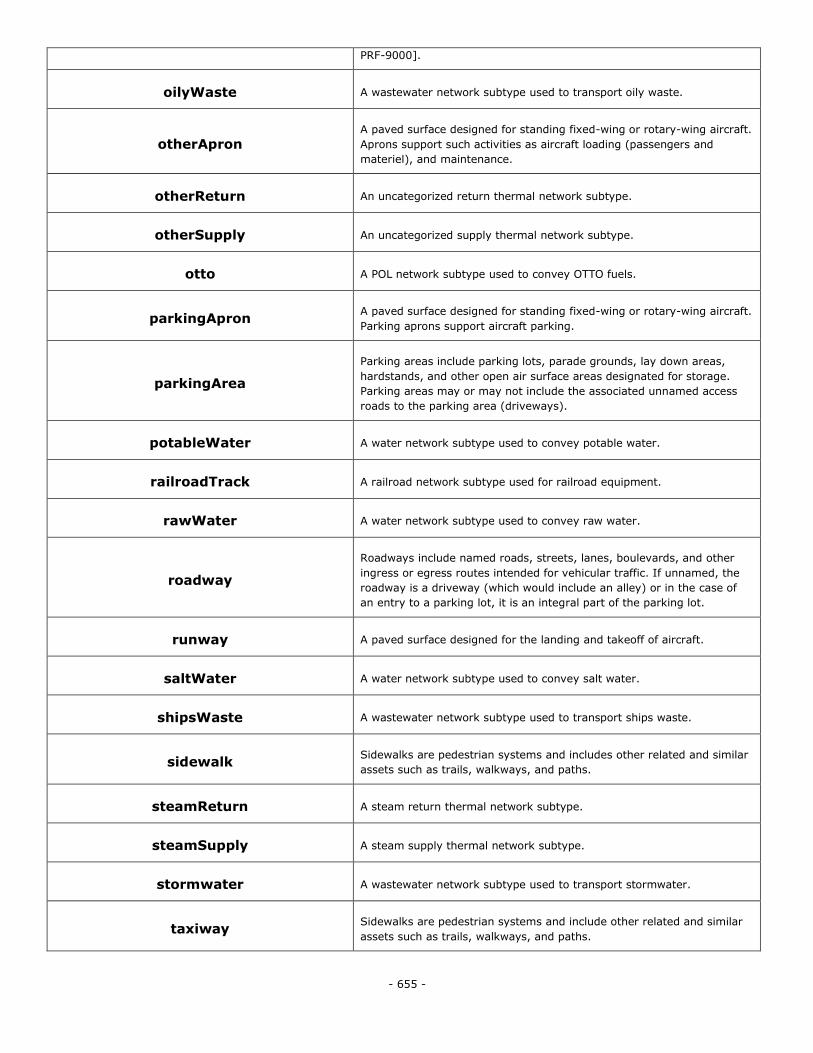
- 655 -
PRF-9000].
oilyWaste A wastewater network subtype used to transport oily waste.
otherApron A paved surface designed for standing fixed-wing or rotary-wing aircraft.
Aprons support such activities as aircraft loading (passengers and
materiel), and maintenance.
otherReturn An uncategorized return thermal network subtype.
otherSupply An uncategorized supply thermal network subtype.
otto A POL network subtype used to convey OTTO fuels.
parkingApron A paved surface designed for standing fixed-wing or rotary-wing aircraft.
Parking aprons support aircraft parking.
parkingArea
Parking areas include parking lots, parade grounds, lay down areas,
hardstands, and other open air surface areas designated for storage.
Parking areas may or may not include the associated unnamed access
roads to the parking area (driveways).
potableWater A water network subtype used to convey potable water.
railroadTrack A railroad network subtype used for railroad equipment.
rawWater A water network subtype used to convey raw water.
roadway
Roadways include named roads, streets, lanes, boulevards, and other
ingress or egress routes intended for vehicular traffic. If unnamed, the
roadway is a driveway (which would include an alley) or in the case of
an entry to a parking lot, it is an integral part of the parking lot.
runway A paved surface designed for the landing and takeoff of aircraft.
saltWater A water network subtype used to convey salt water.
shipsWaste A wastewater network subtype used to transport ships waste.
sidewalk Sidewalks are pedestrian systems and includes other related and similar
assets such as trails, walkways, and paths.
steamReturn A steam return thermal network subtype.
steamSupply A steam supply thermal network subtype.
stormwater A wastewater network subtype used to transport stormwater.
taxiway Sidewalks are pedestrian systems and include other related and similar
assets such as trails, walkways, and paths.
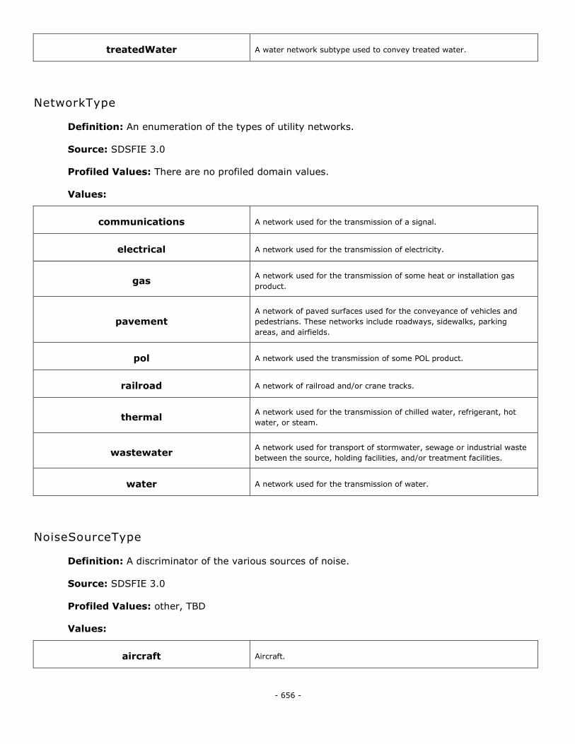
- 656 -
treatedWater A water network subtype used to convey treated water.
NetworkType
Definition: An enumeration of the types of utility networks.
Source: SDSFIE 3.0
Profiled Values: There are no profiled domain values.
Values:
communications A network used for the transmission of a signal.
electrical A network used for the transmission of electricity.
gas A network used for the transmission of some heat or installation gas
product.
pavement A network of paved surfaces used for the conveyance of vehicles and
pedestrians. These networks include roadways, sidewalks, parking
areas, and airfields.
pol A network used the transmission of some POL product.
railroad A network of railroad and/or crane tracks.
thermal A network used for the transmission of chilled water, refrigerant, hot
water, or steam.
wastewater A network used for transport of stormwater, sewage or industrial waste
between the source, holding facilities, and/or treatment facilities.
water A network used for the transmission of water.
NoiseSourceType
Definition: A discriminator of the various sources of noise.
Source: SDSFIE 3.0
Profiled Values: other, TBD
Values:
aircraft Aircraft.
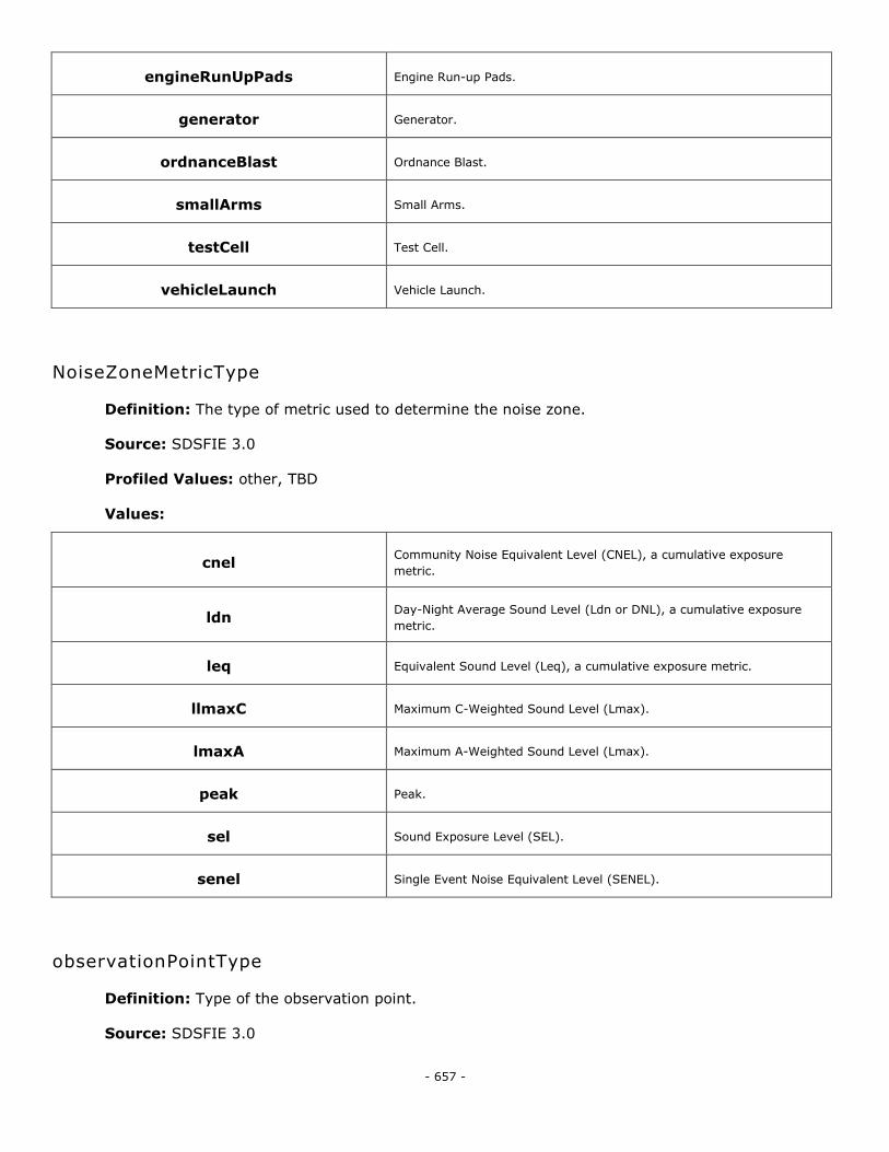
- 657 -
engineRunUpPads Engine Run-up Pads.
generator Generator.
ordnanceBlast Ordnance Blast.
smallArms Small Arms.
testCell Test Cell.
vehicleLaunch Vehicle Launch.
NoiseZoneMetricType
Definition: The type of metric used to determine the noise zone.
Source: SDSFIE 3.0
Profiled Values: other, TBD
Values:
cnel Community Noise Equivalent Level (CNEL), a cumulative exposure
metric.
ldn Day-Night Average Sound Level (Ldn or DNL), a cumulative exposure
metric.
leq Equivalent Sound Level (Leq), a cumulative exposure metric.
llmaxC Maximum C-Weighted Sound Level (Lmax).
lmaxA Maximum A-Weighted Sound Level (Lmax).
peak Peak.
sel Sound Exposure Level (SEL).
senel Single Event Noise Equivalent Level (SENEL).
observationPointType
Definition: Type of the observation point.
Source: SDSFIE 3.0
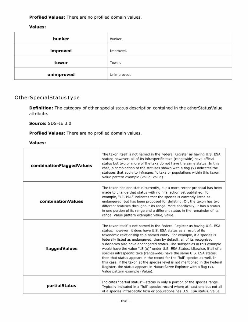
- 658 -
Profiled Values: There are no profiled domain values.
Values:
bunker Bunker.
improved Improved.
tower Tower.
unimproved Unimproved.
OtherSpecialStatusType
Definition: The category of other special status description contained in the otherStatusValue
attribute.
Source: SDSFIE 3.0
Profiled Values: There are no profiled domain values.
Values:
combinationFlaggedValues
The taxon itself is not named in the Federal Register as having U.S. ESA
status; however, all of its infraspecific taxa (rangewide) have official
status but two or more of the taxa do not have the same status. In this
case, a combination of the statuses shown with a flag (x) indicates the
statuses that apply to infraspecific taxa or populations within this taxon.
Value pattern example (value, value).
combinationValues
The taxon has one status currently, but a more recent proposal has been
made to change that status with no final action yet published. For
example, "LE, PDL" indicates that the species is currently listed as
endangered, but has been proposed for delisting. Or, the taxon has two
different statuses throughout its range. More specifically, it has a status
in one portion of its range and a different status in the remainder of its
range. Value pattern example: value, value.
flaggedValues
The taxon itself is not named in the Federal Register as having U.S. ESA
status; however, it does have U.S. ESA status as a result of its
taxonomic relationship to a named entity. For example, if a species is
federally listed as endangered, then by default, all of its recognized
subspecies also have endangered status. The subspecies in this example
would have the value "LE (x)" under U.S. ESA Status. Likewise, if all of a
species infraspecific taxa (rangewide) have the same U.S. ESA status,
then that status appears in the record for the "full" species as well. In
this case, if the taxon at the species level is not mentioned in the Federal
Register, the status appears in NatureServe Explorer with a flag (x).
Value pattern example (Value).
partialStatus Indicates "partial status"—status in only a portion of the species range.
Typically indicated in a "full" species record where at least one but not all
of a species infraspecific taxa or populations has U.S. ESA status. Value
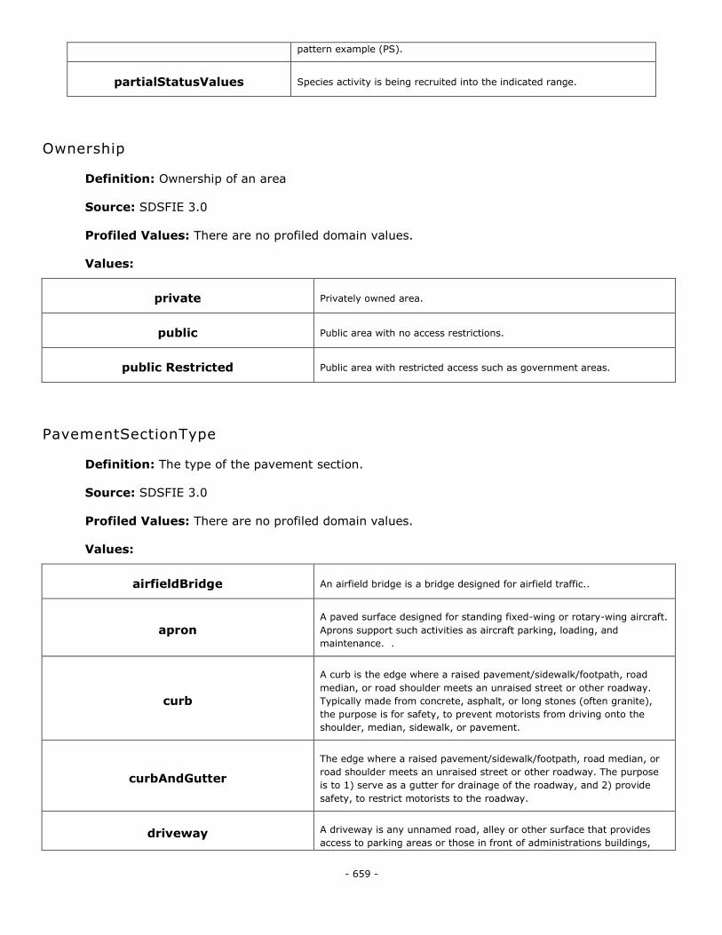
- 659 -
pattern example (PS).
partialStatusValues Species activity is being recruited into the indicated range.
Ownership
Definition: Ownership of an area
Source: SDSFIE 3.0
Profiled Values: There are no profiled domain values.
Values:
private Privately owned area.
public Public area with no access restrictions.
public Restricted Public area with restricted access such as government areas.
PavementSectionType
Definition: The type of the pavement section.
Source: SDSFIE 3.0
Profiled Values: There are no profiled domain values.
Values:
airfieldBridge An airfield bridge is a bridge designed for airfield traffic..
apron A paved surface designed for standing fixed-wing or rotary-wing aircraft.
Aprons support such activities as aircraft parking, loading, and
maintenance. .
curb
A curb is the edge where a raised pavement/sidewalk/footpath, road
median, or road shoulder meets an unraised street or other roadway.
Typically made from concrete, asphalt, or long stones (often granite),
the purpose is for safety, to prevent motorists from driving onto the
shoulder, median, sidewalk, or pavement.
curbAndGutter
The edge where a raised pavement/sidewalk/footpath, road median, or
road shoulder meets an unraised street or other roadway. The purpose
is to 1) serve as a gutter for drainage of the roadway, and 2) provide
safety, to restrict motorists to the roadway.
driveway A driveway is any unnamed road, alley or other surface that provides
access to parking areas or those in front of administrations buildings,
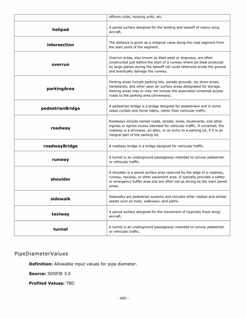
- 660 -
officers clubs, housing units, etc.
helipad A paved surface designed for the landing and takeoff of rotary-wing
aircraft.
intersection The distance is given as a milepost value along the road segment from
the start point of the segment.
overrun
Overrun areas, also known as blast pads or stopways, are often
constructed just before the start of a runway where jet blast produced
by large planes during the takeoff roll could otherwise erode the ground
and eventually damage the runway.
parkingArea
Parking areas include parking lots, parade grounds, lay down areas,
hardstands, and other open air surface areas designated for storage.
Parking areas may or may not include the associated unnamed access
roads to the parking area (driveways).
pedestrianBridge A pedestrian bridge is a bridge designed for pedestrians and in some
cases cyclists and horse riders, rather than vehicular traffic.
roadway
Roadways include named roads, streets, lanes, boulevards, and other
ingress or egress routes intended for vehicular traffic. If unnamed, the
roadway is a driveway, an alley, or an entry to a parking lot, if it is an
integral part of the parking lot.
roadwayBridge A roadway bridge is a bridge designed for vehicular traffic.
runway A tunnel is an underground passageway intended to convey pedestrian
or vehicular traffic.
shoulder
A shoulder is a paved surface area reserved by the edge of a roadway,
runway, taxiway, or other pavement area. It typically provides a safety
or emergency buffer area and are often not as strong as the main paved
areas.
sidewalk Sidewalks are pedestrian systems and includes other related and similar
assets such as trails, walkways, and paths.
taxiway A paved surface designed for the movement of (typically fixed-wing)
aircraft.
tunnel A tunnel is an underground passageway intended to convey pedestrian
or vehicular traffic.
PipeDiameterValues
Definition: Allowable input values for pipe diameter.
Source: SDSFIE 3.0
Profiled Values: TBD
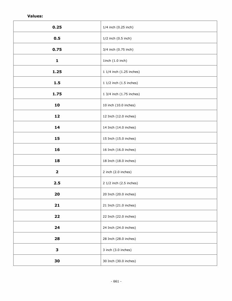
- 661 -
Values:
0.25 1/4 inch (0.25 inch)
0.5 1/2 inch (0.5 inch)
0.75 3/4 inch (0.75 inch)
1 1inch (1.0 inch)
1.25 1 1/4 inch (1.25 inches)
1.5 1 1/2 inch (1.5 inches)
1.75 1 3/4 inch (1.75 inches)
10 10 inch (10.0 inches)
12 12 Inch (12.0 inches)
14 14 Inch (14.0 inches)
15 15 Inch (15.0 inches)
16 16 Inch (16.0 inches)
18 18 Inch (18.0 inches)
2 2 inch (2.0 inches)
2.5 2 1/2 inch (2.5 inches)
20 20 Inch (20.0 inches)
21 21 Inch (21.0 inches)
22 22 Inch (22.0 inches)
24 24 Inch (24.0 inches)
28 28 Inch (28.0 inches)
3 3 inch (3.0 inches)
30 30 Inch (30.0 inches)
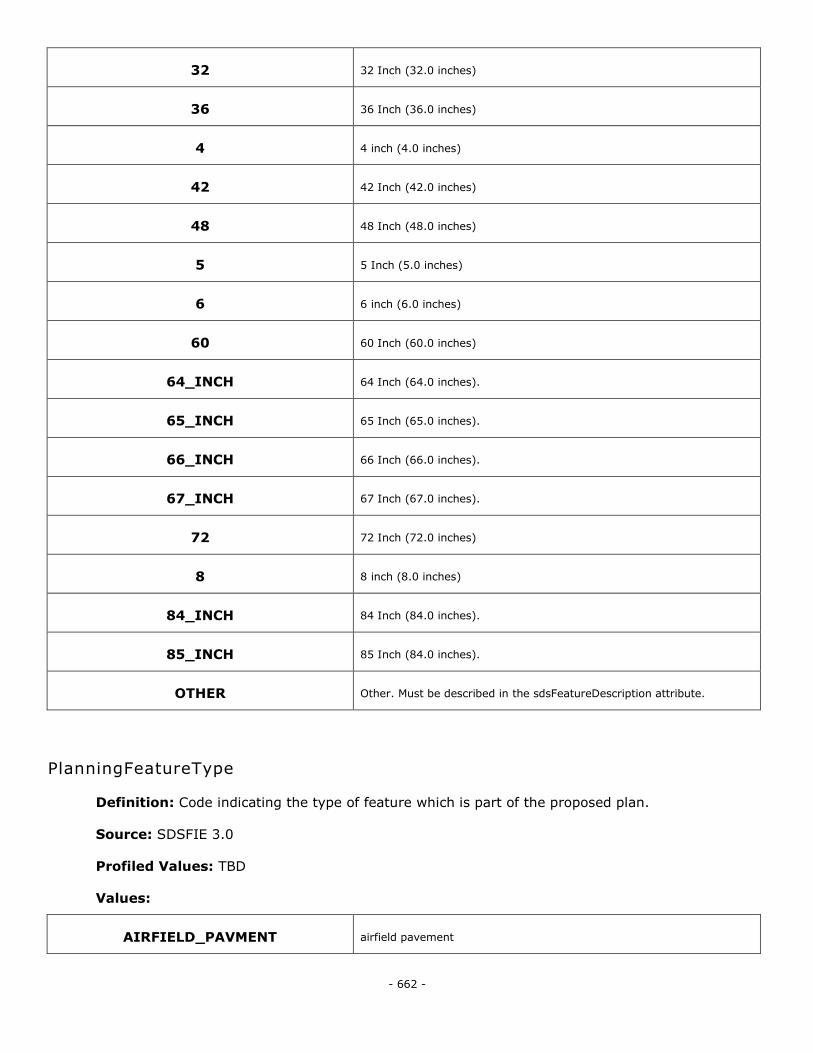
- 662 -
32 32 Inch (32.0 inches)
36 36 Inch (36.0 inches)
4 4 inch (4.0 inches)
42 42 Inch (42.0 inches)
48 48 Inch (48.0 inches)
5 5 Inch (5.0 inches)
6 6 inch (6.0 inches)
60 60 Inch (60.0 inches)
64_INCH 64 Inch (64.0 inches).
65_INCH 65 Inch (65.0 inches).
66_INCH 66 Inch (66.0 inches).
67_INCH 67 Inch (67.0 inches).
72 72 Inch (72.0 inches)
8 8 inch (8.0 inches)
84_INCH 84 Inch (84.0 inches).
85_INCH 85 Inch (84.0 inches).
OTHER Other. Must be described in the sdsFeatureDescription attribute.
PlanningFeatureType
Definition: Code indicating the type of feature which is part of the proposed plan.
Source: SDSFIE 3.0
Profiled Values: TBD
Values:
AIRFIELD_PAVMENT airfield pavement
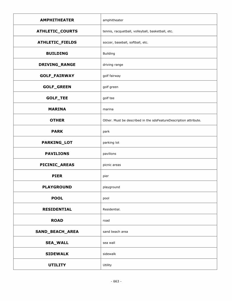
- 663 -
AMPHITHEATER amphitheater
ATHLETIC_COURTS tennis, racquetball, volleyball, basketball, etc.
ATHLETIC_FIELDS soccer, baseball, softball, etc.
BUILDING Building
DRIVING_RANGE driving range
GOLF_FAIRWAY golf fairway
GOLF_GREEN golf green
GOLF_TEE golf tee
MARINA marina
OTHER Other. Must be described in the sdsFeatureDescription attribute.
PARK park
PARKING_LOT parking lot
PAVILIONS pavilions
PICINIC_AREAS picnic areas
PIER pier
PLAYGROUND playground
POOL pool
RESIDENTIAL Residential.
ROAD road
SAND_BEACH_AREA sand beach area
SEA_WALL sea wall
SIDEWALK sidewalk
UTILITY Utility
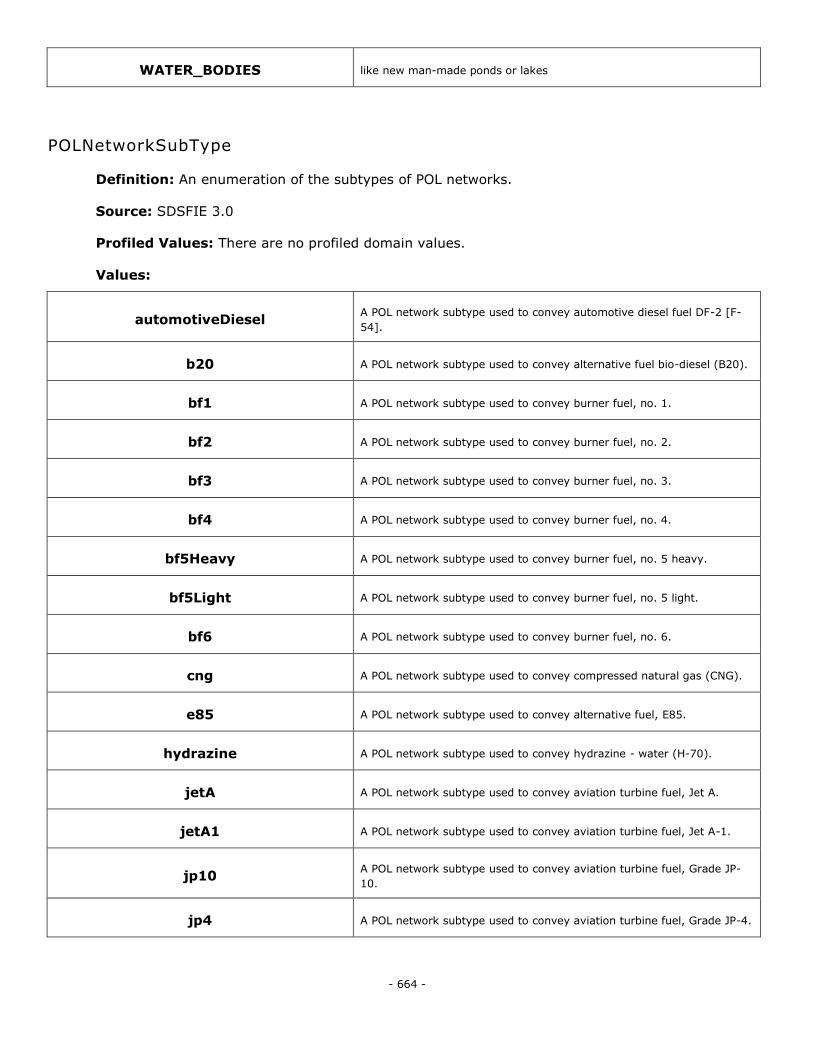
- 664 -
WATER_BODIES like new man-made ponds or lakes
POLNetworkSubType
Definition: An enumeration of the subtypes of POL networks.
Source: SDSFIE 3.0
Profiled Values: There are no profiled domain values.
Values:
automotiveDiesel A POL network subtype used to convey automotive diesel fuel DF-2 [F-
54].
b20 A POL network subtype used to convey alternative fuel bio-diesel (B20).
bf1 A POL network subtype used to convey burner fuel, no. 1.
bf2 A POL network subtype used to convey burner fuel, no. 2.
bf3 A POL network subtype used to convey burner fuel, no. 3.
bf4 A POL network subtype used to convey burner fuel, no. 4.
bf5Heavy A POL network subtype used to convey burner fuel, no. 5 heavy.
bf5Light A POL network subtype used to convey burner fuel, no. 5 light.
bf6 A POL network subtype used to convey burner fuel, no. 6.
cng A POL network subtype used to convey compressed natural gas (CNG).
e85 A POL network subtype used to convey alternative fuel, E85.
hydrazine A POL network subtype used to convey hydrazine - water (H-70).
jetA A POL network subtype used to convey aviation turbine fuel, Jet A.
jetA1 A POL network subtype used to convey aviation turbine fuel, Jet A-1.
jp10 A POL network subtype used to convey aviation turbine fuel, Grade JP-
10.
jp4 A POL network subtype used to convey aviation turbine fuel, Grade JP-4.
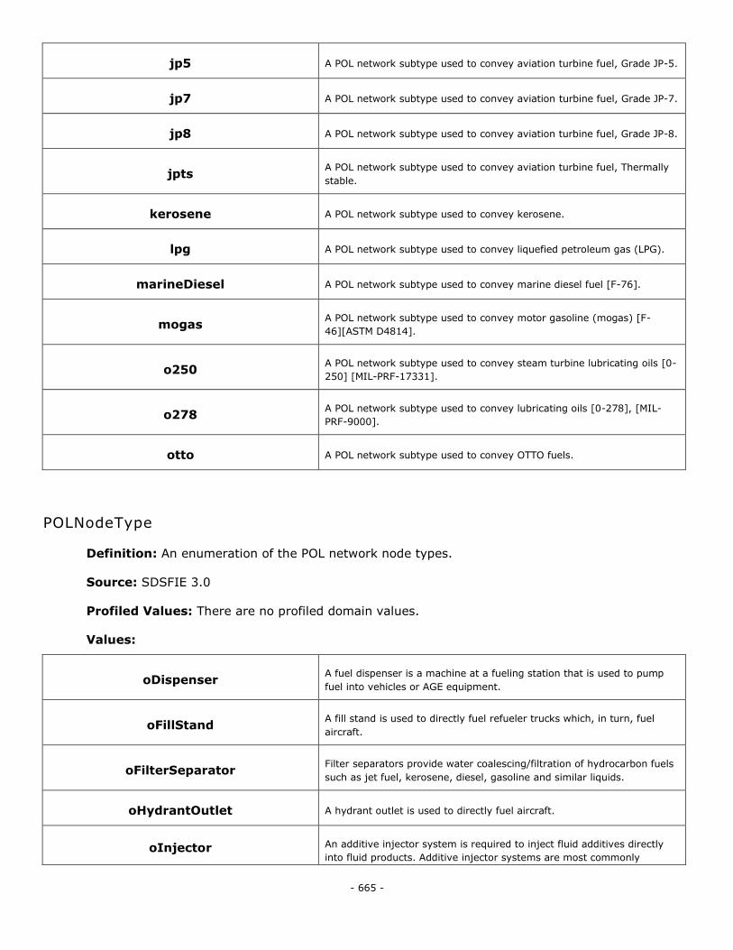
- 665 -
jp5 A POL network subtype used to convey aviation turbine fuel, Grade JP-5.
jp7 A POL network subtype used to convey aviation turbine fuel, Grade JP-7.
jp8 A POL network subtype used to convey aviation turbine fuel, Grade JP-8.
jpts A POL network subtype used to convey aviation turbine fuel, Thermally
stable.
kerosene A POL network subtype used to convey kerosene.
lpg A POL network subtype used to convey liquefied petroleum gas (LPG).
marineDiesel A POL network subtype used to convey marine diesel fuel [F-76].
mogas A POL network subtype used to convey motor gasoline (mogas) [F-
46][ASTM D4814].
o250 A POL network subtype used to convey steam turbine lubricating oils [0-
250] [MIL-PRF-17331].
o278 A POL network subtype used to convey lubricating oils [0-278], [MIL-
PRF-9000].
otto A POL network subtype used to convey OTTO fuels.
POLNodeType
Definition: An enumeration of the POL network node types.
Source: SDSFIE 3.0
Profiled Values: There are no profiled domain values.
Values:
oDispenser A fuel dispenser is a machine at a fueling station that is used to pump
fuel into vehicles or AGE equipment.
oFillStand A fill stand is used to directly fuel refueler trucks which, in turn, fuel
aircraft.
oFilterSeparator Filter separators provide water coalescing/filtration of hydrocarbon fuels
such as jet fuel, kerosene, diesel, gasoline and similar liquids.
oHydrantOutlet A hydrant outlet is used to directly fuel aircraft.
oInjector An additive injector system is required to inject fluid additives directly
into fluid products. Additive injector systems are most commonly
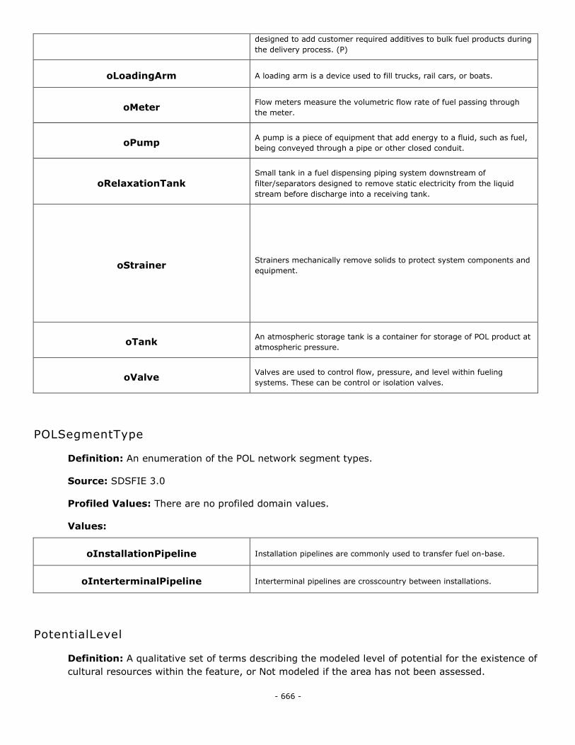
- 666 -
designed to add customer required additives to bulk fuel products during
the delivery process. (P)
oLoadingArm A loading arm is a device used to fill trucks, rail cars, or boats.
oMeter Flow meters measure the volumetric flow rate of fuel passing through
the meter.
oPump A pump is a piece of equipment that add energy to a fluid, such as fuel,
being conveyed through a pipe or other closed conduit.
oRelaxationTank Small tank in a fuel dispensing piping system downstream of
filter/separators designed to remove static electricity from the liquid
stream before discharge into a receiving tank.
oStrainer Strainers mechanically remove solids to protect system components and
equipment.
oTank An atmospheric storage tank is a container for storage of POL product at
atmospheric pressure.
oValve Valves are used to control flow, pressure, and level within fueling
systems. These can be control or isolation valves.
POLSegmentType
Definition: An enumeration of the POL network segment types.
Source: SDSFIE 3.0
Profiled Values: There are no profiled domain values.
Values:
oInstallationPipeline Installation pipelines are commonly used to transfer fuel on-base.
oInterterminalPipeline Interterminal pipelines are crosscountry between installations.
PotentialLevel
Definition: A qualitative set of terms describing the modeled level of potential for the existence of
cultural resources within the feature, or Not modeled if the area has not been assessed.
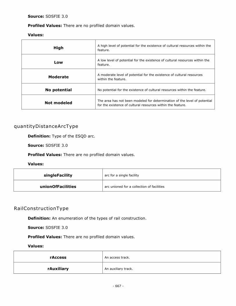
- 667 -
Source: SDSFIE 3.0
Profiled Values: There are no profiled domain values.
Values:
High A high level of potential for the existence of cultural resources within the
feature.
Low A low level of potential for the existence of cultural resources within the
feature.
Moderate A moderate level of potential for the existence of cultural resources
within the feature.
No potential No potential for the existence of cultural resources within the feature.
Not modeled The area has not been modeled for determination of the level of potential
for the existence of cultural resources within the feature.
quantityDistanceArcType
Definition: Type of the ESQD arc.
Source: SDSFIE 3.0
Profiled Values: There are no profiled domain values.
Values:
singleFacility arc for a single facility
unionOfFacilities arc unioned for a collection of facilities
RailConstructionType
Definition: An enumeration of the types of rail construction.
Source: SDSFIE 3.0
Profiled Values: There are no profiled domain values.
Values:
rAccess An access track.
rAuxiliary An auxiliary track.
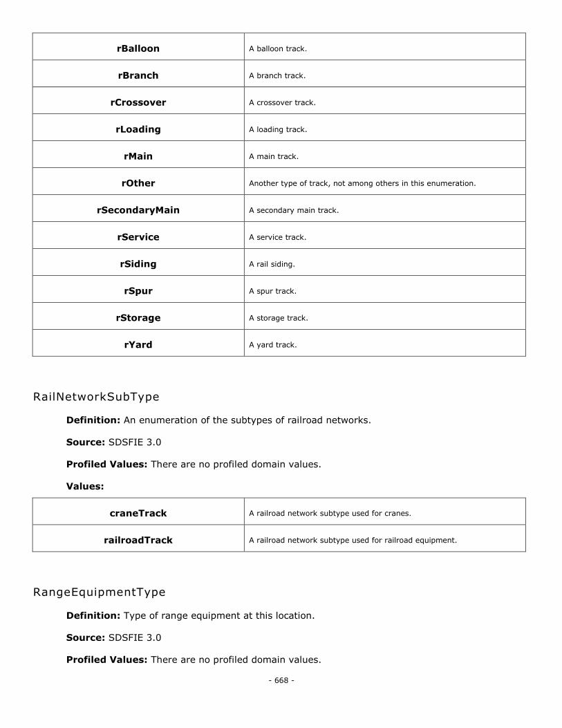
- 668 -
rBalloon A balloon track.
rBranch A branch track.
rCrossover A crossover track.
rLoading A loading track.
rMain A main track.
rOther Another type of track, not among others in this enumeration.
rSecondaryMain A secondary main track.
rService A service track.
rSiding A rail siding.
rSpur A spur track.
rStorage A storage track.
rYard A yard track.
RailNetworkSubType
Definition: An enumeration of the subtypes of railroad networks.
Source: SDSFIE 3.0
Profiled Values: There are no profiled domain values.
Values:
craneTrack A railroad network subtype used for cranes.
railroadTrack A railroad network subtype used for railroad equipment.
RangeEquipmentType
Definition: Type of range equipment at this location.
Source: SDSFIE 3.0
Profiled Values: There are no profiled domain values.
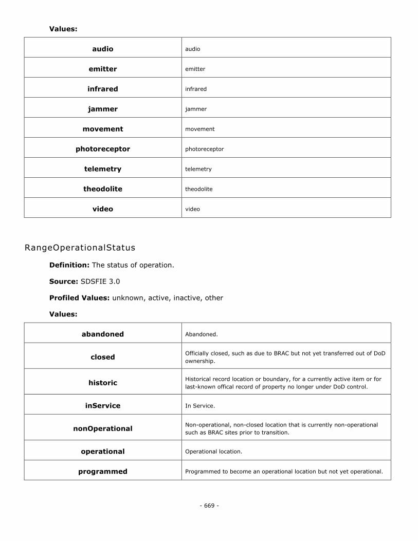
- 669 -
Values:
audio audio
emitter emitter
infrared infrared
jammer jammer
movement movement
photoreceptor photoreceptor
telemetry telemetry
theodolite theodolite
video video
RangeOperationalStatus
Definition: The status of operation.
Source: SDSFIE 3.0
Profiled Values: unknown, active, inactive, other
Values:
abandoned Abandoned.
closed Officially closed, such as due to BRAC but not yet transferred out of DoD
ownership.
historic Historical record location or boundary, for a currently active item or for
last-known offical record of property no longer under DoD control.
inService In Service.
nonOperational Non-operational, non-closed location that is currently non-operational
such as BRAC sites prior to transition.
operational Operational location.
programmed Programmed to become an operational location but not yet operational.
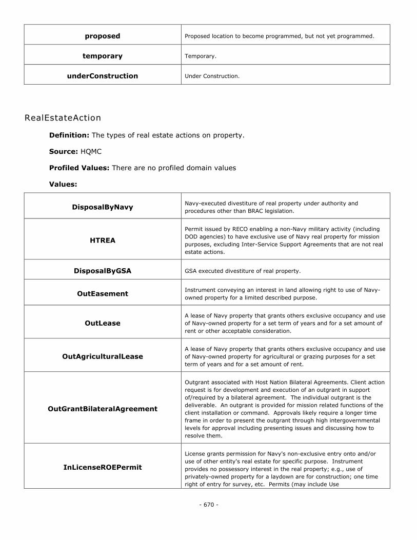
- 670 -
proposed Proposed location to become programmed, but not yet programmed.
temporary Temporary.
underConstruction Under Construction.
RealEstateAction
Definition: The types of real estate actions on property.
Source: HQMC
Profiled Values: There are no profiled domain values
Values:
DisposalByNavy Navy-executed divestiture of real property under authority and
procedures other than BRAC legislation.
HTREA
Permit issued by RECO enabling a non-Navy military activity (including
DOD agencies) to have exclusive use of Navy real property for mission
purposes, excluding Inter-Service Support Agreements that are not real
estate actions.
DisposalByGSA GSA executed divestiture of real property.
OutEasement Instrument conveying an interest in land allowing right to use of Navy-
owned property for a limited described purpose.
OutLease A lease of Navy property that grants others exclusive occupancy and use
of Navy-owned property for a set term of years and for a set amount of
rent or other acceptable consideration.
OutAgriculturalLease A lease of Navy property that grants others exclusive occupancy and use
of Navy-owned property for agricultural or grazing purposes for a set
term of years and for a set amount of rent.
OutGrantBilateralAgreement
Outgrant associated with Host Nation Bilateral Agreements. Client action
request is for development and execution of an outgrant in support
of/required by a bilateral agreement. The individual outgrant is the
deliverable. An outgrant is provided for mission related functions of the
client installation or command. Approvals likely require a longer time
frame in order to present the outgrant through high intergovernmental
levels for approval including presenting issues and discussing how to
resolve them.
InLicenseROEPermit
License grants permission for Navy's non-exclusive entry onto and/or
use of other entity's real estate for specific purpose. Instrument
provides no possessory interest in the real property; e.g., use of
privately-owned property for a laydown are for construction; one time
right of entry for survey, etc. Permits (may include Use
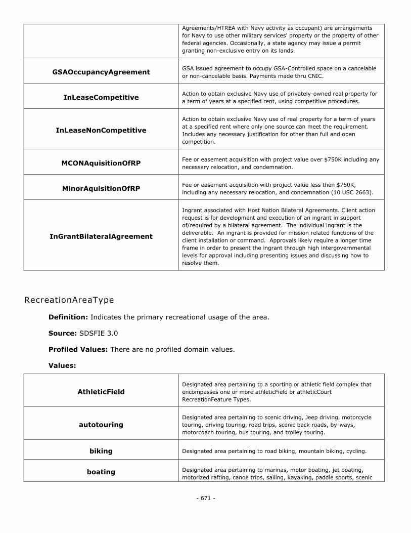
- 671 -
Agreements/HTREA with Navy activity as occupant) are arrangements
for Navy to use other military services' property or the property of other
federal agencies. Occasionally, a state agency may issue a permit
granting non-exclusive entry on its lands.
GSAOccupancyAgreement GSA issued agreement to occupy GSA-Controlled space on a cancelable
or non-cancelable basis. Payments made thru CNIC.
InLeaseCompetitive Action to obtain exclusive Navy use of privately-owned real property for
a term of years at a specified rent, using competitive procedures.
InLeaseNonCompetitive
Action to obtain exclusive Navy use of real property for a term of years
at a specified rent where only one source can meet the requirement.
Includes any necessary justification for other than full and open
competition.
MCONAquisitionOfRP Fee or easement acquisition with project value over $750K including any
necessary relocation, and condemnation.
MinorAquisitionOfRP Fee or easement acquisition with project value less then $750K,
including any necessary relocation, and condemnation (10 USC 2663).
InGrantBilateralAgreement
Ingrant associated with Host Nation Bilateral Agreements. Client action
request is for development and execution of an ingrant in support
of/required by a bilateral agreement. The individual ingrant is the
deliverable. An ingrant is provided for mission related functions of the
client installation or command. Approvals likely require a longer time
frame in order to present the ingrant through high intergovernmental
levels for approval including presenting issues and discussing how to
resolve them.
RecreationAreaType
Definition: Indicates the primary recreational usage of the area.
Source: SDSFIE 3.0
Profiled Values: There are no profiled domain values.
Values:
AthleticField Designated area pertaining to a sporting or athletic field complex that
encompasses one or more athleticField or athleticCourt
RecreationFeature Types.
autotouring Designated area pertaining to scenic driving, Jeep driving, motorcycle
touring, driving touring, road trips, scenic back roads, by-ways,
motorcoach touring, bus touring, and trolley touring.
biking Designated area pertaining to road biking, mountain biking, cycling.
boating Designated area pertaining to marinas, motor boating, jet boating,
motorized rafting, canoe trips, sailing, kayaking, paddle sports, scenic
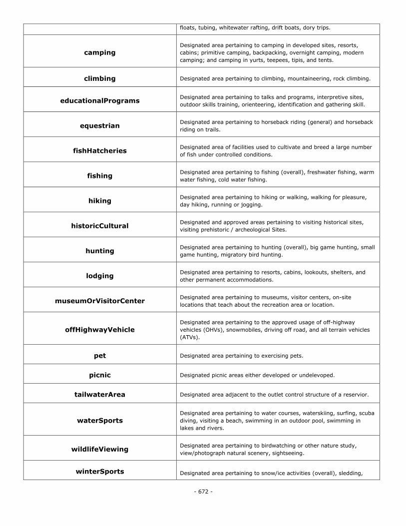
- 672 -
floats, tubing, whitewater rafting, drift boats, dory trips.
camping Designated area pertaining to camping in developed sites, resorts,
cabins; primitive camping, backpacking, overnight camping, modern
camping; and camping in yurts, teepees, tipis, and tents.
climbing Designated area pertaining to climbing, mountaineering, rock climbing.
educationalPrograms Designated area pertaining to talks and programs, interpretive sites,
outdoor skills training, orienteering, identification and gathering skill.
equestrian Designated area pertaining to horseback riding (general) and horseback
riding on trails.
fishHatcheries Designated area of facilities used to cultivate and breed a large number
of fish under controlled conditions.
fishing Designated area pertaining to fishing (overall), freshwater fishing, warm
water fishing, cold water fishing.
hiking Designated area pertaining to hiking or walking, walking for pleasure,
day hiking, running or jogging.
historicCultural Designated and approved areas pertaining to visiting historical sites,
visiting prehistoric / archeological Sites.
hunting Designated area pertaining to hunting (overall), big game hunting, small
game hunting, migratory bird hunting.
lodging Designated area pertaining to resorts, cabins, lookouts, shelters, and
other permanent accommodations.
museumOrVisitorCenter Designated area pertaining to museums, visitor centers, on-site
locations that teach about the recreation area or location.
offHighwayVehicle Designated area pertaining to the approved usage of off-highway
vehicles (OHVs), snowmobiles, driving off road, and all terrain vehicles
(ATVs).
pet Designated area pertaining to exercising pets.
picnic Designated picnic areas either developed or undelevoped.
tailwaterArea Designated area adjacent to the outlet control structure of a reservior.
waterSports Designated area pertaining to water courses, waterskiing, surfing, scuba
diving, visiting a beach, swimming in an outdoor pool, swimming in
lakes and rivers.
wildlifeViewing Designated area pertaining to birdwatching or other nature study,
view/photograph natural scenery, sightseeing.
winterSports Designated area pertaining to snow/ice activities (overall), sledding,
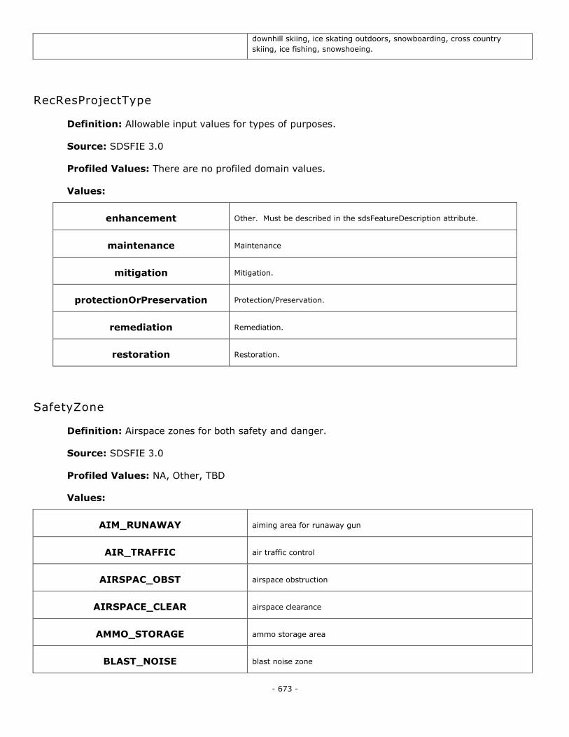
- 673 -
downhill skiing, ice skating outdoors, snowboarding, cross country
skiing, ice fishing, snowshoeing.
RecResProjectType
Definition: Allowable input values for types of purposes.
Source: SDSFIE 3.0
Profiled Values: There are no profiled domain values.
Values:
enhancement Other. Must be described in the sdsFeatureDescription attribute.
maintenance Maintenance
mitigation Mitigation.
protectionOrPreservation Protection/Preservation.
remediation Remediation.
restoration Restoration.
SafetyZone
Definition: Airspace zones for both safety and danger.
Source: SDSFIE 3.0
Profiled Values: NA, Other, TBD
Values:
AIM_RUNAWAY aiming area for runaway gun
AIR_TRAFFIC air traffic control
AIRSPAC_OBST airspace obstruction
AIRSPACE_CLEAR airspace clearance
AMMO_STORAGE ammo storage area
BLAST_NOISE blast noise zone
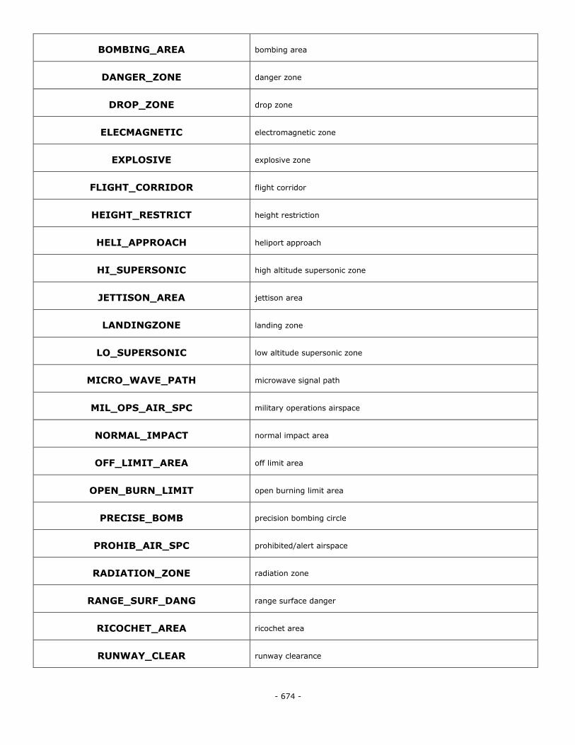
- 674 -
BOMBING_AREA bombing area
DANGER_ZONE danger zone
DROP_ZONE drop zone
ELECMAGNETIC electromagnetic zone
EXPLOSIVE explosive zone
FLIGHT_CORRIDOR flight corridor
HEIGHT_RESTRICT height restriction
HELI_APPROACH heliport approach
HI_SUPERSONIC high altitude supersonic zone
JETTISON_AREA jettison area
LANDINGZONE landing zone
LO_SUPERSONIC low altitude supersonic zone
MICRO_WAVE_PATH microwave signal path
MIL_OPS_AIR_SPC military operations airspace
NORMAL_IMPACT normal impact area
OFF_LIMIT_AREA off limit area
OPEN_BURN_LIMIT open burning limit area
PRECISE_BOMB precision bombing circle
PROHIB_AIR_SPC prohibited/alert airspace
RADIATION_ZONE radiation zone
RANGE_SURF_DANG range surface danger
RICOCHET_AREA ricochet area
RUNWAY_CLEAR runway clearance
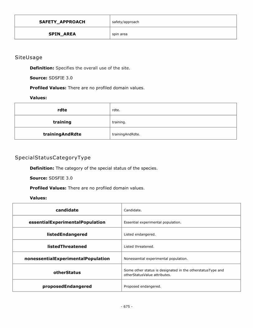
- 675 -
SAFETY_APPROACH safety/approach
SPIN_AREA spin area
SiteUsage
Definition: Specifies the overall use of the site.
Source: SDSFIE 3.0
Profiled Values: There are no profiled domain values.
Values:
rdte rdte.
training training.
trainingAndRdte trainingAndRdte.
SpecialStatusCategoryType
Definition: The category of the special status of the species.
Source: SDSFIE 3.0
Profiled Values: There are no profiled domain values.
Values:
candidate Candidate.
essentialExperimentalPopulation Essential experimental population.
listedEndangered Listed endangered.
listedThreatened Listed threatened.
nonessentialExperimentalPopulation Nonessential experimental population.
otherStatus Some other status is designated in the otherstatusType and
otherStatusValue attributes.
proposedEndangered Proposed endangered.
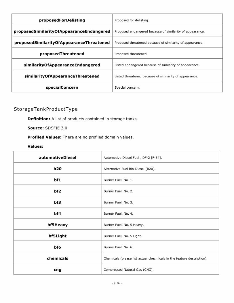
- 676 -
proposedForDelisting Proposed for delisting.
proposedSimilarityOfAppearanceEndangered Proposed endangered because of similarity of appearance.
proposedSimilarityOfAppearanceThreatened Proposed threatened because of similarity of appearance.
proposedThreatened Proposed threatened.
similarityOfAppearanceEndangered Listed endangered because of similarity of appearance.
similarityOfAppearanceThreatened Listed threatened because of similarity of appearance.
specialConcern Special concern.
StorageTankProductType
Definition: A list of products contained in storage tanks.
Source: SDSFIE 3.0
Profiled Values: There are no profiled domain values.
Values:
automotiveDiesel Automotive Diesel Fuel , DF-2 [F-54].
b20 Alternative Fuel Bio-Diesel (B20).
bf1 Burner Fuel, No. 1.
bf2 Burner Fuel, No. 2.
bf3 Burner Fuel, No. 3.
bf4 Burner Fuel, No. 4.
bf5Heavy Burner Fuel, No. 5 Heavy.
bf5Light Burner Fuel, No. 5 Light.
bf6 Burner Fuel, No. 6.
chemicals Chemicals (please list actual checmicals in the feature description).
cng Compressed Natural Gas (CNG).
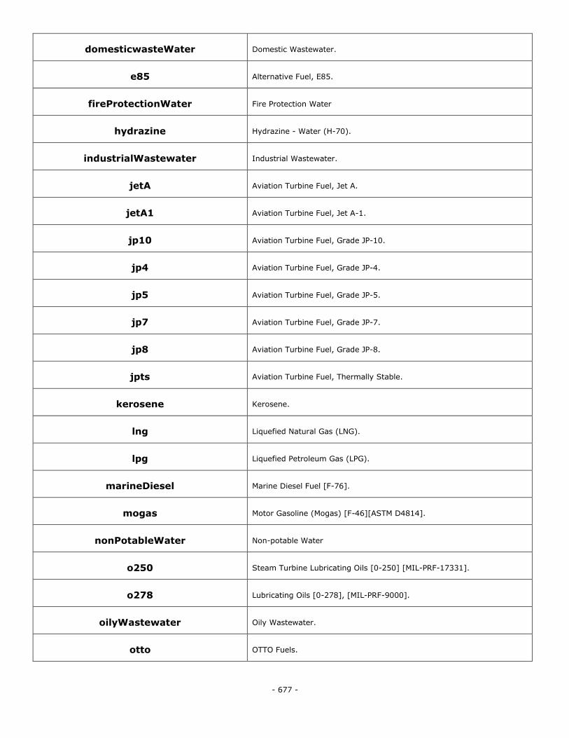
- 677 -
domesticwasteWater Domestic Wastewater.
e85 Alternative Fuel, E85.
fireProtectionWater Fire Protection Water
hydrazine Hydrazine - Water (H-70).
industrialWastewater Industrial Wastewater.
jetA Aviation Turbine Fuel, Jet A.
jetA1 Aviation Turbine Fuel, Jet A-1.
jp10 Aviation Turbine Fuel, Grade JP-10.
jp4 Aviation Turbine Fuel, Grade JP-4.
jp5 Aviation Turbine Fuel, Grade JP-5.
jp7 Aviation Turbine Fuel, Grade JP-7.
jp8 Aviation Turbine Fuel, Grade JP-8.
jpts Aviation Turbine Fuel, Thermally Stable.
kerosene Kerosene.
lng Liquefied Natural Gas (LNG).
lpg Liquefied Petroleum Gas (LPG).
marineDiesel Marine Diesel Fuel [F-76].
mogas Motor Gasoline (Mogas) [F-46][ASTM D4814].
nonPotableWater Non-potable Water
o250 Steam Turbine Lubricating Oils [0-250] [MIL-PRF-17331].
o278 Lubricating Oils [0-278], [MIL-PRF-9000].
oilyWastewater Oily Wastewater.
otto OTTO Fuels.
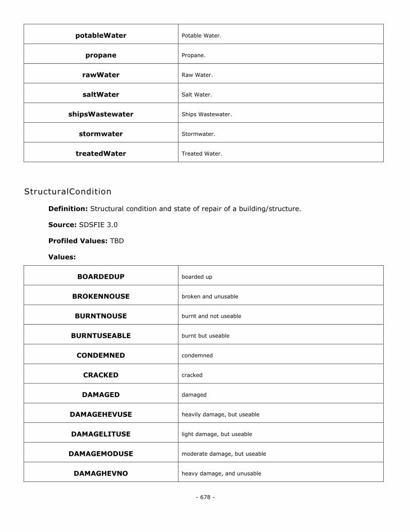
- 678 -
potableWater Potable Water.
propane Propane.
rawWater Raw Water.
saltWater Salt Water.
shipsWastewater Ships Wastewater.
stormwater Stormwater.
treatedWater Treated Water.
StructuralCondition
Definition: Structural condition and state of repair of a building/structure.
Source: SDSFIE 3.0
Profiled Values: TBD
Values:
BOARDEDUP boarded up
BROKENNOUSE broken and unusable
BURNTNOUSE burnt and not useable
BURNTUSEABLE burnt but useable
CONDEMNED condemned
CRACKED cracked
DAMAGED damaged
DAMAGEHEVUSE heavily damage, but useable
DAMAGELITUSE light damage, but useable
DAMAGEMODUSE moderate damage, but useable
DAMAGHEVNO heavy damage, and unusable
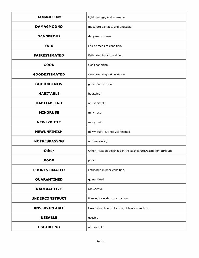
- 679 -
DAMAGLITNO light damage, and unusable
DAMAGMODNO moderate damage, and unusable
DANGEROUS dangerous to use
FAIR Fair or medium condition.
FAIRESTIMATED Estimated in fair condition.
GOOD Good condition.
GOODESTIMATED Estimated in good condition.
GOODNOTNEW good, but not new
HABITABLE habitable
HABITABLENO not habitable
MINORUSE minor use
NEWLYBUILT newly built
NEWUNFINISH newly built, but not yet finished
NOTRESPASSNG no trespassing
Other Other. Must be described in the sdsFeatureDescription attribute.
POOR poor
POORESTIMATED Estimated in poor condition.
QUARANTINED quarantined
RADIOACTIVE radioactive
UNDERCONSTRUCT Planned or under construction.
UNSERVICEABLE Unserviceable or not a weight bearing surface.
USEABLE useable
USEABLENO not useable
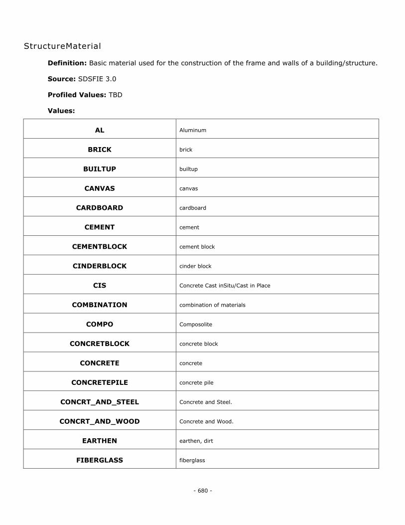
- 680 -
StructureMaterial
Definition: Basic material used for the construction of the frame and walls of a building/structure.
Source: SDSFIE 3.0
Profiled Values: TBD
Values:
AL Aluminum
BRICK brick
BUILTUP builtup
CANVAS canvas
CARDBOARD cardboard
CEMENT cement
CEMENTBLOCK cement block
CINDERBLOCK cinder block
CIS Concrete Cast inSitu/Cast in Place
COMBINATION combination of materials
COMPO Composolite
CONCRETBLOCK concrete block
CONCRETE concrete
CONCRETEPILE concrete pile
CONCRT_AND_STEEL Concrete and Steel.
CONCRT_AND_WOOD Concrete and Wood.
EARTHEN earthen, dirt
FIBERGLASS fiberglass
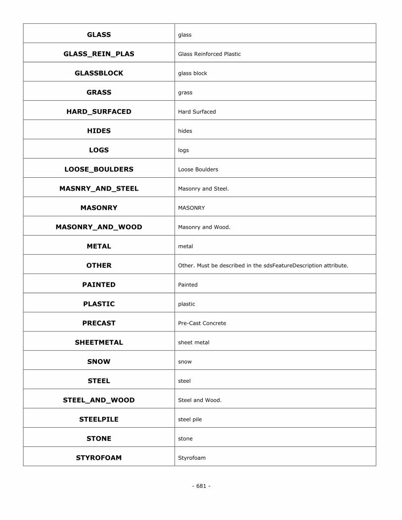
- 681 -
GLASS glass
GLASS_REIN_PLAS Glass Reinforced Plastic
GLASSBLOCK glass block
GRASS grass
HARD_SURFACED Hard Surfaced
HIDES hides
LOGS logs
LOOSE_BOULDERS Loose Boulders
MASNRY_AND_STEEL Masonry and Steel.
MASONRY MASONRY
MASONRY_AND_WOOD Masonry and Wood.
METAL metal
OTHER Other. Must be described in the sdsFeatureDescription attribute.
PAINTED Painted
PLASTIC plastic
PRECAST Pre-Cast Concrete
SHEETMETAL sheet metal
SNOW snow
STEEL steel
STEEL_AND_WOOD Steel and Wood.
STEELPILE steel pile
STONE stone
STYROFOAM Styrofoam
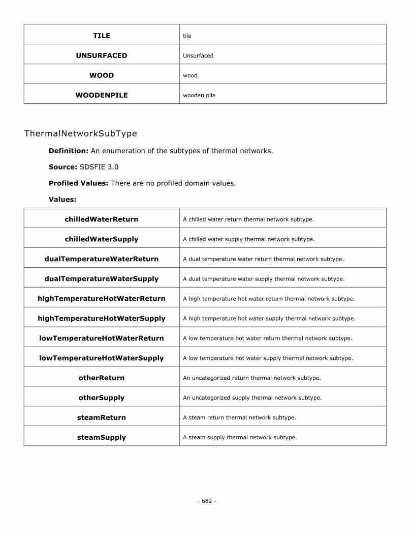
- 682 -
TILE tile
UNSURFACED Unsurfaced
WOOD wood
WOODENPILE wooden pile
ThermalNetworkSubType
Definition: An enumeration of the subtypes of thermal networks.
Source: SDSFIE 3.0
Profiled Values: There are no profiled domain values.
Values:
chilledWaterReturn A chilled water return thermal network subtype.
chilledWaterSupply A chilled water supply thermal network subtype.
dualTemperatureWaterReturn A dual temperature water return thermal network subtype.
dualTemperatureWaterSupply A dual temperature water supply thermal network subtype.
highTemperatureHotWaterReturn A high temperature hot water return thermal network subtype.
highTemperatureHotWaterSupply A high temperature hot water supply thermal network subtype.
lowTemperatureHotWaterReturn A low temperature hot water return thermal network subtype.
lowTemperatureHotWaterSupply A low temperature hot water supply thermal network subtype.
otherReturn An uncategorized return thermal network subtype.
otherSupply An uncategorized supply thermal network subtype.
steamReturn A steam return thermal network subtype.
steamSupply A steam supply thermal network subtype.
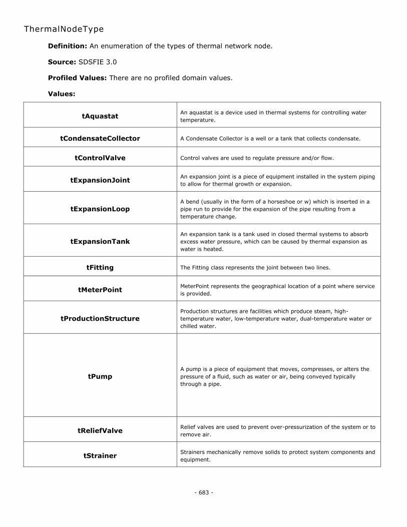
- 683 -
ThermalNodeType
Definition: An enumeration of the types of thermal network node.
Source: SDSFIE 3.0
Profiled Values: There are no profiled domain values.
Values:
tAquastat An aquastat is a device used in thermal systems for controlling water
temperature.
tCondensateCollector A Condensate Collector is a well or a tank that collects condensate.
tControlValve Control valves are used to regulate pressure and/or flow.
tExpansionJoint An expansion joint is a piece of equipment installed in the system piping
to allow for thermal growth or expansion.
tExpansionLoop A bend (usually in the form of a horseshoe or w) which is inserted in a
pipe run to provide for the expansion of the pipe resulting from a
temperature change.
tExpansionTank An expansion tank is a tank used in closed thermal systems to absorb
excess water pressure, which can be caused by thermal expansion as
water is heated.
tFitting The Fitting class represents the joint between two lines.
tMeterPoint MeterPoint represents the geographical location of a point where service
is provided.
tProductionStructure Production structures are facilities which produce steam, high-
temperature water, low-temperature water, dual-temperature water or
chilled water.
tPump A pump is a piece of equipment that moves, compresses, or alters the
pressure of a fluid, such as water or air, being conveyed typically
through a pipe.
tReliefValve Relief valves are used to prevent over-pressurization of the system or to
remove air.
tStrainer Strainers mechanically remove solids to protect system components and
equipment.
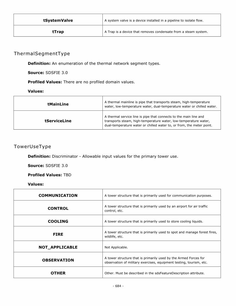
- 684 -
tSystemValve A system valve is a device installed in a pipeline to isolate flow.
tTrap A Trap is a device that removes condensate from a steam system.
ThermalSegmentType
Definition: An enumeration of the thermal network segment types.
Source: SDSFIE 3.0
Profiled Values: There are no profiled domain values.
Values:
tMainLine A thermal mainline is pipe that transports steam, high-temperature
water, low-temperature water, dual-temperature water or chilled water.
tServiceLine A thermal service line is pipe that connects to the main line and
transports steam, high-temperature water, low-temperature water,
dual-temperature water or chilled water to, or from, the meter point.
TowerUseType
Definition: Discriminator - Allowable input values for the primary tower use.
Source: SDSFIE 3.0
Profiled Values: TBD
Values:
COMMUNICATION A tower structure that is primarily used for communication purposes.
CONTROL A tower structure that is primarily used by an airport for air traffic
control, etc.
COOLING A tower structure that is primarily used to store cooling liquids.
FIRE A tower structure that is primarily used to spot and manage forest fires,
wildlife, etc.
NOT_APPLICABLE Not Applicable.
OBSERVATION A tower structure that is primarily used by the Armed Forces for
observation of military exercises, equipment testing, tourism, etc.
OTHER Other. Must be described in the sdsFeatureDescription attribute.
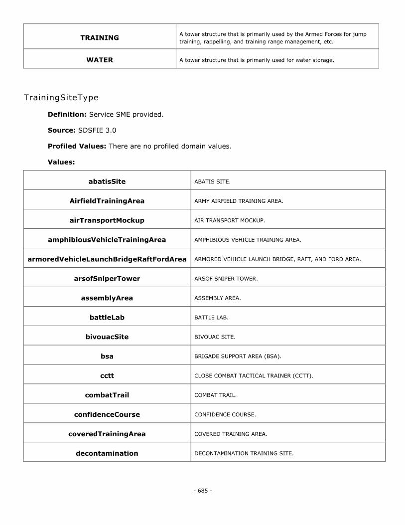
- 685 -
TRAINING A tower structure that is primarily used by the Armed Forces for jump
training, rappelling, and training range management, etc.
WATER A tower structure that is primarily used for water storage.
TrainingSiteType
Definition: Service SME provided.
Source: SDSFIE 3.0
Profiled Values: There are no profiled domain values.
Values:
abatisSite ABATIS SITE.
AirfieldTrainingArea ARMY AIRFIELD TRAINING AREA.
airTransportMockup AIR TRANSPORT MOCKUP.
amphibiousVehicleTrainingArea AMPHIBIOUS VEHICLE TRAINING AREA.
armoredVehicleLaunchBridgeRaftFordArea ARMORED VEHICLE LAUNCH BRIDGE, RAFT, AND FORD AREA.
arsofSniperTower ARSOF SNIPER TOWER.
assemblyArea ASSEMBLY AREA.
battleLab BATTLE LAB.
bivouacSite BIVOUAC SITE.
bsa BRIGADE SUPPORT AREA (BSA).
cctt CLOSE COMBAT TACTICAL TRAINER (CCTT).
combatTrail COMBAT TRAIL.
confidenceCourse CONFIDENCE COURSE.
coveredTrainingArea COVERED TRAINING AREA.
decontamination DECONTAMINATION TRAINING SITE.
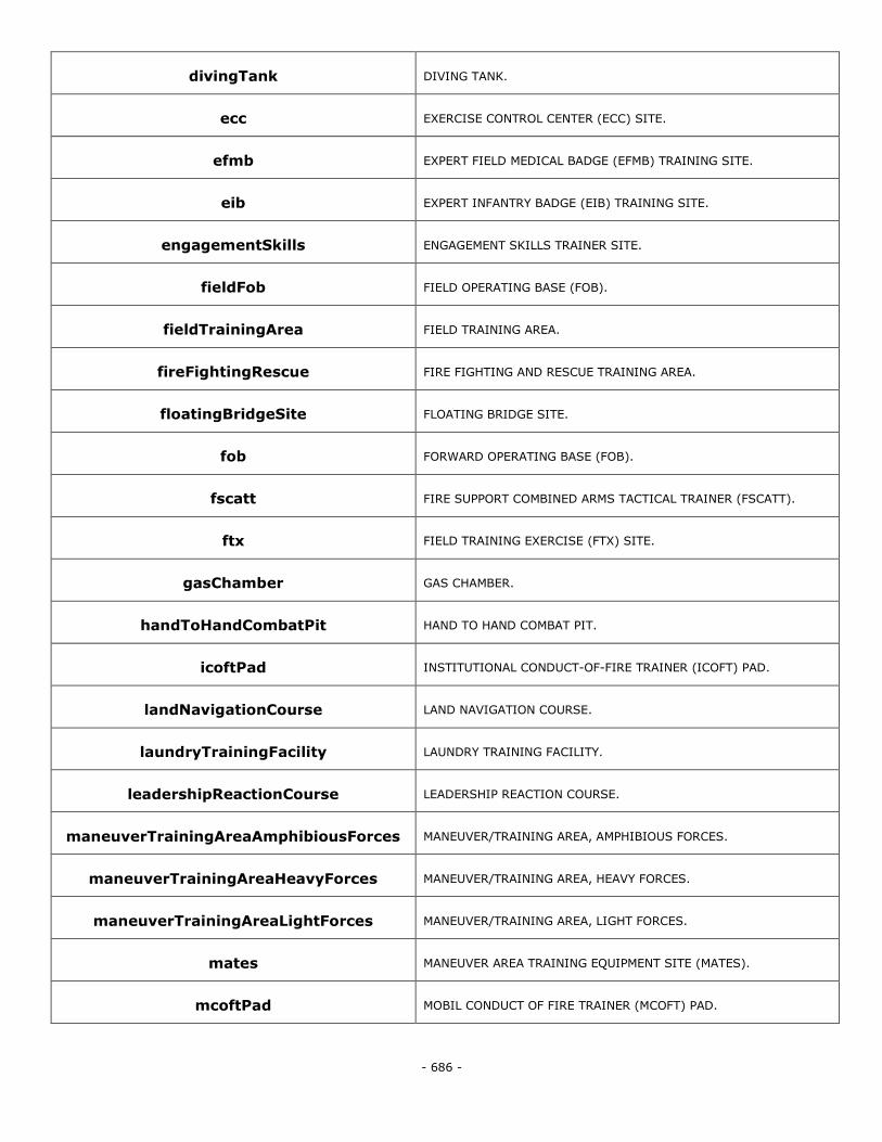
- 686 -
divingTank DIVING TANK.
ecc EXERCISE CONTROL CENTER (ECC) SITE.
efmb EXPERT FIELD MEDICAL BADGE (EFMB) TRAINING SITE.
eib EXPERT INFANTRY BADGE (EIB) TRAINING SITE.
engagementSkills ENGAGEMENT SKILLS TRAINER SITE.
fieldFob FIELD OPERATING BASE (FOB).
fieldTrainingArea FIELD TRAINING AREA.
fireFightingRescue FIRE FIGHTING AND RESCUE TRAINING AREA.
floatingBridgeSite FLOATING BRIDGE SITE.
fob FORWARD OPERATING BASE (FOB).
fscatt FIRE SUPPORT COMBINED ARMS TACTICAL TRAINER (FSCATT).
ftx FIELD TRAINING EXERCISE (FTX) SITE.
gasChamber GAS CHAMBER.
handToHandCombatPit HAND TO HAND COMBAT PIT.
icoftPad INSTITUTIONAL CONDUCT-OF-FIRE TRAINER (ICOFT) PAD.
landNavigationCourse LAND NAVIGATION COURSE.
laundryTrainingFacility LAUNDRY TRAINING FACILITY.
leadershipReactionCourse LEADERSHIP REACTION COURSE.
maneuverTrainingAreaAmphibiousForces MANEUVER/TRAINING AREA, AMPHIBIOUS FORCES.
maneuverTrainingAreaHeavyForces MANEUVER/TRAINING AREA, HEAVY FORCES.
maneuverTrainingAreaLightForces MANEUVER/TRAINING AREA, LIGHT FORCES.
mates MANEUVER AREA TRAINING EQUIPMENT SITE (MATES).
mcoftPad MOBIL CONDUCT OF FIRE TRAINER (MCOFT) PAD.
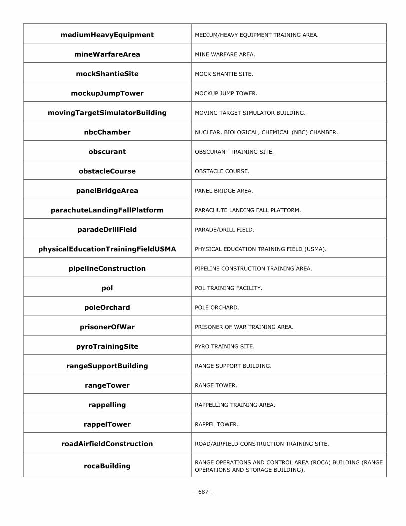
- 687 -
mediumHeavyEquipment MEDIUM/HEAVY EQUIPMENT TRAINING AREA.
mineWarfareArea MINE WARFARE AREA.
mockShantieSite MOCK SHANTIE SITE.
mockupJumpTower MOCKUP JUMP TOWER.
movingTargetSimulatorBuilding MOVING TARGET SIMULATOR BUILDING.
nbcChamber NUCLEAR, BIOLOGICAL, CHEMICAL (NBC) CHAMBER.
obscurant OBSCURANT TRAINING SITE.
obstacleCourse OBSTACLE COURSE.
panelBridgeArea PANEL BRIDGE AREA.
parachuteLandingFallPlatform PARACHUTE LANDING FALL PLATFORM.
paradeDrillField PARADE/DRILL FIELD.
physicalEducationTrainingFieldUSMA PHYSICAL EDUCATION TRAINING FIELD (USMA).
pipelineConstruction PIPELINE CONSTRUCTION TRAINING AREA.
pol POL TRAINING FACILITY.
poleOrchard POLE ORCHARD.
prisonerOfWar PRISONER OF WAR TRAINING AREA.
pyroTrainingSite PYRO TRAINING SITE.
rangeSupportBuilding RANGE SUPPORT BUILDING.
rangeTower RANGE TOWER.
rappelling RAPPELLING TRAINING AREA.
rappelTower RAPPEL TOWER.
roadAirfieldConstruction ROAD/AIRFIELD CONSTRUCTION TRAINING SITE.
rocaBuilding RANGE OPERATIONS AND CONTROL AREA (ROCA) BUILDING (RANGE
OPERATIONS AND STORAGE BUILDING).
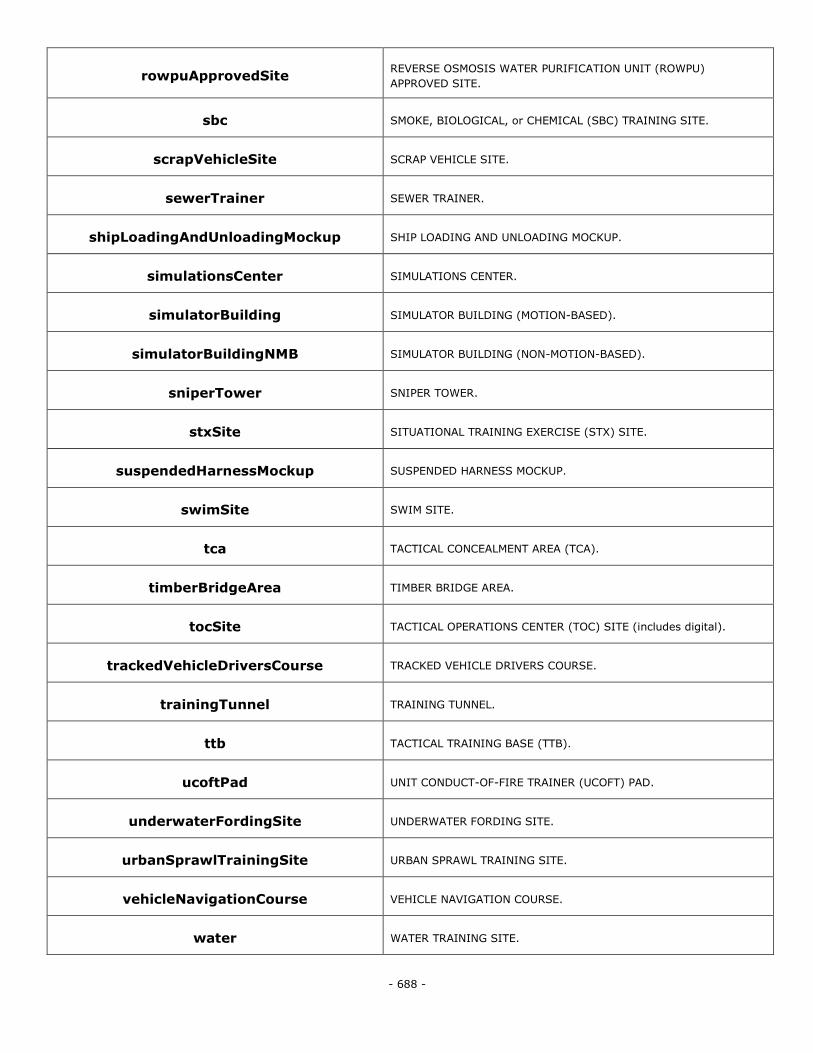
- 688 -
rowpuApprovedSite REVERSE OSMOSIS WATER PURIFICATION UNIT (ROWPU)
APPROVED SITE.
sbc SMOKE, BIOLOGICAL, or CHEMICAL (SBC) TRAINING SITE.
scrapVehicleSite SCRAP VEHICLE SITE.
sewerTrainer SEWER TRAINER.
shipLoadingAndUnloadingMockup SHIP LOADING AND UNLOADING MOCKUP.
simulationsCenter SIMULATIONS CENTER.
simulatorBuilding SIMULATOR BUILDING (MOTION-BASED).
simulatorBuildingNMB SIMULATOR BUILDING (NON-MOTION-BASED).
sniperTower SNIPER TOWER.
stxSite SITUATIONAL TRAINING EXERCISE (STX) SITE.
suspendedHarnessMockup SUSPENDED HARNESS MOCKUP.
swimSite SWIM SITE.
tca TACTICAL CONCEALMENT AREA (TCA).
timberBridgeArea TIMBER BRIDGE AREA.
tocSite TACTICAL OPERATIONS CENTER (TOC) SITE (includes digital).
trackedVehicleDriversCourse TRACKED VEHICLE DRIVERS COURSE.
trainingTunnel TRAINING TUNNEL.
ttb TACTICAL TRAINING BASE (TTB).
ucoftPad UNIT CONDUCT-OF-FIRE TRAINER (UCOFT) PAD.
underwaterFordingSite UNDERWATER FORDING SITE.
urbanSprawlTrainingSite URBAN SPRAWL TRAINING SITE.
vehicleNavigationCourse VEHICLE NAVIGATION COURSE.
water WATER TRAINING SITE.
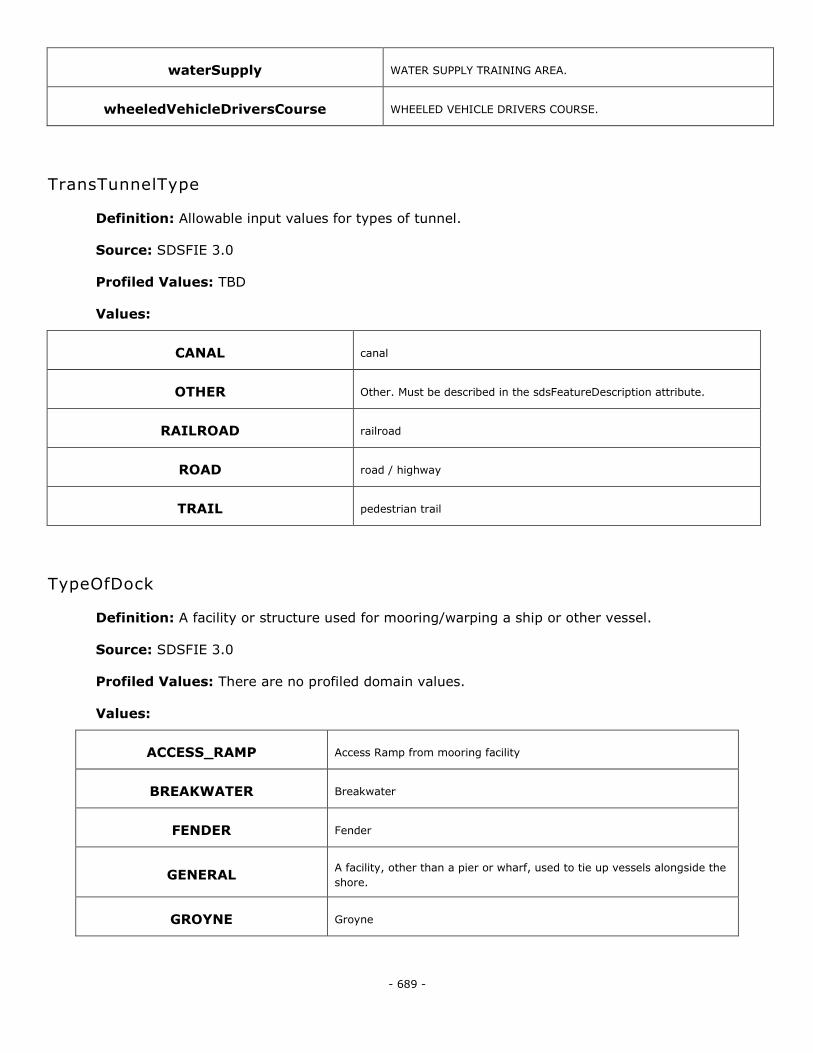
- 689 -
waterSupply WATER SUPPLY TRAINING AREA.
wheeledVehicleDriversCourse WHEELED VEHICLE DRIVERS COURSE.
TransTunnelType
Definition: Allowable input values for types of tunnel.
Source: SDSFIE 3.0
Profiled Values: TBD
Values:
CANAL canal
OTHER Other. Must be described in the sdsFeatureDescription attribute.
RAILROAD railroad
ROAD road / highway
TRAIL pedestrian trail
TypeOfDock
Definition: A facility or structure used for mooring/warping a ship or other vessel.
Source: SDSFIE 3.0
Profiled Values: There are no profiled domain values.
Values:
ACCESS_RAMP Access Ramp from mooring facility
BREAKWATER Breakwater
FENDER Fender
GENERAL A facility, other than a pier or wharf, used to tie up vessels alongside the
shore.
GROYNE Groyne
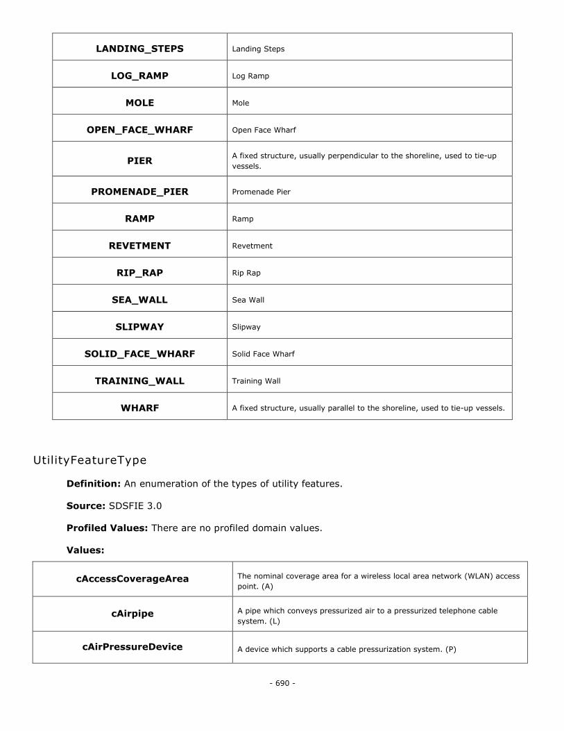
- 690 -
LANDING_STEPS Landing Steps
LOG_RAMP Log Ramp
MOLE Mole
OPEN_FACE_WHARF Open Face Wharf
PIER A fixed structure, usually perpendicular to the shoreline, used to tie-up
vessels.
PROMENADE_PIER Promenade Pier
RAMP Ramp
REVETMENT Revetment
RIP_RAP Rip Rap
SEA_WALL Sea Wall
SLIPWAY Slipway
SOLID_FACE_WHARF Solid Face Wharf
TRAINING_WALL Training Wall
WHARF A fixed structure, usually parallel to the shoreline, used to tie-up vessels.
UtilityFeatureType
Definition: An enumeration of the types of utility features.
Source: SDSFIE 3.0
Profiled Values: There are no profiled domain values.
Values:
cAccessCoverageArea The nominal coverage area for a wireless local area network (WLAN) access
point. (A)
cAirpipe A pipe which conveys pressurized air to a pressurized telephone cable
system. (L)
cAirPressureDevice A device which supports a cable pressurization system. (P)
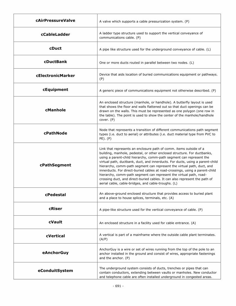
- 691 -
cAirPressureValve A valve which supports a cable pressurization system. (P)
cCableLadder A ladder type structure used to support the vertical conveyance of
communications cable. (P)
cDuct A pipe like structure used for the underground conveyance of cable. (L)
cDuctBank One or more ducts routed in parallel between two nodes. (L)
cElectronicMarker Device that aids location of buried communications equipment or pathways.
(P)
cEquipment A generic piece of communications equipment not otherwise described. (P)
cManhole
An enclosed structure (manhole, or handhole). A butterfly layout is used
that shows the floor and walls flattened out so that duct openings can be
drawn on the walls. This must be represented as one polygon (one row in
the table). The point is used to show the center of the manhole/handhole
cover. (P)
cPathNode Node that represents a transition of different communications path segment
types (i.e. duct to aerial) or attributes (i.e. duct material type from PVC to
PE). (P)
cPathSegment
Link that represents an enclosure path of comm. items outside of a
building, manhole, pedestal, or other enclosed structure. For ductbanks,
using a parent-child hierarchy, comm-path segment can represent the
virtual path, ductbank, duct, and innerducts. For ducts, using a parent-child
hierarchy, comm-path segment can represent the virtual path, duct, and
innerducts. For direct-buried cables at road-crossings, using a parent-child
hierarchy, comm-path segment can represent the virtual path, road-
crossing duct, and direct-buried cables. It can also represent the path of
aerial cable, cable-bridges, and cable-troughs. (L)
cPedestal An above-ground enclosed structure that provides access to buried plant
and a place to house splices, terminals, etc. (A)
cRiser A pipe-like structure used for the vertical conveyance of cable. (P)
cVault An enclosed structure in a facility used for cable entrance. (A)
cVertical A vertical is part of a mainframe where the outside cable plant terminates.
(A/P)
eAnchorGuy AnchorGuy is a wire or set of wires running from the top of the pole to an
anchor installed in the ground and consist of wires, appropriate fastenings
and the anchor. (P)
eConduitSystem The underground system consists of ducts, trenches or pipes that can
contain conductors, extending between vaults or manholes. New conductor
and telephone cable are often installed underground in congested areas.
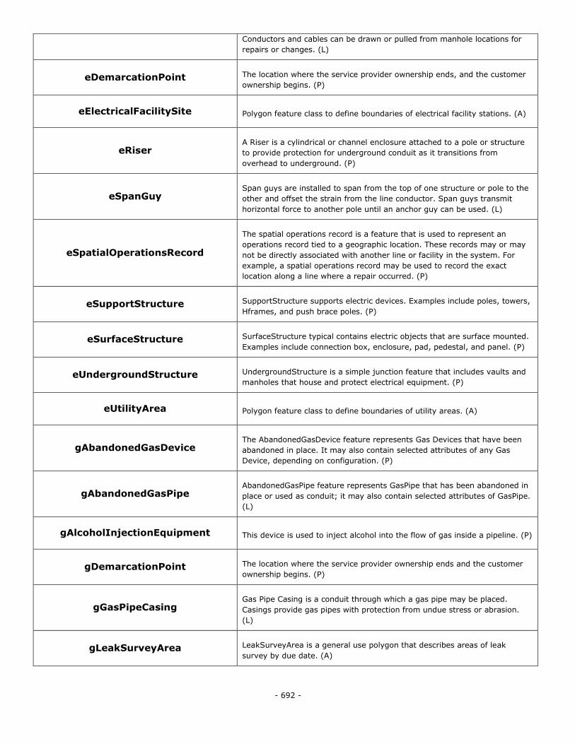
- 692 -
Conductors and cables can be drawn or pulled from manhole locations for
repairs or changes. (L)
eDemarcationPoint The location where the service provider ownership ends, and the customer
ownership begins. (P)
eElectricalFacilitySite Polygon feature class to define boundaries of electrical facility stations. (A)
eRiser A Riser is a cylindrical or channel enclosure attached to a pole or structure
to provide protection for underground conduit as it transitions from
overhead to underground. (P)
eSpanGuy Span guys are installed to span from the top of one structure or pole to the
other and offset the strain from the line conductor. Span guys transmit
horizontal force to another pole until an anchor guy can be used. (L)
eSpatialOperationsRecord
The spatial operations record is a feature that is used to represent an
operations record tied to a geographic location. These records may or may
not be directly associated with another line or facility in the system. For
example, a spatial operations record may be used to record the exact
location along a line where a repair occurred. (P)
eSupportStructure SupportStructure supports electric devices. Examples include poles, towers,
Hframes, and push brace poles. (P)
eSurfaceStructure SurfaceStructure typical contains electric objects that are surface mounted.
Examples include connection box, enclosure, pad, pedestal, and panel. (P)
eUndergroundStructure UndergroundStructure is a simple junction feature that includes vaults and
manholes that house and protect electrical equipment. (P)
eUtilityArea Polygon feature class to define boundaries of utility areas. (A)
gAbandonedGasDevice The AbandonedGasDevice feature represents Gas Devices that have been
abandoned in place. It may also contain selected attributes of any Gas
Device, depending on configuration. (P)
gAbandonedGasPipe AbandonedGasPipe feature represents GasPipe that has been abandoned in
place or used as conduit; it may also contain selected attributes of GasPipe.
(L)
gAlcoholInjectionEquipment This device is used to inject alcohol into the flow of gas inside a pipeline. (P)
gDemarcationPoint The location where the service provider ownership ends and the customer
ownership begins. (P)
gGasPipeCasing Gas Pipe Casing is a conduit through which a gas pipe may be placed.
Casings provide gas pipes with protection from undue stress or abrasion.
(L)
gLeakSurveyArea LeakSurveyArea is a general use polygon that describes areas of leak
survey by due date. (A)
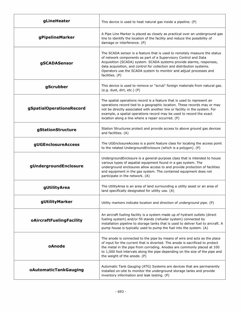
- 693 -
gLineHeater This device is used to heat natural gas inside a pipeline. (P)
gPipelineMarker A Pipe Line Marker is placed as closely as practical over an underground gas
line to identify the location of the facility and reduce the possibility of
damage or interference. (P)
gSCADASensor
The SCADA sensor is a feature that is used to remotely measure the status
of network components as part of a Supervisory Control and Data
Acquisition (SCADA) system. SCADA systems provide alarms, responses,
data acquisition, and control for collection and distribution systems.
Operators use the SCADA system to monitor and adjust processes and
facilities. (P)
gScrubber This device is used to remove or "scrub" foreign materials from natural gas.
(e.g. dust, dirt, etc.) (P)
gSpatialOperationsRecord
The spatial operations record is a feature that is used to represent an
operations record tied to a geographic location. These records may or may
not be directly associated with another line or facility in the system. For
example, a spatial operations record may be used to record the exact
location along a line where a repair occurred. (P)
gStationStructure Station Structures protect and provide access to above ground gas devices
and facilities. (A)
gUGEnclosureAccess The UGEnclosureAccess is a point feature class for locating the access point
to the related UndergroundEnclosure (which is a polygon). (P)
gUndergroundEnclosure
UndergroundEnclosure is a general-purpose class that is intended to house
various types of aspatial equipment found in a gas system. The
underground enclosures allow access to and provide protection of facilities
and equipment in the gas system. The contained equipment does not
participate in the network. (A)
gUtilityArea The UtilityArea is an area of land surrounding a utility asset or an area of
land specifically designated for utility use. (A)
gUtilityMarker Utility markers indicate location and direction of underground pipe. (P)
oAircraftFuelingFacility
An aircraft fueling facility is a system made up of hydrant outlets (direct
fueling system) and/or fill stands (refueler system) connected by
installation pipeline to storage tanks that is used to deliver fuel to aircraft. A
pump house is typically used to pump the fuel into the system. (A)
oAnode
The anode is connected to the pipe by means of wire and acts as the place
of input for the current that is diverted. The anode is sacrificed to protect
the metal in the pipe from corroding. Anodes are commonly placed at 100
to 1,000 foot intervals along the pipe depending on the size of the pipe and
the weight of the anode. (P)
oAutomaticTankGauging Automatic Tank Gauging (ATG) Systems are devices that are permanently
installed on-site to monitor the underground storage tanks and provide
inventory information and leak testing. (P)
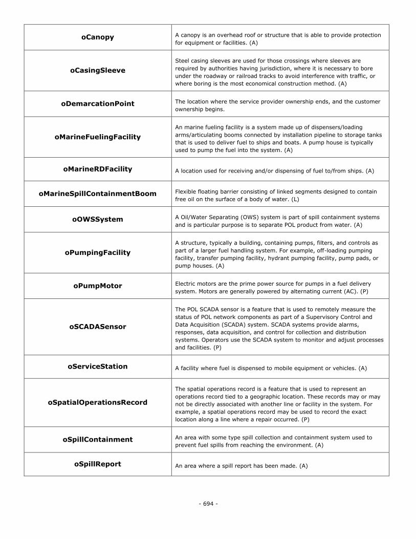
- 694 -
oCanopy A canopy is an overhead roof or structure that is able to provide protection
for equipment or facilities. (A)
oCasingSleeve
Steel casing sleeves are used for those crossings where sleeves are
required by authorities having jurisdiction, where it is necessary to bore
under the roadway or railroad tracks to avoid interference with traffic, or
where boring is the most economical construction method. (A)
oDemarcationPoint The location where the service provider ownership ends, and the customer
ownership begins.
oMarineFuelingFacility
An marine fueling facility is a system made up of dispensers/loading
arms/articulating booms connected by installation pipeline to storage tanks
that is used to deliver fuel to ships and boats. A pump house is typically
used to pump the fuel into the system. (A)
oMarineRDFacility A location used for receiving and/or dispensing of fuel to/from ships. (A)
oMarineSpillContainmentBoom Flexible floating barrier consisting of linked segments designed to contain
free oil on the surface of a body of water. (L)
oOWSSystem A Oil/Water Separating (OWS) system is part of spill containment systems
and is particular purpose is to separate POL product from water. (A)
oPumpingFacility
A structure, typically a building, containing pumps, filters, and controls as
part of a larger fuel handling system. For example, off-loading pumping
facility, transfer pumping facility, hydrant pumping facility, pump pads, or
pump houses. (A)
oPumpMotor Electric motors are the prime power source for pumps in a fuel delivery
system. Motors are generally powered by alternating current (AC). (P)
oSCADASensor
The POL SCADA sensor is a feature that is used to remotely measure the
status of POL network components as part of a Supervisory Control and
Data Acquisition (SCADA) system. SCADA systems provide alarms,
responses, data acquisition, and control for collection and distribution
systems. Operators use the SCADA system to monitor and adjust processes
and facilities. (P)
oServiceStation A facility where fuel is dispensed to mobile equipment or vehicles. (A)
oSpatialOperationsRecord
The spatial operations record is a feature that is used to represent an
operations record tied to a geographic location. These records may or may
not be directly associated with another line or facility in the system. For
example, a spatial operations record may be used to record the exact
location along a line where a repair occurred. (P)
oSpillContainment An area with some type spill collection and containment system used to
prevent fuel spills from reaching the environment. (A)
oSpillReport An area where a spill report has been made. (A)
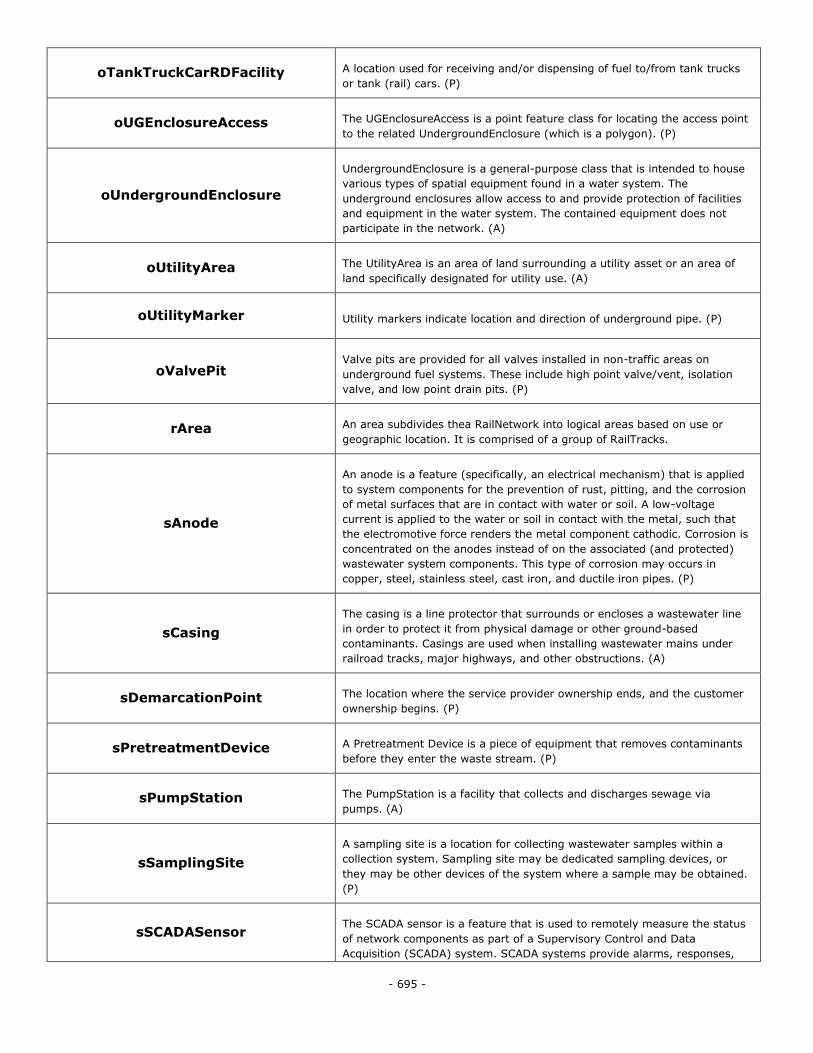
- 695 -
oTankTruckCarRDFacility A location used for receiving and/or dispensing of fuel to/from tank trucks
or tank (rail) cars. (P)
oUGEnclosureAccess The UGEnclosureAccess is a point feature class for locating the access point
to the related UndergroundEnclosure (which is a polygon). (P)
oUndergroundEnclosure
UndergroundEnclosure is a general-purpose class that is intended to house
various types of spatial equipment found in a water system. The
underground enclosures allow access to and provide protection of facilities
and equipment in the water system. The contained equipment does not
participate in the network. (A)
oUtilityArea The UtilityArea is an area of land surrounding a utility asset or an area of
land specifically designated for utility use. (A)
oUtilityMarker Utility markers indicate location and direction of underground pipe. (P)
oValvePit Valve pits are provided for all valves installed in non-traffic areas on
underground fuel systems. These include high point valve/vent, isolation
valve, and low point drain pits. (P)
rArea An area subdivides thea RailNetwork into logical areas based on use or
geographic location. It is comprised of a group of RailTracks.
sAnode
An anode is a feature (specifically, an electrical mechanism) that is applied
to system components for the prevention of rust, pitting, and the corrosion
of metal surfaces that are in contact with water or soil. A low-voltage
current is applied to the water or soil in contact with the metal, such that
the electromotive force renders the metal component cathodic. Corrosion is
concentrated on the anodes instead of on the associated (and protected)
wastewater system components. This type of corrosion may occurs in
copper, steel, stainless steel, cast iron, and ductile iron pipes. (P)
sCasing
The casing is a line protector that surrounds or encloses a wastewater line
in order to protect it from physical damage or other ground-based
contaminants. Casings are used when installing wastewater mains under
railroad tracks, major highways, and other obstructions. (A)
sDemarcationPoint The location where the service provider ownership ends, and the customer
ownership begins. (P)
sPretreatmentDevice A Pretreatment Device is a piece of equipment that removes contaminants
before they enter the waste stream. (P)
sPumpStation The PumpStation is a facility that collects and discharges sewage via
pumps. (A)
sSamplingSite
A sampling site is a location for collecting wastewater samples within a
collection system. Sampling site may be dedicated sampling devices, or
they may be other devices of the system where a sample may be obtained.
(P)
sSCADASensor The SCADA sensor is a feature that is used to remotely measure the status
of network components as part of a Supervisory Control and Data
Acquisition (SCADA) system. SCADA systems provide alarms, responses,
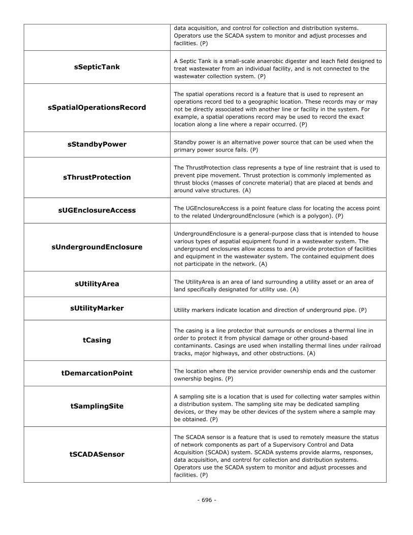
- 696 -
data acquisition, and control for collection and distribution systems.
Operators use the SCADA system to monitor and adjust processes and
facilities. (P)
sSepticTank A Septic Tank is a small-scale anaerobic digester and leach field designed to
treat wastewater from an individual facility, and is not connected to the
wastewater collection system. (P)
sSpatialOperationsRecord
The spatial operations record is a feature that is used to represent an
operations record tied to a geographic location. These records may or may
not be directly associated with another line or facility in the system. For
example, a spatial operations record may be used to record the exact
location along a line where a repair occurred. (P)
sStandbyPower Standby power is an alternative power source that can be used when the
primary power source fails. (P)
sThrustProtection
The ThrustProtection class represents a type of line restraint that is used to
prevent pipe movement. Thrust protection is commonly implemented as
thrust blocks (masses of concrete material) that are placed at bends and
around valve structures. (A)
sUGEnclosureAccess The UGEnclosureAccess is a point feature class for locating the access point
to the related UndergroundEnclosure (which is a polygon). (P)
sUndergroundEnclosure
UndergroundEnclosure is a general-purpose class that is intended to house
various types of aspatial equipment found in a wastewater system. The
underground enclosures allow access to and provide protection of facilities
and equipment in the wastewater system. The contained equipment does
not participate in the network. (A)
sUtilityArea The UtilityArea is an area of land surrounding a utility asset or an area of
land specifically designated for utility use. (A)
sUtilityMarker Utility markers indicate location and direction of underground pipe. (P)
tCasing
The casing is a line protector that surrounds or encloses a thermal line in
order to protect it from physical damage or other ground-based
contaminants. Casings are used when installing thermal lines under railroad
tracks, major highways, and other obstructions. (A)
tDemarcationPoint The location where the service provider ownership ends and the customer
ownership begins. (P)
tSamplingSite
A sampling site is a location that is used for collecting water samples within
a distribution system. The sampling site may be dedicated sampling
devices, or they may be other devices of the system where a sample may
be obtained. (P)
tSCADASensor
The SCADA sensor is a feature that is used to remotely measure the status
of network components as part of a Supervisory Control and Data
Acquisition (SCADA) system. SCADA systems provide alarms, responses,
data acquisition, and control for collection and distribution systems.
Operators use the SCADA system to monitor and adjust processes and
facilities. (P)
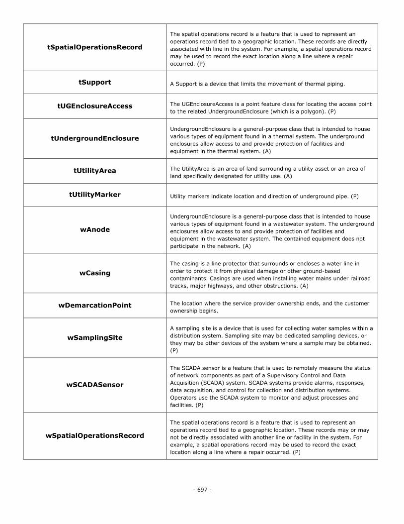
- 697 -
tSpatialOperationsRecord
The spatial operations record is a feature that is used to represent an
operations record tied to a geographic location. These records are directly
associated with line in the system. For example, a spatial operations record
may be used to record the exact location along a line where a repair
occurred. (P)
tSupport A Support is a device that limits the movement of thermal piping.
tUGEnclosureAccess The UGEnclosureAccess is a point feature class for locating the access point
to the related UndergroundEnclosure (which is a polygon). (P)
tUndergroundEnclosure
UndergroundEnclosure is a general-purpose class that is intended to house
various types of equipment found in a thermal system. The underground
enclosures allow access to and provide protection of facilities and
equipment in the thermal system. (A)
tUtilityArea The UtilityArea is an area of land surrounding a utility asset or an area of
land specifically designated for utility use. (A)
tUtilityMarker Utility markers indicate location and direction of underground pipe. (P)
wAnode
UndergroundEnclosure is a general-purpose class that is intended to house
various types of equipment found in a wastewater system. The underground
enclosures allow access to and provide protection of facilities and
equipment in the wastewater system. The contained equipment does not
participate in the network. (A)
wCasing
The casing is a line protector that surrounds or encloses a water line in
order to protect it from physical damage or other ground-based
contaminants. Casings are used when installing water mains under railroad
tracks, major highways, and other obstructions. (A)
wDemarcationPoint The location where the service provider ownership ends, and the customer
ownership begins.
wSamplingSite
A sampling site is a device that is used for collecting water samples within a
distribution system. Sampling site may be dedicated sampling devices, or
they may be other devices of the system where a sample may be obtained.
(P)
wSCADASensor
The SCADA sensor is a feature that is used to remotely measure the status
of network components as part of a Supervisory Control and Data
Acquisition (SCADA) system. SCADA systems provide alarms, responses,
data acquisition, and control for collection and distribution systems.
Operators use the SCADA system to monitor and adjust processes and
facilities. (P)
wSpatialOperationsRecord
The spatial operations record is a feature that is used to represent an
operations record tied to a geographic location. These records may or may
not be directly associated with another line or facility in the system. For
example, a spatial operations record may be used to record the exact
location along a line where a repair occurred. (P)
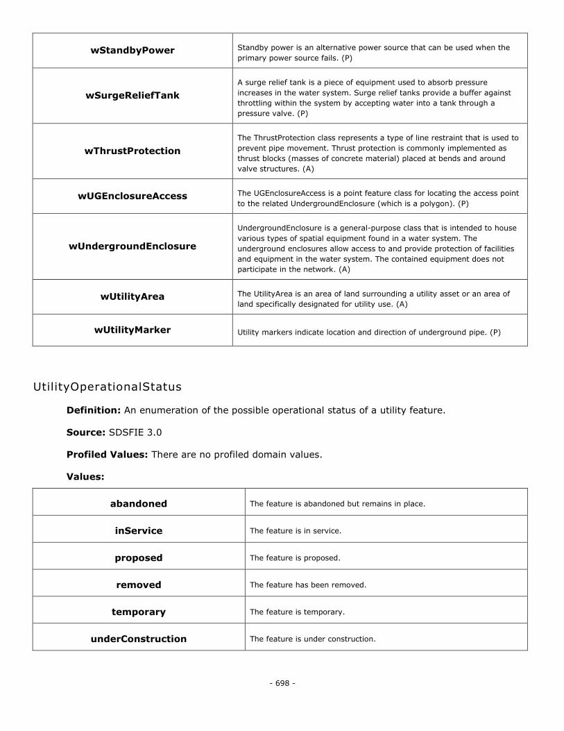
- 698 -
wStandbyPower Standby power is an alternative power source that can be used when the
primary power source fails. (P)
wSurgeReliefTank
A surge relief tank is a piece of equipment used to absorb pressure
increases in the water system. Surge relief tanks provide a buffer against
throttling within the system by accepting water into a tank through a
pressure valve. (P)
wThrustProtection
The ThrustProtection class represents a type of line restraint that is used to
prevent pipe movement. Thrust protection is commonly implemented as
thrust blocks (masses of concrete material) placed at bends and around
valve structures. (A)
wUGEnclosureAccess The UGEnclosureAccess is a point feature class for locating the access point
to the related UndergroundEnclosure (which is a polygon). (P)
wUndergroundEnclosure
UndergroundEnclosure is a general-purpose class that is intended to house
various types of spatial equipment found in a water system. The
underground enclosures allow access to and provide protection of facilities
and equipment in the water system. The contained equipment does not
participate in the network. (A)
wUtilityArea The UtilityArea is an area of land surrounding a utility asset or an area of
land specifically designated for utility use. (A)
wUtilityMarker Utility markers indicate location and direction of underground pipe. (P)
UtilityOperationalStatus
Definition: An enumeration of the possible operational status of a utility feature.
Source: SDSFIE 3.0
Profiled Values: There are no profiled domain values.
Values:
abandoned The feature is abandoned but remains in place.
inService The feature is in service.
proposed The feature is proposed.
removed The feature has been removed.
temporary The feature is temporary.
underConstruction The feature is under construction.
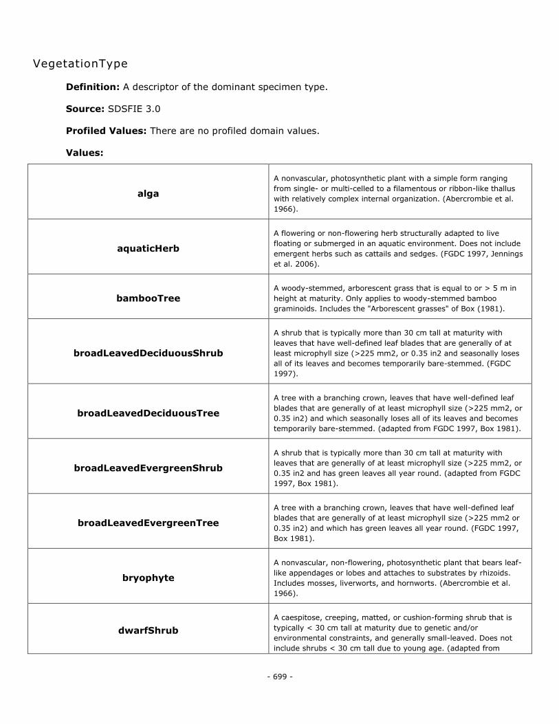
- 699 -
VegetationType
Definition: A descriptor of the dominant specimen type.
Source: SDSFIE 3.0
Profiled Values: There are no profiled domain values.
Values:
alga
A nonvascular, photosynthetic plant with a simple form ranging
from single- or multi-celled to a filamentous or ribbon-like thallus
with relatively complex internal organization. (Abercrombie et al.
1966).
aquaticHerb
A flowering or non-flowering herb structurally adapted to live
floating or submerged in an aquatic environment. Does not include
emergent herbs such as cattails and sedges. (FGDC 1997, Jennings
et al. 2006).
bambooTree A woody-stemmed, arborescent grass that is equal to or > 5 m in
height at maturity. Only applies to woody-stemmed bamboo
graminoids. Includes the "Arborescent grasses" of Box (1981).
broadLeavedDeciduousShrub
A shrub that is typically more than 30 cm tall at maturity with
leaves that have well-defined leaf blades that are generally of at
least microphyll size (>225 mm2, or 0.35 in2 and seasonally loses
all of its leaves and becomes temporarily bare-stemmed. (FGDC
1997).
broadLeavedDeciduousTree
A tree with a branching crown, leaves that have well-defined leaf
blades that are generally of at least microphyll size (>225 mm2, or
0.35 in2) and which seasonally loses all of its leaves and becomes
temporarily bare-stemmed. (adapted from FGDC 1997, Box 1981).
broadLeavedEvergreenShrub
A shrub that is typically more than 30 cm tall at maturity with
leaves that are generally of at least microphyll size (>225 mm2, or
0.35 in2 and has green leaves all year round. (adapted from FGDC
1997, Box 1981).
broadLeavedEvergreenTree
A tree with a branching crown, leaves that have well-defined leaf
blades that are generally of at least microphyll size (>225 mm2 or
0.35 in2) and which has green leaves all year round. (FGDC 1997,
Box 1981).
bryophyte
A nonvascular, non-flowering, photosynthetic plant that bears leaf-
like appendages or lobes and attaches to substrates by rhizoids.
Includes mosses, liverworts, and hornworts. (Abercrombie et al.
1966).
dwarfShrub
A caespitose, creeping, matted, or cushion-forming shrub that is
typically < 30 cm tall at maturity due to genetic and/or
environmental constraints, and generally small-leaved. Does not
include shrubs < 30 cm tall due to young age. (adapted from
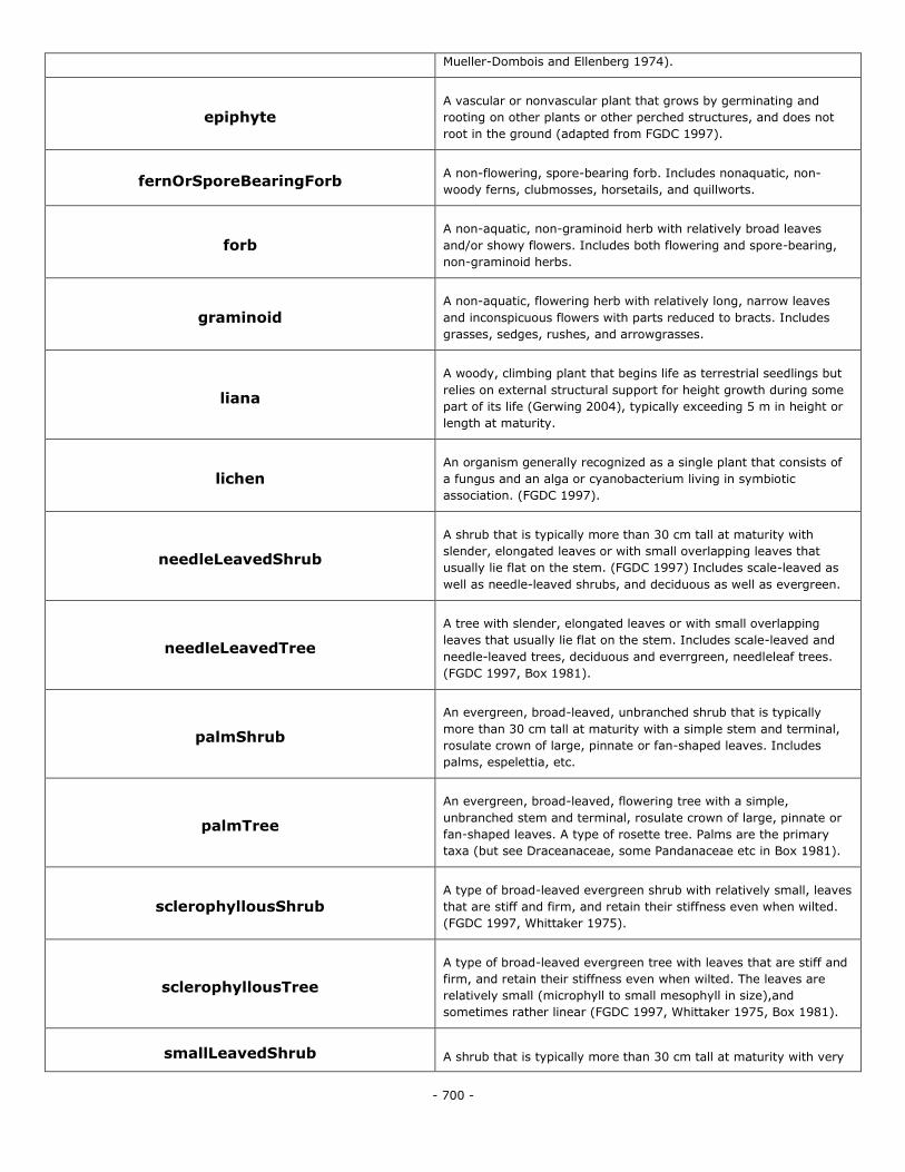
- 700 -
Mueller-Dombois and Ellenberg 1974).
epiphyte A vascular or nonvascular plant that grows by germinating and
rooting on other plants or other perched structures, and does not
root in the ground (adapted from FGDC 1997).
fernOrSporeBearingForb A non-flowering, spore-bearing forb. Includes nonaquatic, non-
woody ferns, clubmosses, horsetails, and quillworts.
forb A non-aquatic, non-graminoid herb with relatively broad leaves
and/or showy flowers. Includes both flowering and spore-bearing,
non-graminoid herbs.
graminoid A non-aquatic, flowering herb with relatively long, narrow leaves
and inconspicuous flowers with parts reduced to bracts. Includes
grasses, sedges, rushes, and arrowgrasses.
liana
A woody, climbing plant that begins life as terrestrial seedlings but
relies on external structural support for height growth during some
part of its life (Gerwing 2004), typically exceeding 5 m in height or
length at maturity.
lichen An organism generally recognized as a single plant that consists of
a fungus and an alga or cyanobacterium living in symbiotic
association. (FGDC 1997).
needleLeavedShrub
A shrub that is typically more than 30 cm tall at maturity with
slender, elongated leaves or with small overlapping leaves that
usually lie flat on the stem. (FGDC 1997) Includes scale-leaved as
well as needle-leaved shrubs, and deciduous as well as evergreen.
needleLeavedTree
A tree with slender, elongated leaves or with small overlapping
leaves that usually lie flat on the stem. Includes scale-leaved and
needle-leaved trees, deciduous and everrgreen, needleleaf trees.
(FGDC 1997, Box 1981).
palmShrub
An evergreen, broad-leaved, unbranched shrub that is typically
more than 30 cm tall at maturity with a simple stem and terminal,
rosulate crown of large, pinnate or fan-shaped leaves. Includes
palms, espelettia, etc.
palmTree
An evergreen, broad-leaved, flowering tree with a simple,
unbranched stem and terminal, rosulate crown of large, pinnate or
fan-shaped leaves. A type of rosette tree. Palms are the primary
taxa (but see Draceanaceae, some Pandanaceae etc in Box 1981).
sclerophyllousShrub A type of broad-leaved evergreen shrub with relatively small, leaves
that are stiff and firm, and retain their stiffness even when wilted.
(FGDC 1997, Whittaker 1975).
sclerophyllousTree
A type of broad-leaved evergreen tree with leaves that are stiff and
firm, and retain their stiffness even when wilted. The leaves are
relatively small (microphyll to small mesophyll in size),and
sometimes rather linear (FGDC 1997, Whittaker 1975, Box 1981).
smallLeavedShrub A shrub that is typically more than 30 cm tall at maturity with very
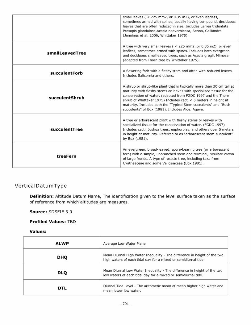
- 701 -
small leaves ( < 225 mm2, or 0.35 in2), or even leafless,
sometimes armed with spines, usually having compound, deciduous
leaves that are often reduced in size. Includes Larrea tridentata,
Prosopis glandulosa,Acacia neovernicosa, Senna, Calliandra
(Jennings et al. 2006, Whittaker 1975).
smallLeavedTree
A tree with very small leaves ( < 225 mm2, or 0.35 in2), or even
leafless, sometimes armed with spines. Includes both evergreen
and deciduous smallleaved trees, such as Acacia gregii, Mimosa
(adapted from Thorn tree by Whittaker 1975).
succulentForb A flowering forb with a fleshy stem and often with reduced leaves.
Includes Salicornia and others.
succulentShrub
A shrub or shrub-like plant that is typically more than 30 cm tall at
maturity with fleshy stems or leaves with specialized tissue for the
conservation of water. (adapted from FGDC 1997 and the Thorn
shrub of Whittaker 1975) Includes cacti < 5 meters in height at
maturity. Includes both the "Typical Stem succulents" and "Bush
succulents" of Box (1981). Includes Aloe, Agave.
succulentTree
A tree or arborescent plant with fleshy stems or leaves with
specialized tissue for the conservation of water. (FGDC 1997)
Includes cacti, Joshua trees, euphorbias, and others over 5 meters
in height at maturity. Referred to as "arborescent stem-succulent"
by Box (1981).
treeFern
An evergreen, broad-leaved, spore-bearing tree (or arborescent
fern) with a simple, unbranched stem and terminal, rosulate crown
of large fronds. A type of rosette tree, including taxa from
Cyatheaceae and some Velloziaceae (Box 1981).
VerticalDatumType
Definition: Altitude Datum Name, The identification given to the level surface taken as the surface
of reference from which altitudes are measures.
Source: SDSFIE 3.0
Profiled Values: TBD
Values:
ALWP Average Low Water Plane
DHQ Mean Diurnal High Water Inequality - The difference in height of the two
high waters of each tidal day for a mixed or semidiurnal tide.
DLQ Mean Diurnal Low Water Inequality - The difference in height of the two
low waters of each tidal day for a mixed or semidiurnal tide.
DTL Diurnal Tide Level - The arithmetic mean of mean higher high water and
mean lower low water.
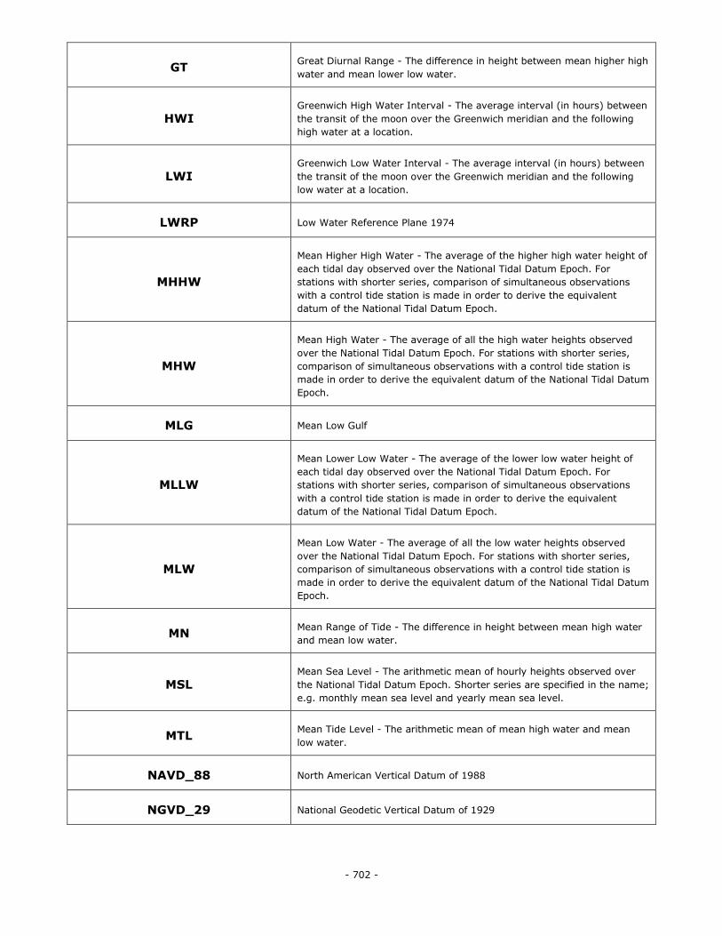
- 702 -
GT Great Diurnal Range - The difference in height between mean higher high
water and mean lower low water.
HWI Greenwich High Water Interval - The average interval (in hours) between
the transit of the moon over the Greenwich meridian and the following
high water at a location.
LWI Greenwich Low Water Interval - The average interval (in hours) between
the transit of the moon over the Greenwich meridian and the following
low water at a location.
LWRP Low Water Reference Plane 1974
MHHW
Mean Higher High Water - The average of the higher high water height of
each tidal day observed over the National Tidal Datum Epoch. For
stations with shorter series, comparison of simultaneous observations
with a control tide station is made in order to derive the equivalent
datum of the National Tidal Datum Epoch.
MHW
Mean High Water - The average of all the high water heights observed
over the National Tidal Datum Epoch. For stations with shorter series,
comparison of simultaneous observations with a control tide station is
made in order to derive the equivalent datum of the National Tidal Datum
Epoch.
MLG Mean Low Gulf
MLLW
Mean Lower Low Water - The average of the lower low water height of
each tidal day observed over the National Tidal Datum Epoch. For
stations with shorter series, comparison of simultaneous observations
with a control tide station is made in order to derive the equivalent
datum of the National Tidal Datum Epoch.
MLW
Mean Low Water - The average of all the low water heights observed
over the National Tidal Datum Epoch. For stations with shorter series,
comparison of simultaneous observations with a control tide station is
made in order to derive the equivalent datum of the National Tidal Datum
Epoch.
MN Mean Range of Tide - The difference in height between mean high water
and mean low water.
MSL Mean Sea Level - The arithmetic mean of hourly heights observed over
the National Tidal Datum Epoch. Shorter series are specified in the name;
e.g. monthly mean sea level and yearly mean sea level.
MTL Mean Tide Level - The arithmetic mean of mean high water and mean
low water.
NAVD_88 North American Vertical Datum of 1988
NGVD_29 National Geodetic Vertical Datum of 1929
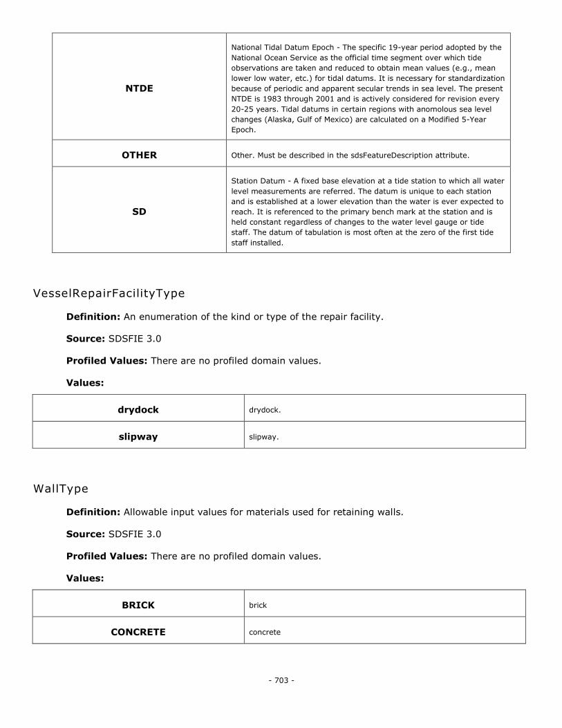
- 703 -
NTDE
National Tidal Datum Epoch - The specific 19-year period adopted by the
National Ocean Service as the official time segment over which tide
observations are taken and reduced to obtain mean values (e.g., mean
lower low water, etc.) for tidal datums. It is necessary for standardization
because of periodic and apparent secular trends in sea level. The present
NTDE is 1983 through 2001 and is actively considered for revision every
20-25 years. Tidal datums in certain regions with anomolous sea level
changes (Alaska, Gulf of Mexico) are calculated on a Modified 5-Year
Epoch.
OTHER Other. Must be described in the sdsFeatureDescription attribute.
SD
Station Datum - A fixed base elevation at a tide station to which all water
level measurements are referred. The datum is unique to each station
and is established at a lower elevation than the water is ever expected to
reach. It is referenced to the primary bench mark at the station and is
held constant regardless of changes to the water level gauge or tide
staff. The datum of tabulation is most often at the zero of the first tide
staff installed.
VesselRepairFacilityType
Definition: An enumeration of the kind or type of the repair facility.
Source: SDSFIE 3.0
Profiled Values: There are no profiled domain values.
Values:
drydock drydock.
slipway slipway.
WallType
Definition: Allowable input values for materials used for retaining walls.
Source: SDSFIE 3.0
Profiled Values: There are no profiled domain values.
Values:
BRICK brick
CONCRETE concrete
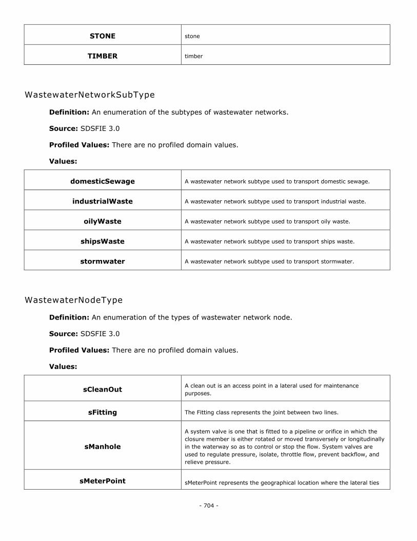
- 704 -
STONE stone
TIMBER timber
WastewaterNetworkSubType
Definition: An enumeration of the subtypes of wastewater networks.
Source: SDSFIE 3.0
Profiled Values: There are no profiled domain values.
Values:
domesticSewage A wastewater network subtype used to transport domestic sewage.
industrialWaste A wastewater network subtype used to transport industrial waste.
oilyWaste A wastewater network subtype used to transport oily waste.
shipsWaste A wastewater network subtype used to transport ships waste.
stormwater A wastewater network subtype used to transport stormwater.
WastewaterNodeType
Definition: An enumeration of the types of wastewater network node.
Source: SDSFIE 3.0
Profiled Values: There are no profiled domain values.
Values:
sCleanOut A clean out is an access point in a lateral used for maintenance
purposes.
sFitting The Fitting class represents the joint between two lines.
sManhole
A system valve is one that is fitted to a pipeline or orifice in which the
closure member is either rotated or moved transversely or longitudinally
in the waterway so as to control or stop the flow. System valves are
used to regulate pressure, isolate, throttle flow, prevent backflow, and
relieve pressure.
sMeterPoint sMeterPoint represents the geographical location where the lateral ties
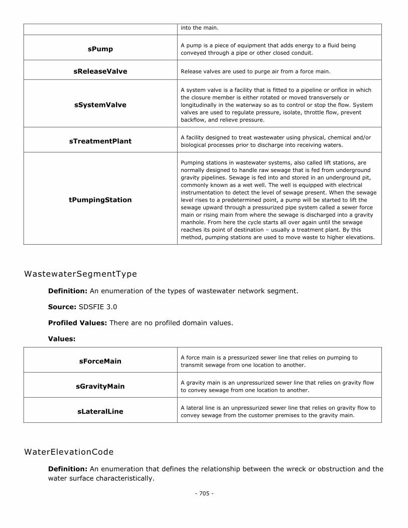
- 705 -
into the main.
sPump A pump is a piece of equipment that adds energy to a fluid being
conveyed through a pipe or other closed conduit.
sReleaseValve Release valves are used to purge air from a force main.
sSystemValve
A system valve is a facility that is fitted to a pipeline or orifice in which
the closure member is either rotated or moved transversely or
longitudinally in the waterway so as to control or stop the flow. System
valves are used to regulate pressure, isolate, throttle flow, prevent
backflow, and relieve pressure.
sTreatmentPlant A facility designed to treat wastewater using physical, chemical and/or
biological processes prior to discharge into receiving waters.
tPumpingStation
Pumping stations in wastewater systems, also called lift stations, are
normally designed to handle raw sewage that is fed from underground
gravity pipelines. Sewage is fed into and stored in an underground pit,
commonly known as a wet well. The well is equipped with electrical
instrumentation to detect the level of sewage present. When the sewage
level rises to a predetermined point, a pump will be started to lift the
sewage upward through a pressurized pipe system called a sewer force
main or rising main from where the sewage is discharged into a gravity
manhole. From here the cycle starts all over again until the sewage
reaches its point of destination – usually a treatment plant. By this
method, pumping stations are used to move waste to higher elevations.
WastewaterSegmentType
Definition: An enumeration of the types of wastewater network segment.
Source: SDSFIE 3.0
Profiled Values: There are no profiled domain values.
Values:
sForceMain A force main is a pressurized sewer line that relies on pumping to
transmit sewage from one location to another.
sGravityMain A gravity main is an unpressurized sewer line that relies on gravity flow
to convey sewage from one location to another.
sLateralLine A lateral line is an unpressurized sewer line that relies on gravity flow to
convey sewage from the customer premises to the gravity main.
WaterElevationCode
Definition: An enumeration that defines the relationship between the wreck or obstruction and the
water surface characteristically.
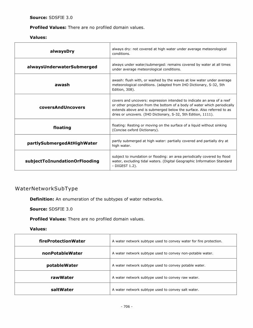
- 706 -
Source: SDSFIE 3.0
Profiled Values: There are no profiled domain values.
Values:
alwaysDry always dry: not covered at high water under average meteorological
conditions.
alwaysUnderwaterSubmerged always under water/submerged: remains covered by water at all times
under average meteorological conditions.
awash awash: flush with, or washed by the waves at low water under average
meteorological conditions. (adapted from IHO Dictionary, S-32, 5th
Edition, 308).
coversAndUncovers
covers and uncovers: expression intended to indicate an area of a reef
or other projection from the bottom of a body of water which periodically
extends above and is submerged below the surface. Also referred to as
dries or uncovers. (IHO Dictionary, S-32, 5th Edition, 1111).
floating floating: Resting or moving on the surface of a liquid without sinking
(Concise oxford Dictionary).
partlySubmergedAtHighWater partly submerged at high water: partially covered and partially dry at
high water.
subjectToInundationOrFlooding subject to inundation or flooding: an area periodically covered by flood
water, excluding tidal waters. (Digital Geographic Information Standard
- DIGEST 1.2).
WaterNetworkSubType
Definition: An enumeration of the subtypes of water networks.
Source: SDSFIE 3.0
Profiled Values: There are no profiled domain values.
Values:
fireProtectionWater A water network subtype used to convey water for fire protection.
nonPotableWater A water network subtype used to convey non-potable water.
potableWater A water network subtype used to convey potable water.
rawWater A water network subtype used to convey raw water.
saltWater A water network subtype used to convey salt water.
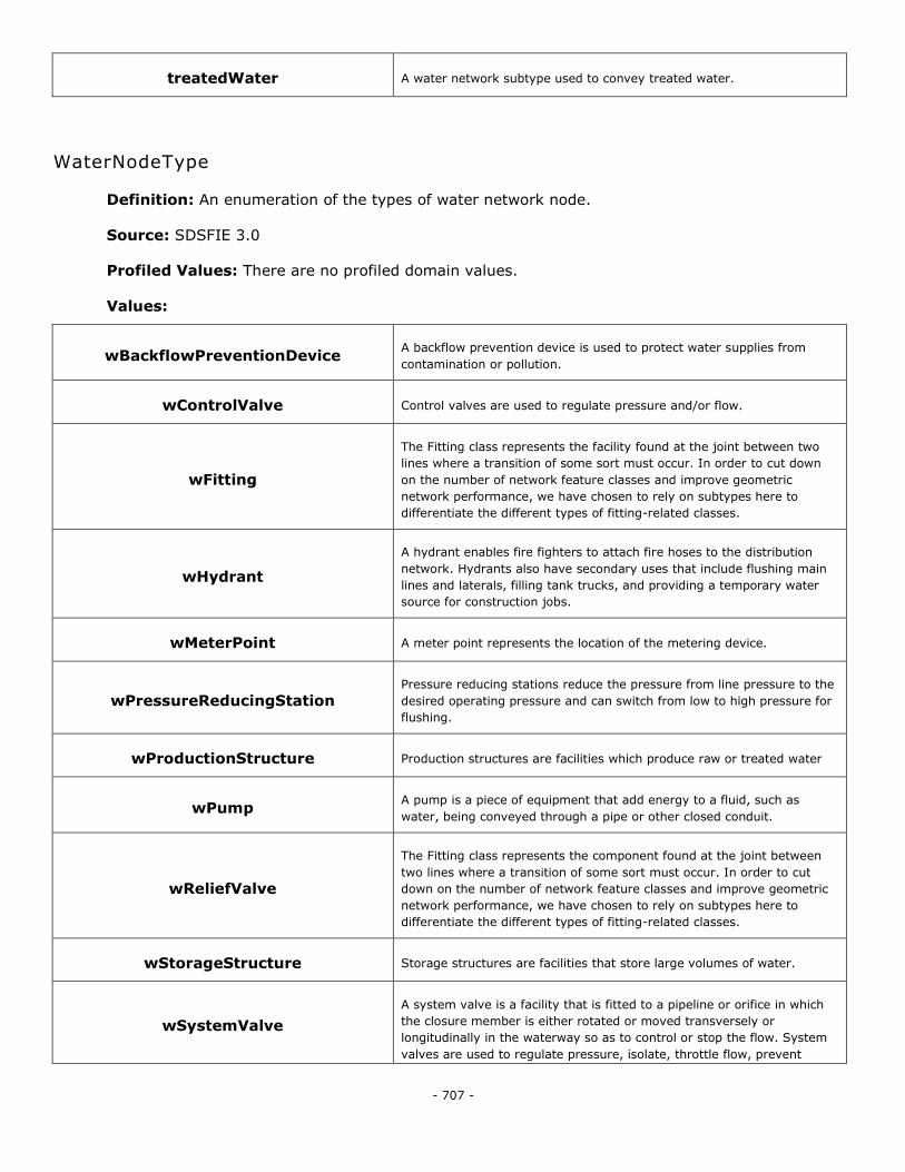
- 707 -
treatedWater A water network subtype used to convey treated water.
WaterNodeType
Definition: An enumeration of the types of water network node.
Source: SDSFIE 3.0
Profiled Values: There are no profiled domain values.
Values:
wBackflowPreventionDevice A backflow prevention device is used to protect water supplies from
contamination or pollution.
wControlValve Control valves are used to regulate pressure and/or flow.
wFitting
The Fitting class represents the facility found at the joint between two
lines where a transition of some sort must occur. In order to cut down
on the number of network feature classes and improve geometric
network performance, we have chosen to rely on subtypes here to
differentiate the different types of fitting-related classes.
wHydrant
A hydrant enables fire fighters to attach fire hoses to the distribution
network. Hydrants also have secondary uses that include flushing main
lines and laterals, filling tank trucks, and providing a temporary water
source for construction jobs.
wMeterPoint A meter point represents the location of the metering device.
wPressureReducingStation Pressure reducing stations reduce the pressure from line pressure to the
desired operating pressure and can switch from low to high pressure for
flushing.
wProductionStructure Production structures are facilities which produce raw or treated water
wPump A pump is a piece of equipment that add energy to a fluid, such as
water, being conveyed through a pipe or other closed conduit.
wReliefValve
The Fitting class represents the component found at the joint between
two lines where a transition of some sort must occur. In order to cut
down on the number of network feature classes and improve geometric
network performance, we have chosen to rely on subtypes here to
differentiate the different types of fitting-related classes.
wStorageStructure Storage structures are facilities that store large volumes of water.
wSystemValve
A system valve is a facility that is fitted to a pipeline or orifice in which
the closure member is either rotated or moved transversely or
longitudinally in the waterway so as to control or stop the flow. System
valves are used to regulate pressure, isolate, throttle flow, prevent
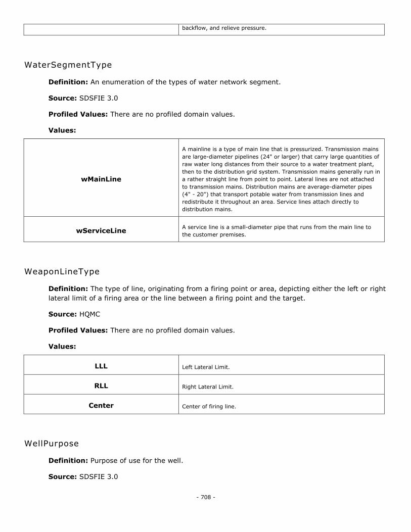
- 708 -
backflow, and relieve pressure.
WaterSegmentType
Definition: An enumeration of the types of water network segment.
Source: SDSFIE 3.0
Profiled Values: There are no profiled domain values.
Values:
wMainLine
A mainline is a type of main line that is pressurized. Transmission mains
are large-diameter pipelines (24" or larger) that carry large quantities of
raw water long distances from their source to a water treatment plant,
then to the distribution grid system. Transmission mains generally run in
a rather straight line from point to point. Lateral lines are not attached
to transmission mains. Distribution mains are average-diameter pipes
(4" - 20") that transport potable water from transmission lines and
redistribute it throughout an area. Service lines attach directly to
distribution mains.
wServiceLine A service line is a small-diameter pipe that runs from the main line to
the customer premises.
WeaponLineType
Definition: The type of line, originating from a firing point or area, depicting either the left or right
lateral limit of a firing area or the line between a firing point and the target.
Source: HQMC
Profiled Values: There are no profiled domain values.
Values:
LLL Left Lateral Limit.
RLL Right Lateral Limit.
Center Center of firing line.
WellPurpose
Definition: Purpose of use for the well.
Source: SDSFIE 3.0
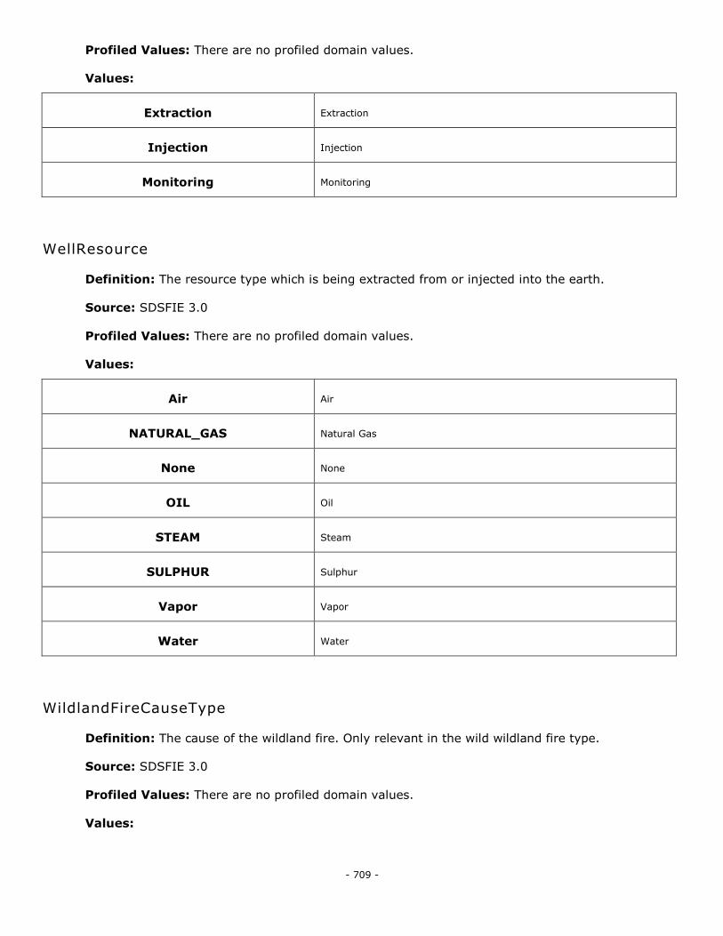
- 709 -
Profiled Values: There are no profiled domain values.
Values:
Extraction Extraction
Injection Injection
Monitoring Monitoring
WellResource
Definition: The resource type which is being extracted from or injected into the earth.
Source: SDSFIE 3.0
Profiled Values: There are no profiled domain values.
Values:
Air Air
NATURAL_GAS Natural Gas
None None
OIL Oil
STEAM Steam
SULPHUR Sulphur
Vapor Vapor
Water Water
WildlandFireCauseType
Definition: The cause of the wildland fire. Only relevant in the wild wildland fire type.
Source: SDSFIE 3.0
Profiled Values: There are no profiled domain values.
Values:
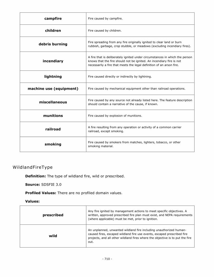
- 710 -
campfire Fire caused by campfire.
children Fire caused by children.
debris burning Fire spreading from any fire originally ignited to clear land or burn
rubbish, garbage, crop stubble, or meadows (excluding incendiary fires).
incendiary A fire that is deliberately ignited under circumstances in which the person
knows that the fire should not be ignited. An incendiary fire is not
necessarily a fire that meets the legal definition of an arson fire.
lightning Fire caused directly or indirectly by lightning.
machine use (equipment) Fire caused by mechanical equipment other than railroad operations.
miscellaneous Fire caused by any source not already listed here. The feature description
should contain a narrative of the cause, if known.
munitions Fire caused by explosion of munitions.
railroad A fire resulting from any operation or activity of a common carrier
railroad, except smoking.
smoking Fire caused by smokers from matches, lighters, tobacco, or other
smoking material.
WildlandFireType
Definition: The type of wildland fire, wild or prescribed.
Source: SDSFIE 3.0
Profiled Values: There are no profiled domain values.
Values:
prescribed Any fire ignited by management actions to meet specific objectives. A
written, approved prescribed fire plan must exist, and NEPA requirements
(where applicable) must be met, prior to ignition.
wild
An unplanned, unwanted wildland fire including unauthorized human-
caused fires, escaped wildland fire use events, escaped prescribed fire
projects, and all other wildland fires where the objective is to put the fire
out.
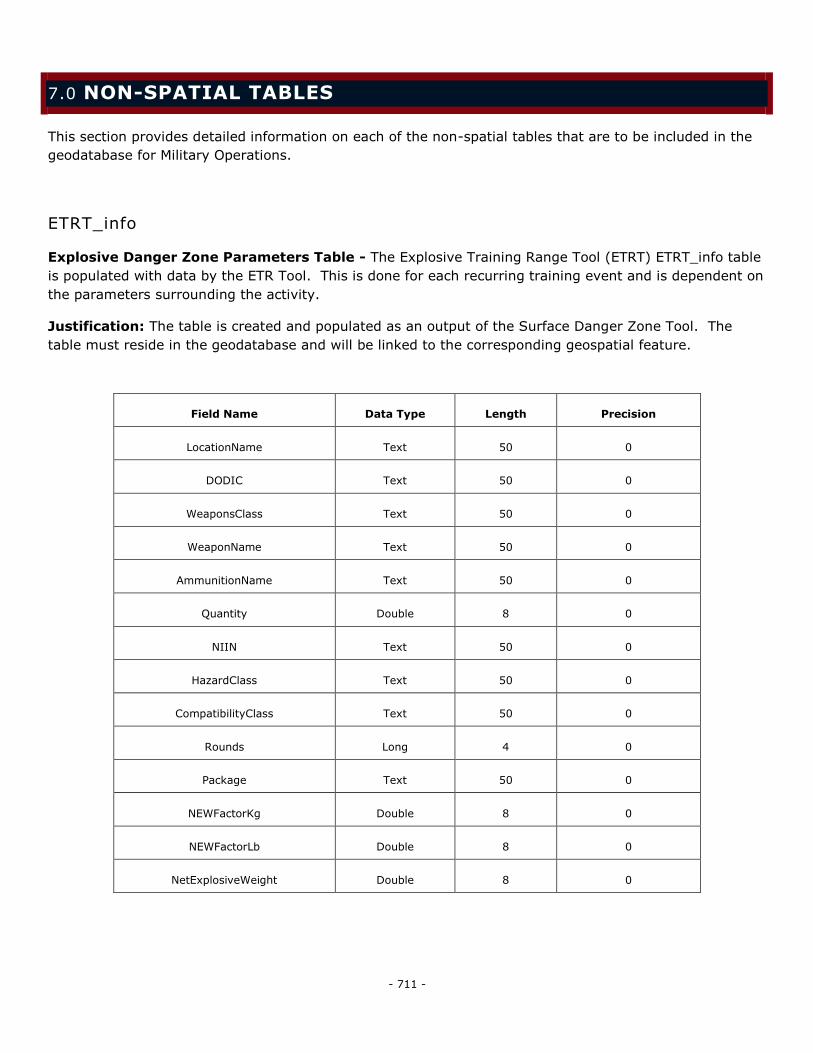
- 711 -
7.0 NON-SPATIAL TABLES
This section provides detailed information on each of the non-spatial tables that are to be included in the
geodatabase for Military Operations.
ETRT_info
Explosive Danger Zone Parameters Table - The Explosive Training Range Tool (ETRT) ETRT_info table
is populated with data by the ETR Tool. This is done for each recurring training event and is dependent on
the parameters surrounding the activity.
Justification: The table is created and populated as an output of the Surface Danger Zone Tool. The
table must reside in the geodatabase and will be linked to the corresponding geospatial feature.
Field Name Data Type Length Precision
LocationName Text 50 0
DODIC Text 50 0
WeaponsClass Text 50 0
WeaponName Text 50 0
AmmunitionName Text 50 0
Quantity Double 8 0
NIIN Text 50 0
HazardClass Text 50 0
CompatibilityClass Text 50 0
Rounds Long 4 0
Package Text 50 0
NEWFactorKg Double 8 0
NEWFactorLb Double 8 0
NetExplosiveWeight Double 8 0
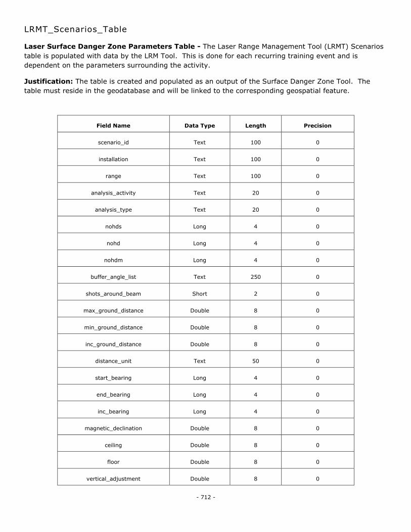
- 712 -
LRMT_Scenarios_Table
Laser Surface Danger Zone Parameters Table - The Laser Range Management Tool (LRMT) Scenarios
table is populated with data by the LRM Tool. This is done for each recurring training event and is
dependent on the parameters surrounding the activity.
Justification: The table is created and populated as an output of the Surface Danger Zone Tool. The
table must reside in the geodatabase and will be linked to the corresponding geospatial feature.
Field Name Data Type Length Precision
scenario_id Text 100 0
installation Text 100 0
range Text 100 0
analysis_activity Text 20 0
analysis_type Text 20 0
nohds Long 4 0
nohd Long 4 0
nohdm Long 4 0
buffer_angle_list Text 250 0
shots_around_beam Short 2 0
max_ground_distance Double 8 0
min_ground_distance Double 8 0
inc_ground_distance Double 8 0
distance_unit Text 50 0
start_bearing Long 4 0
end_bearing Long 4 0
inc_bearing Long 4 0
magnetic_declination Double 8 0
ceiling Double 8 0
floor Double 8 0
vertical_adjustment Double 8 0
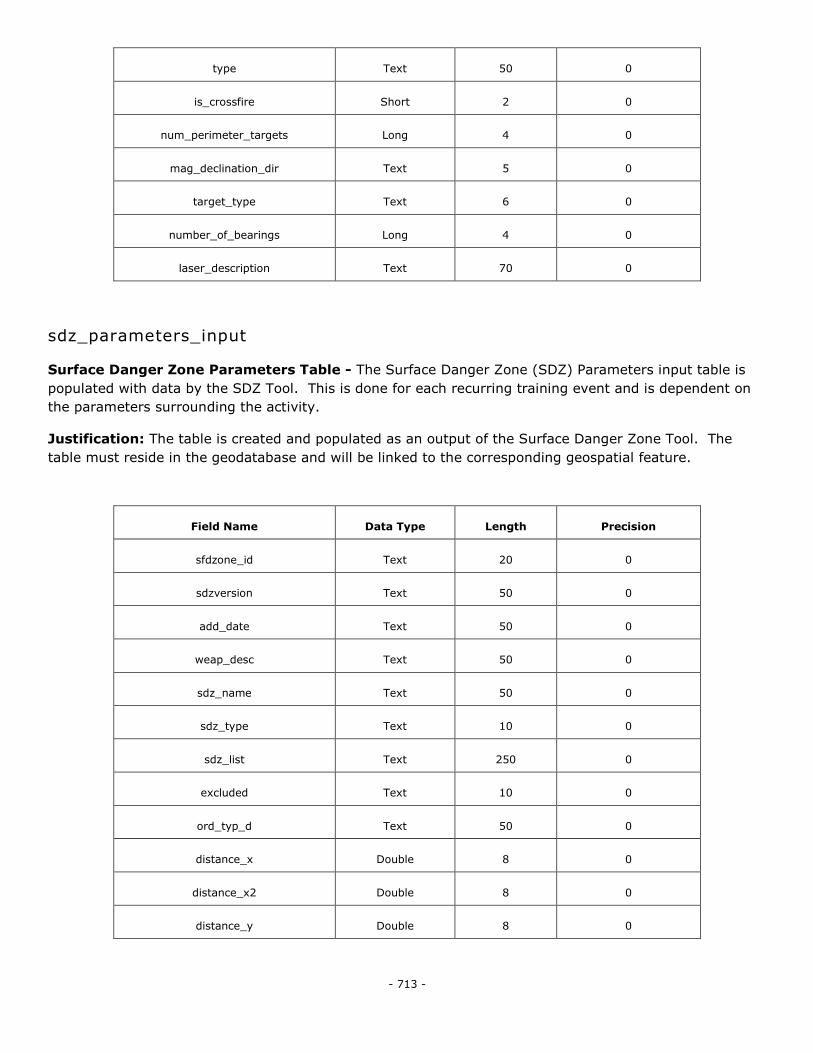
- 713 -
type Text 50 0
is_crossfire Short 2 0
num_perimeter_targets Long 4 0
mag_declination_dir Text 5 0
target_type Text 6 0
number_of_bearings Long 4 0
laser_description Text 70 0
sdz_parameters_input
Surface Danger Zone Parameters Table - The Surface Danger Zone (SDZ) Parameters input table is
populated with data by the SDZ Tool. This is done for each recurring training event and is dependent on
the parameters surrounding the activity.
Justification: The table is created and populated as an output of the Surface Danger Zone Tool. The
table must reside in the geodatabase and will be linked to the corresponding geospatial feature.
Field Name Data Type Length Precision
sfdzone_id Text 20 0
sdzversion Text 50 0
add_date Text 50 0
weap_desc Text 50 0
sdz_name Text 50 0
sdz_type Text 10 0
sdz_list Text 250 0
excluded Text 10 0
ord_typ_d Text 50 0
distance_x Double 8 0
distance_x2 Double 8 0
distance_y Double 8 0
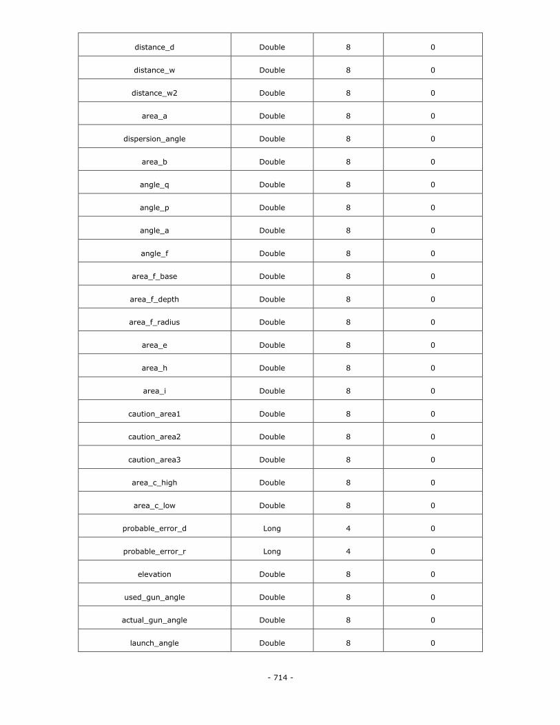
- 714 -
distance_d Double 8 0
distance_w Double 8 0
distance_w2 Double 8 0
area_a Double 8 0
dispersion_angle Double 8 0
area_b Double 8 0
angle_q Double 8 0
angle_p Double 8 0
angle_a Double 8 0
angle_f Double 8 0
area_f_base Double 8 0
area_f_depth Double 8 0
area_f_radius Double 8 0
area_e Double 8 0
area_h Double 8 0
area_i Double 8 0
caution_area1 Double 8 0
caution_area2 Double 8 0
caution_area3 Double 8 0
area_c_high Double 8 0
area_c_low Double 8 0
probable_error_d Long 4 0
probable_error_r Long 4 0
elevation Double 8 0
used_gun_angle Double 8 0
actual_gun_angle Double 8 0
launch_angle Double 8 0
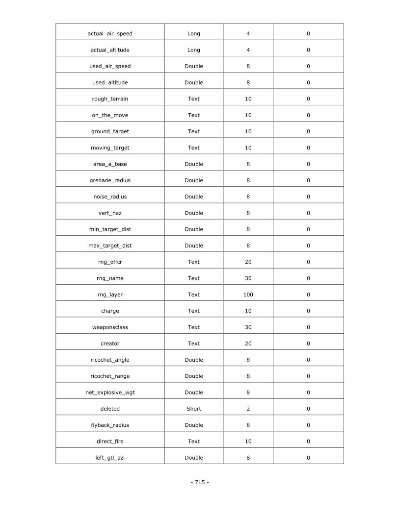
- 715 -
actual_air_speed Long 4 0
actual_altitude Long 4 0
used_air_speed Double 8 0
used_altitude Double 8 0
rough_terrain Text 10 0
on_the_move Text 10 0
ground_target Text 10 0
moving_target Text 10 0
area_a_base Double 8 0
grenade_radius Double 8 0
noise_radius Double 8 0
vert_haz Double 8 0
min_target_dist Double 8 0
max_target_dist Double 8 0
rng_offcr Text 20 0
rng_name Text 30 0
rng_layer Text 100 0
charge Text 10 0
weaponsclass Text 30 0
creator Text 20 0
ricochet_angle Double 8 0
ricochet_range Double 8 0
net_explosive_wgt Double 8 0
deleted Short 2 0
flyback_radius Double 8 0
direct_fire Text 10 0
left_gtl_azi Double 8 0
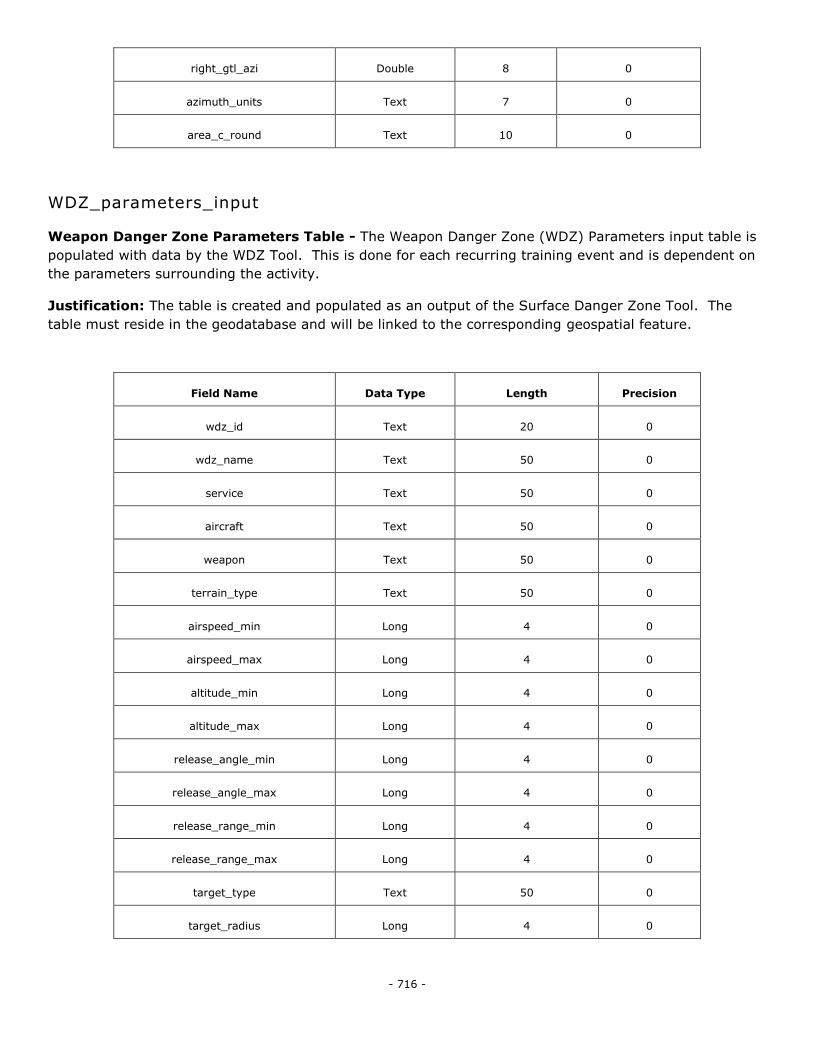
- 716 -
right_gtl_azi Double 8 0
azimuth_units Text 7 0
area_c_round Text 10 0
WDZ_parameters_input
Weapon Danger Zone Parameters Table - The Weapon Danger Zone (WDZ) Parameters input table is
populated with data by the WDZ Tool. This is done for each recurring training event and is dependent on
the parameters surrounding the activity.
Justification: The table is created and populated as an output of the Surface Danger Zone Tool. The
table must reside in the geodatabase and will be linked to the corresponding geospatial feature.
Field Name Data Type Length Precision
wdz_id Text 20 0
wdz_name Text 50 0
service Text 50 0
aircraft Text 50 0
weapon Text 50 0
terrain_type Text 50 0
airspeed_min Long 4 0
airspeed_max Long 4 0
altitude_min Long 4 0
altitude_max Long 4 0
release_angle_min Long 4 0
release_angle_max Long 4 0
release_range_min Long 4 0
release_range_max Long 4 0
target_type Text 50 0
target_radius Long 4 0
- 717 -
live Short 1 0
run_in_heading_fro Long 4 0
run_in_heading_to Long 4 0
target_id Text 20 0
event_name Text 50 0
range_name Text 50 0
range_type Text 50 0
footprint_id Text 50 0
containment Double 8 0
wdz_type Text 50 0
excluded Short 1 0
wdz_list Text 2147483647 0
is_string_of_bombs Short 1 0
bomb_number Long 4 0
bomb_spacing Long 4 0
bomb_on_target Long 4 0
launch_pt_to_targe Double 8 0
launch_pt_to_targe Double 8 0
is_launch_centric Short 1 0
magnetic_declinati Double 8 0
creator Text 50 0
create_date Date 8 0
launch_mode Text 50 0
PGM_target Short 1 0
two_target_strafe Short 1 0
JDAM_response Short 1 0
wsfa_id Text 50 0
- 718 -
aircraft_heading_a Double 8 0
launch_pt_to_targe Double 8 0
launch_range Double 8 0
back_range Double 8 0
cross_range Double 8 0
down_range Double 8 0
is_terrain_mitigat Short 1 0
ter_env_top_left_x Double 8 0
ter_env_top_left_y Double 8 0
ter_env_bot_right_ Double 8 0
ter_env_bot_right_ Double 8 0
vert_hazard Double 8 0
wind_factor Text 50 0
8.0 DOCUMENT HISTORY
Version Date Description File Name
3.0 01 July 2011
Identifies the primary
USMC SDSFIE Gold
Adaptation.
GEOFidelis Data Model –
3 (Final).doc
3.0.0.1 21 September 2012
The draft was created to
improve formatting and
correct issues identified
by DISDI, the STARS
team, and HQMC.
GEOFidelis Data Model –
3.0.0.1 (Final).doc