Embed Size (px)
Citation preview
1
Unit II
Floodplain Management Basics
II-2
Unit II Objectives
Define key terms and concepts used in floodplain management
Discuss the value of protecting floodplains
II-3
Unit II Objectives (cont.)
List key events and legislation in floodplain management
Differentiate between Federal, State, and local roles in floodplain management
2
II-4
Key Terms and Concepts
II-5
Floodplain
Any land area susceptible to being inundated by flood waters from any source
A lowland and a relatively flat area adjoining inland and coastal waters
The 100-year or base floodplain
II-6
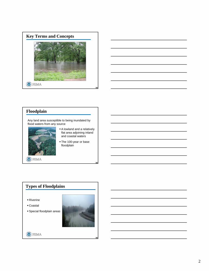
Types of Floodplains
Riverine
Coastal
Special floodplain areas
3
II-7
Riverine Floodplains
Valley areas adjacent to any size stream or river that can be covered by floodwaters
Riverine Flooding: Flooding along a channel
II-8
Coastal Floodplains
Border lakes, estuaries, gulfs, or oceans
Flooding due to landward flows caused by unusually high tides, waves from high winds, storm surges, tsunamis, or combination
Photo Source: J Sparenberg
II-9
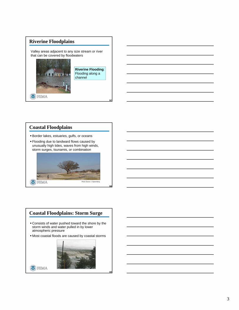
Coastal Floodplains: Storm Surge
Consists of water pushed toward the shore by the storm winds and water pulled in by lower atmospheric pressure
Most coastal floods are caused by coastal storms

4
II-10
Special Floodplain Areas
Sheet flow or shallow flooding areas
Wetlands
Sinkholes
II-11
Watershed
A specific area of land that drains water, sediment, and dissolved materials to a common water body such as a river, lake or ocean
Flooding in an elevated area of the watershed can drain and flood lower lying areas
II-12
Floodplain: Engineering Analysis
Hydrologic Analysis:
Amount of precipitation likely to fall on watershed
Amount of precipitation that will be absorbed by the soil and vegetation or trapped in depressions
Peak water flows (cubic feet per second)
Hydraulic Analysis:
Watershed capacity
How water will flow through the watershed
Structure
Interaction
5
II-13
National Flood Insurance Program
Enables property owners in participating communities to purchase insurance as protection against flood losses
In exchange, States and communities must have floodplain management regulations that reduce future flood damages
II-14
Base Floodplain
Area that has at leasta 1% chance of being flooded in any year
Also referred to as the “100-year floodplain”
II-15
Base Flood Elevation (BFE)
Water surface elevation corresponding to a flood that has a 1% probability of being equaled or exceeded in any given year
44 CFR Part 9 and EO 11988: the minimum standard for protecting facilities and structures

6
II-16
Base Flood Elevation (cont.)
Used to determine if property owners are required to obtain flood insurance as a condition of obtaining a federally backed mortgage loan or other financial assistance
II-17
Floodway
Channel of a river or watercourse and the adjacent areas that must be unconfined or unobstructed
Provides for the discharge of the base flood
Floodwaters generally are deepest and swiftest in the regulatory floodway
II-18
Flood Fringe
Flood Fringe is:
The portion of the floodplain outside of the floodway
Usually contains slow-moving or standing water
Often referred to as "floodway fringe"
Development in the flood fringe typically does not interfere with the flow of water, so floodplain regulations for these areas
often allow development to occur. However, elevation and floodproofing is required.

7
II-19
Why the 1% Chance Flood?
1% ChanceFlood
10% Chance FloodExcessive
exposure to flood risk
0.1% Chance FloodExcessive standard
II-20
Special Flood Hazard Area (SFHA)
Area where NFIP floodplain management regulations must be enforced
Also known as Base Floodplain
II-21
Flood Hazard Boundary Map (FHBM)
8
II-22
Flood Boundary and Floodway Map (FBFM)
II-23
Flood Insurance Rate Map (FIRM)
Flood maps developed by engineers, based on hydrologic and hydraulic analyses
Show locations of the SFHAs
II-24
Flood Zones in SFHAs
A Zone Any area within the SFHA without an established BFE
AE ZoneBFE has been determined through an engineering analysis called a Flood Insurance Study (FIS)
AO Zone
Areas subject to inundation by 1-percent-annual-chance shallow flooding (usually sheet flow on sloping terrain) where average depths are between one and three feet. Some Zone AO have been designated in areas with high flood velocities such as alluvial fans and washes.
AH ZoneAreas subject to inundation by 1-percent-annual-chance shallow flooding (usually areas of ponding) where average depths are between one and three feet.

9
II-25
Flood Zones in SFHAs (cont.)
V Zone Coastal area where there is a velocity hazard due to wave action
VE Zone Coastal area with velocity hazard due to wave action and for which BFE has been determined
II-26
Terms
Coastal High Hazard Area: The areas subject to high velocity waters including but not limited to hurricane wave wash or tsunamis. On a Flood Insurance Study (FIS) this area appears as a V or VE Zone.
Critical Action: For which even a slight chance of flooding is too great. The minimum floodplain of concern is the 500-year floodplain. Critical actions include, but are not limited to those which create or extend the useful life of structures or faculties.
Five Hundred Year Floodplain: The base floodplain, which is subject to inundation from a flood having a 0.2 percent chance of being equaled or exceeded in any given year.
II-27
New Construction
Construction of a new structure or facility
Placement of a mobile home
Replacement of a structure that has been “totally destroyed”
Is there a difference between replacement and reconstruction?
What is “totally destroyed?”
10
II-28
Functionally Dependent Use
Use which cannot perform its intended purpose unless it is located or carried out in close proximity to water
What are examples of functionally dependent use?
II-29
Substantial Improvements
Any repair, reconstruction or other improvement of a structure, that has been damaged in excess of 50% of the market value of the structure before the damage occurred
Any repair, reconstruction, or other improvement of a structure or facility, which has been damaged in excess of 50% of the replacement cost of the facility before the damage occurred
Any repair, reconstruction or other improvement of a structure, the cost of which equals or exceeds 50% of the market value of the structure before the repair or improvement started
Any repair, reconstruction or other improvement of a structure or facility the cost of which equals or exceeds 50% of the replacement cost of the facility before the repair or improvement is started
II-30
Discussion Question
How do you determine if repairing a small portion of a road, utility line, or levee is substantial improvement?

11
II-31
Advisory Base Flood Elevation (ABFE)
May be issued by FEMA when a major flood disaster indicates the current FIS and FIRMs need updating
Based on post-flood surveys of flood elevations in the community
II-32
Advisory Base Flood Elevation (cont.)
Provided to communities as advisory information
May be the best available data in a community
Adoption of ABFE by communities is voluntary
II-33
Check on Learning
Review of Floodplain Management Terms
12
II-34
Natural and Beneficial Values of Floodplains
These are the qualities of floodplains or the functions served by floodplains
Also referred to as natural resources, natural functions, or special qualities of the floodplain
II-35
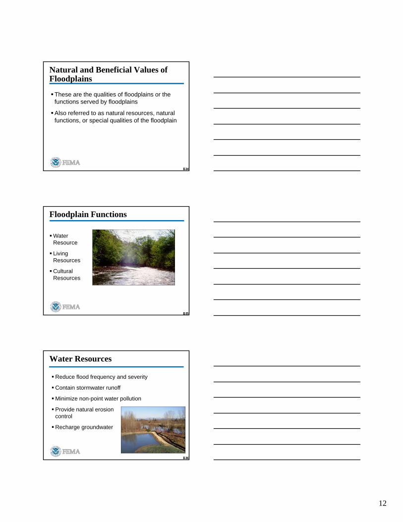
Floodplain Functions
Water Resource
Living Resources
Cultural Resources
II-36
Water Resources
Reduce flood frequency and severity
Contain stormwater runoff
Minimize non-point water pollution
Provide natural erosion control
Recharge groundwater
13
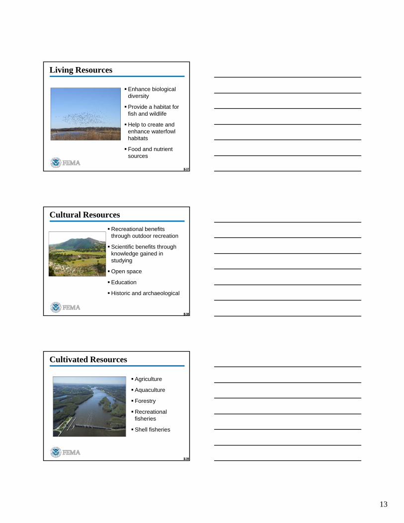
II-37
Living Resources
Enhance biological diversity
Provide a habitat for fish and wildlife
Help to create and enhance waterfowl habitats
Food and nutrient sources
II-38
Cultural Resources
Recreational benefits through outdoor recreation
Scientific benefits through knowledge gained in studying
Open space
Education
Historic and archaeological
II-39
Cultivated Resources
Agriculture
Aquaculture
Forestry
Recreational fisheries
Shell fisheries

14
II-40
Floodplain Management
Floodplain management is a program of corrective and preventive measures for reducing flood damage
Source: Iowa Dept. of Natural Resources
I-41
Discussion Questions
What are some examples of measures that protect property from flood damage by modifying the flow of water?
What measures limit flood damages to existing structures or infrastructure without restricting the flow of floodwaters?
What measures limit or prevent flood damages to new structures?
II-42
Higher Standards
Examples:
Requirement that buildings be protected or elevated to a level higher than the BFE
Prohibition of fill in the floodplain or requirement for compensatory storage space for floodwaters
Communities may adopt requirements that go beyond the minimum NFIP requirements
15
II-43
Video: Protecting Structures in a Floodplain
1
Unit III
WetlandsProtection Basics
III-2
Unit III Objectives
Define key wetlands terms and conepts
Explain wetland values to the environment
List key events and legislation in evolution of wetland protection
Describe the role of the Federal, State, and local governments in wetland protection
III-3
Discussion Question
What is a wetland?

2
III-4
Definition of Wetlands
Areas that are inundated or saturated at a frequency and duration sufficient to support, --and under “normal circumstances” do support,--vegetation adapted for life in saturated soil conditions
III-5
Characteristics of Wetlands
Characteristics of wetlands vary, but share ecological similarities:
Store water
Transform nutrients and pollutants
Support biological diversity
III-6
Marshes
Predominantly contain plants that do not have strong woody stems and branches
May be freshwater, saltwater, or brackish
Source: www.refugenet.org
3
III-7
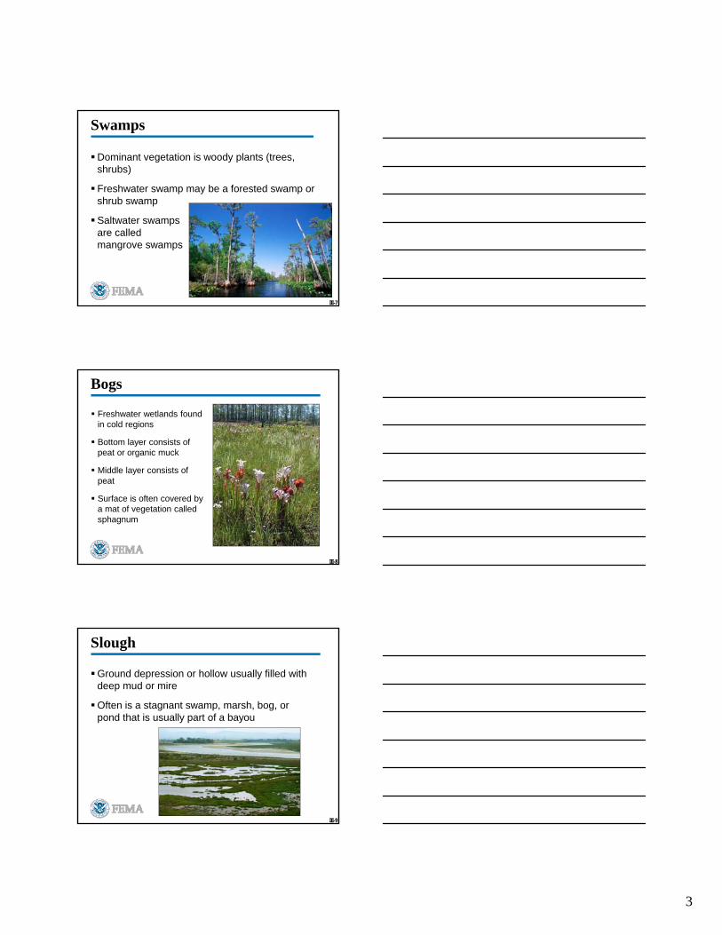
Swamps
Dominant vegetation is woody plants (trees, shrubs)
Freshwater swamp may be a forested swamp or shrub swamp
Saltwater swamps are called mangrove swamps
III-8
Bogs
Freshwater wetlands found in cold regions
Bottom layer consists of peat or organic muck
Middle layer consists of peat
Surface is often covered by a mat of vegetation called sphagnum
III-9
Slough
Ground depression or hollow usually filled with deep mud or mire
Often is a stagnant swamp, marsh, bog, or pond that is usually part of a bayou

4
III-10
Pothole
A shallow, water-holding depression of glacial origin
Sizes range from less than one-quarter to several thousand acres
May be caused by wind erosion
III-11
Check on Learning: Wetlands
1. Woody plants like trees and shrubs are found in _______.
2. _______ are deep and filled with deep mud or mire.
3. The bottom layer of a ______ consists of peat.
4. _____ are filled with herbaceous plants, not woody plants.
5. Glaciers or winds formed these shallow, water-holding
depressions called __________.
III-12
Wetlands Classification System
Developed by the U.S. Fish and Wildlife Service in 1979
Referenced in 44 CFR Part 9
Used by FEMA in wetland determination
Consists of five systems
5
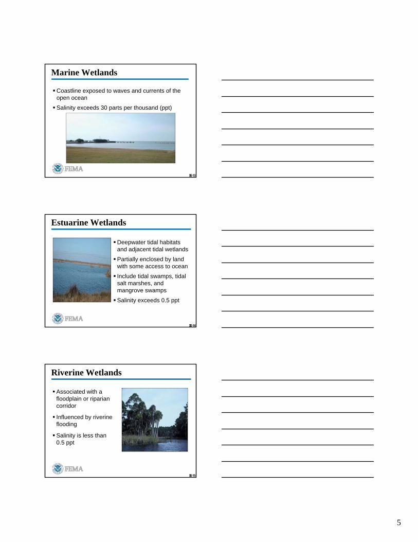
III-13
Marine Wetlands
Coastline exposed to waves and currents of the open ocean
Salinity exceeds 30 parts per thousand (ppt)
III-14
Estuarine Wetlands
Deepwater tidal habitats and adjacent tidal wetlands
Partially enclosed by land with some access to ocean
Include tidal swamps, tidal salt marshes, and mangrove swamps
Salinity exceeds 0.5 ppt
III-15
Riverine Wetlands
Associated with a floodplain or riparian corridor
Influenced by riverine flooding
Salinity is less than 0.5 ppt

6
III-16
Lacustrine Wetlands
Situated in a topographic depression or dammed river channel
Lack trees, shrubs, mosses, or lichens – plants tend to be floating or submerged
Salinity is less than 0.5 ppt
III-17
Palustrine Wetlands
Dominated by trees, shrubs, persistent emergents, emergent (vs. submergent or floating) mosses or lichens
Include marshes, swamps, and bogs
Salinity is less than 0.5 ppt
III-18
Check on Learning: Wetland Systems
1. Lakes or dammed river channels with floating or submerged plants are ____________ wetlands.
2. A wetland system exposed to waves and currents of open ocean is _________.
3. Trees, shrubs, mosses and lichens are associated with _________ wetlands.
4. _______ wetlands are associated with a floodplain or a lush, thick, streamside vegetation.
5. Tidal swamps, tidal salt marshes, and mangrove swamps are _______ wetlands.
7
III-19
USACE Wetlands Delineation Manual
In 1987 the U.S. Army Corps of Engineers developed a manual that:
Identifies and delineates wetlands potentially subject to Clean Water Act Section 404 permit requirements
Requires a positive wetland indicator for all three parameters: vegetation, soils, and hydrology
NOTE: FWS only requires a positive wetland indicator for any one of the three parameters
Has Regional variations

1
Unit IV
Executive Orders 11988 & 11990: Floodplain Management and Wetlands
Protection
IV-2
Unit IV Objectives (cont.)
Refer to 44 CFR Part 9 sections for implementing EOs
Differentiate between Actions and Critical Actions
List the eight steps of the decision-making process for EOs
IV-3
44 CFR Part 9
Provides leadership in floodplain management and wetland protection
Integrates the EOs’ goals into FEMA’s procedures for implementing NEPA
Applies to all FEMA actions

2
IV-4
Actions vs. Critical Actions
IV-5
Actions
Defined in 44 CFR 9.4 as any action or activity:
Acquiring, managing, and disposing of Federal lands and facilities
Providing federally undertaken, financed, or assisted construction and improvements
Conducting Federal activities and programs affecting land use
IV-6
Critical Actions
Defined in 44 CFR 9.4 as any action or activity:
For which even a slight chance of flooding is too great
That creates or extends the useful life of structures or facilities (critical facilities)
What are some examples of critical facilities?
3
IV-7
Critical Actions (cont.)
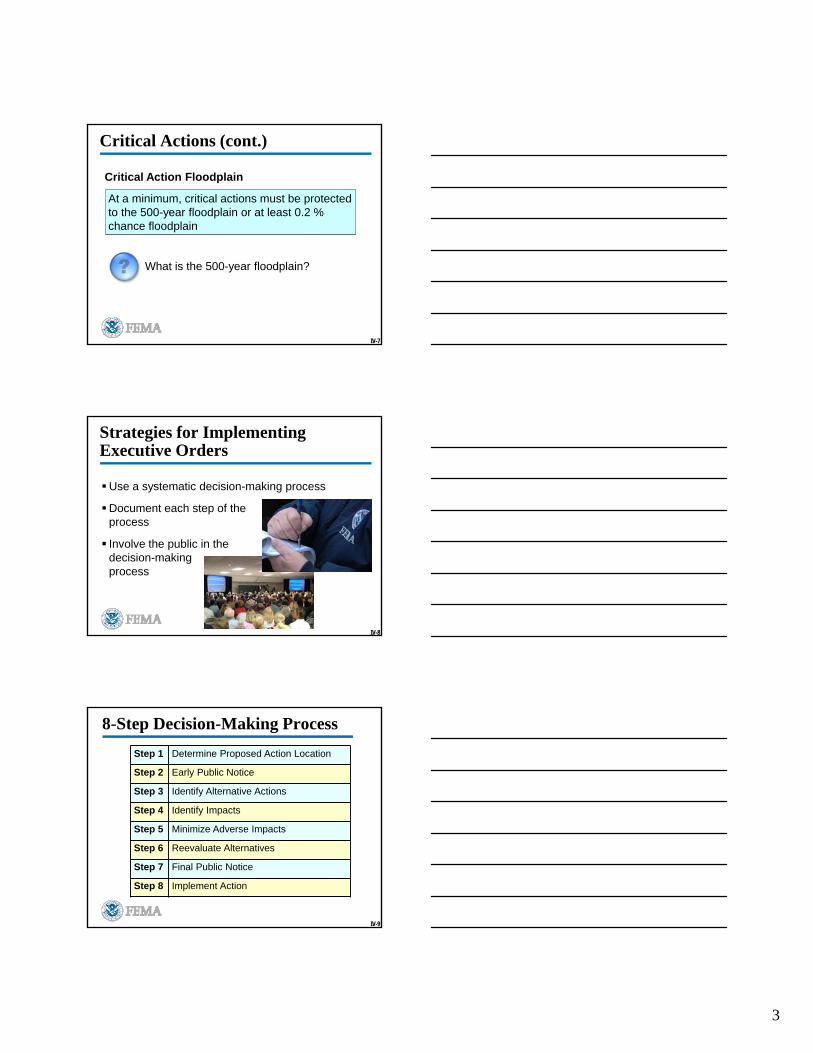
Critical Action Floodplain
At a minimum, critical actions must be protected to the 500-year floodplain or at least 0.2 % chance floodplain
What is the 500-year floodplain?
IV-8
Strategies for Implementing Executive Orders
Use a systematic decision-making process
Document each step of the process
Involve the public in the decision-making process
IV-9
8-Step Decision-Making Process
Step 1 Determine Proposed Action Location
Step 2 Early Public Notice
Step 3 Identify Alternative Actions
Step 4 Identify Impacts
Step 5 Minimize Adverse Impacts
Step 6 Reevaluate Alternatives
Step 7 Final Public Notice
Step 8 Implement Action
4
IV-10
Applicant’s Responsibilities
Applicants must recognize and reflect the following in their application:
FEMA’s policy on floodplain management and wetlands protection
The decision-making process used by the agency
Mitigation and public involvement
Applicants may be called upon to provide supporting information relative to the various responsibilities listed above
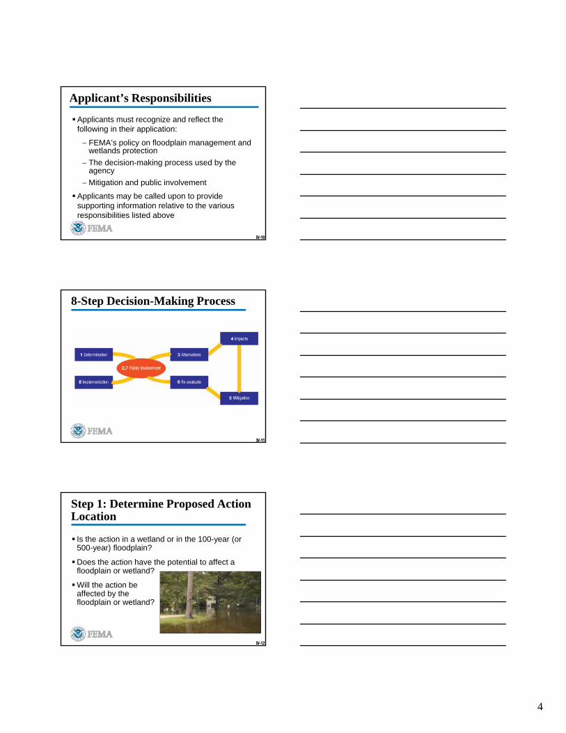
IV-11
8-Step Decision-Making Process
IV-12
Step 1: Determine Proposed Action Location
Is the action in a wetland or in the 100-year (or 500-year) floodplain?
Does the action have the potential to affect afloodplain or wetland?
Will the action be affected by the floodplain or wetland?
5
IV-13
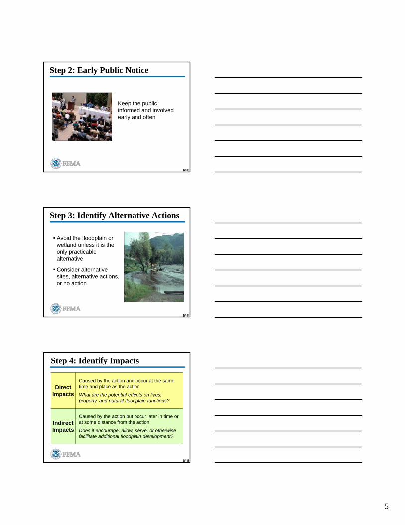
Step 2: Early Public Notice
Keep the public informed and involved early and often
IV-14
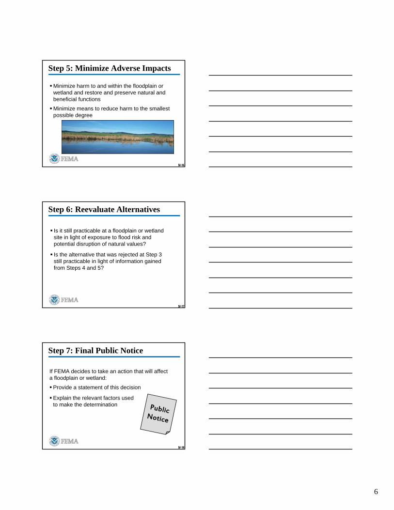
Step 3: Identify Alternative Actions
Avoid the floodplain or wetland unless it is the only practicable alternative
Consider alternative sites, alternative actions, or no action
IV-15
Step 4: Identify Impacts
Direct Impacts
Caused by the action and occur at the same time and place as the action
What are the potential effects on lives, property, and natural floodplain functions?
Indirect Impacts
Caused by the action but occur later in time or at some distance from the action
Does it encourage, allow, serve, or otherwise facilitate additional floodplain development?
6
IV-16
Step 5: Minimize Adverse Impacts
Minimize harm to and within the floodplain or wetland and restore and preserve natural and beneficial functions
Minimize means to reduce harm to the smallest possible degree
IV-17
Step 6: Reevaluate Alternatives
Is it still practicable at a floodplain or wetland site in light of exposure to flood risk and potential disruption of natural values?
Is the alternative that was rejected at Step 3 still practicable in light of information gained from Steps 4 and 5?
IV-18
Step 7: Final Public Notice
If FEMA decides to take an action that will affect a floodplain or wetland:
Provide a statement of this decision
Explain the relevant factors used to make the determination

7
IV-19
Step 8: Implement Action
Implement the action
Monitor the action to ensure that it is carried out as decided
Source: www.villageofhaverstraw.com
IV-20
8-Step Process Diagram
Yes
EARLY PUBLIC REVIEW
IDENTIFY & EVALUATE ALTERNATIVESTO LOCATING IN FLOODPLAIN
NOT IN FLOODPLAININ FLOODPLAIN
IDENTIFY IMPACTS OF PROPOSED ACTION
MINIMIZE, RESTORE AND PRESERVE
RE-EVALUATE ALTERNATIVES NO ACTION
IMPLEMENT ACTIONFINDINGS AND PUBLIC EXPLANATION
INFLOODPLAIN
Yes
LIMIT ACTION – RETURN TO STEP 3
DOES ACTIONIMPACT
FLOODPLAIN?
DOES ACTIONINDIRECTLY SUPPORT
FLOODPLAIN DEVELOPMENT
No
NoIS PROPOSED ACTION IN THE FLOODPLAIN?
NO ACTION
1.
2.
3.
4.
5.
6.
7.8.
IV-21
Check on Learning
Unit IV Review
1
Unit V
Step 1 – Determine Location of Proposed Action
V-2
Unit V Objectives
Explain the Step 1 tasks
Use a Flood Hazard Boundary Map, Flood Insurance Rate Map, or FIRMette to gather floodplain data
Use the “Wetlands Mapper” to gather wetlands data
V-3
Unit V Objectives (cont.)
Describe the scope of action
Explain how to gather field data
Recognize critical actions and their higher standard

2
V-4
8-Step Decision-Making Process
Step 1 Determine Proposed Action Location
Step 2 Early Public Notice
Step 3 Identify Alternative Actions
Step 4 Identify Impacts
Step 5 Minimize Adverse Impacts
Step 6 Reevaluate Alternatives
Step 7 Final Public Notice
Step 8 Implement Action
V-5
Information Needed
FEMA determines whether the proposed action is located in a floodplain or a wetland:
100- and 500-year floods
Location of floodways
Location of coastal high hazard areas
Flooding characteristics
Location of wetland
V-6
Flooding Characteristics
Velocity of floodwater
Rate of rise of floodwater
Duration of flooding
Availability of warning system and evacuation routes
Presence of levees, erosion, subsidence, sink holes, etc.
Flood frequency or return interval
3
V-7
Discussion Question
What are some questions to ask to determine if data is current?
V-8
Use Complete Data
Does the flood map delineate the floodway?
Does the flood map delineate the 500-year floodplain boundaries?
Does the flood map indicate if the area near the site of the proposed action was studied in detail?
V-9
Document Data Source
Anecdotal data - who provided the data and when?
Written data – what is the source?
A FIRM – what is the community panel number and map date?
4
V-10
Discussion Question
Why is it important to document your data source?
V-11
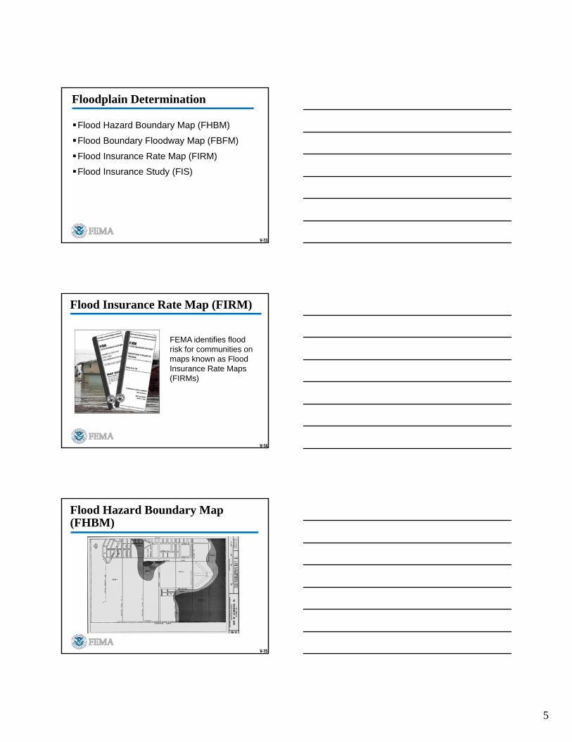
Gather Field Data
Visit proposed action site
Take site photographs
Talk to applicants and others in the area
Gather environmental information
V-12
Discussion Question
What can you look for on a site visit to identify if the site is a floodplain or wetland?
5
V-13
Floodplain Determination
Flood Hazard Boundary Map (FHBM)
Flood Boundary Floodway Map (FBFM)
Flood Insurance Rate Map (FIRM)
Flood Insurance Study (FIS)
V-14
Flood Insurance Rate Map (FIRM)
FEMA identifies flood risk for communities on maps known as Flood Insurance Rate Maps (FIRMs)
V-15
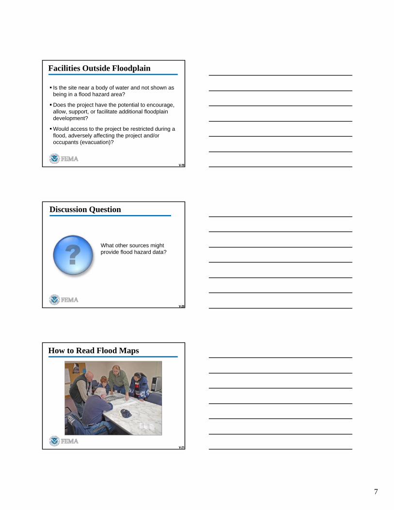
Flood Hazard Boundary Map (FHBM)
6
V-16
Flood Boundary and Floodway Map (FBFM)
V-17
Example FIRM
V-18
Example FIS: Cover
7
V-19
Facilities Outside Floodplain
Is the site near a body of water and not shown as being in a flood hazard area?
Does the project have the potential to encourage, allow, support, or facilitate additional floodplain development?
Would access to the project be restricted during a flood, adversely affecting the project and/or occupants (evacuation)?
V-20
Discussion Question
What other sources might provide flood hazard data?
V-21
How to Read Flood Maps
8
V-22
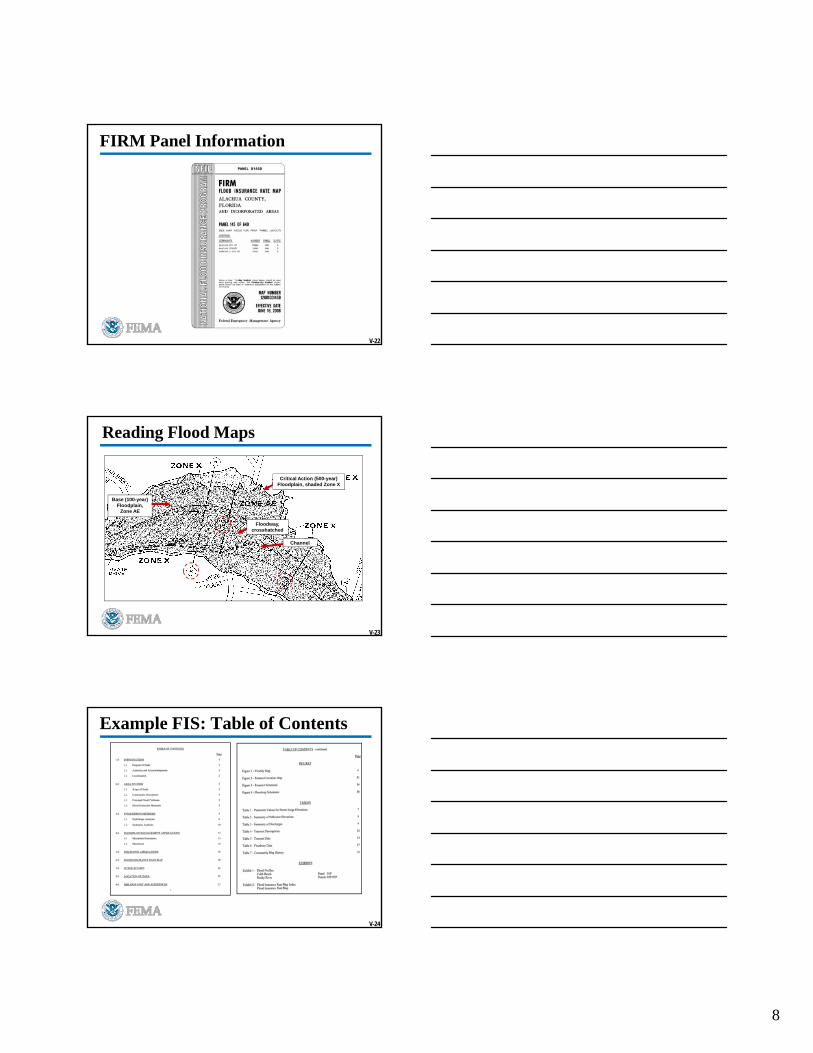
FIRM Panel Information
V-23
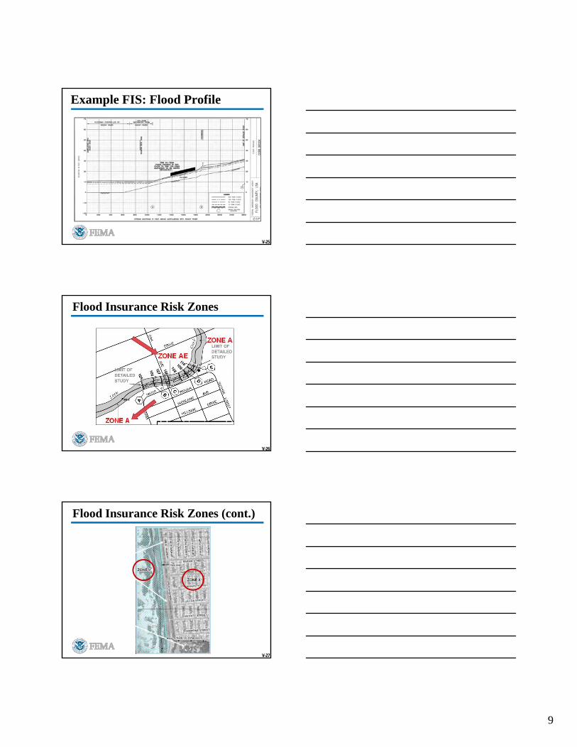
Reading Flood Maps
Base (100-year) Floodplain,
Zone AE
Channel
Floodway, crosshatched
Critical Action (500-year) Floodplain, shaded Zone X
V-24
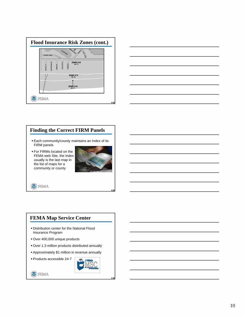
Example FIS: Table of Contents
9
V-25
Example FIS: Flood Profile
V-26
Flood Insurance Risk Zones
V-27
Flood Insurance Risk Zones (cont.)
10
V-28
Flood Insurance Risk Zones (cont.)
V-29
Finding the Correct FIRM Panels
Each community/county maintains an Index of its FIRM panels
For FIRMs located on the FEMA web Site, the Index usually is the last map in the list of maps for a community or county
V-30
FEMA Map Service Center
Distribution center for the National Flood Insurance Program
Over 400,000 unique products
Over 1.3 million products distributed annually
Approximately $1 million in revenue annually
Products accessible 24-7

11
V-31
Obtaining Flood Maps
Map Service Center (MSC)
1-800-358-9616
www.msc.fema.gov
V-32
Creating FIRMettes
www.msc.fema.gov
V-33
Making Wetland Determinations
12
V-34
Sources of Information
Consult U.S. Fish and Wildlife Service
Other Federal sources (e.g., USACE, EPA)
State agencies like Department of Natural Resources
Local agencies
V-35
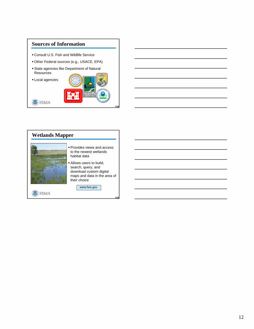
Wetlands Mapper
Provides views and access to the newest wetlands habitat data
Allows users to build, search, query, and download custom digital maps and data in the area of their choice
www.fws.gov
1
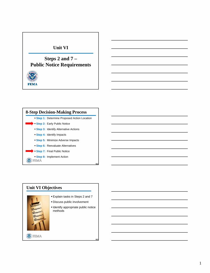
Unit VI
Steps 2 and 7 –Public Notice Requirements
VI-2
8-Step Decision-Making Process Step 1: Determine Proposed Action Location
Step 2: Early Public Notice
Step 3: Identify Alternative Actions
Step 4: Identify Impacts
Step 5: Minimize Adverse Impacts
Step 6: Reevaluate Alternatives
Step 7: Final Public Notice
Step 8: Implement Action
VI-3
Unit VI Objectives
Explain tasks in Steps 2 and 7
Discuss public involvement
Identify appropriate public notice methods
2
VI-4
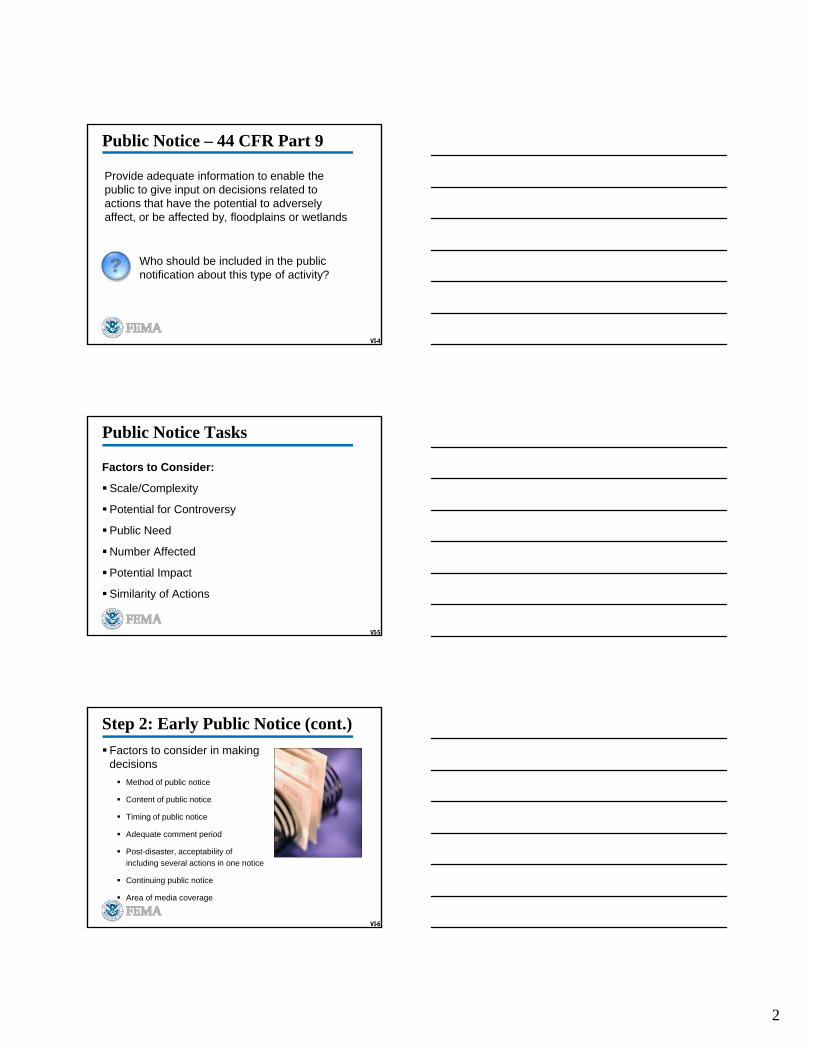
Public Notice – 44 CFR Part 9
Provide adequate information to enable the public to give input on decisions related to actions that have the potential to adversely affect, or be affected by, floodplains or wetlands
Who should be included in the public notification about this type of activity?
VI-5
Public Notice Tasks
Factors to Consider:
Scale/Complexity
Potential for Controversy
Public Need
Number Affected
Potential Impact
Similarity of Actions
VI-6
Step 2: Early Public Notice (cont.)
Factors to consider in making decisions
Method of public notice
Content of public notice
Timing of public notice
Adequate comment period
Post-disaster, acceptability of
including several actions in one notice
Continuing public notice
Area of media coverage
3
VI-7
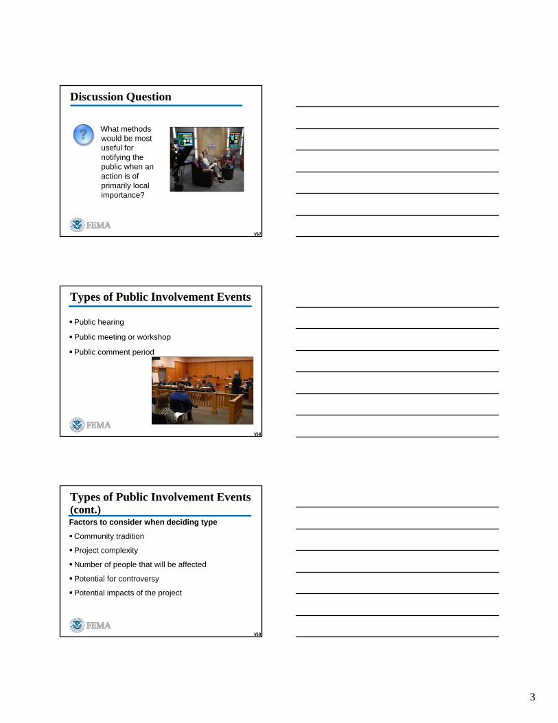
Discussion Question
What methods would be most useful for notifying the public when an action is of primarily local importance?
VI-8
Public hearing
Public meeting or workshop
Public comment period
Types of Public Involvement Events
VI-9
Factors to consider when deciding type
Community tradition
Project complexity
Number of people that will be affected
Potential for controversy
Potential impacts of the project
Types of Public Involvement Events (cont.)
4
VI-10
Discussion Question
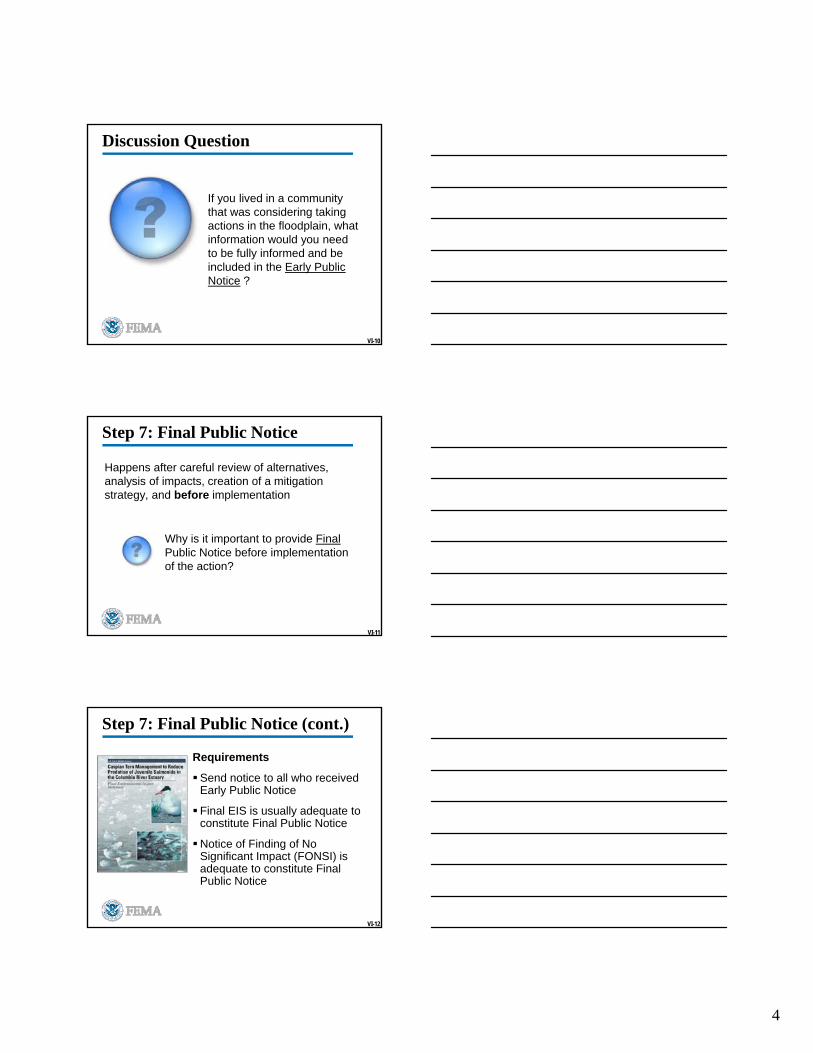
If you lived in a community that was considering taking actions in the floodplain, what information would you need to be fully informed and be included in the Early Public Notice ?
VI-11
Step 7: Final Public Notice
Happens after careful review of alternatives, analysis of impacts, creation of a mitigation strategy, and before implementation
Why is it important to provide FinalPublic Notice before implementation of the action?
VI-12
Step 7: Final Public Notice (cont.)
Requirements
Send notice to all who received Early Public Notice
Final EIS is usually adequate to constitute Final Public Notice
Notice of Finding of No Significant Impact (FONSI) is adequate to constitute Final Public Notice

5
VI-13
Step 7: Final Public Notice (cont.)
Requirements (cont.)
Factors to consider in making decisions
Content of public notice
Waiting period of at least 15 days
VI-14
Other Public Notice Tasks
Set Adequate Comment Period
Continue Public Notice
Issue Final Public Notice
VI-15
Addressing Public Comments
Acknowledge comments received
Make comments part of the public record
Establish a timeframe for receiving public comments
Keep a written record of public involvement events
Analyze impacts or alternatives suggested by the public

6
VI-16
Questions or Comments?
1
Unit VII
Step 3 – IdentifyAlternative Actions
VII-2
8-Step Decision-Making Process
Step 1 Determine Proposed Action Location
Step 2 Early Public Notice
Step 3 Identify Alternative Actions
Step 4 Identify Impacts
Step 5 Minimize Adverse Impacts
Step 6 Reevaluate Alternatives
Step 7 Final Public Notice
Step 8 Implement Action
VII-3
Unit VII Objectives
Explain the tasks involved in Step 3
Discuss considerations of alternative sites, alternative actions, and no action
Provide examples of factors to consider in evaluating alternative actions
Assess practicable alternatives in a hypothetical case example
2
VII-4
Discussion Question
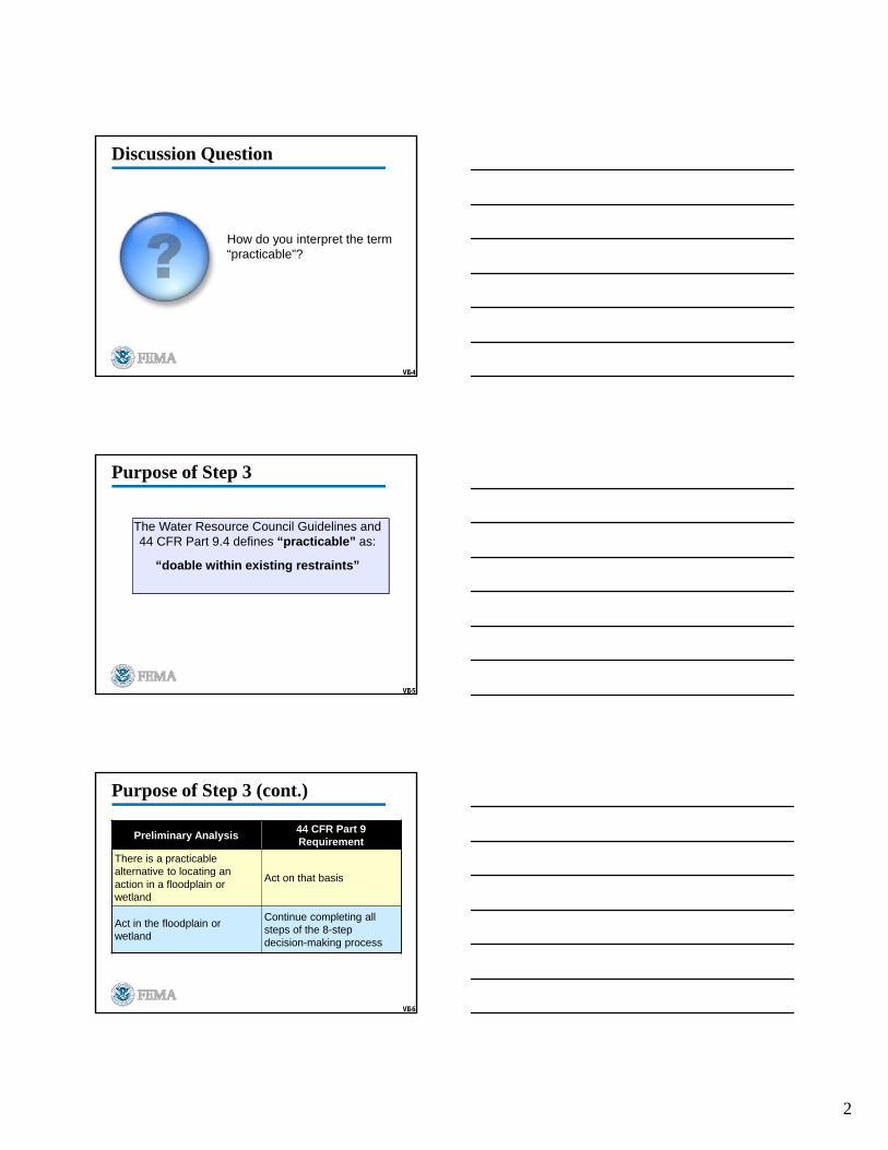
How do you interpret the term “practicable”?
VII-5
Purpose of Step 3
The Water Resource Council Guidelines and 44 CFR Part 9.4 defines “practicable” as:
“doable within existing restraints”
VII-6
Purpose of Step 3 (cont.)
Preliminary Analysis44 CFR Part 9 Requirement
There is a practicable alternative to locating an action in a floodplain or wetland
Act on that basis
Act in the floodplain or wetland
Continue completing all steps of the 8-step decision-making process
3
VII-7
Discussion Question
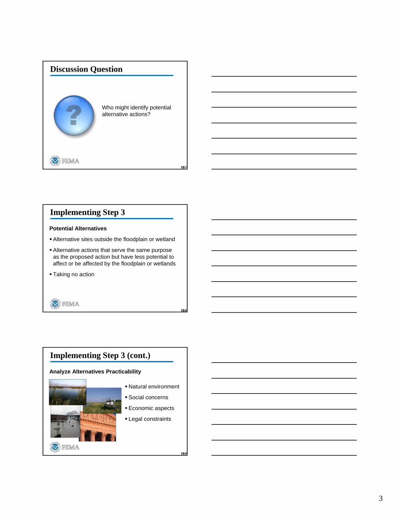
Who might identify potential alternative actions?
VII-8
Implementing Step 3
Potential Alternatives
Alternative sites outside the floodplain or wetland
Alternative actions that serve the same purpose as the proposed action but have less potential to affect or be affected by the floodplain or wetlands
Taking no action
VII-9
Implementing Step 3 (cont.)
Analyze Alternatives Practicability
Natural environment
Social concerns
Economic aspects
Legal constraints
4
VII-10
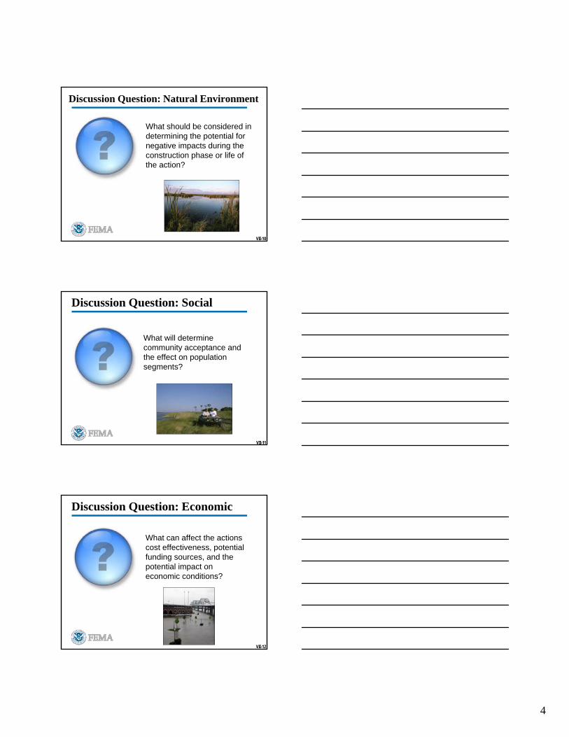
Discussion Question: Natural Environment
What should be considered in determining the potential for negative impacts during the construction phase or life of the action?
VII-11
Discussion Question: Social
What will determine community acceptance and the effect on population segments?
VII-12
Discussion Question: Economic
What can affect the actions cost effectiveness, potential funding sources, and the potential impact on economic conditions?
5
VII-13
Discussion Question:Legal
What may create potential for legal challenges?
IV-14
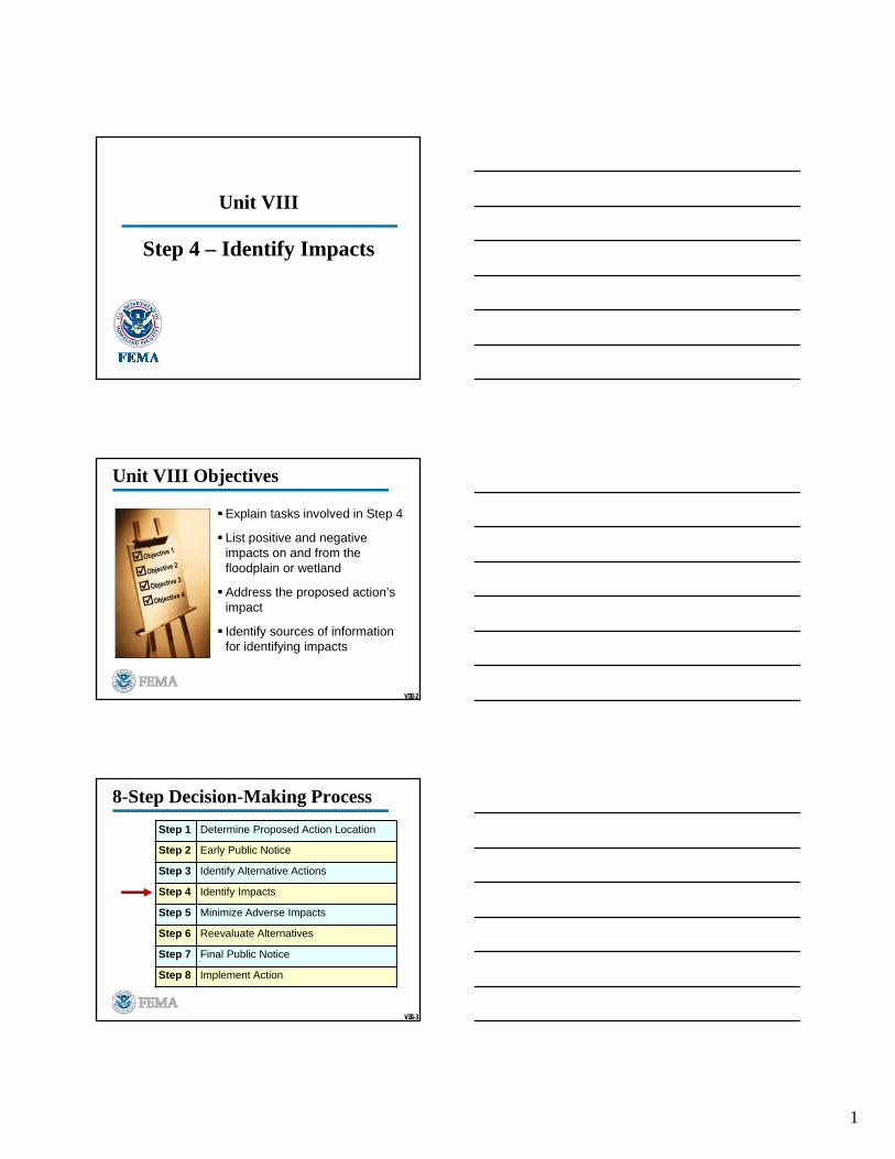
Check on Learning
Preliminary determination of the practicability of alternative actions
VII-15
Check on Learning
6
1
Unit VIII
Step 4 – Identify Impacts
VIII-2
Unit VIII Objectives
Explain tasks involved in Step 4
List positive and negative impacts on and from the floodplain or wetland
Address the proposed action’s impact
Identify sources of information for identifying impacts
VIII-3
8-Step Decision-Making Process
Step 1 Determine Proposed Action Location
Step 2 Early Public Notice
Step 3 Identify Alternative Actions
Step 4 Identify Impacts
Step 5 Minimize Adverse Impacts
Step 6 Reevaluate Alternatives
Step 7 Final Public Notice
Step 8 Implement Action
2
VIII-4
Discussion Question
Why is it important to identify impacts?
VIII-5
Step 4 – Identify Impacts
Will the Proposed Action:
Increase the structure/facilities useful life
Maintain the investment at risk and exposures of lives to flood hazards
Forego opportunities to restore floodplains/wetlands natural and beneficial values
VIII-6
Types of Impacts
Positive and negative
Direct and indirect
Concentrated and dispersed
Cumulative
Short- and long-term
3
VIII-7
Implementing Step 4
Consider and Evaluate
Impacts associated with floodplains/wetlands modifications
Impacts when actions support subsequent actions that additionally impact floodplains/wetlands
Adverse impacts of proposed actions
Factors related to flood hazard, natural values, and survival/quality of wetlands
VIII-8
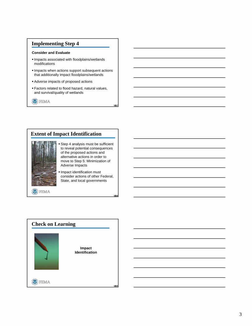
Extent of Impact Identification
Step 4 analysis must be sufficient to reveal potential consequences of the proposed actions and alternative actions in order to move to Step 5: Minimization of Adverse Impacts
Impact identification must consider actions of other Federal, State, and local governments
VIII-9
Check on Learning
Impact Identification
4
VIII-10
Impact Identification Proposed Action #1:
Replace a damaged sewage treatment plant on a populated barrier island
Proposed Action #2:
Repair a section of a levee that has been damaged by flooding
Proposed Action #3:
Develop a (temporary housing) mobile home group site in the floodplain
Proposed Action #4:
Rebuild a destroyed firehouse that is in a country which is 95% SFHA
VIII-11
Questions or Comments?

1
Unit IX
Step 5 –Minimize Adverse Impacts
IX-2
8-Step Decision-Making Process
Step 1 Determine Proposed Action Location
Step 2 Early Public Notice
Step 3 Identify Alternative Actions
Step 4 Identify Impacts
Step 5 Minimize Adverse Impacts
Step 6 Reevaluate Alternatives
Step 7 Final Public Notice
Step 8 Implement Action
IX-3
Unit IX Objectives
Explain the tasks involved in Step 5
Identify and describe minimum standards
Explain general requirements and specific minimization standards
Describe measures to minimize harm to and within the floodplain and wetlands
2
IX-4
Discussion Question
How do you differentiate between the terms minimizeand mitigate?
IX-5
44 CFR Part 9.11
FEMA shall minimize:
Potential harm to lives and investment at risk from base flood or 500-year flood
Potential adverse impacts on others
Potential adverse impacts to floodplain and wetland values
IX-6
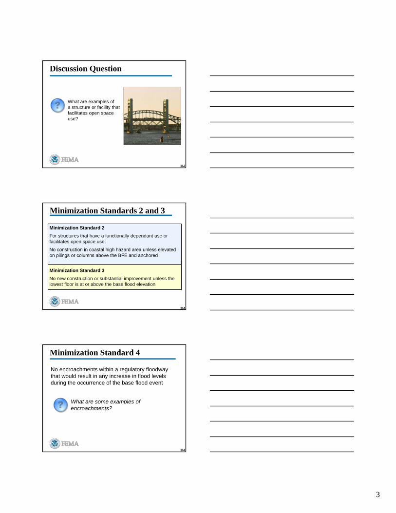
No new construction or substantial improvement in a floodway, and no new construction in coastal high hazard areas except for:
Minimization Standard 1
Functionally dependent use
Structure or facility that facilitates open space use
3
IX-7
Discussion Question
What are examples of a structure or facility that facilitates open space use?
IX-8
Minimization Standards 2 and 3
Minimization Standard 2
For structures that have a functionally dependant use or facilitates open space use:
No construction in coastal high hazard area unless elevated on pilings or columns above the BFE and anchored
Minimization Standard 3
No new construction or substantial improvement unless the lowest floor is at or above the base flood elevation
IX-9
Minimization Standard 4
No encroachments within a regulatory floodway that would result in any increase in flood levels during the occurrence of the base flood event
What are some examples of encroachments?
4
IX-10
Minimization Standards 5 and 6
Minimization Standard 5
Functionally dependent use or facilitates open space use, allowed in floodway or coastal high hazard area only if:
- Site is only practicable alternative
- Harm to and within floodplain or wetland is minimized
Minimization Standard 6
No action may be taken if inconsistent with the NFIP or any more restrictive floodplain laws, regulations, or ordinances
IX-11
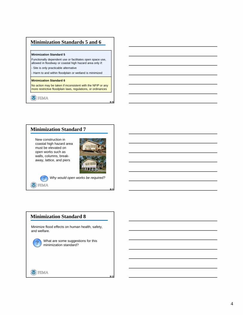
Minimization Standard 7
New construction in coastal high hazard area must be elevated on open works such as walls, columns, break-away, lattice, and piers
Why would open works be required?
IX-12
Minimization Standard 8
Minimize flood effects on human health, safety, and welfare.
What are some suggestions for this minimization standard?
5
IX-13
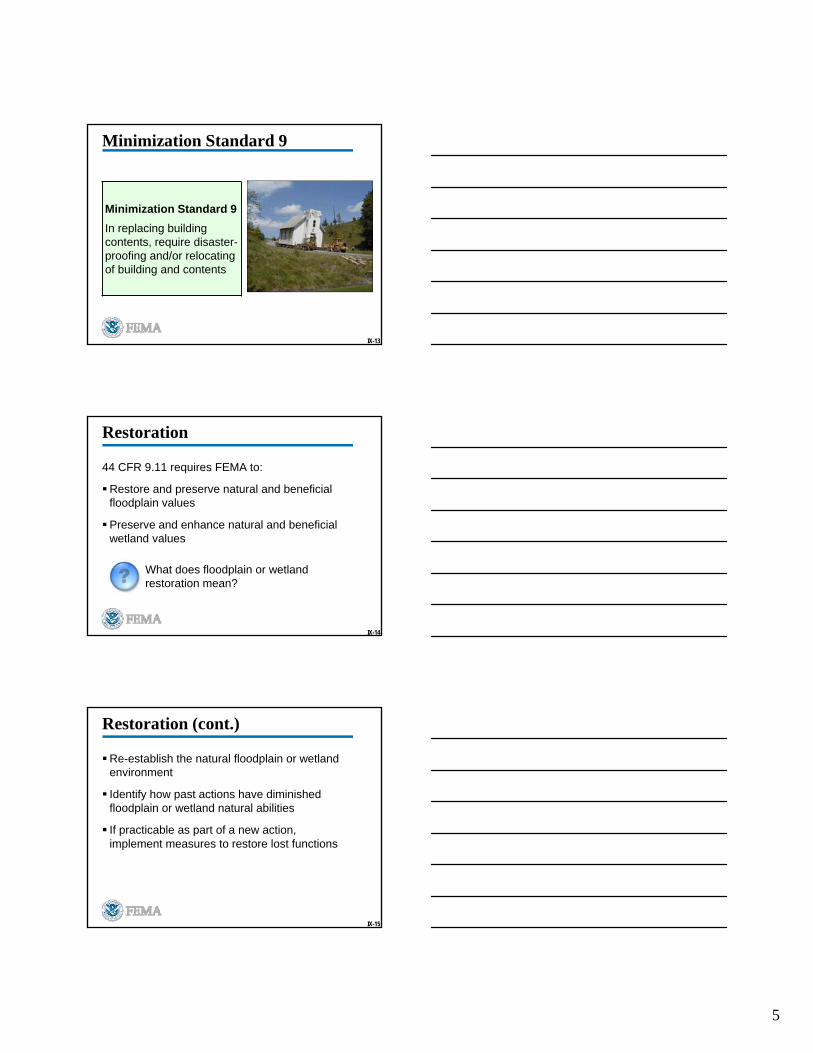
Minimization Standard 9
Minimization Standard 9
In replacing building contents, require disaster-proofing and/or relocating of building and contents
IX-14
Restoration
44 CFR 9.11 requires FEMA to:
Restore and preserve natural and beneficial floodplain values
Preserve and enhance natural and beneficial wetland values
What does floodplain or wetland restoration mean?
IX-15
Restoration (cont.)
Re-establish the natural floodplain or wetland environment
Identify how past actions have diminished floodplain or wetland natural abilities
If practicable as part of a new action, implement measures to restore lost functions
6
V-16
Discussion Question
How do we “preserve” the floodplain or wetlands?
IX-17
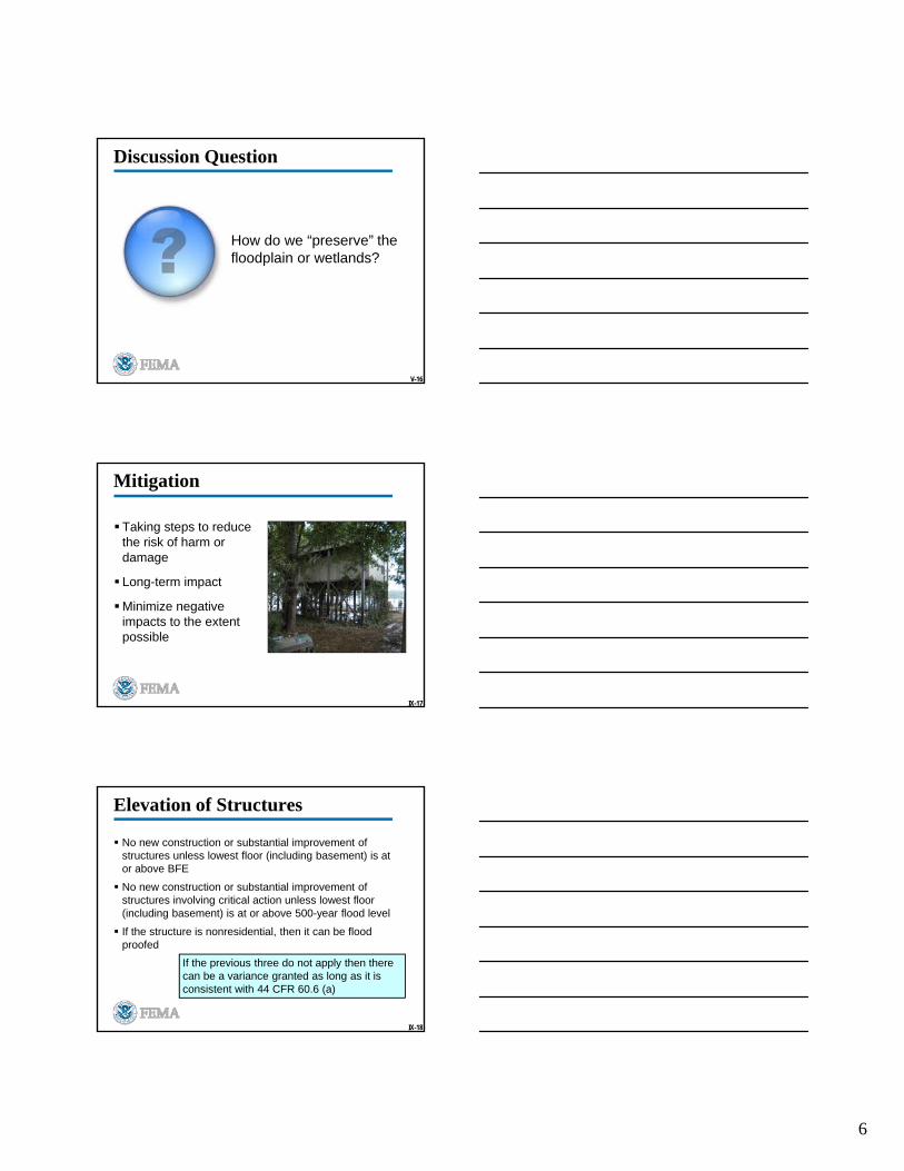
Mitigation
Taking steps to reduce the risk of harm or damage
Long-term impact
Minimize negative impacts to the extent possible
IX-18
Elevation of Structures
No new construction or substantial improvement of structures unless lowest floor (including basement) is at or above BFE
No new construction or substantial improvement of structures involving critical action unless lowest floor (including basement) is at or above 500-year flood level
If the structure is nonresidential, then it can be flood proofed
If the previous three do not apply then there can be a variance granted as long as it is consistent with 44 CFR 60.6 (a)
7
IX-19
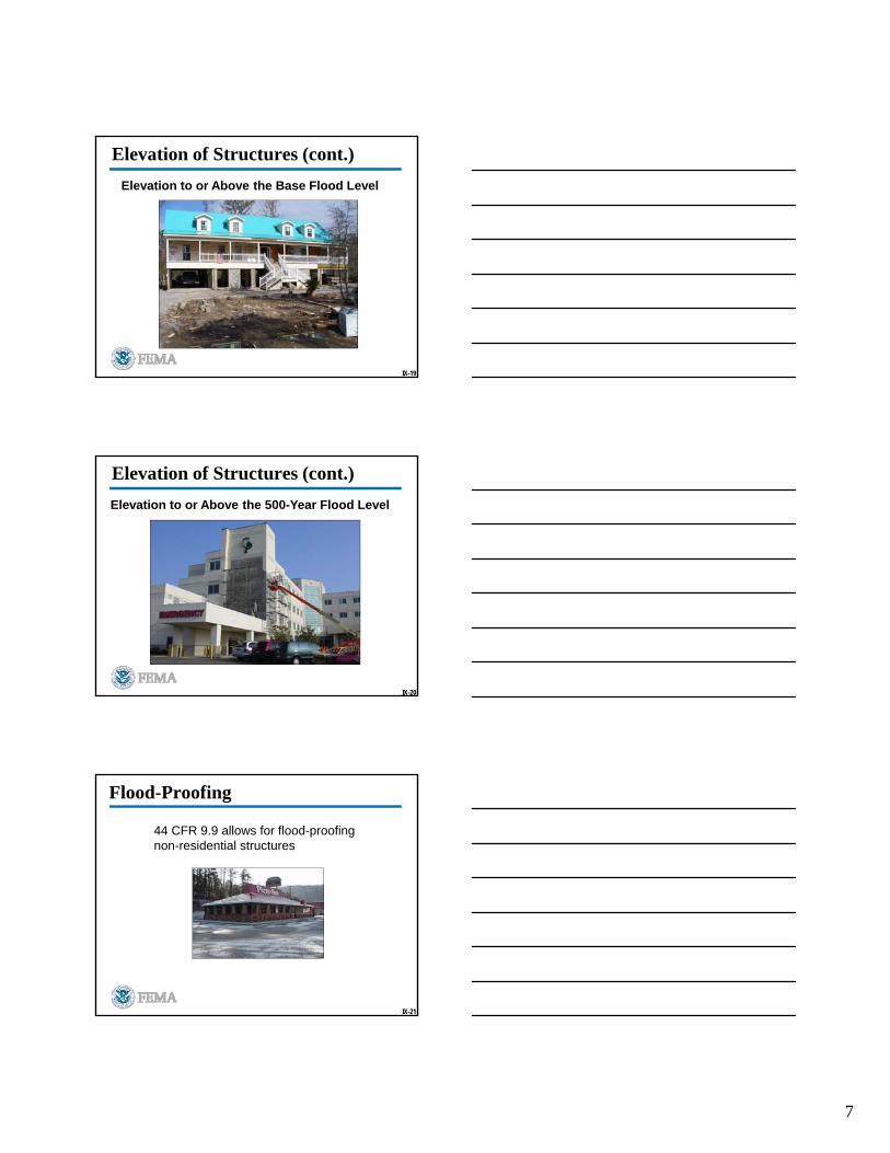
Elevation of Structures (cont.)
Elevation to or Above the Base Flood Level
IX-20
Elevation of Structures (cont.)
Elevation to or Above the 500-Year Flood Level
IX-21
Flood-Proofing
44 CFR 9.9 allows for flood-proofing non-residential structures
8
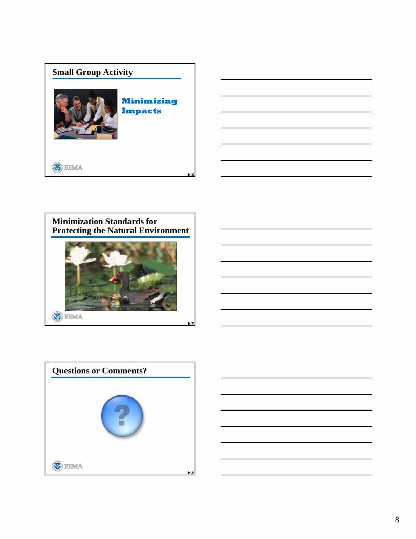
Small Group Activity
Minimizing Impacts
IX-22
IX-23
Minimization Standards for Protecting the Natural Environment
IX-24
Questions or Comments?
1
Unit X
Step 6 –Reevaluate Alternatives
X-2
8-Step Decision-Making Process Step 1: Determine Proposed Action Location
Step 2: Early Public Notice
Step 3: Identify Alternative Actions
Step 4: Identify Impacts
Step 5: Minimize Adverse Impacts
Step 6: Reevaluate Alternatives
Step 7: Final Public Notice
Step 8: Implement Action
X-3
Unit X Objectives
Explain the tasks involved in Step 6
Identify factors to consider in reevaluating the proposed action
Identify differences between Step 3 and Step 6
Apply Step 6 to the Case Study
2
X-4
Step 6 – Reevaluate Alternatives
Having determined the proposed action’s impact in Step 4
Having identified measures necessary to comply with minimization in Step 5
ASK: Are alternatives, whether tentatively accepted or rejected as part of Step 3, practicable based on Steps 4 and 5?
X-5
Step 6 – Reevaluate Alternatives
Determine:
Is it still practicable despite exposure to flood risk and disruption of natural functions?
Can it be limited to increase practicability of alternatives preliminarily rejected?
Can minimization be achieved?
X-6
No Action in Floodplain
Avoid support of floodplain development
Reduce the risk of flood loss
Minimize the impact of floods on humans
Restore and preserve floodplain functions

3
X-7
No Action in Wetland
Avoid destruction or modification of wetlands
Avoid support of new construction in wetlands
Minimize destruction, loss or degradation of wetlands
Preserve and enhance natural functions of wetlands
X-8
44 CFR Part 9.9
No Action Alternative
Weigh the practicability of the floodplain or wetland action against the no action alternative
To be a practicable location, the importance of the action must outweigh requirements of EOs 11988 and 11990
X-9
When to say No

4
How many homes impacted?
Unit XIII
Course Review and Conclusion
IV-12
8-Step Decision-Making Process
Step 1 Determine Proposed Action Location
Step 2 Early Public Notice
Step 3 Identify Alternative Actions
Step 4 Identify Impacts
Step 5 Minimize Adverse Impacts
Step 6 Reevaluate Alternatives
Step 7 Final Public Notice
Step 8 Implement Action
5
13
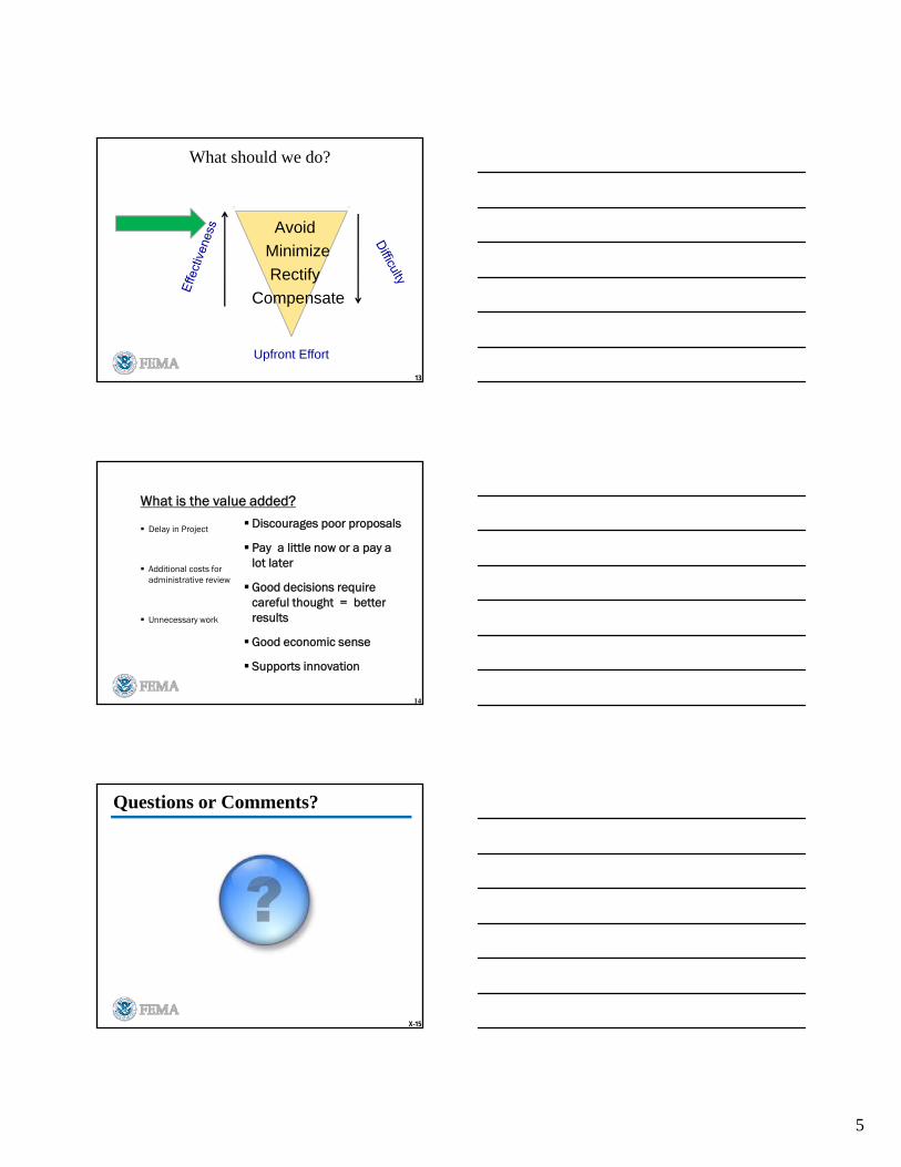
What should we do?
Avoid
Minimize
Rectify
Compensate
Upfront Effort
What is the value added?
Delay in Project
Additional costs for administrative review
Unnecessary work
Discourages poor proposals
Pay a little now or a pay a lot later
Good decisions require careful thought = better results
Good economic sense
Supports innovation
14
X-15
Questions or Comments?

6