Embed Size (px)
Citation preview
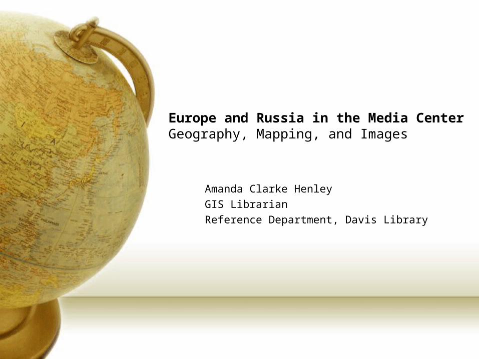
Europe and Russia in the Media CenterGeography, Mapping, and Images
Amanda Clarke HenleyGIS LibrarianReference Department, Davis Library
Today’s Presentation
• Online Cartographic Resources
• Virtual Globes
• Google Earth• Tour• Hyperlinks• Image Overlays• Instructions and Resources
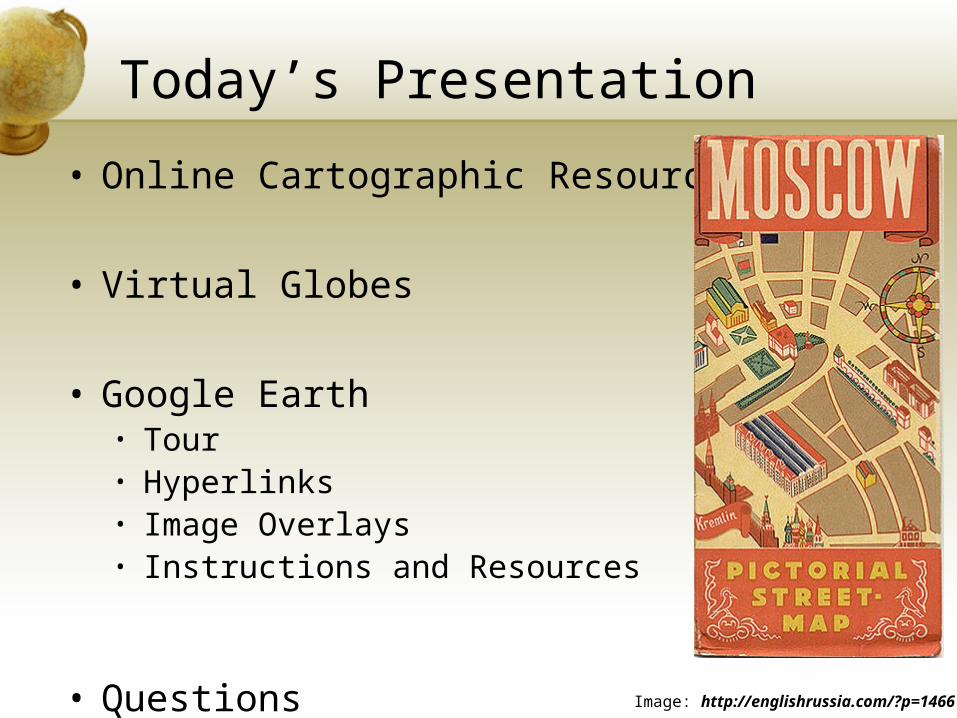
• QuestionsImage: http://englishrussia.com/?p=1466
Cartographic Resources• Perry-Castañeda Library Map Collection (UT Arlington)
• Very large collection of digital maps• http://www.lib.utexas.edu/maps/
• David Rumsey Historical Map Collection• http://www.davidrumsey.com• Over 13,600 maps online• Focus: rare 18/19th century N and S America• Historic World maps• Europe, Asia, and Africa
• Map History Gateway • Retired Map Librarian, British Library, London• Annotated links to many, sites with online maps• http://www.maphistory.info/index.html
• National Geographic and ESRI Map Machine:• Interactive atlashttp://plasma.nationalgeographic.com/mapmachine/index.html
• United Nations Cartographic Section• Good source for recent maps, not all countries are listed• http://www.un.org/Depts/Cartographic/english/htmain.htm
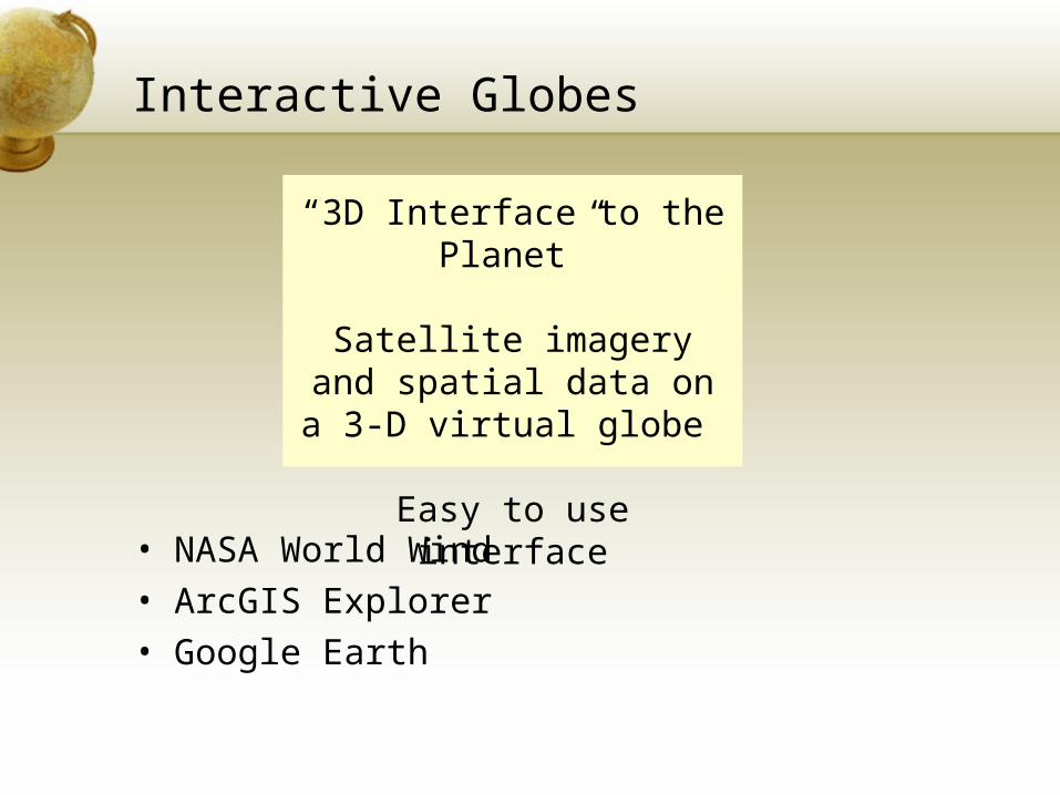
Interactive Globes
• NASA World Wind• ArcGIS Explorer• Google Earth
“3D Interface to the Planet”
Satellite imagery and spatial data on a 3-D virtual globe
Easy to use interface
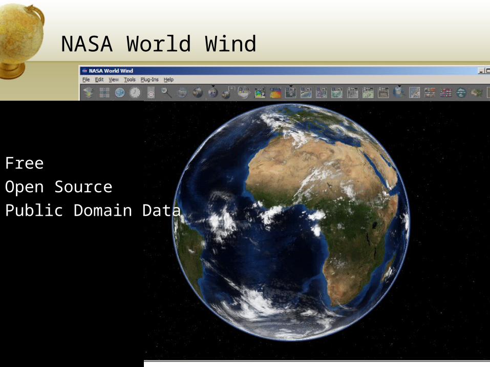
NASA World Wind
Free Open Source Public Domain Data
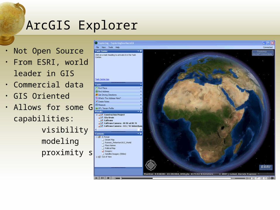
• Not Open Source• From ESRI, world
leader in GIS• Commercial data• GIS Oriented• Allows for some GIS
capabilities:visibilitymodelingproximity search
ArcGIS Explorer
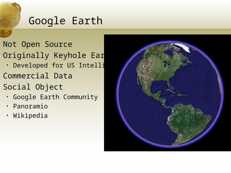
Google Earth
• Not Open Source• Originally Keyhole Earth
• Developed for US Intelligence
• Commercial Data• Social Object
• Google Earth Community• Panoramio• Wikipedia
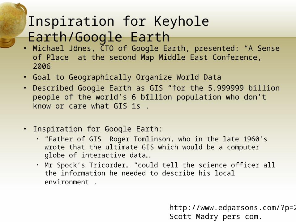
Inspiration for Keyhole Earth/Google Earth
• Michael Jones, CTO of Google Earth, presented: “A Sense of Place” at the second Map Middle East Conference, 2006
• Goal to Geographically Organize World Data• Described Google Earth as GIS “for the 5.999999 billion
people of the world’s 6 billion population who don’t know or care what GIS is”.
• Inspiration for Google Earth:• “Father of GIS” Roger Tomlinson, who in the late 1960’s wrote
that the ultimate GIS which would be a computer globe of interactive data…
• Mr Spock’s Tricorder… “could tell the science officer all the information he needed to describe his local environment”.
http://www.edparsons.com/?p=203Scott Madry pers com.
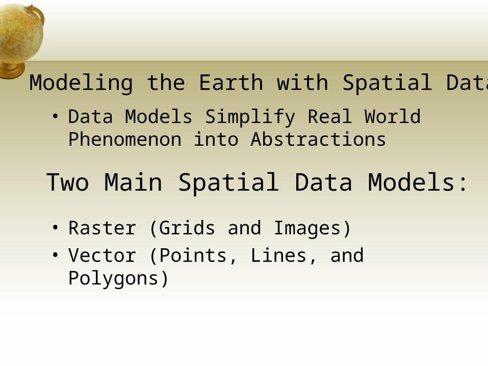
• Data Models Simplify Real World Phenomenon into Abstractions
• Raster (Grids and Images)• Vector (Points, Lines, and Polygons)
Modeling the Earth with Spatial Data
Two Main Spatial Data Models:
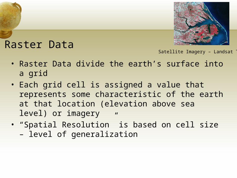
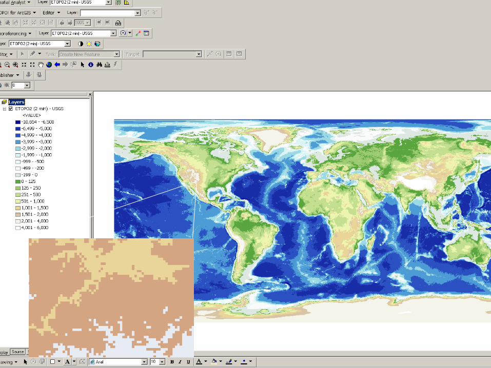
Raster Data
• Raster Data divide the earth’s surface into a grid• Each grid cell is assigned a value that represents
some characteristic of the earth at that location (elevation above sea level) or imagery
• “Spatial Resolution” is based on cell size – level of generalization
Satellite Imagery – Landsat TM
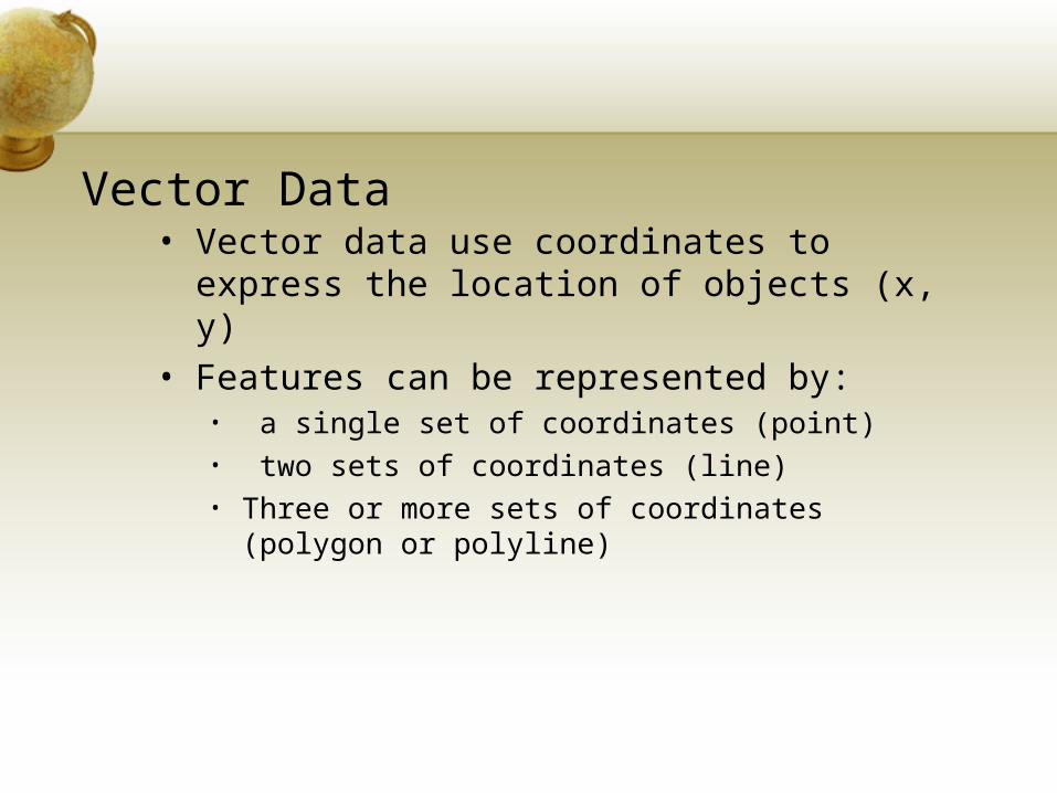
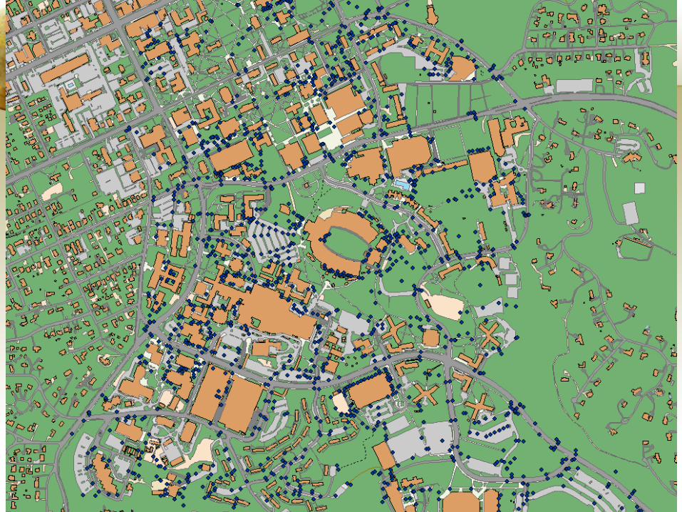
Vector Data• Vector data use coordinates to express the
location of objects (x, y) • Features can be represented by:
• a single set of coordinates (point)• two sets of coordinates (line)• Three or more sets of coordinates (polygon or
polyline)
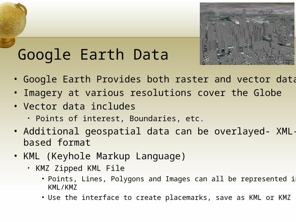
Google Earth Data
• Google Earth Provides both raster and vector data• Imagery at various resolutions cover the Globe• Vector data includes
• Points of interest, Boundaries, etc.
• Additional geospatial data can be overlayed- XML-based format
• KML (Keyhole Markup Language)• KMZ Zipped KML File
• Points, Lines, Polygons and Images can all be represented in KML/KMZ
• Use the interface to create placemarks, save as KML or KMZ
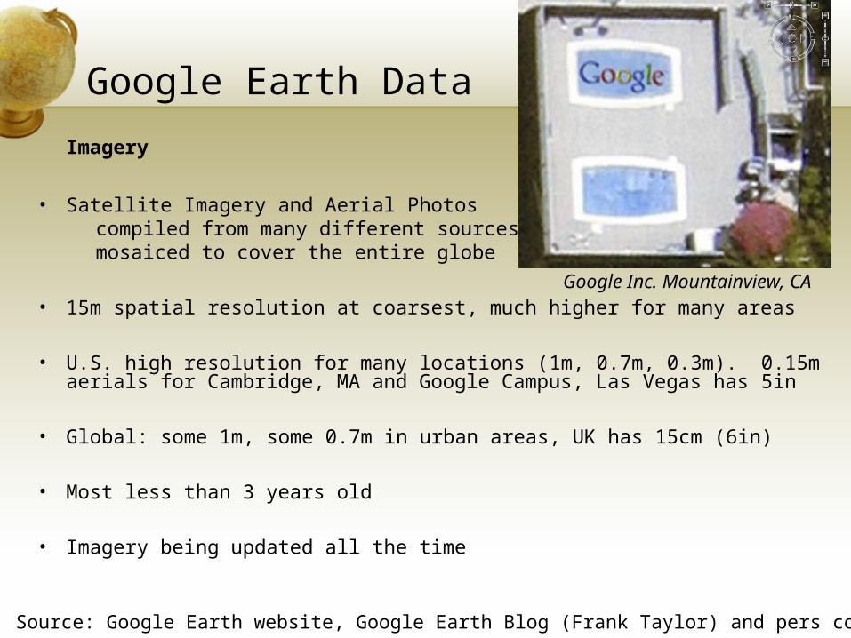
Google Earth Data
Imagery
• Satellite Imagery and Aerial Photos compiled from many different sources, mosaiced to cover the entire globe
• 15m spatial resolution at coarsest, much higher for many areas
• U.S. high resolution for many locations (1m, 0.7m, 0.3m). 0.15m aerials for Cambridge, MA and Google Campus, Las Vegas has 5in
• Global: some 1m, some 0.7m in urban areas, UK has 15cm (6in)
• Most less than 3 years old
• Imagery being updated all the time
Source: Google Earth website, Google Earth Blog (Frank Taylor) and pers comm, Scott Madry
Google Inc. Mountainview, CA
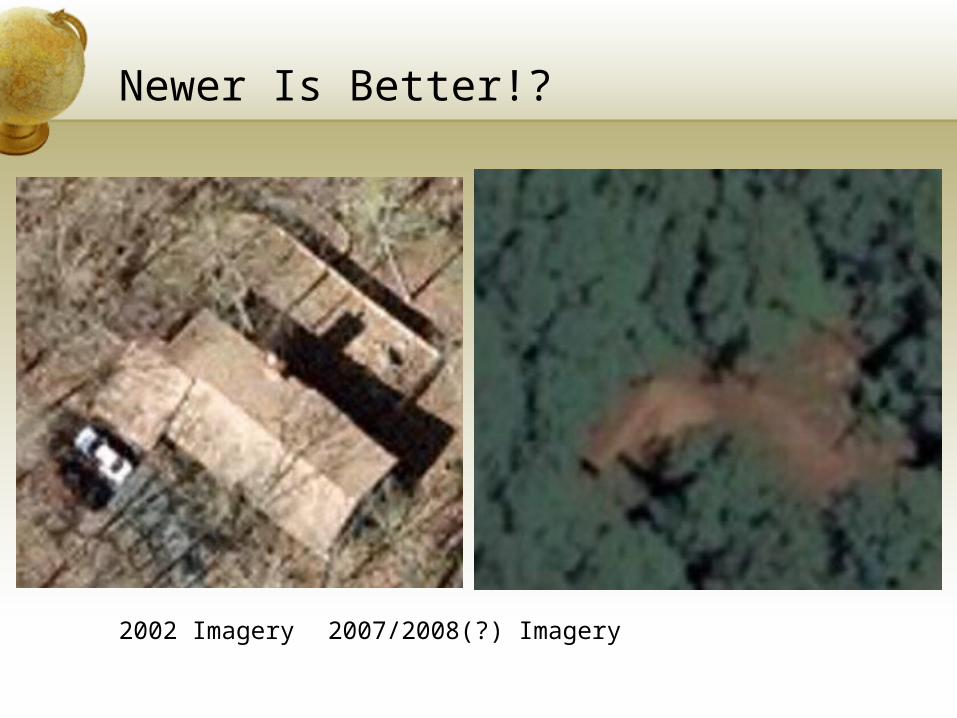
Newer Is Better!?
2002 Imagery 2007/2008(?) Imagery
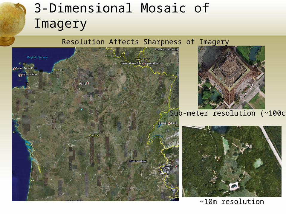
3-Dimensional Mosaic of Imagery
~10m resolution
Sub-meter resolution (~100cm)
Resolution Affects Sharpness of Imagery
Metadata Would Be Nice
• Instead, we get:• Google Earth Image Coverage:• http://earth.google.com/data.html• List of Cities with available high-resolution data:• http://earth.google.com/coverage/coverage_list.pdf• Image Dates, Images are from “sometime in the last
three years” …“And because the imagery comes from a variety of sources, and is mosaic-ed together, it is difficult for us to specify the date of a city or region (a single city may have imagery taken from different months).”
• Source: http://earth.google.com/images_dates.html
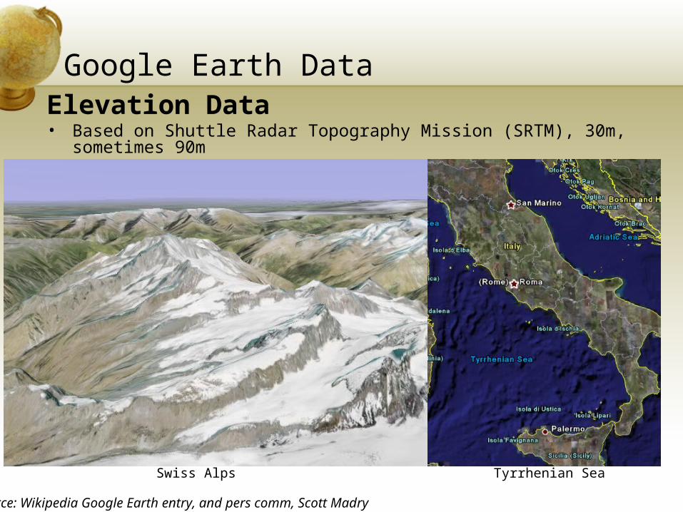
Google Earth DataElevation Data• Based on Shuttle Radar Topography Mission (SRTM), 30m,
sometimes 90m• No Bathymetry data (seabed is a graphic)
Source: Wikipedia Google Earth entry, and pers comm, Scott Madry
Swiss Alps Tyrrhenian Sea
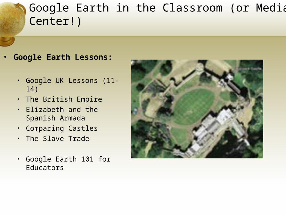
Google Earth in the Classroom (or Media Center!)
• Google Earth Lessons:
• Google UK Lessons (11-14) • The British Empire• Elizabeth and the Spanish
Armada• Comparing Castles• The Slave Trade
• Google Earth 101 for Educators
Thank You.