Embed Size (px)
Citation preview
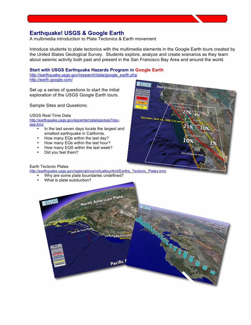
Earthquake! USGS & Google Earth A multimedia introduction to Plate Tectonics & Earth movement
Introduce students to plate tectonics with the multimedia elements in the Google Earth tours created by
the United States Geological Survey. Students explore, analyze and create scenarios as they learn
about seismic activity both past and present in the San Francisco Bay Area and around the world.
Start with USGS Earthquake Hazards Program in Google Earth http://earthquake.usgs.gov/research/data/google_earth.php http://earth.google.com/
Set up a series of questions to start the initial exploration of the USGS Google Earth tours.
Sample Sites and Questions: USGS Real Time Data http://earthquake.usgs.gov/eqcenter/catalogs/eqs7day-age.kmz
• In the last seven days locate the largest and smallest earthquake in California.
• How many EQs within the last day? • How many EQs within the last hour? • How many EQS within the last week? • Did you feel them?
Earth Tectonic Plates http://earthquake.usgs.gov/regional/nca/virtualtour/kml/Earths_Tectonic_Plates.kmz
• Why are some plate boundaries undefined? • What is plate subduction?
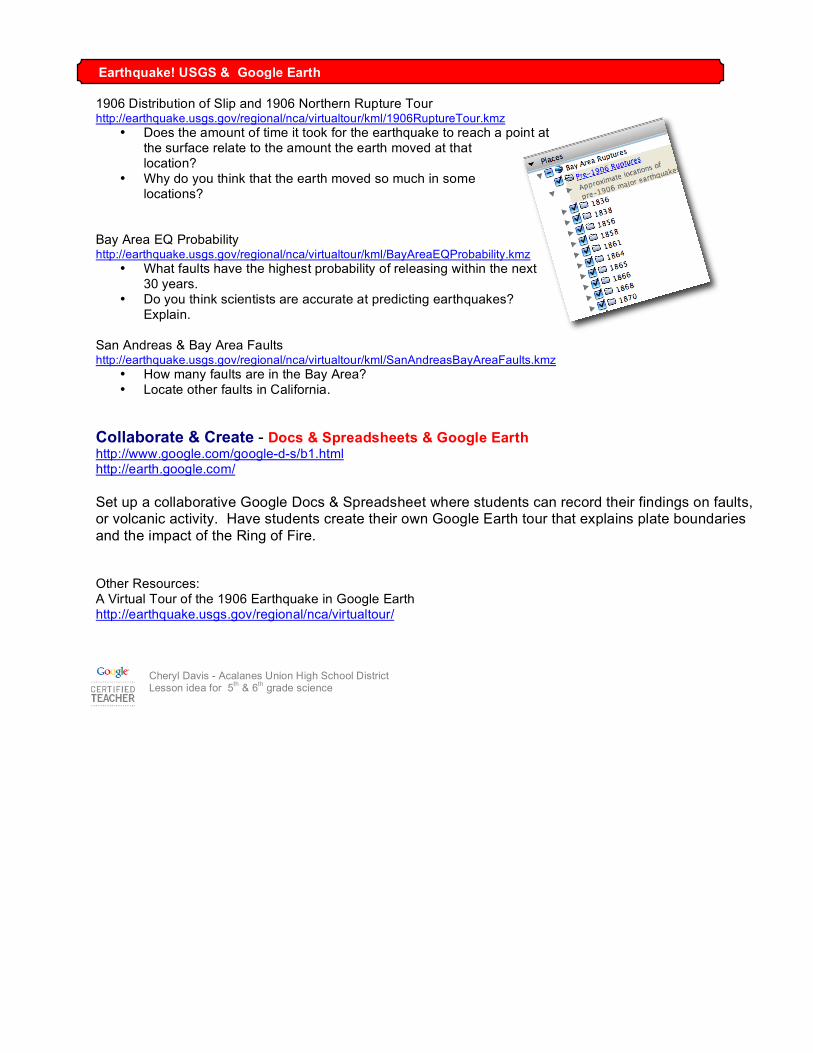
1906 Distribution of Slip and 1906 Northern Rupture Tour http://earthquake.usgs.gov/regional/nca/virtualtour/kml/1906RuptureTour.kmz
• Does the amount of time it took for the earthquake to reach a point at the surface relate to the amount the earth moved at that location?
• Why do you think that the earth moved so much in some locations?
Bay Area EQ Probability http://earthquake.usgs.gov/regional/nca/virtualtour/kml/BayAreaEQProbability.kmz
• What faults have the highest probability of releasing within the next 30 years.
• Do you think scientists are accurate at predicting earthquakes? Explain.
San Andreas & Bay Area Faults http://earthquake.usgs.gov/regional/nca/virtualtour/kml/SanAndreasBayAreaFaults.kmz
• How many faults are in the Bay Area? • Locate other faults in California.
Collaborate & Create - Docs & Spreadsheets & Google Earth http://www.google.com/google-d-s/b1.html http://earth.google.com/
Set up a collaborative Google Docs & Spreadsheet where students can record their findings on faults, or volcanic activity. Have students create their own Google Earth tour that explains plate boundaries
and the impact of the Ring of Fire.
Other Resources: A Virtual Tour of the 1906 Earthquake in Google Earth http://earthquake.usgs.gov/regional/nca/virtualtour/
Cheryl Davis - Acalanes Union High School District Lesson idea for 5
th & 6
th grade science
Earthquake! USGS & Google Earth