Embed Size (px)
Citation preview
Direct Point Positioning Surveys
For State of Alaska Patents
Michael Schoder, BLM Alaska Chief Cadastral Surveyor
CACFA Meeting – January 29, 2016
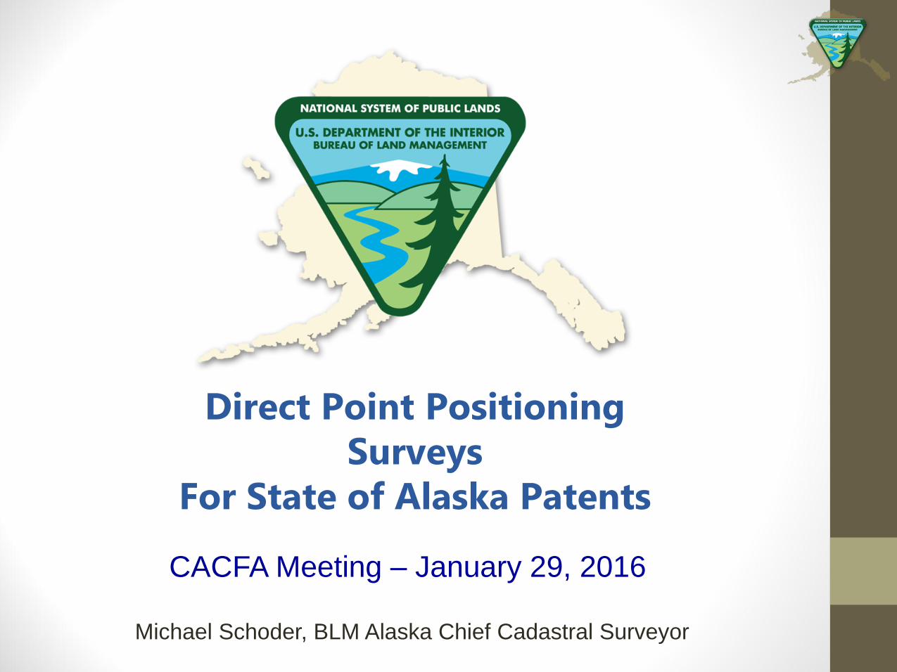
Comparison of the Statutory Language
Statehood Act
“…..the Secretary of the Interior shall survey the exterior
boundaries of the area requested without any interior
subdivision thereof and shall issue a patent for such selected
area in terms of the exterior boundary survey”
vs.
ANCSA
“The Secretary…..shall monument only exterior boundaries of the
selected or designated areas at angle points and at intervals of
approximately two miles of straight lines.”
2
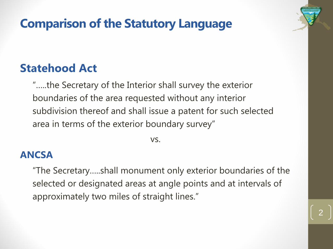
• Set monuments
approx. every two
miles on all
township lines
• Produce a plat with
no sections or
section corner
coordinates
“Status Quo” Method of Survey and Platting
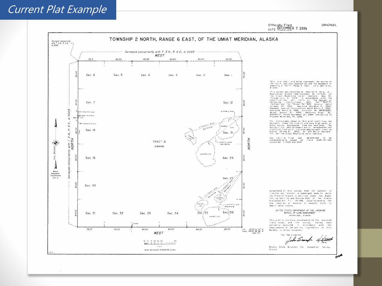
Current Plat Example
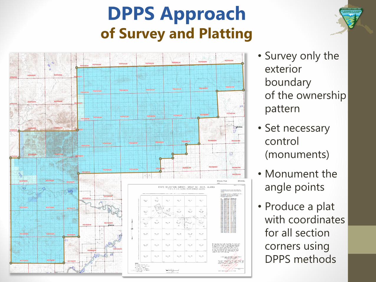
• Survey only the
exterior
boundary
of the ownership
pattern
• Set necessary
control
(monuments)
• Monument the
angle points
• Produce a plat
with coordinates
for all section
corners using
DPPS methods
DPPS Approach of Survey and Platting
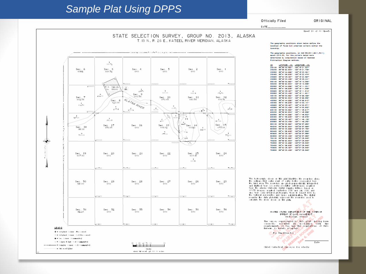
Sample Plat Using DPPS
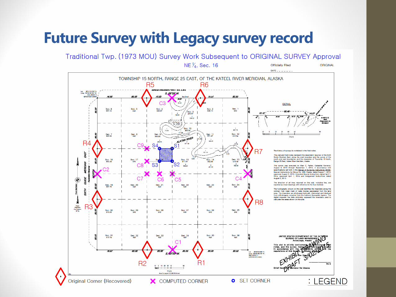
Future Survey with Legacy survey record
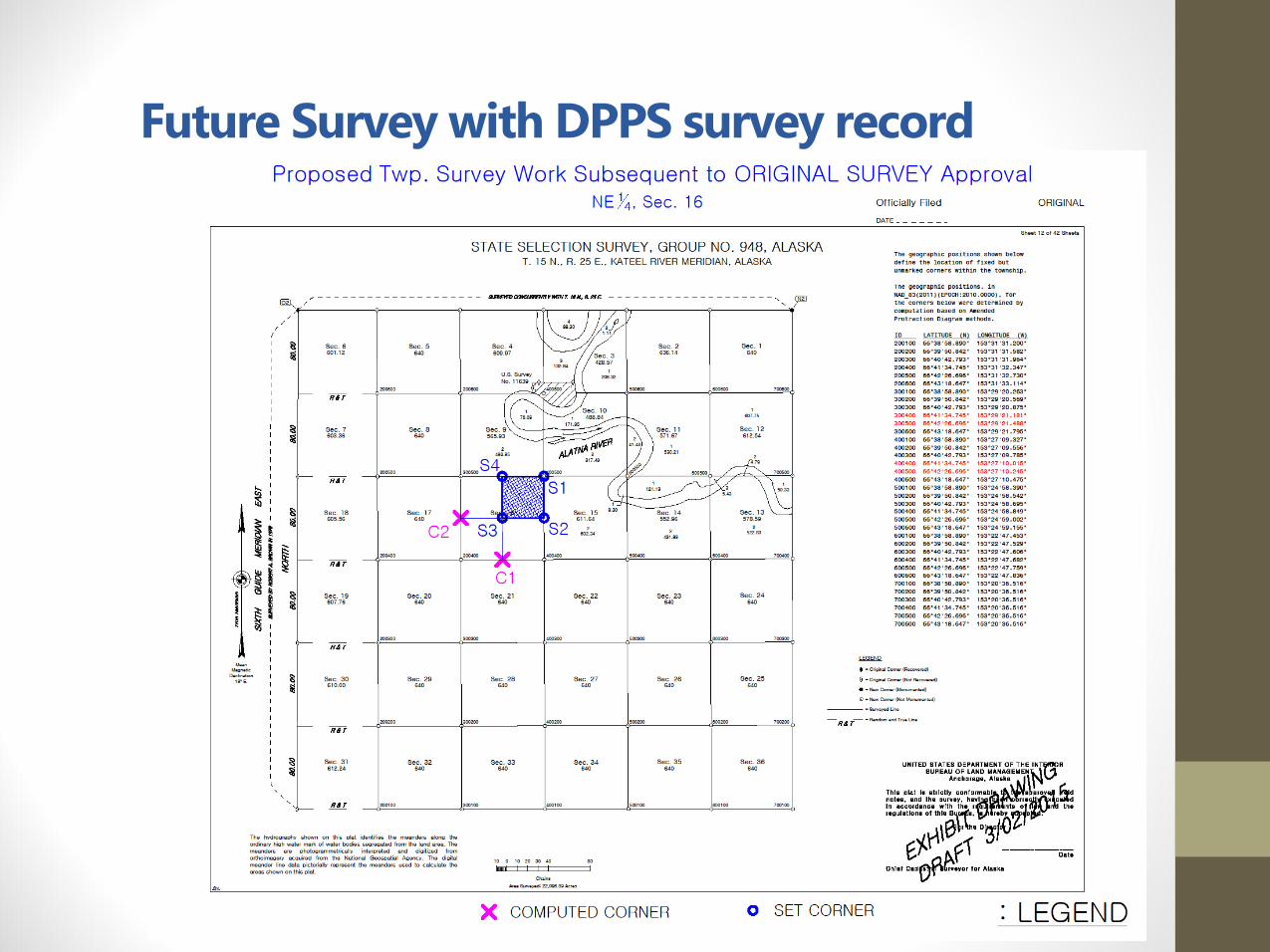
Future Survey with DPPS survey record
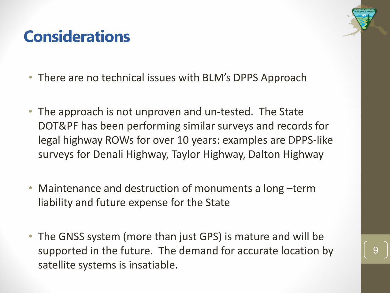
Considerations
• There are no technical issues with BLM’s DPPS Approach
• The approach is not unproven and un-tested. The State DOT&PF has been performing similar surveys and records for legal highway ROWs for over 10 years: examples are DPPS-like surveys for Denali Highway, Taylor Highway, Dalton Highway
• Maintenance and destruction of monuments a long –term liability and future expense for the State
• The GNSS system (more than just GPS) is mature and will be supported in the future. The demand for accurate location by satellite systems is insatiable.
9
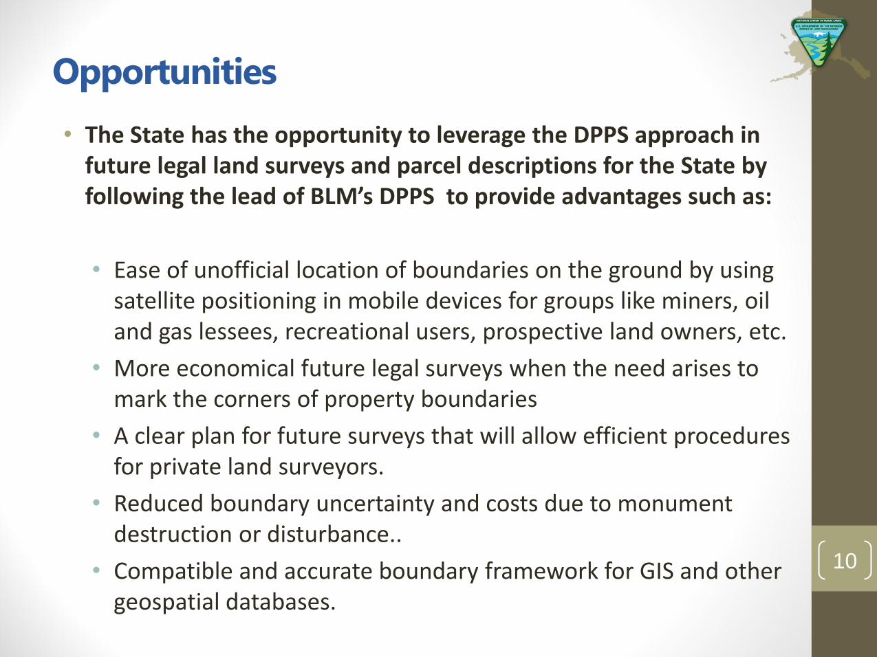
Opportunities
• The State has the opportunity to leverage the DPPS approach in future legal land surveys and parcel descriptions for the State by following the lead of BLM’s DPPS to provide advantages such as:
• Ease of unofficial location of boundaries on the ground by using satellite positioning in mobile devices for groups like miners, oil and gas lessees, recreational users, prospective land owners, etc.
• More economical future legal surveys when the need arises to mark the corners of property boundaries
• A clear plan for future surveys that will allow efficient procedures for private land surveyors.
• Reduced boundary uncertainty and costs due to monument destruction or disturbance..
• Compatible and accurate boundary framework for GIS and other geospatial databases.
10
Quotes from Governor Walker’s 2016 State of the State address closing
• We must take Bold Steps
• We the people can create solutions
• We are all in the same boat.
• We have the guts to take ahold of the wheel with 2 strong hands
• We need to put aside the politics of usual
• We must pull Alaska into the prosperous and sustainable future
11
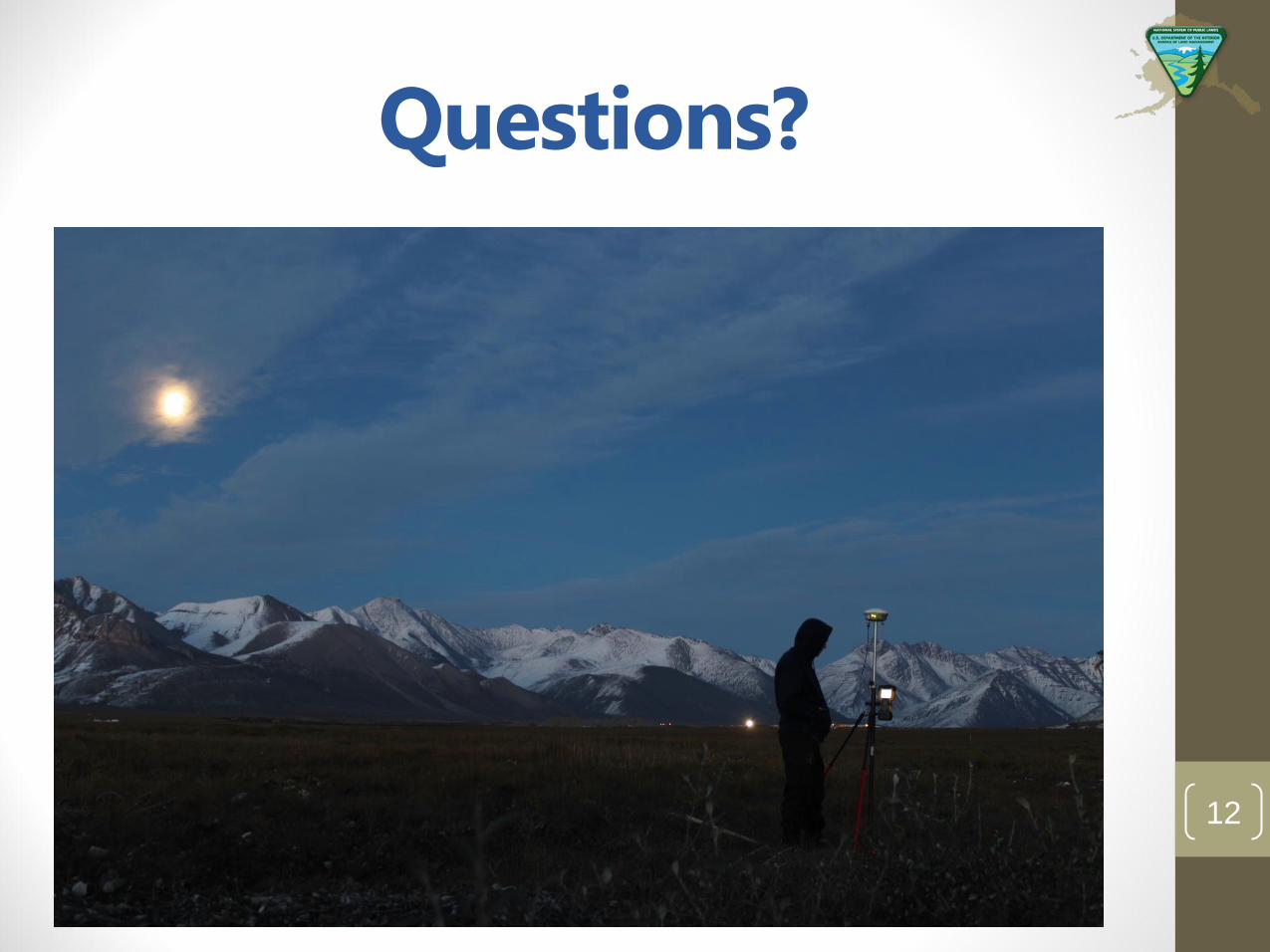
Questions?
12