Embed Size (px)
Citation preview

1
Lecture 19: Waves
Porto Covo, Portugal, photo by Joaquim Alves Gaspar, Creative Commons A S-A 2.5,http://en.wikipedia.org/wiki/File:PortoCovoJan07-4.jpg
Introduction to Oceanography Midterm 2: November 20 (Monday)
Breaking wave and sea foam, Vero Beach, FL, Robert Lawton, Creative Commons A S-A 2.5,http://commons.wikimedia.org/wiki/File:Sea_foam.JPG
Review session: Friday, Nov. 17, 4:00-5:00pm in Franz 1260.
Extra credit video screening: Monday, Nov. 20, 4:00-5:00pm in Royce 190.
Water Mass Classifications
• Deep Waters:
– North Atlantic Deep Water (NADW)
• Vertical mixing & incorporation of salty N.
Atlantic waters near Greenland
• Bottom Waters:
– Antarctic Bottom Water (AABW)
• Forms dominantly in Weddell Sea in
regions of active sea ice formation
(polynyas)
• Cold, saline sinking water
• Densest water mass in the oceans
Deep Water Formation
Figure from Matthew England, Climate Change Research Centre (CCRC) University of New South Wales, http://web.maths.unsw.edu.au/~matthew/southern_ocean_variability.htm
Deep currents
– sinking of
dense water
near the poles
Atlantic Deep Circulation
MIW
North Atlantic
Deep Water
Antarctic Intermediate
Water
Antarctic
Bottom
Water
MIW – Mediterranean Intermediate Water
UCAR/NOAA/NASA, Public Domain, http://www.meted.ucar.edu/tropical/met_topics/media/graphics/moc_atlantic_salinity.jpg
0 0 0 0 0 0
Pacific
UCAR/NOAA/NASA figure,Public Domain, http://www.meted.ucar.edu/oceans/currents/media/graphics/pacific_salinity_section.jpg

2
Global deep water ‘conveyor’
Robert Simmon/Robert Rohde, NASA/Wikimedia, Public Domain, http://en.wikipedia.org/wiki/File:Thermohaline_Circulation_2.png QUESTIONS?
Hannes Grobe, Wikimedia Commons, Creative Commons A S-A 2.5, http://upload.wikimedia.org/wikipedia/commons/2/2c/Antarctic_bottom_water_hg.png
Waves
Hurricane wavemaker, Hinsdale Wave Research Laboratory, Oregon State University, http://oregonstate.edu/media/twvwz-hiq
Excellent vintage 1960’s fluid dynamics movies: National Committee for Fluid Mechanics Films http://web.mit.edu/hml/ncfmf.html Waves
• Traveling disturbances of the water column
• Waves move but there is little or no net transport of
the water
– If you put dye in the water, a wave can pass through and the
dye will basically remain in place
• Most familiar are wind waves - produced on the ocean
surface by effects of time-varying winds
Animation courtesy Dr. Dan Russell, Kettering
University, http://paws.kettering.edu/~drussell/Demos/waves
/wavemotion.html
The Anatomy of a Wave
Remember These!Adapted from figure by Kraaiennest, Wikimedia Commons, Creative Commons A S-A 3.0,
http://commons.wikimedia.org/wiki/File:Sine_wave_amplitude.svg
The Dynamics of a Wave
Wave
Frequency –
number of crests
per second
Wave Speed –
rate crests move
(meters/second)
Wave Period –
time between
crests
Period, frequency, speed and wavelength are related!Period = 1/frequency
Speed = wavelength / period = wavelength x frequency
Animation courtesy Dr. Dan Russell, Kettering
University, http://paws.kettering.edu/~d
russell/Demos/wave-x-t/wave-x-t.html

3
Oscillation: Water depth matters
Waves behave differently
in “deep” water than
they do in “shallow”
water
Deep Water Waves:
depth > 1/2 length:
ocean bottom does not
affect wave
Shallow Water Waves:
depth < 1/20 length:
ocean bottom
strongly affects
waveAnimations by Kraaiennest, Wikimedia Commons, Creative Commons A
S-A 3.0, http://commons.wikimedia.org/wiki/File:Deep_water_wave.gifand http://commons.wikimedia.org/wiki/File:Shallow_water_wave.gif
Deep vs. Shallow Water Waves
• Wave Speed: Speed = WaveLength/period
• Deep Water Waves (depth > L/2):
– S increases with wavelength, L• Wave Dispersion: at large distances, storm waves
get sorted by wavelength
– longest wavelength waves lead the pack
€
S ≈1.25 L Only works when L is in meters.
Deep vs. Shallow Water Waves
• Wave Speed: S = wavelength/period
• Shallow Water Waves (depth < L/20):
– Speed (S) increases with water depth (d)
€
S = gd ≈ 3.1 d
QUESTIONS
Ocean wind waves (swell), New Zealand, Phillip Capper, Creative Commons A 2.0,
http://en.wikipedia.org/wiki/File:Easterly_swell,_Lyttelton_Harbour,_29_July_2008.jpg
Ocean Waves• Wind waves: Driven by wind• Seiches: Basin-scale oscillation, driven by large-scale pressure
changes
• Tsunamis: Seismic sea waves, driven by earthquakes, volcanic eruptions or underwaterlandslides
• Tides: Planetary-scale waves driven by gravitational pull of sun & moon
Tidal Bore, Arnold Price, Creative Commons A S-A 2.0, http://www.geograph.org.uk/photo/324581
Wave energy in the ocean
Ocean wave classification and “power”
Tides: Powerful, but only 1-2 per day
Tsunami: Also powerful, but rarer still
Wind: Less potent individually, but common everywhere
Schematic figure derived from Kinsman, 1965, Wind
Waves: Their Generation and Propagation on the Ocean Surface. Prentice-Hall, Inc., Englewood Cliffs,
New Jersey, 1965, p. 23, http://co-ops.nos.noaa.gov/images/powrspec.gif

4
Deep vs. Shallow Water Waves
WAVE TYPE Deep vs. Shallow
Wind Wave Deep
Tsunami Shallow
Tides Shallow
QUESTIONS
Wind ripples, Lifjord, Norway, Karl Laurits Olsen, Creative Commons A S-A 3.0, http://commons.wikimedia.org/wiki/File:Ripples_Lifjord.jpg
Wind-Driven Ocean Waves
Initial wave excitation by slowly (2 m/s) blowing wind. Waves Research Laboratory, Tel-Aviv University, Israel. http://www.eng.tau.ac.il/research/laboratories/waves/index.htm
Wind-Driven Ocean Waves
Tammy Pelletier, WSU Dept of Ecology, http://www.vos.noaa.gov/MWL/apr_06/waves.shtml
Wind wave size increases with speed, distance,
and duration of wind…
Wind-Driven Ocean Waves• Maximum wave size/speed depends on:
– Fetch: distance over which the wind blows to generate waves
– Duration: Length of time the wind blows across the fetch
– Wind Speed: Difference between wave speed & wind speed
– Long fetch, long duration, high wind speed = BIG wavesFully-Developed Seas: seas reach maximum size for given fetch & wind
(long duration)
Wind sea, N. Pacific, Winter 1989, M/V NOBLE STAR/NOAA, Public Domain
Figure from Comet Progam/UCAR, approved for educational use,
http://www.meted.ucar.edu/marine/mod2_wlc_gen/print.htm
Wind-Seas and Swells:Wind Sea: wind & storm create and grow new waves
Choppy waves with whitecapsWind sea, N. Pacific, Winter 1989, M/V NOBLE
STAR/NOAA, Public Domaing

5
Swell: waves that have left their birthplace
Sorted by dispersion (longest move fastest)
Smooth, rounded waves with consistent wavelengths
Ocean wind waves (swell), New Zealand, Phillip Capper, Creative Commons A 2.0, http://en.wikipedia.org/wiki/File:Easterly_swell,_Lyttelton_Harbour,_29_July_2008.jpg
Questions
NASA/JPL, Public Domain, http://www.meted.ucar.edu/EUMETSAT/jason/media/graphics/tp_wind_wave_janjun1995.jpg
Breaking Waves
Teahupoo, Tahiti, Photo by Duncan Rawlinson, Creative Commons A 2.0 Generic, http://thelastminuteblog.com/photos/album/72157603098986701/photo/1973927918/teahupoo-surfing-november-
2-2007-
Waves can’t transport energy as efficiently in shallow water
aokomoriuta, Wikimedia Commons, Creative Commons A S-A 3.0, http://commons.wikimedia.org/wiki/File:Breaking_wave_in_wavemaker.ogv
When Do Waves Break?
Waves start to break when:
– The angle between front & backside of wave < 120 degrees
– This occurs when Height > 1/7 Wavelength
– Typically when Height ~3/4 water Depth
R. Nave, http://hyperphysics.phy-astr.gsu.edu/hbase/waves/imgwav/trochoidpair.gif
Why Do Waves Break at the Shore?
s = 1.25(L)1/2 s = 3.1(d)1/2
Public domain figure, http://en.wikipedia.org/wiki/File:Shallowater.jpg

6
Why Do Waves Break at the Shore?• What happens to waves at the coastline to make them
break?
– They interact with the ocean bottom– Crests travel faster than troughs (S = [gd]1/2)
– As the crest catches up with the trough ahead of it, the wave
“breaks”
i.e., crest overtakes the leading trough, the wave steepens and then
breaks
Public domain figure, http://en.wikipedia.org/wiki/File:Shallow
ater.jpg
Why Do Waves Break at the Shore?
• Deep water to shallow water transition: Wave Shoaling
• Analogy: Try sprinting from asphalt into mud
– You will tend to fall over!
Public domain figure,
http://en.wikipedia.org/wi
ki/File:Shallowater.jpg
Plunging breaker, Boat wake, Malene Thyssen, Wikimedia Commons, Creative Commons A S-A 3.0, http://commons.wikimedia.org/wiki/File:Boelge_stor.jpg
QUESTIONS Tsunami
• From Japanese: http://www.rffc.org/kanji-names.htm
• English synonym: Tidal wave, even though they are
*NOT* caused by tides -- confusion resulting from long period?
• Origin: Seismic sea waves, driven by earthquakes,
volcanic eruptions or underwater landslides
tsu -- port, harbor
nami -- wave
UNESCO/NOAA map. Public Domain, http://itic.ioc-unesco.org/images/stories/awareness_and_education/map_posters/tsu_poster_web_20140808.jpg
Most occur along Ring of Fire. Why?
Dec. 26, 2004Banda Aceh
Mar. 11, 2011Tohoku
Animations from Miho Aoki MFA, an artist at UA Fairbanks http://ffden-2.phys.uaf.edu/645fall2003_web.dir/elena_suleimani
Indian/Australian PlateEurasian Plate
Banda Aceh

7
The Banda Aceh Tsunami
Banda Aceh, Indonesia
Phuket, Thailand
Sri Lanka
India/Asia Plate Boundary(convergent)
Animation from Steven Ward, IGPP/UC Santa
Cruz, http://es.ucsc.edu/~ward/
Detecting tsunami in the open ocean:
• Created by a large earthquake
and traveling 100’s of km/hr,
tsunami have such long
wavelengths and periods that
they would normally be too
small & gradual to notice in the
open ocean.
• By chance, the
TOPEX/Poseidon and Jason-1
satellites passed over the
Indian Ocean just after the
earthquake.
• They were able to detect and
measure the tsunami on its
way across the Indian Ocean.
NASA image, Public Domain, http://topex-www.jpl.nasa.gov/newsroom/features/images/jason-1-topex-calib.jpg
TOPEX/Poseidon and Tsunami
Wave height: 1.1 meters!
Figures based on NASA/NOAA data, image originally located at
http://www.aviso.oceanobs.com/html/applications/geophysique/tsunami_uk.html, now redirected to http://www.aviso.oceanobs.com/en/applications/g
eodesy-and-geophysics/tsunamis/index.html
How does a tsunami cause harm?• In the open ocean the tsunami was only 1 meter high. This is about
waist deep. The wave period is minutes: up-and-down motion was too slow to feel at sea.
• Tsunami are rarely destructive at sea, “The Poseidon Adventure”
notwithstanding.
• Danger comes from run-up and breaking of tsunami at shoreline.
Illustration by Veit Mueller, Wikimedia Commons, Creative Commons A S-A 3.0,
http://en.wikipedia.org/wiki/File:Tsunami-kueste.01.vm.jpg
Tsunami waves come to shore
Wind waves, with wavelengths up to ~100 meters, extend to ~50 m depth, have periods of seconds.
Tsunami have wavelengths > 100 km, always extend to seafloor.In shallow water energy becomes concentrated between bottom and
surface. Wave height increases up to 10x.Decreasing wave speed leads to decreasing wavelength, further
concentrating energy.Long period of waves (~10 minutes) means crest can push inland for a
great distance before receding.
Illustration by Veit Mueller, Wikimedia Commons, Creative Commons A S-A 3.0,
http://en.wikipedia.org/wiki/File:Tsunami-kueste.01.vm.jpg
Tsunami waves come to shore
Animations from Miho Aoki MFA, an artist at UA Fairbanks http://ffden-2.phys.uaf.edu/645fall2003_web.dir/elena_suleimani
8
• Far from seismic origin, first indication is often drawing out of water.
Tsunami waves come to shore
Kalutara Beach, Sri Lanka
Images Quickbird/DigitalGlobe, http://homepage.mac.com/demark/tsunami/
Tsunami waves
come to shore
Several wave-sets may follow, compounding
damage.Gleebruk, Sumatra, Indonesia
DigitalGlobe/QuickBird images, http://earthobservatory.nasa.gov/NaturalHazards/vi
ew.php?id=14418
Tsunami waves
come to shore
Several wave-sets may follow, compounding
damage.
Banda Aceh
DigitalGlobe/QuickBird images, http://earthobservatory.nasa.gov/NaturalHazards/v
iew.php?id=14402
Northwest Sumatra, Indonesia
Near-quake
tsunami run-
up, Tohoku
Japan
Figure by Pekachu from Tohoku earthquake tsunami Joint
Research Group data. Wikimedia Commons, Creative Commons A-S A 3.0 Unported,
http://commons.wikimedia.org/wiki/File:2011_Tohoku_tsunami_height_by_Joint_Research_Grou
p_2012-03-01.png
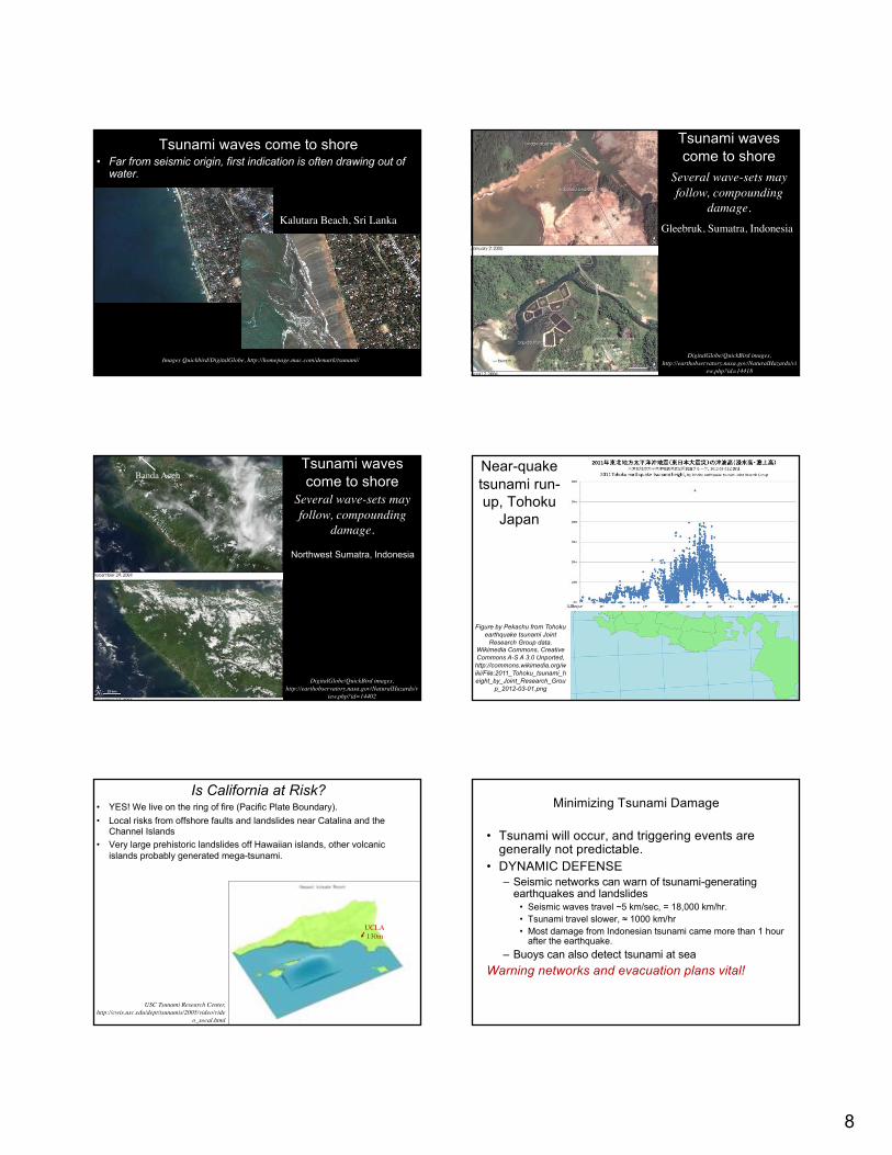
Is California at Risk?• YES! We live on the ring of fire (Pacific Plate Boundary).
• Local risks from offshore faults and landslides near Catalina and the
Channel Islands
• Very large prehistoric landslides off Hawaiian islands, other volcanic
islands probably generated mega-tsunami.
USC Tsunami Research Center, http://cwis.usc.edu/dept/tsunamis/2005/video/vide
o_socal.html
UCLA130m
Minimizing Tsunami Damage
• Tsunami will occur, and triggering events are
generally not predictable.
• DYNAMIC DEFENSE
– Seismic networks can warn of tsunami-generating
earthquakes and landslides
• Seismic waves travel ~5 km/sec, = 18,000 km/hr.
• Tsunami travel slower, ≈ 1000 km/hr
• Most damage from Indonesian tsunami came more than 1 hour
after the earthquake.
– Buoys can also detect tsunami at sea
Warning networks and evacuation plans vital!

9
Preventing Tsunami Damage
• Triggering events are generally not predictable,
but damage patterns are.
• STATIC DEFENSE
– Training vulnerable populations to heed warnings
• Earthquake shaking
• Anomalous, sudden “low tides”
– Preserving natural buffers
• Reefs, barriers islands, mangrove swamps & estuaries dilute
impact of waves.