Embed Size (px)
Citation preview

Connect with Curriculum through
Geocaching
Mary Beth HengelbrokEducational Technology
IntegratorIU #5

Today’s Agenda
WelcomeGeo What?
Talk the TalkLatitude and Longitude
Getting StartedAdditional Resources

Geo What?
High- tech treasure huntFind the treasure using latitude and longitudeGPS device needed

Image from: www.groundspeak.com
http://www.pdxgeocaching.com/dave/dave.htm
video clip of first geocache, or click on picture to watch
(Need DivX codex to watch video)
Dave with original stash tribute plaque
Founder of the First Geocache
Dave Ulmer

How does GPS Work?• The (GPS) is actually a constellation of 27 Earth-
orbiting satellites (24 in operation and three extras in case one fails). The U.S. military developed this satellite network as a military navigation system, but soon opened it up to everybody else.
• Each of these 3,000- to 4,000-pound solar-powered satellites circles the globe at about 12,000 miles (19,300 km), making two complete rotations every day. The orbits are arranged so that at any time, anywhere on Earth, there are at least four satellites "visible" in the sky.

(click on image to watch video)
Video found at Discovery EducationNASA and Discovery Education. (2008).NASA at 50: 1994: GPS Satellite Constellation Completed [Full Video]. Available from http://www.discoveryeducation.com/

Talk the Talk
Geocache- Hidden containerGPS= Global Positioning SystemWaypoint – Reference point for a physical locationMuggle – a Non-geocacherCITO – Cache In Trash OutTFYC – Thanks For The CacheDNF – Did Not Findhttp://www.geocaching.com/about/glossary/
aspx#geocache

What is a Geocache?
Hidden container – owner recorded the GPS locationSmallest – Contains a logbookLarger – Logbook plus trade itemsWhat am I Looking for?

Dr. Alice Christie's Podcast
http://www.alicechristie.org/geocaching/podcast/index.html
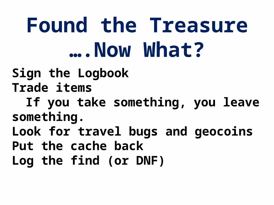
Found the Treasure….Now What?
Sign the LogbookTrade items
If you take something, you leave something.Look for travel bugs and geocoinsPut the cache backLog the find (or DNF)

Travel Bugs

GeocoinsCollectable and tradable items

Let’s Get StartedCreate an account at http://www.geocaching.comSearch
Try searching by your zip code firstRecord latitude and longitude.
Review the hints!Follow the compass until you get to 0 -15 feet.Use your “geosense” to find the treasure.What am I looking for?

Caches Around Edinboro, PA


Five Steps to Get Your Classroom Geocaching
1. Create a Standard Geocaching Kit2. Create Classroom Experts3. Get a Bird’s Eye View4. You Don’t Need to Stay on the Published Path5. Geocaching is a Team Activity

Determine What Your Students Should Learn
Guide Student Learning About the Larger WorldMake Abstract Concepts RealHelp Students Improve Logic and Problem Solving SkillsPractice Community Etiquette and Promote Small Group Work OnlineProvide a Focus for Writing and Art Assignments

Educate Your Fellow EducatorsMath Teachers : make abstract concepts real and relevantScience Teachers: give shape to inquiries into the natural worldLanguage Arts Teachers: use geocache logbooks and online posts to give focus to student writingSocial Studies Teachers: use trackable items to help students explore other culturesPhysical Education Teachers: promote outdoor adventureArt Teachers: guide student projects via the creation and release of travel bugs and signature items

Latitude and Longitude
Map
Interactive Activity
Latitude and Longitude Finder
Student Resources

Tech Coach Resources
Finding a Geocache
http://wasdtechcoach.wikispaces.com/file/view/Geocaching.pdf
Garmin eTrex
http://wasdtechcoach.wikispaces.com/file/view/GPSGarminTips.pdf

Need More Info?
Geocaching’s Official Web Site – http://www.geocaching.com
Beginner’s Guide –
http://www.factsfacts.com/geocacher.htm
Wikipedia – http://en.wikipedia.org/wiki/Geocaching