Embed Size (px)
Citation preview
Clustering Approach for PartitioningDirectional Data in Earth and Space Sciences
Christian D. Klose1 & K. Obermayer2
1Think GeoHazards, NY2Berlin Institute of Technology, Germany
Clustering Approach for Partitioning Directional Data in Earth and Space Sciences – p. 1/19
Introduction
Clustering of bi/directional data is a fundamentalproblem in Earth and Space sciences,
Counting methods in stereographic plots (Schmidt1925; Shanley and Mahtab, 1976; Wallbrecher, 1978),
Methods based on an iterative, stochasticreassignment of orientation vectors (Fisher 1987,Dershowitz et al. 1996),
Methods based on fuzzy sets and on a similaritymeasure d2(~x, ~w) = 1− (~xT ~w)2 (Hammah and Curran,1998),
Clustering Approach for Partitioning Directional Data in Earth and Space Sciences – p. 2/19
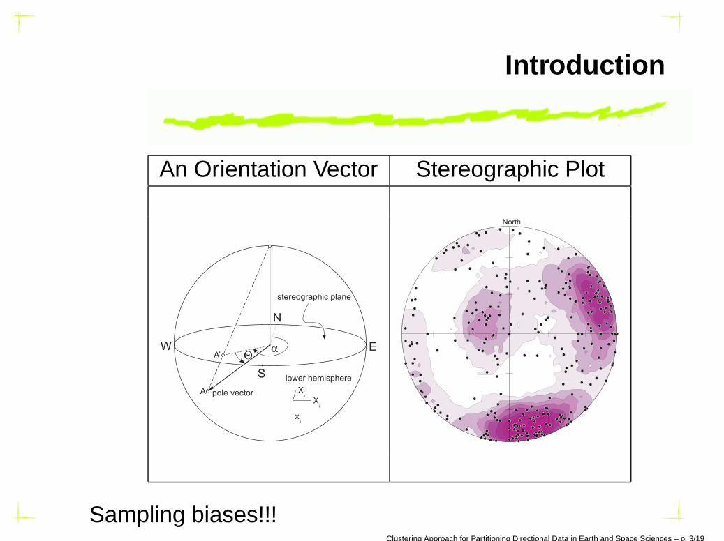
Introduction
An Orientation Vector Stereographic Plot
North
Sampling biases!!!Clustering Approach for Partitioning Directional Data in Earth and Space Sciences – p. 3/19
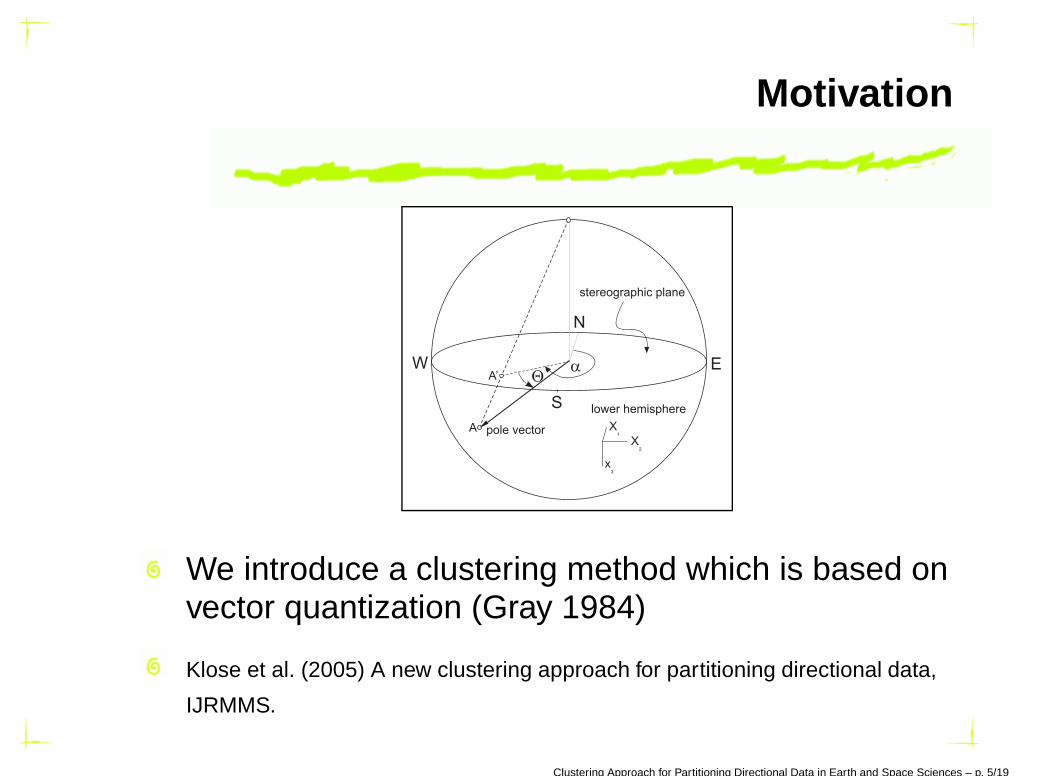
Motivation
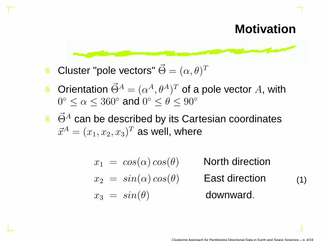
Cluster "pole vectors" ~Θ = (α, θ)T
Orientation ~ΘA = (αA, θA)T of a pole vector A, with0◦ ≤ α ≤ 360◦ and 0◦ ≤ θ ≤ 90◦
~ΘA can be described by its Cartesian coordinates~xA = (x1, x2, x3)
T as well, where
x1 = cos(α) cos(θ) North direction
x2 = sin(α) cos(θ) East direction
x3 = sin(θ) downward.
(1)
Clustering Approach for Partitioning Directional Data in Earth and Space Sciences – p. 4/19
Motivation
We introduce a clustering method which is based onvector quantization (Gray 1984)
Klose et al. (2005) A new clustering approach for partitioning directional data,
IJRMMS.
Clustering Approach for Partitioning Directional Data in Earth and Space Sciences – p. 5/19
The Clustering Method
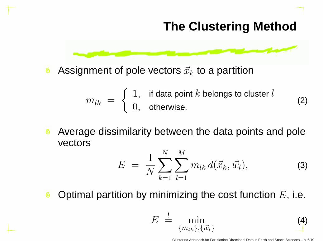
Assignment of pole vectors ~xk to a partition
mlk =
{
1, if data point k belongs to cluster l
0, otherwise.(2)
Average dissimilarity between the data points and polevectors
E =1
N
N∑
k=1
M∑
l=1
mlk d(~xk, ~wl), (3)
Optimal partition by minimizing the cost function E, i.e.
E!= min
{mlk},{~wl}(4)
Clustering Approach for Partitioning Directional Data in Earth and Space Sciences – p. 6/19
The Clustering Method
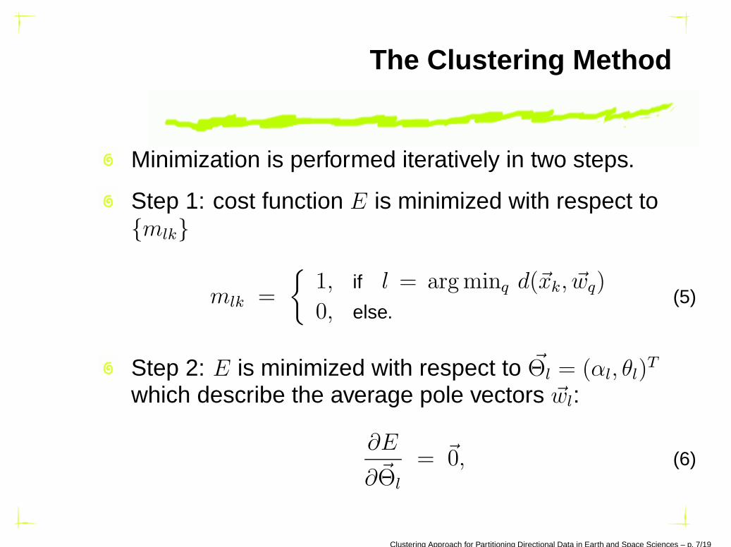
Minimization is performed iteratively in two steps.
Step 1: cost function E is minimized with respect to{mlk}
mlk =
{
1, if l = arg minq d(~xk, ~wq)
0, else.(5)
Step 2: E is minimized with respect to ~Θl = (αl, θl)T
which describe the average pole vectors ~wl:
∂E
∂~Θl
= ~0, (6)
Clustering Approach for Partitioning Directional Data in Earth and Space Sciences – p. 7/19
The Clustering Method
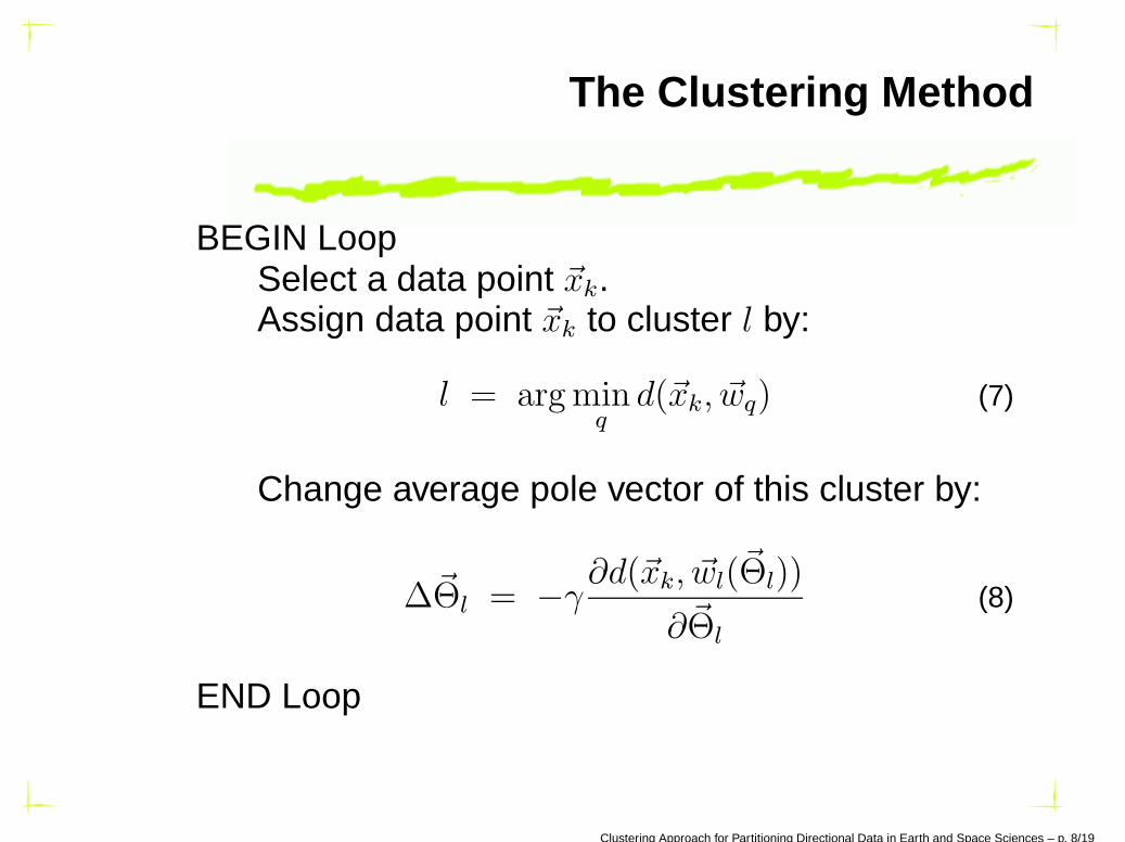
BEGIN LoopSelect a data point ~xk.Assign data point ~xk to cluster l by:
l = arg minq
d(~xk, ~wq) (7)
Change average pole vector of this cluster by:
∆~Θl = −γ∂d(~xk, ~wl(~Θl))
∂~Θl
(8)
END Loop
Clustering Approach for Partitioning Directional Data in Earth and Space Sciences – p. 8/19
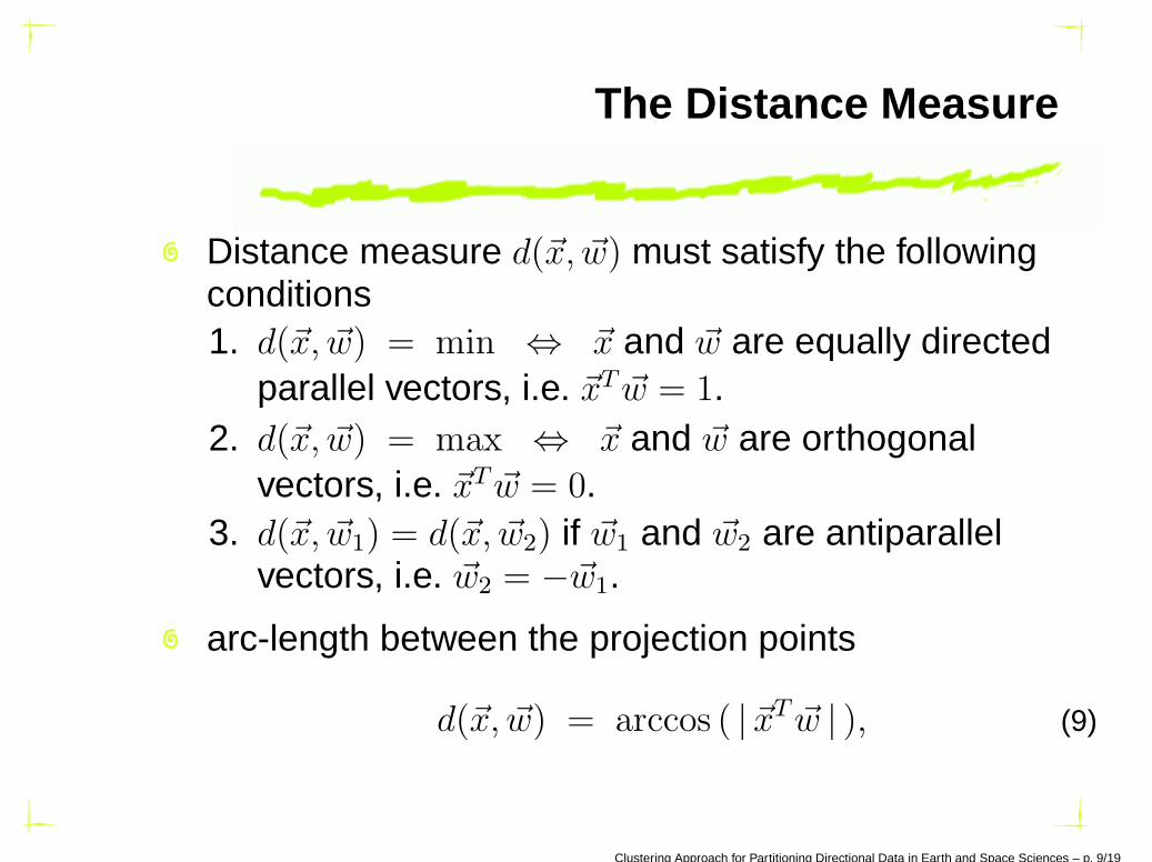
The Distance Measure
Distance measure d(~x, ~w) must satisfy the followingconditions1. d(~x, ~w) = min ⇔ ~x and ~w are equally directed
parallel vectors, i.e. ~xT ~w = 1.2. d(~x, ~w) = max ⇔ ~x and ~w are orthogonal
vectors, i.e. ~xT ~w = 0.3. d(~x, ~w1) = d(~x, ~w2) if ~w1 and ~w2 are antiparallel
vectors, i.e. ~w2 = −~w1.
arc-length between the projection points
d(~x, ~w) = arccos ( | ~xT ~w | ), (9)
Clustering Approach for Partitioning Directional Data in Earth and Space Sciences – p. 9/19
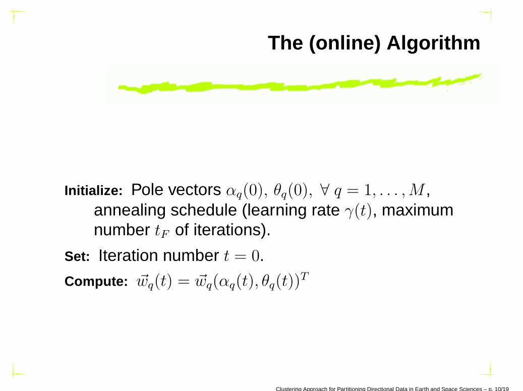
The (online) Algorithm
Initialize: Pole vectors αq(0), θq(0), ∀ q = 1, . . . ,M ,annealing schedule (learning rate γ(t), maximumnumber tF of iterations).
Set: Iteration number t = 0.
Compute: ~wq(t) = ~wq(αq(t), θq(t))T
Clustering Approach for Partitioning Directional Data in Earth and Space Sciences – p. 10/19
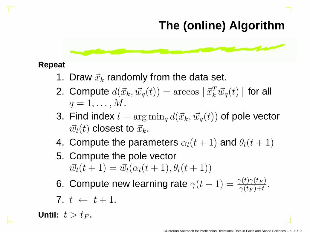
The (online) Algorithm
Repeat
1. Draw ~xk randomly from the data set.2. Compute d(~xk, ~wq(t)) = arccos | ~xT
k ~wq(t) | for allq = 1, . . . ,M .
3. Find index l = arg minq d(~xk, ~wq(t)) of pole vector~wl(t) closest to ~xk.
4. Compute the parameters αl(t + 1) and θl(t + 1)
5. Compute the pole vector~wl(t + 1) = ~wl(αl(t + 1), θl(t + 1))
6. Compute new learning rate γ(t + 1) = γ(t)γ(tF )γ(tF )+t
.
7. t ← t + 1.
Until: t > tF .
Clustering Approach for Partitioning Directional Data in Earth and Space Sciences – p. 11/19
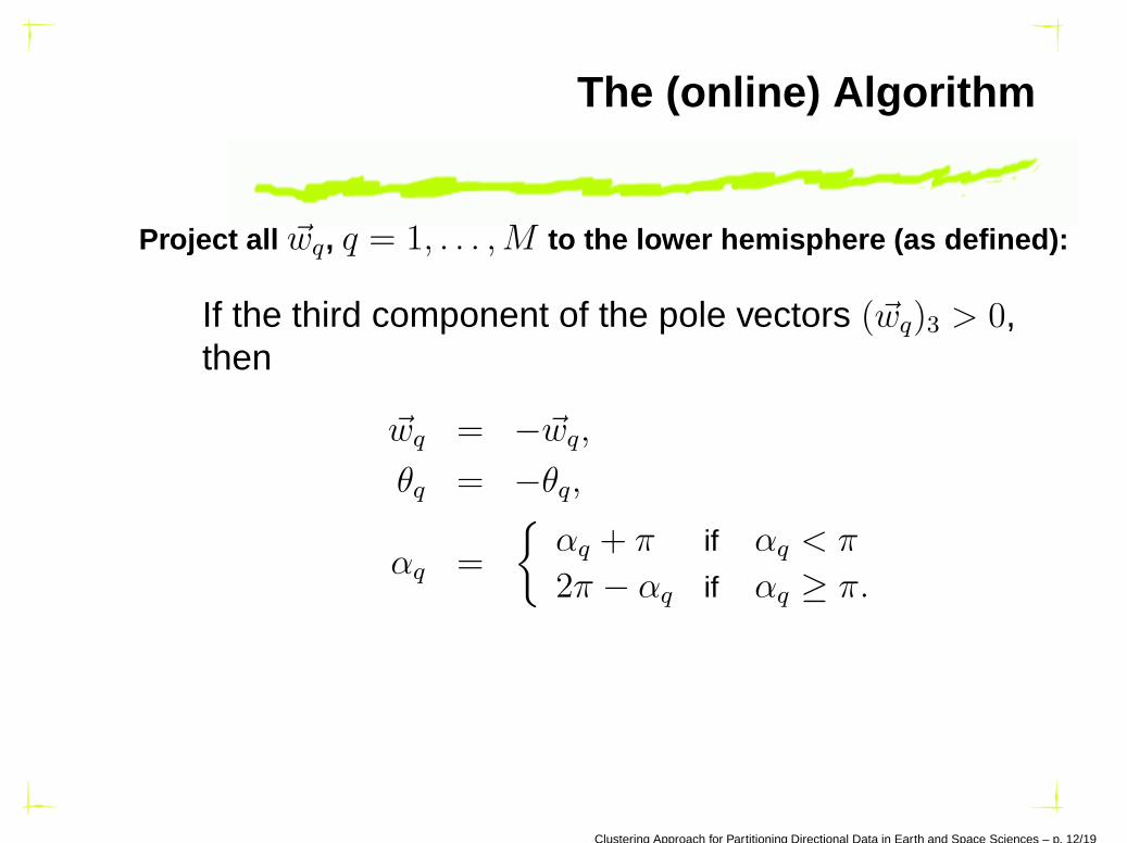
The (online) Algorithm
Project all ~wq, q = 1, . . . ,M to the lower hemisphere (as defined):
If the third component of the pole vectors (~wq)3 > 0,then
~wq = −~wq,
θq = −θq,
αq =
{
αq + π if αq < π
2π − αq if αq ≥ π.
Clustering Approach for Partitioning Directional Data in Earth and Space Sciences – p. 12/19
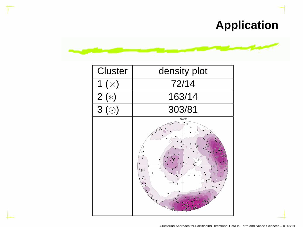
Application
Cluster density plot1 (×) 72/142 (∗) 163/143 (⊙) 303/81
North
Clustering Approach for Partitioning Directional Data in Earth and Space Sciences – p. 13/19
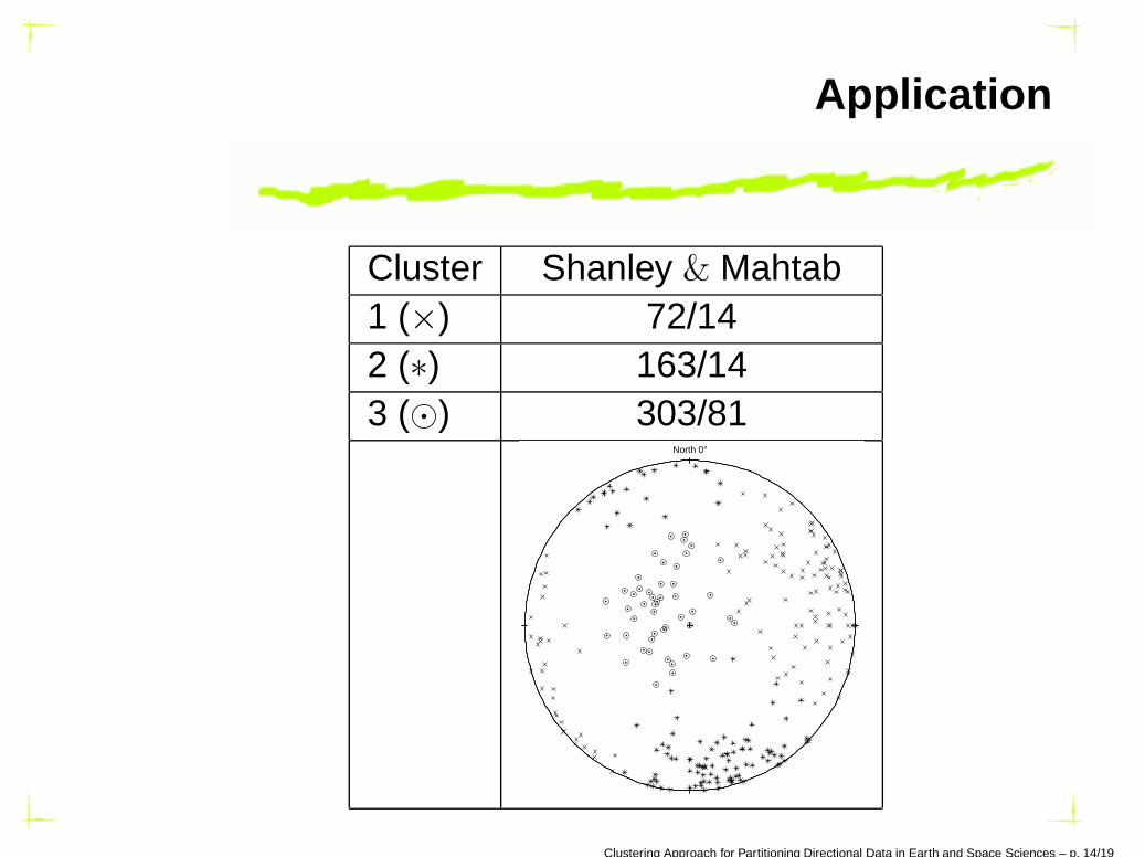
Application
Cluster Shanley & Mahtab1 (×) 72/142 (∗) 163/143 (⊙) 303/81
North 0°
Clustering Approach for Partitioning Directional Data in Earth and Space Sciences – p. 14/19
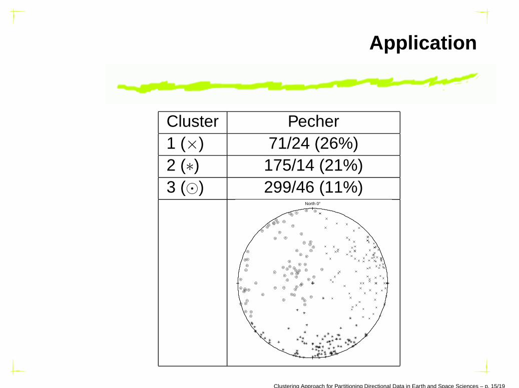
Application
Cluster Pecher1 (×) 71/24 (26%)2 (∗) 175/14 (21%)3 (⊙) 299/46 (11%)
North 0°
Clustering Approach for Partitioning Directional Data in Earth and Space Sciences – p. 15/19
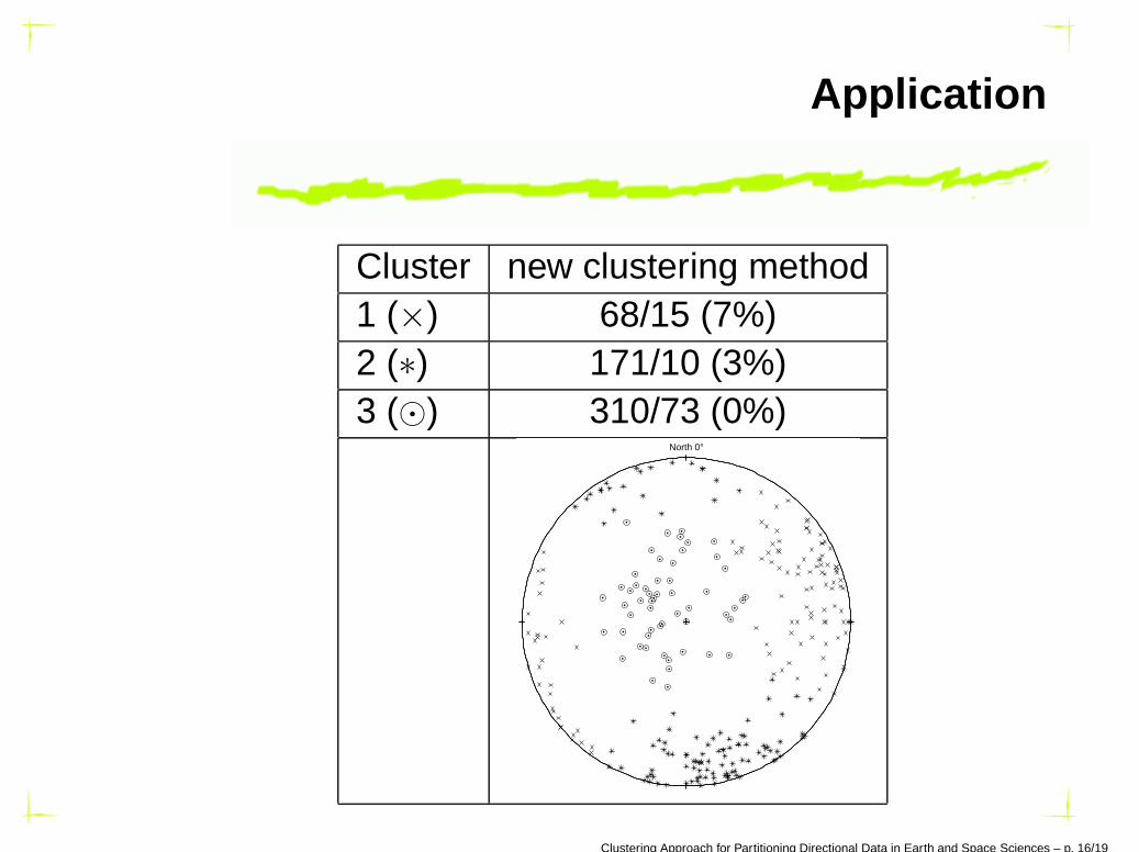
Application
Cluster new clustering method1 (×) 68/15 (7%)2 (∗) 171/10 (3%)3 (⊙) 310/73 (0%)
North 0°
Clustering Approach for Partitioning Directional Data in Earth and Space Sciences – p. 16/19
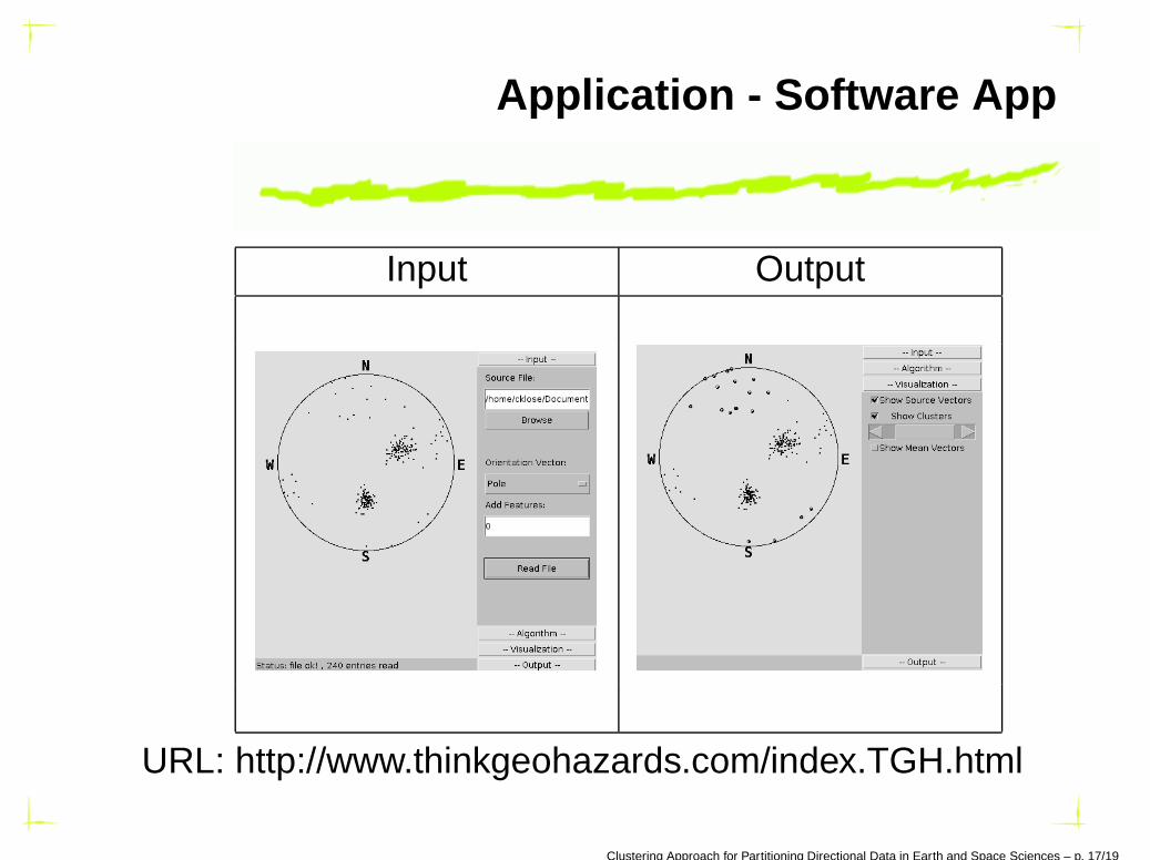
Application - Software App
Input Output
URL: http://www.thinkgeohazards.com/index.TGH.html
Clustering Approach for Partitioning Directional Data in Earth and Space Sciences – p. 17/19
Conclusion
Partitioning directional data into disjoint isotropicclusters,
Analysis of their average orientation,
This new method is self-consistent (EM steps, samecost function),
This method does not require special preprocessing,
Ongoing research on probabilistic assignments(soft-clustering) and additional features.
Clustering Approach for Partitioning Directional Data in Earth and Space Sciences – p. 18/19
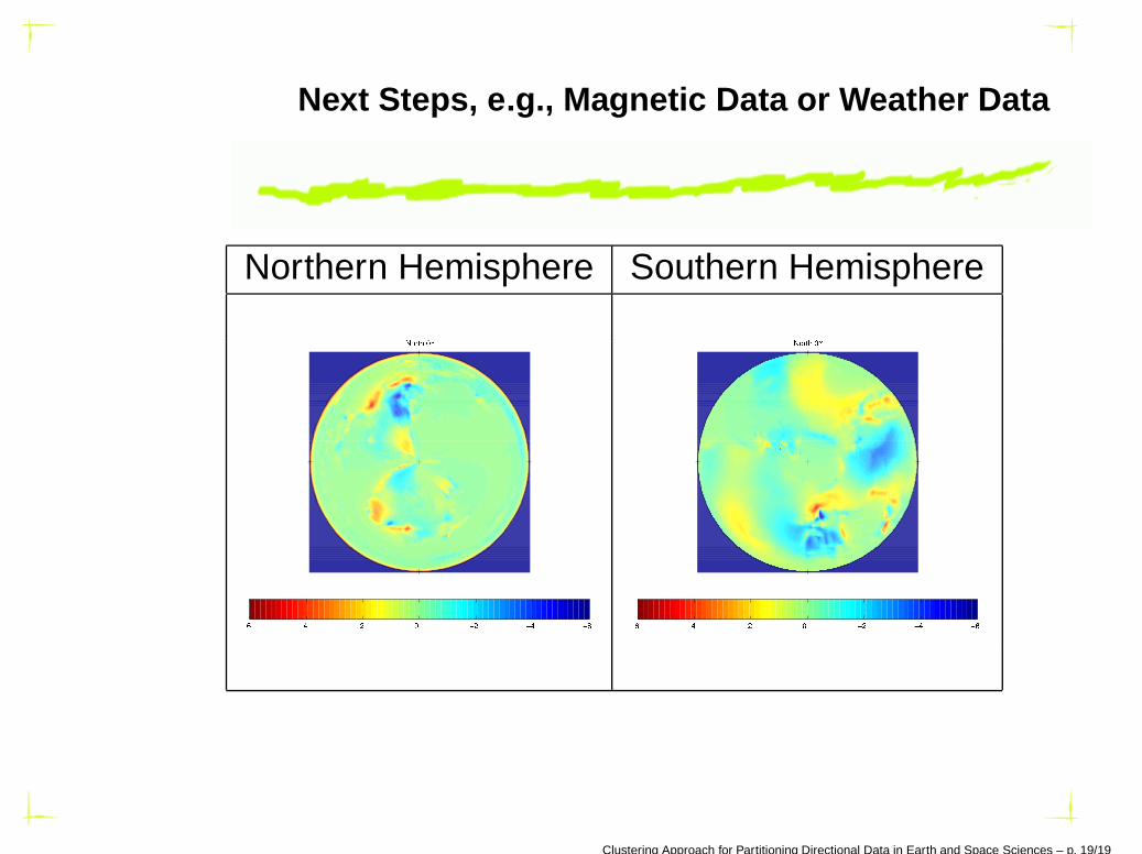
Next Steps, e.g., Magnetic Data or Weather Data
Northern Hemisphere Southern Hemisphere
Clustering Approach for Partitioning Directional Data in Earth and Space Sciences – p. 19/19