Embed Size (px)
Citation preview

Climate Observations and Coastal Climate Services:
Providing Decision-Makers With What They Need
NOAA Ocean Climate Observation7th Annual System Review
Paul ScholzNOAA Coastal Services Center
October 27, 2010

The Rising Demand for Climate Services
Recreation
Hydropower
Commerce
Farming
Coasts Ecosystems
Wind Energy Private Sector

The Other Assessments: Hearing Our Customers’ Needs for Climate Services in Coastal Regions
• Physical Science-based assessments, e.g., NOAA’s State of the Climate in 2009
• Sector-based assessments
• Social science-based needs assessmentsThe Coastal States Organization project, “Envisioning the Future of Coastal Management”
NOAA Coastal Services Center’s Coastal Resource Management Customer Survey
Proceedings from the Sea-Level Rise and Inundation Community Workshop (hosted by NOAA and the U.S. Geological Survey)

“Models used to date do not… include the full effects of changes in ice sheet flow, because a basis in published literature is lacking.”
Intergovernmental Panel on Climate Change (IPCC), Fourth Assessment Report
• More frequent and severe flooding from accelerated sea level rise (SLR)
• Increasing population and development at risk
• Information and tools needed now to aid decision making, even with the uncertainty in SLR projections
Inundation and Accelerated Sea Level Rise: Today’s Flood is Tomorrow’s High Tide

• Base elevation data—topography, bathymetry
• Water level data, such as direct water measurements (tide gages, satellites) or models and projections
• Subsidence or crustal movement trends
• Geodetic information
• Transformation programs
• Geographic information system and visualization tools
What Data and Resources Do You Need to Map Coastal Inundation?

Mapping 1 m SLR in North Carolina on a digital elevation model, based on the following factors:
A. 30 m (1 arc second) National Elevation Dataset (NED) data B. 3 m (1/9 arc second) NED data
Lessons Learned Why Is It Important to Use High-Resolution
Topographic and Bathymetric Data in Mapping?
From CCSP 4.1

NEXTGEN: Sea-Level Rise Impacts Viewer

SLR and Social and Economic Vulnerability
Social Vulnerability Index (From S. Cutter, University of South Carolina)
U.S. Department of Labor Bureau of Labor Statistics • Businesses • Employees • Wages
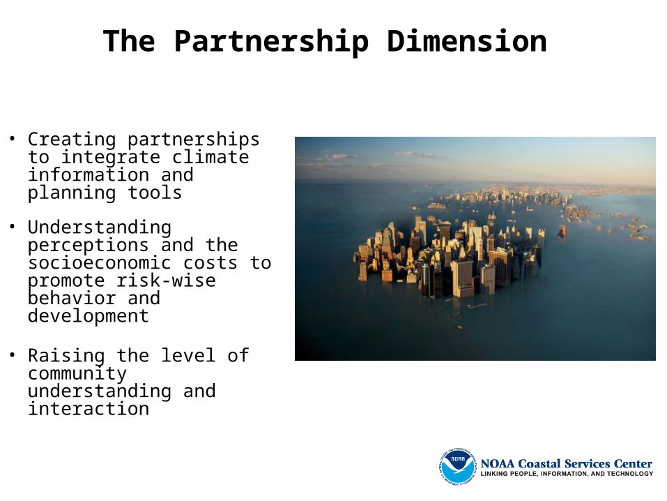
The Partnership Dimension
• Creating partnerships to integrate climate information and planning tools
• Understanding perceptions and the socioeconomic costs to promote risk-wise behavior and development
• Raising the level of community understanding and interaction

If This Is 2010, What Will 2039 Be Like?
• Coastal infrastructure programs generally have 30-year lead times
• How many times should you pay to upgrade the port infrastructure?
• What are the solutions?
• Whom are you talking to?