Embed Size (px)
Citation preview
Civil Engineering & Surveying
WCSIF
Siddique Motala

GIS at CPUT
Departments:
• Civil Engineering & Surveying – ND: Cartography (GISc)
– ND: Surveying
• Environmental & Occupational Studies
• Town & Regional Planning
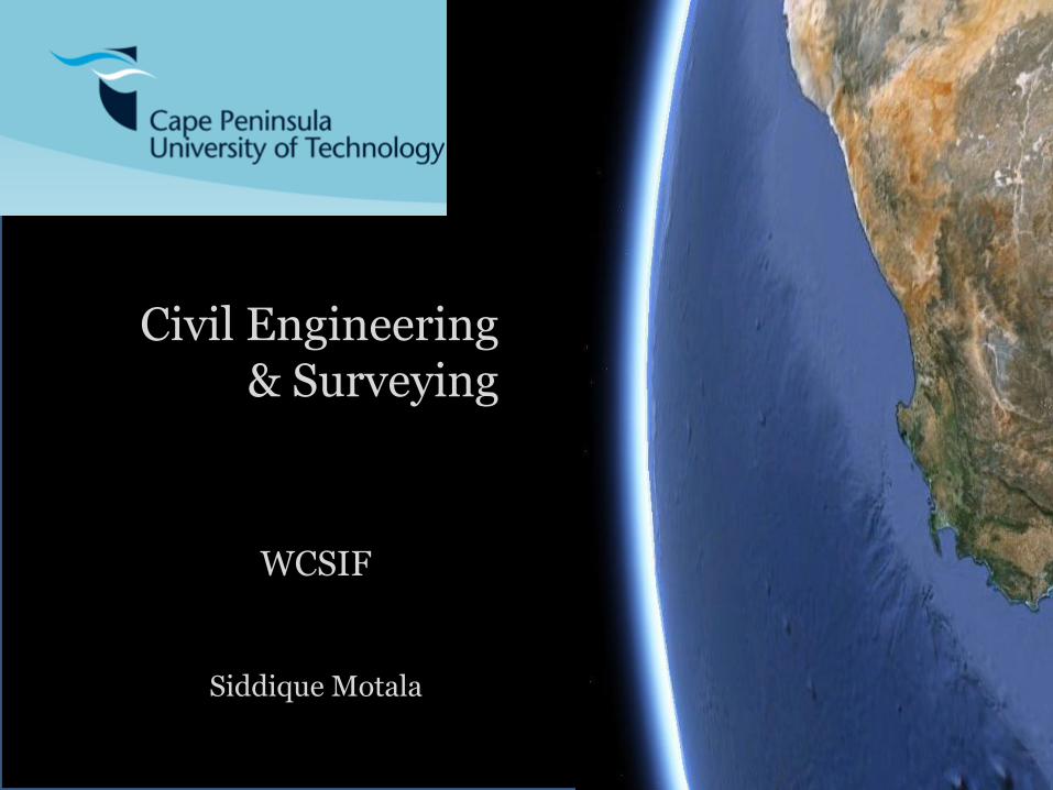
GISc diploma – first group
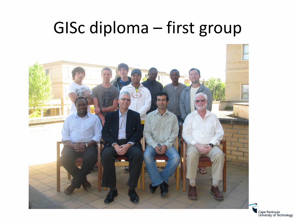
National Diploma Students Surveying and GISc combined
0
20
40
60
80
100
120
2004 2005 2006 2007 2008 2009 2010 2011 2012 2013 2014
First Year Third Year Total
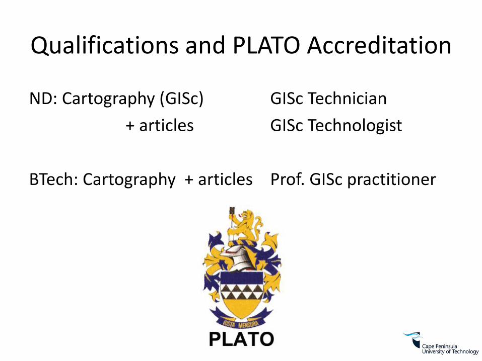
Qualifications and PLATO Accreditation
ND: Cartography (GISc) GISc Technician
+ articles GISc Technologist
BTech: Cartography + articles Prof. GISc practitioner

Multimedia Studio

Tablets
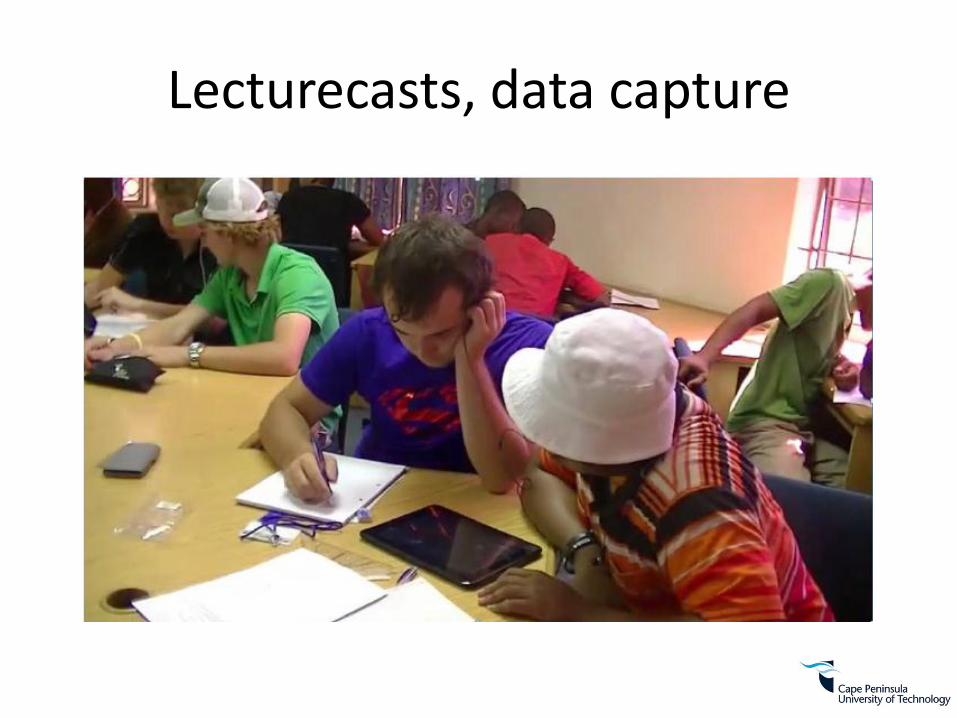
Lecturecasts, data capture
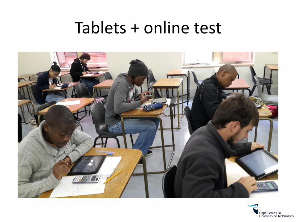
Tablets + online test

Digital storytelling
• Used in GIS diploma
• Higher-order thinking, critical thinking, social conscientization
• Student story
Research
• Participatory GIS
• GIS education
• Partnerships – Isandla, VPUU, CORC/SDI, OSGEO, DRDLR