Embed Size (px)
Citation preview

Chapter 5
“A Land of Contrasts” United States and Canada

Ch. 5.1 “Land and Resources”
• U.S. and Canada occupy 4/5 of North America
• Culturally known as Anglo America
• Large land mass + abundance of resources = high probability of econ. success

Varied Landforms
• Eastern Lowlands (Coastal
Plain)
• Appalachian Mtns. (highlands)
• Interior Lowlands
1. Great Plains
2. Canadian Shield
• West
– 1. Rocky Mountains
– 2. Continental divide
– 3. Sierra Nevada & Cascades
• Islands
– 1. Canadian (Artic)
– 2. Aleutian (Alaska)
– 3. Hawaiian (Pacific)

Islands of Canada Rocky Mtns.
•Continental Divide: point where
rivers flow E and W.

Oceans
1. Pacific
2. Atlantic
• Arctic
• Gulf of Mexico
• Hudson Bay
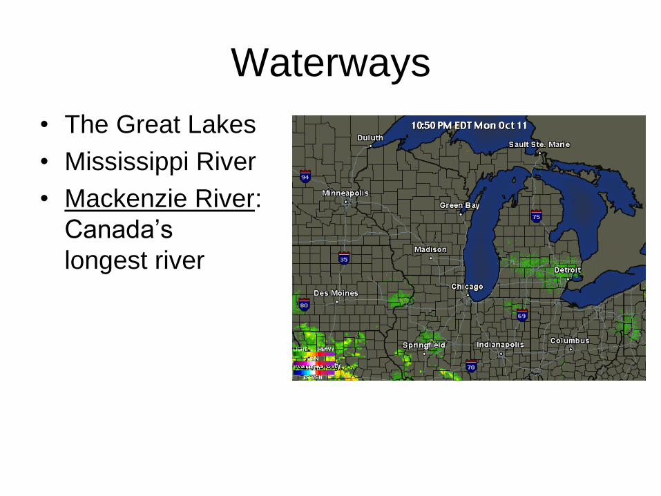
Waterways
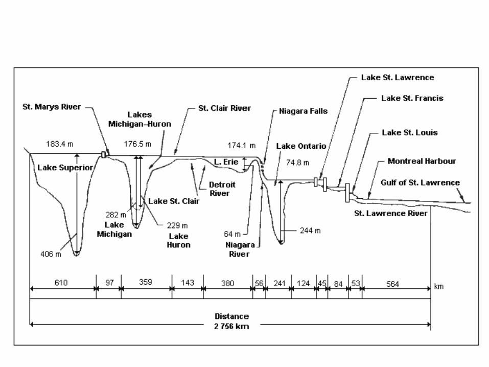
• The Great Lakes
• Mississippi River
• Mackenzie River:
Canada’s
longest river
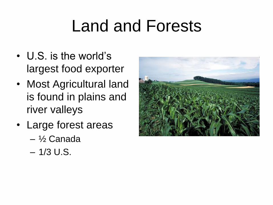
Land and Forests
• U.S. is the world’s
largest food exporter
• Most Agricultural land
is found in plains and
river valleys
• Large forest areas
– ½ Canada
– 1/3 U.S.
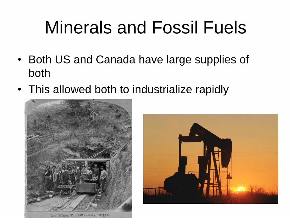
Minerals and Fossil Fuels
• Both US and Canada have large supplies of
both
• This allowed both to industrialize rapidly
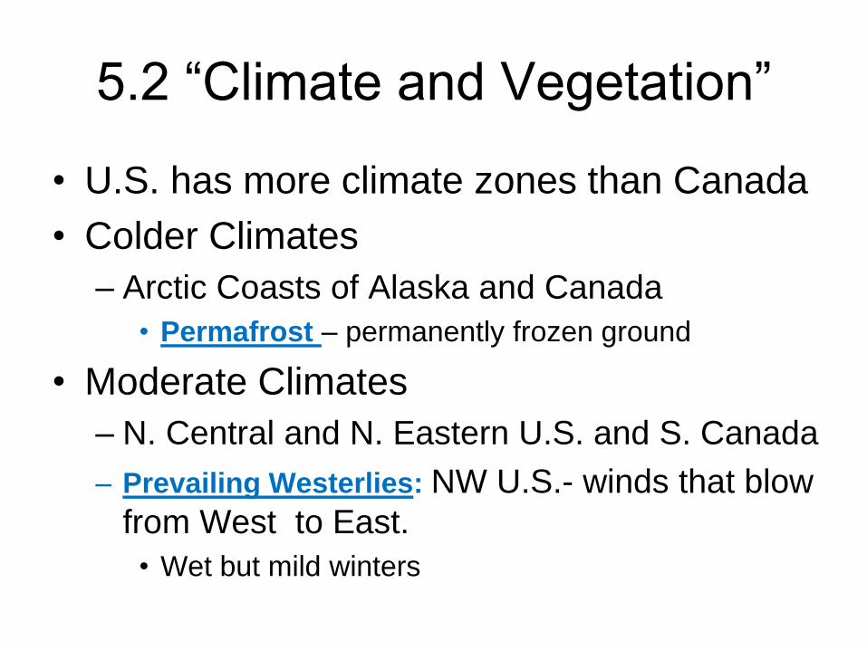
5.2 “Climate and Vegetation”
• U.S. has more climate zones than Canada
• Colder Climates
– Arctic Coasts of Alaska and Canada
• Permafrost – permanently frozen ground
• Moderate Climates
– N. Central and N. Eastern U.S. and S. Canada
– Prevailing Westerlies: NW U.S.- winds that blow
from West to East.
• Wet but mild winters

Great Plains

Effects of Extreme Weather
• Thunderstorms
• Tornados
• Blizzards
Cold air from
Canada
Warm air from
Gulf of Mexico

5.3 “Human Environment
Interaction”
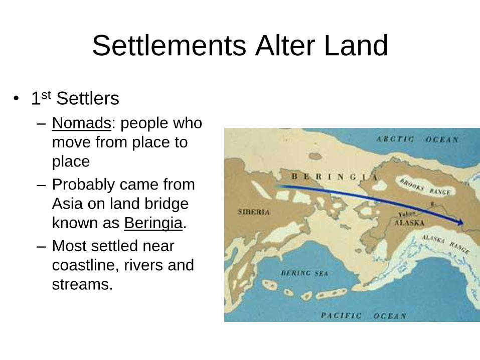
Settlements Alter Land
• 1st Settlers
– Nomads: people who
move from place to
place
– Probably came from
Asia on land bridge
known as Beringia.
– Most settled near
coastline, rivers and
streams.

Agriculture Alters Land
• Settlements become
permanent after
agriculture becomes
primary source of
food.
– Both countries are
leading exporters of
agriculture

Building Cities
• Montreal
– Canada’s 2nd largest
city
– Major Port
– Below 32° 100 days
out of year
• As consequence many
retail centers
underground

Differences in Climate and
Vegetation
1. Milder Climates
• Southern States: mild temp + adequate rainfall = long growing season
2. Dry Climates
• Great Plains and Northern parts of Great Basin, less than 15 in. of rain per year
3. Tropical Climates
• Hawaii and Southern Florida • Everglades: swamp land that covers 4,000 sq.
mi.

• Los Angeles
– US 2nd largest city
– Rapid population leads
to problems
• Smog
• Inadequate H²O
supplies
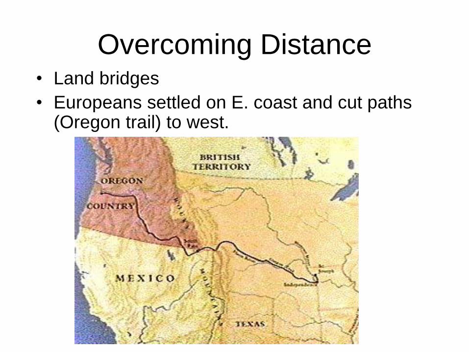
Overcoming Distance • Land bridges
• Europeans settled on E. coast and cut paths (Oregon trail) to west.

Waterways • Erie Canal- Atlantic Ocean to Great Lakes
• St. Lawrence Seaway – N. Americas most important deepwater ship route
– Uses locks to move ships up & down 600 feet


Transcontinental Railroad
• Trains make crossing
continent easier
• 1st trans continental
RR completed in
1869
• Many natural barriers,
canyons, rivers,
mountains, had to be
overcome

National Highway System
• US
– 4,000,000 miles of
roads
• Canada
– 560,000

Check for Understanding
•31) The Minute Paper
• In one minute, describe the most
meaningful thing you have learned about
the U.S. and Canada.
• Write without stopping for one minute.