Embed Size (px)
Citation preview
12/1/2009
1
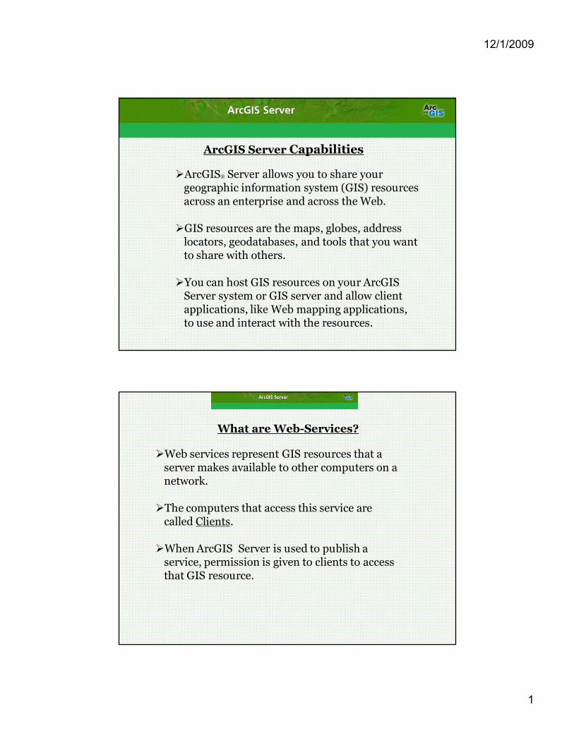
ArcGIS Server Capabilities
ØArcGIS® Server allows you to share your geographic information system (GIS) resources across an enterprise and across the Web.
ØGIS resources are the maps, globes, address locators, geodatabases, and tools that you want to share with others.
ØYou can host GIS resources on your ArcGIS Server system or GIS server and allow client applications, like Web mapping applications, to use and interact with the resources.
What are WebServices?
ØWeb services represent GIS resources that a server makes available to other computers on a network.
ØThe computers that access this service are called Clients.
ØWhen ArcGIS Server is used to publish a service, permission is given to clients to access that GIS resource.

12/1/2009
2
Key Capabilities
ØPublish Web maps tailored to your audience •GIS Web Services Demo •Oregon Stimulus Tracker
ØGeographically enable IT investments
ØCentrally manage Geodata
ØSimplification of access to large volumes of imagery resources
ØExtend GIS technology to mobile workforce
ØApplication developer tools and for mobile development
Extended Capabilities
Extensions Ø 3D oAnalyze terrain data oVisualize optimum facility placement
ØSpatial (Advanced Raster Analysis) oFinding Optimum locations oUtilizes other surface model techniques
ØNetwork oMultipoint optimized routing oAllocation of service areas
12/1/2009
3
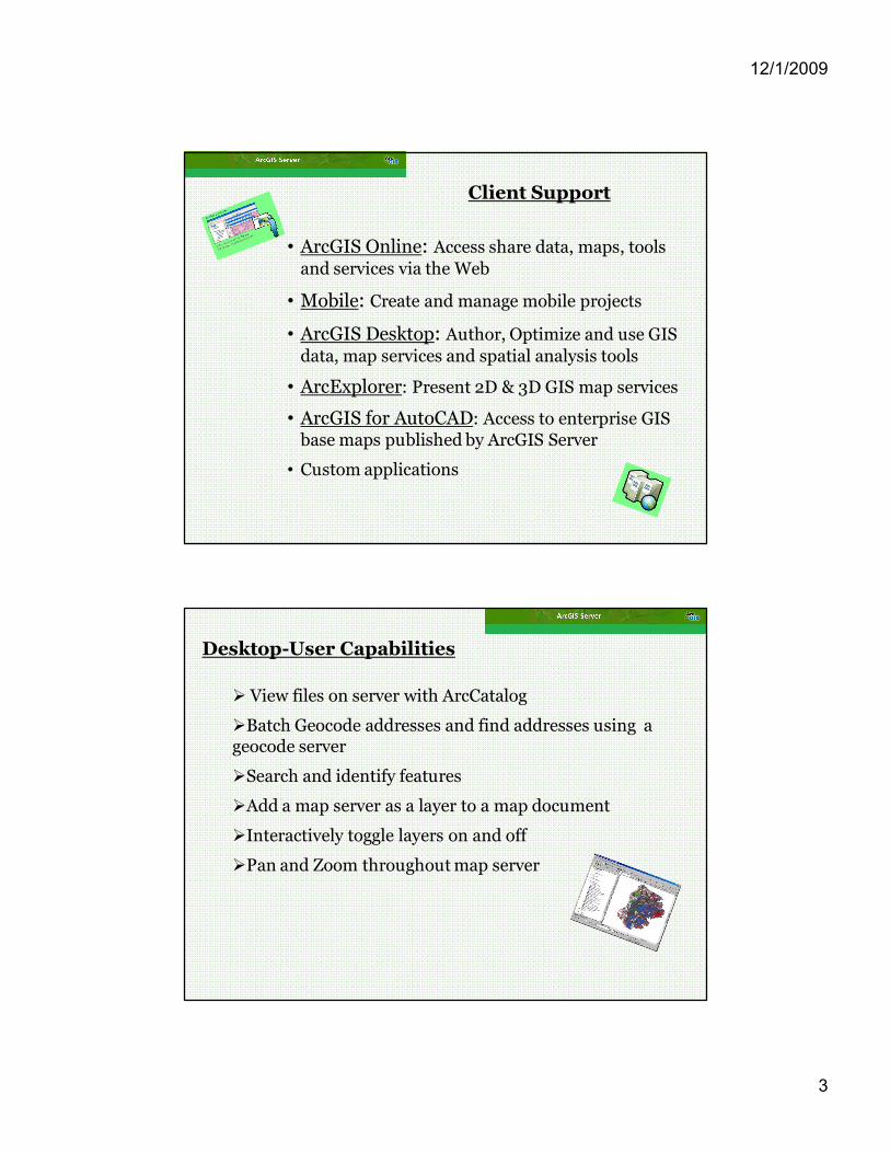
Client Support
• ArcGIS Online: Access share data, maps, tools and services via the Web
• Mobile: Create and manage mobile projects
• ArcGIS Desktop: Author, Optimize and use GIS data, map services and spatial analysis tools
• ArcExplorer: Present 2D & 3D GIS map services
• ArcGIS for AutoCAD: Access to enterprise GIS base maps published by ArcGIS Server
• Custom applications
DesktopUser Capabilities
Ø View files on server with ArcCatalog
ØBatch Geocode addresses and find addresses using a geocode server
ØSearch and identify features
ØAdd a map server as a layer to a map document
ØInteractively toggle layers on and off
ØPan and Zoom throughout map server
12/1/2009
4
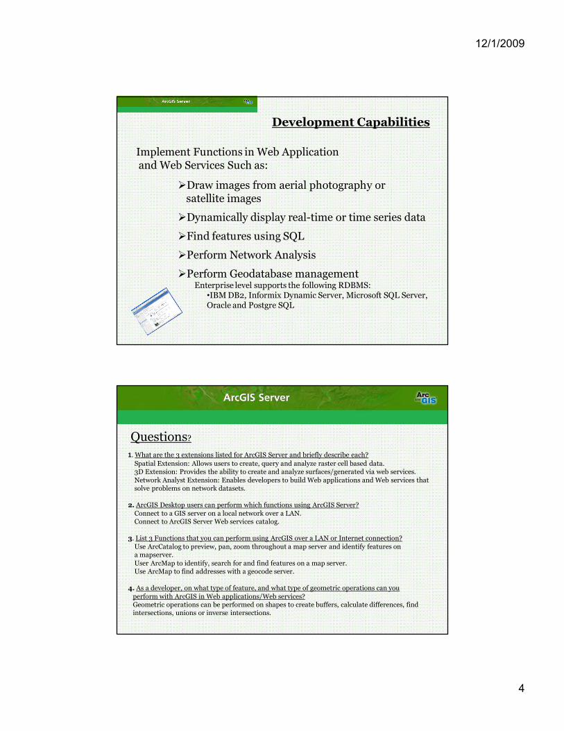
Development Capabilities
Implement Functions in Web Application and Web Services Such as:
ØDraw images from aerial photography or satellite images
ØDynamically display realtime or time series data
ØFind features using SQL
ØPerform Network Analysis
ØPerform Geodatabase management Enterprise level supports the following RDBMS:
•IBM DB2, Informix Dynamic Server, Microsoft SQL Server, Oracle and Postgre SQL
1. What are the 3 extensions listed for ArcGIS Server and briefly describe each? Spatial Extension: Allows users to create, query and analyze raster cell based data. 3D Extension: Provides the ability to create and analyze surfaces/generated via web services. Network Analyst Extension: Enables developers to build Web applications and Web services that solve problems on network datasets.
2. ArcGIS Desktop users can perform which functions using ArcGIS Server? Connect to a GIS server on a local network over a LAN. Connect to ArcGIS Server Web services catalog.
3. List 3 Functions that you can perform using ArcGIS over a LAN or Internet connection? Use ArcCatalog to preview, pan, zoom throughout a map server and identify features on a mapserver. User ArcMap to identify, search for and find features on a map server. Use ArcMap to find addresses with a geocode server.
4. As a developer, on what type of feature, and what type of geometric operations can you perform with ArcGIS in Web applications/Web services? Geometric operations can be performed on shapes to create buffers, calculate differences, find intersections, unions or inverse intersections.
Questions?

12/1/2009
5
Resources:
ESRI: ArcGIS Server: Introducing ArcGIS Server ArcGIS Server 9.3.1: Functionality Matrix ArcGIS Server: Brochure