Embed Size (px)
Citation preview
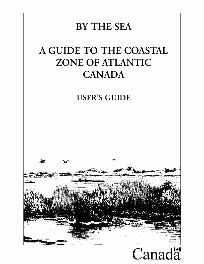
BY THE SEA
A GUIDE TO THE COASTALZONE OF ATLANTIC
CANADA
USER’S GUIDE
ACKNOWLEDGMENTS:
FUNDING: Department of Fisheries and Oceans,
COORDINATORS: Roland D. Chiasson, Sabine B. Dietz
SUPERVISION & REVISIONS: John A. Legault, Sophie Bastien-Daigle
GRAPHICS: Sabine Dietz, Ursula Koch, Elke Leitner, Jean-Raymond Gallien (used with permissionfrom the N.B. Department of Natural Resources and Energy)
Également disponible en français.
Fisheries Pêches Piper Project/Projet siffleurand Oceans et Océans 4800 Route 11
Tabusintac, N.B.E9H 1J6
Department of Fisheries and OceansHabitat Management Division343 Archibald StreetMoncton, N.B.E1C 9B6
Prepared by: Corvus Consultants Inc.,Tabusintac, N.B., Canada Cat. no. S-23-289/1996 E ©1996
ISBN 0-660-16410-8
THE MODULES
MODULE 1 : INTRODUCTORY MODULEMODULE 2 : TO THE HORIZON - THE NEARSHOREMODULE 3 : ESTUARIESMODULE 4 : SALT MARSHESMODULE 5 : TIDAL MUDFLATSMODULE 6 : SANDY BEACHES AND DUNESMODULE 7 : ROCKY SHORESMODULE 8 : COASTAL ISLANDS AND CLIFFSMODULE 9 : COBBLE BEACHESMODULE 10 : COASTAL BOGSMODULE 11 : FRESHWATER BARRIER PONDSMODULE 12 : FJORDSMODULE 13 : ACTIVITIES
ABOUT THE MANUAL .......................................................................................................................... 3
1.1. Who is this guide for? 3
1.2. How is this guide organized? 3
1.3. About the ecosystem modules 3
1.4. How to use the ecosystem modules: 4
MODULE DESCRIPTIONS,
LEARNING OBJECTIVES, STUDY QUESTIONS AND SUGGESTED ACTIVITIES ..................... 5
Activity Suggestions 6
Matrix of Activities suggested for each module:7
Description of the activities: 9
THE MODULES ........................................................................ 15
Module 1 Introduction 15
Module 2 To the Horizon - The Nearshore 17
Module 3 Estuaries 19
Module 4 Salt Marshes 21
Module 5 Tidal Mudflats23
Module 6 Sandy Beaches and Dunes 25
Module 7 Rocky Shores 27
Module 8 Coastal Islands and Cliffs 29
Module 9 Cobble Beaches31
Module 10 Coastal Bogs 33
Module 11 Freshwater Barrier Ponds 35
Module 12 Fjords 37
ABOUT THE MANUAL
«By the Sea-A Guide to the Coastal Zone of Atlantic Canada» explores eleven ecosystems foundacross the eastern Atlantic region of Canada. This user’s manual is meant to help educators prepare,present, and use the materials in the different modules of this Guide. This manual provides informa-tion about the structure and intent of the Guide. In the appendix you will find a sample quiz, aglossary, and references.
1.1. Who is this guide for?
The guide is intended for educators, park interpreters, scout leaders, girl guide leaders, naturalistgroups, workshop leaders, and anyone who is acting as a facilitator (passing on the information). Alarge amount of information has been gathered in the guide. It’s up to you to determine which partsof the guide to use. Almost any age group can use all or part of the guide. All or only parts of theinformation can be relayed as is required.
1.2. How is this guide organized?
The guide has four parts: an educator’s manual, which is the one you are reading now; an introduc-tory module on coastal ecosystems; 11 modules, each representing one type of coastal ecosystem; andone module with activities and experiments. Since the modules have holes for a binder it can becustomized with other pieces of the document to incorporate into a lesson plan. For example, thelearning objectives, study objectives and activity suggestions about the sandy beach can be combinedwith the module on sandy beaches into one binder.
1.3. About the ecosystem modules
Eleven modules represent different coastal ecosystems. Each can be used independently of otherecosystem modules, however use of the introductory module is recommended. The individualecosystem modules describe in detail the particular aspects of each ecosystem.
Although an attempt is made to mention the most common and representative species of plants andanimals, these examples might not be completely applicable for your area. In an area as large as theAtlantic Coast of Canada the variations are great. The overlap between ecosystems in the coastal zoneis often so strong that it can be very difficult, if not impossible, to mark boundaries. Many speciesuse several ecosystems. To avoid creating an enormous guide, all species using a particular ecosystemcould not be mentioned in each module. Every attempt was made to cover the key species at leastonce in one of the modules. Please note that the species composition in a particular ecosystem inNewfoundland can differ greatly from the mainland.
Species lists (common and Latin names) are included at the end of each ecosystem module. Onlyspecific common names unique to one species are capitalized. Common names may vary from regionto region and from reference text to reference text, but the Latin names [rarely] change. The Latinname can thus be used to verify information in other texts, or to find out whether a particular speciesoccurs in a specific area. Each module contains two tables of contents, one listing all the modulesavailable, and a second one for the particular module at hand, highlighting the major topics covered.
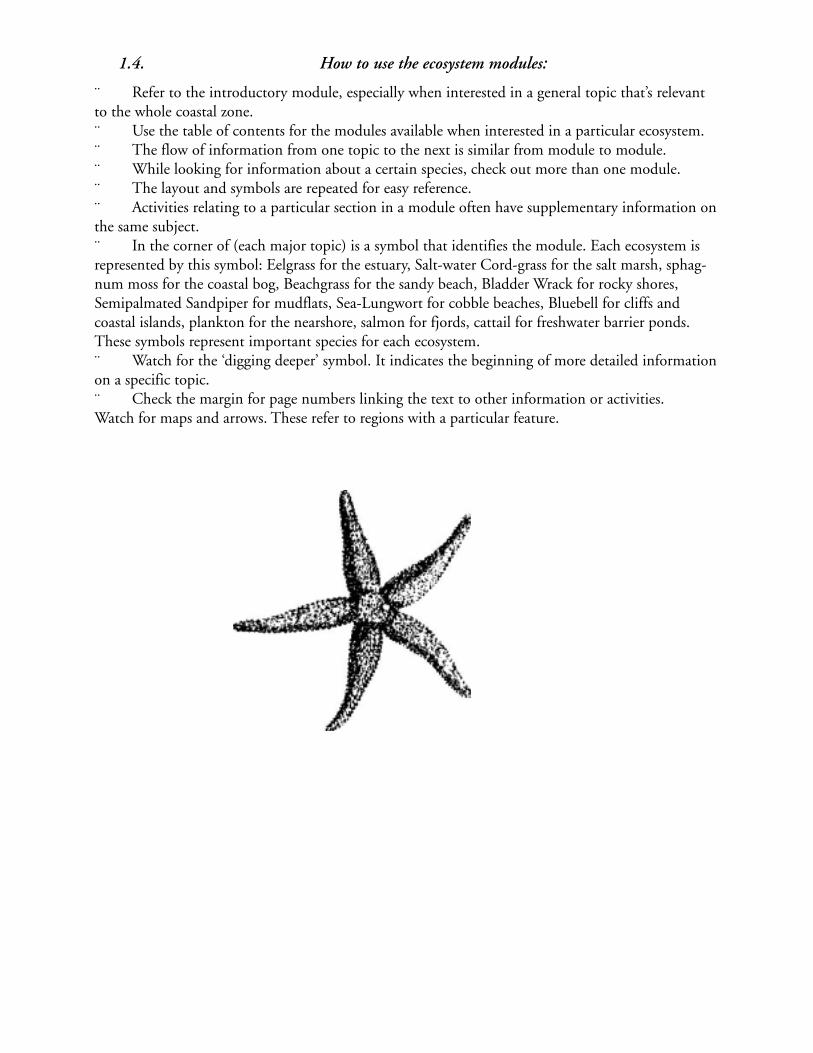
1.4. How to use the ecosystem modules:
¨ Refer to the introductory module, especially when interested in a general topic that’s relevantto the whole coastal zone.¨ Use the table of contents for the modules available when interested in a particular ecosystem.¨ The flow of information from one topic to the next is similar from module to module.¨ While looking for information about a certain species, check out more than one module.¨ The layout and symbols are repeated for easy reference.¨ Activities relating to a particular section in a module often have supplementary information onthe same subject.¨ In the corner of (each major topic) is a symbol that identifies the module. Each ecosystem isrepresented by this symbol: Eelgrass for the estuary, Salt-water Cord-grass for the salt marsh, sphag-num moss for the coastal bog, Beachgrass for the sandy beach, Bladder Wrack for rocky shores,Semipalmated Sandpiper for mudflats, Sea-Lungwort for cobble beaches, Bluebell for cliffs andcoastal islands, plankton for the nearshore, salmon for fjords, cattail for freshwater barrier ponds.These symbols represent important species for each ecosystem.¨ Watch for the ‘digging deeper’ symbol. It indicates the beginning of more detailed informationon a specific topic.¨ Check the margin for page numbers linking the text to other information or activities.Watch for maps and arrows. These refer to regions with a particular feature.
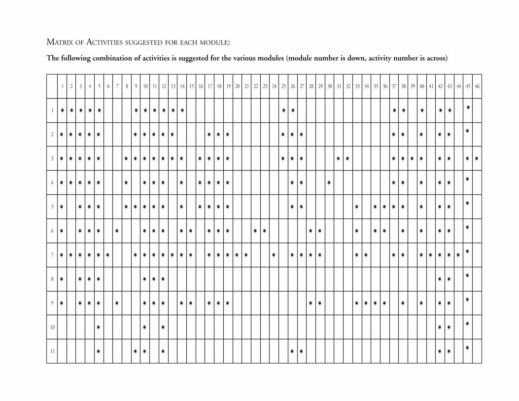
MATRIX OF ACTIVITIES SUGGESTED FOR EACH MODULE:
The following combination of activities is suggested for the various modules (module number is down, activity number is across)
1 2 3 4 5 6 7 8 9 01 11 21 31 41 51 61 71 81 91 02 12 22 32 42 52 62 72 82 92 03 13 23 33 43 53 63 73 83 93 04 14 24 34 44 54 64
1 ✸ ✸ ✸ ✸ ✸ ✸ ✸ ✸ ✸ ✸ ✸ ✸ ✸ ✸ ✸ ✸ ✸ ✸✸
2 ✸ ✸ ✸ ✸ ✸ ✸ ✸ ✸ ✸ ✸ ✸ ✸ ✸ ✸ ✸ ✸ ✸ ✸ ✸ ✸ ✸✸
3 ✸ ✸ ✸ ✸ ✸ ✸ ✸ ✸ ✸ ✸ ✸ ✸ ✸ ✸ ✸ ✸ ✸ ✸ ✸ ✸ ✸ ✸ ✸ ✸ ✸ ✸ ✸ ✸ ✸
4 ✸ ✸ ✸ ✸ ✸ ✸ ✸ ✸ ✸ ✸ ✸ ✸ ✸ ✸ ✸ ✸ ✸ ✸ ✸ ✸ ✸ ✸✸
5 ✸ ✸ ✸ ✸ ✸ ✸ ✸ ✸ ✸ ✸ ✸ ✸ ✸ ✸ ✸ ✸ ✸ ✸ ✸ ✸ ✸ ✸ ✸ ✸✸
6 ✸ ✸ ✸ ✸ ✸ ✸ ✸ ✸ ✸ ✸ ✸ ✸ ✸ ✸ ✸ ✸ ✸ ✸ ✸ ✸ ✸ ✸ ✸ ✸✸
7 ✸ ✸ ✸ ✸ ✸ ✸ ✸ ✸ ✸ ✸ ✸ ✸ ✸ ✸ ✸ ✸ ✸ ✸ ✸ ✸ ✸ ✸ ✸ ✸ ✸ ✸ ✸ ✸ ✸ ✸ ✸ ✸✸
8 ✸ ✸ ✸ ✸ ✸ ✸ ✸ ✸ ✸✸
9 ✸ ✸ ✸ ✸ ✸ ✸ ✸ ✸ ✸ ✸ ✸ ✸ ✸ ✸ ✸ ✸ ✸ ✸ ✸ ✸ ✸ ✸ ✸✸
01 ✸ ✸ ✸ ✸ ✸✸
11 ✸ ✸ ✸ ✸ ✸ ✸ ✸ ✸✸
MODULE DESCRIPTIONS, LEARNING OBJECTIVES, STUDY QUES-TIONS AND SUGGESTED ACTIVITIES
Each module description includes a set of learning objectives, a series of questions and a list of sug-gested activities. These items are intended as an aid for the educator. The learning objectives will tellyou what you will learn with these modules. The study questions can assist in learning the material ineach module. The list of suggested activities includes a brief description of each activity.All these parts can be photocopied or removed and used as exercises in themselves. Or they can beused as lead questions to encourage discussion in a group. They are provided here as a teaching toolto be used as you see fit. In the appendix there is a sample quiz covering questions for many of themodules. It can be adapted and changed for any module(s).
ACTIVITY SUGGESTIONS
Activity Module: (Module 13):
The Activity Module (Module 13) contains activities, experiments, and games relating to all themodules, and some related to one specific ecosystem module. This module is an integral part of allother modules. It contains a table of contents and summary of information on activities theme andlocation.How to Use the Activity Module¨ Activities are organized under seven topics. Use these topics to select the activities.¨ Refer to the table that summarizes the activities when interested in a particular activity. Eachactivity is numbered, named, and the theme, location, ecosystem type, and grade levels are provided.Using the section under ‘Extensions’ and your creativity to expand the grade level of almost anyactivity to suit the needs of a group.¨ Once an activity has been chosen, check the right margin for information on the activity. Doyou have all the materials? Can the activity be done indoors? Is there enough time and participants?
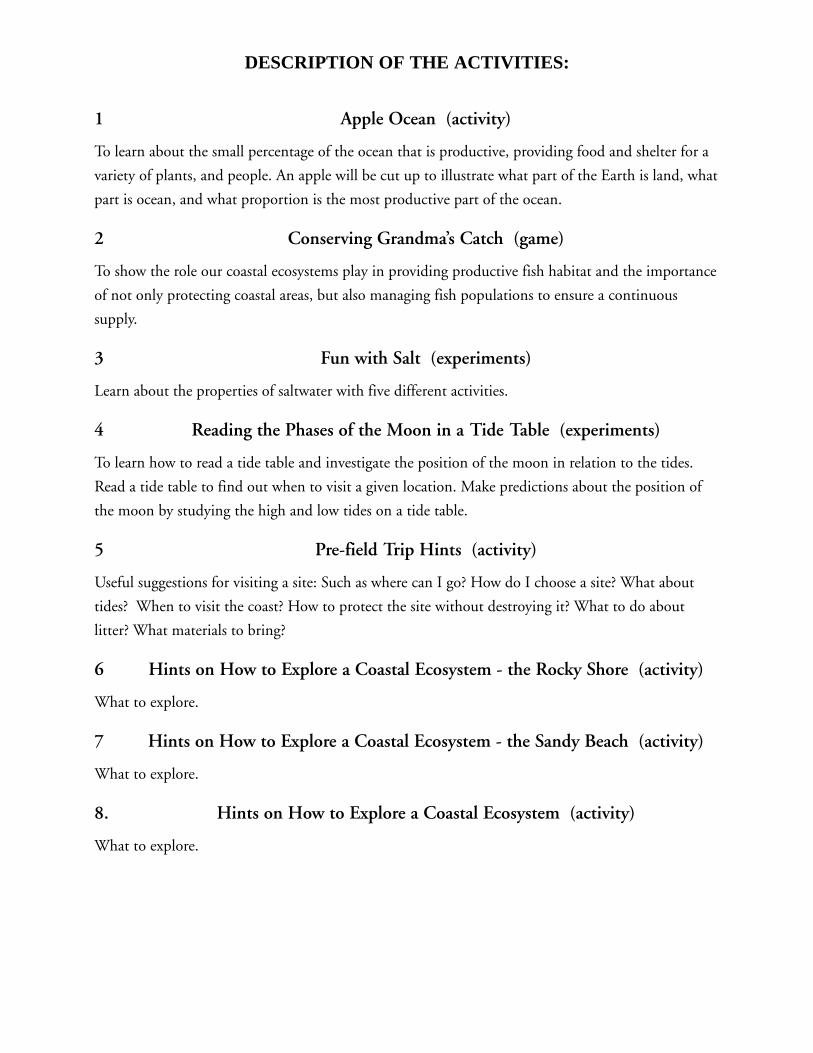
DESCRIPTION OF THE ACTIVITIES:
1 Apple Ocean (activity)
To learn about the small percentage of the ocean that is productive, providing food and shelter for a
variety of plants, and people. An apple will be cut up to illustrate what part of the Earth is land, what
part is ocean, and what proportion is the most productive part of the ocean.
2 Conserving Grandma’s Catch (game)
To show the role our coastal ecosystems play in providing productive fish habitat and the importance
of not only protecting coastal areas, but also managing fish populations to ensure a continuous
supply.
3 Fun with Salt (experiments)
Learn about the properties of saltwater with five different activities.
4 Reading the Phases of the Moon in a Tide Table (experiments)
To learn how to read a tide table and investigate the position of the moon in relation to the tides.
Read a tide table to find out when to visit a given location. Make predictions about the position of
the moon by studying the high and low tides on a tide table.
5 Pre-field Trip Hints (activity)
Useful suggestions for visiting a site: Such as where can I go? How do I choose a site? What about
tides? When to visit the coast? How to protect the site without destroying it? What to do about
litter? What materials to bring?
6 Hints on How to Explore a Coastal Ecosystem - the Rocky Shore (activity)
What to explore.
7 Hints on How to Explore a Coastal Ecosystem - the Sandy Beach (activity)
What to explore.
8. Hints on How to Explore a Coastal Ecosystem (activity)
What to explore.

9 Equipment: How to make a plankton net to collectdifferent kinds of plankton. (Activity)
10 Where and How to Look During a Field Trip (game)
Developing observation skills to look for features in coastal ecosystems.
This is an activity to improve memory skills.
11 Sensing Salty Habitats (activity)
Learn to appreciate coastal ecosystems, using exploration and discovery via the senses.
12 A Sense of Place (game)
Practice observation skills: a blindfolded person has an opportunity to explore a coastal ecosystem by
using all other senses except her or his sense of sight. After being led away from the location and
having the blindfold removed, they have to find their exploratory spot.
13 Plankton, Nekton, Benthos - Who Lives Where? (Activity sheet)
Review the organisms considered to be plankton, nekton, and benthos.
14 Tidal Times (activity)
Study the daily movements of tides by measuring how fast the tide comes in and the height of the
incoming tide during different hourly intervals of the day.
15 Taking Account of Who Lives There - On Rocky Shores or Sandy Beaches(activity)
Explore zonation in a coastal ecosystem, by studying the ecological distribution of plants and animals
in the intertidal area using only a transect line.
16 Taking Account of Who Lives There - In Salt Marshes, Estuaries, or TidalMudflats (activity)
Explore zonation in a coastal ecosystem, by studying the ecological distribution of plants and animals
in the intertidal area using quadrants and a transect line.
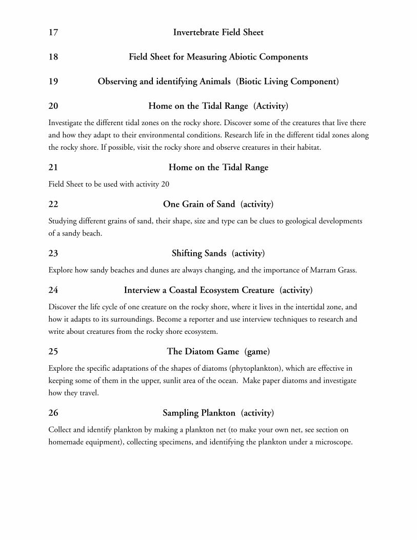
17 Invertebrate Field Sheet
18 Field Sheet for Measuring Abiotic Components
19 Observing and identifying Animals (Biotic Living Component)
20 Home on the Tidal Range (Activity)
Investigate the different tidal zones on the rocky shore. Discover some of the creatures that live there
and how they adapt to their environmental conditions. Research life in the different tidal zones along
the rocky shore. If possible, visit the rocky shore and observe creatures in their habitat.
21 Home on the Tidal Range
Field Sheet to be used with activity 20
22 One Grain of Sand (activity)
Studying different grains of sand, their shape, size and type can be clues to geological developments
of a sandy beach.
23 Shifting Sands (activity)
Explore how sandy beaches and dunes are always changing, and the importance of Marram Grass.
24 Interview a Coastal Ecosystem Creature (activity)
Discover the life cycle of one creature on the rocky shore, where it lives in the intertidal zone, and
how it adapts to its surroundings. Become a reporter and use interview techniques to research and
write about creatures from the rocky shore ecosystem.
25 The Diatom Game (game)
Explore the specific adaptations of the shapes of diatoms (phytoplankton), which are effective in
keeping some of them in the upper, sunlit area of the ocean. Make paper diatoms and investigate
how they travel.
26 Sampling Plankton (activity)
Collect and identify plankton by making a plankton net (to make your own net, see section on
homemade equipment), collecting specimens, and identifying the plankton under a microscope.
27 Grow Your Own Plankton (experiment)
Explore how microscopic plants and small animals utilize organic material (plants and animals) for
their own use and how they recycle it back into the environment.
28 Algae Art - Make Your Own Seaweed Print (activity)
Learn about seaweed-holdfast, stripe, and blade. Compare seaweed with land plants. Investigate the
role seaweed plays in the rocky shore ecosystem. And discover its natural beauty by doing seaweed
prints. Discuss the role seaweed plays in the rocky shore ecosystem. Observe and collect some sea-
weed. Make seaweed prints and compare what you see with land plants.
29 Blanc-Mange Pudding - Are You Eating Seaweed Again? (Activity)
Discover how people use seaweed and make your own tasty seaweed treat. Investigate the many uses
of seaweed and discover how important seaweed is to people. Make Blanc-Mange Pudding.
30 In the Salt Marsh (activity)
Studying the importance of Cord Grass in the salt marsh.
33 My Shell is My Skeleton - Field Sheet (activity sheet)
Studying creatures with shells.
34 Barnacle Bill (activity)
Watch how a barnacle feeds and discover how it adapts to staying put and drying out at low tide. At
low tide collect a small rock covered in barnacles, put it in a bucket of seawater, and watch how
barnacles feed. Make some notes on how barnacles adapt to life at sea.
35 Clamming Up (activity)
Explore three different types of clams (Razor Clams, Quahaugs, and Soft-shelled Clams) and how
they adapt to life in sandbars and estuary mudflats. Discover how they feed, move, and protect
themselves from predators and changes in the salinity of the water. Collect, sort, classify, and iden-
tify shells and clams. Do an experiment to investigate filter feeding.
36 Clamming Up - Field Sheet (activity)
To use with activity 35.
37 To Drink or not to drink (experiment)
Learn how osmosis works on fish in saltwater and freshwater by using raisins in salt water and in
fresh water.
38 Field Sheet for Measuring Abiotic and Biotic Factors Controlling IntertidalDistribution
40 Water Webs in Action (game)
Find out how animals are interconnected by their feeding relationships and how toxins affect the
food chain.
41 The Tide Pool Community (activity sheet)
Investigate creatures living in a tide pool and their interactions with one another.
42 Getting Out of a Bind (activity)
Teach empathy for wildlife by simulating an animal’s entanglement in plastic litter. With your hand
wrapped in a plastic six-pack ring, try to free it without using your other hand.
43 Litter Can Be Deadly (activity)
Investigate how harmful litter can be in a marine ecosystem and what we can do to prevent this
harm.
44 A Public Hearing on Old-growth Underwater Forests (activity)
Role-play a local community meeting concerned about the potential of rockweed harvesting along a
rocky shore.
45 Sharing a Coastal Ecosystem With Others (activity)
Create a piece of poetry or prose for your own personal travel guide about the rocky shore. Make a
poster about the rocky shore ecosystem.
46 Farming from the Sea - Setting up an Aquaculture Station (activity)
Investigate the procedures involved in setting up and tending an aquaculture station.
THE MODULES
MODULE 1 INTRODUCTION
The Introductory Module is a companion to the other modules. It describes in general the ecology of
the coastal zone and the different ecosystems found throughout the Atlantic Provinces. It also pro-
vides the (biological and ecological) background information necessary to understand the other
modules, and how the ecosystems are linked together. For example, knowledge of tides in general is
essential to understand what influence tidal changes have on one particular ecosystem.
A) LEARNING OBJECTIVES
♦ With the help of this module you will be able to:
♦ Define a coastal ecosystem.
♦ Explain how they are formed.
♦ Describe the physical and chemical characteristics of coastal ecosystems.
♦ Classify marine life.
♦ List 5 species that live in coastal ecosystems.
♦ Compare and contrast the adaptations of animals and plants to stresses by giving specific exam-
ples from each group (fish, birds, mollusks, birds, worms, and crustaceans.
♦ Demonstrate how nutrients are recycled with a diagram.
♦ Illustrate a food chain in a coastal ecosystem.
♦ Explain how coastal ecosystems are connected via the exchange of energy, water, sediment, nutri-
ents etc.
B) STUDY QUESTIONS
1. What is the coastal zone?
2. What are the most important abiotic factors in the coastal zone?
3. What does the change in sea level refer to?
4. What are cold and hold currents? What are their influences on life in the coastal zone?
5. What does ice do to coastal ecosystems?
6. How do tides work? (Show with a flashlight and other objects) Why are tides higher in the
spring?
7. Explain and describe the difference between a constructive and a destructive wave?
8. What is upwelling?
9. What is the benthic zone? Who lives in the benthic zone? What is the Pelagic zone? Who lives
there?
10. Why are seaweed so important?
11. What is a mollusk? Describe the different mollusks.

12. How are nutrients transported into the coastal zone?
13. Why is the ocean salty?
14. What is osmosis? Describe the composition of salt in the ocean. What can salt do to animals?
How are they adapted to salt? (Use activity 37 to explain osmosis.)
15. What kinds of problems can be found in coastal ecosystems?
16. Why are coastal ecosystems important for humans?
C) SUGGESTED ACTIVITIES
Consult the matrix in section 2 for the list of activities recommended for this module.

MODULE 2 TO THE HORIZON - THE NEARSHORE
Stand on any seashore and look towards the sea to the horizon. What you see is an area called the
nearshore. It’s also known as the shallow subtidal. It begins at the low tide mark and continues
offshore to the 30-metre depth contour. The nearshore also defines what is known as the euphotic
zone, or the depth through which light can reach and plants grow (as defined for the purpose of this
guide).
A) LEARNING OBJECTIVES
With this module you will be able to:
♦ Define the nearshore and describe where it is found.
♦ Explain the formation of the nearshore.
♦ List 5 physical characteristics.
♦ Define zonation in the nearshore.
♦ List 5 species that live in the nearshore.
♦ Compare and contrast the types of plankton and seaweed.
♦ Compare and contrast some of the adaptations of animal and plants by giving specific examples
from each group (fish, birds, mollusks, birds, worms, and crustaceans.
♦ Illustrate a food chain for this ecosystem.
♦ Explain how we use the nearshore.
♦ Describe some of the environmental problems the nearshore.
♦ Explain how we can protect this ecosystem.
B) STUDY QUESTIONS
1. How far out does the nearshore extend out into the ocean?
2. What is its the maximum depth?
3. When is there the greatest amount of nutrients in the nearshore? What are these nutrients?
4. What are the limiting factors that control the abundance of life in this ecosystem?
5. Explain the importance of plankton? Describe the two main groups of plankton? Grow your own
plankton (see activity 27).
6. Do our jellyfish sting?
7. What is a seaweed? Where do they live and why are they different from terrestrial plants? Why are
they important?
8. What are the adaptations of plants and animals (fish, birds, mollusks, worms, and crustaceans) in
the nearshore with examples from each family?
9. Who lives typically in this ecosystem? What are the different zones called? Give specific examples
from each group: fish, birds, mollusks, worms, crustaceans, insects and plants.
10. What are the commercially important fish found in the nearshore?
11. What are some of the birds that spend most of their time at sea?
12. Whales: What do they eat, where do they live? Describe the two groups of whales.
13. What does ‘nursery’ mean? Give at least one example.
14. What is the importance of the nearshore for humans?
15. What are the biggest problems in the nearshore?
16. Describe the decline and even the disappearance of some our seabirds.
17. What reptile is endangered in the Northumberland Strait?
18. How can we ensure that some of the most productive areas are protected?
C) SUGGESTED ACTIVITIES
Consult the matrix in section 2 for the list of activities recommended for this module.
MODULE 3 ESTUARIES
Estuaries are transition zones between a river and the sea. They are semi-enclosed by land and open
directly onto the ocean. Inside an estuary, saltwater is measurably diluted by the freshwater flowing
into the estuary from nearby rivers and brooks. This fluctuation in salinity provides a unique set of
circumstances for the creatures living in or visiting the estuary ecosystem.
A) LEARNING OBJECTIVES
With this module you will able to:
♦ Define an estuary.
♦ Explain how they are formed.
♦ Describe the physical characteristics of an estuary.
♦ Describe where different species live in this ecosystem.
♦ Compare and contrast some of the adaptations of animal and plant by giving specific examples
from each group (fish, birds, mollusk, birds, worms, crustaceans.
♦ Illustrate a food chain for this ecosystem.
♦ Explain how we use estuaries.
♦ Describe some of the environmental problems in this ecosystem.
♦ Explain how we can protect this ecosystem.
B) STUDY QUESTIONS
1. Where does the estuary begin and end?
2. Describe the characteristics of an estuary, especially salinity? What is a salt wedge?
3. What is Eelgrass? What is it’s importance in an estuary? Where does it grow?
4. What are the adaptations of animals and plants (fish, birds, mollusk, birds, worms, and crusta-
ceans) in the estuary for each group.
5. What are crustaceans? How does a lobster move?
6. How do worms feed? Give some examples.
7. Fish: What does catadromous and anadramous mean? What fish use estuaries and how?
8. Why are estuaries important for humans?
9. What are the effects of pollution and habitat destruction in estuaries?
10. What is bacterial and chemical contamination? What is the ‘red tide’?
11. What is the relationship between Brant and Brantville? Describe the history of Brants.
12. Aquaculture: What is it? What species do we use? Why is aquaculture becoming more and more
important? What are the problems?
13. How can we protect estuaries from degradation?
C) SUGGESTED ACTIVITIES
Consult the matrix in section 2 for the list of activities recommended for this module.

MODULE 4 SALT MARSHES
Salt marshes are transition zones between the land and the sea. They’re generally in low-lying coastal
areas, exposed to the daily actions of the tides. They provide a unique environment for communities
of organisms, mainly plants that are tolerant of the specific salt marsh conditions.
A) LEARNING OBJECTIVES
With this module you will be able to:
♦ Define a salt marsh.
♦ Describe how they are formed.
♦ List 5 physical characteristics of salt marsh.
♦ List 5 of the species that live in the salt marsh.
♦ Compare and contrast some of the animal and plant adaptations by giving specific examples
from each group (fish, birds, mollusks, birds, worms, and crustaceans.
♦ Illustrate a food chain for this ecosystem.
♦ Explain how we used and use the salt marsh.
♦ Describe some of the environmental problems in the salt marsh.
♦ Explain how we can protect this ecosystem.
B) STUDY QUESTIONS
1. Why do people dislike salt marshes?
2. Where is the salt marsh nearest you?
3. What is the relationship between mudflats and salt marshes?
4. How do animals and plants (fish, birds, mollusk, birds, worms, crustaceans) adapt to live if the
salt marsh?
5. Who lives typically in this ecosystem (fish, birds, mollusk, birds, worms, and crustaceans)?
6. What is migration for birds, and why are salt marshes important at this stage? Why is food so
important during migration? Where did the birds come from? Where are they going?
7. What is productivity? Why is productivity high in a salt marsh? Where does the odor of rotten
eggs come from?
8. Why is the salt marsh important for plants and animals?
9. Are salt marshes an endangered space? Explain your answer.
10. How are mudflats linked with salt marshes?
11. What is an ‘algal mat’?
12. What are ‘pannes’?
13. Why are salt marshes important to humans?
C) SUGGESTED ACTIVITIES
Consult the matrix in section 2 for the list of activities recommended for this module.
MODULE 5 TIDAL MUDFLATS
Mudflats are, as the name suggests, flat areas mostly comprised of mud. Mudflats are usually associ-
ated with marine environments, especially in situations where tides expose a large expanse of shore.
The shore must be a gently sloping intertidal area, consisting primarily of fine sediments (0.07 mm
in diameter).
A) LEARNING OBJECTIVES
With this module you will be able to:
♦ Define a tidal mudflat.
♦ Explain how they are formed.
♦ List 5 physical characteristics.
♦ Describe zonation.
♦ Compare and contrast the animal and plant adaptations by giving specific examples from each
group (fish, birds, mollusks, birds, worms, and crustaceans.
♦ Illustrate a food chain for this ecosystem.
♦ Explain how we used and use mudflats.
♦ Describe some of environmental problems in this ecosystem.
♦ Explain how we can protect this ecosystem.
B) STUDY QUESTIONS
1. Where is the greatest concentration of mudflats found in Atlantic Canada?
2. Where is the nearest mudflat found near you?
3. Why do mudflat sediments tend to stick together?
4. What are the factors controlling zonation in a mudflat? What is zonation?
5. How are animals and plants adapted to life in the mudflat? Give specific examples from each
group (fish, birds, mollusks, birds, worms, and crustaceans).
6. Why are mudflats important for shorebirds?
7. Is productivity high or low in a mudflat? Why is this important?
8. How are mudflats linked to other coastal ecosystems?
9. What are the biggest threats to marine worms in mudflats?
10. How can we protect mudflats?
C) SUGGESTED ACTIVITIES
Consult the matrix in section 2 for the list of activities recommended for this module.
MODULE 6 SANDY BEACHES AND DUNES
Sandy beaches are stretches of land covered by loose material (sand), exposed to and shaped by waves
and wind. Dunes associated with beaches are hills or ridges of sand that have been shaped by the
wind.
A) LEARNING OBJECTIVES
With this module you will be able to:
♦ Define a sandy beach and a dune.
♦ Explain how beaches and dunes are formed.
♦ List 5 physical characteristics.
♦ Compare and contrast the different living conditions for beach organisms in the intertidal zone
versus in the sand dune.
♦ Compare and contrast the animal and plant adaptations in this ecosystem.
♦ Illustrate a food chain for this ecosystem.
♦ Explain how we use this ecosystem.
♦ Describe the environmental problems found in this ecosystem.
♦ How can we protect this ecosystem.
B) STUDY QUESTIONS
1. What is a sandy beach?
2. Where do we find sandy beaches in Atlantic Canada ?
3. What are the different zones on a sandy beach? Draw a sketch of a sandy beach to show the
following: sandflat, intertidal, nearshore, mudflat, high tide mark, low tide mark, primary dune,
secondary dune and the lagoon.
4. How are dunes formed?
5. What are the characteristics of a dune?
6. How are animals and plants adapted to the sandy beach environment. Give specific examples
from each group (fish, birds, mollusks, birds, worms, crustaceans).
7. Why are the dunes of Miscou or Pomquet special?
8. What is ‘Marram Grass’ and why is it important?
9. What is a ‘Common Moon Snail’?
10. What is a ‘Mermaid’s Purse’?
11. What is ‘meiofauna’?
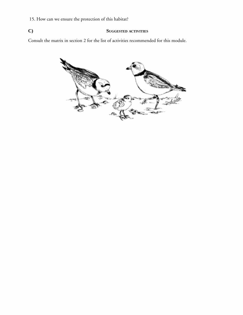
12. What is the Piping Plover and where does it live? What does it eat? Where does it nest? What
does it look like? Why is it endangered?
13. What does ‘habitat destruction’ mean in relation to the beach? What are some of the conse-
quences?
14. Describe the problems that occur on sandy beaches?
15. How can we ensure the protection of this habitat?
C) SUGGESTED ACTIVITIES
Consult the matrix in section 2 for the list of activities recommended for this module.
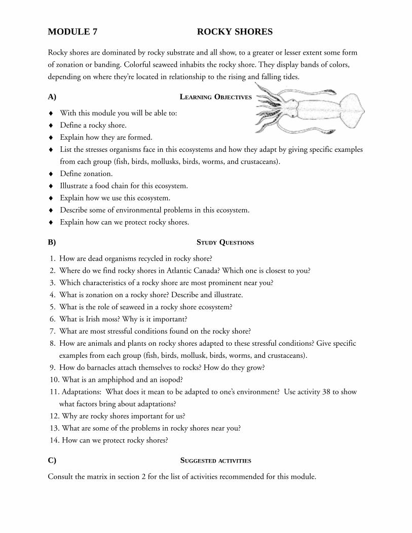
MODULE 7 ROCKY SHORES
Rocky shores are dominated by rocky substrate and all show, to a greater or lesser extent some form
of zonation or banding. Colorful seaweed inhabits the rocky shore. They display bands of colors,
depending on where they’re located in relationship to the rising and falling tides.
A) LEARNING OBJECTIVES
♦ With this module you will be able to:
♦ Define a rocky shore.
♦ Explain how they are formed.
♦ List the stresses organisms face in this ecosystems and how they adapt by giving specific examples
from each group (fish, birds, mollusks, birds, worms, and crustaceans).
♦ Define zonation.
♦ Illustrate a food chain for this ecosystem.
♦ Explain how we use this ecosystem.
♦ Describe some of environmental problems in this ecosystem.
♦ Explain how can we protect rocky shores.
B) STUDY QUESTIONS
1. How are dead organisms recycled in rocky shore?
2. Where do we find rocky shores in Atlantic Canada? Which one is closest to you?
3. Which characteristics of a rocky shore are most prominent near you?
4. What is zonation on a rocky shore? Describe and illustrate.
5. What is the role of seaweed in a rocky shore ecosystem?
6. What is Irish moss? Why is it important?
7. What are most stressful conditions found on the rocky shore?
8. How are animals and plants on rocky shores adapted to these stressful conditions? Give specific
examples from each group (fish, birds, mollusk, birds, worms, and crustaceans).
9. How do barnacles attach themselves to rocks? How do they grow?
10. What is an amphiphod and an isopod?
11. Adaptations: What does it mean to be adapted to one’s environment? Use activity 38 to show
what factors bring about adaptations?
12. Why are rocky shores important for us?
13. What are some of the problems in rocky shores near you?
14. How can we protect rocky shores?
C) SUGGESTED ACTIVITIES
Consult the matrix in section 2 for the list of activities recommended for this module.
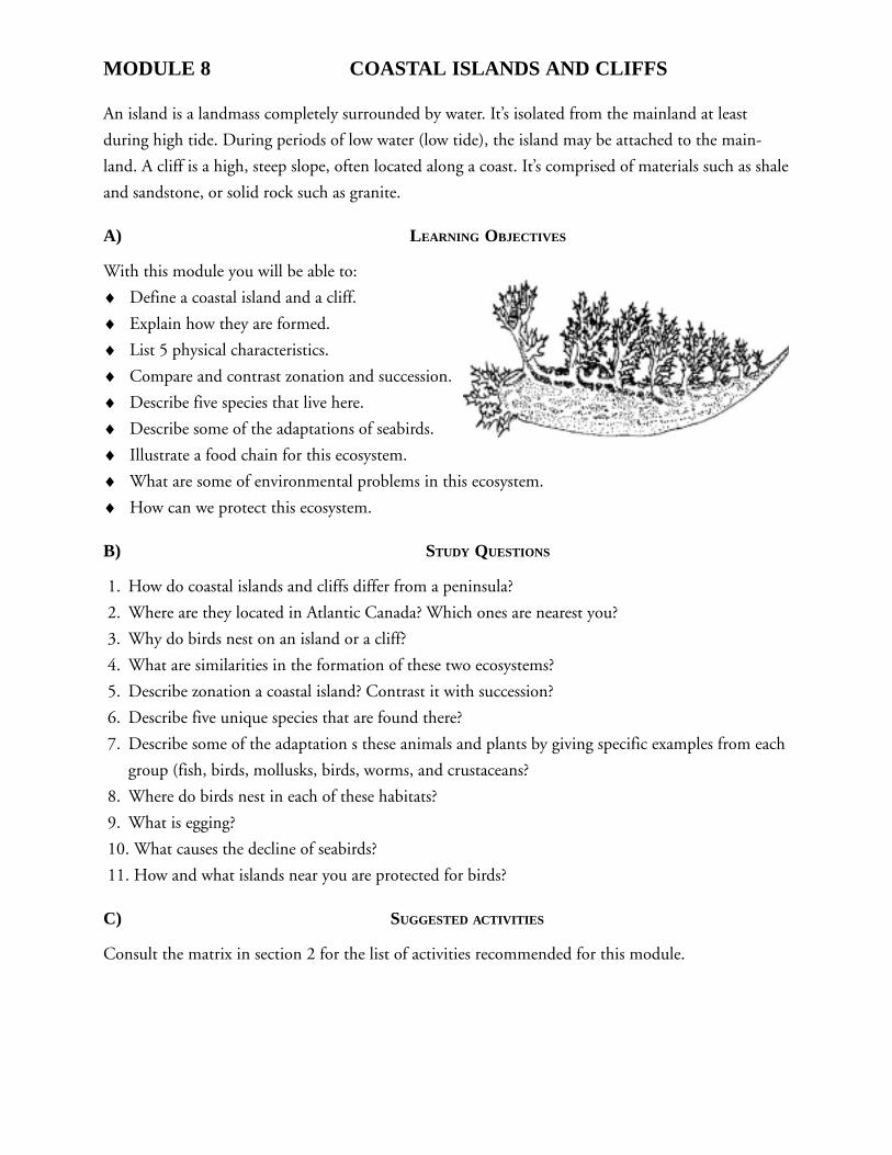
MODULE 8 COASTAL ISLANDS AND CLIFFS
An island is a landmass completely surrounded by water. It’s isolated from the mainland at least
during high tide. During periods of low water (low tide), the island may be attached to the main-
land. A cliff is a high, steep slope, often located along a coast. It’s comprised of materials such as shale
and sandstone, or solid rock such as granite.
A) LEARNING OBJECTIVES
With this module you will be able to:
♦ Define a coastal island and a cliff.
♦ Explain how they are formed.
♦ List 5 physical characteristics.
♦ Compare and contrast zonation and succession.
♦ Describe five species that live here.
♦ Describe some of the adaptations of seabirds.
♦ Illustrate a food chain for this ecosystem.
♦ What are some of environmental problems in this ecosystem.
♦ How can we protect this ecosystem.
B) STUDY QUESTIONS
1. How do coastal islands and cliffs differ from a peninsula?
2. Where are they located in Atlantic Canada? Which ones are nearest you?
3. Why do birds nest on an island or a cliff?
4. What are similarities in the formation of these two ecosystems?
5. Describe zonation a coastal island? Contrast it with succession?
6. Describe five unique species that are found there?
7. Describe some of the adaptation s these animals and plants by giving specific examples from each
group (fish, birds, mollusks, birds, worms, and crustaceans?
8. Where do birds nest in each of these habitats?
9. What is egging?
10. What causes the decline of seabirds?
11. How and what islands near you are protected for birds?
C) SUGGESTED ACTIVITIES
Consult the matrix in section 2 for the list of activities recommended for this module.
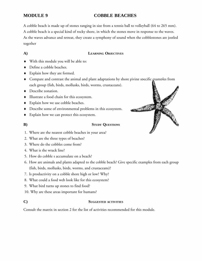
MODULE 9 COBBLE BEACHES
A cobble beach is made up of stones ranging in size from a tennis ball to volleyball (64 to 265 mm).
A cobble beach is a special kind of rocky shore, in which the stones move in response to the waves.
As the waves advance and retreat, they create a symphony of sound when the cobblestones are jostled
together
A) LEARNING OBJECTIVES
♦ With this module you will be able to:
♦ Define a cobble beaches.
♦ Explain how they are formed.
♦ Compare and contrast the animal and plant adaptations by shore giving specific examples from
each group (fish, birds, mollusks, birds, worms, crustaceans).
♦ Describe zonation.
♦ Illustrate a food chain for this ecosystem.
♦ Explain how we use cobble beaches.
♦ Describe some of environmental problems in this ecosystem.
♦ Explain how we can protect this ecosystem.
B) STUDY QUESTIONS
1. Where are the nearest cobble beaches in your area?
2. What are the three types of beaches?
3. Where do the cobbles come from?
4. What is the wrack line?
5. How do cobble s accumulate on a beach?
6. How are animals and plants adapted to the cobble beach? Give specific examples from each group
(fish, birds, mollusks, birds, worms, and crustaceans)?
7. Is productivity on a cobble shore high or low? Why?
8. What could a food web look like for this ecosystem?
9. What bird turns up stones to find food?
10. Why are these areas important for humans?
C) SUGGESTED ACTIVITIES
Consult the matrix in section 2 for the list of activities recommended for this module.
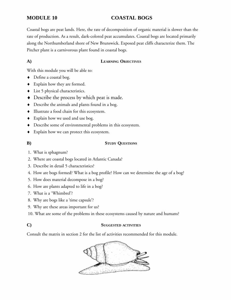
MODULE 10 COASTAL BOGS
Coastal bogs are peat lands. Here, the rate of decomposition of organic material is slower than the
rate of production. As a result, dark-colored peat accumulates. Coastal bogs are located primarily
along the Northumberland shore of New Brunswick. Exposed peat cliffs characterize them. The
Pitcher plant is a carnivorous plant found in coastal bogs.
A) LEARNING OBJECTIVES
With this module you will be able to:
♦ Define a coastal bog.
♦ Explain how they are formed.
♦ List 5 physical characteristics.
♦ Describe the process by which peat is made.♦ Describe the animals and plants found in a bog.
♦ Illustrate a food chain for this ecosystem.
♦ Explain how we used and use bog.
♦ Describe some of environmental problems in this ecosystem.
♦ Explain how we can protect this ecosystem.
B) STUDY QUESTIONS
1. What is sphagnum?
2. Where are coastal bogs located in Atlantic Canada?
3. Describe in detail 5 characteristics?
4. How are bogs formed? What is a bog profile? How can we determine the age of a bog?
5. How does material decompose in a bog?
6. How are plants adapted to life in a bog?
7. What is a ‘Whimbrel’?
8. Why are bogs like a ‘time capsule’?
9. Why are these areas important for us?
10. What are some of the problems in these ecosystems caused by nature and humans?
C) SUGGESTED ACTIVITIES
Consult the matrix in section 2 for the list of activities recommended for this module.
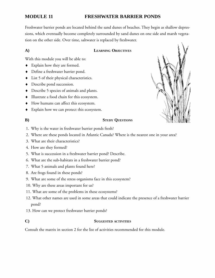
MODULE 11 FRESHWATER BARRIER PONDS
Freshwater barrier ponds are located behind the sand dunes of beaches. They begin as shallow depres-
sions, which eventually become completely surrounded by sand dunes on one side and marsh vegeta-
tion on the other side. Over time, saltwater is replaced by freshwater.
A) LEARNING OBJECTIVES
With this module you will be able to:
♦ Explain how they are formed.
♦ Define a freshwater barrier pond.
♦ List 5 of their physical characteristics.
♦ Describe pond succession.
♦ Describe 5 species of animals and plants.
♦ Illustrate a food chain for this ecosystem.
♦ How humans can affect this ecosystem.
♦ Explain how we can protect this ecosystem.
B) STUDY QUESTIONS
1. Why is the water in freshwater barrier ponds fresh?
2. Where are these ponds located in Atlantic Canada? Where is the nearest one in your area?
3. What are their characteristics?
4. How are they formed?
5. What is succession in a freshwater barrier pond? Describe.
6. What are the sub-habitats in a freshwater barrier pond?
7. What 5 animals and plants found here?
8. Are frogs found in these ponds?
9. What are some of the stress organisms face in this ecosystem?
10. Why are these areas important for us?
11. What are some of the problems in these ecosystems?
12. What other names are used in some areas that could indicate the presence of a freshwater barrier
pond?
13. How can we protect freshwater barrier ponds?
C) SUGGESTED ACTIVITIES
Consult the matrix in section 2 for the list of activities recommended for this module.
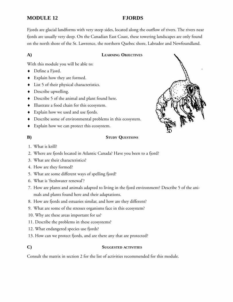
MODULE 12 FJORDS
Fjords are glacial landforms with very steep sides, located along the outflow of rivers. The rivers near
fjords are usually very deep. On the Canadian East Coast, these towering landscapes are only found
on the north shore of the St. Lawrence, the northern Quebec shore, Labrador and Newfoundland.
A) LEARNING OBJECTIVES
With this module you will be able to:
♦ Define a Fjord.
♦ Explain how they are formed.
♦ List 5 of their physical characteristics.
♦ Describe upwelling.
♦ Describe 5 of the animal and plant found here.
♦ Illustrate a food chain for this ecosystem.
♦ Explain how we used and use fjords.
♦ Describe some of environmental problems in this ecosystem.
♦ Explain how we can protect this ecosystem.
B) STUDY QUESTIONS
1. What is krill?
2. Where are fjords located in Atlantic Canada? Have you been to a fjord?
3. What are their characteristics?
4. How are they formed?
5. What are some different ways of spelling fjord?
6. What is ‘freshwater renewal’?
7. How are plants and animals adapted to living in the fjord environment? Describe 5 of the ani-
mals and plants found here and their adaptations.
8. How are fjords and estuaries similar, and how are they different?
9. What are some of the stresses organisms face in this ecosystem?
10. Why are these areas important for us?
11. Describe the problems in these ecosystems?
12. What endangered species use fjords?
13. How can we protect fjords, and are there any that are protected?
C) SUGGESTED ACTIVITIES
Consult the matrix in section 2 for the list of activities recommended for this module.
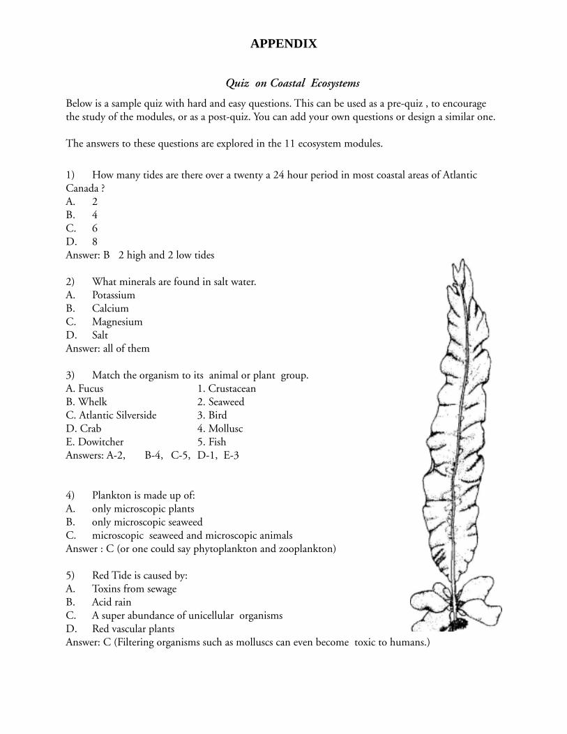
APPENDIX
Quiz on Coastal Ecosystems
Below is a sample quiz with hard and easy questions. This can be used as a pre-quiz , to encouragethe study of the modules, or as a post-quiz. You can add your own questions or design a similar one.
The answers to these questions are explored in the 11 ecosystem modules.
1) How many tides are there over a twenty a 24 hour period in most coastal areas of AtlanticCanada ?A. 2B. 4C. 6D. 8Answer: B 2 high and 2 low tides
2) What minerals are found in salt water.A. PotassiumB. CalciumC. MagnesiumD. SaltAnswer: all of them
3) Match the organism to its animal or plant group.A. Fucus 1. CrustaceanB. Whelk 2. SeaweedC. Atlantic Silverside 3. BirdD. Crab 4. MolluscE. Dowitcher 5. FishAnswers: A-2, B-4, C-5, D-1, E-3
4) Plankton is made up of:A. only microscopic plantsB. only microscopic seaweedC. microscopic seaweed and microscopic animalsAnswer : C (or one could say phytoplankton and zooplankton)
5) Red Tide is caused by:A. Toxins from sewageB. Acid rainC. A super abundance of unicellular organismsD. Red vascular plantsAnswer: C (Filtering organisms such as molluscs can even become toxic to humans.)
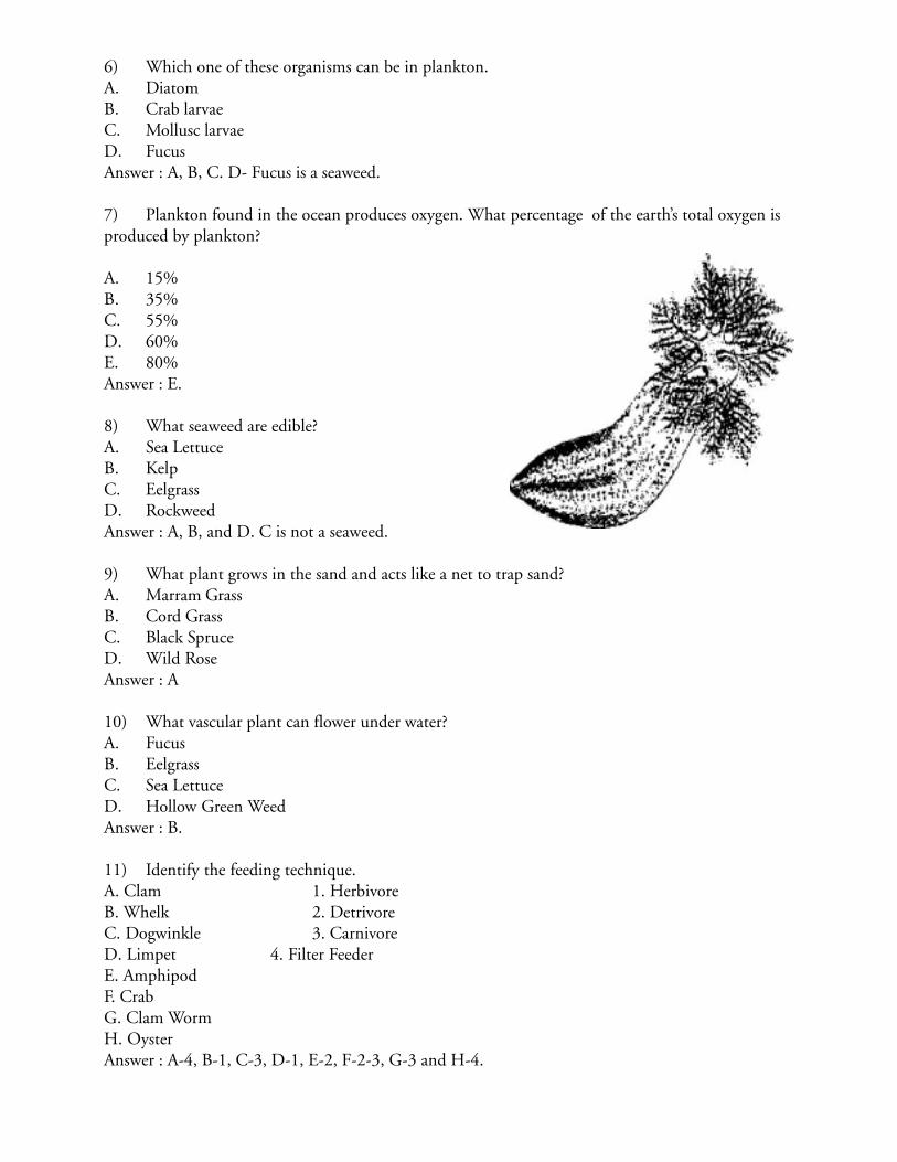
6) Which one of these organisms can be in plankton.A. DiatomB. Crab larvaeC. Mollusc larvaeD. FucusAnswer : A, B, C. D- Fucus is a seaweed.
7) Plankton found in the ocean produces oxygen. What percentage of the earth’s total oxygen isproduced by plankton?
A. 15%B. 35%C. 55%D. 60%E. 80%Answer : E.
8) What seaweed are edible?A. Sea LettuceB. KelpC. EelgrassD. RockweedAnswer : A, B, and D. C is not a seaweed.
9) What plant grows in the sand and acts like a net to trap sand?A. Marram GrassB. Cord GrassC. Black SpruceD. Wild RoseAnswer : A
10) What vascular plant can flower under water?A. FucusB. EelgrassC. Sea LettuceD. Hollow Green WeedAnswer : B.
11) Identify the feeding technique.A. Clam 1. HerbivoreB. Whelk 2. DetrivoreC. Dogwinkle 3. CarnivoreD. Limpet 4. Filter FeederE. AmphipodF. CrabG. Clam WormH. OysterAnswer : A-4, B-1, C-3, D-1, E-2, F-2-3, G-3 and H-4.
12) What two species of herons nest in Atlantic Canada?A. Black-crowned Night HeronB. Great Blue HeronC. Snowy EgretD. Little Blue HeronAnswer : A & B
13) What shorebird is in danger of becoming extinct?A. Piping PloverB. American WidgeonC. KilldeerD. Semi-palmated PloverAnswer : A
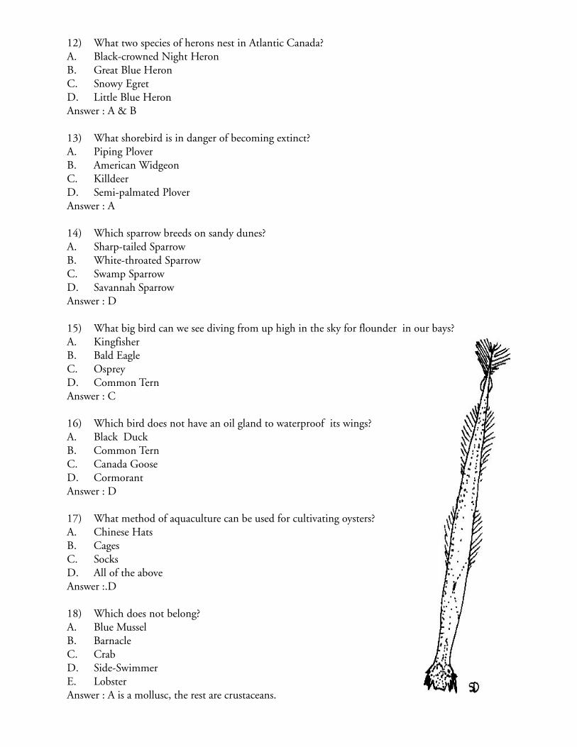
14) Which sparrow breeds on sandy dunes?A. Sharp-tailed SparrowB. White-throated SparrowC. Swamp SparrowD. Savannah SparrowAnswer : D
15) What big bird can we see diving from up high in the sky for flounder in our bays?A. KingfisherB. Bald EagleC. OspreyD. Common TernAnswer : C
16) Which bird does not have an oil gland to waterproof its wings?A. Black DuckB. Common TernC. Canada GooseD. CormorantAnswer : D
17) What method of aquaculture can be used for cultivating oysters?A. Chinese HatsB. CagesC. SocksD. All of the aboveAnswer :.D
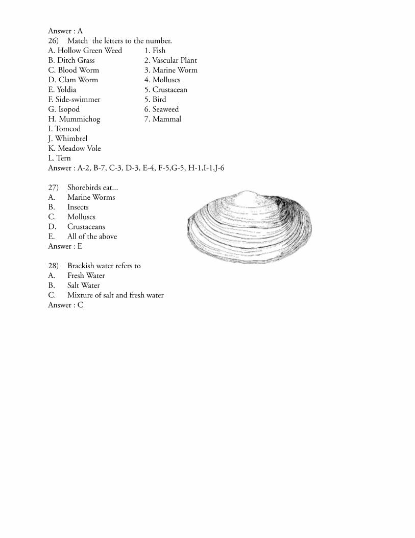
18) Which does not belong?A. Blue MusselB. BarnacleC. CrabD. Side-SwimmerE. LobsterAnswer : A is a mollusc, the rest are crustaceans.
19) Identify the species by its means of attachment.A. Byssal threads 1. BarnacleB. Muscular foot 2. LimpetC. Tube feet 3. MusselD. Glue 4. Star FishE. Seaweed 5. HoldfastAnswer :A-3, B-2, C-4, D-1, E-5.
20) Which ones are molluscs?A. Baltic MacomaB. ChitonC. OctopusD. Hudsonian GodwhitAnswer : A, B, & C,. D is a bird.
21) Barnacles belongs to what family?A. Sea UrchinsB. LobsterC. ClamAnswer : B
22) What fish lays its eggs in the Sargasso Sea, near the Bahamas and returns to our coastline tofeed?A. FlounderB. Atlantic SalmonC. American EelD. TroutAnswer :C
23) What fish can change colour?A. American EelB. GaspareauC. TroutD. FlounderAnswer: D
24) What fish enters estuaries to spawn upriver?A. SalmonB. TroutC. GaspareauD. Striped BassE. American EelAnswer : A, B, C, & D
25) Which marine mammal is extirpated from our region?A. WalrusB. Blue WhaleC. OrcaD. Atlantic Silverside
Answer : A26) Match the letters to the number.A. Hollow Green Weed 1. FishB. Ditch Grass 2. Vascular PlantC. Blood Worm 3. Marine WormD. Clam Worm 4. MolluscsE. Yoldia 5. CrustaceanF. Side-swimmer 5. BirdG. Isopod 6. SeaweedH. Mummichog 7. MammalI. TomcodJ. WhimbrelK. Meadow VoleL. TernAnswer : A-2, B-7, C-3, D-3, E-4, F-5,G-5, H-1,I-1,J-6
27) Shorebirds eat...A. Marine WormsB. InsectsC. MolluscsD. CrustaceansE. All of the aboveAnswer : E
28) Brackish water refers toA. Fresh WaterB. Salt WaterC. Mixture of salt and fresh waterAnswer : C


![Society of Canadian Limnologists (SCL) Annual Meeting · Programme Chair: David Scruton [ScrutonD@dfo-mpo.gc.ca] Secretary-Treasurer: Andrew Cooper [coopera@dfo-mpo.gc.ca] Local](https://img.pdfslide.us/doc/110x75/6061eb7624c8d60a0a40d9a6/society-of-canadian-limnologists-scl-annual-programme-chair-david-scruton-scrutonddfo-mpogcca.jpg)