Embed Size (px)
Citation preview

BY-
JAY PA
TEL(
130110105027)
AAKASH PATE
L
(130110105001)
URVISH S
ONI(130110105059)
GU
IDED
BY:D
R.
K
PRIY
AN
&PR
OF.
SN
EHAL
POPLI
C IVI L
& S
TRUCTU
RAL EN
GG
DEPT
G H
PATEL C
OLLEG
E OF E
NG
G
&TECH
(011 ) ,
VALL ABH
V IDYAN
AGAR

GPS,G
IS A
ND
RS
INTRODUCTION TO GPS
Global Positioning System (GPS) is a satellite-based radio-positioning and timetransfer
system designed, financed, deployed, and operated by the U.S. Department of Defense.

WHAT ATTRACTS US TO GPS?
The relatively high positioning accuracies, from tens of metres down to the millimetre level.
The capability of determining velocity and time, to an accuracy commensurate with position.
The signals are available to users anywhere on the globe: in the air, on the ground, or at sea.
Its is a positioning system with no user charges, that simply requires the use of relatively low cost hardware.
It is an all-weather system, available 24 hours a day.
The position information is in three dimensions, that is, vertical as well as horizontal information is provided.

1.The Space Segment: comprising the satellites and the transmitted signals.
2. The Control Segment: the ground facilities carrying out the task of satellite tracking, orbit computations, telemetry and supervision necessary for the daily control of the space segment.
3.The User Segment: the entire spectrum of applications equipment and computational techniques that are available to the users.
Segments of GPS


THE SPACE SEGMENT
The Space Segment consists of the constellation of spacecraft and the signals broadcast by them which allow users to determine position, velocity and time.
The basic functions of the satellites are to:
1.Receive and store data transmitted by the Control Segment stations.
2. Maintain accurate time by means of several on-board
atomic clocks.

THE CONTROL SEGMENT
The Control Segment consists of facilities necessary for satellite health monitoring, telemetry, tracking, command and control, satellite orbit and clock data computations, and data up linking.
There are five ground facility stations: Hawaii, Colorado Springs, Ascension Island, are owned and operated by the U.S. Department of Defence .
Functions;
1.The operational control segment(OCS) tracks and maintains the satellite in space.
2.It updates the satellite clock corrections and other parameters essential for determination of use position, velocity and time.

MAP OF CONTROL STATIONS

The User SegmentThis provides
1.Navigation
2.Timing

THE SATELLITE CONSTELLITION
At an altitude of approximately 20,200km, a constellation of 24 satellites functioning…
This satellite constellition is sufficient to ensure that there will always be at least four satellites visible, at all unobstructed sites on the globe. Typically there are 6 to 10 satellites visible most of the day.
As the GPS satellites are in nearly circular orbits, at an altitude of approximately 20,200km above the Earth, this has a number of consequences:
Their orbital period is approximately 11hrs 58mins, so that each satellite makes two revolutions in one sidereal day (the period taken for the earth to complete one rotation about its axis with respect to the stars).
At the end of a sidereal day (23hrs 56mins in length) the satellites are again over the same
position on earth. The orbit groundtrack approximately repeats each day, except that there is a very
small drift of the orbital plane to the west which is arrested by periodic manoeuvres.
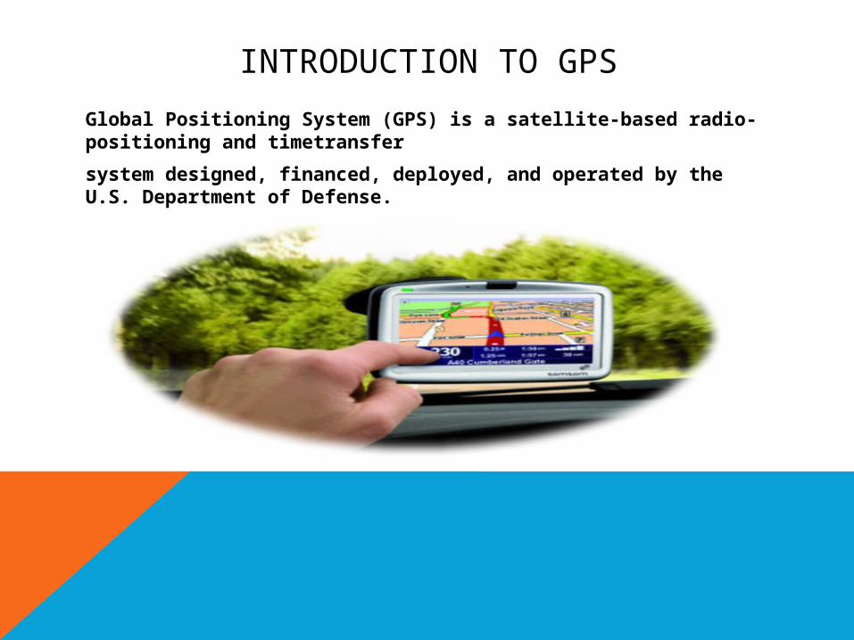
Satellites are deployed in six orbital planes at 60 degree intervals about the equator, with each containing four satellites. The satellites can be moved round their orbits if it becomes necessary to "cover" for a failed satellite. The orbital planes are inclined at an angle of 55 degree to the equatorial plane.
As the satellites are at an altitude of more than three times the earth's radius, a particular satellite may be above an observer's horizon for many hours, perhaps 6-7 hours or more in the one pass


Positioning using GPS.
VIDEO
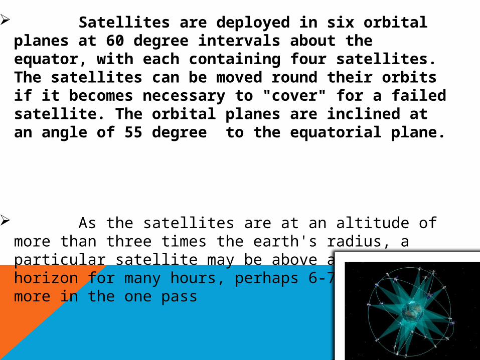
Applications of GPS(1)Navigation
(2)Surveying
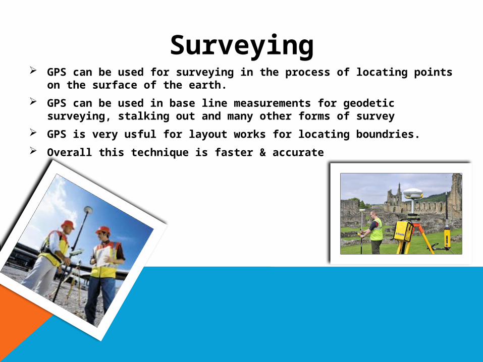
Surveying GPS can be used for surveying in the process of locating points on
the surface of the earth.
GPS can be used in base line measurements for geodetic surveying, stalking out and many other forms of survey
GPS is very usful for layout works for locating boundries.
Overall this technique is faster & accurate

Remote
sen
sing

Remote sensing is the acquisition of information about an object or phenomenon without making physical contact with the object.
In modern usage, the term generally refers to the use of aerial sensor technologies to detect and classify objects on Earth (both on the surface, and in the atmosphere and oceans) by means of propagated signals (e.g. electromagnetic radiation emitted from aircraft or satellites)
What's that?
There are two main types of remote sensing:
1.Active remote sensing 2.Active remote sensing
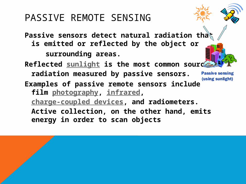
PASSIVE REMOTE SENSING
Passive sensors detect natural radiation that is emitted or reflected by the object or
surrounding areas.
Reflected sunlight is the most common source of radiation measured by passive sensors.
Examples of passive remote sensors include film photography, infrared, charge-coupled devices, and radiometers. Active collection, on the other hand, emits energy in order to scan objects
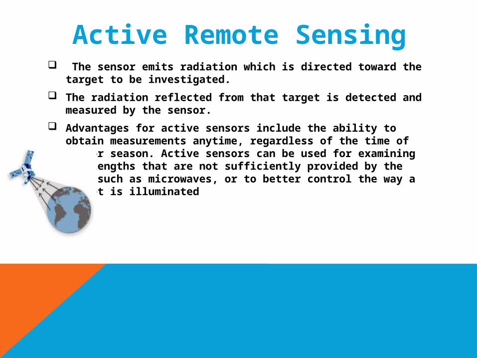
Active Remote Sensing The sensor emits radiation which is directed toward the
target to be investigated.
The radiation reflected from that target is detected and measured by the sensor.
Advantages for active sensors include the ability to obtain measurements anytime, regardless of the time of day or season. Active sensors can be used for examining wavelengths that are not sufficiently provided by the sun, such as microwaves, or to better control the way a target is illuminated

Geo
grap
hica
l
Info
rmat
ion
Syst
em
(GIS
)
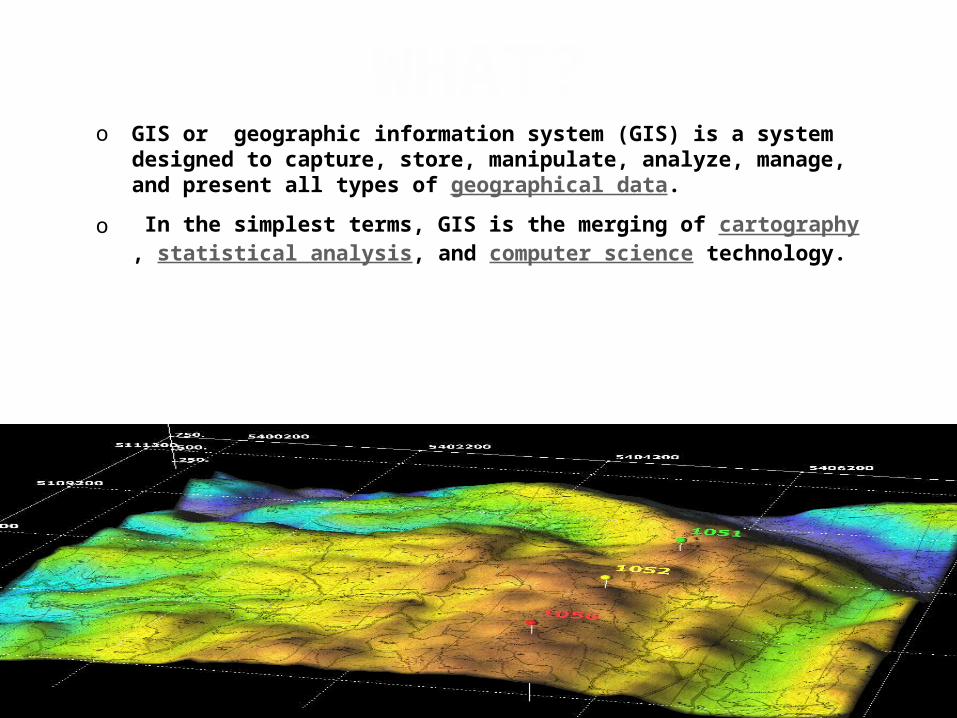
WHAT?o GIS or geographic information system (GIS) is a system
designed to capture, store, manipulate, analyze, manage, and present all types of geographical data.
o In the simplest terms, GIS is the merging of cartography, statistical analysis, and computer science technology.

Modern GIS technologies use digital information, for which various digitized data creation methods are used.
The most common method of data creation is digitization, where a hard copy map or survey plan is transferred into a digital medium through the use of a CAD program, and geo-referencing capabilities
APPLICATIONS
GIS is a relatively broad term, which can refer to a number of technologies and processes, so it is attached to many operations; in engineering, planning, management, transport/logistics and analysis.