Embed Size (px)
Citation preview
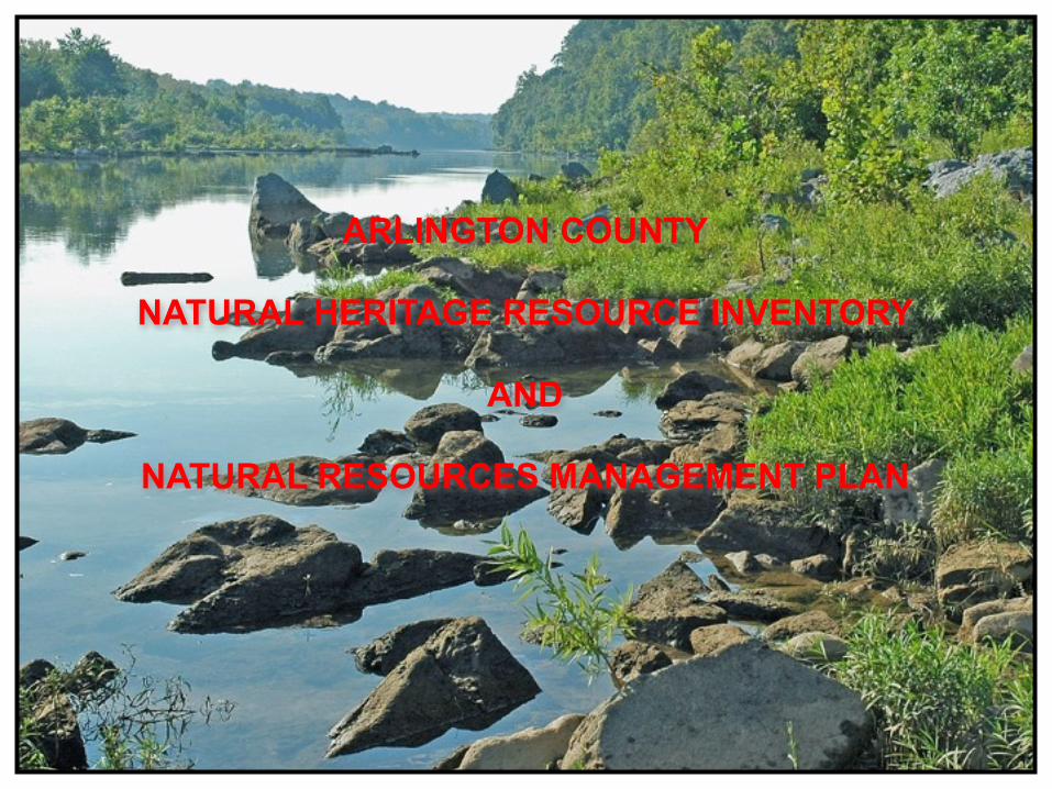
ARLINGTON COUNTY
NATURAL HERITAGE RESOURCE INVENTORY
AND
NATURAL RESOURCES MANAGEMENT PLAN

BACKGROUND…
PUBLIC SPACES MASTER PLAN (2005)
“CREATE A NATURAL RESOURCE INVENTORY AND TO DEVELOP AMANAGEMENT STRATEGY FOR NATURAL RESOURCE PROTECTION”
• Bring together various plans & practices to protect the County’s natural resources.• Develop a classification system of the various types of natural resources.• Define lines of authority & responsibilities among various agencies.• Create an additional GIS Layer to identify significant natural resources.

NATURAL HERITAGE RESOURCE INVENTORY:
LAYING THE GROUNDWORK…2005-2008
ARLINGTON’S FIRST COMPREHENSIVE NATURAL RESOURCE INVENTORY….
Partnership development…

WATER RESOURCES GEOLOGY
NATIVE FLORA TREE RESOURCES
INVASIVE PLANTS URBAN WILDLIFE
GIS
PROJECT ELEMENTS:

WATER RESOURCES…
STREAM MAPPING
SPRINGS AND SEEPS
CONSTRUCTED WETLANDSWETLANDS

GEOLOGICAL FEATURES…
SCENIC WATERFALLS
HIGH VALUE EXPOSURES
OUTCROPS
HISTORIC QUARRIES

NATIVE FLORA…
NATIVE FLORA
SPECIMEN PREPARATION
LOCALLY-RARE PLANTS
STATE-RARE PLANTS

NATIVE PLANT COMMUNITIES & TREE RESOURCES…
CHAMPION TREESSIGNIFICANT TREES
FOREST TYPESPLANT COMMUNITIES

INVASIVE PLANTS…
“Invasive plants representthe greatest current threatto the natural succession
of local native forestsin Arlington County”
FIVE-LEAVED AKEBIA
GOOSEBERRY
ENGLISH IVY
500 acres of parkland mapped…

URBAN WILDLIFE:LEPIDOPTERA AVIFAUNA
AMPHIBIANS
ODONATA
MAMMALSREPTILES

GEOGRAPHIC INFORMATION SYSTEM (GIS) …
Mapping Examples:
Native Plant Communities
Donaldson Run Park

WILDLIFE DISTRIBUTIONINVASIVE PLANT DISTRIBUTION
CHAMPION/SIGNIFICANT TREES SIGNIFICANT TREES OF C.F. SMITH PARK

PAST, PRESENT AND… WILDERNESS RURAL SUBURBAN URBAN
1760 1920 1950 1970
DEVELOPMENT HISTORY

40% IMPERVIOUS
50% LOSS OF SURFACE STREAMS
360 MILE STORM WATER SYSTEM
GENERAL OPEN SPACE – 18%
REMAINING NATURAL LANDS – 4.4%
26 SQ. MILES
POP. 206,800 (2008)
HIGH DEGREE OF SOIL DISTURBANCE
WIDESPREAD INVASIVE PLANTS
30% OF NATIVE PLANTS LOCALLY RARE (A1/2)
49% OF MAMMALS EXTIRPATED OR UNDOCUMENTED
75% SNAKES / SALAMANDERS EXTIRPATED,UNDOCUMENTED OR RARE
…FUTURE?
ARLINGTON COUNTY2010
…AT THE CROSSROADS…AT THE CROSSROADS…

What do we know andwhere do we go from here?
historical records provide the view of the past….a rich and diverse natural environment…
a review of the patterns of development and urbangrowth document a long period of environmental impact….
data collected through the Natural Heritage Resource Inventory have identified those remaining high value, including State and NationalChampion Trees, state-rare plants and globally-rare plant communities…
current plans, work processes and methodologies were analyzed…

PURPOSE AND SCOPE OF PLAN:
• CONTAINS 19 PRIMARY RECOMMENDATIONS.
• COLLECTIVELY, THESE RECOMMENDATIONS PROVIDE A LAYERED STRATEGY OF PROTECTIVE MEASURES.
• FOCUSES ON LAND AND RESOURCES OWNED AND MANAGED BY ARLINGTON COUNTY.
• PROMOTES A NEW WAY OF THINKING AND SUGGESTS BEST MANAGEMENT PRACTICES.
• PURPOSELY NARROW IN SCOPE, PROVIDING A LIMITED NUMBER OF RECOMMENDATIONS THAT CAN BE IMPLEMENTED IN A REASONALBE PERIOD OFTIME, AFFORDS LITTLE FISCAL IMPACT, AND WILL COLLECTIVELY HAVE A MEASURABLE AFFECT ON NATURAL LANDS PRESERVATION AND NATURAL RESOURCE PROTECTION.

RECOMMENDATION #1
Adopt a general policy of “Zero-loss” of County-owned natural lands.
KEY POINTS:
• Only 4.4% (738 acres) of Arlington remains as natural lands.
• County-owned natural lands are are reduced to a total of 248 acres.
• Mature forests cannot be replaced within a human lifespan.
• Pressure to develop our parks for recreational needs in the future will will place remaining natural lands at increased risk.
• Will provide positive guidance from the County Board to all County agencies.
COUNTY-OWNED NATURAL LANDSSHOWN IN GREEN

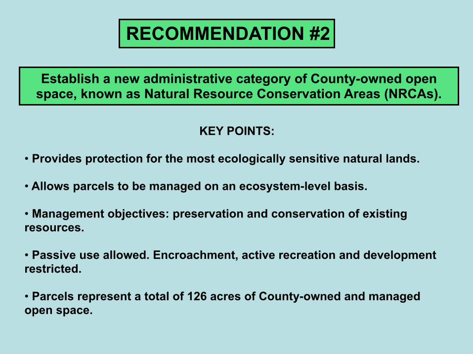
RECOMMENDATION #2
Establish a new administrative category of County-owned open space, known as Natural Resource Conservation Areas (NRCAs).
KEY POINTS:
• Provides protection for the most ecologically sensitive natural lands.
• Allows parcels to be managed on an ecosystem-level basis.
• Management objectives: preservation and conservation of existing resources.
• Passive use allowed. Encroachment, active recreation and development restricted.
• Parcels represent a total of 126 acres of County-owned and managed open space.

NATURAL RESOURCE CONSERVATION AREAS
SOUTH BARCROFT PARK
RecommendedParcels
Gulf Branch ParkDonaldson Run ParkWindy Run ParkFort C.F. Smith ParkLong Branch / Glencarlyn ParkBarcroft ParkArlington Forest Park
126 Acres total

RECOMMENDATION #3
Develop a new GIS-based environmental review process to protect significant individual natural resources on Arlington County-owned open space from ongoing maintenance activities, redevelopment or new construction on County-owned properties or private properties
within 100’ of a designated natural resource feature…
Explore expansion of current County review process to help ensure that land-disturbing activities on private property would not
adversely impact documented natural resources on property owned or managed by….Northern Virginia Regional Park Authority,
Arlington Public Schools, Northern Virginia Conservation Trust, or any other land trust.

KEY POINTS:
• Current regulations and policies do not provide adequate protection for known local significant natural resources. Presently, protection is voluntary.
• Development of new “environmental review” GIS data layer of documented natural resource features would provide protections.
• A new abbreviated review process would be required for all projects on County property or private property within 100’ of a known significant resource on County-owned land.
• Advance knowledge of natural resource locations will improve ability to master plan parks, aid in long-range planning and park development, and provide a known baseline for future environmental assessments.

Short’s Sedge Carex shortiana (S3)Bluemont Park
PROTECTON FORRARE PLANTS

BON AIR PARK
HISTORIC ROCKQUARRY
PROTECTION OFGEOLOGICALRESOURCES

LEE ART CENTER
SCARLET OAK (S4)
PROTECTIONOF SIGNIFICANT
TREE RESOURCES

THANK YOU…
We will be happy to respond to anyQuestions about the Natural Resource Management Plan, or Recommendations # 4-19.

ACKNOWLEDGMENTS
Rod Simmons, Botanist
John Parrish, Botanist
Mark Strong, Botanist Smithsonian Institution, Department of Botany
Christopher Frye, Maryland State Botanist Department of Natural Resources
Johnny Townsend, Botanist VA. DCR – Natural Heritage Program
Gary Fleming, Vegetation Ecologist VA. DCR Natural Heritage Program
Brent Steury, Natural Resource Manager G.W. Memorial Parkway
Stephen Van Hoven, Arborist DOD – Arlington National Cemetery
Anthony Fleming, Geologist
Anthony Bulmer, Naturalist (small mammals)
Andy Rabin and Kevin Munroe – Odonate surveys
Alonso Abugattas, Naturalist Lepidoptera surveys
David Farner, PRCR Avifauna research
Meghan Tice – Data Management
John White – herpetology and photography
Natural Heritage Resource Inventory volunteers
Department of Environmental Services – GIS Staff
Photo Credits:Greg Zell
Gary FlemingJohn White
John Parrish