Embed Size (px)
Citation preview
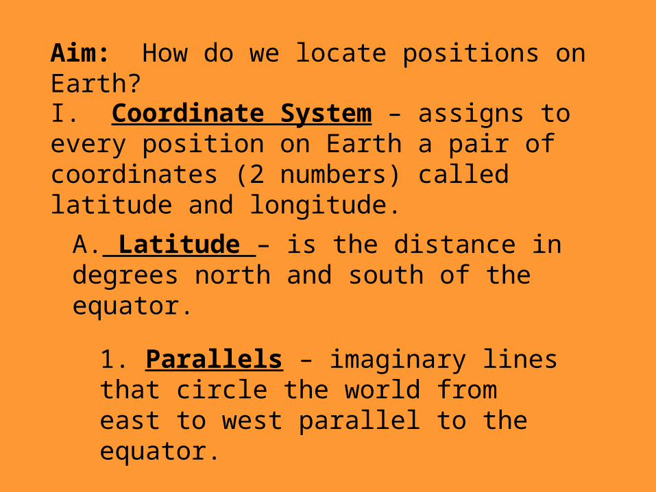
Aim: How do we locate positions on Earth?
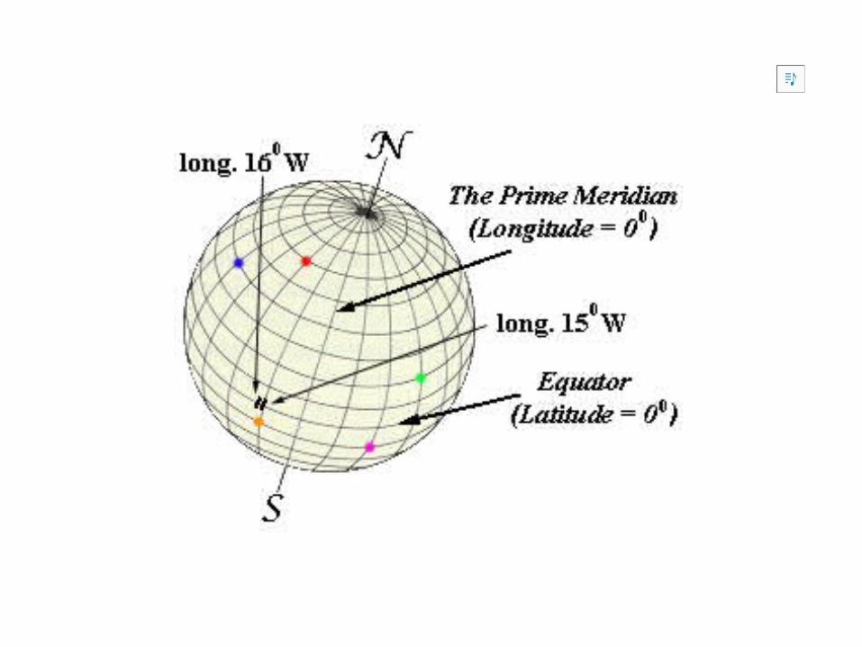
I. Coordinate System – assigns to every position on Earth a pair of coordinates (2 numbers) called latitude and longitude.
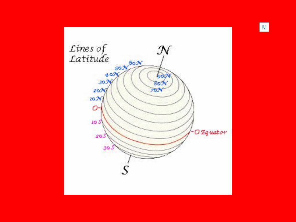
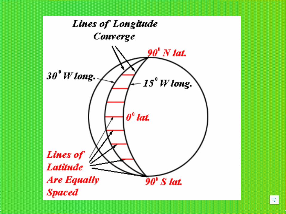
A. Latitude – is the distance in degrees north and south of the equator.
1. Parallels – imaginary lines that circle the world from east to west parallel to the equator.
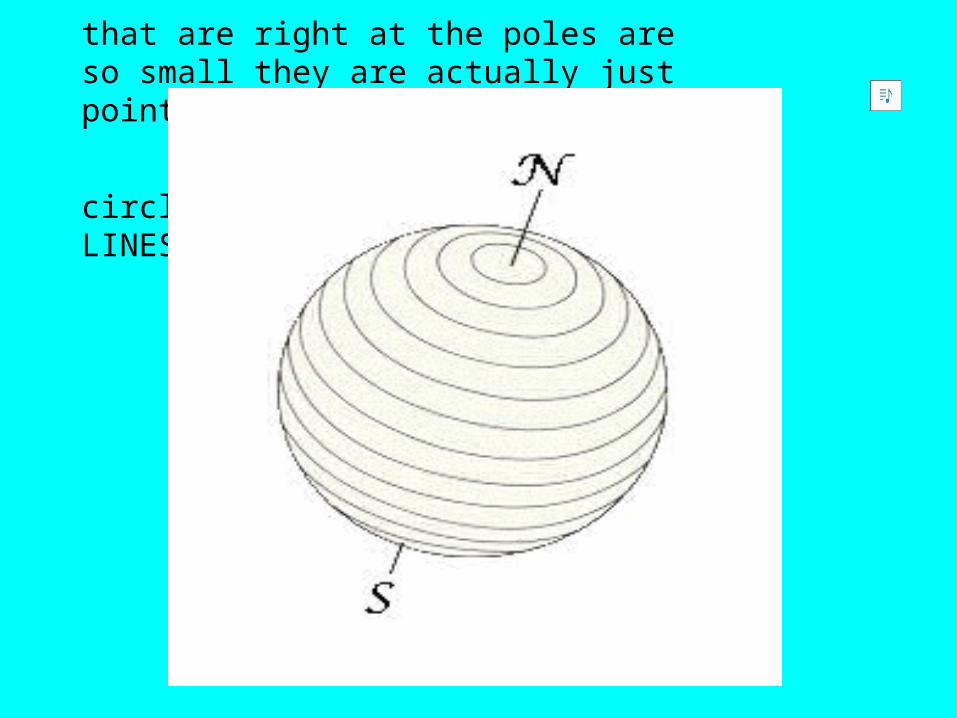
THE LATITUDE STORY
"Give me some latitude, Lulu! What's it all about!"
"Hmmmn! Well, let's look at it this way... Think of
the earth as a ball or a sphere, spinning about an
imaginary axis. In the drawing I've made, the ends
of the axis are labeled N for North Pole and S for
South Pole!"
"Imagine that 180 equally spaced, parallel circles are painted on the earth.
The N-S axis of the earth runs right through the center of each circle. The
further the circles are from the poles, the larger they are. The two circles
that are right at the poles are so small they are actually just points. All these
circles are called PARALLELS or LINES OF LATITUDE!"
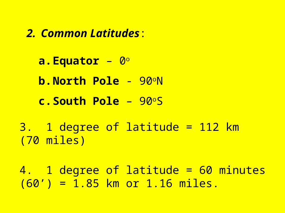
2. Common Latitudes:
a. Equator – 0o
b. North Pole - 90oN
c. South Pole – 90oS
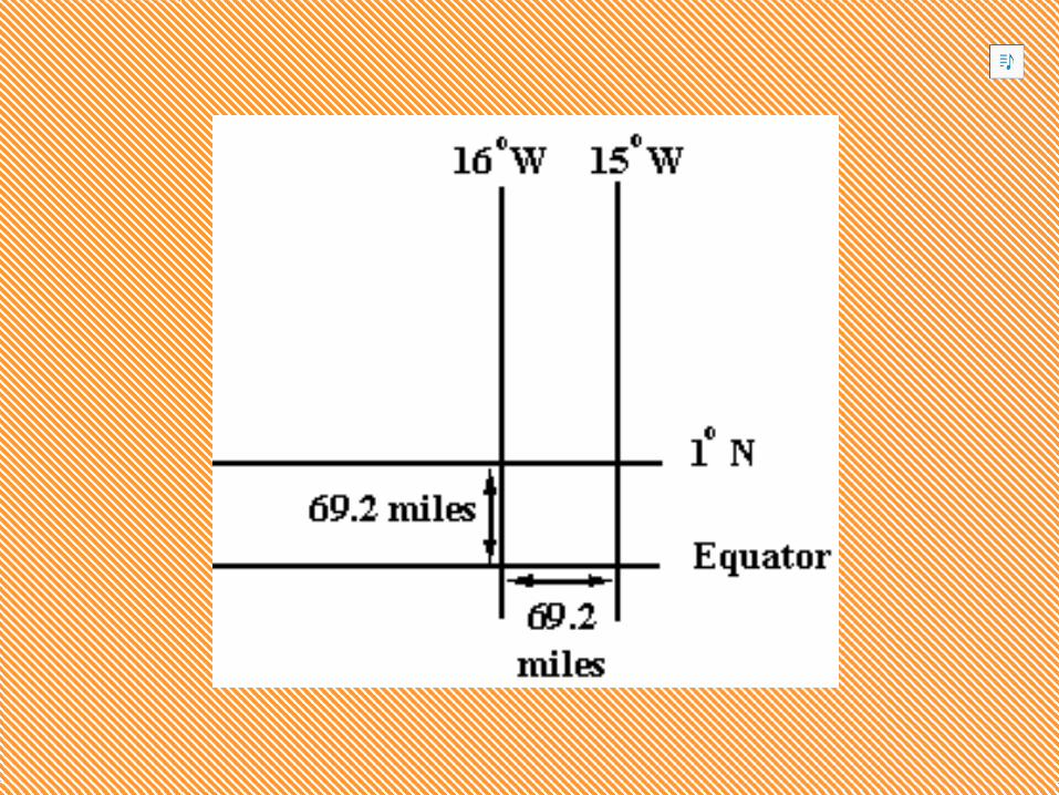
3. 1 degree of latitude = 112 km (70 miles)
4. 1 degree of latitude = 60 minutes (60’) = 1.85 km or 1.16 miles.
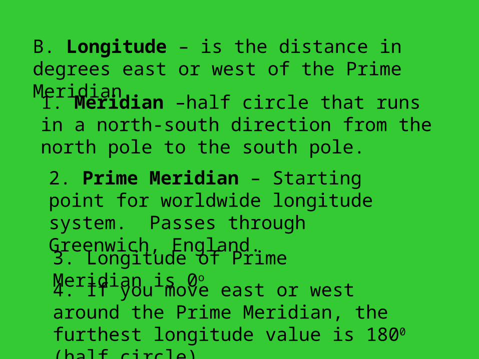
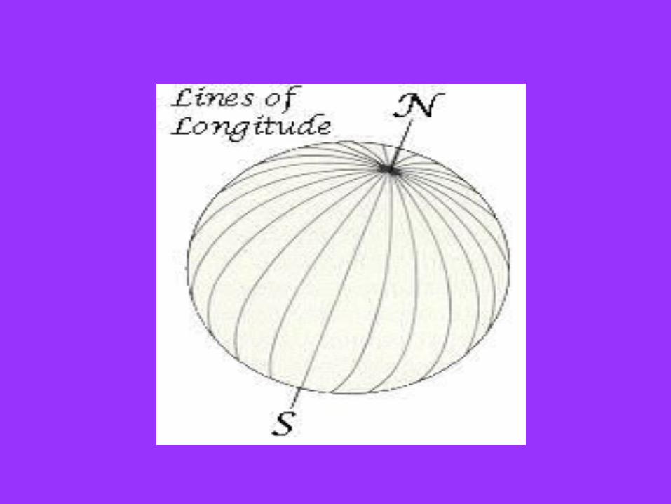
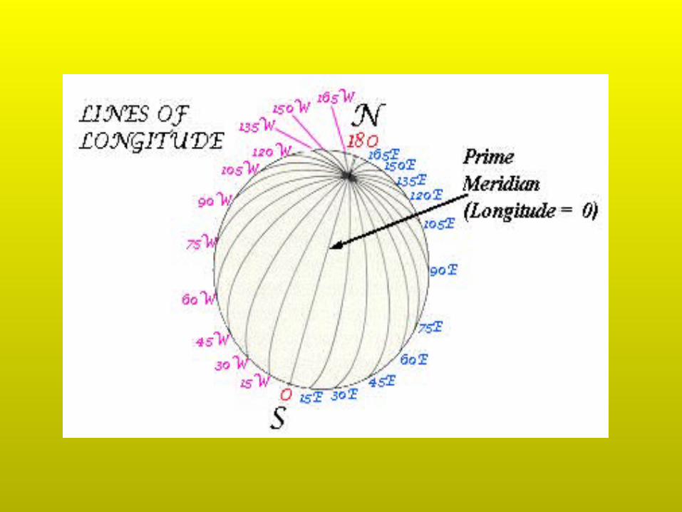
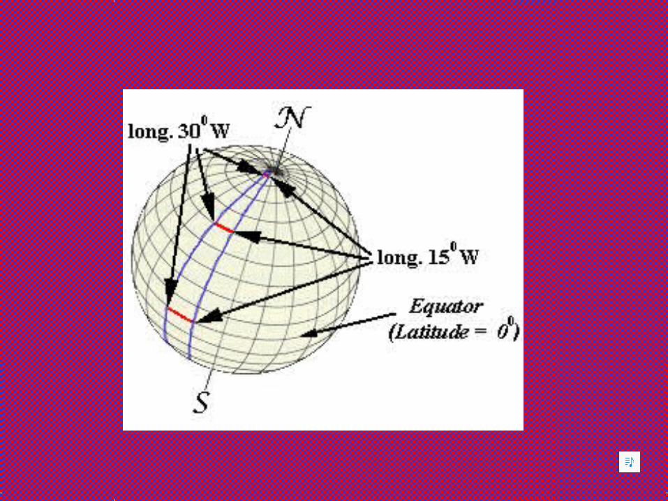
B. Longitude – is the distance in degrees east or west of the Prime Meridian
1. Meridian –half circle that runs in a north-south direction from the north pole to the south pole.
2. Prime Meridian – Starting point for worldwide longitude system. Passes through Greenwich, England.
3. Longitude of Prime Meridian is 0o4. If you move east or west around the Prime Meridian, the furthest longitude value is 1800 (half circle)
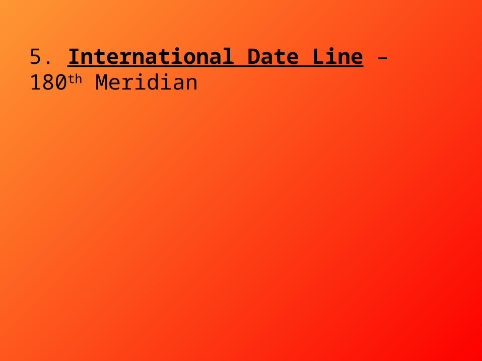
5. International Date Line – 180th Meridian
http://regentsprep.org/Regents/earthsci/units/mapping/latitude.cfm