Embed Size (px)
Citation preview

Academia, Emergency Management, and the Role of Geospatial TechnologiesFEMA Higher Education Conference, June 8, 2011
Kevin Mickey, GISP, CTT+Director, Professional Education and OutreachThe Polis CenterIndiana University Purdue University Indianapolis1200 Waterway Boulevard, Suite 100Indianapolis, Indiana 46202317.371.4479 PH317.278.1830 [email protected]
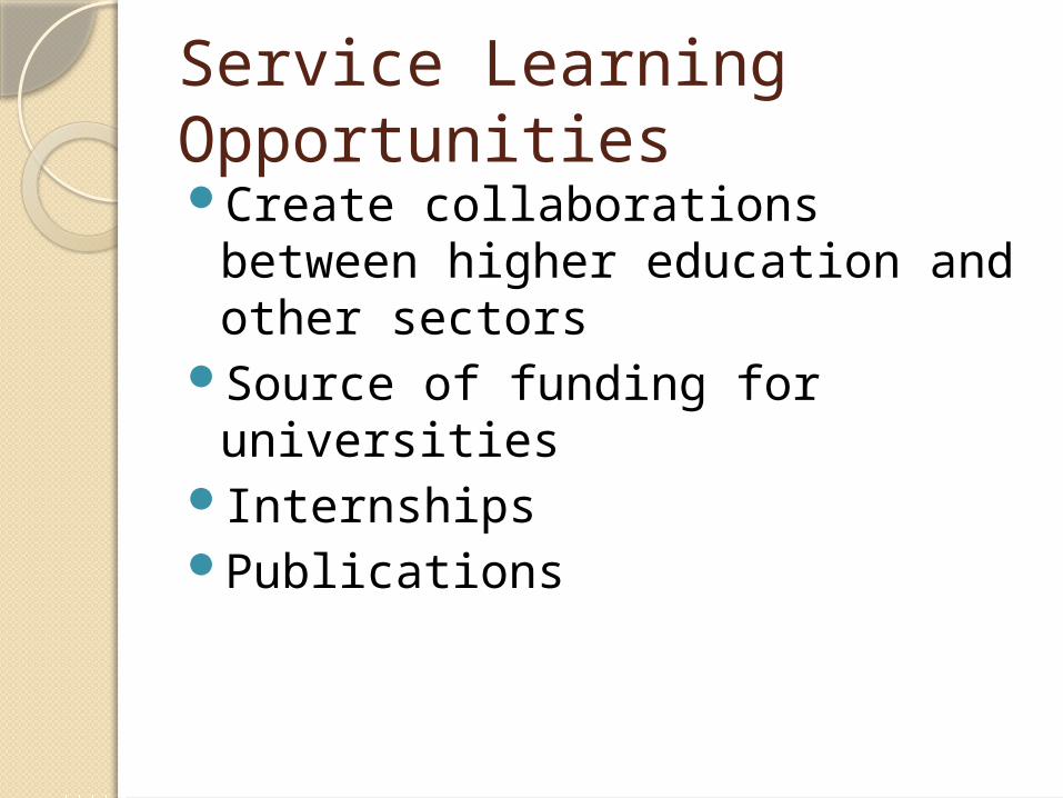
Service Learning OpportunitiesCreate collaborations between
higher education and other sectors
Source of funding for universitiesInternshipsPublications
The Polis Center
Applied research center at Indiana University Purdue University Indianapolis
Formed in 1989Over 300 projectsStrong collaborative emphasis
with academia, private sector, and public sector entities
Multiple opportunities for internships

The value of collaborationMidwest All Hazard DMA 2000 Mitigation Planning
University partners◦ Indiana University Purdue University
Indianapolis (The Polis Center)
◦ Southern Illinois University Carbondale◦ Augustana College◦ University of Wisconsin - Madison◦ University of Minnesota – Duluth
Multiple private sector partners

PDM ProjectsWisconsin,
Illinois, and Minnesota◦All hazard risk
assessments either have been or are in the process of being conducted in each state.
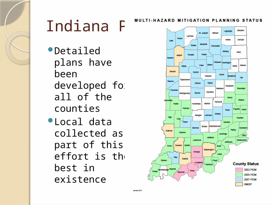
Indiana PDMDetailed plans
have been developed for all of the counties
Local data collected as part of this effort is the best in existence
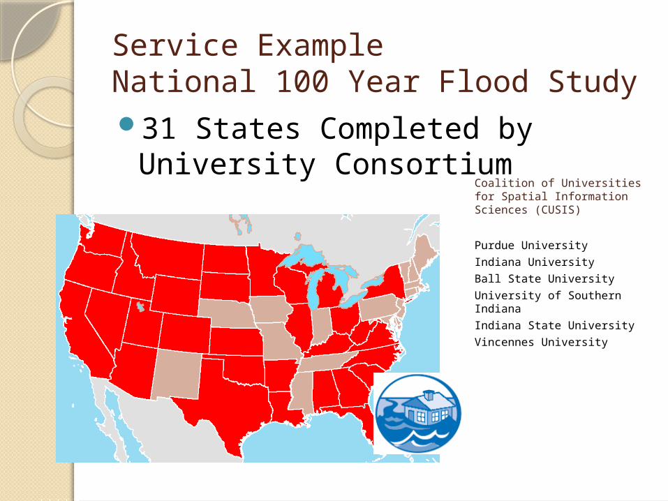
Service Example National 100 Year Flood Study31 States Completed by
University ConsortiumCoalition of Universities for Spatial Information Sciences (CUSIS)
Purdue University
Indiana University
Ball State University
University of Southern Indiana
Indiana State University
Vincennes University

Do you have other examples?

Intern BenefitsDeveloped familiarity with a
number of GIS applications and modeling tools
Applied experience included interaction with local and state government entities
Income

Collaborative Opportunities
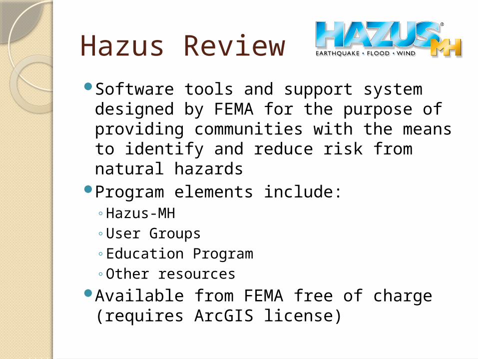
Hazus ReviewSoftware tools and support system
designed by FEMA for the purpose of providing communities with the means to identify and reduce risk from natural hazards
Program elements include:◦Hazus-MH ◦User Groups◦Education Program◦Other resources
Available from FEMA free of charge (requires ArcGIS license)
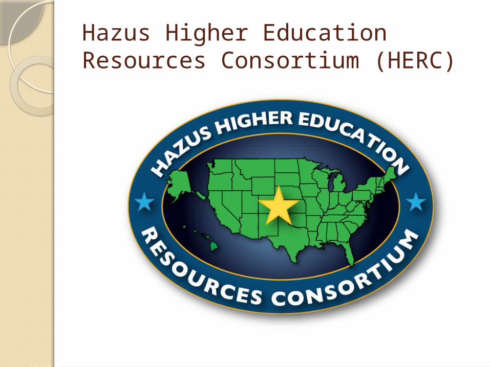
Hazus Higher Education Resources Consortium (HERC)
GoalsMaintain searchable database of institutions
using and teaching Hazus.Bridge the gap between practical and
academic Hazus users.Expand research and service learning
opportunities on higher education campuses through networking and resource sharing.
HERC members will participate in regional HUGs to meet the goals of the HERC and the HUG.
Work in collaboration with other FEMA initiatives.
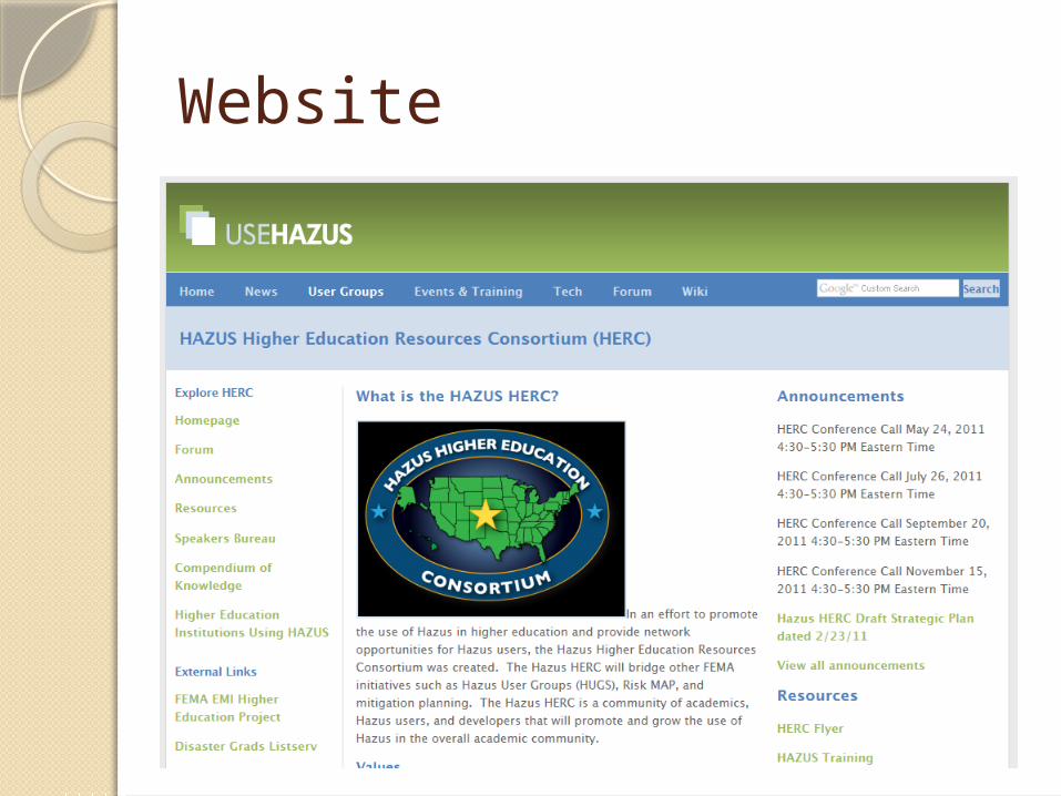
Website
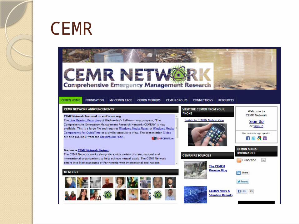
CEMR
Group Discussion