Embed Size (px)
Citation preview
6/10/2009 UU1
Land Administration & E-gov in Punjab
Reality & Desire
Dr Nasir JavedDirector
The Urban UnitPunjab, Pakistan
May 25, 2009 Tehran
6/10/2009 UU3
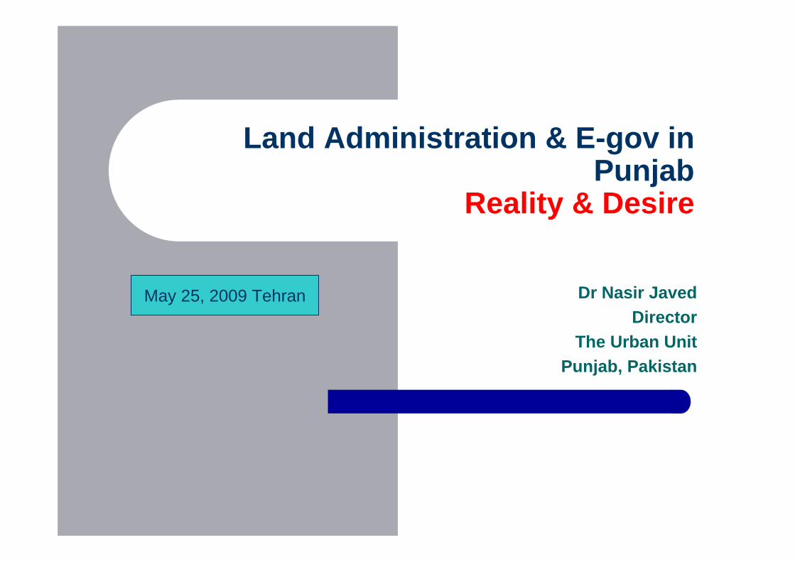
Who I am ?
Represent the Punjab Government Punjab is the largest Province of Pakistan Population: 90m Area: approx 200,000 sq km 35 districts, 144 sub districts 35% urbanized 5 cities of m+, with Lahore at 8m
6/10/2009 UU4
Preamble
The presentation is based upon a project that is work in progress
& hence does not answer all the questions, and may look a bit disorganized
But that is by design & not by default.
6/10/2009 UU5
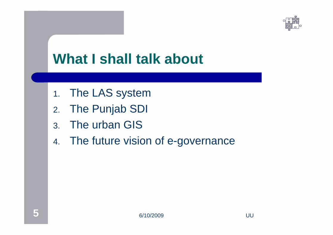
What I shall talk about
1. The LAS system2. The Punjab SDI3. The urban GIS4. The future vision of e-governance
6/10/2009 UU6
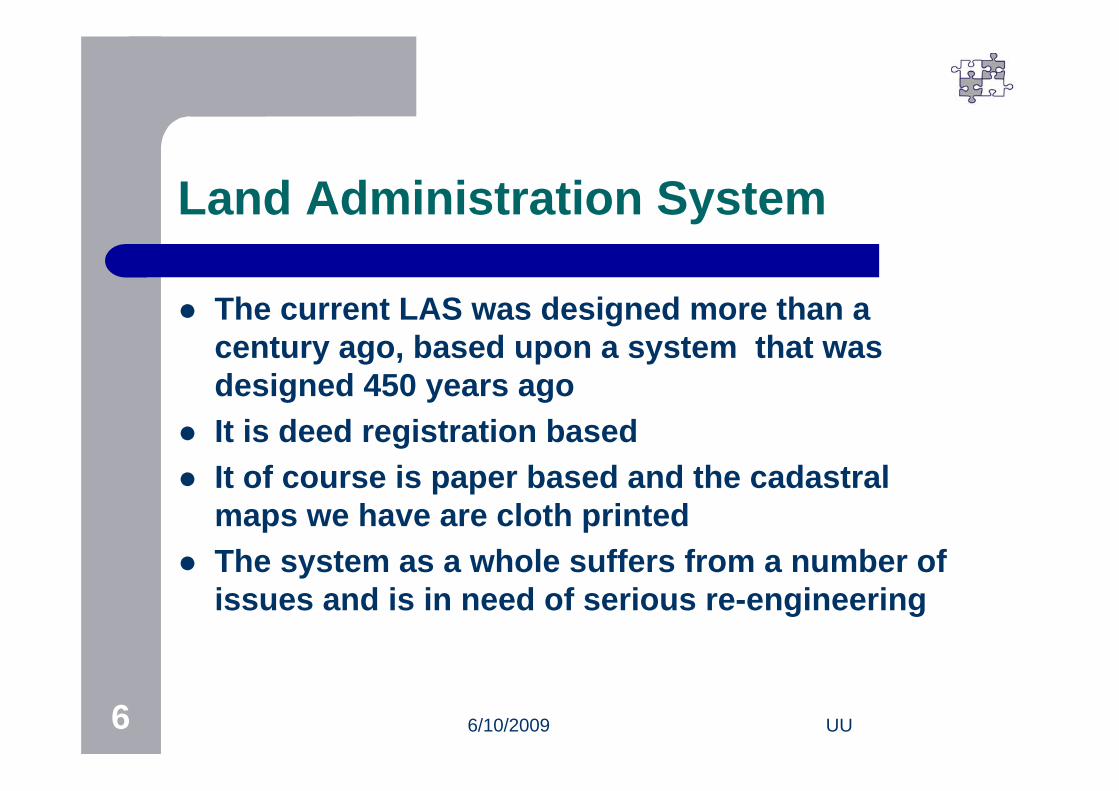
Land Administration System
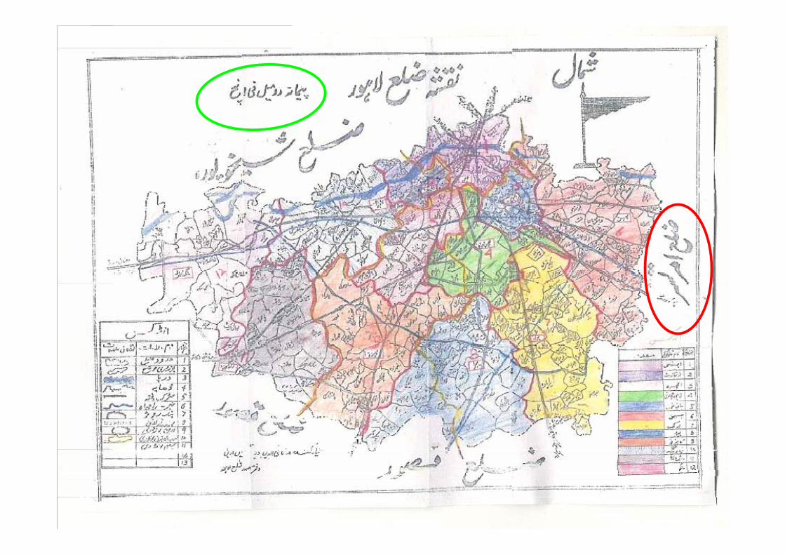
The current LAS was designed more than a century ago, based upon a system that was designed 450 years ago
It is deed registration based It of course is paper based and the cadastral
maps we have are cloth printed The system as a whole suffers from a number of
issues and is in need of serious re-engineering
6/10/2009 UU7
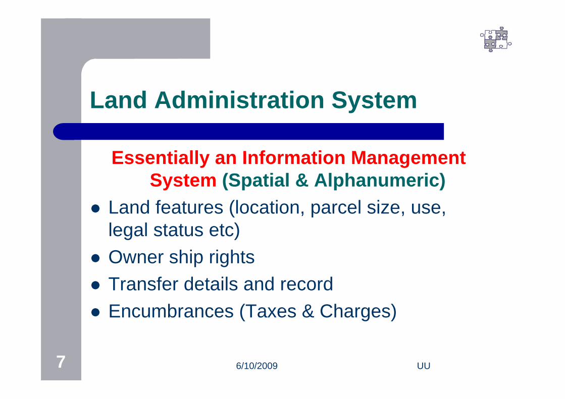
Land Administration System
Essentially an Information Management System (Spatial & Alphanumeric)
Land features (location, parcel size, use, legal status etc)
Owner ship rights Transfer details and record Encumbrances (Taxes & Charges)
6/10/2009 UU8

6/10/2009 UU9
Components of Land Admin System
1. The People2. The Premises3. The Papers 4. The Process5. The Product

6/10/2009 UU10
The Papers
Very old, archaic, hand written documents overflowing with errors, ill kempt and poorly managed,

6/10/2009 UU11
The Premises
Almost no patwarioffices, low quality ill maintained field offices

6/10/2009 UU12
Imprisoned record: Needs to be liberated
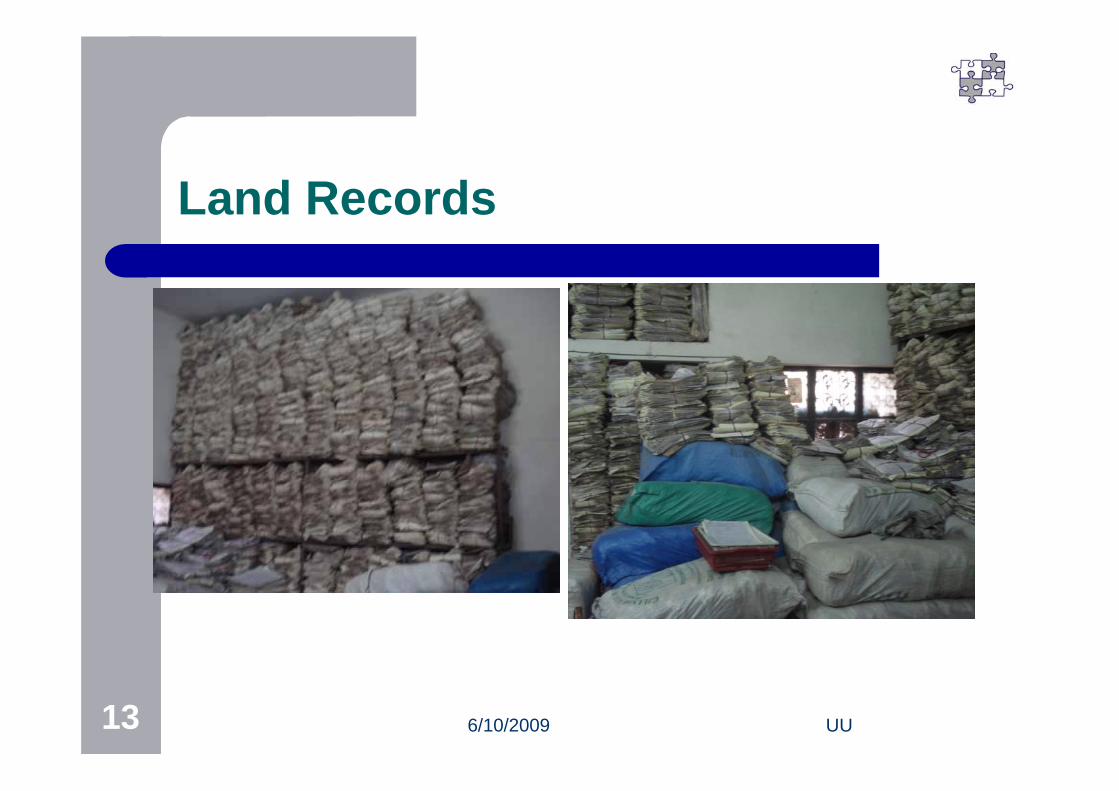
6/10/2009 UU13
Land Records
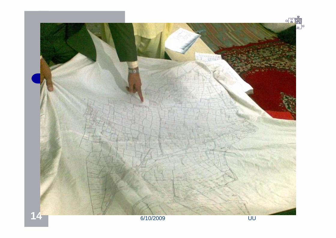
6/10/2009 UU14
6/10/2009 UU15
Urban Land Administration
The LAS in Punjab was designed primarily for agricultural lands
Urban land has been managed on the same system
This gives us an opportunity to design a new system, based upon GIS & cadastral maps
6/10/2009 UU16
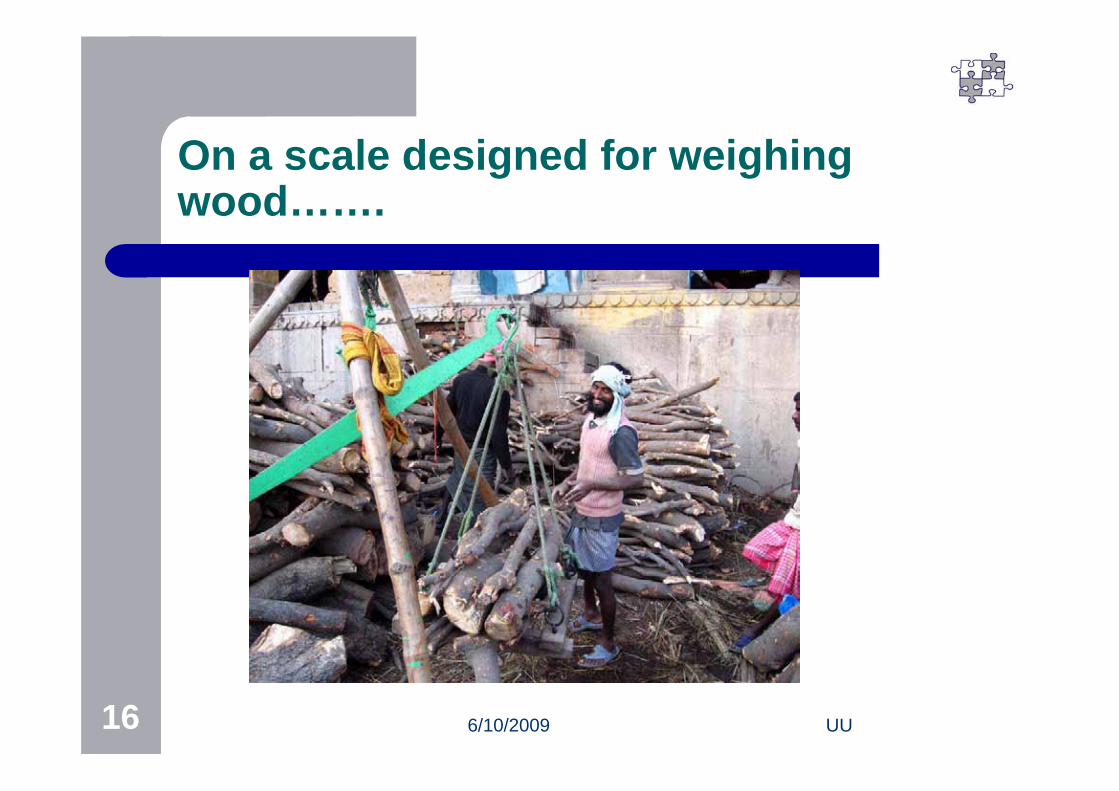
On a scale designed for weighing wood…….
6/10/2009 UU17
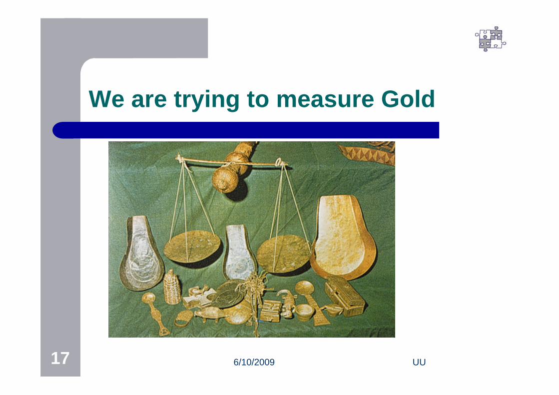
We are trying to measure Gold

6/10/2009 UU18
Computerization
Computerization with the same Business Processes
Replacing a few components of the system without changing the inter-relationships, interdependencies and interactions will not change the system
Like putting a diesel engine in a Horse driven cart
6/10/2009 UU19
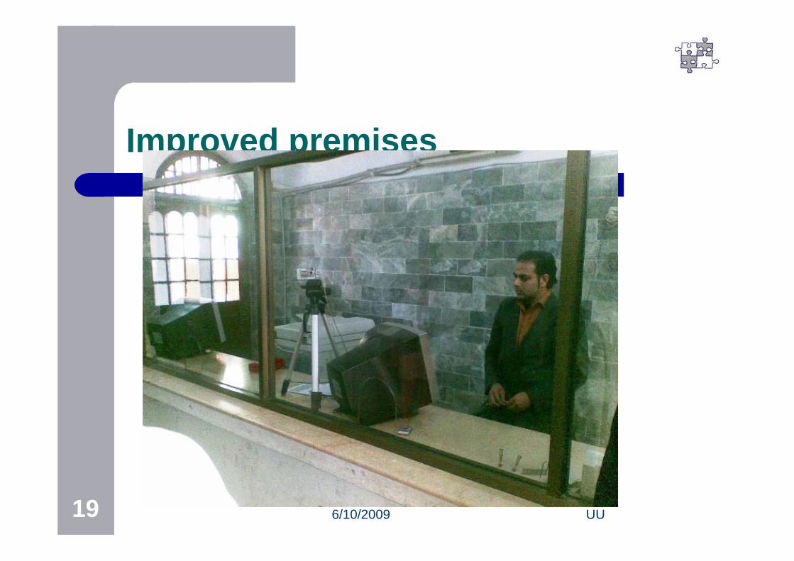
Improved premises

6/10/2009 UU20 20
Similar Product
6/10/2009 UU21
BPR
Business Process Re-engineering is the missing link
6/10/2009 UU22
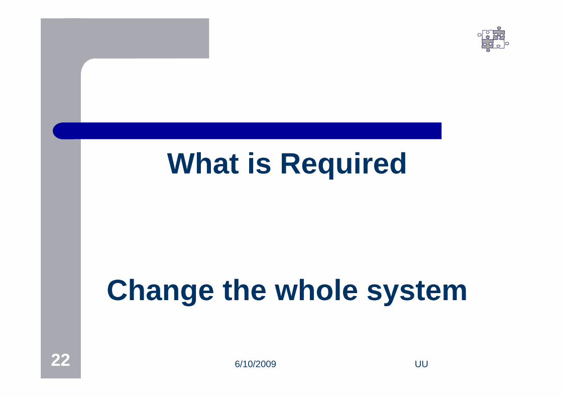
What is Required
Change the whole system
6/10/2009 UU23
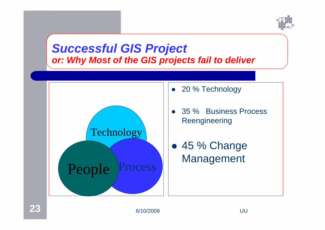
Successful GIS Projector: Why Most of the GIS projects fail to deliver
20 % Technology
35 % Business Process Reengineering
45 % Change Management
Technology
ProcessPeople

6/10/2009 UU24
Changing the system
Change is very difficult to implement
Almost every one wants status quo
The only person ready and willing for changeis……..
A baby with a Wet Nappy
6/10/2009 UU25
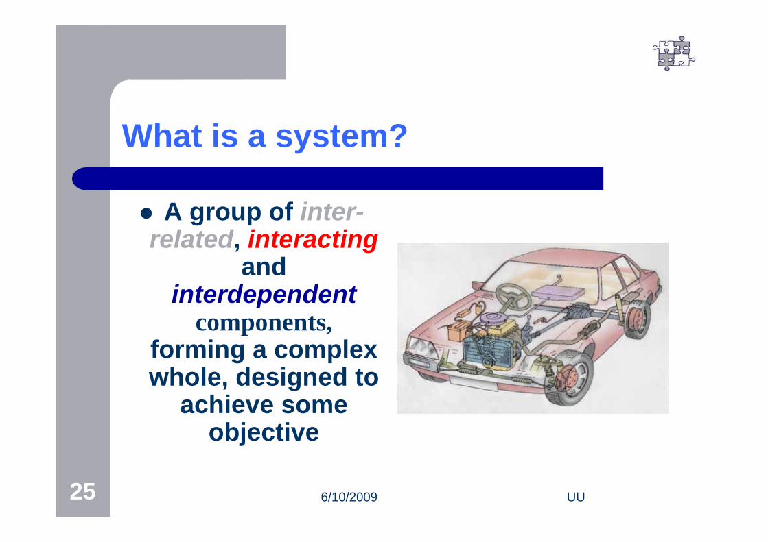
What is a system?
A group of inter-related, interacting
and interdependent
components,forming a complex whole, designed to
achieve some objective

6/10/2009 UU26
The Golden Key
INTEGRATIONINTEGRATION
6/10/2009 UU27
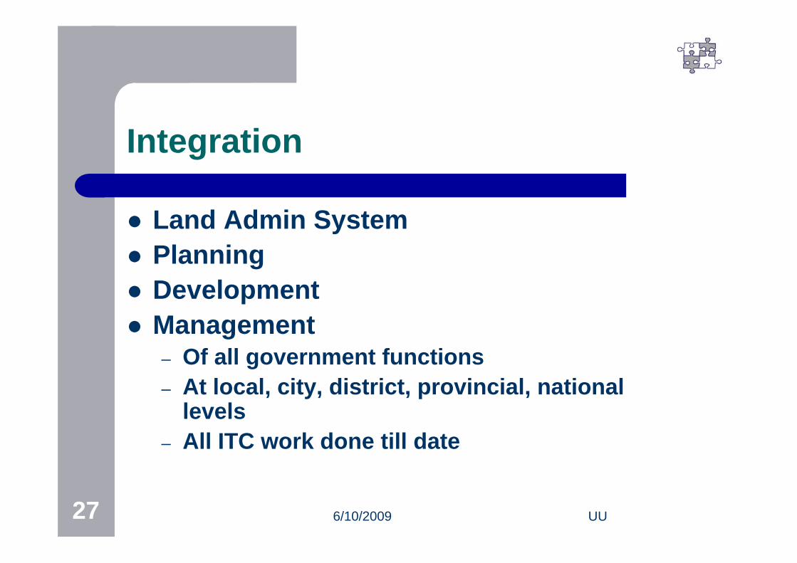
Integration
Land Admin System Planning Development Management
– Of all government functions– At local, city, district, provincial, national
levels– All ITC work done till date

6/10/2009 UU28
Re-engineering the systemIssues
Inertia Human resource Vested interest Champion for change

6/10/2009 UU29
Work done till date
Computerization of land records GIS system for Punjab (starting with urban
areas) Pilot GIS based mapping lahore parcels.mxd
6/10/2009 UU30
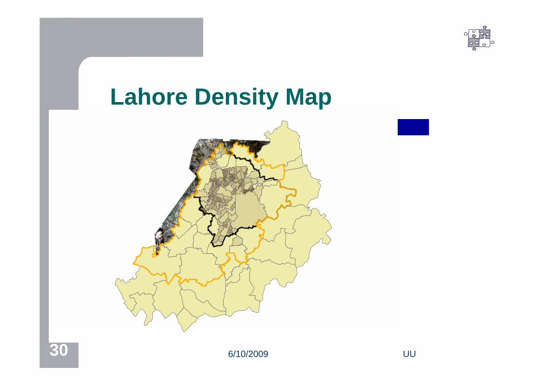
Lahore Density Map
6/10/2009 UU31
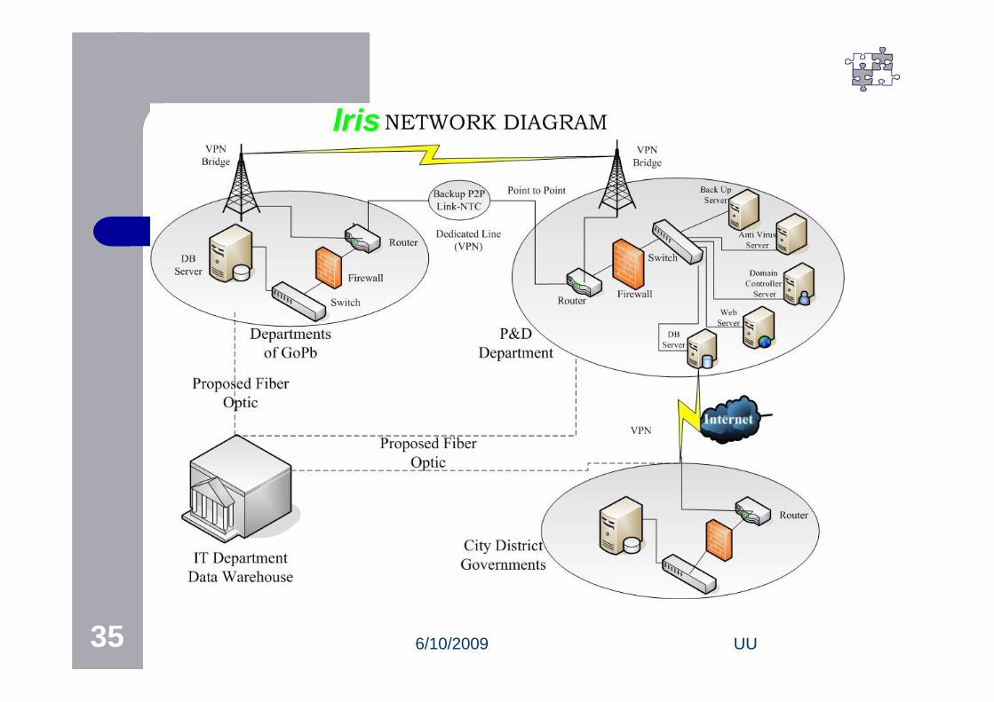
LAHORE GIS
Iris

6/10/2009 UU32
Vision for a Punjab GIS
A comprehensive IMS, based upon GIS, with an enterprise level, web based architecture, covering all departments & all levels of the Government, where it is integrated into the entire business processes, using state of the art technologies, yet simple in use for all users.
6/10/2009 UU33
Where are we?
Satellite imagery procured 25% of cities Base map for entire Punjab Parcel level mapping for urban areas Various levels of thematic maps Applications being developed
6/10/2009 UU34
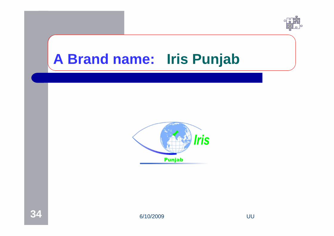
A Brand name: Iris Punjab
6/10/2009 UU35
6/10/2009 UU36
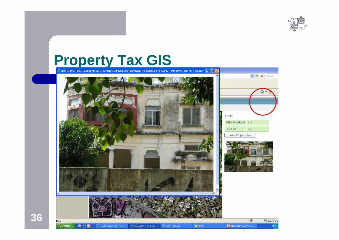
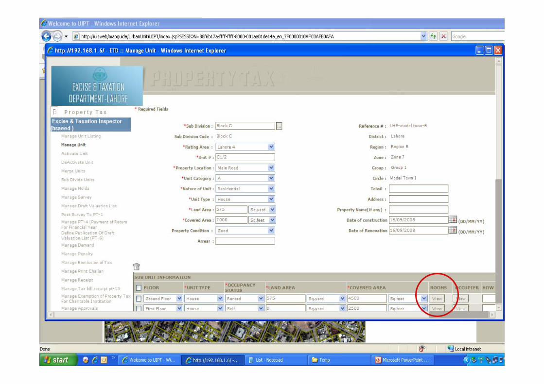
Property Tax GIS
6/10/2009 UU37

6/10/2009 UU38
Punjab SDI (Work in progress)
Regulatory framework Hardware Standards Partnerships
6/10/2009 UU39
Capacity Building
Institutional Personnel
6/10/2009 UU40
Learning from International Experience
Every system is based upon Principles We need to design Processes, Then we need People to Practice the
system All this in the local Perspective
6/10/2009 UU41
Cost of system
Not looking at the financial cost benefit
But the economic cost benefit of improving the system
The opportunity cost of not doing it

6/10/2009 UU42
The Strategy 1
Incremental growth, BUT
With a very clear sense of destination : – The vision– The Direction
6/10/2009 UU43
Strategy 2
Termite approach
6/10/2009 UU44
Strategy 3
Communication levels only appropriate
Not worried that only 1% understand the technology
So is the case with pharmacology, & medicine
6/10/2009 UU45
Strategy 4
Client led approach &
Not Consultant led

6/10/2009 UU46
Thank You


![UU PAPER-1 UU Roll No. AA UU...1-AA ] [ 3 ] [ P.T.O. UU UU UU UU UU UU UU UU UU UU UU UU UU 003. The trajectory of a projectile in a vertical plane is y x x=a b-2 where a band are](https://img.pdfslide.us/doc/110x75/5f67099c83705d66d477d4c0/uu-paper-1-uu-roll-no-aa-uu-1-aa-3-pto-uu-uu-uu-uu-uu-uu-uu-uu-uu.jpg)