Embed Size (px)
Citation preview
2008 ESRI International User Conference2008 ESRI International User Conference
“G“Geographyeography in Action” in Action”
GIS User Group MeetingGIS User Group Meeting
September 19, 2008September 19, 2008
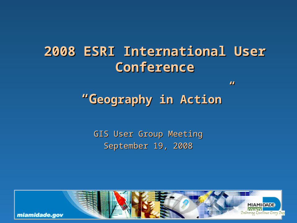
ArcGIS Explorer
• ArcGIS Explorer is a virtual globe software and is part of ESRI’s suite of software products
• Leverages globe serving capabilities (introduced at 9.2)
• Part of the natural progression towards services-oriented architecture
• Meant as a client to the ArcGIS Server product
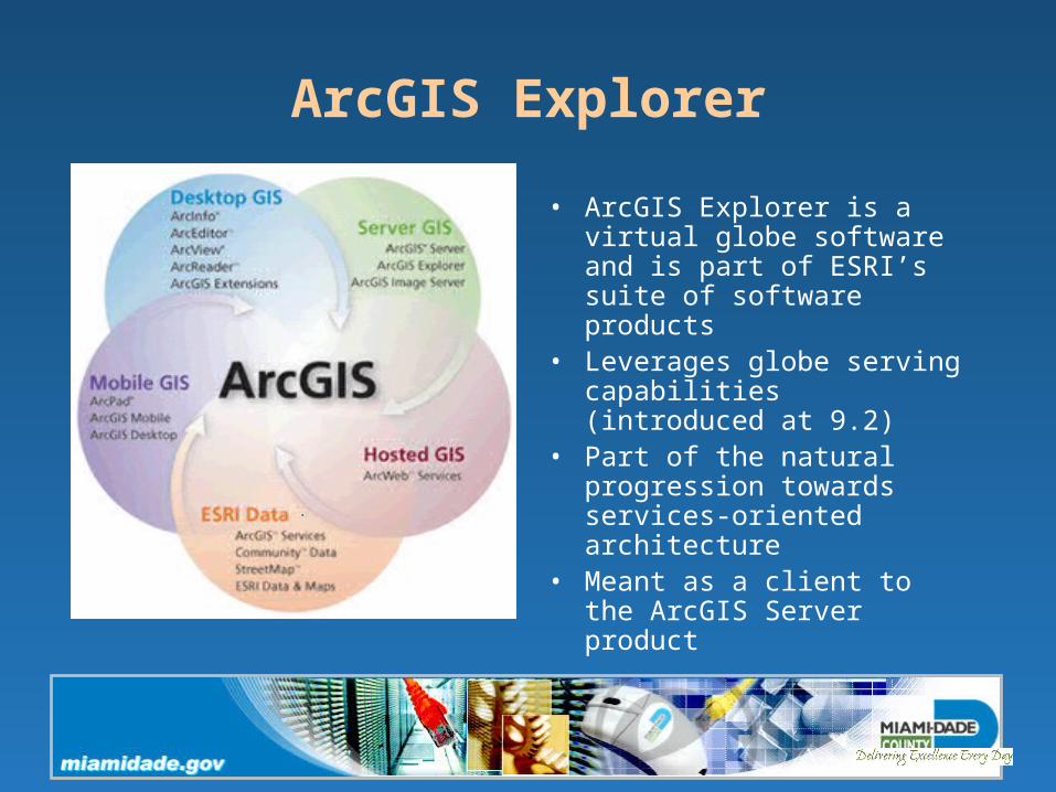
ArcGIS Explorer
• Parallels drawn with Google Earth because of global imagery and delivery in a virtual globe environment
• Google earth is a consumer, or public-facing product
• ArcGIS Explorer (AGX) was designed from the ground up within the ArcGIS family to consume published GIS capabilities– Customizations can be
delivered to wide audiences• Fully downloadable and
freely distributable
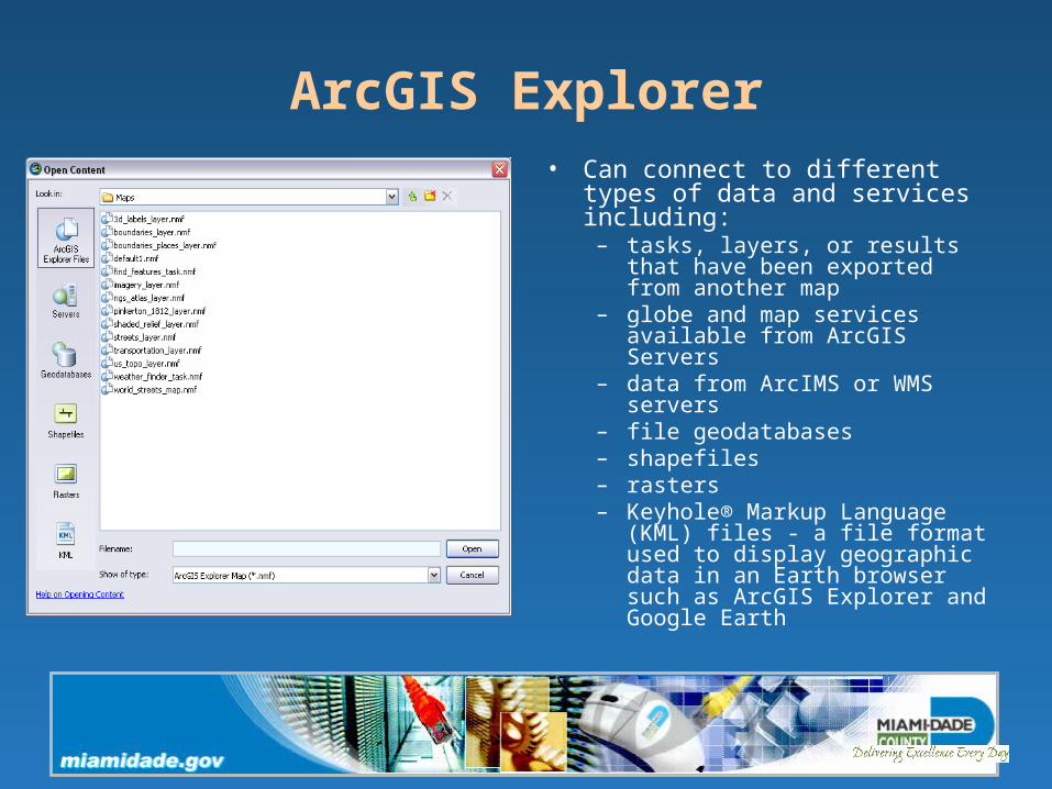
ArcGIS Explorer• Can connect to different types of
data and services including:– tasks, layers, or results that have
been exported from another map– globe and map services available
from ArcGIS Servers– data from ArcIMS or WMS servers– file geodatabases– shapefiles– rasters– Keyhole® Markup Language
(KML) files - a file format used to display geographic data in an Earth browser such as ArcGIS Explorer and Google Earth
ArcGIS Explorer
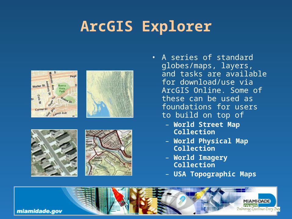
• A series of standard globes/maps, layers, and tasks are available for download/use via ArcGIS Online. Some of these can be used as foundations for users to build on top of– World Street Map
Collection – World Physical Map
Collection – World Imagery Collection – USA Topographic Maps
ArcGIS Explorer
ArcGIS Explorer
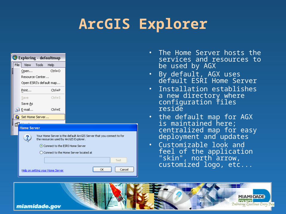
• The Home Server hosts the services and resources to be used by AGX
• By default, AGX uses default ESRI Home Server
• Installation establishes a new directory where configuration files reside
• the default map for AGX is maintained here; centralized map for easy deployment and updates
• Customizable look and feel of the application "skin", north arrow, customized logo, etc...