Embed Size (px)
Citation preview
WHAT IS GEOGRAPHY?
What is geography ?
Try to define it in 10 words or less.

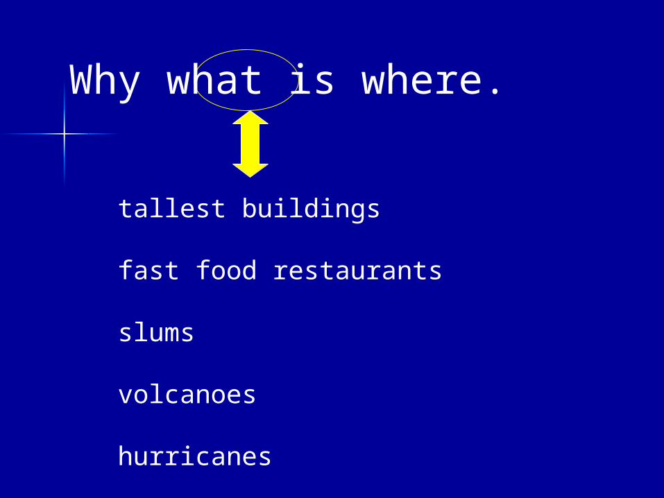
Why what is where.
Why what is where.
Can be anything
Why what is where.
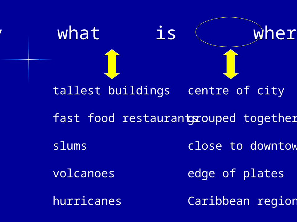
tallest buildings
fast food restaurants
slums
volcanoes
hurricanes
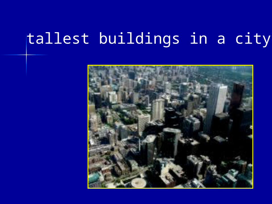
tallest buildings in a city
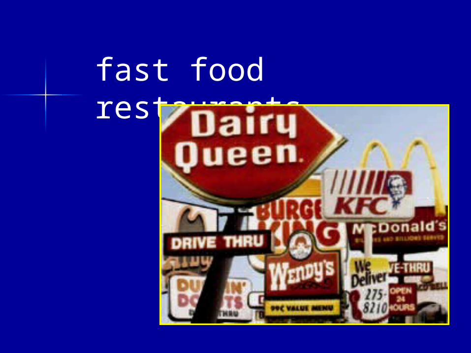
fast food restaurants
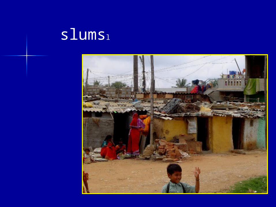
slumsl
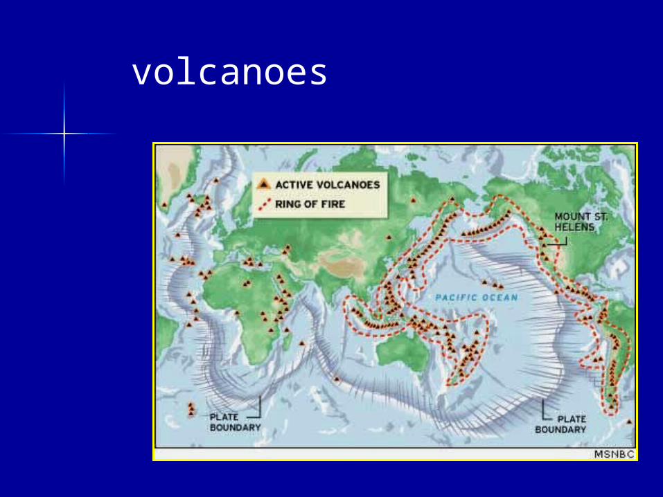
volcanoes
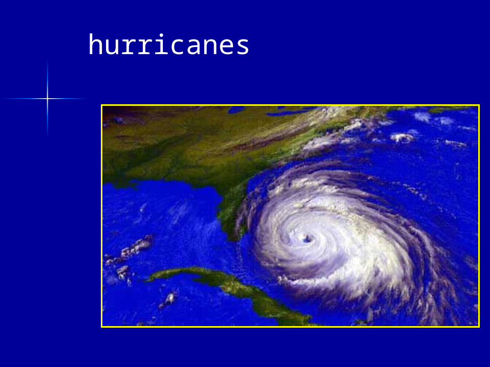
hurricanes
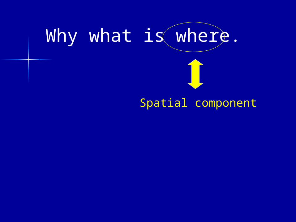
Why what is where.
Spatial component
Why what is where.
tallest buildings
fast food restaurants
slums
volcanoes
hurricanes
centre of city
grouped together
close to downtown
edge of plates
Caribbean region
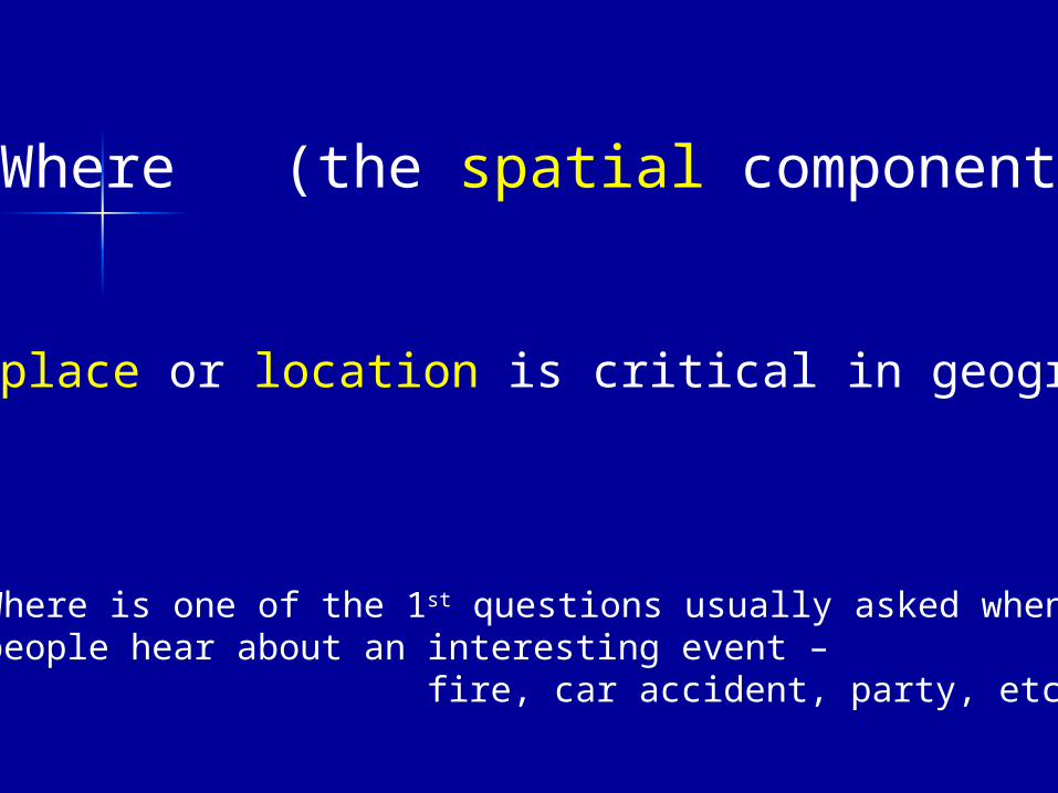
Where (the spatial component)
place or location is critical in geography
Where is one of the 1st questions usually asked when people hear about an interesting event –
fire, car accident, party, etc.
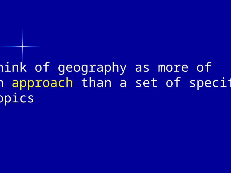
Think of geography as more of an approach than a set of specific topics
What is involved in the geographic approach ?
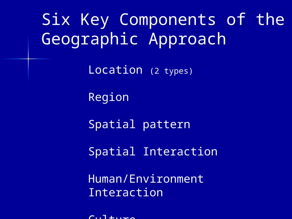
Six Key Components of the Geographic Approach
Location (2 types)
Region
Spatial pattern
Spatial Interaction
Human/Environment Interaction
Culture
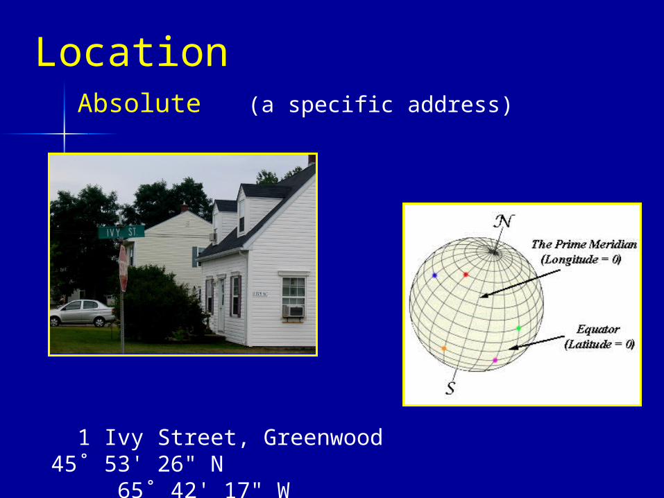
Location
1 Ivy Street, Greenwood 45˚ 53' 26" N 65˚ 42' 17" W
Absolute (a specific address)
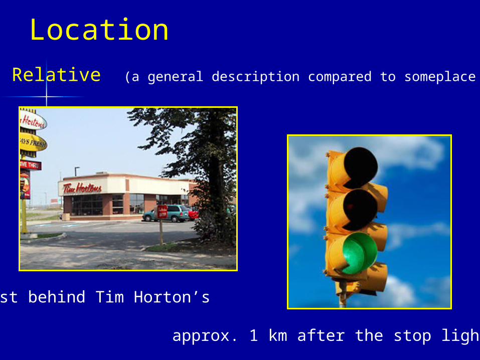
Location
just behind Tim Horton’s
approx. 1 km after the stop lights
Relative (a general description compared to someplace else)
Regions
we group areas together into regions for convenience
Atlantic Provinces, North America, Western Europe, the Annapolis Valley,the French Shore, MDCs, LDCs, etc.
Regions
defined by homogeneity:
physical geog. – Interior Lowlands
economics - Less Developed Countries
language - the French Shore
religion - the Protestant area of Belfast
etc.
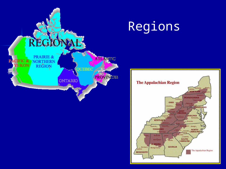
Regions
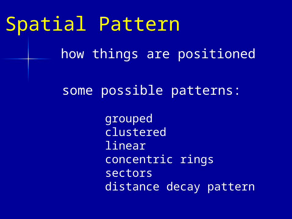
Spatial Pattern how things are positioned
grouped clusteredlinear concentric ringssectors distance decay pattern
some possible patterns:
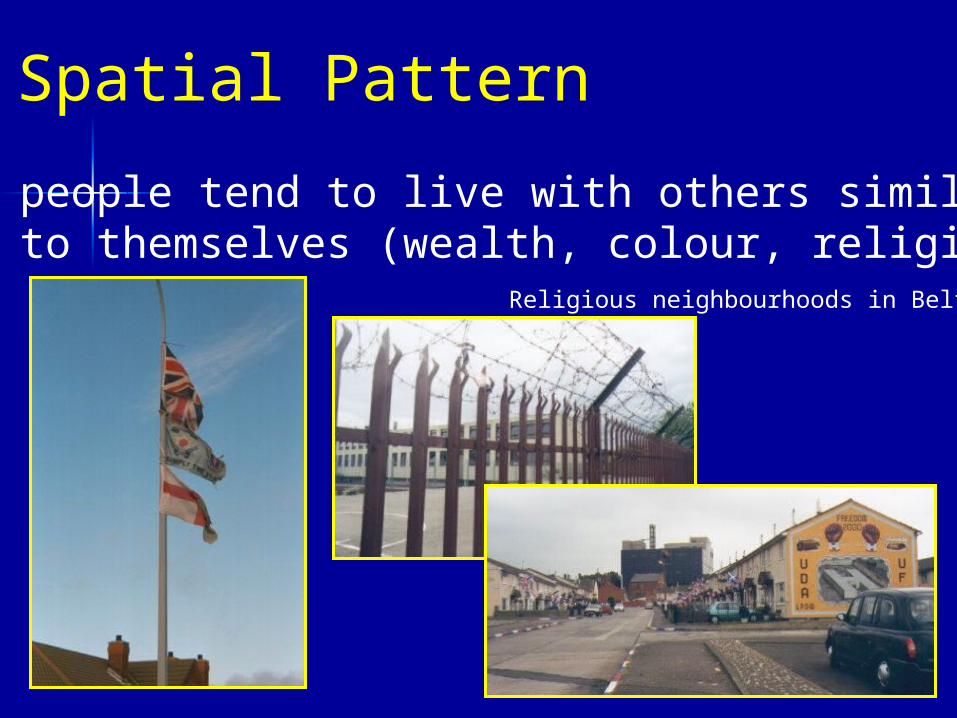
Spatial Pattern
people tend to live with others similar to themselves (wealth, colour, religion…
Religious neighbourhoods in Belfast
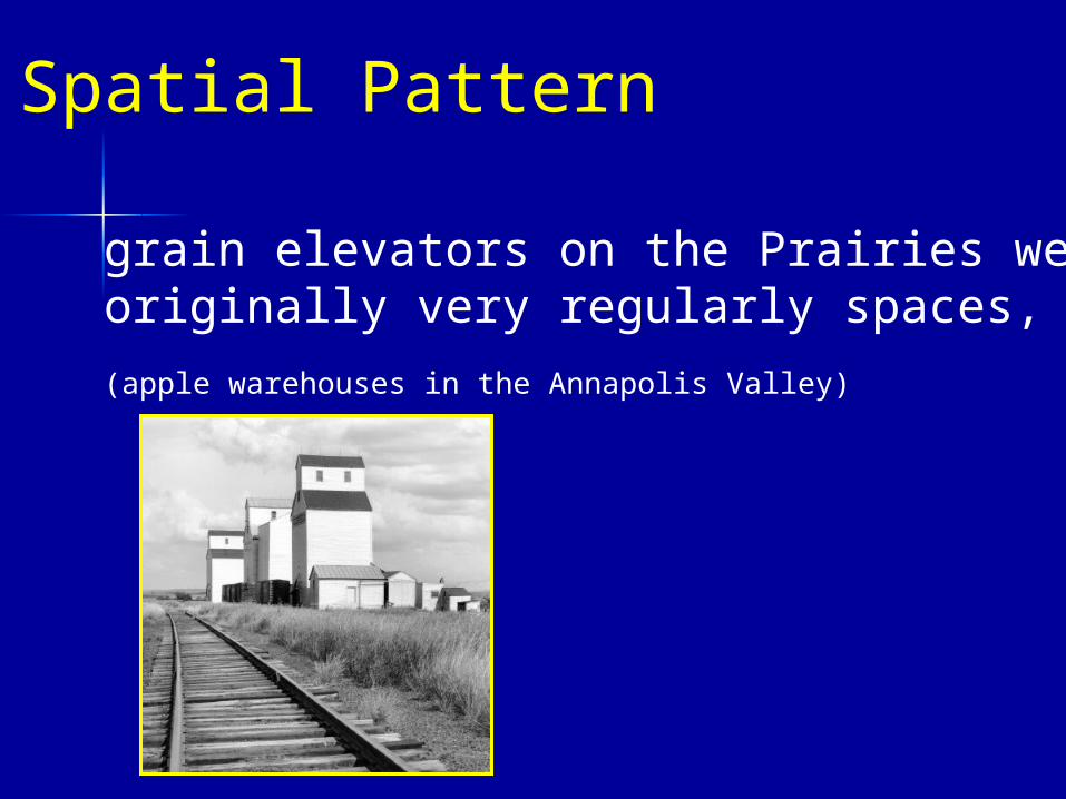
Spatial Pattern
grain elevators on the Prairies were originally very regularly spaces,
(apple warehouses in the Annapolis Valley)
Spatial Pattern
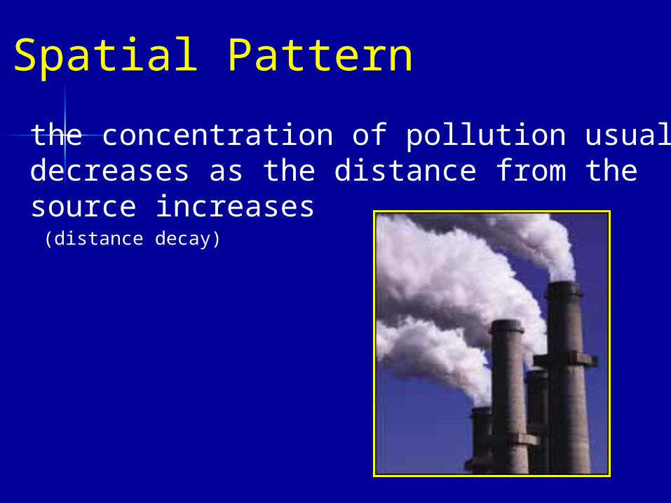
the concentration of pollution usually decreases as the distance from the source increases (distance decay)
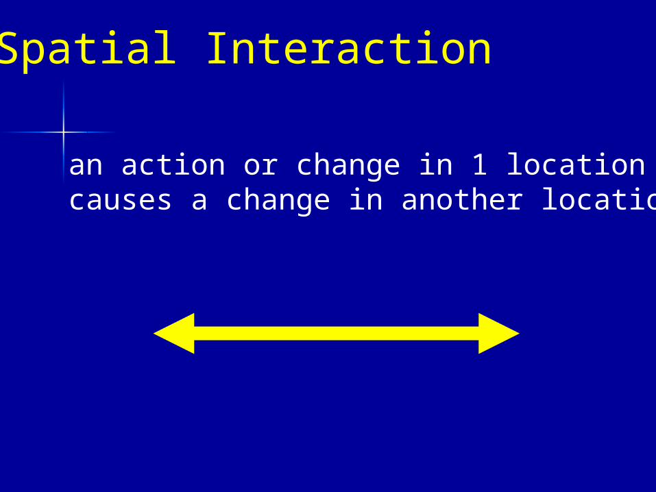
Spatial Interaction
an action or change in 1 location causes a change in another location
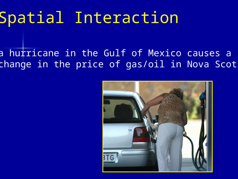
Spatial Interaction
a hurricane in the Gulf of Mexico causes a change in the price of gas/oil in Nova Scotia
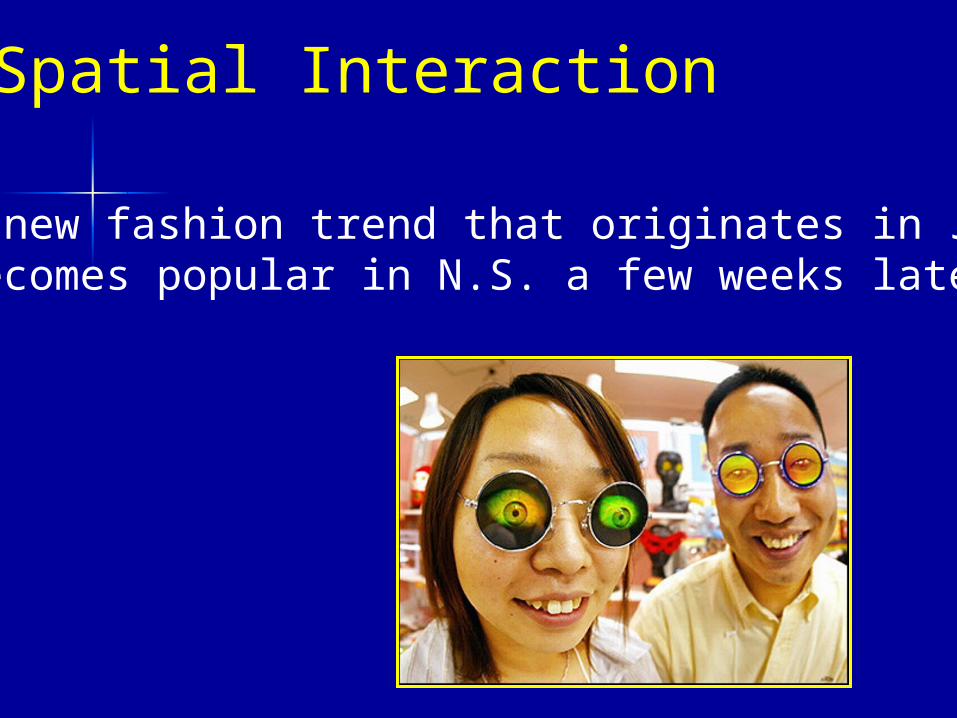
Spatial Interaction
a new fashion trend that originates in Japan becomes popular in N.S. a few weeks later
Human/Environment Interaction
actions by humans result in environmental change
or
environmental activity results in changes for humans
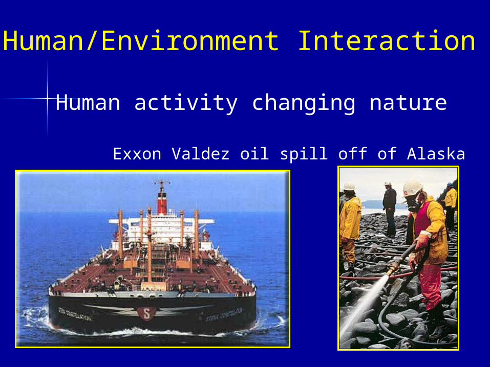
Human/Environment Interaction
Human activity changing nature
Exxon Valdez oil spill off of Alaska
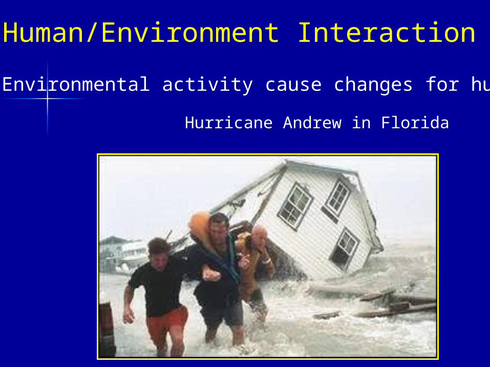
Environmental activity cause changes for humans
Hurricane Andrew in Florida
Human/Environment Interaction
Culture
people from different cultures may havevery different views on many topics
(environment, demographics, food, etc.)
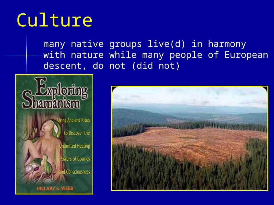
Culturemany native groups live(d) in harmony with nature while many people of European descent, do not (did not)
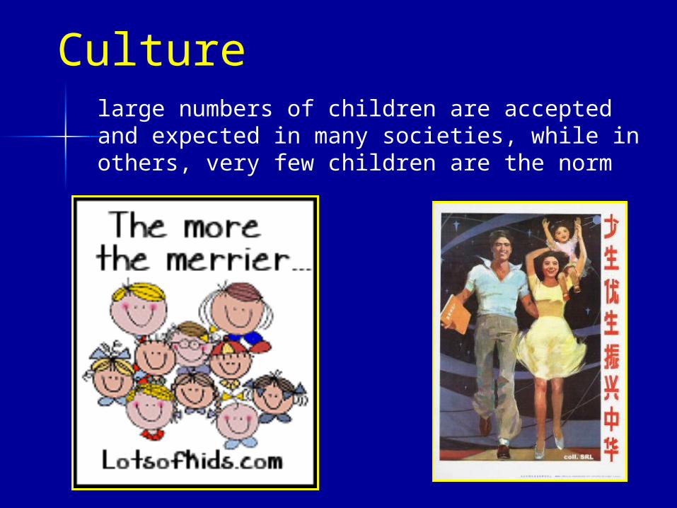
Culturelarge numbers of children are accepted and expected in many societies, while in others, very few children are the norm
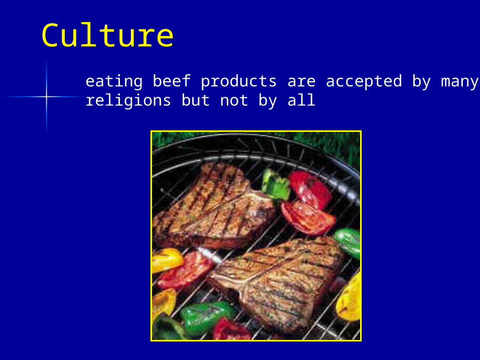
Cultureeating beef products are accepted by manyreligions but not by all
Any topic can be geography
if some of the previous 6 ideas are used to aid in the description, analysis, and/or synthesis of the topic, you are using a geographic approach
Geographers think spatially (where, patterns, connections)
Examples of great geography ‘topics’
How can these topics be approached geographically ?
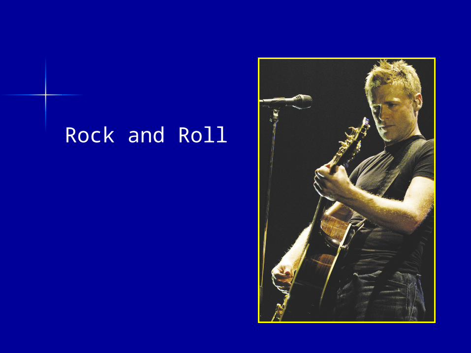
Rock and Roll
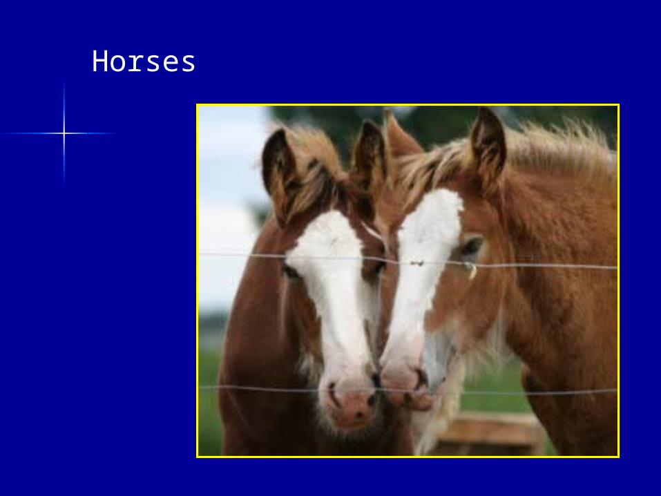
Horses
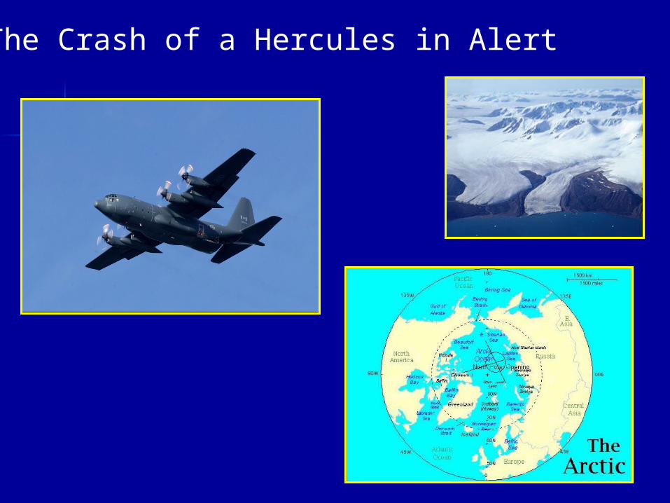
The Crash of a Hercules in Alert


Why study geography ?
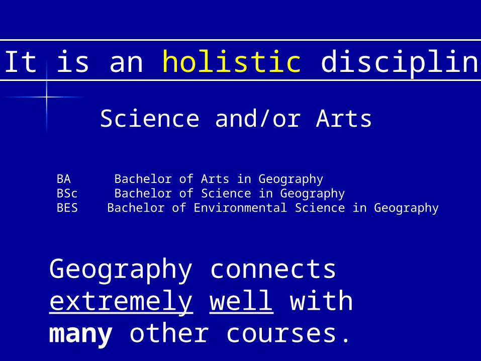
It is an holistic discipline
Science and/or Arts
Geography connects extremely well with many other courses.
BA Bachelor of Arts in Geography BSc Bachelor of Science in Geography BES Bachelor of Environmental Science in Geography
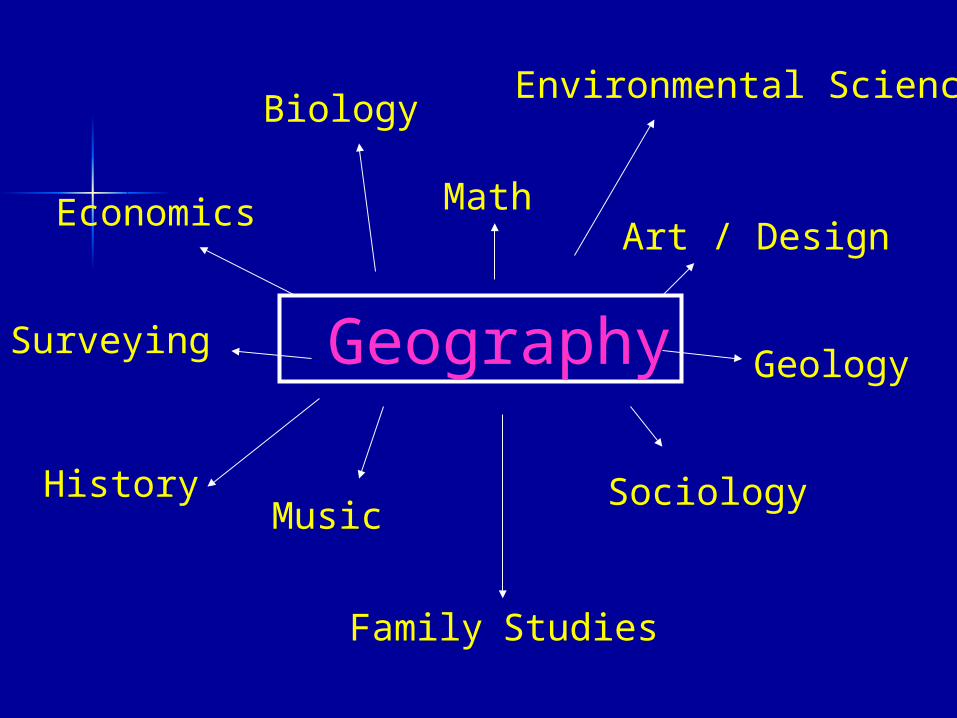
Geography
Economics
Biology
MathArt / Design
HistoryMusic
Sociology
Geology
Family Studies
Surveying
Environmental Science
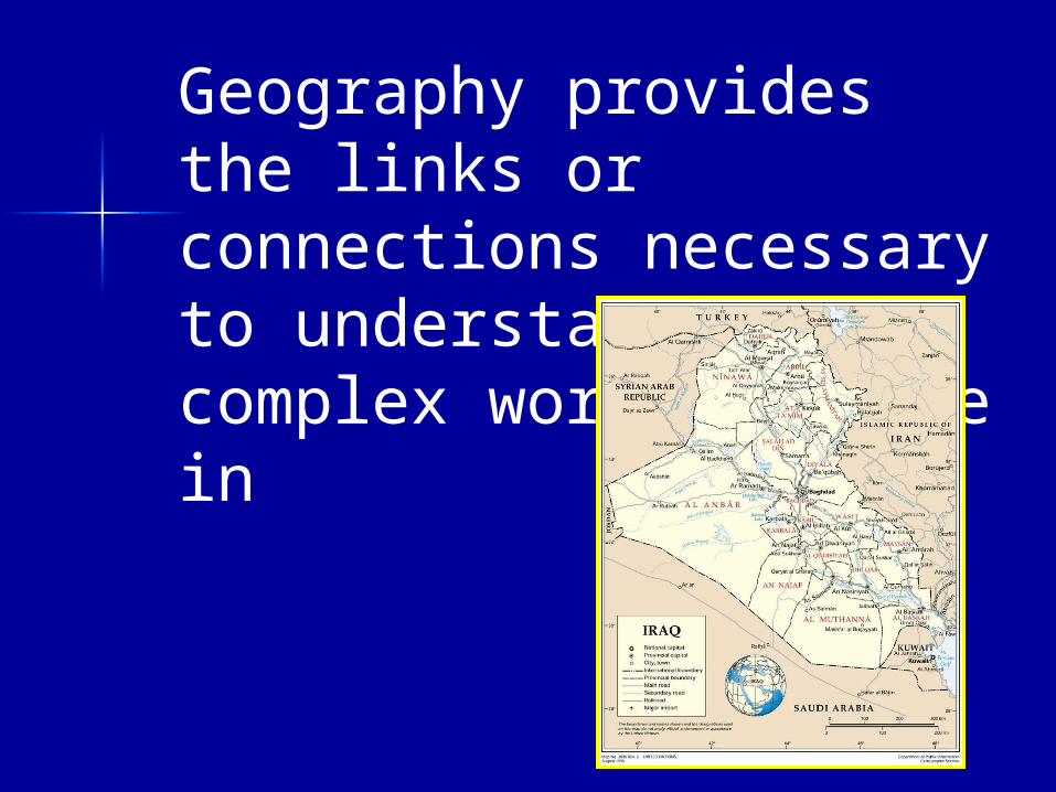
Geography provides the links or connections necessary to understand the complex world we live in
Uses of geography in everyday life
Now:
hunting, fishing, other forms of recreation – interpreting maps
creating a summer or permanent employment opportunity for yourself (demographics – lawn care for an aging population)
(economic opportunities – where are the most potential customers for your new business)
understanding the benefits of urban or small town university life
Uses in your everyday life
Future:
Where are you going to buy or build your house ? (price, conflicting land use, proximity to … )
planning travel – business/vacation
understanding what is happening in the world – being a globally literate person
A Future in GeographyCareers
Land Use Planning (urban, rural, recreational)
CartographySurvey EngineeringNavigationArchitectureGeographic Information SystemsReal Estate / AppraisalsOil industryTransportation System DesignBusiness Location AnalysisRemote Sensing (satellite imagery)
Environmental ScienceWildlife ManagementResource ManagementTravel IndustryEducationResearcherDisease ControlWilderness GuideMeteorology / WeatherCriminologyRegional Economic Dev.and othershttp://www.horton.ednet.ns.ca/jptrites/future
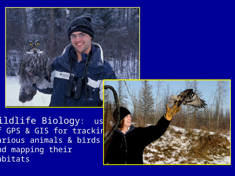
Wildlife Biology: use of GPS & GIS for tracking various animals & birds and mapping their habitats
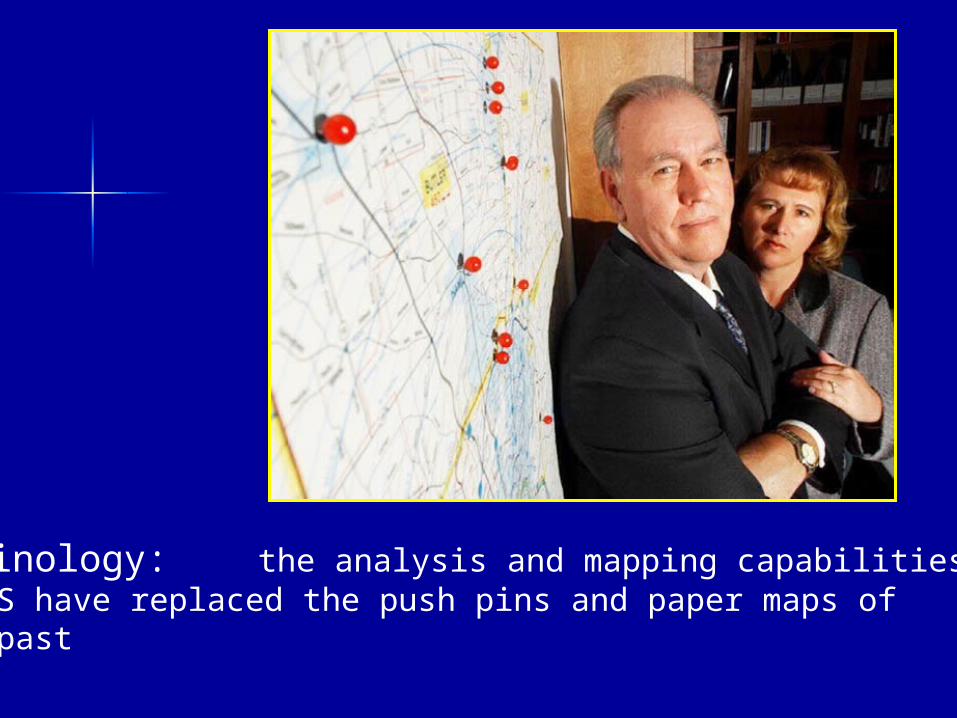
Criminology: the analysis and mapping capabilities of GIS have replaced the push pins and paper maps of days past
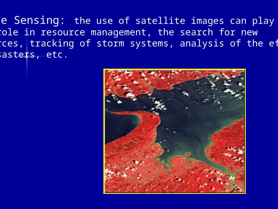
Remote Sensing: the use of satellite images can play a huge role in resource management, the search for new resources, tracking of storm systems, analysis of the effects of disasters, etc.
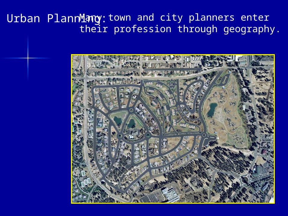
Urban Planning:Many town and city planners enter their profession through geography.
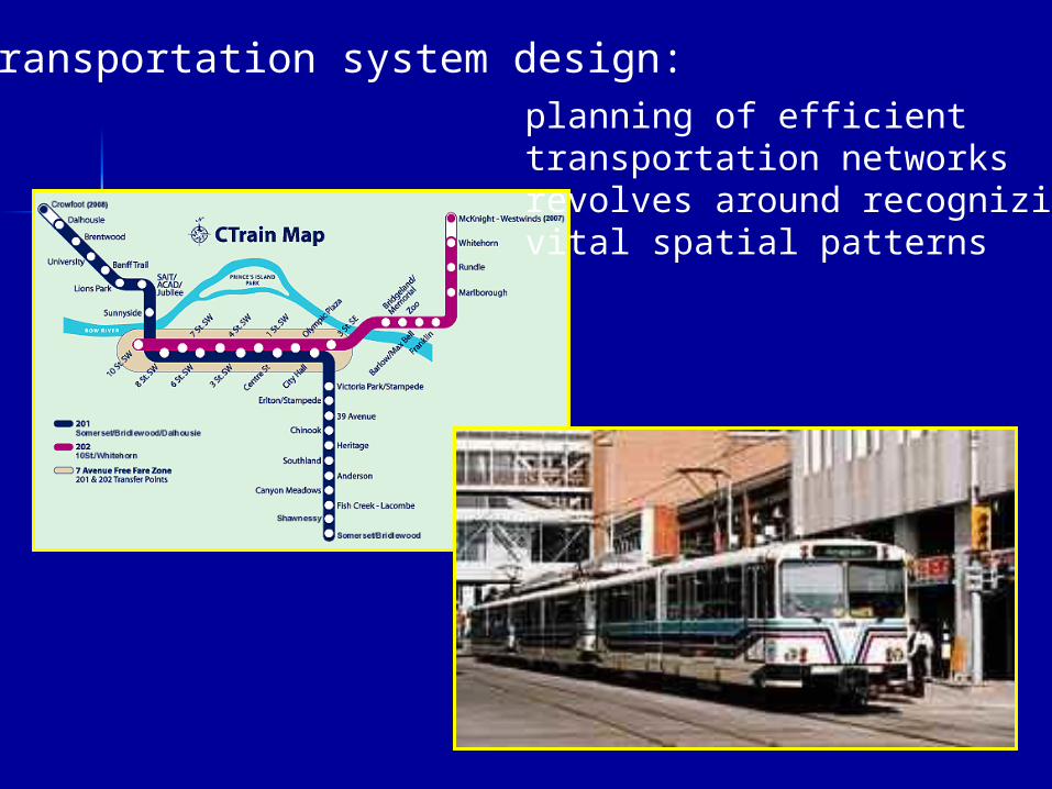
Transportation system design:planning of efficient transportation networks revolves around recognizing vital spatial patterns
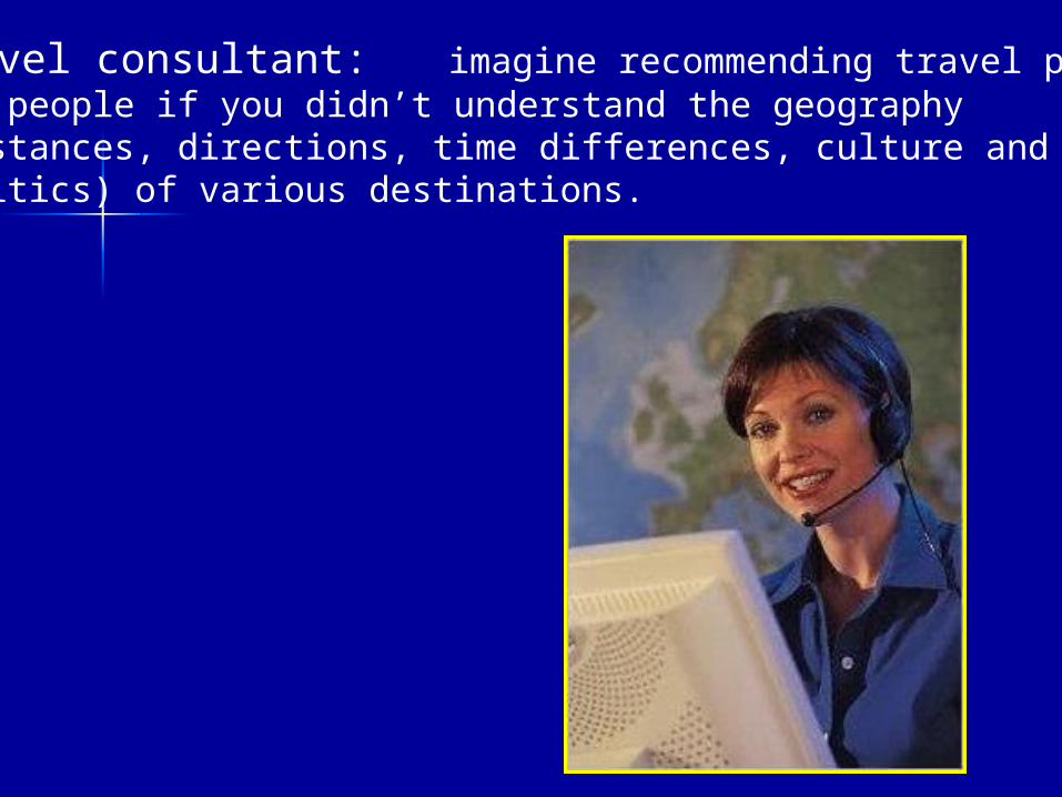
Travel consultant: imagine recommending travel plansfor people if you didn’t understand the geography (distances, directions, time differences, culture and politics) of various destinations.
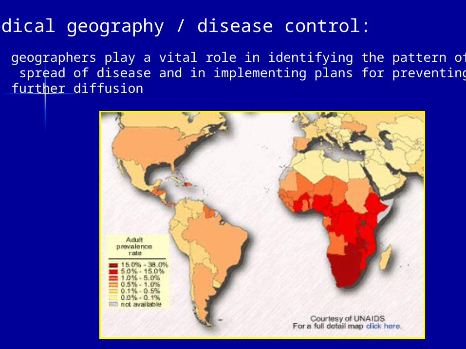
Medical geography / disease control:
geographers play a vital role in identifying the pattern of the spread of disease and in implementing plans for preventing further diffusion
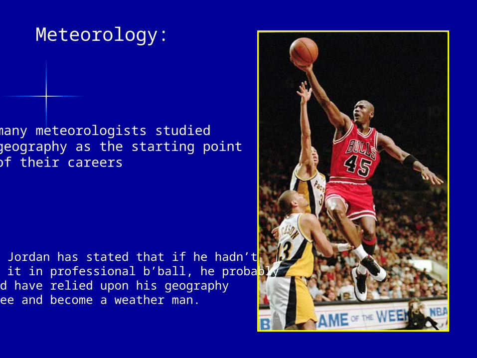
Meteorology:
many meteorologists studied geography as the starting point of their careers
Mike Jordan has stated that if he hadn’tmade it in professional b’ball, he probably would have relied upon his geography degree and become a weather man.
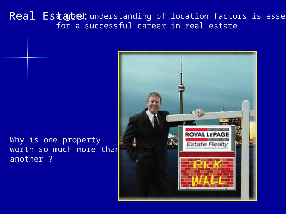
Real Estate:a good understanding of location factors is essentialfor a successful career in real estate
Why is one property worth so much more than another ?
A Future in GeographyPost-secondary institutions (universities and community colleges)
Mount Allison UniversitySt. Mary’s UniversityMemorial UniversityMcGill UniversityBishop’s UniversityUniversity of WaterlooUniversity of TorontoWilfred Laurier UniversityYork UniversityUniversity of Western Ont.McMaster University
Brock UniversityTrent UniversityLakehead UniversityLaurentian UniversityUniversity of ManitobaUniversity of AlbertaUniversity of CalgaryUniversity of Sask.University of B.C.University of Victoria
Centre of Geog. Sciences
http://www.horton.ednet.ns.ca/jptrites/future
Sources of Images Toronto CBD http://www.stanford.edu/~wavelet/photos/Summer04/Toronto-NiagaraFalls/TorontoDowntown_large.jpg
fast food place http://www.thelifestylecompany.com/articles/images/FastFood04.jpg
Slums http://www.forestave.org/images/Bangalore%20slums.jpg
Ring of Fire http://msnbcmedia.msn.com/i/msnbc/Components/Interactives/Technology_Science/Science/Ring_of_fire.jpg
Hurricane Damage http://news.bbc.co.uk/olmedia/470000/images/_474296_georges300.jpg
Hurricane Floyd http://rsd.gsfc.nasa.gov/rsd/images/Floyd/Floyd_19990914_1259_hg.jpg
house with house # and street sign mj trites
2 researchers with owls mj trites
map with lats. and longs. http://academic.brooklyn.cuny.edu/geology/leveson/core/linksa/longlatquiz1.html
Tim Hortons http://www.dsra.ca/projects_tim_hortons.html
Traffic light http://www.esandafleet.co.nz/
grain elevators http://davidplowden.com/photographs/Rural/image/22DPRualAmerica.jpg
smoke stack http://www.sierraclub.org/insider/images083104/smokestack.jpg
Canadian regions http://www.unb.ca/web/transpo/mynet/map.gif
Appalachia http://www.a-spi.org/AGF/
Hercules http://www.airforce.forces.gc.ca/news/2004/10/grfx/wallpaper/IS2004-8045a.jpg
Clearcutting http://www.mcgregor.bc.ca/forestResearch/forestPractices/images/Clearcut.jpg
Bryan Adams http://www.adayonthegreen.com.au/images/media/badams2.jpg
Horses http://www.nwclydes.com/images/hankhunt.jpg
Shamanism https://vault2.secured-url.com/counter_culture_secure/images8/21%20exploring%20shamanism.jpg
Oil tanker http://www.planktos.com/images/techno1.jpg
Sources of Images cont’d.
Exxon Valdez cleanup http://www.fathom.com/course/21701790/hose.jpg
China population policy http://www.iisg.nl/~landsberger/images/pop08.jpg
Poster for many children http://www.lotsofkids.com/mainsite/lok-button2.gif
Protestant school in Belfast http://saltspring.gulfislands.com/weisner/Belfast%20School.jpg
Neighbourhood in Belfast http://saltspring.gulfislands.com/weisner/Ireland.html
Flags in Protestant neigbourhood http://sophiebaquey.free.fr/home/ireland.htm
Beef steak http://www.chile-pepper-sauces.com/images/Grilled%20steak%20with%20peppers.jpg
Michael Jordan http://www.kenston.k12.oh.us/khs/feature_stories/michael_jordan.jpg
Real Estate http://www.rickwall.ca/images/Rick_TO_RLP2.jpg
Urban Planning http://www.nc3d.com/albums/ArchPlanning/demoliton_proposed_sm.jpg
Woman at Gas Station http://www.jasonbaker.net/world/spain/woman-at-gas-station.jpg
Travel agent http://www.suneasttours.com/travel_agent.jpg
Calgary LRT http://www.calgaryplaceapts.com/img/shots/train.jpg
Calgary LRT map http://www.calgarytransit.com/Routes/ct_train_map.gif
B of Fundy satellite image http://www.ccrs.nrcan.gc.ca/ccrs/learn/tour/23/23ns_e.html
Ellemere Is. http://www.geo.de/GEO/wissenschaft_natur/2004_11_GEO_kompakt_eisplanet/auto_01.jpg
Ellesmere Is. map http://www.ourhollowearth.com/Arctic2.jpg
Iraq map http://www.globalsecurity.org/military/world/iraq/images/iraq-map_un1996.jpg