Embed Size (px)
Citation preview

11
ISyE 6203Radical Tools
Intro To GIS: MapPointJohn H. Vande Vate
Spring 2012
22
Agenda
• Team Presentations– Challenge 2A– Challenge 2B
• Radical Tools
• Intro To GIS: MapPoint

33
Radical Tools• Available in the labs• I’ve also posted a link so you can install on
your machine – not for commercial use• Excel Add-in
– Includes• Zip code look up• Zip code to City, State• 3-digit zip to Zip• Road distance between Zips• Find the closest point in a set of Zips• Find the cheapest (in terms of LTL rates) point• Rate LTL shipments• Rate Parcel shipments

44
Radical Tools

55
Radical Tools
Also works with Databases

Intro To GIS
• Useful Tool: GIS
• Geographic Information System– Links databases and maps– Useful for addressing questions like:
• Where should we …?
• How far away are…?
• How are …. distributed?

GIS
• Spatial data– Location – Stored in a shape file, geodatabase, …
• Attribute data– Associated characteristics– Stored in DB
• GIS systems typically maintain these separately and “join” them for display or analysis

Geographic Data
• Raster model– Area covered by a grid of square cells– Image data is a Raster model, cells = pixels
• Vector model – Features represented as
• Points or nodes
• Lines or arcs
• Areas or polygons

Geographic Data
• Key Properties of Geo Data– Projection: The method of translating locations on
the 3-D earth to (X,Y) coordinates on a map or screen
– Scale: The ratio between distance on a map to the equivalent distance on earth
– Accuracy• Positional: Is it in the right place?
• Consistency: Is it correctly categorized?
• Completeness: Is it all there?
– Resolution: e.g., pixel size

Layers
• Different geo data maintained in different data layers with common location information,
Raster Layer: Digital Ortho photo: combines the visual properties of a photograph with the positional accuracy of a map, in computer readable form.
Vector Layer:Lines defining the street network
Vector Layer:Polygons describing land parcels
Smart MapDifferent layers linked by common locations

Software Tools
• ESRI – ArcView, ArcGIS and others
• MapInfo – MapInfo and others
• MS – MapPoint (Tutorial, etc)
• Many others

Geocoding
• Geocoding: – Placing data with location information on the map
• LatLong
• Street Address
• Examples: – Geocode Stores by ZIP (OurCompany.xls)
– Geocode Census Data by ZIP (US Census , Data.gov and private vendors sell demographic data)
Bank Failures

Thematic Maps
• Thematic Maps: – Display the attributes of geographic data
• Examples: – Population
• Sized Circles
• Shaded Regions
– Median Household Income• Shaded Regions

Geographic Queries
• SQL-type query based on geographic information: – Eg. Average household income within 20
miles of Store # 1
• MapPoint is quite poor at this• The 2011 version can do crude selections• Example:
– Household income within 20 miles of Store #1

Distance Calculations
• As the crow flies– Using the Measure Distance Tool
• Over the road– Using the Route Tool
• Add Store #2 as Start• Add Store #1 as End• Get Directions• Over the road distance• Can adjust route options for speeds, hours of
driving, rest stops, …

Territories
• Given fixed centers develop territories based on proximity to those centers
• MapPoint is very poor at this– Either you import them or you build them
by hand…– Other (more expensive) packages do this
automatically
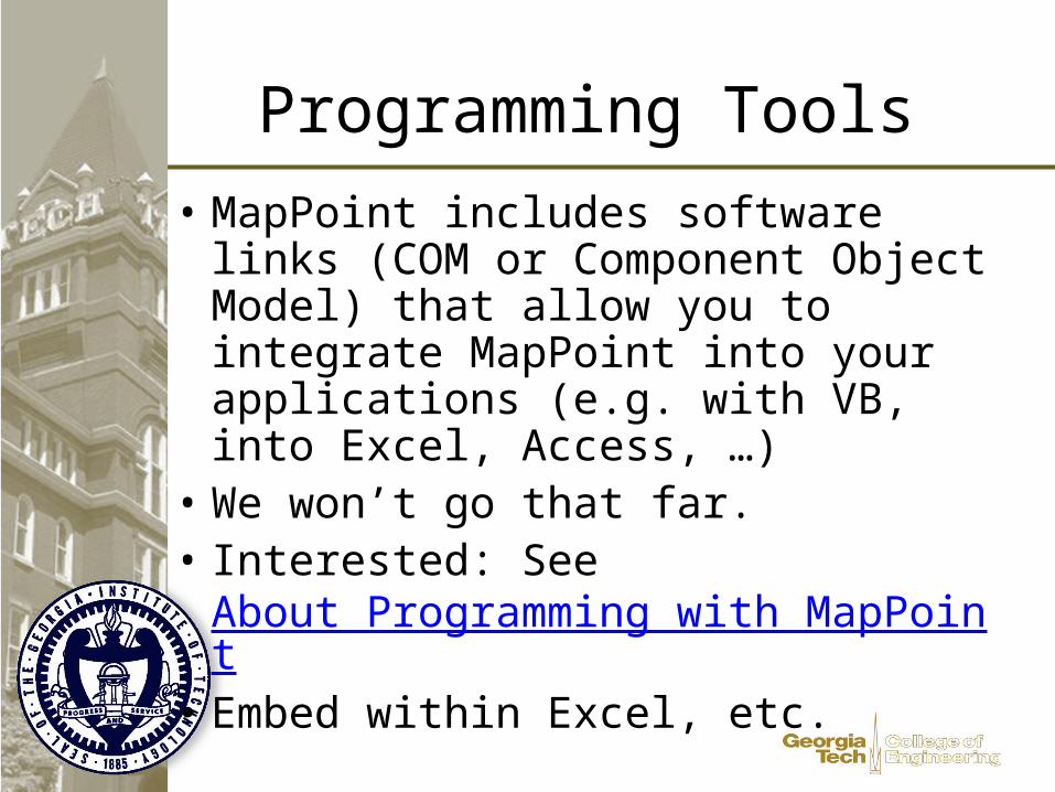
Programming Tools
• MapPoint includes software links (COM or Component Object Model) that allow you to integrate MapPoint into your applications (e.g. with VB, into Excel, Access, …)
• We won’t go that far. • Interested: See
About Programming with MapPoint• Embed within Excel, etc.