Embed Size (px)
Citation preview
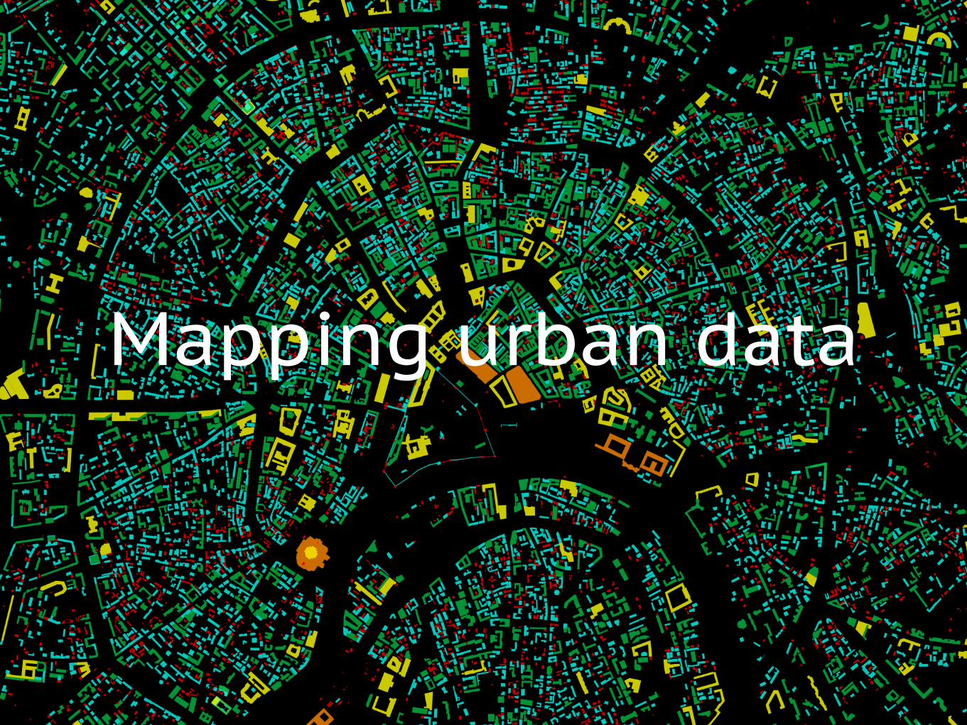
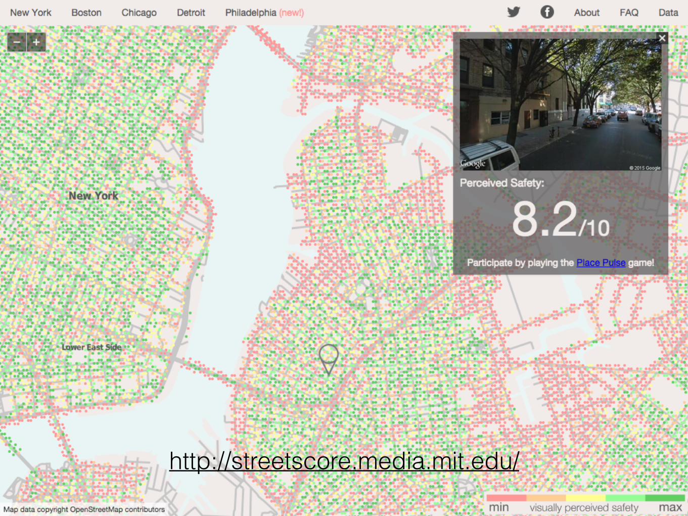
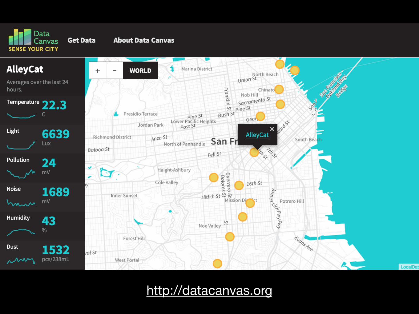
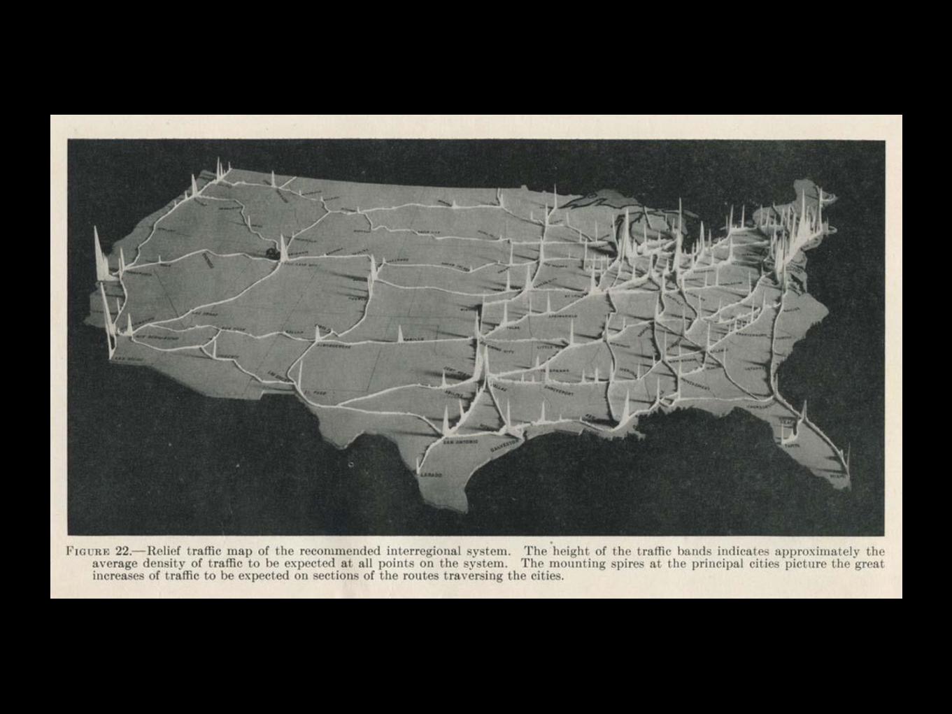
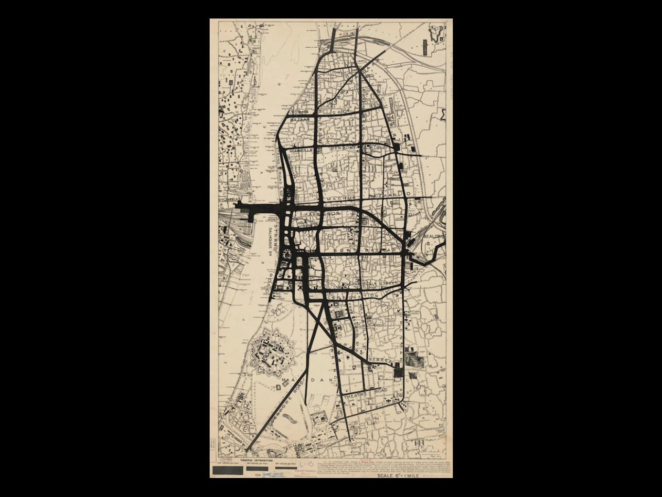
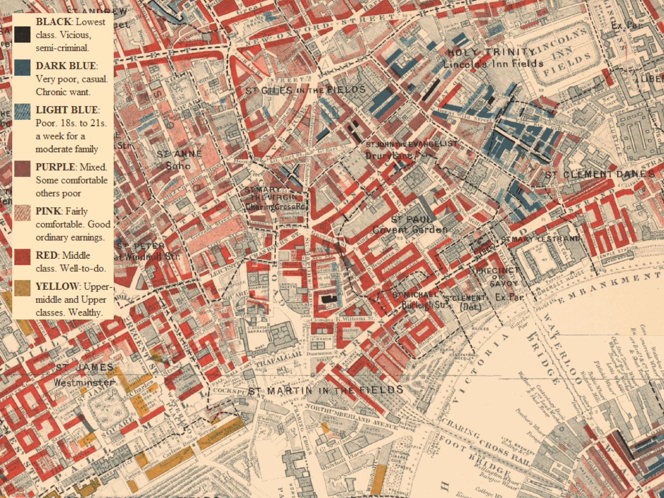
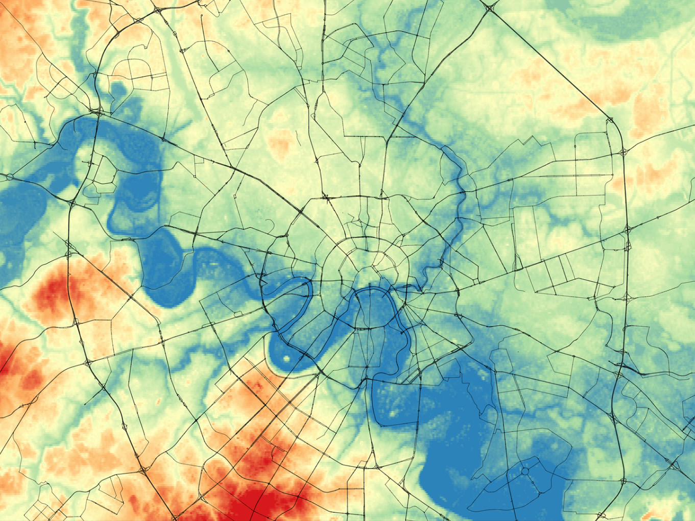
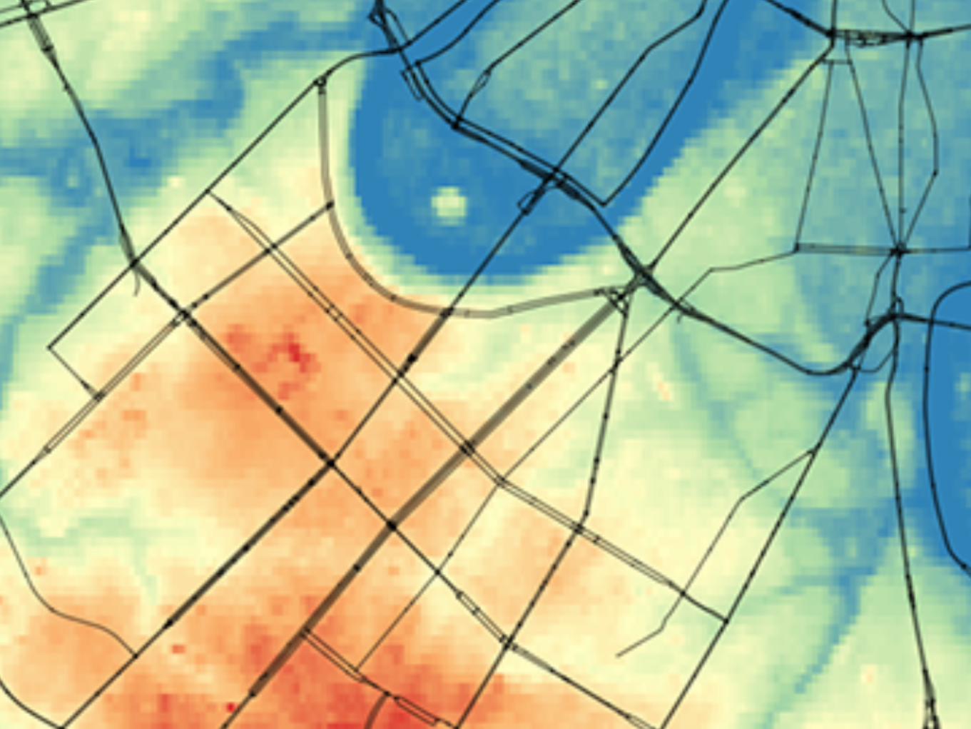
Mapping urban data
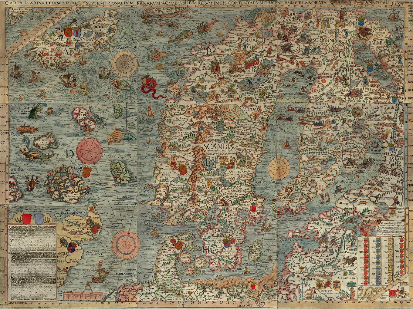
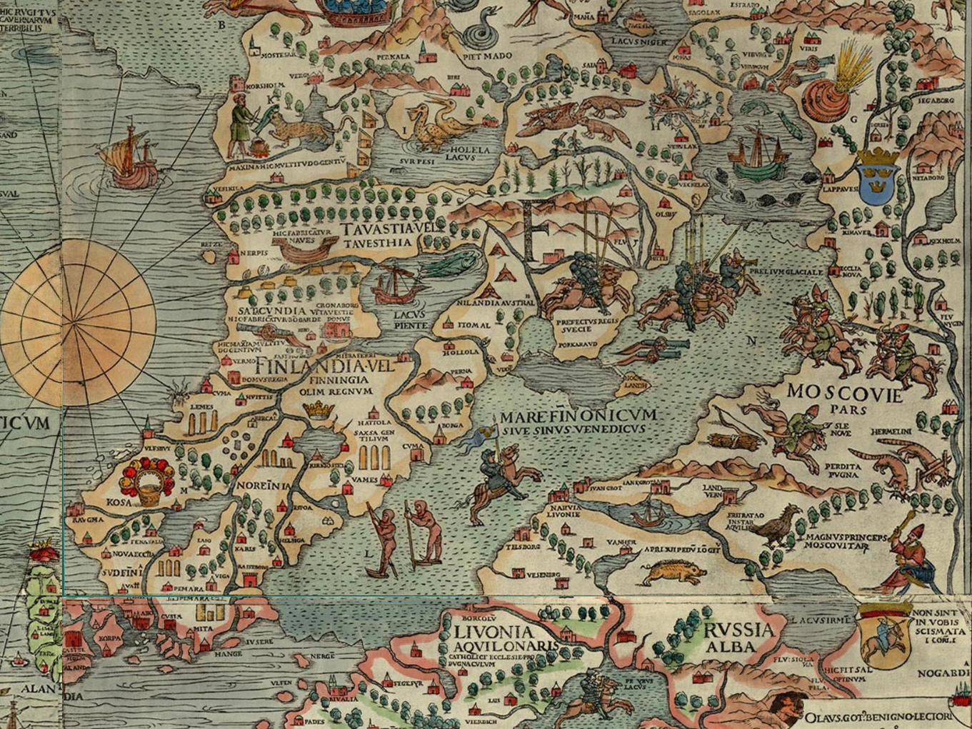
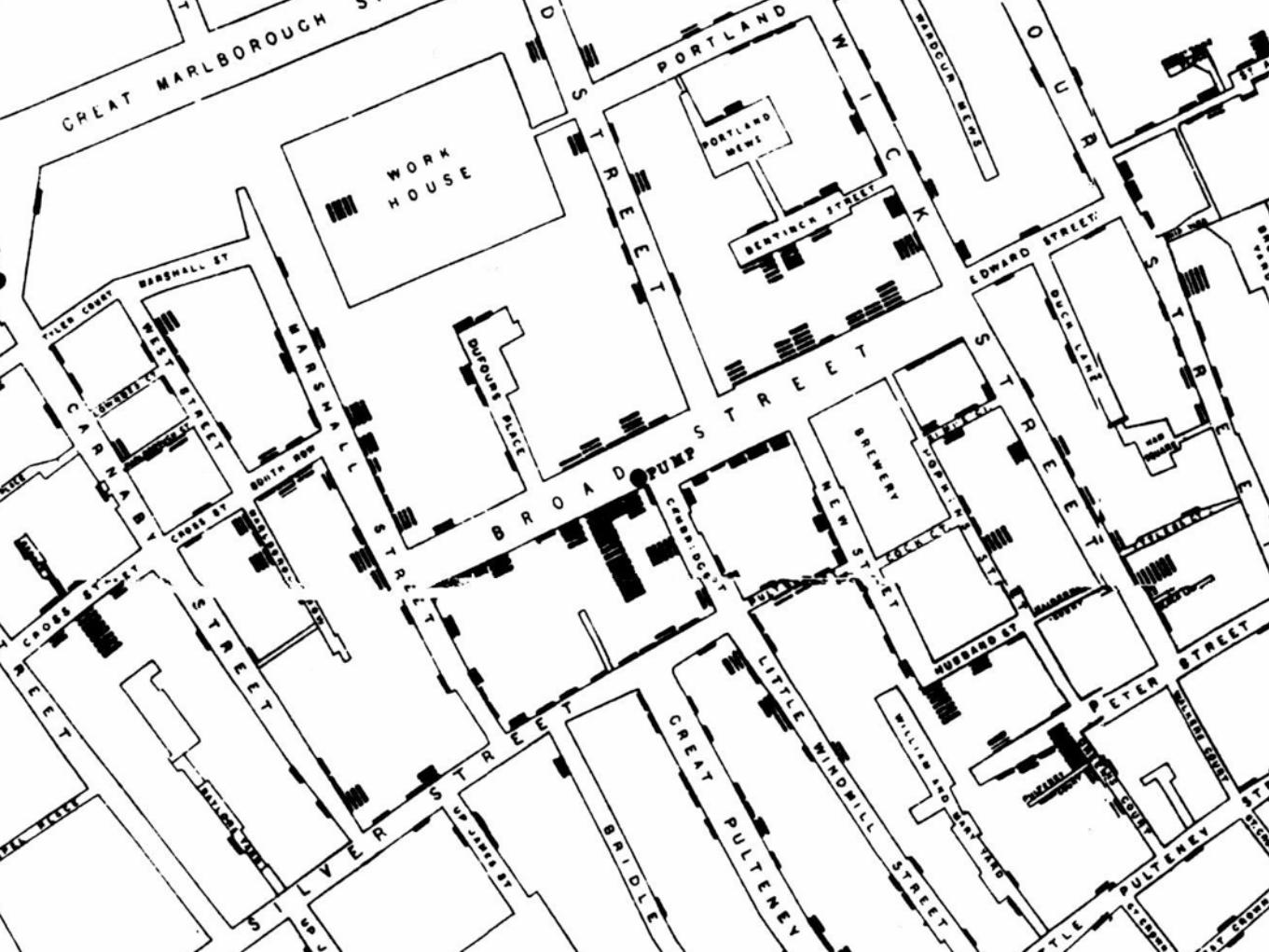
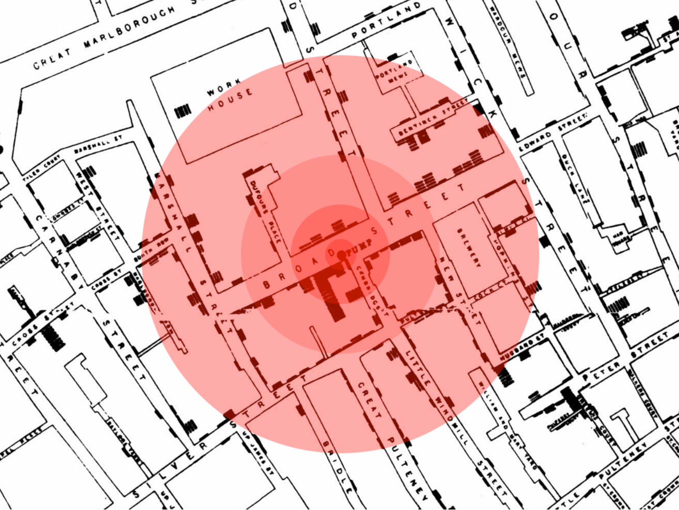
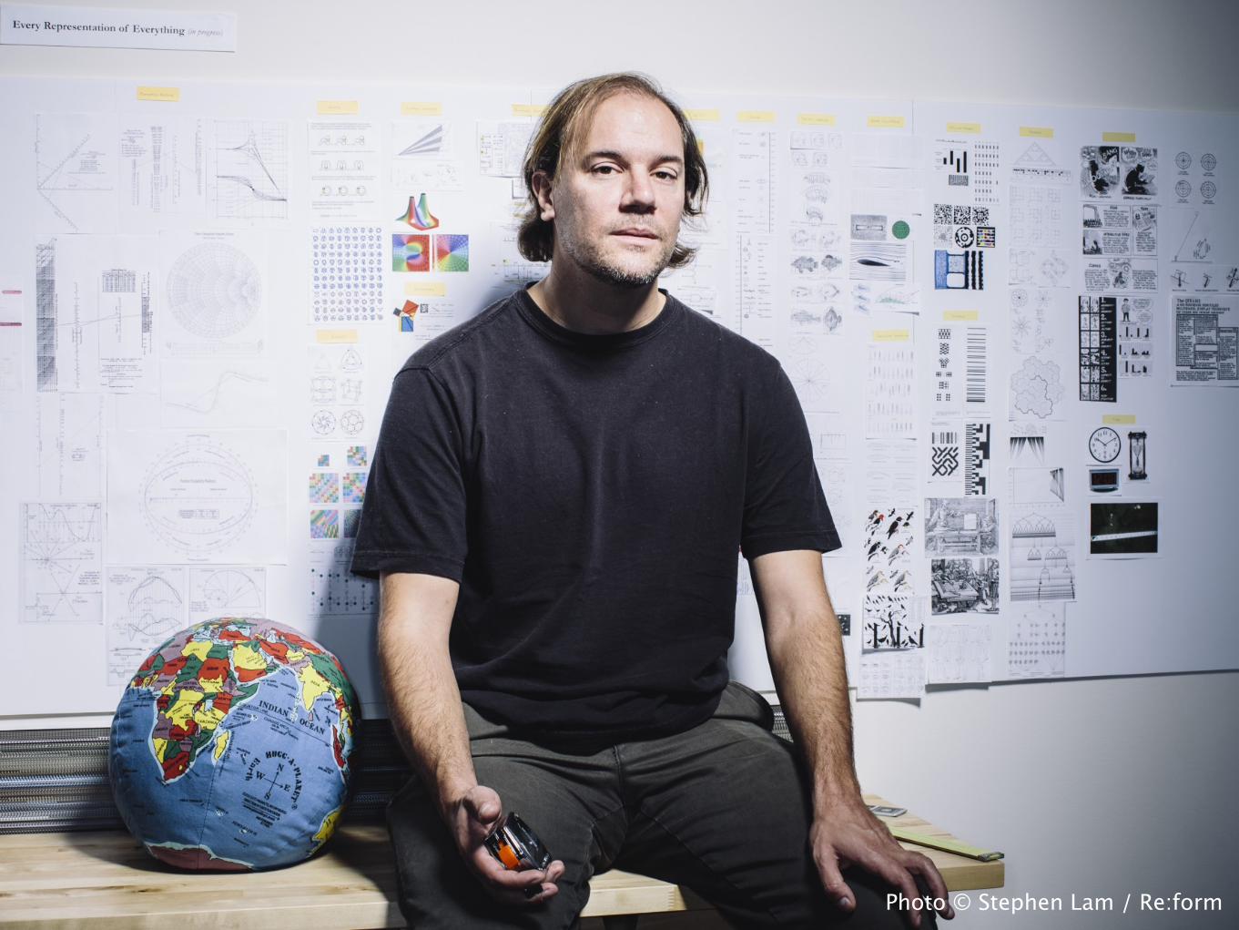
Photo © Stephen Lam / Re:form

And I'm not going to talk about technology. That's the easy part, in a sense, because we control it. Technology can be invented; human nature is something we're stuck with.
I'm going to talk about that neglected third factor, human capabilities. What people can do. Because if a tool isn't designed to be used by a person, it can't be a very good tool, right?
Bret Victor, «A brief rant on the future of interaction design» http://worrydream.com/ABriefRantOnTheFutureOfInteractionDesign/

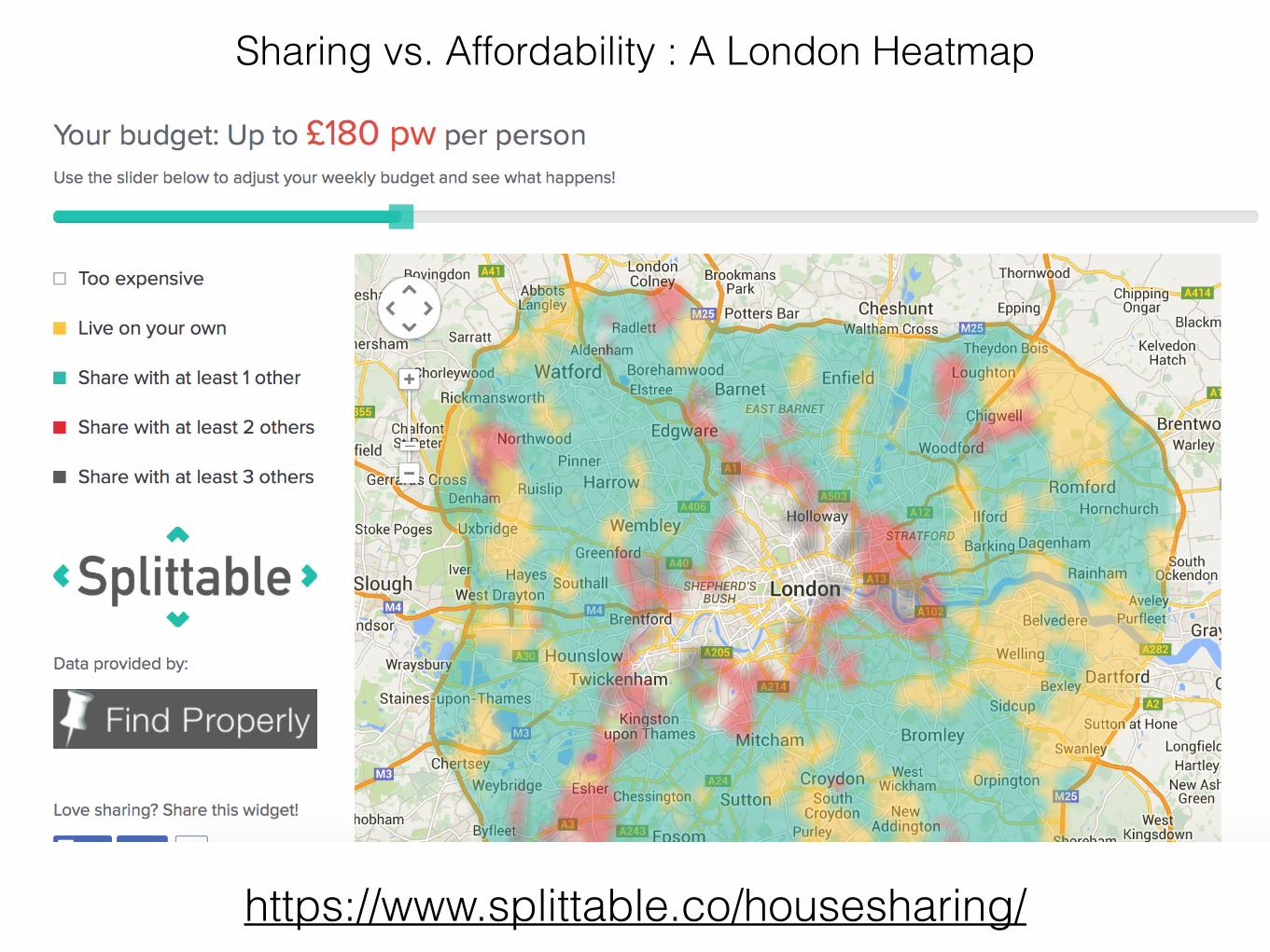
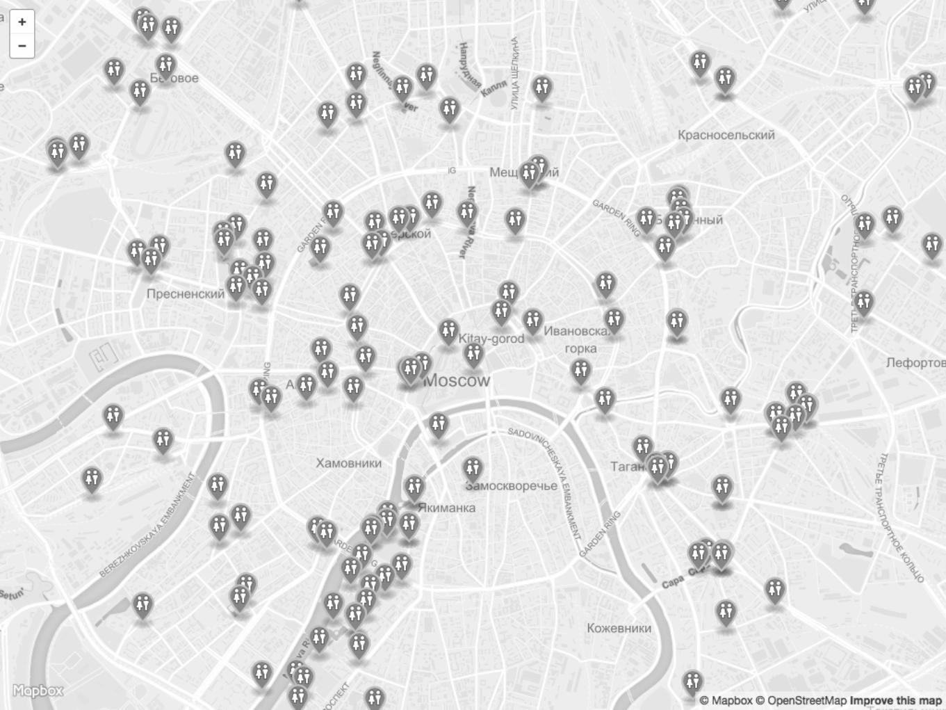
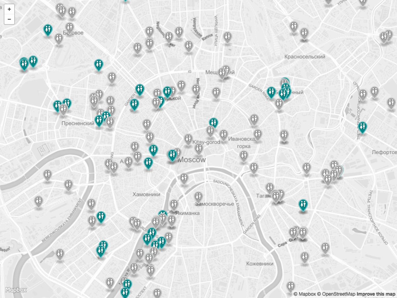
https://www.splittable.co/housesharing/
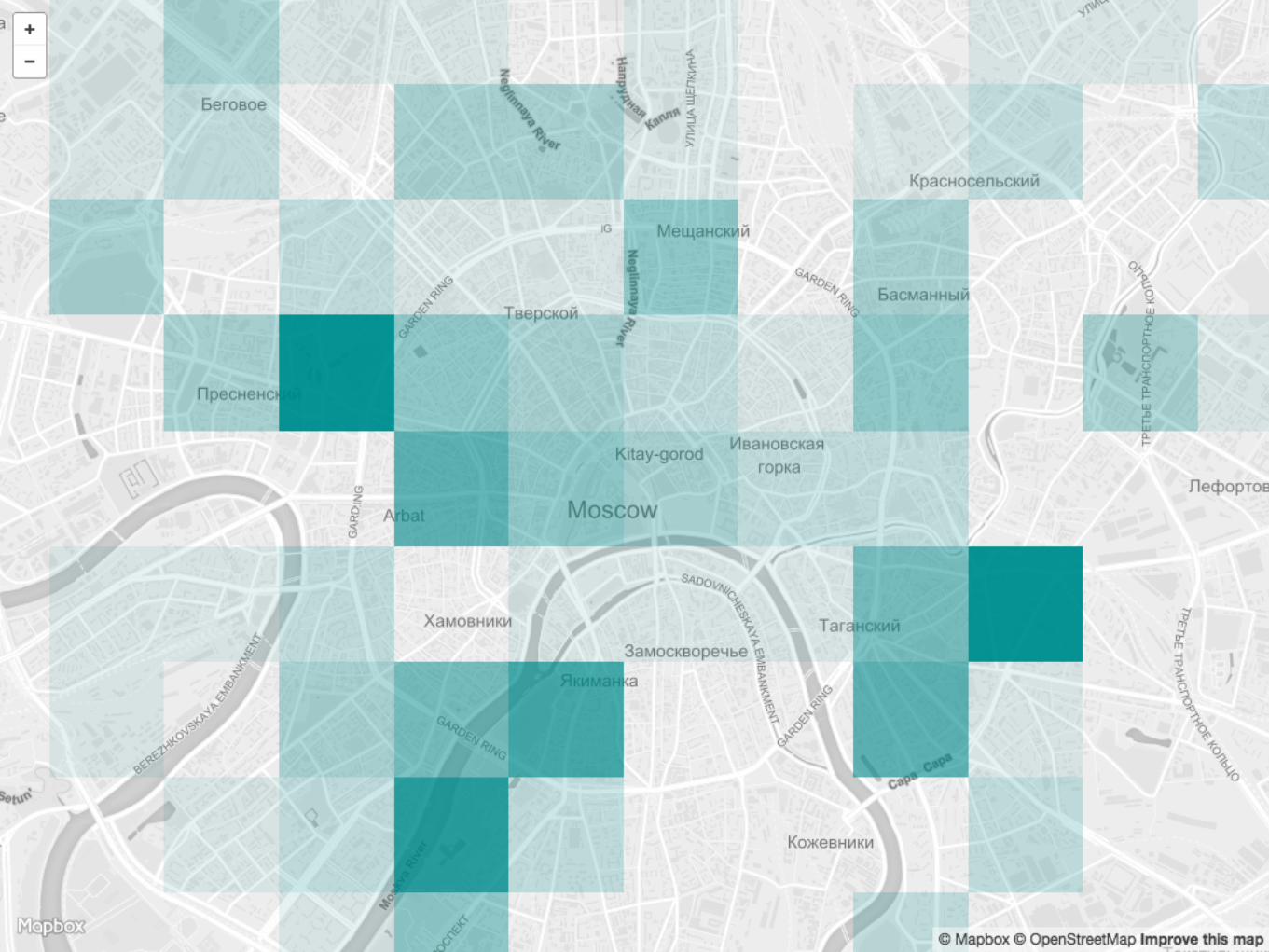
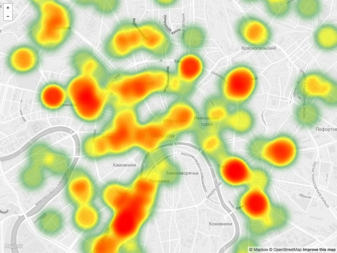
Sharing vs. Affordability : A London Heatmap
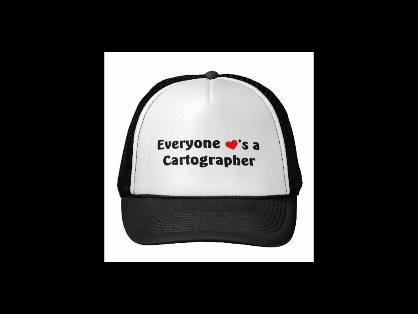
Everyone is a cartographer
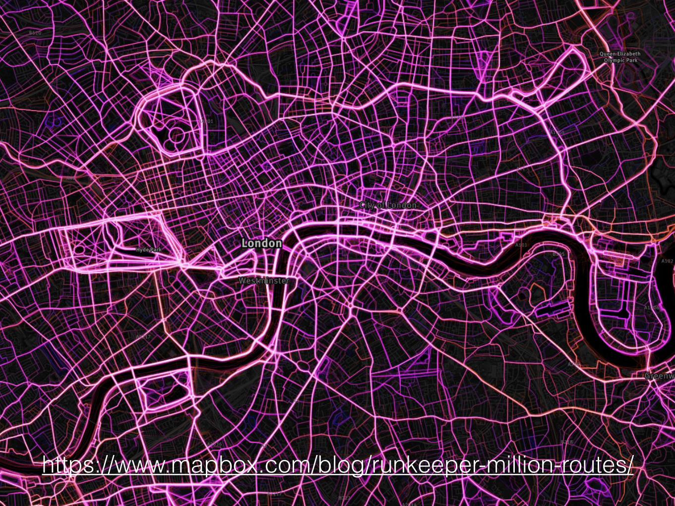
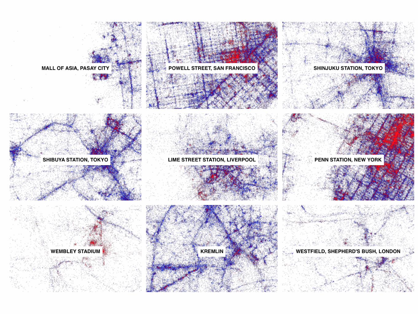
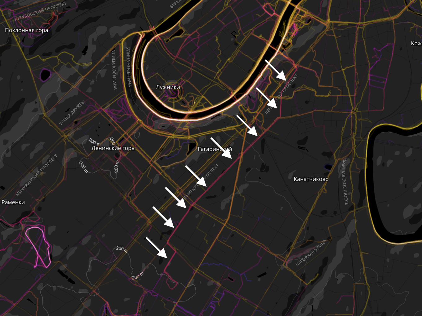
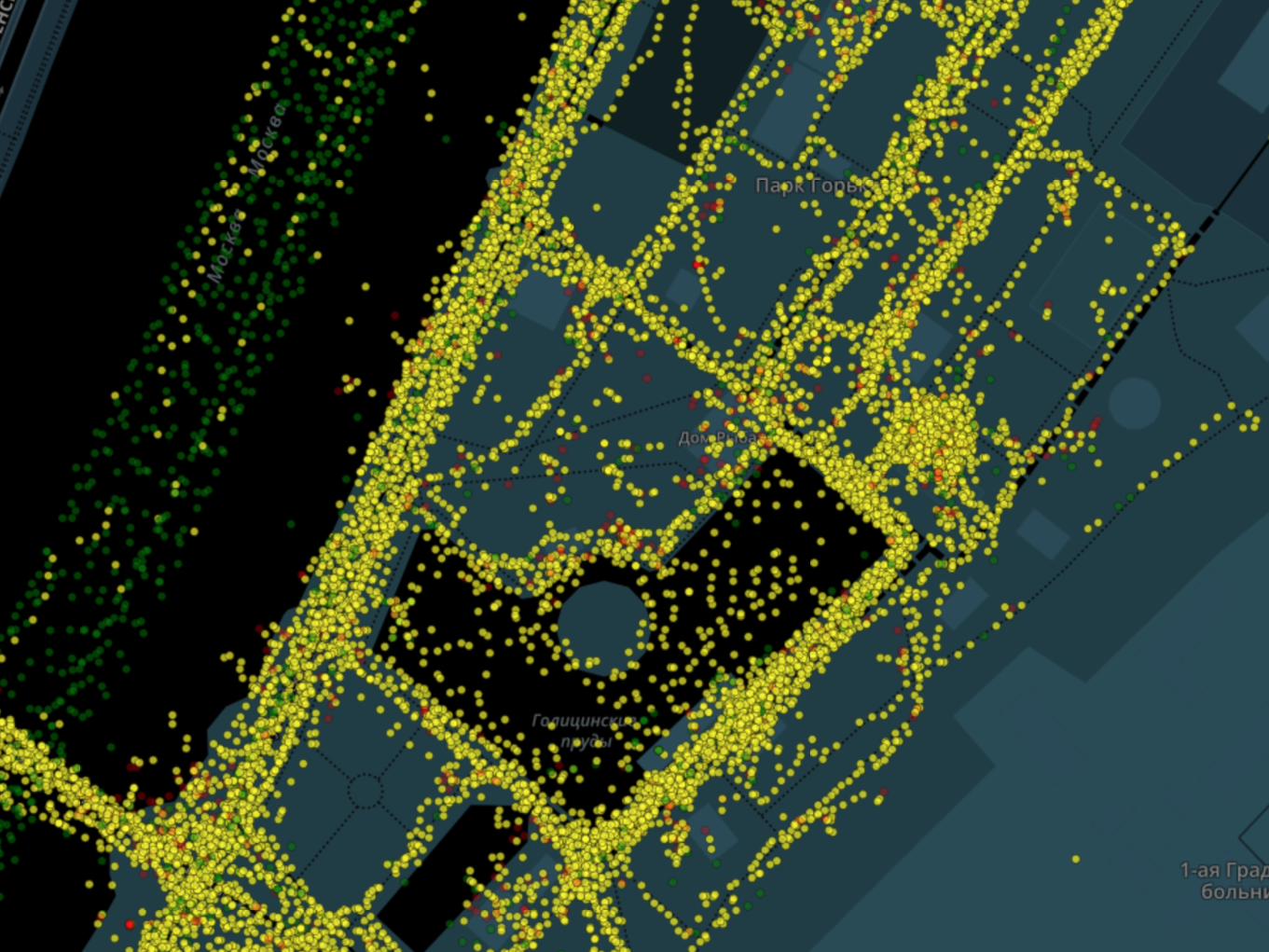
https://www.mapbox.com/blog/runkeeper-million-routes/
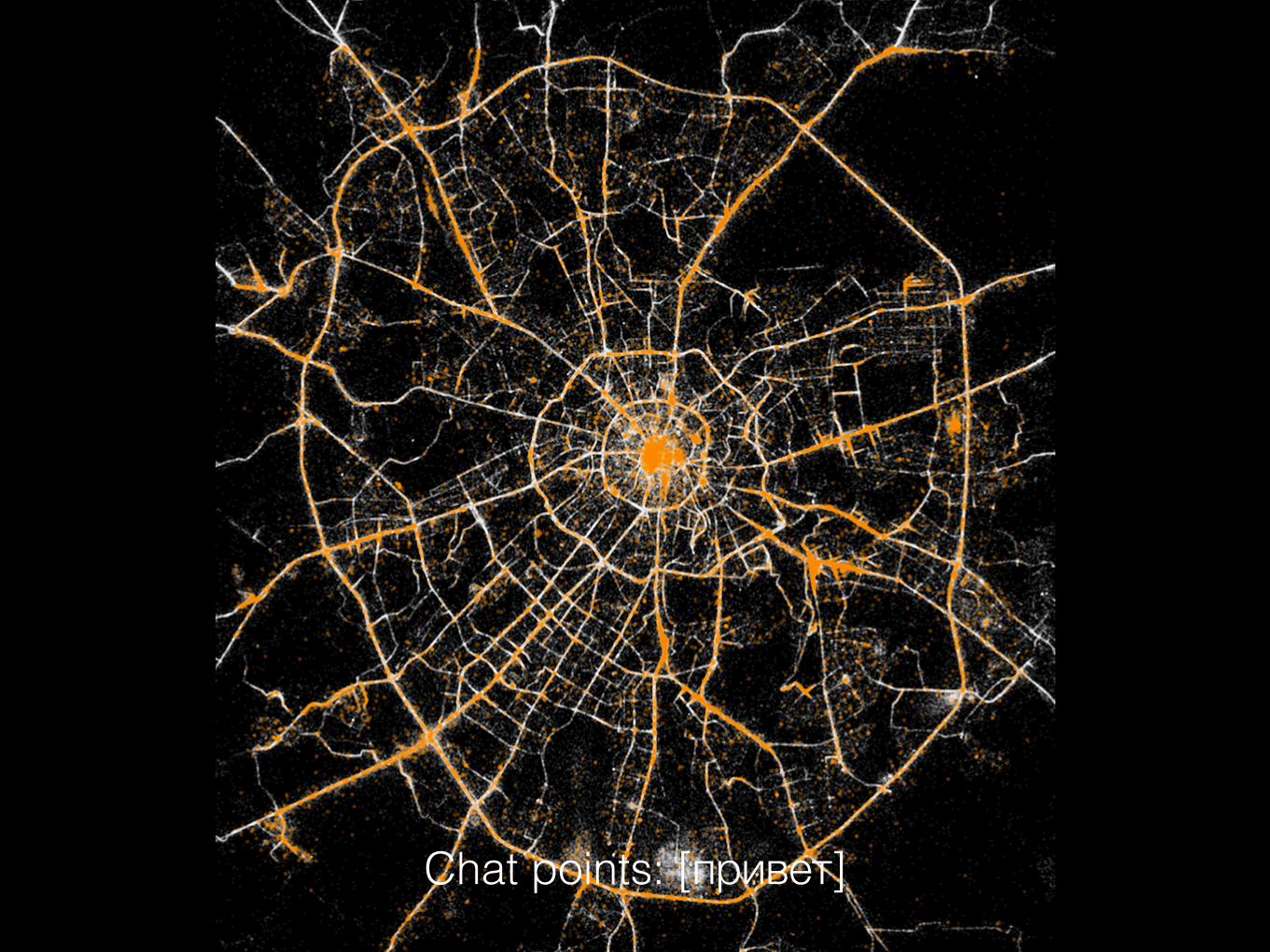
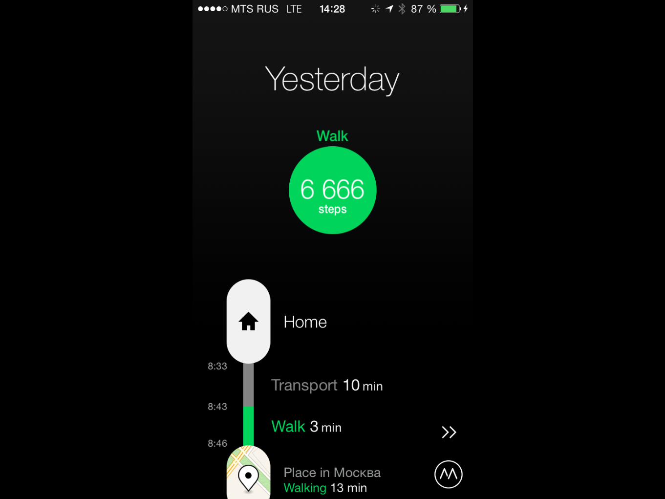
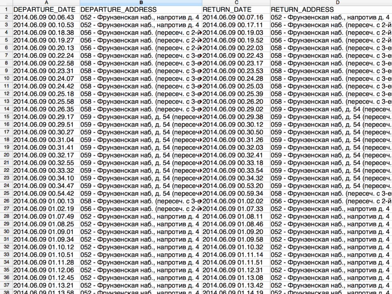
Chat points: [привет]
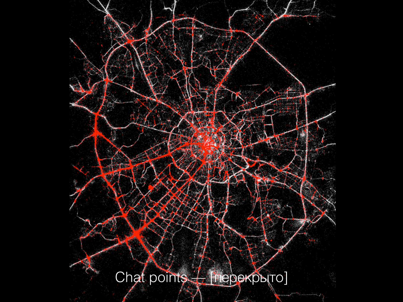
Chat points — [перекрыто]
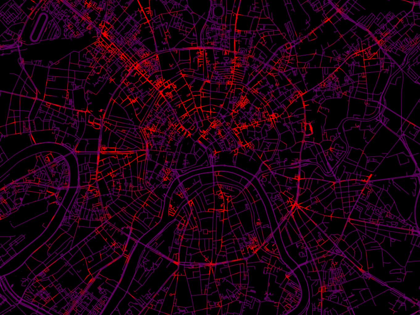

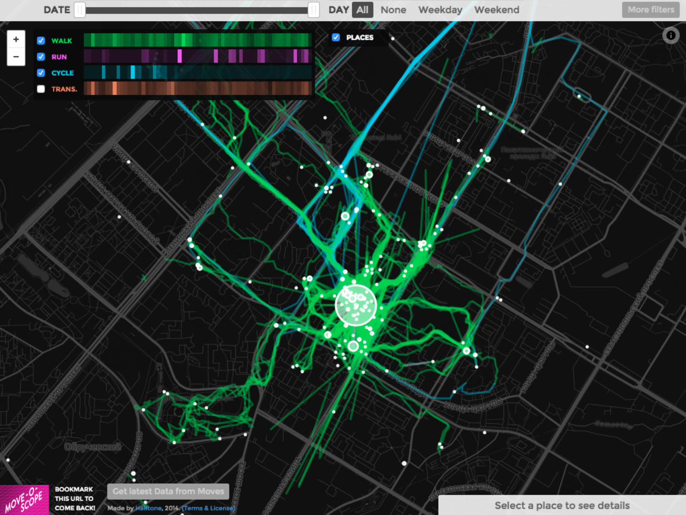
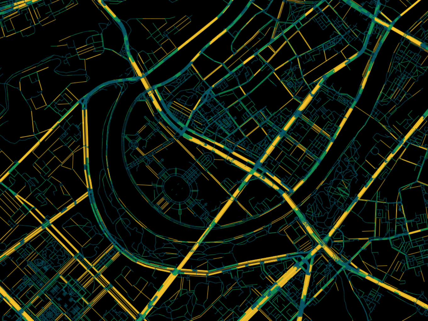
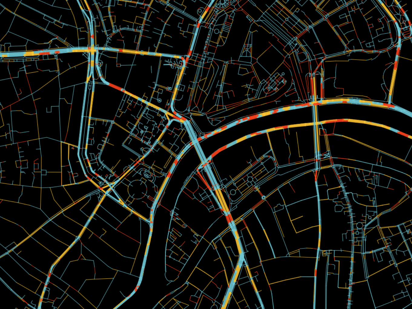
Surface
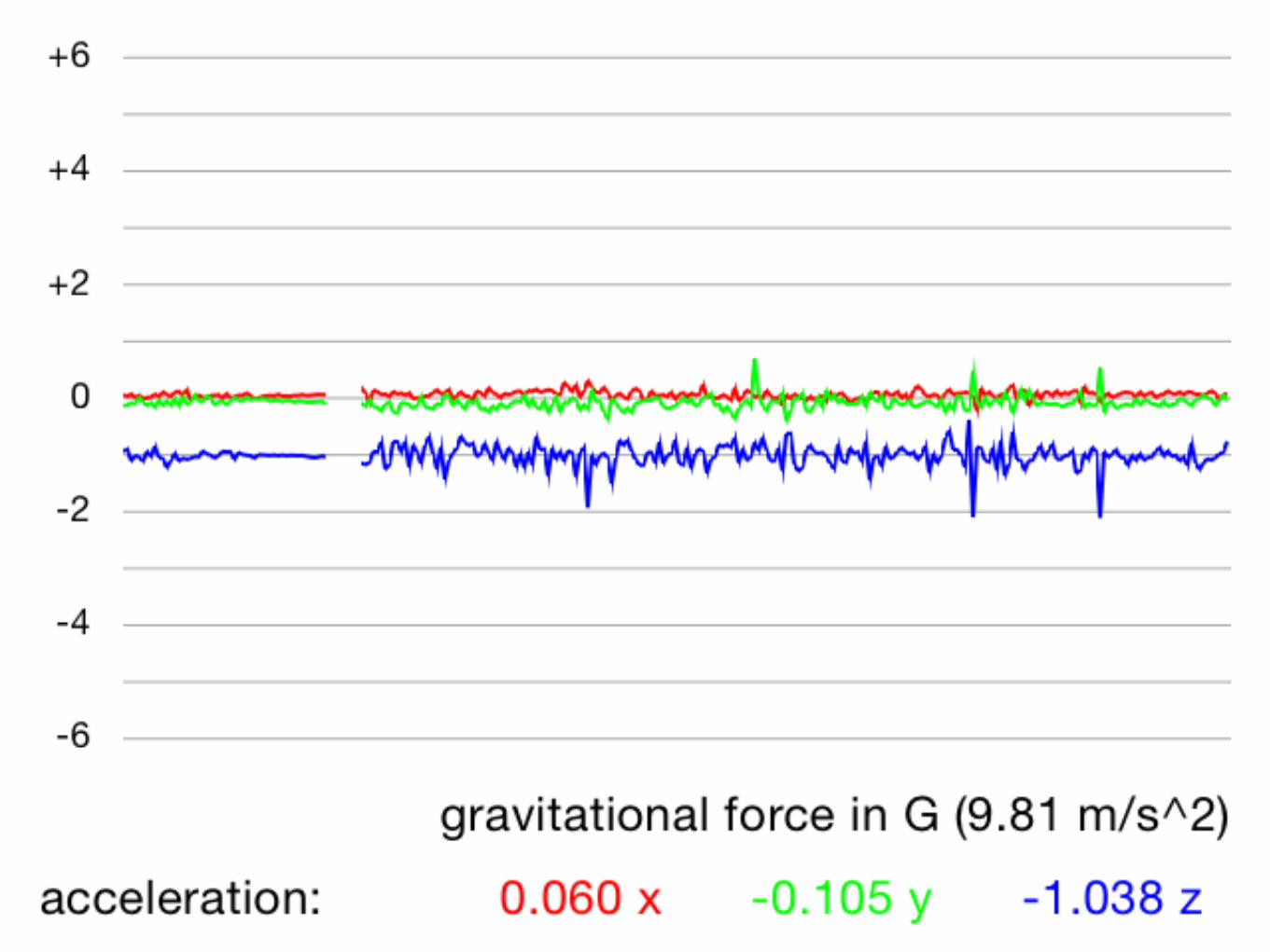
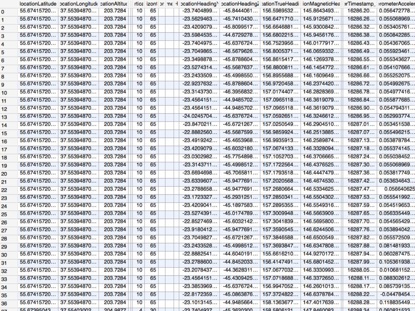
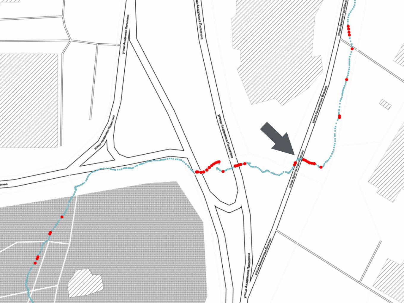

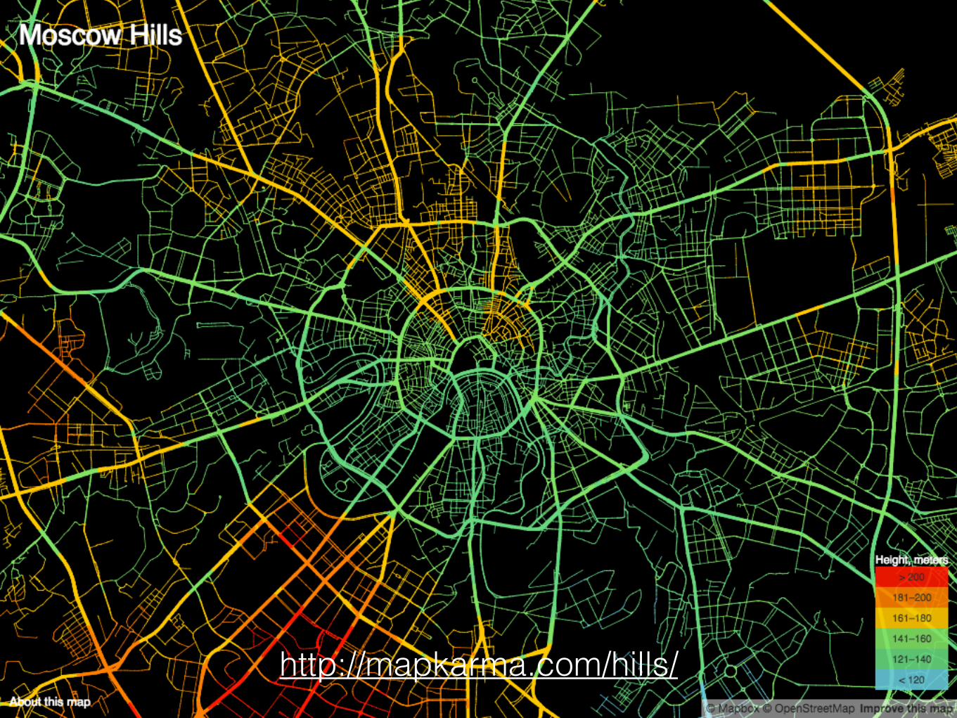
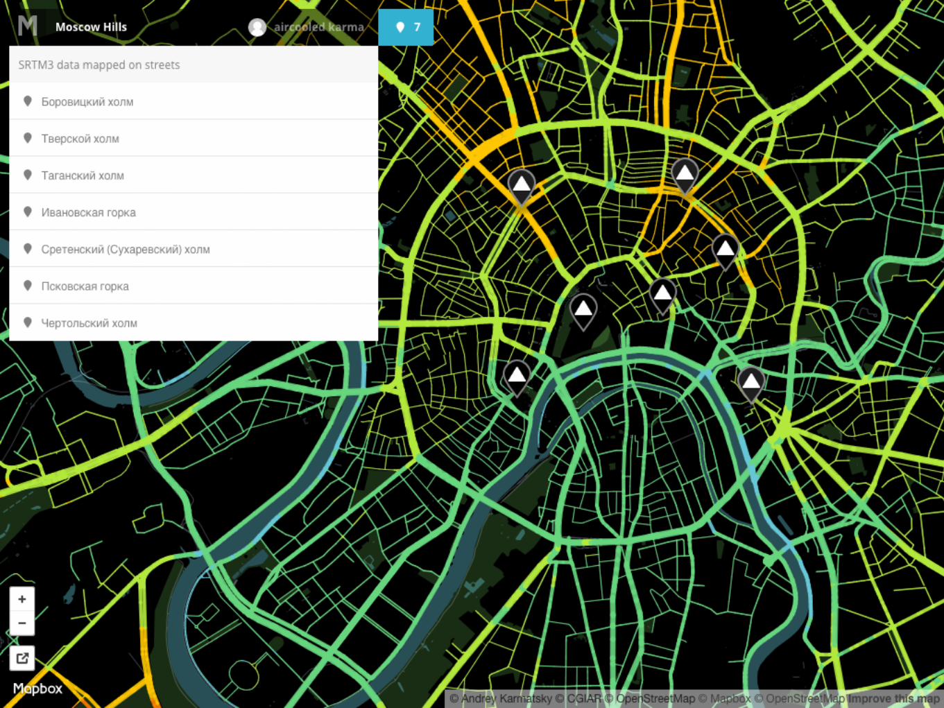
Hills
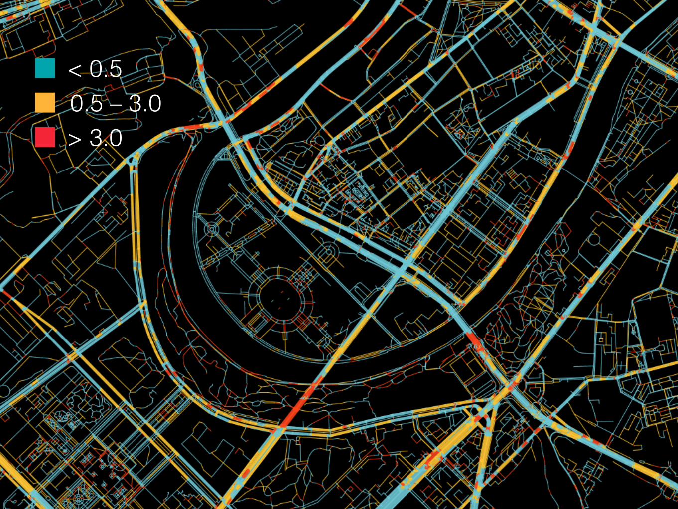
< 0.50.5 – 3.0> 3.0

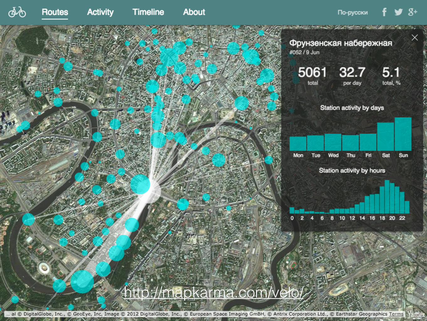
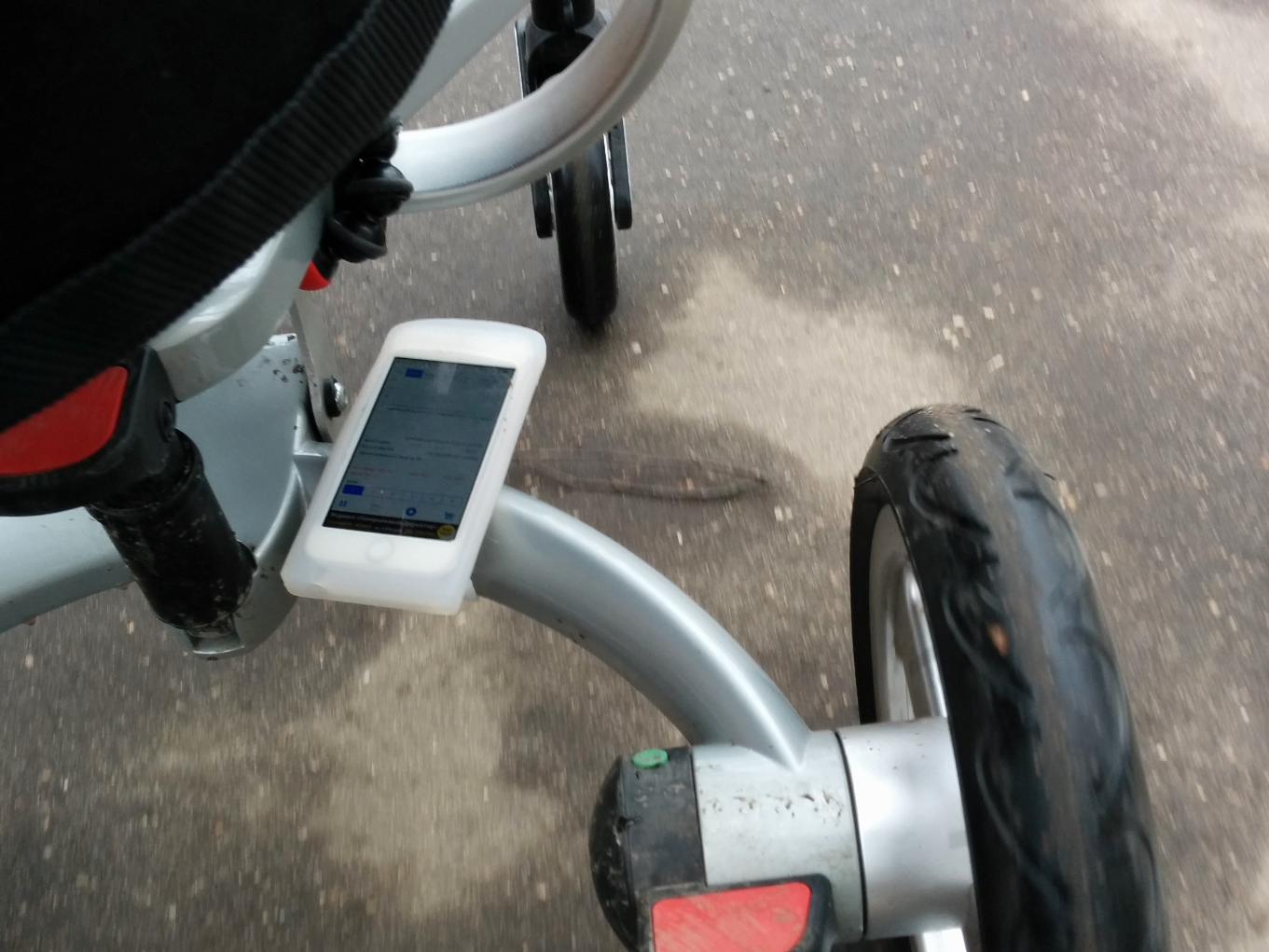
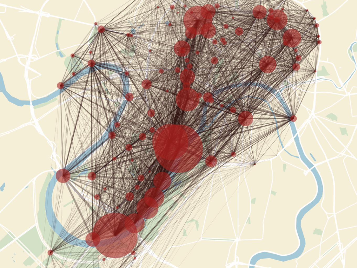
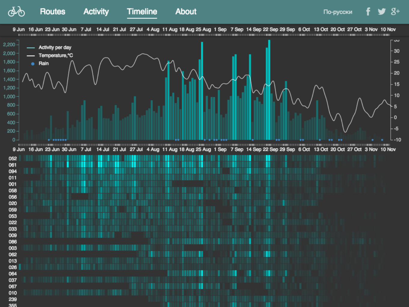
Velo

http://mapkarma.com/bikes/

«Бытовая картография»
facebook.com/groups/geoviz
Онлайн-курс «Визуализация геоданных»
github.com/minikarma/geotalk
Maps and Geospatial Revolution
coursera.org/course/maps

Спасибо!
mapkarma.com


![ОЦЕНКА ЗАГРЯЗНЕНИЯ ГОРОДСКИХ ПОЧВ …soil.msu.ru/attachments/article/1996/...металлы [11]. Наименее подвижными являются](https://img.pdfslide.us/doc/110x75/5f0a60827e708231d42b56cc/-soilmsuruattachmentsarticle1996.jpg)