Embed Size (px)
Citation preview

Presented by Shubhranshu Barun Mohanty

Location


Population : 1,236,817 (2011)
Capital : Port Louis
Largest City : Port Louis
Area : 2,040 km2
Major Language : Mauritian Creole, French
Monetary unit : Mauritian Rupee
Facts

Monetary unit : Mauritian Rupee
Main export : clothing, sugar
Per capita income : US $10,294
Internet domain : (dot) mu
International dialing code : +230
Facts

Location: Southern Africa, island in the Indian Ocean, east of Madagascar
Geographic coordinates: 20°17′S 57°33′EMap references: WorldArea :total: 2,040 km²land: 2,030 km²water: 10 km²note: includes Agalega Islands, Cargados Carajos Shoais (Saint Brandon), and Rodrigues
Land boundaries: 0 kmCoastline: 177 km
Geography
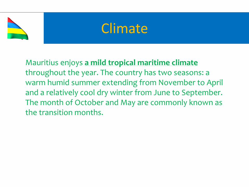
Mauritius enjoys a mild tropical maritime climate throughout the year. The country has two seasons: a warm humid summer extending from November to April and a relatively cool dry winter from June to September. The month of October and May are commonly known as the transition months.
Climate

Tourist Map

Aapravasi Ghat
Building complex locatedin Port Louis
first British colony to receivecontracted, labor workforce
UNESCO World Heritage site

Le Morne Brabant
UNESCO World Heritage site
single standing basaltic rock
1821 feet above sea level
rarest plant species

Grand Baie Beach
shopping
tourist village and large tourist beach
swimming, sailing, windsurfing
large choice of fashion and craft shops, hotels and
restaurants

Le Chateau de Labourdonnais
It is a combination of museum, garden, distillery and a
restaurant
owned by Christian Wiehe
constructed in the year 1856

Chamarel Village
dune with 7 different colors
Seven Colored Earth
area of 7.500 m2

Black River Gorges
national park in Mauritius
area of 16,244 hectares
rare bird species and fauna
declared open in 1994