Embed Size (px)
DESCRIPTION
Citation preview
Google Earth
Introduction
Google Earth is a free-of-charge, downloadable virtual globe program. It maps the entire
earth by pasting images obtained from satellite imagery, aerial photography and GIS over
a 3D globe. Most of us have been using one online mapping program or another for years
now. They're a godsend for those of us who get lost within a 3-mile radius of our homes,
and they're just plain fun for people who enjoy figuring out where stuff is. With this in
mind, imagine how amazing Google Earth must be for it to elicit awe from the online
community and cause South Korea to demand changes to the program.
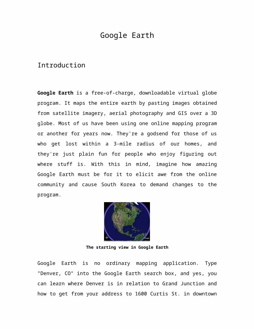
The starting view in Google Earth
Google Earth is no ordinary mapping application. Type "Denver, CO" into the Google
Earth search box, and yes, you can learn where Denver is in relation to Grand Junction
and how to get from your address to 1600 Curtis St. in downtown Denver. In the same
search, though, you can also learn that 1600 Curtis St. is in the 80202 zip code and that
there are 12 Starbucks Coffee shops within a half-mile radius of that address; you can
zoom out from 1600 Curtis St. and watch it disappear into a satellite view of the Earth
and then zoom back in as if you were falling onto 1600 Curtis St. from space; and if you
click on "Forbidden City" in the "Sightseeing" column, you can see what it would look
like to fly Superman-style from 1600 Curtis St. in Denver to the Forbidden Palace in
Beijing, China.
And you thought the world was small before.
The application is fairly easy to use, but there are a lot of functions to try out. So let's see
how you can get started with Google Earth.
Overview
Formerly known as Earth Viewer, Google Earth was developed by Keyhole, Inc., a
company Google acquired in 2004. The product was renamed Google Earth in 2005 and
is currently available for use on personal computers running Microsoft Windows 2000 or
XP, Mac OS X 10.3.9 and above, and Linux (Released on June 12 of 2006). In addition
to releasing an updated Keyhole based client, Google also added the imagery from the
Earth database to their web based mapping software.
Many large cities are available in a resolution high enough to see individual buildings,
houses, and even cars. In cities such as London, Washington DC, and Seattle, individual
people can be clearly discerned. The degree of resolution available is based somewhat on
the points of interest, but all land is covered in at least 15 meters of resolution. [citation needed]
Cambridge, MA and Fulton County, NY have the highest resolution, at six inches.
Google Earth allows users to search for addresses (for the USA, Canada, and Europe
only), enter coordinates, or simply use the mouse to browse to a location.
What is Google Earth?
Google Earth is currently available for download as a desktop application, although you
need to be connected to the Internet to use it. Every time you open Google Earth, it
automatically connects to Google's servers, giving you access to terabytes of
geographical, political and social data. For instance, you can view a city with certain
"layers" turned on, including topographical information, population data and crime
statistics for the area. The layers and all of the map navigation buttons, including zoom,
tilt and rotate, are all located in the Google Earth frame.
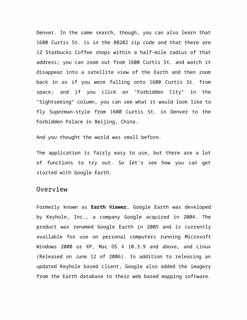
Launch page with toolbars
The big deal right now is that the basic version of Google Earth is completely free, and
there aren't even any ads. Of course, this could change in the future. So let's all start by
downloading the free version of the software located at Earth.Google.com while it's still
free and unfettered by ads. If your computer runs Windows, Linux or Mac OS X 10.3.9
or higher, and it's fewer than five years old, you should have no problem meeting the
system requirements. If your computer can't run the application, read on to find out what
you'll be able to do once you update your equipment.
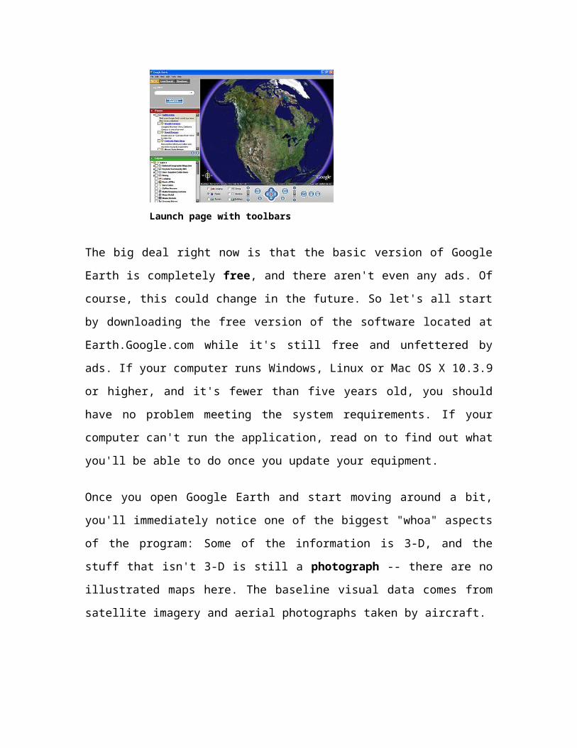
Once you open Google Earth and start moving around a bit, you'll immediately notice
one of the biggest "whoa" aspects of the program: Some of the information is 3-D, and
the stuff that isn't 3-D is still a photograph -- there are no illustrated maps here. The
baseline visual data comes from satellite imagery and aerial photographs taken by
aircraft.
While Google Earth comprises an array of features that would probably take months to
fully utilize, the basic features fit loosely into the following categories:
Mapping/directions
Local search
Sightseeing
We'll address each of these utilities in the following sections. But first, let's find out
where Google Earth gets its data.
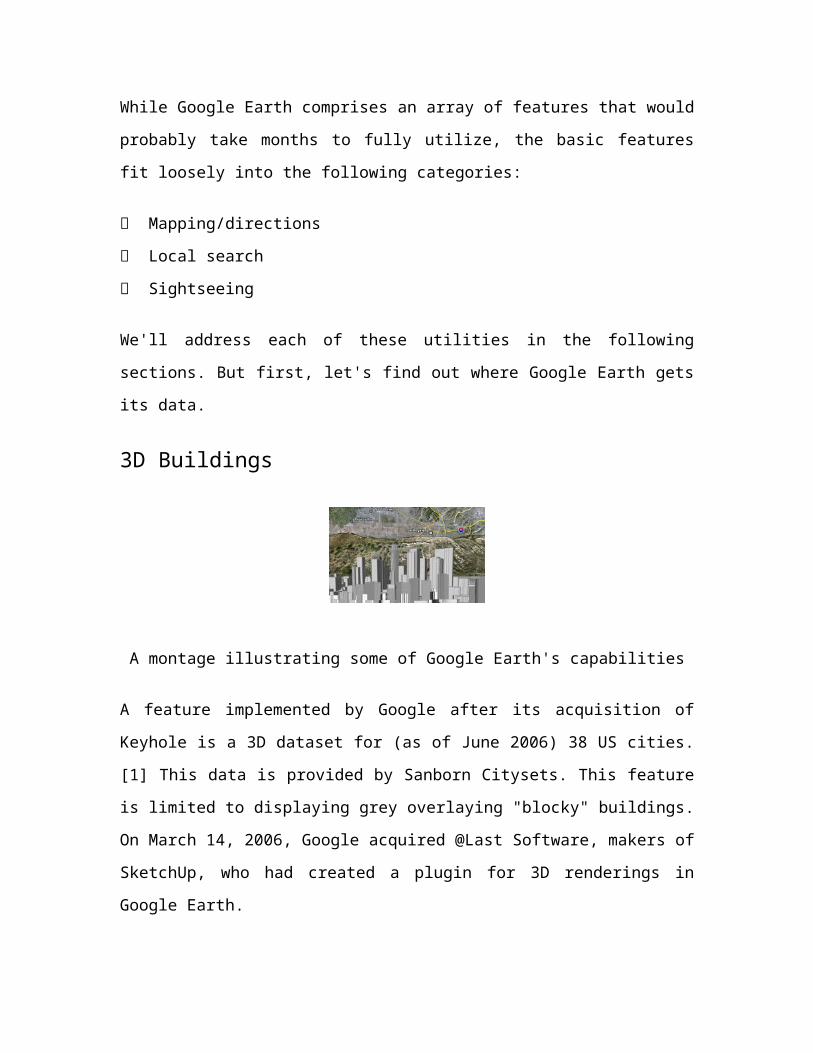
3D Buildings
A montage illustrating some of Google Earth's capabilities
A feature implemented by Google after its acquisition of Keyhole is a 3D dataset for (as
of June 2006) 38 US cities.[1] This data is provided by Sanborn Citysets. This feature is
limited to displaying grey overlaying "blocky" buildings. On March 14, 2006, Google
acquired @Last Software, makers of SketchUp, who had created a plugin for 3D
renderings in Google Earth.
The cities currently included are only from the United States. However, 3D buildings are
available for certain buildings around the world using programs from other websites. The
cities include: New York City (Manhattan below Central Park and West Brooklyn),
Chicago (the Loop, near Magnificent Mile, and residential areas north, south, and just
west of those areas along the lake), Los Angeles (downtown, areas along the Miracle
Mile, Wilshire Blvd), Honolulu (downtown and along the beach), San Francisco (the
northeastern quadrant), Philadelphia (downtown and residential areas to the south and
west), Houston (downtown), Washington, Boston, Dallas, Minneapolis, Saint Paul,
Miami, Atlanta, Denver, Seattle, Detroit (downtown), Arlington, Baltimore, St. Louis
(downtown), Pittsburgh, Cleveland, San Diego, Long Beach, Sacramento, Cincinnati,
Tampa, Fort Lauderdale, New Orleans, Kansas City, Buffalo, Portland, Las Vegas, Jersey
City (along the Hudson River), Newark, Memphis, Phoenix, and St. Petersburg, Florida,
USA.
Specifications
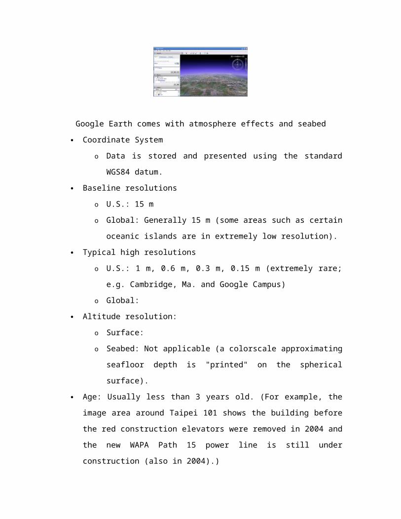
Google Earth comes with atmosphere effects and seabed
Coordinate System
o Data is stored and presented using the standard WGS84 datum.
Baseline resolutions
o U.S.: 15 m
o Global: Generally 15 m (some areas such as certain oceanic islands are in
extremely low resolution).
Typical high resolutions
o U.S.: 1 m, 0.6 m, 0.3 m, 0.15 m (extremely rare; e.g. Cambridge, Ma. and
Google Campus)
o Global:
Altitude resolution:
o Surface:
o Seabed: Not applicable (a colorscale approximating seafloor depth is
"printed" on the spherical surface).
Age: Usually less than 3 years old. (For example, the image area around Taipei
101 shows the building before the red construction elevators were removed in
2004 and the new WAPA Path 15 power line is still under construction (also in
2004).)
Google Earth is unlikely to operate on older hardware configurations. The most recent
downloads available document these minimum configurations:
Pentium 3, 500 Mhz
128 MB RAM
400 MB free disk space
Network speed: 128 Kbit/sec
3D-capable graphics card with 16 MB of Video RAM
1024x768, "16-bit High Color" screen
The most likely mode of failure is insufficient video RAM: the software is designed to
declare failure if 32 MB of video RAM is not available. The next most likely mode of
failure is Internet access speed. Except for the very patient, broadband internet (Cable,
DSL, T1, etc.) is required. Again, resolution is not uniform, some towns such as St.
Petersburg are only partially available in high-resolution. Compare the resolution of these
older B&W data:
http://terraserver-usa.com/image.aspx?
T=1&S=10&Z=17&X=3284&Y=20743&W=1
versus what is currently available with Google Earth in color:
Maps and aerial photos Coordinates: 37.4738° -79.2263°
o WikiSatellite view at WikiMapia
o Street map from MapQuest or Google Local
o Topographic map from TopoZone
o Aerial image or topographic map from TerraServer-USA
o Satellite image from Google Maps or Microsoft Virtual Earth
In this case, the TerraServer-USA data can identify individual trees but its data is
structured in cumbersome tiles. As with much GIS data, the utility of the data is
application-dependent for the purpose of determining if resolution is sufficient. Also note
that from a usability point of view, TerraServer loses its center point when one zooms in
and out where Google Earth browsing is smooth; a clear benefit, but at the price of the
somewhat demanding requirements imposed upon the video card.
It is worth noting however, that with some work, images from TerraServer can be
integrated as Image Overlays into Google Earth, allowing the user to combine the higher
(in some cases) resolution imagery from TerraServer over the smoother Google Earth
program.
Mac OS X Version
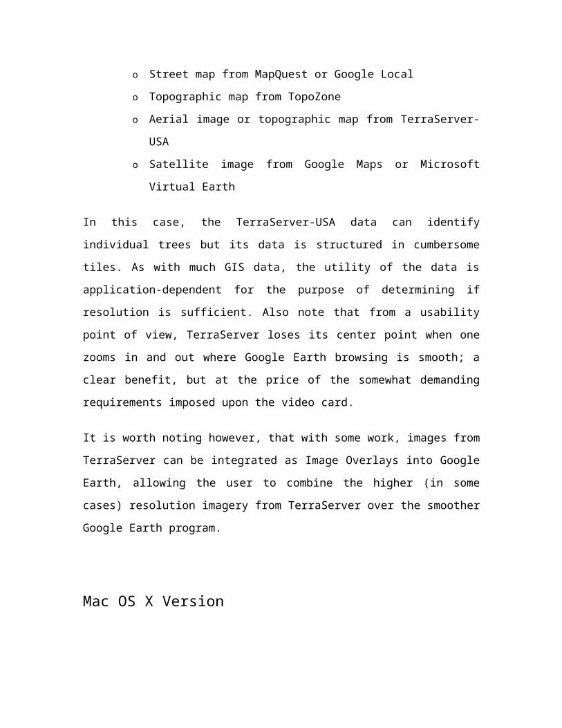
Google Earth (Mac OS X)
A version for Mac OS X was released on January 10, 2006, and is available for download
from the Google Earth website. With a few exceptions noted below, the Mac version
appears to be stable and complete, with virtually all the same functionality as the original
Windows version.
Screenshots and an actual binary of the Mac version had been leaked to the internet a
month previously, on December 8, 2005. The leaked version was significantly
incomplete. Among other things, neither the Help menu nor its "Display License" feature
worked, a pretty sure sign that the version was intended for Google's internal use only.
Google released no statement regarding the leak.
Currently, the Mac version runs only under Mac OS X versions 10.4 and 10.3.9.
Currently, there are no "Plus" or "Pro" versions for the stable release. There is no
embedded browser and no direct interface to Gmail. There are a few bugs concerning the
menu bar when switching between applications. There are a few bugs concerning
annotation balloons and printing.
The latest version is 4.0.1694 released on July 17, 2006, is currently available as a beta
version and features amongst others a new user interface and the option for Mac OS X
users to upgrade to the "Plus" version.
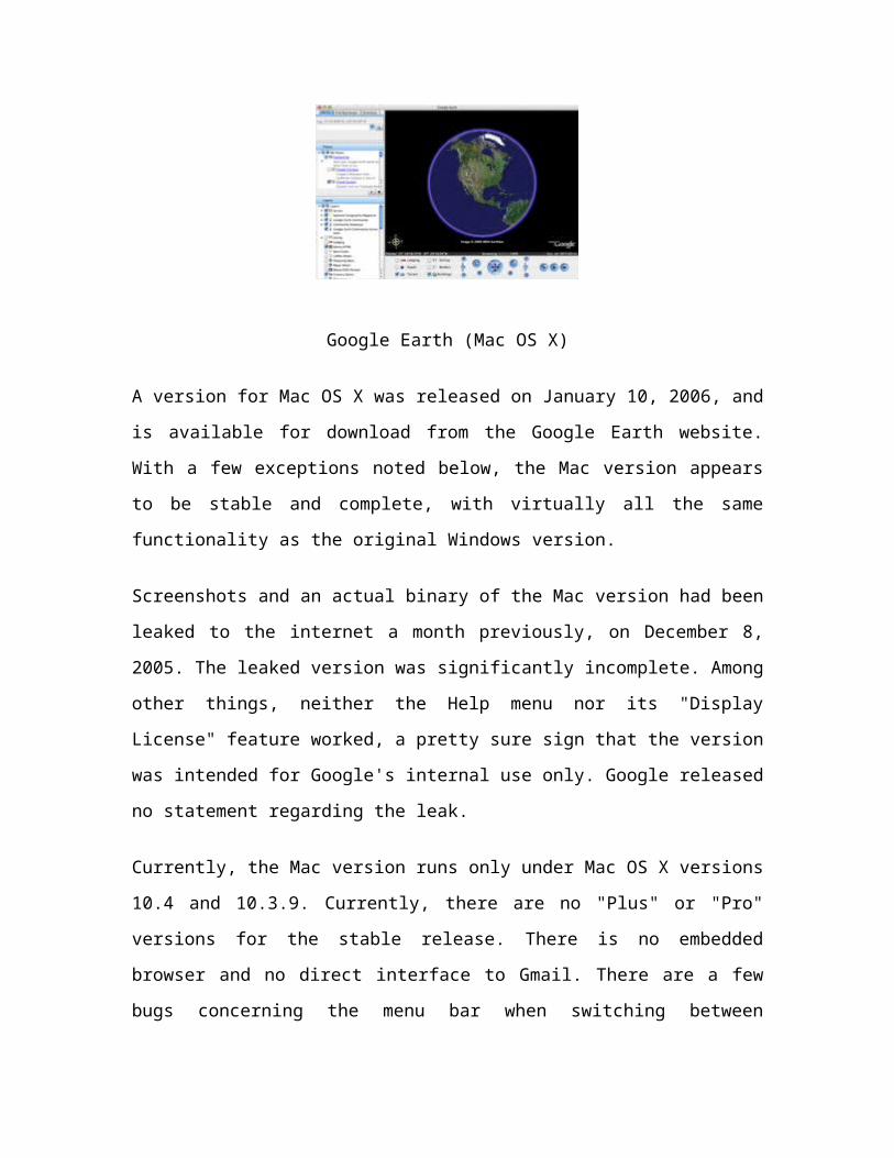
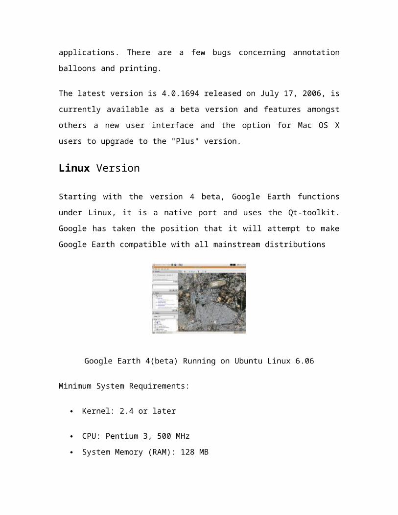
Linux Version
Starting with the version 4 beta, Google Earth functions under Linux, it is a native port
and uses the Qt-toolkit. Google has taken the position that it will attempt to make Google
Earth compatible with all mainstream distributions
Google Earth 4(beta) Running on Ubuntu Linux 6.06
Minimum System Requirements:
Kernel: 2.4 or later
CPU: Pentium 3, 500 MHz
System Memory (RAM): 128 MB
Hard Disk: 400 MB free space
Network Speed: 128 kbit/s
Screen: 1024x768, 16 bit color
Tested and works on the following OSs:
o Ubuntu 5.10/6.06
o Suse 10.1
o Fedora Core 4/5
o Linspire 5.1
o Gentoo 2006.0
o Debian 3.1
o Red Hat 9
o Slackware 10.2
o FreeBSD 6.1/7.0 with Linux Emulation
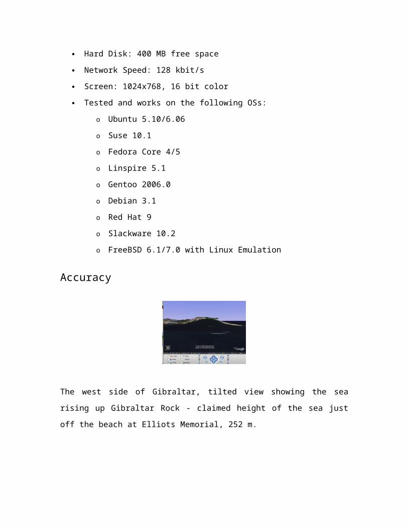
Accuracy
The west side of Gibraltar, tilted view showing the sea rising up Gibraltar Rock - claimed
height of the sea just off the beach at Elliots Memorial, 252 m.
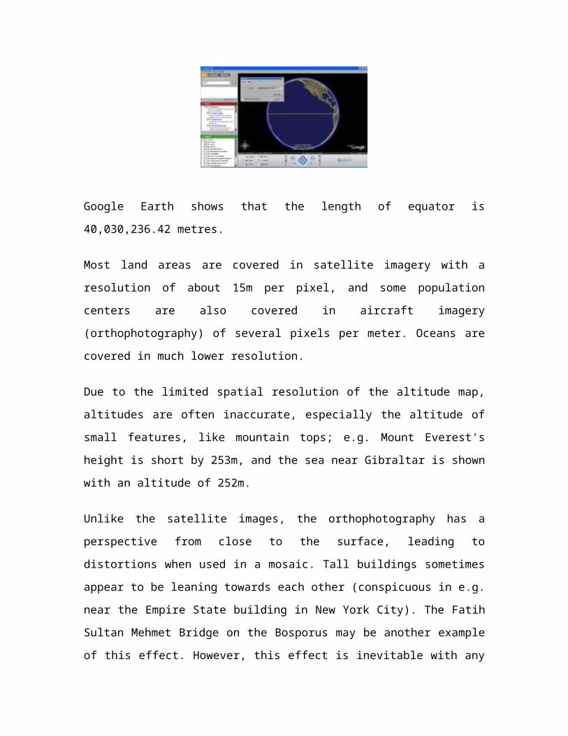
Google Earth shows that the length of equator is 40,030,236.42 metres.
Most land areas are covered in satellite imagery with a resolution of about 15m per pixel,
and some population centers are also covered in aircraft imagery (orthophotography) of
several pixels per meter. Oceans are covered in much lower resolution.
Due to the limited spatial resolution of the altitude map, altitudes are often inaccurate,
especially the altitude of small features, like mountain tops; e.g. Mount Everest's height is
short by 253m, and the sea near Gibraltar is shown with an altitude of 252m.
Unlike the satellite images, the orthophotography has a perspective from close to the
surface, leading to distortions when used in a mosaic. Tall buildings sometimes appear to
be leaning towards each other (conspicuous in e.g. near the Empire State building in New
York City). The Fatih Sultan Mehmet Bridge on the Bosporus may be another example of
this effect. However, this effect is inevitable with any source of aerial photography, and
is present in Getmapping's imagery of England and Wales, and the providers of much of
the detailed photography have processed the images so that the joins are as seamless as
possible.
Google has resolved many inaccuracies in the vector mapping since the original public
release of the software, without requiring an update to the program itself. An example of
this was the absence of the Nunavut territory in Canada, an area comparable in size to
Western Europe.[citation needed] Google Earth's map boundaries of Northern Canada showed
only the Northwest Territories, not the division of Nunavut created on April 1, 1999. This
inaccuracy was corrected by one of the data updates in early 2006. Recent updates have
also increased the coverage of detailed aerial photography, particularly in western
Europe. Yet aeroplanes that were in flight as the pictures were taken are clearly visible - a
prime example being a plane flying over the Devil's Punch Bowl, Hindhead, Surrey, UK
that dramatically blocks the view.
Many of the images also appear to be out of date. For example, based on the scale of new
development, Milton Keynes in the UK is at least six years out of date. New applications,
such as ViewGL, were developed to address this situation.
Errors sometimes occur due to the technology used to measure how tall terrain is to
create the effect of mountains in 3D, such as tall buildings in Adelaide being mistaken for
a small mountain, instead of being rendered flat like it should be.
Place name and road detail vary greatly from place to place, and are most accurate in the
USA and Europe, although regular mapping updates tend to improve this. Also, the North
and South Poles are marked as 89°59'60" N and 89°59'60" S respectively, rather than the
correct 90°00'00" N and 90°00'00" S.
The images are not all taken at the same time, but are generally current to within three
years. Image sets are sometimes not correctly stitched together. Updates to the
photographic database can occasionally be noticed when placemarks appear to shift
unexpectedly across the earth's surface. Though the placemarks have not in fact moved,
the imagery is composed and stitched differently. Such an update to London's
photography in early 2006 created shifts of 15-20 metres in many areas, noticeable
because the resolution is so high.
The "Measure" function shows that the length of equator is about 40,030.24 km, giving
an error of −0.112% compared with the actual value of 40,075.02 km; for the meridional
circumference, it shows a length of about 39,963.13 km, also giving an error of −0.112%
compared with the actual value of 40,007.86 km.
The stars in the background are not random. Google Earth uses a real star map to render
the background.
Criticisms
US bias
The software, in particular the search engine, is criticised for its US-bias; for example,
entering in searches for "Birmingham" and for "St. Petersburg" bring up US cities, as
opposed to the original and larger cities of those names (in the UK and Russia
respectively). Fortunately, in Google Earth 4 (beta), more major cities can be found
without typing in the country name (eI: Melbourne, Singapore, Shanghai, Cairo, Cape
Town, Cologne (Köln), Lima, and Jerusalem). Still, some places outside of the US can't
be found with the search function unless the country name is added and written out in full
(except for "UK" and "MX"), while you can simply abbreviate states for US locations.
The default setting is to U.S. customary units, despite metric units being the international
standard officially adopted by every nation but three (the U.S, Liberia, and Myanmar,
although Liberia and Myanmar use metric in practice). Critics assert that while the units
can be changed, they should be set to metric by default, as well as pointing out that the
3D buildings feature is also limited at present to major US cities. Others counter that, as
an American creation by a predominantly US-based corporation, it is Google's right to
give preference to that country. Additionally, Google Earth has recently had their largest
update of earth imagery, making at least 33% of land covered by satellite images.
Google has also admitted problems with the software on systems using non-ASCII
characters, for example, Chinese or Japanese.
Naming disputes
Some South Korean users have been angered by the fact that Google Earth and Google
Maps use Japanese names for bays along the southeastern coast of the Korean
Peninsula.Examples include bays near Busan (labelled Nakutogu Po and Kanrai ho),
Masan (labelled Masan Ko, Kisan-ko, and Unchen Wan), and Goseong (labelled Kojo-
wan, Toto wan, Nan Wan, and Toei kawan).
The software was criticized by Taiwanese users because the island was labelled as a
province of mainland China. This has since been changed, but the change has angered the
People's Republic of China.
Google Earth confuses towns in Poland and Germany: Jelenia Gora in Poland is
incorrectly referred to as Hirschberg, whereas Görlitz on the west side of the border is
called Zgorzelec, the name of its Polish neighbour.
Google Earth, under "alternate place names," includes "Jerusalem" and "Yerushalayim"
but does not include the Arabic name for the city, "Al Quds".
National security and privacy issues
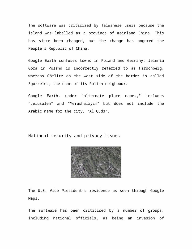
The U.S. Vice President's residence as seen through Google Maps.
The software has been criticised by a number of groups, including national officials, as
being an invasion of privacy and even posing a threat to national security. The typical
argument is that the software provides information about military or other critical
installations that could be used by terrorists. The following is a selection of such
concerns:
The Indian president APJ Abdul Kalam has expressed concern over the
availability of high-resolution pictures of sensitive locations in India.
The South Korean government has expressed concern that the software offers
images of the presidential palace and various military installations that could
possibly be used by their hostile neighbour North Korea.
The 2006 incidental finding of a large topographical replica in the remote
Huangyangtan region of China, purportedly a small-scale recreation of the
Karakoram mountain range currently under Indian control. When it was
confirmed that the territory modelled corresponded to a politically disputed
borderline between the neighboring nations, spectators began to entertain sinister
military implications.
Operators of the Lucas Heights nuclear reactor in Sydney, Australia asked Google
to censor high resolution pictures of the facility.However, they later withdrew the
request.
Additionally some citizens, particularly the rich or famous, as well as victims or
perpetrators of crime, may have concerns over aerial information depicting their
properties and residences being diseminated freely. As relatively few jurisdictions
actually guarantee the individual's right to privacy, as opposed to the state's right to
secrecy, this is an evolving, but minor, point. Perhaps aware of these critiques, for a time,
Google had Area 51 (which is highly visible and easy to find) in Nevada as a default
placemark when Google Earth is first installed.
As a result of pressure from the United States government, the residence of the Vice
President at Number One Observatory Circle is obscured through pixelization in Google
Earth and Google Maps.
Google Earth Community
The Google Earth Community is an online forum which is dedicated to produce
placemarks of interesting or educational perspectives. It may be found on the Google
Earth webpage or under the Help section on the program itself. After downloading a
placemark, it will automatically run Google Earth (if not opened), and fly to the area
specified by the person who placed it. Once there, you can add it to your "My Places" by
right clicking on the icon and selecting "Save to My Places". Additionally, anyone can
post a placemark for others to download; as long as you have an account.
Google Earth Plus
Google Earth can be upgraded to a "Plus" edition for $20. Google Earth Plus is an
individual-oriented paid subscription upgrade to Google Earth and adds the following
features:
GPS integration – read tracks and waypoints from a GPS device. 3rd party
applications have been created which provide this functionality using the basic
version of Google Earth by generating KML files based on user-specified
waypoints. However, these tools only work with specific GPS devices whereas
Google Earth Plus provides support for the Magellan and Garmin product lines,
who together hold a large share of the GPS market.
Higher resolution printing.
Customer support via email.
Annotation – adds draw/sketch tools for richer annotations (can be shared as
KML).
Data importer – read address points from CSV files.
Google Earth Pro
Google Earth Pro is a business-oriented paid upgrade to Google Earth that has more
features than the "Plus" version and costs $400 to purchase. The Pro version is capable of
running additional add-on software.
Google Earth Data
Google Earth was once a premium program called Keyhole that cost about $90. When
Google purchased Keyhole, it inherited terabytes of digital mapping data and set about
creating a basic version of the software that would be available for free download. Now
you're all caught up.
Mount St. Helens, Washington State, USA
The photographic maps available on Google Earth come primarily from two sources:
satellites and aircraft. Google gets this imagery and other digital mapping information
from sources such as TeleAtlas and EarthSat, both of which compile photographs and
maps into digital form for commercial applications. Because the data comes from
different sources, it's provided at different resolutions, which is why some areas of the
globe appear crisp even at street level while others are blurry from a great distance. When
you use Google Earth, you are not viewing the imagery in real-time: According to
Google, the information is no more than three years old and is continually updated as new
data becomes available.
Google Earth has the United States, Canada and the United Kingdom covered to street
level, meaning you can zoom in and view road names and local businesses and get
directions from here to there. The database has a good amount of information on Western
Europe, as well, but the rest of the world is hit or miss. While you can zoom in and get a
pretty good look at the Egyptian pyramids, you can't see street names or find a grocery
store in the area.
This brings us to another source of Google Earth's data: the Google search engine. Part of
what makes Google Earth so addictive is its collaboration with Google search. When
you're viewing a city, you can search for coffee shops, restaurants, grocery stores, bars
and tons of other businesses in the vicinity, and you can click on them to get detailed
information from the Google search engine. Users can also add a business location to a
map by clicking on "Add/Edit a Business Listing" in the Google Earth toolbar.
Now let's get back to playing with Google Earth. In the next section, we'll start with the
basic functions.
Conclusion
Google Earth is a free-of-charge, downloadable virtual globe program. It maps the entire
earth by pasting images obtained from satellite imagery, aerial photography and GIS over
a 3D globe. Most of us have been using one online mapping program or another for years
now. Google Earth is no ordinary mapping application. Google Earth is currently
available for download as a desktop application, although you need to be connected to the
Internet to use it. Every time you open Google Earth, it automatically connects to
Google's servers, giving you access to terabytes of geographical, political and social data.
Bibliography
Sites:
1) www.earth.google.com
2) www.digg.com
3) www.nature.com