Embed Size (px)
Citation preview


INTRODUCTION
ORIGIN OF GPS
OPERATION OVERVIEW
SPACE SEGMENT
CONTROL SEGMENT
USER SEGMENT
ERRORS
APPLICATIONS

The Global Positioning System (GPS) is a space-based satellite navigation system that provides location and time information in all weather, anywhere on or near the Earth, where there is an unobstructed line of sight to four or more GPS satellites. It is maintained by the United States government and is freely accessible by anyone with a GPS receiver.
The design of GPS is based partly on similar ground-based radio-navigation systems, such as LORAN and the Decca Navigator developed in the early 1940s, and used during World War II. In 1956,Friedwardt Winterberg proposed a test of general relativity (for time slowing in a strong gravitational field) using accurate atomic clocks placed in orbit inside artificial satellites. (To achieve accuracy requirements, GPS uses principles of general relativity to correct the satellites' atomic clocks.) Additional inspiration for GPS came when the Soviet Union launched the first man-made satellite , Sputnik in 1957. The first satellite navigation system, Transit (satellite), used by the United States Navy, was first successfully tested in 1960. It used a constellation of five satellites and could provide a navigational fix approximately once per hour. In 1967, the U.S. Navy developed the Timation satellite that proved the ability to place accurate clocks in space, a technology required by GPS. In the 1970s, the ground-based Omega Navigation System, based on phase comparison of signal transmission from pairs of stations, became the first worldwide radio navigation system . During Labor Day weekend in 1973, a meeting of about 12 military officers at the Pentagon discussed the creation of a Defense Navigation Satellite System (DNSS). It was at this meeting that "the real synthesis that became GPS was created." Later that year, the DNSS program was named Navstar. With the individual satellites being associated with the name Navstar (as with the predecessors Transit and Timation), a more fully encompassing name was used to identify the constellation of Navstar satellites, Navstar-GPS, which was later shortened simply to GPS.

Official name of GPS is Navigational Satellite Timing And Ranging Global Positioning System (NAVSTAR GPS)
Global Positioning Systems (GPS) is a form of Global Navigation Satellite System (GNSS)
First developed by the United States Department of Defense
Consists of two dozen GPS satellites in medium Earth orbit (The region of space between 2000km and 35,786 km)
Made up of two dozen satellites working in unison are known as a satellite constellation
This constellation is currently controlled by the United States Air Force 50th Space Wing
It costs about $750 million to manage and maintain the system per year
Mainly used for navigation, map-making and surveying
Official logo for NAVSTAR GPS

A GPS receiver can tell its own position by using the position data of itself, and compares that data with 3 or more GPS satellites.
To get the distance to each satellite, the GPS transmits a signal to each satellite.
The signal travels at a known speed.
The system measures the time delay between the signal transmission and signal reception of the GPS signal.
The signals carry information about the satellite’s location.
Determines the position of, and distance to, at least three satellites, to reduce error.
The receiver computes position using trilateration.

Trilateration

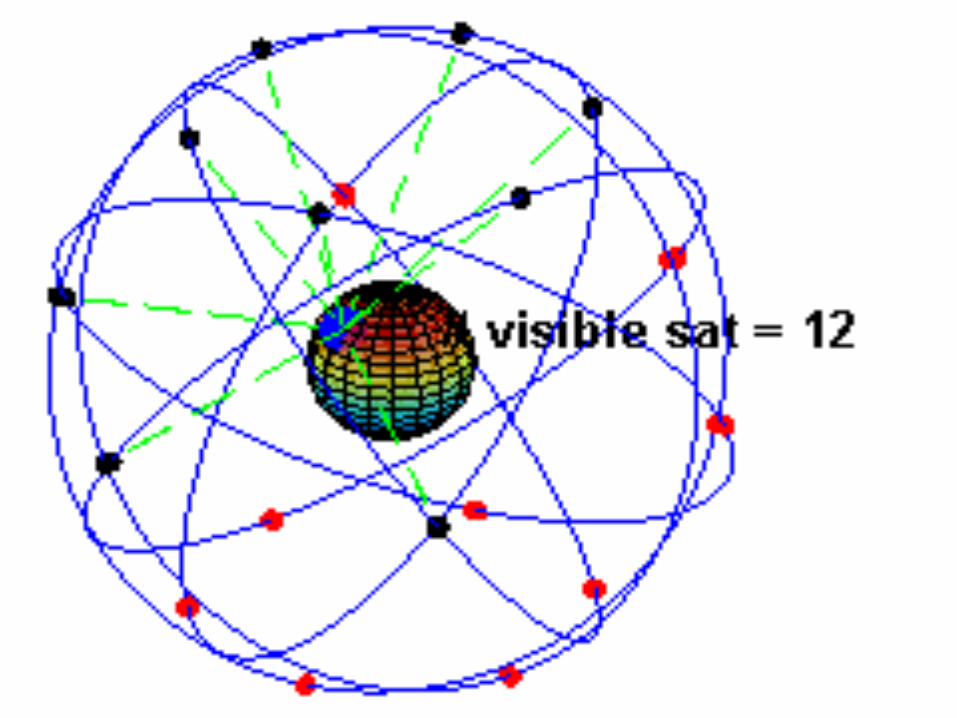
GPS satellites fly in circular orbits at an altitude of 20,200 km and with a period of 12 hours.
Powered by solar cells, the satellites continuously orient themselves to point their solar panels toward the sun and their antenna toward the earth.
Orbital planes are centered on the Earth
Each planes has about 55° tilt relative to Earth's equator in order to cover the polar regions.

There are currently 30 actively broadcasting satellites in the GPS constellation.
Redundancy is used by the additional satellites to improve the precision of GPS receiver calculations.
A non-uniform arrangement improves the reliability and availability of the system over that of a uniform system, when multiple satellites fail
This is possible due to the number of satellites in the air today
The CS consists of 3 entities:
Master Control System
Monitor Stations
Ground Antennas

The master control station, located at Falcon Air Force Base in Colorado Springs, Colorado, is responsible for overall management of the remote monitoring and transmission sites.
GPS ephemeris is the tabulation of computed positions, velocities and derived right ascension and declination of GPS satellites at specific times for eventual upload to GPS satellites.
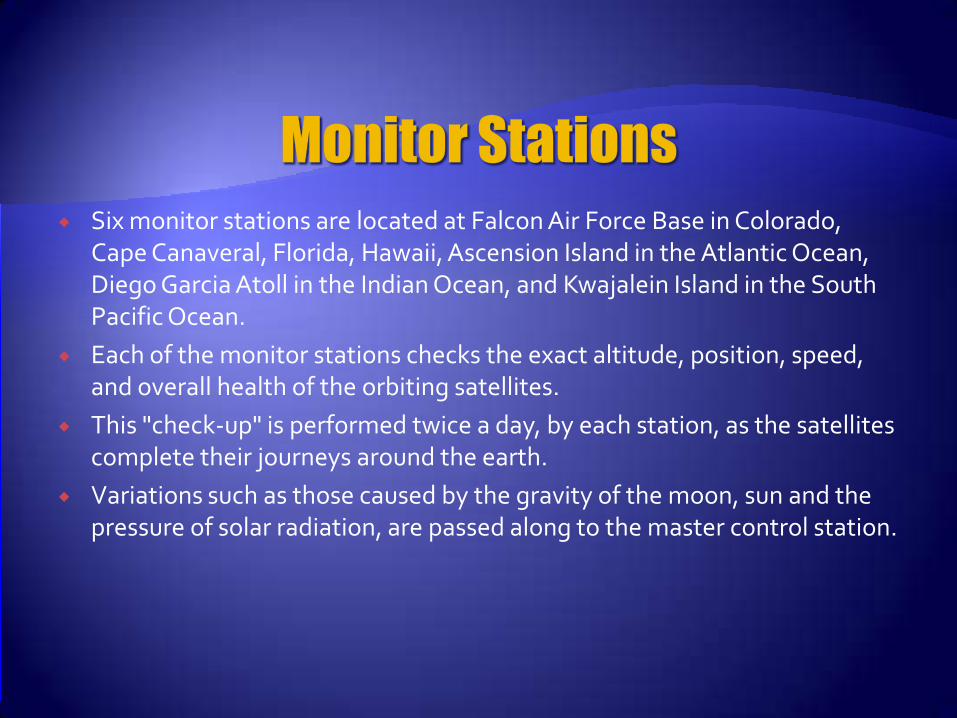
Six monitor stations are located at Falcon Air Force Base in Colorado, Cape Canaveral, Florida, Hawaii, Ascension Island in the Atlantic Ocean, Diego Garcia Atoll in the Indian Ocean, and Kwajalein Island in the South Pacific Ocean.
Each of the monitor stations checks the exact altitude, position, speed, and overall health of the orbiting satellites.
This "check-up" is performed twice a day, by each station, as the satellites complete their journeys around the earth.
Variations such as those caused by the gravity of the moon, sun and the pressure of solar radiation, are passed along to the master control station.

Ground antennas monitor and track the satellites from horizon to horizon.
They also transmit correction information to individual satellites.

The user's GPS receiver is the US of the GPS system.
GPS receivers are generally composed of an antenna, tuned to the frequencies transmitted by the satellites, receiver-processors, and a highly-stable clock, commonly a crystal oscillator).
They can also include a display for showing location and speed information to the user.
A receiver is often described by its number of channels this signifies how many satellites it can monitor simultaneously. As of recent, receivers usually have between twelve and twenty channels.

There are various types of error in GPS . These are:
• Satellite clock : One nano second of inaccuracy in a satellite clock results in about 30 cm (1 foot) of error in measuring the distance to that satellite
• Receiver clock : Similar to satellite clock error, any error in the receiver clock causes inaccuracy
in distance measurement. However it is not practical to equip receiver with very accurate atomic clocks. Atomic clocks weigh more than 20 kgs, cost about US$ 50,000.
• Atmospheric error:Ionosphere :The impact of the ionospheric on the electronic signal depend on the
frequency of the signal. The higher the frequency, the less is the impact. So the ionosphere may delay the code of one frequency.
Troposphere : The lower level of the atmosphere which contains water vapors is called the troposphere. It has the effect of slowing down both code and carrier.
• Multi-path error : In measuring distance to each satellite we assume that the satellite signal
travel directly from the satellite to antenna of the receiver. But in addition to the direct signal there are reflective signal from the ground and the objects near the antenna, that also reach the antenna through indirect path and interface with the direct signal.
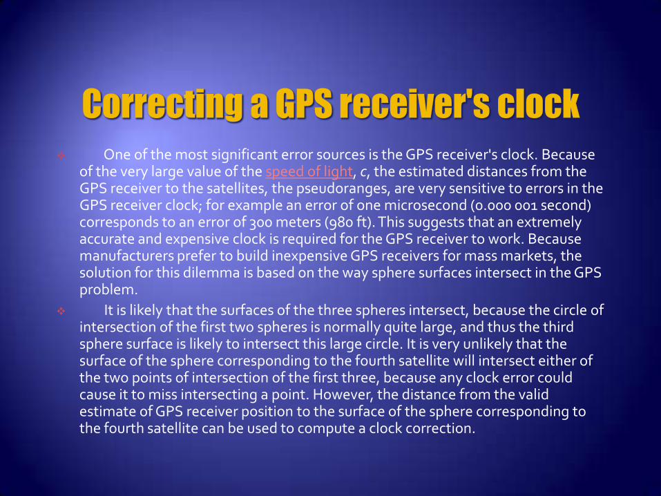
One of the most significant error sources is the GPS receiver's clock. Because of the very large value of the speed of light, c, the estimated distances from the GPS receiver to the satellites, the pseudoranges, are very sensitive to errors in the GPS receiver clock; for example an error of one microsecond (0.000 001 second) corresponds to an error of 300 meters (980 ft). This suggests that an extremely accurate and expensive clock is required for the GPS receiver to work. Because manufacturers prefer to build inexpensive GPS receivers for mass markets, the solution for this dilemma is based on the way sphere surfaces intersect in the GPS problem.
It is likely that the surfaces of the three spheres intersect, because the circle of intersection of the first two spheres is normally quite large, and thus the third sphere surface is likely to intersect this large circle. It is very unlikely that the surface of the sphere corresponding to the fourth satellite will intersect either of the two points of intersection of the first three, because any clock error could cause it to miss intersecting a point. However, the distance from the valid estimate of GPS receiver position to the surface of the sphere corresponding to the fourth satellite can be used to compute a clock correction.

Clock synchronization: The accuracy of GPS time signals (±10 ns)[60] is second only to the atomic clocks upon which they are based.
Cellular telephony: Clock synchronization enables time transfer, which is critical for synchronizing its spreading codes with other base stations to facilitate inter-cell handoff and support hybrid GPS/cellular position detection for mobile emergency calls and other applications. The first handsets with integrated GPS launched in the late 1990s. The U.S. Federal Communications Commission (FCC) mandated the feature in either the handset or in the towers (for use in triangulation) in 2002 so emergency services could locate 911 callers.
Disaster relief/emergency services: Depend upon GPS for location and timing capabilities.
Geofencing: Vehicle tracking systems, person tracking systems, and pet tracking systems use GPS to locate a vehicle, person, or pet. These devices are attached to the vehicle, person, or the pet collar. The application provides continuous tracking and mobile or Internet updates should the target leave a designated area.[61]

Geotagging: Applying location coordinates to digital objects such as photographs and other documents for purposes such as creating map overlays.
Map-making: Both civilian and military cartographers use GPS extensively.
Navigation: Navigators value digitally precise velocity and orientation measurements.
Phasor measurements: GPS enables highly accurate time stamping of power system measurements, making it possible to compute phasors.
Robotics: Self-navigating, autonomous robots using a GPS sensors, which calculate latitude, longitude, time, speed, and heading.
Surveying: Surveyors use absolute locations to make maps and determine property boundaries.
Tectonics: GPS enables direct fault motion measurement in earthquakes. Telematics: GPS technology integrated with computers and mobile
communications technology in automotive navigation systems

Military GPS user equipment has been integrated into fighters, bombers, tankers, helicopters, ships, submarines, tanks, jeeps, and soldiers' equipment.
In addition to basic navigation activities, military applications of GPS include target designation of cruise missiles and precision-guided weapons and close air support.
To prevent GPS interception by the enemy, the government controls GPS receiver exports
GPS satellites also can contain nuclear detonation detectors.
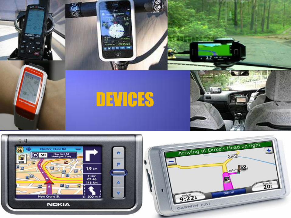
DEVICES
I. www.wikipedia.com/globalpositioingsystem
II. www.gpsy.com/gpsinfo
III. www.navsen.uscg.mil.gps